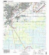
Block
BlockFrom the record
One of 191 National Register listings published here for Miami-Dade County · listed in 1996 · category: Building.
Sources: the case file at the National Archives · the National Register database, National Park Service
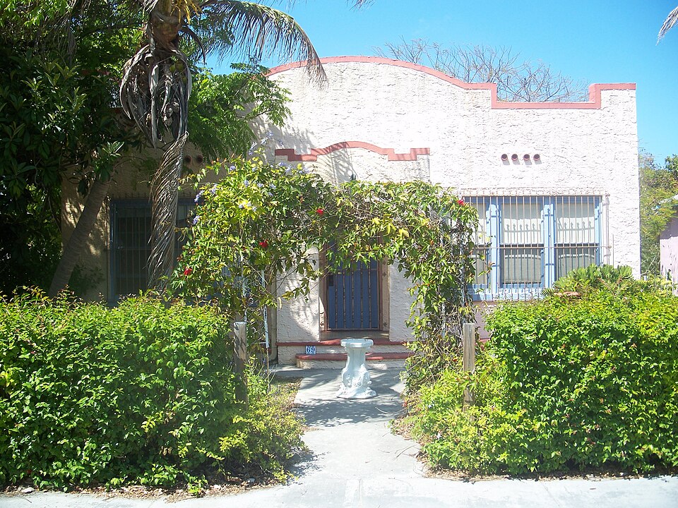
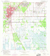
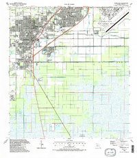
Listed on the National Register of Historic Places in 1996. 8 historic topographic surveys show this location, the earliest from 1950.
One of 191 National Register listings published here for Miami-Dade County · listed in 1996 · category: Building.
Sources: the case file at the National Archives · the National Register database, National Park Service
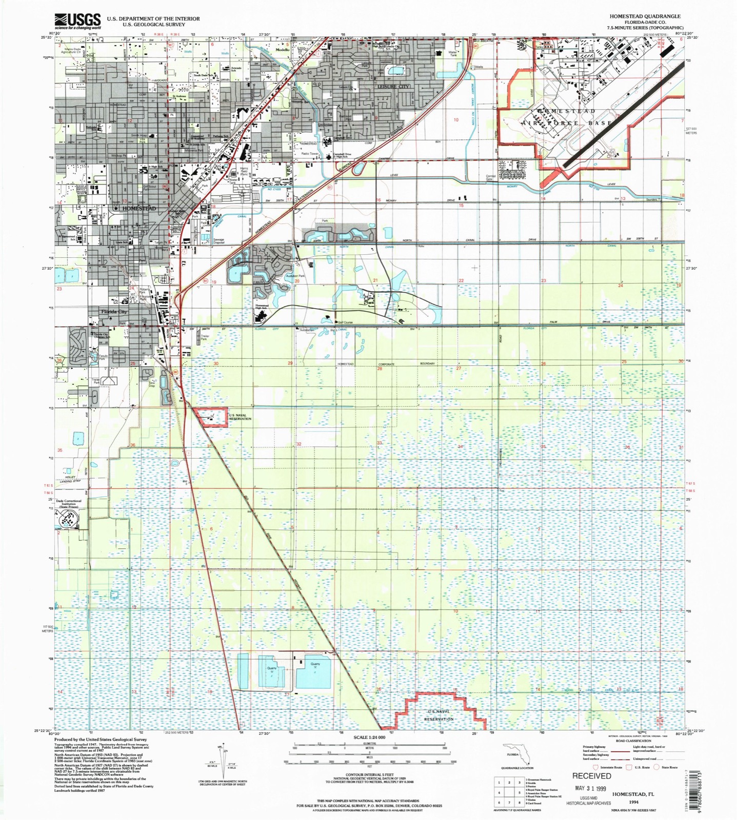
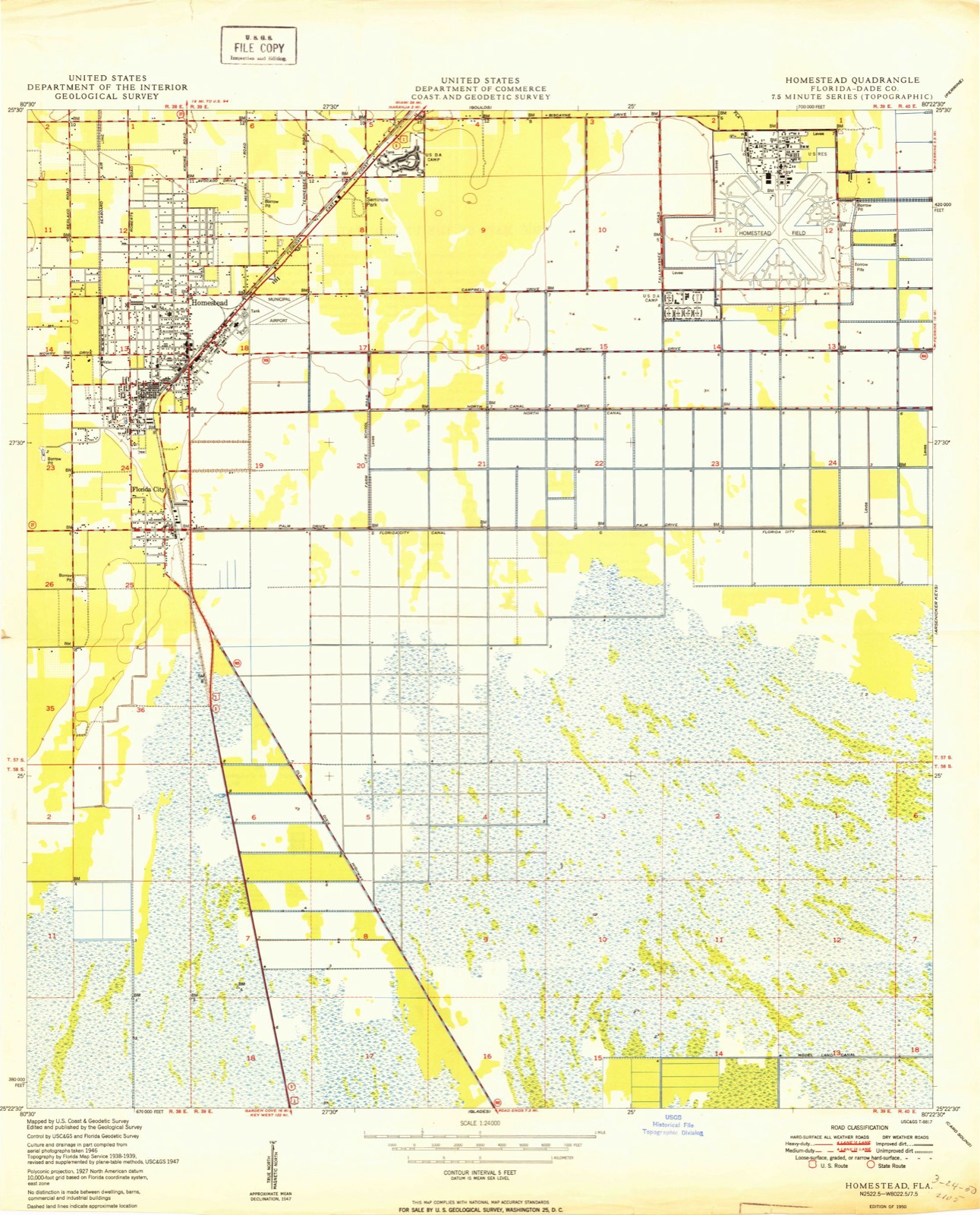
The ground this property stands on, surveyed 44 years apart. Drag the handle to wipe between them. Both sheets are United States Geological Survey originals; neither has been altered.
Regional context, not property-specific evidence. The federal wildfire occurrence database lists 544 fires within 5 miles of Thomas Faust House between 1992 and 2020, burning about 19,866 acres in total. 15 started naturally. 173 were recorded as arson. Distance is straight-line from the map coordinates, so a fire counted here may appear on a neighbouring settlement's page as well.
| Reported cause | Fires |
|---|---|
| Arson/incendiarism | 173 |
| Equipment and vehicle use | 148 |
| Railroad operations and maintenance | 95 |
| Missing data/not specified/undetermined | 37 |
| Misuse of fire by a minor | 28 |
| Debris and open burning | 27 |
| Recreation and ceremony | 15 |
| Natural | 15 |
| Fireworks | 3 |
| Smoking | 3 |
The most recent of them, most recent first, with the day each was reported and the service that recorded it.
| Date | Cause | Size | Reported by | Name on the report |
|---|---|---|---|---|
| 7 September 2019 | Arson/incendiarism | 5.0 acres | Florida Forest Service | BASE (13) |
| 29 September 2013 | Arson/incendiarism | 75 acres | Florida Forest Service | SUNDAY MIDNIGHT FIRE ( 13 ) |
| 28 September 2019 | Equipment and vehicle use | 5.0 acres | Florida Forest Service | WESTERN (13) |
| 18 September 2018 | Arson/incendiarism | under an acre | Florida Forest Service | THE MORNING - (13) |
| 11 September 2012 | Debris and open burning | under an acre | Florida Forest Service | CONCRETE PILE (13) |
| 3 August 2007 | Misuse of fire by a minor | 1.0 acres | Florida Forest Service | SEMINOLE FIRE |
| 22 August 2010 | Natural | under an acre | Florida Forest Service | POLE FIRE |
| 20 August 2007 | Arson/incendiarism | 3.5 acres | Florida Forest Service | PALM FIRE |
Regional context, not property-specific evidence. The federal mineral resources record lists 3 workings within 5 miles of Thomas Faust House: 2 producers, 1 past producer. 2 still produce. What was taken out: Stone, Crushed/Broken, Limestone, General. Distance is straight-line from the map coordinates, so a quarry counted here may appear on a neighbouring settlement's page as well.
| Where | Site | Commodity | Status | Recorded |
|---|---|---|---|---|
| The Redland Company, Inc. - Kesgate | Limestone, General | Producer | Limestone | |
| Cutler Pit | Stone, Crushed/Broken | Producer | ||
| Naranja Limestone Quarry | Stone, Crushed/Broken | Past Producer |
Regional context, not property-specific evidence. The National Weather Service names Homestead, the town this property stands in, in 40 storm reports between 1993 and 2025: 10 thunderstorm wind, 8 funnel cloud, 6 hail, 4 lightning. The reports record 1 death and 7 injuries. Each account below is quoted exactly as the forecast office filed it, from the NOAA Storm Events Database, and each date opens the federal record of that event.
| When | Event | Place named | Harm | What the report says |
|---|---|---|---|---|
| July 2002 | Lightning | Homestead | 1 killed, 1 hurt | Two men walking through a nursery in the Redlands were affected by lightning. One man was killed instantly and the other injured and treated at a local hospital. It had just started raining at the time the lightning struck. |
| June 2012 | Lightning | Homestead | 3 hurt | Three men were injured by a lightning strike at a construction site in Homestead. One of the men suffered from severe burns and another went into cardiac arrest. The ages of the victims were unclear and were taken to Ryder Trauma Center at Jackson Memorial Hospital. A third 29-year old male was taken to Homestead General Hospital where he was treated for minor injuries and released. |
| August 2006 | Lightning | Homestead | 2 hurt | Two boys, ages 10 and 12, were struck by lightning while playing soccer in an open field at Northwest 2nd Avenue and 6th Street. The 12-year-old was treated at a local hospital and released soon afterwards. The younger boy was in intensive care but apparently survived the strike.Witnesses said it was raining and thundering when the boys were outside playing. |
| August 1997 | Lightning | Homestead | 1 hurt | 11 year old boy struck and injured by ligtning exact time and location unknown. |
| April 2000 | Wildfire | Homestead | $100,000 | no account filed |
| January 2002 | Tornado (F1) | Homestead | $50,000 | A lone "supercell"-like thunderstorm was observed by Miami doppler radar moving ashore from the Gulf of Mexico into Mainland Monroe County. The thunderstorm then moved at a forward speed of 35 mph across south Miami-Dade County. It is estimated that a tornado formed from this thunderstorm over Everglades National Park and lifted near Homestead. Several reports from SKYWARN spotters of large hail and high winds were received from the periphery of the tornado. The weather observer at Homestead Air Reserve Station sighted the funnel 2 miles west of his location. A reliable eyewitness who went through the tornado estimated wind gusts of 74 to 95 mph.The roof of a lumberyard was severely damaged and two other businesses suffered minor damage. A house's pool enclosure was damaged and trees and signs were blown down. Telephone poles along Card Sound Road were broken. |
| June 2000 | Thunderstorm Wind | Homestead | $10,000 | no account filed |
| May 2016 | Flood | Homestead | $5,000 | Homestead Police Department reported one street closure due to flooding. The nearest intersection was unavailable. Several nearby rain gauges in reported 24 hour rainfall totals between 5 and 8 inches rainfall. |
| March 1993 | Thunderstorm Wind | Homestead | $5,000 | Strong thunderstorm winds peeled off a mobile home roof. |
| May 2024 | Thunderstorm Wind | Homestead | $500 | An emergency manager reported downed large tree branches, and a nearby wind gust of 58 mph / 50 knots was measured at the FSWN Mesonet Station at Miami Dade College in Homestead after a severe thunderstorm moved through the area. |
| March 2025 | Hail | Homestead | - | A member of the public reported hail up to the size of pennies at the Homestead RaceTrac gas station on SW 312th Street. |
| September 2018 | Flood | Homestead | - | Heavy rainfall associated with Tropical Storm Gordon fell across much of southern Miami-Dade County, including the Homestead area. Multiple reports of 5 to 7 inches of rain fell across the region, which led to some minor street flooding and a few partial lane closures. |
| December 2015 | Heavy Rain | Homestead | - | Several road closures in Homestead in the Villages of Homestead and Tennessee Estates subdivisions as a result of flooded roadways. Rainfall amounts were in the 6 to 7 inch range, most of it falling in less than 9 hours. |
| October 2011 | Flash Flood | Homestead | - | Heavy and persistent showers led to flooding over southwestern metro Miami-Dade County. Total rainfall amounts in this area ranged from 5 to 9 inches, with most of this rain falling in a span of 6 hours or less, resulting in significant street flooding. Water was estimated to be about 3 feet deep at a shopping center parking lot at the corner of SW 152 Street and SW 137 Ave. |
| June 2009 | Hail | Homestead | - | Public reported quarter size hail at SW 320th Street and the Florida Turnpike. |
| June 2009 | Thunderstorm Wind | Homestead | - | Public estimated wind gusts near 60 mph at intersection of SW 320th Street and Florida Turnpike. |
| May 2005 | Hail | Homestead | - | Penny-size hail was reported by a SKYWARN spotter. |
| August 2004 | Funnel Cloud | Homestead | - | A SKYWARN spotter saw a funnel cloud near the Turnpike Extension. |
| June 2003 | Thunderstorm Wind | Homestead | - | A tree was uprooted. |
| September 2003 | Funnel Cloud | Homestead | - | A SKYWARN spotter saw a funnel cloud near U.S. 1. |
| June 2001 | Thunderstorm Wind | Homestead | - | An Everglades National Park employee estimated wind gusts near 60 mph. |
| May 2000 | Tornado (F0) | Homestead | - | A park ranger sighted a brief tornado touchdown in Everglades National Park. Several other funnel clouds were observed in deep south Miami-Dade. |
| July 2000 | Waterspout | Homestead | - | A Park Ranger reported a waterspout in Biscayne Bay one mile offshore Turkey Point. |
| July 2000 | Funnel Cloud | Homestead | - | A funnel cloud was reported just west of Homestead. |
| August 1998 | Funnel Cloud | Homestead | - | Funnel cloud was observed several miles west of Homestead General Airport. |
| July 1998 | Thunderstorm Wind | Homestead | - | 52 knot winds reported by ranger at Everglades National Park west of Homestead. 2-3 inch diameter trees downed in the Pinelands area of the park. This is located 4 miles south of the Royal Palm ranger station.The downed trees blocked the roadway and marble size hail was also reported. |
| July 1997 | Waterspout | Homestead | - | waterspout reported by pilot hst090010 also reported by nws employee. |
| July 1997 | Tornado (F0) | Homestead | - | tornado touched down very briefly at us 1/sw 296 st. debris was observed flying about as thin dark funnel cloud approached. businesses had minor exterior damage and several vehicles were damaged in the parking lots. |
| November 1997 | Funnel Cloud | Homestead | - | observed by homestead general aviation airport personnel about 5nm w of airport. |
| January 1995 | Thunderstorm Wind | Homestead | - | A severe thunderstorm produced a wind gust of 61 mph at Homestead Reserve Air Base. |
| June 2009 | Hail | Homestead | - | no account filed |
| June 2009 | Hail | Homestead | - | no account filed |
| November 2003 | Heavy Rain | Homestead | - | no account filed |
| June 2000 | Funnel Cloud | Homestead | - | no account filed |
| September 2000 | Funnel Cloud | Homestead | - | no account filed |
| August 1999 | Thunderstorm Wind | Homestead | - | no account filed |
| May 1999 | Hail | Homestead | - | no account filed |
| June 1996 | Funnel Cloud | Homestead | - | no account filed |
| June 1996 | Waterspout | Homestead | - | no account filed |
| September 1996 | Thunderstorm Wind | Homestead | - | no account filed |
United States Geological Survey topographic sheets whose coverage includes this point. Matched by taking the coordinate the National Park Service records for this property, then testing that coordinate against the published boundary of every sheet.
Other National Register properties close enough to walk or drive between, ordered by distance from this one. Both positions come from the same geocoding pass that matched these properties to their map sheets.
| Photograph | Property | Distance | Listed |
|---|---|---|---|
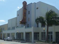 | Homestead Historic Downtown District | 0.1 miles | 2007 |
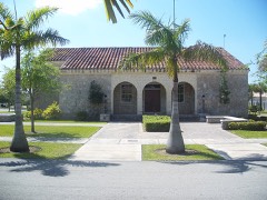 | Lily Lawrence Bow Library | 0.1 miles | 1996 |
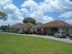 | Homestead Public School-Neva King Cooper School | 0.1 miles | 1985 |
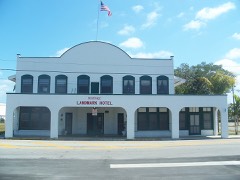 | Seminole Cafe and Hotel | 0.2 miles | 2008 |
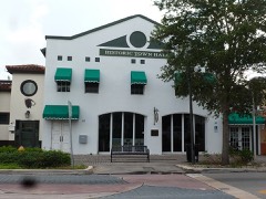 | Homestead Town Hall | 0.3 miles | 1997 |
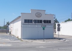 | Fuchs Bakery | 0.3 miles | 1996 |
| National Archives record | The nomination case file for reference 96001034 in Record Group 79. |
| Miami-Dade County | All 191 listed properties in this county. |