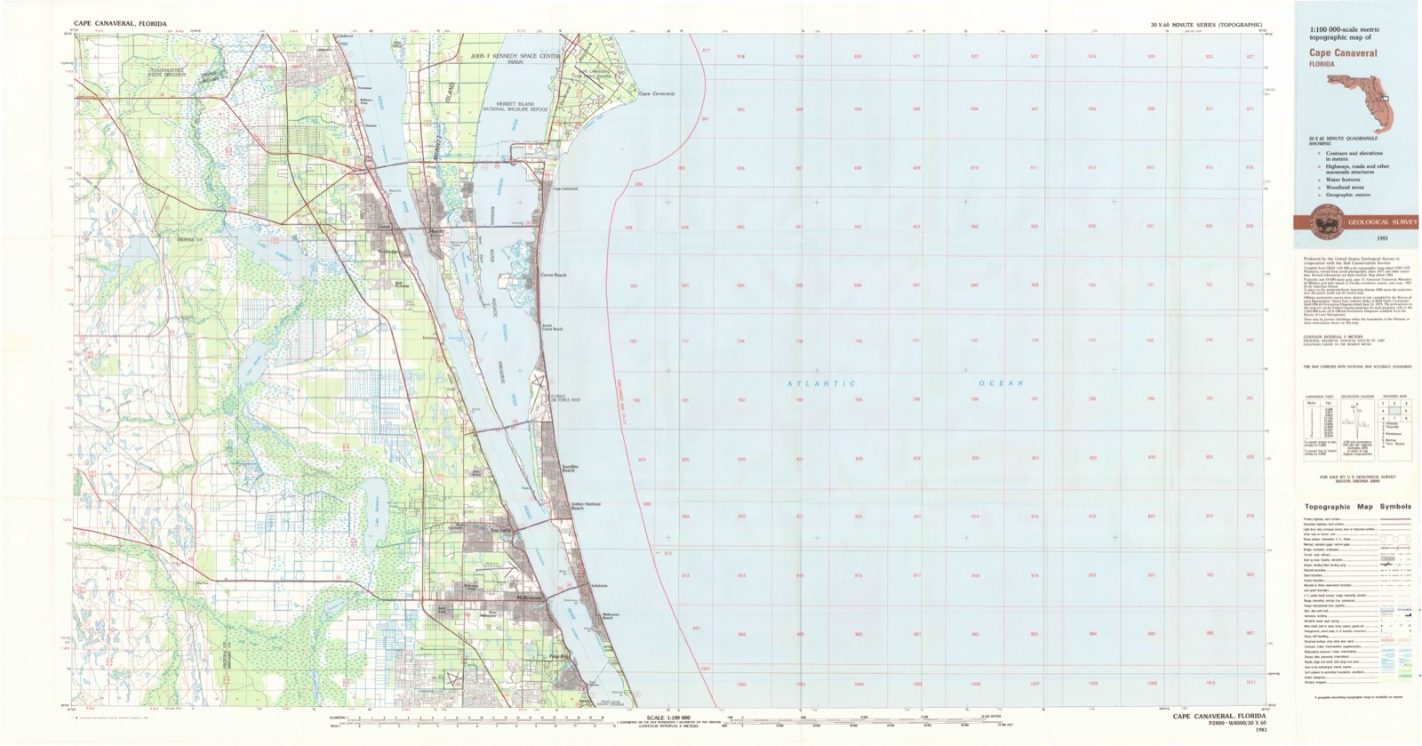
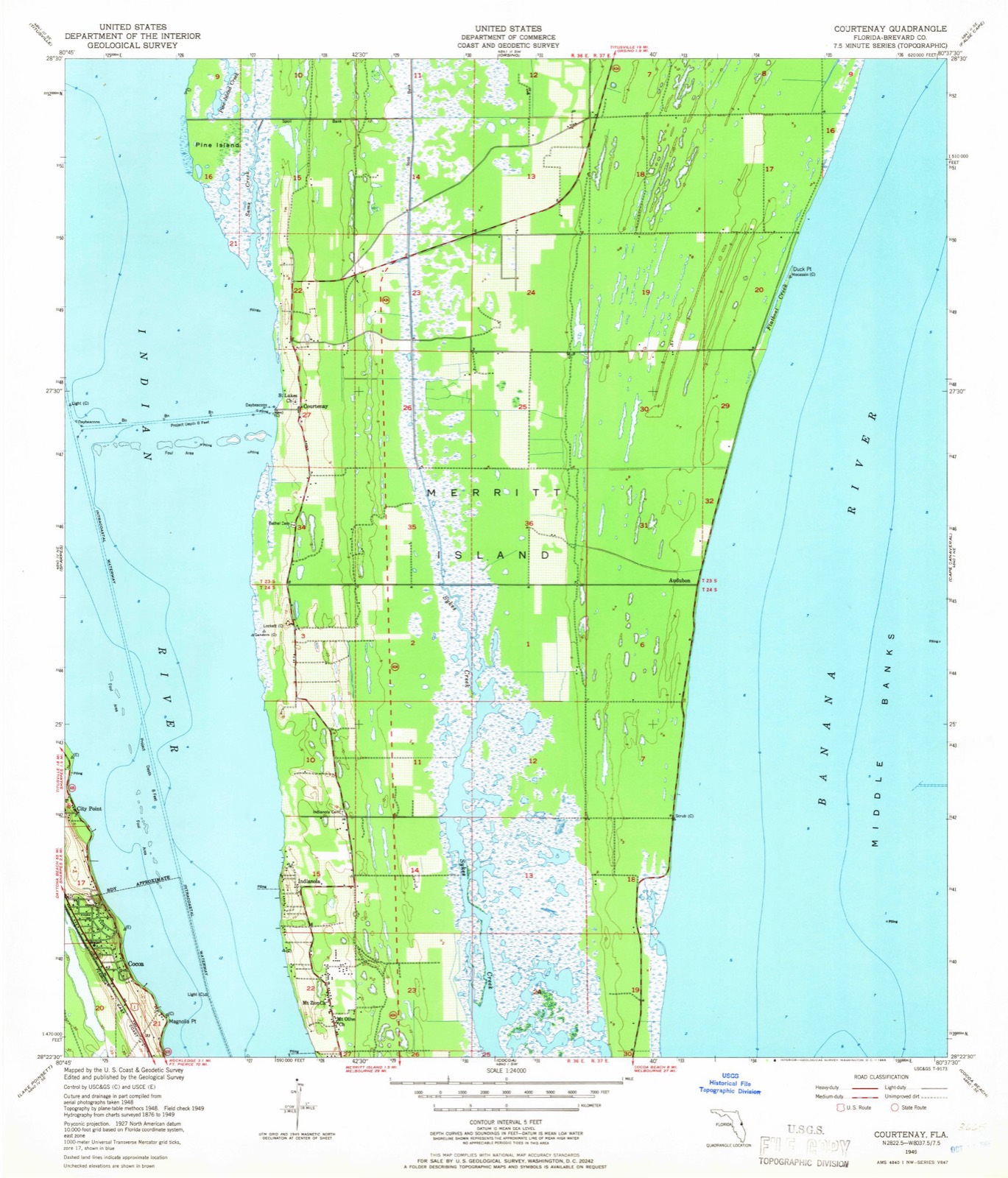
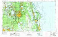
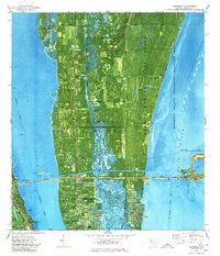
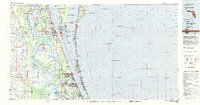
Listed on the National Register of Historic Places in 1997. 8 historic topographic surveys show this location, the earliest from 1949.
From the record
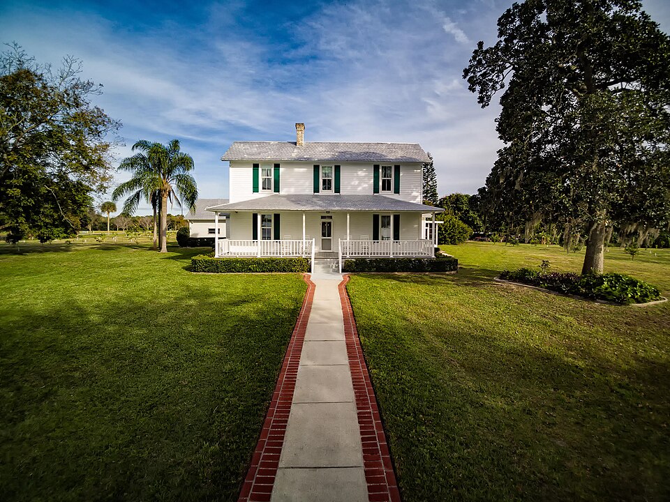
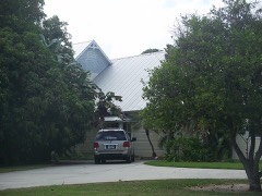
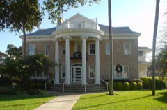
“Field Manor, located at 750 Field Manor Drive in Indianola on Merritt Island, Florida was added to the U.S. National Register of Historic Places on September 11, 1997, as the J.R.”
Wikipedia article J. R. Field Homestead, CC BY-SA 4.0.
One of 41 National Register listings published here for Brevard County · listed in 1997 · category: Building.
National Register reference number.97001121- the number the National Park Service assigned this property when it was listed, and the key its nomination file is catalogued under at the National Archives.
Then and now
1949 to 1981
The ground this property stands on, surveyed
32 years apart. Drag the handle to wipe between them. Both sheets are
United States Geological Survey originals; neither has been altered.
19491981
Fires near this property
199 since 1992
Regional context, not property-specific
evidence. The
federal wildfire occurrence database
lists 199 fires within 5 miles of J.R. Field Homestead
between 1992 and 2020, burning about 1,730 acres in total. 57 started naturally. 42 were recorded as arson.
Distance is straight-line from the map coordinates, so a fire counted
here may appear on a neighbouring settlement's page as well.
Reported cause
Fires
Natural
57
Arson/incendiarism
42
Missing data/not specified/undetermined
28
Equipment and vehicle use
19
Recreation and ceremony
17
Railroad operations and maintenance
16
Misuse of fire by a minor
12
Power generation/transmission/distribution
3
Debris and open burning
2
Fireworks
2
Other causes
1
The most recent of
them, most recent first, with the day each was reported and the service
that recorded it.
Regional context, not property-specific
evidence. The federal mineral resources record lists
1 working within 5 miles of J.R. Field Homestead: 1 past producer.
None of them still produces. What was taken out: Stone, Crushed/Broken. Distance is straight-line from the
map coordinates, so a quarry counted here may appear on a neighbouring
settlement's page as well.
Regional context, not property-specific
evidence. The National Weather Service names
Indianola, the town this property stands in, in 17 storm reports between 2008 and 2025: 9 hail, 3 thunderstorm wind, 2 heavy rain, 2 tornado.
The reports record 3 injuries. Each account below is quoted exactly as the forecast office
filed it, from the NOAA Storm Events Database, and each date
opens the federal record of that event.
Local broadcast media reported that three teenage girls, aged 15, 14, and 12, were struck by lightning as they were walking outdoors near the 1400th block of Via Salerno Court on Merritt Island. Neighbors noticed the three teens on the ground after the lightning strike and called 911. One teen was knocked down by the strike, but was otherwise unharmed. One of the teens was unresponsive, and the unharmed teen administered CPR until first responders arrived. One injured teen was taken to Cape Canaveral Hospital and later released, while the other teen who suffered significant injuries was air lifted to and hospitalized at Orlando Health Arnold Palmer Hospital for Children.
Wind gusts associated with a line of strong to severe thunderstorms blew across a series of small ponds in Cocoa and caused minor damage to a few mobile homes. Aluminum siding was blown downstream and partially wrapped around a telephone pole. Winds were estimated near 60 mph.
A NWS storm survey confirmed that a tornado formed on North Merritt Island within or southeast of The Savannahs subdivision, producing strong EF-1 damage (winds estimated 100-110 mph) to numerous homes on Savannahs Trail. Over a dozen homes sustained significant shingle damage and approximately six pool screen enclosures were destroyed. Numerous trees were snapped. The tornado continued northwest and crossed East Hall Road near Leilani Lane, producing tree and minor roof damage to a few homes. The tornado then traveled through the southern portion of the Island Lakes Mobile Home Park at EF-1 strength (estimated winds of 95 to 105 mph) and impacted over 25 mobile homes. Several mobile homes were destroyed and many others sustained moderate to major damage (the neighborhood was nearly completed evacuated for Hurricane Irma). The tornado then weakened, but toppled the steeple at the Orsino Baptist Church, after crossing North Courtney Boulevard. Tree damage and minor roof damage occurred along the remainder of the path until the Indian River was reached. DI2, DOD4, EXP; DI3, DOD6, LB-EXP; DI24, DOD4, LB.
A trained spotter relayed a ham radio report of nickel sized hail at intersection of State Road 3 and State Road 528 in Merritt Island. The small hail lasted for about 5 minutes.
Thunderstorm wind gusts estimated near 60 mph produced damage to portions of the Merritt Island High School sport complex. The baseball field dugout was blown over and a portion of the football locker room awning was detached from the roof. A tennis court fence and baseball field center fence were also damaged.
An EF0 tornado with winds estimated between 70 and 80 mph touched down near the Intersection of U.S. 1 and Dixon Boulevard in Cocoa and travelled northeast to the Indian River where it became a waterspout. The tornado produced minor damage to the roofs and outbuilding of several businesses along U.S. 1, with power lines also downed. Numerous trees were downed along Dixon Boulevard and Indian River Drive. DI27; DOD2; EXP, DI8; DOD2; EXP.
United States Geological Survey topographic
sheets whose coverage includes this point. Matched by taking the middle of the area the National Park Service maps for this listing, then
testing that coordinate against the published boundary of every sheet.
Other National Register properties close
enough to walk or drive between, ordered by distance from this one. Both
positions come from the same geocoding pass that matched these properties
to their map sheets.
Listing record. National Park Service National Register of Historic Places, listed-properties dataset, current to 2026-05-22.
Map join. Address geocoded through the United States Census geocoder, then tested against the published boundary of every sheet in the USGS Historical Topographic Map Collection.
How this page is made. Listing fields come from federal records; map-sheet coverage is a labelled coordinate-to-boundary calculation, not a source-field claim.
Wildfire. Short, Karen C. 2022. Spatial wildfire occurrence data for the United States, 1992-2020 [FPA_FOD_20221014]. 6th Edition. Fort Collins, CO: Forest Service Research Data Archive. https://doi.org/10.2737/RDS-2013-0009.6 Collected with United States Government funding and usable without additional permissions or fees.
Mines and quarries. USGS Mineral Resources Data System (MRDS) https://mrdata.usgs.gov/mrds/ A work of the United States government, no copyright under 17 U.S.C. 105.
Storms. NOAA National Centers for Environmental Information, Storm Events Database https://www.ncei.noaa.gov/stormevents/ A work of the United States government, no copyright under 17 U.S.C. 105. Narratives are quoted verbatim from the National Weather Service report and are not edited or summarised.
 Block
Block