BlockBefore
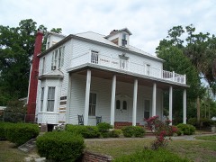
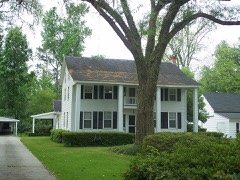
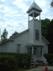
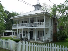
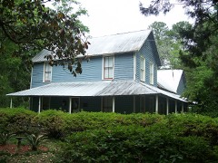
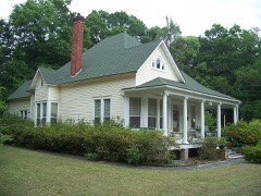
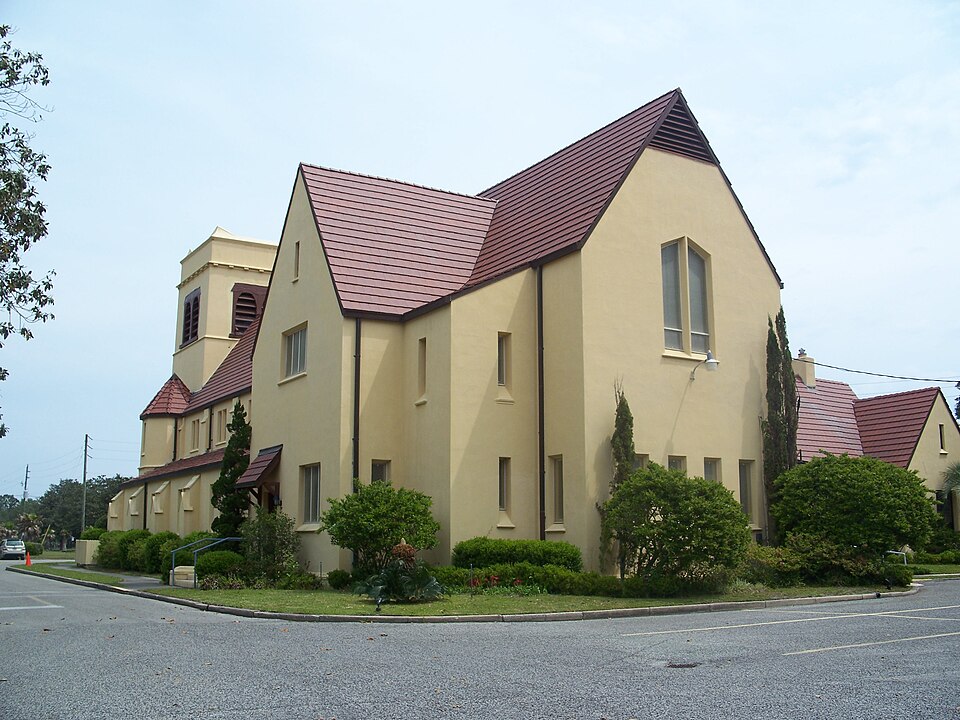
Photograph of Memorial Home Community Historic District
Photograph by Ebyabe, CC BY-SA 3.0. Via Wikimedia Commons.

Memorial Home Community Historic District

Listed on the National Register of Historic Places in 1999. 8 historic topographic surveys show this location, the earliest from 1942.

From the record

“The Memorial Home Community Historic District is a U.S. historic district located in Penney Farms, Florida. The district is bounded by SR 16, Caroline Boulevard, Wilbanks Avenue, and Studio Road.”

Wikipedia article Memorial Home Community Historic District, CC BY-SA 4.0.

One of 22 National Register listings published here for Clay County · listed in 1999 · category: District.

Sources: the Wikipedia article · the case file at the National Archives · the National Register database, National Park Service

The listing

Then and now

1942 to 1993

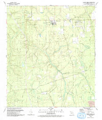
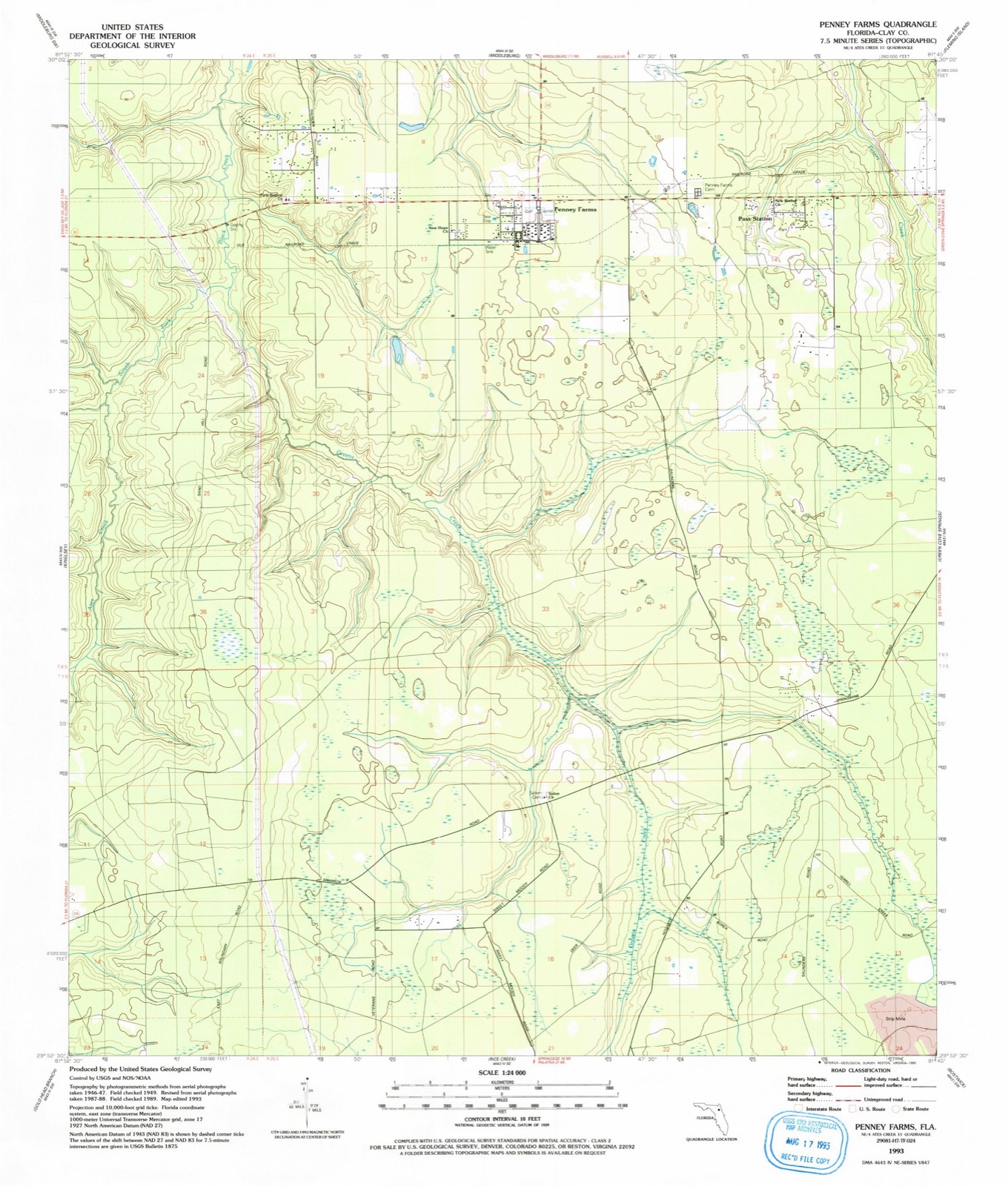
The ground this property stands on, surveyed 51 years apart. Drag the handle to wipe between them. Both sheets are United States Geological Survey originals; neither has been altered.

Topographic sheet covering Memorial Home Community Historic District, surveyed 1993
Topographic sheet covering Memorial Home Community Historic District, surveyed 1942

Fires near this property

163 since 1992

Regional context, not property-specific evidence. The federal wildfire occurrence database lists 163 fires within 5 miles of Memorial Home Community Historic District between 1992 and 2020, burning about 1,588 acres in total. 68 started naturally. 15 were recorded as arson. Distance is straight-line from the map coordinates, so a fire counted here may appear on a neighbouring settlement's page as well.

Reported cause Fires
Natural68
Railroad operations and maintenance31
Debris and open burning23
Arson/incendiarism15
Missing data/not specified/undetermined9
Misuse of fire by a minor8
Equipment and vehicle use5
Power generation/transmission/distribution3
Smoking1

The most recent of them, most recent first, with the day each was reported and the service that recorded it.

DateCause SizeReported by Name on the report
6 September 1999Natural24 acresFlorida Forest Servicenot named
3 September 1994Railroad operations and maintenanceunder an acreFlorida Forest Servicenot named
23 September 2000Railroad operations and maintenance1.0 acresFlorida Forest Servicenot named
21 September 2011Arson/incendiarismunder an acreFlorida Forest ServiceGARY RD (10)
11 September 2013Natural3.4 acresFlorida Forest ServicePASS (10)
10 September 1999Naturalunder an acreFlorida Forest Servicenot named
7 August 2006Natural6.0 acresFlorida Forest Service835
3 August 1994Natural1.0 acresFlorida Forest Servicenot named

Every fire recorded in Clay County

Mines and quarries near this property

2 within 5 miles

Regional context, not property-specific evidence. The federal mineral resources record lists 2 workings within 5 miles of Memorial Home Community Historic District: 1 producer, 1 occurrence. 1 still produces. What was taken out: Titanium-Heavy Minerals, Clay. Distance is straight-line from the map coordinates, so a quarry counted here may appear on a neighbouring settlement's page as well.

Where SiteCommodity StatusRecorded
Hole No 24 Clay ProspectClayOccurrence
Rgc (Usa) Mineral Sands - Green Cove Sprg.Titanium-Heavy MineralsProducerIlmenite, Leucoxene, Rutile, Zircon, Kyanite

Every working recorded in Clay County

Storms near this property

17 since 1998

Regional context, not property-specific evidence. The National Weather Service names Penney Farms, the town this property stands in, in 17 storm reports between 1998 and 2026: 7 thunderstorm wind, 5 hail, 3 heavy rain, 2 flood. No death or injury is recorded in these reports. Each account below is quoted exactly as the forecast office filed it, from the NOAA Storm Events Database, and each date opens the federal record of that event.

WhenEvent Place namedHarm What the report says
May 2013FloodPenney Farms$20,000There were several roads in Penny Farms closed due to standing flood waters due to heavy rainfall. Water was up to the bottom of the bridge on Everett Avenue at Dillaberry Branch which runs into Black Creek. Also. the water was spilling over North Dolphin Avenue. Creeks were coming out of their banks and additional flooding occurred in the Foxmeadow subdivision. A spotter measured a 24 hr rainfall total in Foxmeadow of 4.26 inches. The cost of damage from flooding was estimated only so the event could be included in Storm Data. The value is likely a gross underestimate.
March 2026Thunderstorm WindPenney Farms$3,000Three large oak trees uprooted along Cathedral Oak Parkway and fell in the same direction. This was likely due to a downburst. Time was based on AW016 MIDDLEBURG measuring a peak gust of 43 mph at 150 PM EST.
July 1998Thunderstorm WindPenney Farms$1,500Large trees and power lines were blown down.
May 2025Thunderstorm WindPenney Farms-A trained spotter reported powerlines down to the south of Lake Asbury. Time of event | based on radar data.
August 2025Heavy RainPenney Farms-Personal weather station KFLGREEN210 measured 2.27 inches of rain in about one hour.
December 2023FloodPenney Farms-Severe flooding was reported in the construction area along County Road 218 near Shadowlawn Elementary School.
August 2019Heavy RainPenney Farms-A weather station measured 5 inches of rainfall in 2 hours.
September 2013Thunderstorm WindPenney Farms-County dispatch reported several tree limbs down and power lines damaged due to thunderstorm winds. A couple of trees were also blown over the roadways in the Lake Asbury area. The time of damage was based on radar imagery.
September 2013Thunderstorm WindPenney Farms-Winds were estimated at 60 mph in Penny Farms with a lot of tree debris caused by thunderstorm winds.
March 2013HailPenney Farms-Quarter size hail was reported near Camp Blanding.
August 2012HailPenney Farms-The Green Cove Springs Post Office observed nickel size hail near State Road 16 and County Road 218.
May 2011HailPenney Farms-Quarter size hail was reported at a Boy Scout Camp off of State Road 16.
January 2010Thunderstorm WindPenney Farms-Trees were blown down in Penny Farms.
May 2009HailPenney Farms-A trained spotter reported nickel size hail at the intersection of County Road 215 and State Road 21.
July 2008Heavy RainPenney Farms-The Penny Farms Auto Repair Shop measured 5.0 inches of storm total rainfall.
July 2008Thunderstorm WindPenney Farms-The Penny Farms Auto Repair Shop employees reported several trees were blown down in the Penny Farms Community. Pea size hail was also observed.
March 2003HailPenney Farms-no account filed

Every storm recorded in Clay County

Maps showing this location

8 surveys

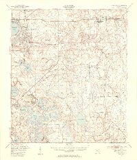
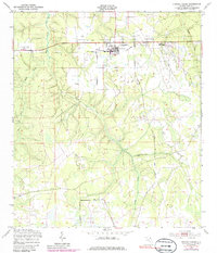
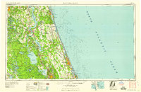
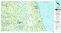
United States Geological Survey topographic sheets whose coverage includes this point. Matched by taking the middle of the area the National Park Service maps for this listing, then testing that coordinate against the published boundary of every sheet.

Listed places nearby

6 within 8 miles

Other National Register properties close enough to walk or drive between, ordered by distance from this one. Both positions come from the same geocoding pass that matched these properties to their map sheets.

Photograph PropertyDistance Listed
George A. Chalker House6.7 miles1990
Clark-Chalker House6.8 miles1988
Methodist Episcopal Church at Black Creek6.8 miles1990
Middleburg Historic District6.8 miles1990
Haskell-Long House6.8 miles1990
Frosard W. Budington House6.8 miles1990

Sources for this property

National Archives recordThe nomination case file for reference 99000047 in Record Group 79.
Wikipedia articleCommunity-written account of this property, licensed CC BY-SA.
Clay CountyAll 22 listed properties in this county.

Provenance

  • Listing record. National Park Service National Register of Historic Places, listed-properties dataset, current to 2026-05-22.
  • Map join. Address geocoded through the United States Census geocoder, then tested against the published boundary of every sheet in the USGS Historical Topographic Map Collection.
  • How this page is made. Listing fields come from federal records; map-sheet coverage is a labelled coordinate-to-boundary calculation, not a source-field claim.
  • Wildfire. Short, Karen C. 2022. Spatial wildfire occurrence data for the United States, 1992-2020 [FPA_FOD_20221014]. 6th Edition. Fort Collins, CO: Forest Service Research Data Archive. https://doi.org/10.2737/RDS-2013-0009.6 Collected with United States Government funding and usable without additional permissions or fees.
  • Mines and quarries. USGS Mineral Resources Data System (MRDS) https://mrdata.usgs.gov/mrds/ A work of the United States government, no copyright under 17 U.S.C. 105.
  • Storms. NOAA National Centers for Environmental Information, Storm Events Database https://www.ncei.noaa.gov/stormevents/ A work of the United States government, no copyright under 17 U.S.C. 105. Narratives are quoted verbatim from the National Weather Service report and are not edited or summarised.