 Block
From the record
5 National Register listings published here.
Sources: the National Register database, National Park Service
18 topographic sheets and 2 fire insurance atlases across 1 place.
5 National Register listings published here.
Sources: the National Register database, National Park Service
Every property in this county listed on the National Register of Historic Places, with the year it was listed and the federal nomination document.
| Photograph | Property | Type | Listed | Reference |
|---|---|---|---|---|
 | Appling County Courthouse | building | 1980 | 80000965 |
 | Bank of Surrency | building | 2003 | 02001742 |
 | Citizens Banking Company | building | 1985 | 85000932 |
 | C. W. Deen House | building | 1982 | 82002381 |
 | United States Post Office-Baxley, Georgia | building | 2000 | 00000755 |
Selected from the Digital Public Library of America's 1 image records catalogued for this county. Every one shown here carries a public-domain status or a licence that permits reuse on a site that carries advertising; non-commercial, share-alike and restricted images are excluded. The selection is spread across the county's towns (at most eight per town), so no single institution's bulk upload crowds out the rest. Each opens the holding library's record, and the complete set at the Digital Public Library of America is one click away.

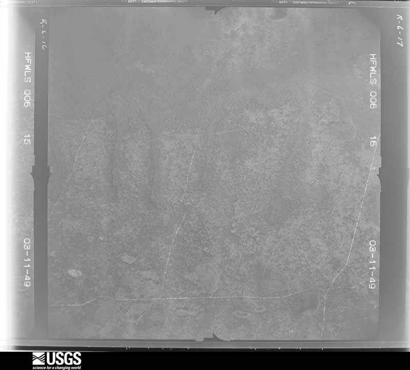
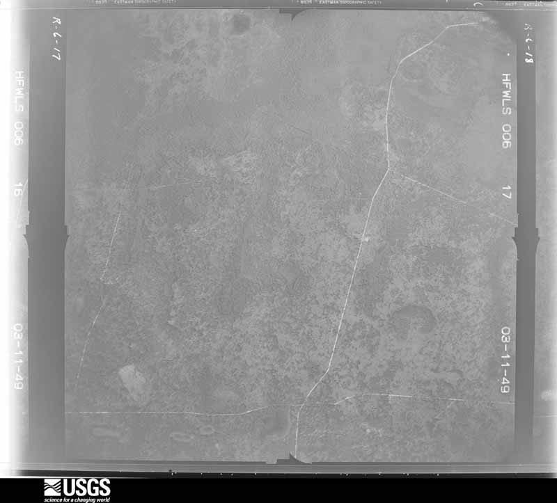
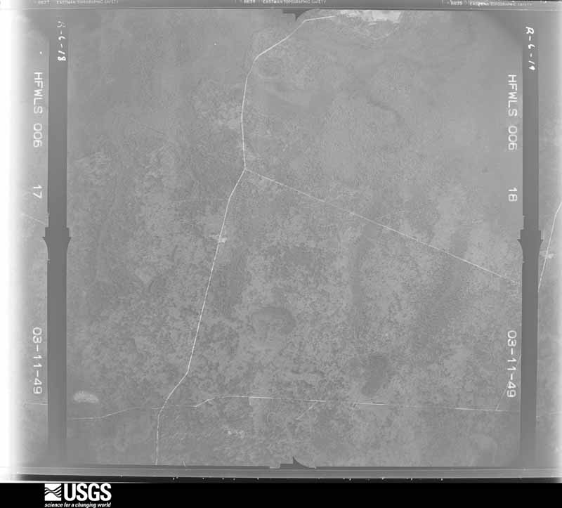
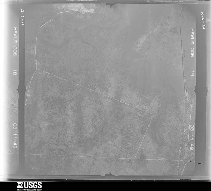
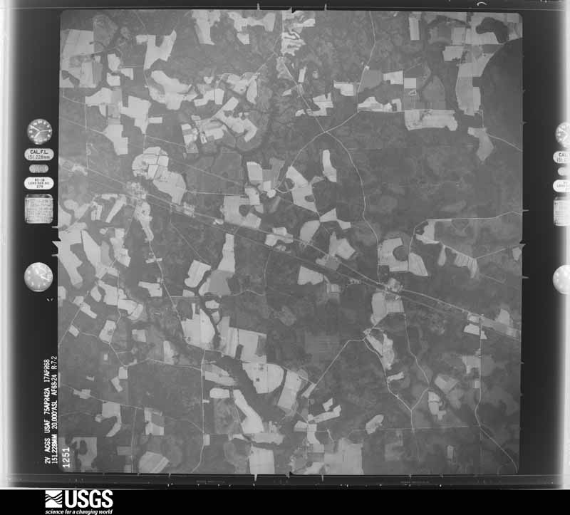
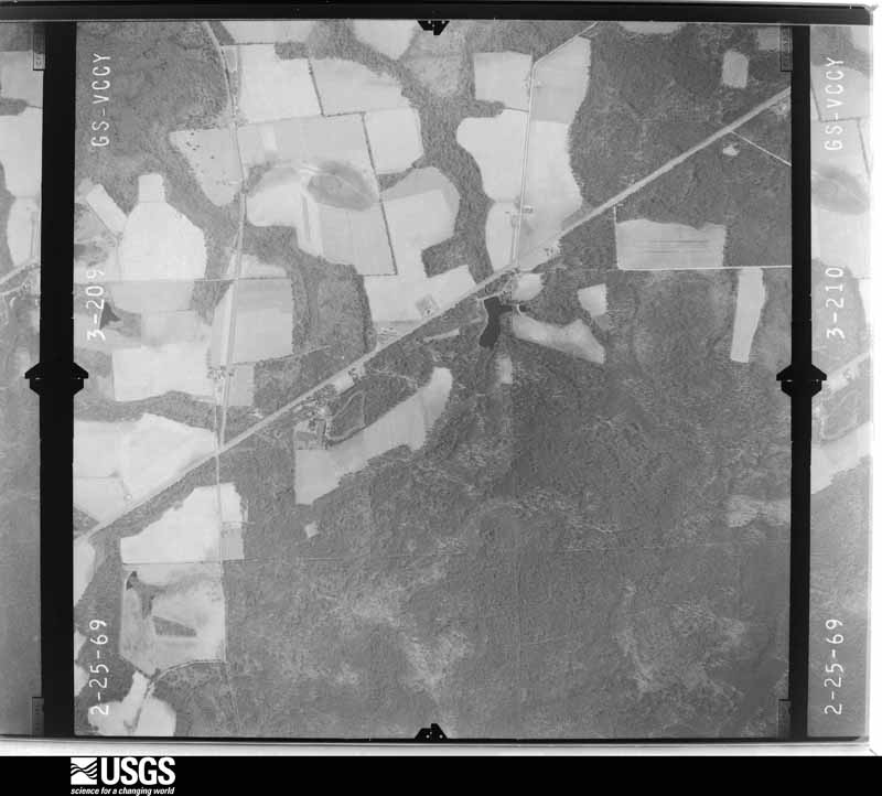
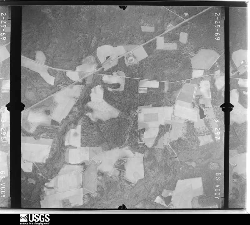
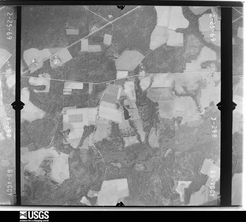
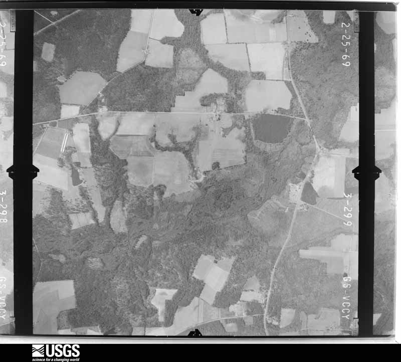
Flown by the U.S. Geological Survey between 1937 and 1989, the Aerial Photo Single Frames collection is the definitive mid-century view of the land: fields, roads and rivers as the camera saw them. The Survey holds 1,953 frames inside the rectangle that bounds this county; the 24 frames below were taken over the county itself, chosen across the decades of flights (at most four a year from that rectangle), so one flight cannot crowd out the rest. The full set is free to browse and download at EarthExplorer under the dataset Aerial Photo Single Frames.















The thermometers that kept this county's weather, and the gages that measured the flow of its streams, as the federal records hold them. The extremes below are measured values from those records, not estimates.
Who lived here in 1950, one enumeration district at a time, as the Census Bureau described each district. Each row opens its official National Archives result, with Population Schedules and ED Maps available there.
Every wildfire the federal occurrence database records inside this county: 2,016 of them, burning about 8,322 acres. 164 started naturally and 154 were recorded as arson. Each settlement page carries the fires within five miles of it.
| Reported cause | Fires |
|---|---|
| Debris and open burning | 1235 |
| Natural | 164 |
| Misuse of fire by a minor | 154 |
| Arson/incendiarism | 154 |
| Smoking | 110 |
| Missing data/not specified/undetermined | 88 |
| Recreation and ceremony | 56 |
| Equipment and vehicle use | 52 |
| Railroad operations and maintenance | 3 |
The five largest, by the area the report gives. Three of them were set deliberately.
| Date | Cause | Size | Reported by | Name on the report |
|---|---|---|---|---|
| 12 April 1999 | Arson/incendiarism | 1,022 acres | Georgia Forestry Commission | not named |
| 12 April 1999 | Arson/incendiarism | 456 acres | Georgia Forestry Commission | not named |
| 7 June 2011 | Natural | 200 acres | Georgia Forestry Commission | FY2011-APPLING-194 |
| 25 August 1993 | Debris and open burning | 117 acres | Georgia Forestry Commission | not named |
| 29 May 1999 | Arson/incendiarism | 112 acres | Georgia Forestry Commission | not named |
| 19 March 2004 | Debris and open burning | 110 acres | Georgia Forestry Commission | not named |
| 1 September 2011 | Debris and open burning | 102 acres | Georgia Forestry Commission | FY2012-APPLING-023 |
| 28 July 1998 | Natural | 100 acres | Georgia Forestry Commission | not named |
Every settlement page carries the fires within five miles of it - see the settlement index below.
The NOAA Storm Events Database holds 286 reports for this county, causing no deaths, 23 injuries and about $1,491,400 in recorded property damage. Each settlement page carries the reports that name it.
| Kind of event | Reports |
|---|---|
| Thunderstorm Wind | 183 |
| Hail | 50 |
| Heavy Rain | 18 |
| Tornado | 17 |
| Flood | 7 |
| Flash Flood | 6 |
| Lightning | 2 |
| Funnel Cloud | 2 |
| Winter Storm | 1 |
The most serious of them, by death, then injury, then recorded damage. The accounts are quoted exactly as the forecast office filed them.
| When | Event | Place named | Harm | What the report says |
|---|---|---|---|---|
| June 1994 | Thunderstorm Wind | Baxley | 5 hurt, $50,000 | Thunderstorm winds overturned a trailer and seriously injured five people along Georgia Highway 15. Numerous trees and power lines were downed by thunderstorm winds. |
| June 2002 | Thunderstorm Wind | Baxley | 5 hurt | Thunderstorm winds blew unsecured camper top into the window of a resturant. Window was broken injuring patrons. |
| March 1986 | Tornado (F1) | not stated | 4 hurt, $250,000 | no account filed |
| November 2002 | Tornado (F0) | Baxley | 2 hurt, $200,000 | Along Ben Carter Road in Whispering Pines Mobile Home Park. Three mobile homes destroyed and four damaged. Two wood frame residential structures damaged. Pine trees snapped off and twisted. Numerous power lines down. |
| December 2009 | Tornado (EF2) | Surrency | 2 hurt | The tornado first touched down at approximately 1415EST in northwest Pierce County near Merson Road and Crump Road. It crossed the Big Satilla Creek, entering into Appling County at this point, and continued on a northeast track. The funnel may have briefly lifted off the ground at this point. The next significant damage occurred along Metts-Overstreet Road with the complete destruction of a singlewide mobile home and a farm shed at approximately 1425EST. Additionally, at this location, a brick cider block structure had one wall knocked over. The tornado then moved into a dairy just west of the intersection of State Road 15 and Wireglass Road. The event was rated as an EF-2 with winds of 135 mph at this location. Three metal building structures were destroyed with one removed from its foundation and blown into a pile of scrap metal. It is possible the funnel may have approached EF-3 at this particular location with winds of 140 to 150 mph; however, other damage to frame and masonry structures at the dairy suggested a lower wind value should be assigned to this area. One individual escaped injury by jumping into a depressed area inside one of the structures before it blew down around her. East of State Road 15, along Wireglass Road, extensive tree blow down and snapping continued in a tree farm. Once again the funnel likely lifted off the ground touching down again at 1430EST near 4230 Antioch Church Road destroying a doublewide mobile home. At this location, two middle aged individuals were in the bedroom, preparing for work, when the funnel destroyed the mobile home. Both escaped with only minor cuts despite the fact that the doublewide was completely obliterated and the frames bent. Once again at this location the winds were rated at 135 mph for a strong EF-2 rating. |
| September 1998 | Thunderstorm Wind | Baxley | 1 hurt, $65,000 | Mobile homes were blown off their foundations and siding was ripped from the sides of industrial buildings. Twelve mobile homes were damaged, and one with major damage, because a tree fell on it. One vehicle was damaged. Large trees and power lines were blown down. The damaged was associated with the remnants of Hurricane Georges. |
| March 1998 | Thunderstorm Wind | Baxley | 1 hurt, $55,000 | Three mobile homes destroyed. |
| February 2003 | Tornado (F0) | Baxley | 1 hurt, $50,000 | One mobile home flipped over with a minor injury. EMA reports twisted tops of pine trees in nearby woods. |
| December 2002 | Thunderstorm Wind | Countywide | 1 hurt, $50,000 | Numerous large trees down in town of Baxley. Mobile home on State Road 15 4 miles south of Baxley flipped with one injured. Edsel Lewis road, 6 miles south of Baxley, closed due to tree damage. |
| May 2016 | Thunderstorm Wind | Baxley Muni Arpt | 1 hurt | Two trees were blown down on Wilson Crapps Road and Ernest Kesler Road. One tree struck a female and she was sent to the ER with minor injuries. |
| April 1984 | Tornado (F1) | not stated | $250,000 | no account filed |
| April 1997 | Tornado (F0) | Baxley | $100,000 | Fifteen homes were damaged and several vehicles. |
| August 2002 | Thunderstorm Wind | Baxley | $60,000 | Estimated 40 to 50 mph winds rolled an empty mobile home over destroying it. Unknown is home had tie downs. |
| August 2002 | Lightning | Graham | $40,000 | Portion of City Hall roof blown off cause unknown suspected to have been lightning. |
| July 1987 | Tornado (F1) | not stated | $25,000 | no account filed |
| March 1972 | Tornado (F1) | not stated | $25,000 | no account filed |
| April 1955 | Tornado (F1) | not stated | $25,000 | no account filed |
| May 2010 | Thunderstorm Wind | Baxley Muni Arpt | $20,000 | Thunderstorm winds blew down numerous tress along Orvin Road and County Farm Road. The roof was blown off of a double wide mobile home which caused major damage to the structure. The cost of damage was estimated. |
| June 2001 | Thunderstorm Wind | Baxley | $15,000 | Trees blown down. One home damaged. |
| June 1998 | Thunderstorm Wind | Baxley | $15,000 | Animal Shelter damaged. Large trees were blown down. |
| March 2024 | Thunderstorm Wind | Baxley | $10,000 | A tree was blown down onto a mobile home at Davis Landing along the Altamaha River in Appling County. The time of damage was based on radar. The cost of damage was estimated for inclusion of the event in Storm Data. |
| September 1998 | Flash Flood | Countywide | $10,000 | Rainfall amounts of 5 to 7 inches from the remnants of Hurricane Georges caused the closing of numerous street and roads. |
| March 1998 | Flash Flood | Countywide | $10,000 | Numerous roads and streets were closed. |
| March 1996 | Thunderstorm Wind | Baxley | $6,000 | no account filed |
| April 2025 | Thunderstorm Wind | Baxley Muni Arpt | $5,000 | Damage to outhouses, trees and a portion of a house with aluminum siding was damaged. Outdoor sheds were rolled over and some aluminum roofing was peeled off. The cost of damage was unknown but estimated for including in Storm Data. |
| April 2020 | Thunderstorm Wind | Baxley Muni Arpt | $5,000 | A gustnado impacted Tomilson Street in Homerville where a shower and outflow boundary converged. The time of damage was based on radar. Homerville airport and the EMA office measured wind gusts of 20-25 mph when the outflow boundary moved through. Several residences along the street had tree damage, including one tree that fell down on an unoccupied home. The strength of winds was estimated. The cost of property damage was unknown but it was estimated for inclusion of the event in Storm Data. |
| June 2014 | Thunderstorm Wind | Surrency | $5,000 | Trees and power lines were blown down throughout the eastern part of the county. The cost of damage was estimated for the event to be included in StormData. |
| August 2013 | Flood | Baxley | $5,000 | Numerous secondary county roads remained covered by flood waters from recent heavy rainfall. Appling county schools were closed on Tuesday, 8/20, due to flood waters. The cost of damage was unknown, but it was estimated such that this flood event could be included in StormData. The estimate is likely grossly underestimated. |
| July 2002 | Thunderstorm Wind | Baxley | $5,000 | Large trees and power lines down across city. |
| June 2002 | Thunderstorm Wind | Surrency | $5,000 | 3 chicken houses damaged by winds. Large trees down. Widespread power outage. |
| August 2002 | Thunderstorm Wind | Baxley | $5,000 | Small trees down on power lines resulting in power outages lasting several hours. Debris blown into automobiles damaging some. |
| November 2002 | Thunderstorm Wind | Pine Grove | $5,000 | Several large trees down across highway 341. |
| June 1998 | Thunderstorm Wind | Baxley | $5,000 | Large trees and power lines were blown down. |
| June 1994 | Thunderstorm Wind | Baxley | $5,000 | Several large trees were downed on the north side of Baxley from thunderstorm winds. |
| June 1994 | Thunderstorm Wind | Baxley | $5,000 | Ten to fifteen homes received minor wind damage from thunder- storm winds in Baxley. Most damage of the damage was confined to missing shingles and shattered storm windows. A few small trees and several large limbs were also downed by the thunder- storm winds. |
| March 2000 | Thunderstorm Wind | Baxley | $4,500 | Large trees and power lines were blown down. Some minor home damage. |
| June 2001 | Thunderstorm Wind | Baxley | $3,500 | Large trees and power lines were blown down. |
| July 2001 | Thunderstorm Wind | Baxley | $3,500 | Large trees and power lines were blown down. |
| May 2000 | Thunderstorm Wind | Baxley | $3,500 | Large trees and power lines were blown down. |
| August 1999 | Thunderstorm Wind | Baxley | $3,500 | Large trees and power lines were blown down. |
| June 2000 | Thunderstorm Wind | Surrency | $3,000 | Large trees and power lines were blown down. |
| June 2000 | Thunderstorm Wind | Baxley | $3,000 | Large trees and power lines were blown down. |
| May 1998 | Thunderstorm Wind | Baxley | $3,000 | Large trees and power lines were blown down. |
| March 2000 | Thunderstorm Wind | Pine Grove | $2,500 | Large trees and power lines were blown down. Some minor roof damage. |
| June 2000 | Thunderstorm Wind | Baxley | $2,500 | Large trees and power lines were blown down. |
| July 1998 | Thunderstorm Wind | Baxley | $2,500 | Large trees and power lines were blown down. |
| October 1997 | Thunderstorm Wind | Surrency | $2,500 | Large trees and power lines were blown down. Two moble homes were damaged. |
| July 1996 | Thunderstorm Wind | Surrency | $2,500 | no account filed |
| April 1968 | Tornado (F0) | not stated | $2,500 | no account filed |
| April 1961 | Tornado (F2) | not stated | $2,500 | no account filed |
| August 1954 | Tornado (F1) | not stated | $2,500 | no account filed |
| July 2021 | Thunderstorm Wind | Elliot | $2,000 | Trees and power lines were blown down near Jekyll Road and Poor Robin Road. The cost of damage was unknown, but it was estimated for inclusion of the event in Storm Data. |
| June 2019 | Thunderstorm Wind | Surrency | $2,000 | Several trees were blown down with a few small shelters damaged. The cost of damage was unknown but it was estimated so the event could be included in Storm Data. |
| June 2016 | Thunderstorm Wind | Prentiss | $2,000 | Trees and power lines were blown down near Plant Hatch. The cost of damage was unknown but it was estimated so the event could be reported in Storm Data. The time of damage was based on radar. |
| July 2016 | Thunderstorm Wind | Surrency | $2,000 | Several trees were blown down in the southern portion of the county including at Jeffery Turner Road, Homesville Road and Highlands Road. The Baxley weather observation only had a gust to 30 mph as the storm moved across the site. The cost of damage was unknown but estimated for the data to be included in Storm Data. |
| July 2015 | Thunderstorm Wind | Surrency | $2,000 | Trees and power lines were blown down across SE Appling county near the Intersection of Georgia Highway 15 as far south as Georgia 203. The cost of damage was unknown, but it was estimated for Storm Data. |
| April 2015 | Flood | Baxley | $2,000 | Areas of Appling county NE of Baxley were closed due to heavy flooding rainfall. Highway 144 NE of Baxley was impassable due to flood waters. Georgia Route 144 at Ellis Road had about 1 mile of water covering the road. The cost of property damaged was estimated for the event to be included in Storm Data. This values is likely an under estimate. |
| August 2013 | Flood | Baxley | $2,000 | Appling county had several roads flooded and closed due to days of bands of heavy rainfall. The cost of road damage was unknown and estimated. |
| December 2012 | Thunderstorm Wind | Baxley | $2,000 | Trees were blown down along State Road 15 and U.S. Highway 1 near Baxley. The time of the event was based on radar. The cost of damage was estimated for inclusion in Storm Data and could be inaccurate. |
| December 2012 | Thunderstorm Wind | Baxley Muni Arpt | $2,000 | A tree was blown down on a home near Bud Miles Road and J.R. Harper Road. The time of damage was based on radar, and the cost of damage was estimated for inclusion in StormData. The cost of damage is likely inaccurate. |
Named settlements recorded in the Geographic Names Information System, each with the topographic sheets covering it. Villages, hamlets and abandoned places alike. Each is shown with the nearest named watercourse or landform and the survey quadrangle it falls on. The 1 place that was also surveyed for fire insurance comes first, with the number of atlases and photographs held for them.
Baxley census division · 31513 · Baxley quadrangle
8 sheets, 1953 to 1988
Fire insurance: 2 atlases
Altamaha River census division · 31513 · By Iron Mine Bluff · Altamaha quadrangle
7 sheets, 1953 to 1988
Altamaha River census division · 31513 · By Piney Bluff · Baxley NE quadrangle
8 sheets, 1953 to 1988
Big Satilla Creek census division · 31539 · Hazlehurst South quadrangle
8 sheets, 1953 to 1988
Big Satilla Creek census division · 31513 · Hazlehurst South quadrangle
8 sheets, 1953 to 1988
No longer a settlement
Baxley census division · 31513 · On Black Water Creek · Alma NE quadrangle
7 sheets, 1953 to 1988
The vanished settlements of Appling County: the places named above that are no longer on the map.