 Block
From the record
2 National Register listings published here.
Sources: the National Register database, National Park Service
20 topographic sheets cover 10 settlements here, and 2 properties are on the National Register of Historic Places.
2 National Register listings published here.
Sources: the National Register database, National Park Service
Taken for the Office of War Information and the Farm Security Administration, who photographed the country between 1935 and 1944. Works of United States government photographers, with no known restriction on use. Each opens its catalogue record.
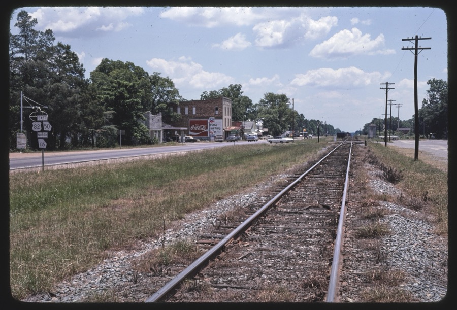




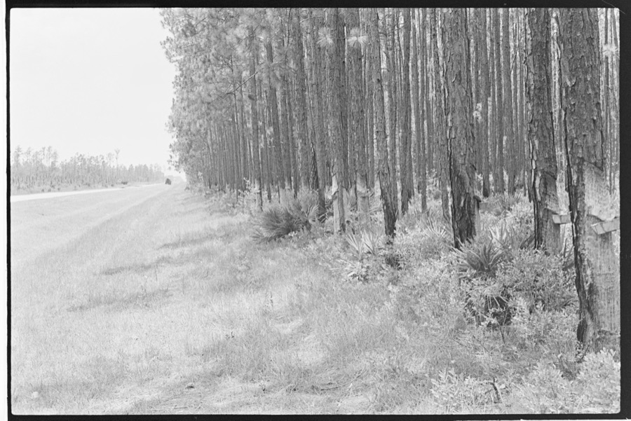
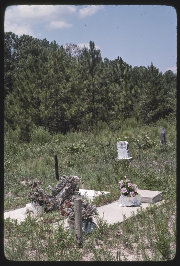
Every property in this county listed on the National Register of Historic Places, with the year it was listed and the federal nomination document.
| Photograph | Property | Type | Listed | Reference |
|---|---|---|---|---|
 | Atkinson County Courthouse | building | 1980 | 80000966 |
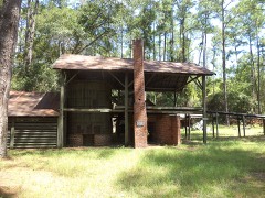 | McCranie's Turpentine Still | building | 1976 | 76000608 |
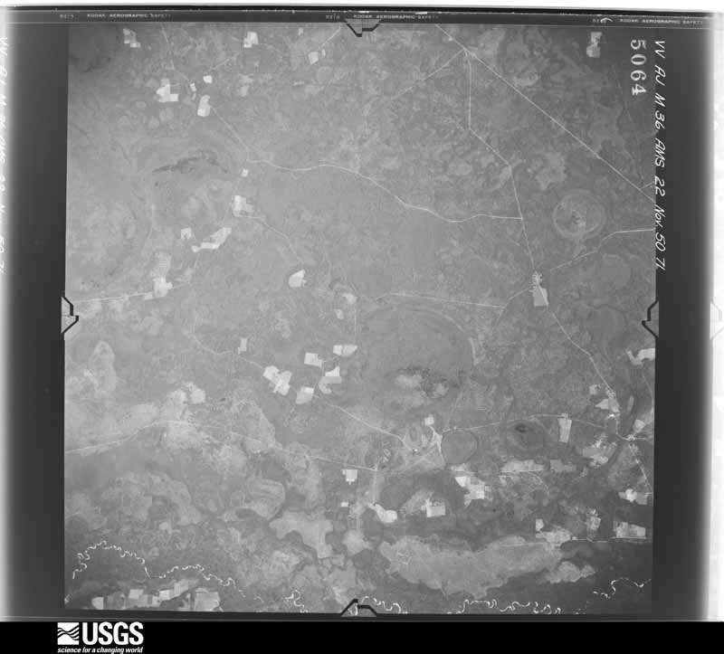
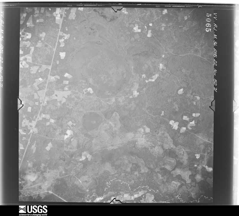
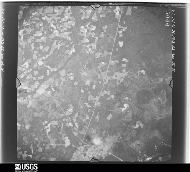
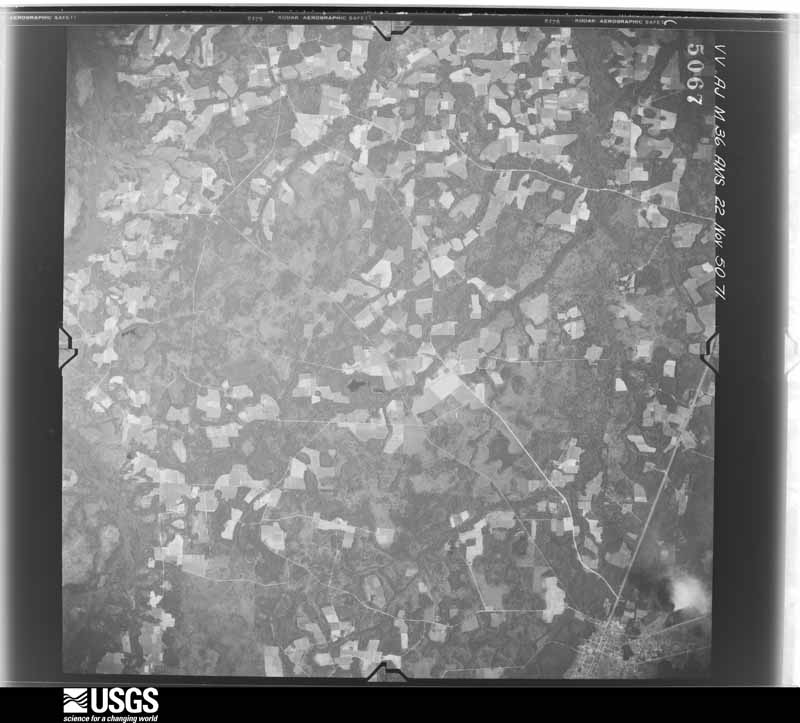
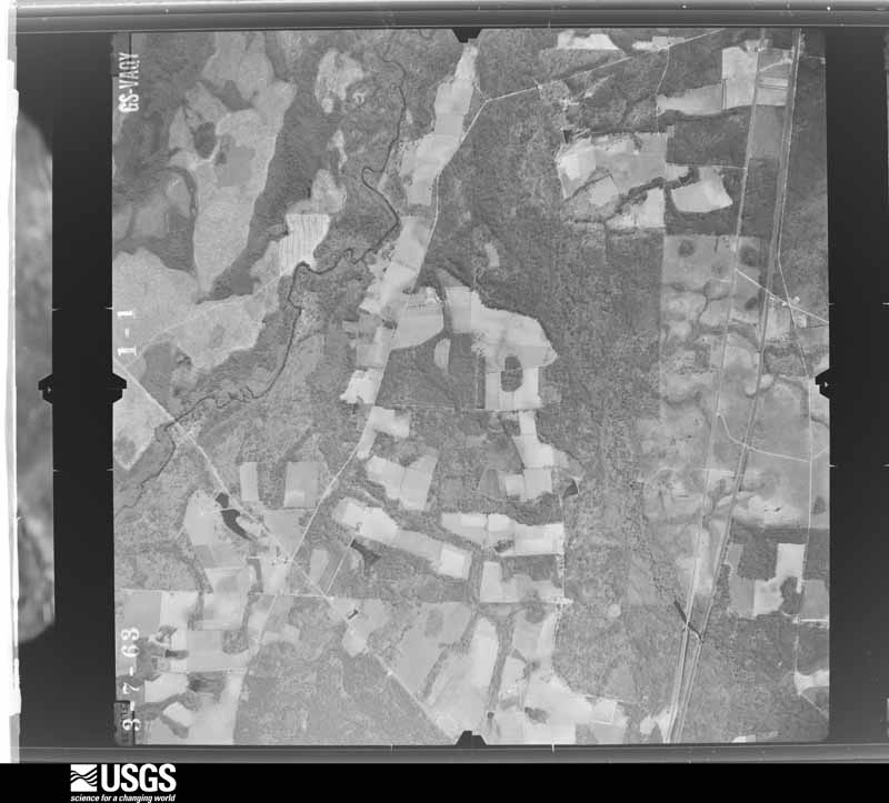
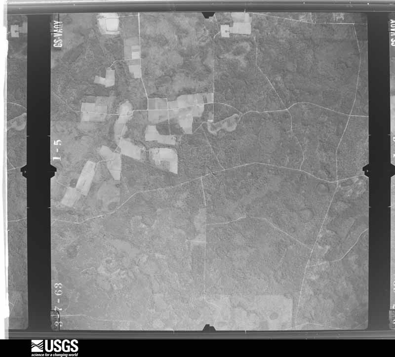
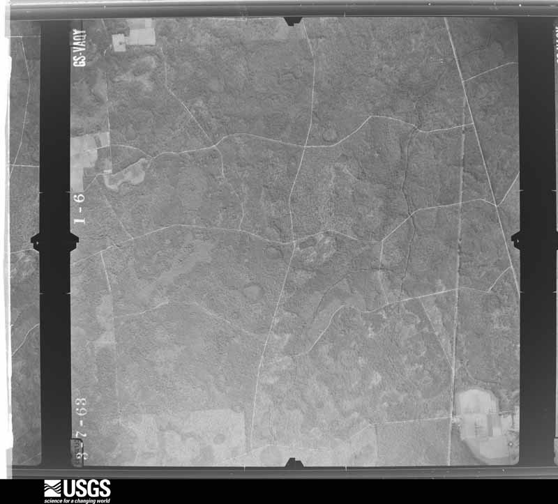
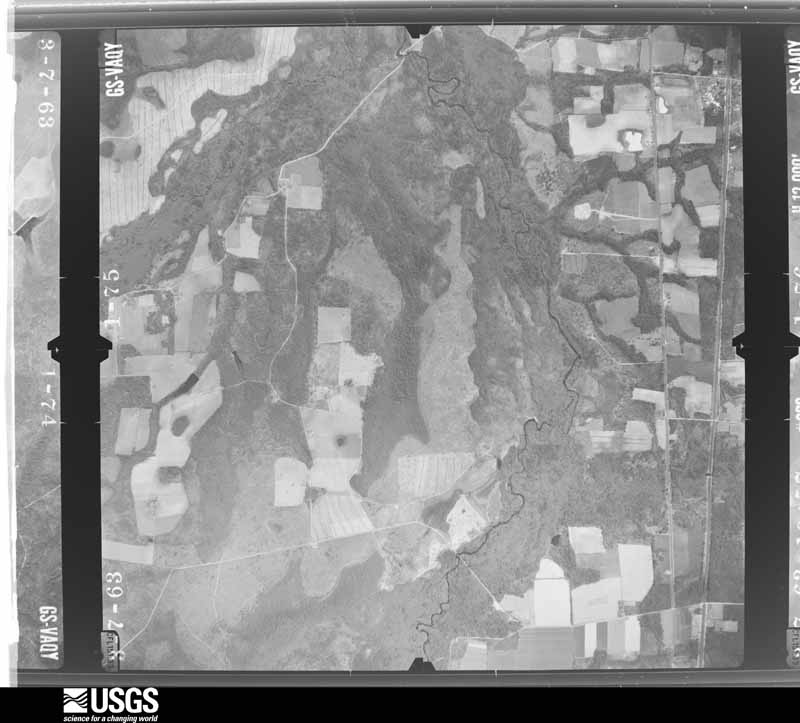
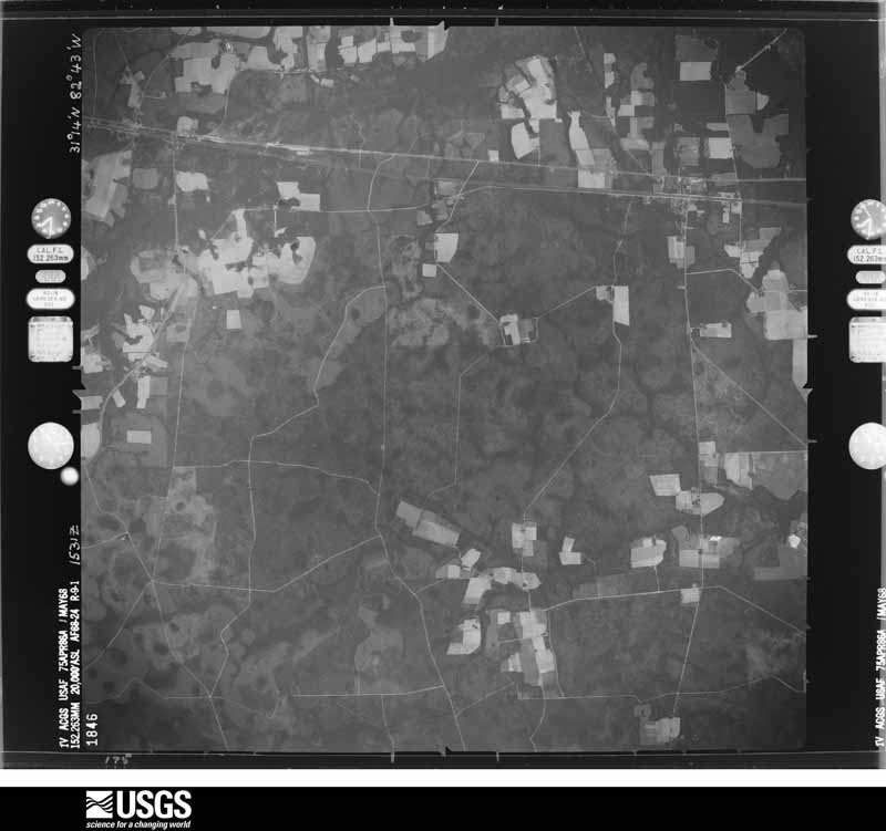
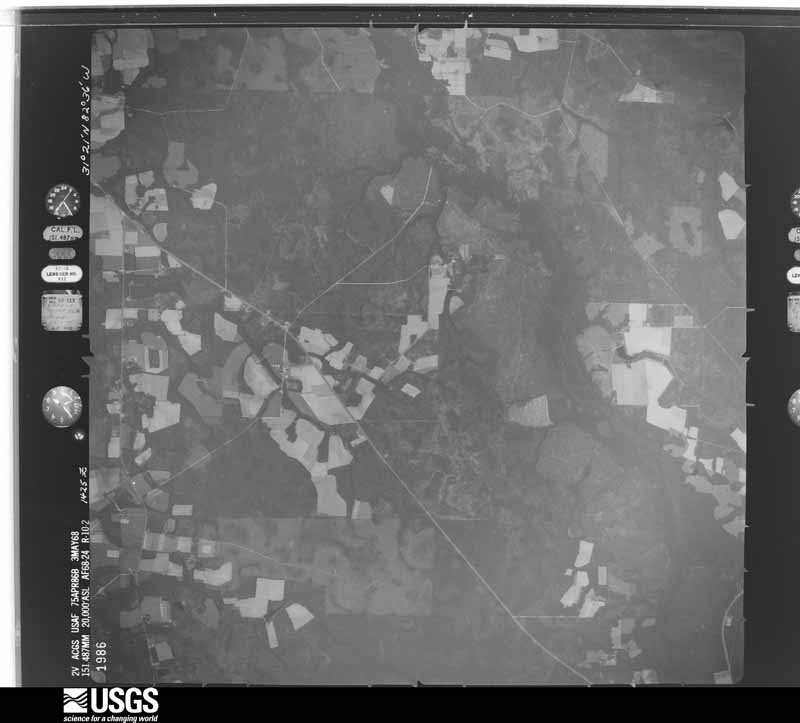
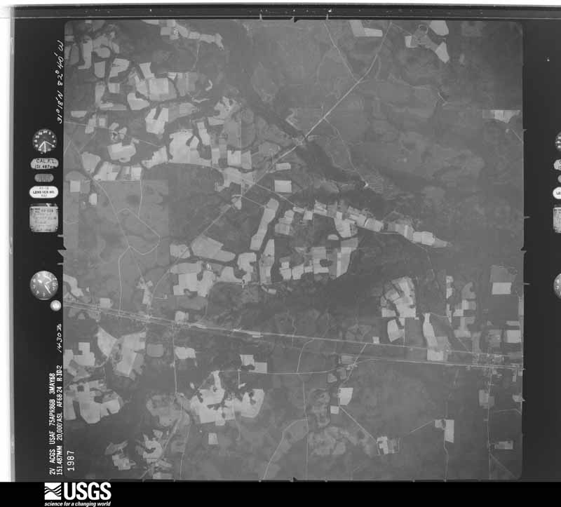
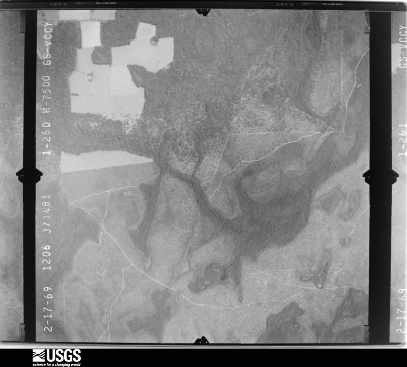
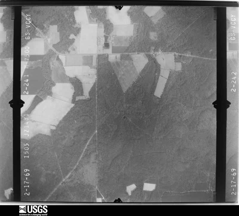
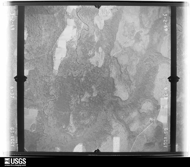
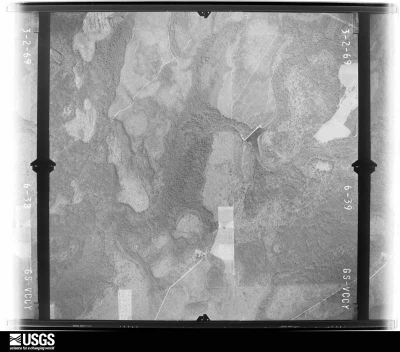
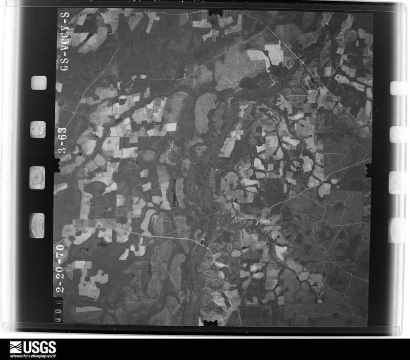
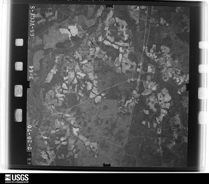
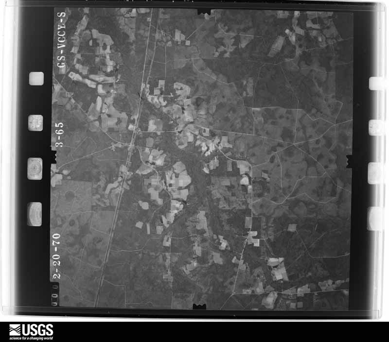
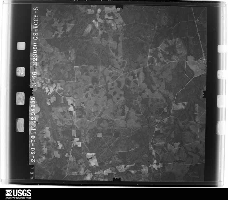
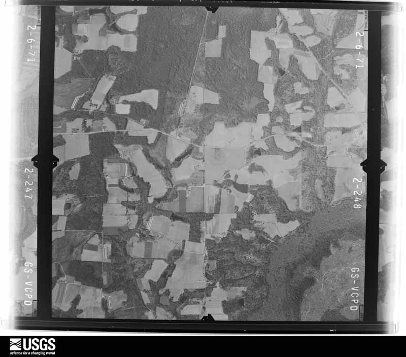
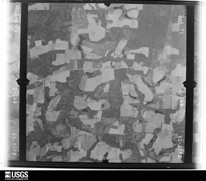
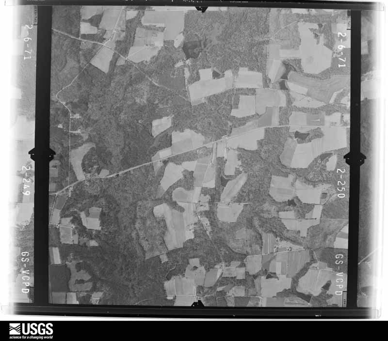
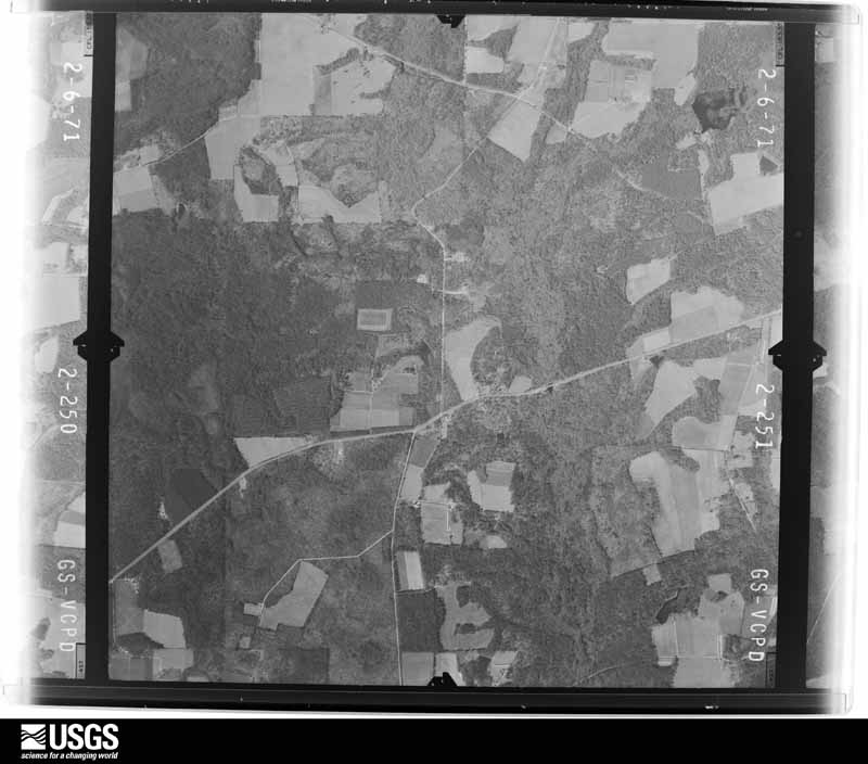
Flown by the U.S. Geological Survey between 1937 and 1989, the Aerial Photo Single Frames collection is the definitive mid-century view of the land: fields, roads and rivers as the camera saw them. The Survey holds 605 frames inside the rectangle that bounds this county; the 26 frames below were taken over the county itself, chosen across the decades of flights (at most four a year from that rectangle), so one flight cannot crowd out the rest. The full set is free to browse and download at EarthExplorer under the dataset Aerial Photo Single Frames.



The thermometers that kept this county's weather, as the federal records hold them. The extremes below are measured values from those records, not estimates.
Who lived here in 1950, one enumeration district at a time, as the Census Bureau described each district. Each row opens its official National Archives result, with Population Schedules and ED Maps available there.
Every wildfire the federal occurrence database records inside this county: 1,367 of them, burning about 11,927 acres. 104 started naturally and 100 were recorded as arson. Each settlement page carries the fires within five miles of it.
| Reported cause | Fires |
|---|---|
| Debris and open burning | 878 |
| Equipment and vehicle use | 135 |
| Natural | 104 |
| Arson/incendiarism | 100 |
| Missing data/not specified/undetermined | 74 |
| Misuse of fire by a minor | 26 |
| Smoking | 24 |
| Recreation and ceremony | 23 |
| Railroad operations and maintenance | 3 |
The five largest, by the area the report gives. One of them was set deliberately.
| Date | Cause | Size | Reported by | Name on the report |
|---|---|---|---|---|
| 27 April 2007 | Arson/incendiarism | 5,780 acres | Georgia Forestry Commission | ROUNDABOUT SWAMP FIRE |
| 11 February 1996 | Debris and open burning | 1,908 acres | Georgia Forestry Commission | not named |
| 12 March 2007 | Debris and open burning | 272 acres | Georgia Forestry Commission | not named |
| 24 October 2005 | Debris and open burning | 243 acres | Georgia Forestry Commission | not named |
| 18 January 2018 | Debris and open burning | 227 acres | Georgia Forestry Commission | FY2018ATKINSON006 |
| 28 August 1997 | Natural | 207 acres | Georgia Forestry Commission | not named |
| 2 August 2007 | Natural | 85 acres | Georgia Forestry Commission | not named |
| 29 October 2013 | Debris and open burning | 83 acres | Georgia Forestry Commission | FY2014-ATKINSON-010 |
Every settlement page carries the fires within five miles of it - see the settlement index below.
The NOAA Storm Events Database holds 175 reports for this county, causing no deaths, 3 injuries and about $558,500 in recorded property damage. Each settlement page carries the reports that name it.
| Kind of event | Reports |
|---|---|
| Thunderstorm Wind | 120 |
| Hail | 31 |
| Tornado | 11 |
| Flash Flood | 3 |
| Funnel Cloud | 3 |
| Flood | 3 |
| Lightning | 2 |
| Heavy Rain | 1 |
| Winter Storm | 1 |
The most serious of them, by death, then injury, then recorded damage. The accounts are quoted exactly as the forecast office filed them.
| When | Event | Place named | Harm | What the report says |
|---|---|---|---|---|
| May 2024 | Thunderstorm Wind | Willacoochee | 2 hurt | The county EM reported a large tree was blown along Bostwick Street and destroyed a home. Two inhabitants were transported with injuries to the hospital. Four people in total were displaced. The time of the event was based on radar. |
| July 2004 | Lightning | Willacoochee | 1 hurt | no account filed |
| April 1974 | Tornado (F1) | not stated | $250,000 | no account filed |
| March 2026 | Thunderstorm Wind | Pearson | $100,000 | A mobile home being transported by semi truck was blown off the trailer during transport along Hwy 441 near Axson Rd north of Pearson, GA. Several trees were reported down and minor structure damage was also reported. An RV was also flipped over. Time was estimated from radar. |
| July 1995 | Thunderstorm Wind | Pearson | $40,000 | Thunderstorm winds knocked down a large tree and several limbs. The tree and limbs fell on a house, destroying it. |
| April 1964 | Tornado (F2) | not stated | $25,000 | no account filed |
| February 2003 | Thunderstorm Wind | Pearson | $15,000 | Power pole down on Fears Ave. Trees down on West Albany Ave. Large trees on roadway on Old Douglas Highway, north side of Pearson. |
| August 2000 | Thunderstorm Wind | Willacoochee | $15,000 | Mobile home damaged. |
| September 1998 | Flash Flood | Countywide | $15,000 | Rainfall amounts of 5 to 7 inches from the remnants of Hurricane Georges caused the closing of numerous street and roads. |
| March 1998 | Flash Flood | Countywide | $15,000 | Numerous roads and streets were closed. |
| November 1995 | Thunderstorm Wind | not stated | $15,000 | Roof of animal shelter was damaged in Willacoochee. Large tree limbs and power lines were blown down throughout the county. |
| November 2002 | Tornado (F0) | Willacoochee | $10,000 | Brief tornado touchdown along Highway 82. Several tree tops snapped and twisted. Several large trees down across roadway. |
| June 2015 | Thunderstorm Wind | Pearson | $5,000 | A chicken house roof was blown off and spread into a field and an awning next to a mobile home was lifted up and the steel leg penetrated into the mobile home. The cost of damage was estimated. Time of damage was estimated based on radar. |
| December 2002 | Thunderstorm Wind | Willacoochee | $5,000 | Numerous trees and power lines downed. EMA reported event due to straight line winds. |
| October 1997 | Tornado (F0) | Pearson | $5,000 | Large trees and tops of trees were destroyed. |
| October 1997 | Tornado (F0) | Willacoochee | $5,000 | Tornado skipped Eastward along US-82. Two homes recieved minor damage. |
| June 2001 | Tornado (F0) | Pearson | $3,500 | Weak FO. Large trees and power lines were blown down. Trees were blocking secondary roads off Highway 21. |
| June 2000 | Thunderstorm Wind | Willacoochee | $3,500 | Large trees and power lines were blown down. |
| June 2001 | Thunderstorm Wind | Kirkland | $2,500 | Large trees and power lines were blown down. |
| August 2000 | Thunderstorm Wind | Pearson | $2,500 | Large trees and power lines were blown down. |
| July 1998 | Thunderstorm Wind | Pearson | $2,500 | Large trees and power lines were blown down. |
| June 1998 | Thunderstorm Wind | Pearson | $2,500 | Large trees and power lines were blown down. |
| December 2018 | Tornado (EF0) | Pearson | $2,000 | A home security camera captured video of a tornado moving across personal property. Minor damage was done to the home. Cost of damage was estimated. |
| December 2002 | Thunderstorm Wind | Pearson | $2,000 | Numerous trees down along Hwy 441 north and south of Pearson. |
| July 2002 | Thunderstorm Wind | Willacoochee | $2,000 | Large trees down on power lines. |
| October 1997 | Thunderstorm Wind | Axson | $2,000 | Large trees and power lines were blown down. |
| May 2001 | Thunderstorm Wind | Kirkland | $1,500 | Large trees and power lines were blown down. |
| January 2000 | Thunderstorm Wind | Pearson | $1,500 | Large trees and power lines were blown down. |
| July 1999 | Thunderstorm Wind | Willacoochee | $1,500 | Large trees and power lines were blown down. |
| July 1998 | Thunderstorm Wind | Willacoochee | $1,500 | Large trees and power lines were blown down. |
| July 1998 | Thunderstorm Wind | Pearson | $1,500 | Large trees and power lines were blown down. |
| April 1998 | Thunderstorm Wind | Willacoochee | $1,500 | Large trees and power lines were blown down. |
| March 1998 | Thunderstorm Wind | Pearson | $1,500 | Large trees and power lines were blown down. |
| October 1997 | Thunderstorm Wind | Pearson | $1,500 | Large trees and power lines were blown down. |
| July 2016 | Thunderstorm Wind | Gastons Still | $1,000 | Trees and power lines were blown down on Coochee Creek Road. The cost of damage was unknown but estimated for Storm Data. |
| May 1997 | Thunderstorm Wind | Pearson | $500 | Large trees and limbs blocked King Street. |
| February 2025 | Thunderstorm Wind | Kirkland | - | Trees were blown down onto powerlines in the Kirkland area. The time of damage was based on radar. |
| February 2025 | Thunderstorm Wind | Axson | - | A couple of trees were blown down in Axson. The time of damage was based on radar. |
| January 2025 | Winter Storm | not stated | - | Two to 4 inches of snow fell across the county resulting in widespread critical travel impacts. The snow gradually mixed with sleet and freezing rain before ending late in the day (January 10th). |
| May 2024 | Thunderstorm Wind | Willacoochee | - | A tree was blown down onto a home off of Bostwick Street. The time of damage was based on radar. |
| March 2024 | Thunderstorm Wind | Willacoochee | - | Destructive straight line winds damaged trees, homes and farm equipment near the GA Highway 135 North corridor. Around 7:35 pm, a mobile home had structure damage off of Dillingham Lane and around the same time locations along Paulk Road had numerous trees snapped and uprooted. Around 7:36 pm, major tree and structure damage occurred along GA Highway 135 N and Ben Lindsey Lane where small barns and outbuildings lost roofs. Peak winds were estimated around 90-100 mph near these locations. Around the same time, additional trees and structures were damaged along K Dillingham Land and Firefly Lane, including a manufactured home that has the roof completely destroyed. The last of notable damage was seen around the intersection of GA Highway 135 N and Substation Road where some large farm equipment was blown across pastureland. |
| March 2024 | Hail | Pearson | - | The public reported nickel size hail near Pearson. |
| March 2024 | Hail | Pearson | - | The public shared an image via social media of nickel size hail near Pearson. The time of the report was based on radar. |
| May 2024 | Thunderstorm Wind | Gastons Still | - | A storm survey by the county EM showed numerous large softwood trees blown down along Bridgetown Road, just south of Countryside Road. The time of damage was based on radar. Radar velocity showed 70-80 mph winds with this storm. |
| April 2024 | Heavy Rain | Pearson | - | A location about 4 miles NE of Pearson measured 4.74 inches of rain in 24 hours. |
| August 2023 | Thunderstorm Wind | Kirkland | - | A total of 7 different reports of trees blown down were received across the entire county. Most of the notable damage included Sunnyside Church Road and TR Hattaway Road. The time of damage was based on radar. |
| August 2023 | Thunderstorm Wind | Pearson | - | Trees and power lines were blown down near Pearson. The time of damage was based on radar. |
| February 2023 | Flood | Oberry | - | Flooding was reported on Antioch Church Road near Willacoochee. |
| January 2023 | Thunderstorm Wind | Pearson | - | A traffic light and power lines were blown down on Route 441 near Quail Lane. The time of damage was based on radar. |
| June 2023 | Thunderstorm Wind | Kirkland | - | Trees were blown down near the cross section of Bent Pine Road and US Highway 441 South. |
| June 2023 | Thunderstorm Wind | Willacoochee | - | Trees were blown down that caused power outages in Willacoochee. |
| June 2023 | Thunderstorm Wind | Pearson | - | A large tree was blown down across E Austin Avenue. The time of damage was based on radar. |
| June 2023 | Thunderstorm Wind | Axson | - | Trees were blown down by Stokes Way off of Highway 64. |
| July 2023 | Thunderstorm Wind | Kirkland | - | Trees were blown down and a power pole was on fire near the intersection of Andrew Lane Road and Old Douglas Highway. The time of the event was based on radar. |
| July 2023 | Thunderstorm Wind | Pearson | - | A tree was blown down on Axson Road. The time of damage was based on radar. |
| July 2023 | Thunderstorm Wind | Pearson | - | A tree was blown down on GA Highway 64 eastbound. The time of damage was based on radar. |
| July 2023 | Thunderstorm Wind | Willacoochee | - | A tree was blown down on GA Highway 135N. The time of damage was based on radar. |
| July 2023 | Thunderstorm Wind | Oberry | - | A tree was blown down on Jesse Nugent Road. The time of damage was based on radar. |
| August 2022 | Thunderstorm Wind | Axson | - | A swath of thunderstorm wind damage occurred along Axon Road where power lines and trees were blown down along with several damaged sheds. |
| May 2022 | Thunderstorm Wind | Oberry | - | Numerous trees were blown down along Carver Russ Road and Ice Plant Road. A shed on Paulk Street was damage and there was also tree damage in the area. The time of damage was based on radar. |
The Survey's mineral resources record lists 1 working inside this county. It is closed or unrecorded. Each settlement page carries the workings within five miles of it.
| Commodity | Workings |
|---|---|
| Sand and Gravel, Construction | 1 |
The least common of them first, because a county's hundredth gravel pit says nothing its first ten did not.
| Where | Site | Commodity | Status | Recorded |
|---|---|---|---|---|
| Unnamed Sand Deposit | Sand and Gravel, Construction | Occurrence | Alluvium |
Named settlements recorded in the Geographic Names Information System, each with the topographic sheets covering it. Villages, hamlets and abandoned places alike. Each is shown with the nearest named watercourse or landform and the survey quadrangle it falls on.
Willacoochee census division · 31650 · On Ruffin Creek · Willacoochee quadrangle
8 sheets, 1953 to 1988
No longer a settlement
The vanished settlements of Atkinson County: the places named above that are no longer on the map.