 Block
From the record
4 National Register listings published here.
Sources: the National Register database, National Park Service
11 topographic sheets and 2 fire insurance atlases across 1 place.
4 National Register listings published here.
Sources: the National Register database, National Park Service
Every property in this county listed on the National Register of Historic Places, with the year it was listed and the federal nomination document.
| Photograph | Property | Type | Listed | Reference |
|---|---|---|---|---|
 | Alma Depot | building | 1983 | 83000182 |
 | Bacon County Courthouse | building | 1980 | 80000967 |
 | Bacon County School | building | 2007 | 07001307 |
 | Rabinowitz Building | building | 1987 | 87001238 |
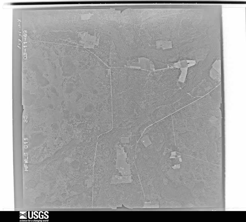
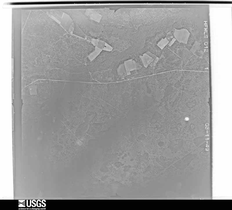
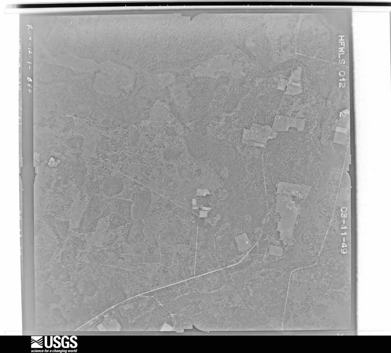
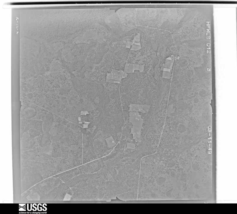
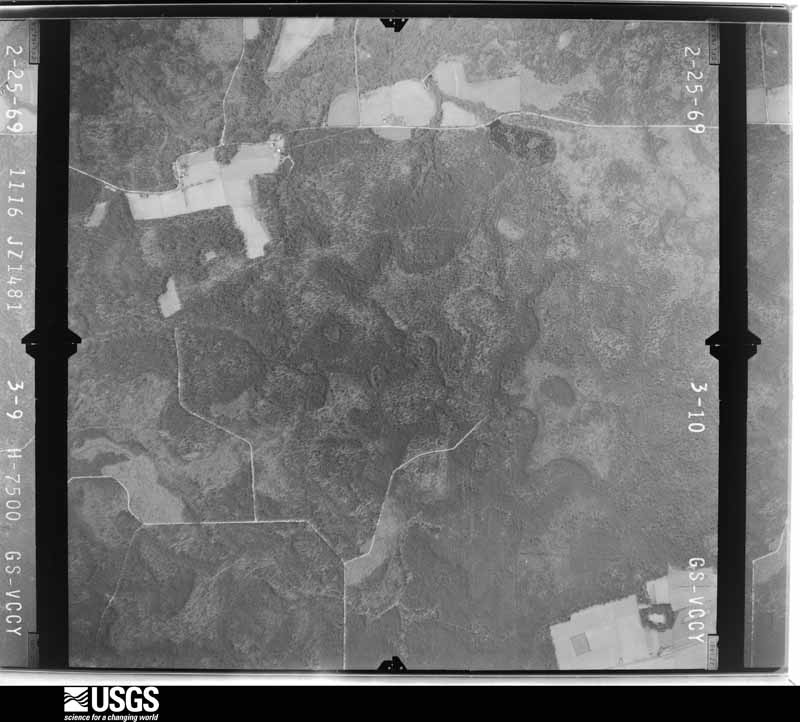
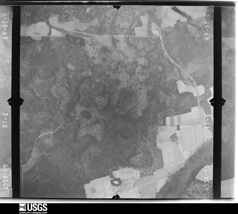
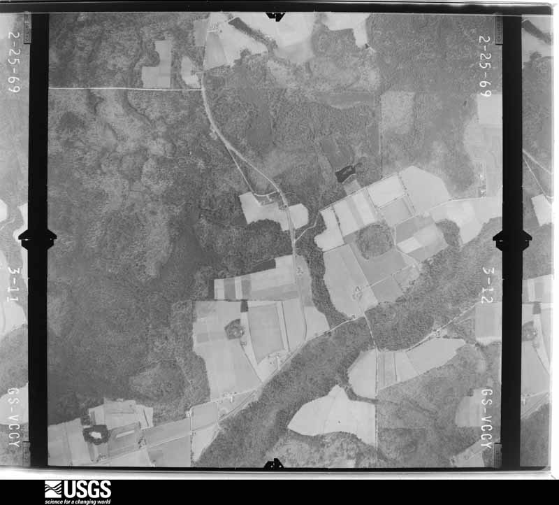
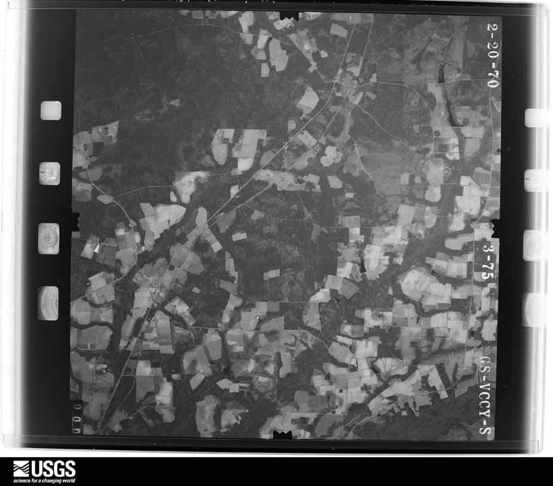
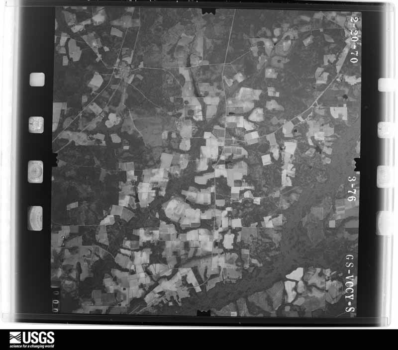
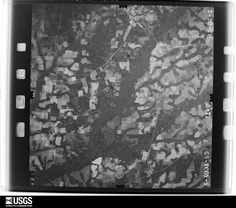
Flown by the U.S. Geological Survey between 1937 and 1989, the Aerial Photo Single Frames collection is the definitive mid-century view of the land: fields, roads and rivers as the camera saw them. The Survey holds 864 frames inside the rectangle that bounds this county; the 23 frames below were taken over the county itself, chosen across the decades of flights (at most four a year from that rectangle), so one flight cannot crowd out the rest. The full set is free to browse and download at EarthExplorer under the dataset Aerial Photo Single Frames.

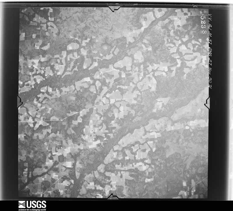
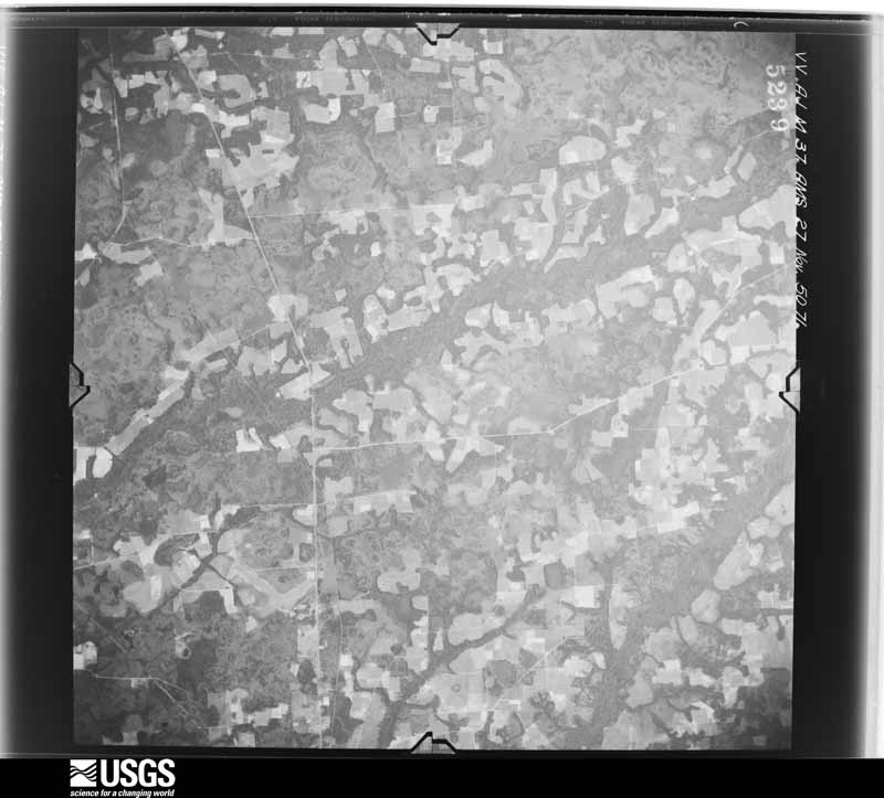
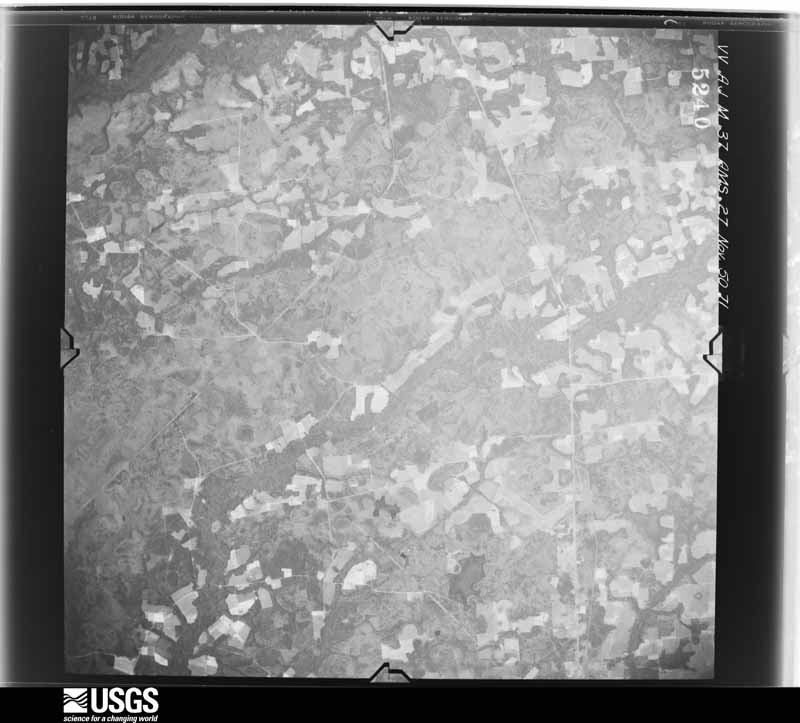
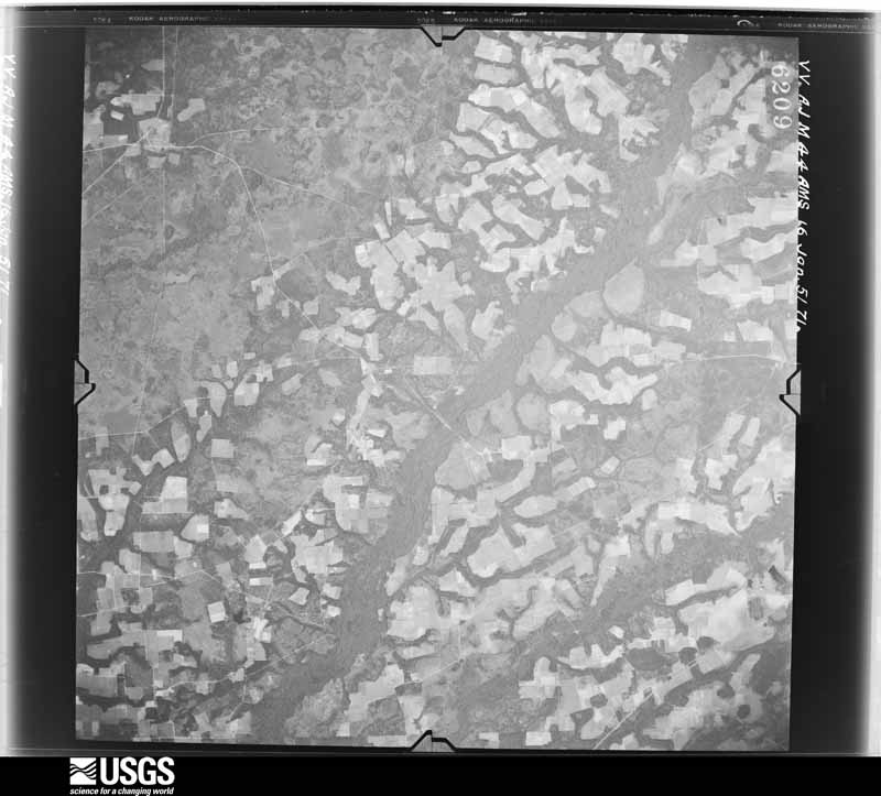
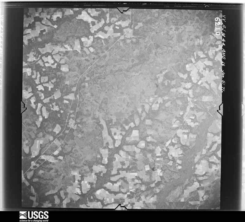
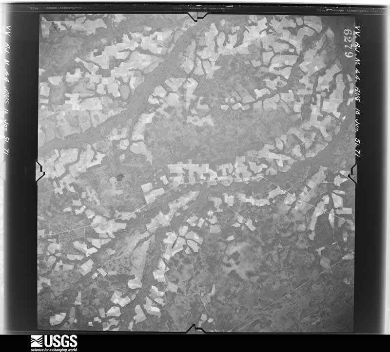
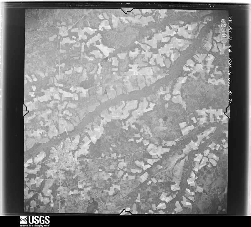
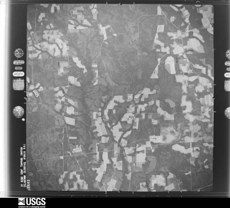
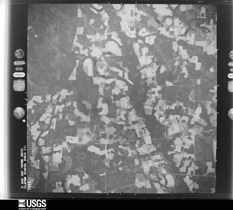
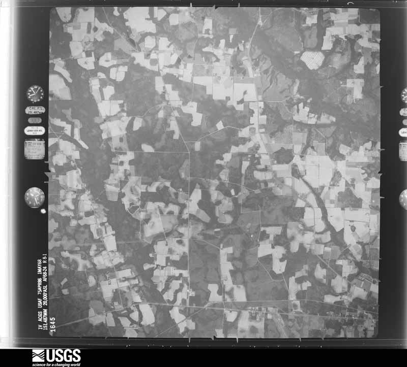
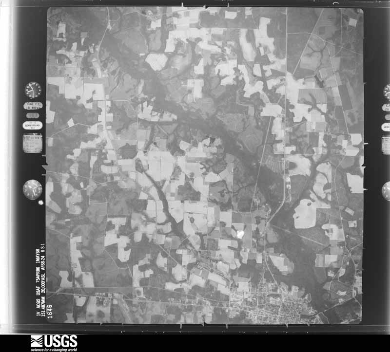
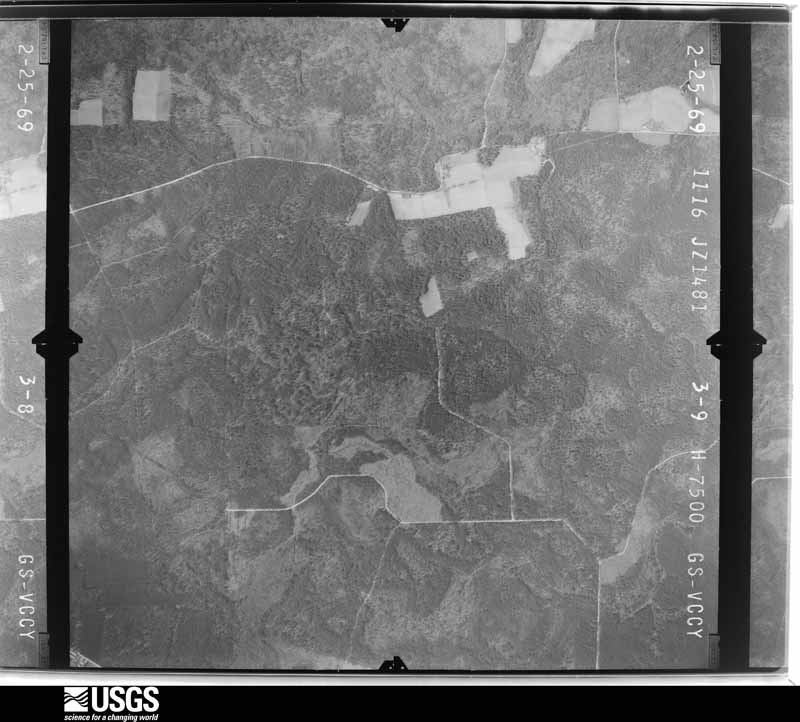
The thermometers that kept this county's weather, and the gages that measured the flow of its streams, as the federal records hold them. The extremes below are measured values from those records, not estimates.
Who lived here in 1950, one enumeration district at a time, as the Census Bureau described each district. Each row opens its official National Archives result, with Population Schedules and ED Maps available there.
Every wildfire the federal occurrence database records inside this county: 1,245 of them, burning about 29,552 acres. 105 started naturally and 284 were recorded as arson. Each settlement page carries the fires within five miles of it.
| Reported cause | Fires |
|---|---|
| Debris and open burning | 633 |
| Arson/incendiarism | 284 |
| Natural | 105 |
| Equipment and vehicle use | 93 |
| Missing data/not specified/undetermined | 43 |
| Misuse of fire by a minor | 31 |
| Railroad operations and maintenance | 24 |
| Smoking | 20 |
| Recreation and ceremony | 12 |
The five largest, by the area the report gives. Four of them were set deliberately.
| Date | Cause | Size | Reported by | Name on the report |
|---|---|---|---|---|
| 24 March 2011 | Debris and open burning | 22,246 acres | Georgia Forestry Commission | FY2011-BACON-081 |
| 28 July 2014 | Arson/incendiarism | 667 acres | Georgia Forestry Commission | FY2015-BACON-005 |
| 12 April 1999 | Arson/incendiarism | 526 acres | Georgia Forestry Commission | not named |
| 31 May 1999 | Arson/incendiarism | 481 acres | Georgia Forestry Commission | not named |
| 31 May 1999 | Debris and open burning | 438 acres | Georgia Forestry Commission | not named |
| 12 April 1999 | Arson/incendiarism | 374 acres | Georgia Forestry Commission | not named |
| 5 December 1999 | Railroad operations and maintenance | 304 acres | Georgia Forestry Commission | not named |
| 6 July 2006 | Missing data/not specified/undetermined | 202 acres | Georgia Forestry Commission | not named |
Every settlement page carries the fires within five miles of it - see the settlement index below.
The NOAA Storm Events Database holds 161 reports for this county, causing no deaths, 18 injuries and about $4,115,000 in recorded property damage. Each settlement page carries the reports that name it.
| Kind of event | Reports |
|---|---|
| Thunderstorm Wind | 100 |
| Hail | 28 |
| Tornado | 18 |
| Flash Flood | 4 |
| Heavy Rain | 4 |
| Flood | 3 |
| Funnel Cloud | 2 |
| Lightning | 1 |
| Winter Storm | 1 |
The most serious of them, by death, then injury, then recorded damage. The accounts are quoted exactly as the forecast office filed them.
| When | Event | Place named | Harm | What the report says |
|---|---|---|---|---|
| November 1957 | Tornado (F2) | not stated | 6 hurt, $25,000 | no account filed |
| February 1983 | Tornado (F1) | not stated | 3 hurt, $250,000 | no account filed |
| April 1961 | Tornado (F2) | not stated | 2 hurt, $25,000 | no account filed |
| January 2015 | Funnel Cloud | Rockingham | 2 hurt | A funnel cloud was reported in Alma. |
| January 2015 | Tornado (EF1) | Rockingham | 2 hurt | The tornado touched down near Radio Station Road. High end EF1 damage occurred along the path east of Johnson Lake Road along Georgia State Road 32. In this path the tornado severely damaged two mobile homes including a double wide trailer in which the walls were separated, the frame bent and flipped on its side. Large trees were snapped along the path. EF0 damage was noted along most of the path as the tornado tracked from Radio Station Road to McCarty as the storm approached State Road 32. The tornado continued northeast and weakened as it cross Ten Mile Creek over Mallard Road with a track ceasing near Bobwhite Road. The width of the tornado ranged between 30-50 yards. Two injuries occurred with one mobile home, and one resident was life-flighted with critical injuries. Both victims survived. The tornado was an EF1 with maximum winds of 100-110 mph. |
| June 1991 | Thunderstorm Wind | not stated | 2 hurt | no account filed |
| October 1997 | Tornado (F2) | Alma | 1 hurt, $200,000 | Ten homes destroyed, four with major damage, and 17 sustained minor damage. A four mile line of standing pine timber was completely destroyed. |
| December 2009 | Tornado (EF1) | Sessoms Station | $3,000,000 | A weak tornado touched down briefly in an open field and tracked northeast, striking a set of chicken houses. Damage was estimated at nearly $3 million to the chicken houses. The structure was primarily made of wood and tin, and amount of damage, mainly to roof of one section, and total collapse of a 2-story section, suggests EF1 damage. Significant damage to trees was also noted along track. |
| December 2005 | Tornado (F0) | Alma Bacon Co Arpt | $200,000 | Near White pine Highway and Sessoms Rd. Tornado touched down uprooting oak trees with one in the side of a house collapsing back porch. A second house was damaged with the roof ripped off. A nearby mobile home was pushed off its foundation. wood frame house suffered roof damage with several windows smashed. Debris was scattered in all directions. Source Mr. Charles Carter EMA Director. Touchdown at 31 28.738N 82 35.842W lifted at 31 29.224N 82 33.808W. |
| November 2002 | Tornado (F0) | Alma | $100,000 | One mobile home destroyed and a portion of the roof of an adjacent wood frame structure removed. Several large trees down across roadway. Several tree tops snapped off and twisted. Debris wrapped around tree tops. |
| December 2002 | Thunderstorm Wind | Alma | $50,000 | Several barns lost roofs. |
| December 2002 | Tornado (F0) | Alma | $40,000 | House damaged by 16 inch diameter tree. Numerous trees down. 2 mile long path about 100 yards wide. |
| March 2000 | Tornado (F0) | Alma | $25,000 | Destroyed one mobile home, two others were damaged. |
| March 1998 | Flash Flood | Countywide | $25,000 | Numerous roads and streets were closed. |
| February 1983 | Tornado (F1) | not stated | $25,000 | no account filed |
| January 1971 | Tornado (F2) | not stated | $25,000 | no account filed |
| January 1962 | Tornado (F2) | not stated | $25,000 | no account filed |
| July 1996 | Lightning | Alma | $20,000 | no account filed |
| February 2003 | Thunderstorm Wind | Alma | $10,000 | Large trees blown down across power lines with some power poles snapped. |
| December 2002 | Thunderstorm Wind | Countywide | $10,000 | Numerous trees and power lines down across county. Several barns lost roofs due to straight line winds. Winds estimated by EMA. |
| December 2002 | Tornado (F0) | Alma | $10,000 | Numerous trees snapped off and down along Hwy 23. |
| September 1998 | Flash Flood | Countywide | $10,000 | Rainfall amounts of 5 to 7 inches from the remnants of Hurricane Georges caused the closing of numerous street and roads. |
| July 2001 | Thunderstorm Wind | Alma | $3,500 | Large trees and power lines were blown down. |
| June 2000 | Thunderstorm Wind | Alma | $2,500 | Large trees and power lines were blown down. |
| August 2000 | Thunderstorm Wind | Alma | $2,500 | Large trees and power lines were blown down. The roof of a mobile home was blown off. |
| August 1999 | Thunderstorm Wind | Alma | $2,500 | Large trees and power lines were blown down. |
| October 1997 | Thunderstorm Wind | Rockingham | $2,500 | Large trees and power lines were blown down. |
| April 1969 | Tornado (F2) | not stated | $2,500 | no account filed |
| July 2016 | Thunderstorm Wind | Rockingham | $2,000 | Four trees were blown down. The cost of damage was unknown but estimated for the event to be included in Storm Data. |
| August 2013 | Flood | Alma | $2,000 | U.S. Highway 1 at mile marker 6 near Alma was inundated by flood waters from recent heavy rainfall. The cost of damage was unknown but was estimated for the event to be included in StormData. It is likely grossly underestimated. |
| December 2002 | Thunderstorm Wind | Alma | $2,000 | Large trees down across highway or damaged along Hwy 23 north of Alma |
| May 1998 | Thunderstorm Wind | Alma | $2,000 | Large trees were blown down. |
| November 1995 | Thunderstorm Wind | not stated | $2,000 | Several reports of large tree limbs and power lines blown down. |
| March 2000 | Thunderstorm Wind | Alma | $1,500 | Large trees and power lines were blown down. |
| August 2000 | Thunderstorm Wind | Alma | $1,500 | Large trees and power lines were blown down. |
| July 1998 | Thunderstorm Wind | Alma | $1,500 | Large trees and power lines were blown down. |
| June 1998 | Thunderstorm Wind | Alma | $1,500 | Large trees and power lines were blown down. |
| February 1998 | Thunderstorm Wind | Alma | $1,500 | Large tress and power lines were blown down. |
| August 2015 | Thunderstorm Wind | Alma | $1,000 | Trees were blown down onto power lines. The cost of damage was estimated for the event to be included in StormData. |
| March 2011 | Thunderstorm Wind | (Amg)Bacon Co Arpt A | $1,000 | The county sheriff relayed a report of a large tree down blocking Albany and Old Dixie School Roads. The cost of tree removal was estimated. |
| March 2011 | Thunderstorm Wind | Alma | $1,000 | The county sheriff reported a large tree was blown down blocking Cricket River Road. The cost of tree removal was estimated. |
| July 2008 | Thunderstorm Wind | Rockingham | $1,000 | A residence off of Muskrat Road estimated winds to at least 70 mph. A large tree was blown down and damaged a trampoline. The cost of damage was estimated. |
| May 2008 | Hail | Alma | $1,000 | The public reported slight damage to cars with small dings due to penny sized hail in the vicinity of Alma. |
| June 2015 | Flood | Coffee | $500 | Flooding occurred along Scuffleton Highway just west of the Big Satilla Creek along the Bacon/Pierce county line. The cost of damage was unknown, but estimated for the event to be included in Storm Data. |
| June 1998 | Thunderstorm Wind | Coffee | $500 | Large trees were blown down. |
| July 1995 | Thunderstorm Wind | Alma | $500 | Thunderstorm winds knocked down trees and limbs which were blocking the road. |
| February 2025 | Thunderstorm Wind | Alma | - | A tree was blown down in Alma across Douglas Street. The time of damage was based on radar. |
| June 2025 | Heavy Rain | (Amg)Bacon Co Arpt A | - | The ASOS at Alma, GA KAMG measured 2.45 inches during the past hour. |
| January 2025 | Winter Storm | not stated | - | One to four (1-4) inches of snow occurred across the county. The snow/sleet transitioned to freezing rain before becoming all rain during the early to mid afternoon hours. An additional 1/10 to 2/10 inch of ice accumulation occurred on top of the snow. Numerous roads, especially those untreated were very difficult if not impassable to travel on. |
| May 2024 | Thunderstorm Wind | Alma | - | Numerous tree were blown down across the southern tier of the county. |
| January 2024 | Tornado (EF1) | Sessoms Station | - | An EF1 tornado with peak winds near 110 mph raced NE from just west of Nicholls in Coffee County to Norman Cole Circle in west-central Bacon county before it dissipated. Most damage occurred to trees and farm buildings, with some outbuildings totally destroyed. The tornado continued to track NE crossing Roberts Cemetery Road, Dove Lane and Honey Suckle Road where EF1 strength continued to caused tree and outbuilding structure damage, including large hardwood trees blown down and |uprooted. The tornado continued NE and crossed Indian Road, |Black River Road and Florida Road where trees and outbuildings |were damaged. The tornado maintained EF1 strength as it damaged well-built |structures including a car port, outbuildings, farm buildings and |trees along Norman Cold Circle before dissipating around 1:05 pm EST. |
| August 2023 | Thunderstorm Wind | Alma | - | Severe trees were blown down across Radio Station Road near Mimosa Road. The time of damage was based on radar. |
| January 2023 | Tornado (EF1) | Rockingham | - | A tornado touched down NE of Alma GA near the Bennett Still Highway in Bacon County. The tornado tracked NE about 3.5 miles and crossed the Dedge Farm Road and Mallard Road. The tornado track then shifted more east to northeast and passed Whip-Poor-Will Way and crossed Oak Hill Church Road. It then weakened as it crossed the Big Satilla Creek and traveled into Appling County. Areas of large trees, snapped at the base and uprooted, were observed along the entire damage path. There was moderate structure damage near the Bacon and Appling county line which included a trailer tipped over onto an adjacent vehicle at Cardinal Road. There was also a collapsed barn roof on Red Oak Road. Peak winds were estimated at 104 mph with this tornado documented as an EF1. |
| June 2023 | Thunderstorm Wind | Rockingham | - | Widespread trees and powerlines were blown down across the county. The time of damage was based on radar. |
| August 2023 | Thunderstorm Wind | (Amg)Bacon Co Arpt A | - | The Alma, Bacon County Airport, GA ASOS measured a gust of 51 knots. |
| August 2023 | Heavy Rain | Alma | - | A public rain gage measured 4.84 inches of storm total rainfall thus far. Several other reports of 4-5 inches were measured within the city limits of Alma, as well as from Alma to Nicholls to Douglas. |
| August 2023 | Heavy Rain | Rockingham | - | A weather station along New Hope Church Road measured 5.53 inches of storm total rainfall thus far. |
| April 2021 | Thunderstorm Wind | Sessoms Station | - | Straight line wind damaged a single wide mobile home, farm shelter, and an unoccupied tractor trailer that was rolled over. |
| February 2020 | Thunderstorm Wind | Guysie | - | Numerous trees and power lines were blown down across the county. |
| April 2019 | Thunderstorm Wind | Sessoms Station | - | Trees were blown down and a roof of a shelter was torn off in the 1600 block of Wolfpitt Church Road. |
Named settlements recorded in the Geographic Names Information System, each with the topographic sheets covering it. Villages, hamlets and abandoned places alike. Each is shown with the nearest named watercourse or landform and the survey quadrangle it falls on. The 1 place that was also surveyed for fire insurance comes first, with the number of atlases and photographs held for them.
Alma census division · 31510 · On Bear Branch · Alma quadrangle
8 sheets, 1953 to 1988
Fire insurance: 2 atlases