 Block
From the record
23 National Register listings published here, 2 of them National Historic Landmarks.
Sources: the National Register database, National Park Service
38 topographic sheets and 8 fire insurance atlases across 1 place.
23 National Register listings published here, 2 of them National Historic Landmarks.
Sources: the National Register database, National Park Service
Taken for the Office of War Information and the Farm Security Administration, who photographed the country between 1935 and 1944. Works of United States government photographers, with no known restriction on use. Each opens its catalogue record.
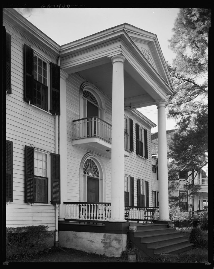
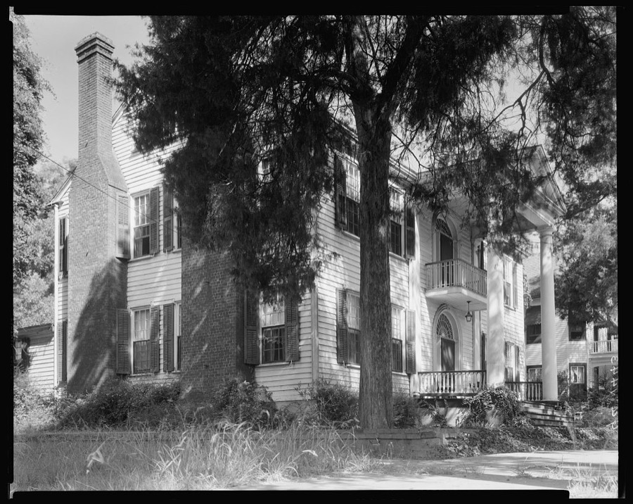
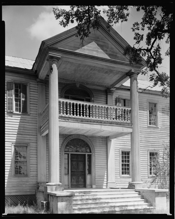
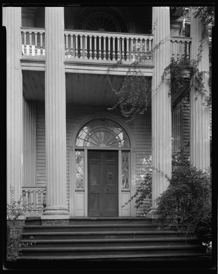
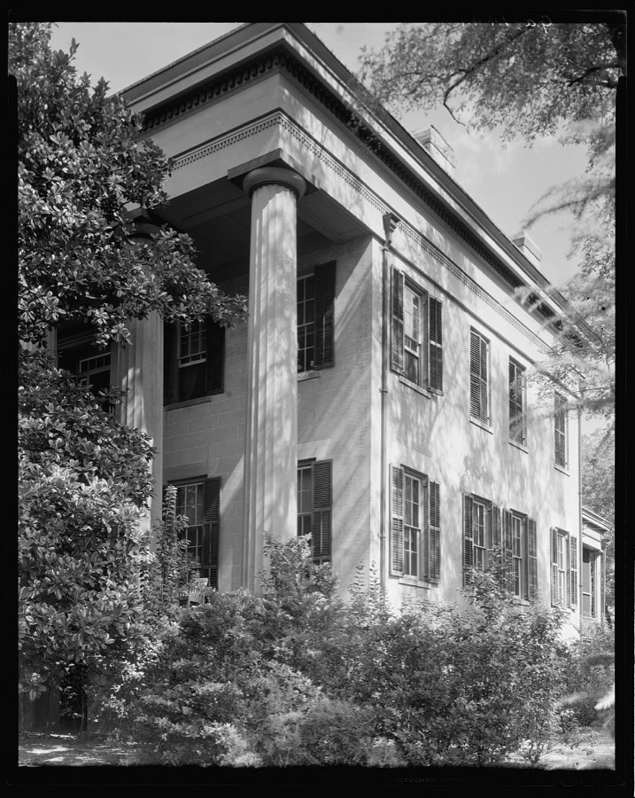
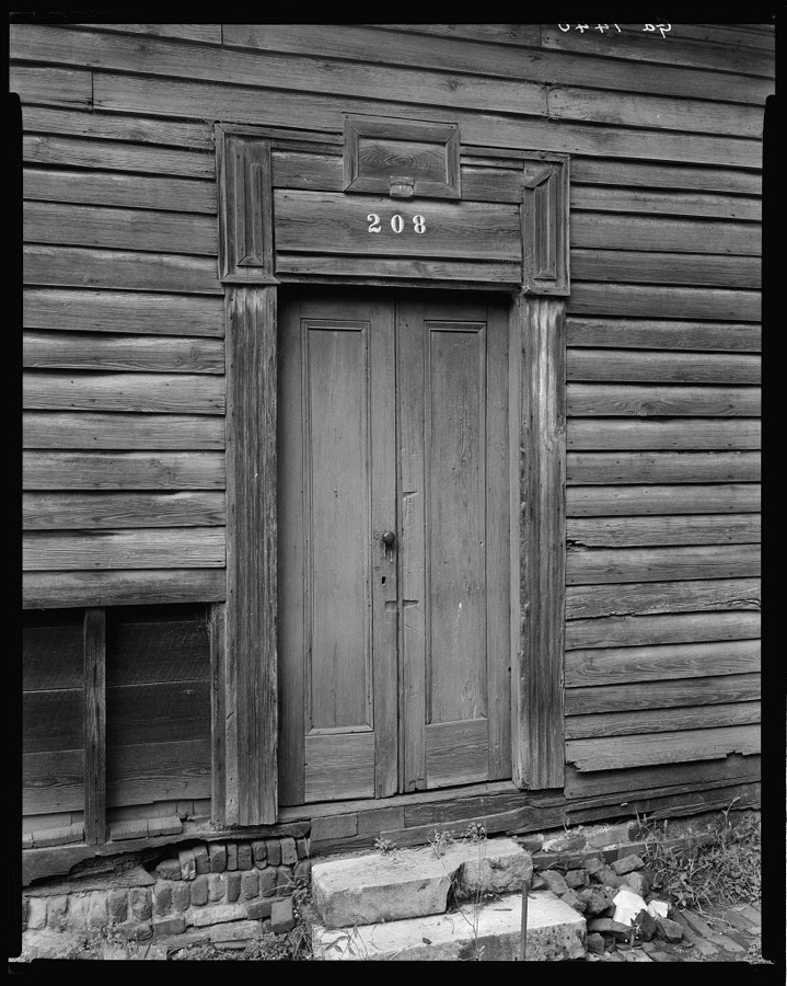
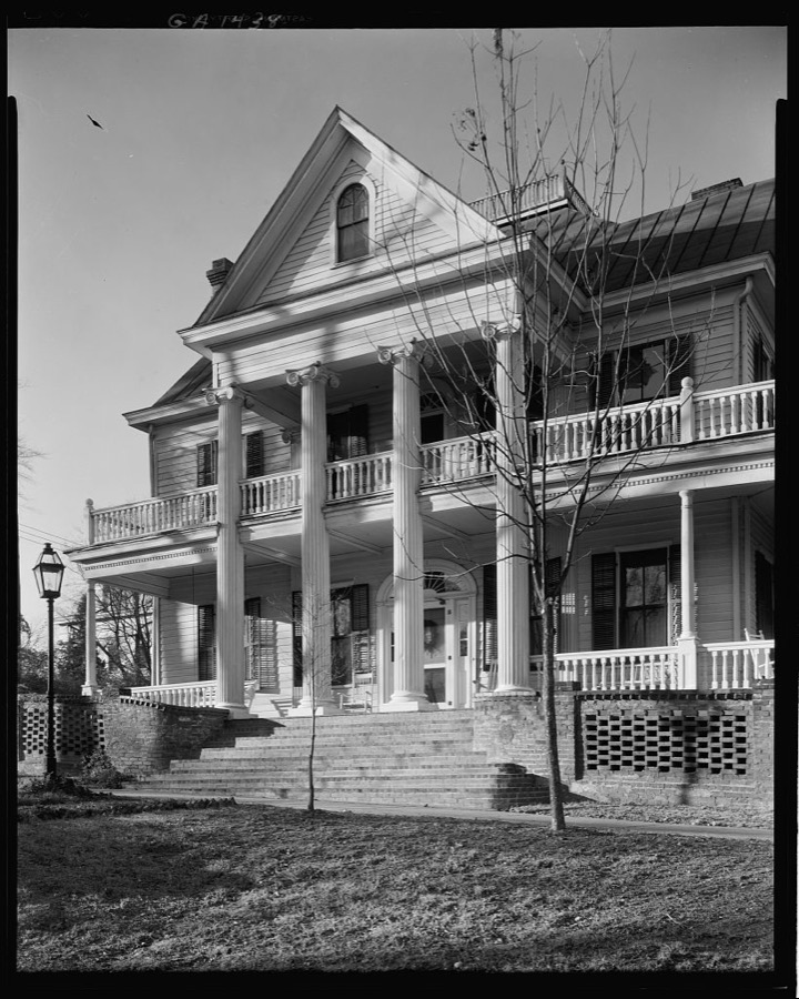
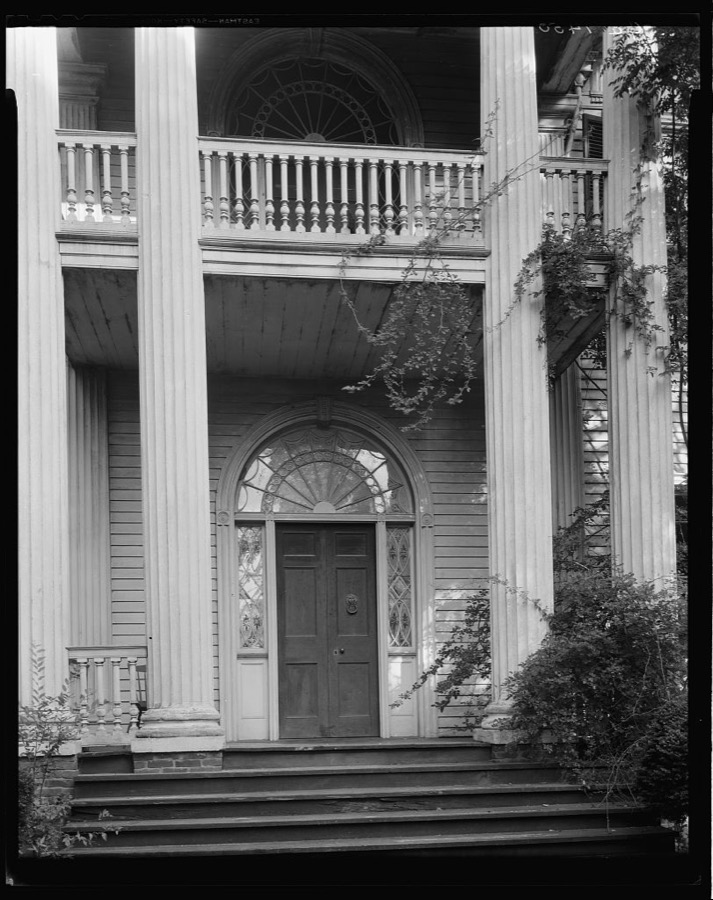
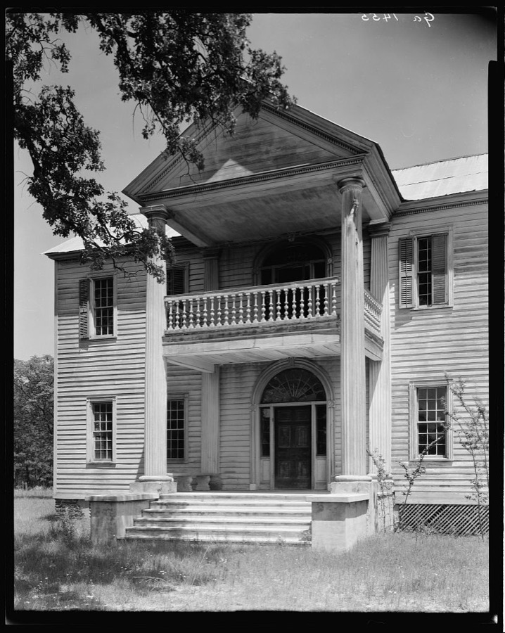
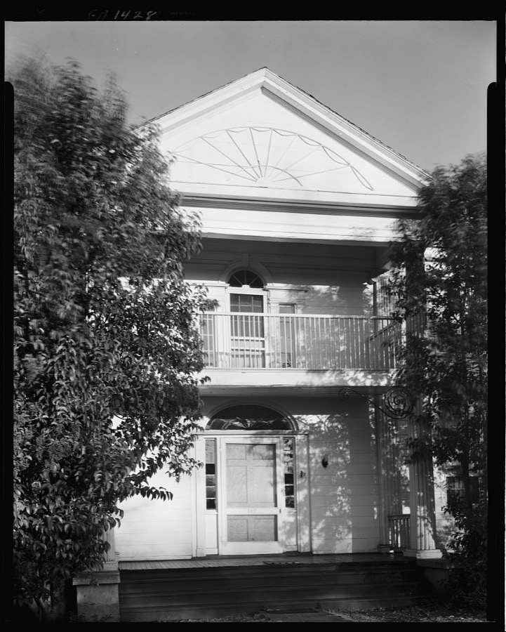


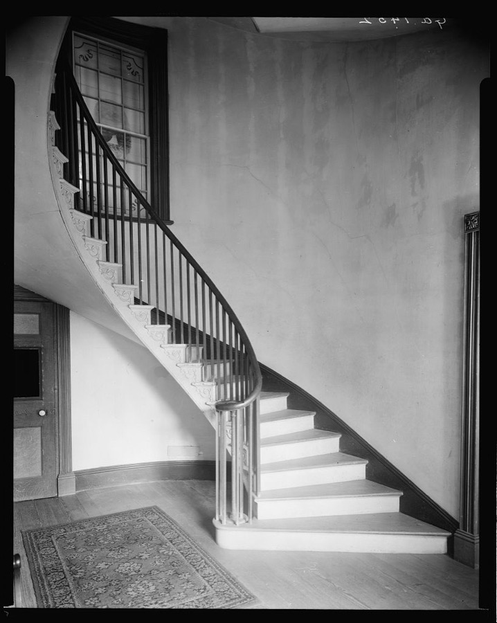

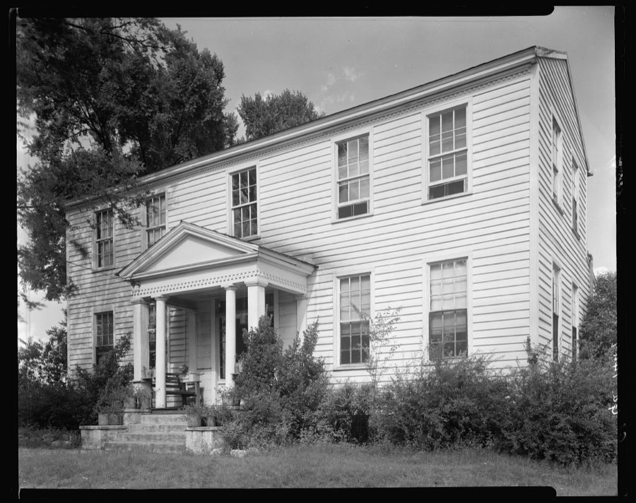

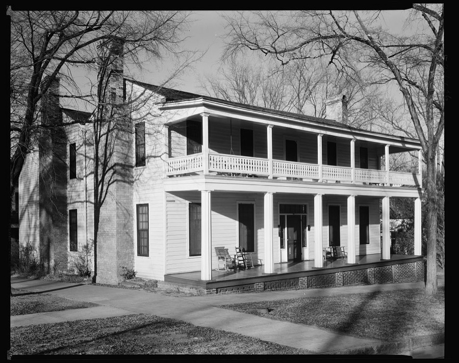
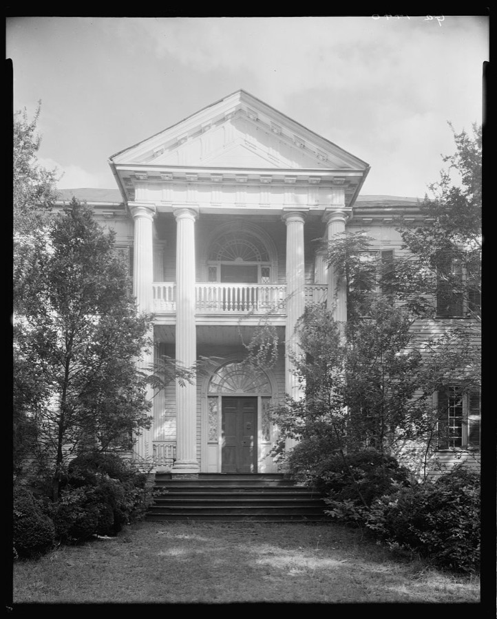
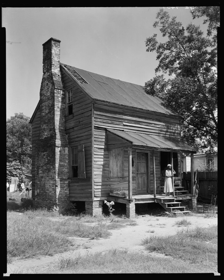
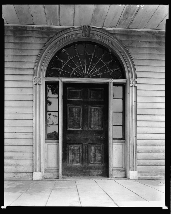
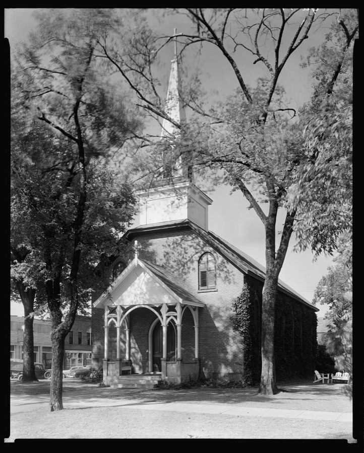
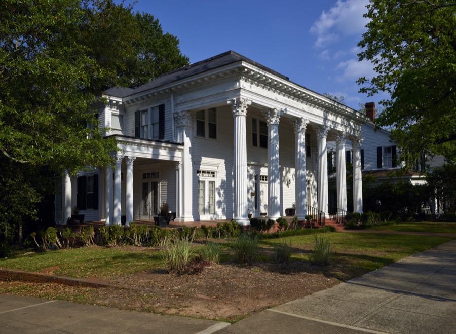
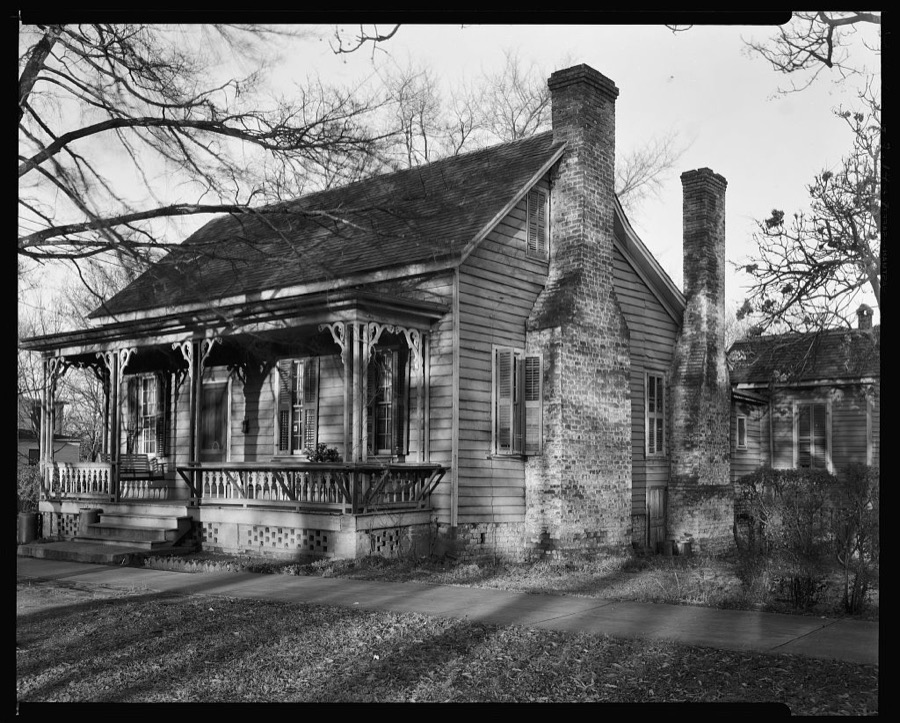
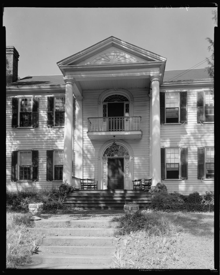
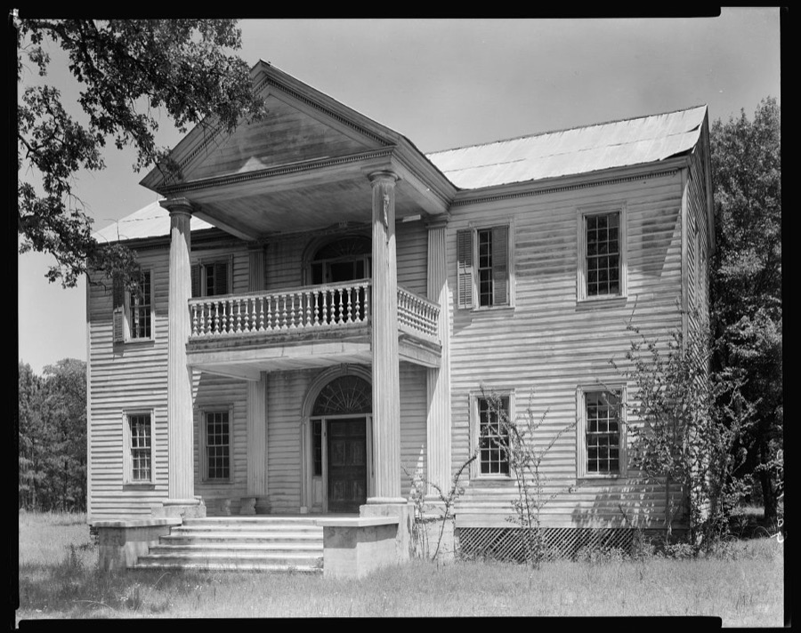
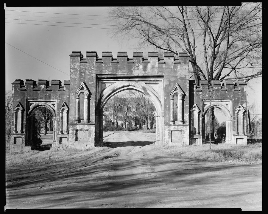
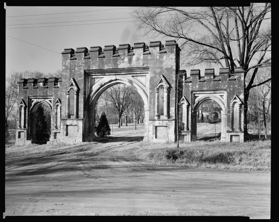
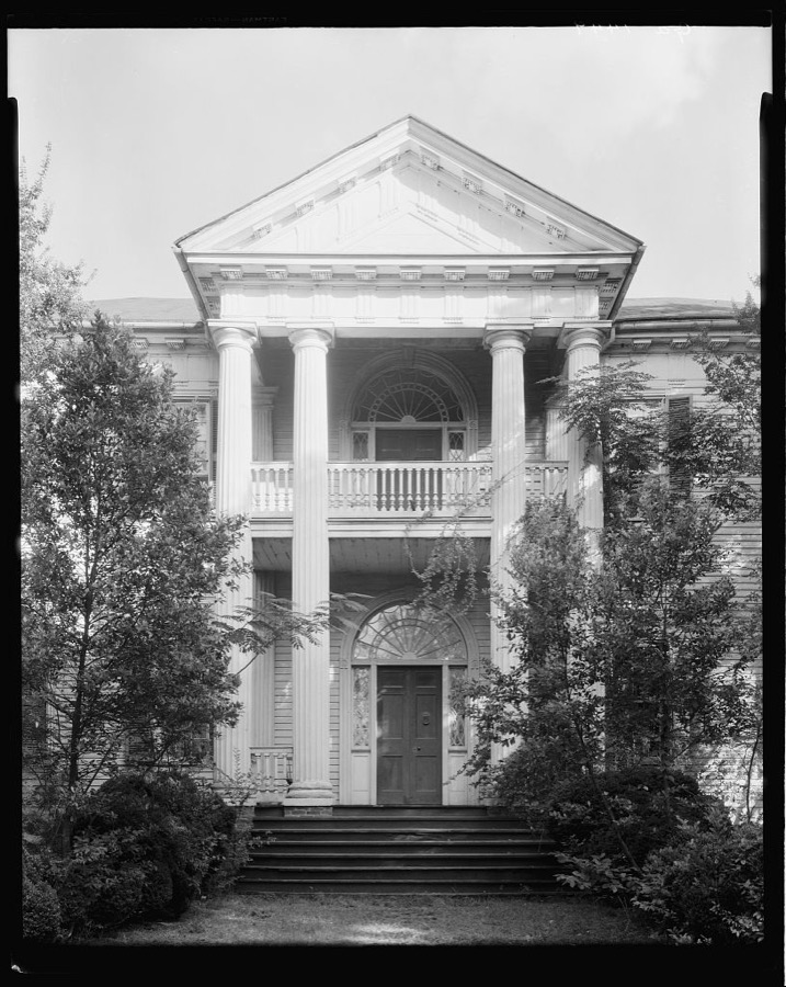
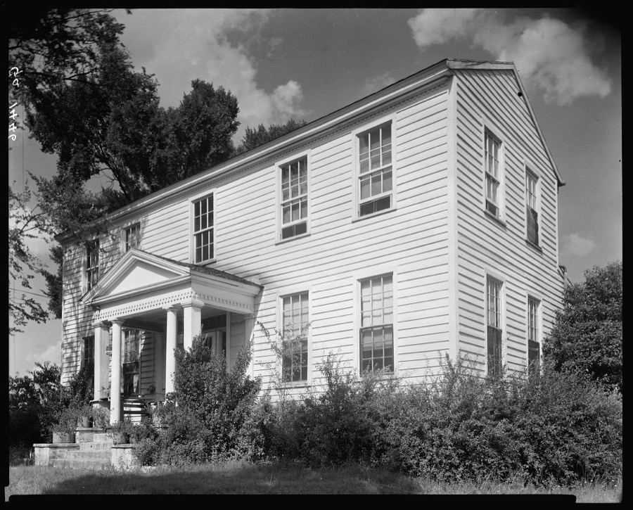
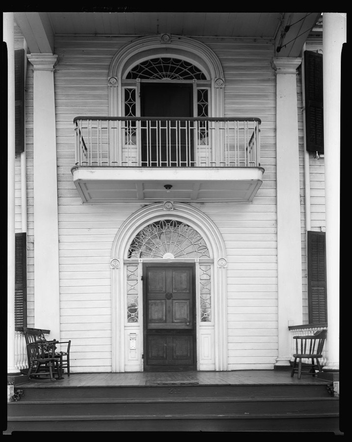

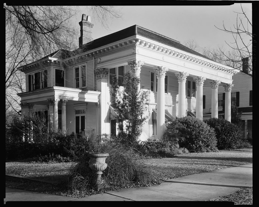
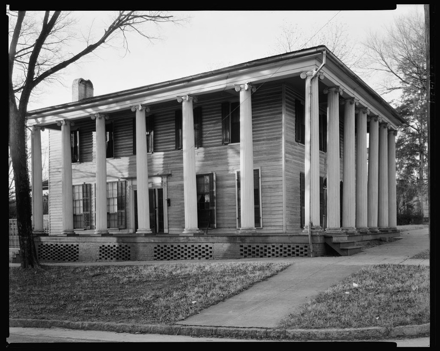

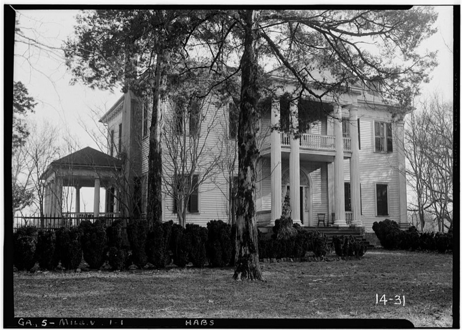
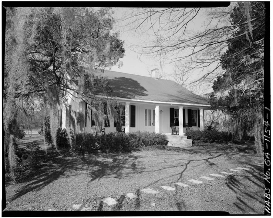
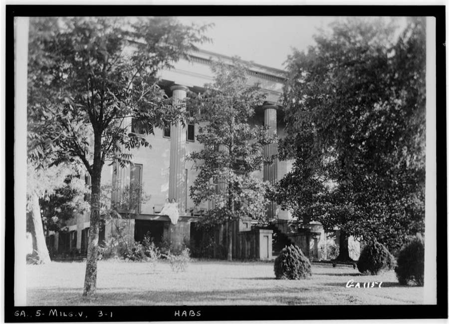
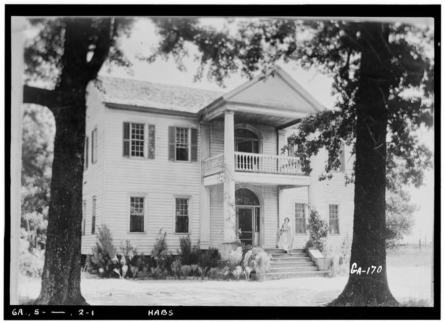
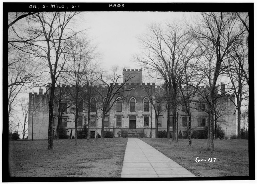
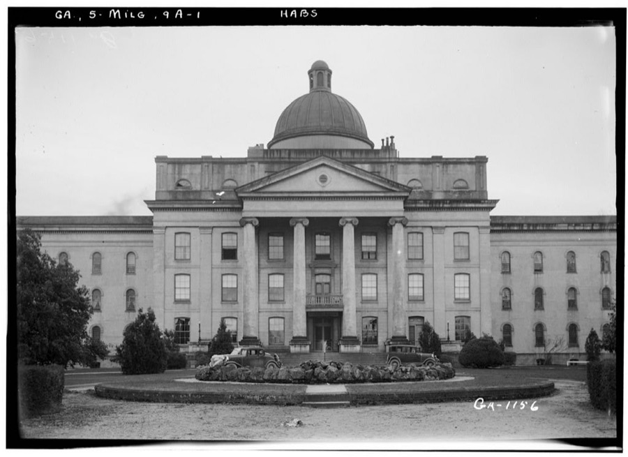
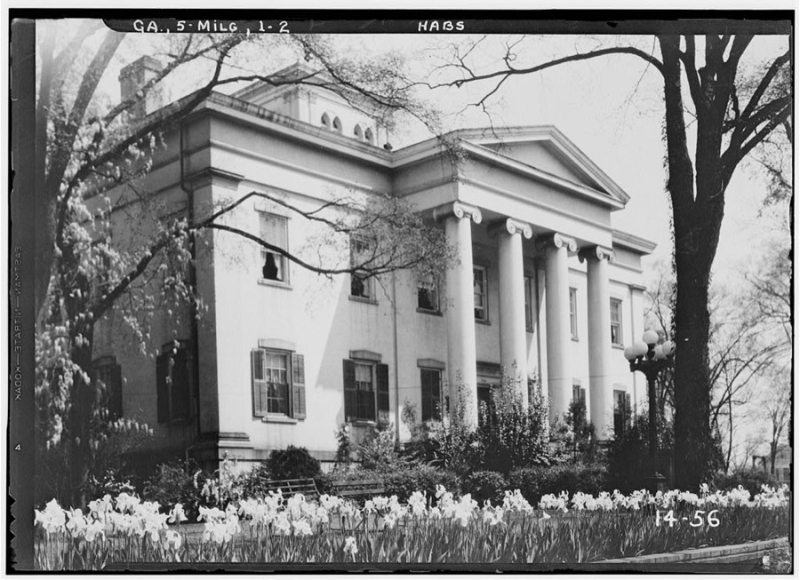
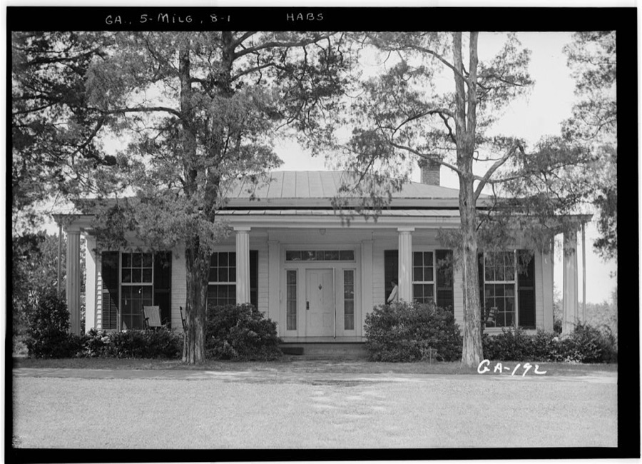
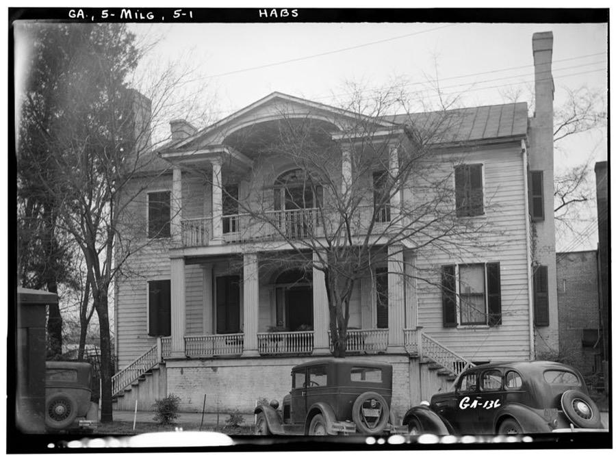
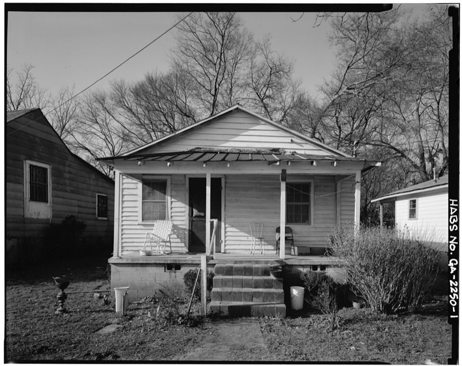
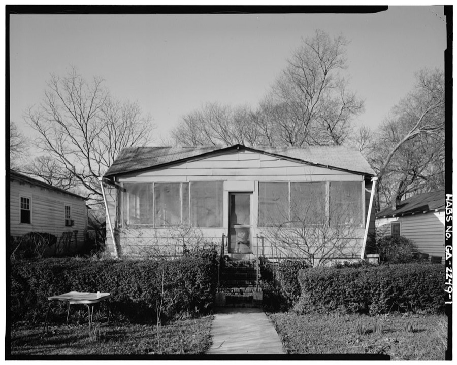
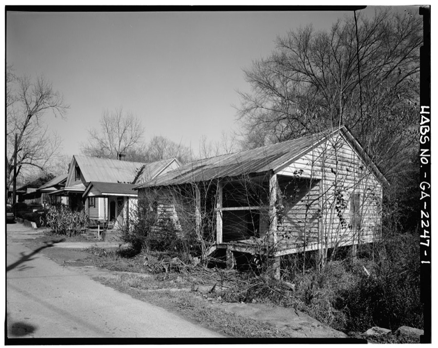
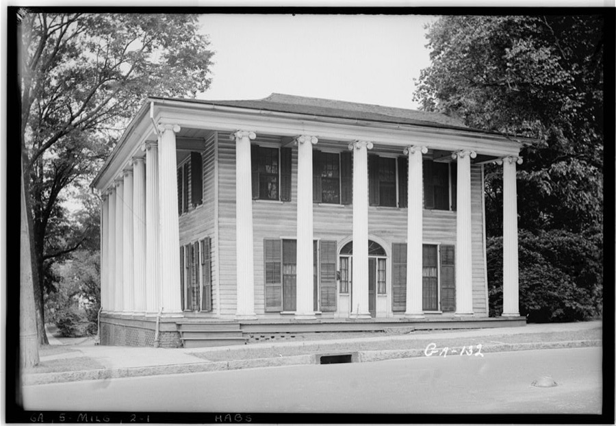
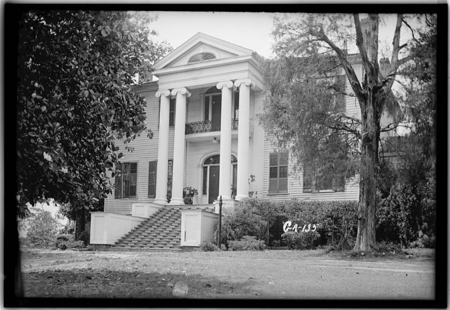
Every property in this county listed on the National Register of Historic Places, with the year it was listed and the federal nomination document.
| Photograph | Property | Type | Listed | Reference |
|---|---|---|---|---|
 | Atkinson Hall, Georgia College | building | 1972 | 72000359 |
| Barrowville | building | 1978 | 78000958 | |
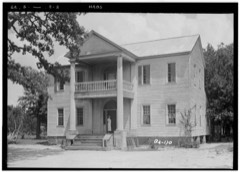 | Maj. Francis Boykin House | building | 1978 | 78000959 |
 | Central Building, State Lunatic Asylum | building | 1978 | 78000960 |
 | Central State Hospital Cemeteries | district | 2005 | 05000694 |
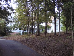 | Devereux-Coleman House | building | 1993 | 93000214 |
 | Fort-Hammond-Willis House | building | 2003 | 03000173 |
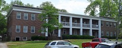 | Fowler Apartments | building | 1997 | 97000861 |
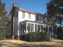 | Hill House, Andalusia | building | 1980 | 80000968 |
 | Milledgeville Historic District | district | 1972 | 72000360 |
 | Old Governor's Mansion | building | 1970 | 70000194 |
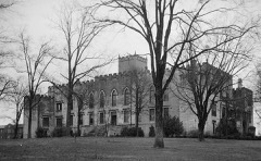 | Old State Capitol | building | 1970 | 70000195 |
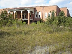 | Old State Prison Building | building | 1979 | 79000694 |
 | Samuel Rockwell House | building | 1978 | 78000961 |
| Roe-Harper House | building | 1986 | 77000437 | |
 | Rose Hill | building | 2017 | 100000821 |
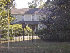 | John Rutherford House | building | 1978 | 78000962 |
 | Storehouse, State Lunatic Asylum | building | 1978 | 78000963 |
| Thalian Hall | building | 1978 | 78000964 | |
| Westbrook-Hubert Farm | district | 1997 | 97000558 | |
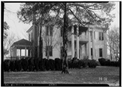 | Westover | district | 1987 | 87000094 |
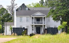 | Woodville | building | 1979 | 79000695 |
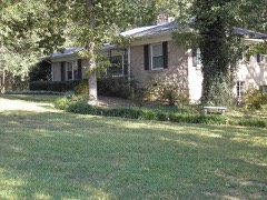 | Dr. Charles and Louise Zattau House | building | 2012 | 12000381 |
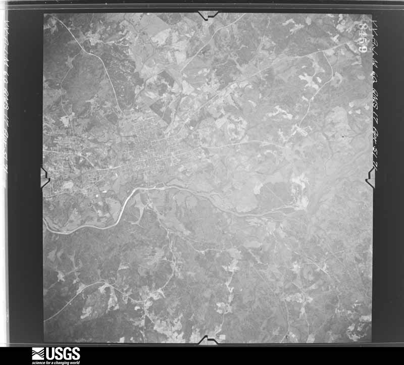
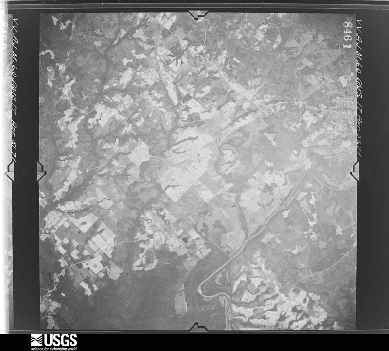
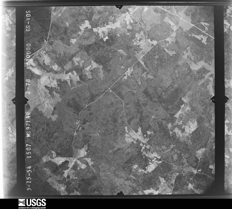
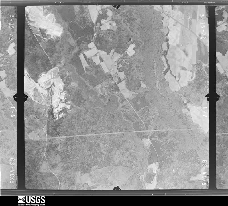
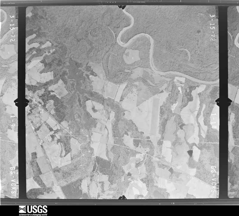
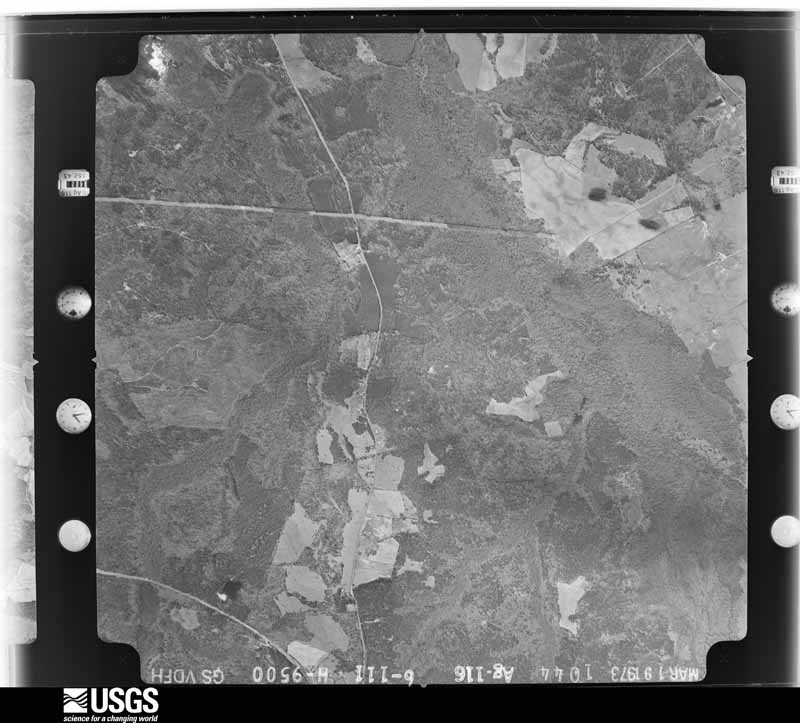
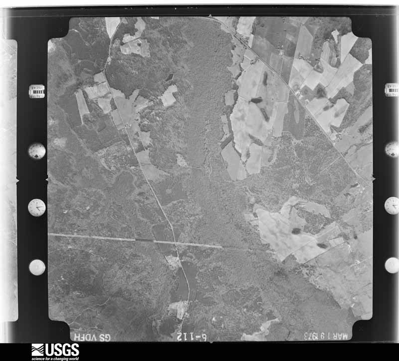
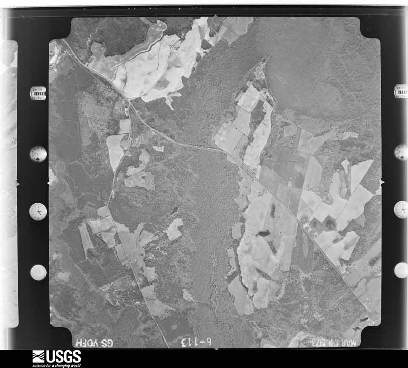
Flown by the U.S. Geological Survey between 1937 and 1989, the Aerial Photo Single Frames collection is the definitive mid-century view of the land: fields, roads and rivers as the camera saw them. The Survey holds 422 frames inside the rectangle that bounds this county; the 18 frames below were taken over the county itself, chosen across the decades of flights (at most four a year from that rectangle), so one flight cannot crowd out the rest. The full set is free to browse and download at EarthExplorer under the dataset Aerial Photo Single Frames.





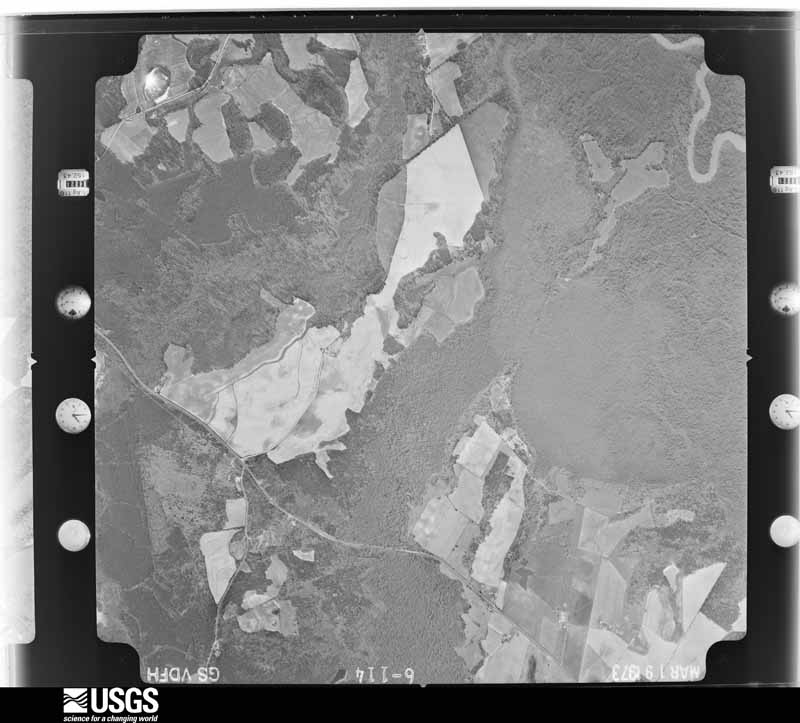
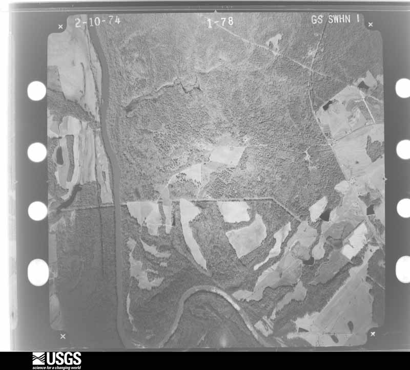
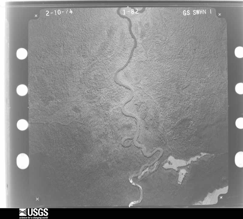


The thermometers that kept this county's weather, and the gages that measured the flow of its streams, as the federal records hold them. The extremes below are measured values from those records, not estimates.
Who lived here in 1950, one enumeration district at a time, as the Census Bureau described each district. Each row opens its official National Archives result, with Population Schedules and ED Maps available there.
Every wildfire the federal occurrence database records inside this county: 950 of them, burning about 2,965 acres. 44 started naturally and 35 were recorded as arson. Each settlement page carries the fires within five miles of it.
| Reported cause | Fires |
|---|---|
| Debris and open burning | 589 |
| Equipment and vehicle use | 70 |
| Missing data/not specified/undetermined | 66 |
| Misuse of fire by a minor | 62 |
| Smoking | 47 |
| Natural | 44 |
| Arson/incendiarism | 35 |
| Recreation and ceremony | 29 |
| Railroad operations and maintenance | 8 |
The five largest, by the area the report gives. One of them was set deliberately.
| Date | Cause | Size | Reported by | Name on the report |
|---|---|---|---|---|
| 12 March 2005 | Misuse of fire by a minor | 74 acres | Georgia Forestry Commission | not named |
| 3 March 2008 | Debris and open burning | 67 acres | Georgia Forestry Commission | not named |
| 20 January 2014 | Recreation and ceremony | 66 acres | Georgia Forestry Commission | FY2014-BALDWIN-014 |
| 8 February 1992 | Debris and open burning | 65 acres | Georgia Forestry Commission | not named |
| 24 March 2017 | Debris and open burning | 50 acres | Georgia Forestry Commission | FY2017-BALDWIN-030 |
| 28 February 1999 | Missing data/not specified/undetermined | 48 acres | Georgia Forestry Commission | not named |
| 15 March 1994 | Arson/incendiarism | 44 acres | Georgia Forestry Commission | not named |
| 24 February 1996 | Debris and open burning | 44 acres | Georgia Forestry Commission | not named |
Every settlement page carries the fires within five miles of it - see the settlement index below.
The NOAA Storm Events Database holds 191 reports for this county, causing no deaths, 3 injuries and about $6,013,250 in recorded property damage. Each settlement page carries the reports that name it.
| Kind of event | Reports |
|---|---|
| Thunderstorm Wind | 119 |
| Hail | 44 |
| Tornado | 9 |
| Flash Flood | 6 |
| Lightning | 5 |
| Flood | 4 |
| Heavy Rain | 2 |
| Strong Wind | 1 |
| Winter Storm | 1 |
The most serious of them, by death, then injury, then recorded damage. The accounts are quoted exactly as the forecast office filed them.
| When | Event | Place named | Harm | What the report says |
|---|---|---|---|---|
| July 2005 | Heavy Rain | Milledgeville | 2 hurt, $25,000 | The Union Recorder of Milledgeville reported that torrential rainfall, associated with the outer spiral feeder bands of Dennis resulted in the collapse of the Fitness Plus Center. The force of the collapse also blew out the front windows of the building. Two employees of the center were injured during the incident. |
| July 2006 | Thunderstorm Wind | Hardwick | 1 hurt, $115,000 | The Baldwin County Emergency Management Director, the Baldwin County 911 Center, and the Union Recorder of Milledgeville reported that at least 12 trees were blown down approximately five miles south of Milledgeville. A large 200-year old oak tree fell on a home in Milledgeville causing extensive damage to the structure. A female resident of the house sustained minor injury to her knee from fallen debris in the damaged home. At least 10 of the trees were down in the Memory Hill Cemetery which resulted in destruction to more than a dozen gravestones. Many of the downed trees were 60 to 80 years old. |
| December 1964 | Tornado (F3) | not stated | $2,500,000 | no account filed |
| May 2008 | Hail | Milledgeville | $1,200,000 | The Baldwin County 911 Center reported golf ball to baseball-sized hail in Milledgeville. The hail combined with wind gusts in excess of 60 mph caused extensive damage to property in the area. The public also observed golf ball-sized hail in the far southeast part of the county, approximately 11 miles southeast of Milledgeville. The hail caused damage to the roofs of many homes and hundreds of vehicles. The Baldwin County Emergency Management Director reported that the large hail damaged 31 county vehicles costing the county at least $55,000. In addition, the hail caused damage to several county buildings, including the 911 Center, the sheriff's office, and the fire station. The Emergency Management Director observed that the hail remained on the ground for at least two hours after the event. Radar supports that large hail of golf ball size or larger likely fell in a wide swath from northwest to southeast Baldwin county. |
| June 2023 | Lightning | Allon Mill | $300,000 | House fire due to lightning strike. Structure was a total loss. |
| March 2008 | Hail | Browns Crossing | $300,000 | Numerous reports of golf ball-sized hail, and several reports of quarter-sized hail, were received from the public across Baldwin county from the Jones county line west of Browns Crossing and through the central and southern portions of the Milledgeville area. Damage to home and automobiles was observed. An amateur radio operator reported that quarter-sized hail reports were received from the northern part of the county near the Hancock county line to the eastern part of the county near the Washington county line. |
| March 2008 | Thunderstorm Wind | Milledgeville | $250,000 | The public reported that thunderstorm winds caused considerable damage in the Milledgeville area. Several trailers were overturned, windows in homes were broken, and several vehicles were damaged along Deerwood Drive. |
| May 2008 | Thunderstorm Wind | Milledgeville | $250,000 | A damage survey conducted by the National Weather Service Forecast Office in Peachtree City, Georgia along with information received from reports by the Baldwin County Emergency Management Director, the public, and the media, indicated that straight-line winds up to 80 mph affected the Milledgeville area. The worst damage occurred within in an area from 3.5 miles northwest of the city to 1.0 mile north of the city. Within this area, approximately 150 trees were down. Many power lines were also down as a result of fallen trees. Nearly the entire area was without power, some areas over a day. The majority of the damage occurred along Little Road northwest of Milledgeville where up to 100 trees were down and along North Jefferson Street, one mile north of downtown Milledgeville, where at least 50 trees were down. |
| May 1995 | Thunderstorm Wind | Milledgville | $200,000 | Thunderstorm winds knocked several trees over on top of buildings, ripped roofs off of other buildings, and knocked over others. |
| August 2020 | Lightning | Hardwick | $150,000 | The Baldwin County Emergency Manager reported a house struck by lightning in the 100 block of Colony Farm Road. Due to the resulting fire, the house was a total loss. |
| June 2007 | Lightning | Milledgeville | $150,000 | The Baldwin County 911 Center reported that several structural fires were started within Milledgeville as a result of lightning strikes. In addition, two power lines were also down as a result of lightning strikes. |
| May 2010 | Tornado (EF0) | Browns Crossing | $75,000 | Information and evidence received from the Baldwin County Emergency Management Agency and Fox 24 Television of Macon, Georgia, along with a subsequent tornado survey conducted by the National Weather Service Forecast Office in Peachtree City, GA, confirmed that an EF0 tornado tracked across northern Baldwin county, from just northwest to just northeast of Milledgeville. The tornado touched down near the intersection of Pettigrew Road and Willie J. Brown Jr. Road, or approximately 3/4 mile west-southwest of the intersection of Georgia Highway 22 and Pettigrew Road. From here, the tornado traveled on a sporadic approximately eight mile-long path to the east-northeast, just north of Milledgeville, ending at the western edge of the Milledgeville Country Club, along North Jefferson Street just north of Log Cabin Road. The maximum path width was estimated to be 75 yards wide and maximum wind gusts were estimated to be 75 to 80 mph. The majority of the damage occurred at the beginning and ending points of the tornado, with just sporadic tree damage in between. At the beginning point along Pettigrew Road, several large hardwood trees were either snapped or uprooted. A portion of a metal roof was ripped off one side of a home and tossed into the neighboring trees. At the ending point of the tornado, along North Jefferson Street, a porch was ripped off the side of one home and scattered about the adjacent woods. The adjacent home suffered minor to moderate roof damage. Several trees in the area were either uprooted or snapped. Portions of North Jefferson Street were blocked for several hours from downed trees. Several large hardwood trees were downed just west of the Milledgeville Country Club's maintenance facility, where the tornado appeared to lift. |
| June 1994 | Thunderstorm Wind | Milledgeville | $50,000 | Several large trees and power lines were downed throughout the county by thunderstorm winds. Up to 3,000 residents and businesses lost power throughout Milledgeville, primarily on Lake Sinclair. Most of the fallen trees occurred along U.S. Highway 441 on the north side of Milledgville. A traffic light was blown off its cable on U.S. Highway 441 bypass, while portable advertising signs were overturned along the main street of Milledgeville. |
| April 1997 | Thunderstorm Wind | Milledgeville | $35,000 | no account filed |
| August 2021 | Tornado (EF0) | Stevens Pottery | $25,000 | A National Weather Service survey with information provided by the Baldwin County Emergency Manager found that an EF0 tornado with maximum wind speeds 75 mph and a maximum path width of 150 yards touched down in a rural area of southwest Baldwin County and moved northwest a short distance before crossing into Jones County. Multiple trees were snapped along Union Hill Church Road near Kitchens Road. The tornado crossed into Jones County south of County Line Road SW. [8/17/21: Tornado #5, County #1/2, EF-0, Baldwin/Jones, 2021:019]. |
| January 2020 | Thunderstorm Wind | Sinclair Lake | $25,000 | The Baldwin County Emergency Manager reported numerous trees blown down from Meriwether to Milledgeville, including one tree that fell onto a house on Verndale Road in Milledgeville. |
| August 2020 | Thunderstorm Wind | Sinclair Lake | $25,000 | The Baldwin County Emergency Manager reported numerous trees and power lines blown down across the northeast portion of the county from near Meriwether, across Milledgeville through east of Milledgeville. |
| February 1961 | Tornado (F2) | not stated | $25,000 | no account filed |
| June 2001 | Flood | Countywide | $22,000 | The Baldwin county Emergency Management Director, as well as the Union Recorder in Milledgeville, reported that flooding of roads had occurred in Baldwin county. Six roads had to be closed because of flooding and an Animal Hospital had to be evacuated as it was threatened by water from a nearby creek. However, damage was less extensive than neighboring counties. A dam near Milledgeville required repair and Nelson Road sustained some erosion and culvert damage that required repair. |
| August 2020 | Lightning | Sinclair Lake | $10,000 | The Baldwin County Emergency Manager reported a home struck by lightning in the 100 block of Wildwood Lane NE, resulting in a 6-inch hole in the roof. |
| June 2019 | Thunderstorm Wind | Stevens Pottery | $10,000 | The Baldwin County Emergency Manager reported numerous trees blown down from around Gordon to Midway-Hardwick to east of Milledgeville. Some locations include Pettigrew Road, Forest Hill Road SW, Harrisburg Road SW, Marion Street, Stembridge Road SE, Lilac Drive SE, Rosewood Drive SE, Colony Farm Road SW, Black Creek Road, Berry Road SW, and County Line Church Road SW. |
| November 2018 | Thunderstorm Wind | Sinclair Lake | $10,000 | The Baldwin County Emergency Manager reported a tree blown down on Admiralty Way. The tree struck and damaged 2 cars, no injuries were reported. |
| June 2015 | Thunderstorm Wind | Browns Crossing | $10,000 | The Baldwin County Emergency Manager reported several trees blown down in the Cox Road area. Lightning also initiated a fire in an unoccupied structure. |
| September 2009 | Flood | Browns Crossing | $10,000 | The Bibb County Emergency Management Director reported that flooding continued across much of the county following earlier flash flooding. Several roads remained under water and closed. Additional minor damage to roads an property was observed during this time frame. |
| July 2000 | Thunderstorm Wind | Milledgeville | $10,000 | The Baldwin county 911 center reported trees and power lines down. |
| October 1997 | Thunderstorm Wind | Milledgeville | $10,000 | Baldwin county 911 reported numerous trees and power lines were downed by thunderstorm windsat many locations in northern Baldwin county. Some trees fell on houses and automobiles. |
| August 2015 | Thunderstorm Wind | Coopers | $9,000 | The Baldwin County Emergency Manager reported several trees and powerlines blown down across Southern Baldwin County from Coopers to Pancras. |
| August 2024 | Thunderstorm Wind | Allenwood | $8,000 | Multiple trees were down between Milledgeville and Harwick, some of which took down powerlines. One tree fell on a gas meter. |
| April 2017 | Thunderstorm Wind | Allon Mill | $8,000 | A report was received over social media of power lines blown down on JM Walker Road. |
| May 2008 | Thunderstorm Wind | Browns Crossing | $7,000 | The Baldwin County 911 Center reported that at least a dozen trees and several power lines were down scattered about the county. |
| June 2018 | Thunderstorm Wind | Browns Crossing | $6,000 | The Baldwin County Emergency Manager reported several trees blown down across the county. |
| March 2025 | Thunderstorm Wind | Sinclair Lake | $5,000 | Several trees down around lake sinclair per law enforecement. |
| June 2023 | Thunderstorm Wind | Milledgeville | $5,000 | Public report and photo of a tree down on power lines with a transformer on fire downtown Milledgeville. |
| May 2021 | Thunderstorm Wind | Browns Crossing | $5,000 | The Baldwin County Emergency Manager reported a few trees blown down across the county from the Browns Crossing area across Milledgeville to the Lake Laurel area. |
| March 2020 | Thunderstorm Wind | The Colony | $5,000 | The Baldwin County 911 center reported several trees and power lines blown down along Jesse Scott Road. |
| May 2019 | Thunderstorm Wind | Browns Crossing | $5,000 | Dispatch (911 center) reports several trees down along Hwy 49 in southwest portion of Baldwin county. |
| May 2018 | Thunderstorm Wind | Browns Crossing | $5,000 | The Baldwin County 911 center reported several trees blown down along County Line Church Road. |
| January 2017 | Tornado (EF1) | Allon Mill | $5,000 | A National Weather Service survey team found that the EF1 tornado with maximum winds of 95 MPH and a maximum path width of 70 yards that began in Hancock County just northeast of Deepstep Road, which is the Hancock/Baldwin County line, turned east and crossed the road into Baldwin County. The tornado travelled around a third of a mile just south of Deepstep Road before ending. Several trees were blown down along this portion of the path. The total path length in both counties was around a half mile. [01/21/17: Tornado #18, County #2/2, EF1, Hancock-Baldwin, 2017:019]. |
| May 2008 | Thunderstorm Wind | Milledgeville | $5,000 | The Baldwin County 911 Center reported that several trees were blown down in the Milledgeville area. A storm spotter observed that several trees limbs were down in the south central and southeast part of the county. |
| February 2008 | Thunderstorm Wind | Browns Crossing | $5,000 | The Baldwin County Emergency Management Director reported that many trees were blown down across mainly the northern half of the county. The same supercell that had spawned tornadoes and damaging wind all across west central and central Georgia from Stewart to Bibb county tracked western and northern Baldwin county before moving into Hancock county. |
| July 2007 | Thunderstorm Wind | Milledgeville | $5,000 | The Union Recorder of Milledgeville reported that several trees and power lines were down in the area. Several trees were down on roads and power lines. The public reported that thunderstorm winds blew down two large pine trees causing damage to a fence and destroying a new trampoline about six miles west-southwest of Milledgeville. Approximately 1500 people in the Milledgeville area were without power during the height of the storm. |
| August 2006 | Thunderstorm Wind | Milledgeville | $5,000 | The Baldwin County 911 Center reported that more than a dozen trees were blown down by thunderstorm downburst winds in the eastern part of the county, including Milledgeville. Most of the trees were blown down east of a line from Milledgeville to Coopers. |
| August 2005 | Thunderstorm Wind | Milledgeville | $5,000 | The Union Recorder of Milledgeville reported that a strong thunderstorm blew down several trees and caused damage to a boat in the far northern part of the county. Three large trees were blown down on at private residences in the Harbour Point area off Georgia Highway 212 in northwest Baldwin county on Lake Sinclair. A pontoon boat at one of these residences sustained minor damage when it was blown over. Three other large trees were down at the Saint Mary Baptist Church, also on Georgia Highway 212. Trees and some power lines were also down in the north central and northeast part of the county near the Baldwin County Airport and off Georgia Highway 22, also known as Sparta Highway. Damage was also reported in this area by the Baldwin County sheriff to a cooking shed when three large trees fell on and damaged the structure. Some hail was also reported in the area, but the exact size was not able to be determined. |
| August 2003 | Thunderstorm Wind | Milledgeville | $5,000 | The Baldwin county 911 center reported that several trees had been blown down and some power lines were down as well. |
| January 2001 | Thunderstorm Wind | Countywide | $5,000 | Local county officials and the county 911 center reported that trees were blown down all across the county. Some of the most extensive damage occurred in and just west of Milledgeville. |
| August 1997 | Thunderstorm Wind | Milledgeville | $5,000 | Severe thunderstorm winds knocked down a massive elm tree about 20 inches in diameter. A 60 foot tall flag pole at a car dealership was also was also knocked down and fell over a car and a truck causing some damage. |
| December 1994 | Thunderstorm Wind | Milledgeville | $5,000 | Thunderstorm winds knocked down trees and powerlines. There was also wind damage to a store and outbuilding. |
| June 1994 | Thunderstorm Wind | Milledgeville | $5,000 | Several power lines were downed along Georgia Highway 22 by thunderstorm winds. |
| February 1993 | Thunderstorm Wind | Milledgeville | $5,000 | Several power lines blown down along Georgia Highway 49. |
| August 1993 | Thunderstorm Wind | Milledgeville | $5,000 | Several large trees were blown down by thunderstorm winds. |
| June 2016 | Thunderstorm Wind | Milledgeville Arpt | $4,000 | A local newspaper reported several trees and power lines blown down across the northern portion of the county. |
| June 2009 | Thunderstorm Wind | Milledgeville | $4,000 | The Baldwin County 911 Center reported that at least 10 trees were down in the far eastern part of the county, with some down on Georgia Highway 22 and 24. |
| June 2020 | Thunderstorm Wind | Browns Crossing | $3,000 | The Baldwin County 911 center reported trees blown down along County Line Church Road SW just south of Highway 49 and along Highway 49 between Browns Cross Road NW and Lingold Road NW. |
| June 2019 | Thunderstorm Wind | Browns Crossing | $3,000 | The Baldwin County Emergency Manager reported multiple trees blown down along Stallings Road and Christmas Lane, near the Jones county line. |
| June 2015 | Thunderstorm Wind | Coopers | $3,000 | The Baldwin County 911 Center reported a tree blown down on McCuller Weaver Road. The tree fell on a power line. |
| July 2013 | Flash Flood | Scottsboro | $3,000 | The public reported water from Reedy Creek coming out of its banks and flowing across a portion of Georgia Highway 29 or Irwinton Road. This minor flooding occurred around 5 miles south of Milledgeville. |
| May 2003 | Thunderstorm Wind | Milledgeville | $3,000 | The Baldwin county 911 center reported that a number of trees were blown down in the downtown area. |
| July 2002 | Thunderstorm Wind | Countywide | $3,000 | The Union Recorder of Milledgeville and the county 911 center reported that trees were blown down across the county. Much of the damage was focused in the Airport Road area. In this area, in addition to a downed power pole and trees, a home's deck and its steps were crushed when a large oak tree was blown down on the structure. |
| June 2000 | Thunderstorm Wind | Milledgeville | $3,000 | The Baldwin county Sheriff reported several trees were blown down on the south side of Milledgeville. Also, the local Milledgeville newspaper reported that a tree and two utility poles were knocked down on Georgia Highway 49. |
| July 2013 | Thunderstorm Wind | Montpelier | $2,500 | The Baldwin County Sheriff's Office reported numerous trees down, especially near Highway 24 and Deepstep Road, Wavey Road, and Gordon Highway near the Baldwin-Wilkinson County line. |
The Survey's mineral resources record lists 9 workings inside this county. 2 still produce and 7 are closed or unrecorded. Each settlement page carries the workings within five miles of it.
| Commodity | Workings |
|---|---|
| Kaolin | 3 |
| Sand and Gravel, Construction | 3 |
| Aluminum | 2 |
| Fire Clay (Refractory) | 1 |
The least common of them first, because a county's hundredth gravel pit says nothing its first ten did not.
| Where | Site | Commodity | Status | Recorded |
|---|---|---|---|---|
| Midgeville Plant No. 1 | Fire Clay (Refractory) | Past Producer | ||
| Drill Site 1 | Aluminum | Prospect | ||
| General Refractories Mine | Aluminum | Past Producer | ||
| Gum Creek Pit | Kaolin | Occurrence | ||
| Milledgeville Pit | Sand and Gravel, Construction | Occurrence | Sedimentary | |
| Stevens Pottery Pit | Sand and Gravel, Construction | Occurrence | Sedimentary | |
| Stevens Works | Kaolin | Producer | ||
| Unnamed Sand Deposit | Sand and Gravel, Construction | Occurrence | Alluvium | |
| Wiggins Mine | Kaolin | Producer |
Named settlements recorded in the Geographic Names Information System, each with the topographic sheets covering it. Villages, hamlets and abandoned places alike. Each is shown with the nearest named watercourse or landform and the survey quadrangle it falls on. The 1 place that was also surveyed for fire insurance comes first, with the number of atlases and photographs held for them.
Milledgeville census division · 31061 · On Fishing Creek · Milledgeville quadrangle
15 sheets, 1912 to 1988
Fire insurance: 8 atlases
East Baldwin census division · 31061 · Friendship quadrangle
14 sheets, 1912 to 1988
No longer a settlement
Milledgeville census division · 31061 · On Little Fishing Creek · Browns Crossing quadrangle
11 sheets, 1953 to 1988
East Baldwin census division · 31061 · Milledgeville quadrangle
15 sheets, 1912 to 1988
Milledgeville census division · 31061 · On Little Fishing Creek · Browns Crossing quadrangle
11 sheets, 1953 to 1988
Coopers census division · 31061 · On Goss Creek · Browns Crossing quadrangle
11 sheets, 1953 to 1988
Milledgeville census division · 31061 · Milledgeville quadrangle
15 sheets, 1912 to 1988
No longer a settlement
Milledgeville census division · 31061 · On Fishing Creek · Milledgeville quadrangle
15 sheets, 1912 to 1988
Milledgeville census division · 31061 · Lake Sinclair West quadrangle
10 sheets, 1953 to 1988
East Baldwin census division · 31061 · On Buck Creek · Milledgeville quadrangle
15 sheets, 1912 to 1988
No longer a settlement
Coopers census division · 31031 · On Little Camp Creek · Gordon quadrangle
10 sheets, 1956 to 1988
East Baldwin census division · 31061 · Lake Sinclair East quadrangle
14 sheets, 1912 to 1988
The vanished settlements of Baldwin County: the places named above that are no longer on the map.
15 topographic sheets and 8 fire insurance atlases, 1884 to 1949
The complete index, with nothing left out. Each of these is a separate record with its own page: a federal survey report, or the case file that argued a property on to the National Register. Both are public domain and reproduced word for word.
The vanished settlements of Baldwin County, the places these records name that are no longer on the map.