 Block
From the record
4 National Register listings published here.
Sources: the National Register database, National Park Service
16 topographic sheets and 2 fire insurance atlases across 1 place.
4 National Register listings published here.
Sources: the National Register database, National Park Service
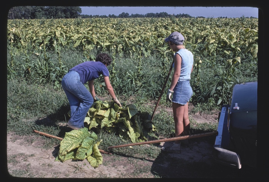
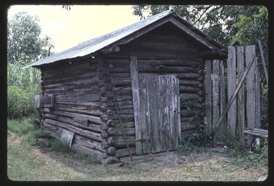
Taken for the Office of War Information and the Farm Security Administration, who photographed the country between 1935 and 1944. Works of United States government photographers, with no known restriction on use. Each opens its catalogue record.

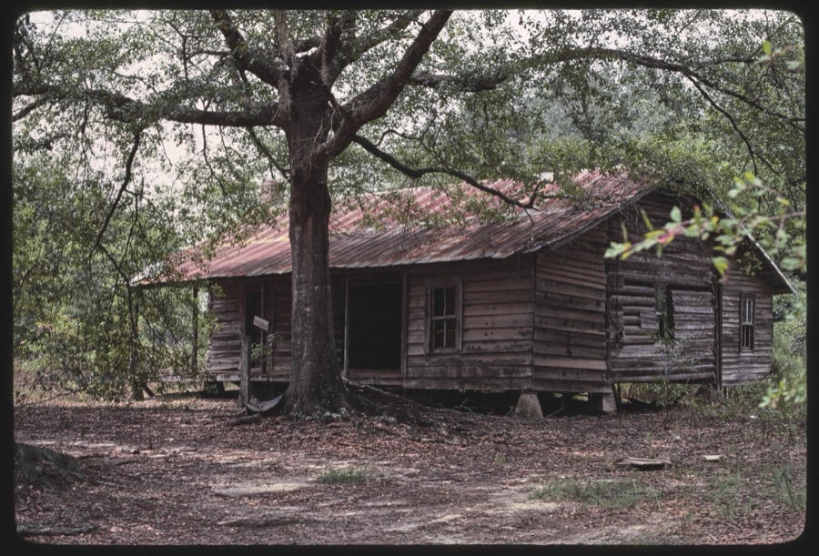
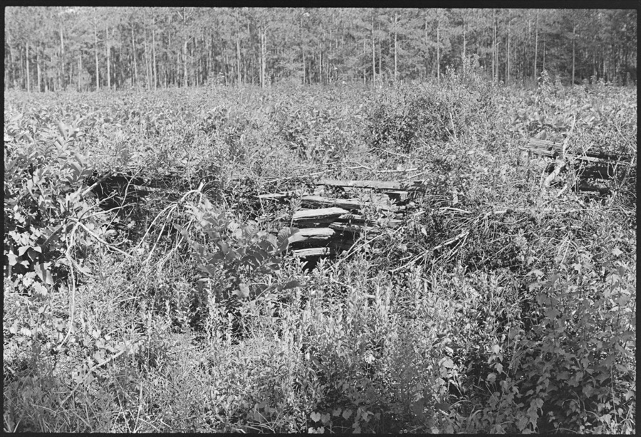


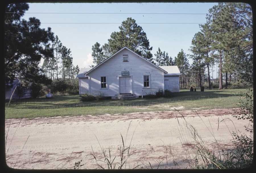
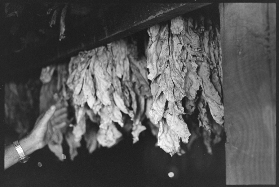
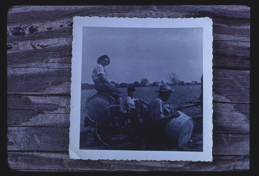
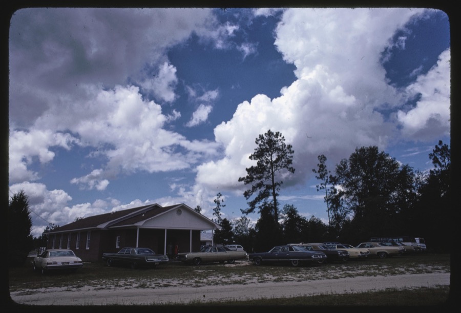

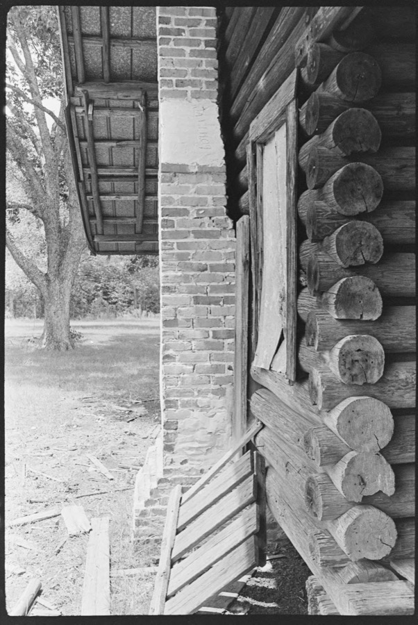
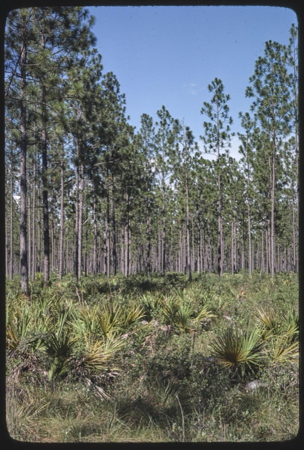


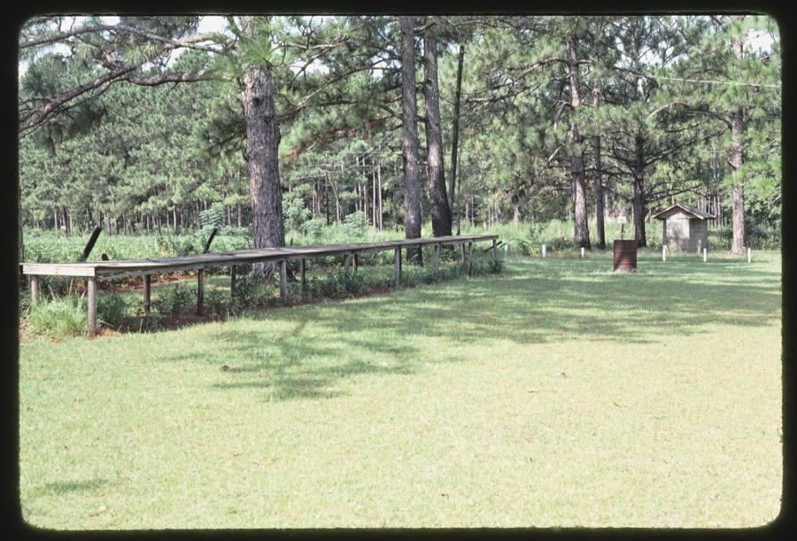
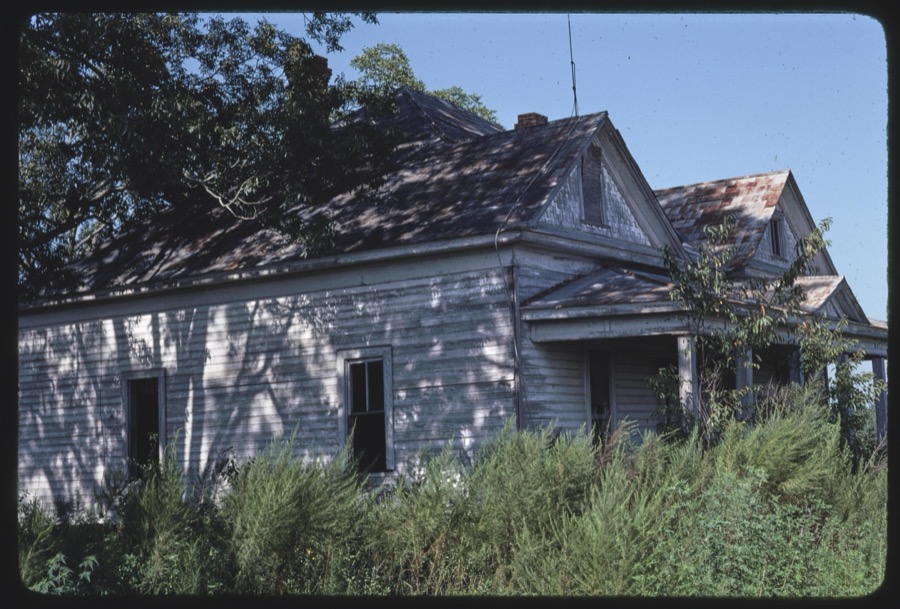
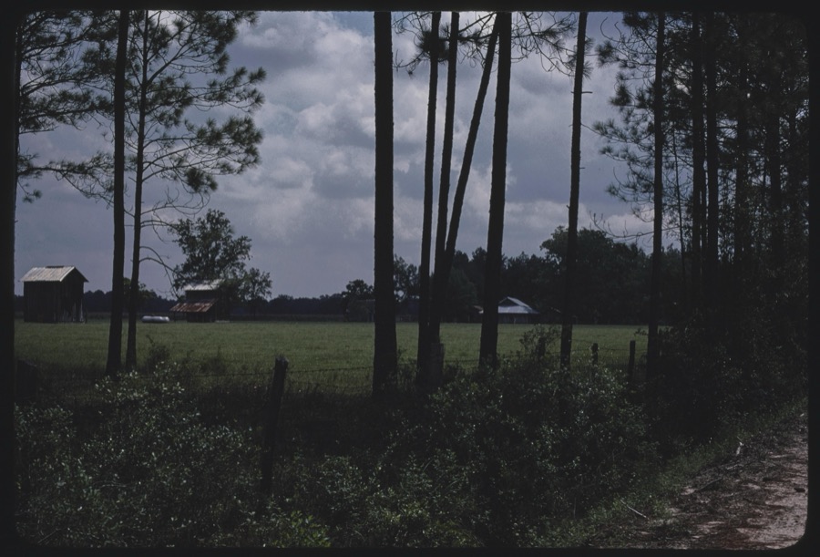
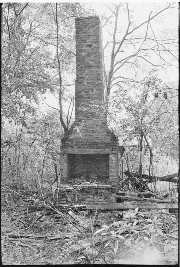


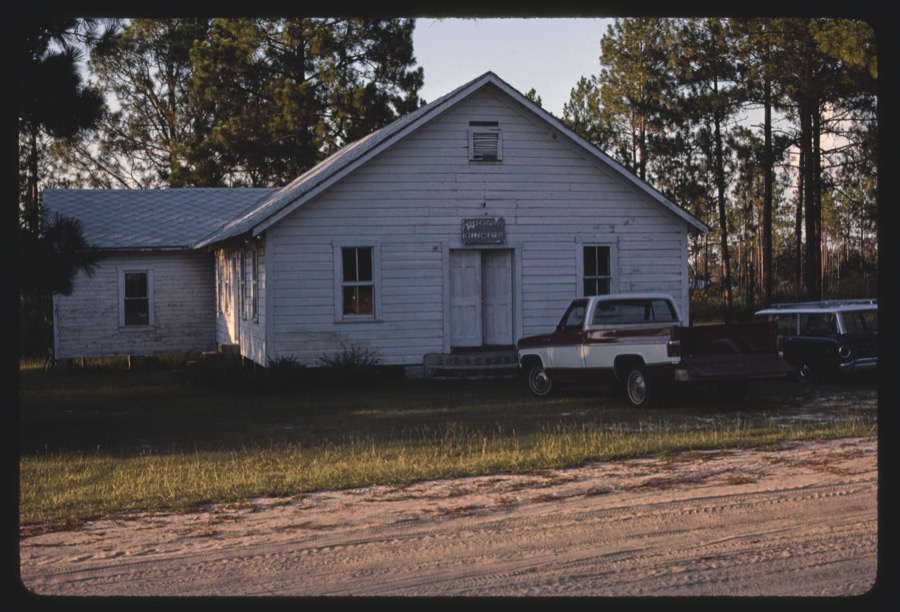
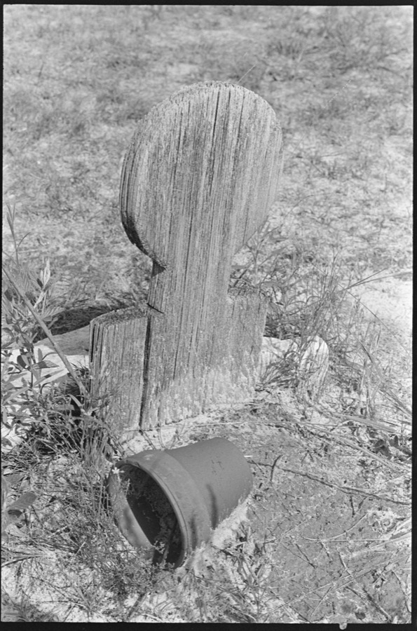
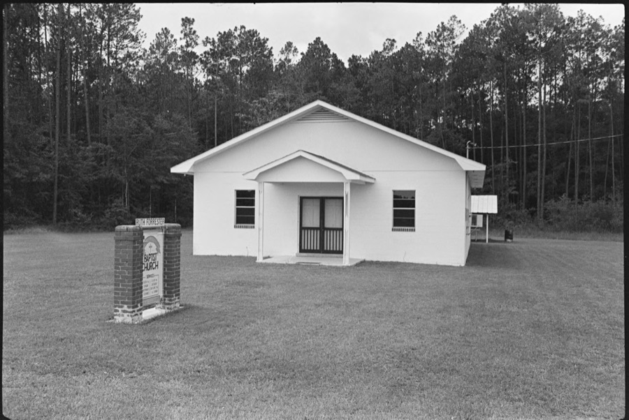
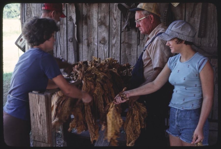



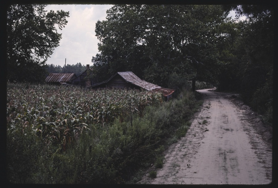


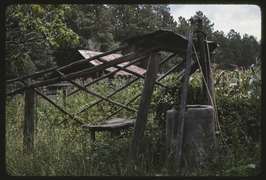
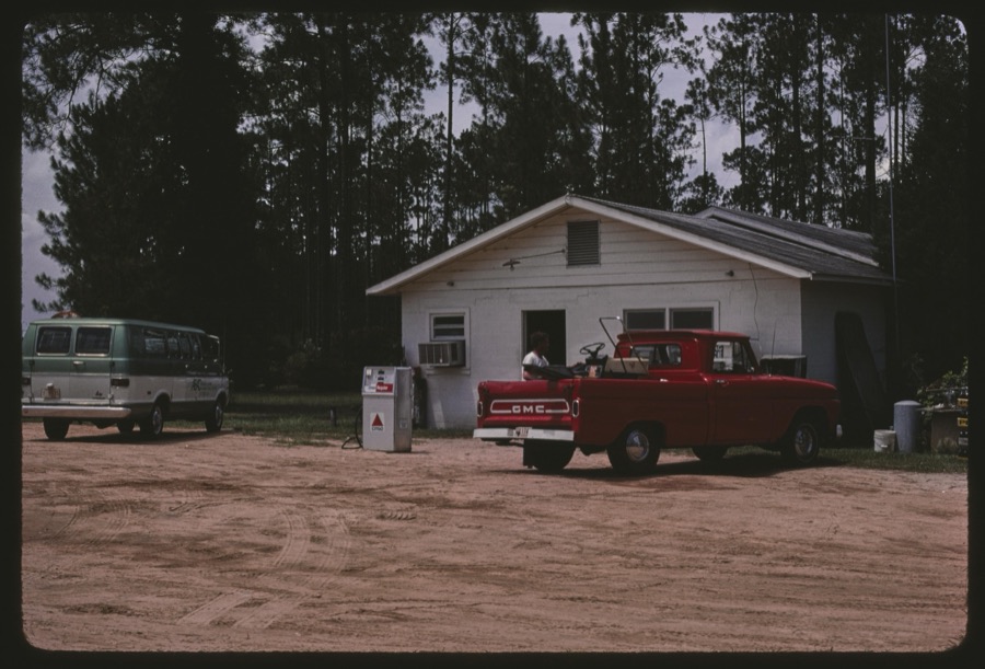
Every property in this county listed on the National Register of Historic Places, with the year it was listed and the federal nomination document.
| Photograph | Property | Type | Listed | Reference |
|---|---|---|---|---|
 | Alapaha Colored School | building | 2002 | 02000758 |
 | Berrien County Courthouse | building | 1977 | 77000409 |
 | Berrien County Jail | building | 1982 | 82002384 |
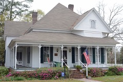 | William G. Harrison House | building | 1995 | 94001636 |
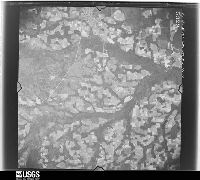
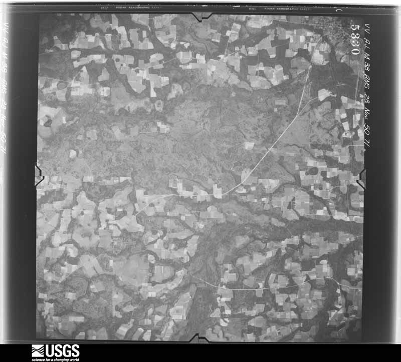
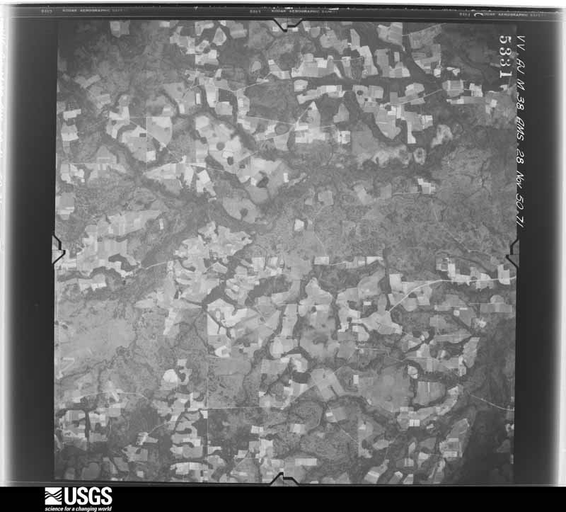
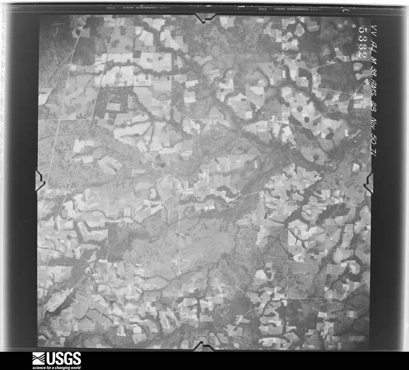
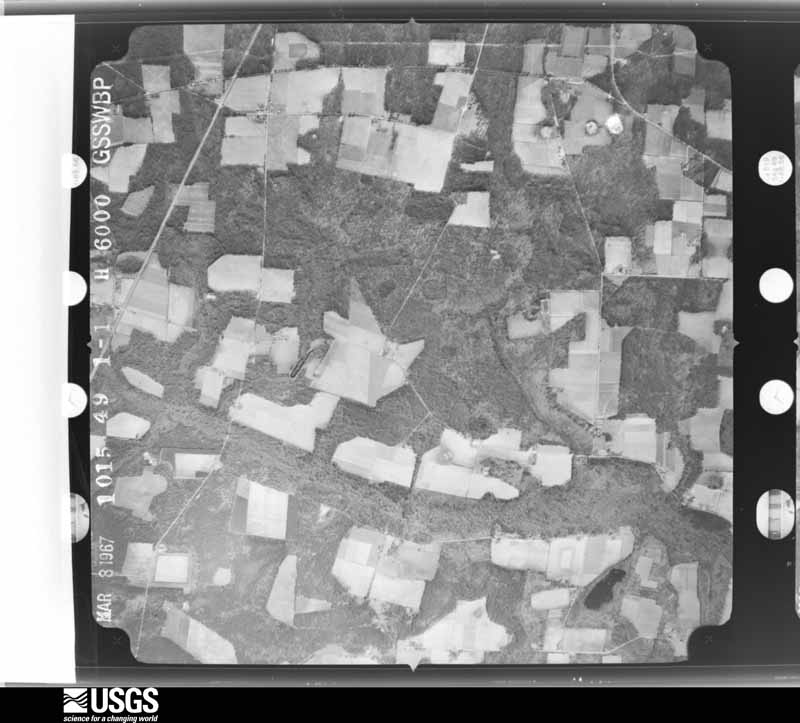
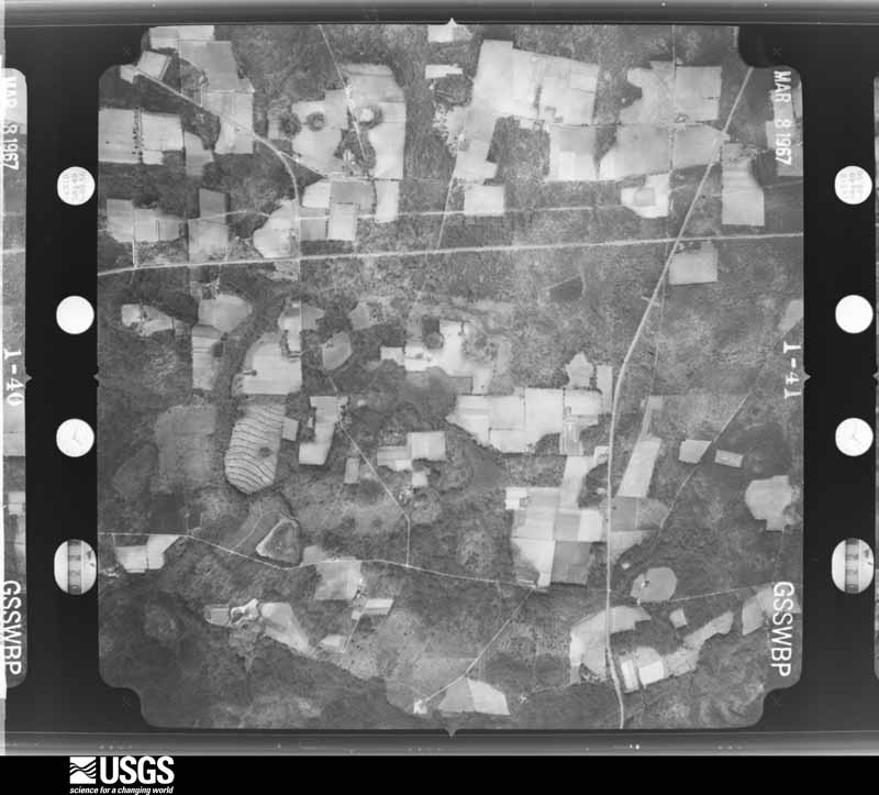
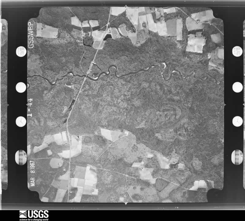
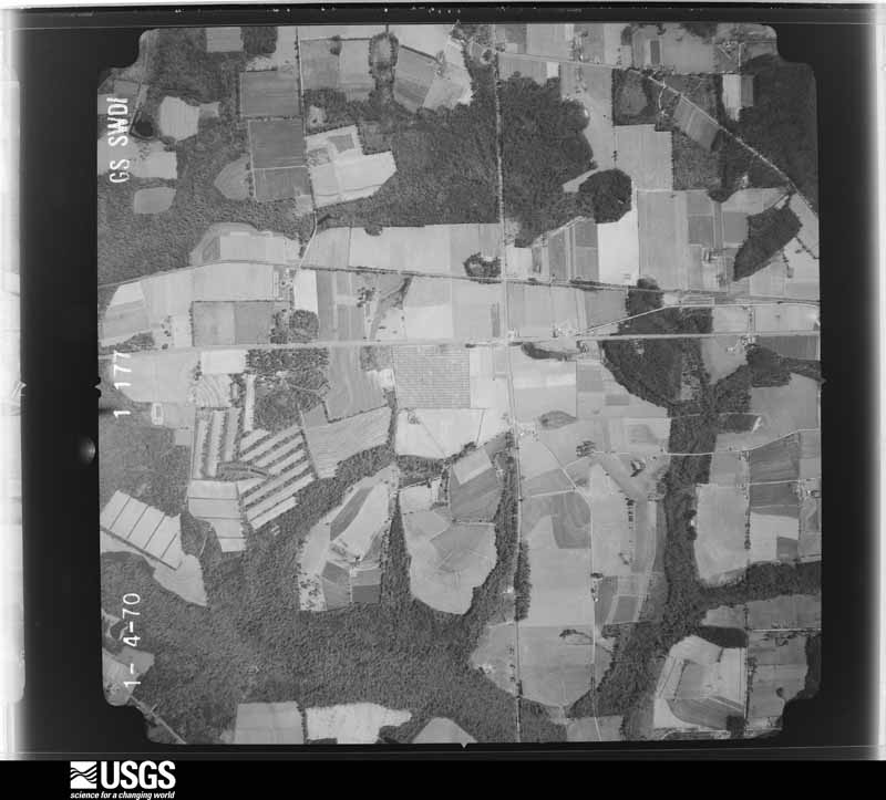
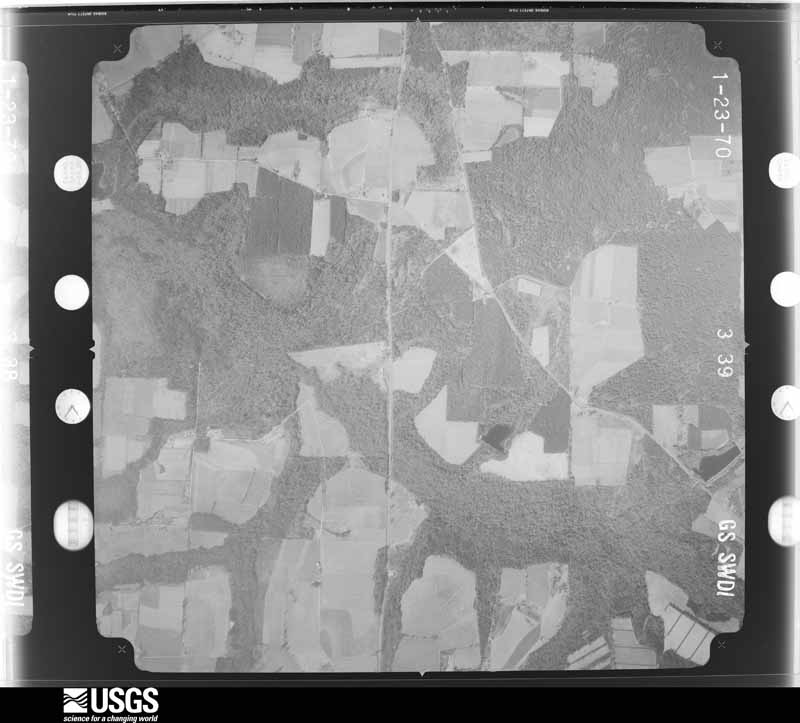
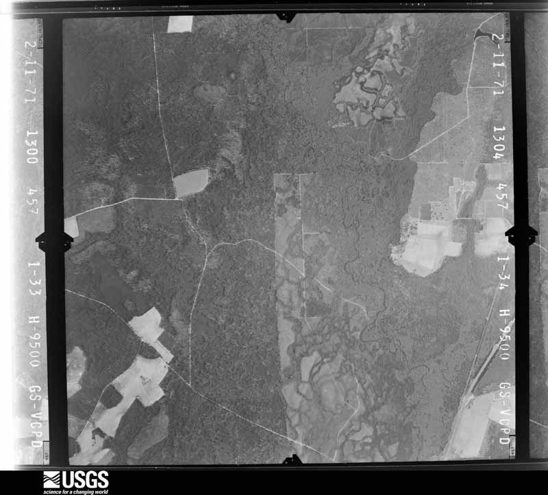
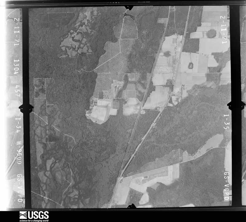
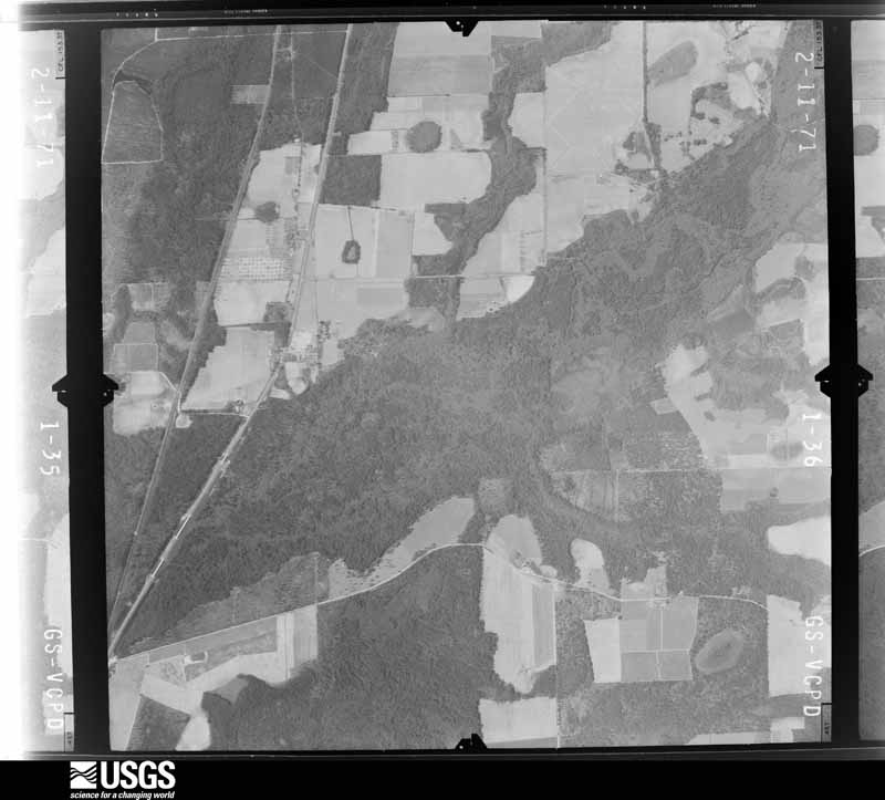
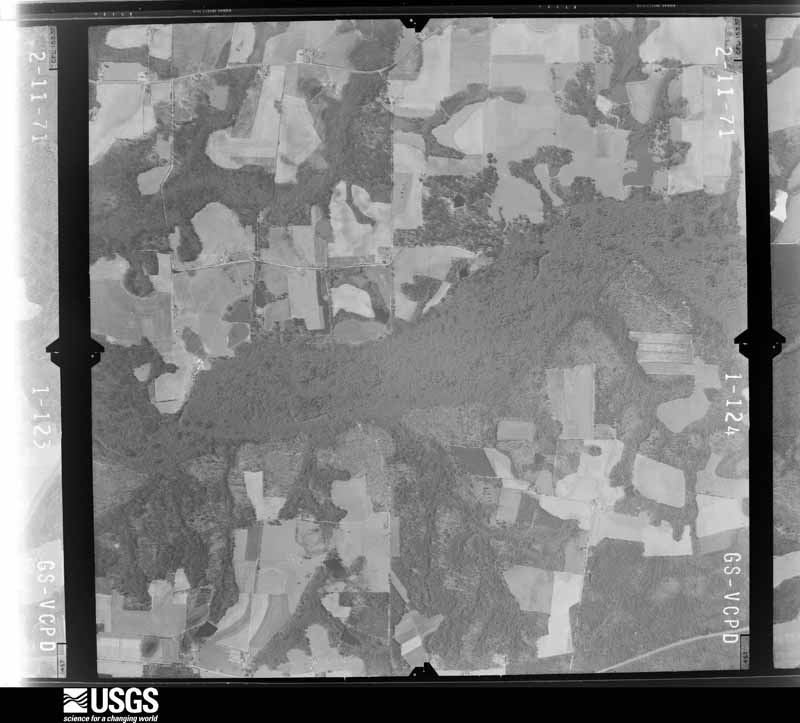
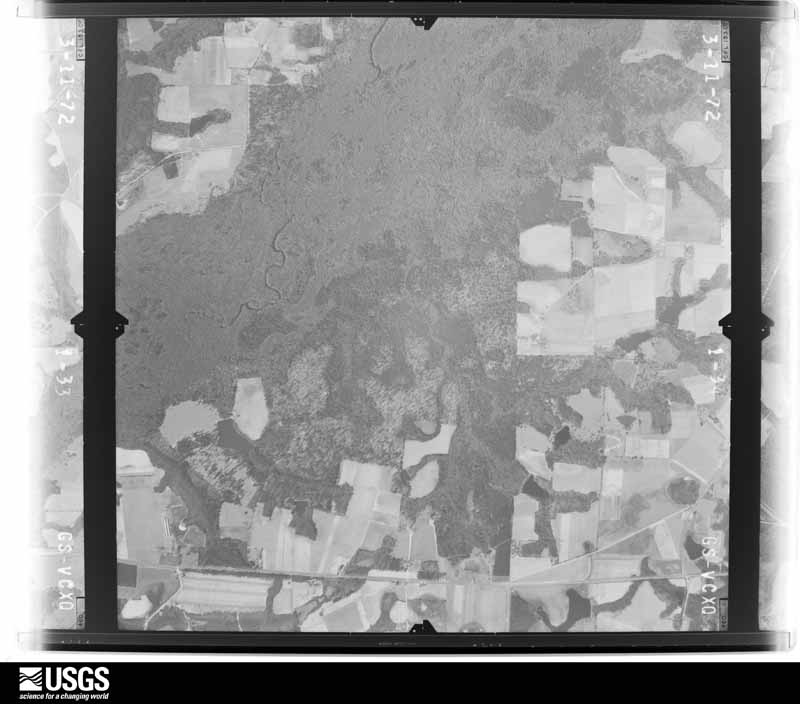
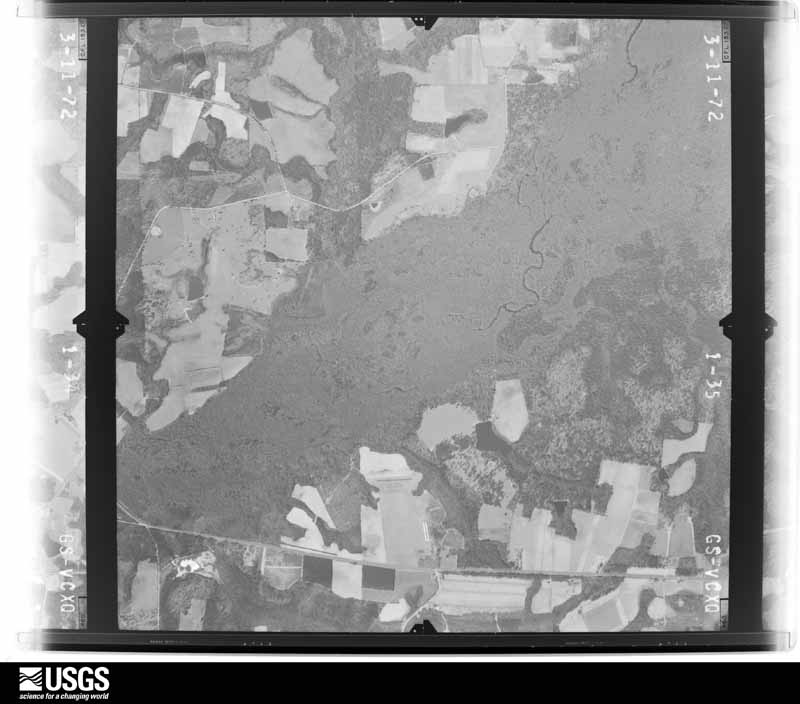
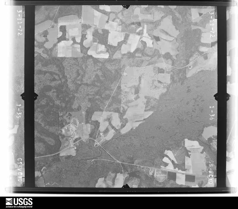
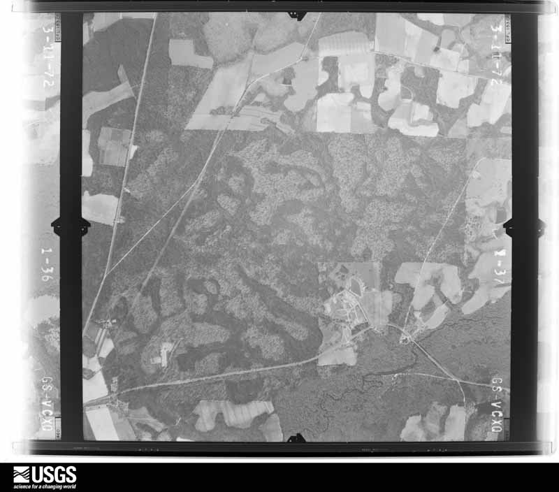
Flown by the U.S. Geological Survey between 1937 and 1989, the Aerial Photo Single Frames collection is the definitive mid-century view of the land: fields, roads and rivers as the camera saw them. The Survey holds 635 frames inside the rectangle that bounds this county; the 17 frames below were taken over the county itself, chosen across the decades of flights (at most four a year from that rectangle), so one flight cannot crowd out the rest. The full set is free to browse and download at EarthExplorer under the dataset Aerial Photo Single Frames.
The thermometers that kept this county's weather, and the gages that measured the flow of its streams, as the federal records hold them. The extremes below are measured values from those records, not estimates.
Who lived here in 1950, one enumeration district at a time, as the Census Bureau described each district. Each row opens its official National Archives result, with Population Schedules and ED Maps available there.
Every wildfire the federal occurrence database records inside this county: 1,833 of them, burning about 8,458 acres. 87 started naturally and 148 were recorded as arson. Each settlement page carries the fires within five miles of it.
| Reported cause | Fires |
|---|---|
| Debris and open burning | 1368 |
| Arson/incendiarism | 148 |
| Equipment and vehicle use | 98 |
| Natural | 87 |
| Smoking | 45 |
| Missing data/not specified/undetermined | 43 |
| Recreation and ceremony | 25 |
| Misuse of fire by a minor | 19 |
The five largest, by the area the report gives. Two of them were set deliberately.
| Date | Cause | Size | Reported by | Name on the report |
|---|---|---|---|---|
| 7 May 2007 | Arson/incendiarism | 640 acres | Georgia Forestry Commission | not named |
| 19 January 2002 | Debris and open burning | 260 acres | Georgia Forestry Commission | FY2002-BERRIEN-048 |
| 8 February 2012 | Debris and open burning | 252 acres | Georgia Forestry Commission | FY2012-BERRIEN-036 |
| 22 March 2009 | Debris and open burning | 222 acres | Georgia Forestry Commission | not named |
| 23 May 2012 | Natural | 128 acres | Georgia Forestry Commission | FY2012-BERRIEN-061 |
| 19 May 1998 | Arson/incendiarism | 122 acres | Georgia Forestry Commission | not named |
| 19 September 1995 | Debris and open burning | 118 acres | Georgia Forestry Commission | not named |
| 8 April 2009 | Debris and open burning | 115 acres | Georgia Forestry Commission | not named |
Every settlement page carries the fires within five miles of it - see the settlement index below.
The NOAA Storm Events Database holds 228 reports for this county, causing 2 deaths, 14 injuries and about $5,107,750 in recorded property damage. Each settlement page carries the reports that name it.
| Kind of event | Reports |
|---|---|
| Thunderstorm Wind | 156 |
| Hail | 26 |
| Flash Flood | 25 |
| Tornado | 13 |
| Lightning | 3 |
| Funnel Cloud | 2 |
| Heavy Rain | 2 |
| Winter Storm | 1 |
The most serious of them, by death, then injury, then recorded damage. The accounts are quoted exactly as the forecast office filed them.
| When | Event | Place named | Harm | What the report says |
|---|---|---|---|---|
| January 2017 | Tornado (EF3) | New Lois | 2 killed, $500,000 | The EF3 tornado from northeast Brooks and Cook counties progressed into Berrien County where it completely removed the second story of a wood frame home on South Coffee Road. Just up the road, a well-strapped double wide home was completely removed and tossed into nearby trees and hedges. The last of the EF3 damage occurred on Old Lois Road where most of the roof of a brick home was removed. An add-on room on the back of the home was flattened by a massive live oak tree crushing two occupants to death in their bed. The tornado continued past Old Valdosta Road stripping bark from several trees in the area and then produced EF2 damage just past U.S. Route 129 on County Road before lifting. Damage cost was estimated. |
| May 1952 | Tornado (F3) | not stated | 10 hurt, $2,500,000 | no account filed |
| April 1974 | Tornado (F1) | not stated | 4 hurt, $250,000 | no account filed |
| July 2009 | Thunderstorm Wind | Nashville | $300,000 | Straight line winds toppled numerous trees and power lines from Nashville east to State Highway 135. Two homes were set ablaze due to downed power lines. Trees fell on several homes and vehicles in Nashville. |
| December 1973 | Tornado (F0) | not stated | $250,000 | no account filed |
| June 1962 | Tornado (F1) | not stated | $250,000 | no account filed |
| May 2024 | Thunderstorm Wind | Gladys | $100,000 | Damage to homes, vehicles, barns, chicken houses, and crops occurred across northern Berrien county. Trees were blown down on cars and homes with power lines down as well. |
| September 2000 | Flash Flood | Countywide | $75,000 | Flood waters closed several county roads. Reported by the Berrien County EMA. |
| December 2000 | Lightning | Nashville | $75,000 | Lightning sparked a fire which completely destroyed the interior of the Berrien Press building. Reported by the Berrien Press. |
| July 2012 | Thunderstorm Wind | Nashville | $60,000 | Several trees were blown down by downburst winds about 5 miles east of Nashville. A few of the trees were large, and one tree fell on a mobile home and destroyed it. Monetary damage was estimated. |
| May 2024 | Thunderstorm Wind | Alapaha | $50,000 | A tree was blown down onto a home along Wycliff Roberts Road. |
| April 2020 | Tornado (EF0) | Ray City | $50,000 | A brief tornado touched down in Ray City, with damage to trees and minor damage to structures. The tornado moved east out of Ray City and dissipated before reaching Lakeland. Straight line winds damage was observed however in Lanier County from U.S. Route 129 through parts of Lakeland to near the Clinch County line. Max winds were estimated near 80 mph. |
| July 2009 | Thunderstorm Wind | Alapaha | $50,000 | Straight line winds downed many trees and power lines. Some structural damage occurred from fallen trees. |
| July 2009 | Thunderstorm Wind | Ray City | $50,000 | A few homes were damaged by fallen trees in Ray City. |
| June 2007 | Thunderstorm Wind | Alapaha | $50,000 | Numerous trees and utility poles down in Alapaha. U.S. Highway 82 and several streets were blocked by fallen trees. Some area structures were damaged. Parts of the city experienced power outages for several hours. |
| August 2003 | Lightning | Nashville | $50,000 | A home was gutted by fire as a result of a lightning strike. Reported by the Berrien County-Nashville Press. |
| July 2010 | Thunderstorm Wind | Ray City | $30,000 | Several trees and power lines were blown down, including some trees up to 3 to 4 feet in diameter that fell on houses. The monetary damage figure provided is a rough estimate. |
| August 2023 | Thunderstorm Wind | Nashville | $25,000 | Trees and power lines were blown down with a roof blown off of a building in the Nashville area. |
| August 2023 | Thunderstorm Wind | Nashville | $25,000 | A roof was blown off a pawn shop with trees down in the yard of a residence. |
| April 2020 | Thunderstorm Wind | Ray City | $25,000 | A tree was blown down onto a house. |
| April 2020 | Thunderstorm Wind | Ray City | $25,000 | Numerous trees were blown down, particularly across the southern portions of the county. A tree was blown onto a house on Park Street. Trees were down on Possum Creek Road, Jones Road, Allenville Road, Turtle Dove Lane, Old Mill Town Road, Highway 168, and May Road. |
| March 2016 | Thunderstorm Wind | Nashville | $25,000 | An oak tree was blown down near Nashville with other roof damage reported in the area. Damage was estimated. |
| July 1991 | Tornado (F1) | not stated | $25,000 | no account filed |
| January 1975 | Tornado (F1) | not stated | $25,000 | no account filed |
| June 1997 | Hail | Nashville | $20,000 | Large hail fell across eastern parts of the county according to the sheriffs office. |
| May 2006 | Thunderstorm Wind | Countywide | $10,000 | The Berrien County Sheriff reported a few trees down throughout the county. A roof was blown off a building. |
| June 2001 | Thunderstorm Wind | Countywide | $10,000 | Trees and power lines down on Old Valdosta Highway. Reported by the Berrien County Sheriff. |
| February 1998 | Lightning | Ray City | $10,000 | Lightning struck the main water pump servicing Ray City. Water service restored within 48 hours. |
| June 2011 | Thunderstorm Wind | Nashville | $8,000 | Multiple trees and power lines were blown down. The monetary damage figure provided is a rough estimate. |
| June 2011 | Thunderstorm Wind | Enigma | $8,000 | Multiple trees and power lines were blown down. The monetary damage figure provided is a rough estimate. |
| June 2011 | Thunderstorm Wind | Alapaha | $8,000 | Multiple trees and power lines were blown down. The monetary damage figure provided is a rough estimate. |
| March 2013 | Thunderstorm Wind | Nashville | $7,000 | Multiple trees and power lines were blown down within the Nashville city limits. Monetary damage was estimated. |
| June 2010 | Thunderstorm Wind | Alapaha | $6,250 | The Berrien County 911 center reported trees and power lines down along Highway 129. The monetary damage figure provided is a rough estimate. |
| June 2011 | Thunderstorm Wind | Nashville | $6,000 | Multiple trees and power lines were reported down in Nashville. The monetary damage figure provided is a rough estimate. |
| May 2024 | Thunderstorm Wind | Enigma | $5,000 | There were numerous trees and power lines down across the northern end of Berrien county. |
| July 2024 | Flash Flood | Nashville | $5,000 | Several roads were flooded in Nashville with water entering a couple of businesses. |
| November 2024 | Flash Flood | Nashville | $5,000 | The South Health District Facebook page reported that the lobby of the Berrien County Health Department was flooded. |
| March 2019 | Thunderstorm Wind | Enigma | $5,000 | Power poles were snapped and a tractor trailer tipped over in the media of Highway 82 near Enigma. |
| July 2015 | Thunderstorm Wind | Enigma | $5,000 | Multiple trees and power lines were blown down in the northern part of Berrien county. |
| February 2012 | Thunderstorm Wind | Nashville | $5,000 | Trees were blown down and caused power outages. Monetary damage was estimated. |
| May 2009 | Thunderstorm Wind | New Lois | $5,000 | Several trees were blown down across Webb Drive west of Ray City. One tree fell on an unoccupied vehicle. |
| July 2009 | Thunderstorm Wind | Allenville | $5,000 | Numerous trees and power lines were down five to ten miles southeast of Nashville. Several county roads were littered with debris. |
| December 2002 | Thunderstorm Wind | Countywide | $5,000 | Numerous downed trees reported by GEMA. |
| June 1998 | Thunderstorm Wind | Countywide | $5,000 | Trees and power lines down countywide. |
| June 1994 | Tornado (F0) | Nashville | $5,000 | A small and short-lived tornado was reported by county emergency management officials to skip along Georgia Highway 135. A path of downed trees and power lines was the only known damage. |
| June 1994 | Thunderstorm Wind | Enigma | $5,000 | Several trees were downed by thunderstorm winds along U.S. Highway 82. |
| June 1994 | Thunderstorm Wind | Nashville | $5,000 | Several trees were downed by thunderstorm winds along U.S. Highway 129. |
| June 2023 | Thunderstorm Wind | Nashville | $4,000 | Trees were blown down across power lines. |
| June 2023 | Thunderstorm Wind | Weber | $3,000 | A carport collapsed with trees blown down. |
| July 2021 | Thunderstorm Wind | Nashville | $3,000 | Numerous trees and power lines were blown down across the county. |
| April 2016 | Thunderstorm Wind | Weber | $3,000 | Trees and power lines were blown down along Radio Station Road. |
| June 2016 | Thunderstorm Wind | Nashville | $3,000 | A few power lines were blown down in Nashville. Damage was estimated. |
| July 2016 | Thunderstorm Wind | Nashville | $3,000 | Several trees were blown down, including some on power lines. |
| August 2013 | Thunderstorm Wind | Ray City | $3,000 | Several trees were blown down, including one over power lines. |
| July 2012 | Thunderstorm Wind | Enigma | $3,000 | Berrien county 911 dispatch reported several trees down in the Enigma area. Monetary damage was estimated. |
| May 2012 | Thunderstorm Wind | Alapaha | $3,000 | Trees were blown down around Alapaha. Monetary damage was estimated. |
| June 2011 | Thunderstorm Wind | Ray City | $3,000 | Several trees were blown down north of Ray City. The monetary damage figure provided is a rough estimate. |
| June 2011 | Thunderstorm Wind | Ray City | $3,000 | Several trees were blown down in Ray City. The monetary damage figure provided is a rough estimate. |
| June 2009 | Thunderstorm Wind | Alapaha | $3,000 | Trees and power lines down with scattered power outages west and southwest of Alapaha. |
| June 2010 | Thunderstorm Wind | Enigma | $2,500 | Multiple trees were blown down in the northwest portion of Berrien county. The monetary damage figure provided is a rough estimate. |
The Survey's mineral resources record lists 1 working inside this county. It is closed or unrecorded. Each settlement page carries the workings within five miles of it.
| Commodity | Workings |
|---|---|
| Aluminum | 1 |
The least common of them first, because a county's hundredth gravel pit says nothing its first ten did not.
| Where | Site | Commodity | Status | Recorded |
|---|---|---|---|---|
| Wood Property | Aluminum | Prospect |
Named settlements recorded in the Geographic Names Information System, each with the topographic sheets covering it. Villages, hamlets and abandoned places alike. Each is shown with the nearest named watercourse or landform and the survey quadrangle it falls on. The 1 place that was also surveyed for fire insurance comes first, with the number of atlases and photographs held for them.
Nashville census division · 31639 · On Futch Branch · Nashville West quadrangle
8 sheets, 1953 to 1988
Fire insurance: 2 atlases
Nashville census division · 31639 · On Wolf Branch · Nashville West quadrangle
8 sheets, 1953 to 1988
Ray City census division · 31645 · On Batterbee Branch · Ray City quadrangle
8 sheets, 1953 to 1988