 Block
From the record
3 National Register listings published here.
Sources: the National Register database, National Park Service
18 topographic sheets and 8 fire insurance atlases across 1 place.
3 National Register listings published here.
Sources: the National Register database, National Park Service
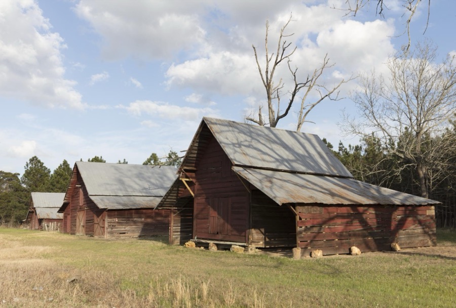
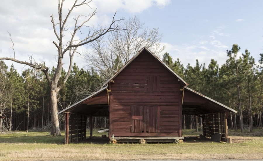
Taken for the Office of War Information and the Farm Security Administration, who photographed the country between 1935 and 1944. Works of United States government photographers, with no known restriction on use. Each opens its catalogue record.
Every property in this county listed on the National Register of Historic Places, with the year it was listed and the federal nomination document.
| Photograph | Property | Type | Listed | Reference |
|---|---|---|---|---|
 | Bleckley County Courthouse | building | 1980 | 80000975 |
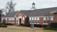 | Cochran Municipal Building and School | building | 2003 | 03000704 |
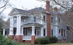 | Hillcrest | building | 1983 | 83000184 |
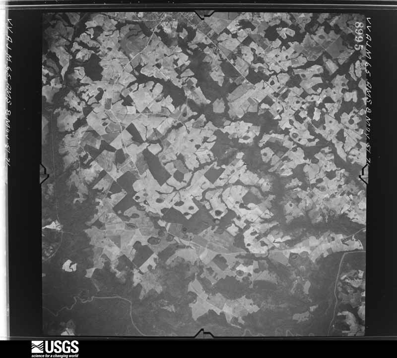
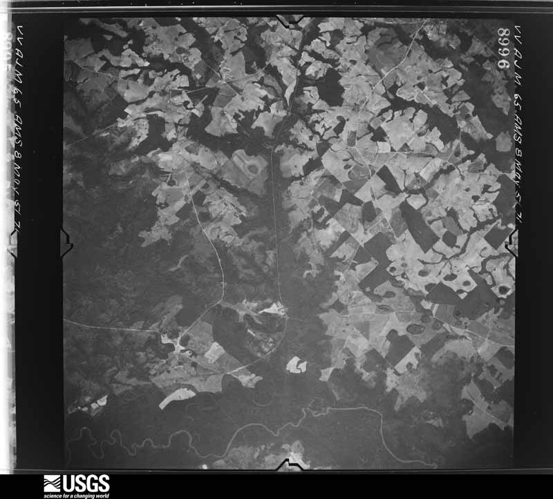
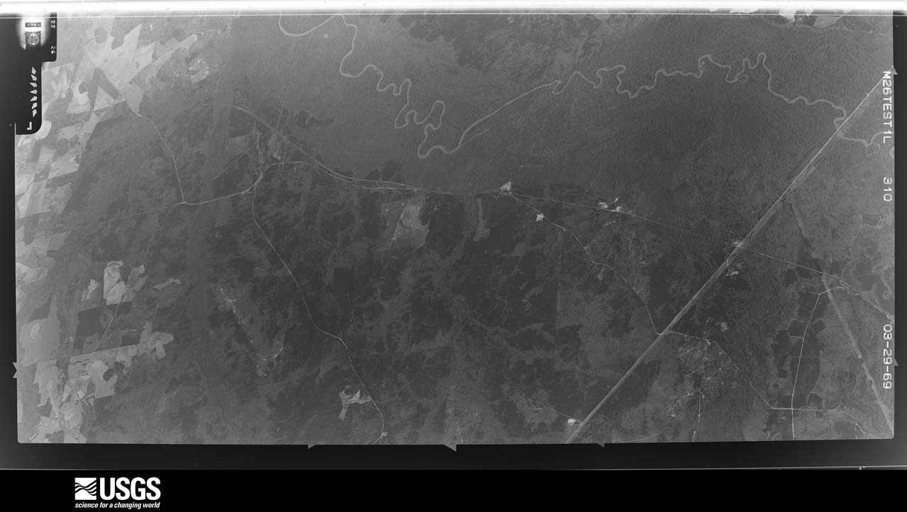
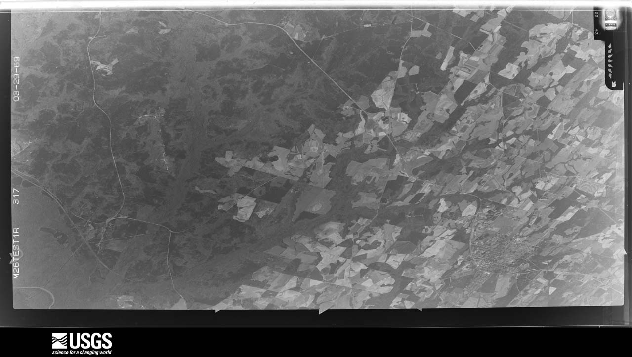
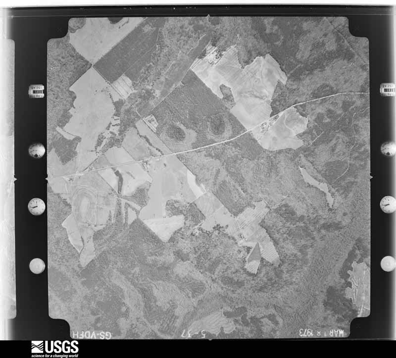
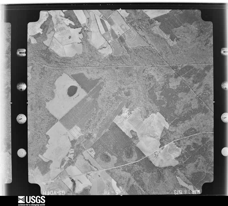
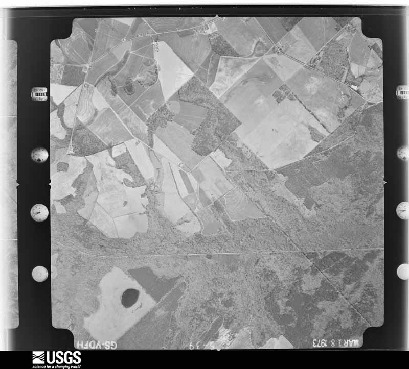
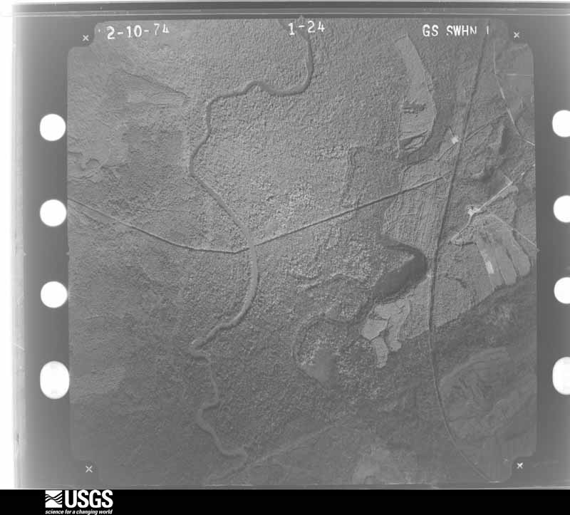
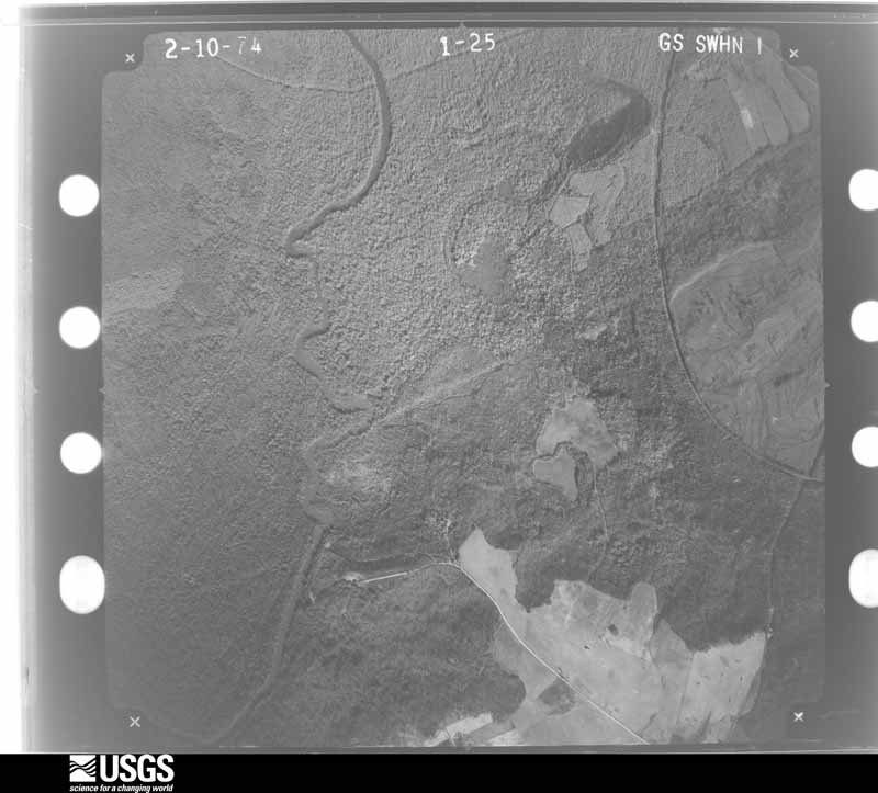
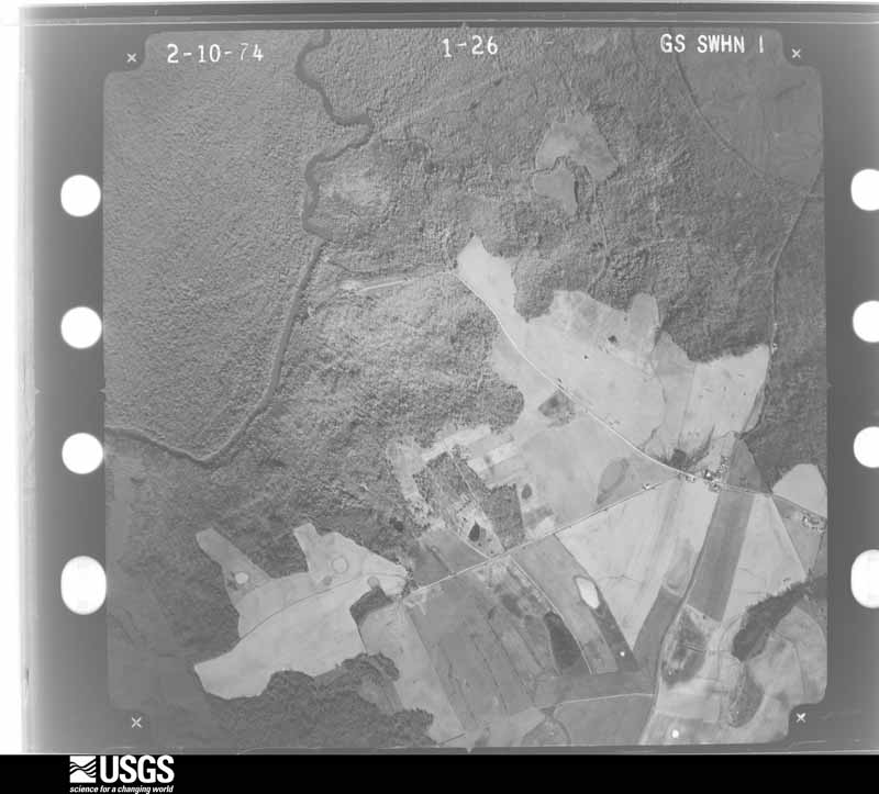
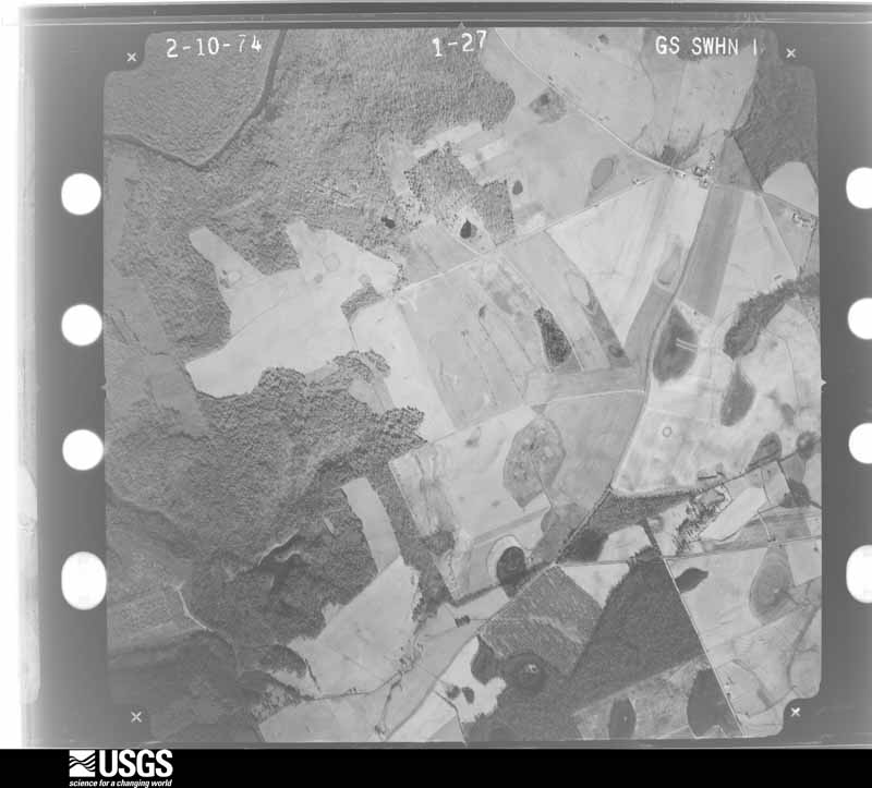
Flown by the U.S. Geological Survey between 1937 and 1989, the Aerial Photo Single Frames collection is the definitive mid-century view of the land: fields, roads and rivers as the camera saw them. The Survey holds 440 frames inside the rectangle that bounds this county; the 14 frames below were taken over the county itself, chosen across the decades of flights (at most four a year from that rectangle), so one flight cannot crowd out the rest. The full set is free to browse and download at EarthExplorer under the dataset Aerial Photo Single Frames.



The thermometers that kept this county's weather, as the federal records hold them. The extremes below are measured values from those records, not estimates.
Who lived here in 1950, one enumeration district at a time, as the Census Bureau described each district. Each row opens its official National Archives result, with Population Schedules and ED Maps available there.
Every wildfire the federal occurrence database records inside this county: 1,222 of them, burning about 4,379 acres. 40 started naturally and 28 were recorded as arson. Each settlement page carries the fires within five miles of it.
| Reported cause | Fires |
|---|---|
| Debris and open burning | 908 |
| Equipment and vehicle use | 91 |
| Smoking | 55 |
| Natural | 40 |
| Misuse of fire by a minor | 28 |
| Arson/incendiarism | 28 |
| Recreation and ceremony | 26 |
| Missing data/not specified/undetermined | 25 |
| Railroad operations and maintenance | 21 |
The five largest, by the area the report gives. None of them was recorded as arson.
| Date | Cause | Size | Reported by | Name on the report |
|---|---|---|---|---|
| 28 February 2004 | Debris and open burning | 84 acres | Georgia Forestry Commission | not named |
| 25 June 2006 | Equipment and vehicle use | 81 acres | Georgia Forestry Commission | not named |
| 7 November 2016 | Debris and open burning | 74 acres | Georgia Forestry Commission | FY2017-BLECKLEY-019 |
| 25 May 2012 | Debris and open burning | 68 acres | Georgia Forestry Commission | FY2012-BLECKLEY-055 |
| 8 June 1993 | Equipment and vehicle use | 58 acres | Georgia Forestry Commission | not named |
| 18 March 2019 | Debris and open burning | 48 acres | Georgia Forestry Commission | FY2019BLECKLEY008 |
| 18 July 2009 | Debris and open burning | 38 acres | Georgia Forestry Commission | not named |
| 11 June 2008 | Natural | 38 acres | Georgia Forestry Commission | not named |
Every settlement page carries the fires within five miles of it - see the settlement index below.
The NOAA Storm Events Database holds 128 reports for this county, causing no deaths, 28 injuries and about $2,285,600 in recorded property damage. Each settlement page carries the reports that name it.
| Kind of event | Reports |
|---|---|
| Thunderstorm Wind | 80 |
| Hail | 23 |
| Tornado | 19 |
| Flash Flood | 3 |
| Lightning | 2 |
| Winter Storm | 1 |
The most serious of them, by death, then injury, then recorded damage. The accounts are quoted exactly as the forecast office filed them.
| When | Event | Place named | Harm | What the report says |
|---|---|---|---|---|
| January 1958 | Tornado (F2) | not stated | 16 hurt, $250,000 | no account filed |
| March 1972 | Tornado (F2) | not stated | 12 hurt, $250,000 | no account filed |
| December 2000 | Thunderstorm Wind | Cochran | $500,000 | The Bleckley county 911 center reported that a couple of cell phone towers were blown down. |
| March 2007 | Tornado (EF0) | Cary | $250,000 | A damage survey conducted by the National Weather Service in Peachtree City concluded that an EF0 tornado touched down in extreme northern Bleckley county about two miles north-northeast of Cary, very near the Twiggs county line, and tracked east-northeast just south of the Twiggs county line to about 0.5 mile west of Brown Hill. The overall path length of the tornado was 1.0 mile with a maximum path width of 1/4 mile. The tornado touched down on Emergency Road 266 where several outbuildings and a number of trees were blown down. Three homes sustained moderate roof damage and a couple of homes had their patio covers destroyed. The back porch of a business along Interstate-16 in extreme northeast Bleckley was also destroyed. |
| November 1992 | Tornado (F1) | not stated | $250,000 | no account filed |
| May 2009 | Thunderstorm Wind | Cochran | $125,000 | The Bleckley County Emergency Management Director and Macon television stations reported extensive wind damage in the southern part of Bleckley county. Several dozen trees trees and many power lines were down, especially in the vicinity of Mac Thompson Road and Chicken Road. Structural damage was also observed. Some 20 to 25 homes sustained minor damage from downed trees. One mobile home sustained significant damage when a tree fell on the structure. A horse barn near the intersection of Mac Thomsron Road and Chicken Road collapsed during the strong winds. A horse inside was initially rescued from the fallen structure, but later died from injuries. |
| March 2005 | Flash Flood | Countywide | $100,000 | The Bleckley County Emergency Management Director reported that extensive flooding was occurring in many areas of the county. U.S. Highway 129 was closed east of Cochran because of flooding. Several small dams in the county had been breached. Rainfall of four to six inches was common throughout the county, with local amounts up to eight inches. |
| May 2003 | Thunderstorm Wind | Cary | $80,000 | The public reported a 15-mile long path of damage across northeast Bleckley county, beginning near Cary and terminating near Rebie, along which numerous trees were blown down, a 20-foot high empty water tank was blown over, a barn was destroyed, and a house suffered minor damage. While much of the damage was caused by strong straight-line thunderstorm winds, a survey conducted by the National Weather Service Forecast Office in Peachtree City, concluded that a severe microburst or gustnado, moving in a southeastward direction, affected a small area approximately 60 yards wide and 200 yards long beginning approximately two miles northwest of Goldsboro along Georgia Highway 278,. Numerous trees were blown down along Georgia Highway 278, all felled to the north, while other trees, blown down approximately one mile south of this location, were felled to the south. Residents reported seeing a funnel cloud in the Cary area. |
| May 2003 | Thunderstorm Wind | Countywide | $75,000 | The public reported that a number of trees and power lines were blown down across the county. The old water tower on Dublin Highway in Cochran was blown down and another residence on Duskin Drive in Cochran suffered damage when a tree fell on the house. |
| July 2000 | Thunderstorm Wind | Cochran | $50,000 | The public reported that 3 barns were severely damaged. |
| January 2017 | Tornado (EF1) | Five Points | $30,000 | A National Weather Service survey team found that an EF1 tornado with maximum wind speeds of 95 MPH and a maximum path width of 100yards occurred in eastern Bleckley County northeast of Cochran. The tornado began just west of Churchwell Road where it downed several trees and a fence as well as lifting much of the roof off of a small barn. The tornado continued northeast downing more trees on Butts Road then increased in strength as it snapped 20 to 30 large trees and power poles in a small subdivision on Emergency Road 445A off of Highway 26. The tornado weakened but still damaged an abandoned fire station on Emergency Road 450R at Highway 26 before ending around Cary Salem Road. [01/21/17: Tornado #14, County #1/1, EF1, Bleckley, 2017:015]. |
| May 1989 | Tornado (F1) | not stated | $25,000 | no account filed |
| June 1974 | Tornado (F1) | not stated | $25,000 | no account filed |
| January 1972 | Tornado (F1) | not stated | $25,000 | no account filed |
| January 1971 | Tornado (F2) | not stated | $25,000 | no account filed |
| June 1961 | Tornado (F2) | not stated | $25,000 | no account filed |
| January 2017 | Tornado (EF1) | Coley | $20,000 | A National Weather Service survey team found that an EF1 tornado with maximum wind speeds of 95 MPH and a maximum path width of 100 yards began along Highway 23 just south of Antioch Road where a few trees were snapped or uprooted. Numerous other trees were snapped or uprooted as the tornado travelled northeast Lucas road to around the intersection of Tom Porter Road and Daisy Adams Road where it ended. [01/21/17: Tornado #3, County #1/1, EF1, Bleckley, 2017:027]. |
| April 2009 | Thunderstorm Wind | Cochran | $20,000 | The Bleckley County Emergency Management Director reported that at least 30 medium size pine trees were either blown down or snapped in half in the Cochran area. Several center pivot irrigation units were turned over. A witness in Cochran noted the strong straight-line winds when his full-size Ford pickup truck was blown around. Several other trees and power lines were also down on Magnolia Road in northwest Bleckley county and in northeast Bleckley county on Cary Road. |
| July 2000 | Thunderstorm Wind | Countywide | $15,000 | The Bleckley county 911 center reported trees down countywide. |
| January 2017 | Tornado (EF0) | Cary | $10,000 | A National Weather Service survey team found that a brief EF0 tornado with maximum wind speeds of 80 MPH and a maximum path width of 50 yards began along Dillard Cary Road and travelled around a half mile northeast snapping or uprooting several trees before ending along Willis Howell Road. [01/21/17: Tornado #4, County #1/1, EF0, Bleckley, 2017:028]. |
| May 2014 | Thunderstorm Wind | Cochran Arpt | $10,000 | The Bleckley County Emergency Manager reported that several trees were blown down east of Cochran. A shed was blown over as well, and a minor damage was sustained to a roof. |
| July 2008 | Thunderstorm Wind | Cochran | $10,000 | The Bleckley County 911 Center reported that several trees and power lines were blown down in the far southwest corner of the county, south of Cochran near the Dodge and Pulaski county lines. One barn also suffered significant damage. |
| April 2011 | Thunderstorm Wind | Magnolia | $7,000 | The Bleckley County Emergency Management Director reported that several trees and power lines were down across the county. One road was closed as a major power transmission line was down across the road. |
| November 2014 | Thunderstorm Wind | Cochran | $6,000 | The Bleckley County 911 Center reported numerous trees and power lines down across the county. |
| May 2020 | Thunderstorm Wind | Goldsboro | $5,000 | The Bleckley County 911 center reported trees blown down across the eastern end of the county including on Salem Church Road near Mullis White Road and along Highway 112 in the far northeast corner of the county. |
| May 2014 | Flash Flood | Cochran | $5,000 | The Bleckley County emergency manager reported widespread street flooding in the Cochran area due to heavy rain of 3 inches in less than 3 hours. Overflowing drainage branches and small streams caused flood waters to enter a garage of a home off of Ann Street. Highwater surrounded the concrete foundation and entered a crawl space of a home off Phillips Lane. |
| May 2010 | Thunderstorm Wind | Magnolia | $5,000 | The Bleckley County 911 Center, along with the public and amateur radio operators, reported that several trees were down across the county. At least nine trees were down north of Cochran on Red Dog Farm Road and Long Street Road. Other trees were down within the city of Cochran as well as on Ann Street, Annette Street, and Georgia Highway 26 West. A railroad crossing arm on a Cochran street was broken in two as a result of the strong wind gusts. |
| August 2007 | Thunderstorm Wind | Coley | $5,000 | The Bleckley County 911 Center reported that many trees were down in the western part of the county. Several power outages were observed in the Cochran area. |
| July 2007 | Thunderstorm Wind | Coley | $5,000 | The Bleckley County 911 Center reported that seventeen trees were down within the county. In addition, five power lines were down, all on one road. |
| December 2005 | Hail | Mobley Crossing | $5,000 | The Georgia Forestry Commission reported golf ball sized hail across the southwest and south central part of the county from Mobley Crossing, to Cochran, to near Frazier. |
| July 2003 | Lightning | Cary | $5,000 | The local newspaper of Cochran reported that lightning struck and set on fire a barn on Cary Road. The barn was a complete loss. |
| June 1994 | Thunderstorm Wind | Cary | $5,000 | Several large tree limbs and a few power lines were downed in the Cary along Georgia Highway 112. |
| March 1997 | Thunderstorm Wind | Cochran | $5,000 | no account filed |
| August 2014 | Thunderstorm Wind | Cochran | $4,000 | The Bleckley County 911 Center reported 4 power lines and several trees down. |
| August 2008 | Thunderstorm Wind | Five Points | $4,000 | The Bleckley County 911 Center, Emergency Management Director, and the Cochran police department all reported wind damage from thunderstorms. At least four trees were down in the northern part of the county on Long Street Road near Five Points. A power pole was down three miles west of Cochran, and a power line was down in Cochran. |
| June 1997 | Thunderstorm Wind | Cochran | $3,500 | Numerous trees were knocked down countywide by thunderstorm winds. Power outages resulted when tree limbs fell on power lines. |
| March 2011 | Thunderstorm Wind | Magnolia | $3,000 | The Bleckley County 911 Center reported that over a dozen trees were blown down along Georgia Highway 112 southwest of Cary. |
| February 2003 | Thunderstorm Wind | Cochran | $3,000 | The Bleckley county 911 center reported that several trees and one power line were down. |
| June 2000 | Thunderstorm Wind | Cochran | $3,000 | An amateur radio operator reported 12 to 15 trees down on Macon highway, U.S. Highway 23/129. One tree was a pecan and the others were pines. |
| June 1997 | Thunderstorm Wind | Cochran | $3,000 | Structural damage to a home and barn resulted from thunderstorm winds. A car was also blown off the blocks it was resting on. |
| April 1967 | Tornado (F1) | not stated | $2,500 | no account filed |
| March 1961 | Tornado (F1) | not stated | $2,500 | no account filed |
| August 2024 | Thunderstorm Wind | Cochran | $2,000 | Em reports a couple trees down on the east side of cochran including along dyke st and frank cook rd. |
| August 2020 | Thunderstorm Wind | Baileys Park | $2,000 | The Bleckley County Emergency Manager reported a tree blown down onto a power line in the 600 block of Highway 257. |
| July 2016 | Thunderstorm Wind | Brown Hill | $2,000 | The broadcast media reported trees blown down along Highway 112 north of Cary. |
| June 2014 | Thunderstorm Wind | Goldsboro | $2,000 | The Bleckley County 911 Center reported several trees and power lines down. |
| February 2008 | Thunderstorm Wind | Cochran | $2,000 | The Bleckley County 911 Center reported that several trees were blown down in the Cochran area. |
| June 2002 | Thunderstorm Wind | Cochran | $2,000 | The Bleckley county 911 center reported that a couple of power poles and a few trees were blown down. |
| May 2014 | Thunderstorm Wind | Cary | $1,500 | The Bleckley County 911 Center reported that several trees were blown down. |
| January 2024 | Thunderstorm Wind | Five Points | $1,000 | Tree down along hwy 278 near the intersection at hwy 26 East. |
| January 2024 | Thunderstorm Wind | Five Points | $1,000 | Tree down across Butts Rd near the intersection at HWY 26 East. |
| January 2024 | Thunderstorm Wind | Brown Hill | $1,000 | Tree downed along hwy 278 just south of Mobley White Road. |
| August 2024 | Thunderstorm Wind | Five Points | $1,000 | EM reports tree down along butts rd near between cliff barlow rd and pace rd. |
| June 2008 | Thunderstorm Wind | Cochran | $1,000 | A storm spotter reported that six trees were down on Porter Road northwest of Cochran and one tree was down on U.S. Highway 129/Georgia Highway 26 southwest of Cochran. |
| July 2008 | Hail | Cochran | $1,000 | The public observed quarter to half dollar-sized hail in the far southern part of the county, south of Cochran, near the Dodge and Pulaski county lines. At least one vehicle was damaged as a result. |
| April 2007 | Thunderstorm Wind | Cochran | $1,000 | The Bleckley County Emergency Management Director reported that a few small trees were down across mainly the southern portion of the county. |
| August 2004 | Thunderstorm Wind | Coley | $1,000 | The Bleckley County 911 Center reported that several trees were down on Vernon Road at U.S. Highway 23/Georgia Highway 87 in the town of Royal. |
| July 2002 | Thunderstorm Wind | Countywide | $1,000 | The Bleckley county 911 center reported that a few trees were down throughout the county. |
| July 2002 | Thunderstorm Wind | Countywide | $1,000 | The Bleckley county 911 center reported that a few trees were blown down throughout the county. |
| June 1999 | Thunderstorm Wind | Cary | $1,000 | Bleckely county 911 reported trees blown down. |
The Survey's mineral resources record lists 2 workings inside this county. None of them still produces: all are closed or unrecorded. Each settlement page carries the workings within five miles of it.
| Commodity | Workings |
|---|---|
| Sand and Gravel, Construction | 1 |
| Iron | 1 |
The least common of them first, because a county's hundredth gravel pit says nothing its first ten did not.
| Where | Site | Commodity | Status | Recorded |
|---|---|---|---|---|
| Lumpkin Mill | Iron | Past Producer | ||
| Unnamed Sand Deposit | Sand and Gravel, Construction | Occurrence | Alluvium |
Named settlements recorded in the Geographic Names Information System, each with the topographic sheets covering it. Villages, hamlets and abandoned places alike. Each is shown with the nearest named watercourse or landform and the survey quadrangle it falls on. The 1 place that was also surveyed for fire insurance comes first, with the number of atlases and photographs held for them.
Cochran census division · 31014 · Cochran quadrangle
10 sheets, 1956 to 1988
Fire insurance: 8 atlases
Cochran census division · 31014 · On Shellstone Creek · Westlake quadrangle
10 sheets, 1956 to 1988
No longer a settlement
Cochran census division · 31014 · On Brushy Creek · Empire quadrangle
10 sheets, 1956 to 1988
Northeast Bleckley census division · 31017 · Danville West quadrangle
10 sheets, 1956 to 1988
Cochran census division · 31014 · On Coley Creek · Westlake quadrangle
10 sheets, 1956 to 1988
Cochran census division · 31014 · On Evergreen Creek · Westlake quadrangle
10 sheets, 1956 to 1988
No longer a settlement
Cochran census division · 31014 · On Coley Creek · Westlake quadrangle
10 sheets, 1956 to 1988
Cochran census division · 31014 · On Bollinger Creek · Westlake quadrangle
10 sheets, 1956 to 1988
The vanished settlements of Bleckley County: the places named above that are no longer on the map.
10 topographic sheets and 8 fire insurance atlases, 1885 to 1943