 Block
From the record
2 National Register listings published here.
Sources: the National Register database, National Park Service
47 topographic sheets cover 22 settlements here, and 2 properties are on the National Register of Historic Places.
2 National Register listings published here.
Sources: the National Register database, National Park Service
Taken for the Office of War Information and the Farm Security Administration, who photographed the country between 1935 and 1944. Works of United States government photographers, with no known restriction on use. Each opens its catalogue record.
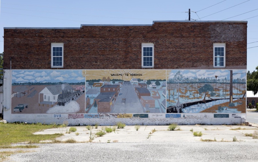
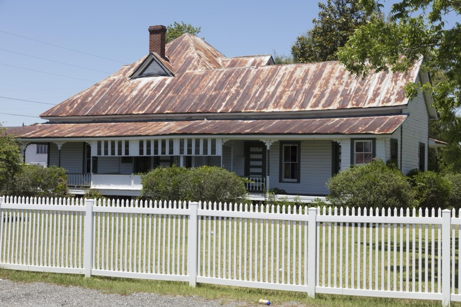

Every property in this county listed on the National Register of Historic Places, with the year it was listed and the federal nomination document.
| Photograph | Property | Type | Listed | Reference |
|---|---|---|---|---|
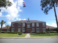 | Brantley County Courthouse | building | 1995 | 95000712 |
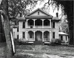 | Sylvester Mumford House | building | 1982 | 82002386 |
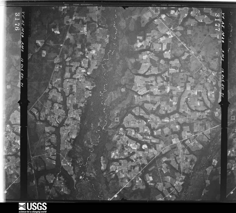
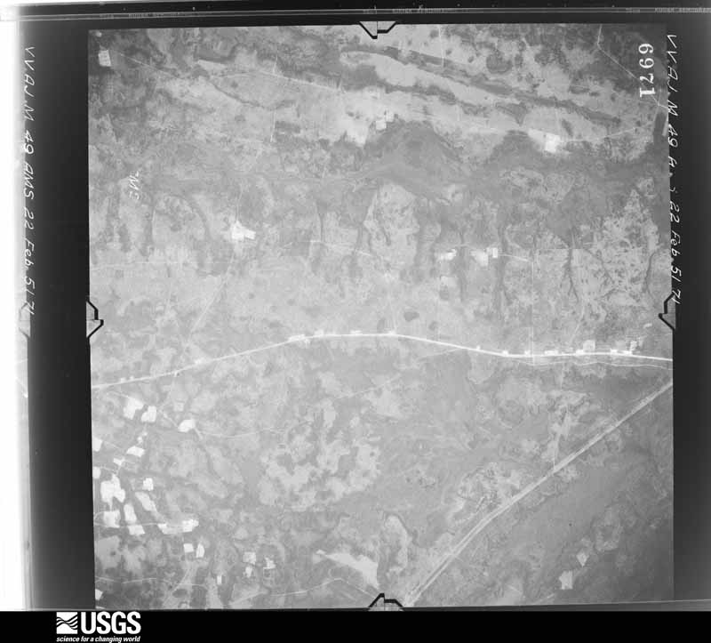
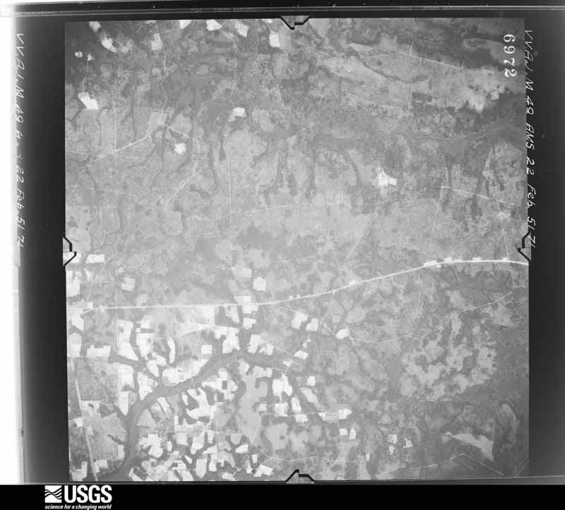
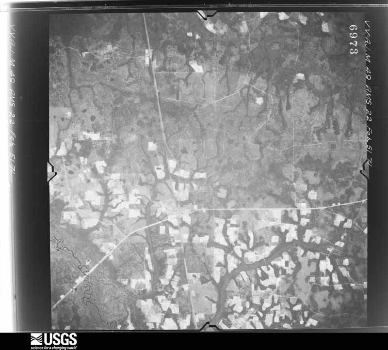
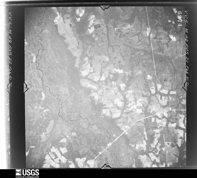
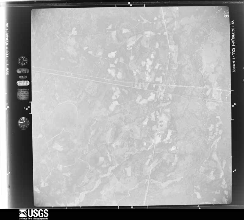
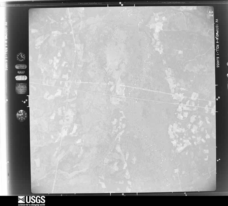
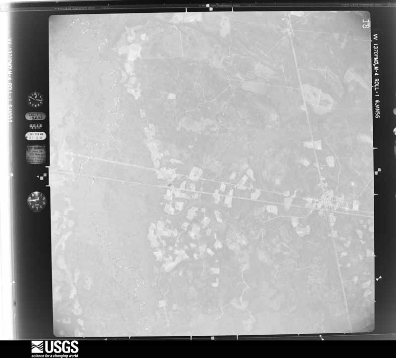
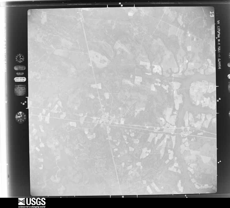
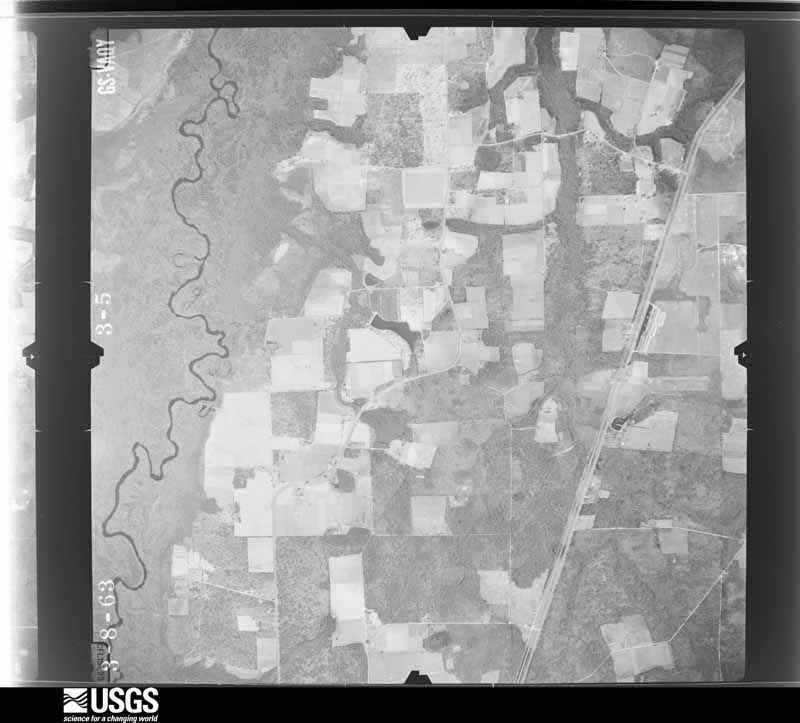
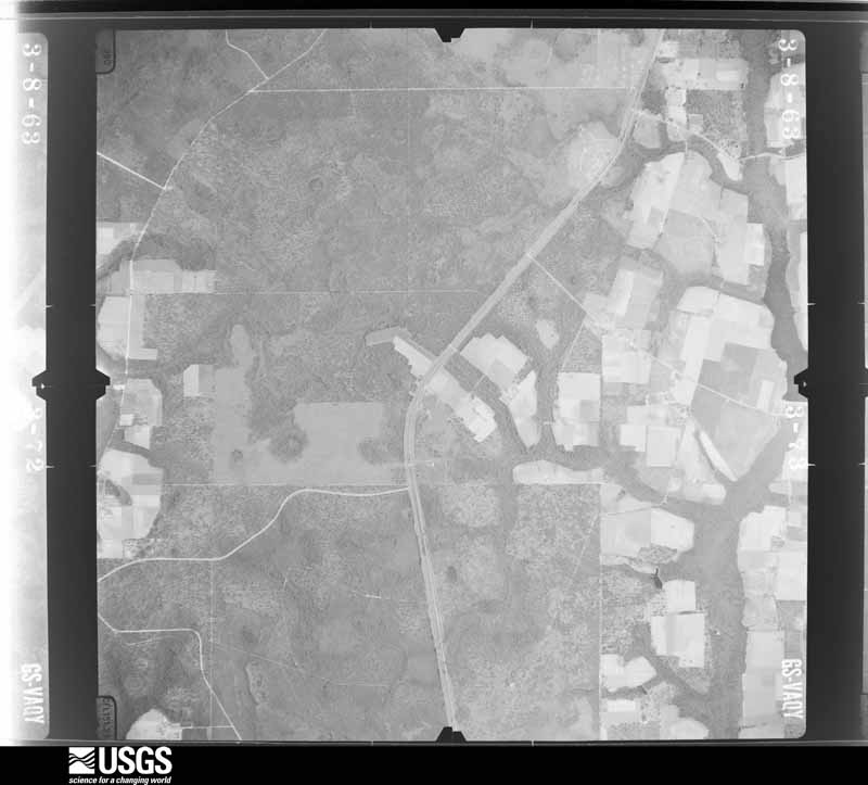
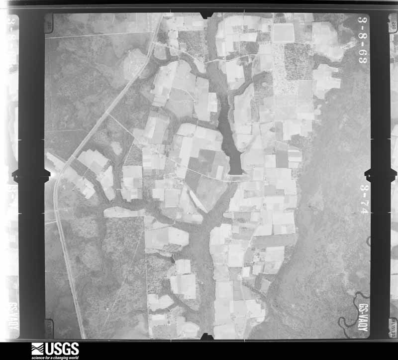
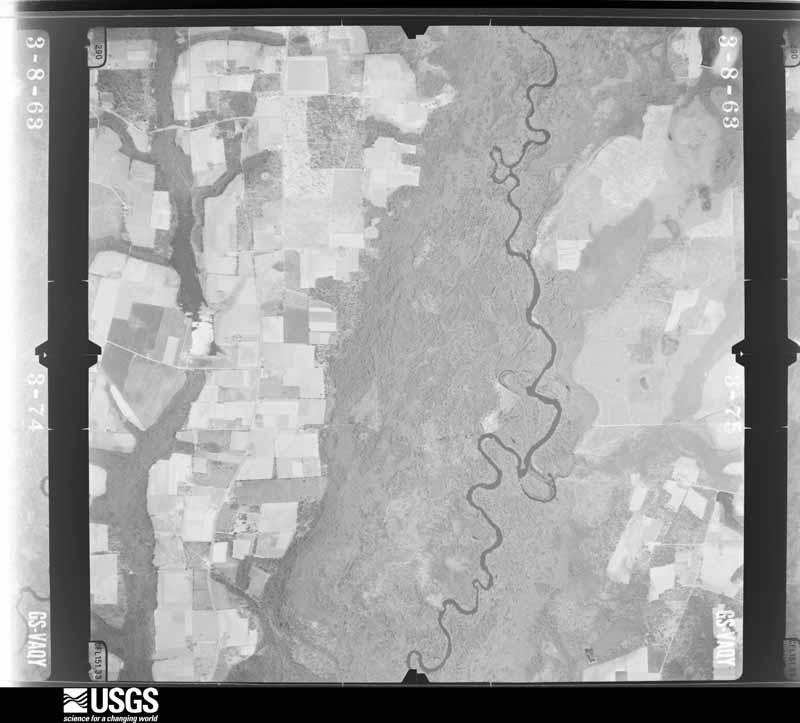
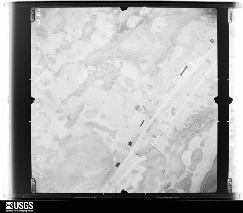
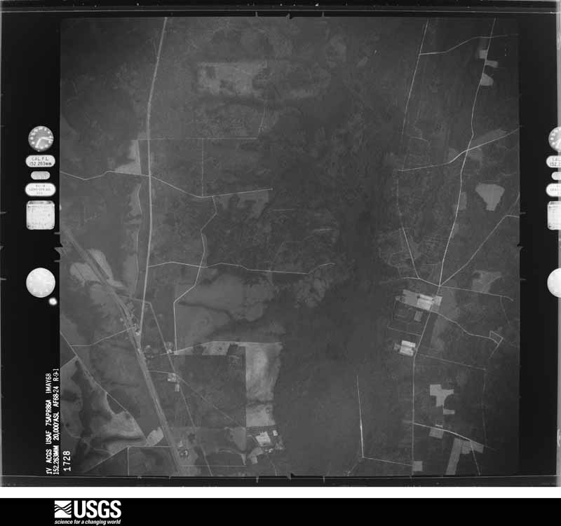
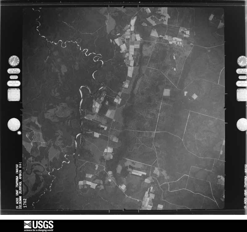
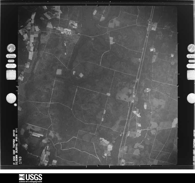
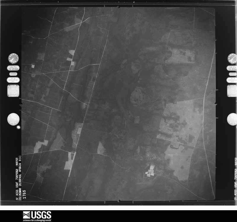
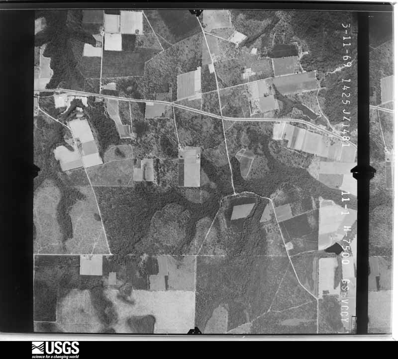
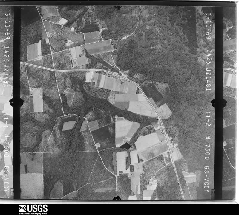
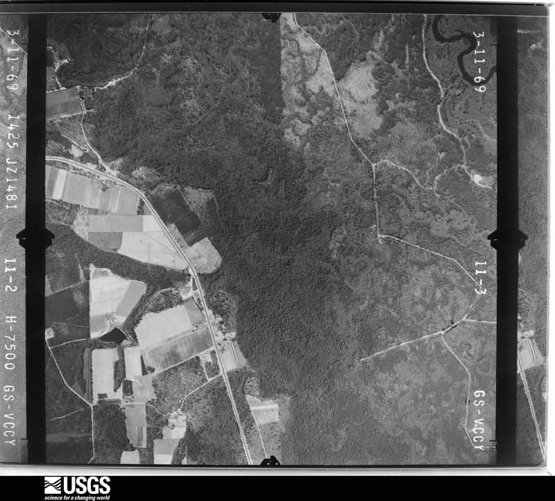
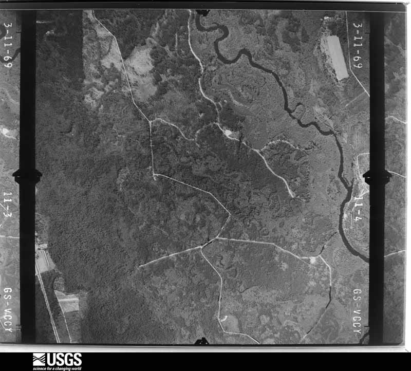
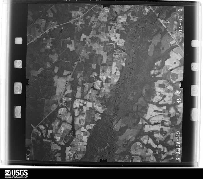
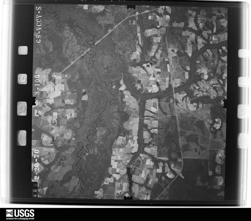
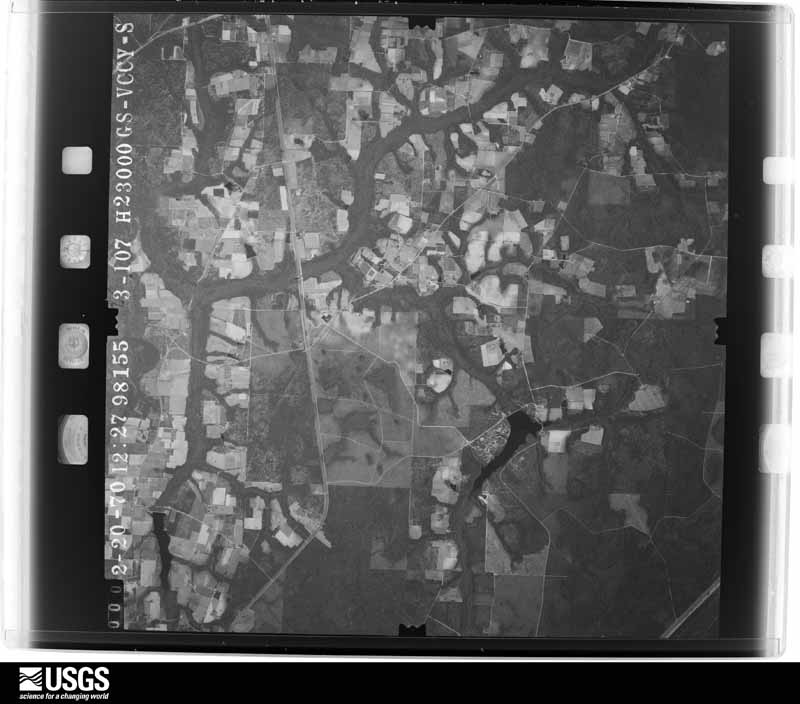
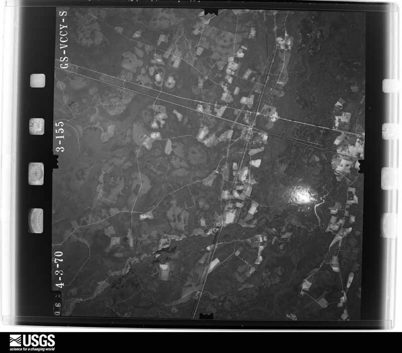
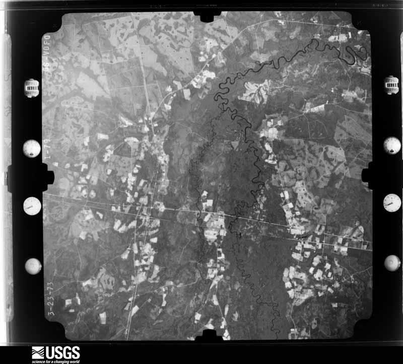
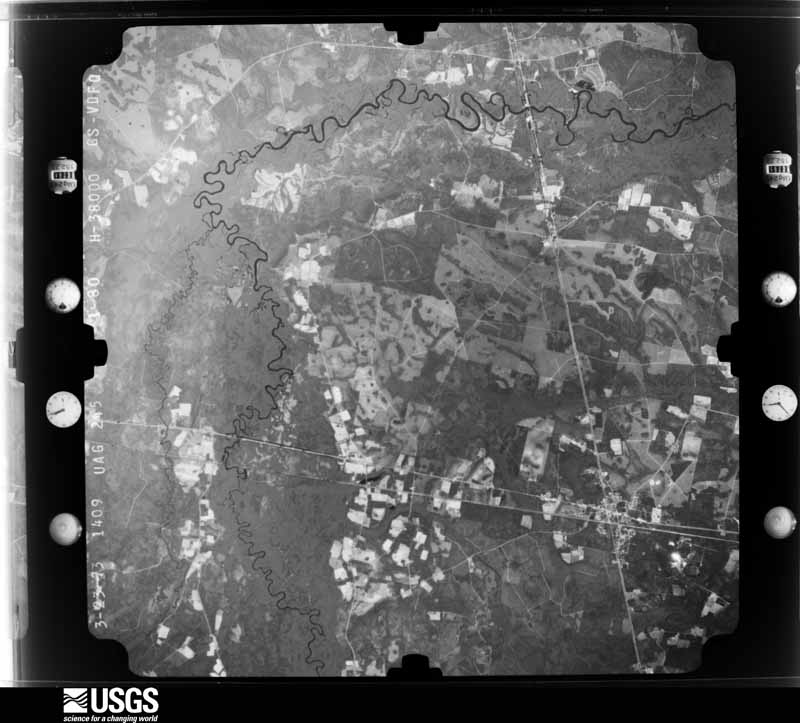
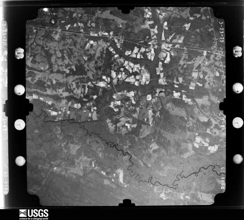
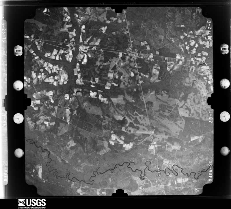
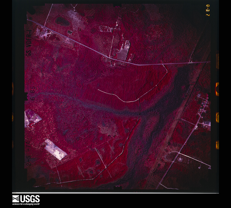
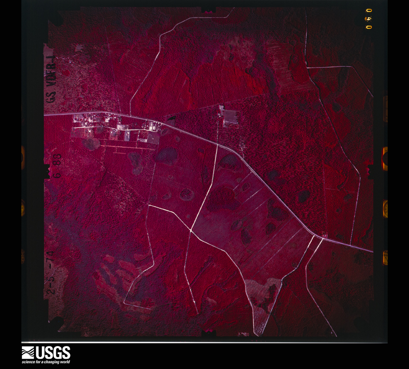
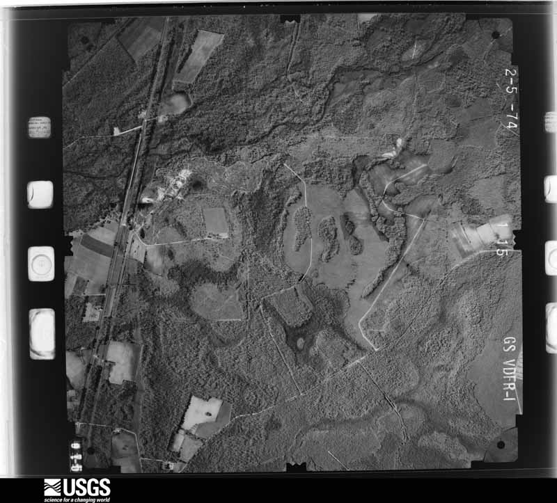
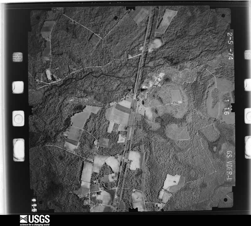
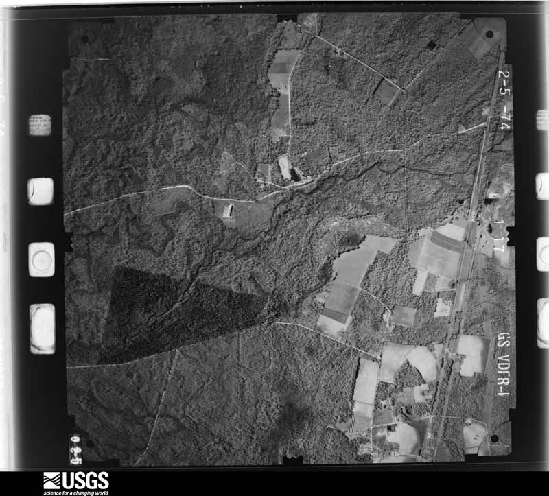
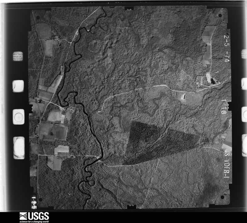
Flown by the U.S. Geological Survey between 1937 and 1989, the Aerial Photo Single Frames collection is the definitive mid-century view of the land: fields, roads and rivers as the camera saw them. The Survey holds 1,214 frames inside the rectangle that bounds this county; the 38 frames below were taken over the county itself, chosen across the decades of flights (at most four a year from that rectangle), so one flight cannot crowd out the rest. The full set is free to browse and download at EarthExplorer under the dataset Aerial Photo Single Frames.


The thermometers that kept this county's weather, and the gages that measured the flow of its streams, as the federal records hold them. The extremes below are measured values from those records, not estimates.
Who lived here in 1950, one enumeration district at a time, as the Census Bureau described each district. Each row opens its official National Archives result, with Population Schedules and ED Maps available there.
Every wildfire the federal occurrence database records inside this county: 1,984 of them, burning about 16,235 acres. 341 started naturally and 378 were recorded as arson. Each settlement page carries the fires within five miles of it.
| Reported cause | Fires |
|---|---|
| Debris and open burning | 846 |
| Arson/incendiarism | 378 |
| Natural | 341 |
| Equipment and vehicle use | 157 |
| Missing data/not specified/undetermined | 75 |
| Misuse of fire by a minor | 68 |
| Recreation and ceremony | 60 |
| Railroad operations and maintenance | 38 |
| Smoking | 21 |
The five largest, by the area the report gives. One of them was set deliberately.
| Date | Cause | Size | Reported by | Name on the report |
|---|---|---|---|---|
| 28 February 2011 | Arson/incendiarism | 2,228 acres | Georgia Forestry Commission | FY2011-BRANTLEY-080 |
| 16 April 2007 | Missing data/not specified/undetermined | 1,778 acres | Georgia Forestry Commission | KNEEKNOCKER SWAMP FIRE |
| 26 March 2007 | Debris and open burning | 1,488 acres | Georgia Forestry Commission | not named |
| 12 April 2007 | Debris and open burning | 696 acres | Georgia Forestry Commission | FORT MUDGE ROAD |
| 20 May 2008 | Misuse of fire by a minor | 670 acres | Georgia Forestry Commission | BROWNTOWN |
| 17 April 2001 | Debris and open burning | 635 acres | Georgia Forestry Commission | FY2001-BRANTLEY-091 |
| 19 June 1998 | Natural | 510 acres | Okefenokee National Wildlife Refuge | GA3 |
| 10 June 1998 | Debris and open burning | 273 acres | Georgia Forestry Commission | not named |
Every settlement page carries the fires within five miles of it - see the settlement index below.
The NOAA Storm Events Database holds 222 reports for this county, causing no deaths, 6 injuries and about $551,100 in recorded property damage. Each settlement page carries the reports that name it.
| Kind of event | Reports |
|---|---|
| Thunderstorm Wind | 134 |
| Hail | 53 |
| Heavy Rain | 11 |
| Tornado | 8 |
| Funnel Cloud | 4 |
| Lightning | 4 |
| Flash Flood | 3 |
| Flood | 3 |
| Winter Storm | 2 |
The most serious of them, by death, then injury, then recorded damage. The accounts are quoted exactly as the forecast office filed them.
| When | Event | Place named | Harm | What the report says |
|---|---|---|---|---|
| March 2024 | Tornado (EF2) | Nahunta | 5 hurt | A strong EF2 tornado tracked west to east parallel to Georgia Highway 82, about 2.5 to 3 miles SW of Nahunta. Touchdown was near Santa Fe Road. Extensive mobile home damage and tree damage occurred. Some homes were flattened, blown off of their foundations and completely destroyed. One mobile home was blown off of its foundation and launched into the nearby forest resulting in its total destruction along Matthews Cir. A large section of a roof was removed on a home at Matthews Circle. Additional mobile home and tree damage occurred near Long Lake Road and Buffalo Creek Dr. |
| July 2008 | Lightning | Schlatterville | 1 hurt | Lightning caused a house fire off of Dyal Road that resulted in 1 fatality and 1 injury. The time of the event was based on radar. |
| October 1990 | Tornado (F1) | not stated | $250,000 | no account filed |
| July 2010 | Lightning | Schlatterville | $100,000 | The Waycross Journal/Herald reported that lightning struck a 100 year old farmhouse about a mile from Laura Walker State Park during the afternoon. There were no injuries. The time of the fire was approximated based on radar imagery, and the lightning fire persisted into the early morning hours of the following day as fire fighters contained the blaze to just the house that it destroyed. The cost of damage was estimated. |
| September 2011 | Thunderstorm Wind | Hortense | $50,000 | About one hundred trees were blown down near Hortense. Many trees were large oaks. One mobile home was destroyed and two mobile homes were damaged. There was significant damage to a roof of a business. A large drum filled with liquid was carried about 80 yards. The time of the event was based on radar imagery. The cost of damage was estimated. |
| April 1979 | Tornado (F1) | not stated | $25,000 | no account filed |
| January 1963 | Tornado (F2) | not stated | $25,000 | no account filed |
| May 2013 | Thunderstorm Wind | Hortense | $15,000 | Buildings were damaged by thunderstorm winds. One mobile home was damaged due to the roof being blown off at 1394 Hortense Road. Two barns were destroyed by thunderstorm winds. One barn was located at 235 Horsestomp Road. The other barn was located at 2078 Old Highway 32. At 11766 Raybon Road West a tree was blown over and landed on a carport with the car still underneath. At 1597 Highway 32 West, trees uprooted and caused damage to pool concrete. A wooden fence, wire fence, and gate were also damaged. The time of wind damage was estimated and based on radar imagery. The cost of damage was estimated...and is likely an underestimate. |
| January 1999 | Thunderstorm Wind | Hoboken | $15,000 | One mobile home destroyed, several homes with minor roof damage. |
| June 1994 | Thunderstorm Wind | Nahunta | $5,000 | Several large trees and power lines were downed by thunderstorm winds between Nahunta and Hoboken on U.S. Highway 82. |
| June 1994 | Thunderstorm Wind | Nahunta | $5,000 | Several large trees were downed by thunderstorm winds along Georgia Highway 82. |
| July 2010 | Thunderstorm Wind | Waynesville | $4,000 | A couple of pecan trees were blown down near the intersection of Post Road and Chicora Road. One tree fell on a house and the other on a car. The cost of damage was estimated, and there were no injuries reported. |
| August 1999 | Thunderstorm Wind | Hoboken | $3,500 | Large trees and power lines were blown down. Roof of a business damaged. |
| July 2001 | Thunderstorm Wind | Waynesville | $2,500 | Large trees and power lines were blown down. |
| April 2000 | Thunderstorm Wind | Hickox | $2,500 | Large trees and power lines were blown down. |
| June 2000 | Thunderstorm Wind | Hickox | $2,500 | Large trees and power lines were blown down. |
| August 2000 | Thunderstorm Wind | Atkinson | $2,500 | Large trees and power lines were blown down. |
| February 1999 | Thunderstorm Wind | Hoboken | $2,500 | Large trees and power lines were blown down. |
| August 1999 | Thunderstorm Wind | Hortense | $2,500 | Large trees and power lines were blown down. |
| May 1998 | Thunderstorm Wind | Hickox | $2,500 | Large trees were blown down. |
| July 1998 | Thunderstorm Wind | Hickox | $2,500 | Large trees and power lines were blown down. |
| February 1998 | Thunderstorm Wind | Atkinson | $2,500 | Large tress and power lines were blown down. |
| June 2020 | Thunderstorm Wind | Hoboken | $2,000 | Trees were blown down near Hoboken. The time of damage was based on radar. The cost of damage was unknown, but it was estimated for Storm Data. |
| June 2020 | Thunderstorm Wind | Waynesville | $2,000 | A tree and power lines were blown down near Hooterville Diner along U.S. Highway 82. The time of damage was based on radar. The cost of damage was unknown but estimated for Storm Data. |
| June 2014 | Thunderstorm Wind | Waynesville | $2,000 | Trees were blown down in Waynesville. The cost of damage was estimated for the event to be included in Storm Data. |
| March 2011 | Thunderstorm Wind | Hortense | $2,000 | Numerous trees were blown down in Hortense. Two large oaks were blown down onto Church Road. The cost of tree removal was estimated. |
| October 2002 | Thunderstorm Wind | Nahunta | $2,000 | Large trees blown down on power lines. |
| December 2002 | Thunderstorm Wind | Lulaton | $2,000 | Large trees down near Satilla River. |
| June 1998 | Thunderstorm Wind | Hoboken | $2,000 | Large trees and power lines were blown down. |
| January 2000 | Thunderstorm Wind | Hoboken | $1,500 | Large trees were blown down. |
| June 1998 | Thunderstorm Wind | Hoboken | $1,500 | Large trees and power lines were blown down. |
| July 1998 | Thunderstorm Wind | Hortense | $1,500 | Large trees and power lines were blown down. |
| November 1996 | Thunderstorm Wind | Nahunta | $1,500 | no account filed |
| November 2025 | Thunderstorm Wind | Atkinson | $1,000 | Powerlines were reported down along Old State Rte 259 from the Brantley County 911 call center. |
| June 2022 | Thunderstorm Wind | Nahunta | $1,000 | Brantley 911 call center reported multiple trees were down throughout Nahunta. Brantley county EM reported multiple trees and power lines were down along Buffalo Creek Dr, Riverside rd, Satilla Ave and Main street. A pine tree fell on Hometown Pizza but there was no damage to the building. Mesonet station UGA81 Nahunta measured a 40 mph thunderstorm wind gust at 10:30 PM EST. |
| June 2022 | Thunderstorm Wind | Hoboken | $1,000 | Brantley county EM reported multiple trees down along HWY 82, Saddleclub rd, and Mt. Calvary church rd. Time was estimated by radar. |
| August 2021 | Thunderstorm Wind | Hoboken | $1,000 | A tree and power line were blown down on Palm Street between Capitol Street and Dowling Street. The cost of damage was unknown but it was estimated for inclusion of the event in Storm Data. |
| March 2016 | Thunderstorm Wind | Schlatterville | $1,000 | The public reported strong wind gusts of 50-60 mph. A fence and large branches were blown down. Many other items were blown of the porch. The cost of damage was estimated. |
| June 2002 | Thunderstorm Wind | Raybon | $1,000 | Large trees and power lines down. |
| July 1996 | Thunderstorm Wind | Hoboken | $1,000 | no account filed |
| July 2023 | Thunderstorm Wind | Shea | $500 | A tin roof was blown off of a storage shed. The time of damage was based on radar. The cost of damage was unknown, but it was estimated for inclusion of the event in Storm Data. |
| April 2017 | Thunderstorm Wind | Waynesville | $500 | Wind gusts of 35-40 mph were estimated and caused some power line damage which caused outages in Waynesville. The cost of damage was unknown, but it was estimated so the event could be included in Storm Data. |
| July 2010 | Lightning | Waynesville | $500 | The Waycross Journal/Herald reported a lightning fire near Waynesville that burned about a tenth of an acre before fire fighters were able to control the blaze. The cost of property damage was estimated. |
| May 2001 | Thunderstorm Wind | Hickox | $500 | Large trees and power lines were blown down. |
| June 2001 | Thunderstorm Wind | Hickox | $500 | Large trees were blown down. |
| June 1998 | Thunderstorm Wind | Hortense | $500 | Large trees and power lines were blown down. |
| September 1997 | Thunderstorm Wind | Waynesville | $500 | Large trees and power lines were blown down along US-82 |
| March 2025 | Thunderstorm Wind | Hortense | $200 | A tree fell on a powerline along Satilla | Church Rd. The time was estimated by radar. The cost of damage was unknown but it was estimated for inclusion of the event in Storm Data. |
| February 2025 | Thunderstorm Wind | Shea | $100 | A tree was blown down in Hickox across Riverside Road. The cost of damage was unknown. Wind gusts were between 45-50 mph at other observation sites nearby around the time of this damage. The time of damage was based on radar. |
| February 2025 | Thunderstorm Wind | Nahunta Brantley Arp | $100 | A tree was blown down between Raybon Street and Seed Orchard Road. The cost of damage was unknown. Wind gusts were between 45-50 mph at other observation sites nearby around the time of this damage. The time of damage was based on radar. |
| February 2025 | Thunderstorm Wind | Hoboken | $100 | A tree was blown down in Hoboken on Terri Way. The cost of damage was unknown. Wind gusts were between 45-50 mph at other observation sites nearby around the time of this damage. |
| June 2023 | Thunderstorm Wind | Hickox | $100 | A tree was blown down on Jess Allen Road. The time of damage was based on radar. The cost of damage was unknown, but it was estimated for inclusion of the event in Storm Data. |
| March 2025 | Thunderstorm Wind | Shea | - | Downed trees were reported along Riverside | Rd near Thrift Loop and Stephen Park Rd. A | few were reported to have fallen on | powerlines. Time estimated by radar. |
| June 2025 | Heavy Rain | Hoboken | - | A farmer measured over 5 inches of rainfall along Blue Jay Road in Hoboken. This verifies radar estimates of 4-6 inches in the area. Most of this rainfall occurred in a 90 minute period. There was a flash flood warning in effect. |
| August 2025 | Heavy Rain | Hortense | - | Personal weather station 78 Brauda Hill KGAHORTE28 measured 2.0 inches of rain in one hour. Rainfall began around 4 PM. |
| January 2025 | Winter Storm | not stated | - | Sleet and snow began to fall between 7-8 AM across the county, becoming heavy at times between 8-10 AM. Widespread 1 to 3 inches of snow accumulations occurred by 10 AM. Between 10-11 AM, the snow gradually mixed with sleet and freezing rain with an extended period of freezing rain through the mid-afternoon hours, resulting in an additional 1/4 to 1/2 inch of ice accumulation on top of the snow. Numerous roads, especially those untreated, were very difficult to travel on, if not impassable. |
| January 2025 | Winter Storm | not stated | - | Up to 1 inch of snow fell across Jackson County. Due to very cold temperatures well below freezing, roads quickly became snow covered and very slick, which led to numerous accidents by sunset. |
| July 2024 | Heavy Rain | Nahunta | - | A public weather station Harris Station - | KGANAHUN14 measured 4.04 inches from | training storms. Rain began around 2:25 PM | EDT. |
| August 2024 | Heavy Rain | Browntown | - | A public weather station off of GA Highway 32 measured 2.3 inches of rainfall. Rain | began shortly after 4 pm and continued through about 5:30 pm. |
| July 2024 | Flood | Nahunta | - | Emergency manager reported 3 inches of rain within a half hour with local drainage ditches of the road filling up. Some local businesses have reported flooding in buildings. |
Named settlements recorded in the Geographic Names Information System, each with the topographic sheets covering it. Villages, hamlets and abandoned places alike. Each is shown with the nearest named watercourse or landform and the survey quadrangle it falls on.
Waynesville census division · 31543 · By Abrams Bluff · Waynesville quadrangle
17 sheets, 1917 to 1993
Waynesville census division · 31543 · Near Flowers Island · Browntown quadrangle
15 sheets, 1918 to 1981
Waynesville census division · 31566 · By Lord King Bluff · Waynesville quadrangle
17 sheets, 1917 to 1993
Nahunta census division · 31553 · On Little Buffalo Creek · Nahunta quadrangle
17 sheets, 1917 to 1993
Nahunta census division · 31543 · Hortense quadrangle
14 sheets, 1918 to 1981
No longer a settlement
Waynesville census division · 31543 · On Page Branch · Hortense quadrangle
14 sheets, 1918 to 1981
Waynesville census division · 31543 · On Well Branch · Thalmann quadrangle
16 sheets, 1918 to 1993
Hoboken census division · 31542 · On South Prong Big Creek · Hoboken West quadrangle
8 sheets, 1953 to 1988
Nahunta census division · 31557 · By Baxter Bluff · Hortense quadrangle
14 sheets, 1918 to 1981
The vanished settlements of Brantley County: the places named above that are no longer on the map.
The complete index, with nothing left out. Each of these is a separate record with its own page: a federal survey report, or the case file that argued a property on to the National Register. Both are public domain and reproduced word for word.
The vanished settlements of Brantley County, the places these records name that are no longer on the map.