 Block
From the record
9 National Register listings published here.
Sources: the National Register database, National Park Service
41 topographic sheets and 9 fire insurance atlases across 1 place.
9 National Register listings published here.
Sources: the National Register database, National Park Service
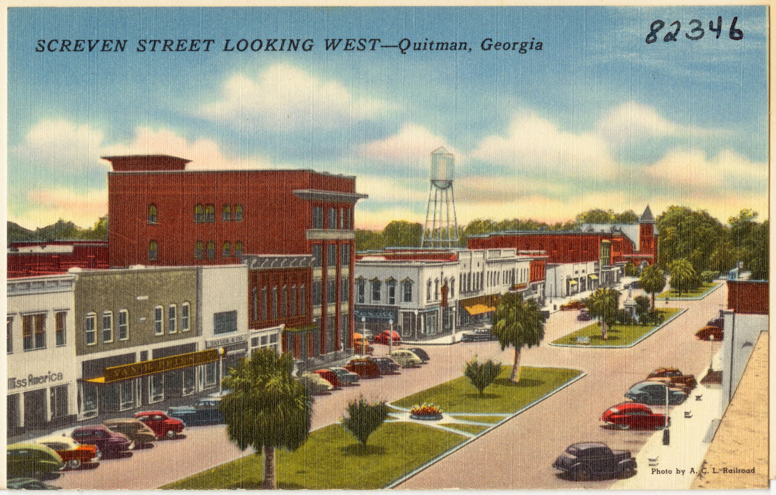
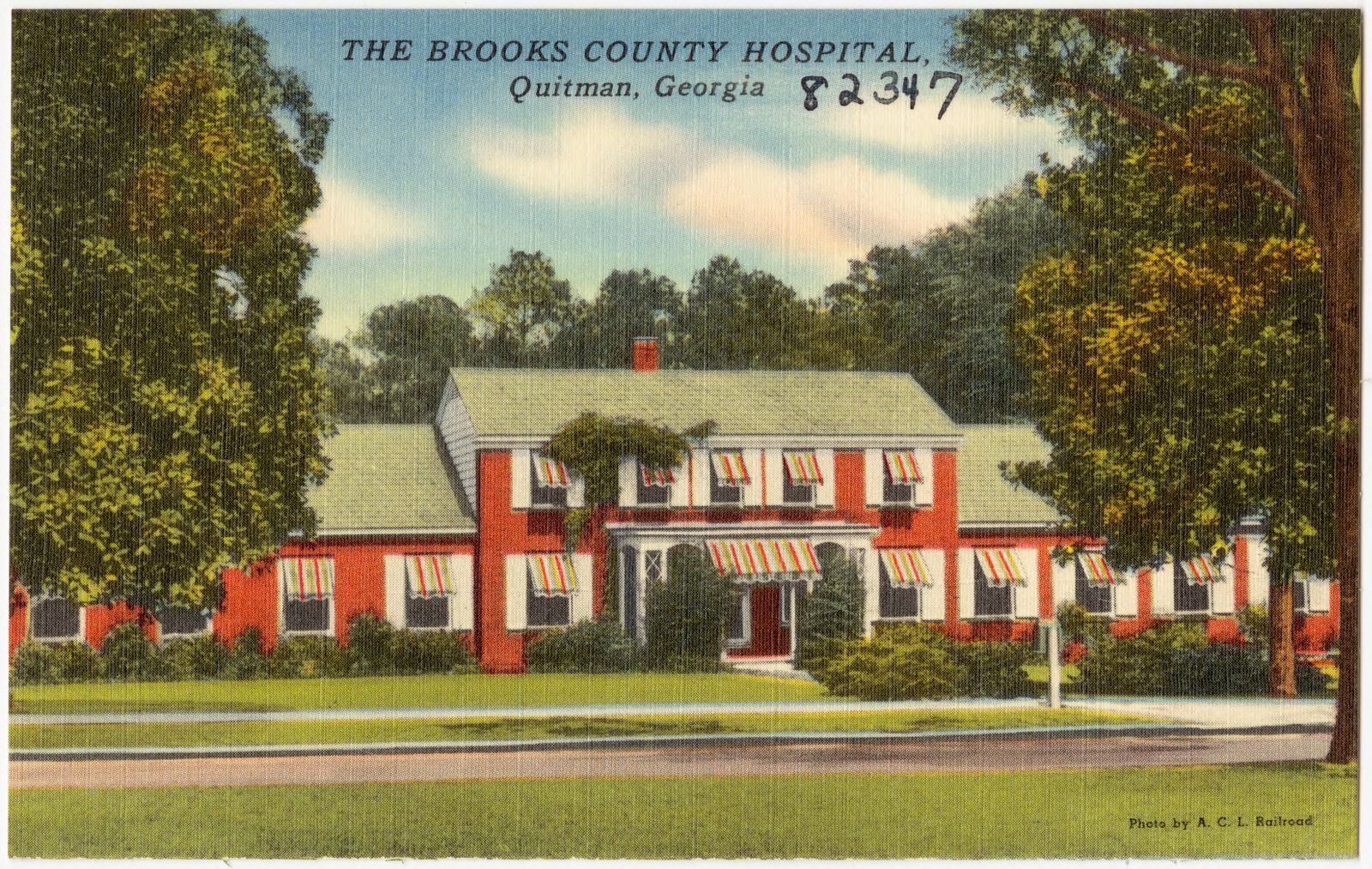
Taken for the Office of War Information and the Farm Security Administration, who photographed the country between 1935 and 1944. Works of United States government photographers, with no known restriction on use. Each opens its catalogue record.
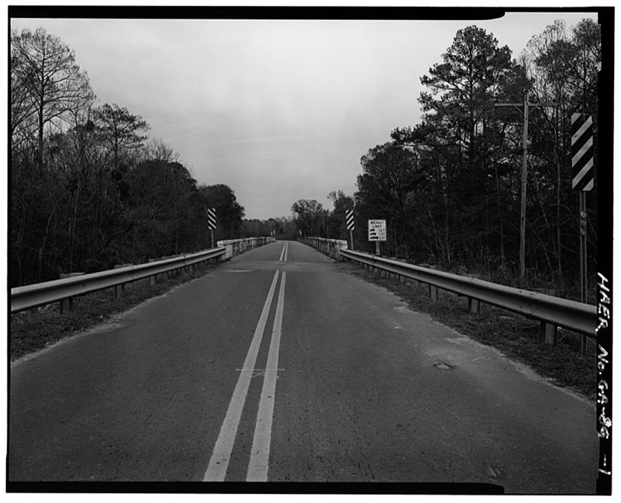
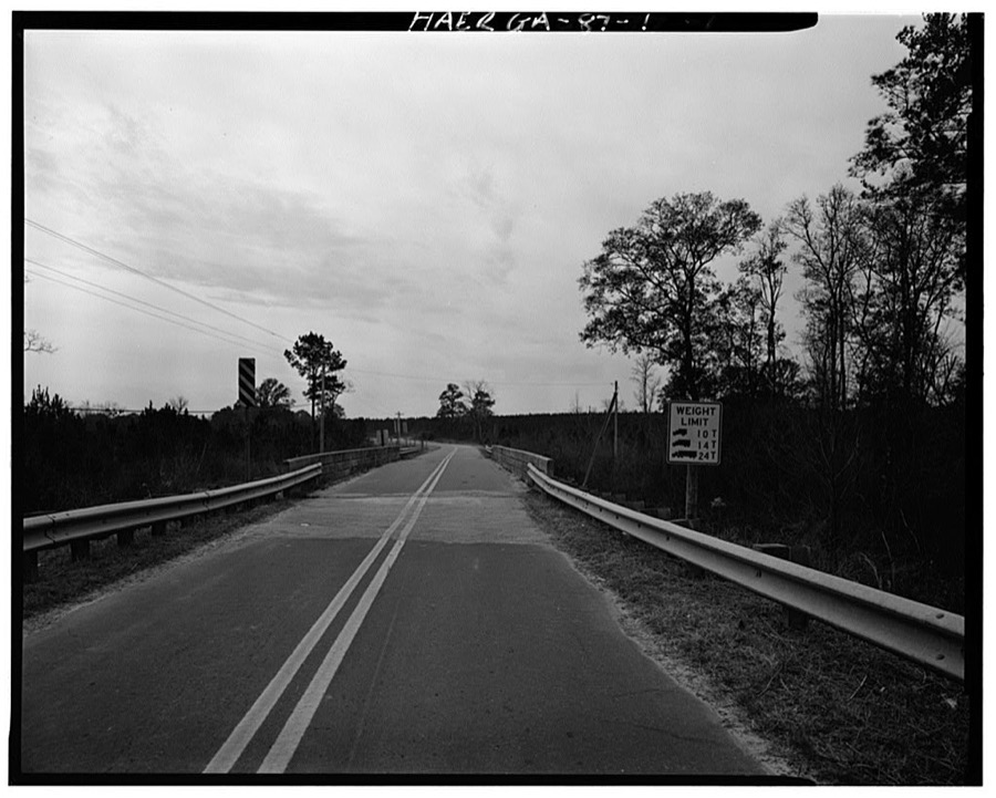
Every property in this county listed on the National Register of Historic Places, with the year it was listed and the federal nomination document.
| Photograph | Property | Type | Listed | Reference |
|---|---|---|---|---|
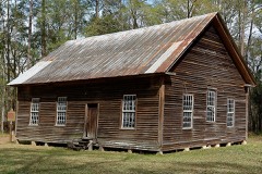 | Bethlehem Primitive Baptist Church and Cemetery | building | 2004 | 04001239 |
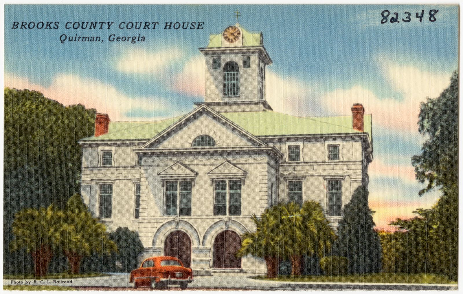
 | Brooks County Courthouse | building | 1980 | 80000976 |
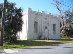 | Brooks County Jail | building | 1982 | 82002387 |
| Cross Roads School | building | 2025 | 100011993 | |
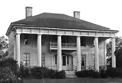 | Eudora Plantation | building | 1974 | 74000662 |
 | Harris-Ramsey-Norris House | building | 2008 | 08000832 |
 | Liberty Baptist Church | building | 2013 | 13000609 |
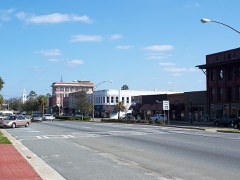 | Quitman Historic District | district | 1982 | 82002388 |
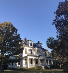 | Henry Gray Turner House and Grounds | building | 1980 | 80000977 |
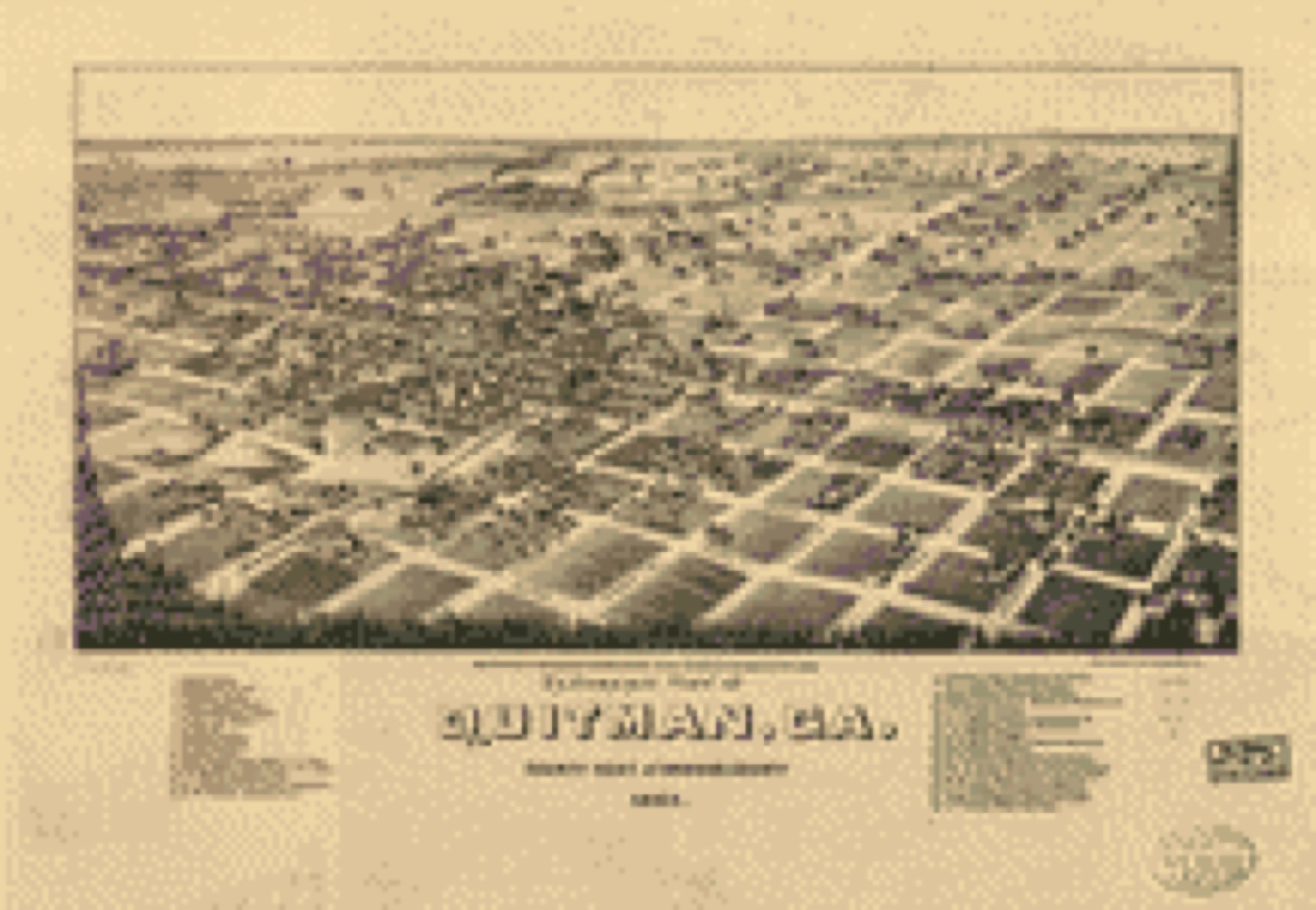
Drawn when these were printed as single large sheets: the town seen from the air, and the county divided into its farms with every owner named. Each opens the original at the Library of Congress.
Selected from the Digital Public Library of America's 5 image records catalogued for this county. Every one shown here carries a public-domain status or a licence that permits reuse on a site that carries advertising; non-commercial, share-alike and restricted images are excluded. The selection is spread across the county's towns (at most eight per town), so no single institution's bulk upload crowds out the rest. Each opens the holding library's record, and the complete set at the Digital Public Library of America is one click away.
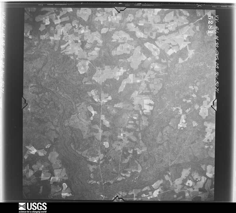
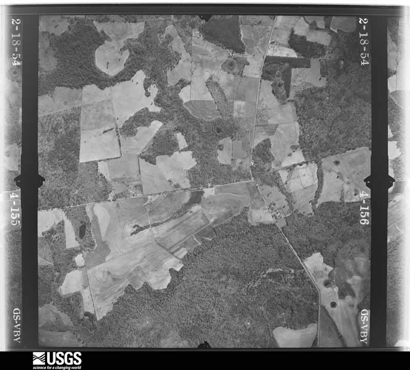
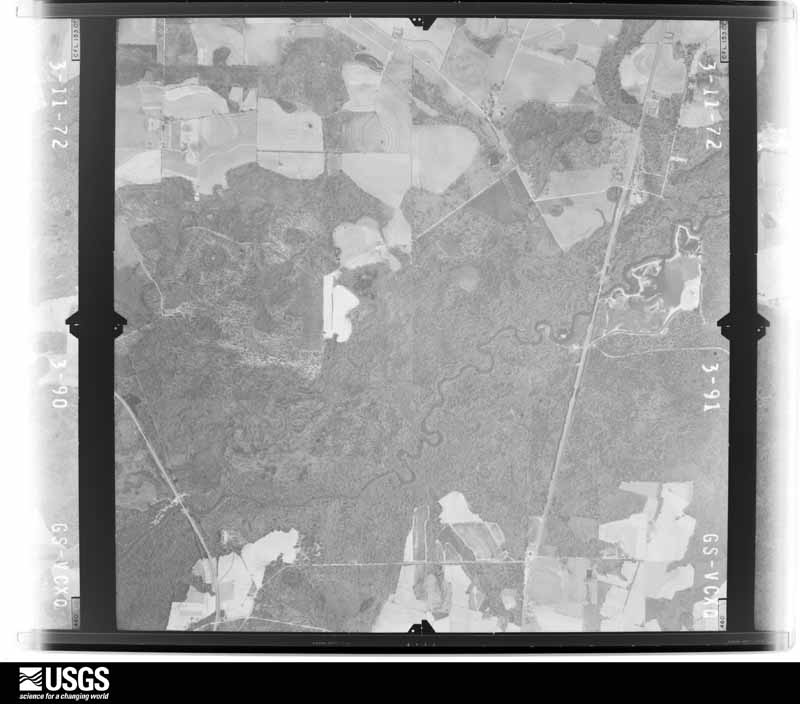
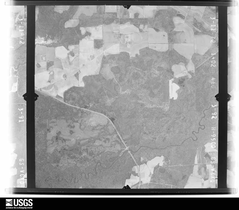
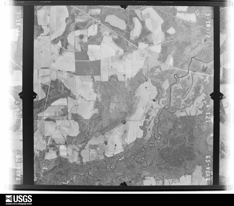
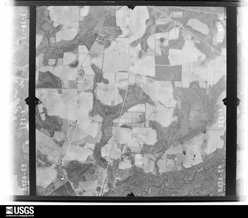
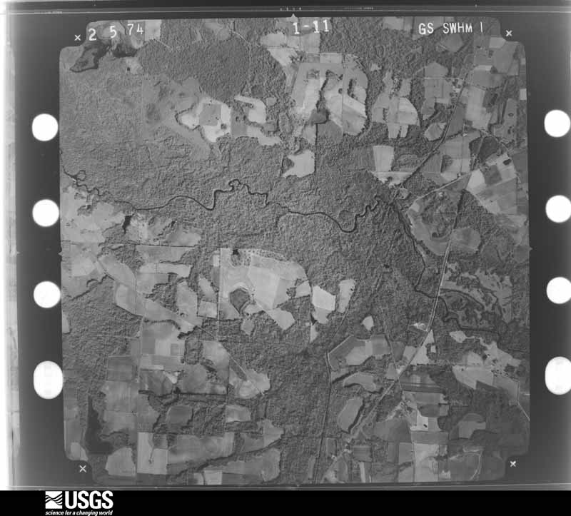
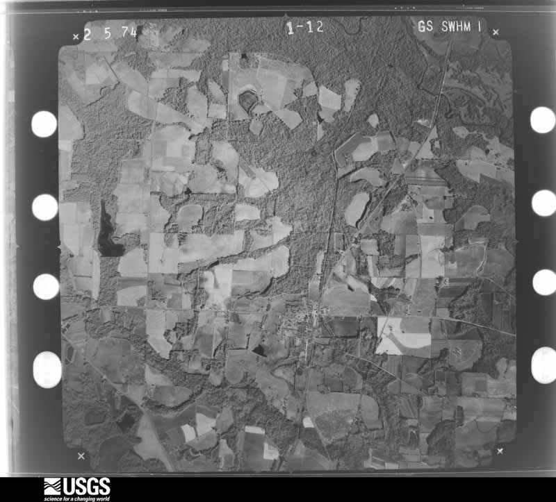
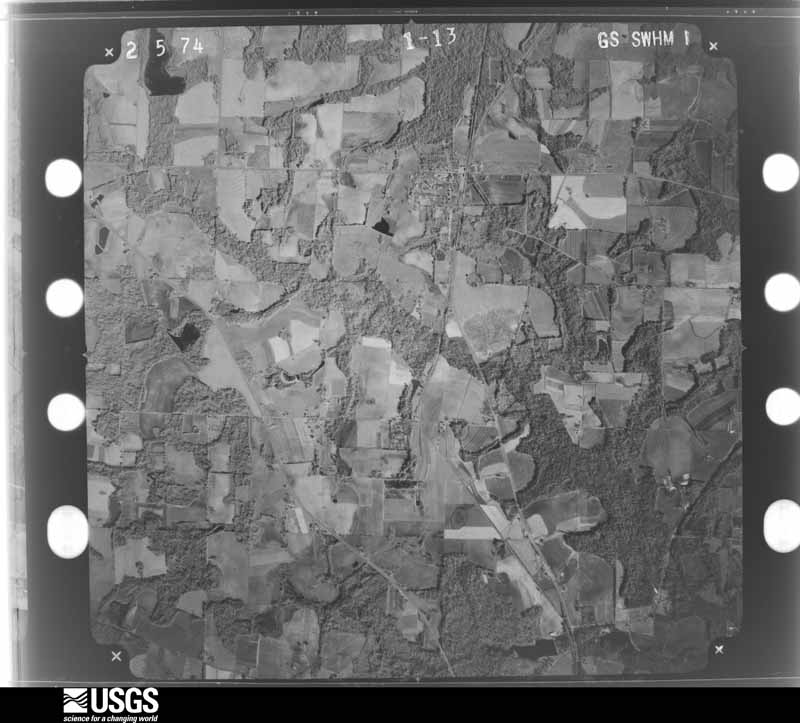
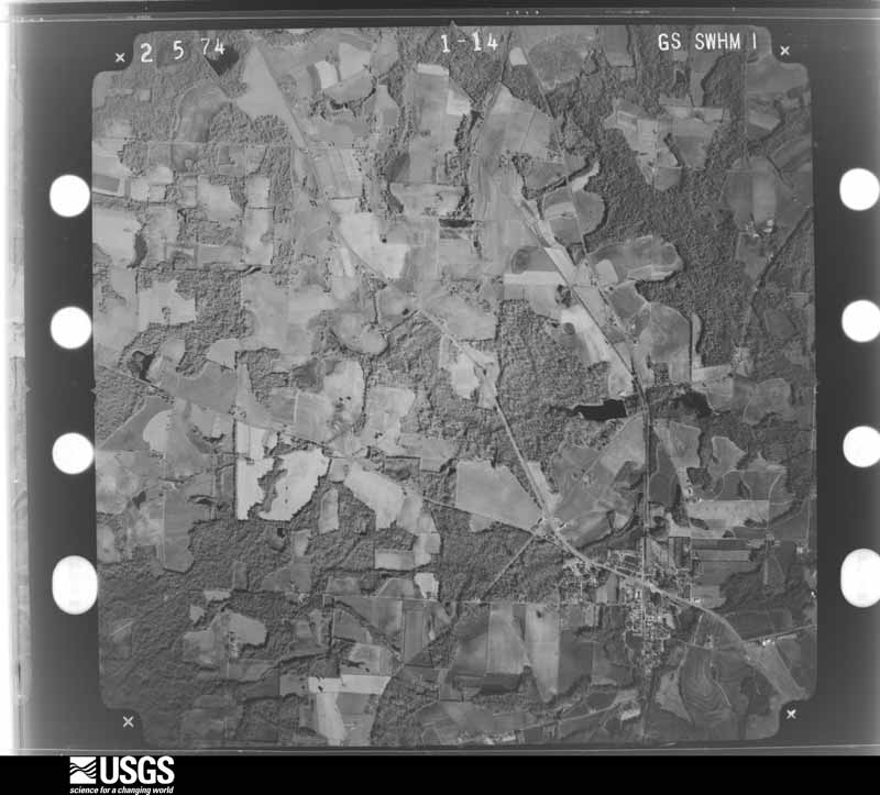
Flown by the U.S. Geological Survey between 1937 and 1989, the Aerial Photo Single Frames collection is the definitive mid-century view of the land: fields, roads and rivers as the camera saw them. The Survey holds 779 frames inside the rectangle that bounds this county; the 32 frames below were taken over the county itself, chosen across the decades of flights (at most four a year from that rectangle), so one flight cannot crowd out the rest. The full set is free to browse and download at EarthExplorer under the dataset Aerial Photo Single Frames.

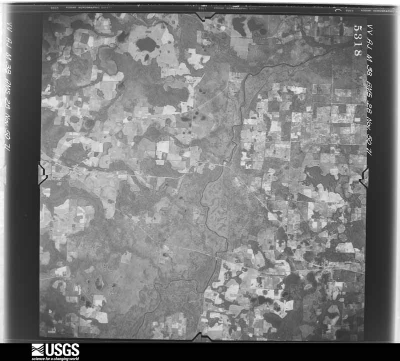




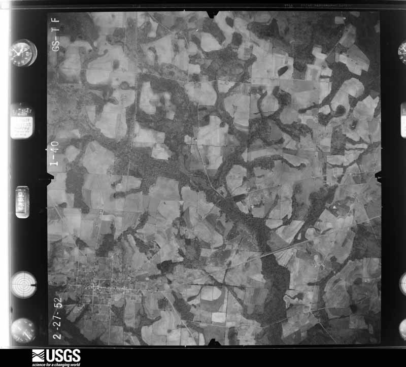
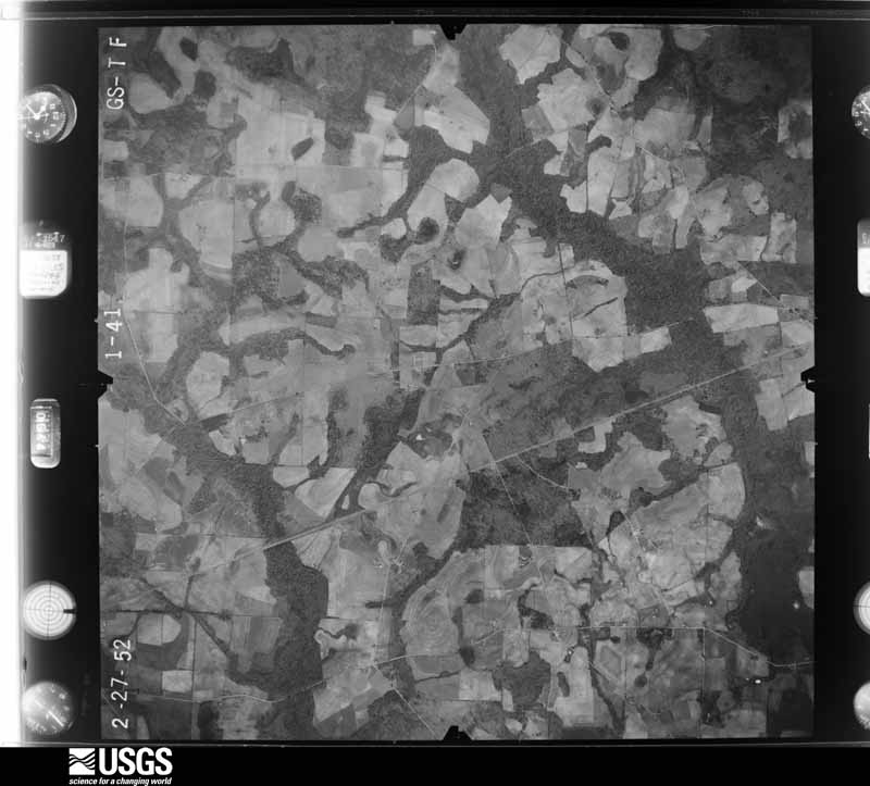
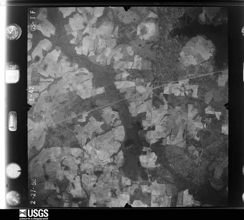
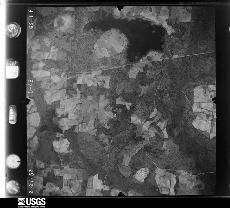
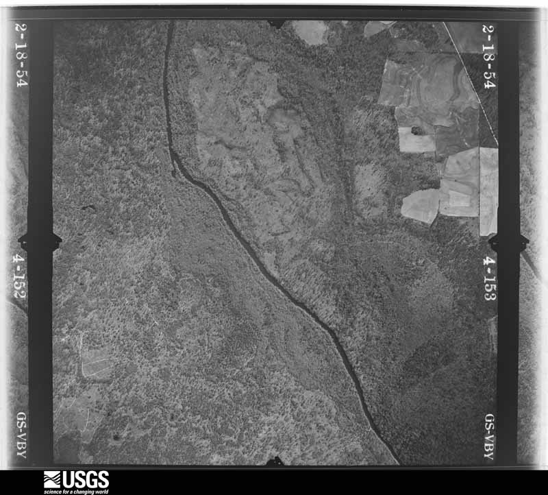
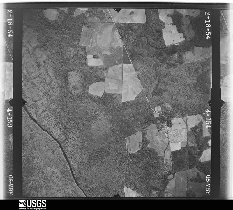
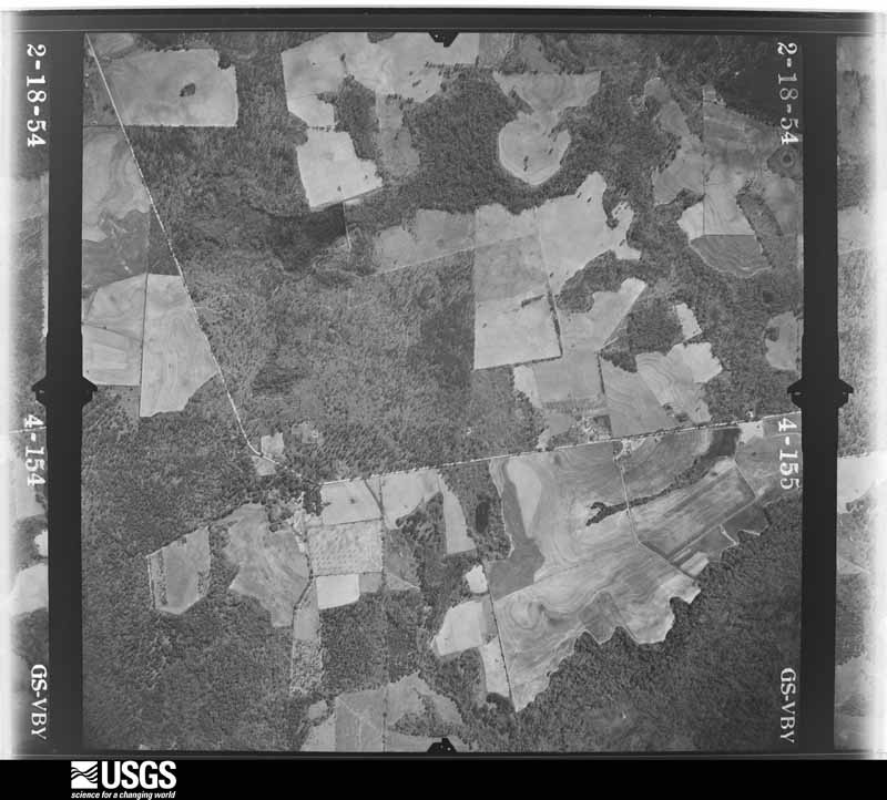









The thermometers that kept this county's weather, and the gages that measured the flow of its streams, as the federal records hold them. The extremes below are measured values from those records, not estimates.
Who lived here in 1950, one enumeration district at a time, as the Census Bureau described each district. Each row opens its official National Archives result, with Population Schedules and ED Maps available there.
Every wildfire the federal occurrence database records inside this county: 1,866 of them, burning about 8,521 acres. 48 started naturally and 306 were recorded as arson. Each settlement page carries the fires within five miles of it.
| Reported cause | Fires |
|---|---|
| Debris and open burning | 1171 |
| Arson/incendiarism | 306 |
| Equipment and vehicle use | 174 |
| Railroad operations and maintenance | 55 |
| Natural | 48 |
| Missing data/not specified/undetermined | 40 |
| Smoking | 27 |
| Misuse of fire by a minor | 25 |
| Recreation and ceremony | 20 |
The five largest, by the area the report gives. Two of them were set deliberately.
| Date | Cause | Size | Reported by | Name on the report |
|---|---|---|---|---|
| 13 April 2020 | Natural | 309 acres | Georgia Forestry Commission | FY2020BROOKS013 |
| 3 February 2002 | Arson/incendiarism | 152 acres | Georgia Forestry Commission | FY2002-BROOKS-061 |
| 14 January 2006 | Equipment and vehicle use | 136 acres | Georgia Forestry Commission | not named |
| 10 February 2000 | Debris and open burning | 127 acres | Georgia Forestry Commission | FY2000-BROOKS-102 |
| 5 March 2000 | Debris and open burning | 124 acres | Georgia Forestry Commission | FY2000-BROOKS-152 |
| 5 April 2006 | Arson/incendiarism | 120 acres | Georgia Forestry Commission | not named |
| 25 February 2000 | Debris and open burning | 116 acres | Georgia Forestry Commission | FY2000-BROOKS-133 |
| 24 March 2007 | Debris and open burning | 107 acres | Georgia Forestry Commission | not named |
Every settlement page carries the fires within five miles of it - see the settlement index below.
The NOAA Storm Events Database holds 210 reports for this county, causing 4 deaths, 6 injuries and about $2,263,800 in recorded property damage. Each settlement page carries the reports that name it.
| Kind of event | Reports |
|---|---|
| Thunderstorm Wind | 148 |
| Hail | 21 |
| Flash Flood | 17 |
| Tornado | 15 |
| Flood | 4 |
| Funnel Cloud | 2 |
| Lightning | 1 |
| Heavy Rain | 1 |
| Winter Storm | 1 |
The most serious of them, by death, then injury, then recorded damage. The accounts are quoted exactly as the forecast office filed them.
| When | Event | Place named | Harm | What the report says |
|---|---|---|---|---|
| January 2017 | Tornado (EF3) | Sand Hill | 2 killed, $500,000 | This was the second tornado to touch down from the same parent tornado that impacted Thomas and northwest Brooks Counties. The tornado touched down at EF-1 strength in northern Brooks County near Georgia Route 122 just west of the Moultrie Highway, snapping trees along the highway. Near the intersection of Georgia Route 133, or the Valdosta Highway, the tornado strengthened to EF-3 blowing out two of the four concrete walls of a small business building. Max winds were estimated near 140 mph. A short distance later, the tornado flipped a strapped-down double wide mobile home and tossed it about 100 feet into a drainage ditch and across Route 122. Two people inside the home were killed. Several nearby trees had their bark stripped off. The tornado then crossed Georgia Route 76 at EF-3 strength and ripped about a third of the second story from a well-built brick home. A short distance up the road, the tornado shifted a wood-framed home about 12 feet off its foundation while removing its second story. This tornado then continued into Cook and Berrien counties. Damage cost was estimated. |
| March 2000 | Lightning | Quitman | 2 killed | Lightning struck and killed two men working in a dairy field. Reported by the Brooks County SO. |
| February 1995 | Thunderstorm Wind | Quitman | 4 hurt, $75,000 | Two houses were destroyed by an apparent microburst. Numerous trees and power lines were knocked down. Several trees were uprooted and many large pine trees were snapped. One small cinder block house was a total loss after its windward side collapsed inward. Two other homes were damaged by falling trees. |
| February 1971 | Tornado (F1) | not stated | 2 hurt, $25,000 | no account filed |
| June 2001 | Flash Flood | Countywide | $250,000 | The remnants of Tropical Storm Allison dumped up to 10 inches of rain Monday night and early Tuesday morning. More than 50 county and secondary roads were impassable, with some washouts. U.S. Highway 84 was temporarily closed. A state of emergency was declared in Brooks County. Reported by the Brooks County EMA. |
| September 2000 | Flash Flood | Countywide | $250,000 | Excessive runoff from heavy rains during the past 24 hours contributed to localized flooding with several county roads closed to high water. Railroad tracks were washed out. Ponds, creeks and streams were rising into residential areas. A spotter in Barney, GA reported nearly 8.5 inches of rain in a 24-hour period. Reported by the Brooks County Sheriff. |
| July 1985 | Tornado (F1) | not stated | $250,000 | no account filed |
| April 1979 | Tornado (F1) | not stated | $250,000 | no account filed |
| August 2008 | Flash Flood | Nankin | $100,000 | Several roads and low lying areas were flooded, including portions of U.S. Highway 221 and State Highway 333 south of Quitman. |
| July 2005 | Thunderstorm Wind | Quitman | $75,000 | A roof to a large church and an adjacent building were damaged. Reported by the Brooks County EMA. |
| November 1995 | Tornado (F1) | Morven | $75,000 | One repair garage was destroyed as a tornado moved across Highway 94. The tornado snapped several pine trees with one falling on a car and another on a house. |
| January 2017 | Thunderstorm Wind | Sand Hill | $50,000 | The Colquitt Electric Membership Corporation reported numerous power poles and power lines down through portions of Berrien, Brooks, Colquitt, Cook, and Lowndes counties. |
| July 2011 | Thunderstorm Wind | Dixie | $40,000 | The tin roof on two chicken houses was removed and one large oak tree was blown down. The monetary damage figure provided is a rough estimate. |
| April 1971 | Tornado (F2) | not stated | $25,000 | no account filed |
| March 1963 | Tornado (F2) | not stated | $25,000 | no account filed |
| April 1963 | Tornado (F2) | not stated | $25,000 | no account filed |
| May 2024 | Flash Flood | Pidcock | $20,000 | The intersection of Spencer Road and Simpson Road was washed out, and a water rescue was needed due to a submerged vehicle. |
| January 2017 | Tornado (EF1) | Pavo | $20,000 | This is a continuation of the Thomas county tornado. Damage in Brooks county was limited to EF1 intensity. The tornado mainly damaged trees and the roof of one residence before dissipating. Damage cost was estimated. |
| April 2011 | Thunderstorm Wind | Quitman | $20,000 | Trees and power lines were blown down across the county. The monetary damage figure provided is a rough estimate. |
| April 2022 | Tornado (EF1) | Oaklawn | $10,000 | This is a continuation of the Thomas county EF1 tornado into Brooks county with max winds estimated at 105 mph. This tornado touched down just west of GA Highway 33 in Thomas County south of Barwick. The tornado crossed the highway and impacted a single family home causing roof and chimney damage to the residence. One barn was destroyed on site and another was heavily damaged. Homes directly east of the initial residence had only cosmetic damage, though large pecan trees were uprooted and snapped. The tornado crossed Dixie Barwick Road southeast of Barwick where numerous trees in the area were snapped or uprooted. The tornado continued through rural portions of the county, damaging a barn south of Barwick Road. The tornado crossed Moore Road and caused substantial tree damage with several large pines snapped. An abandoned residence in the area suffered damage from fallen trees. The tornado crossed Barwick Road near Coffee Road and continued causing significant tree damage around a residence on Coffee Road. An outbuilding at this residence suffered structural damage. The tornado continued along Coffee Road, eventually lifting in the vicinity of Tallokas Road south of Willis Road. |
| June 2008 | Thunderstorm Wind | Quitman | $10,000 | Numerous trees and power lines were down to the northwest and west of Quitman. |
| December 2002 | Thunderstorm Wind | Countywide | $10,000 | Downed trees and power lines reported by the Brooks County Sheriff. |
| June 1998 | Thunderstorm Wind | Quitman | $10,000 | no account filed |
| June 2011 | Thunderstorm Wind | Blue Springs | $6,000 | Numerous trees were blown down east of Quitman. The monetary damage figure provided is a rough estimate. |
| May 2012 | Thunderstorm Wind | Morven | $5,000 | Several trees and power lines were blown down in Morven. Monetary damage was estimated. |
| September 2011 | Thunderstorm Wind | Quitman | $5,000 | Trees were blown down across the county. The monetary damage figure provided is a rough estimate. |
| February 2008 | Flood | Blue Spgs | $5,000 | The swollen Withlacoochee River overflowed its banks near Blue Springs. Eight campers requested emergency evacuation along Blue Springs Highway. One portable shelter was washed away. |
| July 2004 | Thunderstorm Wind | Quitman | $5,000 | Downed trees and power lines reported by the Brooks County EMA. |
| March 2001 | Tornado (F0) | Pavo | $5,000 | The F0 tornado moved northeast from northeast Thomas County along Highway 122, crossed the Thomas-Brooks County line near Pavo, then dissipated just northeast of Pavo in extreme northwest Brooks County. It uprooted several trees and downed some power lines. Reported by a SKYWARN storm spotter. |
| March 2000 | Thunderstorm Wind | Northeast Portion | $5,000 | Some downed trees and power lines. Reported by the Brooks County EMA. |
| June 1994 | Thunderstorm Wind | Quitman | $5,000 | Numerous trees and power lines were downed along Georgia Highway 33. |
| January 2013 | Thunderstorm Wind | Oaklawn | $4,000 | Numerous trees and power lines were blown down across the county. Monetary damage was estimated. |
| June 2012 | Thunderstorm Wind | Quitman | $4,000 | Numerous trees were blown down. Monetary damage was estimated. |
| July 2012 | Thunderstorm Wind | Barney | $4,000 | Several trees and power lines were blown down, mainly the northeast side of the county near Highway 133. Monetary damage was estimated. |
| May 2023 | Thunderstorm Wind | Oaklawn | $3,000 | Power lines were blown down in Barwick at Clifford and Coffee Streets. |
| August 2023 | Thunderstorm Wind | Quitman | $3,000 | Numerous trees and power lines were blown down across Brooks county. |
| June 2019 | Thunderstorm Wind | Quitman-Brooks Arpt | $3,000 | Trees were blown down and power poles were snapped in Brooks county. |
| March 2014 | Thunderstorm Wind | Blue Springs | $3,000 | Trees and power lines were blown down along Highway 84 at Patrick Road. |
| March 2014 | Thunderstorm Wind | Barney | $3,000 | Trees and power lines were blown down in northern Brooks county along Highway 122. Some of the downed power lines started fires. |
| May 2012 | Thunderstorm Wind | Grooverville | $3,000 | Several trees were blown down in Grooverville. Monetary damage was estimated. |
| June 2012 | Thunderstorm Wind | Pavo | $3,000 | Trees and power lines were blown down near Pavo. Monetary damage was estimated. |
| June 2012 | Thunderstorm Wind | Barney | $3,000 | Trees and power lines were blown down near Barney. Monetary damage was estimated. |
| July 2012 | Thunderstorm Wind | Quitman | $3,000 | Trees and power lines were blown down. Monetary damage was estimated. |
| August 2012 | Thunderstorm Wind | Empress | $3,000 | The Brooks county 911 call center reported trees down on Greenville Highway in southern Brooks county. Monetary damage was estimated. |
| August 2012 | Thunderstorm Wind | Empress | $3,000 | The Brooks county 911 call center reported trees down along Empress Road in southern Brooks county. Monetary damage was estimated. |
| October 2002 | Thunderstorm Wind | Morven | $3,000 | A Brooks County Sheriff deputy reported several downed trees and power lines. |
| May 1980 | Tornado (F1) | not stated | $2,500 | no account filed |
| June 2024 | Thunderstorm Wind | Grooverville | $2,000 | A power line was blown down along Ramsey Road. |
| April 2023 | Thunderstorm Wind | Blue Springs | $2,000 | A power line was blown down at the end of a driveway off of Troupeville Road. |
| September 2023 | Thunderstorm Wind | Morven | $2,000 | Power poles were blown down at the intersection of Campground Road and Highway 76. |
| September 2023 | Thunderstorm Wind | Barney | $2,000 | A tree was blown down over power lines near the intersection of Adel Highway and Old Coffee Road. |
| June 2022 | Thunderstorm Wind | Quitman | $2,000 | Trees limbs fell onto power lines in Quitman. |
| May 2016 | Thunderstorm Wind | Quitman | $2,000 | A tree and a power line were blown down in Quitman. |
| June 2016 | Thunderstorm Wind | Pavo | $2,000 | A tree was blown down onto power lines on Adams Road. |
| August 2016 | Thunderstorm Wind | Morven | $2,000 | A tree was blown down onto a power lines, resulting in a power outage to 54 customers along Gin Street on the west side of Morven. This was reported on the Georgia Power outage map. |
| August 2016 | Thunderstorm Wind | Morven | $2,000 | A tree was blown down and resulted in a power outage to 496 customers near Morven as reported on the Georgia Power outage website. |
| July 2016 | Thunderstorm Wind | Oaklawn | $2,000 | A tree was blown down resulting in a power outage along Dixie-Barwick Road just south of Coffee Street near Barwick. |
| February 2014 | Thunderstorm Wind | Quitman-Brooks Arpt | $2,000 | Trees were blown down in central Brooks county. |
| October 2014 | Thunderstorm Wind | Oaklawn | $2,000 | Power lines were blown down in Barwick along the county line. |
| June 2014 | Thunderstorm Wind | Quitman | $2,000 | Several trees were blown down across the county. |
Named settlements recorded in the Geographic Names Information System, each with the topographic sheets covering it. Villages, hamlets and abandoned places alike. Each is shown with the nearest named watercourse or landform and the survey quadrangle it falls on. The 1 place that was also surveyed for fire insurance comes first, with the number of atlases and photographs held for them.
Quitman census division · 31643 · Quitman quadrangle
8 sheets, 1954 to 1981
Fire insurance: 9 atlases
Morven census division · 31602 · Ousley quadrangle
7 sheets, 1954 to 1981
No longer a settlement
Morven census division · 31643 · Ousley quadrangle
7 sheets, 1954 to 1981
No longer a settlement
Morven census division · 31638 · Pebble Hill quadrangle
8 sheets, 1954 to 1981
No longer a settlement
Empress census division · 31643 · Clyattville quadrangle
10 sheets, 1954 to 1994
No longer a settlement
Morven census division · 31643 · On Gum Creek · Pebble Hill quadrangle
8 sheets, 1954 to 1981
Barwick-Pavo census division · 31778 · Pebble Hill quadrangle
8 sheets, 1954 to 1981
No longer a settlement
Morven census division · 31643 · On Slaughter Creek · Hahira West quadrangle
7 sheets, 1954 to 1981
No longer a settlement
The vanished settlements of Brooks County: the places named above that are no longer on the map.
8 topographic sheets and 9 fire insurance atlases, 1885 to 1943
The complete index, with nothing left out. Each of these is a separate record with its own page: a federal survey report, or the case file that argued a property on to the National Register. Both are public domain and reproduced word for word.
The vanished settlements of Brooks County, the places these records name that are no longer on the map.