 Block
From the record
12 National Register listings published here.
Sources: the National Register database, National Park Service
121 topographic sheets cover 100 settlements here, and 12 properties are on the National Register of Historic Places.
12 National Register listings published here.
Sources: the National Register database, National Park Service
Taken for the Office of War Information and the Farm Security Administration, who photographed the country between 1935 and 1944. Works of United States government photographers, with no known restriction on use. Each opens its catalogue record.
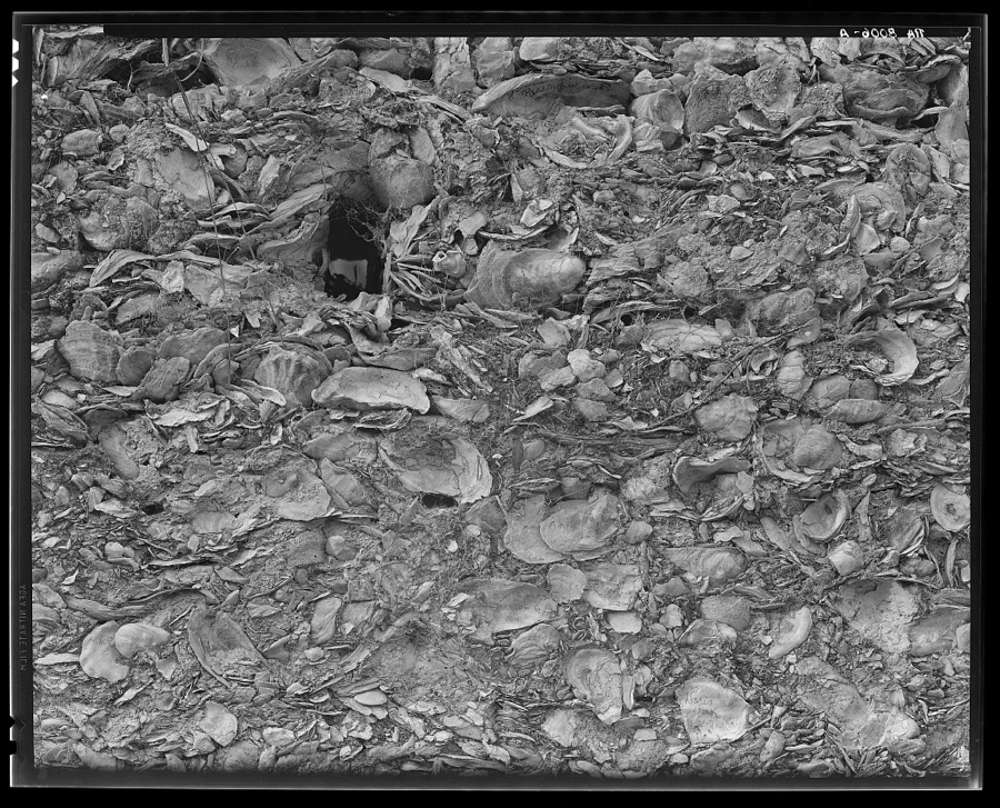
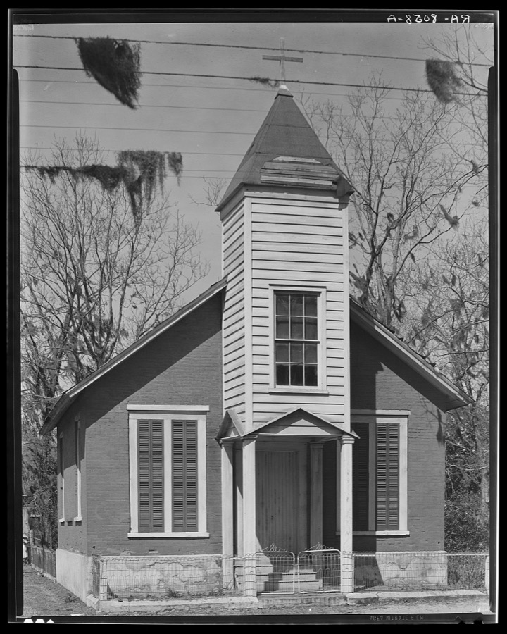
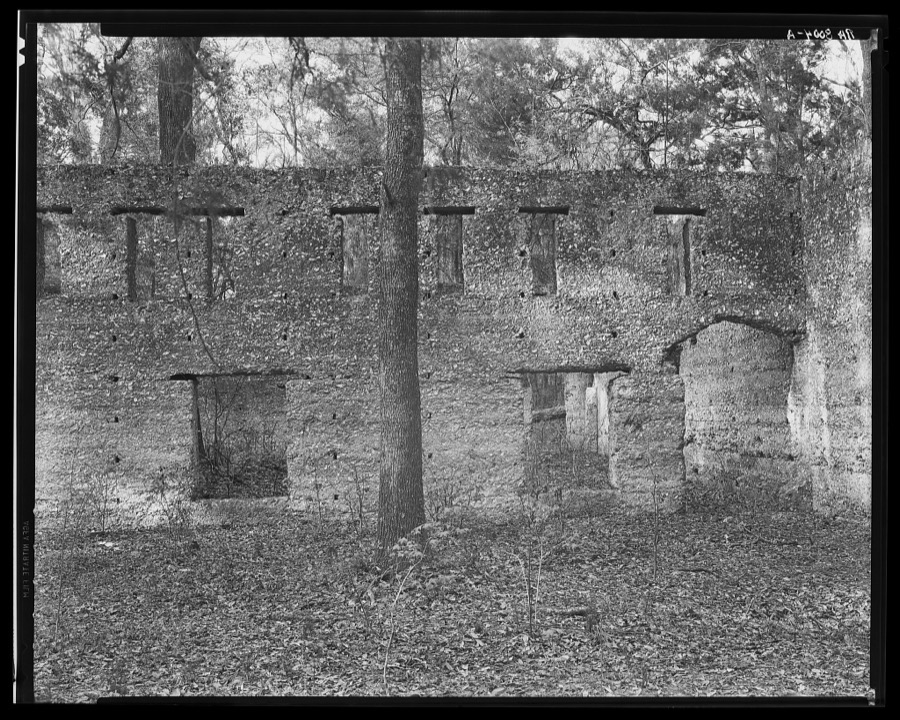
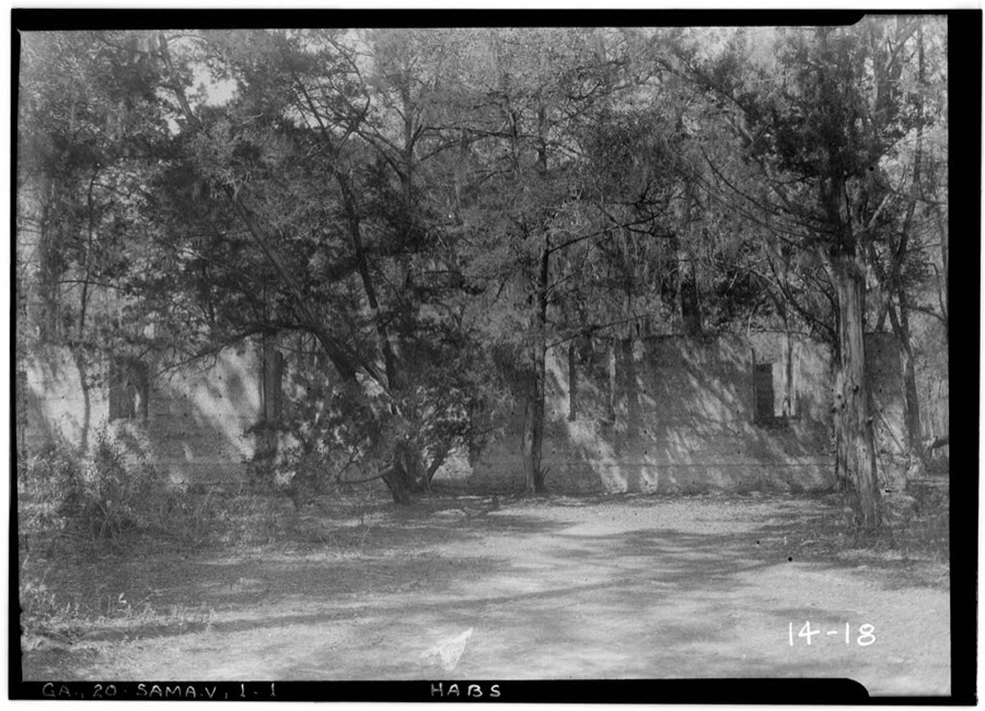
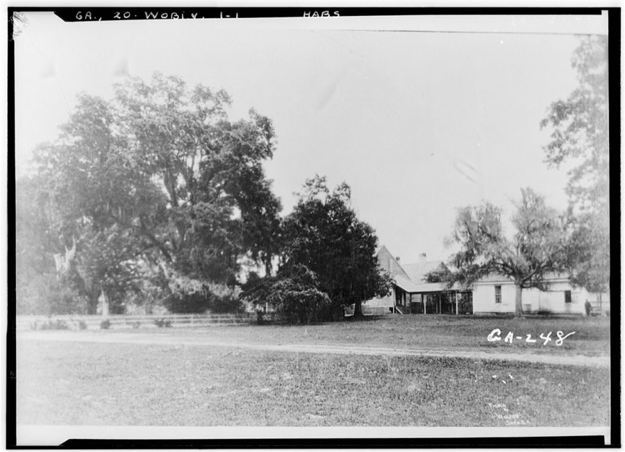
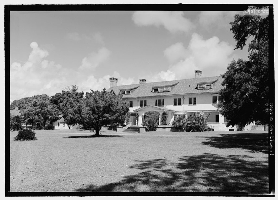
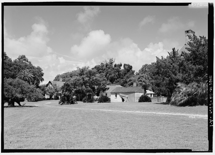
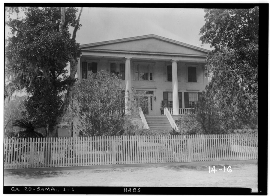
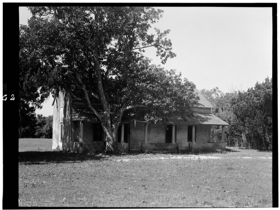
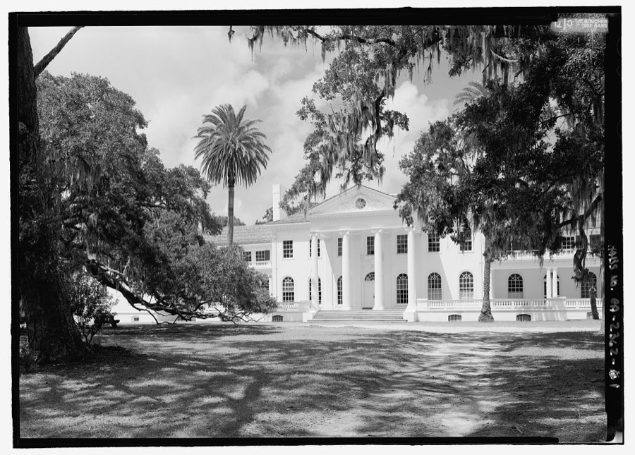
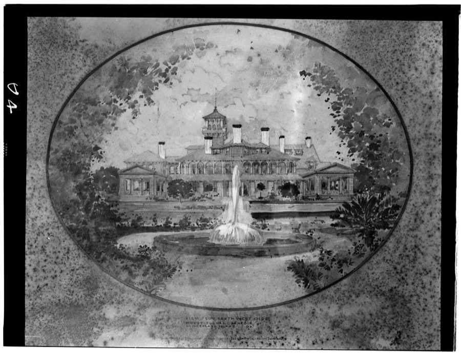
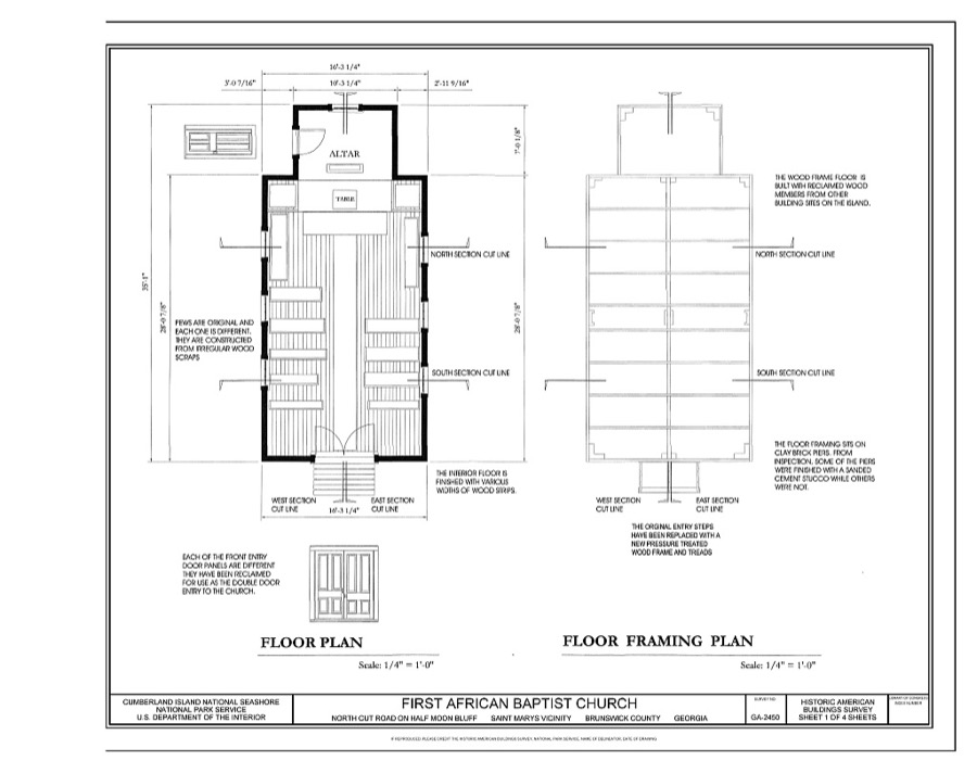
Every property in this county listed on the National Register of Historic Places, with the year it was listed and the federal nomination document.
| Photograph | Property | Type | Listed | Reference |
|---|---|---|---|---|
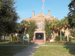 | Camden County Courthouse | building | 1980 | 80000983 |
| Duck House | building | 1984 | 84000938 | |
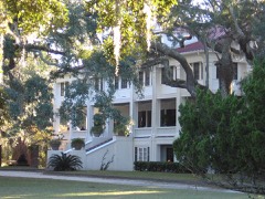 | Greyfield | district | 2003 | 03000675 |
| High Point-Half Moon Bluff Historic District | district | 1978 | 78000265 | |
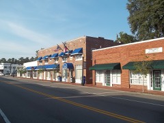 | Kingsland Commercial Historic District | district | 1994 | 94000186 |
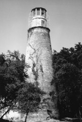 | Little Cumberland Island Lighthouse | structure | 1989 | 89001407 |
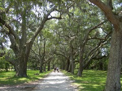 | Main Road | structure | 1984 | 84000941 |
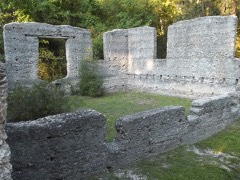 | John Houstoun McIntosh Sugarhouse | site | 1992 | 92000167 |
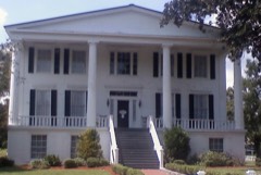 | Orange Hall | building | 1973 | 73000613 |
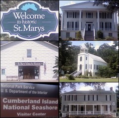 | St. Marys Historic District | district | 1976 | 76000609 |
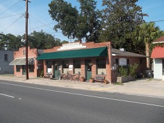 | Woodbine Historic District | district | 1999 | 99000553 |
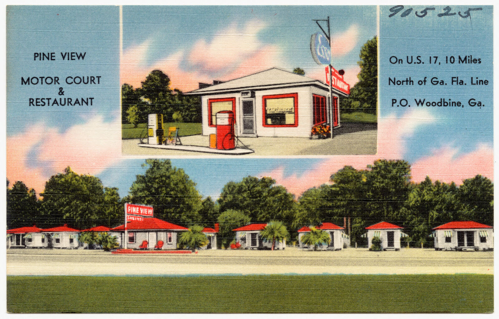
Selected from the Digital Public Library of America's 5 image records catalogued for this county. Every one shown here carries a public-domain status or a licence that permits reuse on a site that carries advertising; non-commercial, share-alike and restricted images are excluded. The selection is spread across the county's towns (at most eight per town), so no single institution's bulk upload crowds out the rest. Each opens the holding library's record, and the complete set at the Digital Public Library of America is one click away.
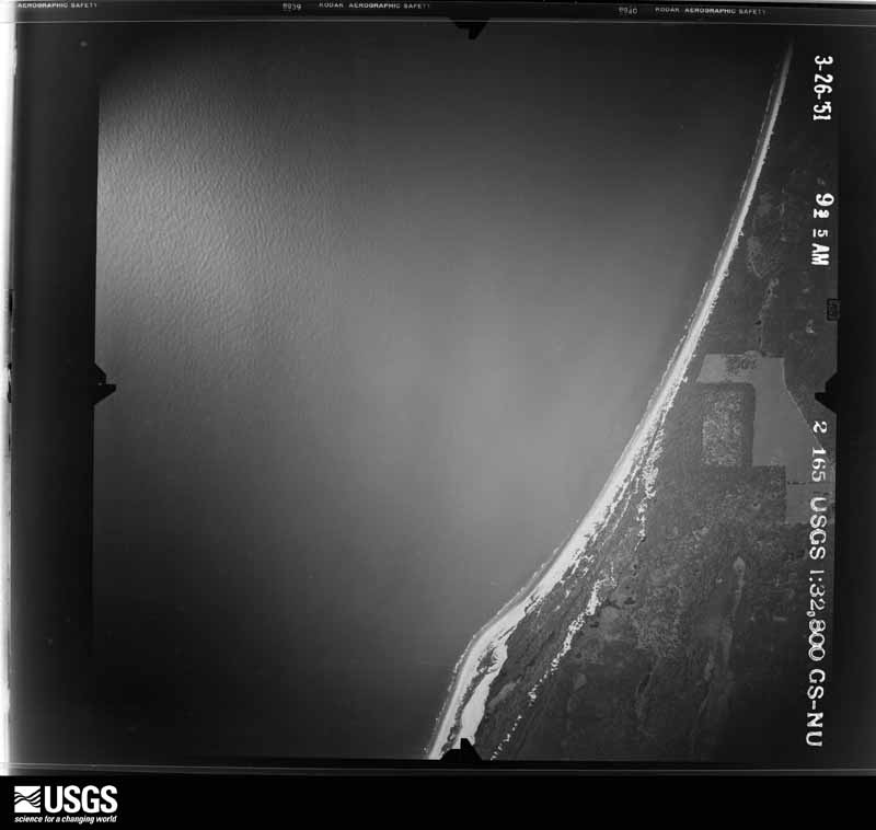
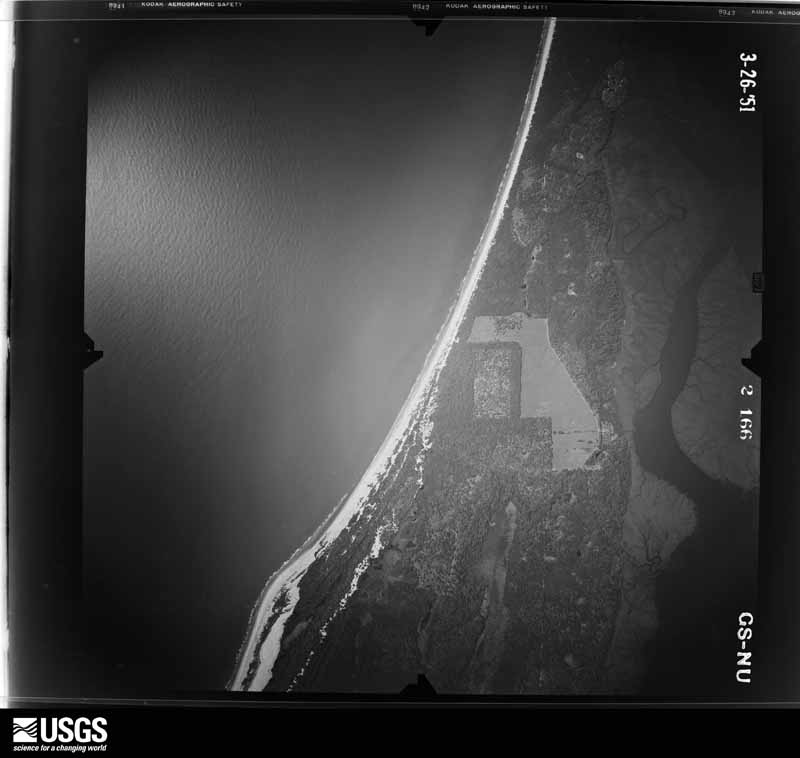
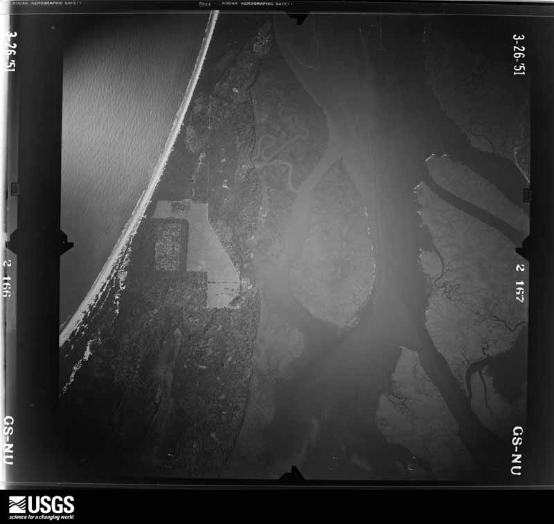
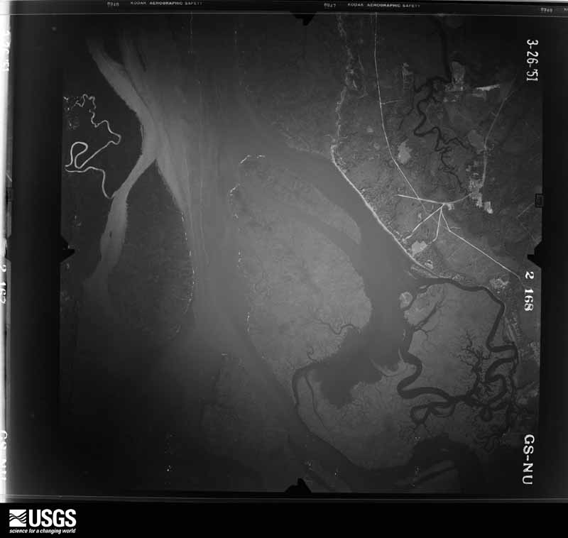
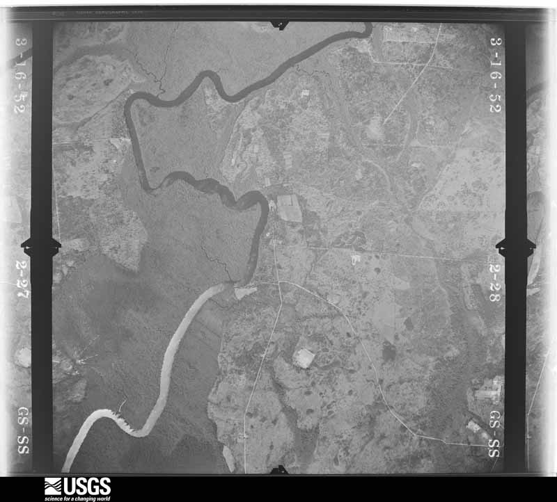
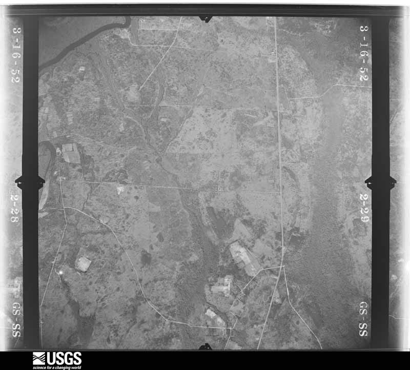
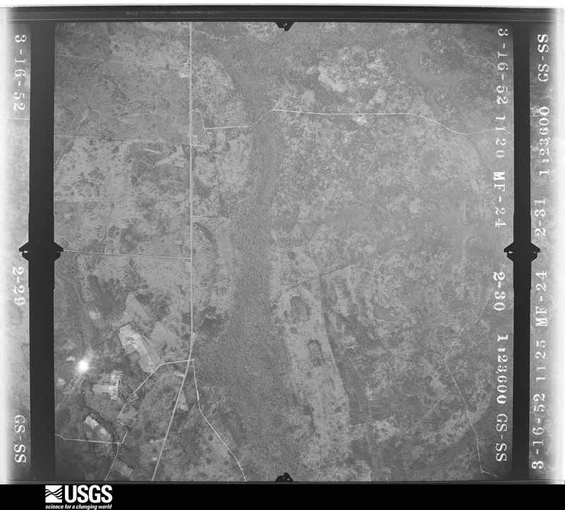
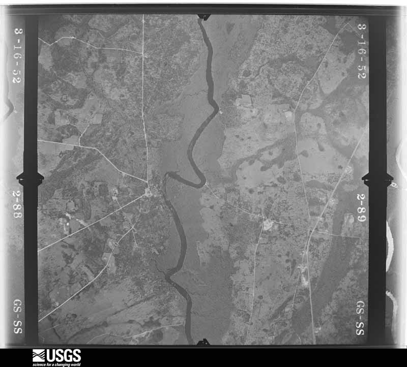
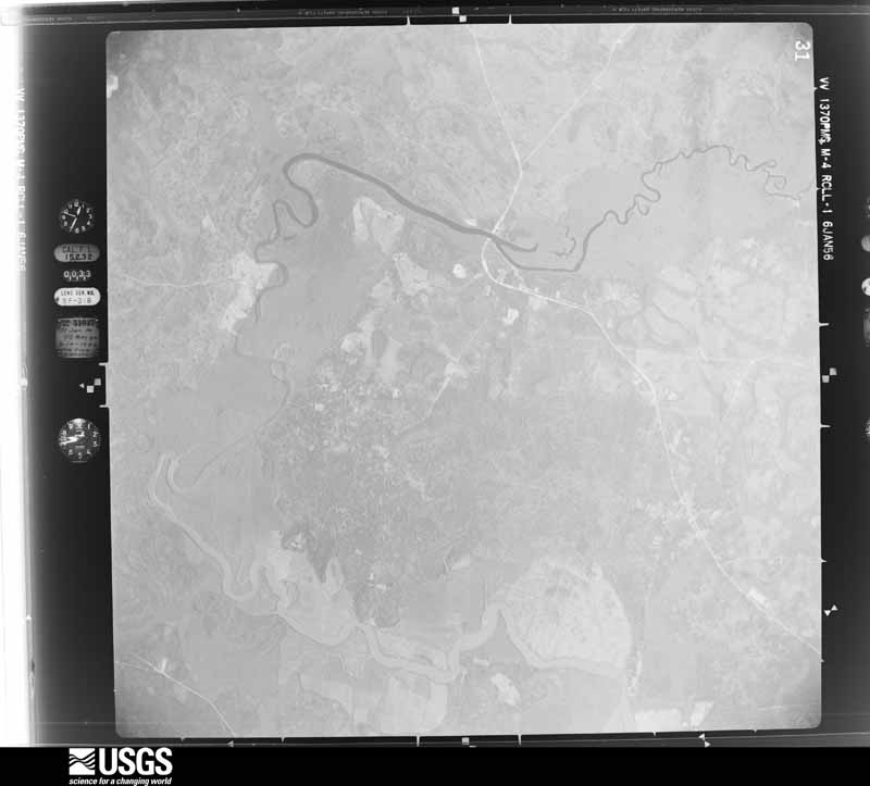
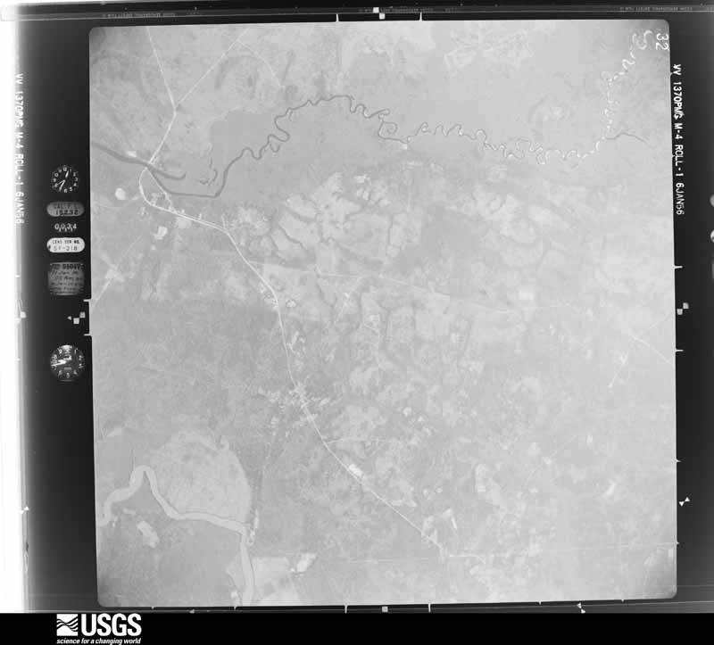
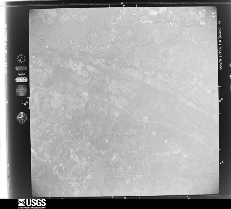
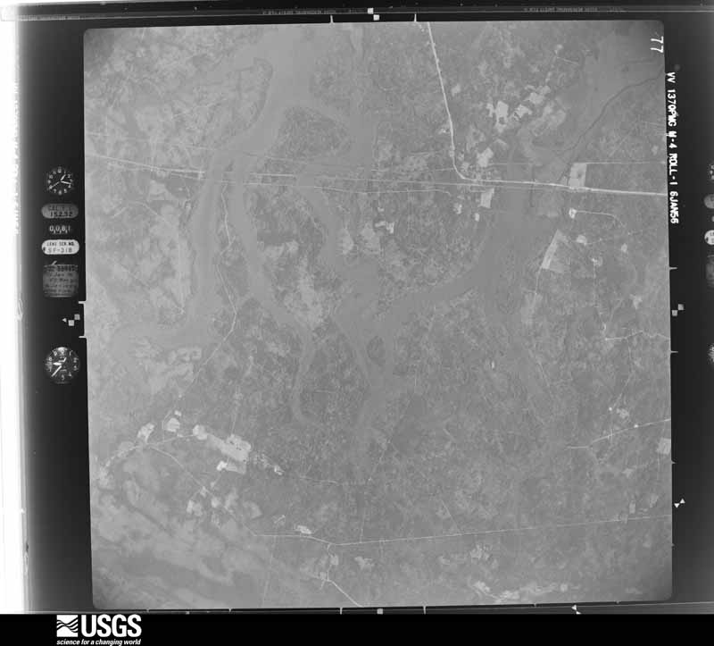
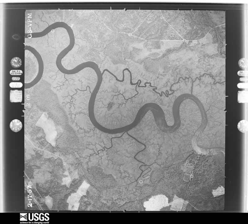
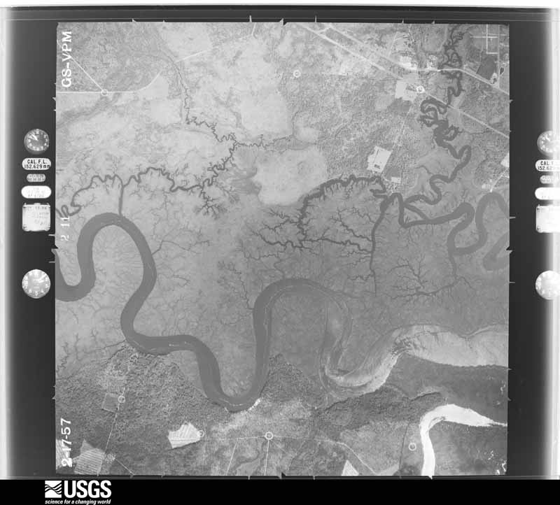
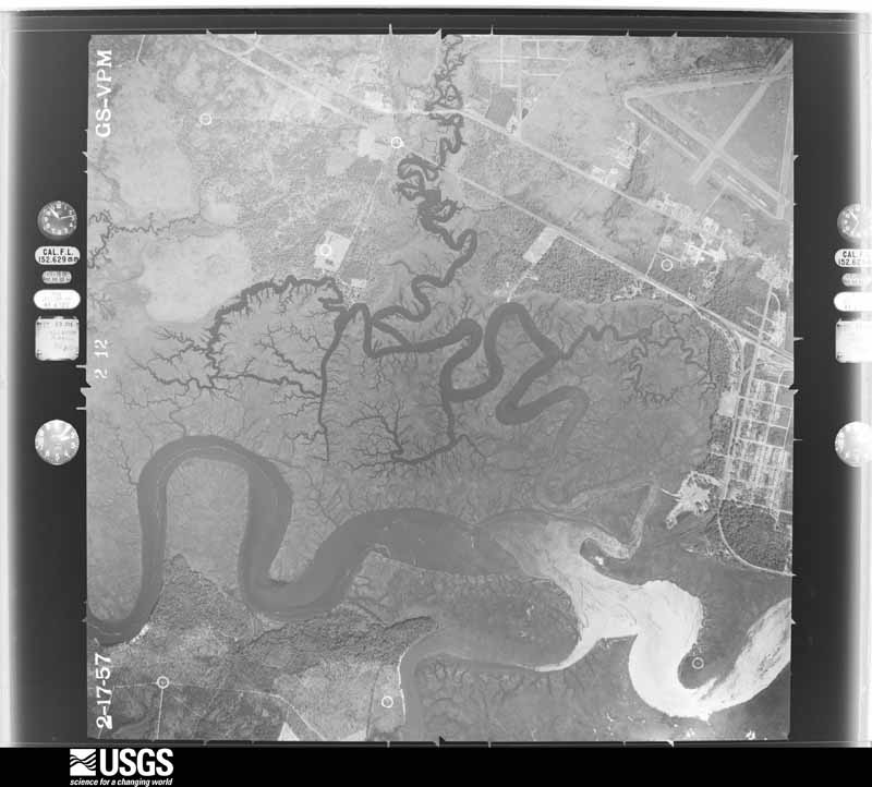
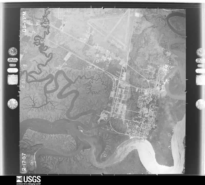
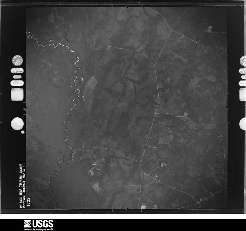
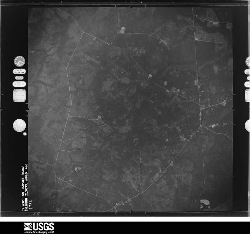
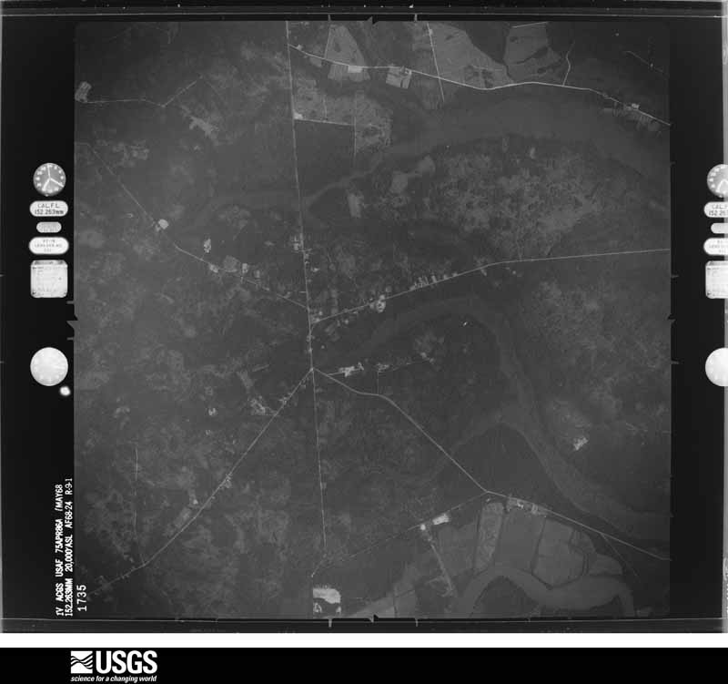
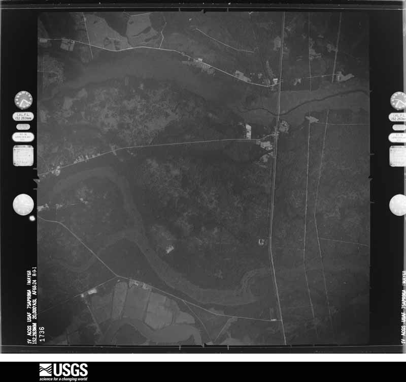
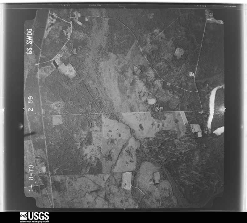
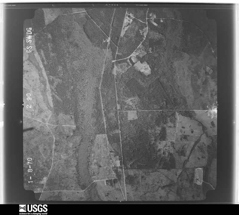
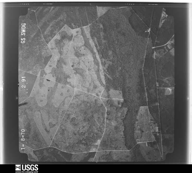
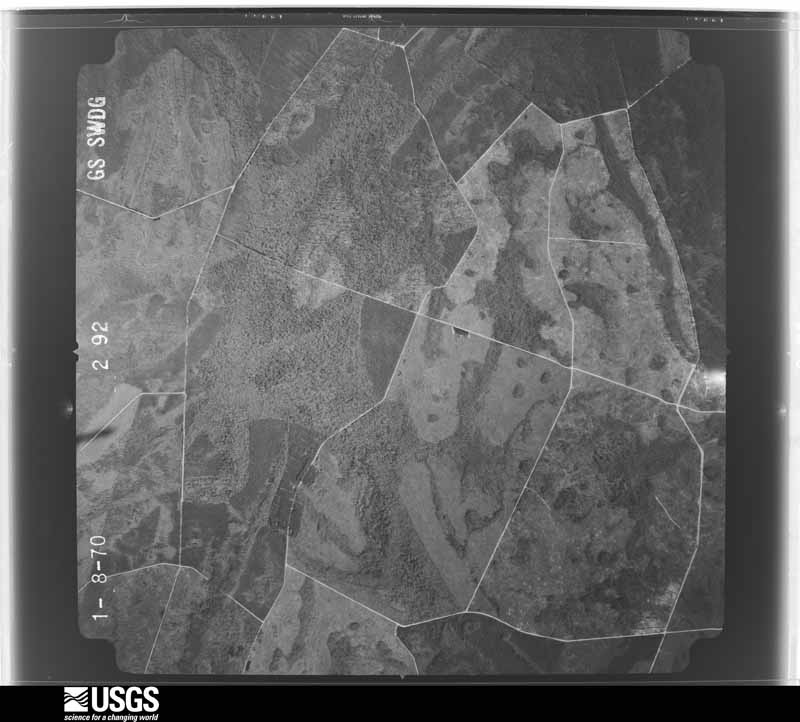
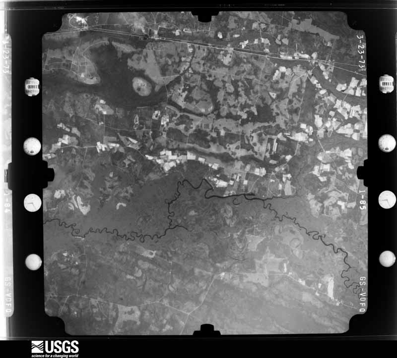
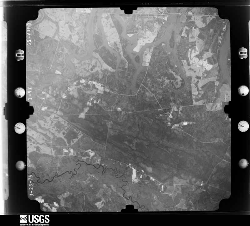
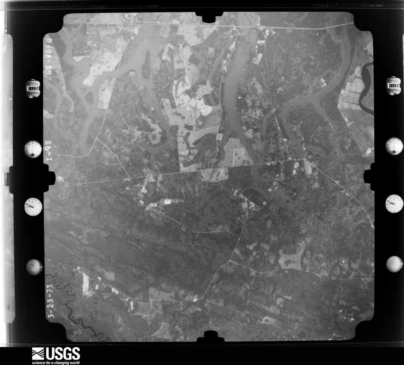
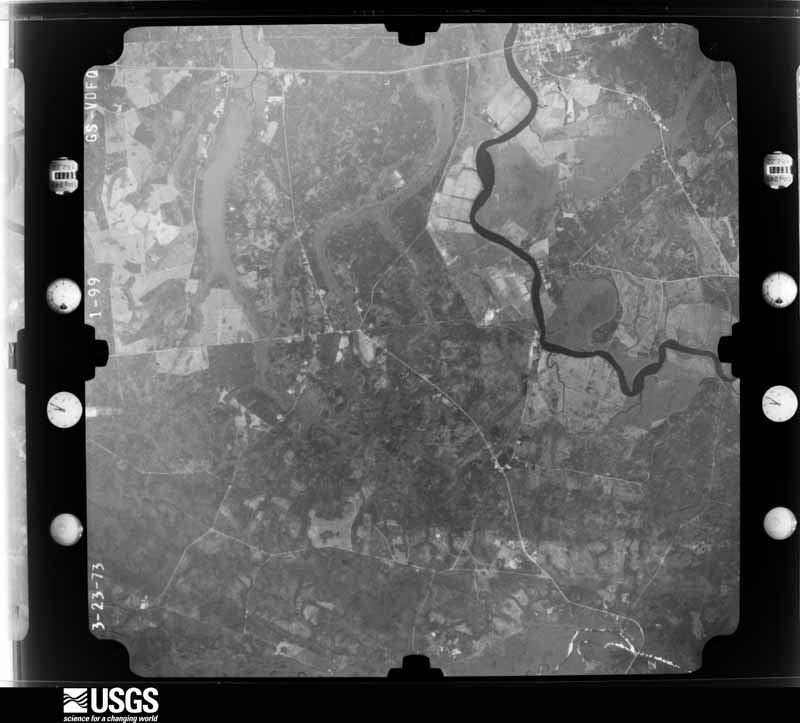
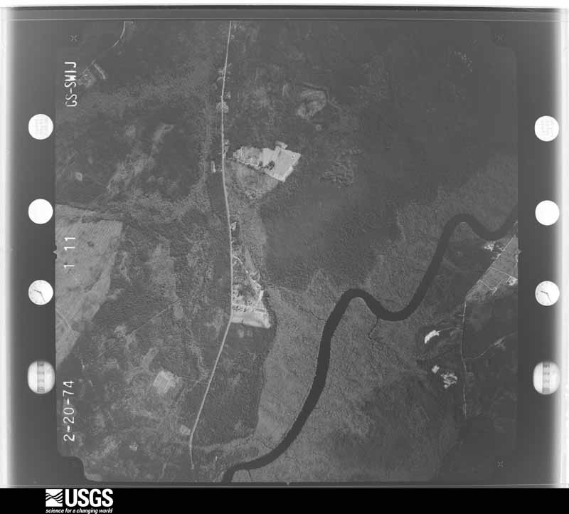
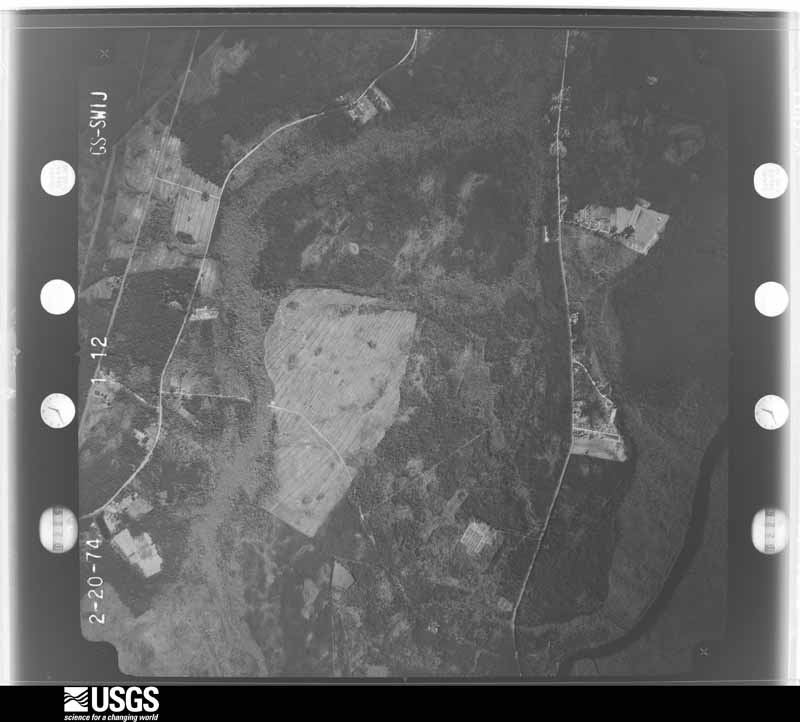
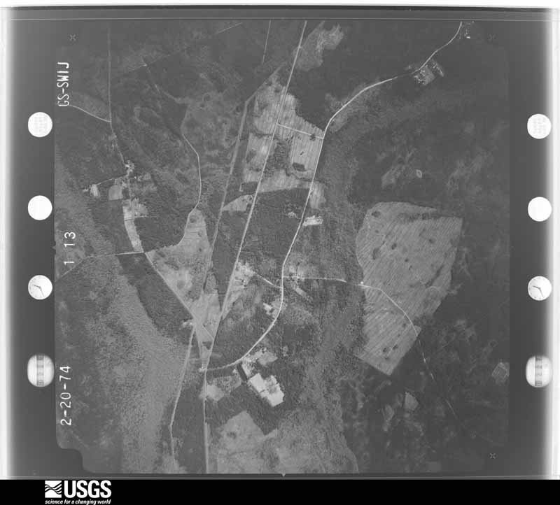
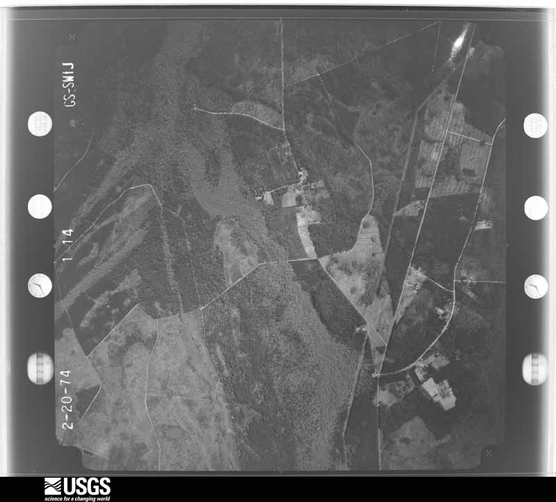
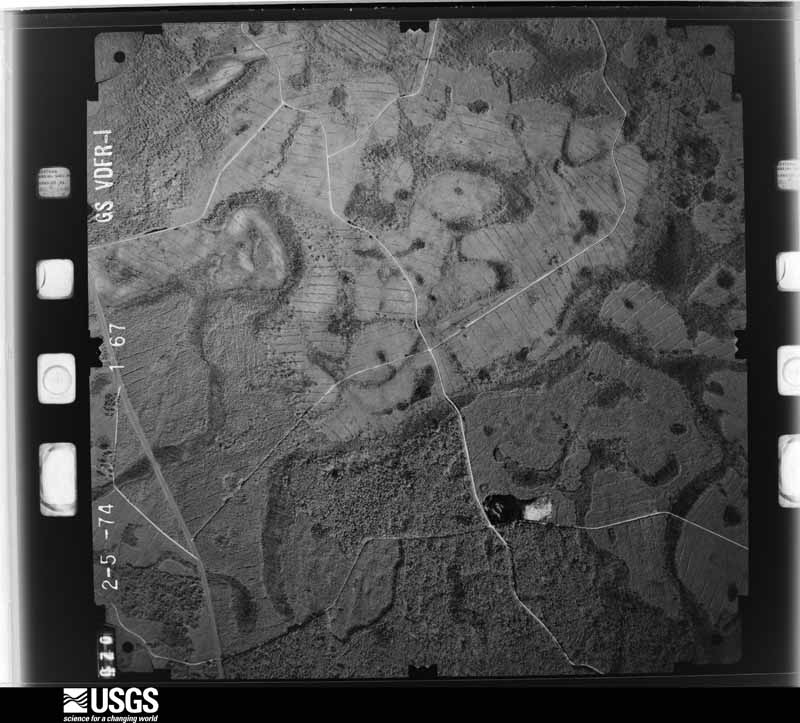
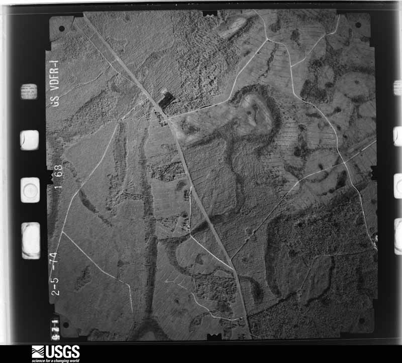
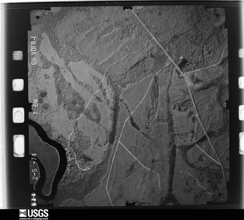
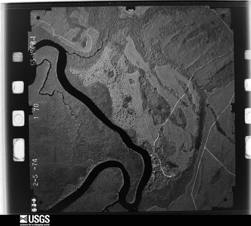
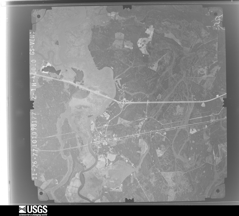
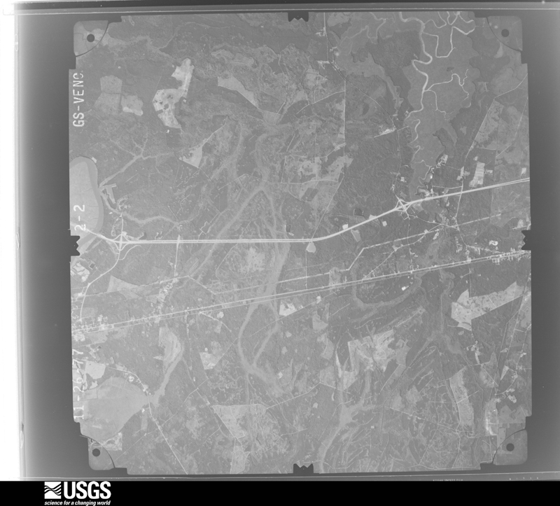
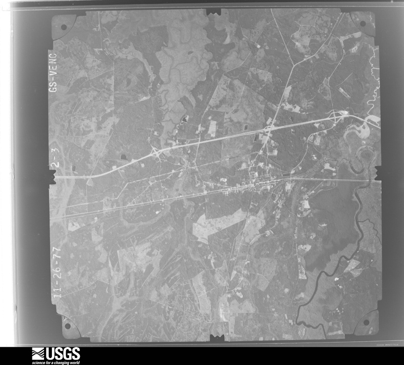
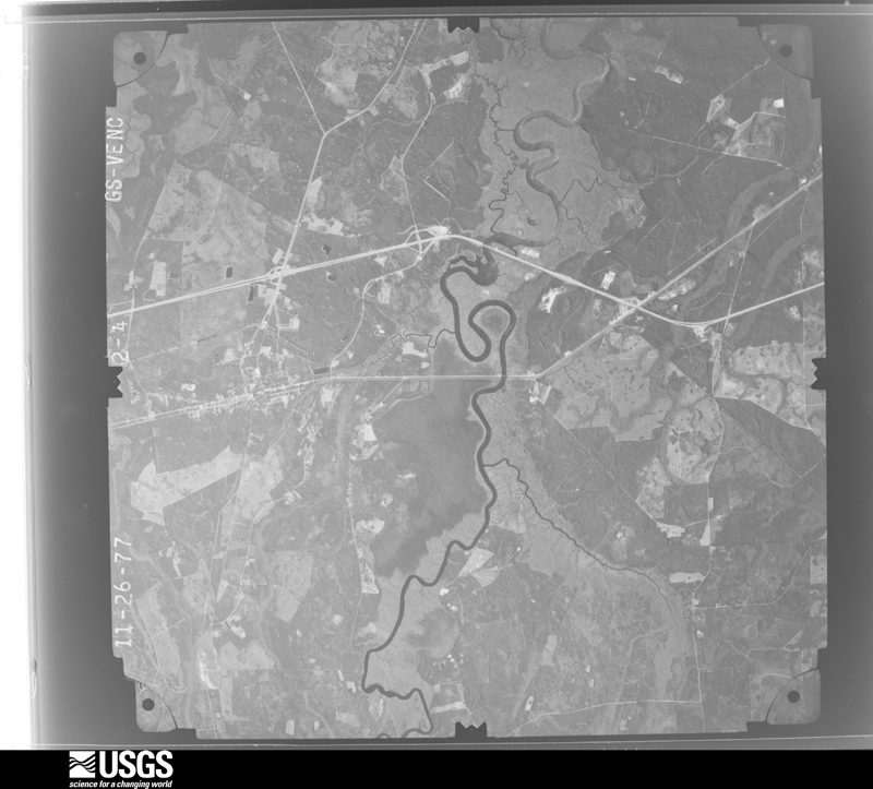
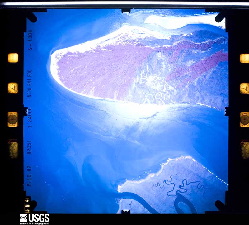
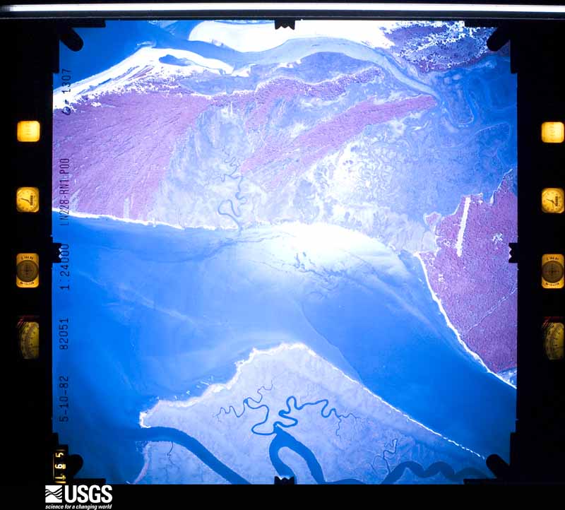
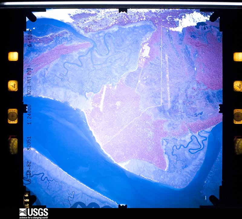
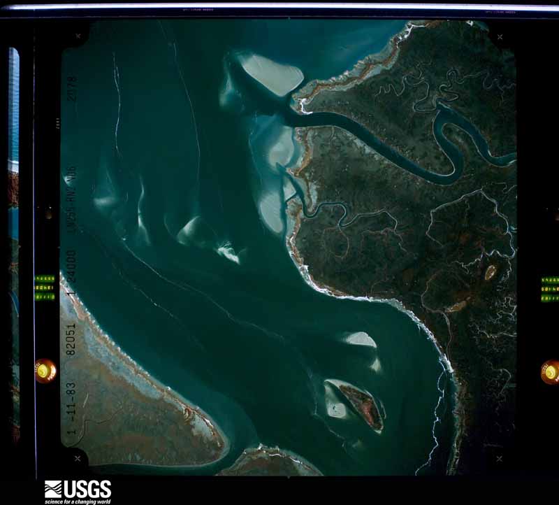
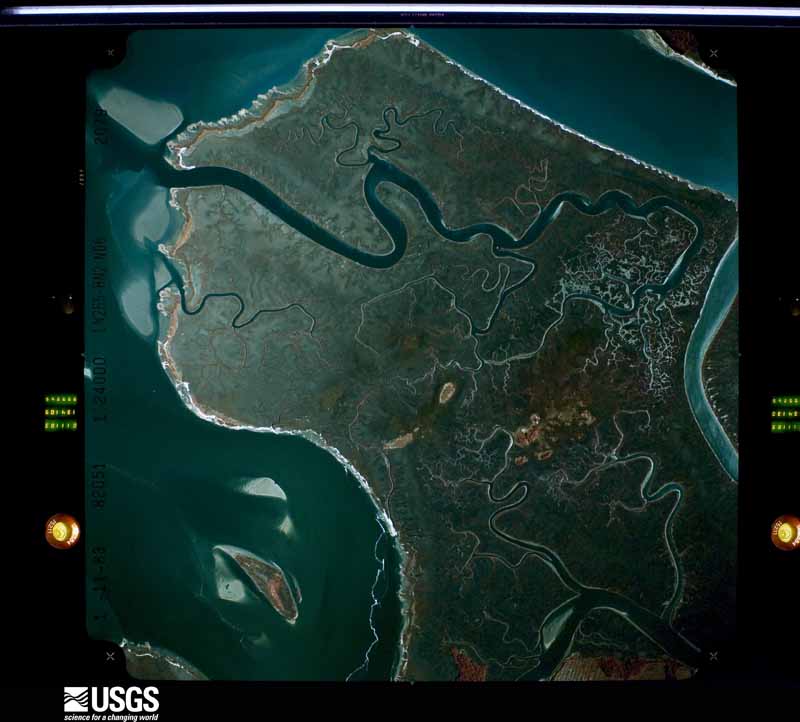
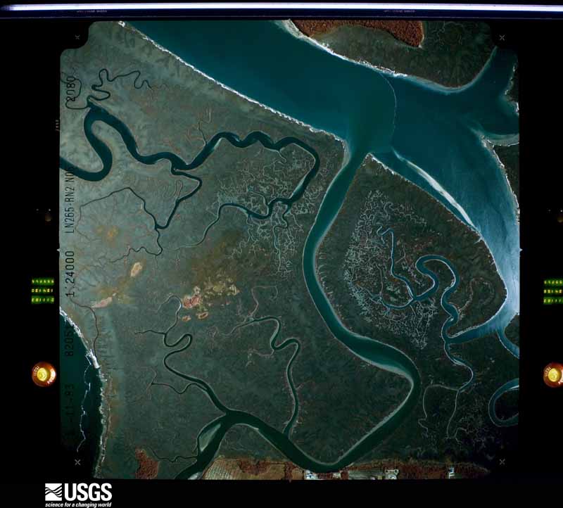
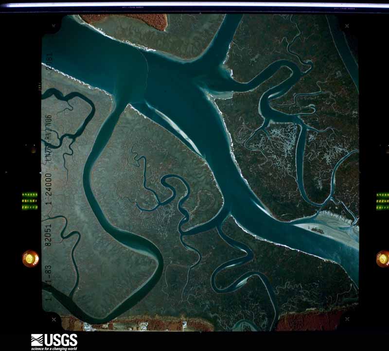
Flown by the U.S. Geological Survey between 1937 and 1989, the Aerial Photo Single Frames collection is the definitive mid-century view of the land: fields, roads and rivers as the camera saw them. The Survey holds 1,915 frames inside the rectangle that bounds this county; the 48 frames below were taken over the county itself, chosen across the decades of flights (at most four a year from that rectangle), so one flight cannot crowd out the rest. The full set is free to browse and download at EarthExplorer under the dataset Aerial Photo Single Frames.
The thermometers that kept this county's weather, as the federal records hold them. The extremes below are measured values from those records, not estimates.
Who lived here in 1950, one enumeration district at a time, as the Census Bureau described each district. Each row opens its official National Archives result, with Population Schedules and ED Maps available there.
Every wildfire the federal occurrence database records inside this county: 1,497 of them, burning about 13,499 acres. 357 started naturally and 272 were recorded as arson. Each settlement page carries the fires within five miles of it.
| Reported cause | Fires |
|---|---|
| Debris and open burning | 458 |
| Natural | 357 |
| Arson/incendiarism | 272 |
| Equipment and vehicle use | 135 |
| Misuse of fire by a minor | 111 |
| Missing data/not specified/undetermined | 79 |
| Smoking | 45 |
| Recreation and ceremony | 33 |
| Railroad operations and maintenance | 6 |
| Power generation/transmission/distribution | 1 |
The five largest, by the area the report gives. None of them was recorded as arson.
| Date | Cause | Size | Reported by | Name on the report |
|---|---|---|---|---|
| 22 June 2008 | Natural | 2,551 acres | Cumberland Island National Seashore | SOUTH CUT FIRE |
| 24 March 2011 | Debris and open burning | 2,500 acres | Georgia Forestry Commission | FY2011-CAMDEN-050 |
| 14 June 2011 | Missing data/not specified/undetermined | 1,200 acres | Georgia Forestry Commission | WAVERLY FIRE |
| 29 June 1998 | Natural | 589 acres | Georgia Forestry Commission | not named |
| 29 June 2019 | Natural | 441 acres | Cumberland Island National Seashore | WHITNEY FIRE |
| 26 August 1999 | Natural | 225 acres | Georgia Forestry Commission | not named |
| 12 May 2008 | Natural | 196 acres | Georgia Forestry Commission | SWAMP FIELD FIRE |
| 28 September 2011 | Natural | 175 acres | Georgia Forestry Commission | FY2012-CAMDEN-010 |
Every settlement page carries the fires within five miles of it - see the settlement index below.
The NOAA Storm Events Database holds 461 reports for this county, causing no deaths, 25 injuries and about $8,451,010 in recorded property damage. Each settlement page carries the reports that name it.
| Kind of event | Reports |
|---|---|
| Thunderstorm Wind | 264 |
| Hail | 95 |
| Heavy Rain | 37 |
| Tornado | 25 |
| Funnel Cloud | 13 |
| Lightning | 12 |
| Flood | 7 |
| Flash Flood | 5 |
| Waterspout | 2 |
| Winter Storm | 1 |
The most serious of them, by death, then injury, then recorded damage. The accounts are quoted exactly as the forecast office filed them.
| When | Event | Place named | Harm | What the report says |
|---|---|---|---|---|
| July 2021 | Tornado (EF1) | St Marys | 17 hurt | An EF1 tornado with peak winds near 100 mph touched down along East St. Mary's River Street, just north of the St. Mary's River, where tree trunks were snapped. The tornado strengthened to peak EF1 intensity and produced significant damage to residences along E. Conyers and Norris Streets in St. Mary's before pivoting north-northeastward. The tornado then damaged homes and apartments along Point Peter Road. The tornado reached maximum width near the Eagle Hammock RV Park at EF1 intensity. Multiple recreational vehicles were flipped over, with two completely flipped upside down. One RV was flipped and blown about 200 yards into a lake on the north side of the park. Several hardwood trees at the park were snapped. There was debris from the RVs scattered throughout the RV park area. The last of tornado damage included solar panel damage just south of Crooked River State Park. There were 17 reported injuries and 11 of the 17 had to be transported to a hospital. |
| December 2018 | Tornado (EF3) | St Marys Arpt | 4 hurt | National Weather Service Jacksonville Storm Survey|revealed damage consistent with EF-3 tornado damage at Naval |Submarine Base Kings Bay, which was confirmed by a 125 knot / 144 |mph maximum wind gust measurement from a docked Coast Guard |vessel. This is the strongest tornado in recent memory within the |National Weather Service Jacksonville's area of responsibility in |southeast Georgia, northeast and north central Florida. Four |injuries were reported by officials at Naval Submarine Base Kings |Bay. The tornado continued on an east-northeast path across |Cumberland Island, beginning from Old House Creek and exiting into|the Atlantic waters just south of the Stafford Beach Campground. |The tornado path across Cumberland Island was estimated by |Cumberland Island National Seashore park rangers to be |approximately one-third to one half mile wide. Significant tree |damage occurred within the tornado path across Cumberland Island, |with no structural damage reported. The main park road and several|trails on Cumberland Island were left impassable by the tree |damage. |
| October 1994 | Tornado (F2) | St. Mary | 1 hurt, $5,000,000 | The tornado touched down at Bartlett and St. Mary's Streets. Evidence of damage was found along Wheeler St., Norris St., and New Point Peter Rd. before the tornado lifted by the Cypress Lakes Subdivision. Eighty homes were caught in the path of the tornado as it moved northeast. Ten of these homes, mostly one-story wood, were destroyed. Five trailor homes were also toppled. One female suffered two sprained ankles when the tornado destroyed her home. |
| February 1998 | Tornado (F0) | Tarboro | 1 hurt, $35,000 | Mobile home overturned. One house damaged. Large trees and power lines were blown down. |
| July 2023 | Lightning | Kingsland | 1 hurt | Lightning struck a home in the Meadows subdivision west of Kingland and cause minor injuries and a house fire. The number of injured was unknown. The extent of fire damage to the home was unknown. |
| June 1996 | Lightning | Cumberland Island | 1 hurt | no account filed |
| July 2012 | Flood | Greenville | $800,000 | Widespread river flooding continued in southern Camden county due to historic flooding on the St. Marys River from heavy rainfall courtesy of Tropical Storm Debby. State Road 40 was closed between Kingsland and Folkston due to flooding. Numerous residences in Flea Hill were flooded and evacuated. About 37 homes in the Flea Hill area were flooded with river waters. The total cost of damage is still unknown, and for this recorded was estimated. |
| June 1995 | Tornado (F1) | St. Marys | $600,000 | Roof damage to Crooked River Elementary School, three classrooms were completely destroyed. Kings Bay Naval Submarine Base detective reported slight damage to McDonalds; numerous trees downed on base and campers and boats overturned at base recreation facilities. The storm damaged the auto body shop, tennis courts, batting cages, pitching machines, and several vehicles. |
| June 1995 | Tornado (F1) | St Marys | $350,000 | A short lived tornado touched down on Wheeler Street, and knocked down trees and powerlines in a four block area including Seagrove Street. Several homes and outhouses also sustained damage. |
| October 1992 | Tornado (F1) | not stated | $250,000 | no account filed |
| February 1984 | Tornado (F2) | not stated | $250,000 | no account filed |
| March 1976 | Tornado (F1) | not stated | $250,000 | no account filed |
| August 2009 | Lightning | St Marys | $200,000 | Lightning struck a cabinet store named Henry's Cabinets in St. Marys. Numerous explosions occurred due to lacquer's and other chemicals exploding inside the shop. All persons evacuated safely with no injuries. The shop was destroyed. The cost of damage was estimated. |
| January 2006 | Tornado (F0) | Woodbine | $200,000 | no account filed |
| December 2002 | Tornado (F0) | St Marys | $50,000 | Same system as in Charlton County. Two roofs partially off homes near Colrane Road and 1/2 of a roof missing from house at Natures End near Point Peter. Large trees over in yard. |
| March 1993 | Thunderstorm Wind | Woodbine | $50,000 | Thunderstorm winds blew down several large trees onto houses and flipped over a few trailers 2 miles southwest of Woodbine. |
| August 2000 | Thunderstorm Wind | Scarlet | $30,000 | Large trees and power lines were blown down. One home damaged. |
| July 1999 | Lightning | St Marys | $30,000 | Three house fires. |
| February 2006 | Thunderstorm Wind | Clarks Bluff | $25,000 | Trees down on power lines on Sherry Lane in Clarks Bluff. |
| June 1991 | Tornado (F0) | not stated | $25,000 | no account filed |
| February 1984 | Tornado (F1) | not stated | $25,000 | no account filed |
| September 1998 | Flash Flood | Countywide | $15,000 | Numerous streets were closed in St. Marys and Kingsland. The water was deep enough in to allow cars to float. Three homes had water damage. One family was relocated by the Red Cross. |
| October 1996 | Flash Flood | St Marys | $15,000 | no account filed |
| February 2003 | Thunderstorm Wind | Waverly | $10,000 | Large trees downed by high winds. Power poles down with a few poles snapped off. |
| July 2002 | Thunderstorm Wind | St Marys | $10,000 | Large oak trees down on houses. |
| July 2002 | Thunderstorm Wind | St Marys | $10,000 | Oak trees down. Hickory trees snapped and uprooted. Tree down on a house at 802 Bay Tree Circle. |
| November 2002 | Thunderstorm Wind | St Marys | $10,000 | Large trees down across various portions of the city. |
| September 2000 | Flash Flood | St Marys | $10,000 | Roads and streets flooded. |
| September 1997 | Thunderstorm Wind | Kingsland | $10,000 | Roof was torn off a church along SR-40. |
| July 2016 | Lightning | St Marys Arpt | $5,000 | A structure fire was caused by a lightning strike. The cost of damage was unknown but estimated for the event to be included in Storm Data. |
| July 1998 | Thunderstorm Wind | St Marys | $5,000 | Roof blown off house. |
| November 1995 | Thunderstorm Wind | not stated | $5,000 | Large trees and power lines were blown down throughout the county. |
| June 1994 | Thunderstorm Wind | Woodbine | $5,000 | Several large trees were downed by thunderstorm winds along U.S. Highway 17 and one tree was uprooted in Kingsland. |
| June 1994 | Thunderstorm Wind | Woodbine | $5,000 | Several large trees were downed by thunderstorm winds. |
| June 1994 | Thunderstorm Wind | Kingsland | $5,000 | Several large trees were downed by thunderstorm winds along Georgia Highway 40. |
| September 1993 | Thunderstorm Wind | Waverly | $5,000 | Several large trees and power lines were downed by thunderstorm winds. |
| June 2012 | Flash Flood | Scarlet | $4,000 | Homes on Thrift Road were surrounded by approaching flood waters. The cost of damage was estimated. |
| March 2001 | Thunderstorm Wind | Kingsland | $3,500 | Large trees and power lines were blown down. |
| July 2001 | Thunderstorm Wind | Woodbine | $3,500 | Large trees and power lines were blown down. |
| July 2001 | Thunderstorm Wind | Waverly | $3,500 | Large trees and power lines were blown down along HWY 17. |
| June 2000 | Thunderstorm Wind | Kingsland | $3,500 | Large trees and power lines were blown down. |
| May 2000 | Thunderstorm Wind | Kingsland | $3,500 | Large trees and power lines were blown down on peoples road. |
| May 2012 | Lightning | Kingsland | $3,000 | A house was struck by lightning at 33 Cooner Road in Kingsland. A small fire started in a wooded area. The cost of damage was estimated. |
| June 2010 | Lightning | Kingsland | $3,000 | A structural fire was started by lightning. The fire was ongoing at the time of the report. The event time was based on radar, and the cost of damage was estimated. |
| March 2000 | Thunderstorm Wind | St Marys | $3,000 | Damage to one home... roof and car port. Powerlines were blown down. |
| March 2000 | Hail | Kingsland | $3,000 | Minor vehicle damage. |
| March 2000 | Hail | Kingsland | $3,000 | Minor vehicle damage. |
| September 1998 | Thunderstorm Wind | Kingsland | $3,000 | Large trees and power lines were blown down. |
| March 2001 | Thunderstorm Wind | Kingsland | $2,500 | Large trees were blown down. |
| March 2001 | Thunderstorm Wind | Kingsland | $2,500 | Large trees and power lines were blown down. |
| May 2001 | Thunderstorm Wind | Kingsland | $2,500 | Large trees and power lines were blown down. |
| June 2001 | Thunderstorm Wind | Kingsland | $2,500 | Large trees and power lines were blown down. |
| September 2001 | Thunderstorm Wind | Waverly | $2,500 | Large trees and power lines were blown down. |
| September 2001 | Thunderstorm Wind | Kingsland | $2,500 | Large trees an power lines were blown down. |
| March 2000 | Thunderstorm Wind | St Marys | $2,500 | Large trees and power lines were blown down. |
| May 2000 | Thunderstorm Wind | St Marys | $2,500 | Large trees were blown down. |
| August 2000 | Thunderstorm Wind | Kingsland | $2,500 | Large trees and power lines were blown down. |
| August 2000 | Thunderstorm Wind | St Marys | $2,500 | Large trees and power lines were blown down. |
| July 2000 | Thunderstorm Wind | Woodbine | $2,500 | Large trees and power lines were blown down. |
| January 1999 | Thunderstorm Wind | Woodbine | $2,500 | Large trees and power lines were blown down. |
The Survey's mineral resources record lists 3 workings inside this county. None of them still produces: all are closed or unrecorded. Each settlement page carries the workings within five miles of it.
| Commodity | Workings |
|---|---|
| Thorium, REE, Zirconium, Titanium | 1 |
| Molybdenum, Titanium | 1 |
| Zirconium, Titanium | 1 |
The least common of them first, because a county's hundredth gravel pit says nothing its first ten did not.
| Where | Site | Commodity | Status | Recorded |
|---|---|---|---|---|
| Cumberland Island | Zirconium, Titanium | Prospect | PLACER, MARINE | |
| Cumberland Island Deposit | Thorium, REE, Zirconium, Titanium | Prospect | Beach Placer | |
| Cumberland Island Deposit | Molybdenum, Titanium | Prospect | Surface |
Named settlements recorded in the Geographic Names Information System, each with the topographic sheets covering it. Villages, hamlets and abandoned places alike. Each is shown with the nearest named watercourse or landform and the survey quadrangle it falls on.
St. Marys census division · 31558 · On Sweetwater Branch · Harrietts Bluff quadrangle
18 sheets, 1918 to 1994
Woodbine census division · By Horsepen Bluff · Kingsland NE quadrangle
17 sheets, 1918 to 1993
No longer a settlement
Woodbine census division · 31569 · Near Tillman Island · Woodbine quadrangle
18 sheets, 1918 to 1993
St. Marys census division · 31548 · Near Wrights Island · Kingsland quadrangle
17 sheets, 1918 to 1993
Kingsland census division · 31537 · On Riley Creek · Jerusalem quadrangle
17 sheets, 1917 to 1993
Woodbine census division · 31568 · By Magnolia Bluff · Burnt Fort quadrangle
17 sheets, 1917 to 1993
Kingsland census division · 31548 · On Little Catfish Creek · Kingsland quadrangle
17 sheets, 1918 to 1993
Kingsland census division · 31548 · On Catfish Creek · Kings Ferry quadrangle
17 sheets, 1917 to 1988
Kingsland census division · 31548 · On Catfish Creek · Kings Ferry quadrangle
17 sheets, 1917 to 1988
Kingsland census division · 31537 · By Coleraine Bluff · Boulogne quadrangle
17 sheets, 1917 to 1988
Woodbine census division · 31569 · Near Walker Swamp Island · Woodbine quadrangle
18 sheets, 1918 to 1993
Kingsland census division · 31548 · On Little Catfish Creek · Kingsland quadrangle
17 sheets, 1918 to 1993
St. Marys census division · 31558 · Near Laurel Island · Harrietts Bluff quadrangle
18 sheets, 1918 to 1994
St. Marys census division · 31558 · By Millers Bluff · Saint Marys quadrangle
23 sheets, 1918 to 1993
Kingsland census division · 31548 · On May Branch · Kingsland quadrangle
17 sheets, 1918 to 1993
St. Marys census division · 31558 · Near Big Marsh Island · Fernandina Beach quadrangle
22 sheets, 1919 to 1994
Woodbine census division · 31565 · Near Cedar Island · Dover Bluff quadrangle
18 sheets, 1918 to 1993
No longer a settlement
St. Marys census division · 31558 · By Elliotts Bluff · Harrietts Bluff quadrangle
18 sheets, 1918 to 1994
St. Marys census division · 31558 · By Mush Bluff · Harrietts Bluff quadrangle
18 sheets, 1918 to 1994
Kingsland census division · 31548 · On Little Catfish Creek · Kingsland quadrangle
17 sheets, 1918 to 1993
Kingsland census division · 31548 · On Mallets Creek · Kings Ferry quadrangle
17 sheets, 1917 to 1988
Kingsland census division · 31548 · On Little Catfish Creek · Kingsland quadrangle
17 sheets, 1918 to 1993
St. Marys census division · 31558 · By Mush Bluff · Harrietts Bluff quadrangle
18 sheets, 1918 to 1994
Kingsland census division · 31548 · On Horsepen Creek · Kings Ferry quadrangle
17 sheets, 1917 to 1988
No longer a settlement
Woodbine census division · 31565 · Near Gowrie Island · Bladen quadrangle
18 sheets, 1918 to 1993
Woodbine census division · 31568 · Tarboro quadrangle
17 sheets, 1917 to 1993
No longer a settlement
Kingsland census division · 31548 · On Little Catfish Creek · Kingsland quadrangle
17 sheets, 1918 to 1993
Kingsland census division · 31548 · On Mallets Creek · Kings Ferry quadrangle
17 sheets, 1917 to 1988
St. Marys census division · 31558 · Near Drum Point Island · Cumberland Island South quadrangle
22 sheets, 1918 to 1994
Kingsland census division · 31548 · On Little Catfish Creek · Kingsland quadrangle
17 sheets, 1918 to 1993
No longer a settlement
Woodbine census division · 31569 · On Deep Creek · Kingsland NE quadrangle
17 sheets, 1918 to 1993
Woodbine census division · 31569 · On Dunn Branch · Woodbine quadrangle
18 sheets, 1918 to 1993
St. Marys census division · 31558 · On Sweetwater Branch · Harrietts Bluff quadrangle
18 sheets, 1918 to 1994
Woodbine census division · 31569 · On Sadlers Creek · Harrietts Bluff quadrangle
18 sheets, 1918 to 1994
Woodbine census division · 31569 · Near Sheffield Island · Kingsland quadrangle
17 sheets, 1918 to 1993
Woodbine census division · 31568 · On Armstrong Creek · Jerusalem quadrangle
17 sheets, 1917 to 1993
Woodbine census division · 31565 · Near Hogans Island · Dover Bluff quadrangle
18 sheets, 1918 to 1993
St. Marys census division · 31558 · By Stockwell Bluff · Cumberland Island North quadrangle
19 sheets, 1918 to 1998
St. Marys census division · 31558 · On Sweetwater Branch · Harrietts Bluff quadrangle
18 sheets, 1918 to 1994
Woodbine census division · 31565 · Near Hogans Island · Dover Bluff quadrangle
18 sheets, 1918 to 1993
Woodbine census division · 31568 · On Monkey Island Creek · Jerusalem quadrangle
17 sheets, 1917 to 1993
Kingsland census division · 31569 · On North Fork Crooked River · Kingsland quadrangle
17 sheets, 1918 to 1993
Woodbine census division · 31565 · Dover Bluff quadrangle
18 sheets, 1918 to 1993
No longer a settlement
St. Marys census division · 31558 · By Millers Bluff · Saint Marys quadrangle
23 sheets, 1918 to 1993
Woodbine census division · 31569 · By London Hill Bluff · Harrietts Bluff quadrangle
18 sheets, 1918 to 1994
Woodbine census division · 31569 · By Simmons Bluff · Harrietts Bluff quadrangle
18 sheets, 1918 to 1994
St. Marys census division · 31558 · On Marianna Creek · Harrietts Bluff quadrangle
18 sheets, 1918 to 1994
No longer a settlement
St. Marys census division · 31548 · Harrietts Bluff quadrangle
18 sheets, 1918 to 1994
Kingsland census division · 31548 · On May Branch · Kingsland quadrangle
17 sheets, 1918 to 1993
Kingsland census division · 31537 · By Long Bluff · Burnt Fort quadrangle
17 sheets, 1917 to 1993
St. Marys census division · 31558 · Harrietts Bluff quadrangle
18 sheets, 1918 to 1994
St. Marys census division · 31558 · On Sweetwater Branch · Harrietts Bluff quadrangle
18 sheets, 1918 to 1994
St. Marys census division · 31558 · On Sweetwater Branch · Harrietts Bluff quadrangle
18 sheets, 1918 to 1994
St. Marys census division · 31558 · By Mush Bluff · Harrietts Bluff quadrangle
18 sheets, 1918 to 1994
St. Marys census division · 31558 · On Sweetwater Branch · Harrietts Bluff quadrangle
18 sheets, 1918 to 1994
St. Marys census division · 31558 · By Millers Bluff · Harrietts Bluff quadrangle
18 sheets, 1918 to 1994
Woodbine census division · 31569 · Near Monkey Island · Woodbine quadrangle
18 sheets, 1918 to 1993
St. Marys census division · 31558 · On Sweetwater Branch · Harrietts Bluff quadrangle
18 sheets, 1918 to 1994
Woodbine census division · 31568 · Near Blues Island · Burnt Fort quadrangle
17 sheets, 1917 to 1993
Woodbine census division · 31568 · On Quarterman Creek · Waverly quadrangle
18 sheets, 1918 to 1993
Woodbine census division · 31568 · On Miller Creek · Woodbine quadrangle
18 sheets, 1918 to 1993
No longer a settlement
St. Marys census division · 31558 · By Mush Bluff · Harrietts Bluff quadrangle
18 sheets, 1918 to 1994
St. Marys census division · 31558 · On Sweetwater Branch · Harrietts Bluff quadrangle
18 sheets, 1918 to 1994
Woodbine census division · 31569 · On Sadlers Creek · Harrietts Bluff quadrangle
18 sheets, 1918 to 1994
St. Marys census division · 31558 · On Dark Entry Creek · Saint Marys quadrangle
23 sheets, 1918 to 1993
Woodbine census division · 31569 · On Dunn Branch · Woodbine quadrangle
18 sheets, 1918 to 1993
Woodbine census division · 31569 · By Simmons Bluff · Harrietts Bluff quadrangle
18 sheets, 1918 to 1994
Woodbine census division · 31569 · By Simmons Bluff · Harrietts Bluff quadrangle
18 sheets, 1918 to 1994
St. Marys census division · 31558 · On North River · Saint Marys quadrangle
23 sheets, 1918 to 1993
Woodbine census division · 31569 · Near Floyd Hammock · Kingsland quadrangle
17 sheets, 1918 to 1993
St. Marys census division · 31558 · On Dark Entry Creek · Saint Marys quadrangle
23 sheets, 1918 to 1993
Woodbine census division · On Cottage Creek · Kingsland NE quadrangle
17 sheets, 1918 to 1993
Woodbine census division · 31565 · On Gowrie Creek · Waverly quadrangle
18 sheets, 1918 to 1993
St. Marys census division · 31558 · On Stafford Island · Cumberland Island South quadrangle
22 sheets, 1918 to 1994
St. Marys census division · 31558 · Harrietts Bluff quadrangle
18 sheets, 1918 to 1994
Kingsland census division · 31548 · On Little Catfish Creek · Kingsland quadrangle
17 sheets, 1918 to 1993
Kingsland census division · 31569 · On Rose Creek · Jerusalem quadrangle
17 sheets, 1917 to 1993
Kingsland census division · 31548 · On Little Catfish Creek · Kingsland quadrangle
17 sheets, 1918 to 1993
No longer a settlement
Woodbine census division · 31565 · Near Clarks Island · Waverly quadrangle
18 sheets, 1918 to 1993
Woodbine census division · 31569 · On Miller Creek · Woodbine quadrangle
18 sheets, 1918 to 1993
The vanished settlements of Camden County: the places named above that are no longer on the map.
The complete index, with nothing left out. Each of these is a separate record with its own page: a federal survey report, or the case file that argued a property on to the National Register. Both are public domain and reproduced word for word.
The vanished settlements of Camden County, the places these records name that are no longer on the map.