 Block
From the record
9 National Register listings published here.
Sources: the National Register database, National Park Service
61 topographic sheets cover 52 settlements here, and 9 properties are on the National Register of Historic Places.
9 National Register listings published here.
Sources: the National Register database, National Park Service
Taken for the Office of War Information and the Farm Security Administration, who photographed the country between 1935 and 1944. Works of United States government photographers, with no known restriction on use. Each opens its catalogue record.
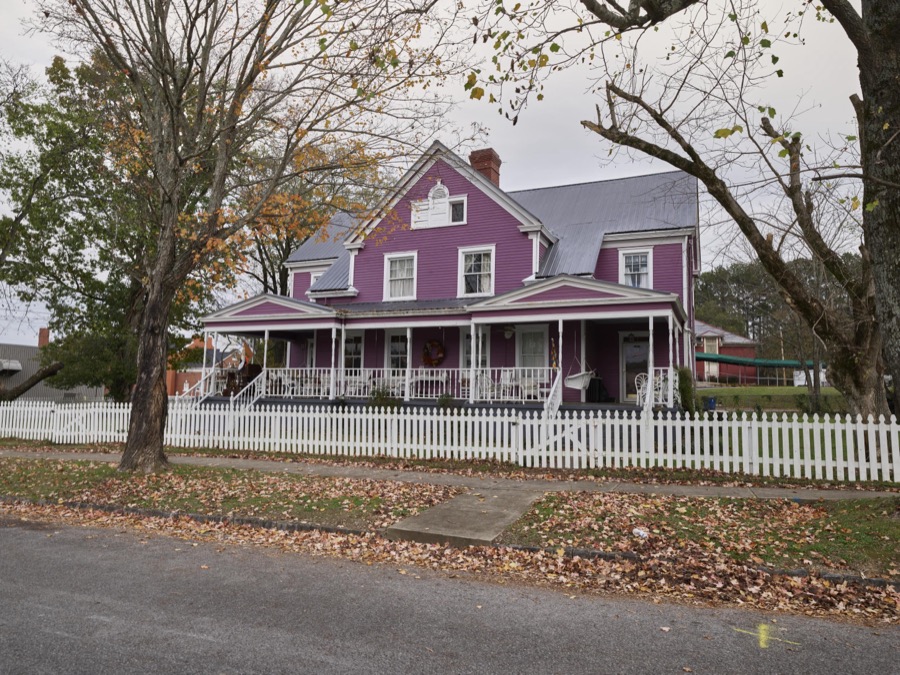
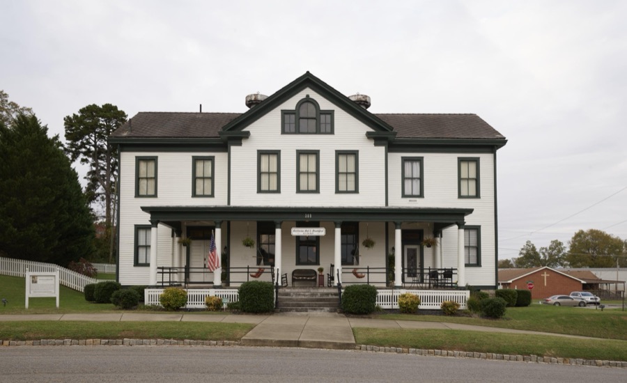
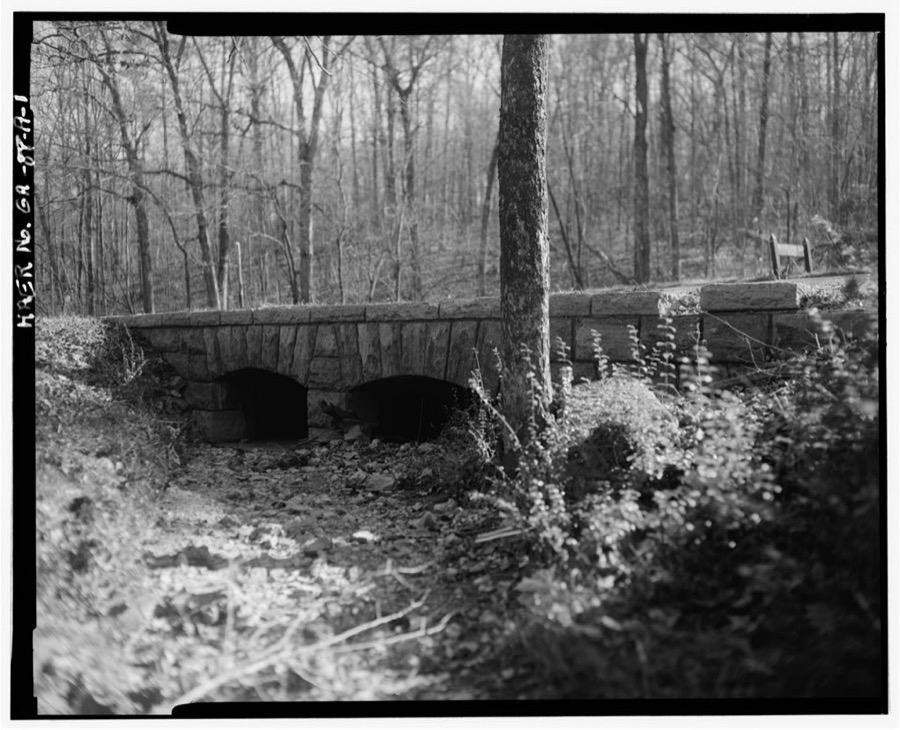
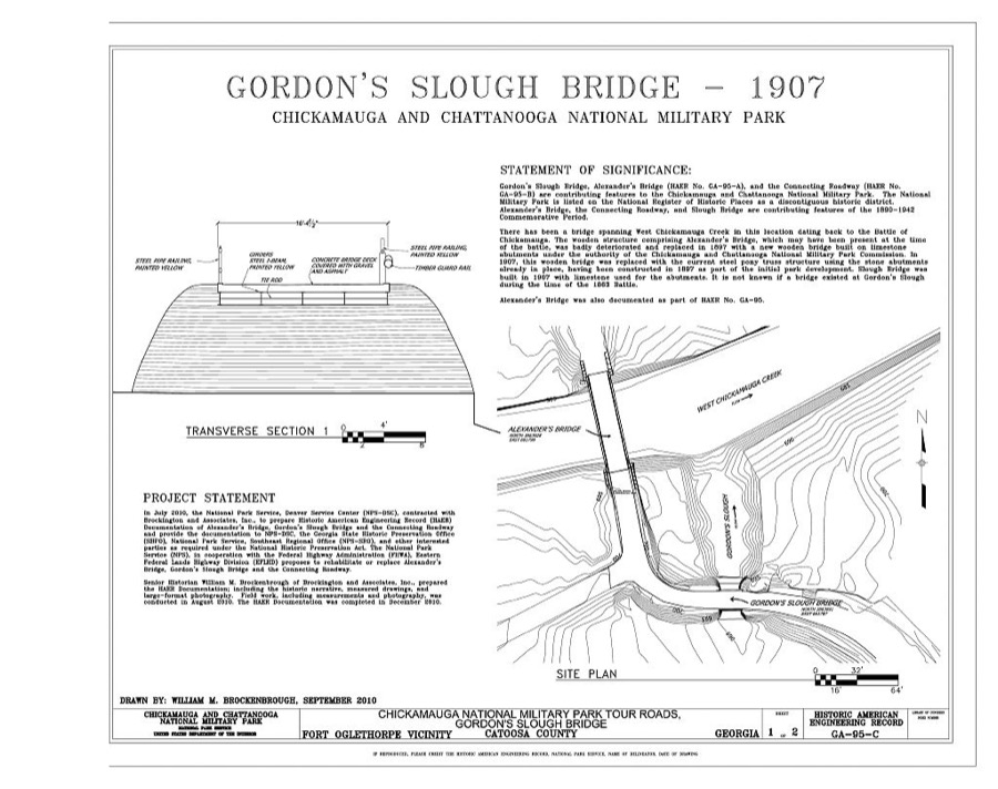
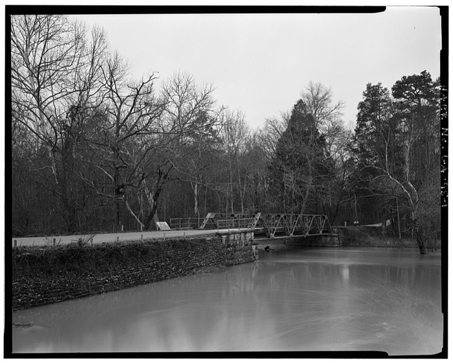
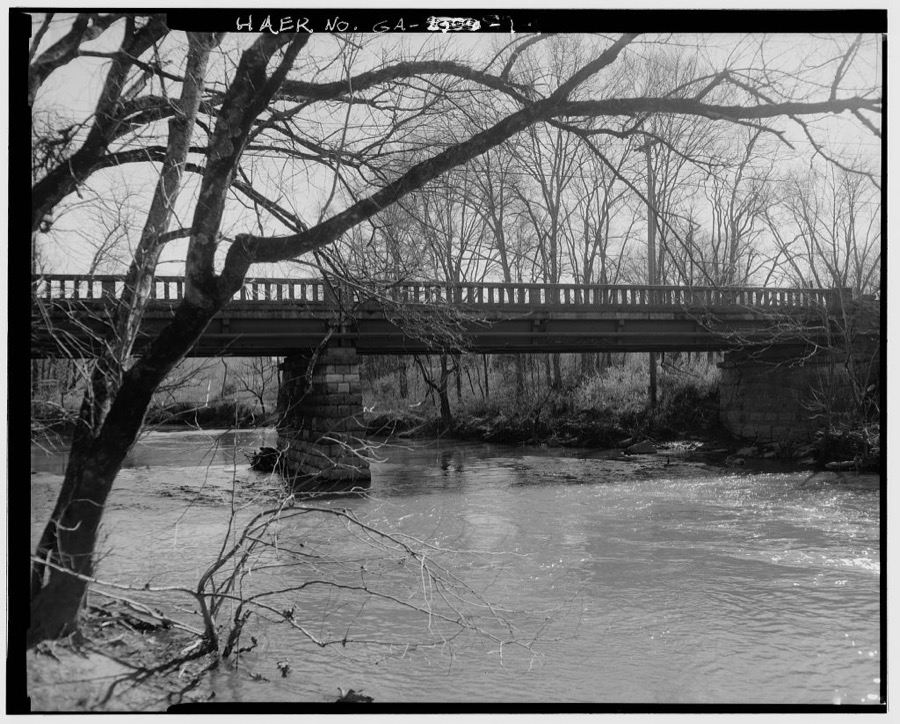
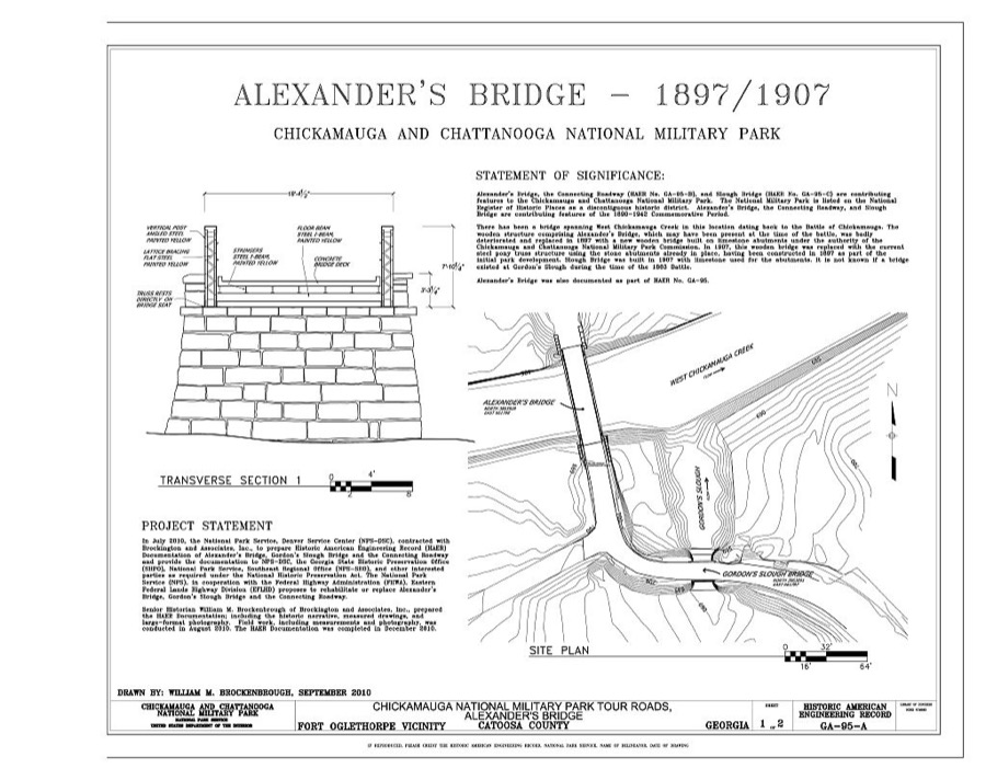
Every property in this county listed on the National Register of Historic Places, with the year it was listed and the federal nomination document.
| Photograph | Property | Type | Listed | Reference |
|---|---|---|---|---|
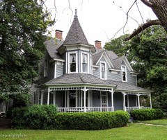 | Blackford-Gray House | building | 2007 | 07000247 |
 | Catoosa County Courthouse | building | 2006 | 06000844 |
 | Chickamauga and Chattanooga National Military Park | district | 1966 | 66000274 |
| Fort Oglethorpe Historic District | district | 1979 | 79000702 | |
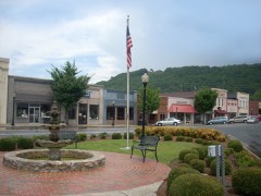 | Ringgold Commercial Historic District | district | 1992 | 91002001 |
 | Ringgold Depot | building | 1978 | 78000968 |
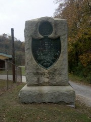 | Ringgold Gap Battlefield | district | 2011 | 11000079 |
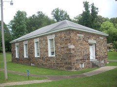 | Stone Church | building | 1979 | 79000703 |
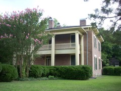 | Whitman-Anderson House | building | 1977 | 77000412 |
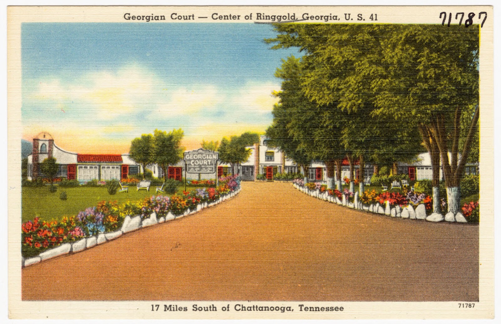
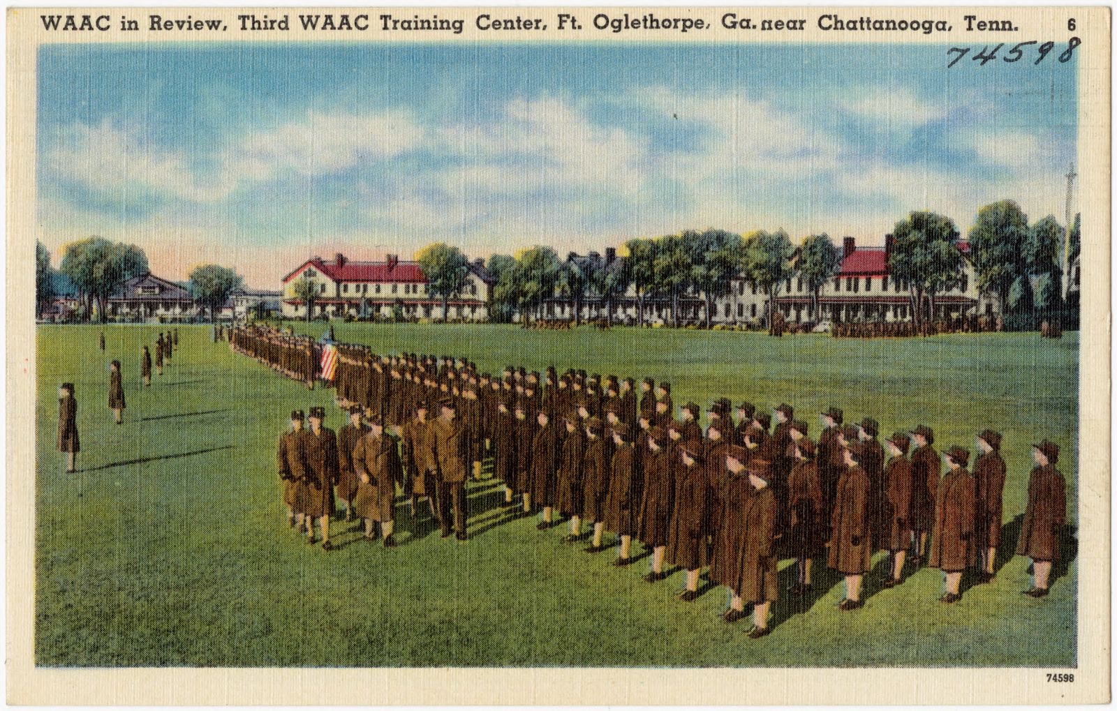
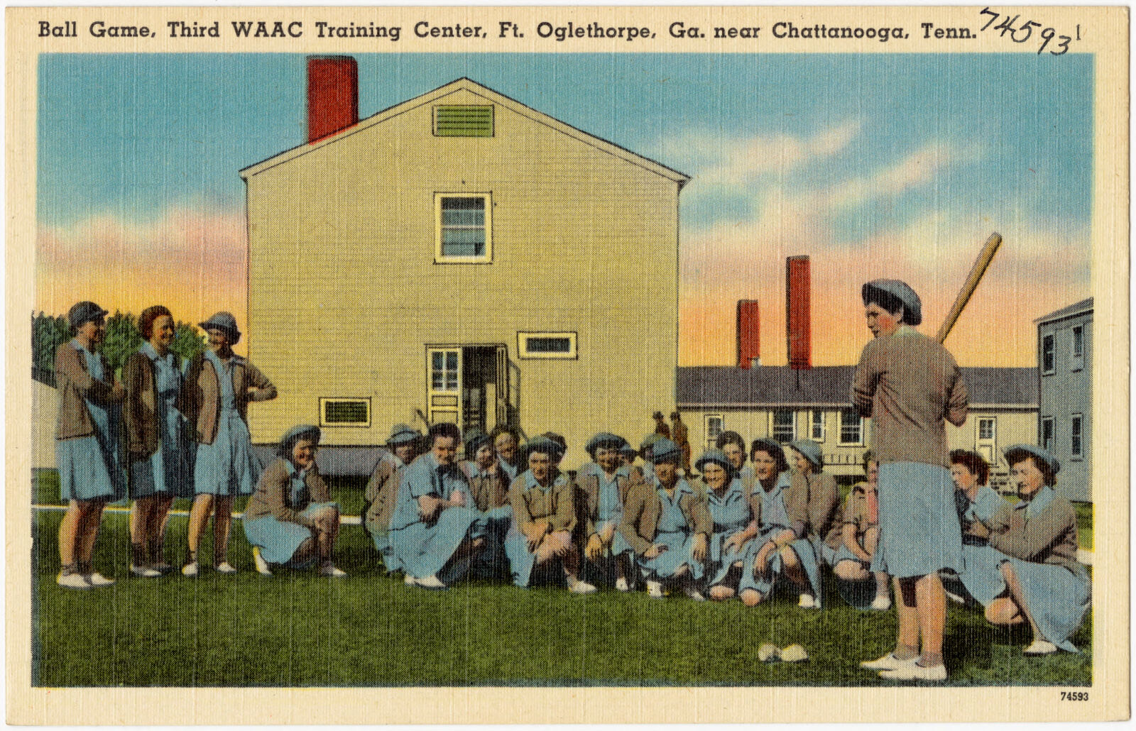
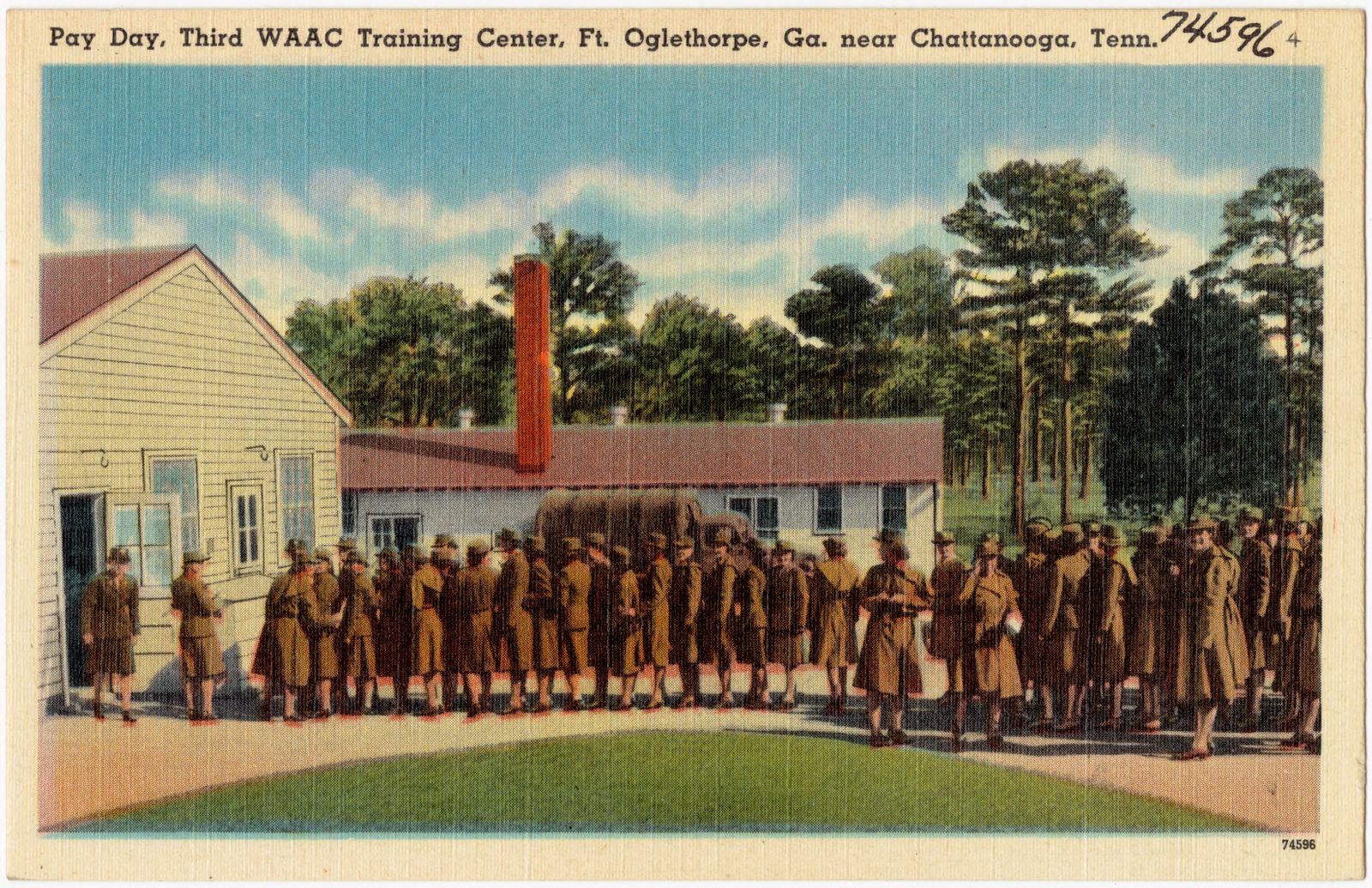
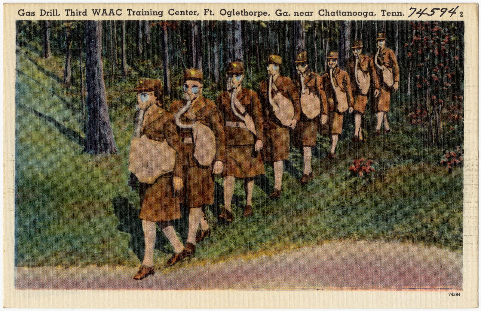
Selected from the Digital Public Library of America's 8 image records catalogued for this county. Every one shown here carries a public-domain status or a licence that permits reuse on a site that carries advertising; non-commercial, share-alike and restricted images are excluded. The selection is spread across the county's towns (at most eight per town), so no single institution's bulk upload crowds out the rest. Each opens the holding library's record, and the complete set at the Digital Public Library of America is one click away.

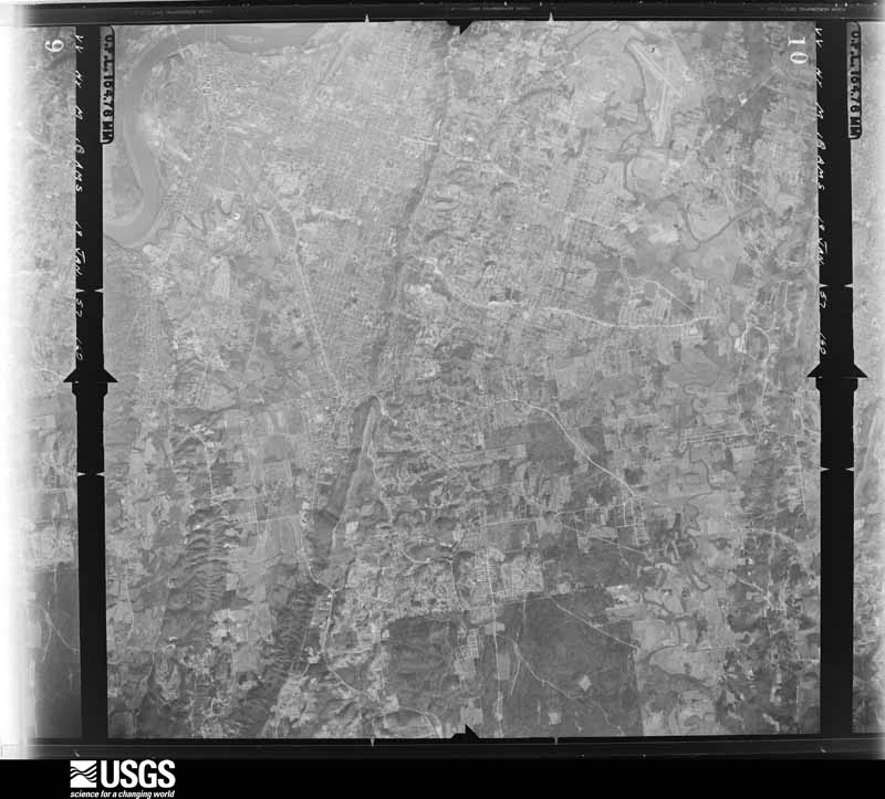
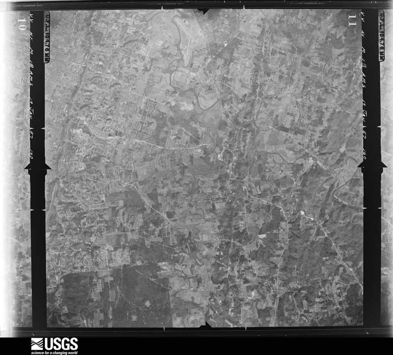
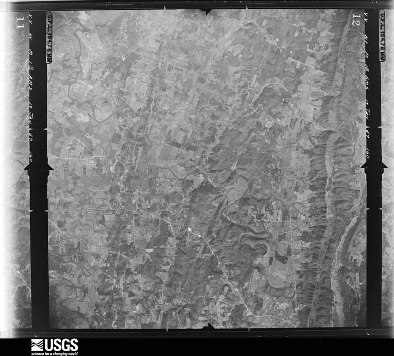
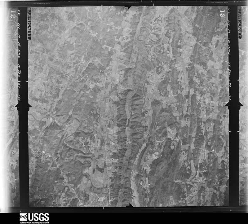
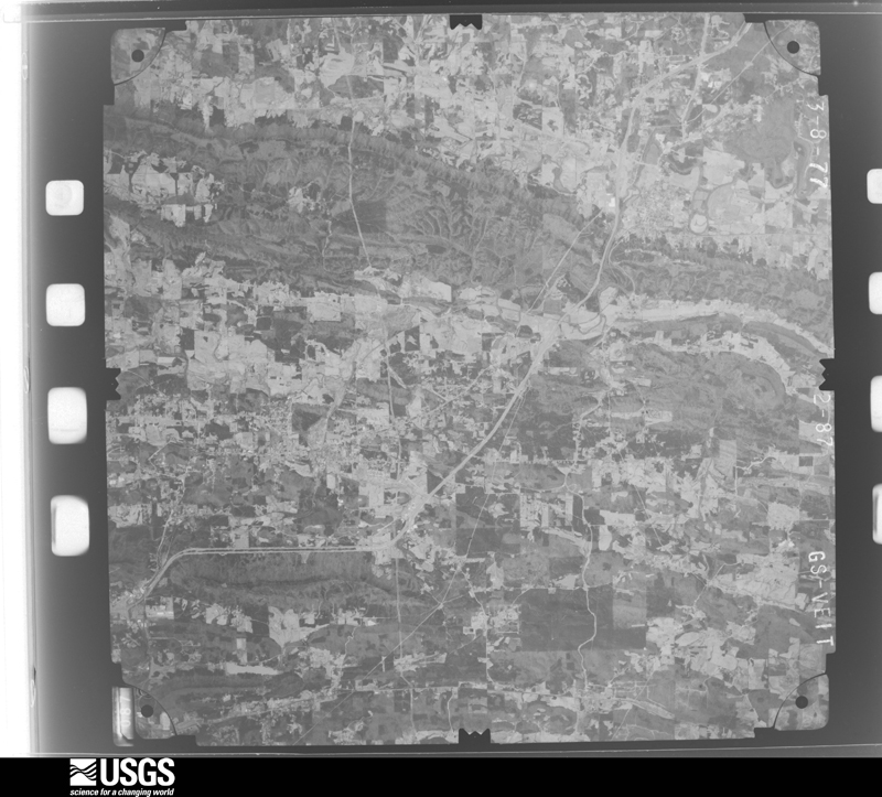
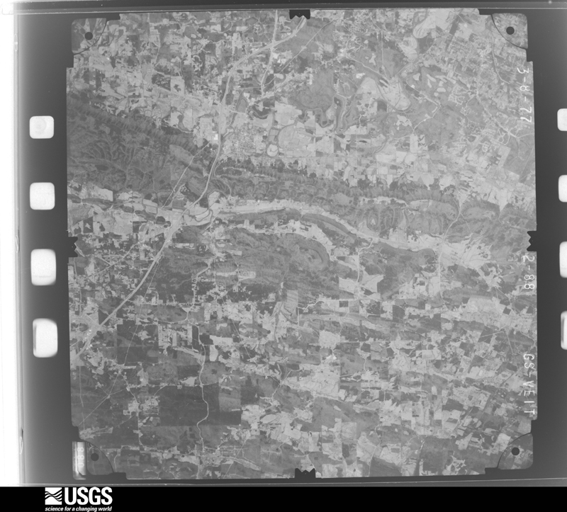
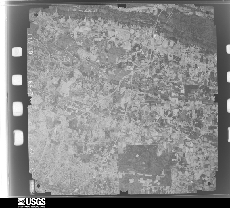
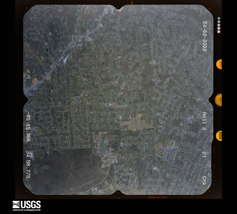
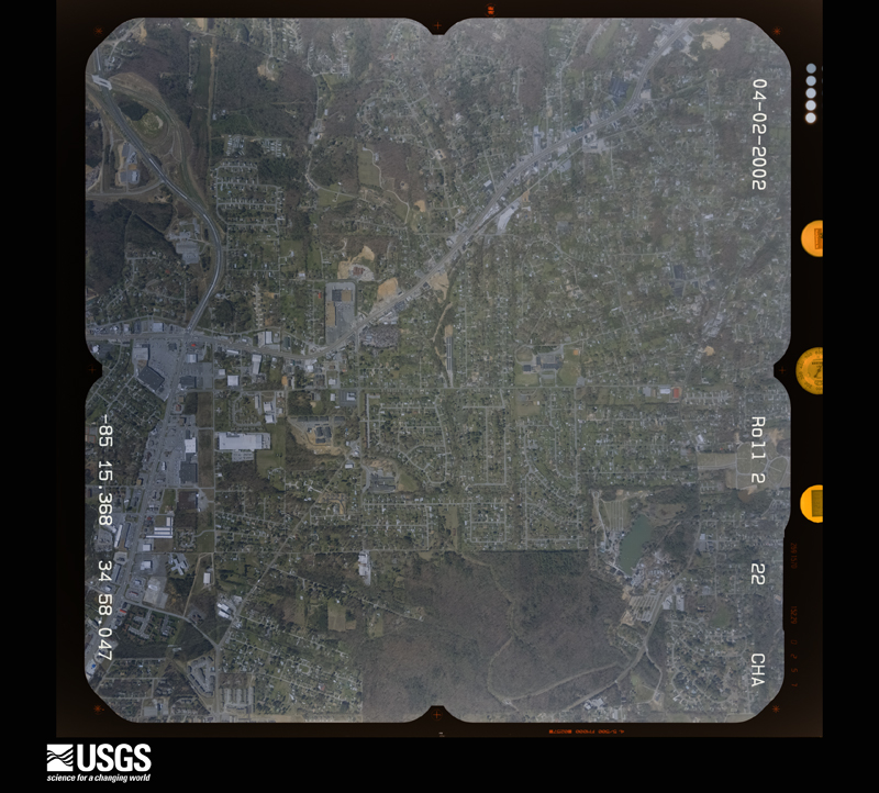
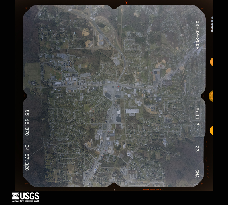
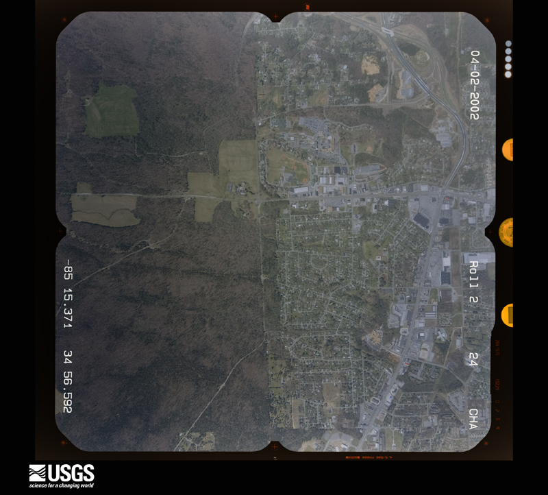
Flown by the U.S. Geological Survey between 1937 and 1989, the Aerial Photo Single Frames collection is the definitive mid-century view of the land: fields, roads and rivers as the camera saw them. The Survey holds 196 frames inside the rectangle that bounds this county; the 12 frames below were taken over the county itself, chosen across the decades of flights (at most four a year from that rectangle), so one flight cannot crowd out the rest. The full set is free to browse and download at EarthExplorer under the dataset Aerial Photo Single Frames.

The thermometers that kept this county's weather, and the gages that measured the flow of its streams, as the federal records hold them.
Who lived here in 1950, one enumeration district at a time, as the Census Bureau described each district. Each row opens its official National Archives result, with Population Schedules and ED Maps available there.
Every wildfire the federal occurrence database records inside this county: 1,093 of them, burning about 2,898 acres. 19 started naturally and 152 were recorded as arson. Each settlement page carries the fires within five miles of it.
| Reported cause | Fires |
|---|---|
| Debris and open burning | 628 |
| Arson/incendiarism | 152 |
| Equipment and vehicle use | 111 |
| Misuse of fire by a minor | 62 |
| Smoking | 51 |
| Missing data/not specified/undetermined | 39 |
| Recreation and ceremony | 26 |
| Natural | 19 |
| Railroad operations and maintenance | 5 |
The five largest, by the area the report gives. Three of them were set deliberately.
| Date | Cause | Size | Reported by | Name on the report |
|---|---|---|---|---|
| 17 March 1992 | Debris and open burning | 178 acres | Georgia Forestry Commission | not named |
| 17 August 2007 | Arson/incendiarism | 175 acres | Georgia Forestry Commission | not named |
| 1 November 2016 | Debris and open burning | 118 acres | Georgia Forestry Commission | FY2017-CATOOSA-012 |
| 23 March 1995 | Debris and open burning | 87 acres | Georgia Forestry Commission | not named |
| 21 October 2010 | Debris and open burning | 60 acres | Georgia Forestry Commission | FY2011-CATOOSA-008 |
| 4 March 2007 | Arson/incendiarism | 55 acres | Georgia Forestry Commission | not named |
| 16 February 2011 | Debris and open burning | 54 acres | Georgia Forestry Commission | FY2011-CATOOSA-012 |
| 6 April 2004 | Arson/incendiarism | 45 acres | Georgia Forestry Commission | not named |
Every settlement page carries the fires within five miles of it - see the settlement index below.
The NOAA Storm Events Database holds 209 reports for this county, causing 8 deaths, 34 injuries and about $30,280,950 in recorded property damage. Each settlement page carries the reports that name it.
| Kind of event | Reports |
|---|---|
| Thunderstorm Wind | 127 |
| Hail | 48 |
| Flash Flood | 12 |
| Tornado | 7 |
| Flood | 6 |
| Lightning | 4 |
| Heavy Rain | 3 |
| Winter Storm | 2 |
The most serious of them, by death, then injury, then recorded damage. The accounts are quoted exactly as the forecast office filed them.
| When | Event | Place named | Harm | What the report says |
|---|---|---|---|---|
| April 2011 | Tornado (EF4) | Blue Spring | 8 killed, 30 hurt, $25,000,000 | A survey conducted by the National Weather Service Forecast Office in Peachtree City, Georgia confirmed that an EF4 tornado, the first of this intensity to occur within the Peachtree City, Georgia county warning area (CWA), touched down in Catoosa county, just southwest of Ringgold along Davis Ridge Road. The tornado tracked across Interstate-75 at mile marker 348 then continued on into and through the city of Ringgold before tracking northeast toward Cohutta and then into Hamilton and eventually Bradley county, Tennessee. The tornado tracked nearly 12 miles through Catoosa county. Major devastation was observed throughout the north side of the city of Ringgold. The worst damage occurred on Cherokee Valley Road on the north side of Ringgold where 12 homes were obliterated. An additional 80 to 90 homes sustained major damage from the tornado. In addition, several commercial businesses, including restaurants and motels, at exit 348 on Interstate-75 were destroyed. There were eight fatalities and 30 injuries reported with this tornado. Seven of the eight deaths occurred on Cherokee Valley Road, which was heavily devastated by the tornado. Most of the tornado victims lived within 200 yards of each other and were killed when their homes collapsed around them. Finally, hundreds of trees and dozens of power lines and utility poles were also destroyed by the tornado. This was by far the deadliest and most devastating of the 15 tornadoes to affect north and central Georgia during this tornado outbreak.||Total damages from Catoosa county consist of 74 destroyed homes and/or businesses, 60 with major damage, and 118 with minor damage for a total of 252 affected structures.||[04/27-04/28/11: Tornado #4, County #1-1, EF4, Catoosa, 2011:013]. |
| June 2018 | Thunderstorm Wind | Keith | 3 hurt, $15,000 | The Catoosa County Emergency Manager reported three people were injured when an outbuilding they were constructing collapsed due to strong thunderstorm winds. One person suffered a broken leg, the extent of the injuries to the other two people was not known. |
| June 2018 | Thunderstorm Wind | Westside | 1 hurt, $25,000 | Multiple reports of wind damage were received from Fort Oglethorpe. Several trees were blown down in the Gilbert Stephenson Park area and some power poles were snapped. There was damage reported to the metal roof of a business and one person was slightly injured when struck by part of a falling tree. |
| September 2009 | Flood | Lakeview | $1,000,000 | The Catoosa County Emergency Management Director reported that significant and widespread flooding continued across the county. Many homes, apartments, and businesses remained or became flooded during this period. The worst flooding was across the northern portion of the county, near Fort Oglethorpe. A number of creeks and streams remained above flood stage. Dozens of roads remained underwater, impassable, and closed. Additional monetary damage during this time frame was at least $1 million. |
| May 2003 | Flash Flood | Countywide | $1,000,000 | The Catoosa county 911 center and the Catoosa County News of Ringgold reported that a number of roads in the county were flooded and had to be closed. All together the county Emergency Management Director reported that 29 roads were closed, some for two days. At least $100,000 dollars worth of damage was done to county roads, including four road collapses (Catlick Road, Rolling Hills Road, West Cloud Springs Road, and Lake Road) and three mud slides (Adkins Road, Potts Road, and Salem Valley Road). Several homes and businesses were also flooded Several apartments in Fort Oglethorpe had to be evacuated because of rising flood waters as Chickamauga Creek near Fort Oglethorpe and Graysville reached record levels. Lake Ringgold overflowed its banks as well, flooding nearby roads, several of which had to be closed. Several homes in Ringgold were flooded, the basement of the Old Fort Baptist Church in Fort Oglethorpe was flooded, the Battlewood Apartments were flooded when Black Branch Creek overflowed its banks, and a large furniture liquidation store warehouse was flooded with over eight inches of water inside the store. Store owners estimated that damages to the furniture inventory was in excess of $500,000. The Gilbert Stephenson Park was also completely flooded. |
| September 2009 | Flood | Lakeview | $340,000 | Catoosa county emergency management personnel and USGS stream gages confirmed that major to record flooding continued across much of the county. Many homes, apartments, businesses, and roads sustained damage from flooding. Several roads were closed. Monetary damages from flooding continued to mount, with an additional $340,000 incurred during this time frame, nearly all of which occurred prior to 845 am EDT on the 22nd. Flood waters began to recede after 845 am EDT on the 22nd, but many locations remained flooded through 845 am EDT on the 23rd. |
| September 2009 | Flash Flood | Lakeview | $340,000 | Catoosa county emergency management personnel reported that extensive flooding was observed across much of the county as repeated thunderstorms with heavy rain tracked across the area for several hours. Many roads became flooded and impassable and suffered considerable damage. A number of home and apartments were flooded, especially in the Fort Oglethorpe and Midway areas. Schools were closed for at least two days because of many impassable roads. Monetary property damage during this time frame was estimated to be $340,000. |
| October 2014 | Tornado (EF1) | Copeland | $300,000 | A National Weather Service storm survey team found that an EF1 tornado touched down just north of Ringgold, GA. The tornado was on the ground between a quarter and a third of a mile, however dozens of trees were snapped or uprooted in the Calloway Farms subdivision. Seven homes sustained damage with one home uninhabitable. One home lost a section of its roof and an attic wall and another home had the garage doors blown out. [10/06/14: Tornado#1, County#1-1, EF1, Catoosa, 2014:010}. |
| April 2020 | Tornado (EF1) | Cloud Springs | $250,000 | A National Weather Service survey found that an EF1 tornado with maximum wind speeds of 110 mph and a maximum path width of 350 yards touched down on the south side of Fort Oglethorpe, near the Chickamauga Battlefield National Park Visitor Center, snapping several trees near the intersection of Post Road and Lafayette Road. The tornado strengthened quickly as it moved northeast and approached the industrial area of Fort Oglethorpe along Battlefield Parkway. Several businesses sustained structural damage, including a metal building structure along Howard Drive completely losing an exterior wall and part of its roof. It was in this area that a weather station at the Fort Oglethorpe Public Works Department measured a wind gust of 106 MPH. The tornado continued to the northeast, snapping or uprooting trees with a few homes sustaining roof and siding damage from Park Forrest Drive along Cloud Springs Road to Carrol Drive and Karen Drive. The tornado crossed I-75 around Scruggs Road, then crossed the Tennessee-Georgia state line between Scruggs Road and Georgia Highway 41. [04/12/20: Tornado #4, County #1/1, EF-1, Catoosa, 2020:010]. |
| March 1961 | Tornado (F2) | not stated | $250,000 | no account filed |
| September 2009 | Flood | Lakeview | $160,000 | Catoosa county emergency management personnel confirmed that extensive flooding continued across much of the county, especially the northern areas. The most significant flooding was observed in the northern portion of the county near Fort Oglethorpe. Several roads were under water because of flooded creeks and streams. Some property was damaged from flood waters. Monetary damage during this time frame was estimated to be in excess of $150,000. |
| September 2009 | Flash Flood | Lakeview | $160,000 | The Catoosa County Emergency Management Director reported flash flooding across the northern half of the county, especially in the Lakeview area. Two people had to be rescued by boat from their homes as creeks rapidly rose out of their banks in the area. Several apartments were flooded and sustained significant damage. A number of cars were submerged in flood waters as well. However, no injuries or deaths were reported from flash flooding in this county. Monetary damage was mostly in the form of flooded apartments, homes, and vehicles. |
| April 2020 | Thunderstorm Wind | Boyd Highlands | $150,000 | Widespread tree and structural damage to the Boyd Highlands area just east of I-75. More than two dozen reports of damage were caused by straight-line winds just south of the tornado track. |
| April 2005 | Hail | Ft Oglethorpe | $150,000 | Numerous reports of large hail, ranging in size from quarters to golf balls were received from the public. Damage was reported to roofs of several homes in the area. Most of the golf ball-sized hail was reported in the Ringgold area, with mostly quarter to half-dollar-sized hail elsewhere. |
| September 2004 | Flash Flood | Countywide | $150,000 | The Catoosa County News of Ringgold reported that major flooding was observed across the county in association with the heavy rain from the remnants of Hurricane Ivan. At least 18 roads were closed because of flooding and several evacuations from high water were required, even a few by boat. Chickamauga Creek rose well above its flood stage, causing flooding of nearby property. In addition, at least five intersections in Ringgold were completely submerged by flood waters. |
| April 2011 | Hail | Ft Oglethorpe | $127,000 | The public observed golf ball-sized hail across northern Catoosa county, including the northern side of Ringgold. |
| June 2015 | Thunderstorm Wind | Lakeview | $110,000 | The Catoosa County Emergency Manager reported numerous trees down, some on houses, from Nason, Chestnut, Hudson and Park streets near Lakeview Middle School to Milford drive near Lake Winnepesauka. Seven homes had damage from falling trees, however all appeared to be inhabitable. No injuries were reported. Numerous power and telephone lines were also down in this area. |
| April 2009 | Thunderstorm Wind | Ft Oglethorpe | $100,000 | The Catoosa County Emergency Management Director reported that several trees were down across the northern part of the county. Some trees were down on homes causing damage to the structures. The public reported that trees were also down on a storage bulding on Mohawk Trail causing significant damage to the structure. |
| November 2016 | Tornado (EF0) | Copeland | $50,000 | A brief EF0 tornado with maximum winds of 85 MPH moved along a path with a maximum width of 225 yards for 1.29 miles across portions of Catoosa County. The tornado began as several trees were uprooted or snapped just east of Ooltewah-Ringgold Road between Sleepy Lane and Mountain Lane. The tornado traveled east northeast over White Oak Mountain continuing to cause damage to trees before ending just east of Cherokee Valley Road around Swallow Lane where several homes sustained damage. One home had its garage doors blown in and part of the garage roof lifted off. Debris from this roof was carried more than 500 yards away. Siding was pulled off of another home in this area. [11/30/16: Tornado #1, County #1/1, EF0, Catoosa, 2016:007]. |
| April 2011 | Thunderstorm Wind | Ft Oglethorpe | $50,000 | The Catoosa County 911 Center reported that many trees were down in the northwest part of the county, especially around the city of Lakeview. In addition, a tree was down on a home in Lakeview causing damage to the structure. |
| June 2010 | Thunderstorm Wind | Ringgold | $50,000 | The Catoosa County Emergency Management Director reported that 12 trees were blown down southwest of Ringgold. One tree fell on a home and another fell on a vehicle. A barn was also damaged by thunderstorm wind gusts. |
| October 2010 | Tornado (EF0) | Keith | $40,000 | A storm survey conducted by the National Weather Service in Peachtree City, Georgia confirmed that an EF0 tornado had touched down approximately four miles northeast of Ringgold along Keiths Road. The tornado traveled east-northeast for only 300 yards before lifting. Maximum path width was determined to be 75 yards with maximum winds gusts estimated to be 80 mph. Two homes, two chicken houses, and a barn suffered minor roof damage from the tornado. In addition, approximately 50 trees were downed along the path of the tornado. |
| March 2021 | Flash Flood | Poplar Springs | $30,000 | Law enforcement received a report of a washed out road near the intersection of Poplar Springs Road and Old Alabama Road. Radar estimates indicate that between 3 and 5 inches of rain occurred over the area, resulting in the flash flooding. |
| February 2016 | Flash Flood | Ft Oglethorpe | $30,000 | The Catoosa County EMA Director reported the Black Branch came out of it banks and flooded an apartment complex parking lot off of Fant Drive in Fort Oglethorpe. The flood waters reached the foundation of a few structures forcing some evacuations. Several parked vehicles were damaged. |
| March 2017 | Thunderstorm Wind | Ft Oglethorpe | $25,000 | The Catoosa County Emergency Manager reported numerous trees and power lines blown down from Fort Oglethorpe to Ringgold. Over 3000 customers were without power in the Fort Oglethorpe area. |
| July 2010 | Thunderstorm Wind | Boyd Highlands | $25,000 | The Catoosa County Emergency Management Director reported that a large tree had fallen on a home on Stanley Parkway, approximately six miles northwest of Ringgold. Considerable damage was noted to the structure. Pea-sized hail was also observed in the area. |
| July 2006 | Lightning | Ringgold | $25,000 | The Catoosa County 911 Center reported that lightning struck and set on fire the roof of the Shaw Plant on Industrial Boulevard. |
| May 2004 | Thunderstorm Wind | Ft Oglethorpe | $25,000 | The Catoosa County 911 center reported that a couple of trees were blown down, one on a house and another on a vehicle in Fort Oglethorpe. In Graysville, power poles were snapped in two. |
| July 2000 | Thunderstorm Wind | Countywide | $25,000 | The Catoosa county Sheriff's office reported to the Rome News Tribune that numerous trees and powerlines were blown down countywide. Trees fell on power lines, and blocked roads in many instances. There was also one report of a tree falling on and damaging a vehicle. Power outages were widespread in the county because of the large number of trees and power lines knocked down by the strong thunderstorm winds. |
| July 2006 | Thunderstorm Wind | Ringgold | $15,000 | The public reported that at least four large trees were blown down. One was down on U.S. Highway 41 near Cloud Spring Road, and another was blown down onto a parked car on Pine Grove Road. |
| July 2000 | Thunderstorm Wind | Central Portion | $15,000 | The North Georgia Electric Management Cooperative reported trees and power lines down throughout the central portion of the county. |
| July 2023 | Thunderstorm Wind | Beaumont | $10,000 | Multiple trees reported down at Potts Road and Mountain Pisgah road with an additional 6 trees reported down across roadways throughout Catoosa County. |
| August 2019 | Thunderstorm Wind | Dietz | $10,000 | The Catoosa County Emergency Manager reported multiple trees down west of Ringgold along Battlefield Parkway, and near the Baggett Road, Boynton Drive and Akins Road intersections. |
| August 2019 | Thunderstorm Wind | Poplar Springs | $10,000 | Multiple trees down in a couple of locations southwest of Ringgold. Specifically near the intersection of Poplar Springs Road and Talley Circle, and several locations north of Mount Pisgah Road. Time estimated from radar. |
| June 2011 | Thunderstorm Wind | Ft Oglethorpe | $10,000 | The Catoosa County Emergency Management Director reported that over a dozen trees were down in the Fort Oglethorpe area, with at least five trees down on power lines in other areas across the northern part of the county. |
| August 2020 | Thunderstorm Wind | Blue Spring | $8,000 | The Catoosa County Emergency Manager reported several trees blown down across the southern portion of the county from Old Three Notch Road to Bandy Road. |
| August 2015 | Thunderstorm Wind | East Boynton | $8,000 | The Catoosa County Emergency Manager reported trees blown down on power lines along Smoketree Circle near Boynton. |
| May 1995 | Thunderstorm Wind | Ringgold | $6,500 | Thunderstorm winds knocked over an old barn and caused minor damage to a home. Originally it was reported as a tornado, but upon inspection by county EMA officials, it was downgraded to straightline thunderstorm winds. |
| June 2018 | Thunderstorm Wind | Blue Spring | $6,000 | The Catoosa County 911 center reported multiple trees down across the southwestern portion of the county from around the intersection of Three Notch Road and Burning Bush Road to Temperance Hall Road. |
| July 1997 | Thunderstorm Wind | Ringgold | $6,000 | In the southern portions of the county, thunderstorm winds knocked down trees, power lines and utility poles. Winds were estimated at 60 mph, as shingles were ripped off the roof of Firestation number 2. |
| March 2025 | Thunderstorm Wind | Ringgold | $5,000 | Multiple trees down in ringgold . |
| June 2025 | Thunderstorm Wind | Keith | $5,000 | Tree reported down on a house near the intersection of Cooper Rd and Steward Rd. |
| August 2019 | Lightning | Love Hill | $5,000 | The Catoosa County Emergency Manager reported an apartment fire caused by a lightning strike on Tennant Lane in Ringgold. |
| May 2018 | Thunderstorm Wind | East Boynton | $5,000 | The Catoosa County Emergency Manager reported trees blown down from around Boynton Drive at Baggett Road to around Highway 151 and Mt Pisgah Road. |
| June 2018 | Thunderstorm Wind | Cloud Springs | $5,000 | The Catoosa County Emergency Manager reported trees and power lines blown down from around the intersection of Lafayette Road and Alexander Bridge Road south of Fort Oglethorpe to around the intersection of Three Notch Road and Battlefield Parkway west of Ringgold. |
| July 2017 | Thunderstorm Wind | Lakeview | $5,000 | A trained spotter reported trees blown down across the road. The trees also brought down power lines resulting in a power outage in the local area. |
| July 2016 | Thunderstorm Wind | Dietz | $5,000 | The Catoosa County 911 center reported multiple trees blown down at various locations across the county including Burning Bush Road, Davis Ridge Road, Scruggs road and Lake Road. |
| March 2011 | Flood | Cloud Springs | $5,000 | The Catoosa County Emergency Management Director reported that several apartments near Battle Creek Parkway in Fort Oglethorpe were flooded with water into the first floors of the buildings. In addition, twelve roads across the northern part of the county were closed because of flooding. Damage was confined mostly to debris removal. |
| April 2011 | Thunderstorm Wind | Ft Oglethorpe | $5,000 | The Catoosa County 911 Center reported that several trees and power lines were down in the extreme northwest part of the county, near Fort Oglethorpe and Lakeview. |
| April 2011 | Thunderstorm Wind | Lakeview | $5,000 | The Catoosa County Emergency Management Director reported that a couple of trees were down near Lakeview and some shingles were blown off the roofs of some homes in the area. |
| June 2011 | Thunderstorm Wind | Ft Oglethorpe | $5,000 | The Catoosa County 911 Center reported that about six trees and power lines were down in the northwest part of the county near Fort Oglethorpe. |
| September 2011 | Flash Flood | Lakeview | $5,000 | The Catoosa County Emergency Management Director reported that the Black Branch Creek flooded the parking lot of the Battlewood Apartments in Fort Oglethorpe. Several evacuations were required at the apartment complex as the water level reached the steps of several of the units. Several other small creeks in the county also overflowed their banks. Despite the evacuations, none of the apartment units were actually flooded or incurred any damages. Monetary damage was confined to debris removal. |
| October 2010 | Thunderstorm Wind | Wood Station | $5,000 | The Catoosa County Emergency Management Director reported that a number of trees and power lines were down across the southern part of the county. Several locations in the county, including Ringgold, were left without power. |
| July 2003 | Flash Flood | South Portion | $5,000 | The Catoosa county 911 center reported that several roads across the south portion of the county were flooded and closed. |
| August 2000 | Thunderstorm Wind | Ft Oglethorpe | $5,000 | The Catoosa county 911 center reported that several trees were down in Fort Oglethorpe, especially on Chestnut Street. |
| April 1998 | Thunderstorm Wind | Keith | $5,000 | The sheriff's department reported roof damage to a house and numerous trees down in the community of Keith, about 4 miles east of Ringold. |
| August 2023 | Thunderstorm Wind | Ft Oglethorpe | $4,000 | Several trees reported down in the Chickamauga Battlefield. |
| July 2020 | Thunderstorm Wind | Ringgold | $4,000 | The public reported trees blown down on the northeast side of Ringgold from Marilyn Circle to Creeks Bend Drive, where a falling tree damaged the gutter on a home. |
| June 2019 | Thunderstorm Wind | Cloud Springs | $4,000 | A trained spotter reported numerous large branches and power lines blown down around the intersection of Lafayette Road and West Forrest Road. Power was out around the hospital in Ft. Oglethorpe. |
| April 2018 | Thunderstorm Wind | Blue Spring | $3,000 | The Catoosa County Emergency Manager reported a tree blown down onto power lines along Burning Bush Road between Battleview Drive and Three Notch Road. |
The Survey's mineral resources record lists 6 workings inside this county. None of them still produces: all are closed or unrecorded. Each settlement page carries the workings within five miles of it.
| Commodity | Workings |
|---|---|
| Stone, Crushed/Broken | 4 |
| Iron | 1 |
| Iron, Manganese | 1 |
The least common of them first, because a county's hundredth gravel pit says nothing its first ten did not.
| Where | Site | Commodity | Status | Recorded |
|---|---|---|---|---|
| Fox and Dowler Property | Iron, Manganese | Past Producer | 1889 | |
| Unnamed | Iron | Past Producer | Strataform, Concordant | |
| Clark Quarry | Stone, Crushed/Broken | Past Producer | ||
| Fry Quarry | Stone, Crushed/Broken | Past Producer | ||
| Graysville Quarry | Stone, Crushed/Broken | Past Producer | ||
| Hales Quarry | Stone, Crushed/Broken | Past Producer |
Named settlements recorded in the Geographic Names Information System, each with the topographic sheets covering it. Villages, hamlets and abandoned places alike. Each is shown with the nearest named watercourse or landform and the survey quadrangle it falls on.
Boynton Ridge census division · 30736 · Near Beaumont Mountain · Nickajack Gap quadrangle
25 sheets, 1886 to 1983
Boynton Ridge census division · 30736 · Near Dailey Hill · East Ridge quadrangle
28 sheets, 1886 to 1982
Boynton Ridge census division · 30736 · On Dry Branch · East Ridge quadrangle
28 sheets, 1886 to 1982
Boynton Ridge census division · 30736 · On Peavine Creek · East Ridge quadrangle
28 sheets, 1886 to 1982
Fort Oglethorpe-Lakeview census division · 30741 · On Black Branch · East Ridge quadrangle
28 sheets, 1886 to 1982
Boynton Ridge census division · 30736 · On Blue Spring Branch · East Ridge quadrangle
28 sheets, 1886 to 1982
Catoosa Springs census division · 30755 · On Catoosa Springs Branch · Ringgold quadrangle
27 sheets, 1886 to 1983
Boynton Ridge census division · 30736 · Near Dailey Hill · East Ridge quadrangle
28 sheets, 1886 to 1982
Fort Oglethorpe-Lakeview census division · 30742 · Fort Oglethorpe quadrangle
28 sheets, 1886 to 1982
Catoosa Springs census division · 30736 · On Dry Creek · Tunnel Hill quadrangle
25 sheets, 1886 to 1983
Boynton Ridge census division · 30736 · Near Happy Top · East Ridge quadrangle
28 sheets, 1886 to 1982
Fort Oglethorpe-Lakeview census division · 30741 · On Black Branch · East Ridge quadrangle
28 sheets, 1886 to 1982
Boynton Ridge census division · 30736 · Near Dailey Hill · East Ridge quadrangle
28 sheets, 1886 to 1982
Fort Oglethorpe-Lakeview census division · 30742 · Fort Oglethorpe quadrangle
28 sheets, 1886 to 1982
Fort Oglethorpe-Lakeview census division · 30742 · Fort Oglethorpe quadrangle
28 sheets, 1886 to 1982
Boynton Ridge census division · 30736 · Near Happy Top · East Ridge quadrangle
28 sheets, 1886 to 1982
Boynton Ridge census division · 30736 · Near Bermuda Hill · East Ridge quadrangle
28 sheets, 1886 to 1982
Fort Oglethorpe-Lakeview census division · 30742 · On Black Branch · Fort Oglethorpe quadrangle
28 sheets, 1886 to 1982
Catoosa Springs census division · 30736 · On Tiger Creek · Ringgold quadrangle
27 sheets, 1886 to 1983
Ringgold census division · 30736 · Near The Backbone · East Ridge quadrangle
28 sheets, 1886 to 1982
Catoosa Springs census division · 30755 · In Keith Valley · Ringgold quadrangle
27 sheets, 1886 to 1983
Fort Oglethorpe-Lakeview census division · 30741 · On Black Branch · Fort Oglethorpe quadrangle
28 sheets, 1886 to 1982
Ringgold census division · 30736 · On Little Chickamauga Creek · East Ridge quadrangle
28 sheets, 1886 to 1982
Fort Oglethorpe-Lakeview census division · 30741 · On Black Branch · East Ridge quadrangle
28 sheets, 1886 to 1982
Fort Oglethorpe-Lakeview census division · 30741 · Fort Oglethorpe quadrangle
28 sheets, 1886 to 1982
Fort Oglethorpe-Lakeview census division · 30741 · East Ridge quadrangle
28 sheets, 1886 to 1982
Boynton Ridge census division · 30736 · Near Peavine Valley · East Ridge quadrangle
28 sheets, 1886 to 1982
Ringgold census division · 30736 · Near Beaumont Mountain · Nickajack Gap quadrangle
25 sheets, 1886 to 1983
Boynton Ridge census division · 30736 · Near Peavine Valley · East Ridge quadrangle
28 sheets, 1886 to 1982
Fort Oglethorpe-Lakeview census division · 30741 · On Black Branch · East Ridge quadrangle
28 sheets, 1886 to 1982
Fort Oglethorpe-Lakeview census division · 30742 · East Ridge quadrangle
28 sheets, 1886 to 1982
Boynton Ridge census division · 30736 · Near Dailey Hill · East Ridge quadrangle
28 sheets, 1886 to 1982
Boynton Ridge census division · 30736 · Near Bermuda Hill · East Ridge quadrangle
28 sheets, 1886 to 1982
No longer a settlement
Fort Oglethorpe-Lakeview census division · 30742 · On Black Branch · Fort Oglethorpe quadrangle
28 sheets, 1886 to 1982
Ringgold census division · 30736 · On Little Chickamauga Creek · East Ridge quadrangle
28 sheets, 1886 to 1982
Boynton Ridge census division · 30736 · On Dry Branch · East Ridge quadrangle
28 sheets, 1886 to 1982
Ringgold census division · 30736 · On Little Chickamauga Creek · Ringgold quadrangle
27 sheets, 1886 to 1983
Catoosa Springs census division · 30736 · Near Sand Mountain · Ringgold quadrangle
27 sheets, 1886 to 1983
Catoosa Springs census division · 30736 · On East Chickamauga Creek · Ringgold quadrangle
27 sheets, 1886 to 1983
Catoosa Springs census division · 30736 · On Cherokee Branch · Ringgold quadrangle
27 sheets, 1886 to 1983
Catoosa Springs census division · 30736 · On Dry Creek · Ringgold quadrangle
27 sheets, 1886 to 1983
Ringgold census division · 30736 · Near The Backbone · East Ridge quadrangle
28 sheets, 1886 to 1982
Boynton Ridge census division · 30736 · Near Bermuda Hill · East Ridge quadrangle
28 sheets, 1886 to 1982
Fort Oglethorpe-Lakeview census division · 30741 · On Black Branch · East Ridge quadrangle
28 sheets, 1886 to 1982
Fort Oglethorpe-Lakeview census division · 30741 · On Black Branch · East Ridge quadrangle
28 sheets, 1886 to 1982
The vanished settlements of Catoosa County: the places named above that are no longer on the map.
The complete index, with nothing left out. Each of these is a separate record with its own page: a federal survey report, or the case file that argued a property on to the National Register. Both are public domain and reproduced word for word.
The vanished settlements of Catoosa County, the places these records name that are no longer on the map.