 Block
From the record
4 National Register listings published here.
Sources: the National Register database, National Park Service
69 topographic sheets cover 28 settlements here, and 4 properties are on the National Register of Historic Places.
4 National Register listings published here.
Sources: the National Register database, National Park Service
Every property in this county listed on the National Register of Historic Places, with the year it was listed and the federal nomination document.
| Photograph | Property | Type | Listed | Reference |
|---|---|---|---|---|
 | Charlton County Courthouse | building | 1980 | 80000987 |
| Floyds Island Hammock | building | 2000 | 00000389 | |
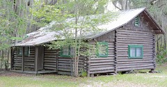 | John M. Hopkins Cabin | building | 1983 | 83000186 |
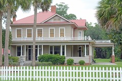 | William Mizell Sr. House | building | 1997 | 97001089 |
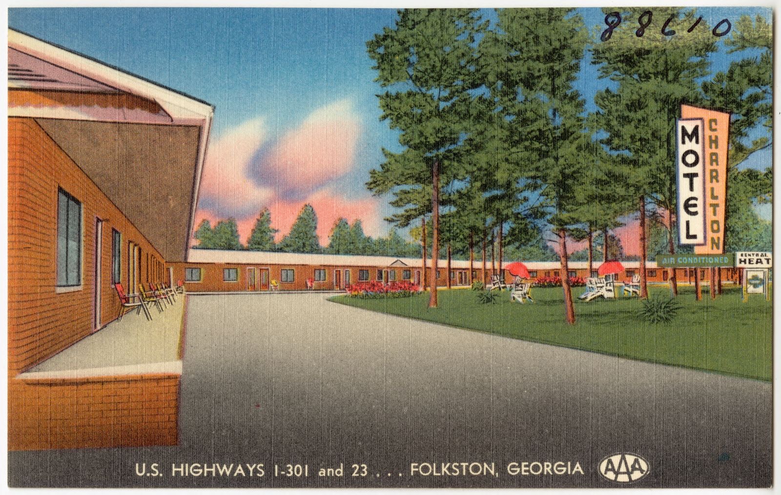
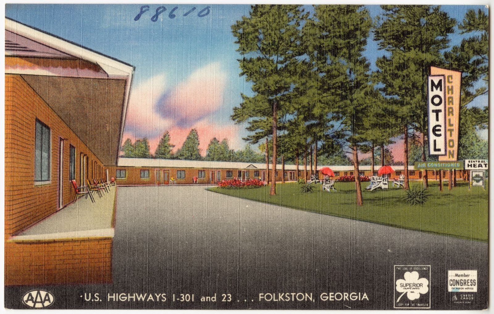
Selected from the Digital Public Library of America's 3 image records catalogued for this county. Every one shown here carries a public-domain status or a licence that permits reuse on a site that carries advertising; non-commercial, share-alike and restricted images are excluded. The selection is spread across the county's towns (at most eight per town), so no single institution's bulk upload crowds out the rest. Each opens the holding library's record, and the complete set at the Digital Public Library of America is one click away.

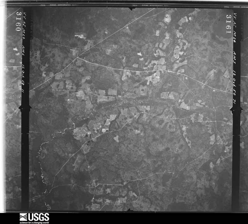
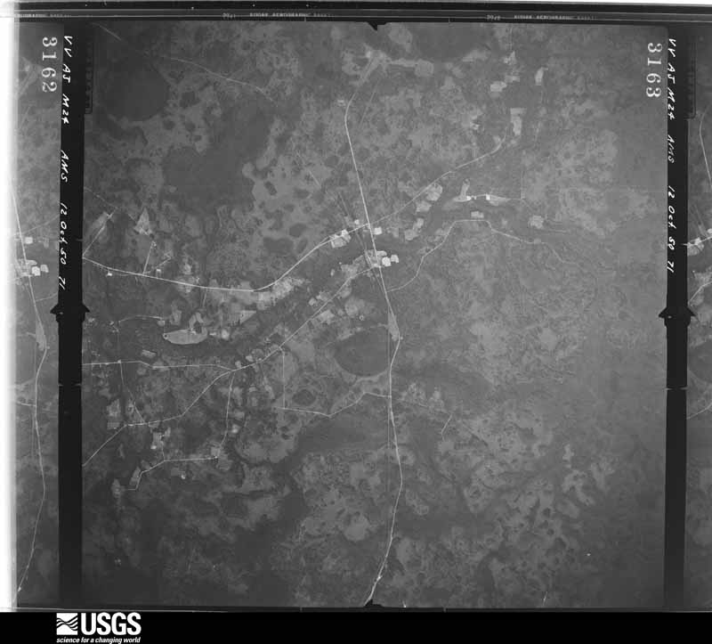
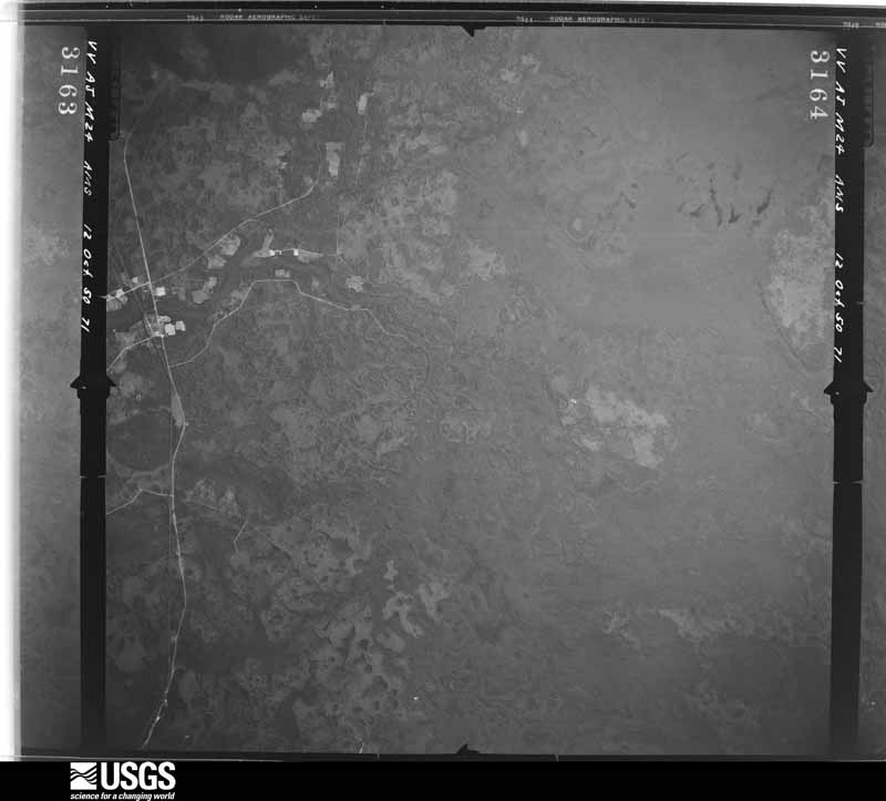
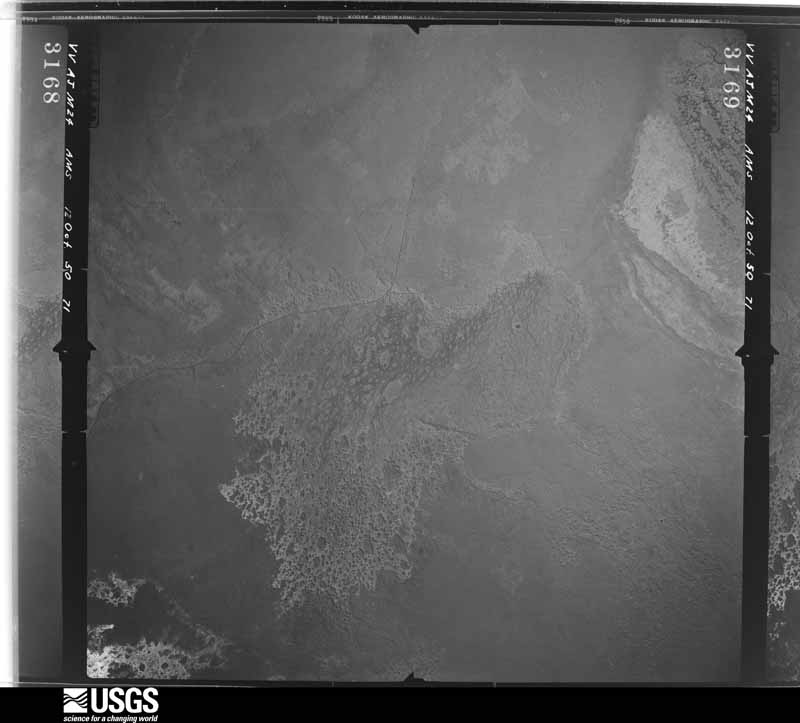
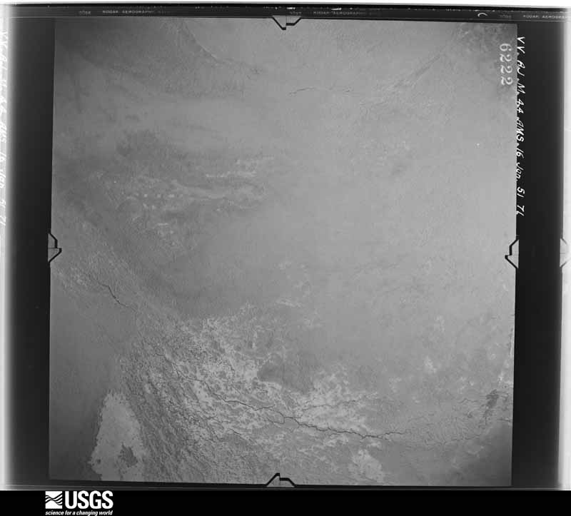
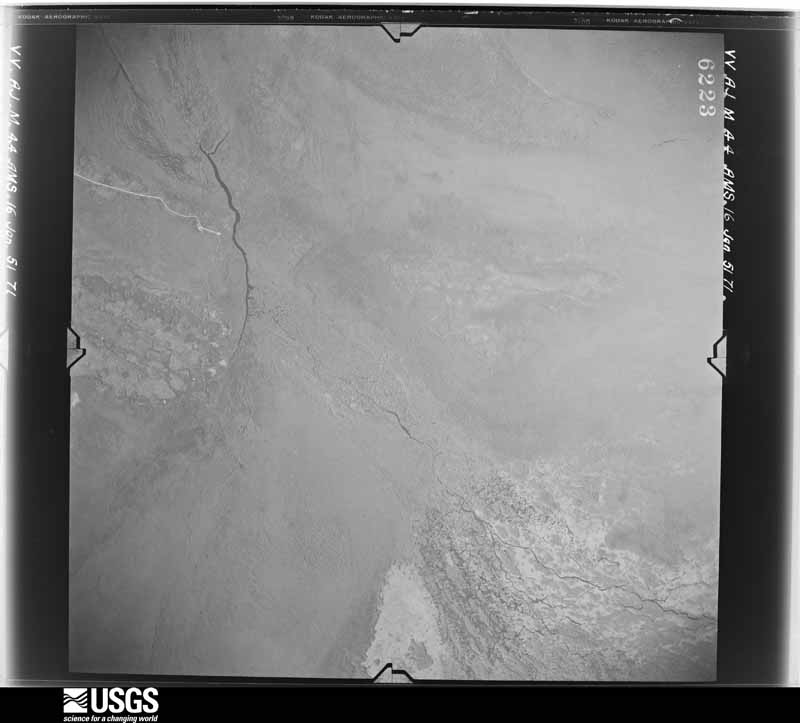
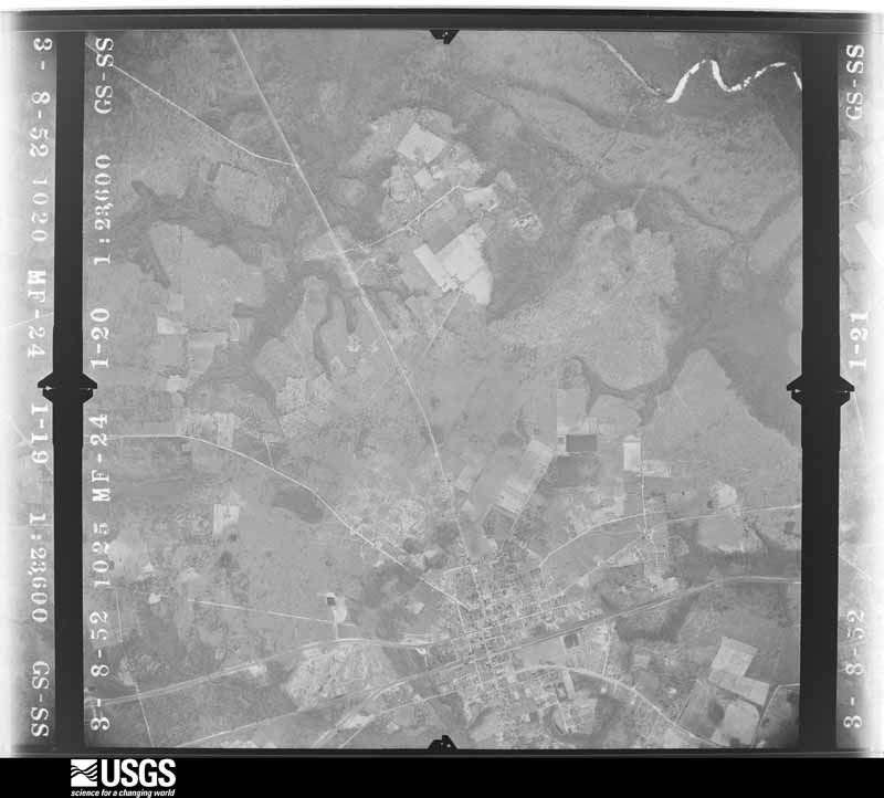
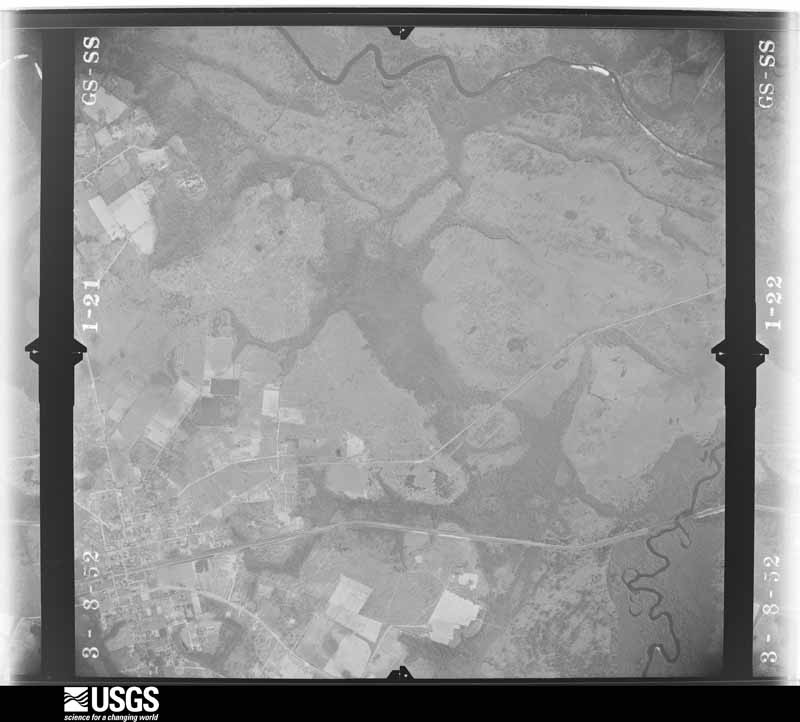
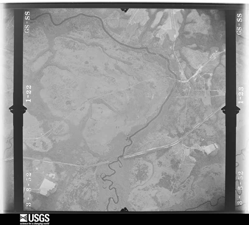
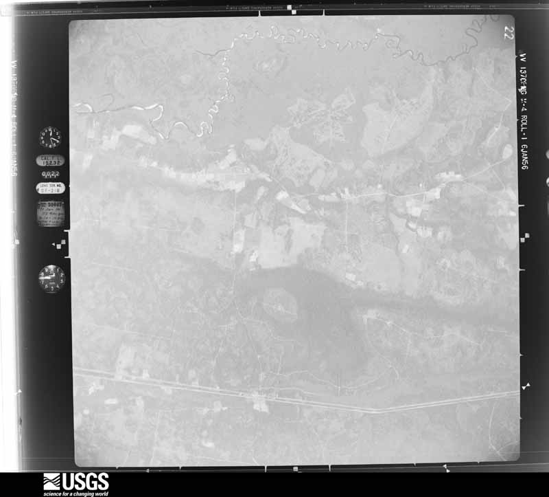
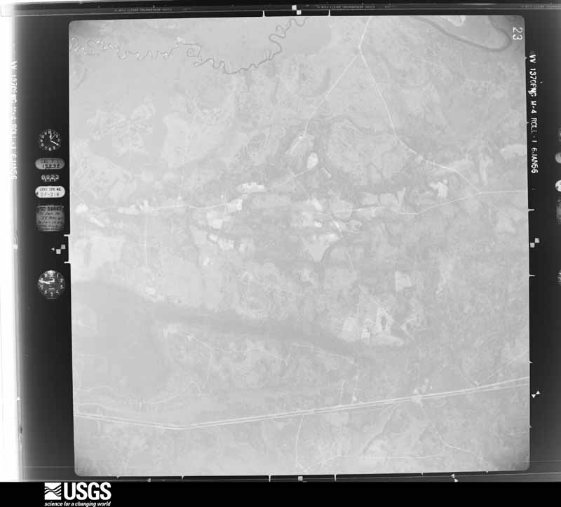
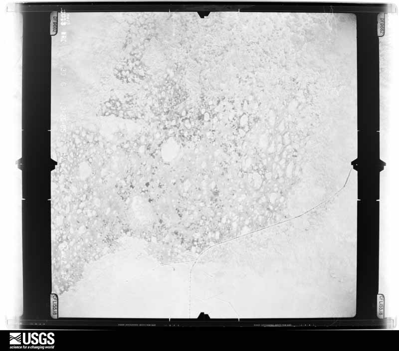
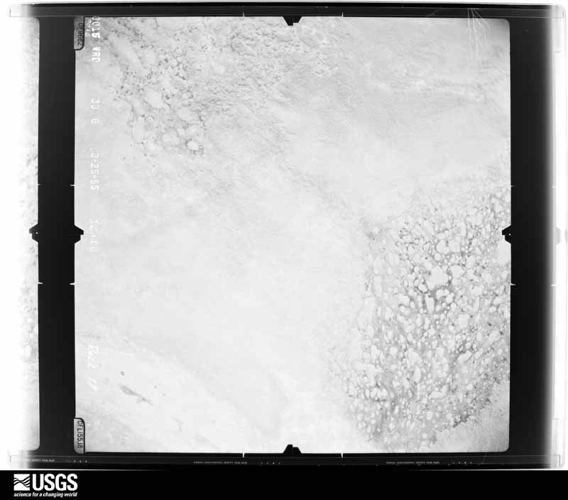
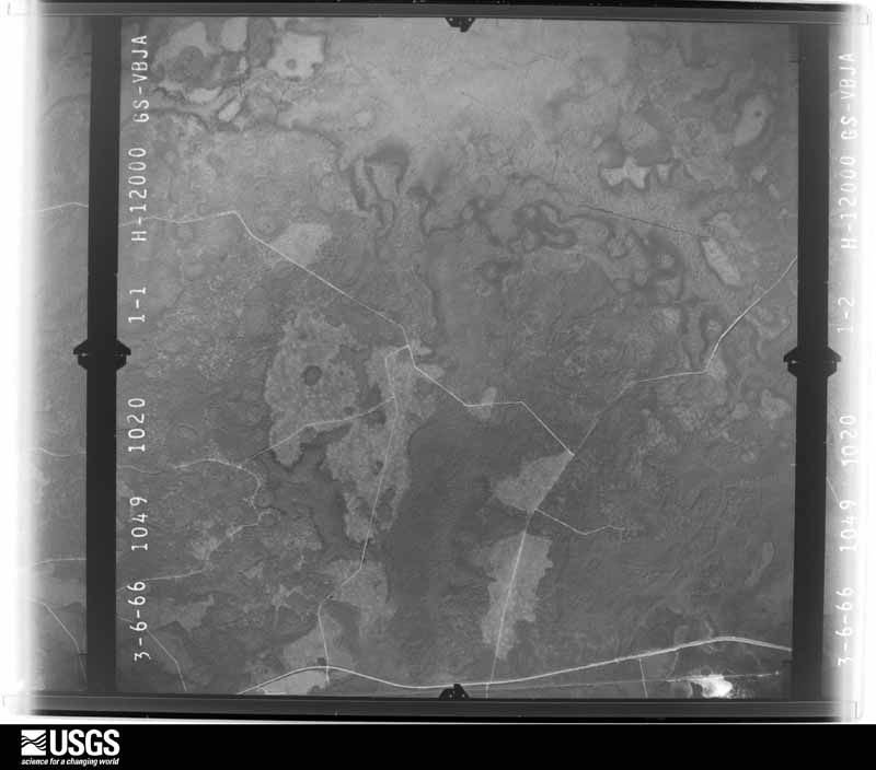
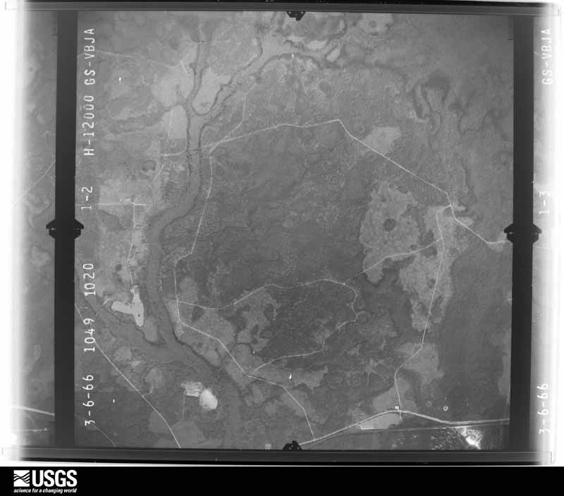
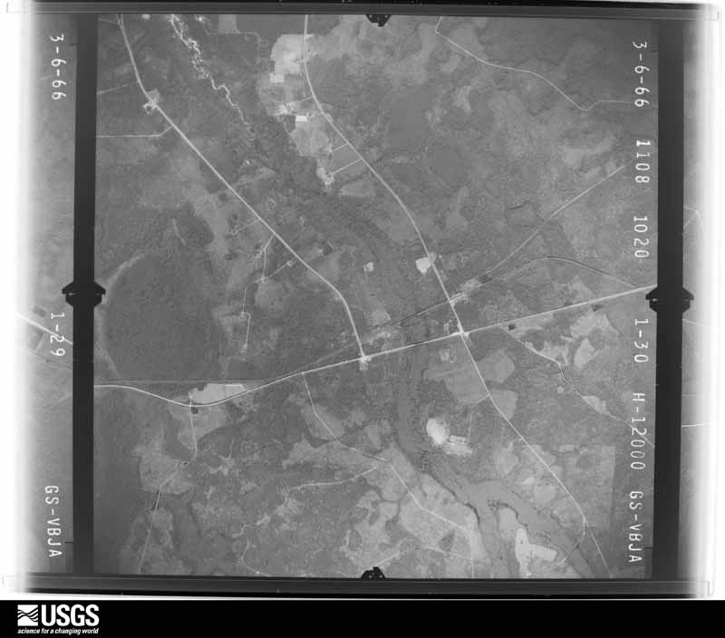
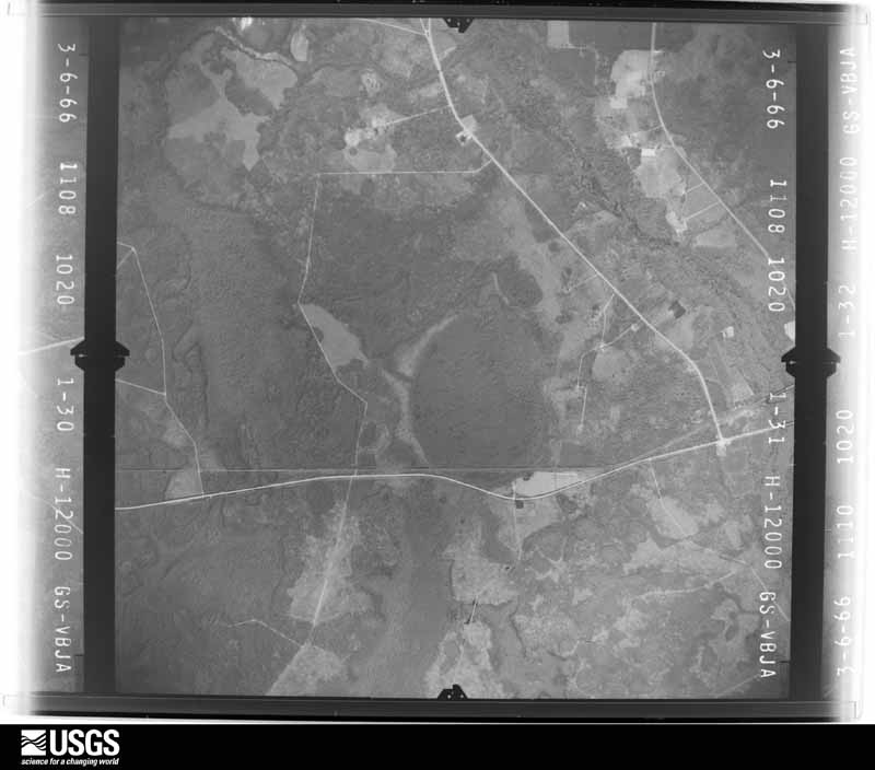
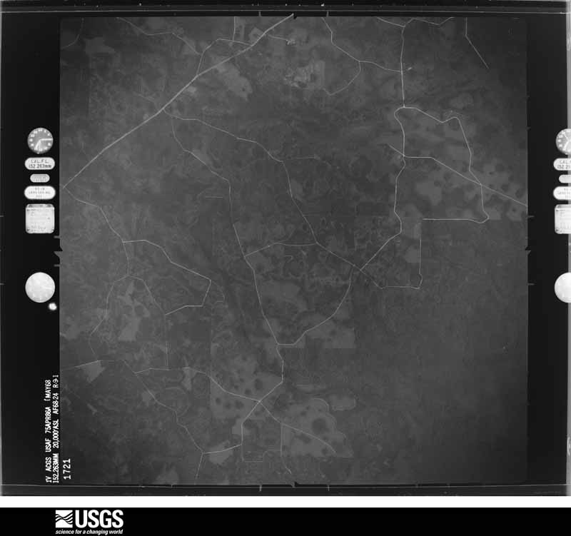
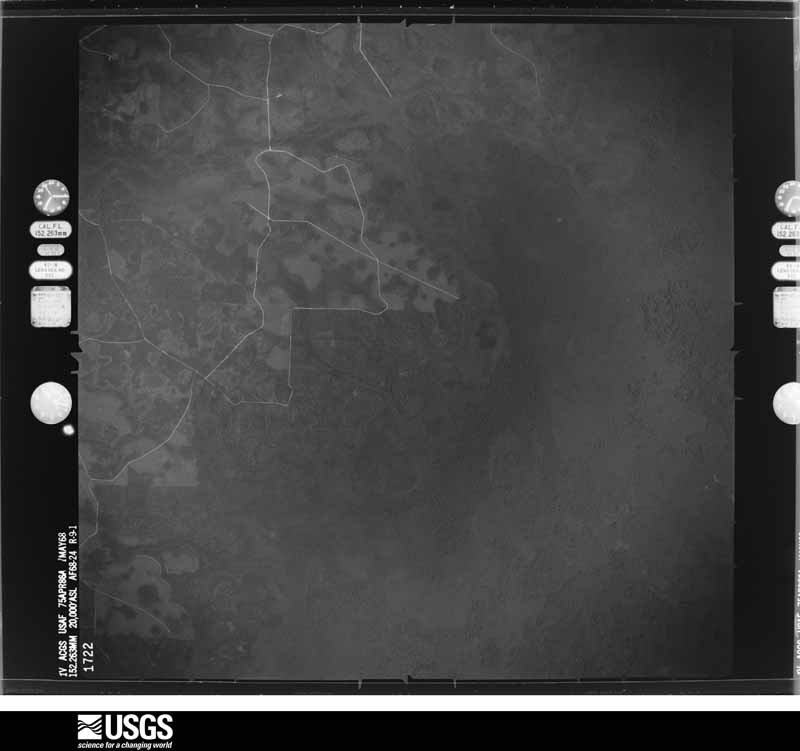
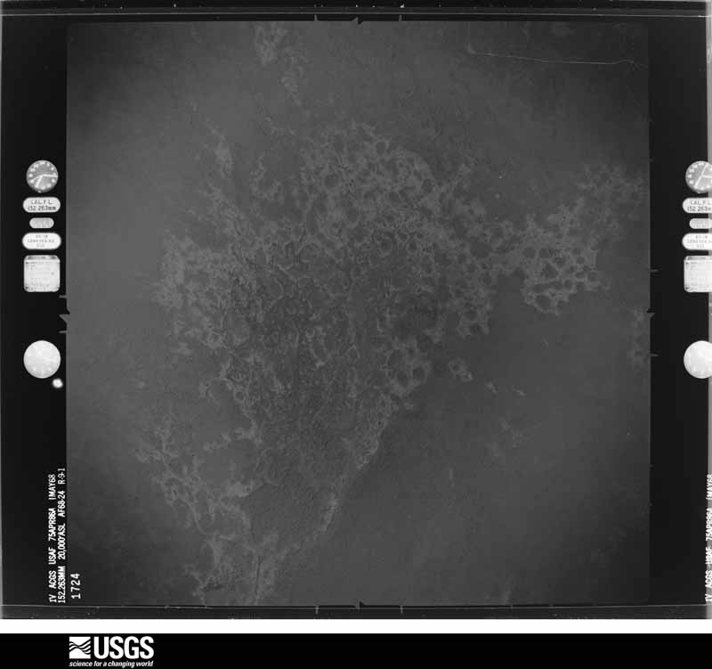
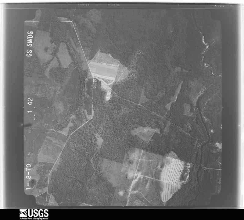
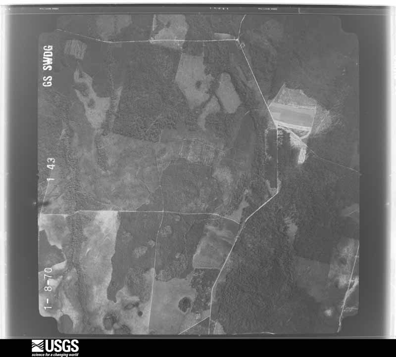
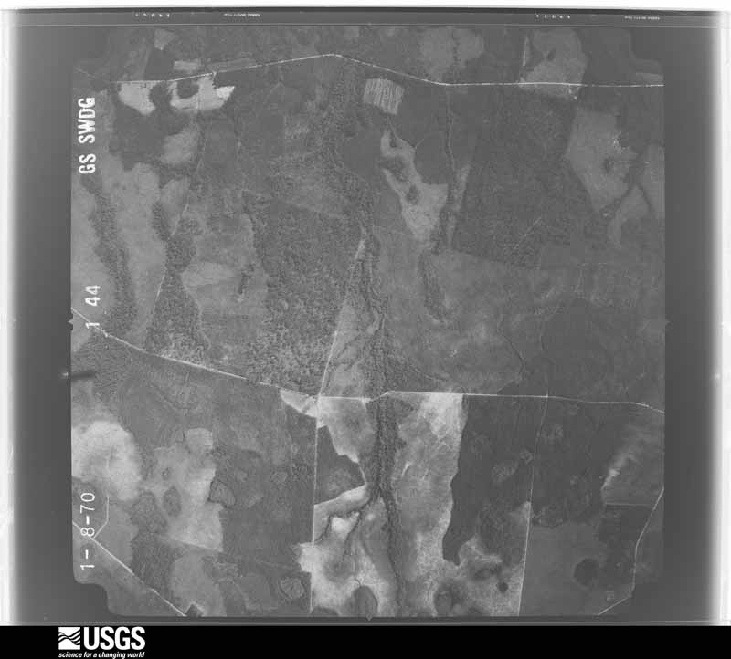
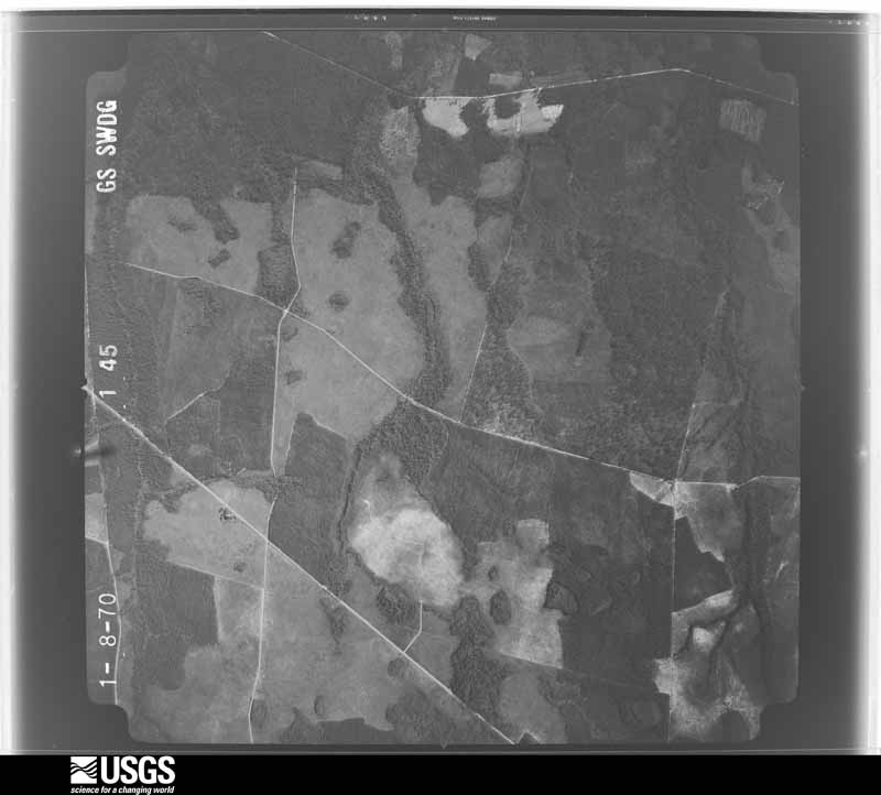
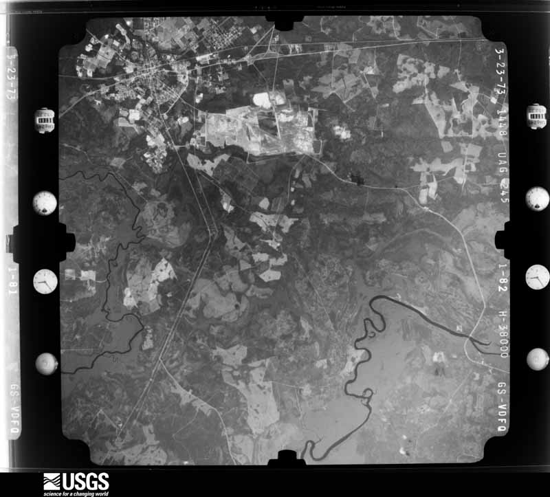
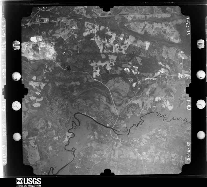
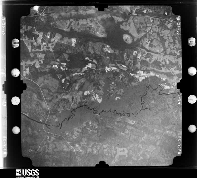
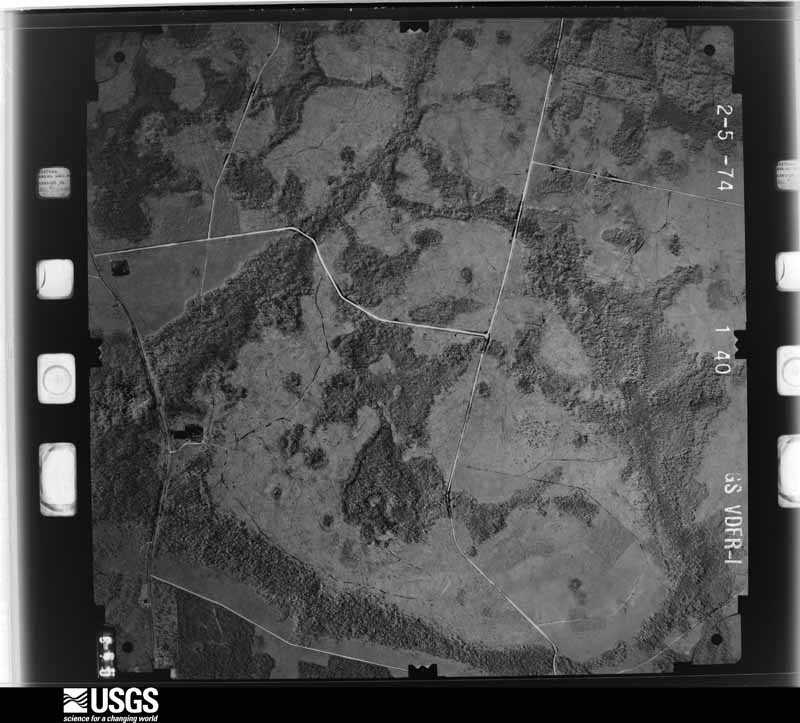
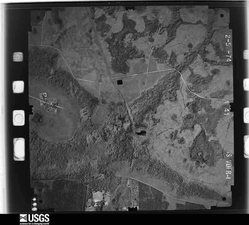
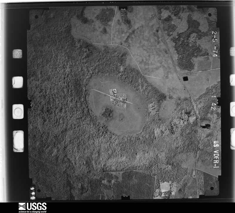
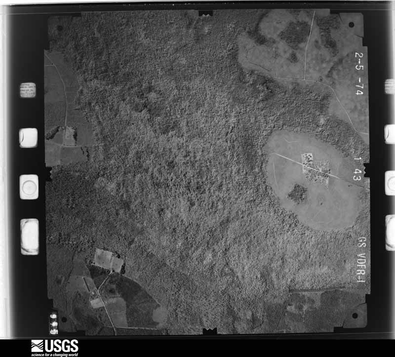
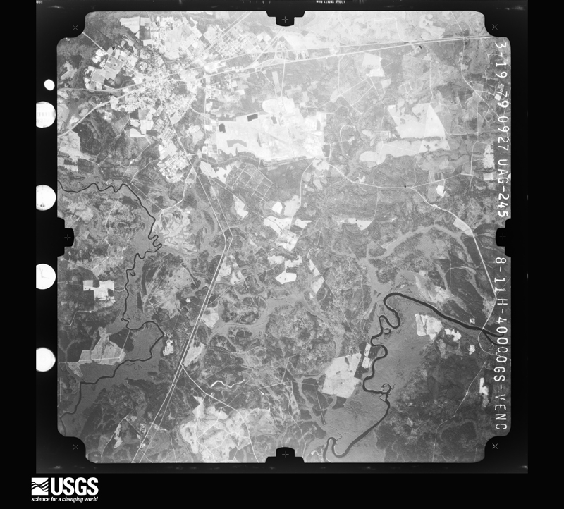
Flown by the U.S. Geological Survey between 1937 and 1989, the Aerial Photo Single Frames collection is the definitive mid-century view of the land: fields, roads and rivers as the camera saw them. The Survey holds 1,609 frames inside the rectangle that bounds this county; the 46 frames below were taken over the county itself, chosen across the decades of flights (at most four a year from that rectangle), so one flight cannot crowd out the rest. The full set is free to browse and download at EarthExplorer under the dataset Aerial Photo Single Frames.


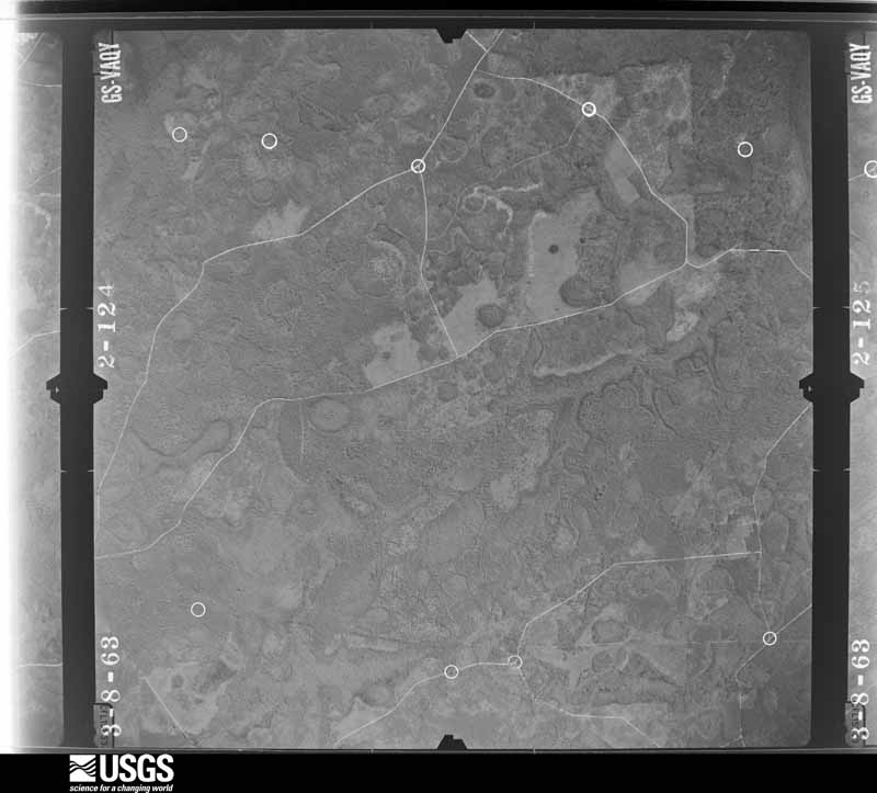
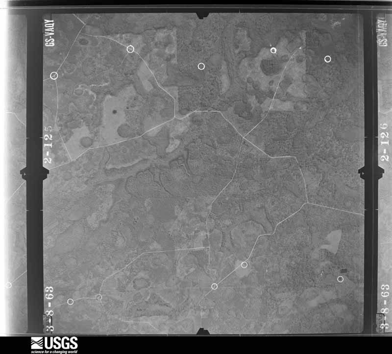
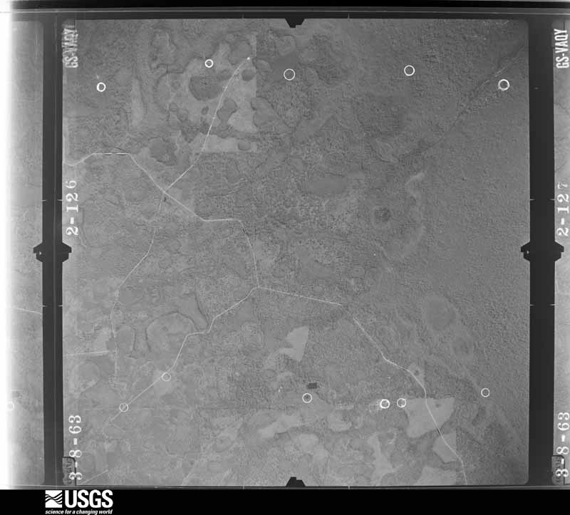
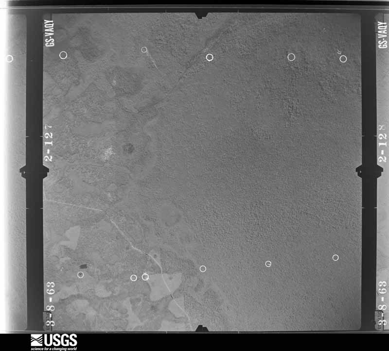



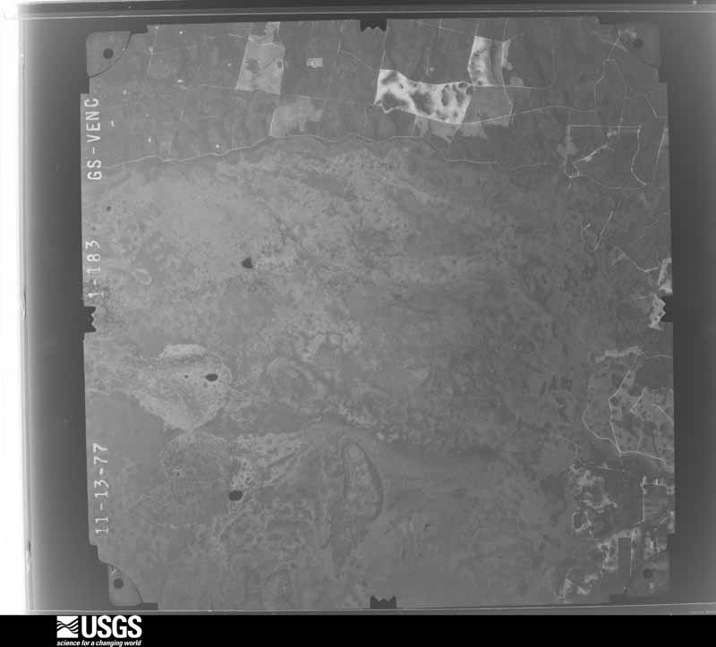
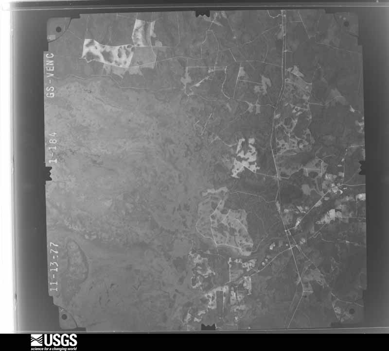
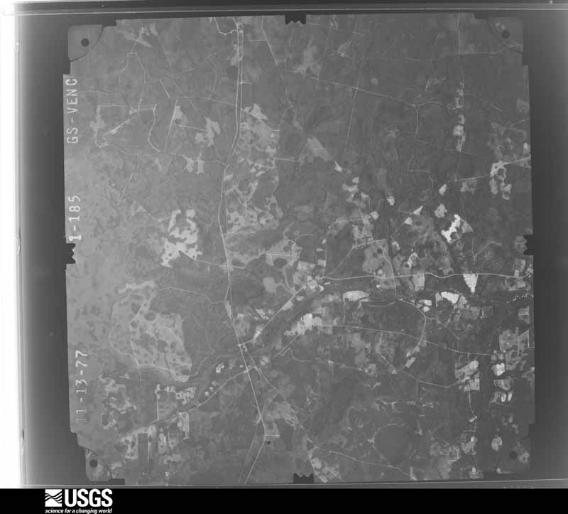
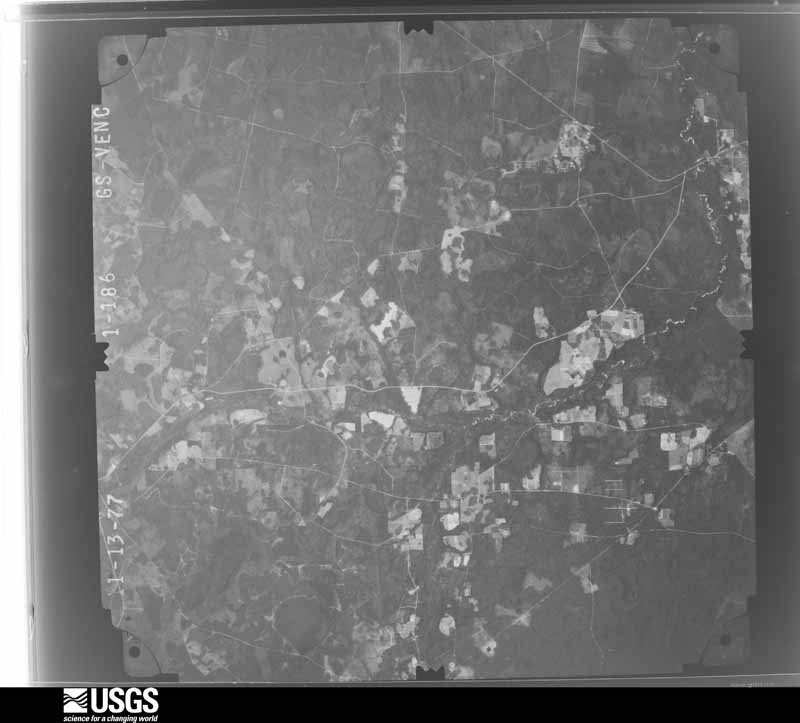
The thermometers that kept this county's weather, and the gages that measured the flow of its streams, as the federal records hold them. The extremes below are measured values from those records, not estimates.
Who lived here in 1950, one enumeration district at a time, as the Census Bureau described each district. Each row opens its official National Archives result, with Population Schedules and ED Maps available there.
Every wildfire the federal occurrence database records inside this county: 1,568 of them, burning about 257,568 acres. 507 started naturally and 289 were recorded as arson. Each settlement page carries the fires within five miles of it.
| Reported cause | Fires |
|---|---|
| Debris and open burning | 523 |
| Natural | 507 |
| Arson/incendiarism | 289 |
| Equipment and vehicle use | 100 |
| Railroad operations and maintenance | 63 |
| Missing data/not specified/undetermined | 42 |
| Misuse of fire by a minor | 16 |
| Recreation and ceremony | 16 |
| Smoking | 12 |
The five largest, by the area the report gives. One of them was set deliberately.
| Date | Cause | Size | Reported by | Name on the report |
|---|---|---|---|---|
| 16 April 2007 | Missing data/not specified/undetermined | 191,474 acres | Okefenokee National Wildlife Refuge | BIG TURNAROUND |
| 15 June 1998 | Arson/incendiarism | 16,100 acres | Georgia Forestry Commission | FY1998-CHARLTON-049 |
| 11 April 1999 | Debris and open burning | 14,128 acres | Okefenokee National Wildlife Refuge | HICKORY IS |
| 2 March 2000 | Debris and open burning | 7,800 acres | Okefenokee National Wildlife Refuge | GA-2 |
| 19 May 2001 | Natural | 6,960 acres | Okefenokee National Wildlife Refuge | CRAVENS IS |
| 14 June 2011 | Missing data/not specified/undetermined | 3,420 acres | Georgia Forestry Commission | FY2011-CHARLTON-092 |
| 5 May 2007 | Natural | 1,954 acres | Okefenokee National Wildlife Refuge | FLOYDS ISLAND PRAIRIE |
| 14 June 2011 | Debris and open burning | 1,400 acres | Georgia Forestry Commission | FY2011-CHARLTON-101 |
Every settlement page carries the fires within five miles of it - see the settlement index below.
The NOAA Storm Events Database holds 215 reports for this county, causing no deaths, 3 injuries and about $694,500 in recorded property damage. Each settlement page carries the reports that name it.
| Kind of event | Reports |
|---|---|
| Thunderstorm Wind | 119 |
| Hail | 50 |
| Heavy Rain | 19 |
| Tornado | 11 |
| Flash Flood | 5 |
| Funnel Cloud | 3 |
| Wildfire | 2 |
| Lightning | 2 |
| Flood | 2 |
| Winter Storm | 2 |
The most serious of them, by death, then injury, then recorded damage. The accounts are quoted exactly as the forecast office filed them.
| When | Event | Place named | Harm | What the report says |
|---|---|---|---|---|
| August 2008 | Thunderstorm Wind | Homeland | 2 hurt | A tree fell on a trailer home and injured two residents inside. The victims were taken to the local hospital. The extent of their injuries was unknown. |
| March 1961 | Tornado (F1) | not stated | 1 hurt | no account filed |
| October 1996 | Flash Flood | Folkston | $160,000 | no account filed |
| February 1995 | Thunderstorm Wind | Folkston | $135,000 | Thunderstorm winds severly damaged numerous homes and mobile homes. Barns and other buildings were also destroyed. Trees and power lines were blown onto roadways. |
| July 2019 | Lightning | Folkston | $100,000 | A lightning strike caused a structure fire to the Badcock Home Furniture storm in Folkston near 1st and Elm Streets. The structure was a total loss. A home nearby was also struck by lightning, but did not catch fire. The cost of damage was unknown, but it was estimated for inclusion of the even tin Storm Data. |
| December 2002 | Tornado (F1) | Winokur | $100,000 | Structural damage to buildings in Homeland, Camp Pickney and Winokur. Shop roof off in Winokur. Numerous trees down with a .5 mile damage path. |
| December 2002 | Tornado (F0) | Folkston | $50,000 | Residents reported tornado on the ground. Two homes on Camp Pickney Road damaged. Right mover moving down State Road 40 into Camden County. |
| October 1998 | Flash Flood | North Portion | $15,000 | Several roads were closed. |
| September 1996 | Flash Flood | Folkston | $15,000 | no account filed |
| February 1996 | Tornado (F0) | Mattox | $12,000 | no account filed |
| November 2002 | Thunderstorm Wind | Moniac | $10,000 | Many large trees down across power lines. |
| September 1998 | Flash Flood | Countywide | $10,000 | Rainfall amounts of 5 to 7 inches from the remnants of Hurricane Georges caused the closing of numerous street and roads. |
| February 2003 | Thunderstorm Wind | Folkston | $5,000 | On North 3rd St. tops of pine trees snapped off 30 feet above the ground. |
| June 2002 | Thunderstorm Wind | Folkston | $5,000 | Large pines downed onto power lines. Along Highway 252. |
| February 1998 | Tornado (F0) | Folkston | $5,000 | Large trees were blown down. One mobile home was damaged. Power line poles were snapped. |
| August 1999 | Thunderstorm Wind | Folkston | $3,500 | Large trees and power lines were blown down. |
| November 2025 | Thunderstorm Wind | Racepond | $3,000 | Trees And Powerlines Were Reported Down In Race Pond, GA. Time of damage Was Estimated By Radar. |
| March 2000 | Thunderstorm Wind | Homeland | $3,000 | Large trees and power lines were blown down. |
| November 1995 | Thunderstorm Wind | not stated | $3,000 | Several reports of trees and large limbs blown down. |
| March 2001 | Thunderstorm Wind | Folkston | $2,500 | Large trees and power lines were blown down. |
| March 2001 | Thunderstorm Wind | Folkston | $2,500 | Large trees were blown down. |
| March 2000 | Thunderstorm Wind | Folkston | $2,500 | Large trees were blown down. |
| March 2000 | Thunderstorm Wind | Folkston | $2,500 | Large trees and power lines were blown down. |
| June 2000 | Thunderstorm Wind | Folkston | $2,500 | Large trees and power lines were blown down. |
| July 2000 | Thunderstorm Wind | Folkston | $2,500 | Large trees and power lines were blown down. |
| January 2000 | Thunderstorm Wind | Folkston | $2,500 | Large trees and power lines were blown down. |
| September 1999 | Thunderstorm Wind | Folkston | $2,500 | Large trees and power lines were blown down. |
| February 1996 | Thunderstorm Wind | Mattox | $2,500 | no account filed |
| June 2025 | Thunderstorm Wind | Homeland | $2,000 | A spotter reported multiple downed trees and powerlines in the Folkston area. Some fires started with the downed powerlines. The time of damage was based on radar. The cost of wind damage was unknown but estimated for inclusion in Storm Data. |
| July 2024 | Thunderstorm Wind | Folkston | $2,000 | Power poles were knocked down E-SE of Folkston. | Over 1000 electric customers were reported | without power. The cost of damage was unknown, but it was estimated for inclusion of the event in Storm Data. |
| August 2012 | Lightning | Homeland | $2,000 | Lightning started a fire at a power substation in Folkston. Power outages were caused to customers in Charlton, Camden and Nassau counties. The cost of repair was estimated. |
| July 2002 | Thunderstorm Wind | St George | $2,000 | Large trees snapped and down across power lines. |
| June 2001 | Thunderstorm Wind | St George | $2,000 | Large trees and power lines were blown down. |
| April 1998 | Thunderstorm Wind | St George | $2,000 | Large trees and power lines were blown down. |
| February 1998 | Thunderstorm Wind | Folkston | $2,000 | Large trees and power lines were blown down. |
| November 1997 | Thunderstorm Wind | Folkston | $2,000 | Large trees and power lines were blown down. |
| June 1996 | Thunderstorm Wind | St George | $2,000 | no account filed |
| February 1996 | Thunderstorm Wind | Folkston | $2,000 | no account filed |
| August 1996 | Thunderstorm Wind | Winokur | $2,000 | no account filed |
| January 1999 | Thunderstorm Wind | Folkston | $1,500 | Large trees and power lines were blown down. |
| April 1998 | Thunderstorm Wind | Winokur | $1,500 | Large trees and power lines were blown down. |
| August 1998 | Thunderstorm Wind | St George | $1,500 | Large trees and power lines were blown down. |
| July 1998 | Thunderstorm Wind | Folkston | $1,500 | Large trees and power lines were blown down along HWY 121. |
| July 1998 | Thunderstorm Wind | Folkston | $1,500 | Large trees and power lines were blown down. |
| August 1998 | Thunderstorm Wind | St George | $1,500 | Large trees and power lines were blown down. |
| September 1997 | Thunderstorm Wind | Winokur | $1,500 | Large trees and power lines were blown down along US-301. |
| September 2025 | Thunderstorm Wind | Traders Hill | $1,000 | A large tree limb broke off and fell onto a house causing a hole in the | roof along Hamp Chesser Rd. The hole was | estimated to be big enough to stick an arm | through. A large pine tree was also down. | Time was estimated by radar. The cost was unknown, but it was estimated for inclusion of the event in Storm Data. |
| June 1998 | Thunderstorm Wind | Uptonville | $1,000 | Large trees were blown down along US 1. |
| March 2019 | Thunderstorm Wind | Toledo | $500 | A tree was blown down across Highway 121 near mile marker 7. The cost of damage was unknown, but it was estimated for Storm Data inclusion. |
| August 2014 | Thunderstorm Wind | Homeland | $500 | A tree was blown down at the intersection of Orange and Lincoln Streets in the town of homeland. The time of damage was based on radar data. The cost of damage was estimated (truly unknown) for the event to be included in Storm Data. |
| March 2001 | Thunderstorm Wind | Folkston | $500 | Large trees and power lines were blown down. |
| March 2000 | Tornado (F0) | St George | $500 | Brief touchdown. Weak FO |
| February 2000 | Thunderstorm Wind | Folkston | $500 | Large trees were blown down. |
| June 1998 | Thunderstorm Wind | Folkston | $500 | Large trees were blown down. |
| March 2026 | Thunderstorm Wind | St George | - | A large tree Snapped and fell across the street Near St. George Elementary School In St. George, Ga. Time Estimated Based Off Radar. |
| March 2025 | Heavy Rain | Racepond | - | A mesonet station TT331 Oke-Nw measured 3.74 | inches of rainfall. Rain began around 9 AM. | About 2.25 inches of rain fell between 10 AM | and 12 PM. |
| March 2025 | Heavy Rain | Racepond | - | A RAWs site in the Okefenokee NWR measured daily rainfall of 2.31 inches since 7 am local time. |
| March 2025 | Tornado (EF0) | Winokur | - | At approximately 1052 AM EDT, a weak and narrow EF0 tornado|touched down near a dirt road just off of Crews Community Rd in|Winokur, GA where it snapped several small healthy trees. The|tornado then continued east-northeastward along Crews Community|Road just west of the Winokur town center where it snapped several|other small tress and large branches. The most damage was observed|near the intersection of County Road 96, Crews Community Rd, and|Samuel Crews Rd near the center of Winokur as well as crossing|Highway 301 just to the north of the center of Winokur. Damage in|this area included the tops of several softwood trees were snapped,|many small & large branches were broken, a large shed was |destroyed, shingles were blown off a couple of houses, siding was ripped off a house causing partial building damage, and a |large tree snapped near the base of the trunk and fell on |powerlines. The tornado then crossed the Charlton/Brantley county|line near a heavily forested area before ending near Riverside Rd|just north of Big Oak, GA, where several small branches were |broken and a small tree was snapped near the base of the trunk. |
| August 2025 | Heavy Rain | Winokur | - | A personal weather station northwest of Folkston measured 4 inches of rain in just under 3 hours. |
| August 2025 | Heavy Rain | Folkston Davis Arpt | - | A personal weather station in Folkston measured just over 2 inches of rain in an hour. |
The Survey's mineral resources record lists 4 workings inside this county. 3 still produce and 1 is closed or unrecorded. Each settlement page carries the workings within five miles of it.
| Commodity | Workings |
|---|---|
| Sand and Gravel, Construction | 2 |
| Zirconium, Titanium | 1 |
| REE, Titanium, Zirconium | 1 |
| Thorium | 1 |
The least common of them first, because a county's hundredth gravel pit says nothing its first ten did not.
| Where | Site | Commodity | Status | Recorded |
|---|---|---|---|---|
| Folkston Concentrator | REE, Titanium, Zirconium, Thorium | Past Producer | ||
| Folkston Placer | Zirconium, Titanium | Producer | Beach Placer | |
| Charlton Sand Mine | Sand and Gravel, Construction | Producer | ||
| St. Marys Pit | Sand and Gravel, Construction | Producer |
Named settlements recorded in the Geographic Names Information System, each with the topographic sheets covering it. Villages, hamlets and abandoned places alike. Each is shown with the nearest named watercourse or landform and the survey quadrangle it falls on.
Folkston census division · 31537 · Boulogne quadrangle
17 sheets, 1917 to 1988
No longer a settlement
Folkston census division · 31537 · Boulogne quadrangle
17 sheets, 1917 to 1988
No longer a settlement
Folkston census division · 31537 · On Melton Branch · Newell quadrangle
10 sheets, 1918 to 1980
St. George census division · 31537 · On Spanish Creek · Folkston quadrangle
11 sheets, 1918 to 1994
Folkston census division · 31537 · On Little Spanish Creek · Newell quadrangle
10 sheets, 1918 to 1980
Folkston census division · 31537 · Near Green Hammock · Cravens Island quadrangle
7 sheets, 1954 to 1994
Folkston census division · 31537 · Near Turkey Island · Newell quadrangle
10 sheets, 1918 to 1980
Folkston census division · 31537 · On Hatchers Branch · Folkston quadrangle
11 sheets, 1918 to 1994
Folkston census division · 31537 · Near Trouble Valley · Newell quadrangle
10 sheets, 1918 to 1980
No longer a settlement
Folkston census division · 31537 · Burnt Fort quadrangle
17 sheets, 1917 to 1993
No longer a settlement
St. George census division · 31562 · On Mims Creek · Saint George quadrangle
13 sheets, 1918 to 1994
Folkston census division · 31537 · Near McDonald Island · Chase Prairie quadrangle
10 sheets, 1918 to 1994
St. George census division · 31537 · On Stanley Branch · Folkston quadrangle
11 sheets, 1918 to 1994
St. George census division · 31562 · On Harris Creek · Toledo quadrangle
12 sheets, 1918 to 1994
St. George census division · 31537 · On Spanish Creek · Folkston quadrangle
11 sheets, 1918 to 1994
Folkston census division · 31537 · On Little Spanish Creek · Newell quadrangle
10 sheets, 1918 to 1980
Folkston census division · 31537 · On Cross Swamp · Winokur quadrangle
8 sheets, 1953 to 1988
Folkston census division · 31537 · Boulogne quadrangle
17 sheets, 1917 to 1988
No longer a settlement
The vanished settlements of Charlton County: the places named above that are no longer on the map.