 Block
From the record
6 National Register listings published here.
Sources: the National Register database, National Park Service
14 topographic sheets and 9 fire insurance atlases across 1 place.
6 National Register listings published here.
Sources: the National Register database, National Park Service
Taken for the Office of War Information and the Farm Security Administration, who photographed the country between 1935 and 1944. Works of United States government photographers, with no known restriction on use. Each opens its catalogue record.
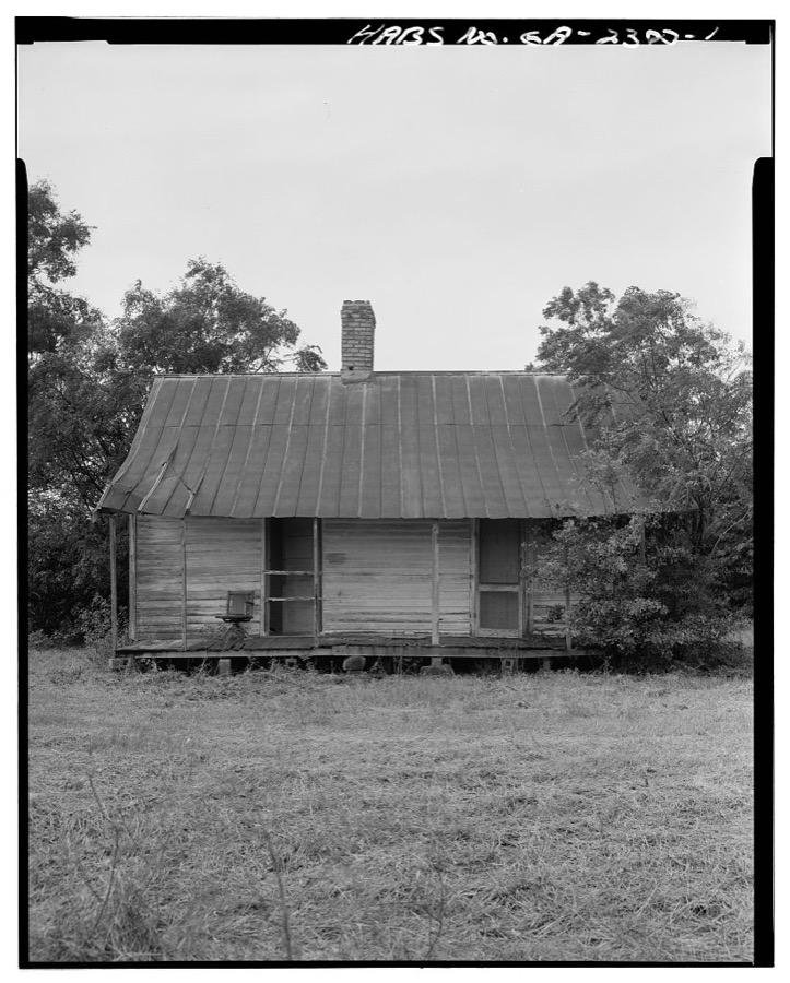
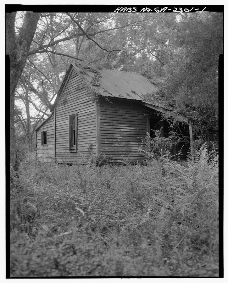
Every property in this county listed on the National Register of Historic Places, with the year it was listed and the federal nomination document.
| Photograph | Property | Type | Listed | Reference |
|---|---|---|---|---|
 | Clay County Courthouse | building | 1980 | 80000992 |
 | Dill House | building | 1975 | 75000582 |
| Fort Gaines Cemetery Site | site | 1974 | 74000669 | |
| Fort Gaines Historic District | district | 1984 | 84000970 | |
| Warren Sutton House | building | 1994 | 93001571 | |
| Toney-Standley House | building | 1974 | 74000670 |
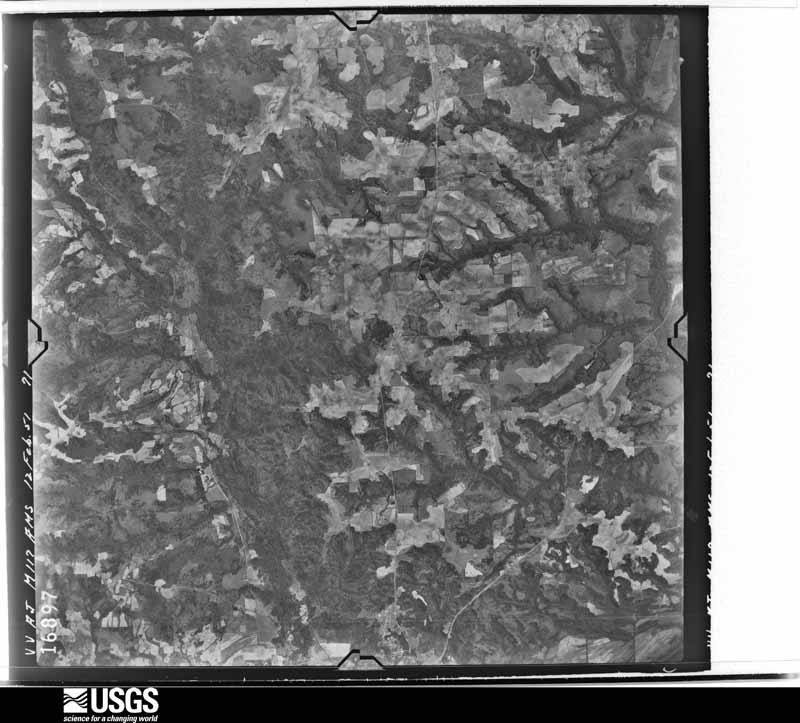
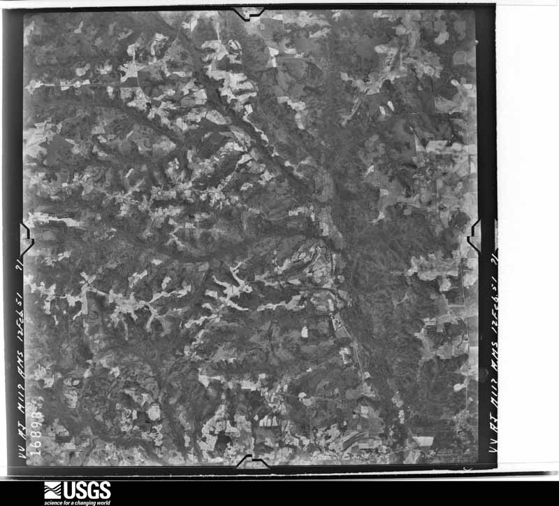
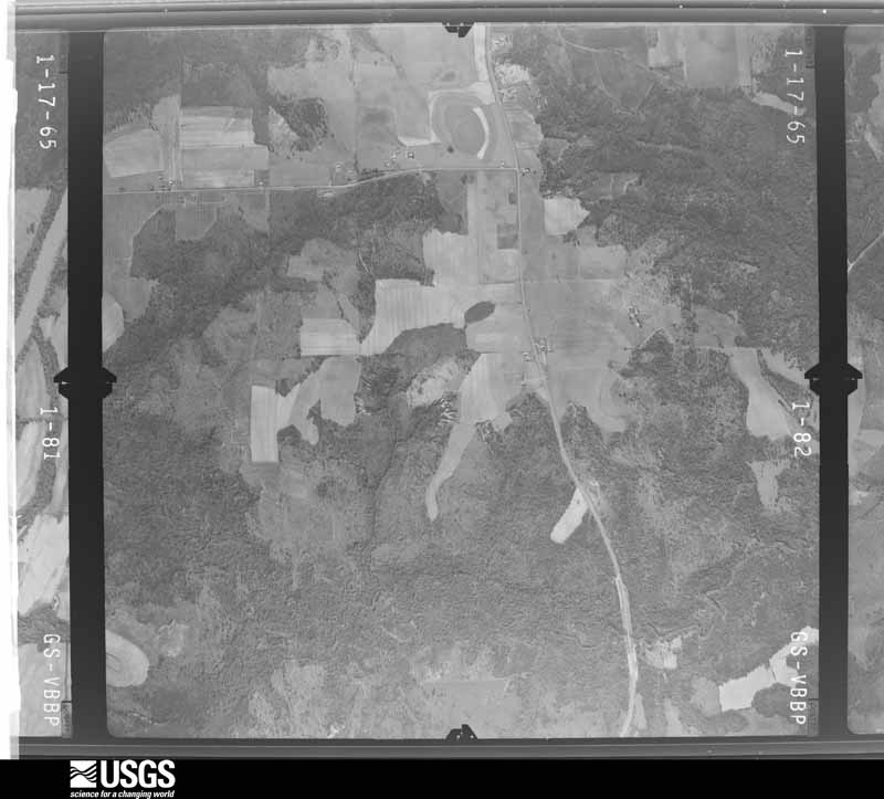
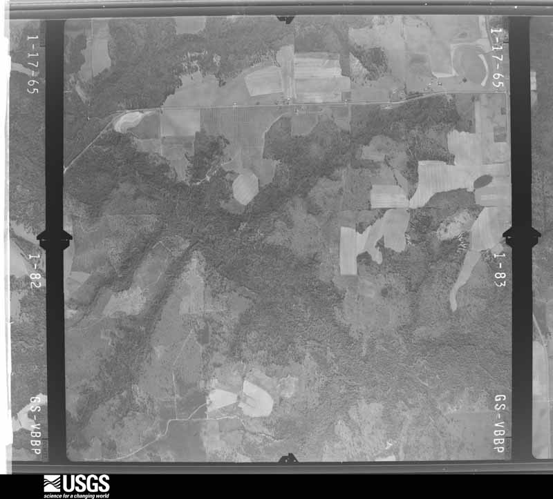
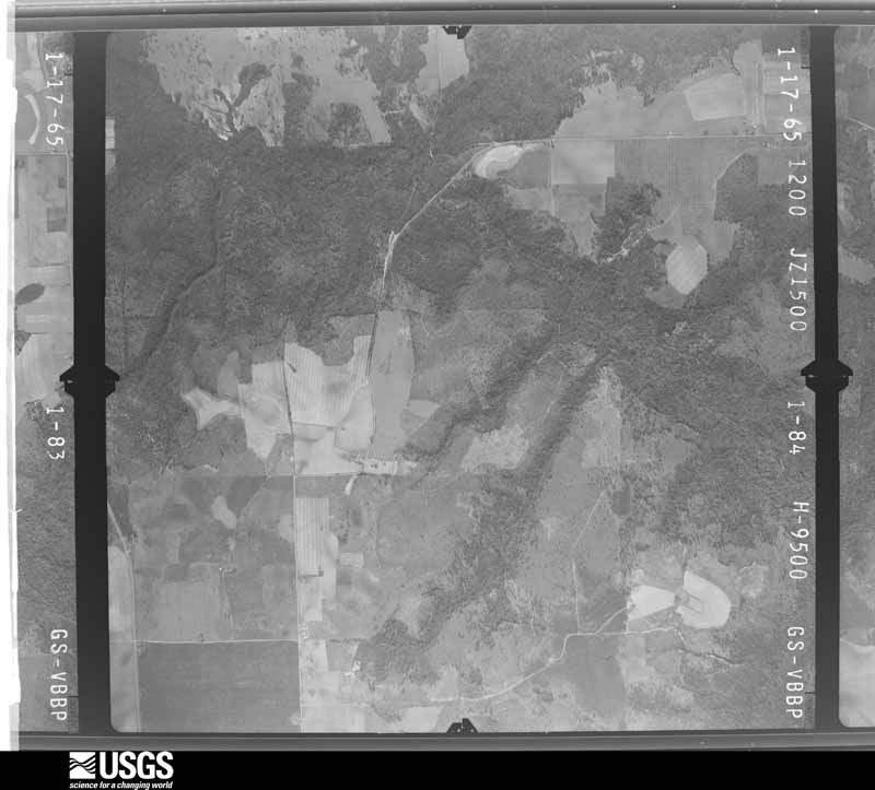
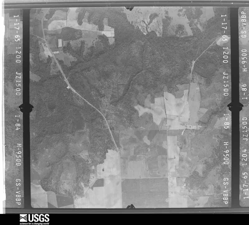
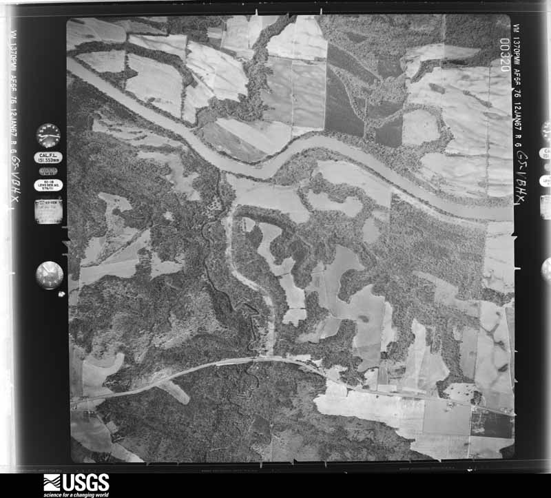
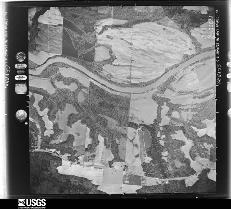
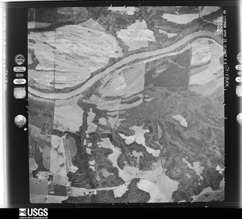
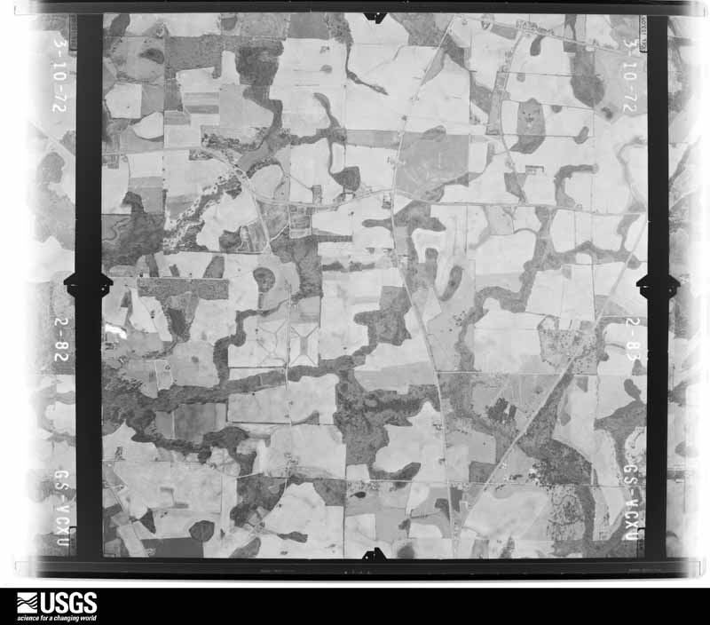
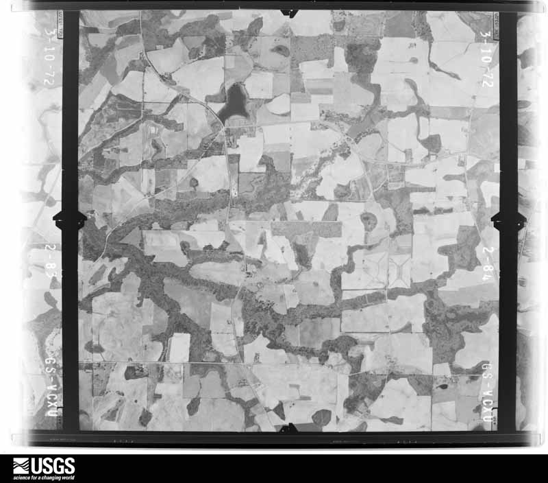
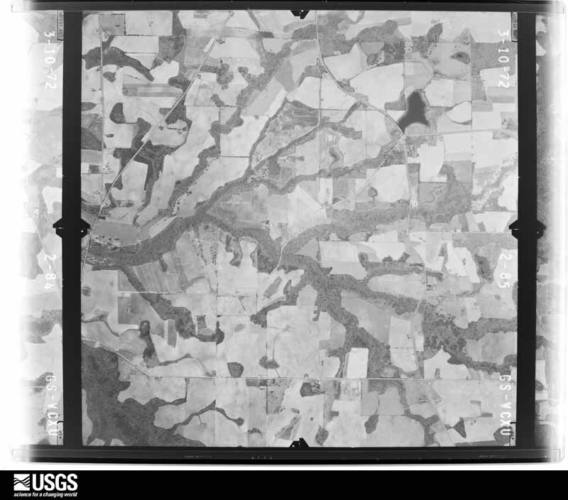
Flown by the U.S. Geological Survey between 1937 and 1989, the Aerial Photo Single Frames collection is the definitive mid-century view of the land: fields, roads and rivers as the camera saw them. The Survey holds 446 frames inside the rectangle that bounds this county; the 18 frames below were taken over the county itself, chosen across the decades of flights (at most four a year from that rectangle), so one flight cannot crowd out the rest. The full set is free to browse and download at EarthExplorer under the dataset Aerial Photo Single Frames.






The thermometers that kept this county's weather, and the gages that measured the flow of its streams, as the federal records hold them. The extremes below are measured values from those records, not estimates.
Who lived here in 1950, one enumeration district at a time, as the Census Bureau described each district. Each row opens its official National Archives result, with Population Schedules and ED Maps available there.
Every wildfire the federal occurrence database records inside this county: 242 of them, burning about 2,175 acres. 17 started naturally and 23 were recorded as arson. Each settlement page carries the fires within five miles of it.
| Reported cause | Fires |
|---|---|
| Debris and open burning | 151 |
| Missing data/not specified/undetermined | 23 |
| Arson/incendiarism | 23 |
| Natural | 17 |
| Equipment and vehicle use | 12 |
| Misuse of fire by a minor | 7 |
| Recreation and ceremony | 6 |
| Smoking | 3 |
The five largest, by the area the report gives. One of them was set deliberately.
| Date | Cause | Size | Reported by | Name on the report |
|---|---|---|---|---|
| 31 August 2006 | Natural | 476 acres | Georgia Forestry Commission | not named |
| 30 June 2011 | Natural | 156 acres | Georgia Forestry Commission | FY2011-CLAY-028 |
| 21 July 2000 | Debris and open burning | 111 acres | Georgia Forestry Commission | FY2001-CLAY-002 |
| 10 March 2007 | Debris and open burning | 105 acres | Georgia Forestry Commission | not named |
| 6 March 2017 | Debris and open burning | 94 acres | Georgia Forestry Commission | FY2017-CLAY-008 |
| 31 January 2017 | Debris and open burning | 85 acres | Georgia Forestry Commission | FY2017-CLAY-006 |
| 13 March 2004 | Arson/incendiarism | 81 acres | Georgia Forestry Commission | not named |
| 13 May 2007 | Natural | 73 acres | Georgia Forestry Commission | not named |
Every settlement page carries the fires within five miles of it - see the settlement index below.
The NOAA Storm Events Database holds 83 reports for this county, causing 1 death, 11 injuries and about $8,899,700 in recorded property damage. Each settlement page carries the reports that name it.
| Kind of event | Reports |
|---|---|
| Thunderstorm Wind | 70 |
| Tornado | 10 |
| Hail | 2 |
| Winter Storm | 1 |
The most serious of them, by death, then injury, then recorded damage. The accounts are quoted exactly as the forecast office filed them.
| When | Event | Place named | Harm | What the report says |
|---|---|---|---|---|
| January 1963 | Tornado (F1) | not stated | 1 killed, 4 hurt, $2,500,000 | no account filed |
| October 1993 | Thunderstorm Wind | Ft. Gaines | 6 hurt, $5,000,000 | Thunderstorm winds rolled and destroyed four mobile homes and downed several trees. The damage path of the straight line thunderstorm winds was one quarter mile in width by three miles in length. Several boats and docking facilities were severely damaged at Lake Walter F. George. Four people were injured from wind blown debris while a mother and a child were severely injured when blown from a mobile home. |
| January 2017 | Tornado (EF2) | Bellville | 1 hurt, $250,000 | The tornado touched down in Clay County and moved northeast through the northwest corner of Calhoun County and into southern Randolph County. It caused extensive tree damage with nearly every tree in its path snapped through the Clay and Calhoun portions of the track. In addition, it flipped a mobile home in Clay County, injuring one person who was inside. The tornado caused major roof damage in Clay and Calhoun counties removing the roofing structure from two homes. It also caused minor roofing damage to several homes in all three counties. This tornado was rated EF2 with max winds estimated at 125 mph. Damage cost was estimated. |
| May 2004 | Tornado (F1) | Suttons Corner | $450,000 | A tornado touched down and destroyed three homes and damaged two others. It also toppled several trees and power lines. The tornado moved moved northeast into Randolph County. Reported by the Clay County EMA and WALB-TV Albany. |
| March 2007 | Tornado (EF0) | Ft Gaines | $250,000 | After crossing from Alabama across Lake Eufaula, the tornado damaged several homes along Lakeview Drive, Macedonia Road, and Pataula Heights Lane. The tornado then approached Pataula Shores Circle and crossed State Highway 39. It snapped or uprooted many pines in and around Mt Zion Church Road, Frontage Trail and Hatcher Road before crossing the Clay-Quitman county line. | |
| January 2001 | Thunderstorm Wind | Ft Gaines | $175,000 | Four mobile homes, two homes and a barn damaged. Reported by the Clay County Sheriff. |
| December 2000 | Thunderstorm Wind | Ft Gaines | $100,000 | Six residences and a barn sustained minor damage. Reported by the Clay County Sheriff. |
| January 2006 | Thunderstorm Wind | Bluffton | $25,000 | Several public reports of downed trees and minor damage to homes. |
| January 1972 | Tornado (F1) | not stated | $25,000 | no account filed |
| January 2023 | Thunderstorm Wind | Moores Crossroads | $10,000 | Scattered tree damage occurred along Thornton Road, centered in the Pataula Creek area. Two mobiles homes sustained damage when large branches fell onto them. |
| April 2020 | Thunderstorm Wind | Standleys Store | $10,000 | A tree fell on a home at Day Ave and Macedonia Church Road. About 30 other trees were blown down across the county. |
| January 2019 | Tornado (EF1) | Zetto | $10,000 | A brief tornado touched down just west of Zetto and impacted a single family residence. Part of the roof was ripped off from an attached carport as well as a garage on a shed blown in. Trees were uprooted and large branches were broken off on the residence. Brick and shingle damage was noted as well as other debris thrown about the yard and well behind the residence. |
| March 2019 | Tornado (EF0) | Fort Gaines | $10,000 | The tornado touched down in Henry County Alabama in an area just south of Shorterville on Henry County Route 47 between Bennett Mill Creek and Route 188. There were several softwood trees uprooted in this area. The tornado proceeded northeast across the Chattahoochee River into Clay County Georgia. The damage in Clay County Georgia began on Route 39/ Washington Street near the intersection of Blakely and Blufton Highways. There were several softwood trees uprooted in this area, as well as some roofing material removed from the roadway. Additional softwood trees were uprooted at several points between the aforementioned intersection to a point just north of Route 37/ Edison Highway along Wesely Chapel Road. In addition, Center Line Irrigation was also downed near the previously mentioned location. Damage cost was estimated. |
| January 2002 | Thunderstorm Wind | Countywide | $10,000 | Numerous downed trees and power lines. Reported by the Clay County Sheriff. |
| March 2011 | Thunderstorm Wind | Fort Gaines-Clay Arpt | $8,000 | A tree was blown onto a house in Fort Gaines with reports of trees down throughout the county. The monetary damage figure provided is a rough estimate. |
| May 2004 | Thunderstorm Wind | Ft Gaines | $5,000 | Downed trees and power lines reported by the Clay County EMA. |
| December 2000 | Thunderstorm Wind | Countywide | $5,000 | Several trees and power lines down. Reported by the Clay County EMA. |
| November 1993 | Thunderstorm Wind | Bluffton | $5,000 | Several large tree limbs and television antennaes were blown down by thunderstorm winds. |
| September 2016 | Thunderstorm Wind | Ricks Place | $4,000 | Trees were blown down onto power lines and one power pole was broken. |
| January 2013 | Thunderstorm Wind | Standleys Store | $4,000 | Multiple trees were blown down throughout the county. Monetary damage was estimated. |
| September 2011 | Thunderstorm Wind | Fort Gaines | $4,000 | Several trees were blown down along West Bluffton Road. The monetary damage figure provided is a rough estimate. |
| March 2026 | Thunderstorm Wind | Fort Gaines | $3,000 | Numerous trees and power lines were blown down across Clay county. |
| January 2020 | Thunderstorm Wind | Fort Gaines | $3,000 | Two trees were blown down along with a blown transformer between Church Street and College Street. |
| March 2020 | Thunderstorm Wind | Days Crossroads | $3,000 | Trees were blown down with some trees on power lines across the northern portions of Clay county. |
| March 2020 | Thunderstorm Wind | Ricks Place | $3,000 | Siding was blown off a building. |
| July 2015 | Thunderstorm Wind | Fort Gaines | $3,000 | Trees and power lines were blown down in Fort Gaines. |
| June 2012 | Thunderstorm Wind | Ricks Place | $3,000 | A few trees and power lines were blown down near Highway 39 in northern Clay county. Monetary damage was estimated. |
| May 2006 | Thunderstorm Wind | Countywide | $2,500 | The Clay County Sheriff reported some trees and power lines down throughout the county. |
| May 2022 | Thunderstorm Wind | Days Crossroads | $2,000 | There were 8 trees and 1 power line blown down across Clay county. |
| July 2018 | Thunderstorm Wind | Fort Gaines | $2,000 | A power line was blown down south of Fort Gaines along Smith Lane. |
| March 2016 | Thunderstorm Wind | Fort Gaines | $2,000 | Power lines were blown down along Highway 37 south of Fort Gaines. In addition, several trees were reported down throughout Clay county. |
| April 2015 | Thunderstorm Wind | Fort Gaines | $2,000 | Trees and power lines were blown down. |
| June 2008 | Thunderstorm Wind | Ft Gaines | $2,000 | Several power lines were down north of Fort Gaines. |
| March 2007 | Thunderstorm Wind | Standleys Store | $2,000 | Several downed trees and power lines were reported. |
| January 2006 | Thunderstorm Wind | Southeast Portion | $2,000 | Several downed trees along Highway 39 reported by the Clay County Sheriff. |
| June 2014 | Thunderstorm Wind | Standleys Store | $1,000 | A tree was blown down on Pataula Heights Lane. |
| August 2013 | Thunderstorm Wind | Fort Gaines | $1,000 | A tree was blown down along Highway 39. |
| May 2012 | Thunderstorm Wind | Watson Crossroads | $1,000 | A tree was blown down on Cotton Hill Road. Monetary damage was estimated. |
| April 2006 | Thunderstorm Wind | Southeast Portion | $1,000 | The Clay County Sheriff reported downed trees west of Bluffton. |
| June 2012 | Thunderstorm Wind | Bluffton | $500 | A single tree was blown down on Sains Hatchery Road with no other wind damage reported in the area. Monetary damage was estimated. |
| May 2006 | Thunderstorm Wind | Days Xrds | $500 | The Clay County Sheriff reported a few trees down. |
| July 2000 | Thunderstorm Wind | Bluffton | $200 | A few trees down at the intersection of State Road 37 and U.S. Highway 27. Reported by the Clay County EMA. |
| March 2026 | Thunderstorm Wind | Bluffton | - | Trees were down and blocking Eldridge St. |
| March 2025 | Thunderstorm Wind | Fort Gaines-Clay Arpt | - | A tree was blown down around East Bank and Highway 39N. |
| January 2025 | Winter Storm | not stated | - | Widespread 2 to 3 inches of snow across Hancock County. Roads quickly became snow covered and very slick. |
| January 2023 | Thunderstorm Wind | Ricks Place | - | Large branches were blown down along Azalea Trace. |
| January 2023 | Thunderstorm Wind | Jones Crossing | - | Trees were blown down on Highway 266 before Bethel Church Road. |
| August 2023 | Thunderstorm Wind | Fort Gaines-Clay Arpt | - | Large tree limbs were blown down onto Highway 266 eastbound at Cotton Hill Road with one lane blocked. |
| June 2023 | Thunderstorm Wind | Pecan | - | Large tree limbs were blown down on Highway 37 at Powell Dairy Road and blocked the road. |
| June 2022 | Thunderstorm Wind | Moores Crossroads | - | Trees were snapped in northern Clay County. |
| April 2021 | Thunderstorm Wind | Fort Gaines | - | Scattered trees were blown down. |
| April 2021 | Thunderstorm Wind | Bluffton | - | Scattered trees were blown down. |
| April 2021 | Thunderstorm Wind | Fort Gaines | - | Trees were blown down with power lines on Highway 39 and Highway 37. |
| April 2021 | Thunderstorm Wind | Fort Gaines-Clay Arpt | - | Trees and power lines were blown down. |
| May 2021 | Thunderstorm Wind | Ricks Place | - | The UGA Weather Network station at Sunny View Farms measured a wind gust of 70 mph. |
| June 2021 | Tornado (EF1) | Harrisons Mill | - | A tornado touched down west of Blakely, GA and traversed mainly rural terrain across Early, Clay, and Randolph Counties. The tornado was observed at multiple locations by trained spotters and the public throughout its path. The storm snapped or uprooted numerous pine trees northwest of Blakely. Tree damage continued into Clay County but didn't affect any major roadways. The tornado crossed GA-266 near Coleman in Randolph County. Minor structural damage was noted to a few residences and pump houses near US-82 and Reid Station Road west of Cuthbert. Numerous trees were snapped in this area, some blocking US-82. Some further tree damage was reported north of the highway before the tornado lifted. |
| June 2020 | Thunderstorm Wind | Fort Gaines-Clay Arpt | - | A tree was blown down. |
| June 2020 | Thunderstorm Wind | Jones Crossing | - | Multiple trees were blown down. |
| April 2020 | Thunderstorm Wind | Fort Gaines-Clay Arpt | - | Trees were blown down at the Dollar General Store in Ft Gaines. |
| March 2019 | Thunderstorm Wind | Pecan | - | Trees were blown down along Highway 37. |
Named settlements recorded in the Geographic Names Information System, each with the topographic sheets covering it. Villages, hamlets and abandoned places alike. Each is shown with the nearest named watercourse or landform and the survey quadrangle it falls on. The 1 place that was also surveyed for fire insurance comes first, with the number of atlases and photographs held for them.
Fort Gaines census division · 39851 · On Town Branch · Fort Gaines quadrangle
8 sheets, 1953 to 1981
Fire insurance: 9 atlases
Fort Gaines census division · 39851 · On Little Creek · Coleman quadrangle
7 sheets, 1953 to 1981
Fort Gaines census division · 39851 · Fort Gaines NE quadrangle
7 sheets, 1953 to 1981
Fort Gaines census division · 39867 · Near Johnny Moore Hill · Hatcher quadrangle
7 sheets, 1953 to 1981
Fort Gaines census division · 39851 · On Waukeefriskee Creek · Coleman quadrangle
7 sheets, 1953 to 1981
Fort Gaines census division · 39867 · Near Johnny Moore Hill · Fort Gaines NE quadrangle
7 sheets, 1953 to 1981
Fort Gaines census division · 39851 · Fort Gaines NE quadrangle
7 sheets, 1953 to 1981
No longer a settlement
Fort Gaines census division · 39851 · On Waukeefriskee Creek · Coleman quadrangle
7 sheets, 1953 to 1981
Fort Gaines census division · 39854 · On Drag Nasty Creek · Hatcher quadrangle
7 sheets, 1953 to 1981
Fort Gaines census division · 39867 · Near Johnny Moore Hill · Fort Gaines NE quadrangle
7 sheets, 1953 to 1981
The vanished settlements of Clay County: the places named above that are no longer on the map.
8 topographic sheets and 9 fire insurance atlases, 1885 to 1932
The complete index, with nothing left out. Each of these is a separate record with its own page: a federal survey report, or the case file that argued a property on to the National Register. Both are public domain and reproduced word for word.
The vanished settlements of Clay County, the places these records name that are no longer on the map.