 Block
From the record
2 National Register listings published here.
Sources: the county history on the Internet Archive · the National Register database, National Park Service
42 topographic sheets cover 25 settlements here, and 2 properties are on the National Register of Historic Places.
2 National Register listings published here.
Sources: the county history on the Internet Archive · the National Register database, National Park Service
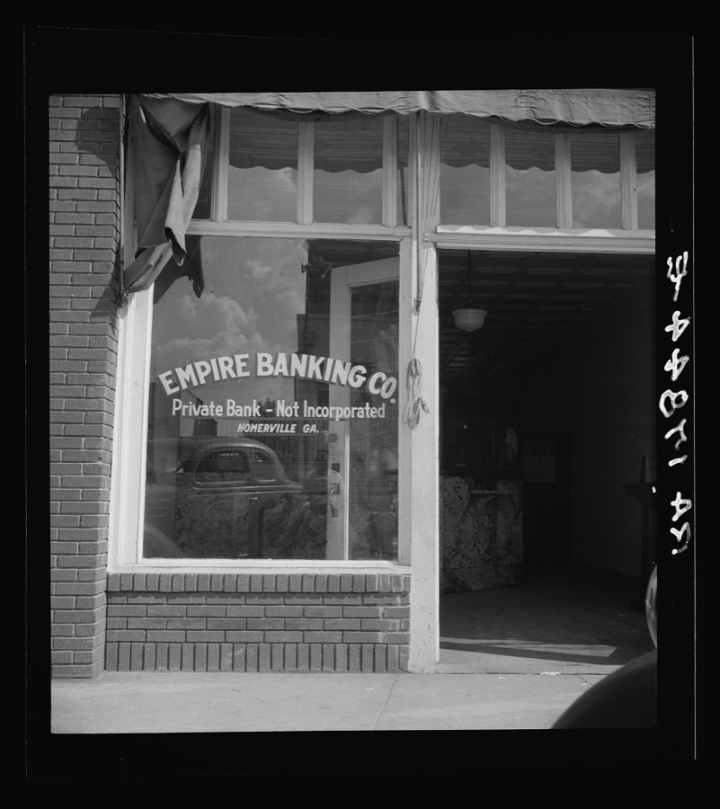
Taken for the Office of War Information and the Farm Security Administration, who photographed the country between 1935 and 1944. Works of United States government photographers, with no known restriction on use. Each opens its catalogue record.
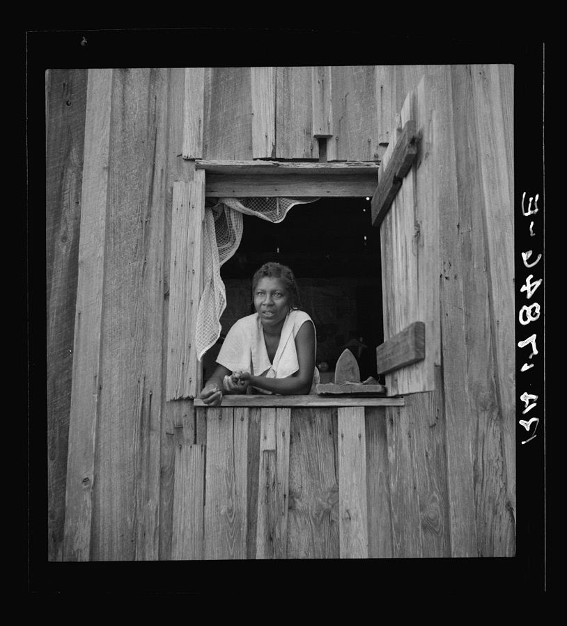

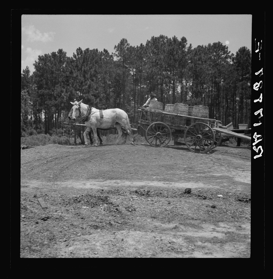
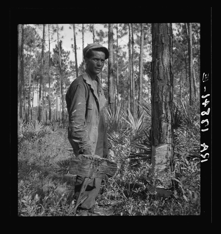
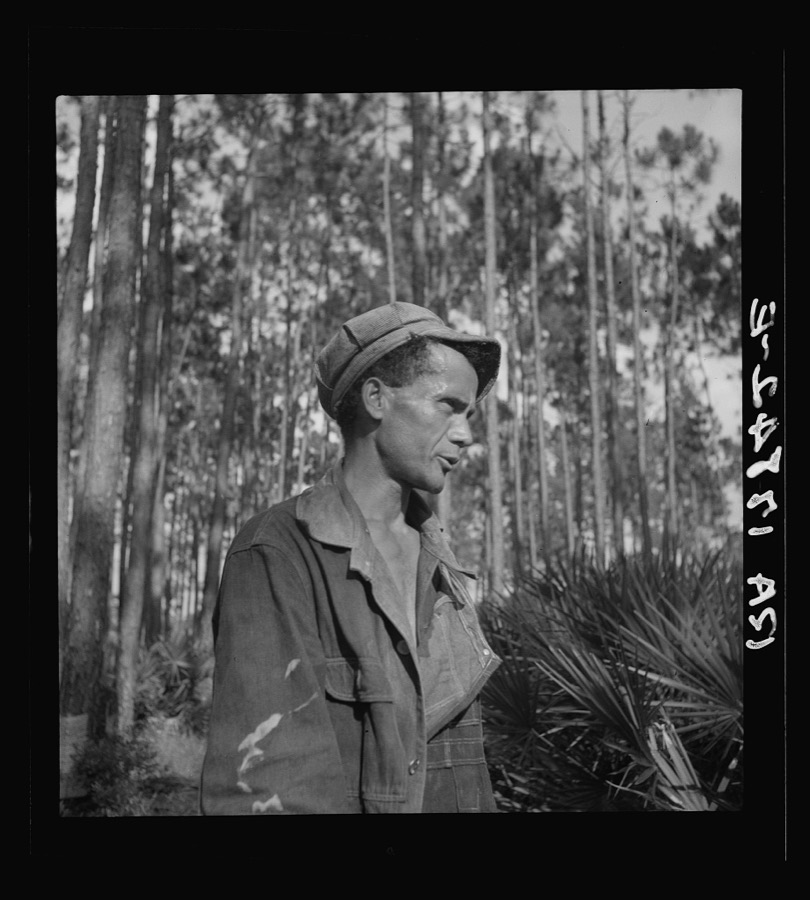
Every property in this county listed on the National Register of Historic Places, with the year it was listed and the federal nomination document.
| Photograph | Property | Type | Listed | Reference |
|---|---|---|---|---|
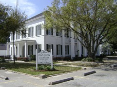 | Clinch County Courthouse | building | 1980 | 80000993 |
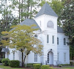 | Clinch County Jail | building | 1980 | 80000994 |
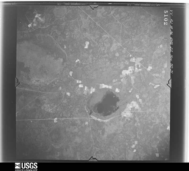
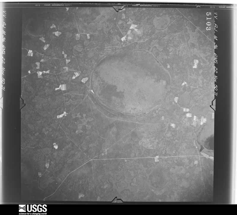
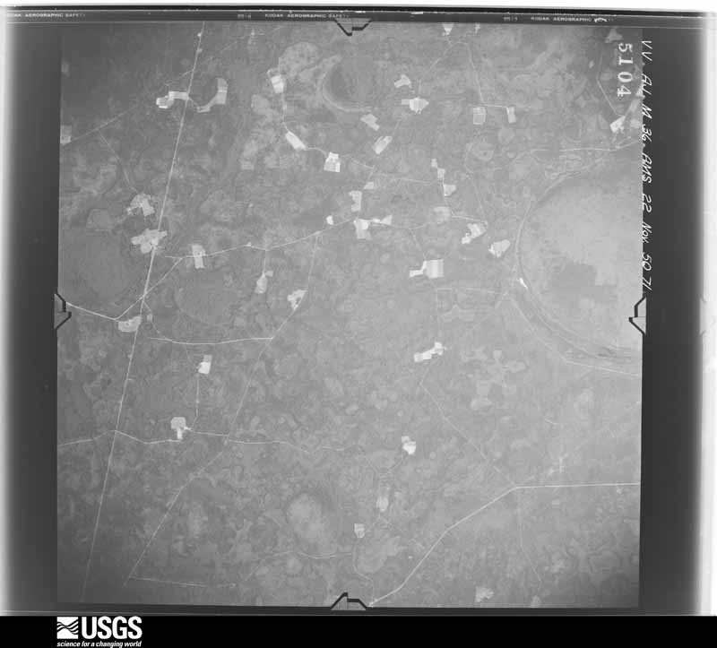
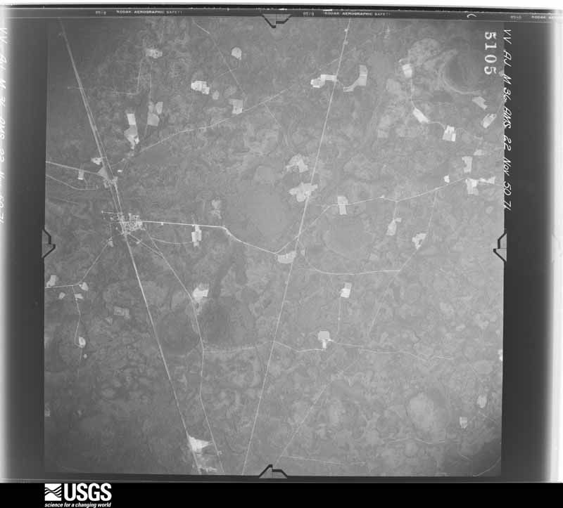
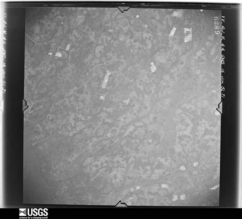
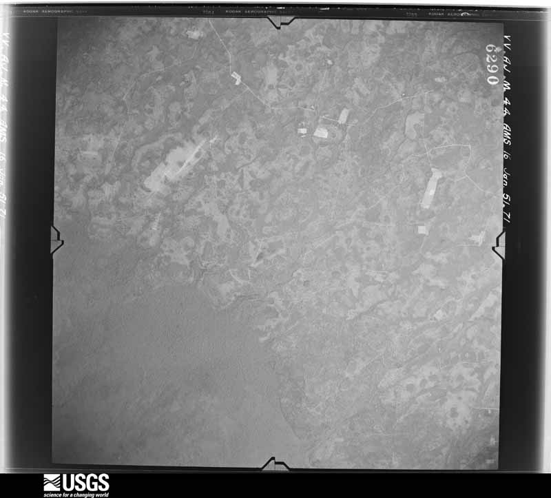
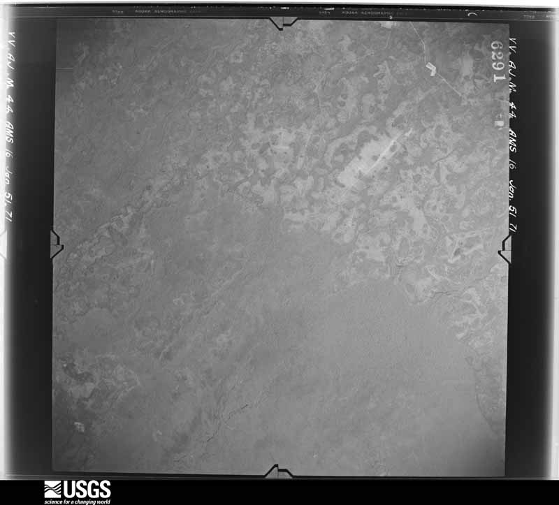
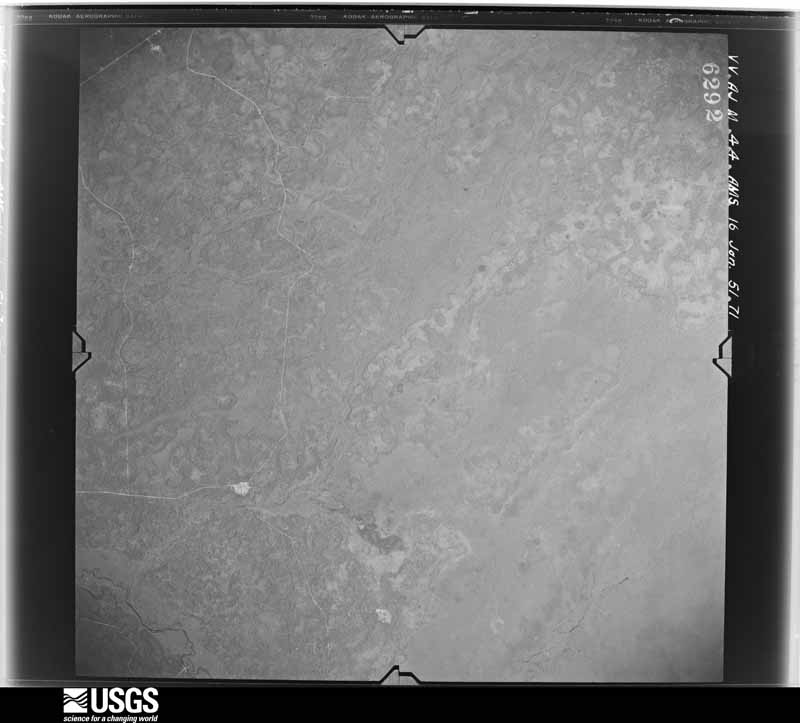
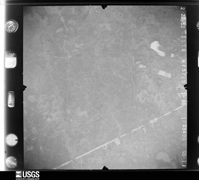
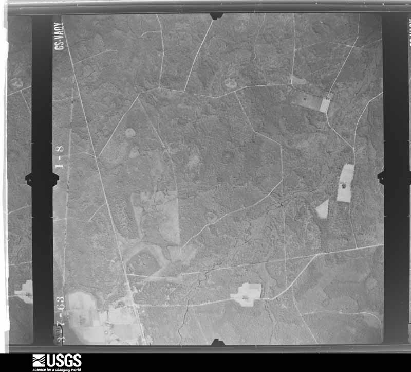
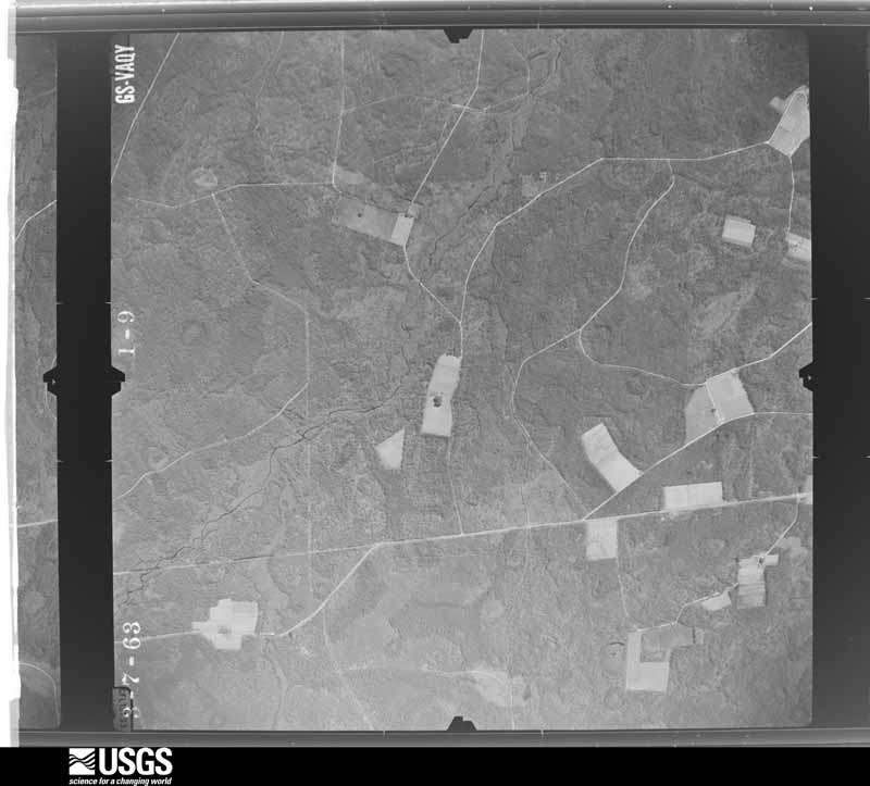
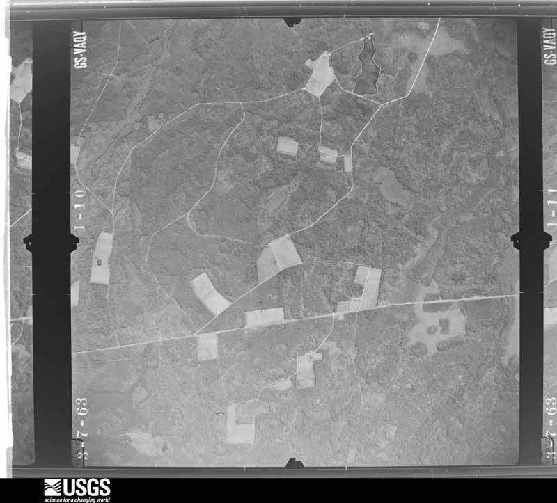
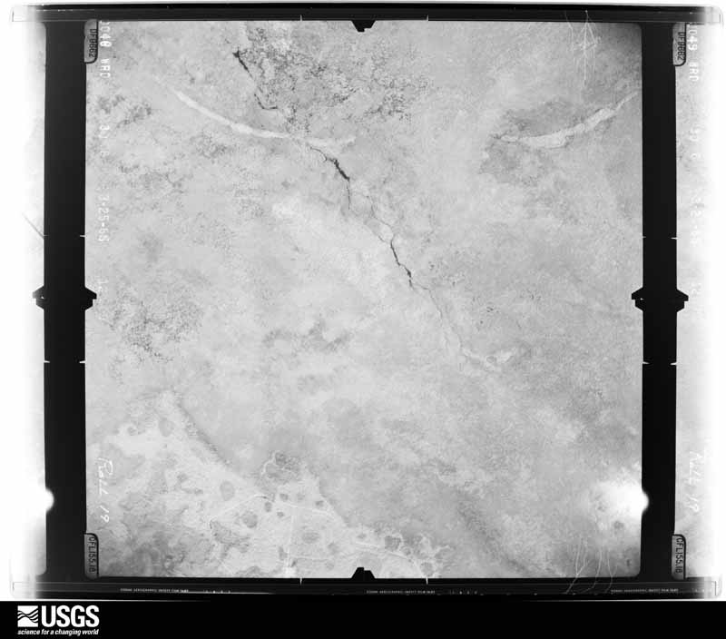
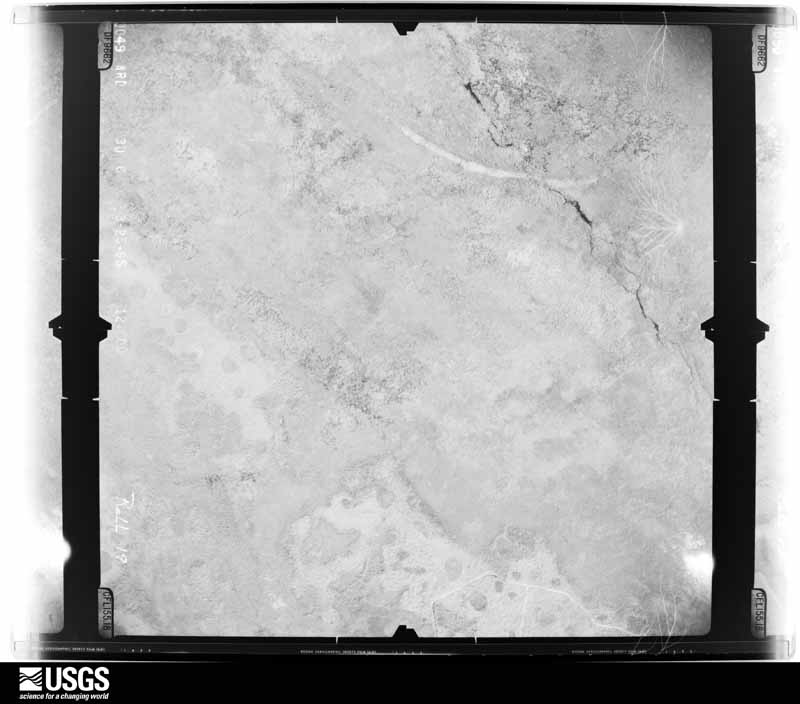
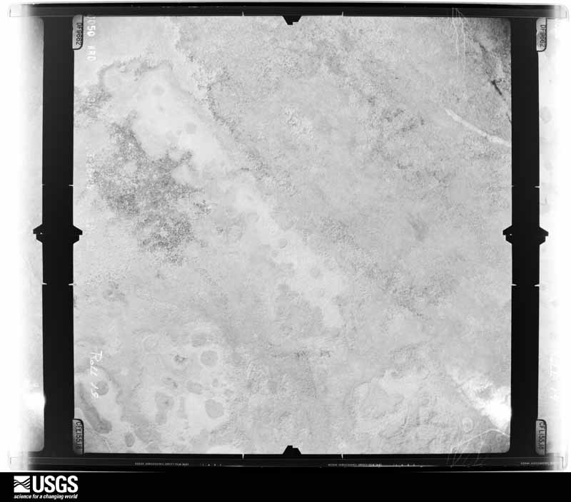
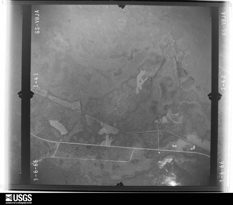
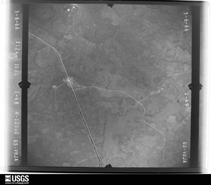
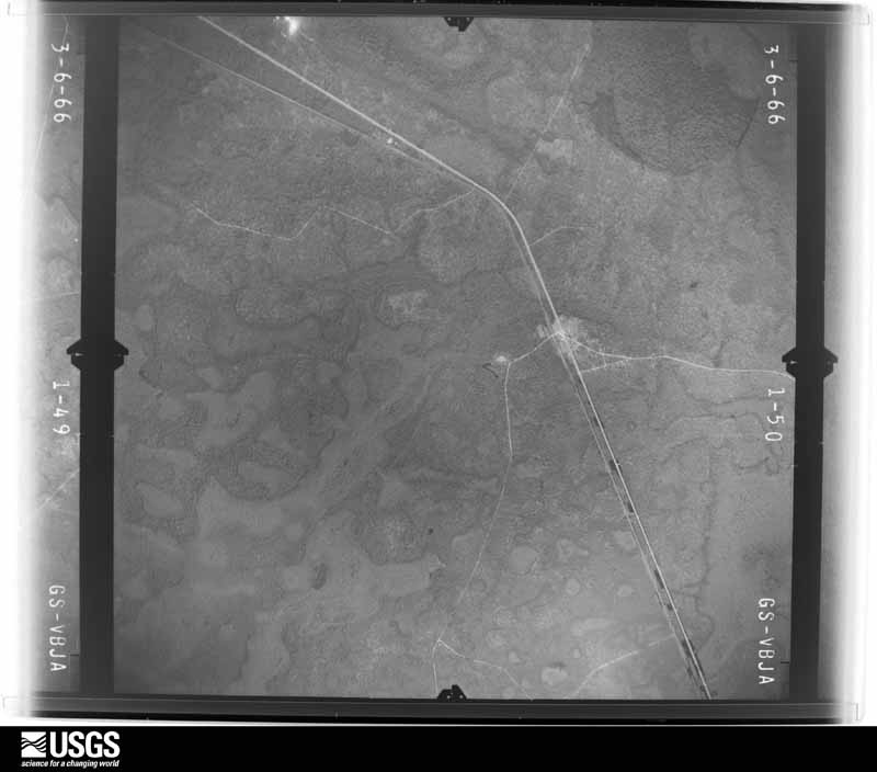
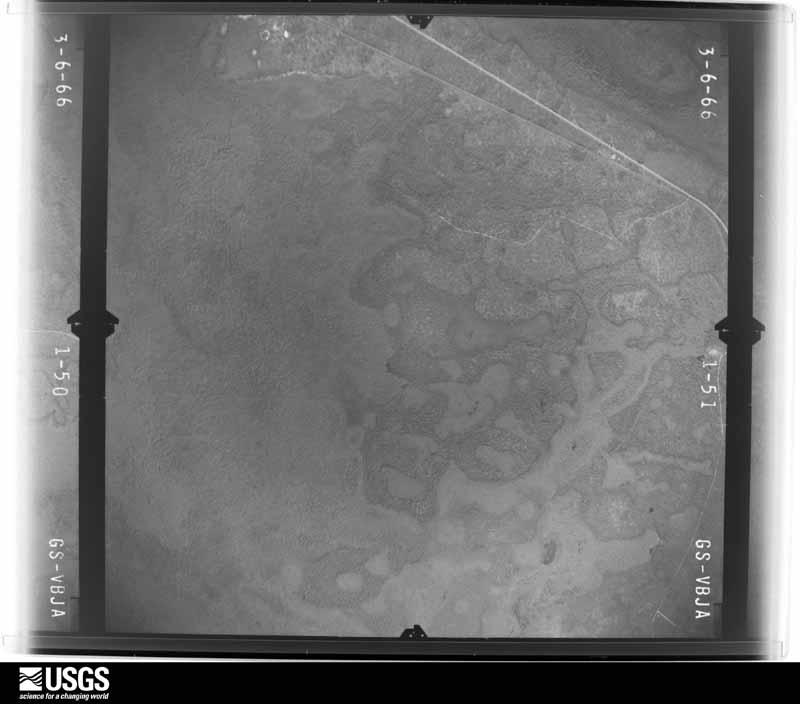
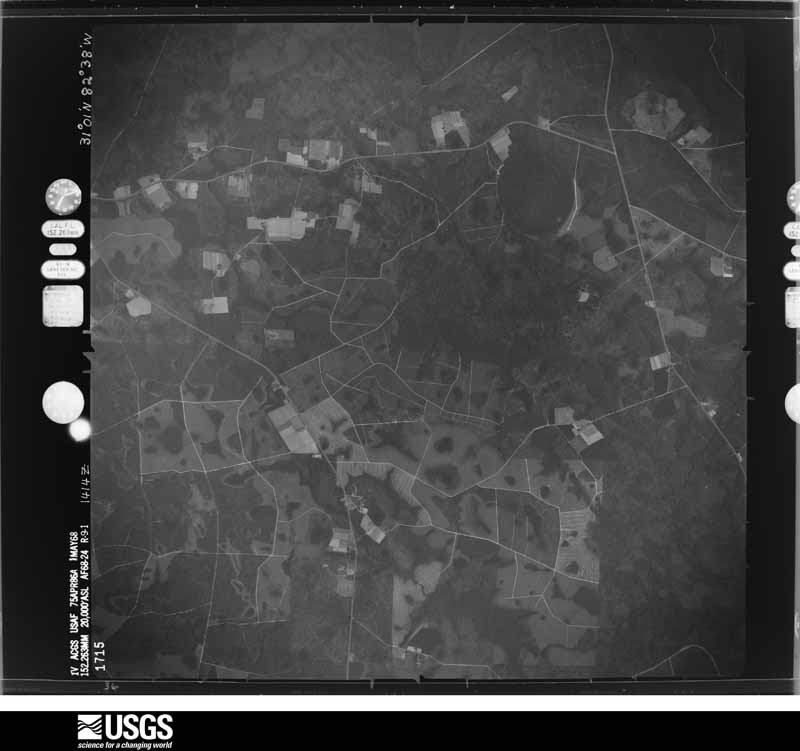
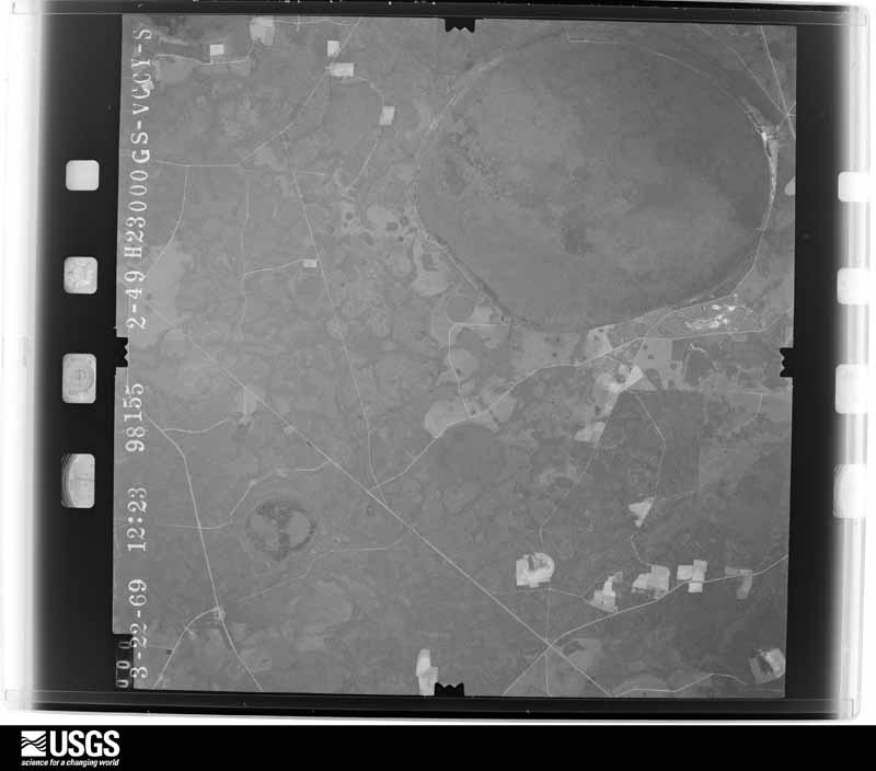
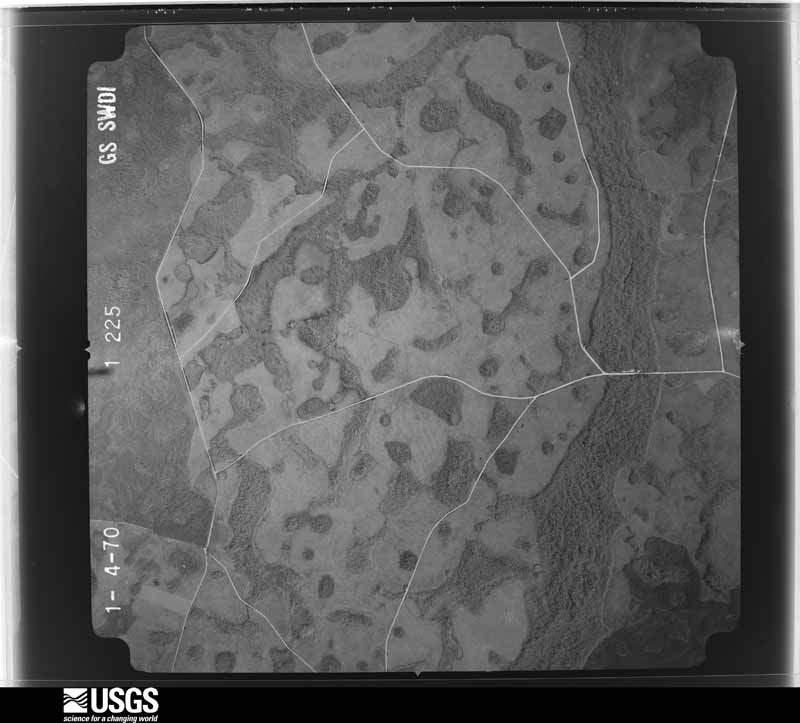
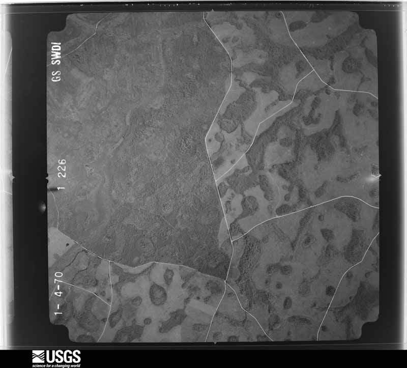
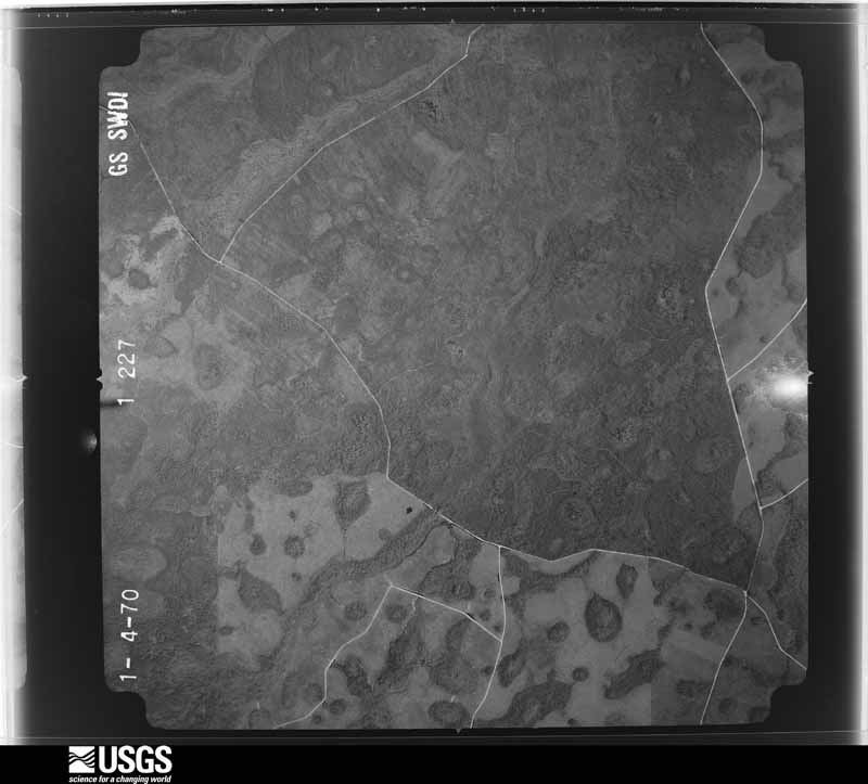
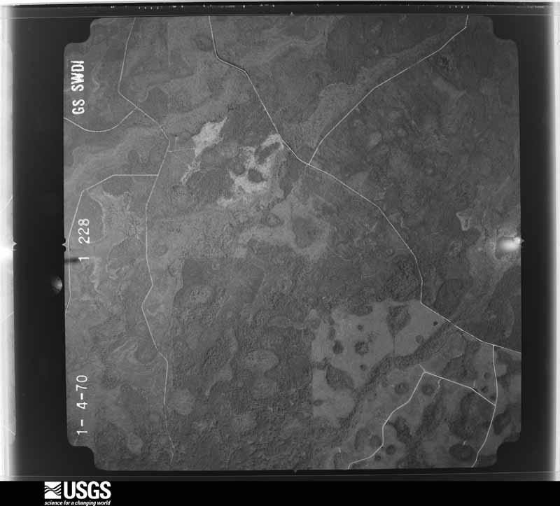
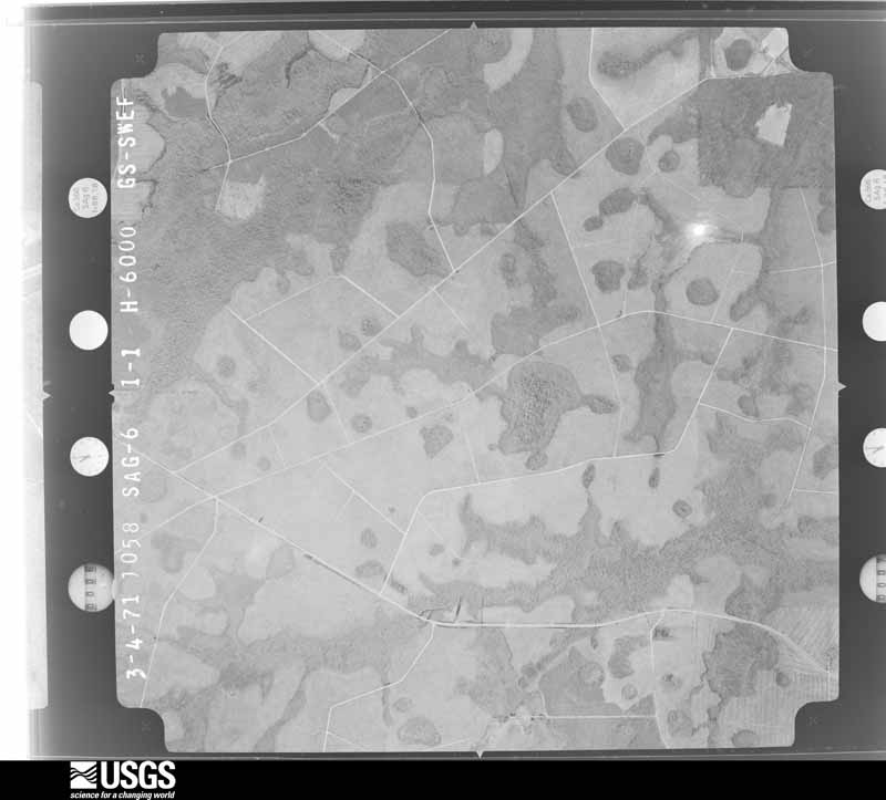
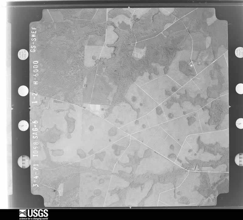
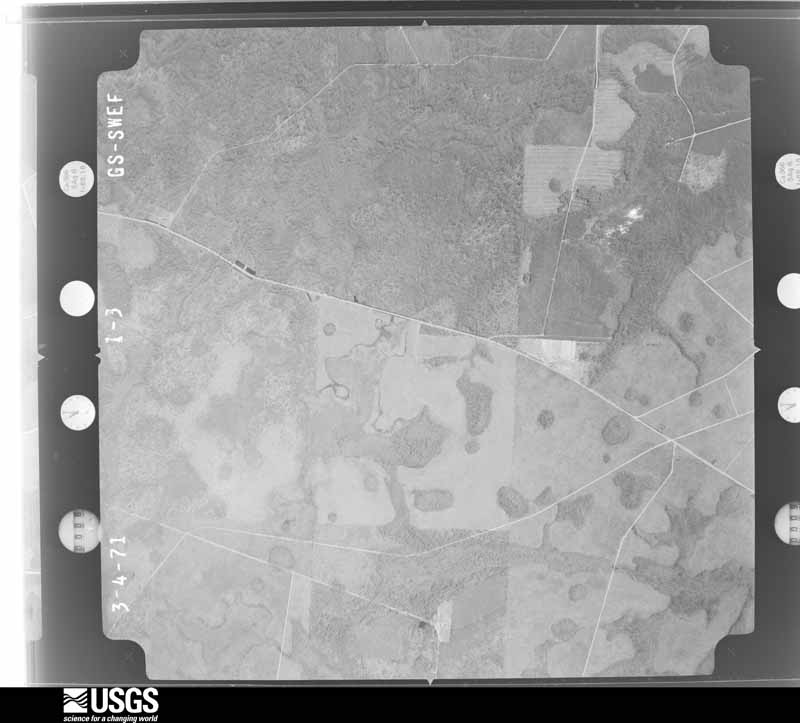
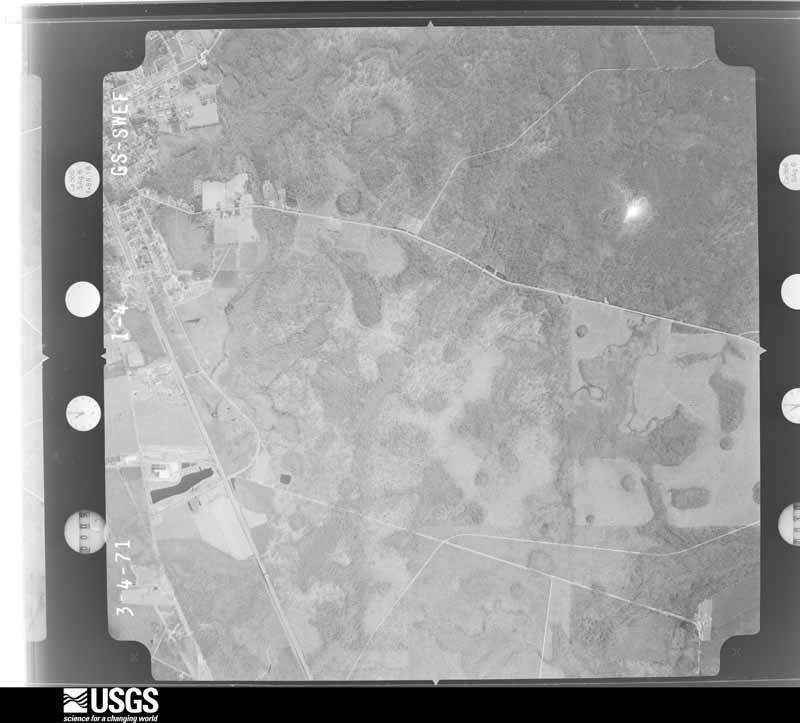
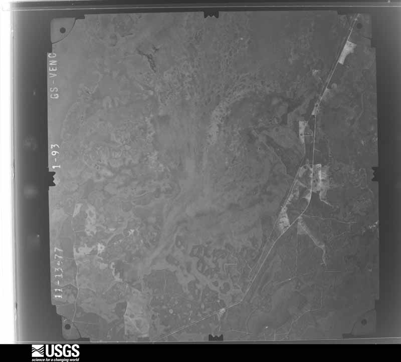
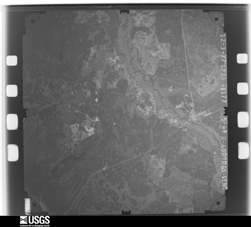
Flown by the U.S. Geological Survey between 1937 and 1989, the Aerial Photo Single Frames collection is the definitive mid-century view of the land: fields, roads and rivers as the camera saw them. The Survey holds 1,447 frames inside the rectangle that bounds this county; the 40 frames below were taken over the county itself, chosen across the decades of flights (at most four a year from that rectangle), so one flight cannot crowd out the rest. The full set is free to browse and download at EarthExplorer under the dataset Aerial Photo Single Frames.
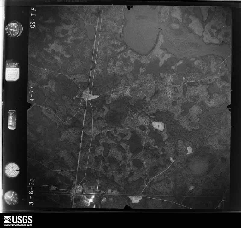
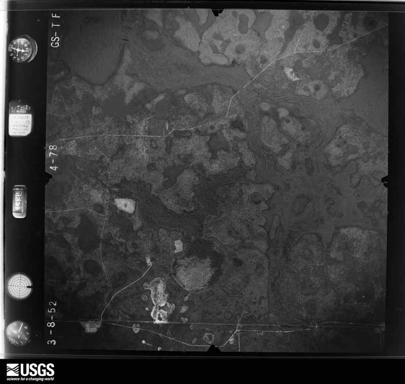
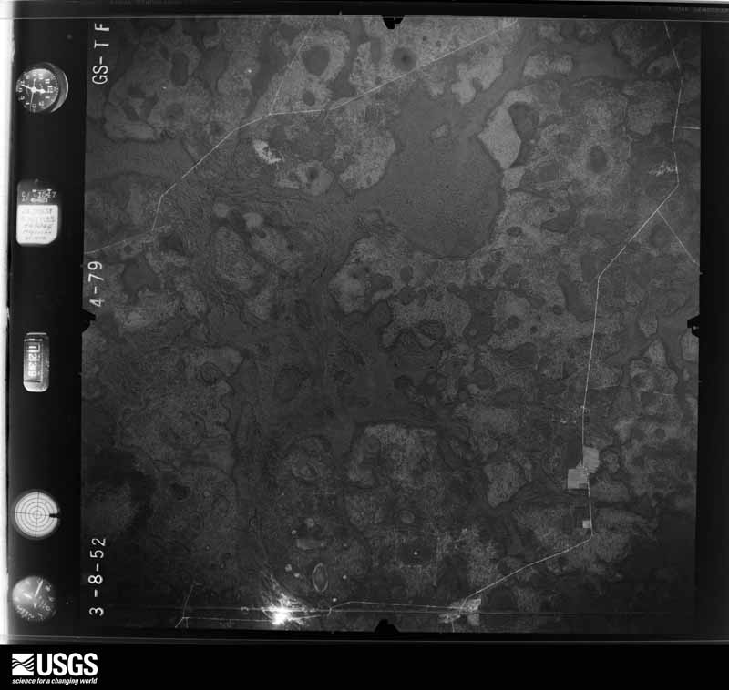
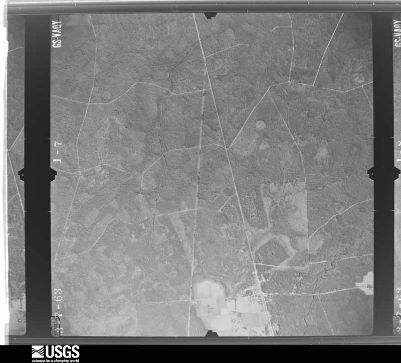
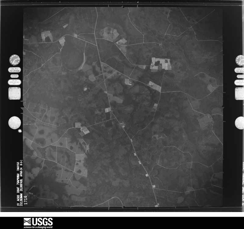
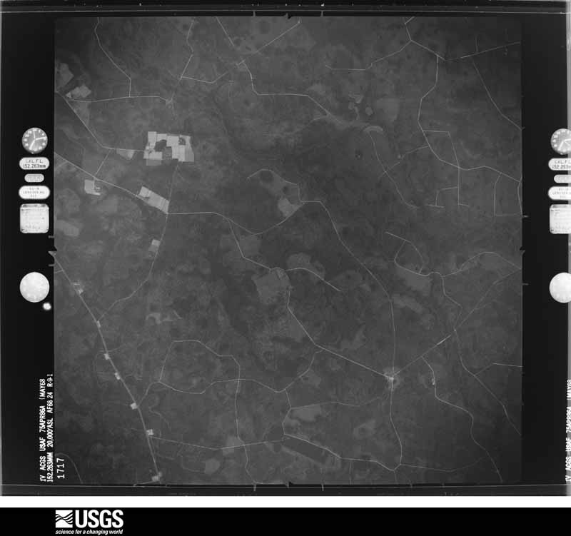
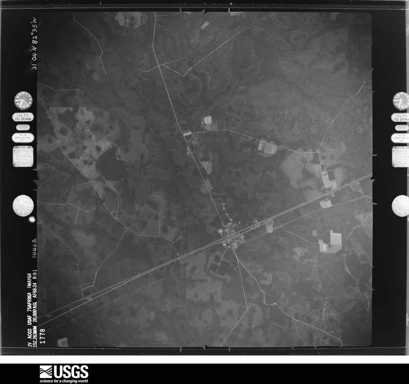
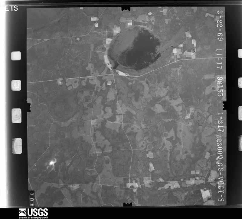
The thermometers that kept this county's weather, and the gages that measured the flow of its streams, as the federal records hold them. The extremes below are measured values from those records, not estimates.
Who lived here in 1950, one enumeration district at a time, as the Census Bureau described each district. Each row opens its official National Archives result, with Population Schedules and ED Maps available there.
Every wildfire the federal occurrence database records inside this county: 1,236 of them, burning about 41,985 acres. 393 started naturally and 142 were recorded as arson. Each settlement page carries the fires within five miles of it.
| Reported cause | Fires |
|---|---|
| Debris and open burning | 506 |
| Natural | 393 |
| Arson/incendiarism | 142 |
| Equipment and vehicle use | 73 |
| Missing data/not specified/undetermined | 54 |
| Railroad operations and maintenance | 26 |
| Misuse of fire by a minor | 21 |
| Recreation and ceremony | 15 |
| Smoking | 6 |
The five largest, by the area the report gives. Two of them were set deliberately.
| Date | Cause | Size | Reported by | Name on the report |
|---|---|---|---|---|
| 18 March 2011 | Arson/incendiarism | 12,485 acres | Georgia Forestry Commission | FY2011-CLINCH-045 |
| 15 June 2011 | Natural | 3,703 acres | Georgia Forestry Commission | FY2011-CLINCH-058 |
| 19 May 2001 | Missing data/not specified/undetermined | 2,800 acres | Georgia Forestry Commission | ARABIA BAY |
| 9 November 2010 | Arson/incendiarism | 2,710 acres | Georgia Forestry Commission | FY2011-CLINCH-017 |
| 12 May 2001 | Natural | 2,681 acres | Georgia Forestry Commission | FY2001-CLINCH-044 |
| 17 April 2007 | Natural | 2,485 acres | Okefenokee National Wildlife Refuge | GA-14 (NORTH FARGO) |
| 4 March 2000 | Debris and open burning | 2,200 acres | Okefenokee National Wildlife Refuge | GA-3 |
| 5 May 2007 | Natural | 1,467 acres | Georgia Forestry Commission | BUGABOO SCRUB 2 |
Every settlement page carries the fires within five miles of it - see the settlement index below.
The NOAA Storm Events Database holds 247 reports for this county, causing no deaths, no injuries and about $1,024,550 in recorded property damage. Each settlement page carries the reports that name it.
| Kind of event | Reports |
|---|---|
| Thunderstorm Wind | 159 |
| Hail | 49 |
| Heavy Rain | 14 |
| Tornado | 9 |
| Funnel Cloud | 9 |
| Lightning | 4 |
| Flood | 2 |
| Flash Flood | 1 |
The most serious of them, by death, then injury, then recorded damage. The accounts are quoted exactly as the forecast office filed them.
| When | Event | Place named | Harm | What the report says |
|---|---|---|---|---|
| April 2022 | Thunderstorm Wind | Argyle | $500,000 | A homes porch awning collapsed near Argyle, GA around 7:30 PM EST. Time was approximated. Pictures of the damage were relayed via Facebook. |
| July 2018 | Lightning | Homerville Arpt | $150,000 | A home along the 1000 block of Holmes Chapel Road was destroyed by a lightning caused fire. The cost of damage was unknown, but it was estimated for inclusion of the event in Storm Data. |
| April 1997 | Tornado (F1) | Argyle | $150,000 | Tornado damaged 15 homes, destroyed 2. |
| January 1999 | Thunderstorm Wind | Homerville | $25,000 | Large tree fell on a home. |
| June 1998 | Thunderstorm Wind | Homerville | $25,000 | Mobile home destroyed. |
| December 2002 | Thunderstorm Wind | Homerville | $20,000 | Roof blown off of house at Hwy 441. Spotter reports of severe winds. |
| April 1998 | Thunderstorm Wind | Edith | $15,000 | Large trees were blown down. A vehicle and a building was damaged. |
| November 1995 | Thunderstorm Wind | Homerville | $15,000 | Trees and power lines blown down. Home on West Forest Avenue had roof damage. |
| August 2015 | Thunderstorm Wind | Evermay | $10,000 | Numerous trees and some structures were damaged due to thunderstorm winds from Fargo along Sarah Touchton Road toward the Forrest Ave/Highway 94 area and Park Ave. There were no injuries. The cost of damage was estimated. |
| December 2002 | Thunderstorm Wind | Homerville | $10,000 | Numerous large trees and power lines down along the Thelma Highway. |
| December 2002 | Thunderstorm Wind | Homerville | $10,000 | Multiple large trees down one on a house. |
| May 2023 | Flood | Homerville | $5,000 | Flood water entered a restaurant in Homerville. The water was ankle deep. The cost of damage was unknown, but it was estimated for inclusion in Storm Data. |
| January 2017 | Thunderstorm Wind | Travisville | $5,000 | A shelter was blown down on two vehicles along Leland Smith Road. The cost of damage was unknown but it was estimated for the event to be included in Storm Data. |
| January 2007 | Thunderstorm Wind | Fargo | $5,000 | Two trees down on power lines near the intersection of highway 441 and highway 94. |
| August 2007 | Lightning | Homerville Arpt | $5,000 | A lightning strike damaged 5 parked vehicles. The event was caught on a security camera. Damaged cost was estimated. |
| January 1999 | Thunderstorm Wind | Homerville | $4,500 | One home with minor damage. Large trees and power lines were blown down. |
| November 1995 | Thunderstorm Wind | Homerville | $4,000 | Several large trees were uprooted or blown down. |
| June 2001 | Thunderstorm Wind | Homerville | $3,500 | Large trees and power lines were blown down. |
| January 1999 | Thunderstorm Wind | Dupont | $3,500 | Large trees and power lines were blown down. |
| June 2008 | Thunderstorm Wind | Fargo | $3,000 | A resident measured a wind gust to 70 mph off of the Fargo Highway. He had widespread straight line wind damage with several trees uprooted across his property. The report was relayed by the Suwanee River Cafe. The cost of damage was estimated. |
| March 2001 | Thunderstorm Wind | Homerville | $2,500 | Large trees and power lines were blown down. |
| June 2001 | Thunderstorm Wind | Homerville | $2,500 | Large trees and power lines were blown down. |
| June 2001 | Thunderstorm Wind | Fargo | $2,500 | Large trees and power lines were blown down. |
| February 2000 | Thunderstorm Wind | Homerville | $2,500 | Large trees and power lines were blown down. |
| January 2000 | Thunderstorm Wind | Homerville | $2,500 | Large trees and power lines were blown down. |
| May 1998 | Thunderstorm Wind | Fargo | $2,500 | Large trees were blown down. |
| April 1998 | Thunderstorm Wind | Fargo | $2,500 | Large trees and power lines were blown down. |
| September 1998 | Thunderstorm Wind | Homerville | $2,500 | Large trees and power lines were blown down. |
| February 1998 | Thunderstorm Wind | Homerville | $2,500 | Large tress and power lines were blown down. |
| March 1998 | Thunderstorm Wind | Homerville | $2,500 | Large trees and power lines were blown down. |
| August 2022 | Thunderstorm Wind | Cutting | $2,000 | Trees were blown down along State Road 221 with a couple of transformers damaged in the surrounding area. The time of damage was based on radar. The cost of damage was unknown but it was estimated for storm data. |
| July 2016 | Thunderstorm Wind | Dupont | $2,000 | A large tree was blown down onto a home off of Nelson Street. The time of damage was based on radar and the cost of damage was estimated. |
| February 2003 | Thunderstorm Wind | Dupont | $2,000 | Large tree limbs and power lines down. |
| April 2000 | Thunderstorm Wind | Homerville | $2,000 | Large trees and power lines were blown down. |
| October 2000 | Thunderstorm Wind | Fargo | $2,000 | Large trees were blown down. |
| August 1999 | Thunderstorm Wind | Homerville | $2,000 | Large trees and power lines were blown down. |
| June 1998 | Thunderstorm Wind | Homerville | $2,000 | Large trees and power lines were blown down. |
| April 1998 | Thunderstorm Wind | Fargo | $2,000 | Large trees and power lines were blown down. |
| November 1999 | Thunderstorm Wind | Dupont | $1,500 | Large trees were blown down. |
| June 2023 | Thunderstorm Wind | Dupont | $1,000 | A couple of trees and power lines were blown down near the cross section of Nichols Street and Pine Street. The cost of damage was unknown, but it was estimated for inclusion of the event in Storm Data. |
| August 2015 | Thunderstorm Wind | Edith | $1,000 | A tree and power line was blown were blown down on Swamp Road. The time was estimated by radar. The cost of damage was estimated. |
| May 2012 | Lightning | Homerville | $1,000 | Lightning struck a transformer in Homerville. The cost of damage was estimated. |
| January 2006 | Thunderstorm Wind | Cogdell | $1,000 | Two (2) trees downed onto power lines. |
| March 2001 | Thunderstorm Wind | Fargo | $1,000 | Large trees and power lines were blown down. |
| April 1998 | Thunderstorm Wind | Fargo | $1,000 | Large trees were blown down along Highway 94. |
| June 1998 | Thunderstorm Wind | Homerville | $1,000 | Large trees and power lines were blown down. |
| July 1998 | Thunderstorm Wind | Homerville | $1,000 | Large trees and power lines were blown down. |
| June 1998 | Thunderstorm Wind | Homerville | $1,000 | Large trees and power lines were blown down. |
| May 1997 | Thunderstorm Wind | Homerville | $600 | Several large trees were blown down. |
| August 2023 | Thunderstorm Wind | Homerville Arpt | $500 | A tree limb was blown down onto a powerline near the intersection of Pearson Highway and North Gate Road. The time of damage was based on radar. The cost of damage was estimated. |
| August 2015 | Thunderstorm Wind | New Sirmans | $500 | Trees were blown down near the Clinch and Lanier countyline. The cost of damage was estimated. |
| November 2011 | Thunderstorm Wind | Homerville Arpt | $500 | A tree was blown down onto a power line along Highway 441 North near Homerville. The time of the event was based on radar imagery. The cost of damage repair was estimated. |
| June 1999 | Thunderstorm Wind | Homerville | $500 | Large trees and power lines were blown down. |
| June 1998 | Thunderstorm Wind | Homerville | $500 | Large trees were blown down. |
| May 1997 | Thunderstorm Wind | Homerville | $500 | Large tree and power lines were blown down. |
| May 1997 | Thunderstorm Wind | Homerville | $500 | Large trees blocked US-441. |
| May 2022 | Thunderstorm Wind | Midway | $200 | A tree was blown down near Shiloh Road at the intersection of Highway 441. The time of damage was based on radar. The cost of damage was unknown, but it was estimated for Storm Data. |
| May 2022 | Thunderstorm Wind | Midway | $200 | A tree was blown down across Shiloh Road about 3 miles east of Highway 441. The time of damage was based on radar. The cost of damage was unknown but it was estimated for inclusion in Storm Data. |
| March 1997 | Thunderstorm Wind | Homerville | $50 | no account filed |
| May 2025 | Funnel Cloud | Dupont | - | A funnel cloud was reported in Du Pont by Williams Street. |
The part of each published history that is about one town: 1 chapter, each reproduced complete.
| Town | Chapter | From | Length |
|---|---|---|---|
| Argyle | History | History of Clinch County, Georgia, Revised to Date, Giving the Early History of the County Down to the Present Time (1916): Also Complete Lists of County Officers, Together with Minor Officers and Also Sketches of County Officers' Lives; with Chapters on the Histories of Old Families of Clinch County; Also Other Information As Is Historical in Its Nature, Comp. and Ed. by Folks Huxford (1916) | 1,996 words |
One book written about this county, cut here where the book itself is cut, at its printed chapters: 14 chapters in all. Every chapter is public domain, machine-read from the scan and reproduced complete. A chapter already given under one of the county's towns is not repeated in this list.
| Chapter | Length |
|---|---|
| Chapter 1 | 3,240 words |
| Chapter 2 | 3,055 words |
| Chapter 3 | 3,880 words |
| Chapter 4 | 4,067 words |
| Chapter 5 | 2,944 words |
| Chapter 6 | 4,062 words |
| Chapter 7 | 4,426 words |
| Chapter 8 | 1,170 words |
| Chapter 9 | 5,749 words |
| Chapter 10 | 3,929 words |
| Chapter 11 | 9,690 words |
| Chapter 12 | 436 words |
| Chapter 14 | 28,657 words in 2 parts |
| The Lastinger Family | 567 words |
Named settlements recorded in the Geographic Names Information System, each with the topographic sheets covering it. Villages, hamlets and abandoned places alike. Each is shown with the nearest named watercourse or landform and the survey quadrangle it falls on.
Homerville census division · 31623 · On Polly Branch · Homerville East quadrangle
9 sheets, 1953 to 1988
Homerville census division · 31634 · Homerville West quadrangle
8 sheets, 1953 to 1988