 Block
From the record
9 National Register listings published here.
Sources: the National Register database, National Park Service
25 topographic sheets and 9 fire insurance atlases across 2 places.
9 National Register listings published here.
Sources: the National Register database, National Park Service
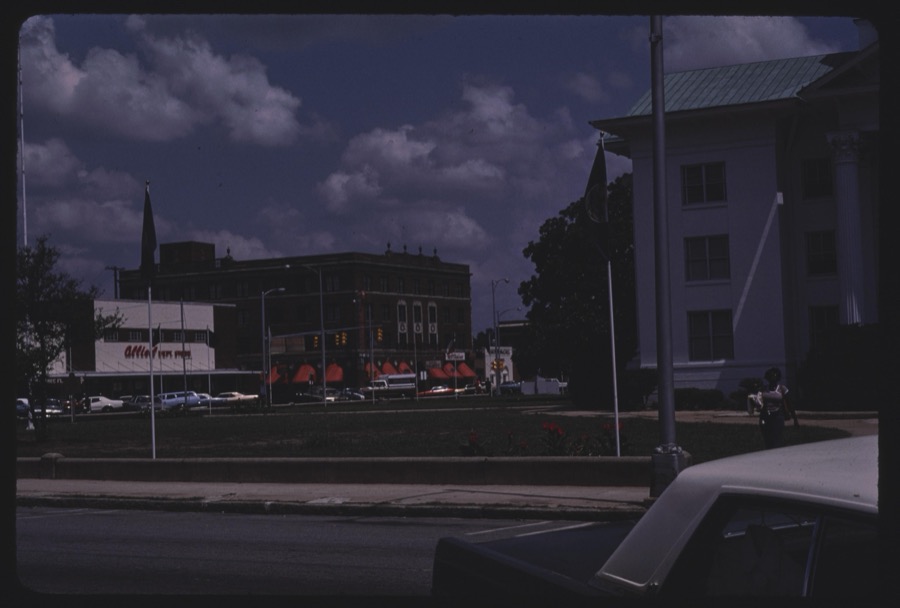
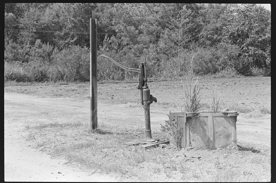
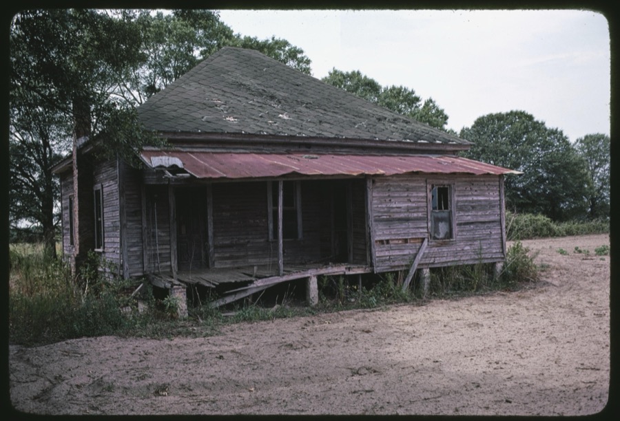
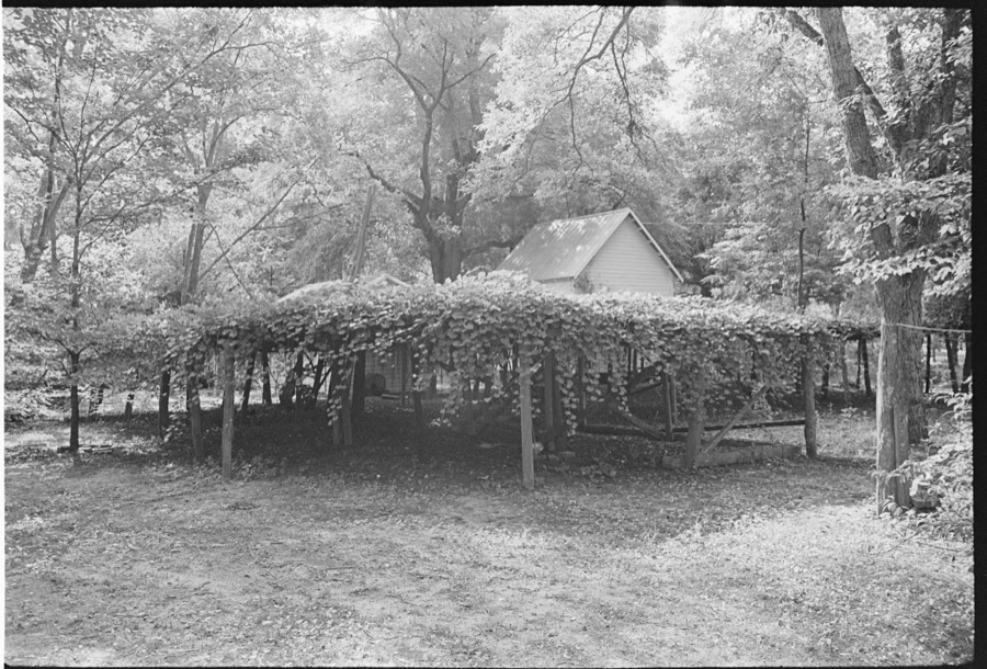
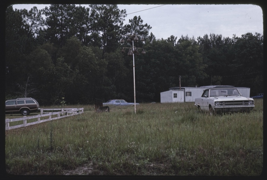
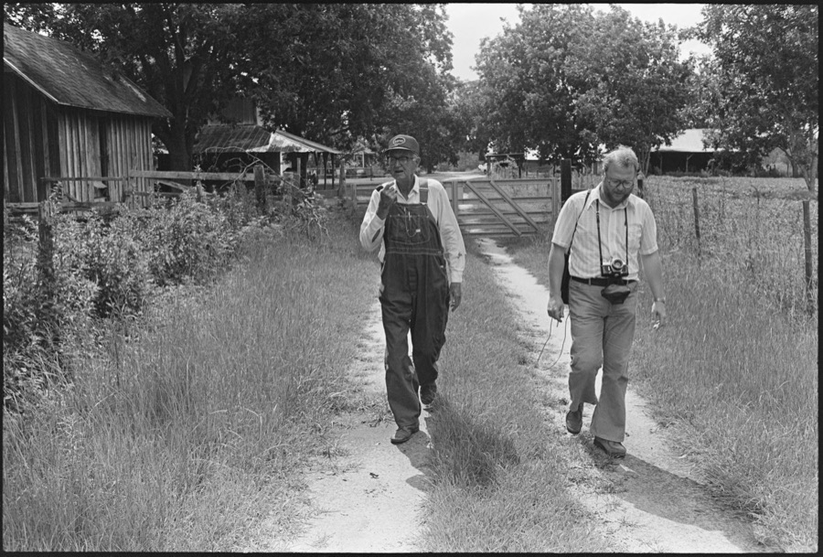
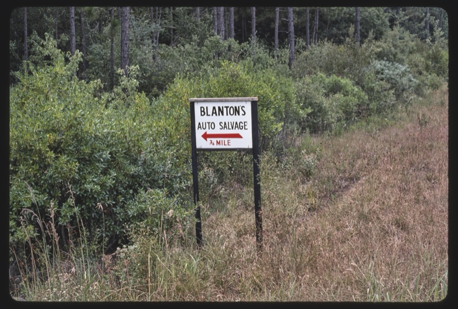
Taken for the Office of War Information and the Farm Security Administration, who photographed the country between 1935 and 1944. Works of United States government photographers, with no known restriction on use. Each opens its catalogue record.
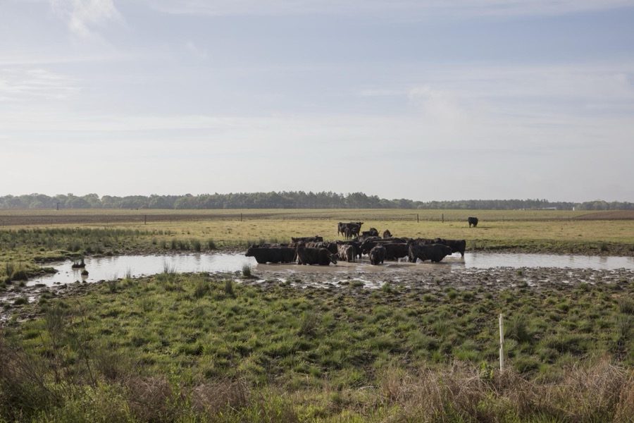

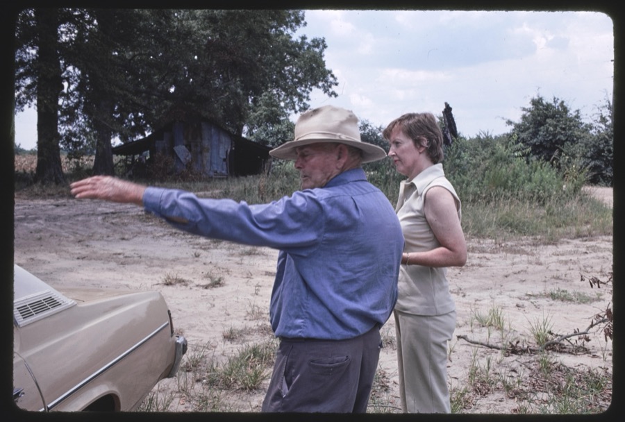
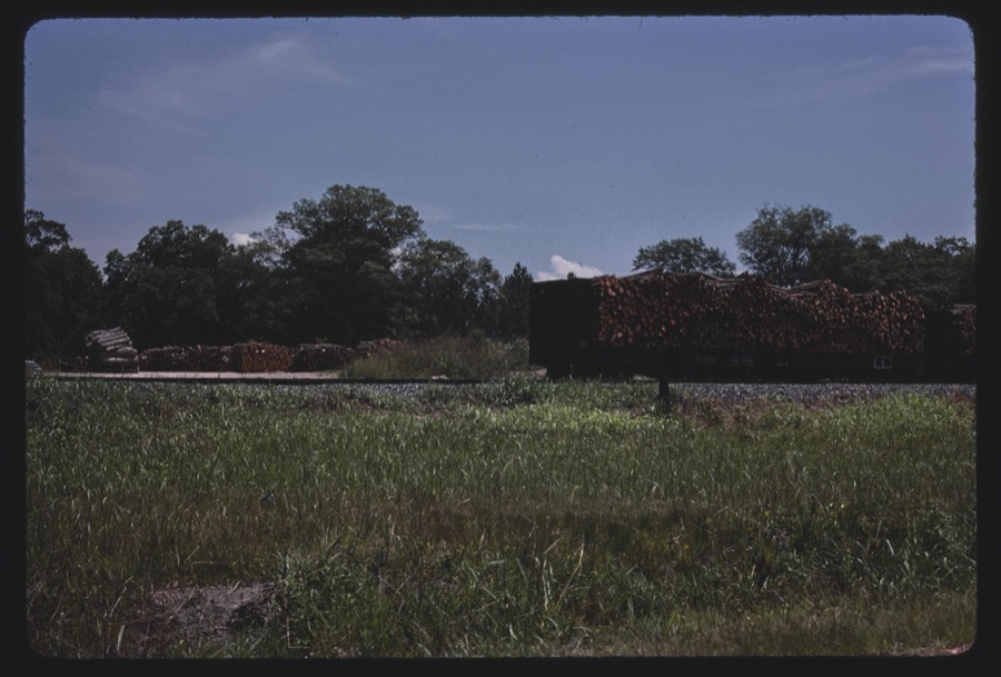
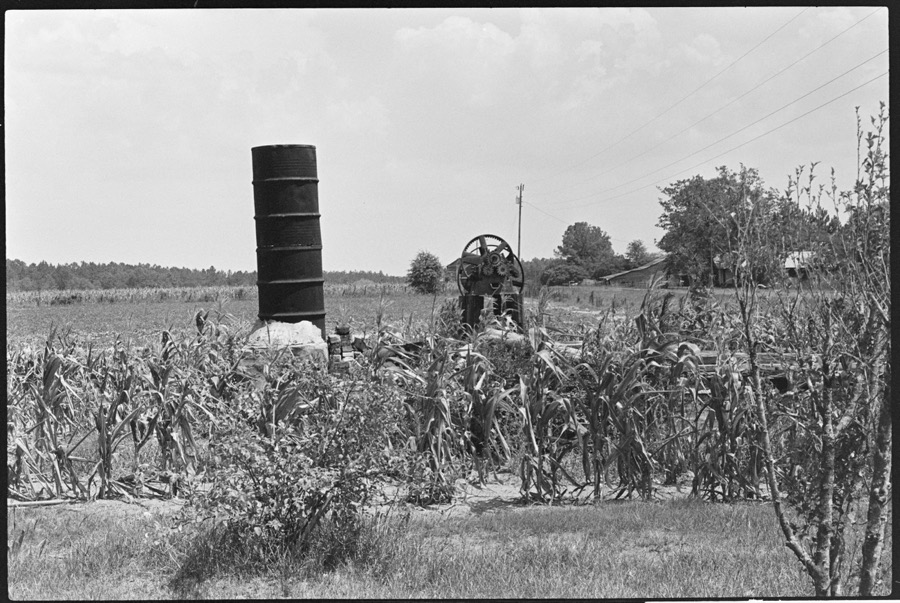

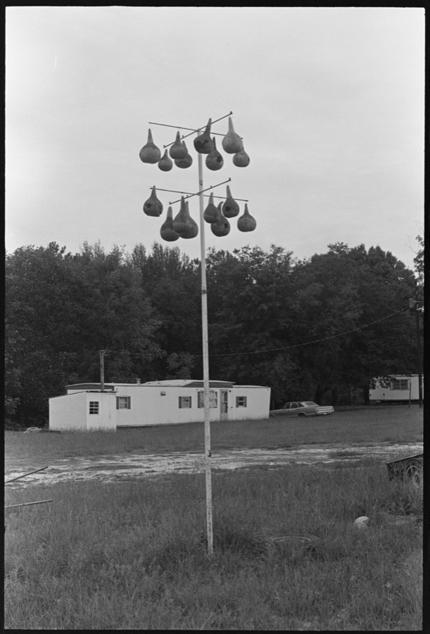
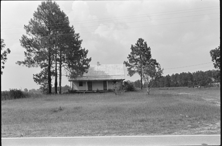

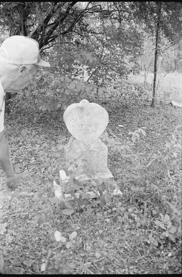
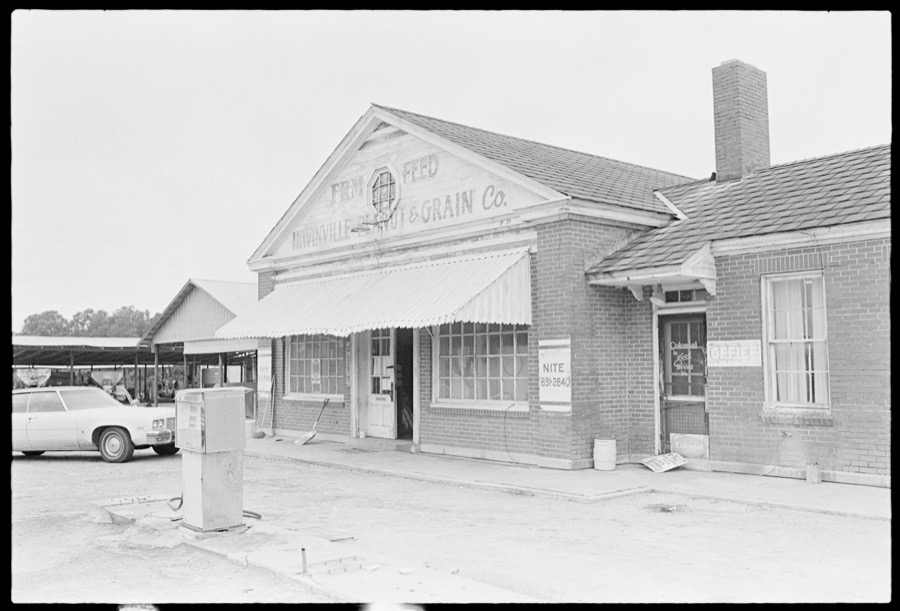

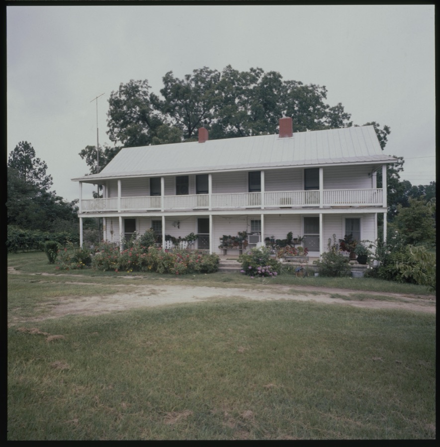
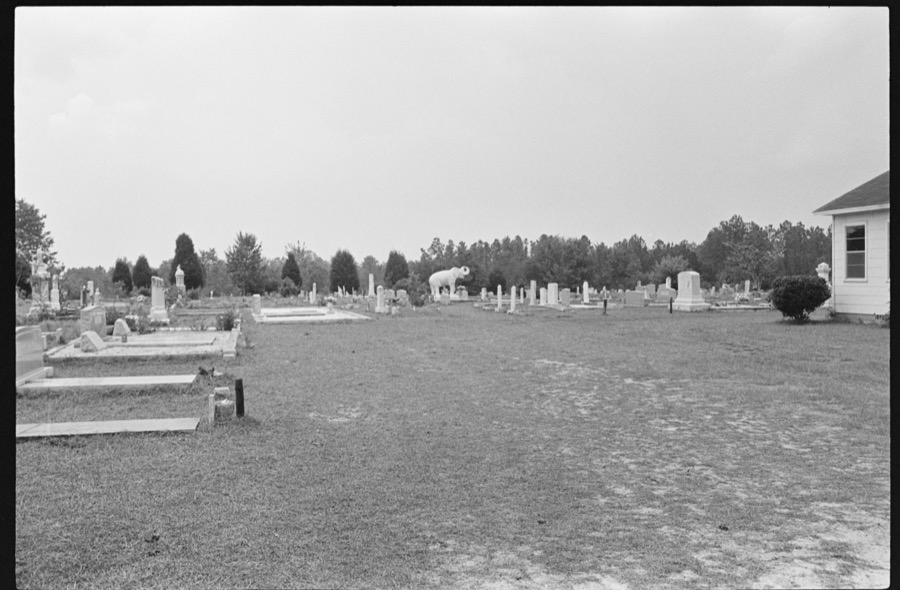
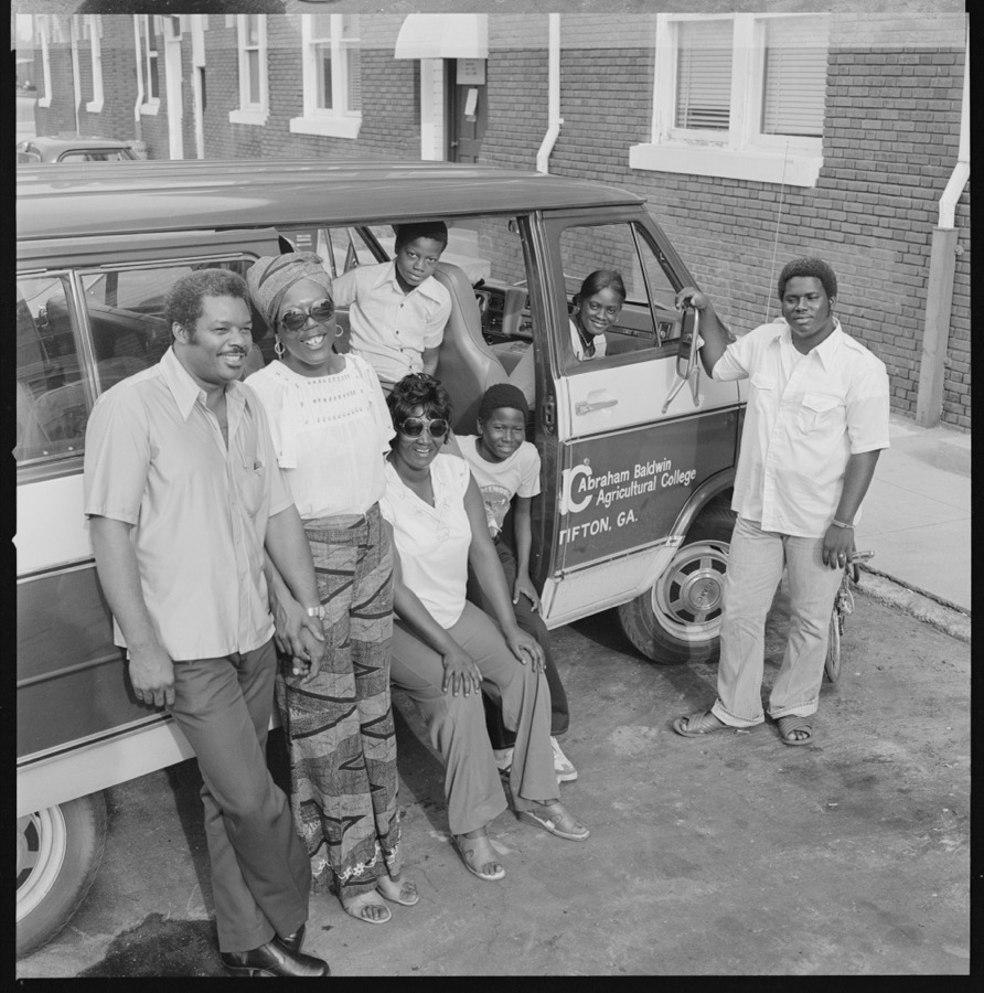
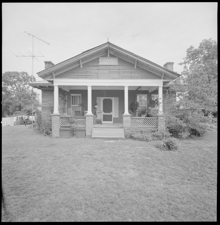
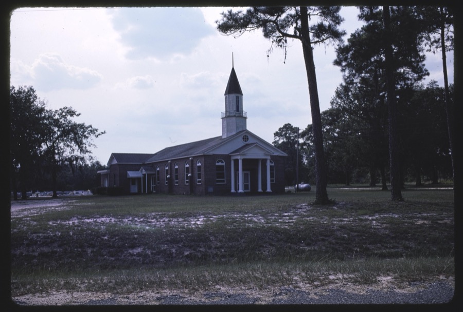
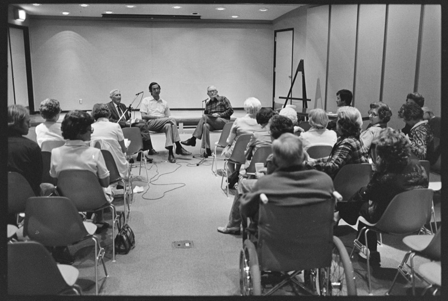
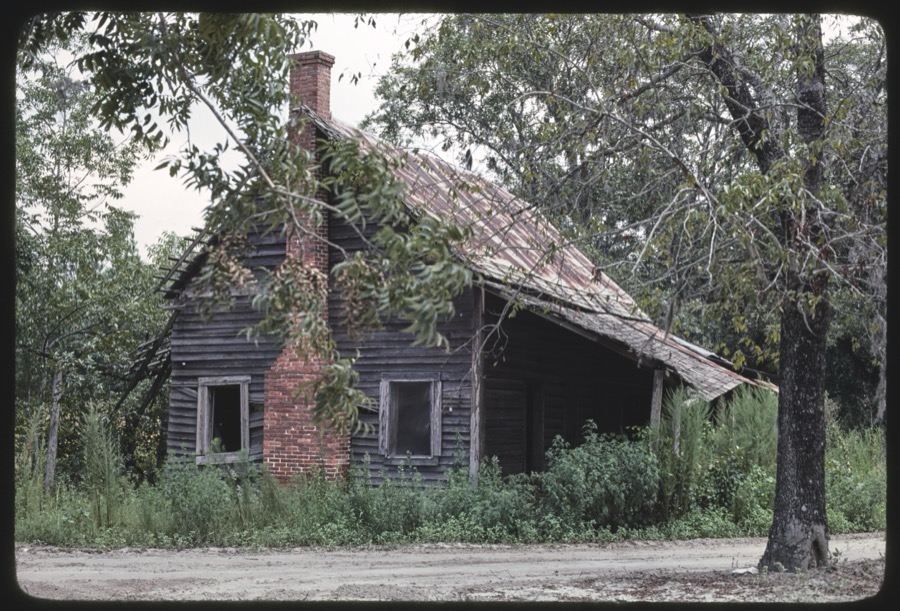
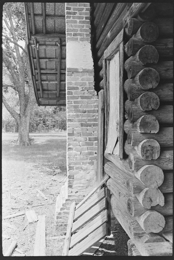


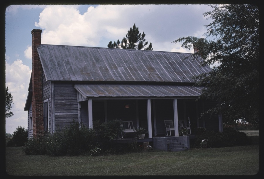
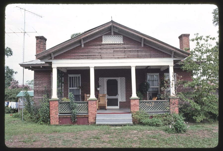
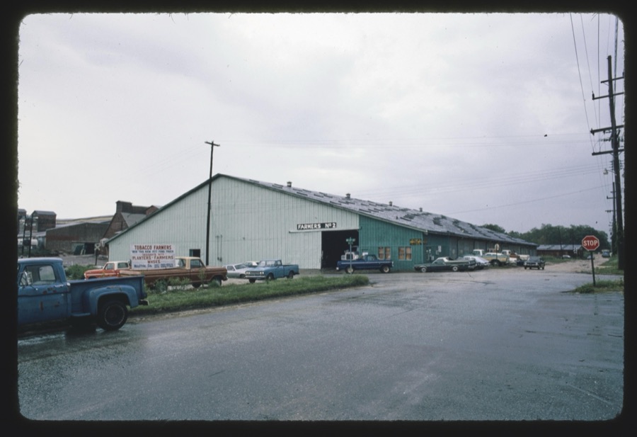

Every property in this county listed on the National Register of Historic Places, with the year it was listed and the federal nomination document.
| Photograph | Property | Type | Listed | Reference |
|---|---|---|---|---|
| W. W. Ashburn House | building | 1982 | 82002396 | |
 | Carnegie Library of Moultrie | building | 1982 | 82002397 |
 | James W. Coleman House | building | 1983 | 83003555 |
 | Colquitt County Courthouse | building | 1980 | 80001003 |
 | Colquitt County Jail | building | 1980 | 80001004 |
 | Mother Easter Baptist Church and Parsonage | building | 1999 | 99000413 |
 | Moultrie Commercial Historic District | district | 1994 | 94000543 |
 | Moultrie High School | building | 1982 | 82002398 |
| Henry Crawford Tucker Log House and Farmstead | site | 1982 | 82002399 |
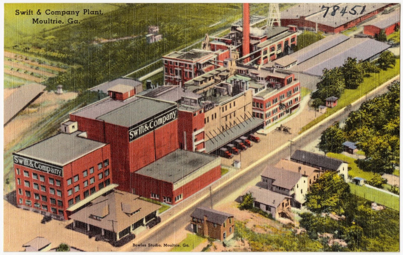
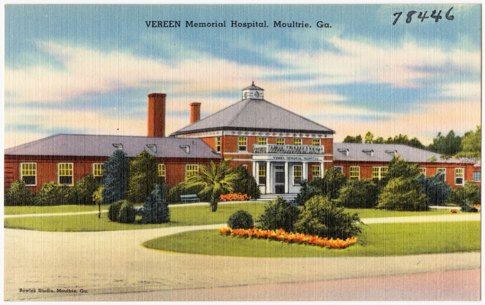
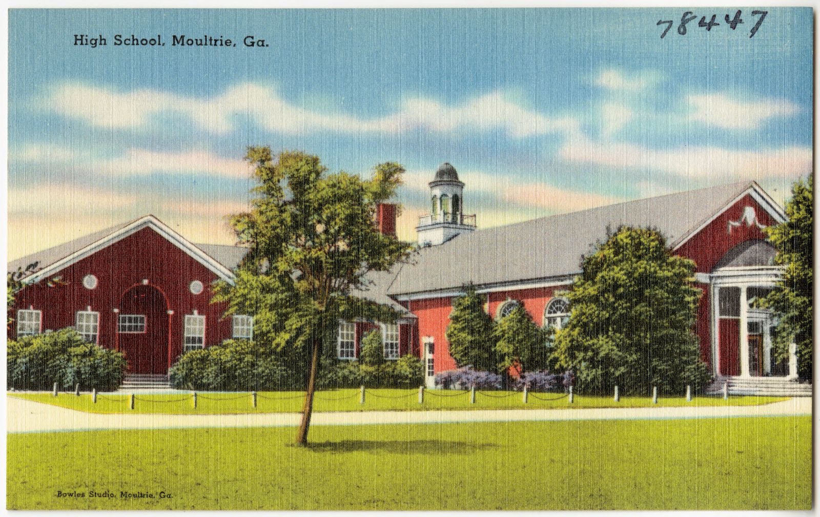
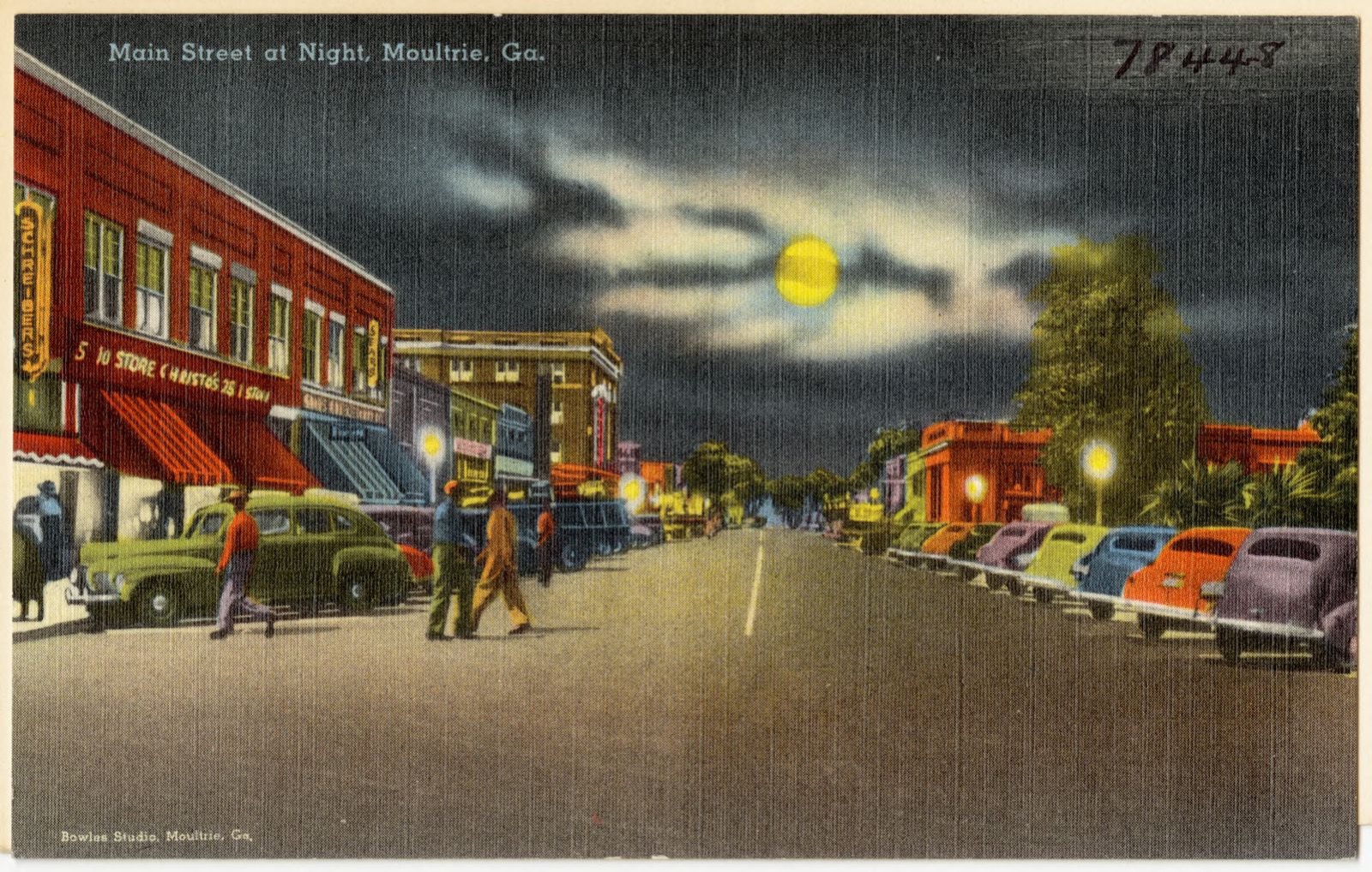
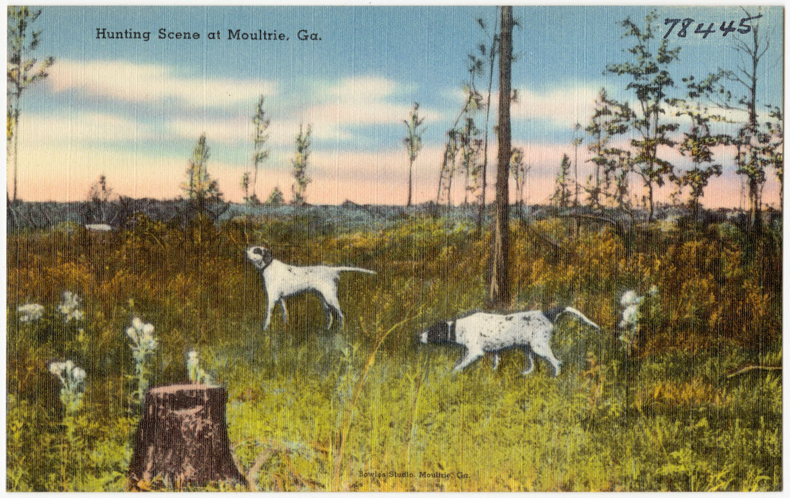
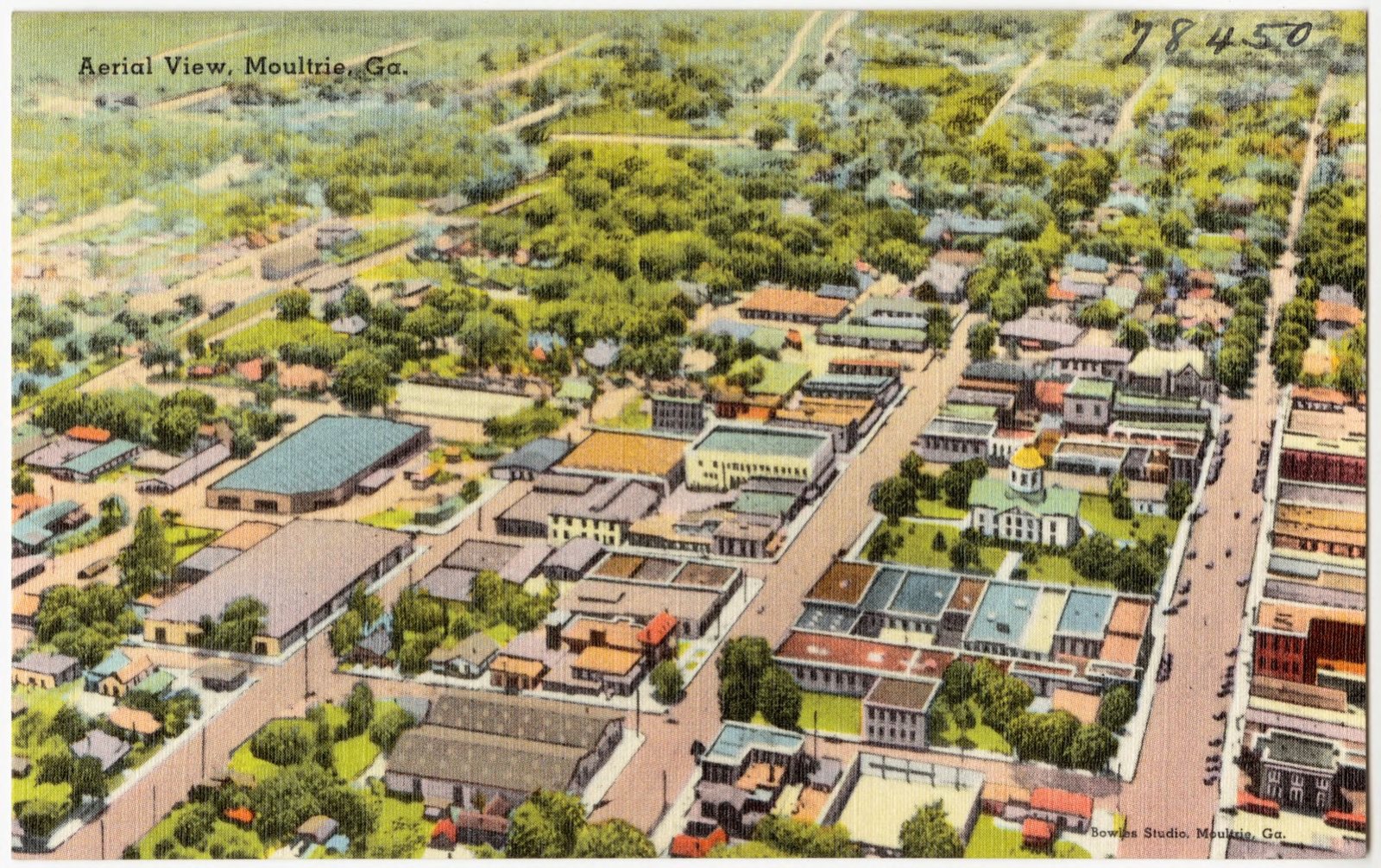
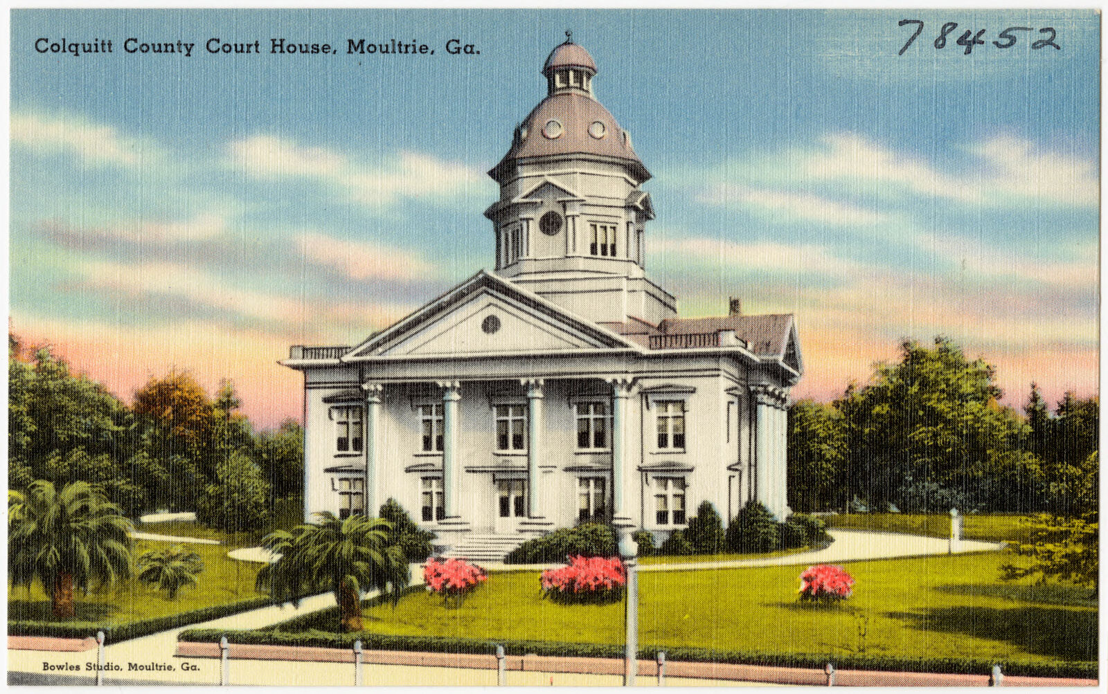
Selected from the Digital Public Library of America's 9 image records catalogued for this county. Every one shown here carries a public-domain status or a licence that permits reuse on a site that carries advertising; non-commercial, share-alike and restricted images are excluded. The selection is spread across the county's towns (at most eight per town), so no single institution's bulk upload crowds out the rest. Each opens the holding library's record, and the complete set at the Digital Public Library of America is one click away.

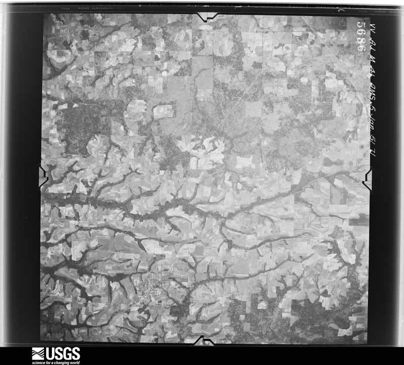
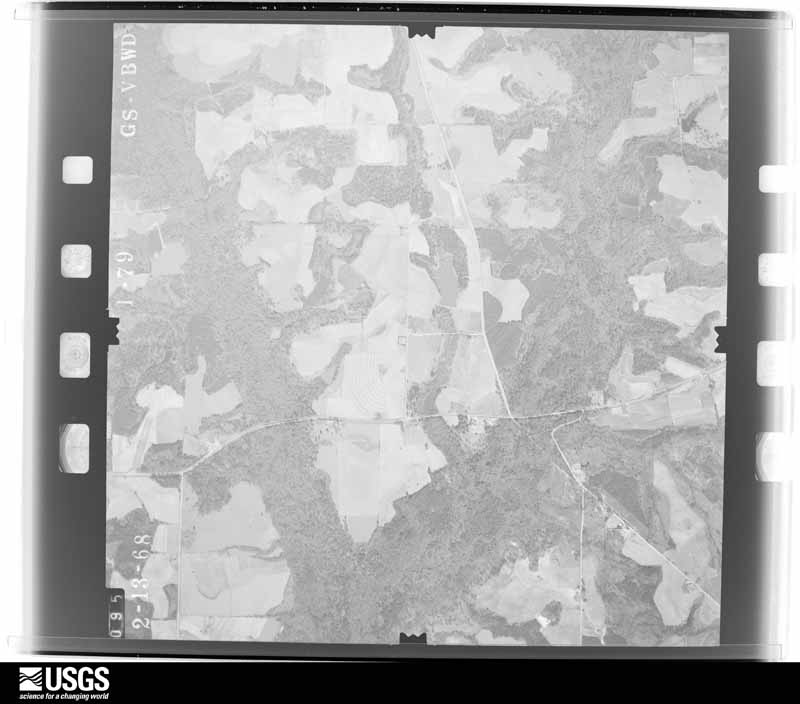
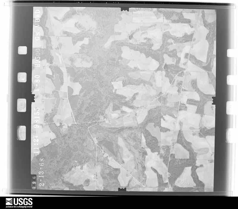
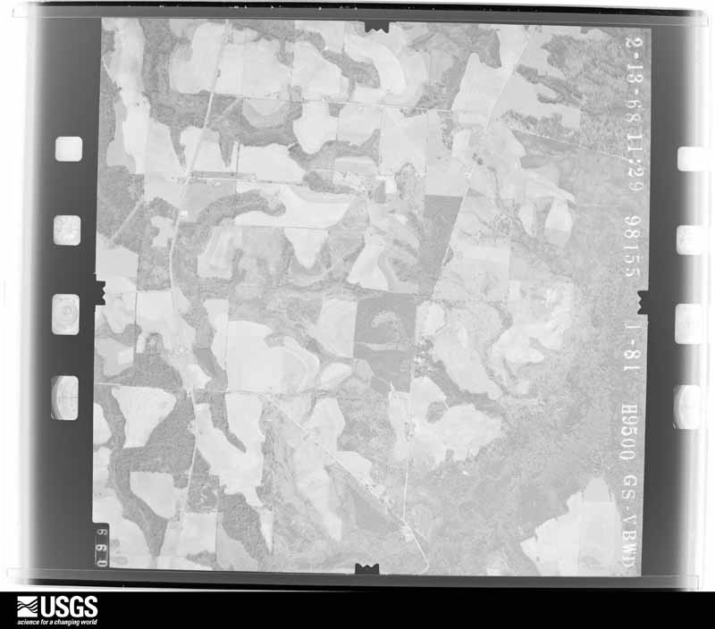
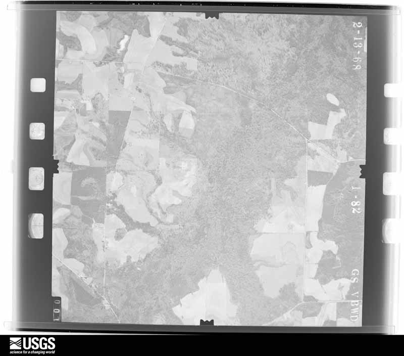
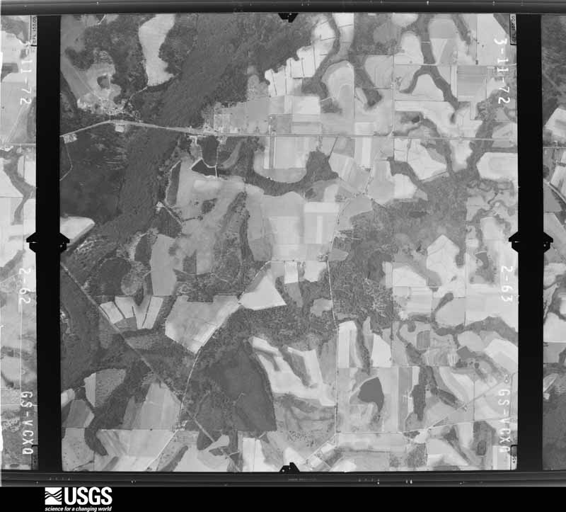
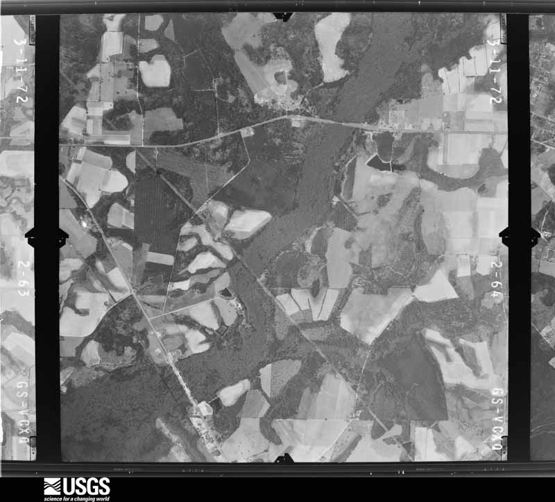
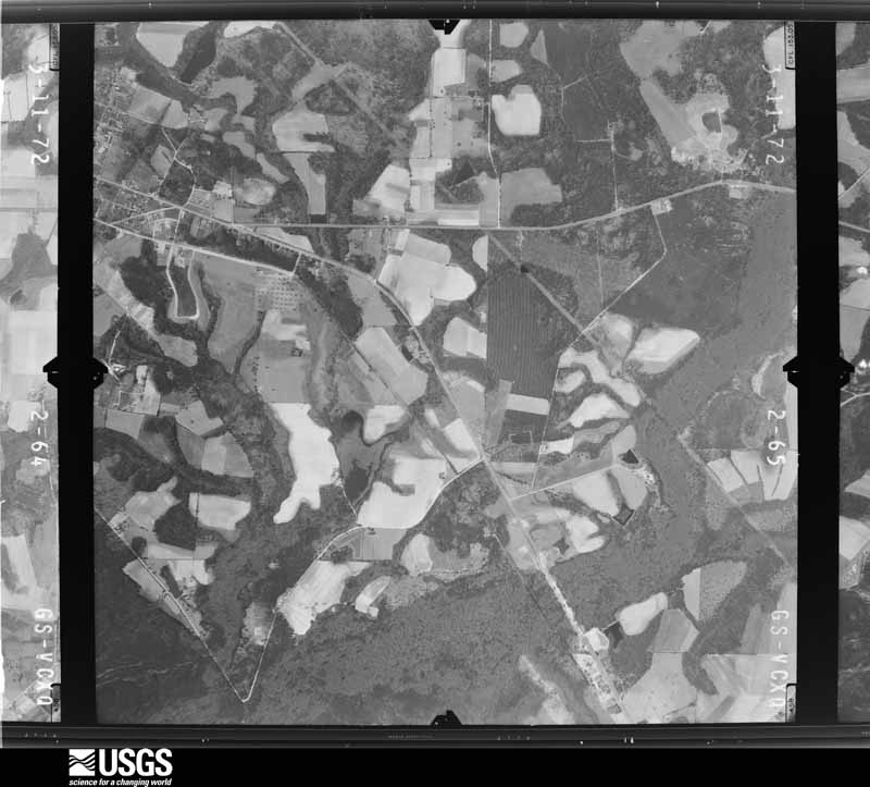
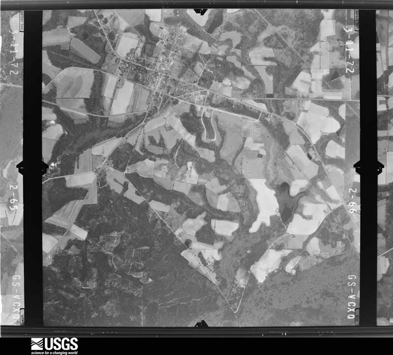
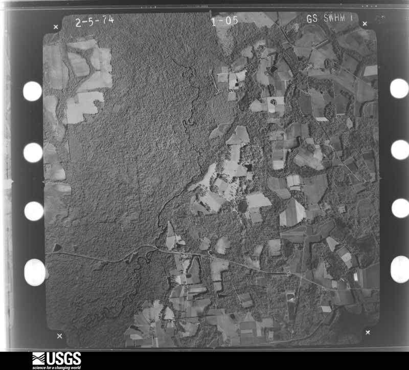
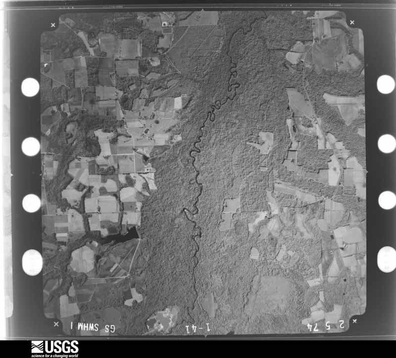
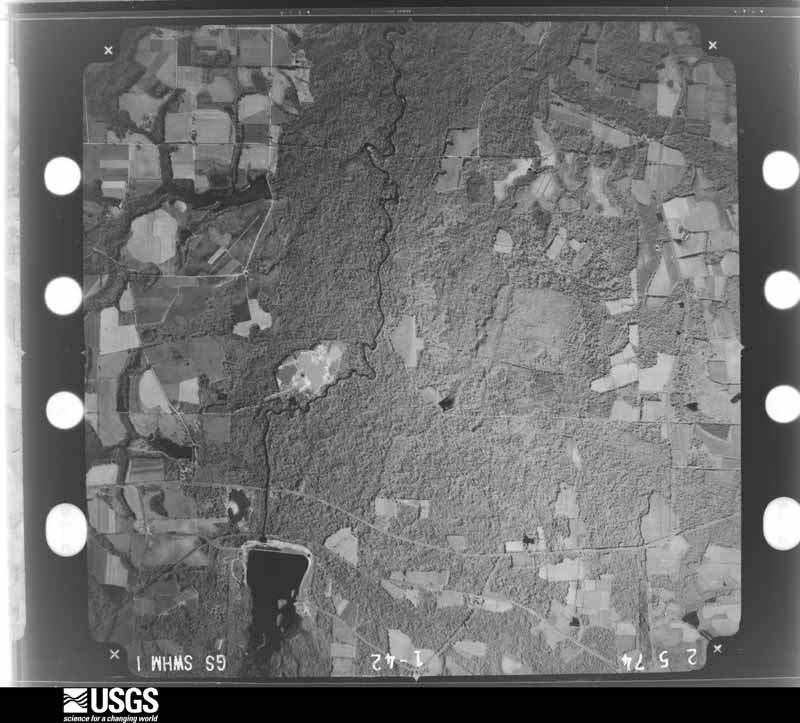
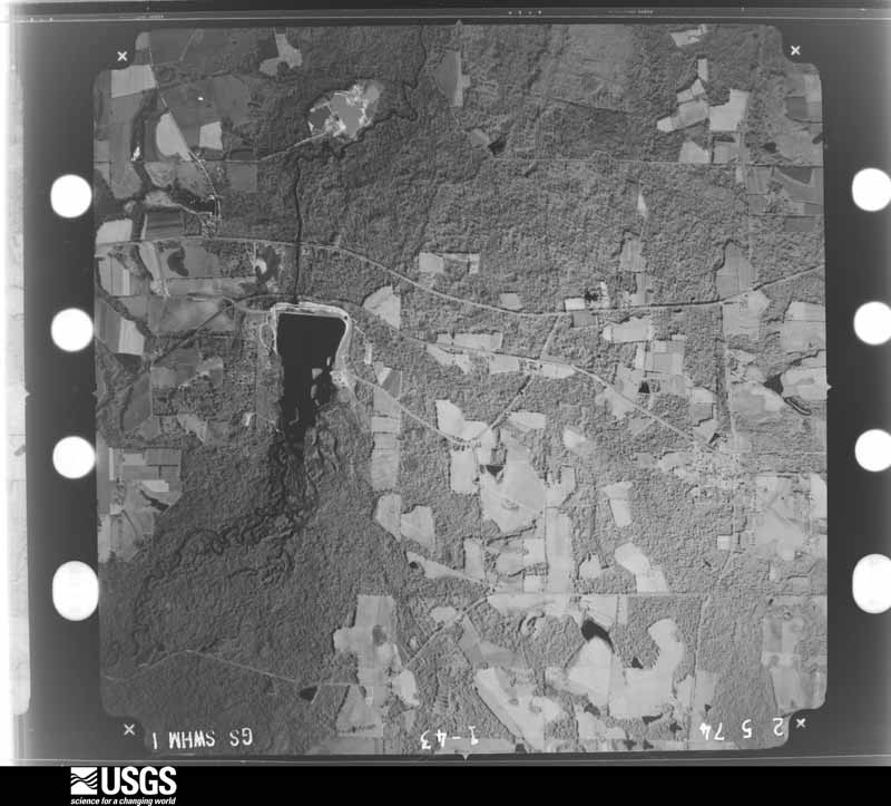
Flown by the U.S. Geological Survey between 1937 and 1989, the Aerial Photo Single Frames collection is the definitive mid-century view of the land: fields, roads and rivers as the camera saw them. The Survey holds 399 frames inside the rectangle that bounds this county; the 16 frames below were taken over the county itself, chosen across the decades of flights (at most four a year from that rectangle), so one flight cannot crowd out the rest. The full set is free to browse and download at EarthExplorer under the dataset Aerial Photo Single Frames.



The thermometers that kept this county's weather, as the federal records hold them. The extremes below are measured values from those records, not estimates.
Who lived here in 1950, one enumeration district at a time, as the Census Bureau described each district. Each row opens its official National Archives result, with Population Schedules and ED Maps available there.
Every wildfire the federal occurrence database records inside this county: 1,697 of them, burning about 6,155 acres. 41 started naturally and 179 were recorded as arson. Each settlement page carries the fires within five miles of it.
| Reported cause | Fires |
|---|---|
| Debris and open burning | 1170 |
| Arson/incendiarism | 179 |
| Missing data/not specified/undetermined | 92 |
| Equipment and vehicle use | 82 |
| Misuse of fire by a minor | 50 |
| Natural | 41 |
| Smoking | 34 |
| Recreation and ceremony | 31 |
| Railroad operations and maintenance | 18 |
The five largest, by the area the report gives. Five of them were set deliberately.
| Date | Cause | Size | Reported by | Name on the report |
|---|---|---|---|---|
| 20 March 2006 | Arson/incendiarism | 290 acres | Georgia Forestry Commission | not named |
| 24 March 2009 | Missing data/not specified/undetermined | 264 acres | Georgia Forestry Commission | not named |
| 24 January 2011 | Arson/incendiarism | 141 acres | Georgia Forestry Commission | FY2011-COLQUITT-047 |
| 10 April 1996 | Debris and open burning | 117 acres | Georgia Forestry Commission | not named |
| 19 January 2002 | Arson/incendiarism | 100 acres | Georgia Forestry Commission | FY2002-COLQUITT-021 |
| 18 February 2002 | Missing data/not specified/undetermined | 71 acres | Georgia Forestry Commission | FY2002-COLQUITT-038 |
| 17 January 2012 | Arson/incendiarism | 68 acres | Georgia Forestry Commission | FY2012-COLQUITT-043 |
| 16 February 2002 | Arson/incendiarism | 57 acres | Georgia Forestry Commission | FY2002-COLQUITT-032 |
Every settlement page carries the fires within five miles of it - see the settlement index below.
The NOAA Storm Events Database holds 350 reports for this county, causing 5 deaths, 36 injuries and about $11,272,330 in recorded property damage. Each settlement page carries the reports that name it.
| Kind of event | Reports |
|---|---|
| Thunderstorm Wind | 220 |
| Hail | 59 |
| Tornado | 38 |
| Flash Flood | 14 |
| Funnel Cloud | 7 |
| Lightning | 5 |
| Heavy Rain | 4 |
| Flood | 2 |
| Winter Storm | 1 |
The most serious of them, by death, then injury, then recorded damage. The accounts are quoted exactly as the forecast office filed them.
| When | Event | Place named | Harm | What the report says |
|---|---|---|---|---|
| October 1989 | Tornado (F2) | not stated | 2 killed, 12 hurt, $2,500,000 | no account filed |
| July 2020 | Lightning | South Moultrie | 1 killed, 1 hurt | A 9-year-old girl was killed by a lightning strike in Moultrie while walking on a trail on South Main Street with her mother and 15 year old sister. The sister was injured. The family took cover under a shelter when lightning struck a nearby tree. |
| February 2000 | Tornado (F2) | Crosland | 1 killed, $500,000 | A strong tornado tore through extreme northeast Colquitt County near Crosland toppling trees and power lines before it moved into extreme southwest Tift County. Several mobile homes were damaged. One woman was killed in a mobile home just northeast of Crosland when a large tree and another mobile home were blown against her home. Colquitt County was declared a federal disaster area. Reported by a amateur radio operator and the Colquitt County EMA. |
| March 2002 | Thunderstorm Wind | Moultrie | 1 killed, $10,000 | An elderly man was killed when a pine tree snapped and fell on the cab of his truck while driving during a severe thunderstorm. Reported by the Courier Herald. |
| January 1952 | Tornado (F2) | not stated | 8 hurt, $250,000 | no account filed |
| July 1984 | Thunderstorm Wind | not stated | 5 hurt | no account filed |
| December 1983 | Tornado (F1) | not stated | 3 hurt, $30 | no account filed |
| December 1983 | Thunderstorm Wind | not stated | 3 hurt | no account filed |
| April 1984 | Tornado (F1) | not stated | 2 hurt, $250,000 | no account filed |
| January 2006 | Tornado (F1) | Norman Park | 1 hurt, $2,000,000 | A tornado touched down along Perry Batts Road near Norman Park and traveled northeast. It destroyed two chicken houses at the International Poultry Breeders, killing 5,000 chickens and condemning another 15,000. The tornado sideswiped a restaurant, but snapped off several large pines around the building. One tree fell through the roof. A small shelter on the property was destroyed. Over open fields, several metal sheds were damaged or destroyed, and irrigation pivots were overturned. Five homes were destroyed, eight received heavy damage, and seven sustained moderate damage. Many power poles were toppled. A man suffered scratches to his left arm after part of the ceiling of his mobile home collapsed on him. The tornado lifted over Lanyer Sumner Road near the Colquitt-Cook county line. Damage survey provided by a SKYWARN storm spotter. |
| September 1998 | Tornado (F1) | Autreyville | 1 hurt, $550,000 | An F1 tornado touched down at the intersection of GA 133 and South Morris Rd near Autreyville. One man was injured when his mobile home was blown into a ditch. Another mobile was destroyed. Several trees and power lines were toppled. The tornado destroyed one chicken farm and damaged another, and caused minor roof damage to a few houses. |
| July 2005 | Flash Flood | Countywide | $1,250,000 | Nearly five inches of rain in three hours flooded city streets, washed out county roads and damaged bridges. Flash flooding along the Okapilco Creek in Moultrie damaged several homes and forced the evacuation of 100 homes and businesses. Seven units of Woodland Heights in Moultrie were evacuated due to rising flood waters. Reported by the Colquitt County EMA. |
| December 2022 | Tornado (EF2) | Ticknor | $1,000,000 | A tornado touched down in a field southwest of Doerun in Colquitt County and began to progress north northeast. The first damage occurred just north of the intersection of Mt. Sinai Road and Culbreth Road, where it caused roof and tree damage to a mobile home consistent with a high end EF-1. After hitting the mobile home, the tornado moved near the intersection of West Highway 270 and Herman Simmons Road where it would snap and uproot many trees resulting in high end EF-1 damage. It would then uproot a couple large oak trees and cause roof damage to a single family home consistent with EF-1 damage. The tornado would then continue to cross West Highway 270 where it would cause significant damage to a cotton gin facility. This was the maximum damage along the path, consistent with EF-2 intensity with max winds estimated near 120 mph. The tornado would then weaken rapidly as it continued northeast, uprooting and snapping more pine trees before dissipating in a field before the intersection of Ticknor Road and North Highway 133. |
| August 1994 | Thunderstorm Wind | Moultrie | $500,000 | Lightning struck and caused extensive damage to an electric substation along Georgia Highway 33. Widespread power outages occurred throughout Colquitt County for 10 to 12 hours. |
| July 2000 | Lightning | Moultrie | $150,000 | Lightning struck and ignited the roof of a residence on Shade Murphy Road in Moultrie. The fire gutted the home. Reported by the Moultrie Observer. |
| March 2005 | Tornado (F1) | Hartsfield | $125,000 | The tornado, which crossed into Colquitt County from Mitchell County, caused minor damage to some homes along Highway 37. Several downed trees blocked the highway just east of the county line. Two chicken houses on Bryant Road sustained minor roof damage. The tornado weakened as it crossed County Road 202, toppling trees and utility pole, and dissipated near Moss Lake. The storm survey was conducted by a SKYWARN storm spotter. |
| December 2021 | Tornado (EF1) | Spence Field | $100,000 | The tornado touched down December 30 off of Culbertson Road, west of Hopewell Church Road and initially uprooted and snapped multiple trees. The tornado continued to track northeast and resulted in roof and siding damage to several homes and buildings. In addition, multiple small outbuildings were destroyed and a camper rolled over. After it moved east of State Highway 133, the tornado tore much of the roof off of a single family home. The tornado continued east and eventually lifted near Sardis Church Road. In total, the tornado was on the ground for approximately 3.86 miles. An NWS survey determined the tornado was an EF-1 with maximum winds of 105 mph. |
| April 2020 | Tornado (EF1) | Center Hill | $100,000 | This long-track tornado was produced by the same thunderstorm that spawned a tornado in upstream Pelham, GA. The tornado touched down south of Moultrie, GA just west of U.S. 319 and produced damage consistent with EF-1 winds through most of its long track. Most of the damage was in the form of snapped or uprooted trees. As the tornado crossed GA route 133, it caused significant damage to a warehouse at the Farmer's Gin and Peanut Company. The tornado reached its maximum intensity of 110 mph, which is just shy of EF-2, at the east end of Pike Creek Turf Circle. Here it snapped many large pine trees at their base. The tornado caused some minor roof damage to a home on McConnell Bridge Road before flipping a small plane upside down at the Cook County Airport. The tornado crossed I-75 at the Adel, GA exit damaging several billboards and tall signs. In downtown Adel, the tornado ripped off large sections of two warehouses on 3rd Street belonging to the Adel Ice Company. Many trees were toppled onto homes in the vicinity of East 9th and 10th Streets. Winds were|estimated to be 95-100 mph in Adel. The tornado continued eastward snapping a few trees on GA Highway 37 East and in the Indian Creek Road subdivision. The tornado then snapped trees on Register Road and significantly damaged a large shed before|lifting. It should be noted that a large swath of straight-line wind damage occurred to the south of the tornado track along much of its length from the Langdale Parkway in Colquitt County through Cecil, GA and eastward into northwestern Lanier County. These winds were estimated to be 90-95 mph in Cecil. |
| April 2019 | Tornado (EF1) | Autreyville | $100,000 | A tornado touched down just west of Tallokas Road in Colquitt County, damaging a home and some hardwood trees, lofting debris to the tops of nearby trees. The tornado continued northeastward damaging a second home and a substantial amount of nearby softwood trees, which were snapped and felled in a convergent pattern. Additional sporadic soft and hardwood trees were snapped and uprooted along the path, including damage to a third home, before the tornado lifting north of State Highway 133 in Colquitt County. Max winds were estimated at 110 mph. Damage was estimated. |
| January 2017 | Thunderstorm Wind | Bay | $100,000 | Numerous trees and power lines were blown down across Colquitt county. Damage cost was estimated. |
| August 2006 | Lightning | Moultrie | $100,000 | Lightning struck a nearby tree and fire spread to an unoccupied home. The home was destroyed. Reported by the Moultrie Observer. |
| November 1995 | Thunderstorm Wind | Countywide | $100,000 | Two Moultrie businesses, a tractor-semitrailer company and a building company, had their roofs blown off and strewn across nearby roads. Trees and power lines were also down in the areas. In Doerun, winds took the roof off of the Mobley Gin and caused damage to at least two other buildings in town. |
| July 2003 | Tornado (F0) | Hartsfield | $75,000 | A weak tornado touched down just southwest of Hartsfield. It downed several trees and power lines,and destroyed a few mobile homes. Three barns were damaged. A truck was totaled by a fallen tree. A trampoline was wrapped around a pine tree. Reported by the Colquitt County EMA. |
| March 2001 | Thunderstorm Wind | Moultrie | $75,000 | Thunderstorm winds blew the top of a water tower into a porch of an adjacent house. Reported by a SKYWARN storm spotter. |
| February 2000 | Tornado (F1) | Moultrie | $75,000 | A tornado touched down just west of Moultrie and tracked northeast. One home was damaged on Hartsfield Road just north of Moultrie. Numerous downed trees and power lines. Reported by the Colquitt County EMA. |
| September 2000 | Flash Flood | Countywide | $75,000 | Flood waters closed several county roads. Reported by the Colquitt County EMA. |
| June 1998 | Thunderstorm Wind | Countywide | $65,000 | Trees and power lines down countywide. Numerous grass and tree fires from sparking power lines. A mobile home lost its roof in the Bear creek subdivision near Norman Park. One house received extensive fire damage and several homes sustained minor damage from fallen trees in Moultrie. The roof from the Moultrie YMCA building was blown off. |
| April 2020 | Thunderstorm Wind | Center Hill | $50,000 | Some damage to structures was reported near the Hamilton School area. |
| January 2017 | Thunderstorm Wind | Berlin | $50,000 | The Colquitt Electric Membership Corporation reported numerous power poles and power lines down through portions of Berrien, Brooks, Colquitt, Cook, and Lowndes counties. |
| June 2011 | Thunderstorm Wind | Schley | $50,000 | An irrigation pivot was overturned and blown into the road near Highway 33 north. A mobile home in the same area was knocked off its foundation with roof damage. The monetary damage figure provided is a rough estimate. |
| June 2007 | Thunderstorm Wind | Norman Park | $50,000 | Several trees were down. Some of the trees blocked roads and knocked down power lines. Several residents were without power for up to 12 hours. Minor damage was reported to some houses. |
| December 2004 | Thunderstorm Wind | Central Portion | $50,000 | Numerous trees and power lines were down from Center Hill to Moultrie, along State Highways 111 and 37. Several trees fell onto mobile homes. A lodge in Moultrie lost part of its roof. Reported by the Colquitt County Sheriff. |
| August 1999 | Thunderstorm Wind | Moultrie | $50,000 | Storm spotter reported two damaged homes along CR 33. |
| January 1999 | Thunderstorm Wind | Moultrie | $50,000 | Straight-line winds damaged a double-wide trailer and a wood frame house off GA Highway 35. A large tree was blown onto the wood frame's roof and chimney. A nearby van and adjoining shed also sustained damage. |
| July 2004 | Thunderstorm Wind | Countywide | $30,000 | Downed trees and power lines, with several thousand customers without power. A large tree fell on a vehicle, boat and metal frame shelter. A large tree fell across both lanes of Lower Meigs Road, and damaged a vehicle. Reported by the Colquitt EMA. |
| June 2025 | Thunderstorm Wind | Moultrie | $25,000 | A downburst damaged the Colquitt County Livestock barn. |
| February 2017 | Thunderstorm Wind | Center Hill | $25,000 | Numerous trees, power lines, and power poles were blown down across Colquitt county. |
| June 2013 | Thunderstorm Wind | New Elm | $25,000 | There was significant roof damage to a home with windows blown out. Several pecan trees and two large oaks trees were also blown down. Monetary damage was estimated. |
| April 2011 | Thunderstorm Wind | Moultrie | $25,000 | A large oak tree was blown down into the middle of a road. A car ran into it and the driver was killed. The monetary damage figure provided is a rough estimate. |
| December 2002 | Thunderstorm Wind | Countywide | $25,000 | Numerous trees and power lines were down. A church sustained minor roof damage. Reported by the Colquitt County Sheriff and the Moultrie Observer. |
| July 1999 | Lightning | Moultrie | $25,000 | Lightning sparked a fire which severely damaged a residence off SR 33. |
| April 1998 | Thunderstorm Wind | Norman Park | $25,000 | Thunderstorm winds damaged several mobile homes, snapped numerous pine tree tops, and downed power lines in Norman Park. |
| April 1978 | Tornado (F1) | not stated | $25,000 | no account filed |
| August 1976 | Tornado (F1) | not stated | $25,000 | no account filed |
| February 1971 | Tornado (F1) | not stated | $25,000 | no account filed |
| March 1971 | Tornado (F1) | not stated | $25,000 | no account filed |
| February 1966 | Tornado (F1) | not stated | $25,000 | no account filed |
| April 1964 | Tornado (F1) | not stated | $25,000 | no account filed |
| June 1957 | Tornado (F0) | not stated | $25,000 | no account filed |
| May 1951 | Tornado (F2) | not stated | $25,000 | no account filed |
| May 2022 | Thunderstorm Wind | Norman Park | $20,000 | A tree was blown down onto a car on Serena Dr. |
| January 2013 | Thunderstorm Wind | Hartsfield | $20,000 | Numerous trees and power lines were blown down across the county. There was also minor damage to 6 homes and 1 business in Colquitt county. The home and business damage was obtained via a Georgia Emergency Management tweet. Monetary damage was estimated. |
| February 2012 | Tornado (EF0) | Crosland | $20,000 | A weak tornado touched down in the vicinity of Ellenton Omega Road and traveled northeastward a short distance while skipping up and down before lifting permanently near the Colquitt/Cook county border. Damage to barns, trees down, pivots destroyed, and some roof damage to homes was reported. Most of the damage from this tornado was on Sharon Church Rd, South Powell Rd, Ellenton Omega Rd, Buddy Baker Rd, St. Paul Church Rd, Albert Brady Rd, and Lawyer Sumner Rd. Maximum winds were estimated around 80 mph. Monetary damage was estimated. |
| December 2004 | Thunderstorm Wind | Ellenton | $20,000 | Numerous trees were down. Several tin roofs were damaged. Reported by the Colquitt County Sheriff. |
| January 2000 | Thunderstorm Wind | Moultrie | $20,000 | The Colquitt County S.O. reported several downed trees and power lines in Moultrie, and scattered countywide affecting 100 customers. |
| March 1996 | Tornado (F0) | Moultrie | $20,000 | no account filed |
| June 2018 | Thunderstorm Wind | Center Hill | $15,000 | Straight line winds uprooted four oak trees on a property in southwestern Colquitt county. One tree landed on a house. Damage cost was estimated. |
| July 2006 | Thunderstorm Wind | Moultrie | $15,000 | A SKYWARN storm spotter reported several trees and power lines down. A shopping center sign was blown down. |
| April 2025 | Tornado (EF1) | Center Hill | $10,000 | The same parent supercell that produced a tornado in Grady/Thomas County continued to track northwest and produced another tornado touchdown in SW Colquitt County. This tornado touched down in a wooded area just east of Monroe Jackson Road, but west of GA-202. Numerous large pines were snapped or uprooted in this area. Snapped or uprooted pines fell on an outbuilding and a home in the area. The occupant in the home was not injured. The tornado continued through a wooded area before reaching another residence, causing loss of roof shingles to a portion of the roof frame. A storage shed to the rear of the property was also affected by tornadic winds and a falling pine tree. The tornado crossed GA-202 and began to weaken while still causing occasional damage to pine trees and ultimately toppling an irrigation pivot system on the east side of GA-202 before lifting with the final parent supercell dissipating across SW Colquitt County. |
| May 2022 | Thunderstorm Wind | New Elm | $10,000 | A tin roof was peeled back on a pig barn on Highway 33. |
Named settlements recorded in the Geographic Names Information System, each with the topographic sheets covering it. Villages, hamlets and abandoned places alike. Each is shown with the nearest named watercourse or landform and the survey quadrangle it falls on. The 2 places that were also surveyed for fire insurance come first, with the number of atlases and photographs held for them.
Doerun census division · 31744 · Doerun quadrangle
9 sheets, 1953 to 1988
Fire insurance: 2 atlases
Moultrie census division · 31768 · Moultrie quadrangle
9 sheets, 1953 to 1988
Fire insurance: 7 atlases
Moultrie census division · 31788 · On Sloans Creek · Coolidge quadrangle
9 sheets, 1953 to 1988
Norman Park census division · 31771 · On Middle Prong Indian Creek · Pineboro quadrangle
9 sheets, 1953 to 1988
Berlin-Ellenton census division · 31771 · On Poplar Head Branch · Ellenton quadrangle
8 sheets, 1953 to 1988
No longer a settlement
Berlin-Ellenton census division · 31722 · On Little Creek · Berlin East quadrangle
9 sheets, 1953 to 1988
Funston census division · 31756 · On Slocumb Branch · Hartsfield quadrangle
8 sheets, 1953 to 1988
Moultrie census division · 31768 · On Wolf Pit Branch · Moultrie quadrangle
9 sheets, 1953 to 1988
No longer a settlement
Moultrie census division · 31771 · On Reedy Creek · Pineboro quadrangle
9 sheets, 1953 to 1988
Moultrie census division · 31768 · On Wolf Pit Branch · Moultrie quadrangle
9 sheets, 1953 to 1988
Doerun census division · 31744 · Doerun quadrangle
9 sheets, 1953 to 1988
No longer a settlement
Moultrie census division · 31788 · Berlin West quadrangle
9 sheets, 1953 to 1988
No longer a settlement
The vanished settlements of Colquitt County: the places named above that are no longer on the map.
9 topographic sheets and 7 fire insurance atlases, 1899 to 1950