 Block
From the record
7 National Register listings published here, 1 of them a National Historic Landmark.
Sources: the National Register database, National Park Service
26 topographic sheets and 5 fire insurance atlases across 1 place.
7 National Register listings published here, 1 of them a National Historic Landmark.
Sources: the National Register database, National Park Service
Taken for the Office of War Information and the Farm Security Administration, who photographed the country between 1935 and 1944. Works of United States government photographers, with no known restriction on use. Each opens its catalogue record.


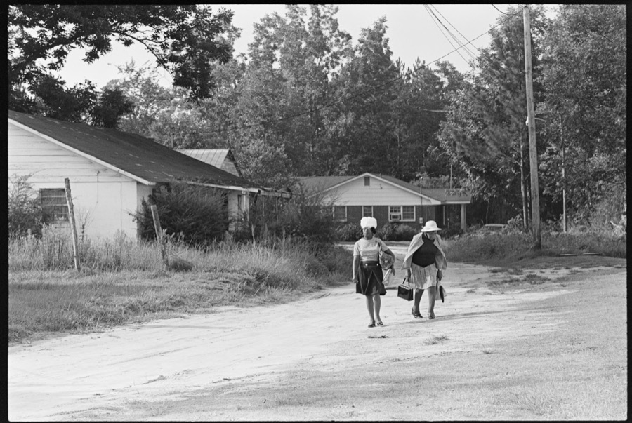
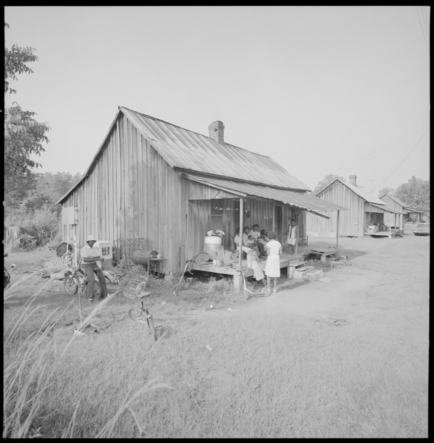






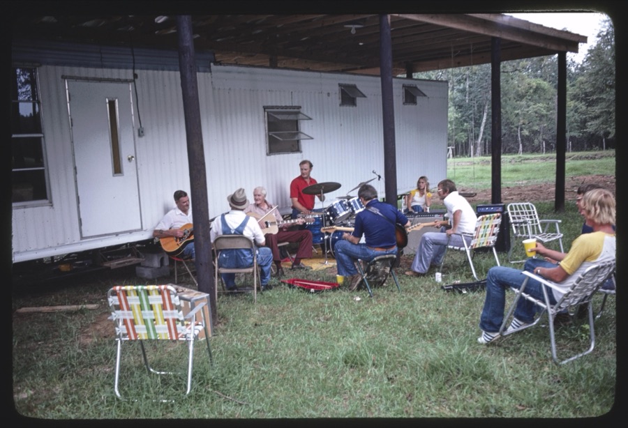



Every property in this county listed on the National Register of Historic Places, with the year it was listed and the federal nomination document.
| Photograph | Property | Type | Listed | Reference |
|---|---|---|---|---|
| Bank of Jakin | building | 2003 | 03000678 | |
 | Blakely Court Square Historic District | district | 2002 | 02000452 |
| James And Clara Butler House | building | 2002 | 01001430 | |
 | Coheelee Creek Covered Bridge | structure | 1976 | 76000617 |
 | Early County Courthouse | building | 1980 | 80001015 |
 | Jane Donalson Harrell House | building | 1982 | 82002407 |
 | Kolomoki Mounds | site | 1966 | 66000280 |
Early County has 1 covered bridge on the National Register. Each is a listed structure with a federal nomination on file.
| Coheelee Creek Covered Bridge | Listed 1976 |
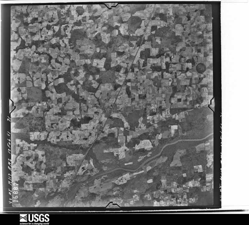
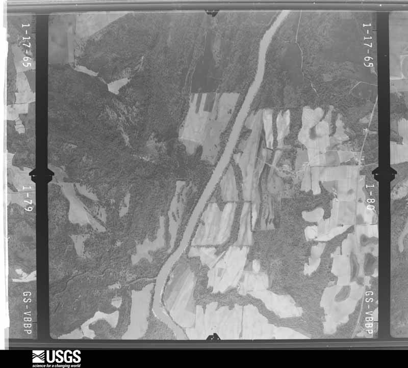
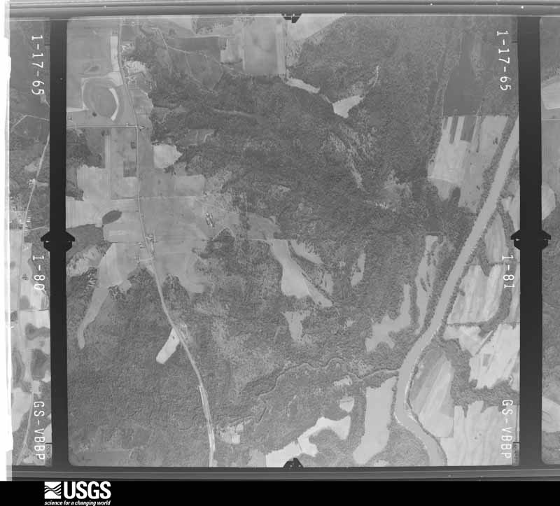
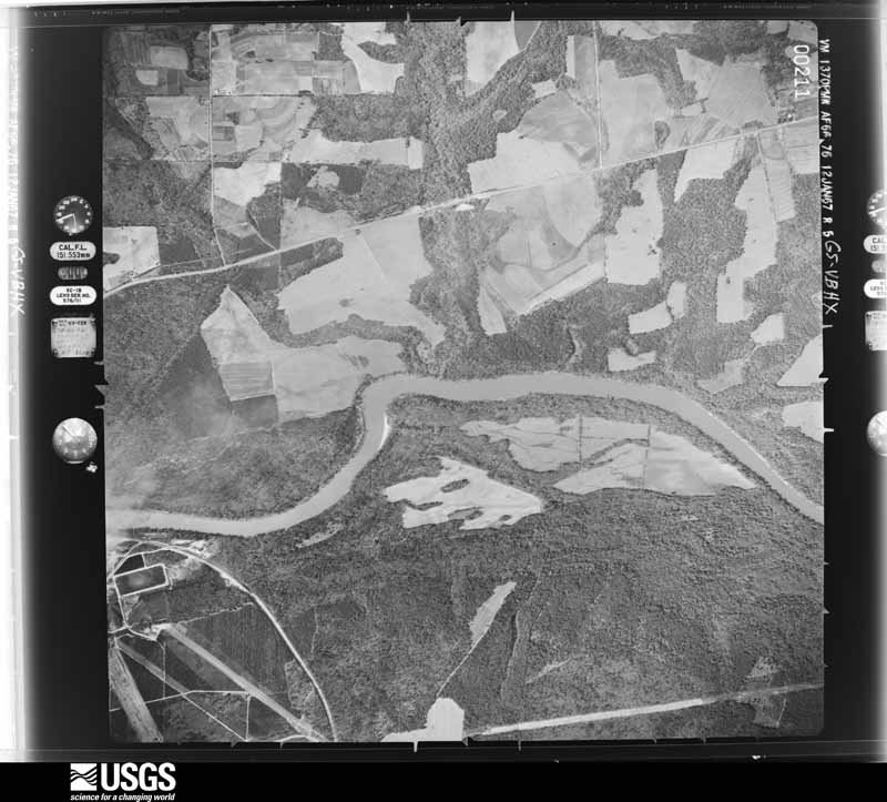
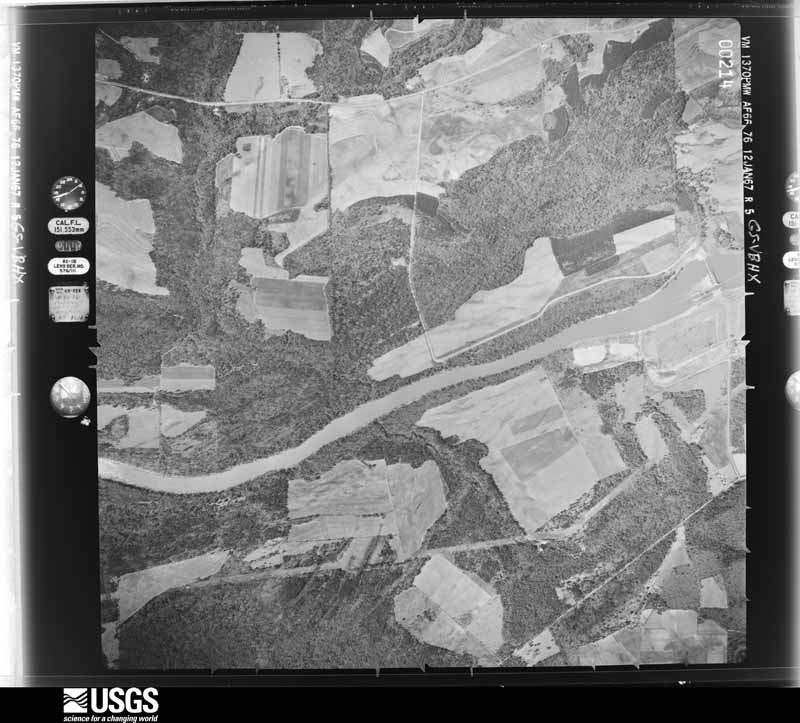
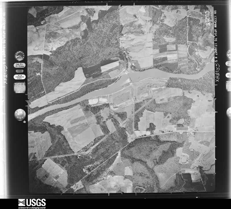
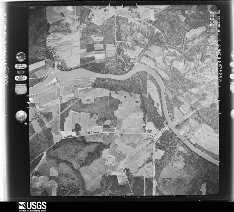
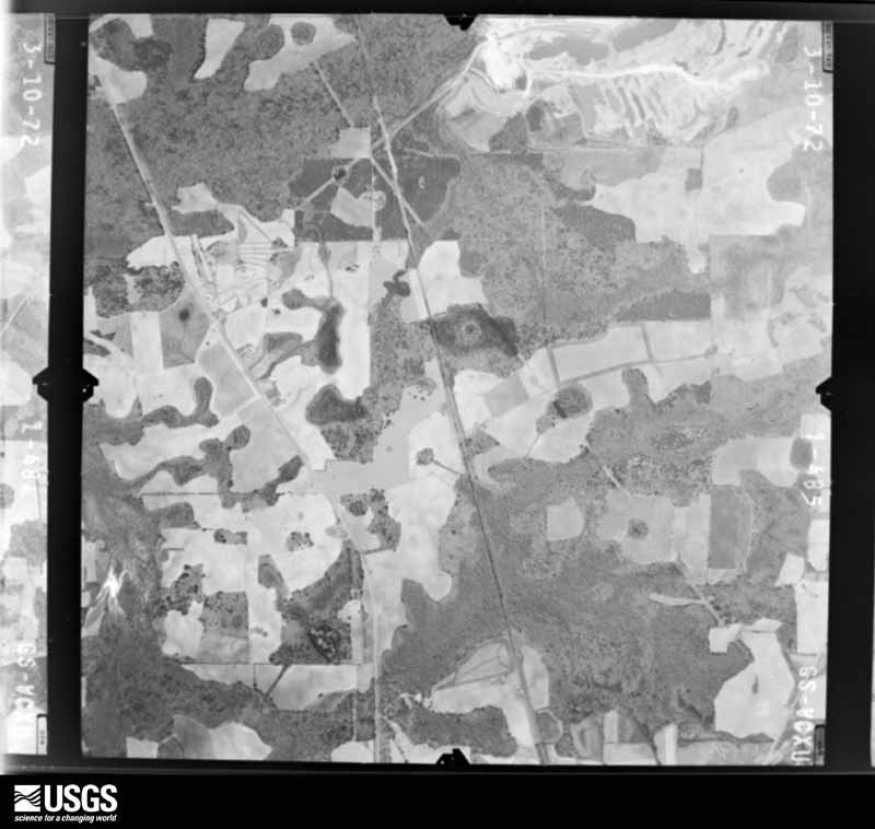
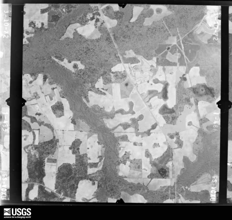
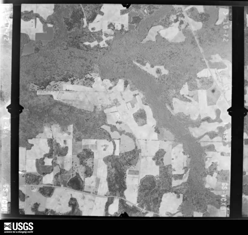
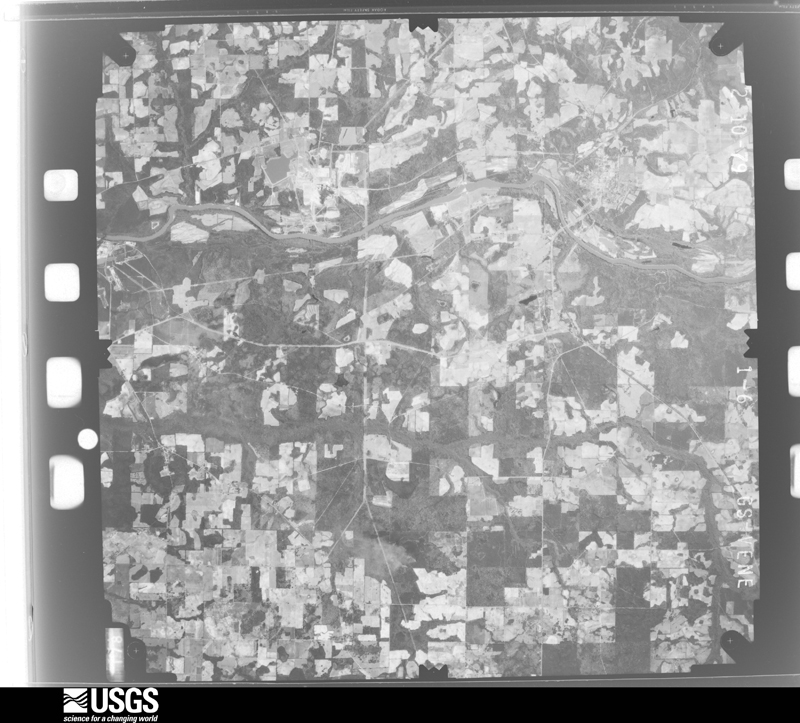
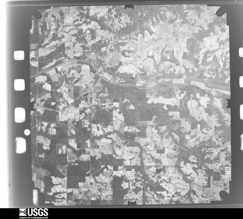
Flown by the U.S. Geological Survey between 1937 and 1989, the Aerial Photo Single Frames collection is the definitive mid-century view of the land: fields, roads and rivers as the camera saw them. The Survey holds 662 frames inside the rectangle that bounds this county; the 23 frames below were taken over the county itself, chosen across the decades of flights (at most four a year from that rectangle), so one flight cannot crowd out the rest. The full set is free to browse and download at EarthExplorer under the dataset Aerial Photo Single Frames.











The thermometers that kept this county's weather, and the gages that measured the flow of its streams, as the federal records hold them.
Who lived here in 1950, one enumeration district at a time, as the Census Bureau described each district. Each row opens its official National Archives result, with Population Schedules and ED Maps available there.
Every wildfire the federal occurrence database records inside this county: 1,505 of them, burning about 6,548 acres. 39 started naturally and 153 were recorded as arson. Each settlement page carries the fires within five miles of it.
| Reported cause | Fires |
|---|---|
| Debris and open burning | 810 |
| Equipment and vehicle use | 220 |
| Railroad operations and maintenance | 173 |
| Arson/incendiarism | 153 |
| Missing data/not specified/undetermined | 68 |
| Natural | 39 |
| Smoking | 23 |
| Misuse of fire by a minor | 10 |
| Recreation and ceremony | 9 |
The five largest, by the area the report gives. Three of them were set deliberately.
| Date | Cause | Size | Reported by | Name on the report |
|---|---|---|---|---|
| 24 February 2018 | Debris and open burning | 312 acres | Georgia Forestry Commission | FY2018EARLY029 |
| 28 October 2007 | Arson/incendiarism | 240 acres | Georgia Forestry Commission | BIG POND |
| 11 March 2004 | Debris and open burning | 154 acres | Georgia Forestry Commission | not named |
| 23 March 1996 | Arson/incendiarism | 141 acres | Georgia Forestry Commission | not named |
| 24 March 2002 | Debris and open burning | 126 acres | Georgia Forestry Commission | FY2002-EARLY-063 |
| 15 February 2015 | Debris and open burning | 116 acres | Georgia Forestry Commission | FY2015-EARLY-014 |
| 23 October 1999 | Arson/incendiarism | 109 acres | Georgia Forestry Commission | not named |
| 26 January 2018 | Debris and open burning | 93 acres | Georgia Forestry Commission | FY2018EARLY022 |
Every settlement page carries the fires within five miles of it - see the settlement index below.
The NOAA Storm Events Database holds 207 reports for this county, causing 2 deaths, 19 injuries and about $7,441,030 in recorded property damage. Each settlement page carries the reports that name it.
| Kind of event | Reports |
|---|---|
| Thunderstorm Wind | 133 |
| Tornado | 39 |
| Hail | 24 |
| Flash Flood | 9 |
| Heavy Rain | 1 |
| Flood | 1 |
The most serious of them, by death, then injury, then recorded damage. The accounts are quoted exactly as the forecast office filed them.
| When | Event | Place named | Harm | What the report says |
|---|---|---|---|---|
| January 2005 | Tornado (F1) | Crossroads | 2 killed, 5 hurt, $250,000 | A tornado touched down just north of County Road 114 and destroyed several small structures near a goat farm before it crossed Wood Valley Road. The tornado continued on a northerly track over open fields and wooded areas before damaging a brick house. Its roof was peeled off and thrown 75 yards. Three vehicles in the yard were destroyed. The tornado crossed Blakely Road and severely damaged a large double wide trailer. Its two occupants suffered minor injuries when the trailer was blown off its foundation. Before reaching the Early-Calhoun County line, the tornado carried a small double wide trailer 35 feet before impacting the ground and disintegrating. Of the five people inside, two were killed and three injured. The ground assessment was conducted by the WFO Tallahassee MIC and a SKYWARN storm spotter. The aerial assessment was conducted by the Georgia State Patrol. |
| February 2021 | Tornado (EF2) | Damascus | 5 hurt, $500,000 | A tornado touched down just west of Highway 45 south of Damascus in Early County, Georgia. Along Highway 45 the tornado snapped a few trees and damaged the roofs of a couple of houses. The tornado crossed the highway moving northeast and reached peak intensity as it hit homes along Killebrew Rd. Two homes and a detached garage along Killebrew Rd were destroyed down to their foundations, which were not anchored. One home was constructed of concrete block which collapsed. The other home was constructed of wood with a concrete block foundation. The 5 injuries noted came from these two homes. A truck was tossed from the detached garage and onto the homes. Several trees were uprooted and snapped, with other cars sustaining heavy damage. A large tree was uprooted behind the homes and thrown about 100 yards into the front yard. Two instances were noted of small metal pole projectiles lodged into trees. Another house nearby sustained heavy damage to the roof and had portions of the exterior walls fail. A propane gas tank was dislodged and moved at this location as well. Powerlines were knocked down and most trees were snapped or uprooted along this section of the path. After the tornado crossed Killebrew Rd, it headed northeast and appeared to weaken. Trees snapped and uprooted were observed along the rest of the track along Po Boy Lane, Pullen Rd, GA Highway 200, Big Pond Rd, County Rd 3, Billy Newberry Rd, County Rd 119, Patmos Milford Hwy, and Julia Jones Rd. Damage sustained in these areas were mostly tree damage along with a couple instances of minor roof damage. The tornado lifted in Baker County after crossing Julia Jones Rd. The tornado was rated as a high end EF2 with max estimated winds around 130 mph. |
| July 2008 | Thunderstorm Wind | Jakin | 5 hurt, $50,000 | A severe thunderstorm uprooted several pecan trees just east of Jakin. A nearby storage building and barn were damaged. Several trees fell across King-Santi Road. A large tree fell over a pasture fence where several of the cows escaped and wandered onto U.S. Highway 84. Three vehicles traveling in the eastbound lane struck four cows. Two drivers and three passengers were injured and transported to a local hospital. |
| December 2002 | Tornado (F1) | Blakely | 2 hurt, $750,000 | The tornado crossed the state line from Henry County Alabama into Early County Georgia. Its damage path extended from the Chattahoochee River northeast through Colomokee on U.S. Highway 27. The tornado destroyed one mobile home and damaged thirty others. Two persons were injured when their mobile home collapsed on them. Numerous trees and power lines were down. A state of emergency was declared. Reported by GEMA. |
| December 1954 | Tornado (F2) | not stated | 2 hurt, $25,000 | no account filed |
| April 1982 | Tornado (F2) | not stated | $2,500,000 | no account filed |
| January 2017 | Tornado (EF2) | Sawhatchee | $500,000 | An EF2 tornado with max winds estimated at 115 mph touched down on Damascus Hilton Road just east of Zion Road and moved NE toward Cedar Springs Road. At the intersection of Cedar Springs Road and Hightower Road, two residences were significantly damaged, with a portion of the roof deck removed. Additionally several farm buildings were damaged or destroyed in the area. The tornado then turned more to the east and eventually lifted when reaching Old Lucile Road. Damage further east on Rock Bluff Road near the intersection of Highway 39 was consistent with straight line wind damage with winds near 80 to 90 mph. Damage cost was estimated. |
| January 2017 | Tornado (EF2) | Centerville | $500,000 | An EF2 tornado with max winds near 115 mph initially touched down on the Early County side of the Early-Miller County line near Three Notch Road. Damage in this area was mainly limited to trees and a few farm buildings that were destroyed. Damage in this area was generally consistent with EF1 damage. The tornado moved NE toward US-27 near the intersection with Bates Road. A mobile home suffered roof damage and numerous pines were snapped or uprooted on the west side of US-27. The tornado continued northeast and intensified before reaching Middleton Road. Many trees were snapped, with a few debarked in this area. One farm building was completely destroyed in this area. The tornado continued moving to the east-northeast and ultimately lifted near Old Damascus Road where a few trees were snapped and a pivot irrigation system was overturned. Damage cost was estimated. |
| June 1994 | Thunderstorm Wind | Blakely | $500,000 | Thunderstorm winds uprooted several trees, downed power lines and utility poles throughout Blakely. About 1200 residents of Blakely were without power form more than five hours. Nearly four inches of rain fell in less than one hour. Thunderstorm winds also downed one large tree that fell and crushed a power boat and automobile. |
| January 2024 | Tornado (EF2) | Rowena | $326,000 | The tornado touched down in a heavily wooded area along Daniels road in Early County causing minor damage to trees. The tornado travelled north and intensified as it crossed agricultural fields and Clower Road where it toppled several center pivot irrigation systems. An unreinforced concrete block home was also destroyed along this road in Early county, consistent with an EF-2 rating. EF-2 damage was also noted just to the northeast along Highway 45 where two homes were badly damaged. An older two story home was shifted off its foundation several feet. Another newer brick home suffered significant roof damage. The intensity peaked at this location with an estimated maximum wind speed of 120 mph. Tree damage continued along the track to the northeast across Highway 216 and Nantze Spring Road before the tornado moved into Calhoun County. The tornado continued through wooded portions of Calhoun County, causing EF-1 consistent damage to trees. Damage was also noted to a railroad crossing gate along State Road 82. The tornado continued northeast through Calhoun County across Boggy Creek Road and Highway 37. The tornado crossed Highway 234 causing roof damage to a home before damaging a double-wide manufactured home on County Road 120. The tornado dissipated in a rural area just northeast of Highway 55. Thanks to Early and Calhoun County Emergency Management for assistance with this survey. In Early county, seven buildings were damaged for a total market loss of $326,523. This consisted of six single family homes and one mobile home. |
| June 2023 | Tornado (EF2) | Blakely | $250,000 | A tornado touched down just east of the intersection of Odom Lane and Cedar Springs Lane south of Blakely. Several snapped pine trees were found, consistent with EF-1 damage. The tornado then crossed Georgia Highway 39 where several large branches were broken off. The top bar of a chain-link fence was pulled out and a wooden fence was also blown down in this area south of Blakely. The tornado then moved eastward, roughly paralleling south of Damascus Street, snapping and uprooting both hardwood and softwood trees. The tornado crossed Waller Road south of Damascus Street, causing significant roof damage to a single-family home as well as uprooting and snapping several trees nearby. A large area of snapped pine trees was spotted south of Damascus Street between Waller Road and Sandy Bottom Road. The tornado then turned slightly to the northeast, crossing the intersection of Damascus Street and Sandy Bottom Road. Here, the damage was consistent with EF-2 intensity. Significant roof damage was done to a single-family home and numerous hardwood and softwood trees were snapped in the area. The tornado continued northeastward toward Giles-Hightower Road near the intersection of Mays Ford Road. A barn's walls collapsed here along with many other snapped and uprooted trees. Tree damage continued to the northeast south of Mays Ford Road, generally consistent with EF-1 damage. More tree damage was observed along Old Damascus Road and Georgia Highway 45. The tornado turned a bit more northeastward and crossed Georgia Highway 216 where more snapped and uprooted trees were found. Another area of EF-2 damage was then observed along Quail Country Road in far northeast Early County. Large sheds were completely destroyed here with large swaths of pine trees snapped. A double-wide manufactured home lost its roof and a couple exterior walls. Damage cost was estimated. |
| June 2001 | Thunderstorm Wind | Blakely Early Co Arp | $250,000 | Several planes and buildings damaged at the airport. Reported by the Early County EMA. |
| June 2003 | Tornado (F1) | Blakely | $125,000 | A tornado touched down near Highway 62, just west of Blakely. The tornado lifted a mobile home off its foundation, destroyed a barn, damaged several homes and uprooted numerous trees. Reported by the Early County Deputy Sheriff. |
| March 2026 | Tornado (EF1) | Blakely | $100,000 | Tornado touched down just east of Old Lucile Road south of Blakely, initially causing damage to oak and pine trees. The tornado flipped a storage shed and damaged a well-constructed farm equipment shelter along Lucile Road. The roof of a business housing several large trucks was severely damaged along Lucile Road as well. The overhead doors in the structure failed, allowing the roof and wall structure to be lifted and flipped over the rest of the building. The highest winds, approximately 95 mph were estimated to have occurred at this location. The tornado continued east-southeast, with a scattered path of damage to trees. The porch of a manufactured home was damaged on Crystal Springs Loop. An adjacent manufactured home was damaged by debris. After another stretch of isolated damage, additional more significant tree damage was observed along Sandy Bottom Road. The tornado appears to have dissipated shortly after crossing Sandy Bottom Road in a heavily wooded area. The overall damage was consistent with an EF-1 tornado with maximum winds of approximately 95 mph. Thanks to Early County Emergency Management for assistance with this assessment. |
| January 2017 | Tornado (EF2) | Rowena | $100,000 | An EF2 tornado with max winds near 120 mph touched down just west of Highway 45 north of Billy Newberry Road. The tornado lifted just north of Newton Road. There was significant tree damage along with some structural damage along the periphery of the path. Damage was estimated. |
| October 1997 | Tornado (F1) | Rowena | $100,000 | F1 tornado reported near Rowena. One home destroyed and a mobile home lifted off its foundation. Numerous trees down. |
| April 2021 | Tornado (EF1) | Rock Hill | $75,000 | The tornado touched down near Howard Landing Road in western Early County. There was minor damage to a mobile home near Jack Wright Road. An outbuilding and camper were destroyed at this location. Extensive tree damage was observed at a home along Highway 39. Roof damage was also noted at this location. The tornado continued eastward, causing sporadic tree damage before dissipating at N. Main Street in Blakely. The damage rating of EF1 with max winds estimated at 95 mph was based on the extensive tree damage and minor damage to homes. |
| April 2022 | Tornado (EF1) | Centerville | $50,000 | A tornado touched down in a stand of trees across a field from Old Lucile road. It continued to uproot several trees in front of the houses along Old Lucile road, as well as lifting part of a metal roof on a small house. The tornado continued eastward towards Three Notch road into Miller county where a live oak tree was uprooted, and a couple large pine trees were snapped halfway up. The tornado again continued east where a couple outbuildings and trees were blown down along Cooper Loop, Cannon road, and Charlie Tiner road. The tornado then lifted before it would have crossed US highway 27. This tornado was rated EF1 with maximum estimated winds around 90 mph. A dual-pol tornadic debris signature (TDS) was evident on KEOX radar. |
| April 2015 | Tornado (EF1) | Cedar Springs | $50,000 | This is a continuation of the long track tornado that started in Jackson county, FL and moved through Houston county, AL and into Early county, GA. For the Early county, GA portion of the track, numerous trees were snapped or uprooted along its path. Some damage to structures occurred, mainly with roofing material removed. The damage width reached its maximum extent south of Blakely where the tornado was estimated to be around 500 yards wide. Significant tree damage was noted about 2 miles south of Blakely just before the tornado started to lift. Debris from this area was blown east of Highway 27, but the tornado itself did not cross the highway. This section of the track was rated EF1 with winds around 105 mph.||While this is certainly not one of the stronger tornadoes to affect the WFO Tallahassee forecast area in recent years, this tornado is noteworthy for having a 39 mile long damage path occurring across three states. |
| September 2002 | Flash Flood | Countywide | $50,000 | Between six and ten inches of rain flooded several county roads. Many roads in Blakely were under water. Reported by the Early County EMA. |
| April 1998 | Hail | Blakely | $50,000 | Baseball sized hail damaged 8 to 10 homes in Blakely. |
| December 2007 | Tornado (EF0) | Blakely | $30,000 | A weak tornado touched down near the intersection of County Road 3 and Freeman Road where a house's metal addition was destroyed along with a few uprooted trees. The tornado lifted briefly, then touched down again just south of State Road 39 and destroyed an old shed store. The debris was strewn across the road as the tornado traveled northeast. Before the tornado dissipated, it damaged a mobile home. |
| January 1974 | Tornado (F1) | not stated | $25,000 | no account filed |
| November 1957 | Tornado (F1) | not stated | $25,000 | no account filed |
| December 1954 | Tornado (F2) | not stated | $25,000 | no account filed |
| April 2011 | Thunderstorm Wind | Blakely | $20,000 | Trees and power lines were blown down across the county. The monetary damage figure provided is a rough estimate. |
| September 2004 | Tornado (F0) | Blakely | $20,000 | A tornado touched down near the county jail in Blakely and caused minor damage. Scattered trees and power lines were down. Reported by a HAM radio operator. |
| March 2012 | Thunderstorm Wind | Nicholasville | $15,000 | A mobile home was severely damaged by thunderstorm winds. Monetary damage was estimated. |
| September 2004 | Tornado (F0) | Damascus | $15,000 | A tornado touched down near Highway 45 just north of Miller County. It caused minor damage to a few homes, and knocked down trees and power lines. Reported by the Early County EMA. |
| March 2021 | Thunderstorm Wind | Douglasville | $10,000 | A tree was blown down onto a truck near Highway 45 and Billy Newberry Road. |
| February 2025 | Thunderstorm Wind | Blakely | $5,000 | Wires were blown down with damage to a carport along Arnall Blvd in Blakely. |
| April 2025 | Tornado (EF0) | Hilton | $5,000 | A tornado touched down in in a field just south of Martin Road and then snapped a few pine trees as it crossed the road. The tornado then continued northeast across mainly streams, forest and open fields before causing minor damage to the Early County Elementary School and a nearby tree. The tornado likely lifted before reaching Freeman Road. The tree damage supports a maximum wind of 80 mph and an EF0 rating. |
| January 2024 | Thunderstorm Wind | Hilton | $5,000 | Train cars were blown over in the Hilton area. |
| May 2023 | Thunderstorm Wind | Hilton | $5,000 | A pine tree was blown down along with some roof damage and a broken flag pole in the Hilton area. |
| April 2020 | Thunderstorm Wind | Cuba | $5,000 | Trees were snapped an an outbuilding destroyed at 8275 Highway 27. |
| April 2015 | Thunderstorm Wind | Blakely | $5,000 | Numerous trees and power lines were blown down. |
| January 2013 | Thunderstorm Wind | Hilton | $5,000 | Numerous trees and power lines were blown down across Early county. Monetary damage was estimated. |
| March 2012 | Tornado (EF0) | Kolomoki Mounds State Park | $5,000 | Law enforcement observed this tornado. This tornado tracked across a rural area of Early county just south of Kolomoki Mounds State Park. Only minor damage was reported in the form of trees down and minor roof damage to a couple of structures. The damage was consistent with an EF0 tornado with winds around 80 mph. Monetary damage was estimated. |
| January 2006 | Thunderstorm Wind | Blakely | $5,000 | A few downed trees reported by the Early County Sheriff. One tree fell on a vehicle on Highway 39. |
| July 2006 | Thunderstorm Wind | Damascus | $5,000 | Trees were down west of Damascus on State Highway 200. A car was blown off the highway. Reported by the Early County Sheriff. |
| July 2004 | Thunderstorm Wind | Southeast Portion | $5,000 | Downed trees and power lines reported by the Early County EMA. |
| September 2004 | Tornado (F0) | Centerville | $5,000 | A tornado touched down briefly which downed trees and power lines. Reported by the Early County EMA. |
| March 2001 | Thunderstorm Wind | Countywide | $5,000 | Several trees and power lines down. Reported by the Early County EMA. |
| December 2000 | Thunderstorm Wind | Southeast Portion | $5,000 | Several trees and power lines down on U.S. Highway 27 and State Highway 200. Reported by the Early County EMA. |
| March 1993 | Thunderstorm Wind | Jakin | $5,000 | Several large tree limbs and power lines were downed from thunderstorm winds. |
| May 2025 | Thunderstorm Wind | Ferrell Crossroads | $4,000 | Several trees and power lines were blown down in Early county. |
| July 2024 | Thunderstorm Wind | Rowena | $4,000 | There were a few power poles blown down east of Blakely, which also caused a fire. |
| January 2026 | Thunderstorm Wind | Blakely | $3,000 | Trees and power lines were blown down along MLK Jr Blvd in Blakely. |
| April 2022 | Thunderstorm Wind | Hentown | $3,000 | Trees and power lines were blown down around 16480 Damascus-Hilton Road. |
| June 2021 | Tornado (EF1) | Kolomoki Mounds State Park | $3,000 | A tornado touched down west of Blakely, GA and traversed mainly rural terrain across Early, Clay, and Randolph Counties. The tornado was observed at multiple locations by trained spotters and the public throughout its path. The storm snapped or uprooted numerous pine trees northwest of Blakely. Tree damage continued into Clay County but didn't affect any major roadways. The tornado crossed GA-266 near Coleman in Randolph County. Minor structural damage was noted to a few residences and pump houses near US-82 and Reid Station Road west of Cuthbert. Numerous trees were snapped in this area, some blocking US-82. Some further tree damage was reported north of the highway before the tornado lifted. |
| April 2019 | Thunderstorm Wind | Blakely | $3,000 | Multiple trees and power lines were blown down across the city. |
| July 2011 | Thunderstorm Wind | Blakely | $3,000 | A few power lines were blown down along Cedar Springs Road south of Blakely. The monetary damage figure provided is a rough estimate. |
| September 2011 | Thunderstorm Wind | Blakely | $3,000 | A few power lines were blown down along Highway 62 West. The monetary damage figure provided is a rough estimate. |
| December 1973 | Tornado (F1) | not stated | $2,500 | no account filed |
| November 1972 | Tornado (F0) | not stated | $2,500 | no account filed |
| May 1967 | Tornado (F1) | not stated | $2,500 | no account filed |
| January 1962 | Tornado (F1) | not stated | $2,500 | no account filed |
| November 1961 | Tornado (F2) | not stated | $2,500 | no account filed |
| January 2026 | Thunderstorm Wind | Hilton | $2,000 | Trees and power lines were blown down along Highway 62 and Lower River Road. |
| January 2023 | Thunderstorm Wind | Blakely | $2,000 | A power line was blown down on S Main Street. |
The Survey's mineral resources record lists 1 working inside this county. It is closed or unrecorded. Each settlement page carries the workings within five miles of it.
| Commodity | Workings |
|---|---|
| Stone, Crushed/Broken | 1 |
The least common of them first, because a county's hundredth gravel pit says nothing its first ten did not.
| Where | Site | Commodity | Status | Recorded |
|---|---|---|---|---|
| Spring Creek Quarry | Stone, Crushed/Broken | Past Producer |
Named settlements recorded in the Geographic Names Information System, each with the topographic sheets covering it. Villages, hamlets and abandoned places alike. Each is shown with the nearest named watercourse or landform and the survey quadrangle it falls on. The 1 place that was also surveyed for fire insurance comes first, with the number of atlases and photographs held for them.
Blakely census division · 39823 · Blakely North quadrangle
8 sheets, 1953 to 1981
Fire insurance: 5 atlases
Damascus census division · 39823 · On Number Five Branch · Bancroft quadrangle
8 sheets, 1953 to 1981
Jakin census division · 39861 · On Cedar Springs Branch · Gordon quadrangle
9 sheets, 1953 to 1981
Blakely census division · 39824 · Blakely North quadrangle
8 sheets, 1953 to 1981
Blakely census division · 39823 · On Freeman Branch · Columbia quadrangle
9 sheets, 1953 to 1981
Jakin census division · 39861 · On Howards Mill Creek · Lucile quadrangle
9 sheets, 1953 to 1981
Jakin census division · 39823 · On Cedar Springs Branch · Gordon quadrangle
9 sheets, 1953 to 1981
Blakely census division · 39823 · Blakely South quadrangle
8 sheets, 1953 to 1981
No longer a settlement
Blakely census division · 39823 · Blakely North quadrangle
8 sheets, 1953 to 1981
No longer a settlement
Blakely census division · 39823 · On Chancey Mill Creek · Columbia quadrangle
9 sheets, 1953 to 1981
Jakin census division · 39861 · On Sawhatchee Creek · Saffold quadrangle
8 sheets, 1953 to 1981
Jakin census division · 39861 · Lucile quadrangle
9 sheets, 1953 to 1981
No longer a settlement
The vanished settlements of Early County: the places named above that are no longer on the map.
8 topographic sheets and 5 fire insurance atlases, 1906 to 1948