 Block
From the record
2 National Register listings published here.
Sources: the National Register database, National Park Service
13 topographic sheets cover 10 settlements here, and 2 properties are on the National Register of Historic Places.
2 National Register listings published here.
Sources: the National Register database, National Park Service
Every property in this county listed on the National Register of Historic Places, with the year it was listed and the federal nomination document.
| Photograph | Property | Type | Listed | Reference |
|---|---|---|---|---|
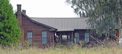 | Corbett Farm | district | 2000 | 00001455 |
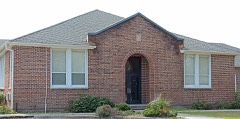 | Statenville Consolidated School | building | 1988 | 88000606 |
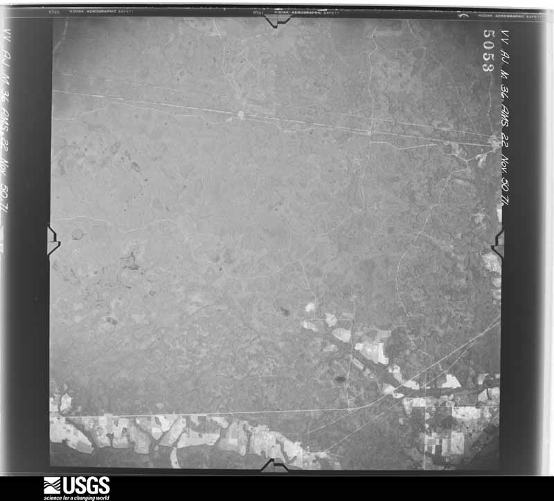
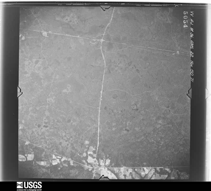
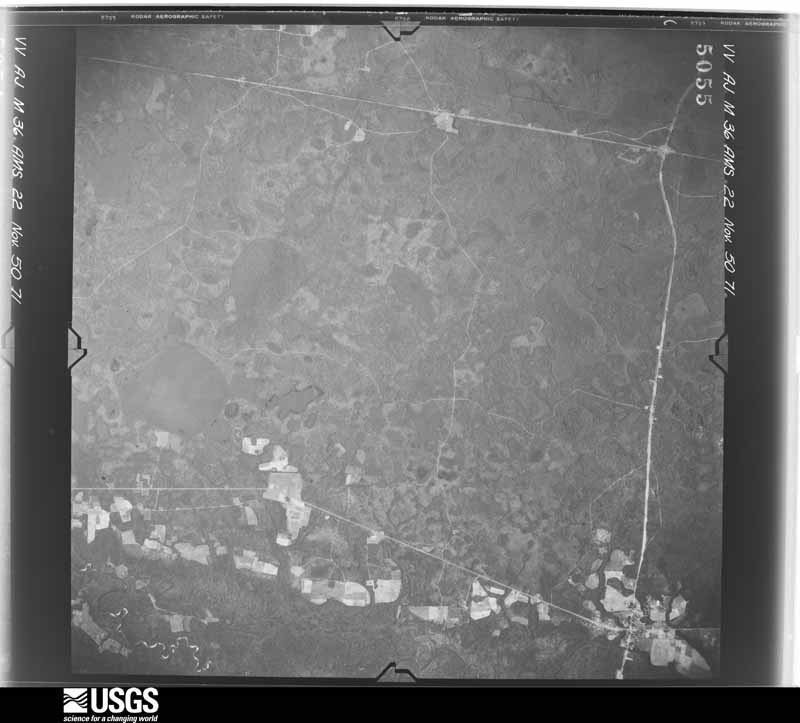
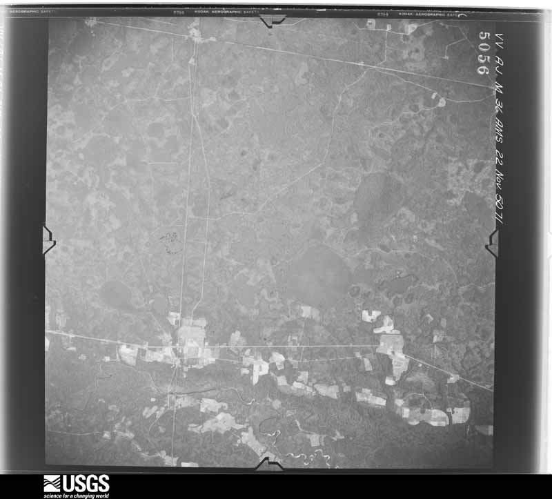
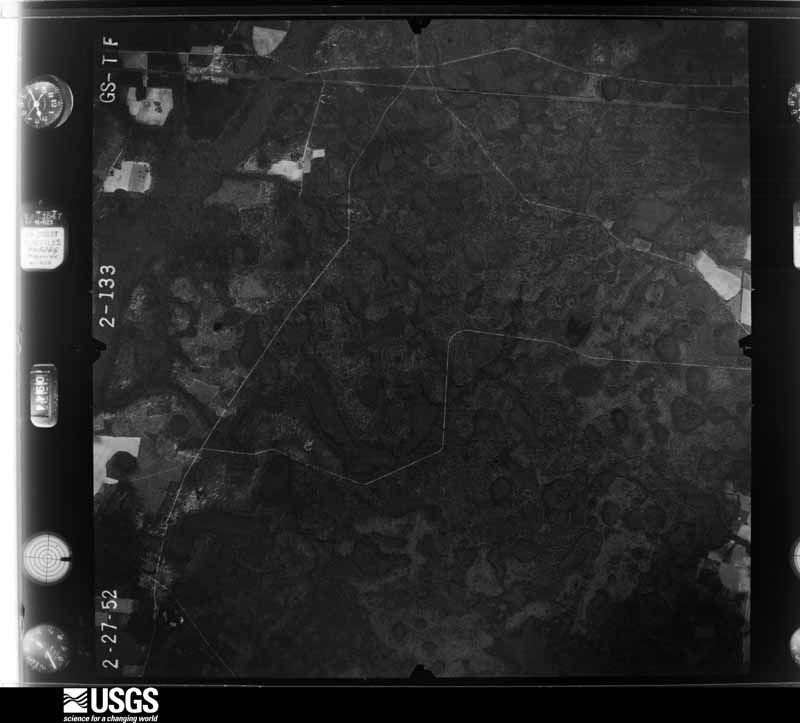
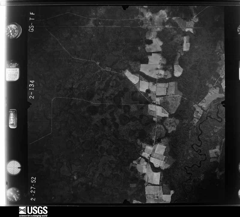
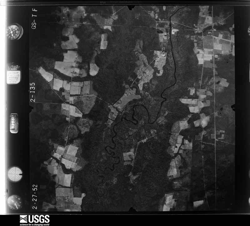
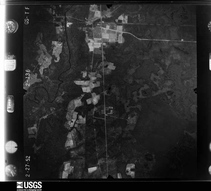
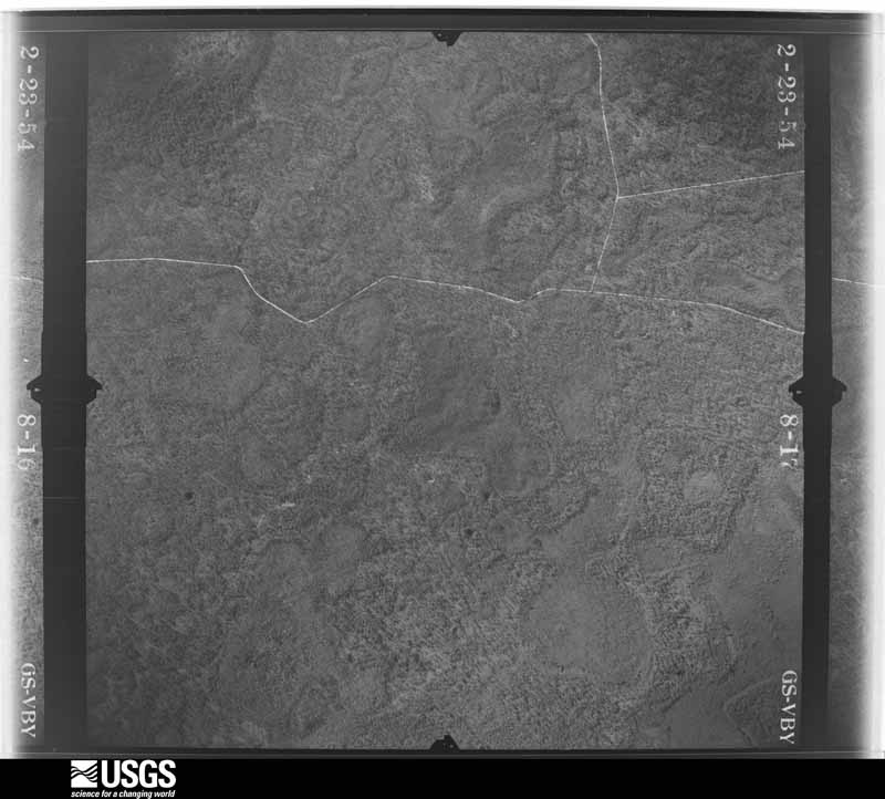
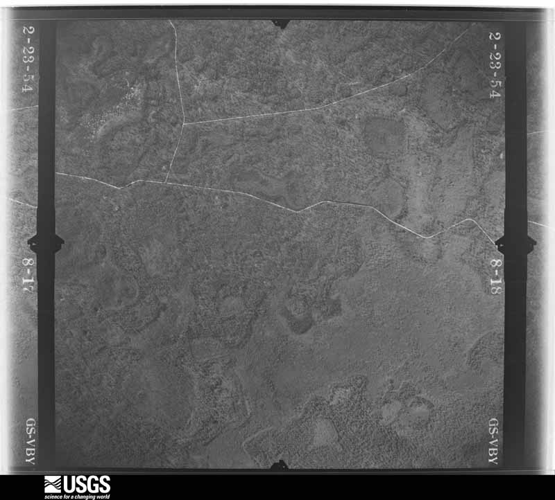
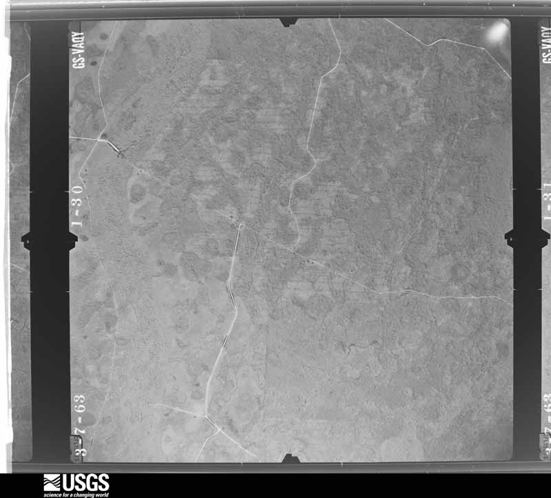
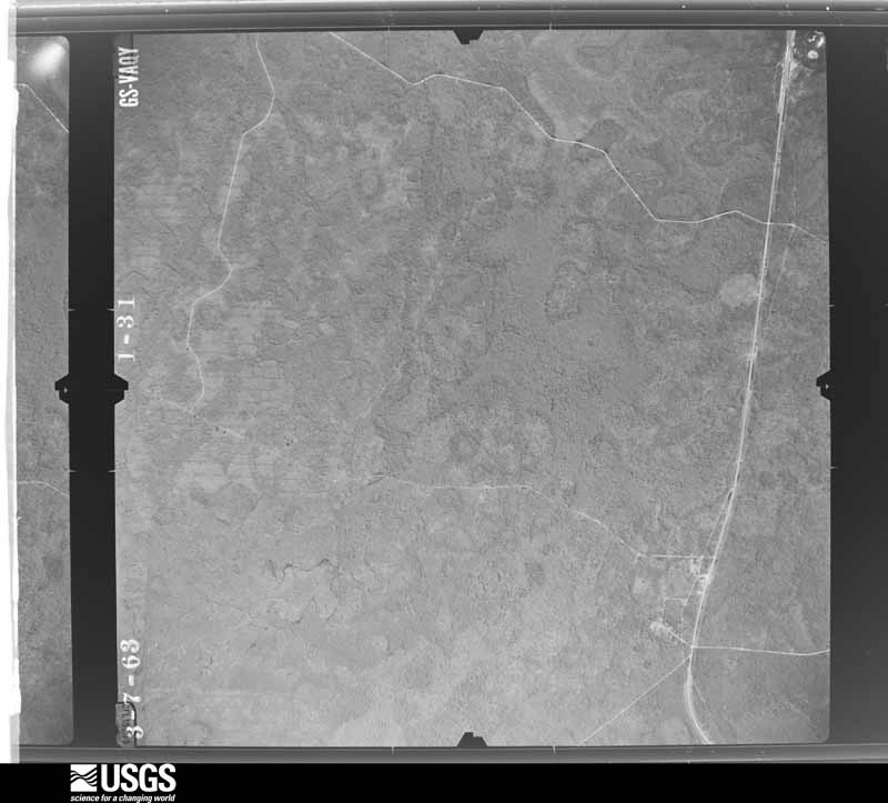
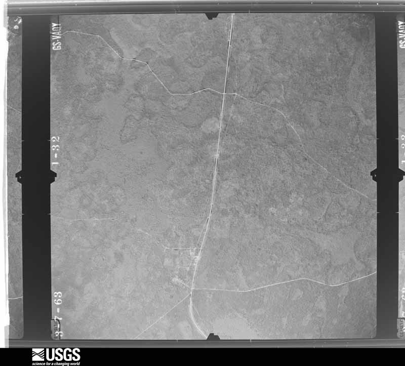
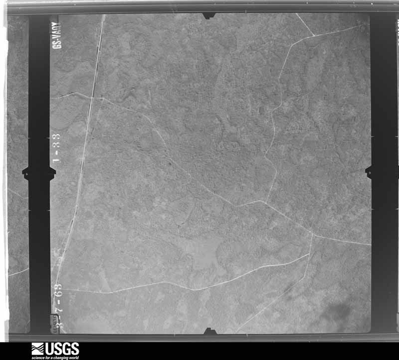
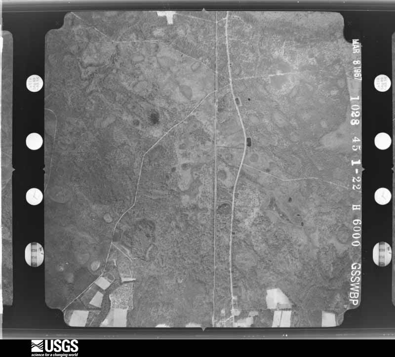
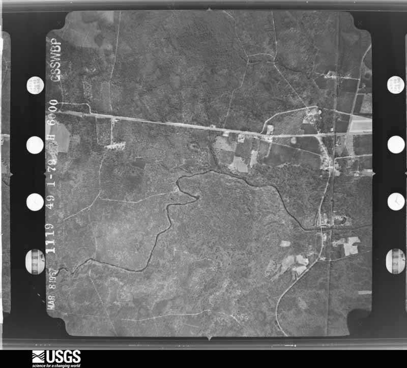
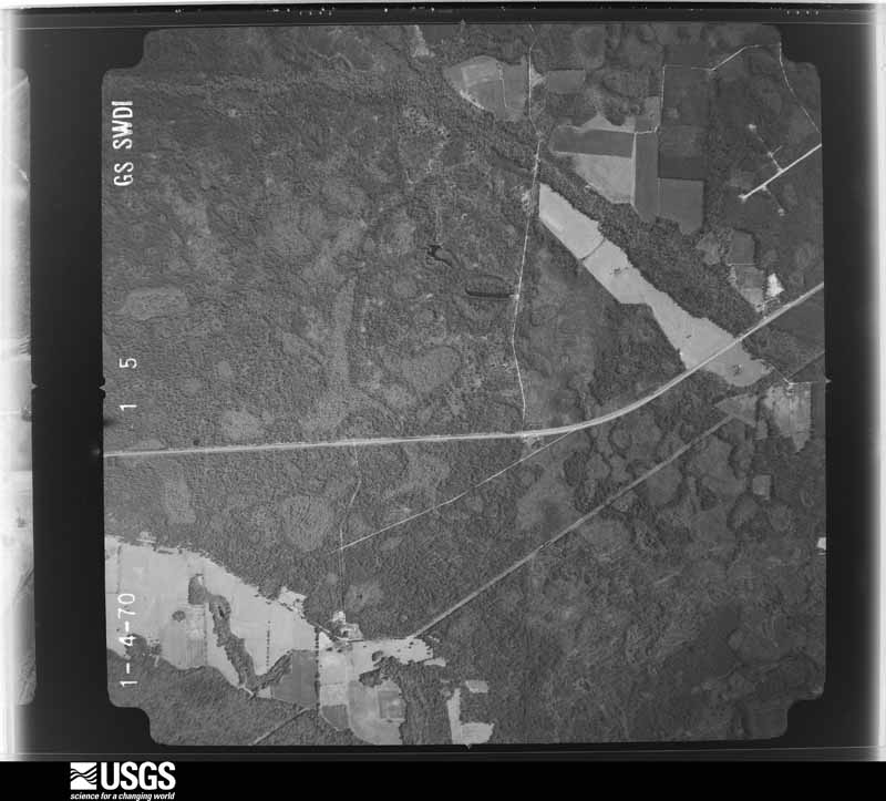
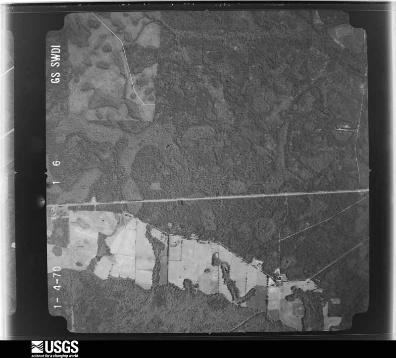
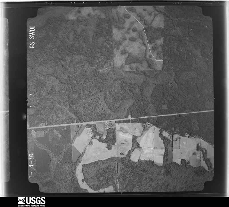
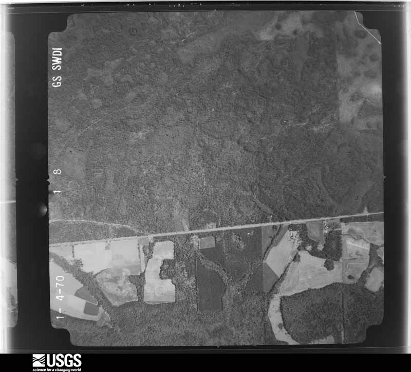
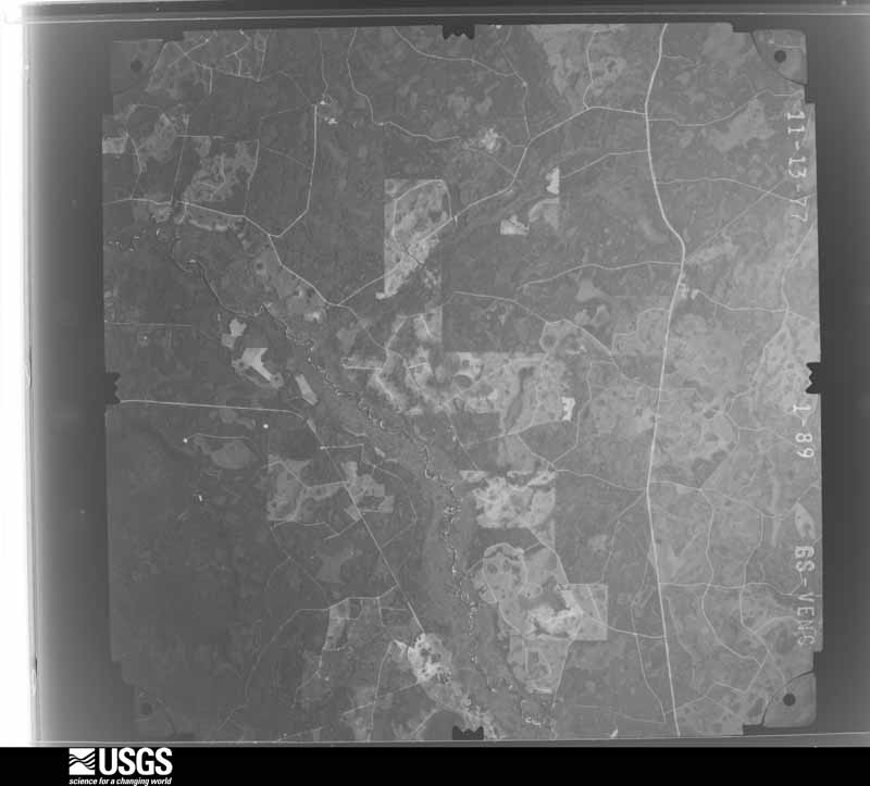
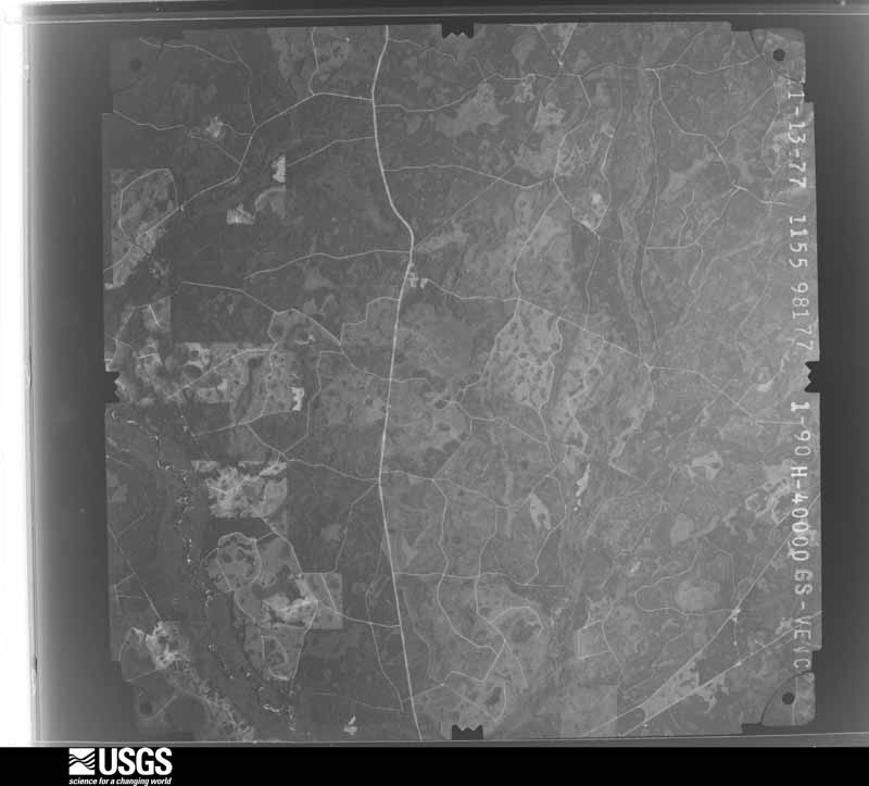
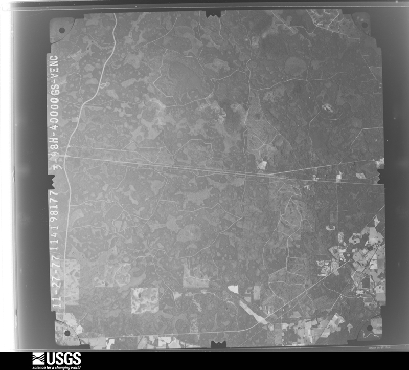
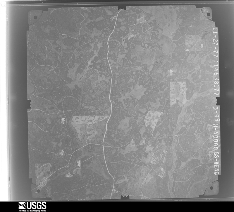
Flown by the U.S. Geological Survey between 1937 and 1989, the Aerial Photo Single Frames collection is the definitive mid-century view of the land: fields, roads and rivers as the camera saw them. The Survey holds 1,106 frames inside the rectangle that bounds this county; the 26 frames below were taken over the county itself, chosen across the decades of flights (at most four a year from that rectangle), so one flight cannot crowd out the rest. The full set is free to browse and download at EarthExplorer under the dataset Aerial Photo Single Frames.
The thermometers that kept this county's weather, and the gages that measured the flow of its streams, as the federal records hold them. The extremes below are measured values from those records, not estimates.
Who lived here in 1950, one enumeration district at a time, as the Census Bureau described each district. Each row opens its official National Archives result, with Population Schedules and ED Maps available there.
Every wildfire the federal occurrence database records inside this county: 919 of them, burning about 4,745 acres. 161 started naturally and 261 were recorded as arson. Each settlement page carries the fires within five miles of it.
| Reported cause | Fires |
|---|---|
| Debris and open burning | 289 |
| Arson/incendiarism | 261 |
| Natural | 161 |
| Missing data/not specified/undetermined | 82 |
| Equipment and vehicle use | 73 |
| Smoking | 19 |
| Recreation and ceremony | 15 |
| Misuse of fire by a minor | 11 |
| Railroad operations and maintenance | 8 |
The five largest, by the area the report gives. None of them was recorded as arson.
| Date | Cause | Size | Reported by | Name on the report |
|---|---|---|---|---|
| 10 July 2016 | Natural | 478 acres | Georgia Forestry Commission | FY2017-ECHOLS-001 |
| 1 May 1999 | Equipment and vehicle use | 278 acres | Georgia Forestry Commission | not named |
| 6 May 1996 | Debris and open burning | 271 acres | Georgia Forestry Commission | not named |
| 14 July 2004 | Natural | 213 acres | Georgia Forestry Commission | not named |
| 1 October 2006 | Debris and open burning | 139 acres | Georgia Forestry Commission | not named |
| 4 September 1999 | Debris and open burning | 133 acres | Georgia Forestry Commission | not named |
| 22 February 2015 | Debris and open burning | 121 acres | Georgia Forestry Commission | FY2015-ECHOLS-011 |
| 25 May 2007 | Equipment and vehicle use | 91 acres | Georgia Forestry Commission | not named |
Every settlement page carries the fires within five miles of it - see the settlement index below.
The NOAA Storm Events Database holds 102 reports for this county, causing no deaths, no injuries and about $590,000 in recorded property damage. Each settlement page carries the reports that name it.
| Kind of event | Reports |
|---|---|
| Thunderstorm Wind | 76 |
| Hail | 12 |
| Tornado | 5 |
| Heavy Rain | 5 |
| Flash Flood | 2 |
| Flood | 2 |
The most serious of them, by death, then injury, then recorded damage. The accounts are quoted exactly as the forecast office filed them.
| When | Event | Place named | Harm | What the report says |
|---|---|---|---|---|
| March 1993 | Tornado (F1) | Statenville | $500,000 | The tornado destroyed a large building near the Forestry Department on the north side of Statesville on U.S. Highway 129. A church and about 50 homes and trailers were also damaged from the tornado. |
| September 1998 | Thunderstorm Wind | Statenville | $15,000 | A roof was blown off a home. Large trees and power lines were blown down. |
| March 2026 | Thunderstorm Wind | Statenville | $12,000 | EM reports about a dozen trees down across the area. Time estimated from radar. |
| November 2002 | Tornado (F0) | Needmore | $10,000 | Trees blown down along highway 94 between Needmore and Fargo. Discontinuous 200 Yard wide debris field reported. |
| March 2003 | Thunderstorm Wind | Mayday | $5,000 | Large trees down on power lines. |
| June 1994 | Thunderstorm Wind | Statenville | $5,000 | Two large trees, several small trees and a few power lines were blown down along U.S. Highway 129. |
| June 2001 | Thunderstorm Wind | Needmore | $3,500 | Large trees and power lines were blown down. |
| June 2001 | Thunderstorm Wind | Needmore | $3,500 | Large trees and power lines were blown down. |
| June 2001 | Thunderstorm Wind | Haylow | $2,500 | Large trees and power lines were blown down. |
| February 2000 | Thunderstorm Wind | Statenville | $2,500 | Large trees and power lines were blown down. |
| January 2000 | Thunderstorm Wind | Statenville | $2,500 | Large trees were blown down. |
| April 2000 | Thunderstorm Wind | Statenville | $2,500 | Large trees and power lines were blown down. |
| May 2000 | Thunderstorm Wind | Statenville | $2,500 | Large trees were blown down. |
| October 2000 | Thunderstorm Wind | Needmore | $2,500 | Large trees and power lines were blown down. |
| November 1999 | Tornado (F0) | Tarver | $2,500 | Tornado was weak, with most of the damage at tree top level. Tornado developed in Hamilton County, Florida. |
| June 1998 | Thunderstorm Wind | Needmore | $2,500 | Large trees and power lines were blown down. |
| December 2002 | Thunderstorm Wind | Needmore | $2,000 | Several large Oak trees down in NWS Co-op Observer's yard. |
| June 2002 | Thunderstorm Wind | Countywide | $2,000 | Large trees and power lines down. |
| June 1998 | Thunderstorm Wind | Haylow | $2,000 | Large trees and power lines were blown down. |
| October 1997 | Tornado (F0) | Tarver | $2,000 | Tornado skipped along and just North of SR-94. Large trees and tops of trees were destroyed. |
| October 1995 | Thunderstorm Wind | Needmore | $2,000 | Large oak trees were uprooted across Bethal Church Road. |
| February 1998 | Thunderstorm Wind | Statenville | $1,500 | Large tress and power lines were blown down. |
| March 1998 | Thunderstorm Wind | Statenville | $1,500 | Large trees and power lines were blown down. |
| July 2014 | Thunderstorm Wind | Statenville | $1,000 | A tree was blown down onto U.S. Highway 441 which blocked the southbound lane just north of the Florida Georgia state line. The cost of damage was estimated. |
| June 1997 | Thunderstorm Wind | Statenville | $600 | Large trees were blown down and blocked SR-135 and 129. |
| April 1998 | Thunderstorm Wind | Statenville | $500 | Large trees and power lines were blown down. |
| June 1994 | Thunderstorm Wind | Statenville | $500 | A few large trees and power lines were downed by thunderstorm winds along U.S. Highway 129. |
| May 2022 | Thunderstorm Wind | Statenville | $200 | Two large tree limbs were blown down along Highway 41 near the Lowdes and Echols county line. The cost of damage unknown, but it was estimated for Storm Data inclusion. |
| March 2025 | Thunderstorm Wind | Statenville | $100 | A large tree was blown down down and blocked Son Clayton Rd in | Echols County Georgia. The time of damage was estimated with | radar. The cost of damage was unknown but it was estimate for inclusion of the event in Storm Data. |
| May 2002 | Thunderstorm Wind | Needmore | $100 | Large limbs down. |
| June 2025 | Heavy Rain | Statenville | - | Heavy rainfall of 2.47 inches fell from 5:45 pm through | 7:00 pm. |
| April 2024 | Heavy Rain | Statenville | - | A mesonet station in Statenville measured a 12 hour rainfall of 7.21 inches. |
| February 2023 | Flood | Statenville | - | Echols county dispatch reported that U.S. Highway 41 was still closed due to flooding over the roadway. It was closed for at least 24 hrs due to flood water. |
| June 2023 | Thunderstorm Wind | Howell | - | Two trees were blown down along Highway 135N between mile markers 12 and 13 near Valentine Road. The time of damage was based on radar. |
| December 2023 | Heavy Rain | Statenville | - | A mesonet station near Statenville measured 2.69 inches of storm total rain. |
| July 2023 | Thunderstorm Wind | Mayday | - | A tree was blown down. |
| March 2022 | Tornado (EF0) | Statenville | - | At 1:53 PM EST, an EF0 tornado passed through an area of homes near the intersection of HWY 135 south and Jean circle in Echols county. Damage was reported from multiple sources from the Echols county sheriff department and emergency manager as well as the NWS Jacksonville storm survey. Between Walt road and Jean circle, multiple metal roofs were damaged, uplifted and blown away from sheds, a metal building system, and a couple of single wide mobile homes. Power lines were down along Walt road caused by metal roofing from a shed being blown into the primary lines. A street sign was also pulled from the ground near Jean circle. Multiple hardwood trees along the half mile path had large tree branches broken off. |
| April 2021 | Thunderstorm Wind | Statenville | - | Widespread trees damage was reported county wide. The time of damage was based on radar. |
| April 2021 | Hail | Statenville | - | Tennis ball size hail damaged vehicles. It broke windows and dented tops of cars about 2 miles east of Statenville along Highway 94. |
| April 2021 | Thunderstorm Wind | Dayton | - | Trees were blown down along US Highway 441 northbound which blocked the road near Mile Marker 4 in Echols county. The time of the damage was based on radar. |
| February 2020 | Thunderstorm Wind | Tarver | - | Trees and power lines were blown down across the county. |
| December 2020 | Thunderstorm Wind | Howell | - | A tree was blown down across the road near the intersection of Highway 135 north and Howell Road. |
| March 2019 | Thunderstorm Wind | Mayday | - | A tree was blown down across Highway 129 near mile marker 13. The time of the event was based on radar. |
| April 2019 | Thunderstorm Wind | Statenville | - | Numerous trees were blown down near Statenville. The time of damage was based on radar. |
| June 2019 | Thunderstorm Wind | Mayday | - | Power lines were blown down via the REA crew. The time of damage was based on radar. |
| July 2018 | Thunderstorm Wind | Statenville | - | A tree was blown down onto a power line near the intersection of US Highway 129 and GA State Road 94. |
| June 2018 | Thunderstorm Wind | Mayday | - | Many trees were blown down near Howell and Mayday. Minor damage occurred to a few building. The time of damage was based on radar. |
| May 2016 | Thunderstorm Wind | Statenville | - | Two trees were blown down onto power lines at mile marker 4 on Highway 129. |
| August 2016 | Thunderstorm Wind | Howell | - | Two trees were blown down south of Howell across the road. |
| June 2015 | Thunderstorm Wind | Howell | - | Howell Road had a tree down. |
| July 2015 | Thunderstorm Wind | Statenville | - | Wind damage occurred to an awning at the law enforcement complex in Statenville. Several trees were also blown down within the Statenville area. |
| June 2015 | Thunderstorm Wind | Mayday | - | Numerous trees were blown down. |
| June 2015 | Thunderstorm Wind | Tarver | - | Numerous large trees were blown down. |
| July 2015 | Thunderstorm Wind | Statenville | - | A large tree limb was snapped and fell onto Cypress Lane. The time of damage was based on radar. |
| March 2014 | Thunderstorm Wind | Pineland | - | Trees were blown down in Echols county. |
| February 2014 | Thunderstorm Wind | Statenville | - | Trees were blown down in the western tier of the county. |
| June 2014 | Thunderstorm Wind | Haylow | - | Scattered trees were blown down. The time of damage was based on radar. |
| July 2013 | Thunderstorm Wind | Statenville | - | Four trees were blown down along Sardis Church Road. The time of the event was based on radar imagery. |
| August 2013 | Thunderstorm Wind | Statenville | - | Trees were blown down at the intersection of J. Frank Culpepper Road and Bethal Church Road. The time of damage was based on radar imagery. |
| August 2013 | Thunderstorm Wind | Statenville | - | A barn roof was damaged due to thunderstorm winds. |
The Survey's mineral resources record lists 2 workings inside this county. None of them still produces: all are closed or unrecorded. Each settlement page carries the workings within five miles of it.
| Commodity | Workings |
|---|---|
| Sand and Gravel, Construction | 1 |
| Phosphorus-Phosphates | 1 |
| Water, Free, Aluminum, Fluorine-Fluorite, Iron, Magnesite, Uranium | 1 |
The least common of them first, because a county's hundredth gravel pit says nothing its first ten did not.
| Where | Site | Commodity | Status | Recorded |
|---|---|---|---|---|
| Statenville Deposit | Phosphorus-Phosphates, Water, Free, Aluminum, Fluorine-Fluorite, Iron, Magnesite, Uranium | Prospect | 1890 | |
| Unnamed Sand Deposits | Sand and Gravel, Construction | Occurrence | Alluvium |
Named settlements recorded in the Geographic Names Information System, each with the topographic sheets covering it. Villages, hamlets and abandoned places alike. Each is shown with the nearest named watercourse or landform and the survey quadrangle it falls on.
East Echols census division · 31630 · On Bear Branch · Thelma quadrangle
6 sheets, 1954 to 1980
East Echols census division · 31636 · On Pindar Creek · Howell quadrangle
6 sheets, 1954 to 1981
East Echols census division · 31631 · On Wolf Bay Drain · Needmore quadrangle
7 sheets, 1954 to 1980