 Block
From the record
4 National Register listings published here.
Sources: the National Register database, National Park Service
24 topographic sheets and 3 fire insurance atlases across 1 place.
4 National Register listings published here.
Sources: the National Register database, National Park Service
Every property in this county listed on the National Register of Historic Places, with the year it was listed and the federal nomination document.
| Photograph | Property | Type | Listed | Reference |
|---|---|---|---|---|
 | Dr. James W. Daniel House | building | 1983 | 83000192 |
 | George W. DeLoach House | building | 1982 | 82002412 |
 | Evans County Courthouse | building | 1980 | 80001018 |
 | Mitchell J. Green Plantation | district | 1980 | 80001019 |
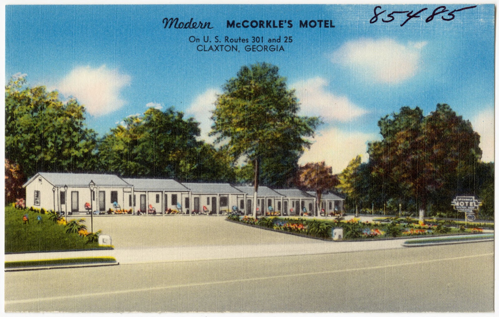
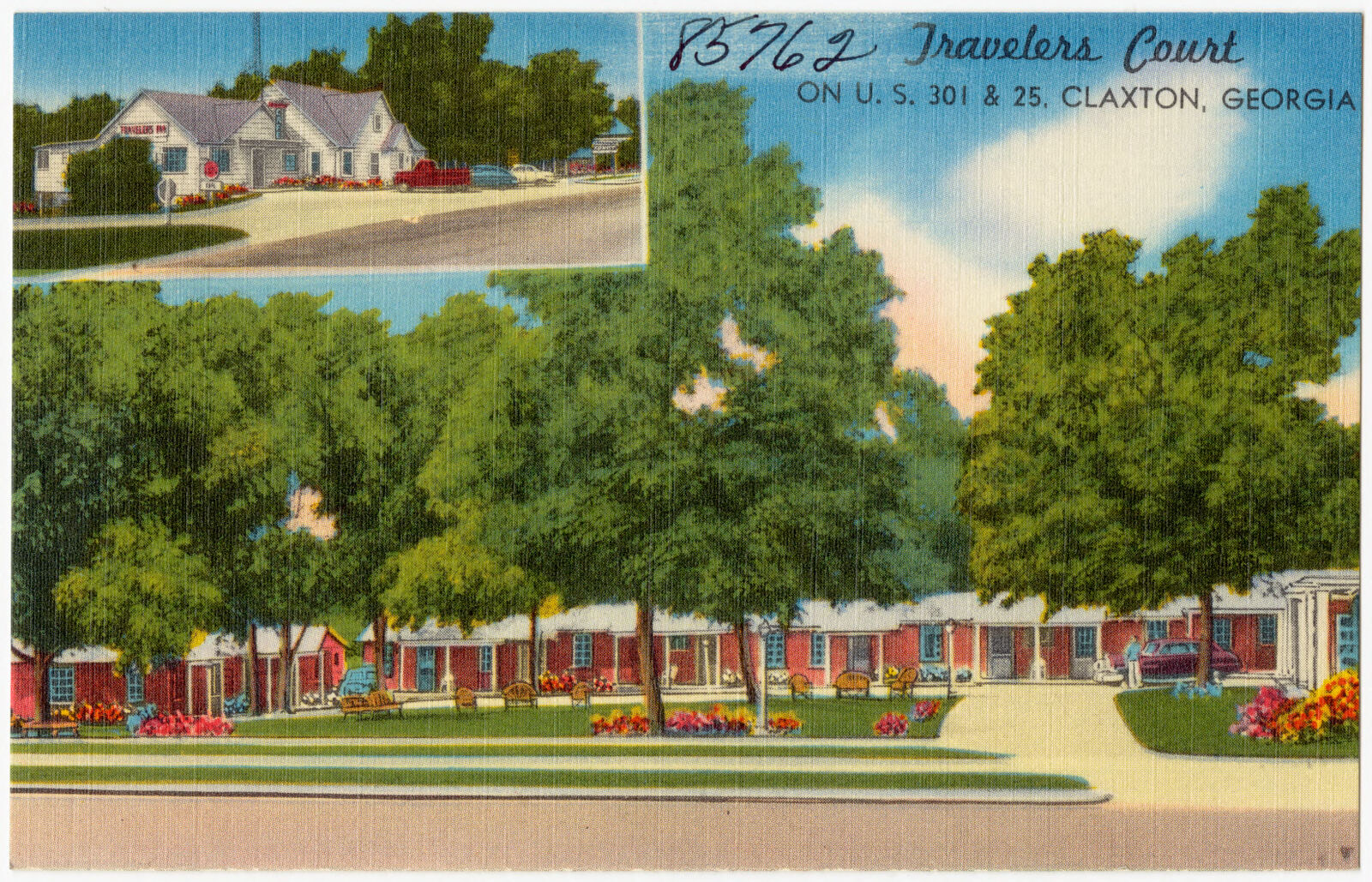
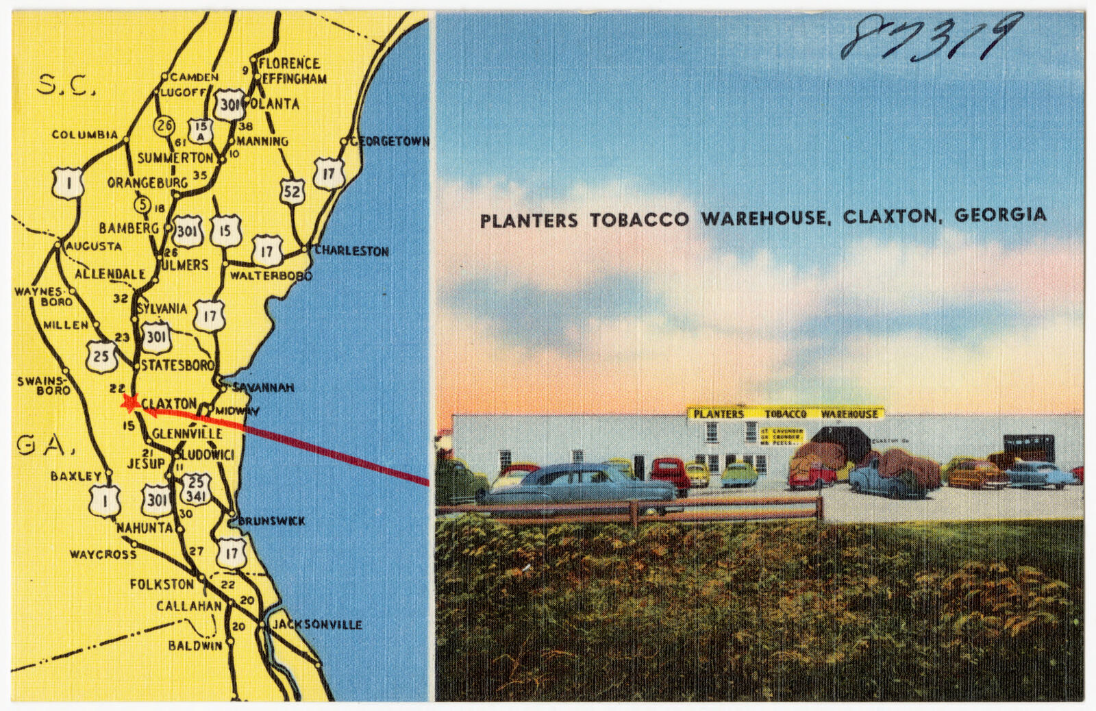
Selected from the Digital Public Library of America's 4 image records catalogued for this county. Every one shown here carries a public-domain status or a licence that permits reuse on a site that carries advertising; non-commercial, share-alike and restricted images are excluded. The selection is spread across the county's towns (at most eight per town), so no single institution's bulk upload crowds out the rest. Each opens the holding library's record, and the complete set at the Digital Public Library of America is one click away.

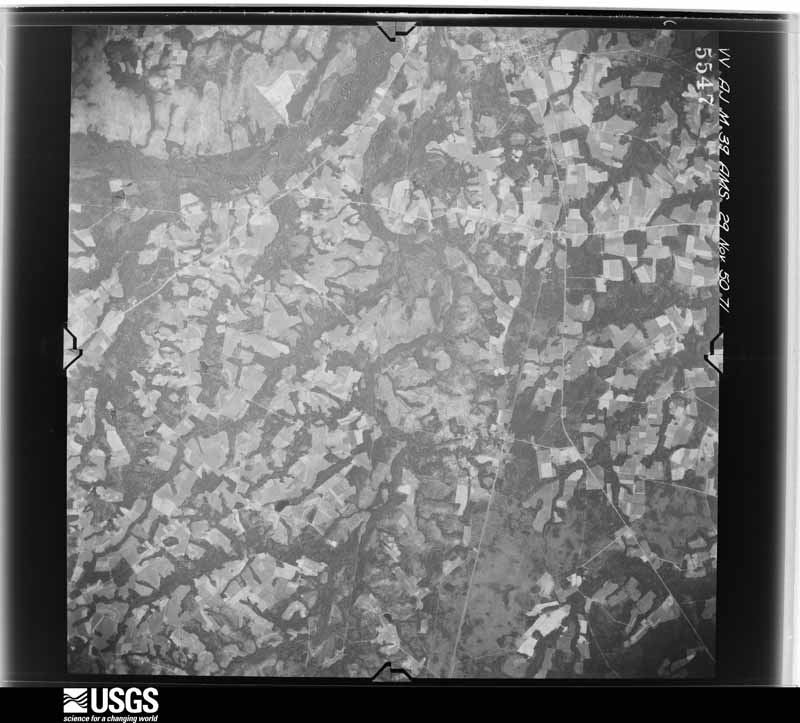
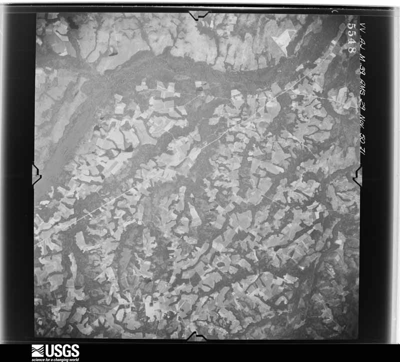
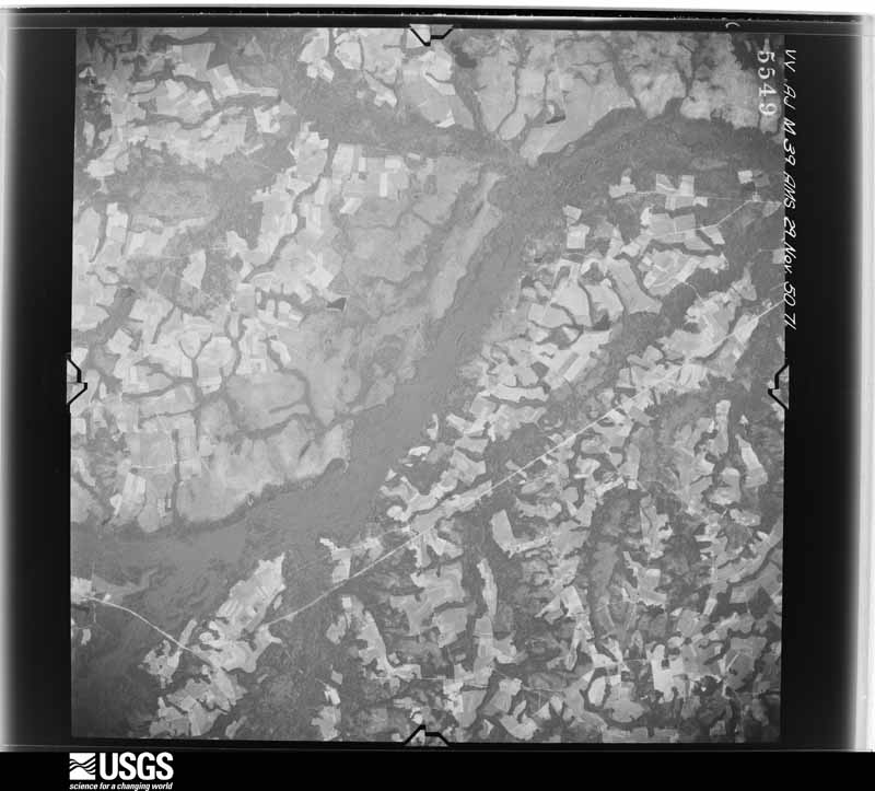
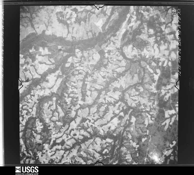
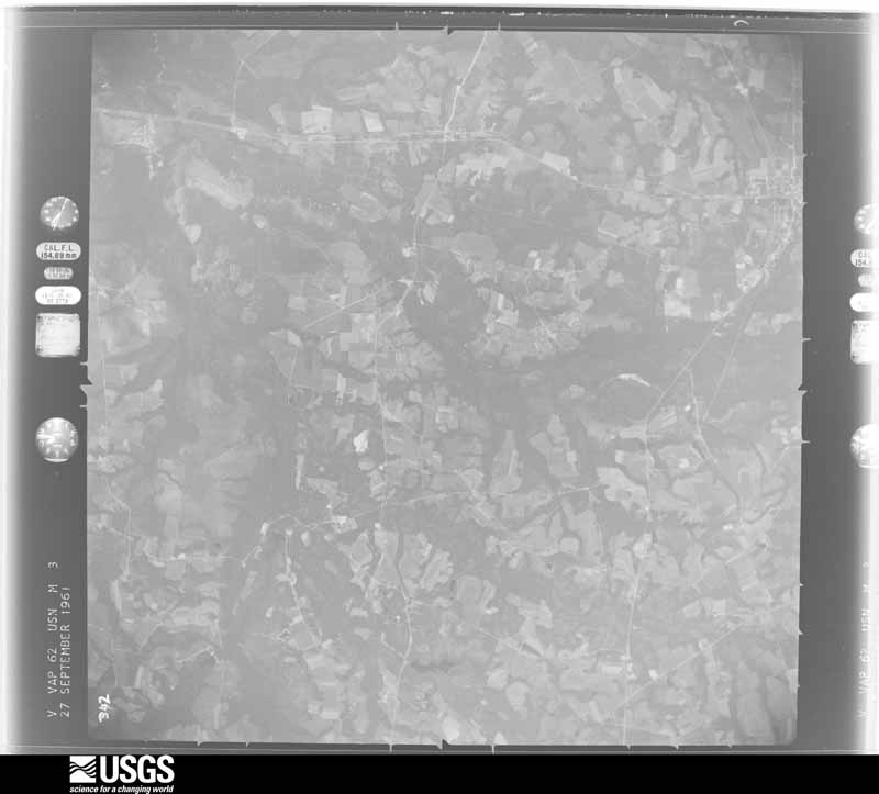
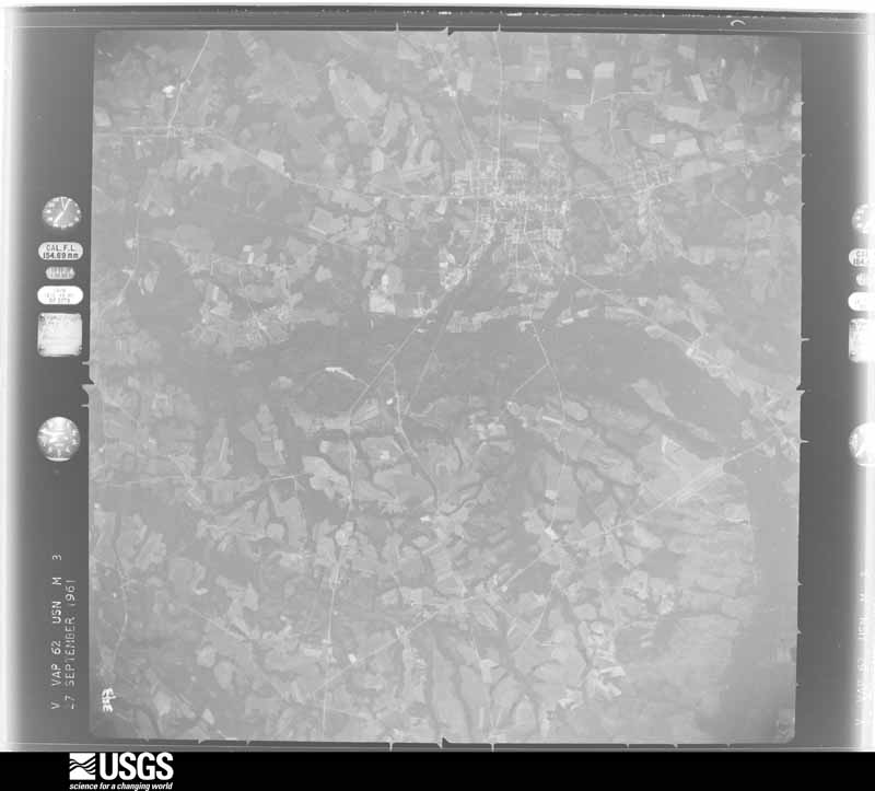
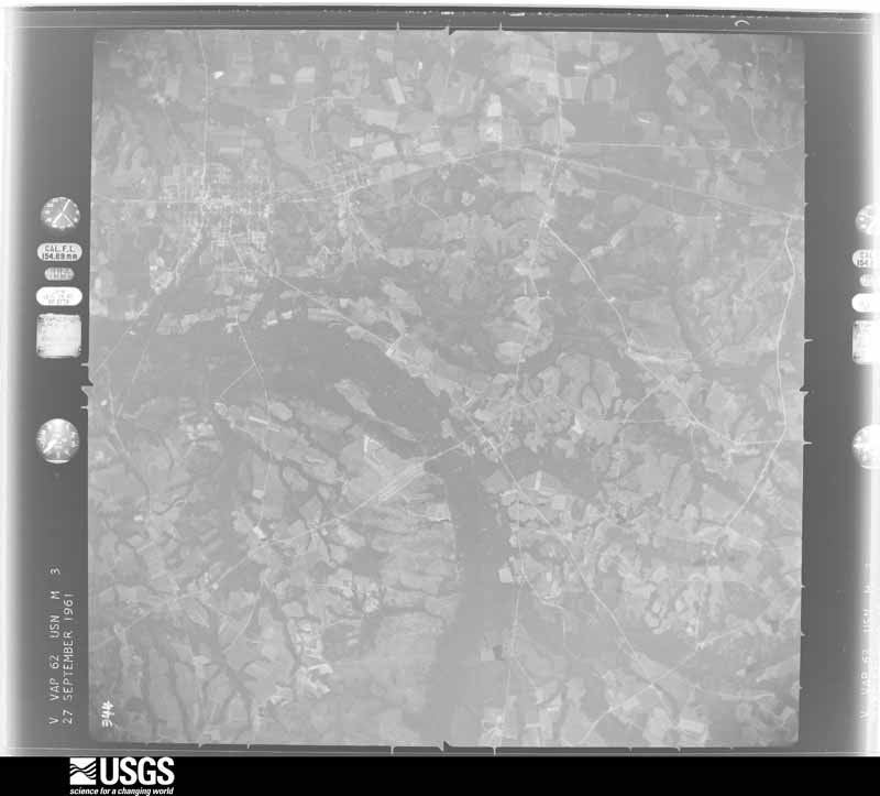
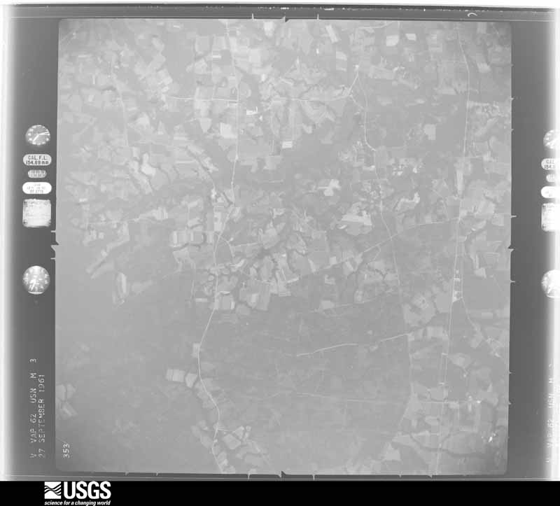
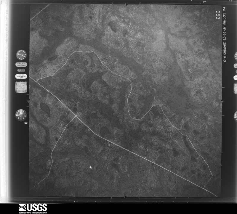
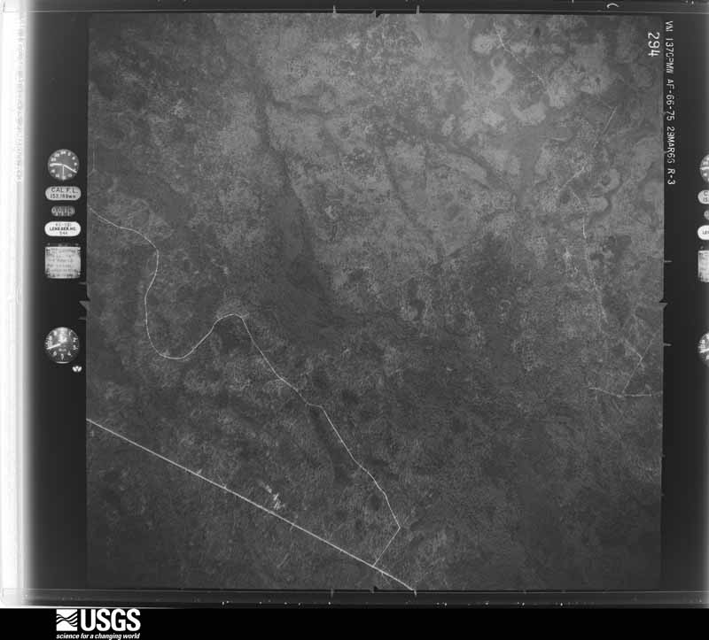
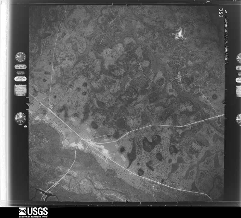
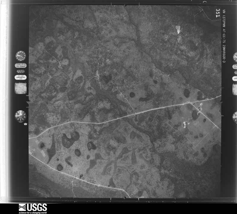
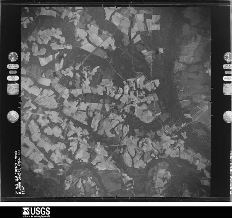
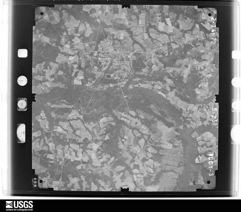
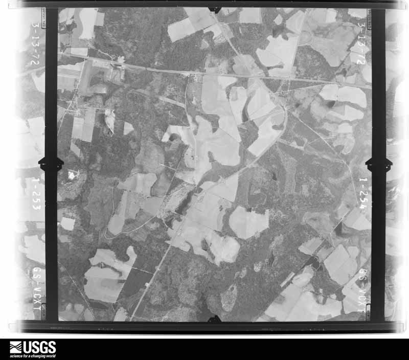
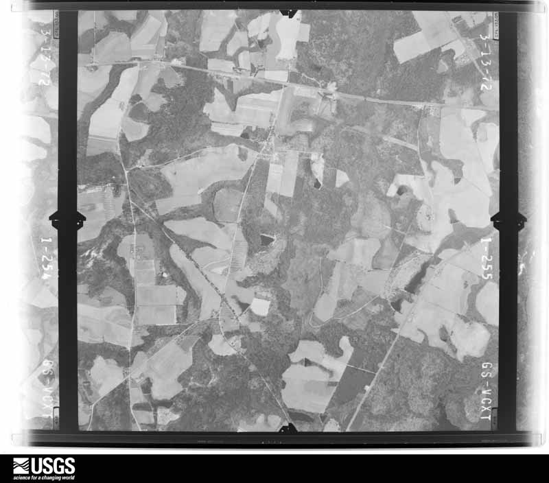
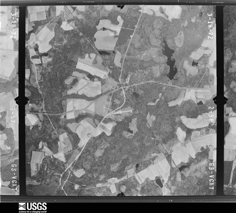
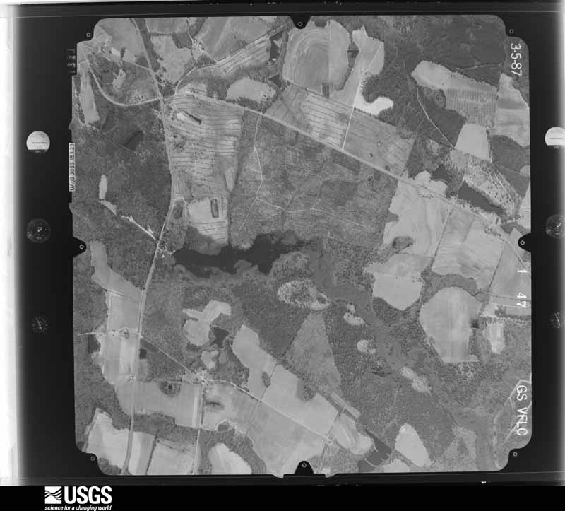
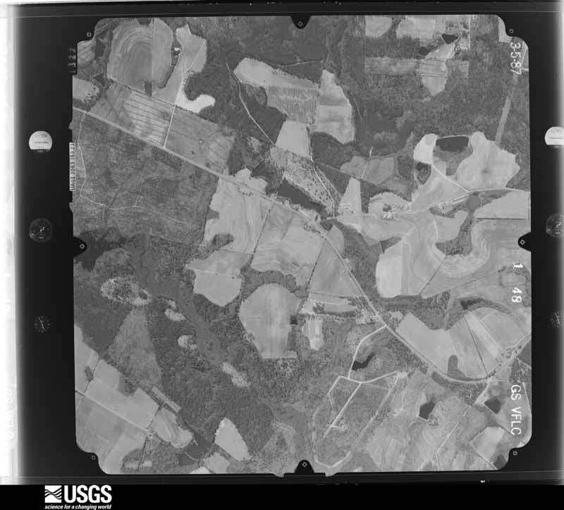
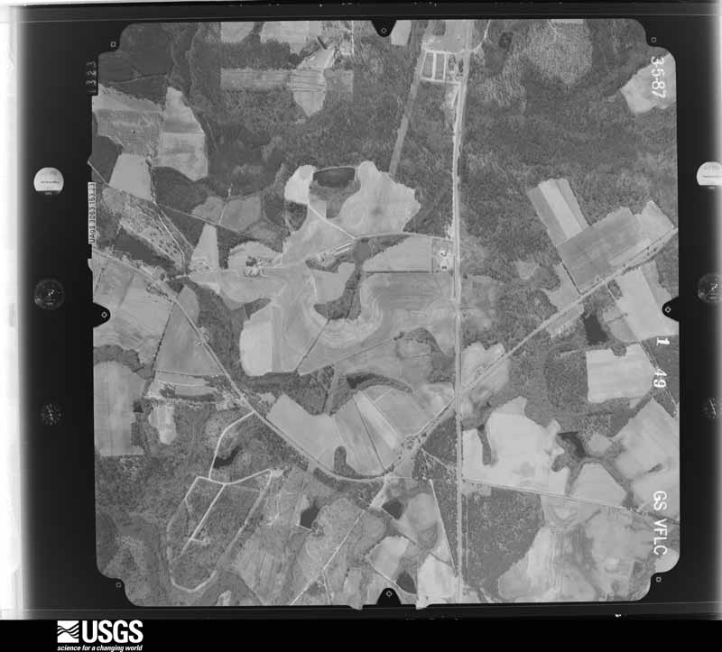
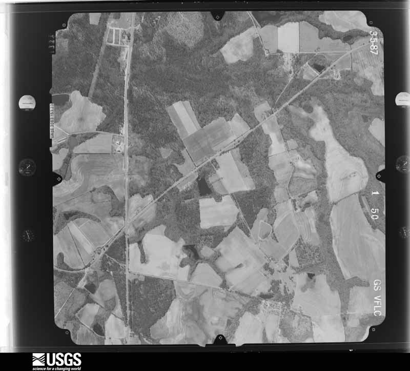
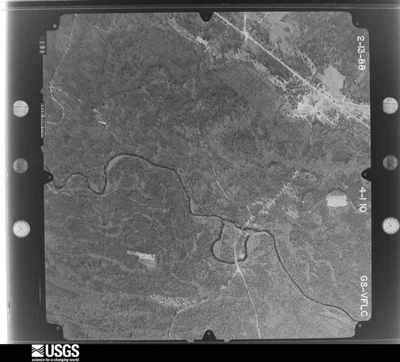
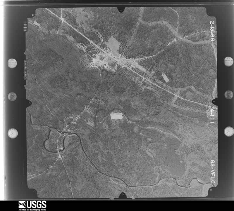
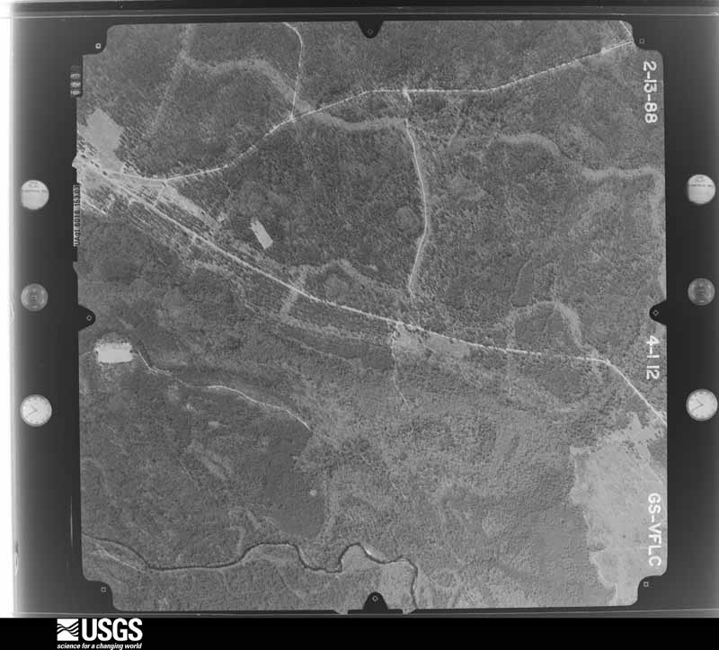
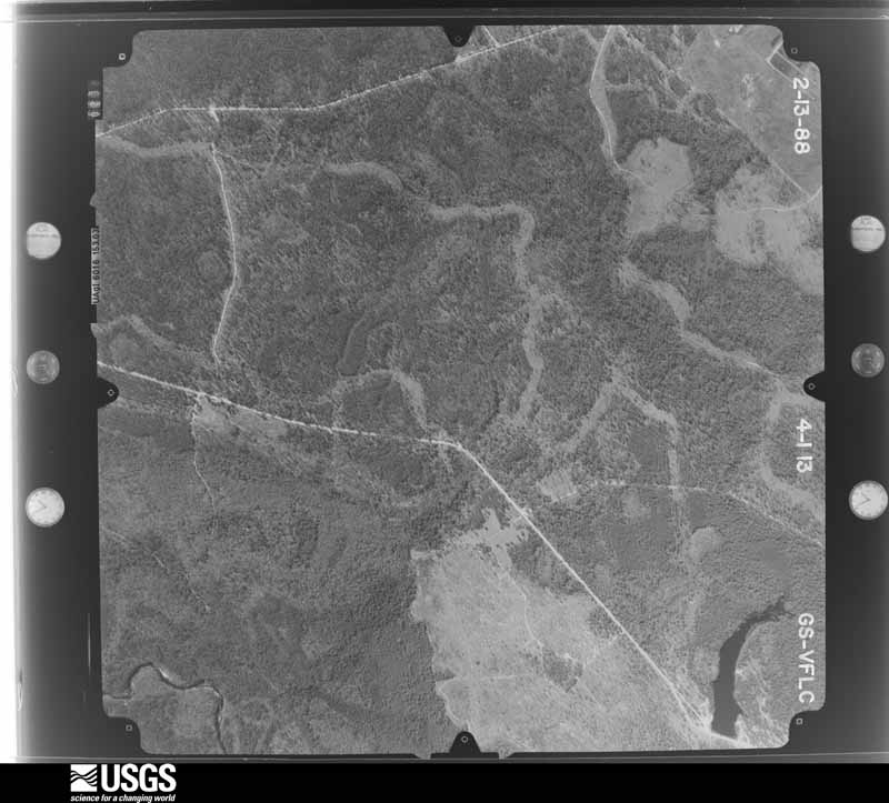
Flown by the U.S. Geological Survey between 1937 and 1989, the Aerial Photo Single Frames collection is the definitive mid-century view of the land: fields, roads and rivers as the camera saw them. The Survey holds 581 frames inside the rectangle that bounds this county; the 41 frames below were taken over the county itself, chosen across the decades of flights (at most four a year from that rectangle), so one flight cannot crowd out the rest. The full set is free to browse and download at EarthExplorer under the dataset Aerial Photo Single Frames.

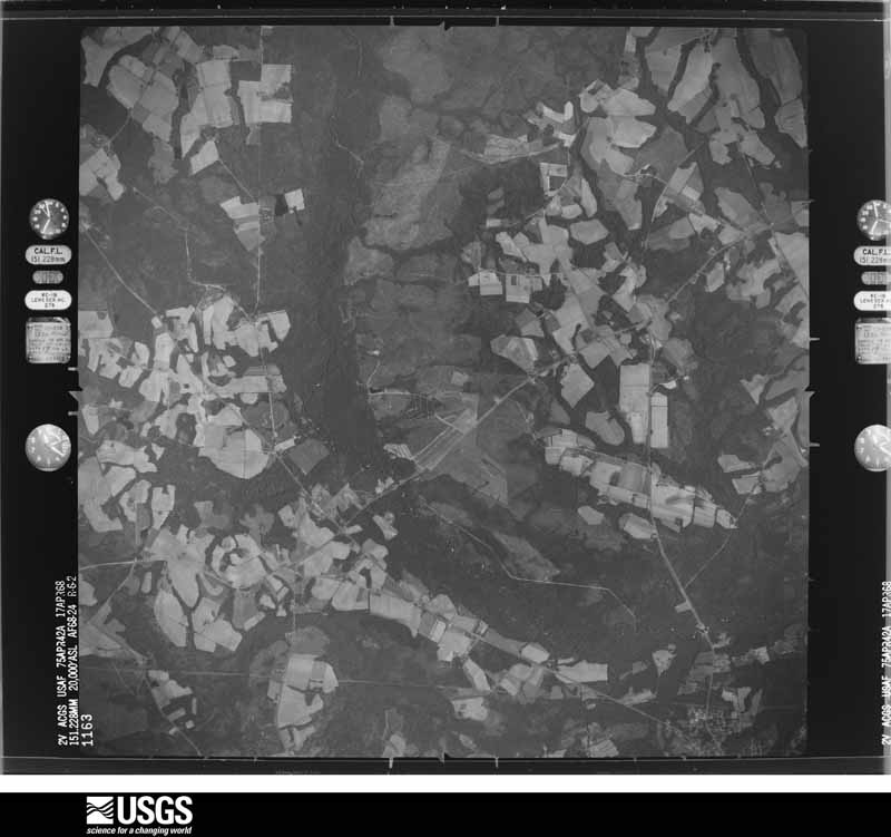
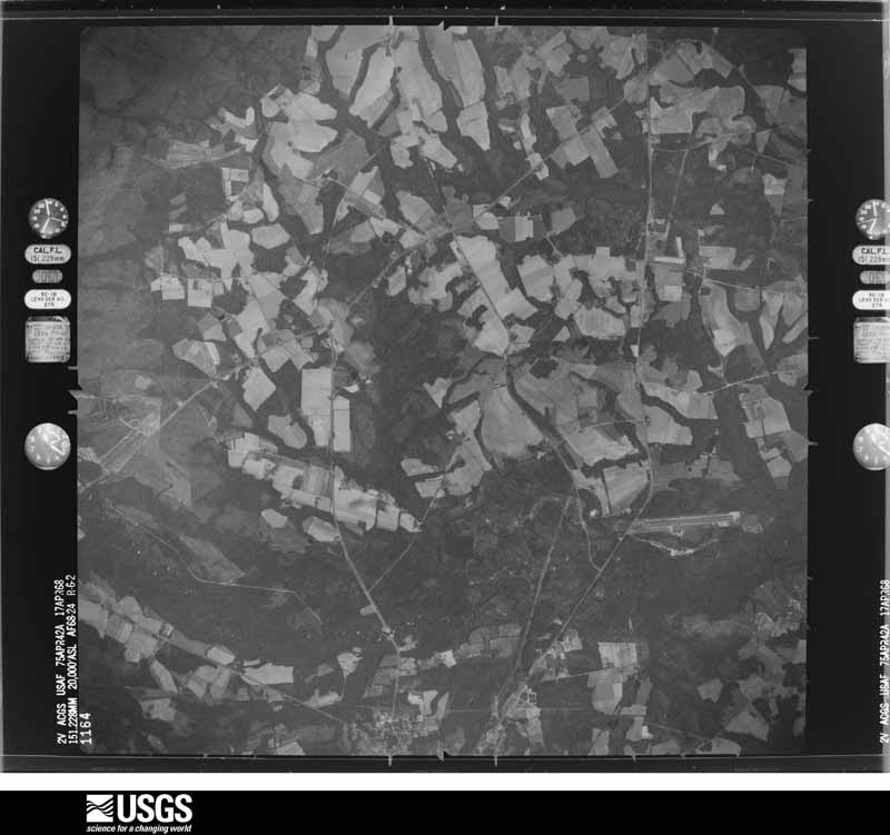
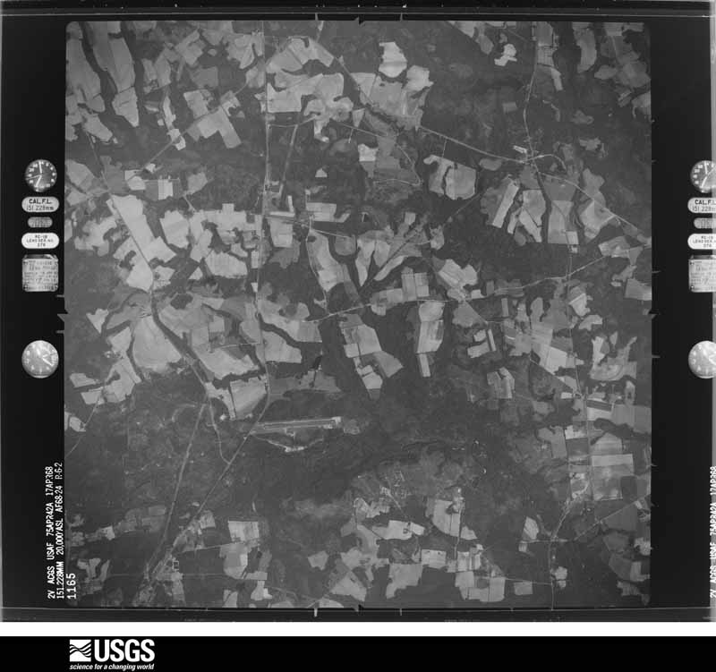


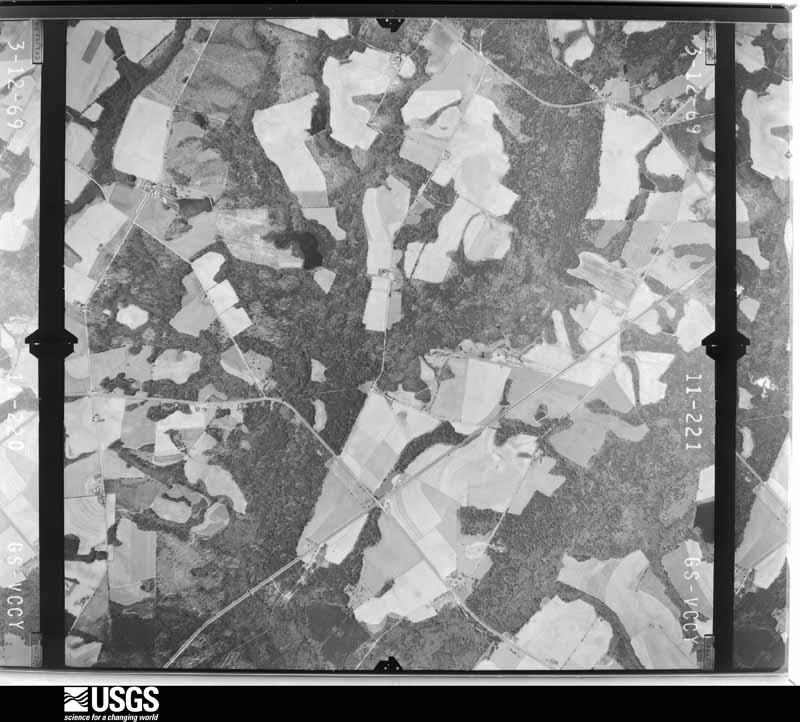









The thermometers that kept this county's weather, and the gages that measured the flow of its streams, as the federal records hold them. The extremes below are measured values from those records, not estimates.
Who lived here in 1950, one enumeration district at a time, as the Census Bureau described each district. Each row opens its official National Archives result, with Population Schedules and ED Maps available there.
Every wildfire the federal occurrence database records inside this county: 1,044 of them, burning about 2,896 acres. 53 started naturally and 163 were recorded as arson. Each settlement page carries the fires within five miles of it.
| Reported cause | Fires |
|---|---|
| Debris and open burning | 601 |
| Arson/incendiarism | 163 |
| Equipment and vehicle use | 62 |
| Natural | 53 |
| Missing data/not specified/undetermined | 51 |
| Misuse of fire by a minor | 42 |
| Smoking | 36 |
| Recreation and ceremony | 28 |
| Railroad operations and maintenance | 8 |
The five largest, by the area the report gives. Two of them were set deliberately.
| Date | Cause | Size | Reported by | Name on the report |
|---|---|---|---|---|
| 2 June 2002 | Arson/incendiarism | 103 acres | Georgia Forestry Commission | FY2002-EVANS-058 |
| 12 March 2005 | Missing data/not specified/undetermined | 96 acres | Georgia Forestry Commission | not named |
| 5 February 2001 | Smoking | 95 acres | Georgia Forestry Commission | FY2001-EVANS-031 |
| 5 March 2005 | Debris and open burning | 62 acres | Georgia Forestry Commission | not named |
| 10 February 1996 | Debris and open burning | 52 acres | Georgia Forestry Commission | not named |
| 7 August 2008 | Natural | 50 acres | Georgia Forestry Commission | not named |
| 14 February 1996 | Arson/incendiarism | 46 acres | Georgia Forestry Commission | not named |
| 25 February 2002 | Debris and open burning | 44 acres | Georgia Forestry Commission | FY2002-EVANS-040 |
Every settlement page carries the fires within five miles of it - see the settlement index below.
The NOAA Storm Events Database holds 164 reports for this county, causing no deaths, 3 injuries and about $233,000 in recorded property damage. Each settlement page carries the reports that name it.
| Kind of event | Reports |
|---|---|
| Thunderstorm Wind | 124 |
| Hail | 26 |
| Flash Flood | 7 |
| Tornado | 4 |
| Lightning | 1 |
| Flood | 1 |
| Winter Storm | 1 |
The most serious of them, by death, then injury, then recorded damage. The accounts are quoted exactly as the forecast office filed them.
| When | Event | Place named | Harm | What the report says |
|---|---|---|---|---|
| March 1974 | Tornado (F1) | not stated | 2 hurt, $25,000 | no account filed |
| August 2009 | Lightning | Bellville | 1 hurt | Law Enforcement reported that a student was struck by lightning during football practice in Bellville, Georgia. The individual was taken to a hospital and was reported to be in stable condition. |
| January 2024 | Tornado (EF1) | Bellville | $100,000 | An official NWS storm survey confirmed a EF-1 tornado in Evans County. The tornado began in a very rural portion of southern Evans County near Bay Branch Church Road where it snapped one small tree and uprooted another. The tornado then continued toward the northeast where it snapped and uprooted more than a dozen pecan trees just north of County Road 43. The tornado strength was estimated to be EF-1 at this point, with maximum winds of 95 to 100 mph. The tornado continued to periodically snap and uproot trees as it moved near the intersection of County Road 43 and Level Road, and then near the intersection of Cleve Hagan and Perry Roads. As the tornado moved across the marshy area of Bull Creek, it seemed to increase in intensity. Once it reached just east of Perry Road and north of Bull Creek, it snapped and uprooted dozens of mostly pine trees across a large wooded area of a private residence. In this area it also uplifted the roof of a steel outbuilding and destroyed the garage door. Maximum wind speeds in this area were estimated to be near 100 mph. The tornado continued northeast, crossing near the intersection of Frances Road and Deer Run Trail, where it destroyed a small wooden storage building. The tornado ended in a filed on the east side of Deer Run Trail where it destroyed a pivot irrigation system. |
| August 2006 | Thunderstorm Wind | Claxton | $25,000 | Building sustained heavy roof damage on Anderson Avenue in Claxton. |
| September 2010 | Thunderstorm Wind | Daisy | $10,000 | The Evans county Emergency Manager conducted a damage survey and found an old barn was blown over and several 3 to 4 inch diameter tree limbs from pecan trees were knocked down. All the damage was positioned lying in the same direction, and as a result it was determined that the damage was due to straight line winds from a thunderstorm downburst. The damage observed was consistent with wind speeds near 65 mph. Several trees were also reported down in sporadic locations within 1 mile of this location. |
| April 2008 | Flash Flood | Claxton | $10,000 | The Evans County Sheriffs office reported major flooding in and around Claxton, Georgia. Flooding was reported on Highway 301, Highway 280, and Highway 292. Several motorists were stranded in their vehicles and a few residents along Lights Drive were stranded in their homes. Additionally a few ponds in the area had overflown their banks, further exacerbating the flooding problems. All officers from the Evans County Sheriffs office were dispatched to block the flooded intersections in and around Claxton, Georgia. |
| June 1995 | Thunderstorm Wind | Claxton | $8,000 | Thunderstorm winds knocked down large tree limbs, causing scattered power outages. |
| December 2018 | Flood | Bellville | $7,500 | An emergency manager reported Allen Sikes Road, a dirt road, being washed out from recent rain. |
| August 2006 | Thunderstorm Wind | Claxton | $5,000 | Trees down in Claxton |
| June 1994 | Thunderstorm Wind | Claxton | $5,000 | Several large trees and power lines were downed by thunderstorm winds. |
| June 2007 | Thunderstorm Wind | Daisy | $4,000 | Numerous large Trees and Power lines down. |
| June 2011 | Thunderstorm Wind | Claxton | $3,000 | Law enforcement reported 3 trees down along Highway 280 East. |
| March 1974 | Tornado (F1) | not stated | $2,500 | no account filed |
| April 2014 | Thunderstorm Wind | Hagan | $2,000 | Evans County Dispatch reported a tree down at the 2300 block of Jennie Station Road. A Telephone line was reported down in the same area. |
| August 2011 | Thunderstorm Wind | Claxton Evans Co Arp | $2,000 | The public reported trees down along Highway 301 North. |
| May 2008 | Thunderstorm Wind | Claxton | $2,000 | Two trees were reported down on power lines on Easton Road and Metter Highway. |
| August 2006 | Thunderstorm Wind | Claxton | $2,000 | Several large trees down and part of a roof twisted off a house. |
| May 2009 | Thunderstorm Wind | Bellville | $1,500 | Law enforcement reported trees down on Romie Thompson Road 2 miles southwest of Hagan, Georgia. |
| June 2023 | Thunderstorm Wind | Claxton | $1,000 | A sheriff reported 1 tree down on Stewart Sreet in Claxton. |
| June 2023 | Thunderstorm Wind | Daisy | $1,000 | A 911 call center reported a tree down near the intersection of Highway 129 and Old Highway 250. |
| January 2013 | Thunderstorm Wind | Daisy | $1,000 | Evans County 911 Center reported a large trampoline had blown from back yard onto Highway 280. |
| July 2012 | Thunderstorm Wind | Claxton Evans Co Arp | $1,000 | The Evans County 911 Center relayed a report of 1 tree down along Tippins Road. |
| November 2011 | Thunderstorm Wind | Claxton | $1,000 | The Evans County Warning Point reported a tree down on Clark Street, 1 mile west northwest of Claxton. |
| June 2011 | Thunderstorm Wind | Daisy | $1,000 | A 911 center reported a tree down near the intersection of Sunbury Road and Red Mill Road. |
| October 2011 | Thunderstorm Wind | Claxton | $1,000 | A large pine tree was reported down and across Leah Road. |
| August 2010 | Thunderstorm Wind | Daisy | $1,000 | Law enforcement reported a tree down on South Rogers Road. |
| June 2009 | Thunderstorm Wind | Claxton | $1,000 | Law enforcement reported a tree down on Kennedy Bridge Road. |
| May 2008 | Thunderstorm Wind | Hagan | $1,000 | One tree was reported down on a power line in Claxton, Georgia. |
| August 2008 | Thunderstorm Wind | Claxton | $1,000 | The broadcast media relayed a report of two trees knocked down by strong thunderstorm winds. |
| July 2016 | Thunderstorm Wind | Claxton Evans Co Arp | $500 | Evans County dispatch reported a tree down near the intersection of Highway 301 and Highway 169 north of Claxton. |
| May 2012 | Thunderstorm Wind | Daisy | $500 | A report of a pecan tree blown down. |
| March 2011 | Thunderstorm Wind | Claxton Evans Co Arp | $500 | Law Enforcement reported a tree down at the intersection of Hendrix Bridge Road and Highway 169, approximately 4 miles north-northwest of Claxton, Georgia. |
| July 2009 | Thunderstorm Wind | Claxton Evans Co Arp | $500 | The Evans County Warning Point reported a tree down along Hendrix Bridge Road near Claxton, Georgia. |
| July 2009 | Thunderstorm Wind | Claxton Evans Co Arp | $500 | The Evans County Warning Point reported a tree down on a power line along Tellie Aikins Road near Claxton, Georgia. |
| May 2009 | Thunderstorm Wind | Daisy | $500 | The Evans county Warning Point relayed a report of a tree down on Daisy-Nevils Highway in Daisy, Georgia. |
| February 2008 | Thunderstorm Wind | Claxton | $500 | A tree was reported down on Route 129. |
| February 2008 | Thunderstorm Wind | Claxton | $500 | A power line was reported down in Claxton, Georgia. |
| June 2008 | Thunderstorm Wind | Claxton | $500 | A small pecan tree was reported down along Route 73 in Claxton, Georgia. |
| July 2007 | Thunderstorm Wind | Claxton Evans Co Arp | $500 | One tree was reported down on Charlie Homes Road. |
| June 2007 | Thunderstorm Wind | Claxton Evans Co Arp | $500 | A tree fell on Highway 169 about 0.12 miles west of Highway 301 north. |
| June 2007 | Thunderstorm Wind | Claxton | $500 | A tree was blown down off of Johnson Lane in the Claxton city limits. |
| July 2007 | Thunderstorm Wind | Claxton | $500 | Large tree limbs were reported down off of Metter Highway 129 N. |
| August 2007 | Thunderstorm Wind | Daisy | $500 | One tree was reported down on Daisy-Nevils Highway in Daisy. |
| June 1994 | Thunderstorm Wind | Claxton | $500 | A few large pine trees were downed by thunderstorm winds. |
| June 2025 | Thunderstorm Wind | Claxton Evans Co Arp | - | The Evans County 911 Call Center reported a tree down along Shady Oak Lane. |
| June 2025 | Thunderstorm Wind | Claxton Evans Co Arp | - | The Evans County 911 Call Center reported a tree down near the intersection of Barrow Bay Road and Leah Road. |
| June 2025 | Thunderstorm Wind | Claxton Evans Co Arp | - | The Evans County 911 Call Center reported a tree down on Burkhalter Drive. |
| June 2025 | Thunderstorm Wind | Bellville | - | The Evans County 911 Call Center reported a tree down on Wilton Threatt Road. |
| June 2025 | Thunderstorm Wind | Daisy | - | The Evans County 911 Call Center reported a tree down along Carson Sands Road. |
| January 2025 | Winter Storm | not stated | - | Widespread 5 to 6 inches of snow across Dodge County. Travel quickly became very dangerous as roads were icy and snow-packed. |
| May 2024 | Thunderstorm Wind | Claxton | - | Evans County dispatch reported a tree down near the intersection of Highway 129 and Cedar Creek Road. |
| May 2024 | Thunderstorm Wind | Claxton | - | Evans County dispatch reported two trees down in Claxton. One tree was down on N Grady Street and the other was down on W James Street. |
| May 2024 | Thunderstorm Wind | Claxton | - | Evans County dispatch reported a tree down near the intersection of Highway 280 and Recreation Department Road. |
| May 2024 | Thunderstorm Wind | Hagan | - | Evans County dispatch reported a tree down near the intersection of Tom McCall Road and Jennie Station Road. |
| May 2024 | Thunderstorm Wind | Daisy | - | Evans County dispatch reported a tree down near the intersection of Highway 280 and George Strickland Road. |
| May 2024 | Thunderstorm Wind | Daisy | - | Evans County dispatch reported a tree down near the intersection of Daisy Nevils Highway and Edgar Hodges Road. |
| August 2024 | Flash Flood | Claxton | - | A Evans County emergency manager reported water entering 3 homes in Claxton due to heavy rainfall. One home was on Turnpike Road near Perkins Mill Road where a family had to be rescued from the residence. Another of the flooded homes was in the 300 Block of North Ralph Street. |
| August 2024 | Flash Flood | Hagan | - | A Evans County emergency manager provided drone video of a dam breach on Smith Brothers Lake, located just west of Perry Road and south of Edgar Griffin Road. The 85 acre lake was overflowing and Perry Road was closed due to unsafe travel conditions. The overtopping of water started during early morning hours. |
| June 2023 | Thunderstorm Wind | Bellville | - | A 911 call center reported a tree down on Hugh Brewton Road north of Bellville. |
| June 2023 | Thunderstorm Wind | Bellville | - | A 911 call center reported a tree and debris in roadway at the intersection of Kennedy Bridge Road and Highway 129 South. |
The Survey's mineral resources record lists 1 working inside this county. It still produces. Each settlement page carries the workings within five miles of it.
| Commodity | Workings |
|---|---|
| Sand and Gravel, Construction | 1 |
The least common of them first, because a county's hundredth gravel pit says nothing its first ten did not.
| Where | Site | Commodity | Status | Recorded |
|---|---|---|---|---|
| Daisy Mine | Sand and Gravel, Construction | Producer |
Named settlements recorded in the Geographic Names Information System, each with the topographic sheets covering it. Villages, hamlets and abandoned places alike. Each is shown with the nearest named watercourse or landform and the survey quadrangle it falls on. The 1 place that was also surveyed for fire insurance comes first, with the number of atlases and photographs held for them.
Claxton census division · 30417 · On Cedar Creek · Claxton quadrangle
18 sheets, 1919 to 1981
Fire insurance: 3 atlases
North Evans census division · 30417 · On Scott Creek · Daisy quadrangle
19 sheets, 1919 to 1981
Claxton census division · 30417 · On Grice Creek · Deans Crossing quadrangle
19 sheets, 1919 to 1981
Claxton census division · 30417 · On Rocky Branch · Daisy quadrangle
19 sheets, 1919 to 1981
Claxton census division · 30417 · On Little Bull Creek · Daisy quadrangle
19 sheets, 1919 to 1981
No longer a settlement
North Evans census division · 30417 · On Dry Creek · Claxton quadrangle
18 sheets, 1919 to 1981
The vanished settlements of Evans County: the places named above that are no longer on the map.
18 topographic sheets and 3 fire insurance atlases, 1917 to 1942