 Block
From the record
1 National Register listing published here.
Sources: the National Register database, National Park Service
36 topographic sheets cover 42 settlements here, and 1 property is on the National Register of Historic Places.
1 National Register listing published here.
Sources: the National Register database, National Park Service
Taken for the Office of War Information and the Farm Security Administration, who photographed the country between 1935 and 1944. Works of United States government photographers, with no known restriction on use. Each opens its catalogue record.
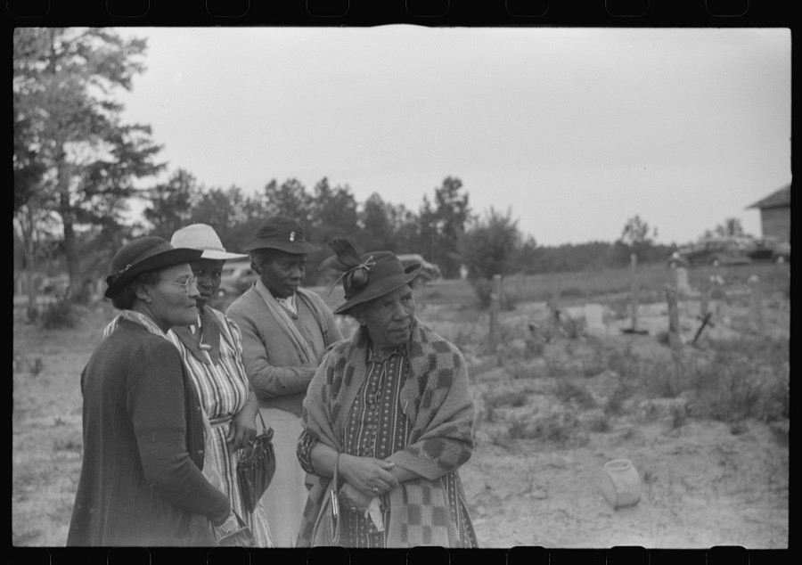
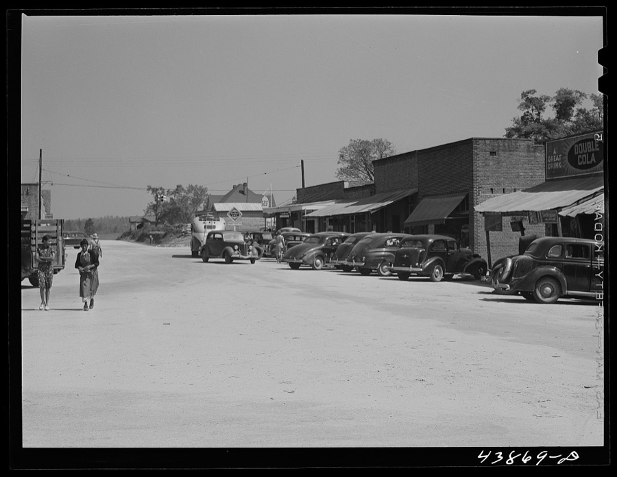


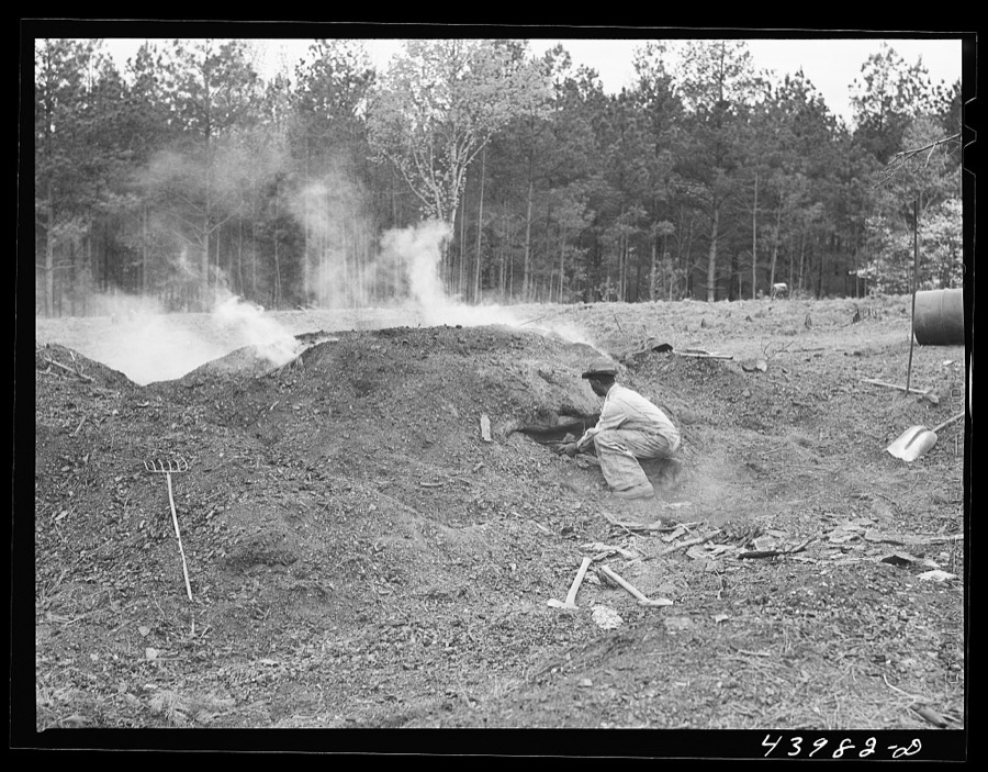

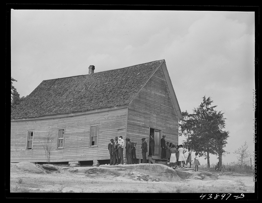

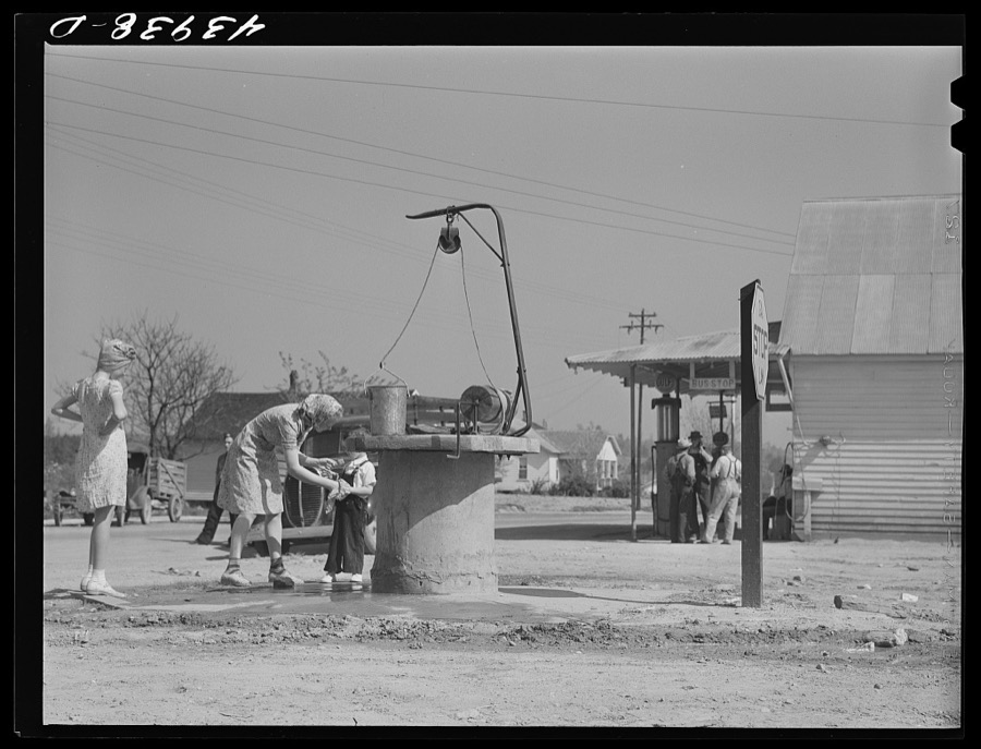
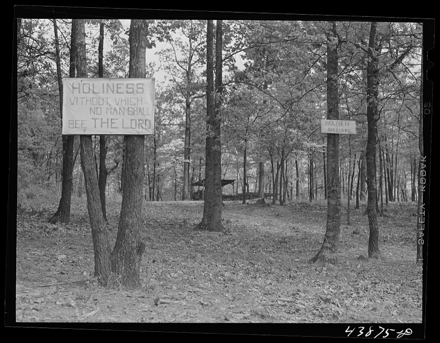
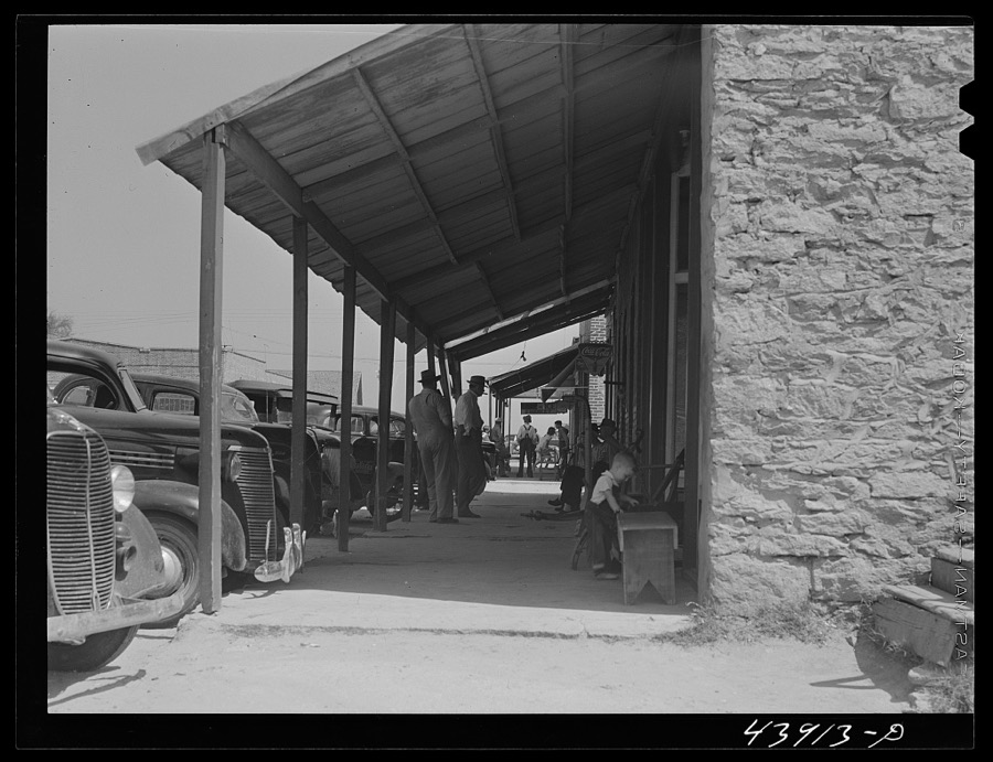





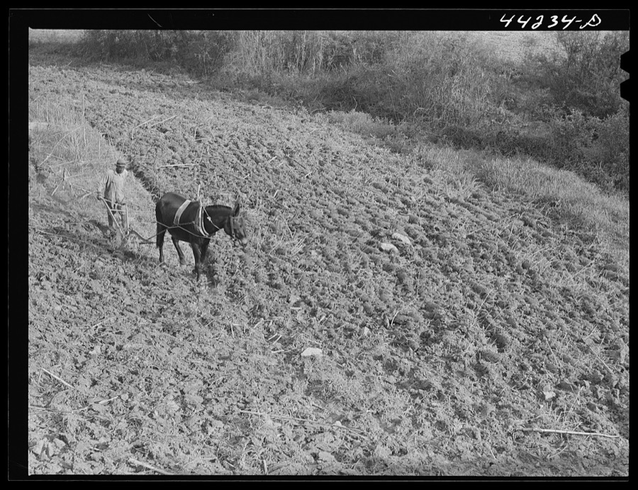





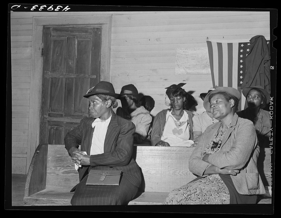
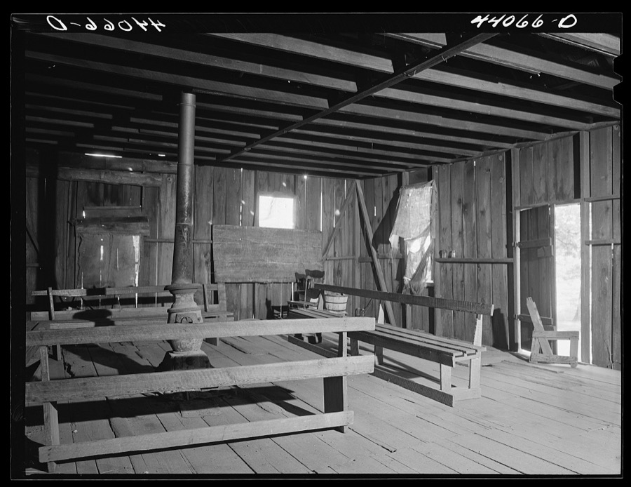


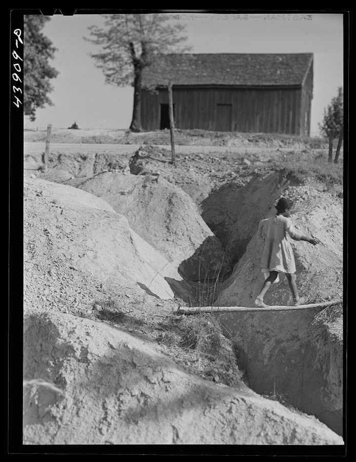

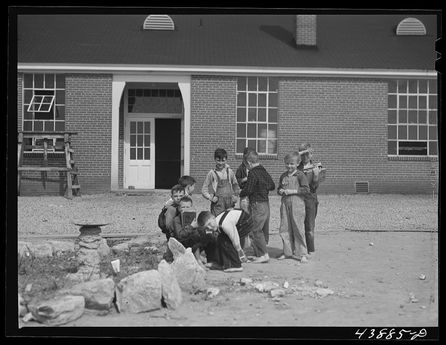
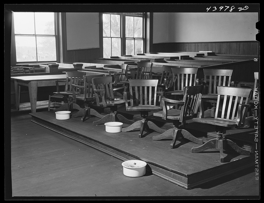

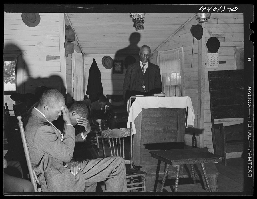







Every property in this county listed on the National Register of Historic Places, with the year it was listed and the federal nomination document.
| Photograph | Property | Type | Listed | Reference |
|---|---|---|---|---|
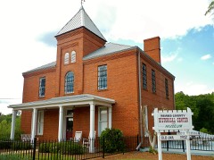 | Heard County Jail | building | 1981 | 81000199 |
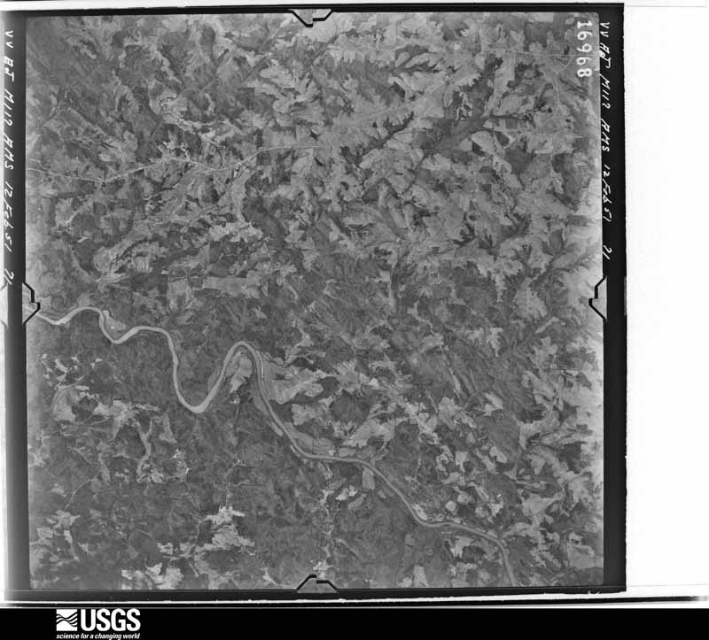
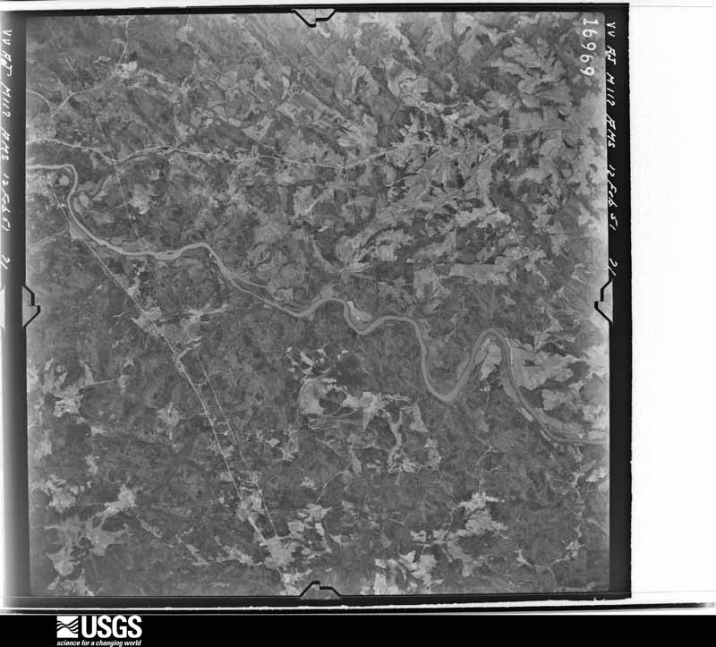
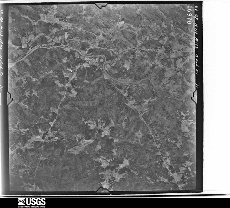
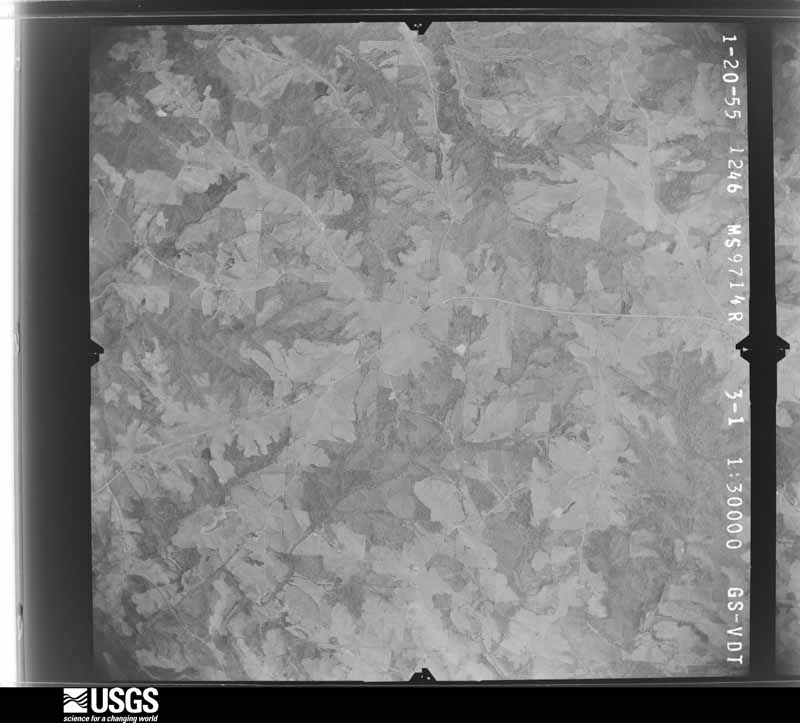
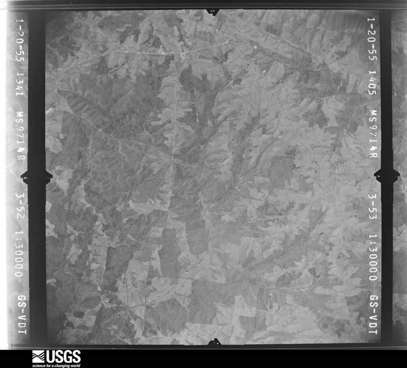
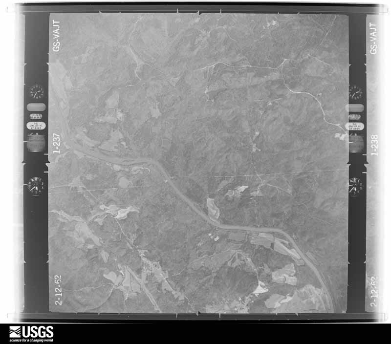
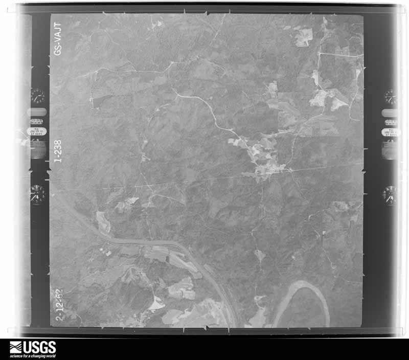
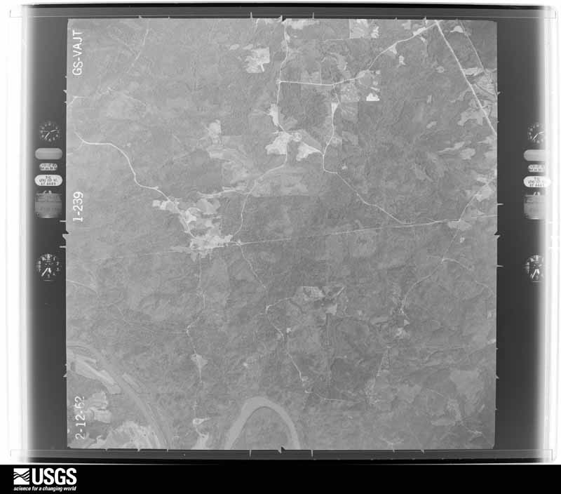
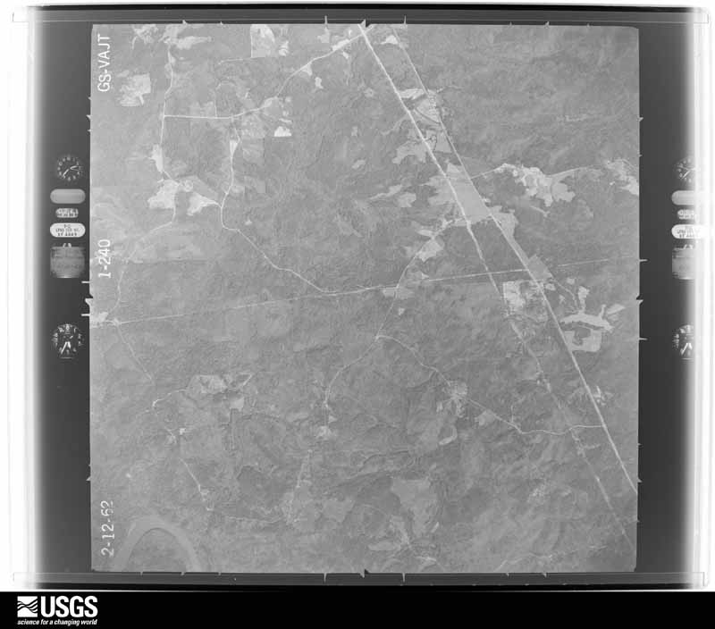
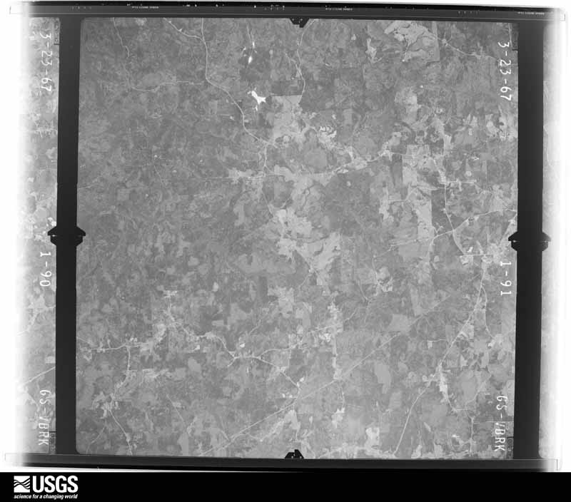
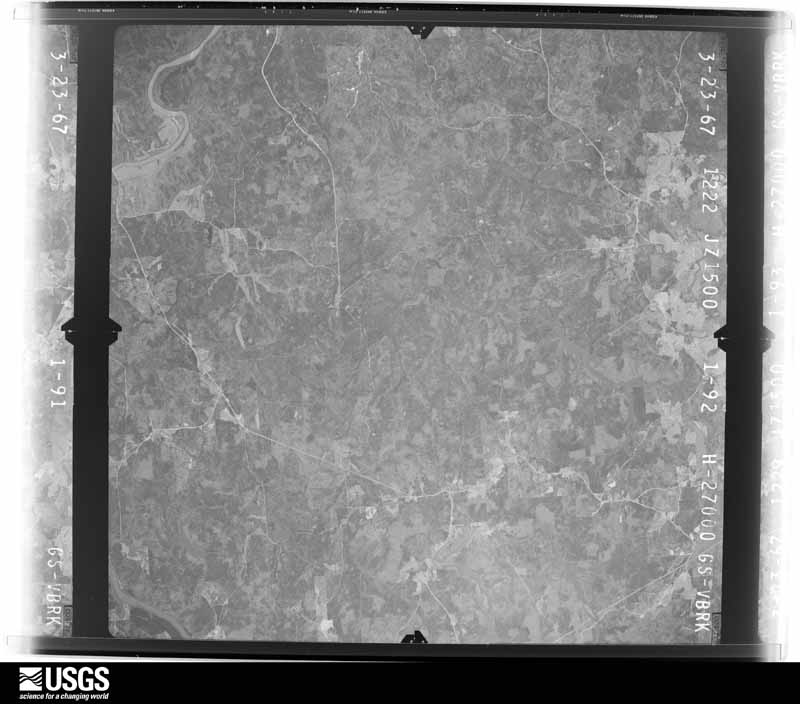
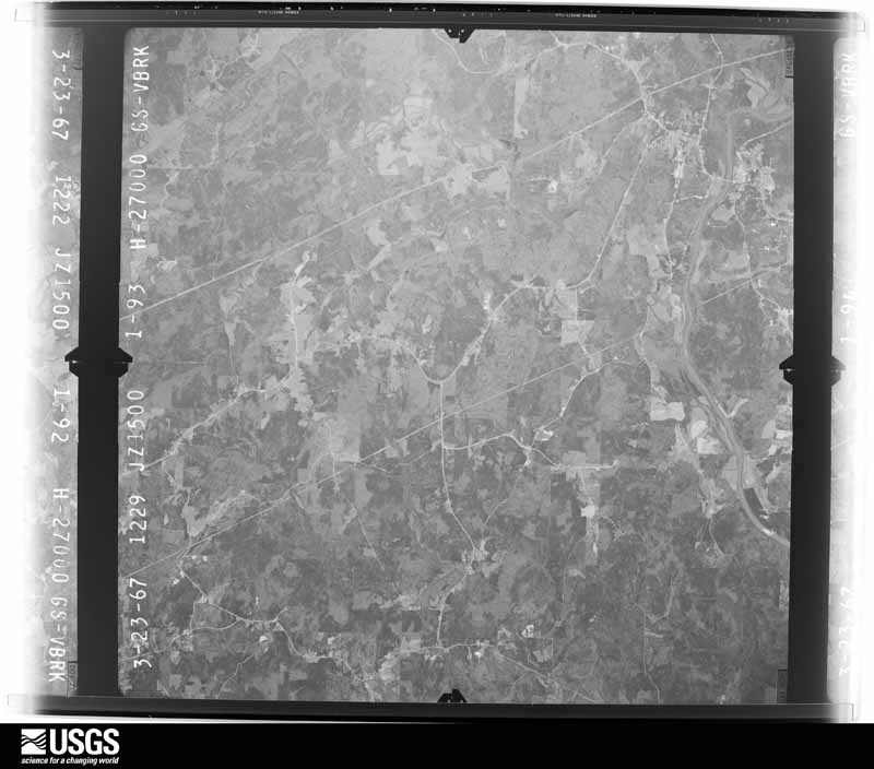
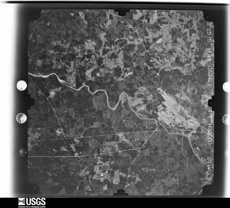
Flown by the U.S. Geological Survey between 1937 and 1989, the Aerial Photo Single Frames collection is the definitive mid-century view of the land: fields, roads and rivers as the camera saw them. The Survey holds 740 frames inside the rectangle that bounds this county; the 33 frames below were taken over the county itself, chosen across the decades of flights (at most four a year from that rectangle), so one flight cannot crowd out the rest. The full set is free to browse and download at EarthExplorer under the dataset Aerial Photo Single Frames.


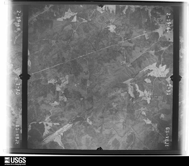
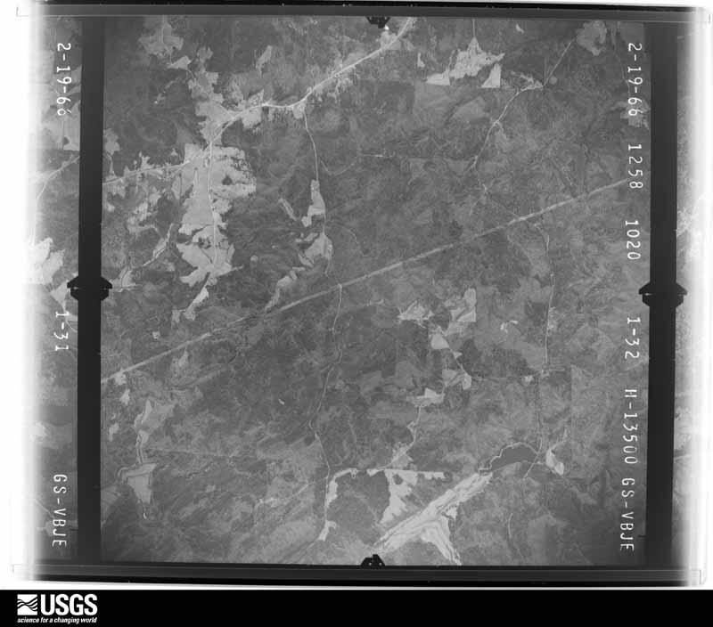
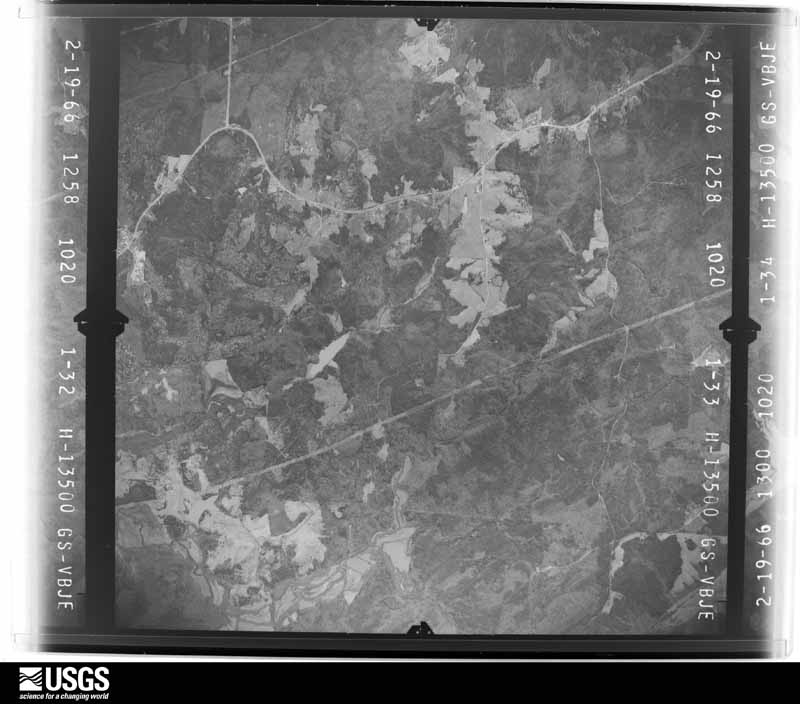
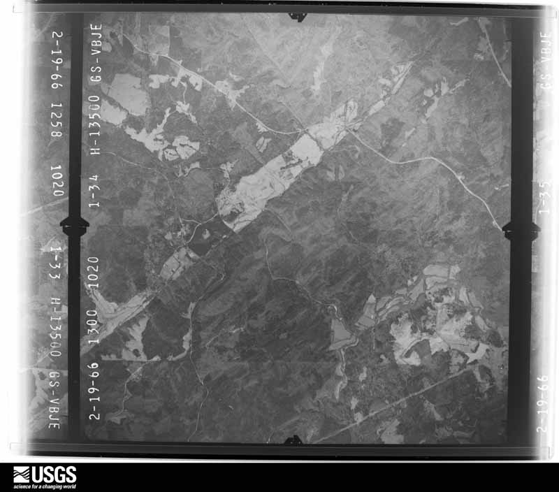














The thermometers that kept this county's weather, and the gages that measured the flow of its streams, as the federal records hold them. The extremes below are measured values from those records, not estimates.
Who lived here in 1950, one enumeration district at a time, as the Census Bureau described each district. Each row opens its official National Archives result, with Population Schedules and ED Maps available there.
Every wildfire the federal occurrence database records inside this county: 559 of them, burning about 4,315 acres. 23 started naturally and 87 were recorded as arson. Each settlement page carries the fires within five miles of it.
| Reported cause | Fires |
|---|---|
| Debris and open burning | 307 |
| Arson/incendiarism | 87 |
| Smoking | 44 |
| Misuse of fire by a minor | 31 |
| Missing data/not specified/undetermined | 29 |
| Equipment and vehicle use | 23 |
| Natural | 23 |
| Recreation and ceremony | 15 |
The five largest, by the area the report gives. Five of them were set deliberately.
| Date | Cause | Size | Reported by | Name on the report |
|---|---|---|---|---|
| 18 March 2015 | Arson/incendiarism | 342 acres | Georgia Forestry Commission | FY2015-HEARD-008 |
| 27 March 2014 | Debris and open burning | 93 acres | Georgia Forestry Commission | FY2014-HEARD-010 |
| 10 October 2019 | Arson/incendiarism | 92 acres | Georgia Forestry Commission | FY2020HEARD002 |
| 26 February 2007 | Debris and open burning | 90 acres | Georgia Forestry Commission | not named |
| 18 April 1996 | Debris and open burning | 89 acres | Georgia Forestry Commission | not named |
| 17 March 2002 | Arson/incendiarism | 80 acres | Georgia Forestry Commission | FY2002-HEARD-015 |
| 10 March 2001 | Arson/incendiarism | 80 acres | Georgia Forestry Commission | FY2001-HEARD-019 |
| 11 May 2015 | Arson/incendiarism | 76 acres | Georgia Forestry Commission | FY2015-HEARD-012 |
Every settlement page carries the fires within five miles of it - see the settlement index below.
The NOAA Storm Events Database holds 185 reports for this county, causing 1 death, 7 injuries and about $15,493,750 in recorded property damage. Each settlement page carries the reports that name it.
| Kind of event | Reports |
|---|---|
| Thunderstorm Wind | 95 |
| Hail | 60 |
| Tornado | 12 |
| Flash Flood | 7 |
| Lightning | 6 |
| Heavy Rain | 2 |
| Flood | 2 |
| Funnel Cloud | 1 |
The most serious of them, by death, then injury, then recorded damage. The accounts are quoted exactly as the forecast office filed them.
| When | Event | Place named | Harm | What the report says |
|---|---|---|---|---|
| March 1989 | Tornado (F2) | not stated | 1 killed, $2,500,000 | no account filed |
| August 2005 | Tornado (F2) | Glenloch | 3 hurt, $750,000 | A National Weather Survey Team concluded that an F2 tornado touched down approximately 1/4 mile south of Glenloch in far northern Heard county, then continued north at 30-35 mph into Carroll county about three miles southeast of Roopville, finally terminating three miles northeast of Roopville. This was the first confirmed tornado in the Peachtree City forecast area associated with Hurricane Katrina. While the overall damage path with this tornado was 5.5 miles long, only 1.5 miles of this damage path occurred within Heard county. The path width of this tornado was approximately 200 yards wide. Several homes in the Glenloch area were severely damaged, along with a number of downed trees and power lines. Three residents at one of the damaged homes were injured by debris during the tornado. |
| February 1993 | Tornado (F1) | Ephesus to | 1 hurt, $5,000,000 | The tornado touched down near Georgia Highway 100 near Ephesus and moved east- southeast and destroyed five chicken houses and killed 100,000 chickens. A dozen homes, both mobile and frame houses, were destroyed while 12 to 15 others sustained moderate to light damage. One church suffered major structural damage. Eight to nine vehicles were damaged from falling and wind driven debris. Over $40,000 worth of timber was destroyed. Two sawmills, a gristmill, a barn, and an antique warehouse were leveled by tornado winds east of Ephesus. Several large trees were twisted or snapped along the tornado path. |
| April 2011 | Tornado (EF1) | Cooksville | 1 hurt, $1,500,000 | A damage survey conducted by the National Weather Service Forecast Office in Peachtree City, Georgia confirmed that the EF0 tornado, which first touched down in north central Troup county, continued across far southeast Heard county before moving into southwest Coweta county. The tornado strengthened to an EF1 rating through much of Heard county and into Coweta county. A little over four miles of the tornado path was within southeast Heard county, while the entire path length of this tornado was on the order of 17 miles. The maximum path width was determined to be 100 yards with maximum winds of 90 mph. Much of the structural damage associated with this tornado occurred within Heard county, especially in an around the city of Corinth in the far southeast corner of the county. A hauling and horse trailer were damaged as they were thrown about 20 feet from their original location. Three homes and/or businesses were destroyed, two others suffered major damage, and an additional 10 others sustained minor damage. One home lost two exterior walls and its roof. Thousands of trees were uprooted along the path of the tornado. There was one injury, but no fatalities reported from this tornado within Heard county.||[04/27-04/28/11: Tornado #8, County #2-3, EF1, Troup-Heard-Coweta, 2011:017]. |
| April 2007 | Thunderstorm Wind | Centralhatchee | 1 hurt, $50,000 | The Heard County Fire Chief reported that 15 to 20 trees were snapped off at the intersection of U.S. Highway 27 and West Ferry Road just north of Centralhatchee. A recreational vehicle at the Overnight RV Park was blown over causing injury to a woman inside the vehicle. She sustained cuts and scrapes when the vehicle was rolled over. In addition, a wooden shed was also blown over. |
| October 1985 | Thunderstorm Wind | not stated | 1 hurt | no account filed |
| May 1973 | Tornado (F2) | not stated | $2,500,000 | no account filed |
| May 2003 | Flash Flood | Countywide | $1,500,000 | The Heard county 911 center reported that many roads across the county were flooded with water flowing across the roads. Several individuals has to be rescued in northern Heard county along Centralhatchee Creek. The News & Banner of Franklin reported that more than 20 roads were left impassable. Several homes in the county also experienced flooding resulting in minor damage. Two individuals had to be rescued from a tree when their Jeep became stranded in flood waters which rose over the hood of the vehicle. Recreational ball fields and the Chattahoochee Walking Trail were completely inundated during and for a couple of days after the flooding commenced. |
| March 2021 | Tornado (EF2) | Texas | $500,000 | A National Weather Service survey determined that an EF2 tornado with maximum wind speeds 130 MPH and a maximum path width of 850 yards occurred in Heard County. The tornado formed west of Franklin near Redland Road north of Highway 34 producing minor damage to trees. The tornado traveled east-northeast gradually gaining intensity and producing more widespread damage to trees and power lines along highway 34 west of Franklin. The tornado grew in size and strength as it entered Franklin and crossed the Chattahoochee River with winds around 130 mph and a path width around 850 yards. Damage in Franklin was extensive with several homes heavily damaged or destroyed. Two homes had roofs blown completely off and a large stand of pine trees was completely snapped or uprooted on the north side of Franklin. A large wall and the roof of a large industrial building on Mary Johnson Drive were ripped off. The tornado continued east-northeast from Franklin to the south of Highway 34 snapping and uprooting trees before crossing into Coweta County around 11:54 PM south of Highway 34 between Charlie B Johnson Road and Bob Wilson Road. [3/25/21: Tornado #2, County #1/3, EF-2, Heard, Coweta, Fayette, 2021:007]. |
| April 2011 | Lightning | Franklin | $200,000 | The public reported that lightning struck a home on Georgia Highway 34 in Franklin setting the house on fire. The house was completely destroyed by the fire. |
| May 2009 | Thunderstorm Wind | Waresville | $100,000 | The Heard County 911 Center and the Heard County Sheriff's Office reported that more than two dozen trees were down across the county, and a number of power lines as well. Two homes in Franklin suffered extensive structural damage from downed trees. |
| April 2006 | Hail | Centralhatchee | $100,000 | Several reports of golf ball-sized hail were received from storm spotters of golf ball-sized hail from southeast of Centralhatchee to the far southeast corner of Heard county in Corinth, including the south side of Franklin. The Heard County Emergency Management Director reported quarter-sized hail in the northeast part of the county east of Centralhatchee. |
| May 2003 | Tornado (F0) | Centralhatchee | $80,000 | An employee of the National Weather Service Forecast Office in Peachtree City, Georgia conducted a survey and concluded that a very brief F0 tornado touched down just east of Barkers Crossroads just off Nonomis Road. A one-year old house and several adjacent structures suffered considerable damage. A 138 square foot barn was lifted completely off its foundation and the roof of the foundation landed on the roof of the home causing considerable damage to the roof of the home. In addition, a 1200 square foot hay barn was severely damaged along with a small shed and several fences on the property were also severely damaged by downed trees and structural debris. Four large oak trees were also blown down on the property. |
| May 2003 | Thunderstorm Wind | Franklin | $75,000 | The Franklin News & Banner reported that a number of trees had been blown down across the county, some landing on homes and vehicles. In addition, several mobile homes had been overturned. |
| March 2025 | Thunderstorm Wind | Barkers Crossroads | $60,000 | Tree down along dukes ro northwest of centralhatchee. |
| July 2014 | Lightning | Franklin | $60,000 | The Heard County Emergency Manager reported that a house around two miles southeast of Franklin on Pike Road had major damage from a fire caused by a lightning strike. |
| November 2004 | Thunderstorm Wind | Ephesus | $50,000 | The Heard County 911 Center reported that five barns were destroyed from high winds in Ephesus and a portion of a roof was blown off a mobile home in Texas. A 10 foot by 10 foot metal shed was also carried away from its foundation. Another residence sustained some roof damage, while at another residence an outdoor trampoline blown one-half mile away. In addition, a number of trees were down in Ephesus. A possible tornado was reported in the Ephesus area, but there was never any confirmation of this report. |
| March 2020 | Thunderstorm Wind | Crain | $44,000 | The Heard County Emergency Manager reported dozens of trees and power lines blown down across the northern portion of the county. |
| March 2020 | Thunderstorm Wind | Texas | $36,000 | The Heard County Emergency Manager reported numerous trees and power lines blown down across southern portions of the county. |
| February 2018 | Tornado (EF1) | O Neals Xrds | $25,000 | A National Weather Service survey team found that an EF1 tornado with maximum wind speeds of 95 MPH and a maximum path width of 250 yards touched down along Butler Road in southwest Heard County just east of Whitewater Creek. The tornado moved east northeast, crossing Victory Road uprooting and snapping around a dozen trees. The tornado then continued east northeast crossing just north of the intersection of Highway 219 and Victory Road. On Boggus Road just north of Noles Road, dozens of trees were snapped or uprooted. The highest wind speeds for this tornado were estimated here at 95 mph. The tornado then moved eastward before ending just north of the intersection of Bevis Road and Brush Creek Road. [02/07/18: Tornado #2, County #1/1, EF-1, Heard, 2018:002]. |
| May 2009 | Lightning | Franklin | $25,000 | The Heard County 911 Center reported that a home was set on fire. It was not entirely clear whether this was from a lightning strike or a downed tree, but there was considerable cloud-to-ground lightning in the area at the time as a squall line of thunderstorms moved through the county. |
| January 2007 | Thunderstorm Wind | Cooksville | $25,000 | The Heard County Emergency Management Director reported that several trees were down on Georgia Highway 34 in the extreme southeast part of the county, in the Cooksville and Corinth areas. Trees were down on several homes on Elm Street just inside the Heard county line. |
| March 2005 | Flash Flood | Countywide | $25,000 | The Heard County 911 Center reported that a number of roads in the county were flooded. Mayhayley Road was closed as it was not passable. |
| May 2003 | Hail | Glenn | $25,000 | The West Georgia Beacon of Hogansville reported that hail the size of half-dollars dented vechiles in Franklin. The public reported quarter-sized hail in Glenn. |
| July 2014 | Flash Flood | Franklin | $20,000 | A Heard County Park Ranger reported flash flooding at the Brush Creek Park by the Chattahoochee River around 5 miles south to southeast of Franklin. Most of the campers had already left in the evening. The Heard County Emergency Manager confirmed through the Public Works Department that several dirt and rock roads east and south of Franklin had significant erosion damage and will need regrading. No culvert pipes were washed out. |
| July 2000 | Thunderstorm Wind | Countywide | $20,000 | The LaGrange Daily News reported trees and power lines down countywide. |
| May 2003 | Thunderstorm Wind | Franklin | $15,000 | The West Georgia Beacon of Hogansville reported that a tree fell on a mobile home on Joe Cook Road causing damage to the structure. |
| June 2016 | Thunderstorm Wind | Ephesus | $12,000 | The Heard County 911 center reported numerous trees blown down across the northern portion of the county. |
| February 2024 | Flash Flood | O Neals Xrds | $10,000 | The Emergency Manager reported Lipham Road flooded at two points, including at Brush Creek where a small bridge along the gravel road was washed out due to the high flow. Radar estimates indicate 4 to 5 inches of rain quickly fell over the area, resulting in the flash flooding. |
| February 2018 | Thunderstorm Wind | Roosterville | $10,000 | The Heard County Emergency Manager reported multiple trees blown down along Huff Road. |
| September 2009 | Flood | Yellowdirt | $10,000 | USGS stream gages along the Chattahoochee River, which flows from northeast to southwest through Heard county and near Franklin, indicated that major to record flooding was occurring and continued for several days. However, flooding was confined to areas adjacent to the river and no significant road or property damage was reported. Monetary damage was limited to minor debris removal near the river. |
| August 2013 | Tornado (EF1) | Ephesus | $9,000 | A National Weather Service survey team determined that an EF0 tornado touched down just inside the Georgia-Alabama state line in Heard County. A mobile home sustained roof damage and its porch was destroyed as the tornado tracked northeastward, paralleling Upper Caldwell Road as it strengthened to an EF1. The most significant damage was as the tornado crossed Upper Caldwell Road, snapping dozens of trees. The tornado left a path 0.4 miles in length, weakening back to an EF0 with tree limbs down before it lifted. |[08/18/13: Tornado #1, County #1-1, EF1, Heard, 2013:013]. |
| July 2005 | Thunderstorm Wind | Glenn | $8,000 | The Heard County Emergency Management Director reported that several trees were down between Glenn and Aubrey, along Glenn Road, and along Georgia Highway 34 between Glenn Road and Georgia Highway 219. The West Georgia Beacon of Hogansville reported that a number of trees and power lines were down throughout the county, but the worst damage was along Georgia Highway 34 in the southern part of the county between Glenn and Franklin. The public reported that some of the worst damage was in the Hillabahatchee Creek area southwest of Franklin. In this area, there was also a carport that was destroyed when a tree fell on the structure. |
| June 2019 | Thunderstorm Wind | Waresville | $7,000 | The Heard County 911 center reported several trees and power lines blown down across the southern end of the county from Texas to Corinth. |
| June 2018 | Thunderstorm Wind | Rockalo | $6,000 | The Heard County 911 center reported trees and power lines blown down across the northern half of the county from around Antioch Road and Highway 100 to around Cherry Road and Highway 34. |
| June 2023 | Thunderstorm Wind | Franklin | $5,000 | Emergency manager reported a few trees down in the vicinity of S Franklin, concentrated near the intersection of S River Rd and Dr Fisher Rd. |
| June 2023 | Thunderstorm Wind | Glenn | $5,000 | Emergency manager reported a few trees down along Rock Mills Rd and Glenn Rd. |
| August 2019 | Thunderstorm Wind | Glenn | $5,000 | The Heard County Emergency Manager reported several trees blown down in the community of Glenn. |
| June 2017 | Thunderstorm Wind | Texas | $5,000 | The Heard County 911 center reported trees blown down across southern Heard County from southeast of Texas to east of Franklin. Locations include near the intersection of Lipham Road and Straylott Road, along Highway 219 near the Troup County line, near the intersection of Franklin Parkway and Old Field Road, and on Minardi Drive near Puckett Drive. |
| June 2016 | Thunderstorm Wind | Barkers Crossroads | $5,000 | The Heard County Sheriff's Office reported several trees down across the county including on Notnomis Road and Welcome Road in the Centralhatchee area and on Jim T Mickel Road in Texas. |
| June 2010 | Thunderstorm Wind | Franklin | $5,000 | The Heard County 911 Center reported that several trees were blown down in the southwest part of the county between Franklin and Glenn, especially in Brush Creek Park. Several camper tents were brought down by the winds. |
| April 2009 | Thunderstorm Wind | Ephesus | $5,000 | The Heard County Emergency Management Director reported that several trees and power lines were down across the northern portion of the county. |
| September 2009 | Flood | Yellowdirt | $5,000 | Only minor flooding was observed across Heard county as compared with its neighboring counties to the east, Paulding, Douglas, and Carroll that were experiencing record to catastrophic flooding during this time period. The Chattahoochee River at Franklin rose to its flood stage of 23 feet at 145 pm and remained above flood stage for several days thereafter. Monetary damage within Heard county was confined to minor debris generally adjacent to creeks, streams, and rivers. |
| May 2008 | Thunderstorm Wind | Ephesus | $5,000 | The Heard County 911 Center reported that numerous trees and power lines were blown down throughout the county. |
| July 2000 | Thunderstorm Wind | Roosterville | $5,000 | The Heard county 911 center reported power lines down. |
| March 1999 | Thunderstorm Wind | Waresville | $5,000 | Heard county 911 reported thunderstorm winds knocked trees down, caused power outages, and blew 2 windows out of a house. |
| June 2018 | Thunderstorm Wind | Five Points | $4,000 | The Heard County Emergency Manager reported a few trees blown down on Charlie B Johnston Road. |
| June 2018 | Thunderstorm Wind | Roosterville | $4,000 | The Heard County 911 center reported multiple trees blown down and pea size hail in Roosterville. |
| February 2025 | Thunderstorm Wind | Roosterville | $3,000 | Several trees down along denney creek road . |
| August 2023 | Thunderstorm Wind | Riverside | $3,000 | Several trees downed and a few powerlines downed north of Franklin, GA. Along Eley Rd, Cassell Rd., and 5 Knotch Rd. |
| June 2011 | Thunderstorm Wind | Roosterville | $3,000 | The Heard County 911 Center reported that several trees were down in various areas throughout the county. At least two separate severe thunderstorms affected the county between 445 pm and 530 pm, one between Centralhatchee and Rooserville in the northwest part of the county, and another betweeen Centralhatchee and Powers Crossroads in the east central part of the county. |
| May 2009 | Flash Flood | Elery | $3,000 | The Heard County 911 Center reported that six roads between Franklin and Centralhatchee were flooded and closed. Water rose up to the bridge on Five Notch Road near Nut Road. Water also rose up to the door a mobile home in the area. Water was flowing out of the ditches on Victory Road. While no homes were damaged, some debris removal was required in the areas of flooding. |
| February 2008 | Thunderstorm Wind | Cooksville | $3,000 | The Heard County 911 Center reported that several trees were blown down scattered about the entire county. |
| July 2007 | Thunderstorm Wind | Centralhatchee | $3,000 | The Heard County Sherrif's Department reported that several trees and power lines were down across the county, but especially the eastern sections. |
| May 2003 | Tornado (F0) | Franklin | $3,000 | An employee of the National Weather Service Forecast Office in Peachtree City, Georgia conducted a damage survey and found tree damage consistent with a brief F0 tornado touchdown which crossed Georgia Highway 27 between Centralhatchee and Franklin. Damage was confined mainly to several trees, which were blown down in several directions. It appeared that the tornado was a multi-segmented tornado as it skipped through the woods along and near Georgia Highway 27. The parent funnel cloud continued eastward into Coweta county where it again touched down as an F0 tornado near Newnan. |
| January 2013 | Thunderstorm Wind | Frolona | $2,500 | The Heard County Emergency Manager reported that a couple of trees were blown down in the Frolona area, and several trees were blown down from near the Simpson area to east of Highway 27 near the Heard/Carroll County line. |
| January 2013 | Thunderstorm Wind | Hyatt | $2,500 | The Heard County 911 Center reported that several trees were blown down northwest of Franklin. |
| May 2018 | Thunderstorm Wind | Yates Crossroads | $2,000 | The Heard County 911 center reported multiple trees blown down along Deer Creek Circle. |
| July 2016 | Thunderstorm Wind | Roosterville | $2,000 | The Heard County 911 center reported multiple trees blown down in the Roosterville area. |
| January 2012 | Thunderstorm Wind | Franklin | $2,000 | The Heard County 911 Center reported that numerous trees were blown down along Highway 34 East in Franklin. |
The Survey's mineral resources record lists 2 workings inside this county. None of them still produces: all are closed or unrecorded. Each settlement page carries the workings within five miles of it.
| Commodity | Workings |
|---|---|
| Granite | 2 |
The least common of them first, because a county's hundredth gravel pit says nothing its first ten did not.
| Where | Site | Commodity | Status | Recorded |
|---|---|---|---|---|
| Flatrock Quarry | Granite | Past Producer | ||
| The Wynn Quarry | Granite | Past Producer |
Named settlements recorded in the Geographic Names Information System, each with the topographic sheets covering it. Villages, hamlets and abandoned places alike. Each is shown with the nearest named watercourse or landform and the survey quadrangle it falls on.
Texas census division · 30217 · On Little Creek · Frolona quadrangle
11 sheets, 1899 to 1978
Centralhatchee census division · 30217 · On Lizzies Branch · Frolona quadrangle
11 sheets, 1899 to 1978
Franklin census division · 30217 · On Zachry Creek · Hillcrest quadrangle
12 sheets, 1899 to 1978
No longer a settlement
Franklin census division · 30230 · On Clear Creek · Hogansville quadrangle
10 sheets, 1953 to 1979
Texas census division · 30217 · Napoleon quadrangle
10 sheets, 1899 to 1978
No longer a settlement
Centralhatchee census division · 30217 · On Deer Creek · Frolona quadrangle
11 sheets, 1899 to 1978
Franklin census division · 30217 · On Redbud Creek · Hillcrest quadrangle
12 sheets, 1899 to 1978
Franklin census division · 30217 · On Centralhatchee Creek · Franklin quadrangle
12 sheets, 1899 to 1978
Centralhatchee census division · 30217 · Frolona quadrangle
11 sheets, 1899 to 1978
Texas census division · 30217 · On Brush Creek · Hillcrest quadrangle
12 sheets, 1899 to 1978
Texas census division · 30217 · On Copeland Creek · Frolona quadrangle
11 sheets, 1899 to 1978
Franklin census division · 30217 · On Centralhatchee Creek · Franklin quadrangle
12 sheets, 1899 to 1978
Franklin census division · 30217 · On Centralhatchee Creek · Franklin quadrangle
12 sheets, 1899 to 1978
Centralhatchee census division · 30217 · On Lizzies Branch · Roopville quadrangle
11 sheets, 1899 to 1978
Texas census division · 30217 · Near Stone Mill Mountain · Frolona quadrangle
11 sheets, 1899 to 1978
Centralhatchee census division · 30170 · On Denny Creek · Roopville quadrangle
11 sheets, 1899 to 1978
Texas census division · 30217 · Near Stone Mill Mountain · Frolona quadrangle
11 sheets, 1899 to 1978
Centralhatchee census division · 30170 · On Lizzies Branch · Roopville quadrangle
11 sheets, 1899 to 1978
Texas census division · 30217 · On Tolieson Branch · Frolona quadrangle
11 sheets, 1899 to 1978
Centralhatchee census division · 30217 · On Little Taylor Creek · Franklin quadrangle
12 sheets, 1899 to 1978
Centralhatchee census division · 30217 · Frolona quadrangle
11 sheets, 1899 to 1978
The vanished settlements of Heard County: the places named above that are no longer on the map.