 Block
From the record
3 National Register listings published here.
Sources: the National Register database, National Park Service
24 topographic sheets and 4 fire insurance atlases across 1 place.
3 National Register listings published here.
Sources: the National Register database, National Park Service
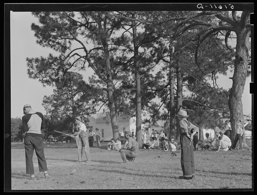
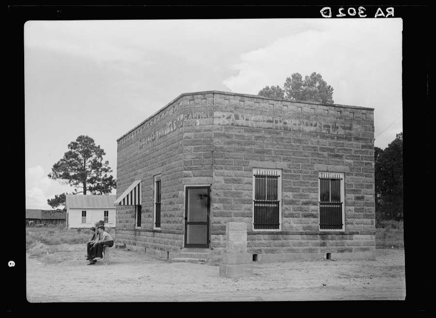
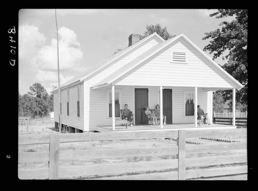
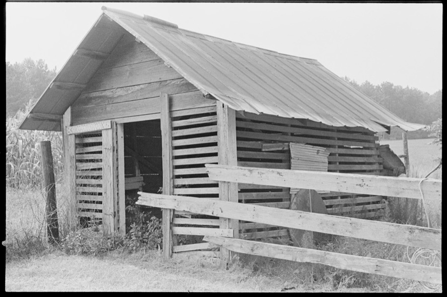
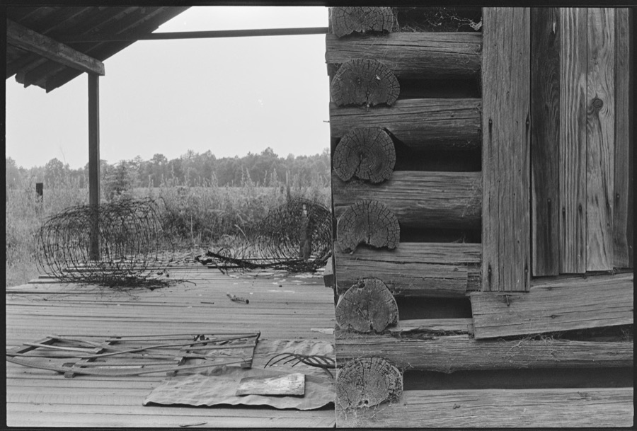
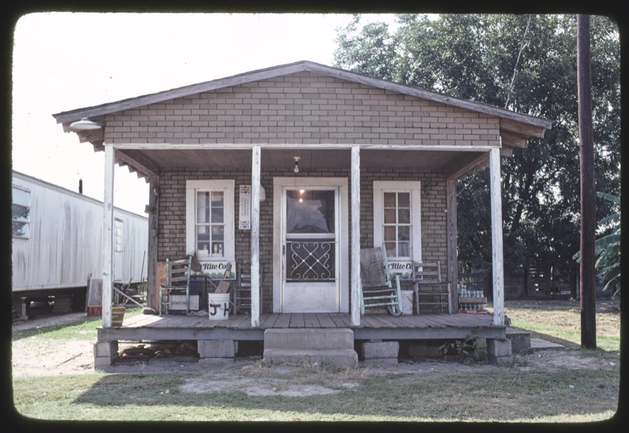
Taken for the Office of War Information and the Farm Security Administration, who photographed the country between 1935 and 1944. Works of United States government photographers, with no known restriction on use. Each opens its catalogue record.
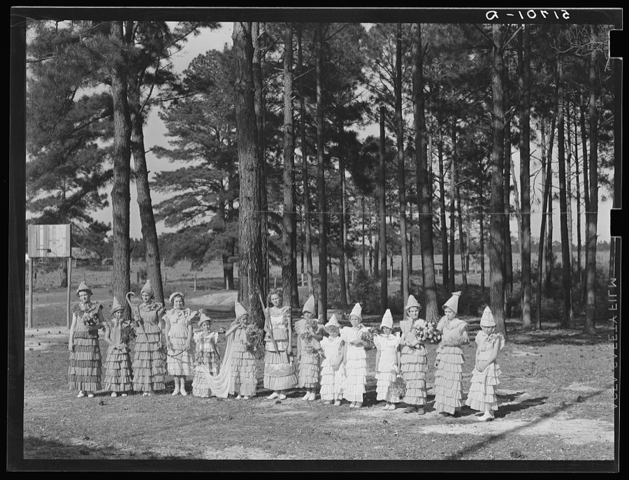

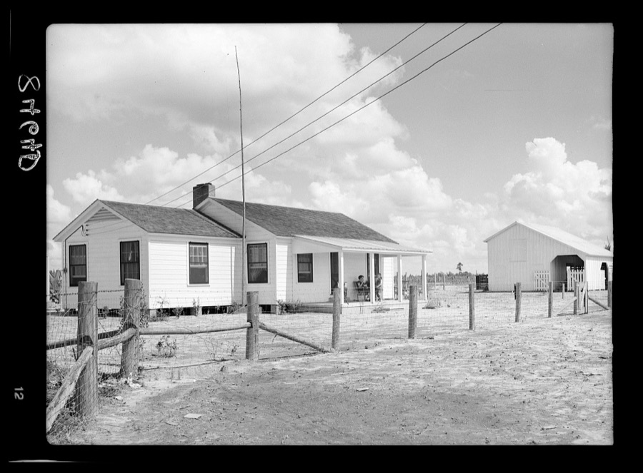
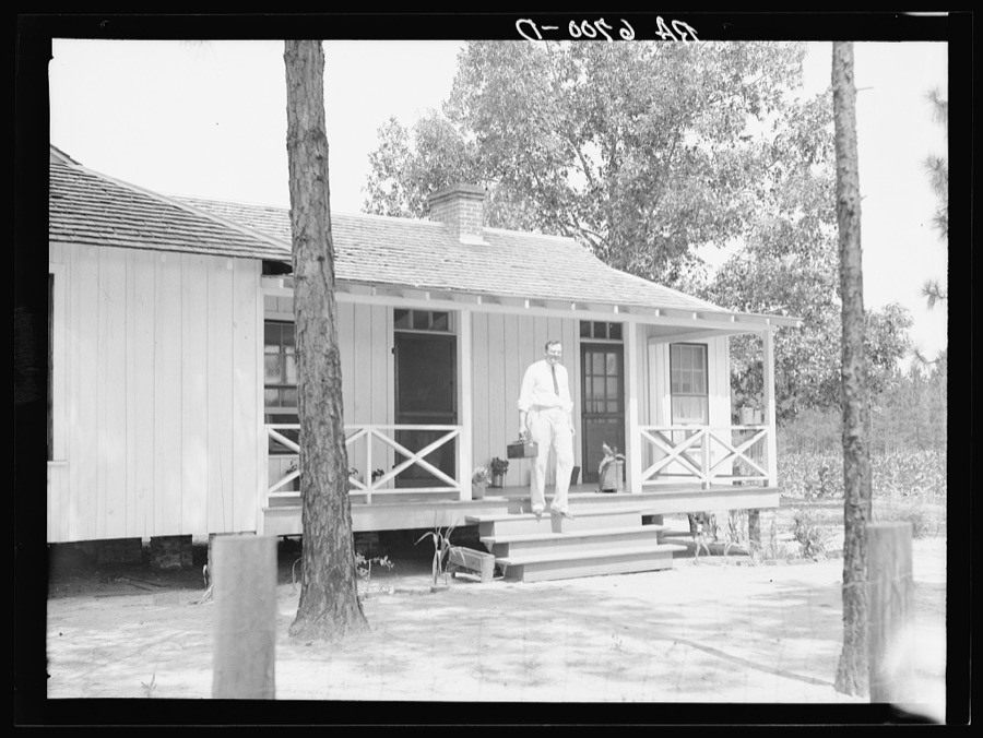
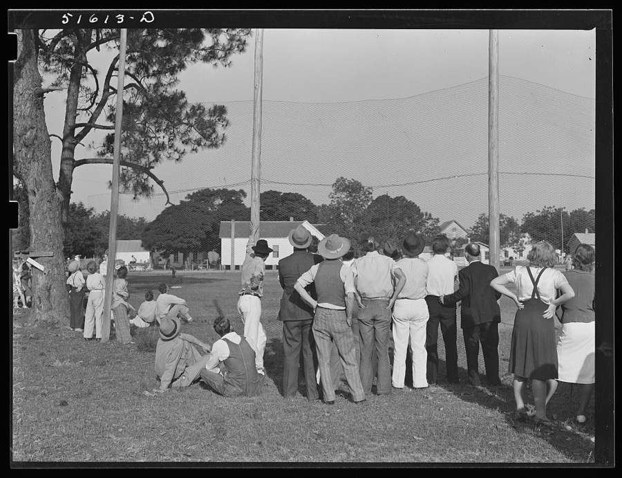



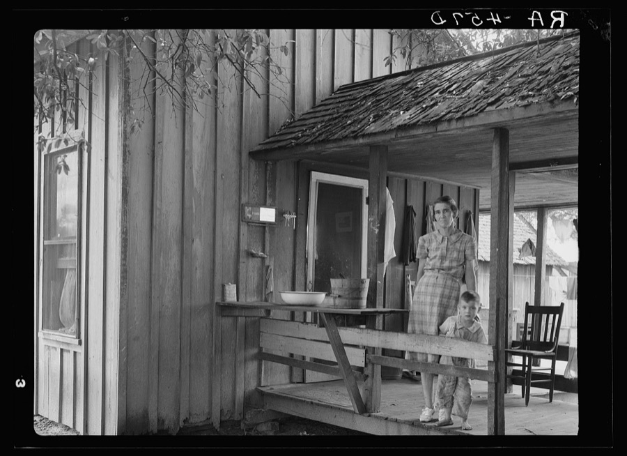

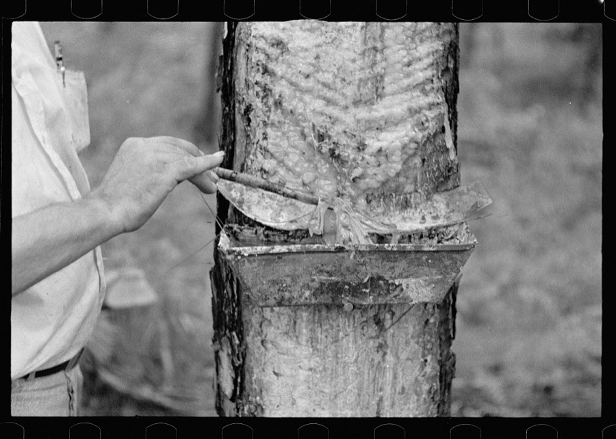
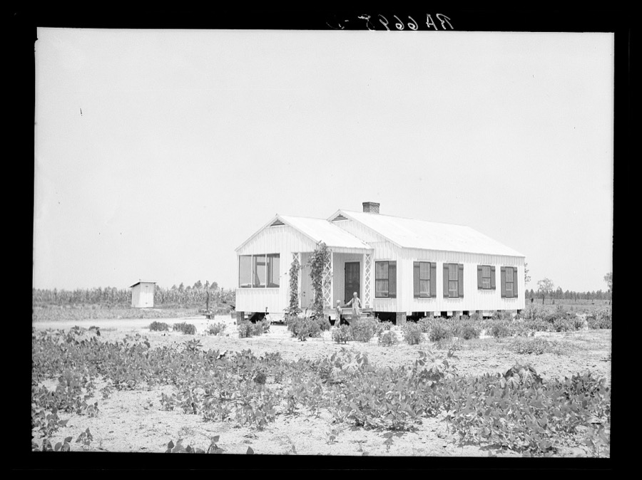

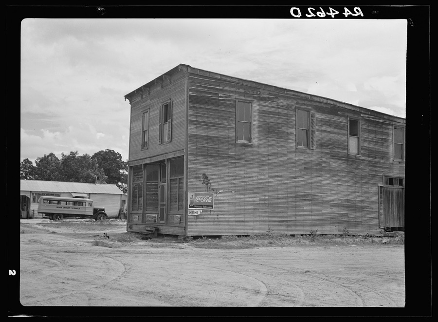

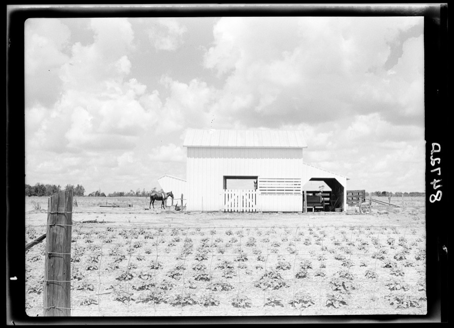


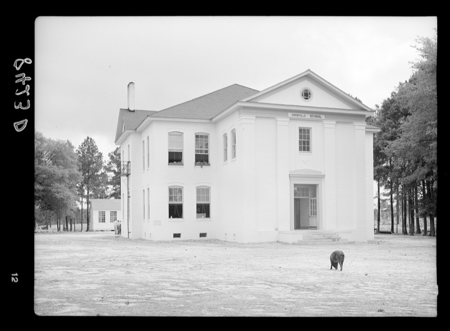
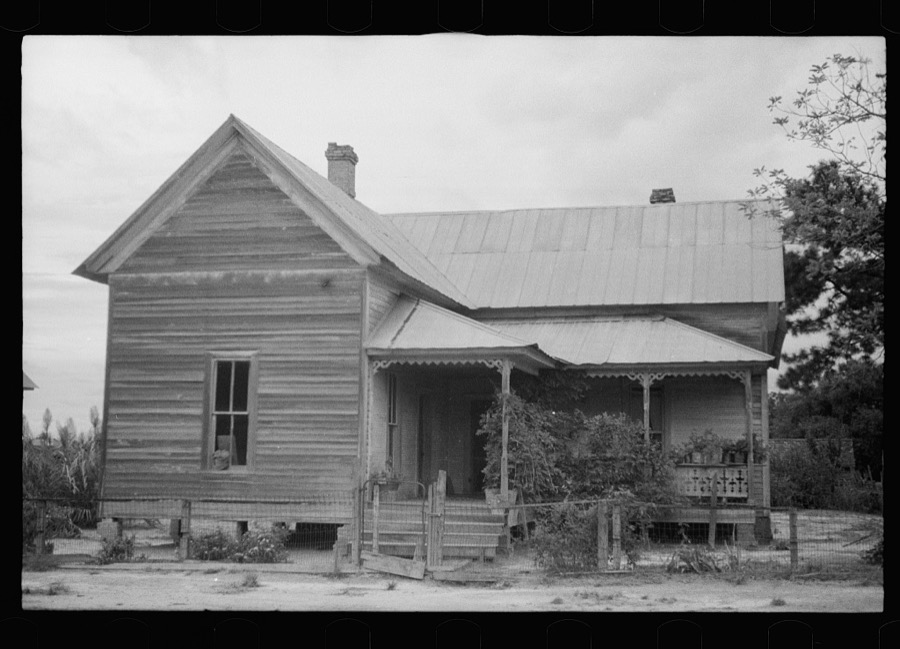

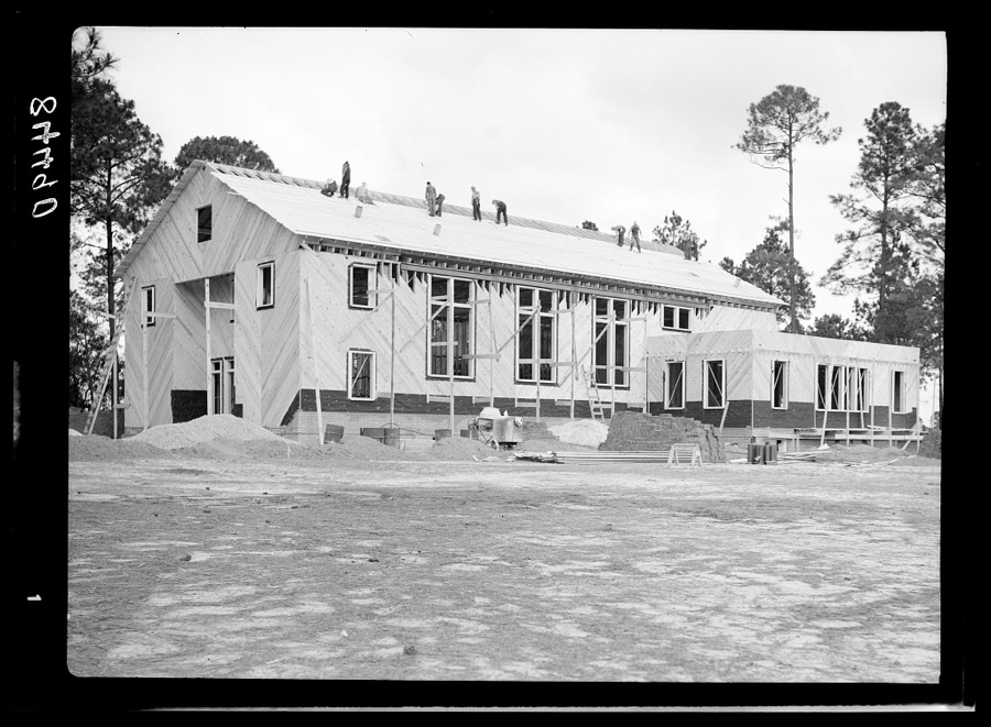
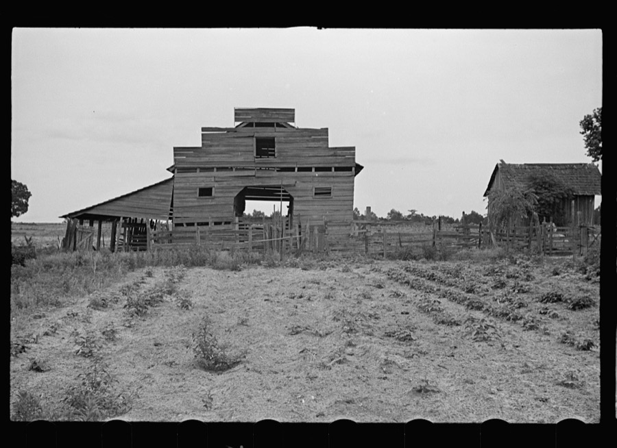


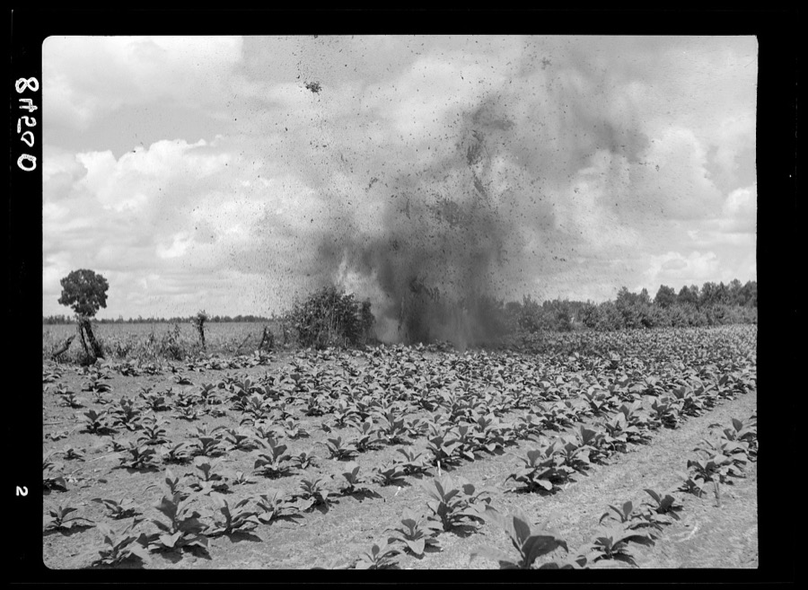

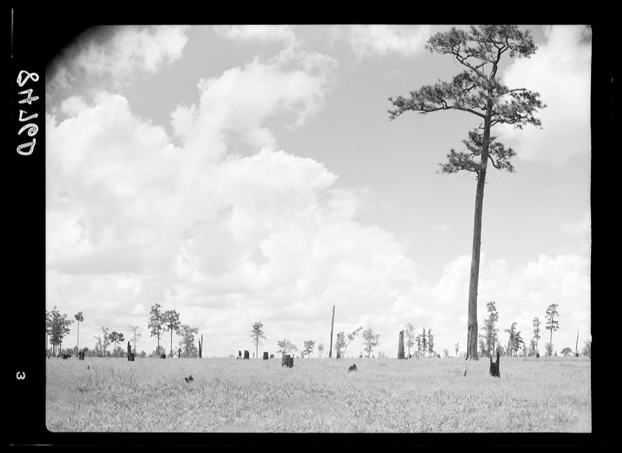
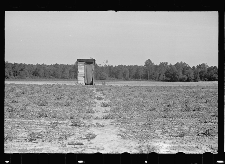
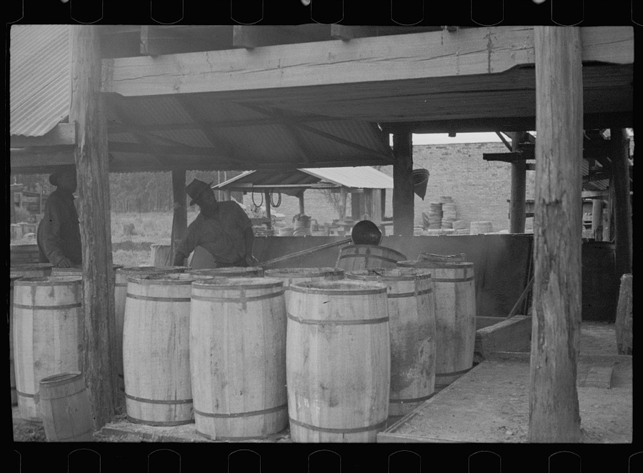
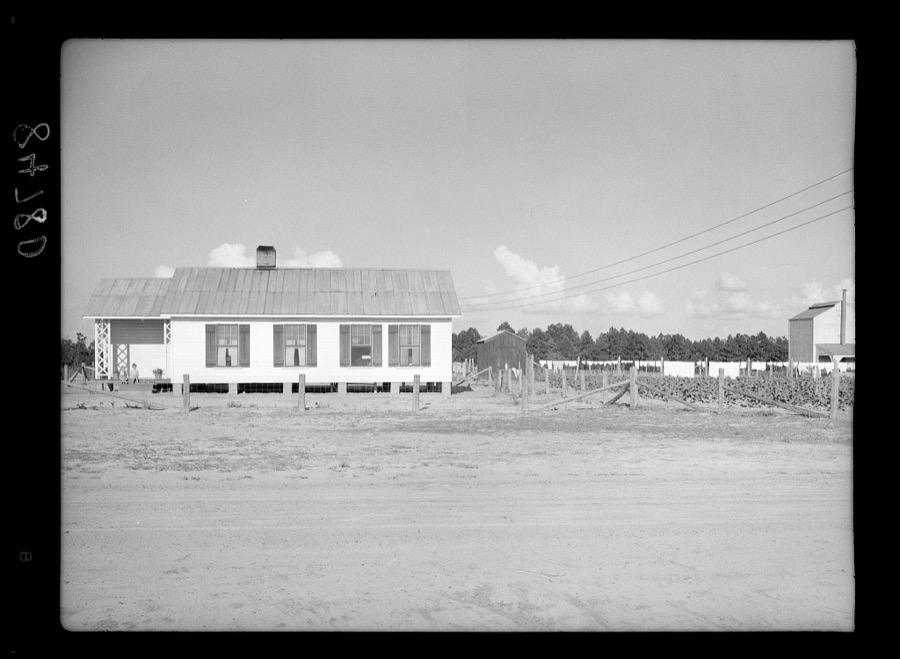
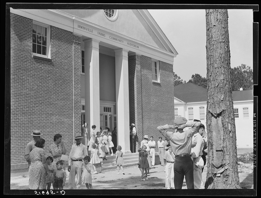
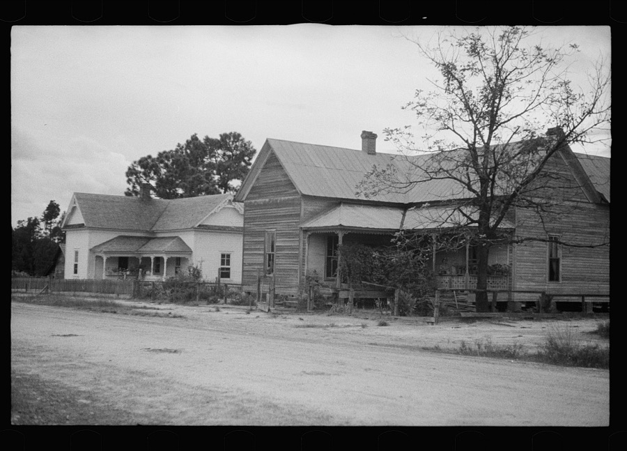


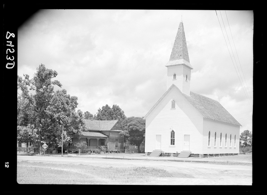





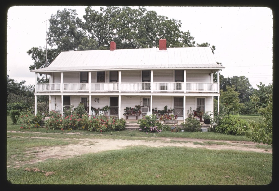

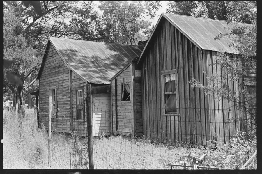




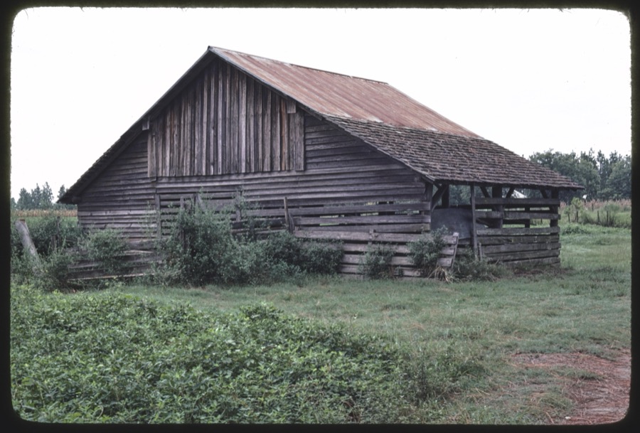
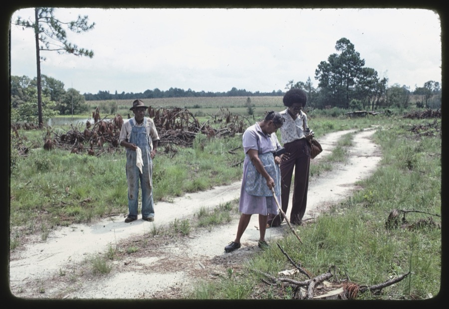
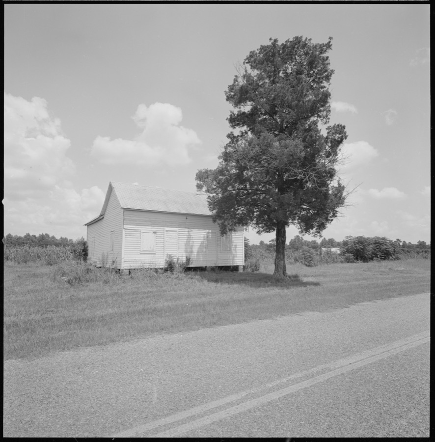



Every property in this county listed on the National Register of Historic Places, with the year it was listed and the federal nomination document.
| Photograph | Property | Type | Listed | Reference |
|---|---|---|---|---|
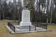 | Jefferson Davis Capture Site | site | 1980 | 80001094 |
 | Irwin County Courthouse | building | 1980 | 80001095 |
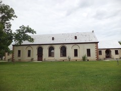 | Ocilla Public School | building | 2004 | 04001186 |
Drawn when these were printed as single large sheets: the town seen from the air, and the county divided into its farms with every owner named. Each opens the original at the Library of Congress.
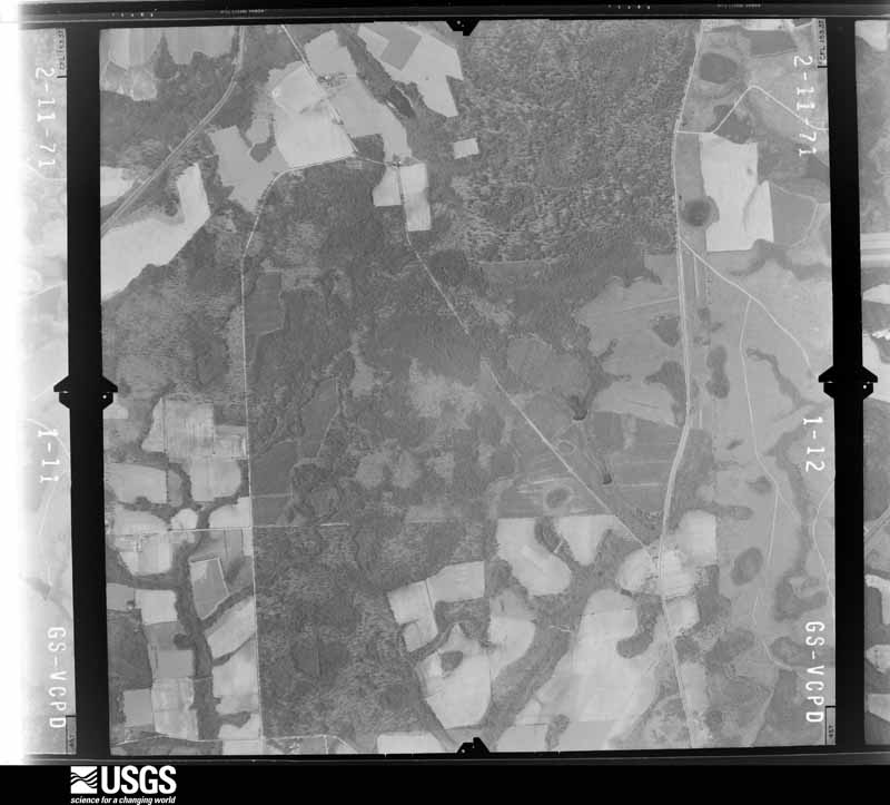
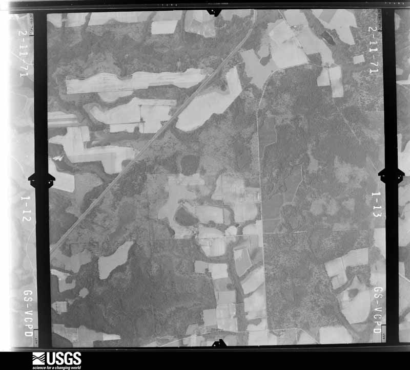
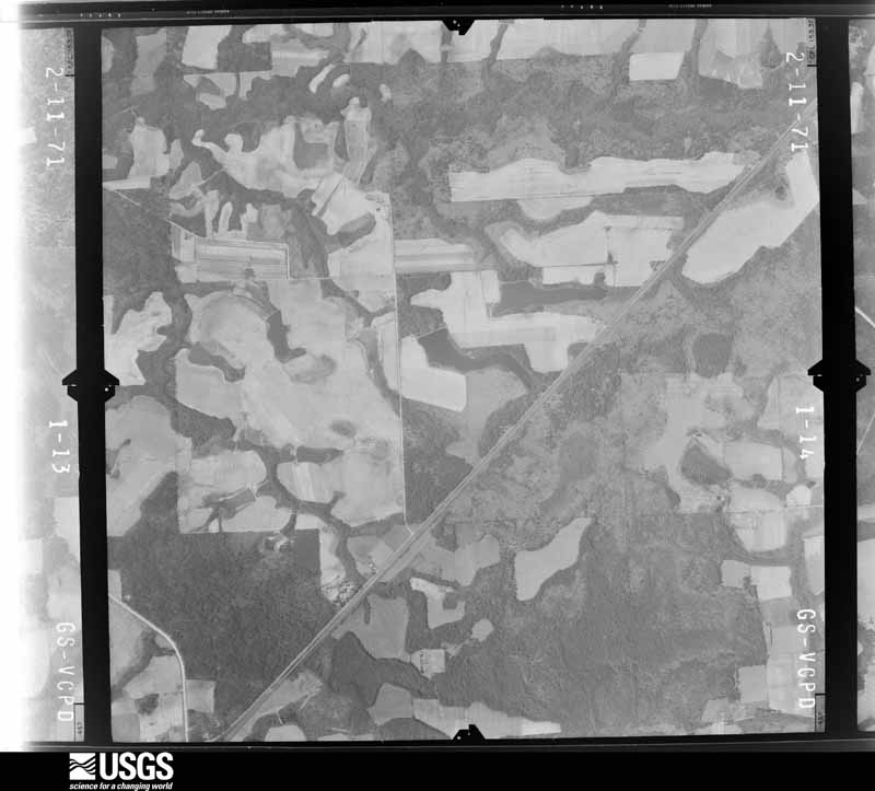
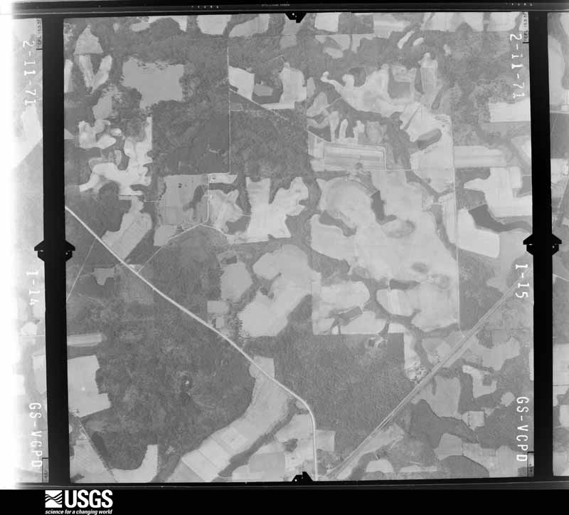
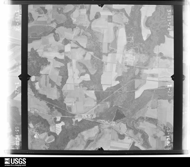
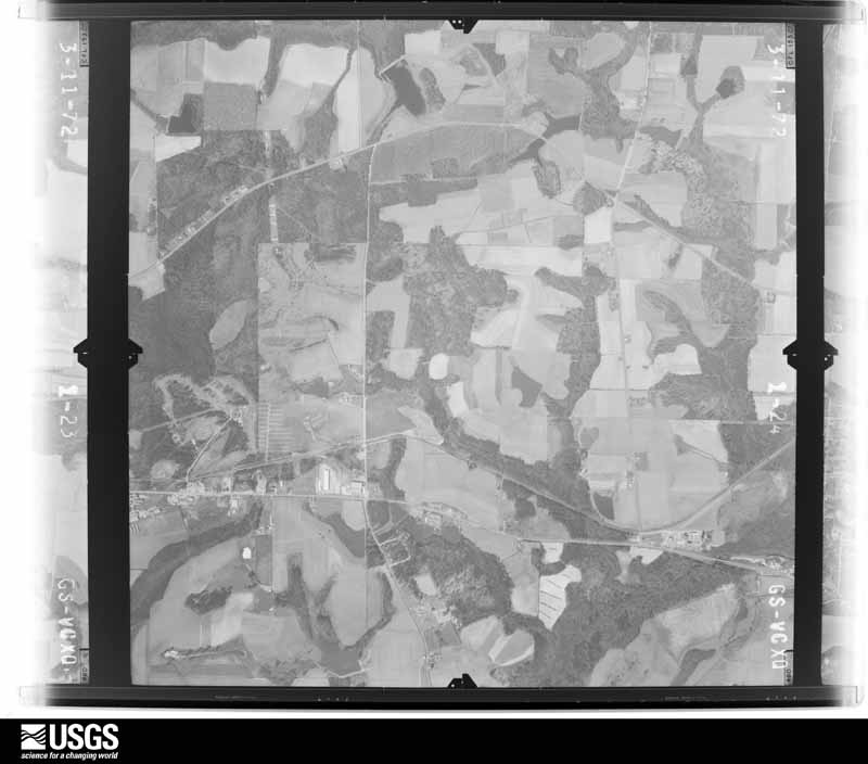
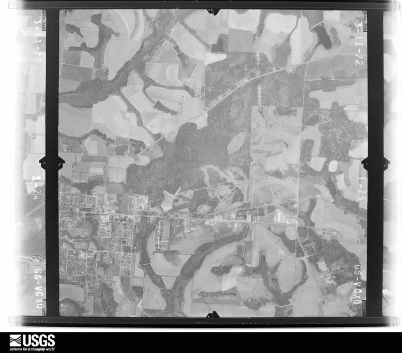
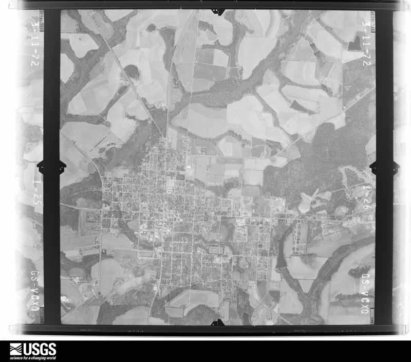
Flown by the U.S. Geological Survey between 1937 and 1989, the Aerial Photo Single Frames collection is the definitive mid-century view of the land: fields, roads and rivers as the camera saw them. The Survey holds 540 frames inside the rectangle that bounds this county; the 16 frames below were taken over the county itself, chosen across the decades of flights (at most four a year from that rectangle), so one flight cannot crowd out the rest. The full set is free to browse and download at EarthExplorer under the dataset Aerial Photo Single Frames.








The thermometers that kept this county's weather, and the gages that measured the flow of its streams, as the federal records hold them. The extremes below are measured values from those records, not estimates.
Who lived here in 1950, one enumeration district at a time, as the Census Bureau described each district. Each row opens its official National Archives result, with Population Schedules and ED Maps available there.
Every wildfire the federal occurrence database records inside this county: 1,218 of them, burning about 4,487 acres. 52 started naturally and 90 were recorded as arson. Each settlement page carries the fires within five miles of it.
| Reported cause | Fires |
|---|---|
| Debris and open burning | 789 |
| Equipment and vehicle use | 110 |
| Missing data/not specified/undetermined | 102 |
| Arson/incendiarism | 90 |
| Natural | 52 |
| Misuse of fire by a minor | 22 |
| Recreation and ceremony | 22 |
| Railroad operations and maintenance | 17 |
| Smoking | 14 |
The five largest, by the area the report gives. One of them was set deliberately.
| Date | Cause | Size | Reported by | Name on the report |
|---|---|---|---|---|
| 13 April 2007 | Debris and open burning | 222 acres | Georgia Forestry Commission | IRWIN48 |
| 12 September 2005 | Debris and open burning | 189 acres | Georgia Forestry Commission | not named |
| 10 June 2008 | Equipment and vehicle use | 124 acres | Georgia Forestry Commission | not named |
| 19 February 2014 | Debris and open burning | 122 acres | Georgia Forestry Commission | FY2014-IRWIN-007 |
| 9 March 2006 | Debris and open burning | 103 acres | Georgia Forestry Commission | not named |
| 25 March 2019 | Debris and open burning | 95 acres | Georgia Forestry Commission | FY2019IRWIN010 |
| 1 March 2006 | Debris and open burning | 83 acres | Georgia Forestry Commission | not named |
| 15 March 2011 | Arson/incendiarism | 65 acres | Georgia Forestry Commission | FY2011-IRWIN-063 |
Every settlement page carries the fires within five miles of it - see the settlement index below.
The NOAA Storm Events Database holds 191 reports for this county, causing 2 deaths, 1 injury and about $2,607,500 in recorded property damage. Each settlement page carries the reports that name it.
| Kind of event | Reports |
|---|---|
| Thunderstorm Wind | 123 |
| Hail | 30 |
| Flood | 17 |
| Tornado | 10 |
| Flash Flood | 7 |
| Heavy Rain | 2 |
| Lightning | 1 |
| Funnel Cloud | 1 |
The most serious of them, by death, then injury, then recorded damage. The accounts are quoted exactly as the forecast office filed them.
| When | Event | Place named | Harm | What the report says |
|---|---|---|---|---|
| April 2011 | Thunderstorm Wind | Ocilla | 1 killed, 1 hurt, $50,000 | Numerous trees and power lines were blown down across the county. One man was killed and his wife hospitalised when a tree crashed through their roof. Irwin county schools were closed for the day as a result of trees making roads impassable. The monetary damage figure provided is a rough estimate. |
| May 2006 | Lightning | Mystic | 1 killed | A man was struck and killed by lightning outside his house. Reported by the Irwin County EMA. |
| December 2019 | Tornado (EF2) | Waterloo | $500,000 | The initial touchdown occurred in an un-reachable area of Irwin County approximately nine miles west of Ocilla. The survey team relied on radar data to estimate the touchdown location. The first area the damage assessment team could access was along Ponderosa Road just north of Wood Rd. where dozens of pine trees were snapped and a farm had several outbuildings damaged. Damage...consisting of snapped trees, destroyed outbuildings and damaged irrigation machinery...then continued along a widening path heading east-northeast toward the Mystic community. Damage was significant in Mystic. Several homes suffered serious roof loss and a couple brick buildings were nearly destroyed. Debris including concrete chunks was thrown hundreds of yards into a nearby field. There were hundreds of snapped and uprooted trees of all kinds in the area. Damage was well into the EF-2 range here with max winds estimated at 125 mph, and the damage path widened to near 400 yards. Continuous damage...mainly downed trees and damaged barns...persisted along a wide path as the tornado continued moving east-northeast. The next area of significant damage was noted in a neighborhood south of Fitzgerald, Georgia at the intersection of Vo Tech and Old Whitley Crossing Roads. More than a dozen homes suffered major roof damage here with several experiencing complete loss. A couple RVs were rolled over and heavily damaged. The tornado continued moving northeast eventually crossing into Ben Hill county along Highway 319. Several more homes suffered roof damage, many barns were destroyed and hundreds of trees were snapped. The last evidence of damage was to a barn and trees along Partridge Road approximately 2.5 miles east of the Ashton community. Damage cost was estimated. |
| March 2000 | Flash Flood | Countywide | $500,000 | The Irwin County EMA reported several county and state roads closed and a few dirt roads washed out by flood waters from four to six inches of rain. |
| October 1993 | Thunderstorm Wind | Irwinville | $500,000 | Thunderstorm winds blew out windows in a few homes and downed several large trees. At least 50 pecan trees in one orchard were uprooted, snapped in half or blown away. |
| February 2008 | Thunderstorm Wind | Ocilla | $250,000 | Straight line winds tossed cargo trailers around at the Forest River Plant near Ocilla. |
| December 2002 | Tornado (F1) | Ocilla | $250,000 | A small tornado briefly touched town which destroyed a mobile home, damaged several barns and uprooted trees. The tornado also hit a mobile home industrial park, where a dozen homes were severely damaged. Reported by the Irwin County Sheriff. |
| September 2000 | Tornado (F1) | Ocilla | $200,000 | An F1 tornado touched down severely damaging a home near U.S. Highway 319, then raced northeast across Highway 32 destroying a home on Tomberlin Lane between Ocilla and Mystic. The tornado damaged several peanut and cotton farms before dissipating. Numerous large trees were uprooted and power lines were toppled. Reported by the Irwin County EMA. |
| April 2014 | Tornado (EF1) | Ocilla | $70,000 | A tornado briefly touched down in Irwin county south of Ocilla and produced mainly EF0 damage along its path, largely in the form of uprooted trees with some smaller trees snapped. The tornado was at its strongest near the end of its damage path where EF1 damage was noted. A mobile home was knocked several feet off its foundation, but remained upright. Most of the roof was torn off. A large hardwood tree was snapped in half and many others were uprooted. Several out buildings were destroyed and shingles were stripped from the roof of one home. Peak winds were estimated around 105 mph. Monetary damage was estimated. |
| December 2005 | Tornado (F0) | Ocilla | $50,000 | A tornado touched down on Old Whitley Road. The steel beam support from a farm building was blown into a nearby house. The roof of another farm building was ripped off. Numerous trees and power lines were down. Reported by the Irwin County EMA. |
| April 2025 | Thunderstorm Wind | Holt | $25,000 | An oak tree fell and crushed a parked car. |
| May 2003 | Thunderstorm Wind | Countywide | $25,000 | Several downed trees and power lines. A tree fell on a house in Ocilla. Reported by the Irwin County EMA. |
| April 2014 | Thunderstorm Wind | Mystic | $20,000 | Multiple sheds were blown away near Mystic. Monetary damage was estimated. |
| October 1997 | Thunderstorm Wind | Wray | $20,000 | Severe thunderstorm winds downed numerous trees and power lines between Lax and Wray. |
| December 2006 | Thunderstorm Wind | Ocilla | $15,000 | Several downed trees and power lines reported in Ocilla. Several windows were blown out on Satilla Road. |
| July 2018 | Thunderstorm Wind | Holt | $10,000 | A tree was blown down on a house on Holt Road. Damage cost was estimated. |
| May 2016 | Thunderstorm Wind | Ocilla | $10,000 | Trees and power lines were blown down in Ocilla. In addition, a house fire resulted from a downed power line. Damage was estimated. |
| May 1995 | Thunderstorm Wind | Ocilla | $10,000 | Thunderstorm winds knocked down a large tree onto a general store. |
| May 2024 | Thunderstorm Wind | Ocilla | $5,000 | Three power poles were blown down in Ocilla. |
| May 2024 | Thunderstorm Wind | Waterloo | $5,000 | There were numerous downed trees and power lines throughout Irwin county with the greatest concentration in the western portion of the county. |
| March 2019 | Thunderstorm Wind | Arp | $5,000 | A tin roof was blown off a barn. |
| July 2018 | Thunderstorm Wind | Wray | $5,000 | Numerous trees and power lines were blown down. |
| December 2005 | Thunderstorm Wind | Irwinville | $5,000 | The Irwin County EMA reported downed trees and power lines. |
| June 1998 | Thunderstorm Wind | Countywide | $5,000 | Trees and power lines down countywide. |
| August 1994 | Thunderstorm Wind | Ocilla | $5,000 | A roof was blown off of a drugstore onto powerlines in Ocilla which knocked out electrical service to most of the county including a large portion Ocilla. |
| May 2024 | Thunderstorm Wind | Ocilla | $4,000 | Several trees and power lines were blown down across the county. |
| July 2015 | Thunderstorm Wind | Irwinville | $4,000 | Several trees and power lines were blown down across the county. |
| January 2013 | Thunderstorm Wind | Waterloo | $4,000 | Numerous trees and power lines were blown down across the county. Monetary damage was estimated. |
| May 2021 | Thunderstorm Wind | Irwinville | $3,000 | Trees were blown down throughout Irwin county. |
| March 2012 | Thunderstorm Wind | Ocilla | $3,000 | A few trees were blown down along Spruce Road. Monetary damage was estimated. |
| June 2010 | Thunderstorm Wind | Ocilla | $3,000 | Several trees were blown down along Highway 319 and along 5 Bridge Road near Ocilla. The monetary damage figure provided is a rough estimate. |
| February 2007 | Thunderstorm Wind | Irwinville | $3,000 | The Irwin County Sheriff reported several downed trees throughout the county. Power lines were down at U.S. Highway 319 and State Highway 32 West. |
| May 2006 | Thunderstorm Wind | Countywide | $2,500 | The Irwin County Sheriff reported numerous trees down throughout the county. |
| January 1972 | Tornado (F1) | not stated | $2,500 | no account filed |
| May 1970 | Tornado (F0) | not stated | $2,500 | no account filed |
| February 1966 | Tornado (F1) | not stated | $2,500 | no account filed |
| July 1966 | Tornado (F1) | not stated | $2,500 | no account filed |
| July 2023 | Thunderstorm Wind | Ocilla | $2,000 | Several power outages from gusty winds occurred across Irwin county. |
| July 2018 | Thunderstorm Wind | Holt | $2,000 | A power line was blown down on Lilac Road. |
| February 2014 | Thunderstorm Wind | Ocilla | $2,000 | Magnolia road was closed due to a tree down with power lines hanging in the tree. |
| April 2007 | Thunderstorm Wind | Ocilla | $2,000 | Several downed trees and power lines were reported. |
| April 2006 | Thunderstorm Wind | Countywide | $2,000 | The Irwin County Sheriff reported downed trees throughout the county. |
| May 2024 | Thunderstorm Wind | Wray | $1,000 | A low hanging power line at truck level was reported along County Line Road. |
| June 2018 | Thunderstorm Wind | Ocilla | $1,000 | A tree was blown down onto a power line resulting in a power outage on the southwest side of Ocilla. |
| February 2014 | Thunderstorm Wind | Holt | $1,000 | Trees were blown on Holt Road. |
| February 2014 | Thunderstorm Wind | Holt | $1,000 | Trees were blown on Satilla Road. |
| February 2014 | Thunderstorm Wind | Holt | $1,000 | A tree was blown down on Lily Road. |
| February 2014 | Thunderstorm Wind | Ocilla | $1,000 | Trees were blown down on Palm Road. |
| February 2014 | Thunderstorm Wind | Ocilla | $1,000 | Tree tops were in the road in the area of Daisy Road and Highway 90. |
| February 2014 | Thunderstorm Wind | Wray | $1,000 | A tree was in the road near the Irwin/Coffee county line. |
| April 2014 | Thunderstorm Wind | Ocilla | $1,000 | Trees were blown down on Old Valley Grove Church Road. |
| April 2014 | Thunderstorm Wind | Ocilla | $1,000 | A large tree was blown down on Poppy Road. |
| April 2014 | Thunderstorm Wind | Ocilla | $1,000 | Trees were blown down on Bushy Creek Road. |
| April 2014 | Thunderstorm Wind | Ocilla | $1,000 | A tree was blown down on the dirt portion of Azalea Road and blocked the road. |
| April 2014 | Thunderstorm Wind | Ocilla | $1,000 | Trees were blown down on Dogwood Road. |
| April 2014 | Thunderstorm Wind | Ocilla | $1,000 | Trees were blown down on 5 Bridge Road. |
| April 2014 | Thunderstorm Wind | Holt | $1,000 | Trees were blown down on Satilla Road. |
| July 2012 | Thunderstorm Wind | Mystic | $1,000 | Irwin county 911 dispatch reported a tree down on Highway 107 one mile into Irwin county. Monetary damage was estimated. |
| July 2012 | Thunderstorm Wind | Waterloo | $1,000 | One large tree was blown down. Monetary damage was estimated. |
| May 2004 | Thunderstorm Wind | Irwinville | $1,000 | Downed trees reported by the Irwin County Sheriff. |
The Survey's mineral resources record lists 3 workings inside this county. None of them still produces: all are closed or unrecorded. Each settlement page carries the workings within five miles of it.
| Commodity | Workings |
|---|---|
| Sand and Gravel, Construction | 3 |
The least common of them first, because a county's hundredth gravel pit says nothing its first ten did not.
| Where | Site | Commodity | Status | Recorded |
|---|---|---|---|---|
| Unnamed Sand Deposit | Sand and Gravel, Construction | Occurrence | Alluvium | |
| Unnamed Sand Deposit | Sand and Gravel, Construction | Past Producer | Alluvium | |
| Unnamed Sand Deposit | Sand and Gravel, Construction | Occurrence | Alluvium |
Named settlements recorded in the Geographic Names Information System, each with the topographic sheets covering it. Villages, hamlets and abandoned places alike. Each is shown with the nearest named watercourse or landform and the survey quadrangle it falls on. The 1 place that was also surveyed for fire insurance comes first, with the number of atlases and photographs held for them.
Ocilla census division · 31774 · Ocilla West quadrangle
8 sheets, 1953 to 1988
Fire insurance: 4 atlases
Irwinville census division · 31774 · On Boggy Branch · Irwinville quadrangle
8 sheets, 1953 to 1988
Ocilla census division · 31774 · On Reedy Creek · Enigma quadrangle
9 sheets, 1953 to 1988
8 topographic sheets and 4 fire insurance atlases, 1912 to 1938
The complete index, with nothing left out. Each of these is a separate record with its own page: a federal survey report, or the case file that argued a property on to the National Register. Both are public domain and reproduced word for word.