 Block
From the record
14 National Register listings published here.
Sources: the county history on the Internet Archive · the National Register database, National Park Service
39 topographic sheets and 9 fire insurance atlases across 3 places.
14 National Register listings published here.
Sources: the county history on the Internet Archive · the National Register database, National Park Service
Taken for the Office of War Information and the Farm Security Administration, who photographed the country between 1935 and 1944. Works of United States government photographers, with no known restriction on use. Each opens its catalogue record.
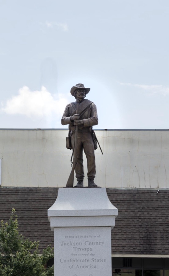

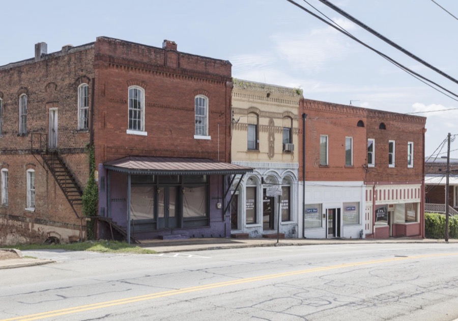

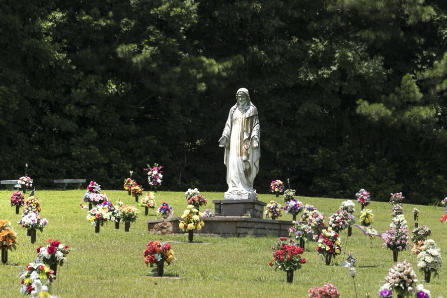
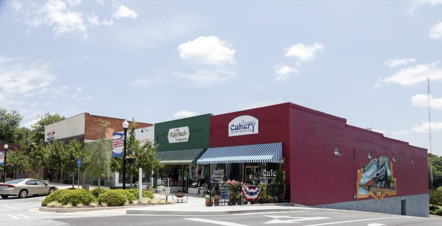

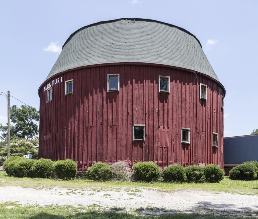
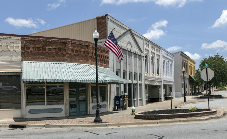
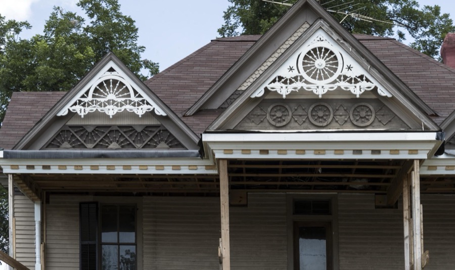

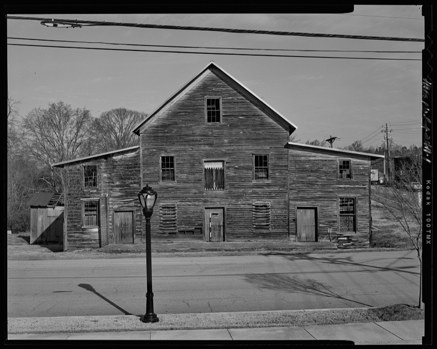
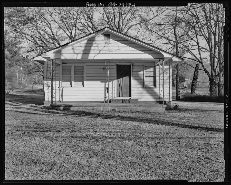
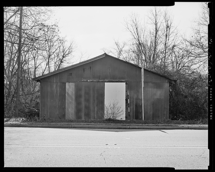
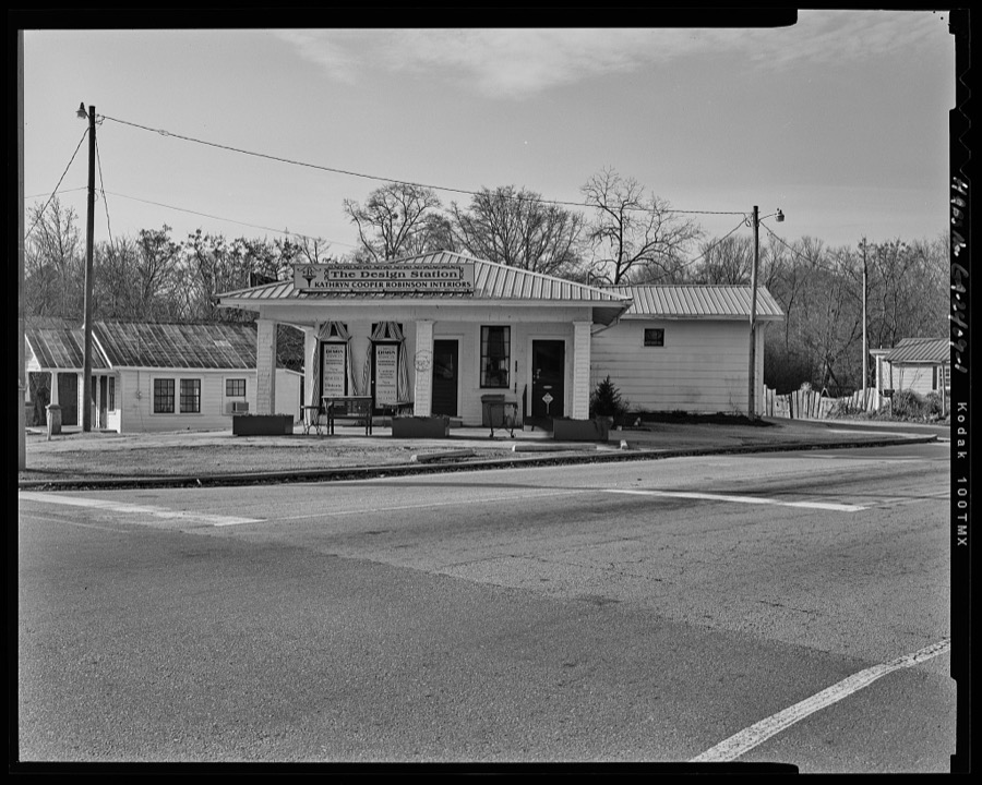
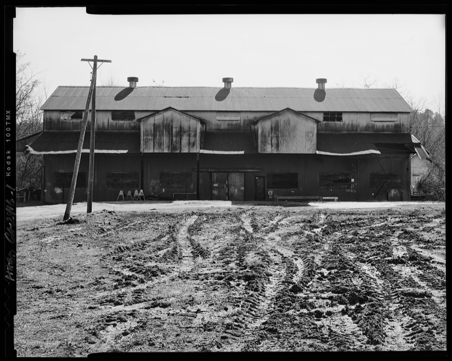
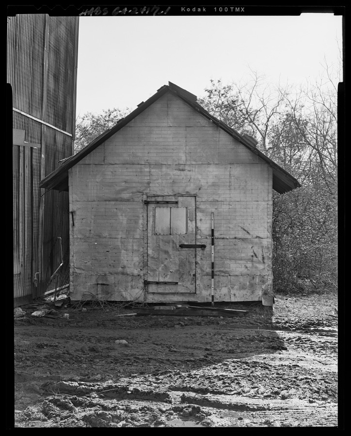

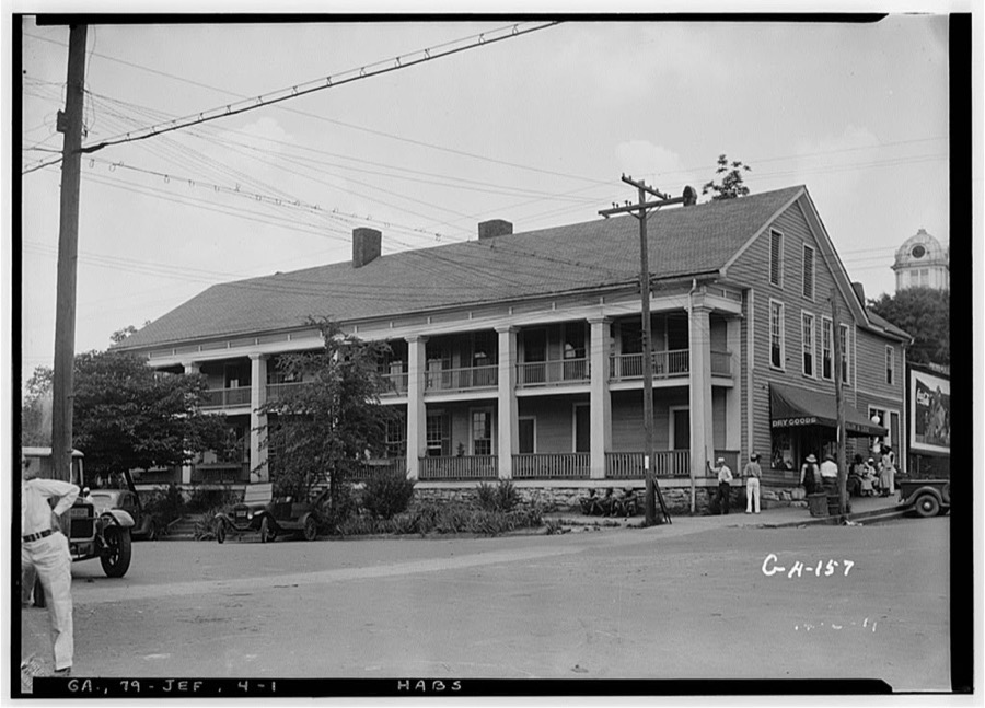
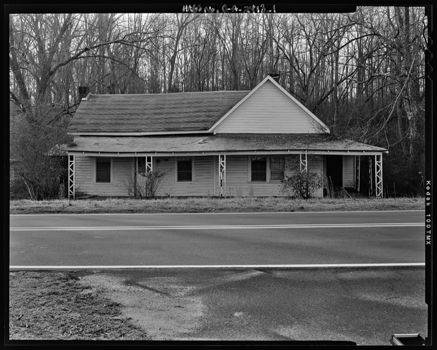
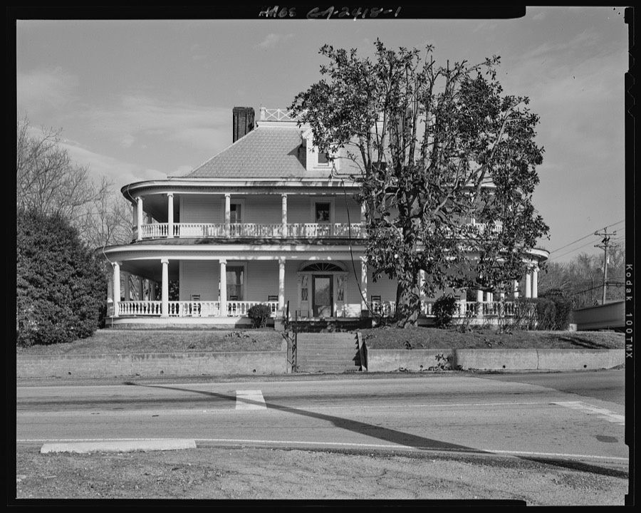
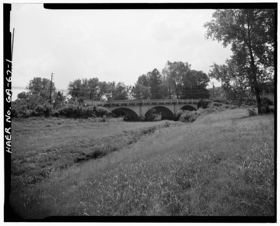
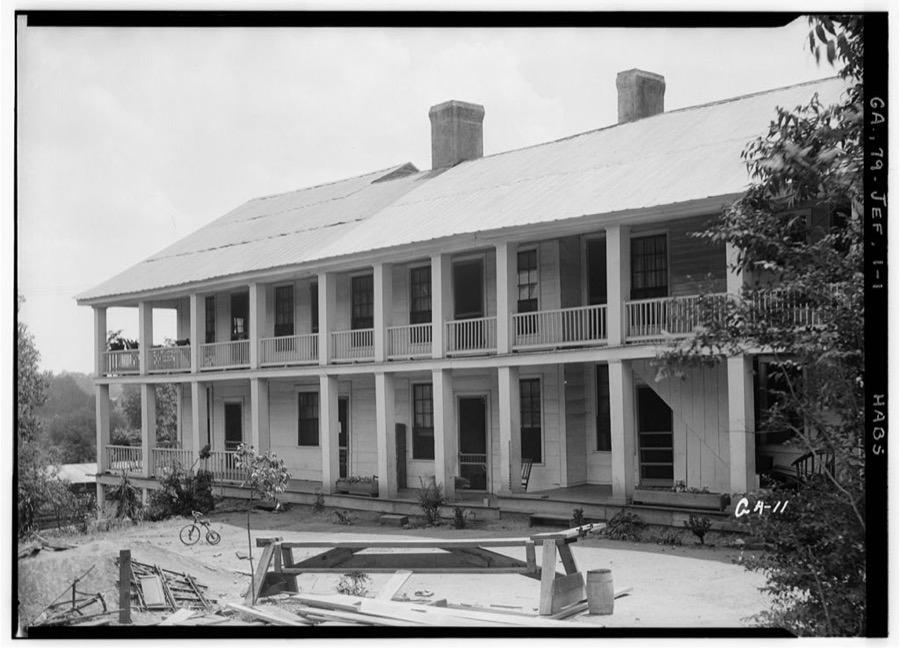
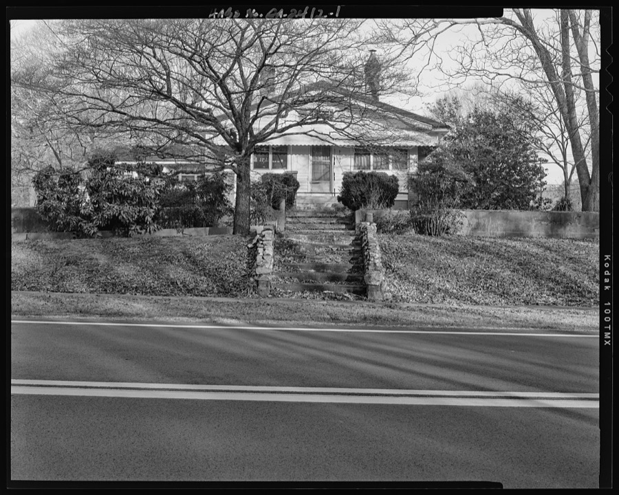
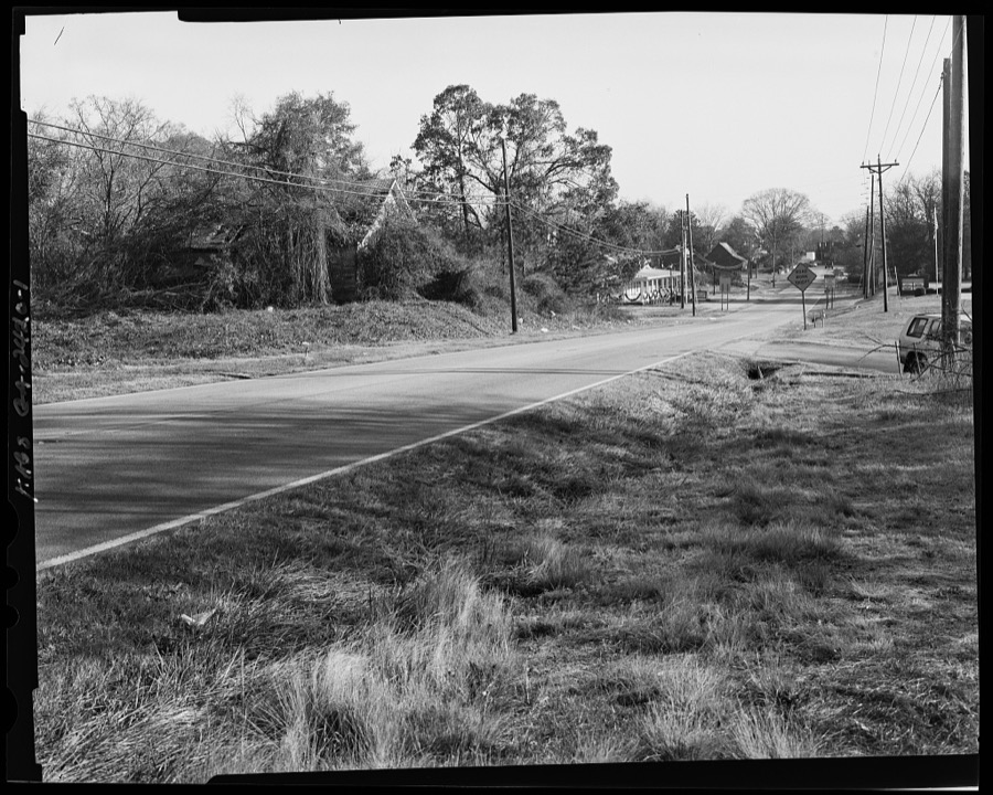
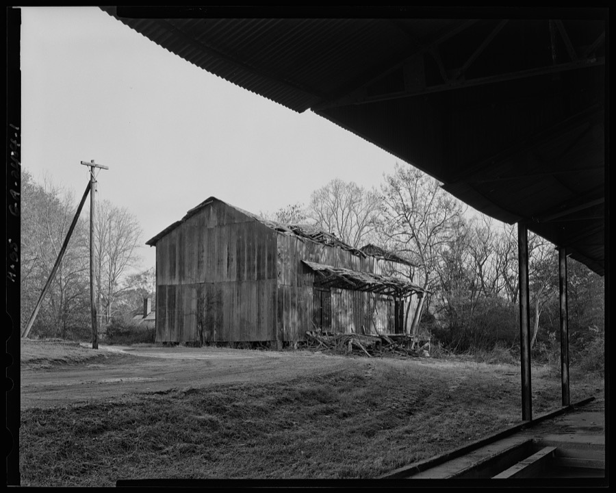
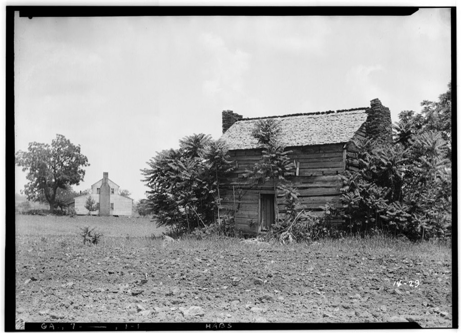
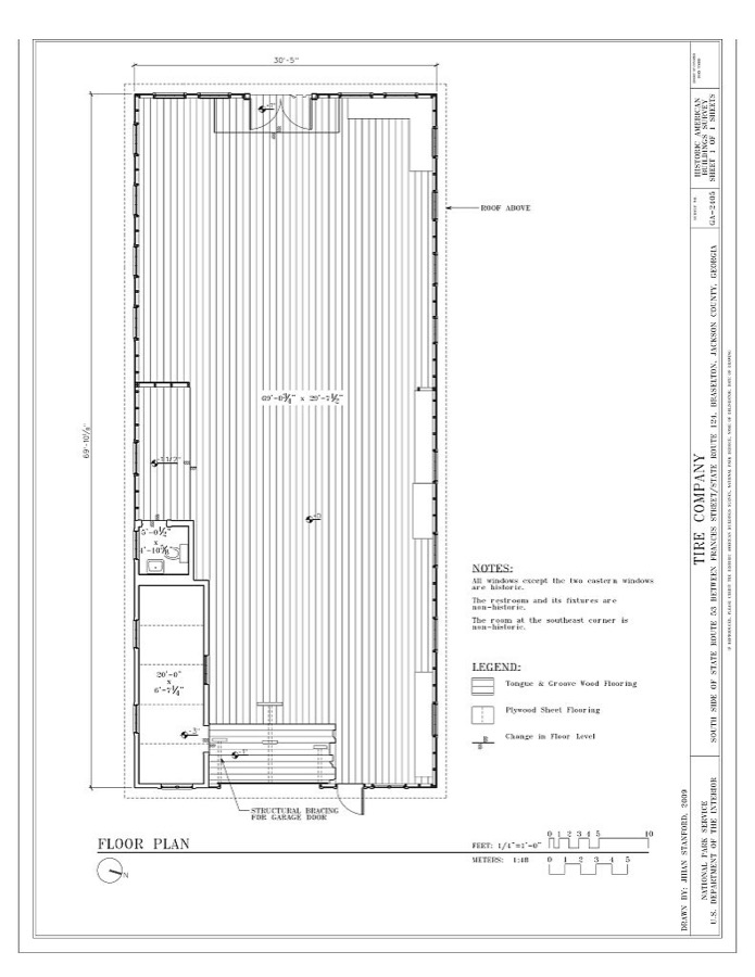
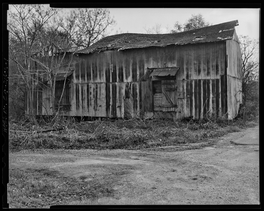
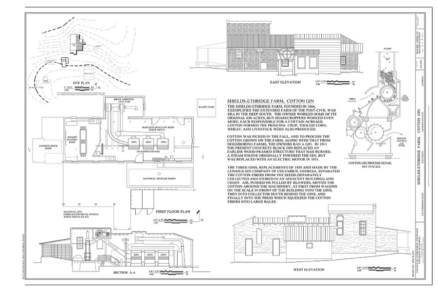
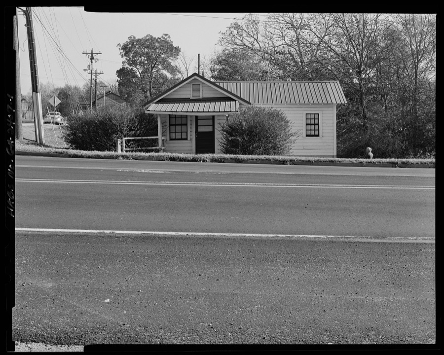
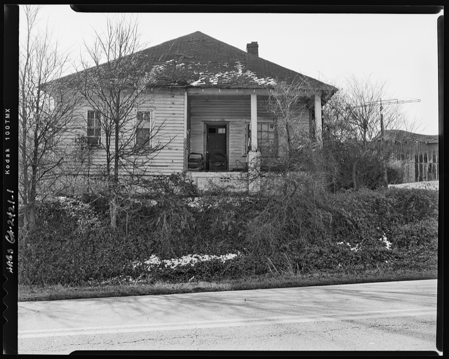
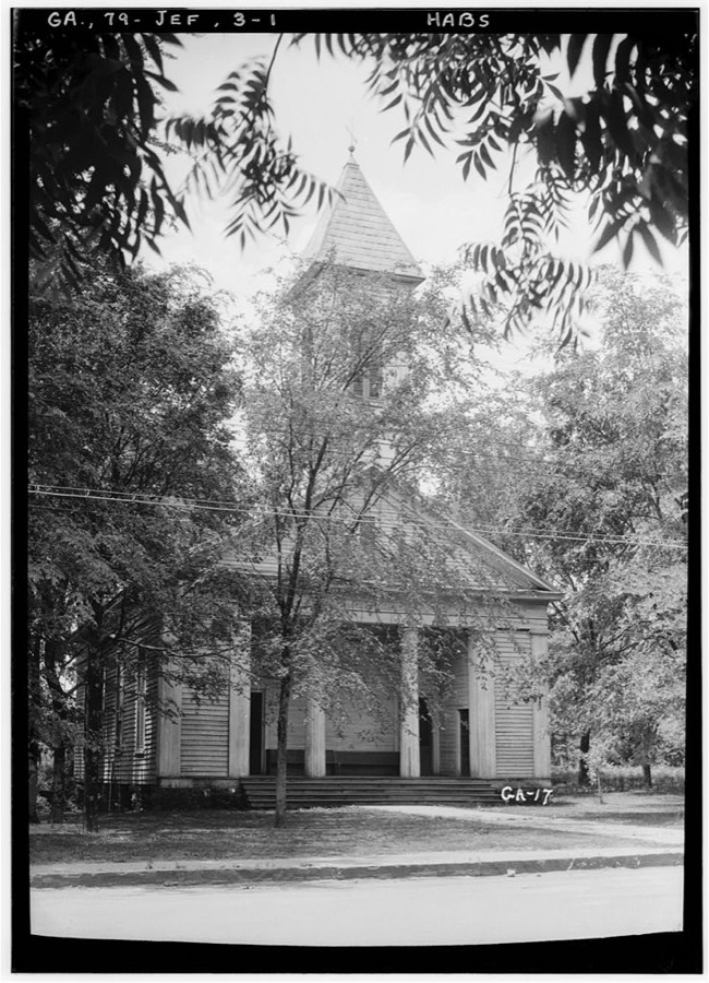
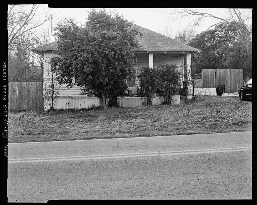
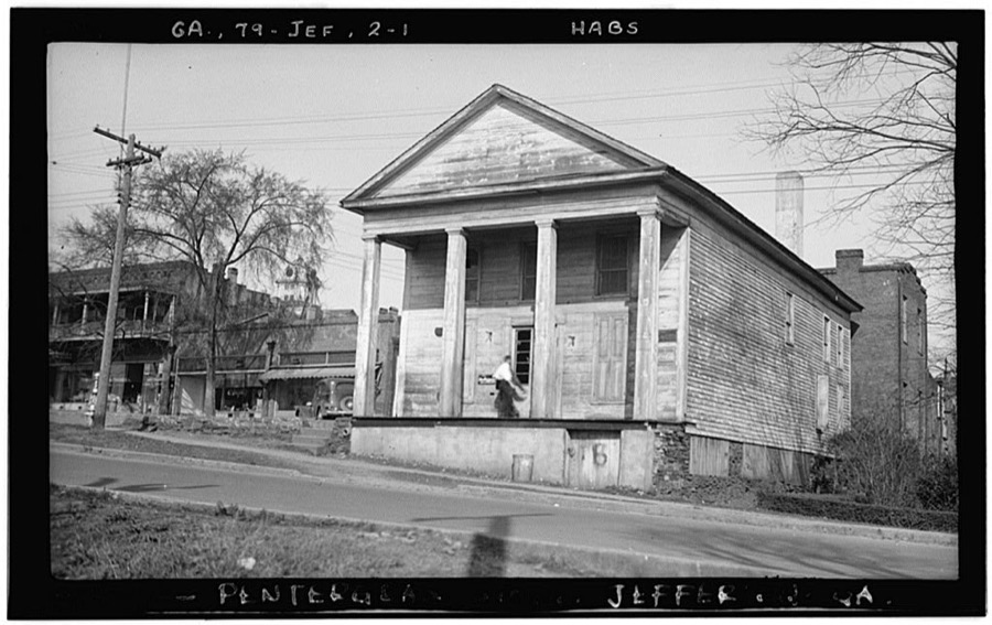
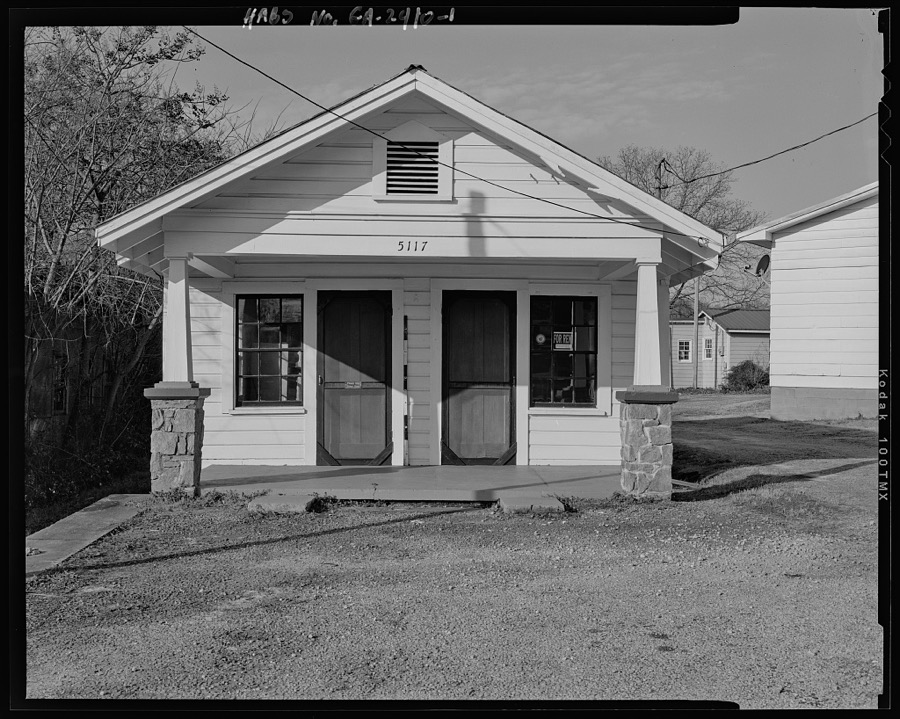
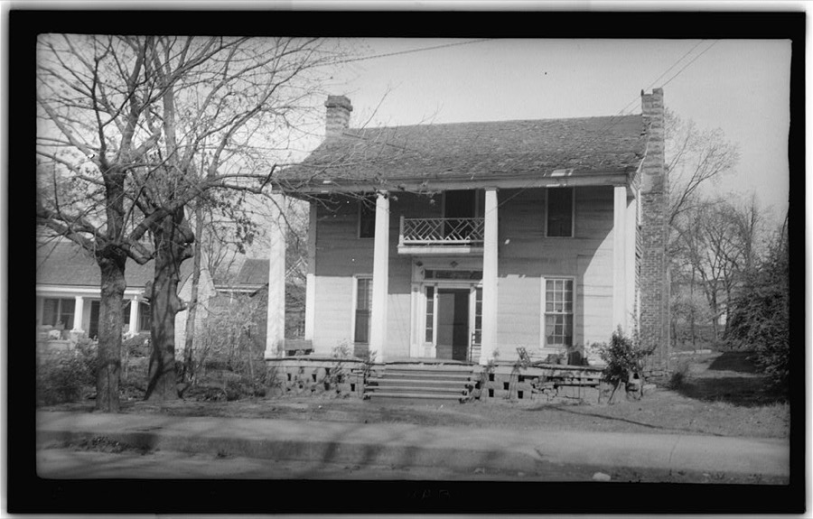
Every property in this county listed on the National Register of Historic Places, with the year it was listed and the federal nomination document.
| Photograph | Property | Type | Listed | Reference |
|---|---|---|---|---|
| Braselton Historic District | district | 2001 | 01000384 | |
| Commerce Commercial Historic District | district | 1989 | 88003226 | |
| Governor L. G. Hardman House | building | 1988 | 88000749 | |
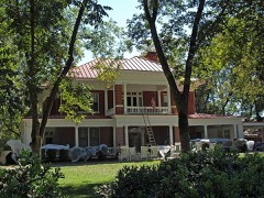 | Hillcrest-Allen Clinic and Hospital | building | 1985 | 85000936 |
| Holder Plantation | district | 1990 | 90001408 | |
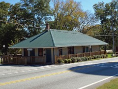 | Hoschton Depot | building | 2000 | 00000304 |
 | Jackson County Courthouse | building | 1980 | 80001096 |
| Jefferson Historic District | district | 2003 | 03000137 | |
| Oak Avenue Historic District | district | 2002 | 02000564 | |
| Paradise Cemetery | site | 2002 | 02000563 | |
| Seaborn M. Shankle House | building | 1979 | 79000732 | |
| Shields-Etheridge Farm | district | 1992 | 92000814 | |
| Talmo Historic District | district | 1997 | 97000960 | |
| Williamson-Maley-Turner Farm | district | 1995 | 95000823 |
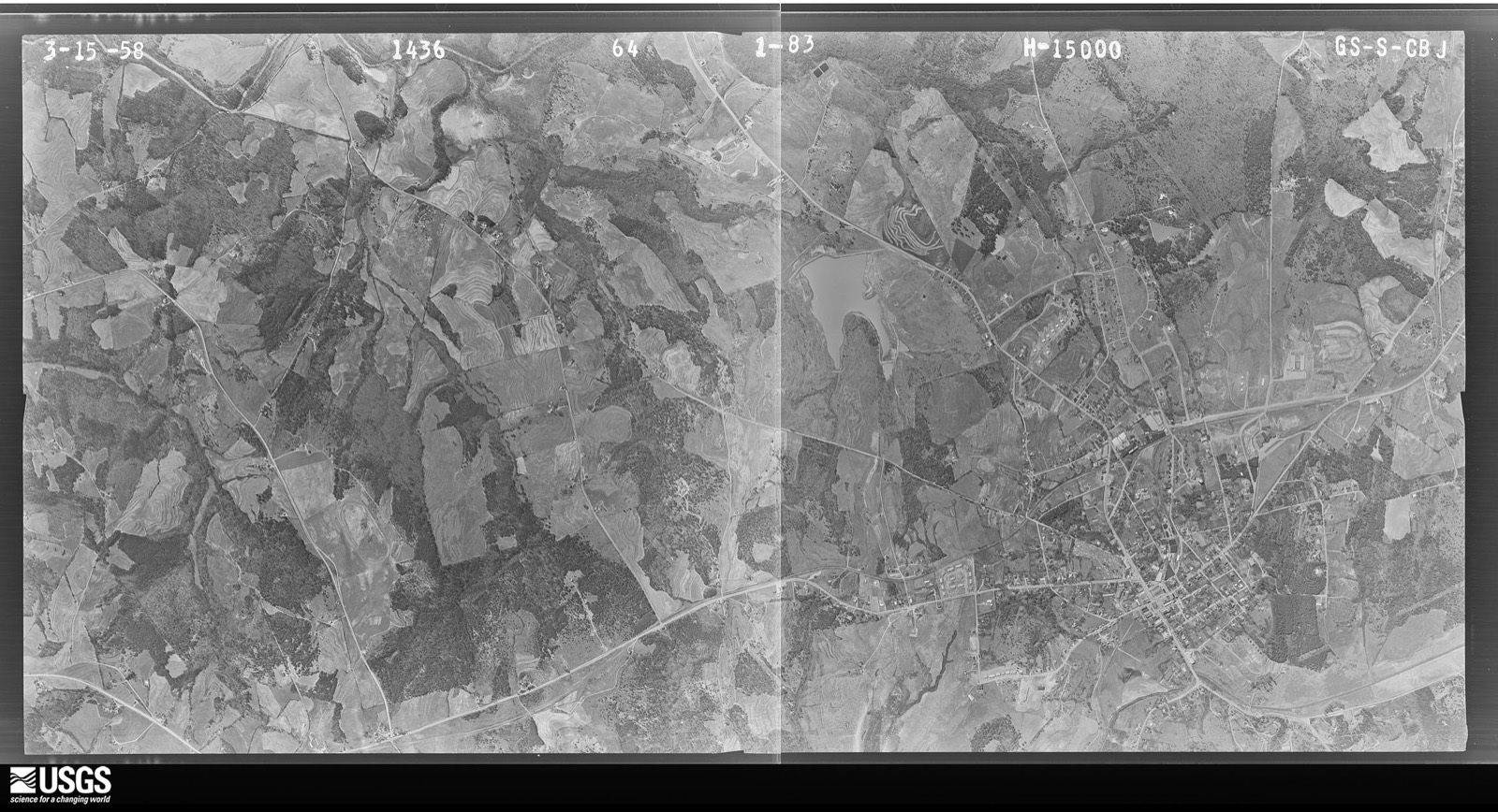
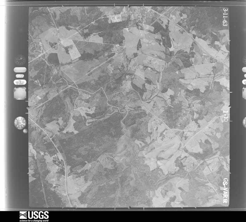
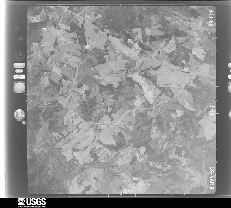
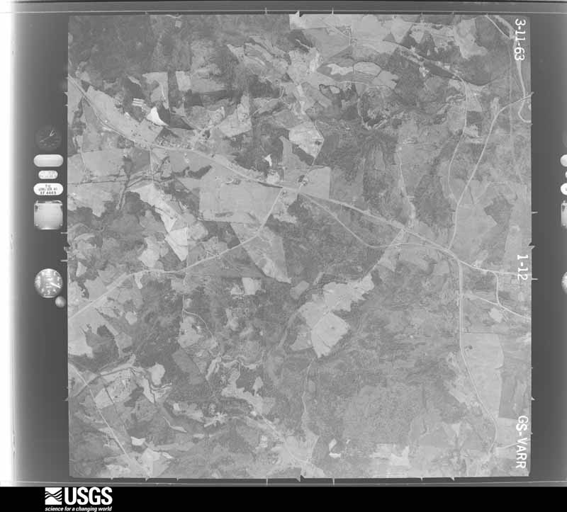
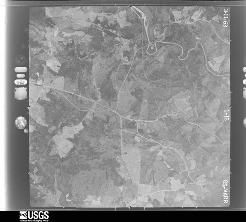
Flown by the U.S. Geological Survey between 1937 and 1989, the Aerial Photo Single Frames collection is the definitive mid-century view of the land: fields, roads and rivers as the camera saw them. The Survey holds 536 frames inside the rectangle that bounds this county; the 14 frames below were taken over the county itself, chosen across the decades of flights (at most four a year from that rectangle), so one flight cannot crowd out the rest. The full set is free to browse and download at EarthExplorer under the dataset Aerial Photo Single Frames.









The thermometers that kept this county's weather, and the gages that measured the flow of its streams, as the federal records hold them. The extremes below are measured values from those records, not estimates.
Who lived here in 1950, one enumeration district at a time, as the Census Bureau described each district. Each row opens its official National Archives result, with Population Schedules and ED Maps available there.
Every wildfire the federal occurrence database records inside this county: 388 of them, burning about 1,308 acres. 4 started naturally and 75 were recorded as arson. Each settlement page carries the fires within five miles of it.
| Reported cause | Fires |
|---|---|
| Debris and open burning | 216 |
| Arson/incendiarism | 75 |
| Equipment and vehicle use | 28 |
| Missing data/not specified/undetermined | 26 |
| Misuse of fire by a minor | 16 |
| Smoking | 11 |
| Recreation and ceremony | 7 |
| Railroad operations and maintenance | 4 |
| Natural | 4 |
| Power generation/transmission/distribution | 1 |
The five largest, by the area the report gives. Three of them were set deliberately.
| Date | Cause | Size | Reported by | Name on the report |
|---|---|---|---|---|
| 28 October 1998 | Arson/incendiarism | 46 acres | Georgia Forestry Commission | not named |
| 4 March 2017 | Debris and open burning | 41 acres | Georgia Forestry Commission | FY2017-JACKSON-019 |
| 17 March 1992 | Equipment and vehicle use | 31 acres | Georgia Forestry Commission | not named |
| 20 November 1994 | Arson/incendiarism | 26 acres | Georgia Forestry Commission | not named |
| 23 March 1999 | Debris and open burning | 25 acres | Georgia Forestry Commission | not named |
| 13 April 2006 | Misuse of fire by a minor | 24 acres | Georgia Forestry Commission | not named |
| 20 July 2008 | Arson/incendiarism | 22 acres | Georgia Forestry Commission | not named |
| 17 March 2004 | Debris and open burning | 21 acres | Georgia Forestry Commission | not named |
Every settlement page carries the fires within five miles of it - see the settlement index below.
The NOAA Storm Events Database holds 282 reports for this county, causing 1 death, 12 injuries and about $9,452,780 in recorded property damage. Each settlement page carries the reports that name it.
| Kind of event | Reports |
|---|---|
| Thunderstorm Wind | 159 |
| Hail | 79 |
| Lightning | 16 |
| Flash Flood | 16 |
| Tornado | 10 |
| Funnel Cloud | 1 |
| Flood | 1 |
The most serious of them, by death, then injury, then recorded damage. The accounts are quoted exactly as the forecast office filed them.
| When | Event | Place named | Harm | What the report says |
|---|---|---|---|---|
| March 2017 | Thunderstorm Wind | Fairview | 1 killed, $100,000 | The Jackson County Emergency Manager reported numerous trees and power lines blown down across the far western portion of the county. Trees were snapped at Guy Cooper Road and Highway 60. A tree fell onto a building and the roof was blow off of the building along Highway 332 east of Braselton. On Cambridge Farm Road in Hoschton, a tree fell onto a house killing a 29 year old man inside. |
| February 1952 | Tornado (F2) | not stated | 5 hurt, $25,000 | no account filed |
| August 2008 | Tornado (EF1) | Arcade | 3 hurt, $350,000 | A survey conducted by the National Weather Service Forecast Office in Peachtree City and the Jackson County Emergency Management Agency confirmed that an EF1 tornado touched down and caused considerable damage in northeast Jackson county. The tornado initially touched down very briefly about three miles east-northeast of Arcade near the Brockton Loop before lifting. Only minor damage to tree limbs was noted in this area. The tornado then touched down again within the city of Commerce and tracked approximately 1.25 miles through the city before lifting before reaching the Banks county line. Approximately 40 trees were uprooted or blown over by the tornado, which caused extensive damage to homes in the area. A total of three mobile homes were destroyed, one by wind, and two others from downed trees, while up to 15 site-built homes sustained minor roof damage. Three residents of the destroyed mobile homes were treated for injuries. The maximum path width of the tornado, within the city of Commerce, was determined to be 100 yards. Maximum wind within the tornado was estimated to be 100 mph. |
| April 1989 | Thunderstorm Wind | not stated | 2 hurt | no account filed |
| August 2007 | Lightning | Jefferson | 1 hurt, $100,000 | The Jackson County 911 Center reported that a home was set on fire as a result of a lightning strike. In addition, an individual was injured as a result of a lightning strike. |
| February 1990 | Thunderstorm Wind | not stated | 1 hurt | no account filed |
| August 1985 | Tornado (F1) | not stated | $2,500,000 | no account filed |
| March 2008 | Hail | Jefferson | $1,000,000 | The public reported tennis ball-sized hail in Nicholson, and quarter-sized hail in the Jefferson area. The Jackson Herald reported that extensive damage to vehicles at two car dealerships was observed. More than 3000 vehicles were damaged at Southeast Toyota and approximately 1600 vehicles were damaged at Wayne Neal Chevrolet, both in Jackson. Damages to these vehicles was estimated at $400,000. The public reported that several vehicles in the Nicholson area were also damaged. |
| April 2017 | Hail | Red Stone | $739,000 | A report of 2 inch hail in the Preserve Neighborhood near Jefferson Middle School was received on social media. |
| April 2015 | Hail | Red Stone | $646,000 | The Jackson County Emergency Manager reported golf ball size hail on Storey Porter Road. |
| August 2013 | Thunderstorm Wind | Jefferson | $600,000 | The Jackson County Emergency Manager estimated 75-80 trees were blown down, mainly in the Jefferson and Arcade area. Ten houses were damaged, most due to falling trees, but a couple had windows blown out due to the strong winds. Multiple power lines were down as well. Most of the damage was along Jett Roberts Road into downtown Jefferson and along Johnson Mill Road in Arcade. |
| June 2010 | Hail | Talmo | $370,000 | The public observed golf ball-sized hail in northern Jefferson county. Radar data suggests that hail of similar size likely fell across areas from Talmo to just north of Jefferson. |
| June 2007 | Hail | Commerce | $370,000 | Numerous reports of large hail were received from the public across Jackson county. One piece of baseball-sized hail was observed in Jefferson, but most of the hail was quarter to golf ball-sized. Quarter to golf ball-sized hail was observed north of Commerce in the Banks Crossing area, just north of Commerce, and in Jefferson. |
| March 2008 | Thunderstorm Wind | Pendergrass | $250,000 | The Georgia Emergency Management Agency reported that one home in the county had major damage and another minor damage when trees fell on the structures. Roofs were also damaged on three businesses, one at the Tanger II Outlet Mall on the Banks county line, one at a convenience store in Dry Pond, and another in Maysville. A number of trees and power lines were blown down throughout the county, including one which fell on a vehicle in Commerce. A number of signs were also damaged from strong thunderstorms winds. Power was out in much of the northern part of the county for several hours. |
| February 2012 | Lightning | Commerce | $150,000 | The Jackson County 911 Center reported a house fire sparked by lightning outside of Commerce. The house was an old Victorian home that had been converted into apartments. Seven residents escaped without injury, but the house was heavily damaged. |
| August 2010 | Lightning | Sells | $150,000 | The Athens Banner Herald reported that lightning struck a home on Marshall Clark Road. The gas line to the home was ignited, fueling a large fire at the scene. |
| June 2009 | Lightning | Hurricane Shoals | $150,000 | The Athens Banner/Herald reported several lightning incidents across eastern Jackson county as strong thunderstorms moved from northwest to southeast shortly after midnight EDT. The roof of a unit at the Oak Hill Apartments on Old Hull Road in Commerce was set on fire by a lightning strike. Also, near Commerce, a chicken house on Wilson Road was set on fire and completely destroyed. Further southeast on Birch Street in Nicholson, a barn was set on fire and destroyed by a lightning strike. |
| September 2009 | Lightning | Jefferson | $110,000 | The Jackson Herald of Jefferson reported that a vacant home on Margie Court was struck by lightning. The lightning strike resulted in a fire to the attic of the home. In addition, a 10 by 10 outbuilding in the 2000 block of Jackson Trail Road was also struck by lightning and set on fire. The structure was completely destroyed. |
| July 2023 | Thunderstorm Wind | Jefferson | $100,000 | Numerous trees down across multiple blocks along Mahaffey Street in Jefferson. Approximately 10 trees down on vehicles or houses. |
| February 2011 | Thunderstorm Wind | Arcade | $100,000 | The Jackson Herald of Jefferson reported that a number of trees were down in the Arcade area. One home suffered major damage and two others suffered minor damage from trees that fell on the structures. |
| August 2010 | Lightning | Hoschton | $100,000 | The Athens Banner Herald reported that lightning struck a home on Antrim Glen Road. The structure suffered moderate fire and smoke damage. |
| August 2007 | Lightning | Arcade | $100,000 | The Jackson County 911 Center reported that another home was struck and set on fire by lightning in the far southern part of the county near the Oconee county line, just across the border from Bogart. |
| March 2017 | Tornado (EF1) | Clarksboro | $75,000 | A National Weather Service survey team found an EF-1 tornado that began south of New Kings Bridge Road southeast of Jefferson where it destroyed a home under construction. The tornado then travelled east for just under a half of a mile across an open field where it snapped and uprooted several trees before ending near Jefferson River Road where it caused minor damage to another home. Maximum winds reached 95 MPH and the maximum path width was 100 yards. [03/21/17: Tornado #2, County #1/1, EF-1, Jackson, 2017:032]. |
| January 2007 | Thunderstorm Wind | Pendergrass | $75,000 | The Jackson County 911 Center reported that thunderstorm winds caused considerable damage across mainly the north part of the county from Pendergrass to Commerce. In the north part of the county at 36 Banks Road, just of U.S. Highway 441, a tree fell on a house causing significant damage to the structure. The residents of the home were temporarily displaced because of the damage. In Pendergrass, a chicken house and nearby rental property were damaged. Some water was reported on roads in the Nicholson area from Gum Creek, but no flooding was reported. |
| July 2003 | Thunderstorm Wind | Pendergrass | $75,000 | The Jackson county Deputy Emergency Management Director reported that a thunderstorm downburst or microburst had caused considerable damage in the city of Pendergrass. The City Hall and an adjacent temporary garage sustained significant damage, as well as a nearby vehicle. Numerous trees and several power lines were also blown down in the area and power outages were widespread throughout the city for several hours. In Jefferson, the public reported that the roof was blown off a Wendy's restaurant and several trees were blown down as well. |
| July 1997 | Thunderstorm Wind | Commerce | $75,000 | Thunderstorm winds knocked over trees as well as the gate-ticket building at the Atlanta Dragway. A gate was also destroyed. |
| July 2022 | Lightning | Sells | $50,000 | Structural fire on 4900 block of Hwy 332 due to lightning strike. |
| November 2016 | Tornado (EF1) | Grove Level | $50,000 | A National Weather Service storm survey team found that an EF1 tornado with maximum winds of 90 MPH moved along a path with a maximum width of 100 yards for 2.3 miles across portions of Jackson County. The tornado began near a poultry supply store on Maysville Road just north of I-85 where it blew over 5, half-ton, unsecured poultry feed bins and downed several large tree branches. The tornado moved northeast paralleling the interstate. Two street signs were bent over along Ridgeway Church Road. The tornado path crossed over a large outlet mall where no apparent damage was noted, however the most severe damage occurred just past the mall where an automobile trailer sales business had two large overhead doors blown in and the front door to the business blown off. Several trailers were rolled about 50 feet and damage to the roof of the building was also noted at this location. The tornado then continued northeastward where it crossed into Banks County. [11/30/16: Tornado #6, County #1/2, EF1, Jackson, 2016:012]. |
| December 2016 | Tornado (EF1) | Red Stone | $50,000 | A National Weather Service storm survey found that an EF-1 tornado, associated with a nocturnal supercell thunderstorm within a broken line of storms, produced damage south of the city of Jefferson in Jackson County. The damage path began with the snapped trunks of small trees southwest of Jefferson, just north of Lee Street/Winder Highway near the intersection with Highway 129. The tornado moved east-southeast to the intersection of M.L. King Jr. Drive and Magnolia Avenue, uprooting and snapping at least a half dozen tress and overturning a small storage shed at the Paradise AME Church. The tornado then crossed Athens Street and moved along Georgia Bell Drive and Dixie Red Avenue uprooting trees and causing minor damage to several homes in the area. The tornado uprooted trees at the end Meadow Lane and along Jefferson River Road before dissipating just north of the intersection of Jefferson River Road and River Meadows Drive around 3.5 miles from its starting point. The maximum winds speeds within this tornado were estimated to be up to 105 MPH with a maximum path width of 250 yards. [12/29/16: Tornado #1, County #1/1, EF1, Jackson, 2016:013]. |
| June 2011 | Thunderstorm Wind | Center | $50,000 | The Jackson County 911 Center reported extensive wind damage in the southeast part of the county, just southwest of Center. The roof of a commercial building collapsed and damage was also reported to a gymnasium next door. At least 10 trees and several power lines were down in the vicinity as well. |
| June 2009 | Thunderstorm Wind | Maysville | $50,000 | The Jackson County 911 Center reported that a number of trees and several power lines were down across the county. The Jackson Herald reported that numerous large old oak trees were down at the Shields-Ethridge Heritage Farm near Arcade. Some of these trees fell on the farm's historic outbuildings. The Athens Banner/Herald reported that 16 roads were blocked during the night from downed trees. |
| June 1998 | Thunderstorm Wind | Countywide | $50,000 | Severe thunderstorm winds continued into Jackson county. Newspaper accounts said that trees were knocked down countywide, damaging several homes, and causing widespead power outages. |
| August 2007 | Thunderstorm Wind | Talmo | $35,000 | A storm spotter reported that a chicken house was destroyed from a thunderstorm downburst or microburst in the Talmo area. One tree was down about halfway between Jefferson and Nicholson, and another tree fell on a vehicle on Georgia Highway 11, Winder-Jefferson Highway near the Barrow county line. No injuries were reported from this incident. |
| September 2009 | Flash Flood | Goochville | $30,000 | The Jackson County Emergency Management Director reported flash flooding along Walnut Creek near the Hall county line in extreme northwest Jackson county. The creek flooded and washed out the bridge on Cooper Bridge Road. No damage to homes or businesses was observed during this time frame. Monetary damage to the road was estimated to be $30,000. |
| June 2001 | Lightning | Maysville | $30,000 | The Jackson County 911 center reported that lightning struck a mobile home. The home was set on fire and completely destroyed. In a separate incident, lightning struck a $10,000 power generator to a chicken house and destroyed the generator. |
| June 2021 | Thunderstorm Wind | Jefferson | $25,000 | The Jackson County Emergency Manager reported wind damage to a warehouse on Cobb Street in Jefferson. A sheet metal awning was torn from the side of the building and roof damage occurred. |
| August 2018 | Thunderstorm Wind | Thurmack | $25,000 | The Jackson County Emergency Manager reported a few trees blown from east of Braselton to southwest of Jefferson. One tree was down across Winder Highway and another was blown down onto a house and a parked car on Ward Road. No injuries were reported. |
| August 2016 | Thunderstorm Wind | Arcade | $25,000 | The Jackson County Emergency Manager reported two barns with roofs blown off as well as damage to an airplane hangar and trees blown down around the intersection of Galilee Church Road and W.H. Hayes road. |
| June 2011 | Thunderstorm Wind | Holly Spgs | $25,000 | The Jackson County 911 Center reported that a barn was destroyed on Holly Springs Road and at least six trees were blown in the far northeast part of the county approximately five miles west-southwest of Maysville in extreme northeast Jackson county near the Banks county line. |
| August 2010 | Lightning | Commerce | $25,000 | The Athens Banner Herald reported that lightning struck a tree next to a home on State Street in Commerce. The tree subsequently fell onto the roof of the adjacent garage, causing damage to the structure. |
| August 2008 | Thunderstorm Wind | Pendergrass | $25,000 | The Jackson County 911 Center reported that at least seven trees were down across the northern portion of the county from near Pendergrass to Commerce. Trees were reported down along Lanier Road, South Apple Valley Road, Georgia Highway 60, Georgia Highway 335, Kingsbridge Road, and near the Jefferson First Baptist Church. One tree fell on a home in the Commerce area causing moderate damage to the structure. In addition, damage was also reported to the porch of a home on Harp Street in the Commerce. |
| June 2007 | Thunderstorm Wind | Commerce | $25,000 | The public reported that a number of trees were blown down throughout the county. One tree fell on and damaged a truck in Commerce. |
| May 1966 | Tornado (F2) | not stated | $25,000 | no account filed |
| July 2023 | Thunderstorm Wind | Jefferson | $23,000 | At least 23 reports of trees down across Jackson County. |
| September 2019 | Thunderstorm Wind | Jefferson | $20,000 | The Jackson County Emergency Manager reported numerous trees and a few power lines blown down across the city of Jefferson. |
| March 2017 | Thunderstorm Wind | Arcade | $20,000 | The Jackson County Fire Department reported trees blown down on cars in Arcade. No injuries were reported. |
| July 2017 | Thunderstorm Wind | Apple Vly | $20,000 | The Jackson County Emergency Manager reported numerous trees blown down from near Apple Valley to Nicholson including around the intersection of South Apple Valley Road and Hoods Mill Road and also on Willard Pittman Road where a tree fell on a home. No injuries were reported. |
| August 2010 | Thunderstorm Wind | Red Stone | $20,000 | The Jackson County 911 Center reported that a portion of a roof was blown off one home and a chimney was blown off another home on Jameston Drive near Jefferson. One tree was also down on Ralph Garrison Road. |
| August 2005 | Tornado (F0) | Braselton | $20,000 | The Jackson County Emergency Management Director reported that a tornado had touched down just southeast of Braselton and traveled approximately one mile to the north. The tornado crossed Georgia Highway 124, and then ended just before Interstate-85. Several dozen large trees were blown down in the area, some on roads and power lines. In addition, minor damage was reported to roofs on a few homes. Damage was confined largely to debris clean up. |
| August 2020 | Thunderstorm Wind | Attica | $15,000 | The public reported several large pecan trees blown down. |
| August 2003 | Thunderstorm Wind | Commerce | $15,000 | The Jackson county 911 center reported that one tree was blown down in Commerce and a utility pole was down on an 18-wheel truck on Interstate-85 just north of Commerce. A few other trees were also down in the same general area. |
| July 1997 | Thunderstorm Wind | Commerce | $15,000 | Thunderstorm winds knocked down two large trees as well as a 100 foot by 20 foot wall. |
| June 2020 | Thunderstorm Wind | Fairview | $12,000 | The public reported trees blown down between Braselton and Pendergrass, including one on a home near the intersection of Highway 124 and Highway 332. |
| June 2019 | Flash Flood | Center | $10,000 | New Kings Bridge Road was closed at Shankles Creek between Sawdust Trail and Tommy Barnett Road due to erosion from flood waters around the culvert. Radar estimates indicate that three to four inches of rain occurred over the area in a short period of time, resulting in excessive runoff and flash flooding of Shankles Creek. |
| April 2019 | Thunderstorm Wind | Hoschton | $10,000 | The Jackson County 911 center reported several trees blown down from along Indian Creek Road and along Josh Pirkle Road in the Braselton area to along Ila Road in the Commerce area. |
| May 2018 | Thunderstorm Wind | Hurricane Shoals | $10,000 | The Jackson County 911 center reported a few trees down between Commerce and Maysville, along Red Oak Road and Woods Bridge Road. |
| July 2017 | Lightning | Marcus | $10,000 | The Jackson County 911 center reported a house struck by lightning on Tom Finch Road causing a fire in the attic. |
| August 2015 | Thunderstorm Wind | Commerce | $10,000 | The Jackson County 911 Center reported trees and power lines down in the Commerce area, including around the intersection of U.S. Highway 441 and State Highway 334. |
| June 2011 | Thunderstorm Wind | Maysville | $10,000 | The public reported that there was considerable wind damage within the city of Commerce in the northeast part of the county. Several trees were blown down across the city. A large billboard sign was blown down as the pole was snapped in half and splintered. |
| April 2011 | Thunderstorm Wind | Maysville | $10,000 | The Jackson County 911 Center reported that dozens of trees were down across the county. The public reported that a sign at the Nicholson Baptist Church was destroyed by the strong winds. |
One book written about this county, cut here where the book itself is cut, at its printed chapters: 23 chapters in all. Every chapter is public domain, machine-read from the scan and reproduced complete. A chapter already given under one of the county's towns is not repeated in this list.
| Chapter | Length |
|---|---|
| Chapter 1 (1 of 4 so headed) | 3,980 words |
| Chapter 2 (1 of 4 so headed) | 3,607 words |
| Chapter 3 (1 of 5 so headed) | 1,938 words |
| Chapter 1 (2 of 4 so headed) | 3,271 words |
| Chapter 2 (2 of 4 so headed) | 4,239 words |
| Chapter 3 (2 of 5 so headed) | 3,937 words |
| Chapter 4 (1 of 3 so headed) | 4,033 words |
| Chapter 5 | 4,811 words |
| Chapter 6 | 4,944 words |
| Chapter 7 | 4,426 words |
| Chapter 8 | 4,272 words |
| Chapter 9 | 6,551 words |
| Chapter 10 | 3,332 words |
| Chapter 11 | 9,458 words |
| Chapter 1 (3 of 4 so headed) | 3,175 words |
| Chapter 2 (3 of 4 so headed) | 3,272 words |
| Chapter 3 (3 of 5 so headed) | 2,604 words |
| Chapter 4 (2 of 3 so headed) | 3,532 words |
| Chapter 3 (4 of 5 so headed) | 3,999 words |
| Chapter 1 (4 of 4 so headed) | 1,729 words |
| Chapter 2 (4 of 4 so headed) | 2,144 words |
| Chapter 3 (5 of 5 so headed) | 888 words |
| Chapter 4 (3 of 3 so headed) | 6,727 words |
Named settlements recorded in the Geographic Names Information System, each with the topographic sheets covering it. Villages, hamlets and abandoned places alike. Each is shown with the nearest named watercourse or landform and the survey quadrangle it falls on. The 3 places that were also surveyed for fire insurance come first, with the number of atlases and photographs held for them.
Commerce census division · 30529 · Commerce quadrangle
14 sheets, 1891 to 1979
Fire insurance: 4 atlases
Jefferson census division · 30549 · Jefferson quadrangle
12 sheets, 1891 to 1979
Fire insurance: 3 atlases
Jefferson census division · 30529 · On Borders Creek · Apple Valley quadrangle
13 sheets, 1891 to 1979
Jefferson census division · 30549 · On Parks Creek · Nicholson quadrangle
14 sheets, 1891 to 1979
Nicholson census division · 30565 · On Shankles Creek · Nicholson quadrangle
14 sheets, 1891 to 1979
West Jackson census division · 30567 · On Lott Creek · Pendergrass quadrangle
12 sheets, 1891 to 1979
West Jackson census division · 30517 · On Lott Creek · Chestnut Mountain quadrangle
15 sheets, 1891 to 1992
Jefferson census division · 30549 · On Holders Creek · Pendergrass quadrangle
12 sheets, 1891 to 1979
Maysville census division · 30558 · On Stockton Creek · Apple Valley quadrangle
13 sheets, 1891 to 1979
No longer a settlement
Jefferson census division · 30549 · Winder North quadrangle
15 sheets, 1891 to 1979
No longer a settlement
West Jackson census division · 30567 · On Mountain Creek · Pendergrass quadrangle
12 sheets, 1891 to 1979
West Jackson census division · 30567 · On Banigan Branch · Pendergrass quadrangle
12 sheets, 1891 to 1979
No longer a settlement
West Jackson census division · 30548 · On Indian Creek · Winder North quadrangle
15 sheets, 1891 to 1979
Jefferson census division · 30607 · On Redstone Creek · Jefferson quadrangle
12 sheets, 1891 to 1979
No longer a settlement
West Jackson census division · 30575 · On Banigan Branch · Pendergrass quadrangle
12 sheets, 1891 to 1979
West Jackson census division · 30517 · On Lott Creek · Pendergrass quadrangle
12 sheets, 1891 to 1979
The vanished settlements of Jackson County: the places named above that are no longer on the map.
14 topographic sheets and 4 fire insurance atlases, 1908 to 1943
12 topographic sheets and 3 fire insurance atlases, 1916 to 1926
0 topographic sheets and 2 fire insurance atlases, 1895 to 1901
The complete index, with nothing left out. Each of these is a separate record with its own page: a federal survey report, or the case file that argued a property on to the National Register. Both are public domain and reproduced word for word.
The vanished settlements of Jackson County, the places these records name that are no longer on the map.