 Block
From the record
2 National Register listings published here.
Sources: the National Register database, National Park Service
16 topographic sheets and 2 fire insurance atlases across 1 place.
2 National Register listings published here.
Sources: the National Register database, National Park Service
Every property in this county listed on the National Register of Historic Places, with the year it was listed and the federal nomination document.
| Photograph | Property | Type | Listed | Reference |
|---|---|---|---|---|
 | Jeff Davis County Courthouse | building | 1980 | 80001098 |
 | Pace House | building | 2003 | 03000591 |
Flown by the U.S. Geological Survey between 1937 and 1989, the Aerial Photo Single Frames collection is the definitive mid-century view of the land: fields, roads and rivers as the camera saw them. The Survey holds 839 frames inside the rectangle that bounds this county; the 26 frames below were taken over the county itself, chosen across the decades of flights (at most four a year from that rectangle), so one flight cannot crowd out the rest. The full set is free to browse and download at EarthExplorer under the dataset Aerial Photo Single Frames.
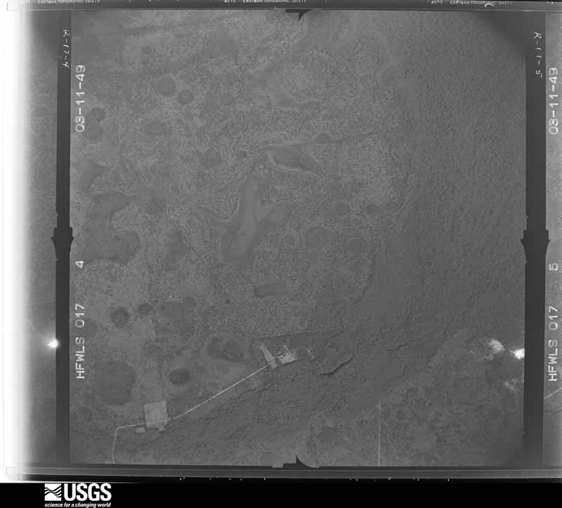
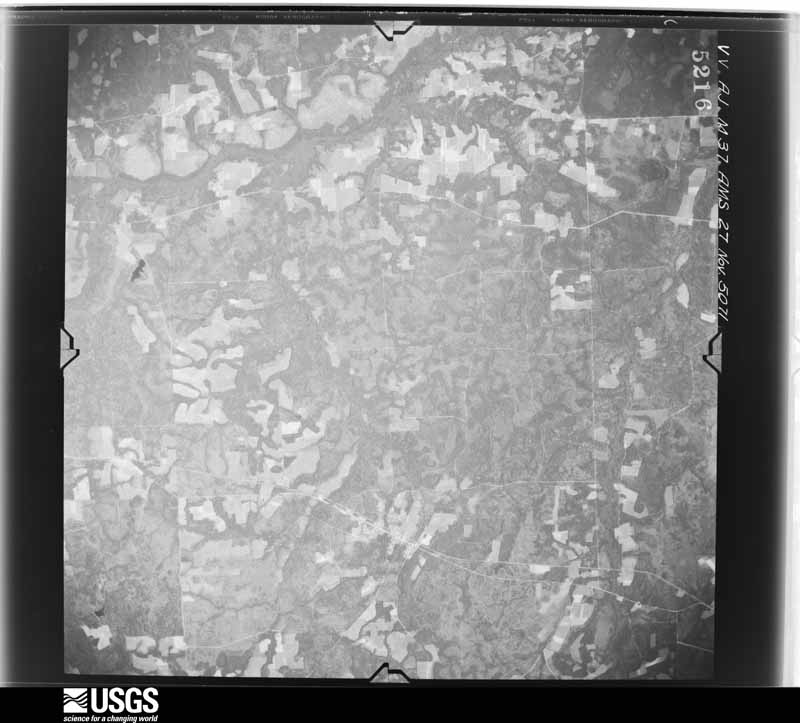
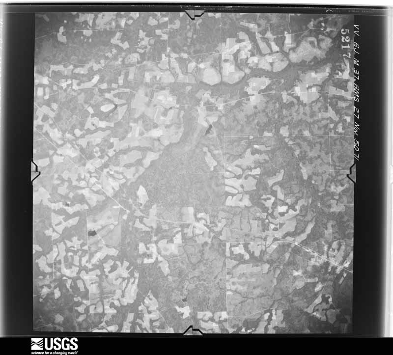
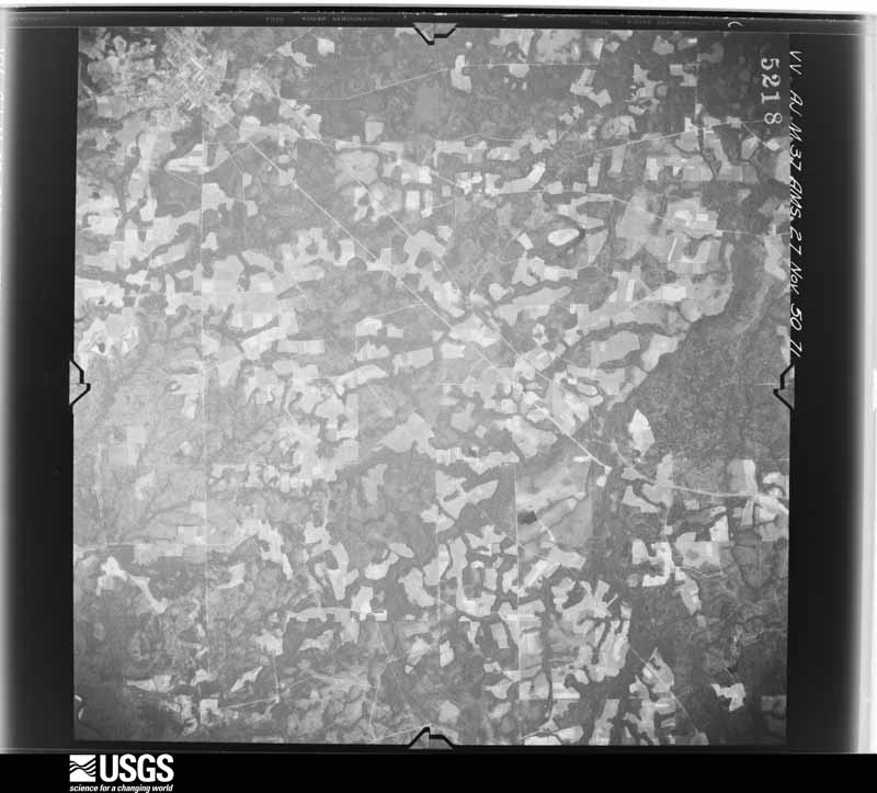
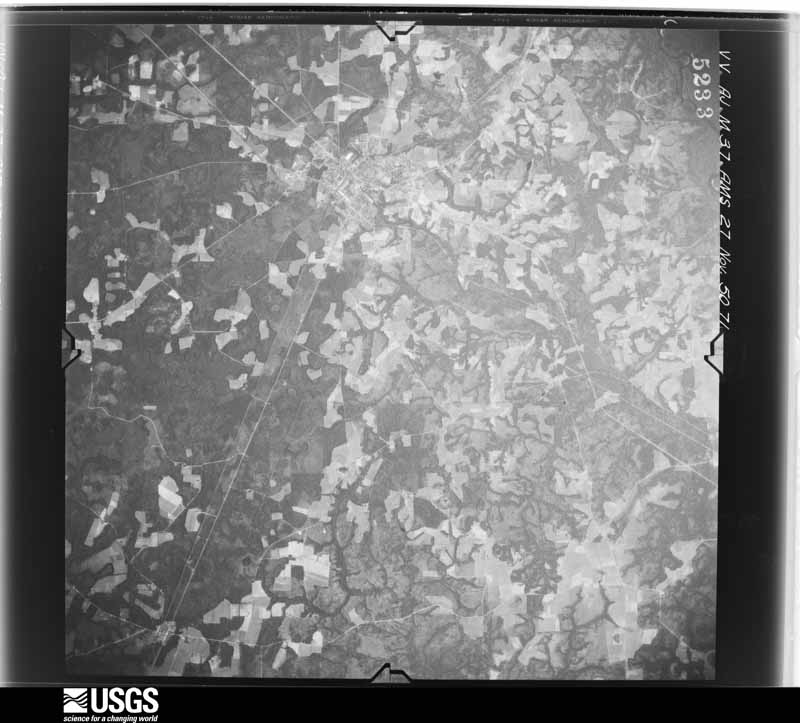
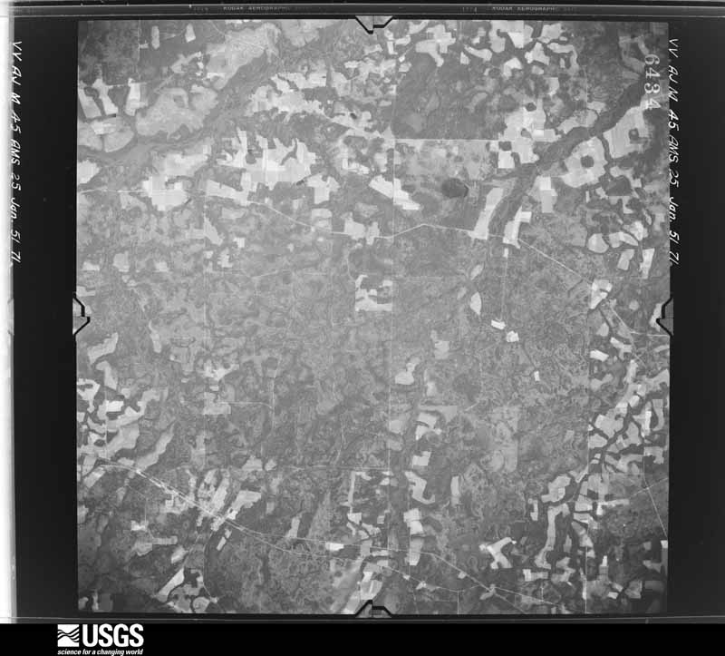
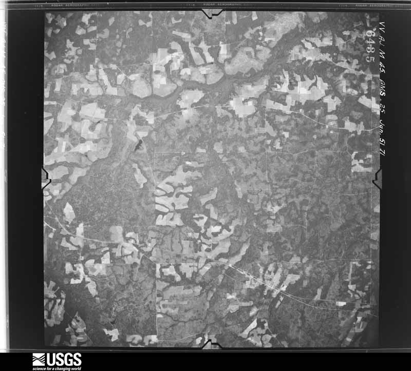

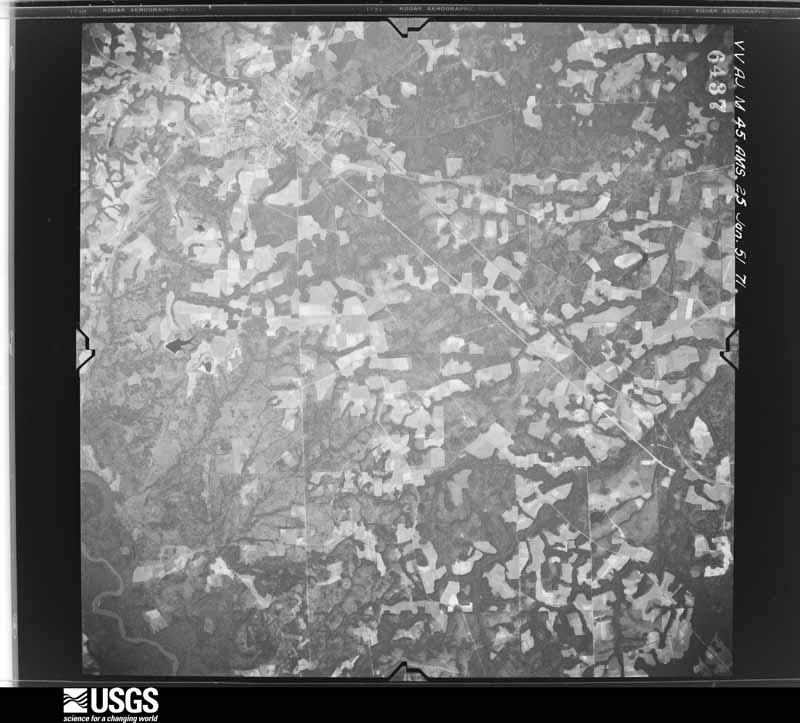
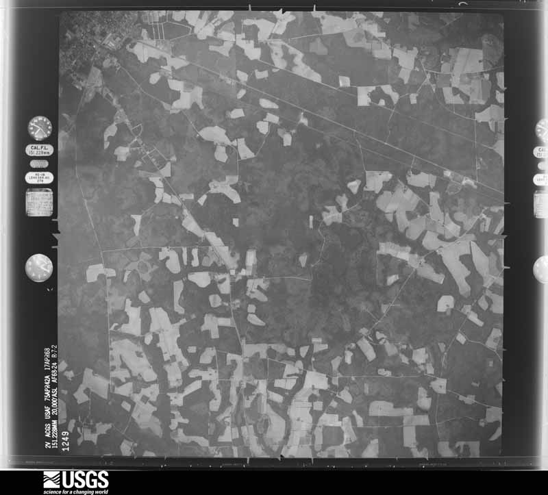
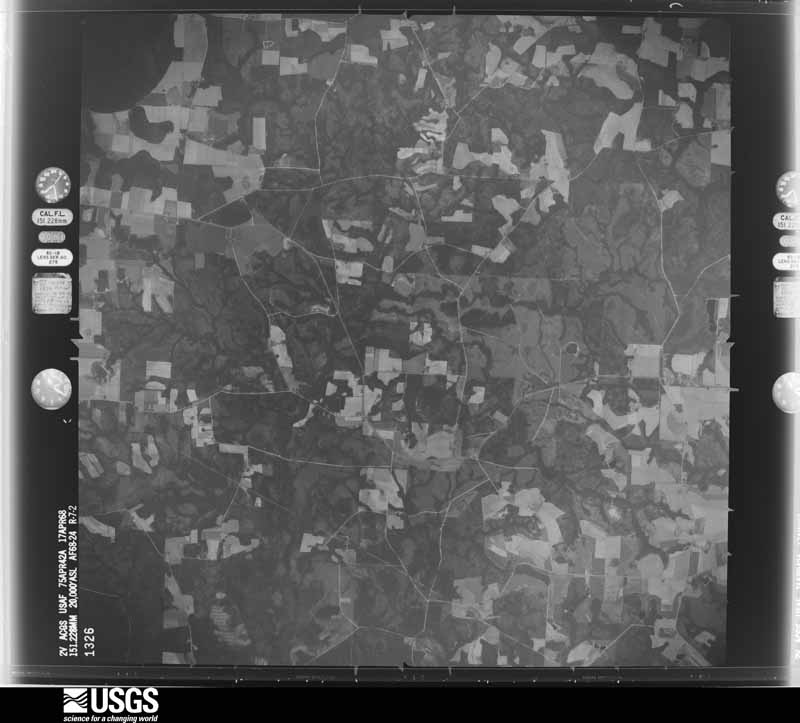
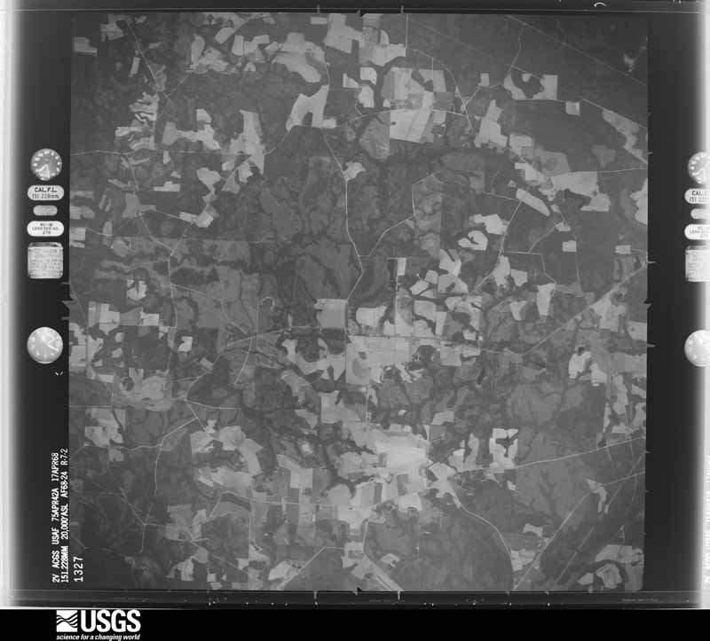
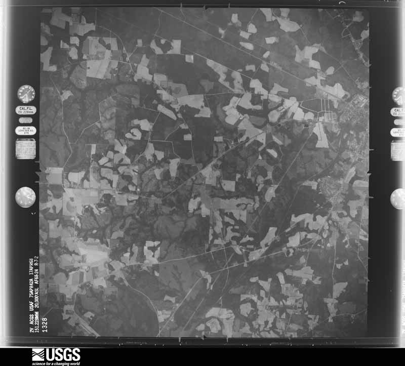
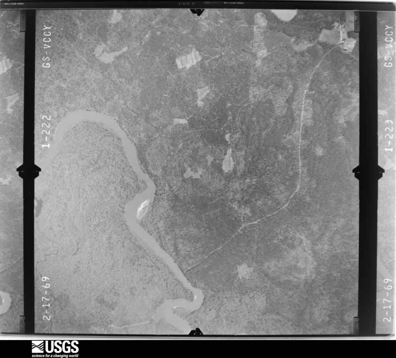
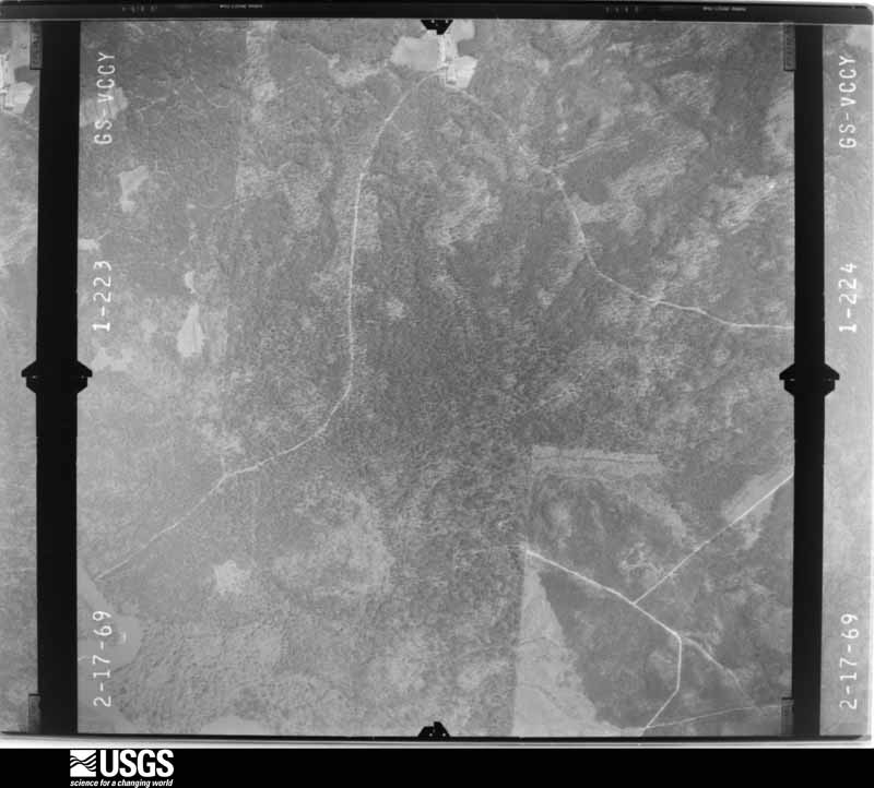
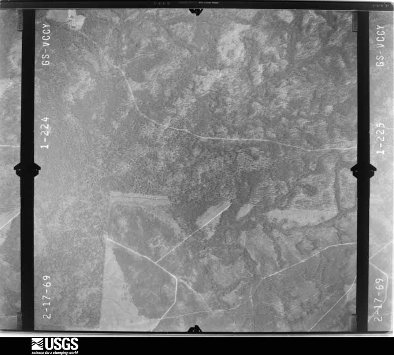
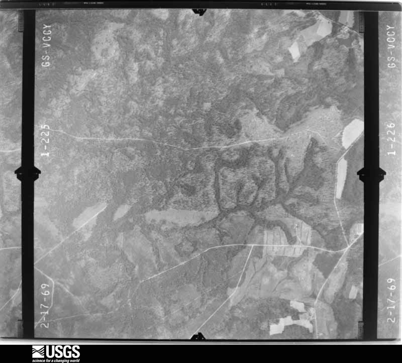
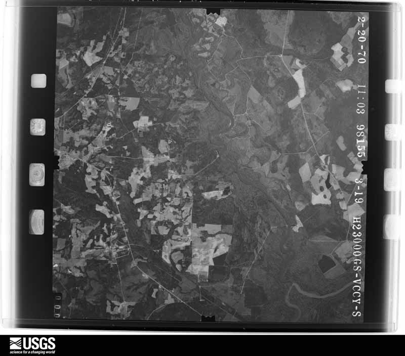
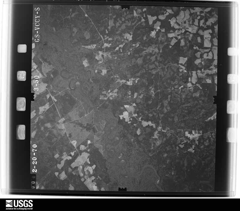
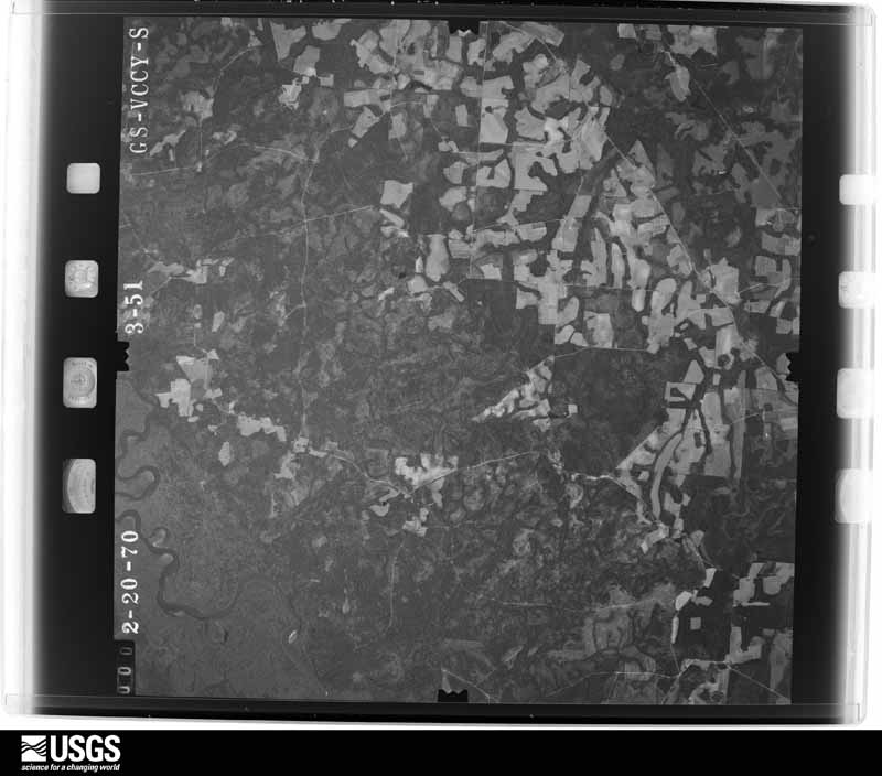

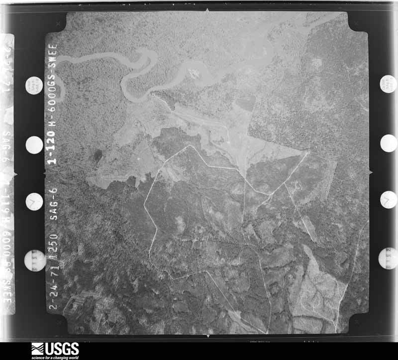
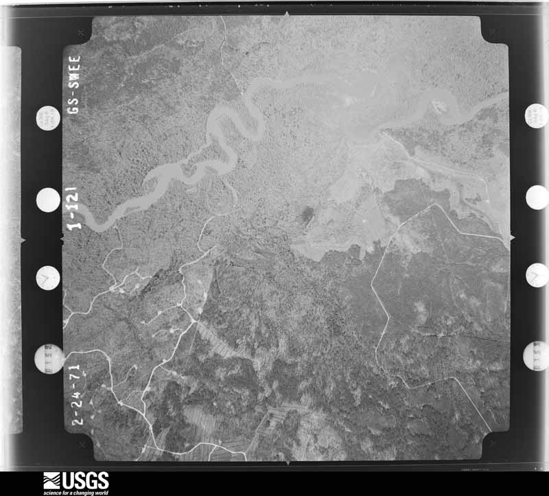
The thermometers that kept this county's weather, and the gages that measured the flow of its streams, as the federal records hold them. The extremes below are measured values from those records, not estimates.
Who lived here in 1950, one enumeration district at a time, as the Census Bureau described each district. Each row opens its official National Archives result, with Population Schedules and ED Maps available there.
Every wildfire the federal occurrence database records inside this county: 1,751 of them, burning about 6,418 acres. 115 started naturally and 161 were recorded as arson. Each settlement page carries the fires within five miles of it.
| Reported cause | Fires |
|---|---|
| Debris and open burning | 1075 |
| Arson/incendiarism | 161 |
| Missing data/not specified/undetermined | 136 |
| Natural | 115 |
| Smoking | 76 |
| Misuse of fire by a minor | 67 |
| Recreation and ceremony | 60 |
| Equipment and vehicle use | 55 |
| Railroad operations and maintenance | 6 |
The five largest, by the area the report gives. One of them was set deliberately.
| Date | Cause | Size | Reported by | Name on the report |
|---|---|---|---|---|
| 23 July 2000 | Natural | 997 acres | Georgia Forestry Commission | FY2001-JEFF DAVIS-006 |
| 26 September 1996 | Natural | 250 acres | Georgia Forestry Commission | not named |
| 21 April 2002 | Arson/incendiarism | 141 acres | Georgia Forestry Commission | FY2002-JEFF DAVIS-033 |
| 27 August 2011 | Debris and open burning | 123 acres | Georgia Forestry Commission | FY2012-JEFF DAVIS-008 |
| 20 February 2014 | Debris and open burning | 110 acres | Georgia Forestry Commission | FY2014-JEFF DAVIS-016 |
| 20 February 2011 | Debris and open burning | 102 acres | Georgia Forestry Commission | FY2011-JEFF DAVIS-096 |
| 20 April 2000 | Debris and open burning | 94 acres | Georgia Forestry Commission | FY2000-JEFF DAVIS-5000 |
| 23 March 2004 | Missing data/not specified/undetermined | 89 acres | Georgia Forestry Commission | not named |
Every settlement page carries the fires within five miles of it - see the settlement index below.
The NOAA Storm Events Database holds 177 reports for this county, causing no deaths, no injuries and about $521,500 in recorded property damage. Each settlement page carries the reports that name it.
| Kind of event | Reports |
|---|---|
| Thunderstorm Wind | 109 |
| Hail | 39 |
| Tornado | 8 |
| Heavy Rain | 6 |
| Lightning | 6 |
| Flash Flood | 4 |
| Flood | 4 |
| Funnel Cloud | 1 |
The most serious of them, by death, then injury, then recorded damage. The accounts are quoted exactly as the forecast office filed them.
| When | Event | Place named | Harm | What the report says |
|---|---|---|---|---|
| January 1963 | Tornado (F1) | not stated | $250,000 | no account filed |
| July 2002 | Thunderstorm Wind | Hazelhurst | $80,000 | Numerous large trees down. Power lines down. Large truck trailer overturned. Concrete block structure destroyed. |
| July 1987 | Tornado (F1) | not stated | $25,000 | no account filed |
| June 1977 | Tornado (F1) | not stated | $25,000 | no account filed |
| July 2015 | Lightning | Denton | $20,000 | A lightning fire caused major damage to a home on Towns Creek Road. The cost of damage was unknown but it was estimated for the event to be included in Storm Data. |
| June 1998 | Thunderstorm Wind | Hazelhurst | $15,000 | Roof lifted off a tobacco barn. Large trees were blown down. |
| March 1998 | Flash Flood | Countywide | $15,000 | Numerous roads and streets were closed. |
| November 1995 | Thunderstorm Wind | Hazlehurst | $15,000 | Eight large trees and several power lines were blown down. Two buildings received structural damage. |
| January 1998 | Tornado (F0) | Hazelhurst | $15,000 | no account filed |
| March 2026 | Thunderstorm Wind | Roper | $10,000 | Reports of trees and powerlines down across the area. Time estimated from radar. |
| September 1998 | Flash Flood | Countywide | $10,000 | Rainfall amounts of 5 to 7 inches from the remnants of Hurricane Georges caused the closing of numerous street and road. |
| July 2015 | Lightning | Hazelhurst | $5,000 | A lightning fire caused minor damage to a home in Hazelhurst. The cost of damage was unknown but it was estimated for the event to be included in Storm Data. |
| December 2002 | Tornado (F0) | Hazelhurst | $5,000 | Brief touchdown. Trees down on power lines with power lines down. Power poles snapped off above ground. |
| June 2001 | Thunderstorm Wind | Hazelhurst | $4,500 | Numerous reports of large trees and power lines were blown down. |
| June 2001 | Thunderstorm Wind | Hazelhurst | $2,500 | Large trees and power lines were blown down. |
| February 2000 | Thunderstorm Wind | Hazelhurst | $2,500 | Large trees and power lines were blown down. |
| June 2000 | Thunderstorm Wind | Hazelhurst | $2,500 | Large trees and power lines were blown down. |
| August 2012 | Lightning | Hazelhurst | $2,000 | A substation at Highway 23 and Hinson Farm Road was struck by lightning. A power outage occurred which affected 1,577 customers. The cost of electrical damage was estimated. |
| August 2007 | Lightning | Hazelhurst Arpt | $2,000 | Lightning struck a tree and damaged a near by building. Damaged cost was estimated. |
| May 1998 | Thunderstorm Wind | Hazelhurst | $2,000 | Large trees were blown down. |
| April 1998 | Thunderstorm Wind | Hazelhurst | $2,000 | Large trees and power lines were blown down. |
| March 1998 | Thunderstorm Wind | Hazelhurst | $2,000 | Large trees and power lines were blown down. |
| January 1998 | Thunderstorm Wind | Hazelhurst | $1,500 | Large trees were blown down along Highway 19. |
| April 1998 | Thunderstorm Wind | Hazelhurst | $1,500 | Large trees and power lines were blown down. |
| June 1998 | Thunderstorm Wind | Hazelhurst | $1,500 | Large trees were blown down West of HWY 341. |
| June 2022 | Thunderstorm Wind | Hazelhurst | $1,000 | Multiple trees down and hail were reported in Hazlehurst and surrounding areas. Timing of events estimated by radar. |
| May 2002 | Thunderstorm Wind | Countywide | $1,000 | Power lines blown down. |
| July 2024 | Thunderstorm Wind | Hazelhurst | $500 | Tree and powerlines were reported down along South Miller St. The time of damage was estimated by radar. The cost of damage was unknown, but it was estimated for inclusion of the event in Storm Data. |
| July 2017 | Thunderstorm Wind | Hazelhurst Arpt | $500 | Power lines were blown down along John Long Road. The time of damage was estimated and the coast was estimated for inclusion of the event in Storm Data. |
| July 2016 | Thunderstorm Wind | Halls Spur | $500 | A power line was blown down along U.S. Highway 221 (Uvalda Highway) northeast of Hazelhurst. The cost of damage was unknown but estimated for the event to be included in Storm Data. |
| August 2011 | Lightning | Hazelhurst | $500 | Lightning caused a tree fire on 31 Sparrow Lane in Hazlehurst. |
| August 1998 | Thunderstorm Wind | Hazelhurst | $500 | Large trees were blown down. |
| April 1997 | Thunderstorm Wind | Hazelhurst | $500 | Large trees were blown down. |
| August 2025 | Heavy Rain | Halls Spur | - | Private weather station SCS Farms KGAHAZLE6 measured 2.23 inches of rain in the past hour. Rain began around 245 PM. |
| May 2024 | Thunderstorm Wind | Snipesville | - | Trees were blown down on Broxton Highway. The time of damage was based on radar. |
| May 2024 | Thunderstorm Wind | Hazelhurst | - | Trees were blown down along J.P. Hall Road. The time of damage was based on radar. |
| September 2024 | Flood | Hazelhurst | - | Street flooding was reported near the Jeff | Davis public library. Significant parking | lot flooding was also reported at the | Farmers market. |
| September 2024 | Heavy Rain | Hazelhurst Arpt | - | A mesonet station LBRG1 0.9 SE Lumber City | measured 3.96 inches of rain. Rain began | around 330 PM. About 2.86 in. fell between | 430 PM and 630 PM. |
| August 2024 | Thunderstorm Wind | Halls Spur | - | At least a half dozen trees and several | wires were blown down around northeastern Jeff Davis | County per 911 dispatch. The time of damage was based on radar. |
| July 2024 | Flood | Roper | - | A road was | washed our near Toliver Schell Road. Time | estimated from radar. |
| January 2024 | Thunderstorm Wind | Hazelhurst Arpt | - | Straight line winds near Kendell Stone Road, Pat Dixon Road, and Kirkland Still Road snapped large pine trees, caused roof damage and damage to a barn. A brief gustnado with peak winds of 100-110 mph occurred at 38 Marchant Field. The time of damage was based on emergency service calls. |
| August 2024 | Thunderstorm Wind | Hazelhurst | - | The public shared photos of several trees down on a local property in Hazlehurst, GA. The time of damage was based on radar data. |
| January 2023 | Thunderstorm Wind | Hazelhurst | - | A tree was blown down across Bell Telephone Road. The time of damage was based on radar. |
| January 2023 | Thunderstorm Wind | Denton | - | A few large trees and one powerline were blown down in the SW portion of the county. The time of damage was based on radar. |
| April 2023 | Thunderstorm Wind | Roper | - | A tree was blown down in a field. |
| April 2023 | Thunderstorm Wind | Hazelhurst | - | Trees and power lines were blown down. The time of damage was based on radar. |
| April 2023 | Thunderstorm Wind | Hazelhurst | - | Tree and power lines were blown down. The time of damage was based on radar. |
| April 2023 | Thunderstorm Wind | Hazelhurst | - | A tree was blown down onto a powerline. The time of damage was based on radar. |
| April 2023 | Thunderstorm Wind | Hazelhurst | - | A tree was blown down onto a power line. The time of damage was based on radar. |
| July 2023 | Thunderstorm Wind | Snipesville | - | Extensive wind damage to trees occurred in Snipesville. The time of damage was based on radar. |
| July 2023 | Thunderstorm Wind | Roper | - | Widespread trees were blown down along the Douglas Highway from Denton to Hazlehurst. The time of damage was based on radar. |
| July 2023 | Thunderstorm Wind | Snipesville | - | A tree was blown down onto a home along Broxton Highway, just NNE of Snipesville. Power lines and trees were blown down along Bell Telephone Road heading toward Hazlehurst. The time of damage was based on radar. |
| January 2022 | Thunderstorm Wind | Hazelhurst | - | Powerlines were blown down outside of Hazlehurst. The time of damage was based on radar. |
| January 2022 | Flood | Hazelhurst | - | Delete this. |
| December 2021 | Thunderstorm Wind | Roper | - | Multiple reports of damage near the intersection of Preston Long road, Elizabeth Church road and US 221 N Highway. Multiple large hardwood trees were uprooted. A roof deck was uplifted from a house and lost a significant amount of roof covering material. The fast food restaurant next to the house also lost roof covering but around less than 20 percent. Another house across US 221 N HWY had broken glass in its windows and doors. Also, a manufactured home had damage to its skirting. It was also reported that a home owners chicken pen and trampoline were blown away from his yard during the severe thunderstorm and werent recovered. |
| December 2021 | Tornado (EF1) | Denton | - | Just after 430 pm, a severe thunderstorm spawned a weak tornado that touched down just west of US 221 at Wooten farm road snapping softwood trees as it continued east northeast at 25 mph along Denton Still road crossing US 221 into Archie Miller road where the tornado damaged the garage doors of a farm outbuilding and removed shingles from the roofs of a few homes. The tornado stayed on the ground as it traveled east northeast strengthening to EF1 intensity. It then caused significant roof loss to a farmhouse and other homes and blew off the metal roof of a storage building just south of Yankee road about a half mile west of Bell Telephone road. Multiple trees and powerlines were down also along Bell Telephone road. The tornado moved east to northeast through Baucom and Brantley roads snapping and uprooting more large trees and toppling power lines before dissipating down to EF0 intensity as it tracked over Alma highway and then lifted and completely dissipated as the severe thunderstorm moved into Appling county before 500 PM. |
| February 2020 | Thunderstorm Wind | Brooker | - | Storms produced widespread trees down and power lines down across the county. Some local roads were flooded. |
| March 2020 | Hail | Denton | - | Nickel size hail was reported at the Denton Quick Stop. The time of the report was based on radar. |
| March 2020 | Thunderstorm Wind | Denton | - | A few trees were blown down between Snipesville Road between Broxton Highway and US Highway 221. The time of damage was based on radar. |
| March 2020 | Flood | Denton | - | James Anderson Road was closed due to flood water covering it. |
The Survey's mineral resources record lists 5 workings inside this county. None of them still produces: all are closed or unrecorded. Each settlement page carries the workings within five miles of it.
| Commodity | Workings |
|---|---|
| Sand and Gravel, Construction | 5 |
The least common of them first, because a county's hundredth gravel pit says nothing its first ten did not.
| Where | Site | Commodity | Status | Recorded |
|---|---|---|---|---|
| Unnamed Sand Deposit | Sand and Gravel, Construction | Occurrence | Alluvium | |
| Unnamed Sand Deposit | Sand and Gravel, Construction | Occurrence | Alluvium | |
| Unnamed Sand Deposit | Sand and Gravel, Construction | Occurrence | Alluvium | |
| Unnamed Sand Deposit | Sand and Gravel, Construction | Occurrence | Alluvium | |
| Unnamed Sand Deposit | Sand and Gravel, Construction | Occurrence | Alluvium |
Named settlements recorded in the Geographic Names Information System, each with the topographic sheets covering it. Villages, hamlets and abandoned places alike. Each is shown with the nearest named watercourse or landform and the survey quadrangle it falls on. The 1 place that was also surveyed for fire insurance comes first, with the number of atlases and photographs held for them.
Hazlehurst census division · 31539 · Hazlehurst South quadrangle
8 sheets, 1953 to 1988
Fire insurance: 2 atlases
Denton census division · 31539 · Snipesville quadrangle
8 sheets, 1953 to 1988
No longer a settlement
Denton census division · 31532 · On Town Creek · Denton quadrangle
8 sheets, 1953 to 1988
No longer a settlement
Denton census division · 31539 · On Fox Branch · Roper quadrangle
8 sheets, 1953 to 1988
No longer a settlement
Hazlehurst census division · 31539 · Hazlehurst South quadrangle
8 sheets, 1953 to 1988
No longer a settlement
Hazlehurst census division · 31539 · On Gully Creek · Hazlehurst North quadrangle
8 sheets, 1953 to 1988
No longer a settlement
Denton census division · 31532 · Snipesville quadrangle
8 sheets, 1953 to 1988
No longer a settlement
Hazlehurst census division · 31539 · Hazlehurst South quadrangle
8 sheets, 1953 to 1988
No longer a settlement
Hazlehurst census division · 31539 · On Big Branch · Hazlehurst South quadrangle
8 sheets, 1953 to 1988
Hazlehurst census division · 31539 · On Mill Branch · Hazlehurst North quadrangle
8 sheets, 1953 to 1988
The vanished settlements of Jeff Davis County: the places named above that are no longer on the map.
8 topographic sheets and 2 fire insurance atlases, 1935