 Block
From the record
5 National Register listings published here.
Sources: the National Register database, National Park Service
40 topographic sheets and 8 fire insurance atlases across 2 places.
5 National Register listings published here.
Sources: the National Register database, National Park Service
Taken for the Office of War Information and the Farm Security Administration, who photographed the country between 1935 and 1944. Works of United States government photographers, with no known restriction on use. Each opens its catalogue record.
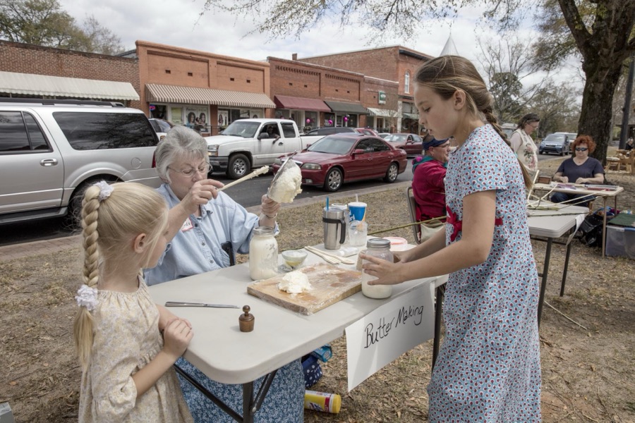
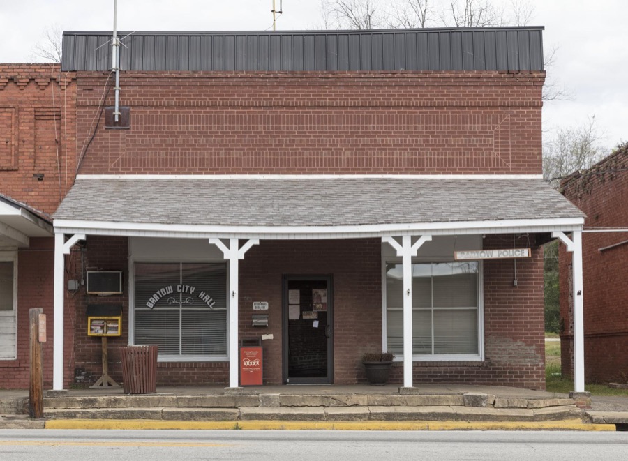

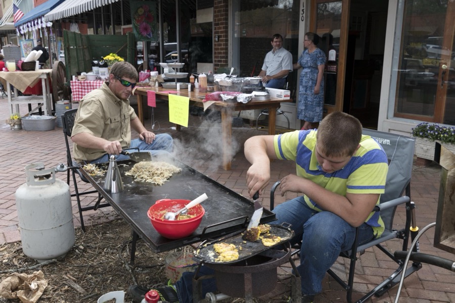
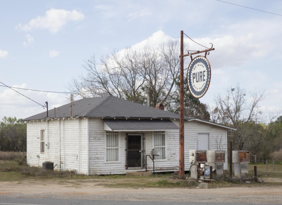
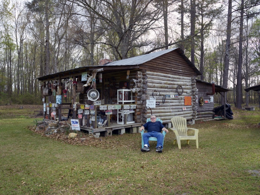



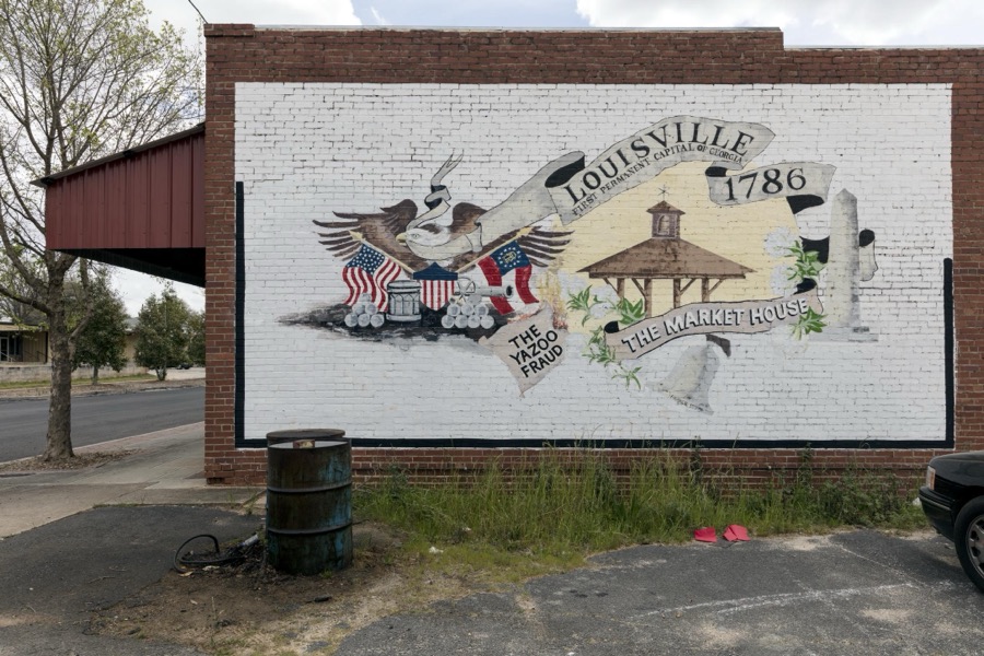

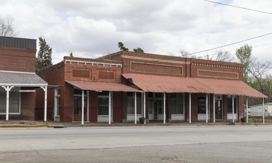
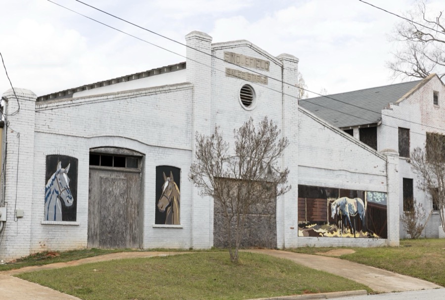
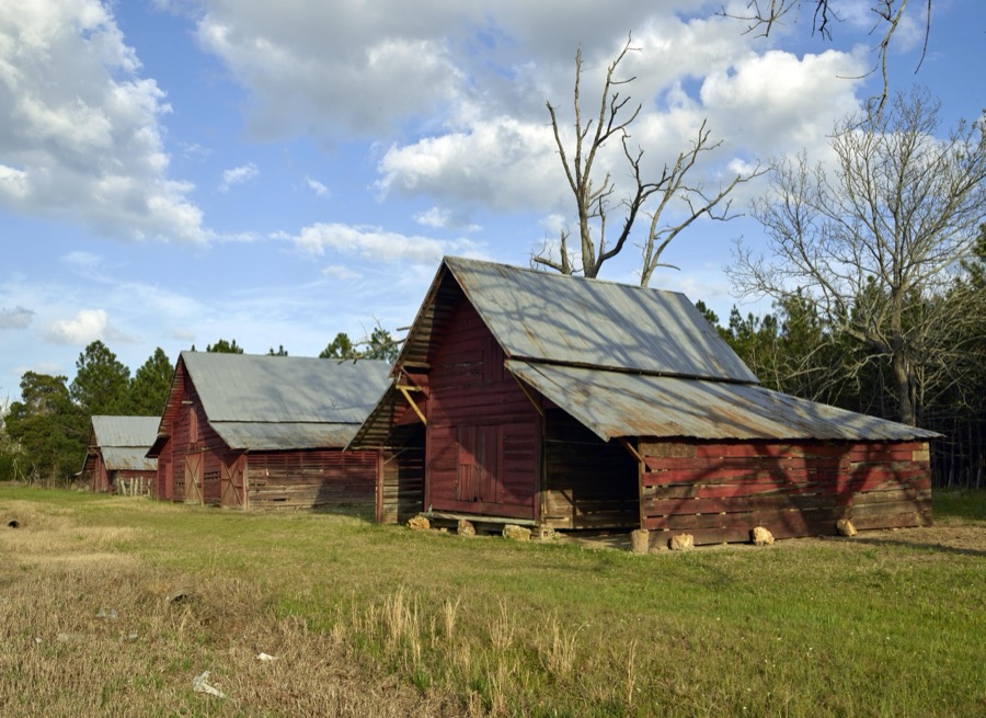
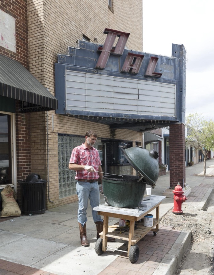

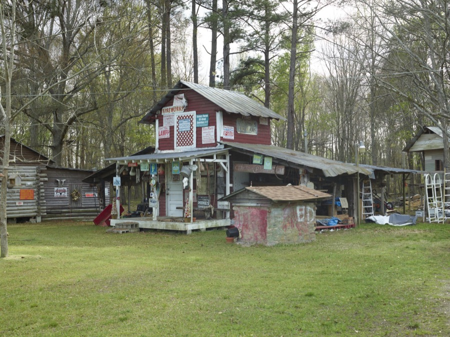
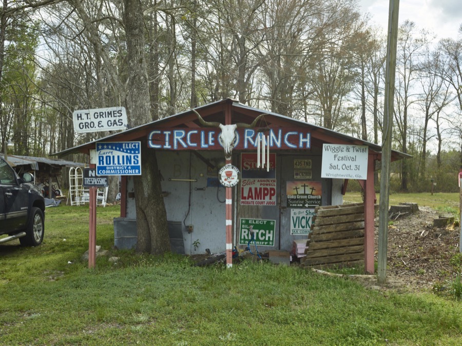
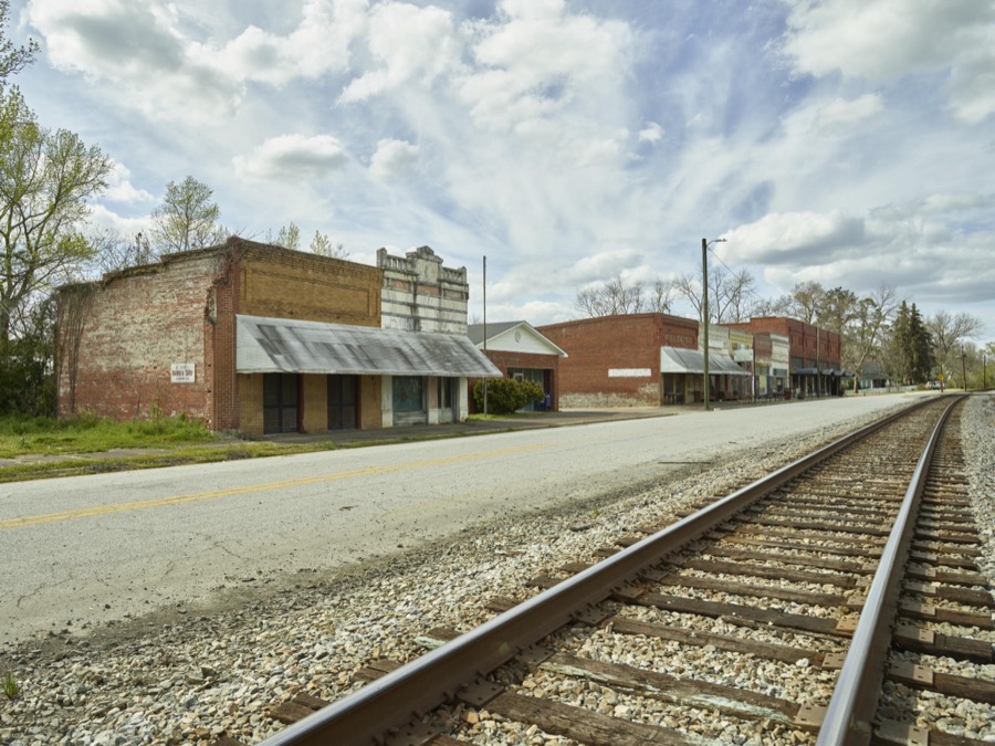
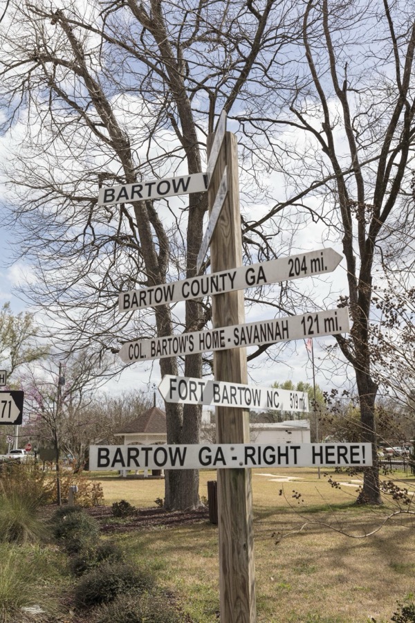
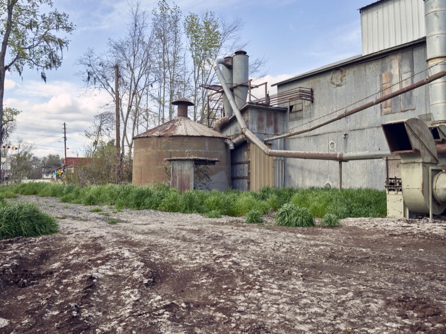
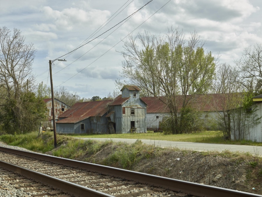
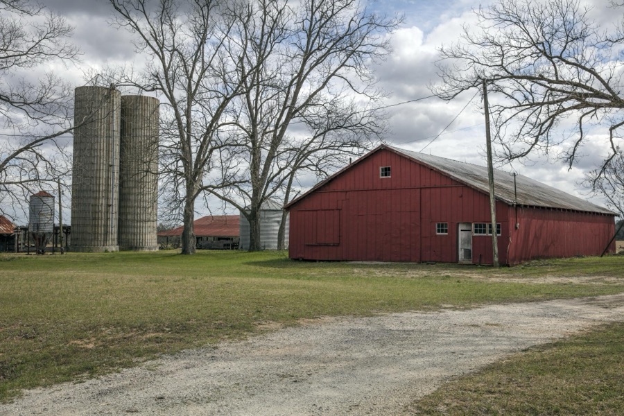
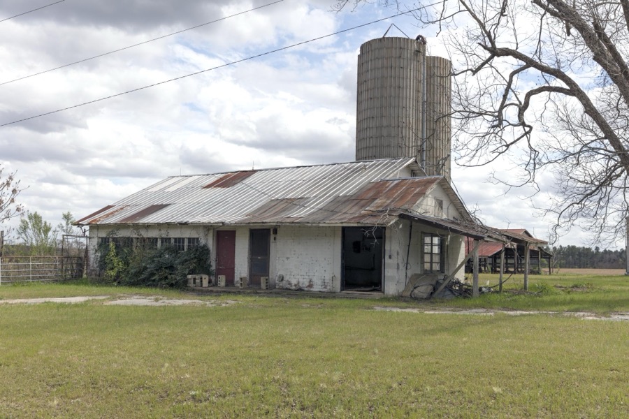


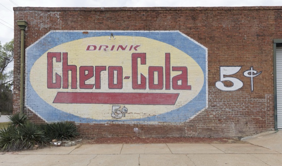

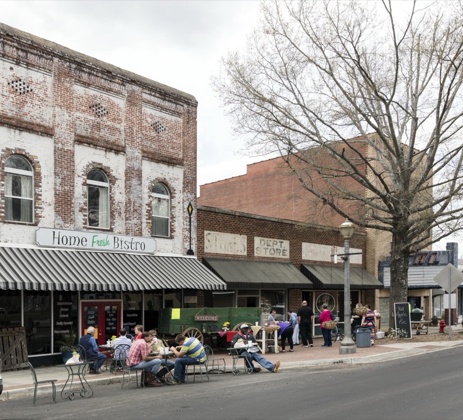
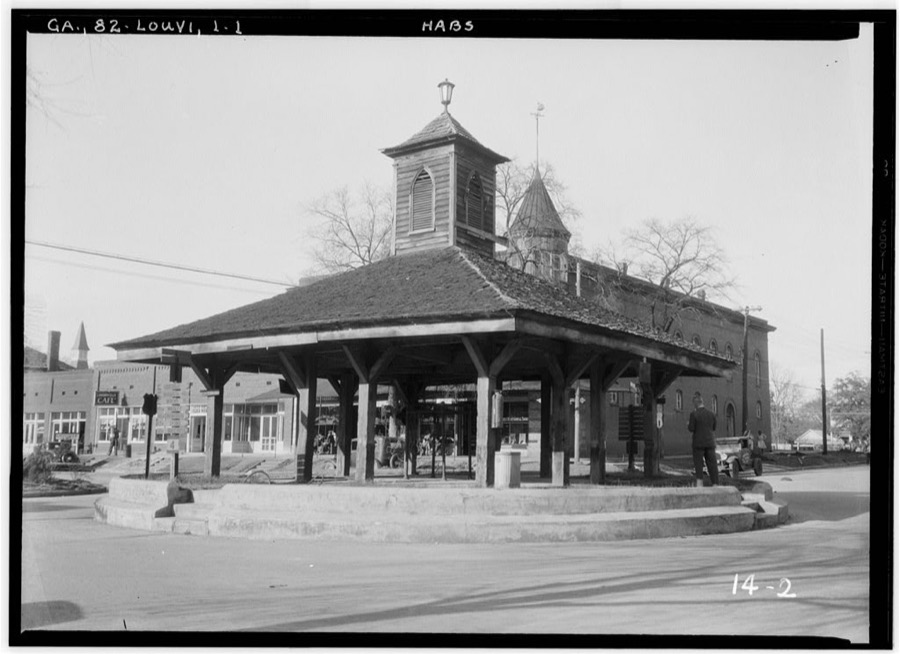
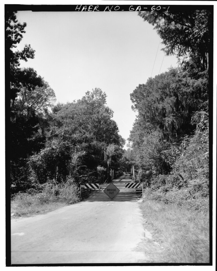
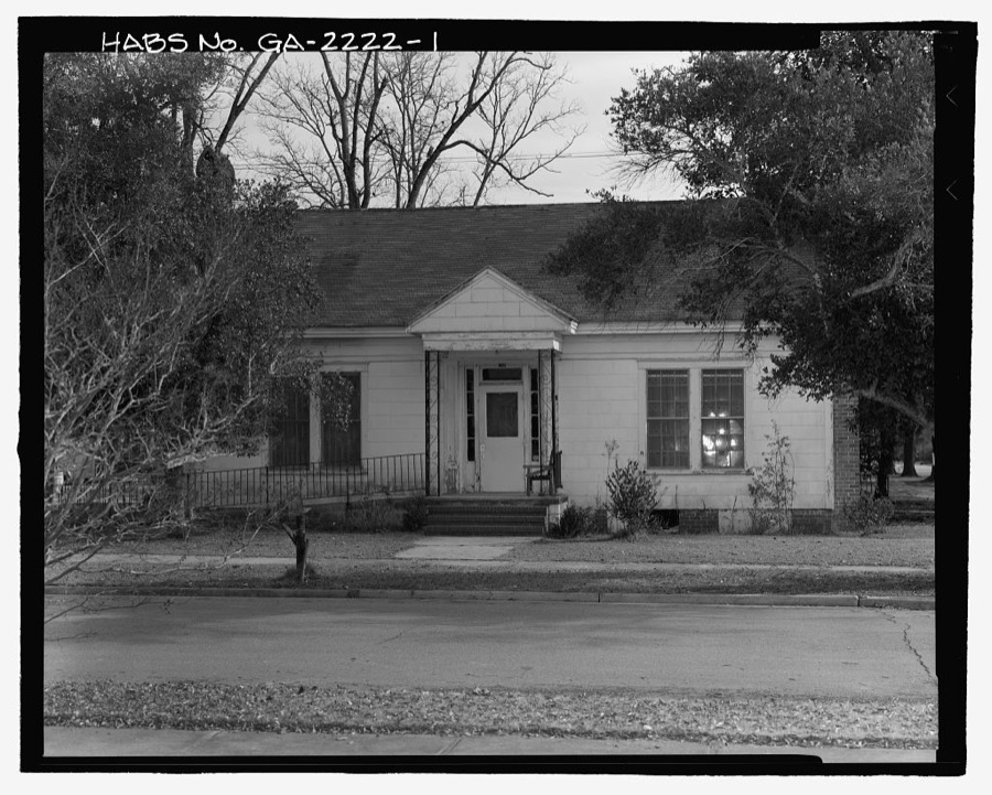
Every property in this county listed on the National Register of Historic Places, with the year it was listed and the federal nomination document.
| Photograph | Property | Type | Listed | Reference |
|---|---|---|---|---|
 | Bartow Historic District | district | 2009 | 08001320 |
| Cunningham-Coleman House | building | 1984 | 84001119 | |
 | Jefferson County Courthouse | building | 1980 | 80001099 |
 | Louisville Commercial Historic District | district | 1994 | 93001469 |
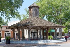 | Old Market | building | 1978 | 78000991 |
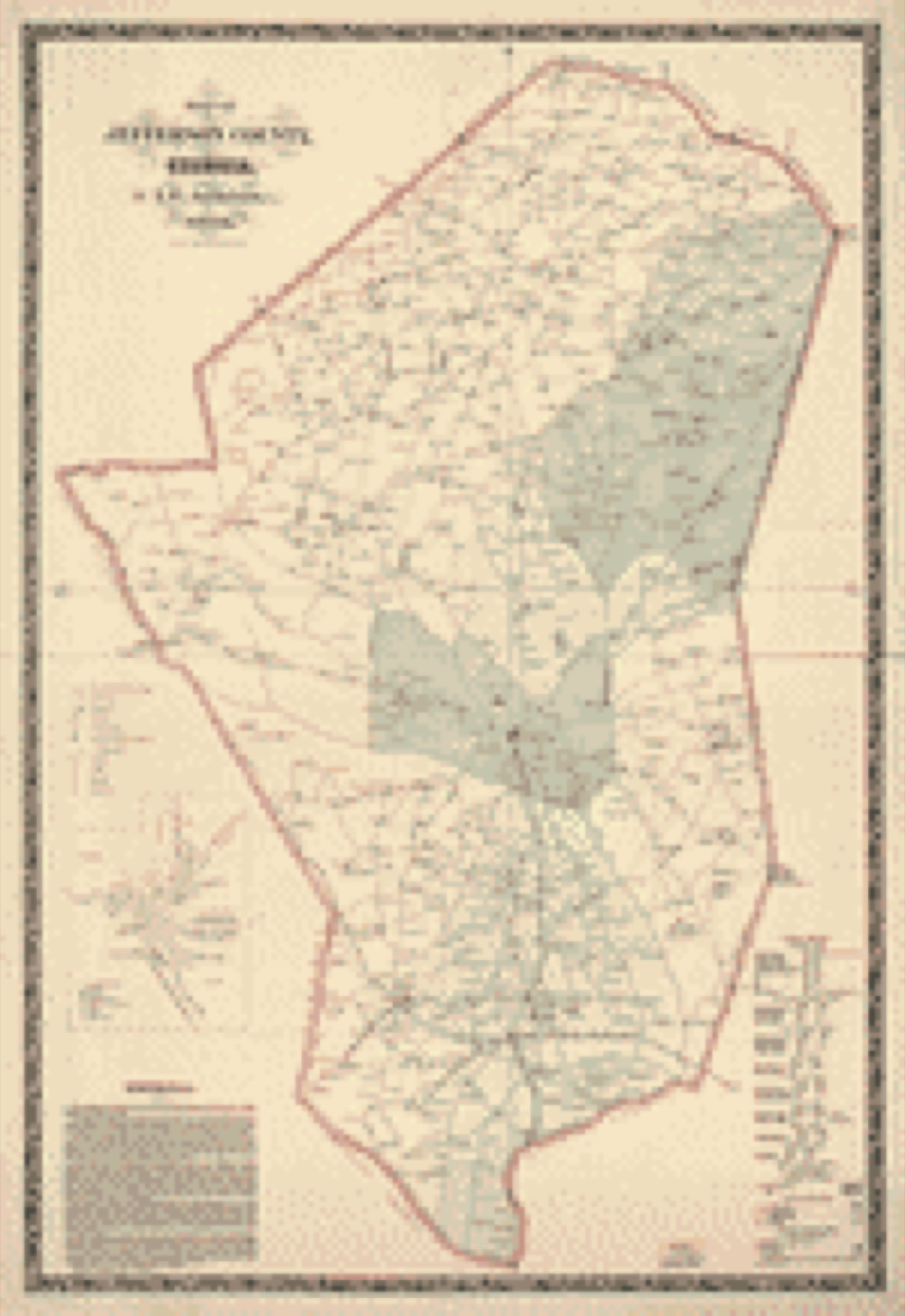
Drawn when these were printed as single large sheets: the town seen from the air, and the county divided into its farms with every owner named. Each opens the original at the Library of Congress.
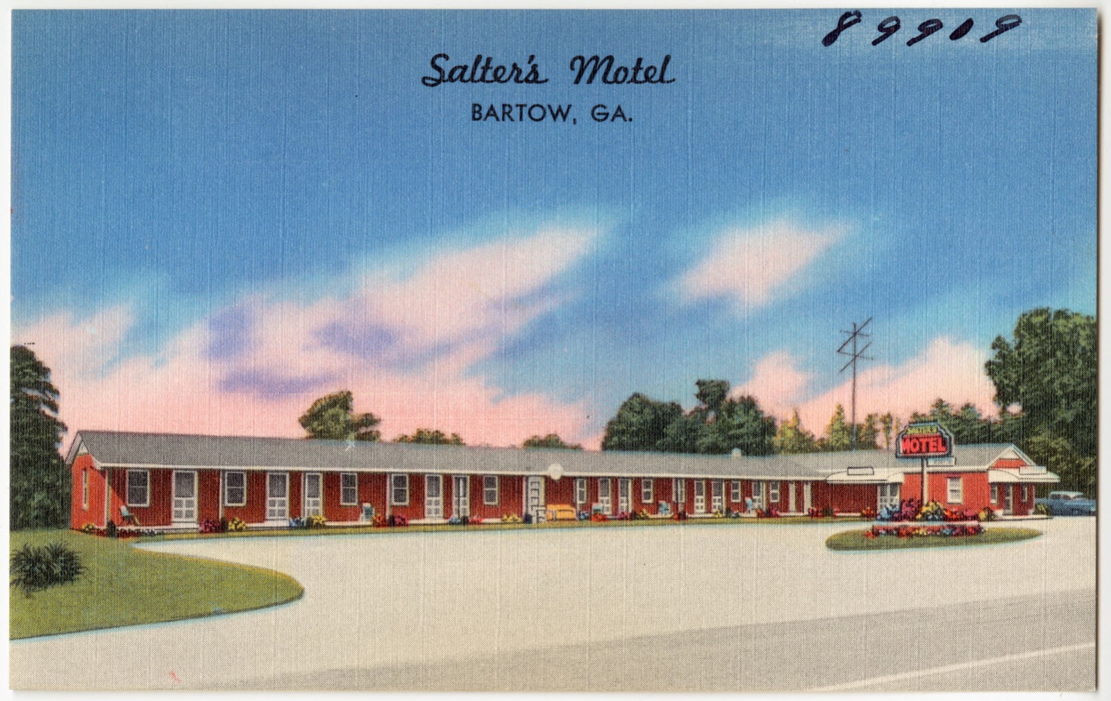
Selected from the Digital Public Library of America's 1 image records catalogued for this county. Every one shown here carries a public-domain status or a licence that permits reuse on a site that carries advertising; non-commercial, share-alike and restricted images are excluded. The selection is spread across the county's towns (at most eight per town), so no single institution's bulk upload crowds out the rest. Each opens the holding library's record, and the complete set at the Digital Public Library of America is one click away.
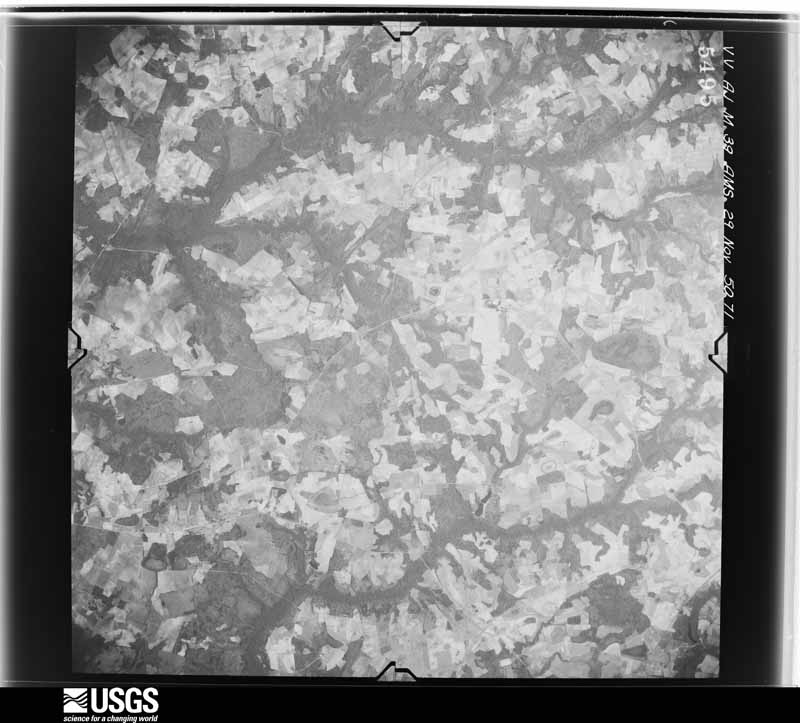
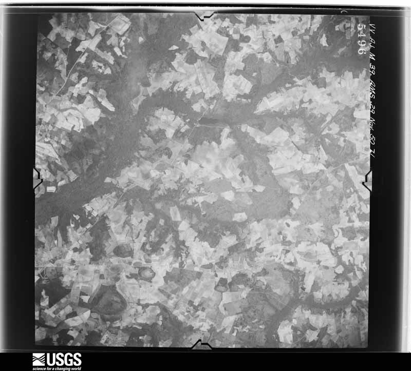
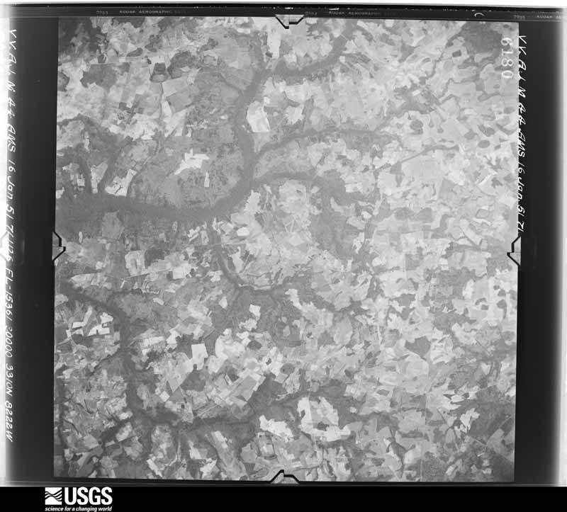
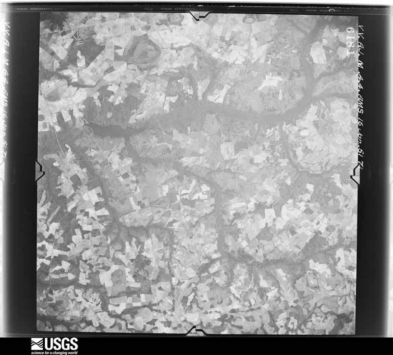
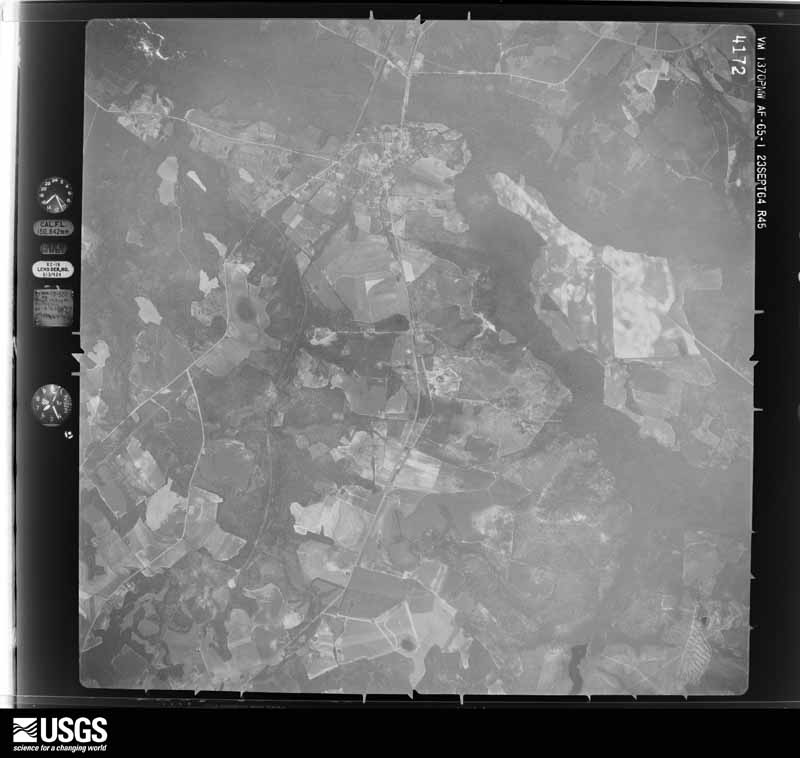
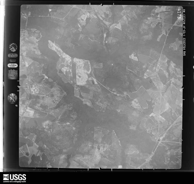
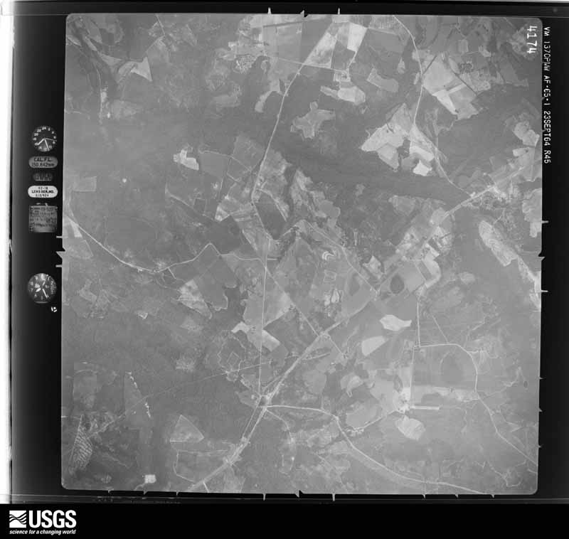
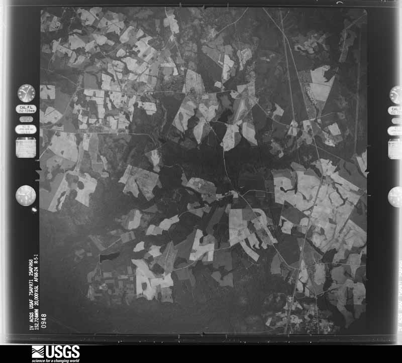
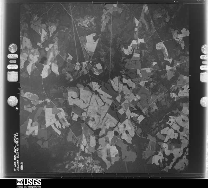
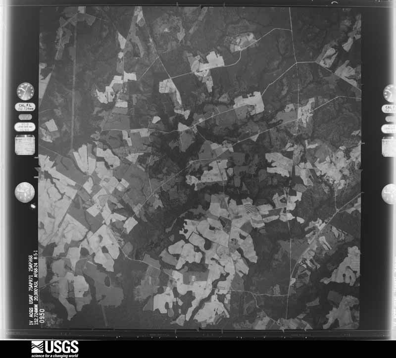
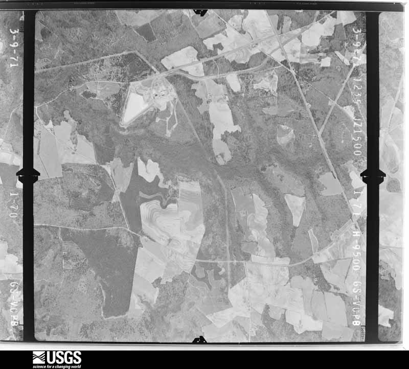
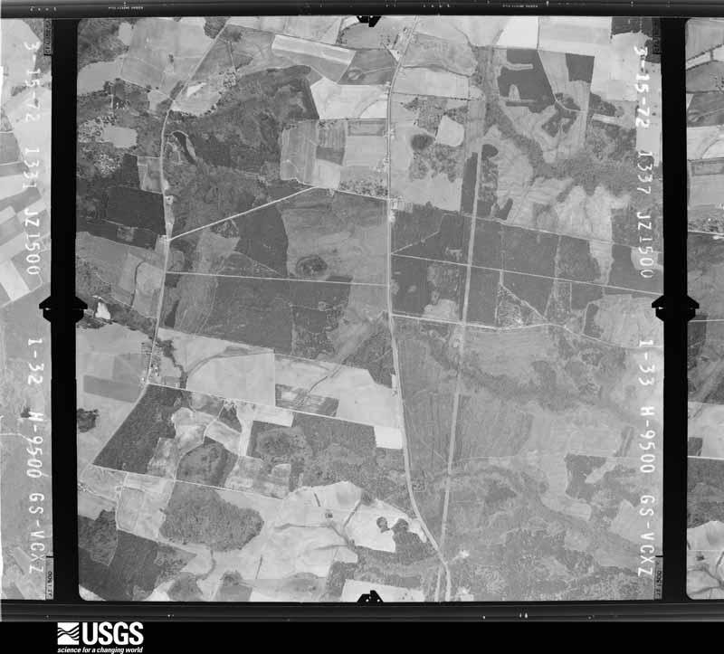
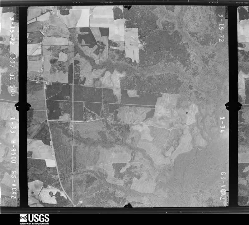
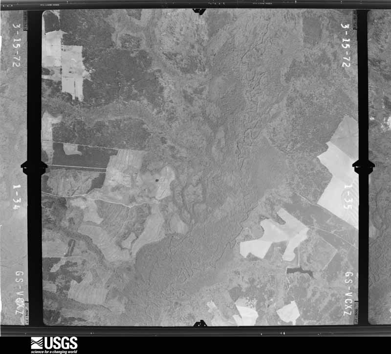
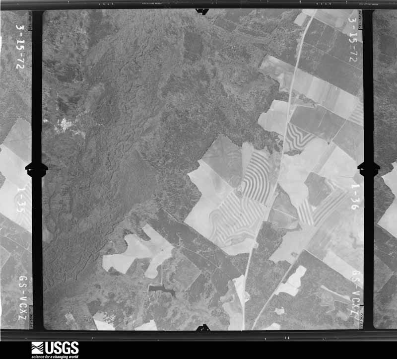
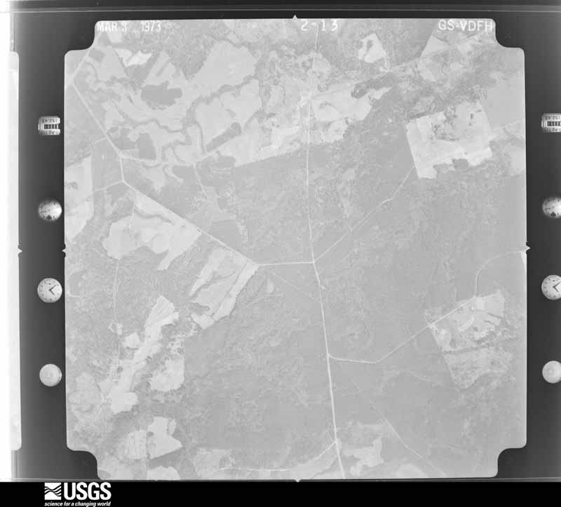
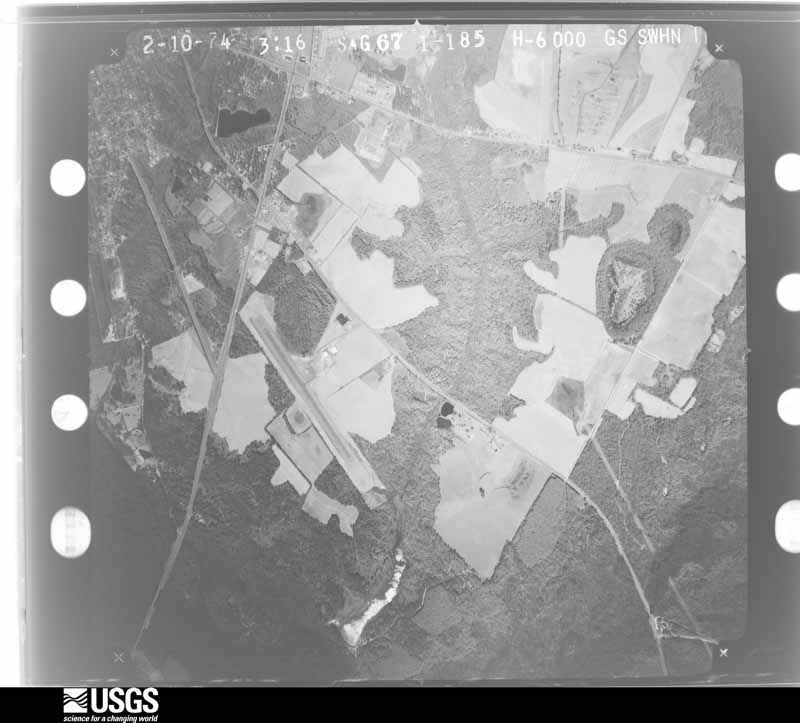
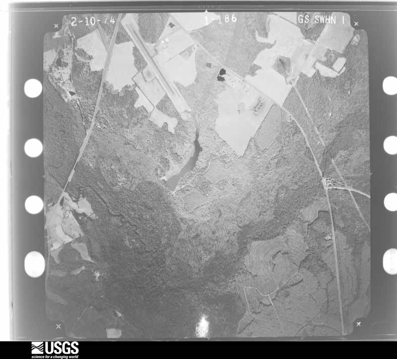
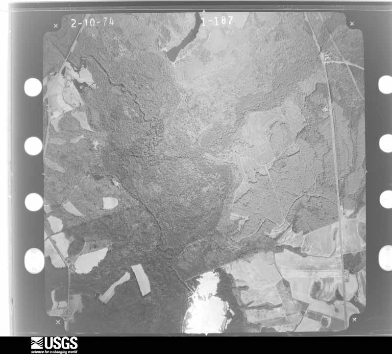
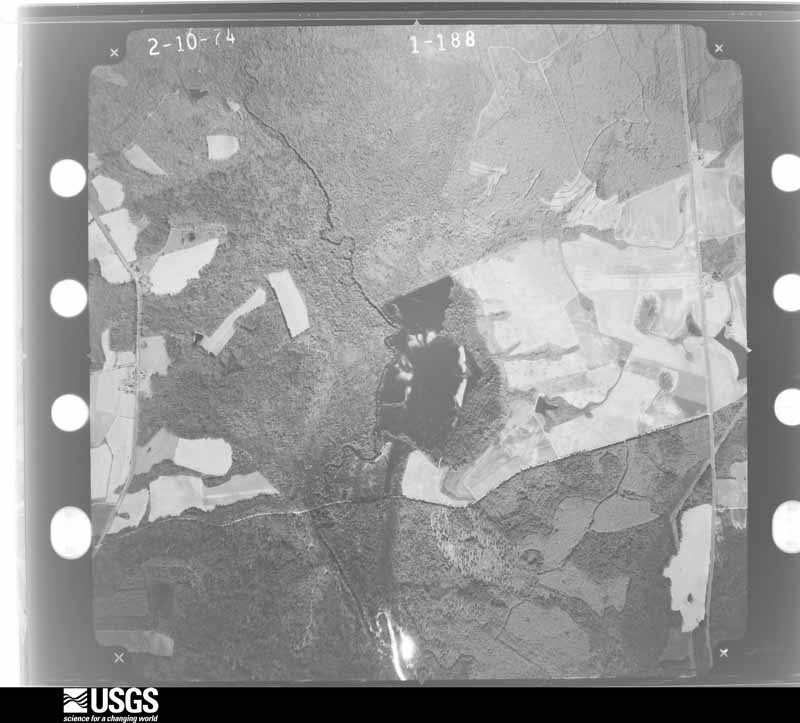
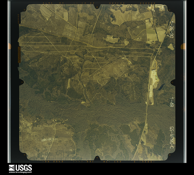
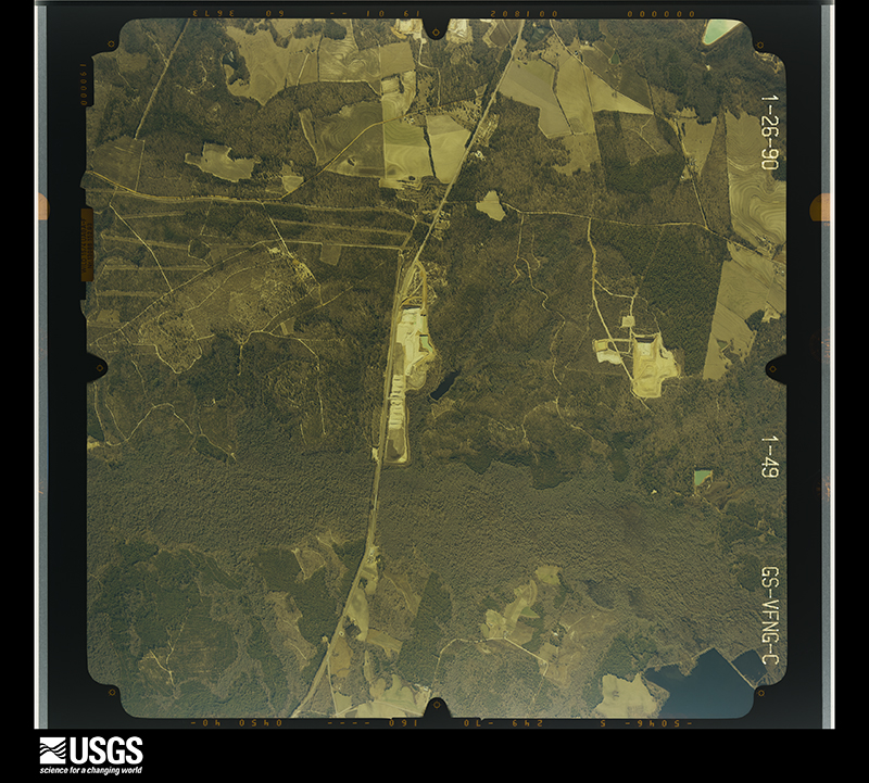
Flown by the U.S. Geological Survey between 1937 and 1989, the Aerial Photo Single Frames collection is the definitive mid-century view of the land: fields, roads and rivers as the camera saw them. The Survey holds 958 frames inside the rectangle that bounds this county; the 44 frames below were taken over the county itself, chosen across the decades of flights (at most four a year from that rectangle), so one flight cannot crowd out the rest. The full set is free to browse and download at EarthExplorer under the dataset Aerial Photo Single Frames.






















The thermometers that kept this county's weather, and the gages that measured the flow of its streams, as the federal records hold them. The extremes below are measured values from those records, not estimates.
Who lived here in 1950, one enumeration district at a time, as the Census Bureau described each district. Each row opens its official National Archives result, with Population Schedules and ED Maps available there.
Every wildfire the federal occurrence database records inside this county: 1,427 of them, burning about 5,563 acres. 126 started naturally and 54 were recorded as arson. Each settlement page carries the fires within five miles of it.
| Reported cause | Fires |
|---|---|
| Debris and open burning | 821 |
| Missing data/not specified/undetermined | 143 |
| Natural | 126 |
| Equipment and vehicle use | 122 |
| Smoking | 63 |
| Misuse of fire by a minor | 59 |
| Arson/incendiarism | 54 |
| Recreation and ceremony | 22 |
| Railroad operations and maintenance | 17 |
The five largest, by the area the report gives. One of them was set deliberately.
| Date | Cause | Size | Reported by | Name on the report |
|---|---|---|---|---|
| 18 April 1992 | Arson/incendiarism | 141 acres | Georgia Forestry Commission | not named |
| 27 February 2002 | Missing data/not specified/undetermined | 135 acres | Georgia Forestry Commission | FY2002-JEFFERSON-031 |
| 2 July 1993 | Debris and open burning | 119 acres | Georgia Forestry Commission | not named |
| 2 August 2019 | Natural | 109 acres | Georgia Forestry Commission | FY2020JEFFERSON004 |
| 28 August 2001 | Natural | 107 acres | Georgia Forestry Commission | FY2002-WASHINGTON-016 |
| 23 September 2019 | Debris and open burning | 91 acres | Georgia Forestry Commission | FY2020JEFFERSON008 |
| 3 September 2010 | Debris and open burning | 84 acres | Georgia Forestry Commission | FY2011-JEFFERSON-008 |
| 17 June 2008 | Debris and open burning | 81 acres | Georgia Forestry Commission | not named |
Every settlement page carries the fires within five miles of it - see the settlement index below.
The NOAA Storm Events Database holds 145 reports for this county, causing no deaths, 19 injuries and about $11,122,280 in recorded property damage. Each settlement page carries the reports that name it.
| Kind of event | Reports |
|---|---|
| Thunderstorm Wind | 89 |
| Hail | 32 |
| Tornado | 15 |
| Lightning | 4 |
| Flood | 2 |
| Flash Flood | 2 |
| Funnel Cloud | 1 |
The most serious of them, by death, then injury, then recorded damage. The accounts are quoted exactly as the forecast office filed them.
| When | Event | Place named | Harm | What the report says |
|---|---|---|---|---|
| March 1996 | Tornado (F1) | Wrens | 5 hurt, $1,000,000 | no account filed |
| July 2015 | Thunderstorm Wind | Wadley | 4 hurt | The Jefferson County Emergency Manager reported trees down along Clarks Mill Road near and on East Railroad Street in Wadley. |
| January 1972 | Tornado (F3) | not stated | 2 hurt, $2,500,000 | no account filed |
| October 1989 | Tornado (F1) | not stated | 2 hurt, $25,000 | no account filed |
| December 1983 | Tornado (F0) | not stated | 2 hurt, $30 | no account filed |
| April 1990 | Thunderstorm Wind | not stated | 2 hurt | no account filed |
| March 1981 | Tornado (F1) | not stated | 1 hurt, $25,000 | no account filed |
| June 1988 | Thunderstorm Wind | not stated | 1 hurt | no account filed |
| May 2008 | Tornado (EF0) | Grange | $5,000,000 | A damage survey conducted by the National Weather Service Forecast Office in Peachtree City, Georgia confirmed that the EF0 tornado that originally touched down in north central Washington county, just northeast of Sandersville, continued on a long 33 mile track across eastern Washington, central Jefferson, and into far western Burke county before lifting one mile south of Vidette. The tornado entered Jefferson county approximately 10 miles west-northwest of Louisville and skirted across the northern part of Louisville, then continued eastward, exiting the county about seven miles east-northeast of Louisville. A little over 17 miles of the tornado path occurred within Jefferson county. The maximum path width of the tornado was estimated to be 440 yards or around 1/2 mile. Homes on the northern side of Louisville sustained considerable damage from the tornado, including both mobile homes and single/multiple-family homes. All together, 55 mobile homes were affected, two of which were destroyed and 50 had major damage. Approximately 185 single-family homes suffered damage. Of these, 70 were destroyed and 115 sustained major damage. In addition 13 businesses, six government facilities, and two non-profit organization building structures were damaged. Of the six government facilities, two of them were county schools. Hunderds of trees and power lines were also downed along the path of the tornado. At least 5600 residents of the area were left without power following the storm. |
| March 2008 | Tornado (EF2) | Wrens | $500,000 | A damage survey conducted by the National Weather Service Forecast office in Peachtree City, Georgia confirmed that an EF2 tornado touched down in northern Jefferson county. The tornado touched down approximately one mile northwest of Wrens and traveled east a little less than nine miles across northeastern Jefferson county and the town of Matthews, before crossing into Burke county just south of the town of Keysville. The tornado continued on the ground an additional eight to nine miles into Burke county before finally lifting near the Applewood County Club in Burke county. The total tornado path length was 19 miles. The maximum path width was one-quarter mile and maximum sustained winds were estimated at 120 mph. The most significant damage occurred in Matthews, where several mobile homes were destroyed. Two businesses in Wrens were destroyed and several others sustained damage. A church and an elementary school, and several homes in Wrens also suffered at least minor damage from wind and numerous downed trees. ficant roof damage. No serious injuries or fatalities were reported from this tornado. |
| May 2008 | Thunderstorm Wind | Almira | $500,000 | A damage survey conducted by the National Weather Service Forecast Office in Peachtree City, Georgia, concluded that strong straight-line winds of 60 to 70 mph up to one mile south of the EF0 tornado track across central Jefferson county caused moderate damage to structures in Louisville and minor to moderate damage to structures elsewhere along the path. A number of trees and power lines were downed as well. |
| March 2008 | Hail | Stapleton | $300,000 | The public observed tennis ball-sized hail across northern Jefferson county, especially in the Wrens area. The Huddle House restaurant on Main Street in Wrens suffered considerable damage from the large hail as a number of windows were broken. |
| July 1981 | Tornado (F1) | not stated | $250,000 | no account filed |
| July 1997 | Lightning | Zebina | $200,000 | Lightning was responsible for at least three house fires in Jefferson County. The first one was reported at approximately 1:33 am in Zebina. Lightning struck a tree and jumped to a nearby home, entering the home through electrical wiring. Several appliances were damaged and the front door was knocked off of its hinges. A second strike at 1:38 am, entered the homes attic, after having struck a nearby tree. Some of the attic's insulation caught fire. The third lightning strike occurred just before 3:00 am. The lightning struck a pecan tree at the corner of a home, then entered the house. The sole occupant was able to escape and drive for help. The house was a total loss. |
| March 2013 | Thunderstorm Wind | Wrens | $120,000 | The Jefferson County Emergency Manager reported that numerous trees and power lines were blown down between Wrens and Louisville. Two houses had trees fall on them; on had minor and the other had major damage. Up to 22 roads were blocked by falling trees. |
| April 2009 | Tornado (EF1) | Stapleton | $100,000 | A damage survey conducted by the National Weather Service Forecast Office in Peachtree City, Georgia confirmed that the EF1 tornado that initially touched down in extreme eastern Glascock county continued into far northern Jefferson county along a five mile-long path before lifting approximately three miles northeast of Stapleton. The tornado was determined to have a maximum path width of 200 yards with maximum winds estimated at 110 mph. The majority of the damage associated with this tornado occurred in Jefferson county. Significant damage was observed to the Heartsgrove Baptist Church at the intersection of Georgia Highways 80 and 296, just across from the Glascock county line. Part of the roof, brick siding, and the chimney were removed from the structure. Several granite headstones in the adjacent cemetery were tipped over. Many trees were down along the path of the tornado, especially along a 3/4 mile-long path east of the damaged church. |
| July 2008 | Hail | Wrens | $80,000 | The public observed golf ball-sized hail in Wrens. Radar supports that large hail of similar size likely fell across a good portion of northeast Jefferson county. |
| January 1996 | Thunderstorm Wind | Wrens | $60,000 | no account filed |
| September 2011 | Hail | Wadley | $45,000 | The public observed golf ball-sized hail just south of Wadley in the far southern part of the county. |
| September 2020 | Flash Flood | Wrens | $30,000 | The Emergency Manager reported flood water from a nearby creek inundated an apartment building, displacing 6 families. Radar estimates indicate that 5 to 8 inches of rain occurred over the area, causing the flash flooding. |
| October 2004 | Thunderstorm Wind | Wrens | $30,000 | The Jefferson County Emergency Management Director reported that numerous trees and power lines were down from Wrens to Mathews. Parts of U.S. Highway 1 and Georgia Highways 80, 88, and 17 were blocked by downed trees and power lines. Several locations also suffered structural damage. The roof was blown off an auto parts store. A Huddle House restaurant lost its canopy and several windows from the strong wind gusts. A mobile home was destroyed when a large oak tree split it in half and another site-built home was damaged when a large tree fell on it. |
| July 2003 | Thunderstorm Wind | Louisville | $30,000 | The News and Farmer-Jefferson Reporter of Louisville reported that thunderstorm winds, associated with the remnants of Tropical Storm Bill, caused considerable damage to a home west of Louisville on Grange Road. A portion of the roof over the garage collapsed. The house also sustained other minor damage. A number of trees were blown down or split in half across the street and even up to one-third of a mile away. Several residents in the area reported seeing a tornado that was approximately 10 to 15 feet wide and traveled about 60 to 75 feet above the ground. One resident about four miles west of Louisville reported seeing two tornadoes. |
| April 2017 | Tornado (EF0) | Grange | $25,000 | A National Weather Service survey team found that an EF1 tornado in Washington County moved east into Jefferson County as an EF0 tornado with maximum wind speeds of 80 MPH and a maximum path width of 200 yards. The tornado crossed Highway 88 and Hardeman Road where it caused minor damage to a roof of a home and minor damage to a shed. The tornado continued uprooting several trees before lifting just east of Highway 171. No injuries were reported. [04/03/17: Tornado #27, County #2/2, EF-0, Washington, Jefferson, 2017:059]. |
| August 2003 | Lightning | Louisville | $25,000 | The Jefferson county 911 center reported that lightning struck a house and set it on fire. Damage estimates were inconclusive. |
| July 1971 | Tornado (F1) | not stated | $25,000 | no account filed |
| April 2020 | Tornado (EF0) | Almira | $20,000 | This tornado began along News Bridge Road destroying a building before moving over more rural sections and snapping hundreds of trees consisting of both softwoods and |hardwoods. The tornado was remarkably consistent in its track, producing EF1 damage between 95 and 100 mph nearly the entire path. Dozens of homes were damaged with a few destroyed from trees falling on them. The tornado near HJ lane pick up two |vehicles including a truck and displaced them 100 yards. Shortly before the tornado lifted, it crossed into Jefferson county where additional tree damage occurred. [04/13/20: Tornado #21, County #2/2, EF-0, Jefferson, 2020:027]. |
| July 1995 | Thunderstorm Wind | Wadley | $20,000 | Thunderstorm winds blew trees down on house. |
| June 2019 | Thunderstorm Wind | Mathews | $15,000 | The Jefferson County Emergency Manager reported trees blown down onto a home on Campground Road near Highway 1. No injuries were reported. |
| August 2023 | Thunderstorm Wind | Pine Hill | $10,000 | Public report of multiple trees down along Bostic Mill Road between US Hwy 221 and Lonnie Purvis Road. |
| April 2020 | Thunderstorm Wind | Louisville | $10,000 | EM reported multiple trees down around the city of Louisville. |
| September 2020 | Flash Flood | Omaha Springs | $10,000 | The Emergency Manager reported a road washed out near the intersection of Clarks Mill Road and Highway 102/88. Radar estimates indicate that 6 to 8 inches of rain occurred over the area, causing the flash flooding. |
| May 2008 | Thunderstorm Wind | Louisville | $10,000 | The Jefferson County 911 Center reported that several trees and power lines were down throughout the city of Louisville. |
| August 1999 | Lightning | Wrens | $10,000 | Lightning caused a fire that spread throughout the attic of a home on North Main Street. There was damage to the roof and its support above several rooms. |
| June 1996 | Tornado (F0) | Bartow | $10,000 | no account filed |
| March 2018 | Thunderstorm Wind | Wrens | $8,000 | The Jefferson County 911 center reported a few trees and power lines blown down from Wrens to Louisville. |
| November 2014 | Thunderstorm Wind | Zebina | $8,000 | The Jefferson County 911 Center reported multiple trees blown down in Wrens and Louisville. One tree fell on a house in Louisville. |
| August 2023 | Thunderstorm Wind | Wadley | $7,000 | The 911 call center reported 7 trees down in Wadley, GA. |
| November 2011 | Thunderstorm Wind | Stapleton | $7,000 | The Jefferson County Emergency Management Director reported that several trees and power lines were down in the far northern part of the county, generally between Stapleton and Wrens. |
| July 2013 | Flood | Omaha Springs | $6,000 | The Jefferson County emergency manager reported washed out roads near Avera. Almost two inches of rainfall in a 3 hour period on already wet soils quickly overwhelmed the drainage systems. |
| January 2017 | Thunderstorm Wind | Cunningham Corner | $5,000 | The public reported trees blown down along Highway 78 to just east of Highway 17. |
| July 2013 | Thunderstorm Wind | Louisville Muni Arpt | $5,000 | The Jefferson County 911 Center reported numerous trees and power lines down across the county. |
| June 2010 | Thunderstorm Wind | Louisville | $5,000 | The Jefferson County 911 Center reported that several trees and power lines were down in the northwest and west central part of the county, north through west of Louisville. |
| December 2005 | Hail | Louisville | $5,000 | The Columbia, SC Weather Forecast Office relayed a report from a storm spotter of golf ball-sized hail. |
| June 2000 | Thunderstorm Wind | Countywide | $5,000 | The Jefferson County Emergency Management Coordinator reported trees down on power lines all across the county. In addition, a tree was reported down and blocking Georgia Highway 102 between Avera and Stapleton in the north part of the county. |
| August 1999 | Thunderstorm Wind | Wrens | $5,000 | Jefferson county 911 reported trees and power lines down. A newspaper reported the wind blew over a gas pump at a convenience store in Wrens. Some roofing was also ripped away at an auto parts store about a mile to the south. |
| June 1998 | Thunderstorm Wind | Wrens | $5,000 | Jefferson county 911 reported trees and power lines down at 3 different locations between Wrens and Louisville. |
| August 2007 | Thunderstorm Wind | Louisville | $4,000 | The Jefferson County 911 Center reported that many trees were down from Louisville southward toward Bartow. More than 10 trees were down in the Louisville area alone. |
| August 2019 | Thunderstorm Wind | Moxley | $3,000 | The Jefferson County Emergency Manager reported trees blown down along Highway 1 north of Wadley. |
| August 2011 | Thunderstorm Wind | Wadley | $3,000 | The Jefferson County 911 Center reported that over a dozen trees were down across the eastern and southeastern part of the county. |
| June 2008 | Thunderstorm Wind | Wrens | $3,000 | The Jefferson County 911 Center reported that several trees and a couple of power lines were down along Gamble School Road, southwest of Wrens. |
| February 2003 | Thunderstorm Wind | Louisville | $3,000 | The Jefferson county 911 center reported that power lines were down. |
| August 2000 | Thunderstorm Wind | Wadley | $3,000 | The Jefferson county 911 center reported that trees were knocked down on Moxley-Bartow Road. |
| July 2018 | Thunderstorm Wind | Louisville | $2,000 | The Jefferson County Emergency Manager reported a couple of trees blown down in Louisville. |
| August 2012 | Thunderstorm Wind | Bartow | $2,000 | The public reported that several trees and many large limbs were blown down, some blocking Highway 221. |
| June 2011 | Thunderstorm Wind | Stapleton | $2,000 | The Jefferson County 911 Center reported that at least six trees were down across the northern portion of the county, mainly near Wrens. The damage was caused by a thunderstorm outflow boundary as an area of thunderstorms moved into the county from the north. |
| July 2007 | Thunderstorm Wind | Stapleton | $2,000 | The Jefferson County 911 Center reported that a few trees and power lines were down in the Stapleton area in the far northern part of the county. |
| August 2007 | Thunderstorm Wind | Wrens | $2,000 | The Jefferson County 911 Center reported that several trees were down near and just east of Wrens. |
| January 2006 | Thunderstorm Wind | Wadley | $2,000 | The Georgia State Patrol reported that several trees were down on U.S. Highway 1 just wouth of Wadley. |
| May 2003 | Thunderstorm Wind | Louisville | $2,000 | The Jefferson county 911 center reported that some trees were down. |
| January 2001 | Thunderstorm Wind | Louisville | $2,000 | The Jefferson county 911 center reported that trees were blown down. |
The Survey's mineral resources record lists 5 workings inside this county. 2 still produce and 3 are closed or unrecorded. Each settlement page carries the workings within five miles of it.
| Commodity | Workings |
|---|---|
| Kaolin | 2 |
| Clay | 2 |
| Iron | 1 |
The least common of them first, because a county's hundredth gravel pit says nothing its first ten did not.
| Where | Site | Commodity | Status | Recorded |
|---|---|---|---|---|
| Norton Pit | Iron | Occurrence | ||
| Continental Can Mine | Kaolin | Occurrence | ||
| Palmer Mill | Clay | Producer | ||
| Reedy Creek Mine | Kaolin | Occurrence | ||
| Wrens Mine Ga-Tenn Mining | Clay | Producer |
Named settlements recorded in the Geographic Names Information System, each with the topographic sheets covering it. Villages, hamlets and abandoned places alike. Each is shown with the nearest named watercourse or landform and the survey quadrangle it falls on. The 2 places that were also surveyed for fire insurance come first, with the number of atlases and photographs held for them.
Louisville census division · 30434 · On Rocky Comfort Creek · Louisville quadrangle
16 sheets, 1920 to 1988
Fire insurance: 5 atlases
Wadley census division · 30477 · On Beaslys Branch · Wadley quadrangle
8 sheets, 1957 to 1988
Fire insurance: 3 atlases
Louisville census division · 30477 · On Big Creek · Louisville South quadrangle
8 sheets, 1957 to 1988
Wadley census division · 30413 · On Nails Creek · Louisville South quadrangle
8 sheets, 1957 to 1988
Wadley census division · 30477 · On Boggy Gut Creek · Colemans Lake quadrangle
7 sheets, 1957 to 1988
Wrens census division · 30833 · On Fleming Branch · Kellys Pond quadrangle
15 sheets, 1920 to 1988
Stapleton census division · 30803 · On Juniper Branch · Grange quadrangle
10 sheets, 1953 to 1988
Louisville census division · 30434 · On Dry Creek · Old Town quadrangle
7 sheets, 1957 to 1988
Wrens census division · 30816 · On Reedy Creek · Matthews quadrangle
16 sheets, 1920 to 1988
No longer a settlement
Wadley census division · 30477 · On Maple Branch · Wadley quadrangle
8 sheets, 1957 to 1988
No longer a settlement
Wrens census division · 30833 · On Jordan Branch · Matthews quadrangle
16 sheets, 1920 to 1988
Wrens census division · 30833 · On Hadden Branch · Matthews quadrangle
16 sheets, 1920 to 1988
The vanished settlements of Jefferson County: the places named above that are no longer on the map.
16 topographic sheets and 5 fire insurance atlases, 1904 to 1940
8 topographic sheets and 3 fire insurance atlases, 1922 to 1930
The complete index, with nothing left out. Each of these is a separate record with its own page: a federal survey report, or the case file that argued a property on to the National Register. Both are public domain and reproduced word for word.
The vanished settlements of Jefferson County, the places these records name that are no longer on the map.