 Block
From the record
9 National Register listings published here.
Sources: the National Register database, National Park Service
44 topographic sheets and 2 fire insurance atlases across 1 place.
9 National Register listings published here.
Sources: the National Register database, National Park Service
Taken for the Office of War Information and the Farm Security Administration, who photographed the country between 1935 and 1944. Works of United States government photographers, with no known restriction on use. Each opens its catalogue record.


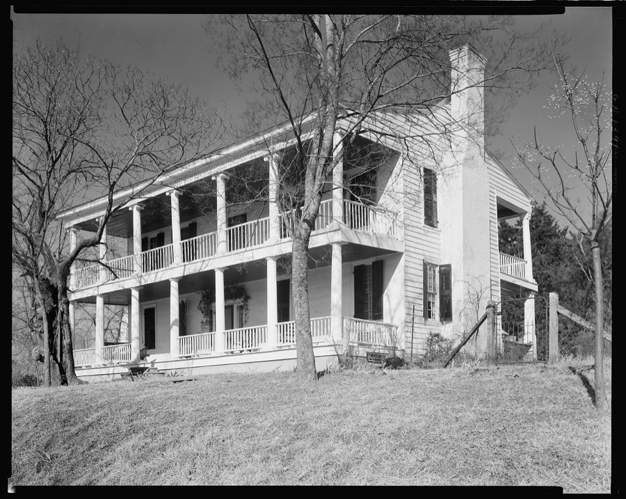












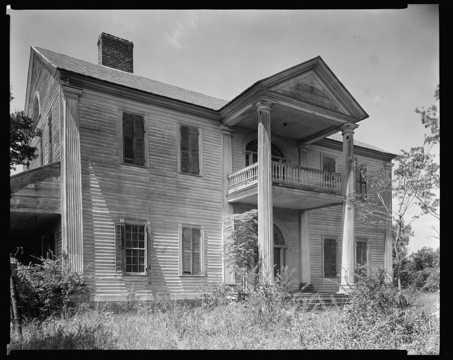



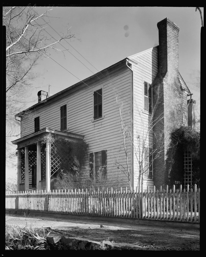



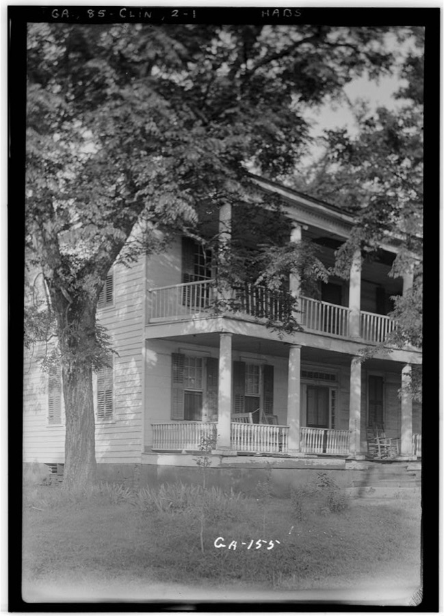
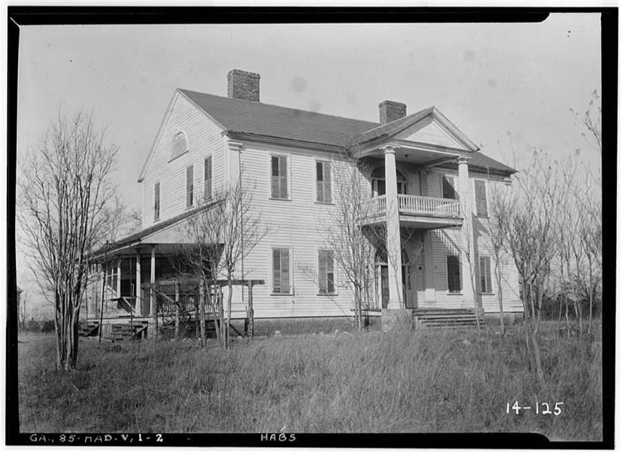
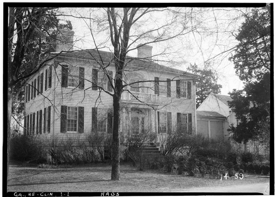
Every property in this county listed on the National Register of Historic Places, with the year it was listed and the federal nomination document.
| Photograph | Property | Type | Listed | Reference |
|---|---|---|---|---|
 | Cabaniss-Hanberry House | building | 1976 | 76000639 |
| Cabiness-Hunt House | district | 1975 | 75000598 | |
 | James, Lemuel and Mary House | building | 2013 | 13000271 |
 | Jarrell Plantation | district | 1973 | 73000624 |
 | Jones County Courthouse | building | 1980 | 80001102 |
 | Jones County High School | building | 1999 | 99000555 |
| Old Clinton Historic District | district | 1974 | 74000690 | |
 | Roberts-Bush-Roberts House | building | 2015 | 15000361 |
 | Herman and Allene Shaver House | building | 2013 | 13000813 |
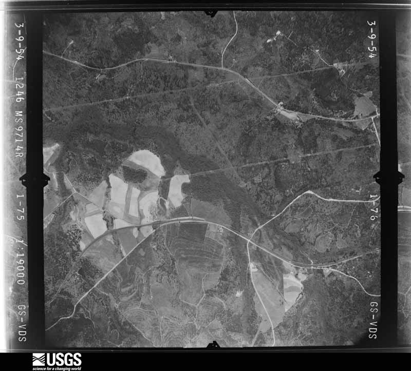
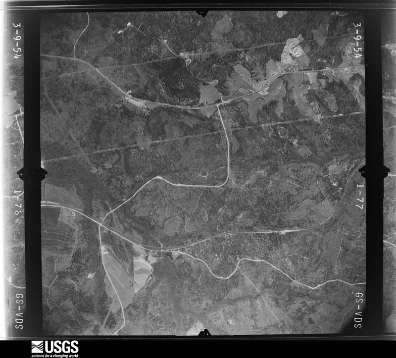
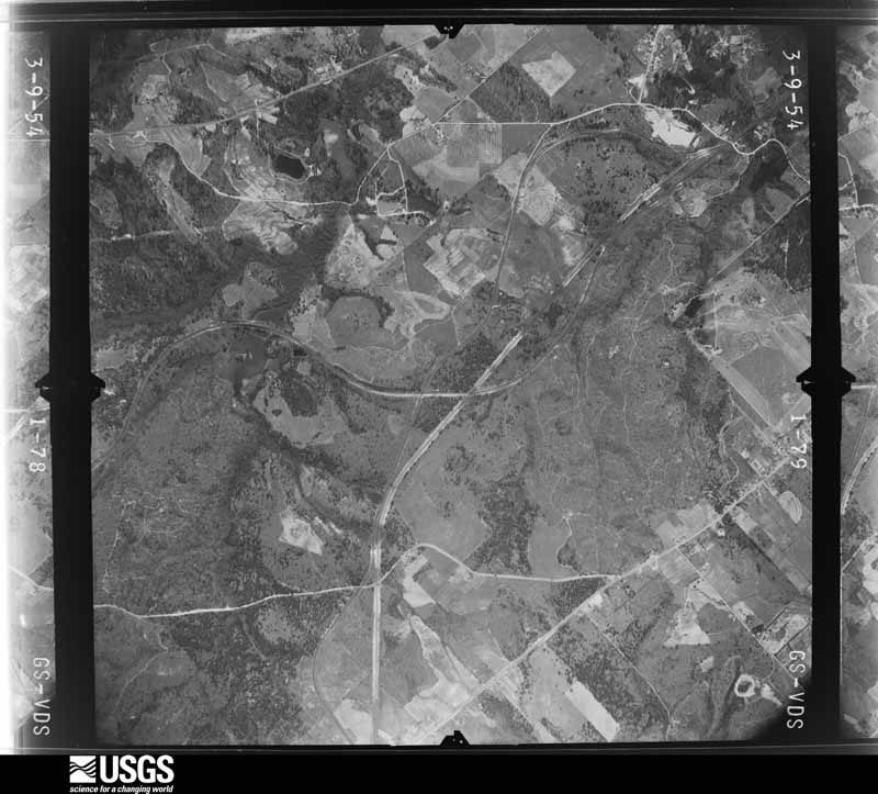
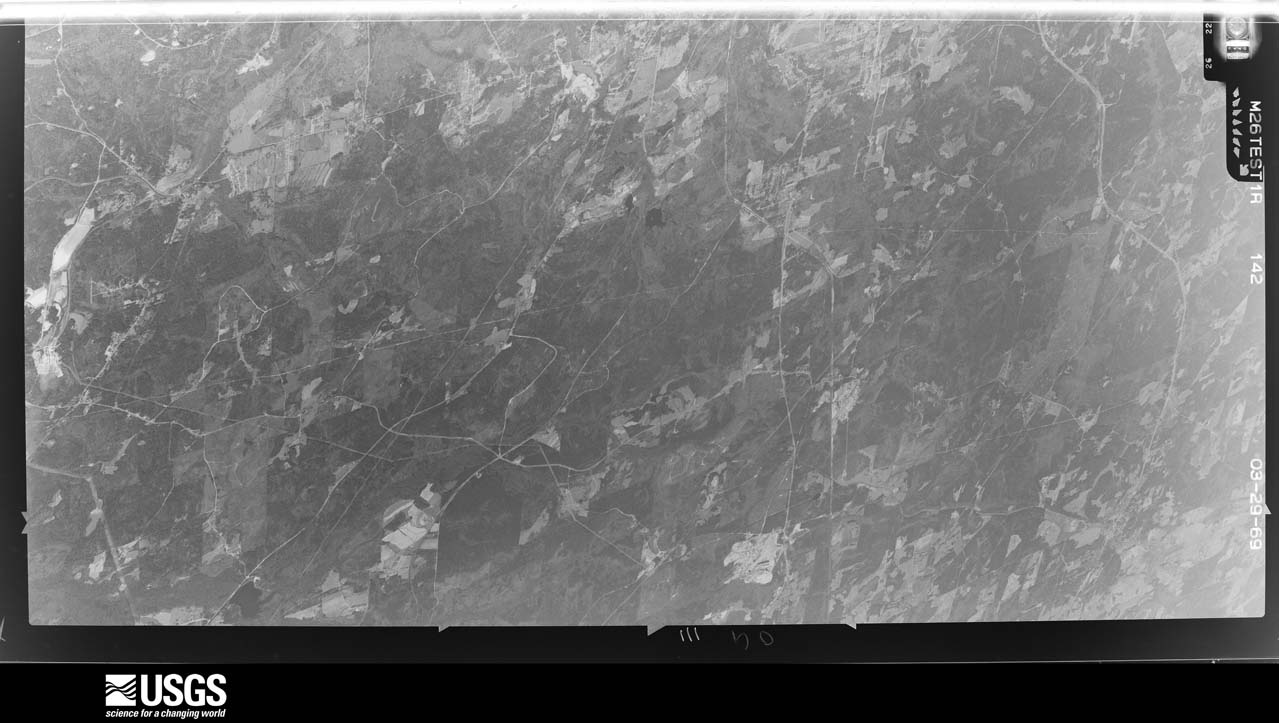
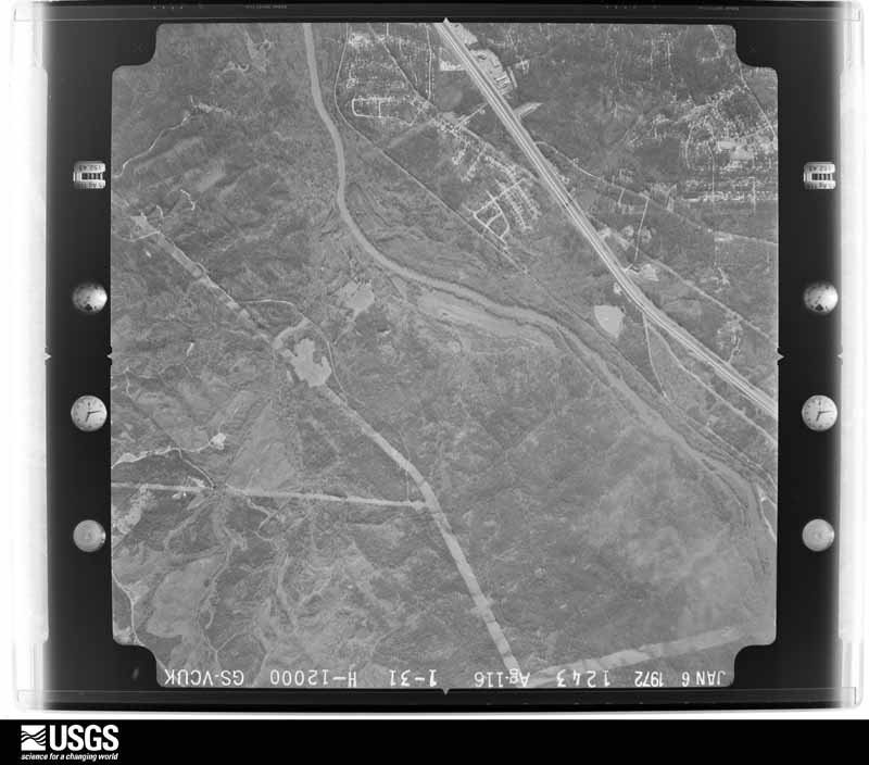
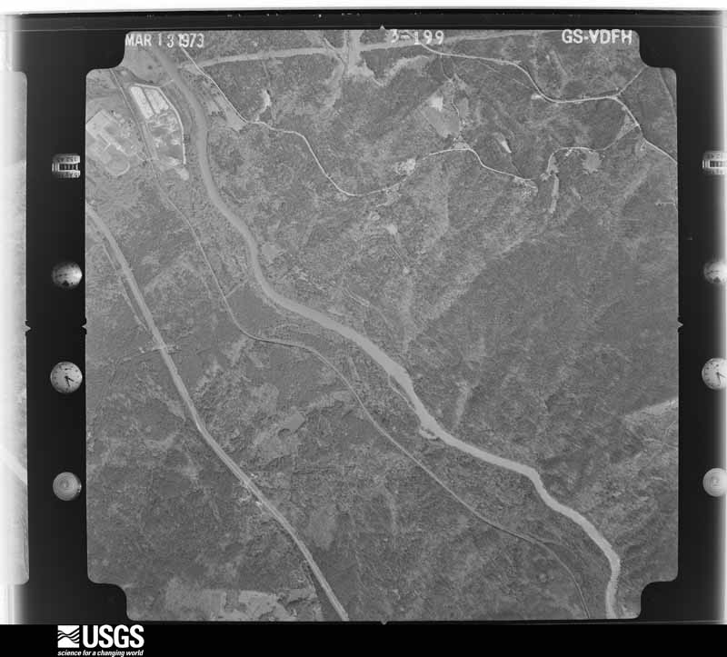
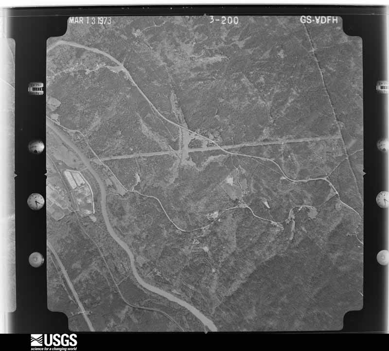
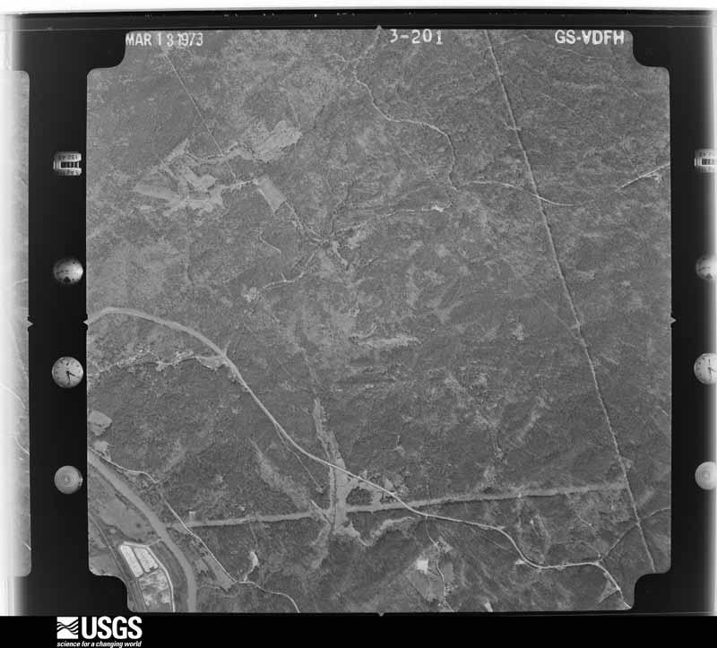
Flown by the U.S. Geological Survey between 1937 and 1989, the Aerial Photo Single Frames collection is the definitive mid-century view of the land: fields, roads and rivers as the camera saw them. The Survey holds 828 frames inside the rectangle that bounds this county; the 28 frames below were taken over the county itself, chosen across the decades of flights (at most four a year from that rectangle), so one flight cannot crowd out the rest. The full set is free to browse and download at EarthExplorer under the dataset Aerial Photo Single Frames.




















The thermometers that kept this county's weather, and the gages that measured the flow of its streams, as the federal records hold them.
Who lived here in 1950, one enumeration district at a time, as the Census Bureau described each district. Each row opens its official National Archives result, with Population Schedules and ED Maps available there.
Every wildfire the federal occurrence database records inside this county: 1,494 of them, burning about 4,405 acres. 56 started naturally and 92 were recorded as arson. Each settlement page carries the fires within five miles of it.
| Reported cause | Fires |
|---|---|
| Debris and open burning | 930 |
| Equipment and vehicle use | 100 |
| Misuse of fire by a minor | 92 |
| Arson/incendiarism | 92 |
| Missing data/not specified/undetermined | 91 |
| Smoking | 57 |
| Natural | 56 |
| Recreation and ceremony | 50 |
| Railroad operations and maintenance | 20 |
| Power generation/transmission/distribution | 6 |
The five largest, by the area the report gives. None of them was recorded as arson.
| Date | Cause | Size | Reported by | Name on the report |
|---|---|---|---|---|
| 2 May 1992 | Missing data/not specified/undetermined | 289 acres | Piedmont National Wildlife Refuge | HUNTCAMP |
| 4 April 2014 | Missing data/not specified/undetermined | 104 acres | Piedmont National Wildlife Refuge | LONG SPOT |
| 6 March 2005 | Power generation/transmission/distribution | 99 acres | Piedmont National Wildlife Refuge | COMP 26 |
| 25 February 1996 | Debris and open burning | 96 acres | Georgia Forestry Commission | not named |
| 29 March 1998 | Smoking | 89 acres | Piedmont National Wildlife Refuge | COMP4WF |
| 18 March 2019 | Debris and open burning | 88 acres | Georgia Forestry Commission | FY2019JONES016 |
| 7 July 1997 | Power generation/transmission/distribution | 72 acres | Piedmont National Wildlife Refuge | C2POWLINE |
| 4 March 2002 | Smoking | 58 acres | Georgia Forestry Commission | FY2002-JONES-061 |
Every settlement page carries the fires within five miles of it - see the settlement index below.
The NOAA Storm Events Database holds 191 reports for this county, causing 2 deaths, 17 injuries and about $10,480,200 in recorded property damage. Each settlement page carries the reports that name it.
| Kind of event | Reports |
|---|---|
| Thunderstorm Wind | 117 |
| Hail | 42 |
| Tornado | 13 |
| Flash Flood | 10 |
| Lightning | 4 |
| Flood | 3 |
| Funnel Cloud | 1 |
| Heavy Rain | 1 |
The most serious of them, by death, then injury, then recorded damage. The accounts are quoted exactly as the forecast office filed them.
| When | Event | Place named | Harm | What the report says |
|---|---|---|---|---|
| December 1964 | Tornado (F3) | not stated | 2 killed, 16 hurt, $2,500,000 | no account filed |
| November 1992 | Tornado (F2) | not stated | 1 hurt, $2,500,000 | no account filed |
| May 1955 | Tornado (F1) | not stated | $2,500,000 | no account filed |
| March 2008 | Hail | Blountsville | $500,000 | The public observed tennis to baseball-sized hail in eastern Jones county from Bountsville to east of Haddock near the Baldwin county line. A number of vehicles and mobile homes in the area were damaged from the large hail, especially near the Baldwin county line. |
| March 2007 | Tornado (EF1) | Griswoldville | $500,000 | A damage survey conducted by the National Weather Service in Peachtree City, Georgia concluded that an EF1 tornado touched down approximately three miles northwest of Griswoldville in southwest Jones county and tracked very close to Georgia Highway 49 lifting about two miles southwest of James. The tornado path was around four miles long with a maximum path width of 150 yards. Extensive damage was noted to commercial and residential buildings along the path of the tornado. Dozens of trees were down in the area, many falling on and causing damage to homes. A number of large hardwood and pine trees were either uprooted or snapped. Three metal warehouses sustained significant damage. In addition, nearly a dozen homes sustained minor roof damage along the path of the tornado. One small home suffered major damage to its exterior walls. Finally, a railroad crossing arm and support pole were knocked over. |
| May 1994 | Thunderstorm Wind | Gray | $500,000 | An 18-wheel truck was crushed by a large tree toppled by thunderstorm winds. |
| December 1996 | Lightning | Gray | $200,000 | no account filed |
| March 2023 | Flash Flood | Van Buren | $150,000 | The public relayed a report of a flooded home off Graham Road due to high water on Walnut Creek. There was approximately 50 inches of water inundating the home, causing catastrophic damage to the property. Radar estimates indicate that 3 to 4 inches of rain occurred during the day on March 27, on top of 1.5 to 2 inches that fell the day prior. The combination of high rainfall rates, runoff rates, wet antecedent conditions, and ongoing flooding on the mainstem rivers caused the floodwaters to rise to a point of inundating the home. |
| January 2006 | Tornado (F1) | Wayside | $150,000 | A storm survey conducted by the National Weather Service concluded that an F1 tornado had touched down near the town of Wayside and roughly paralleled Georgia Highway 11 from there to the town of Bradley. The tornado had a path length of three miles with a path width of 300 yards at its maximum point. Four buildings, including a barn and machine shop, were destroyed and a double wide mobile home sustained considerable damage. At least six other mobile homes were severely damaged along the path of the tornado, two of which were on Wheeler Road near Bradley. A number of trees were uprooted and snapped off along the path as well. A large pine tree fell across and destroyed two vehicles on Wheeler Road. |
| June 2004 | Lightning | Clinton | $150,000 | The Jones county Emergency Management Director reported that lightning struck a tree adjacent to a brick home. The lightning apparently arced over to the roof, blowing a hole in the roof and setting the home on fire. The home was nearly a total loss. |
| April 2011 | Thunderstorm Wind | East Juliette | $100,000 | The Jones County Sheriff's Office reported that several trees and power lines were down across the county. Five homes in the county sustained minor to moderate damage from downed trees. Two roads were closed from downed trees and power lines. |
| January 2006 | Hail | Clinton | $100,000 | WXGA Television of Macon, Georgia broadcast a report from the public of baseball size hail in southwest Jones county, six to eight miles north-northeast of Macon. A number of vehicles sustained damage in the area. |
| July 2016 | Thunderstorm Wind | Crutchfield | $75,000 | The U.S. Fish and Wildlife Service reported numerous trees snapped or uprooted by winds on the Piedmont National Wildlife Refuge. In one half acre area where the damage was greatest, all of the trees were blown down. |
| April 2017 | Tornado (EF0) | Round Oak | $50,000 | A National Weather Service survey team found that an EF0 tornado with maximum wind speeds of 70 MPH and a maximum path width of 100 yards touched down west of Hadaway Road in Jones County. The tornado traveled east crossing Hadaway Road, Hillsboro Lake Road, Hadaway Road a second time and then Hadaway Road once again south of Dumas Road before ending. Numerous trees were snapped or uprooted along the path. Minor structural damage occurred to one home on Hillsboro Lake Road when a tree was uprooted next to the home. No injuries were reported. [04/03/17: Tornado #17, County #1/1, EF-0, Jones, 2017:049]. |
| February 2008 | Tornado (EF0) | Clinton | $50,000 | A storm survey conducted by the National Weather Service Forecast Office in Peachtree City, Georgia in cooperation with the Georgia State Patrol confirmed that the same supercell thunderstorm that spawned tornadoes across southern Alabama and into Stewart, Chattahoochee, Marion, Taylor, and Crawford counties, spawned yet another EF0 tornado in extreme western Jones county near the Bibb county line, just east of Arkwright. The tornado path length was determined to be approximately three miles long with a maximum damage path width of 100 yards. Maximum winds were estimated at 90 mph. A home in the River North Subdivision near the Bibb county line suffered substantial roof and window damage. Numerous trees were blown down along the path of the tornado. |
| November 2002 | Thunderstorm Wind | Gray | $50,000 | The Jones county Emergency Management Director reported that strong thunderstorm winds caused considerable damage to a trucking industry located in Pinesville, about halfway between Gray and Haddock on Georgia Highway 22. The winds removed a portion of the roof and ripped off the front doors of the main building at the industry. A shed attached to the main building was also blown away. Several trees fell down on the property as well, causing damage. A tree fell on a service truck, causing considerable damage to the vehicle, while another tree fell on a pontoon. Other trees and power lines were down in the county, especially near the Bibb county line. |
| May 2008 | Hail | Griswoldville | $30,000 | The public observed golf ball-sized hail in the far southern part of Jones county near the Bibb and Twiggs county lines. |
| August 2021 | Tornado (EF0) | Greenberry Crossroads | $25,000 | A National Weather Service survey with information provided by the Jones County Emergency Manager found that the EF0 tornado with maximum wind speeds 75 mph and a maximum path width of 150 yards that began in southwestern Baldwin County crossed into Jones County just south of County Line Road NW. The tornado snapped trees as it crossed County Line Road NW and moved across a heavily wooded area northwest of County Line Road NW. [8/17/21: Tornado #5, County #2/2, EF-0, Baldwin/Jones, 2021:019]. |
| March 2013 | Thunderstorm Wind | Bragg | $20,000 | The Jones County 911 Center reported that numerous trees were blown down across the county. |
| July 1999 | Thunderstorm Wind | Gray | $20,000 | A newspaper reported many trees and power lines down. One fell on a home on Joycliff Road, crushing the carport and damaging the rear of the house. Another brick foundation was damaged by a falling tree. |
| October 2021 | Flash Flood | Bradley | $15,000 | The Emergency Manager reported a portion of Wheeler Road was washed out due to high flow from Walnut Creek. Radar estimates indicate that 3 to 5 inches of rain occurred over the area, resulting in the flash flooding. |
| October 2021 | Flash Flood | Ethridge | $15,000 | The Emergency Manager reported the Union Hill Church Road bridge was washed out, likely due to high water on Cedar Creek. Radar estimates indicate that 3 to 4.5 inches of rain occurred over the area, resulting in the flash flooding. |
| August 2018 | Tornado (EF0) | Crutchfield | $15,000 | Information from the Jones County Emergency Manager and local media show that a brief, EF0, tornado with maximum wind speeds of 80 MPH and a maximum path width of 100 yards occurred in the northwest portion of the county on the Piedmont National Wildlife Refuge. The tornado began about a quarter mile south of Round Oak-Juliette Road, traveled northeast parallel to and just south of the road before crossing the road just west of the intersection with Will Russell Road, downing several trees along the path. The tornado continued northeast downing a few more trees and causing minor damage to the metal roof of a home before lifting. [08/02/18: Tornado #2, County #1/1, EF-0, Jones, 2018:011]. |
| July 2012 | Thunderstorm Wind | Van Buren | $15,000 | Broadcast Media relayed a report of a gas station awning downed by strong winds. The awning only had two columns and was blown over, with most damage occurring because of the canopy hitting the ground. |
| December 2009 | Tornado (EF0) | East Juliette | $15,000 | A storm survey conducted by the National Weather Service Forecast Office in Peachtree City, Georgia confirmed that an EF0 tornado touched down in the Piedmont National Wildlife Refuge, approximately 2.5 miles east-southeast of East Juliette or 3.0 miles east of Juliette in northwest Jones county and then traveled northeast a little less than two miles to a point near 3.5 miles east of East Juliette. Maximum wind gusts were estimated to be 80 mph with the tornado path width estimated to be 100 yards. The tornado traveled through a largely unpopulated, forested area. Thus, damage was confined to from 50 to 100 mature pine trees that were snapped in half, mostly within the Piedmont Wildlife Refuge. Some of the damaged trees were near a cemetery. |
| October 2021 | Flash Flood | Campbell | $10,000 | The Emergency Manager reported a small wooden bridge was washed out on Jackson Road due to highwater on Shoal Creek. Radar estimates indicate that 4 to 6 inches of rain occurred over the area, resulting in the flash flooding. |
| June 2019 | Thunderstorm Wind | Van Buren | $10,000 | The Jones County Emergency Manager reported trees and power lines blown down in the far southwestern portion of the county. Some locations include Lakeridge Lane, where a downed power line caused a house fire, and around the intersection of New Clinton Road and Adahi Drive. |
| May 2018 | Thunderstorm Wind | Haddock | $10,000 | The Jones County 911 center reported several trees blown down, mainly between Highway 22 and Highway 129/44 northeast of Gray. |
| April 2017 | Thunderstorm Wind | Round Oak | $10,000 | The Jones County 911 center reported trees blown down from around the intersection of Highway 11 and Round Oak Juliette Road to around Highway 129 and Mathis Road. |
| April 2012 | Thunderstorm Wind | Plentitude | $10,000 | The Jones County Emergency manager reported wind damage to a large barn, a home and several outbuildings on Graham Road. A few large hardwood trees were snapped as well. |
| August 2015 | Thunderstorm Wind | Van Buren | $8,000 | The Jones County 911 Center reported numerous trees blown down at various locations in southwestern Jones County. |
| March 2020 | Thunderstorm Wind | Plentitude | $6,000 | The Jones County 911 center reported trees blown down along River North Boulevard to Graham Road. |
| August 2016 | Thunderstorm Wind | Van Buren | $6,000 | The Jones County 911 center reported 6-8 trees blown down in the area around Joycliff Road and New Clinton Road. |
| July 2015 | Thunderstorm Wind | Van Buren | $6,000 | A Macon television news station reported trees blown down along Graham Road in Jones County. |
| July 2015 | Thunderstorm Wind | Comslo | $6,000 | The Jones County 911 Center reported several trees and power lines blown down between Highway 22 and Highway 49. |
| June 2023 | Thunderstorm Wind | James | $5,000 | Numerous large trees downed along James Cemetary Road and Cheely drive. |
| September 2023 | Thunderstorm Wind | Round Oak | $5,000 | Multiple trees down near the intersection of Round Oak Juliette Rd and GA Hwy 11. |
| March 2019 | Thunderstorm Wind | Bradley | $5,000 | The Jones County 911 center reported trees blown down from around the intersection of Wheeler Road and Whitehead Place to around the intersection of Highway 49 and Salem Church-Miller Road. |
| July 2016 | Thunderstorm Wind | Plentitude | $5,000 | The Jones County Emergency Manager reported trees and power lines blown down along Highway 18 near Camelot Road. |
| May 2014 | Thunderstorm Wind | Clinton | $5,000 | The Jones County 911 Center reported that at least 10 trees and several powerlines were blown down across the county. |
| June 2011 | Thunderstorm Wind | East Juliette | $5,000 | The Jones County 911 Center reported that at least a dozen trees were down across the county. The strongest winds tracked from the northwest to the south central part of the county and near the Bibb and Monroe county lines. |
| April 2009 | Flood | East Juliette | $5,000 | The Jones County Emergency Management Director reported that eight dirt roads in the county were flooded, rendered impassable, and closed. Minor flooding of fields and woodlands adjacent to creeks and streams was also observed. Parts of the county experienced up to six inches of rain during a 3-day period. |
| June 2007 | Lightning | Ethridge | $5,000 | The Jones County Emergency Management Director reported that a home was struck by lightning along Homer Childs Road near U.S. Highway 129 causing minor damage to the structure. |
| March 2007 | Tornado (EF0) | Haddock | $5,000 | A tornado survey conducted by the National Weather Service in Peachtree City, GA concluded that a brief tornado, lasting less than one minute, touched down in a wooded area just north of Georgia Highway 49. The tornado path length was only 100 yards long with a path width of 50 yards. Approximately two dozen trees were blown down. No structural damage was observed with this tornado. This tornado was spawned by the same storm that caused the tornado 10 to 15 minutes earlier in southwest Jones county which caused extensive damage from northwest of Griswoldville to southwest of James. |
| May 2003 | Thunderstorm Wind | Haddock | $5,000 | The Jones county 911 center reported that several trees were down. Power was not restored in the city until the next morning. |
| May 2003 | Thunderstorm Wind | Countywide | $5,000 | The Gray Police Department reported that several trees and some power lines had been blown down around the county. |
| June 2001 | Thunderstorm Wind | Gray | $5,000 | An amateur radio operator relayed a storm spotter report that a tree had fallen on a car. |
| June 1994 | Thunderstorm Wind | Gray | $5,000 | Several large trees and power lines were downed throughout the county by thunderstorm winds. |
| August 1993 | Thunderstorm Wind | S Gray | $5,000 | A large tree and several power lines were downed by thunderstorm winds along Georgia Highways 49 and 18. |
| May 1997 | Thunderstorm Wind | Milledgeville | $5,000 | no account filed |
| July 2024 | Thunderstorm Wind | James | $3,000 | Several trees down around the James Road and Cheely Drive/Newby Lane area per emergency management. |
| September 2023 | Thunderstorm Wind | Crutchfield | $3,000 | Several trees down on Round Oak Juliette Rd near the Federal Wildlife Refuge Offices. |
| June 2016 | Thunderstorm Wind | Bradley | $3,000 | The Jones County Emergency Manager reported several trees blown down from near Round Oak to near Haddock. |
| August 2011 | Thunderstorm Wind | Clinton | $3,000 | The Jones County 911 Center reported that a couple of power lines and a couple of trees were down mainly across the southwest half of the county near the Bibb and Twiggs county lines. WSR-88D base velocity data indicated that the strongest winds moved through this area of the county. |
| July 1997 | Thunderstorm Wind | Gray | $3,000 | Thunderstorm winds knocked down trees and power lines all over the county. |
| March 1961 | Tornado (F1) | not stated | $2,500 | no account filed |
| July 1959 | Tornado (F1) | not stated | $2,500 | no account filed |
| April 2025 | Thunderstorm Wind | Van Buren | $2,000 | Tree down on power lines on janis place . |
| August 2021 | Thunderstorm Wind | Clinton | $2,000 | The local broadcast media reported trees and power lines blown down around the intersection of Gray Highway and Lite-N-Tie Road. |
| July 2020 | Thunderstorm Wind | Ethridge | $2,000 | The Jones County 911 center reported a couple of trees blown down along the Eatonton Highway between Homer Chiles Road and Stallings Road. |
The Survey's mineral resources record lists 3 workings inside this county. 2 still produce and 1 is closed or unrecorded. Each settlement page carries the workings within five miles of it.
| Commodity | Workings |
|---|---|
| Stone, Crushed/Broken | 2 |
| Sand and Gravel, Construction | 1 |
The least common of them first, because a county's hundredth gravel pit says nothing its first ten did not.
| Where | Site | Commodity | Status | Recorded |
|---|---|---|---|---|
| Unnamed Sand Deposit | Sand and Gravel, Construction | Occurrence | Alluvium | |
| Hitchcock Quarry | Stone, Crushed/Broken | Producer | ||
| Weston & Brooker Co Ruby Quarry | Stone, Crushed/Broken | Producer |
Named settlements recorded in the Geographic Names Information System, each with the topographic sheets covering it. Villages, hamlets and abandoned places alike. Each is shown with the nearest named watercourse or landform and the survey quadrangle it falls on. The 1 place that was also surveyed for fire insurance comes first, with the number of atlases and photographs held for them.
Gray-Macon East census division · 31211 · Macon East quadrangle
14 sheets, 1956 to 1988
Round Oak census division · 31038 · Gray quadrangle
11 sheets, 1953 to 1988
No longer a settlement
Gray-Macon East census division · 31032 · On Mason Branch · Macon NE quadrangle
12 sheets, 1956 to 1988
Round Oak census division · 31038 · Dames Ferry quadrangle
11 sheets, 1953 to 1988
No longer a settlement
Round Oak census division · 31046 · Near Bridges Island · East Juliette quadrangle
13 sheets, 1951 to 1988
Round Oak census division · 31038 · On Allisons Creek · Dames Ferry quadrangle
11 sheets, 1953 to 1988
No longer a settlement
Gray-Macon East census division · 31032 · James quadrangle
10 sheets, 1956 to 1988
Gray-Macon East census division · 31217 · Dry Branch quadrangle
10 sheets, 1956 to 1988
Gray-Macon East census division · 31033 · On Pumphouse Branch · Haddock quadrangle
10 sheets, 1953 to 1988
Gray-Macon East census division · 31032 · On Big Creek · James quadrangle
10 sheets, 1956 to 1988
Gray-Macon East census division · 31211 · Macon NE quadrangle
12 sheets, 1956 to 1988
Gray-Macon East census division · 31032 · On Glawson Creek · Macon NW quadrangle
12 sheets, 1956 to 1988
No longer a settlement
Round Oak census division · 31032 · Dames Ferry quadrangle
11 sheets, 1953 to 1988
No longer a settlement
Round Oak census division · 31033 · Haddock quadrangle
10 sheets, 1953 to 1988
No longer a settlement
Gray-Macon East census division · 31032 · On Glawson Creek · Macon NW quadrangle
12 sheets, 1956 to 1988
Gray-Macon East census division · 31217 · Macon East quadrangle
14 sheets, 1956 to 1988
No longer a settlement
The vanished settlements of Jones County: the places named above that are no longer on the map.
0 topographic sheets and 2 fire insurance atlases, 1923
The complete index, with nothing left out. Each of these is a separate record with its own page: a federal survey report, or the case file that argued a property on to the National Register. Both are public domain and reproduced word for word.
The vanished settlements of Jones County, the places these records name that are no longer on the map.