 Block
From the record
12 National Register listings published here, 1 of them a National Historic Landmark.
Sources: the National Register database, National Park Service
80 topographic sheets cover 24 settlements here, and 12 properties are on the National Register of Historic Places.
12 National Register listings published here, 1 of them a National Historic Landmark.
Sources: the National Register database, National Park Service
Taken for the Office of War Information and the Farm Security Administration, who photographed the country between 1935 and 1944. Works of United States government photographers, with no known restriction on use. Each opens its catalogue record.
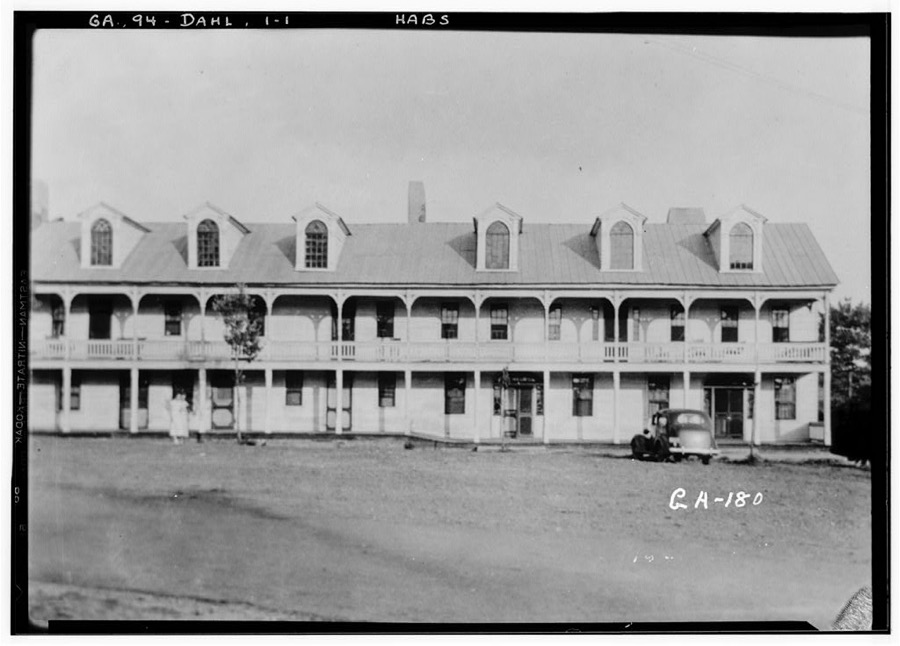
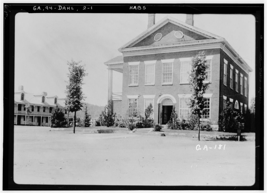
Every property in this county listed on the National Register of Historic Places, with the year it was listed and the federal nomination document.
| Photograph | Property | Type | Listed | Reference |
|---|---|---|---|---|
 | Blood Mountain Trail Shelter | building | 2013 | 12001145 |
 | Calhoun Mine | structure | 1973 | 73002292 |
| Dahlonega Commercial Historic District | district | 1983 | 83000235 | |
 | Dahlonega Consolidated Gold Mine | district | 1980 | 80001111 |
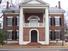 | Dahlonega Courthouse Gold Museum | building | 1971 | 71001100 |
| Daniel M. Davis House | district | 1998 | 98000227 | |
 | Fields Place-Vickery House | building | 1978 | 78000994 |
| Hawkins Street Historic District | district | 1995 | 95000504 | |
 | Holly Theatre | building | 2002 | 02000080 |
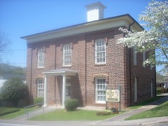 | Lumpkin County Jail | building | 1985 | 85002086 |
 | Price Memorial Hall | building | 1972 | 72000387 |
 | Seven Oaks | building | 1982 | 82002452 |
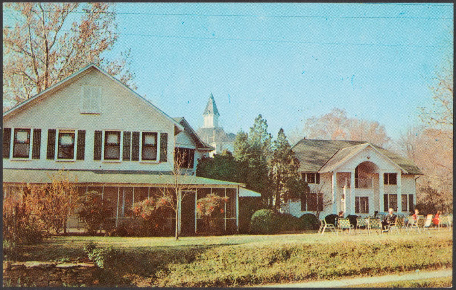
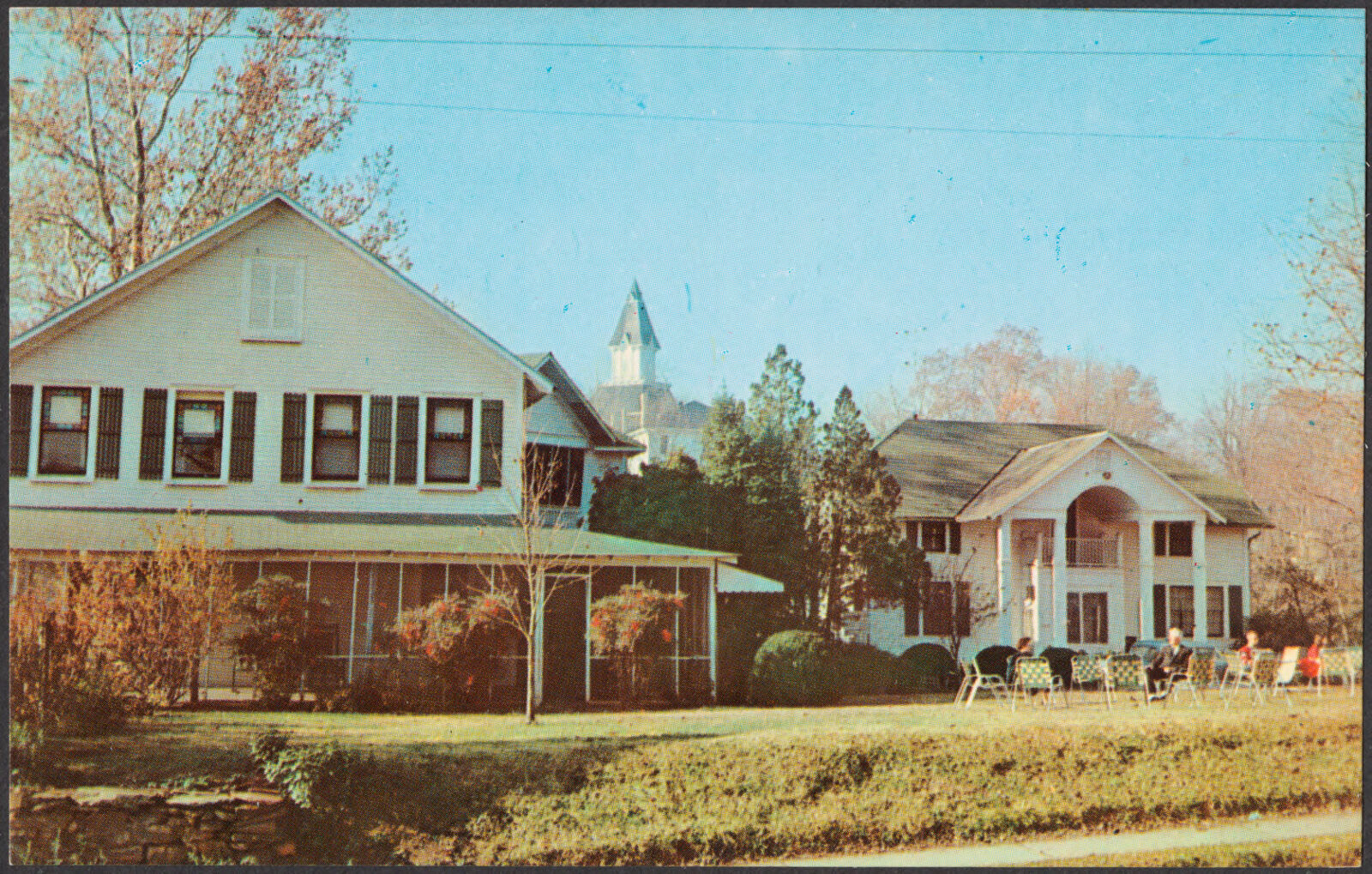
Selected from the Digital Public Library of America's 2 image records catalogued for this county. Every one shown here carries a public-domain status or a licence that permits reuse on a site that carries advertising; non-commercial, share-alike and restricted images are excluded. The selection is spread across the county's towns (at most eight per town), so no single institution's bulk upload crowds out the rest. Each opens the holding library's record, and the complete set at the Digital Public Library of America is one click away.
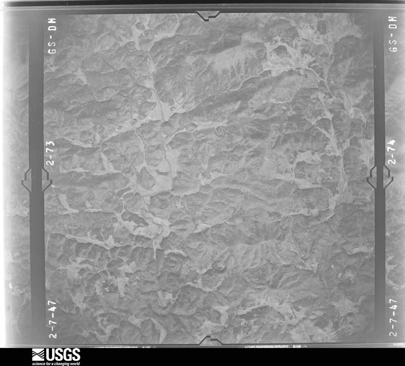
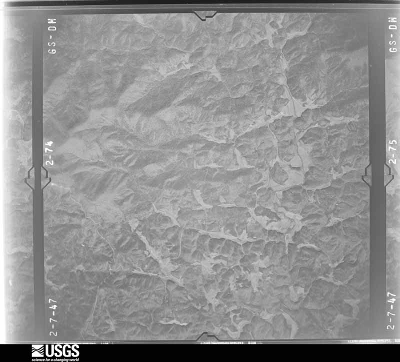
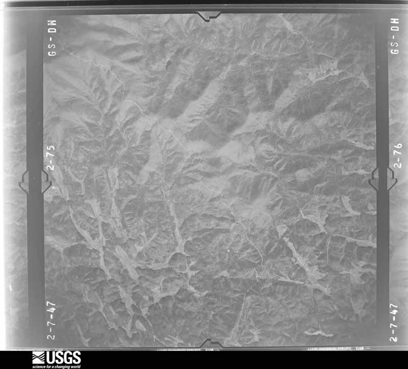
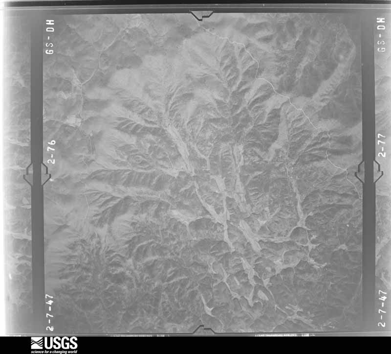
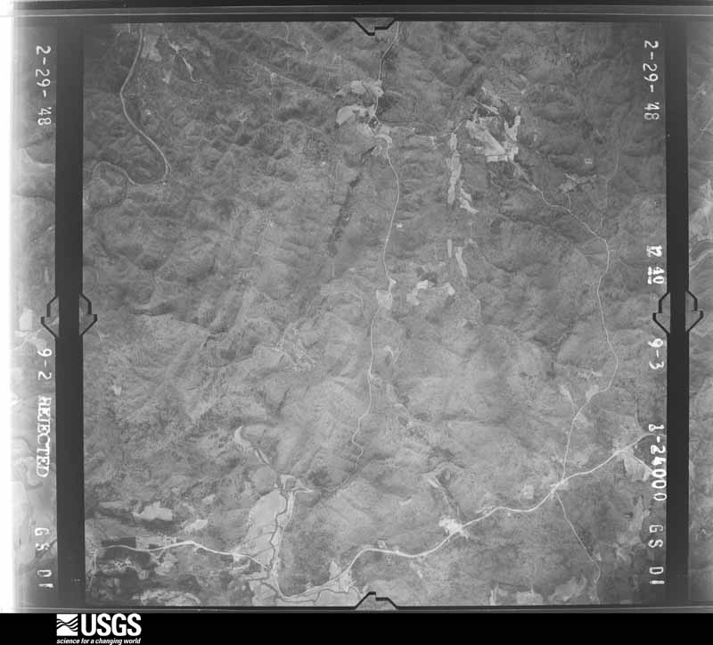
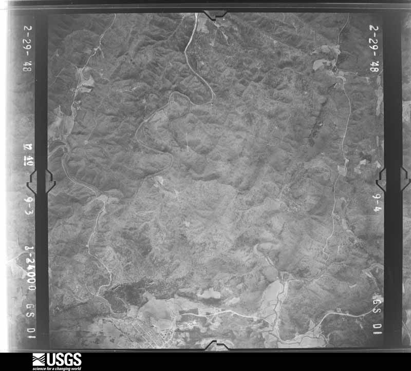
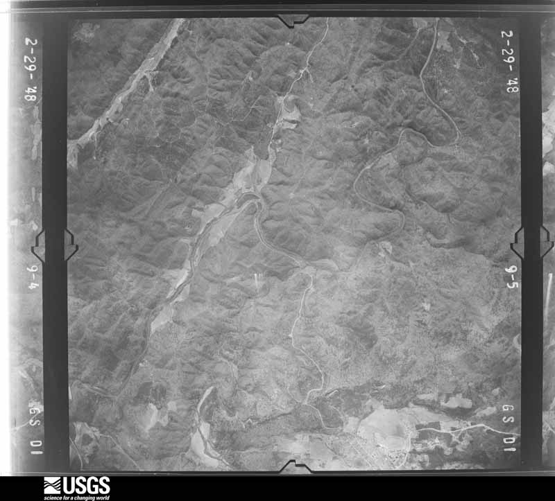
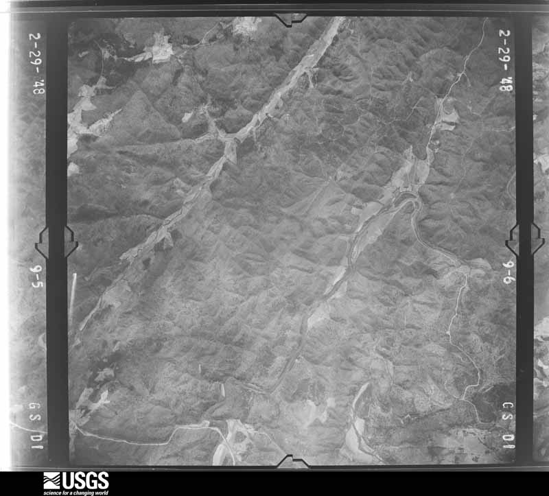
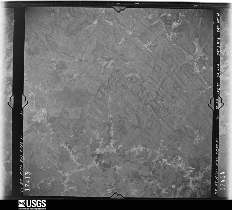
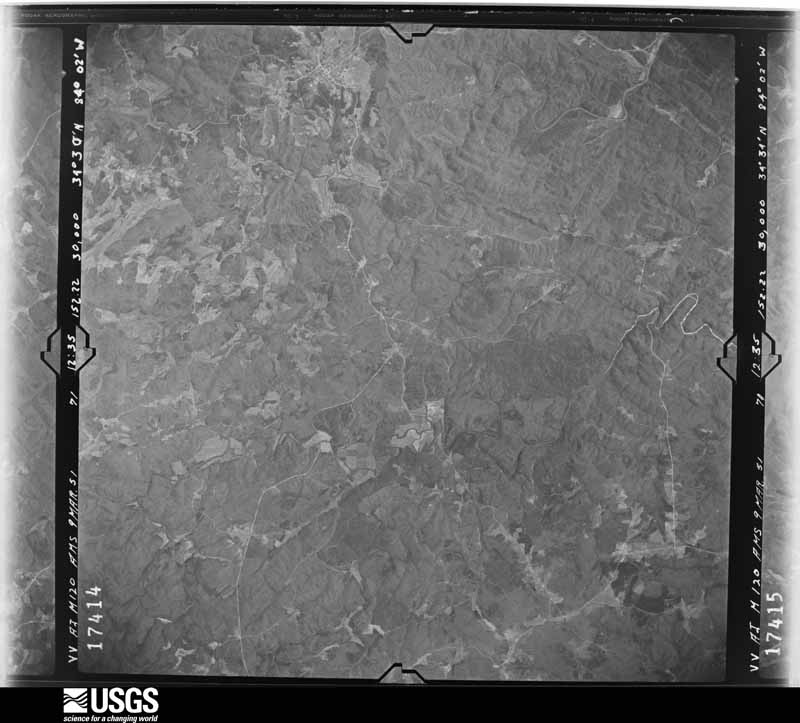
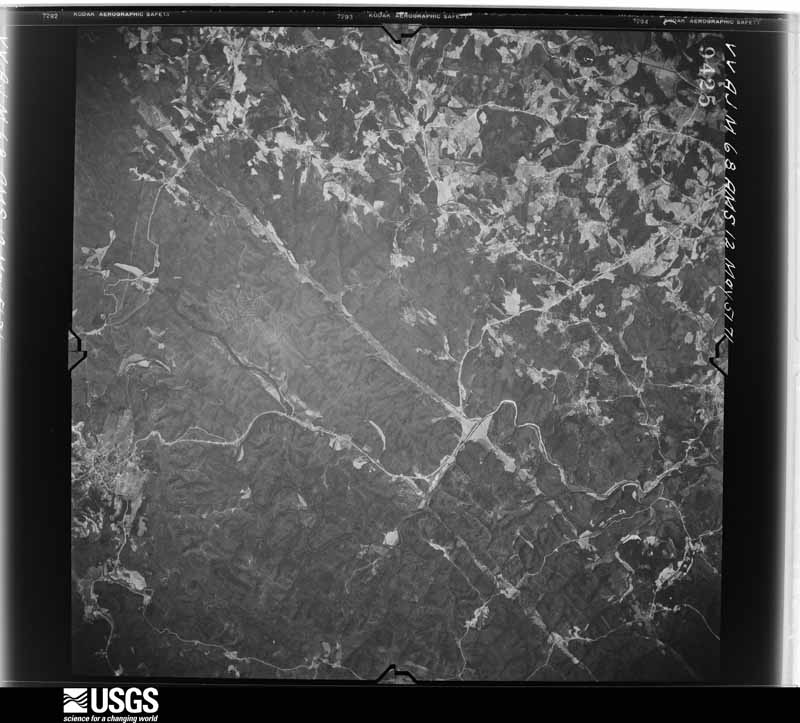
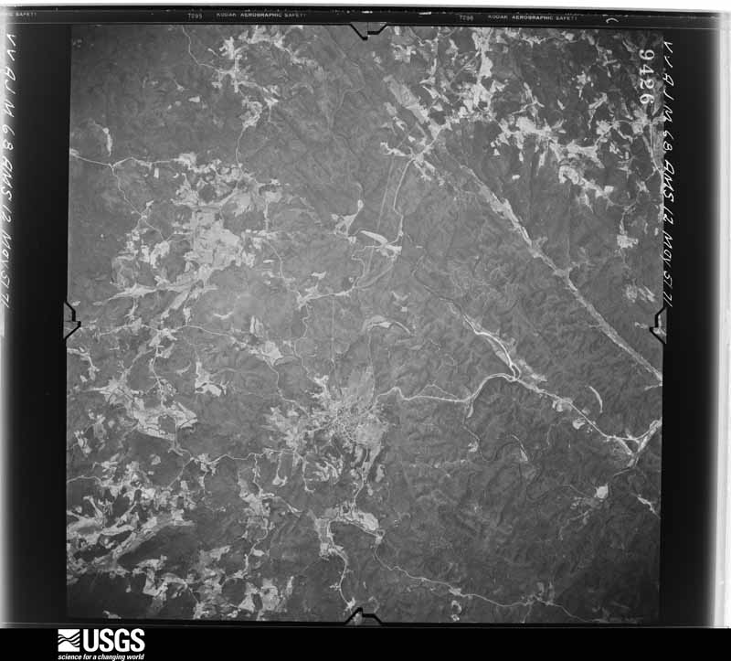
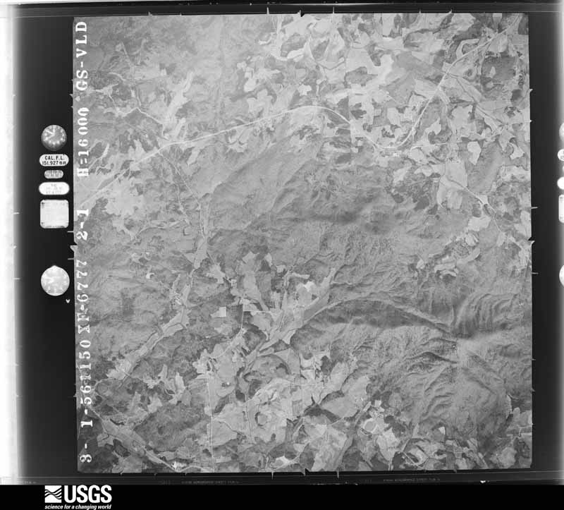
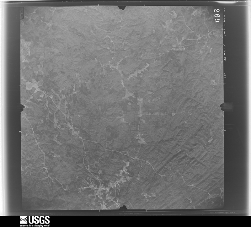
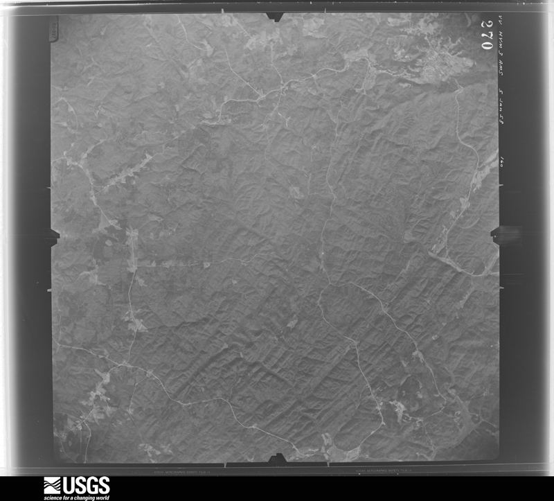
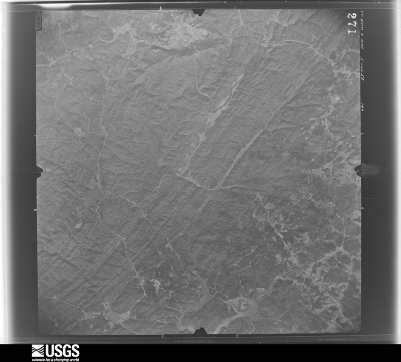
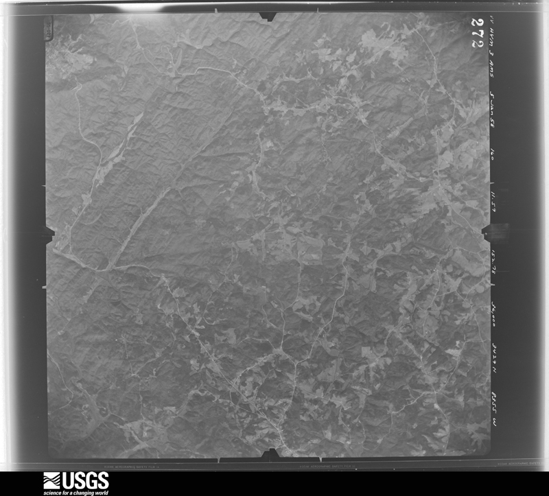
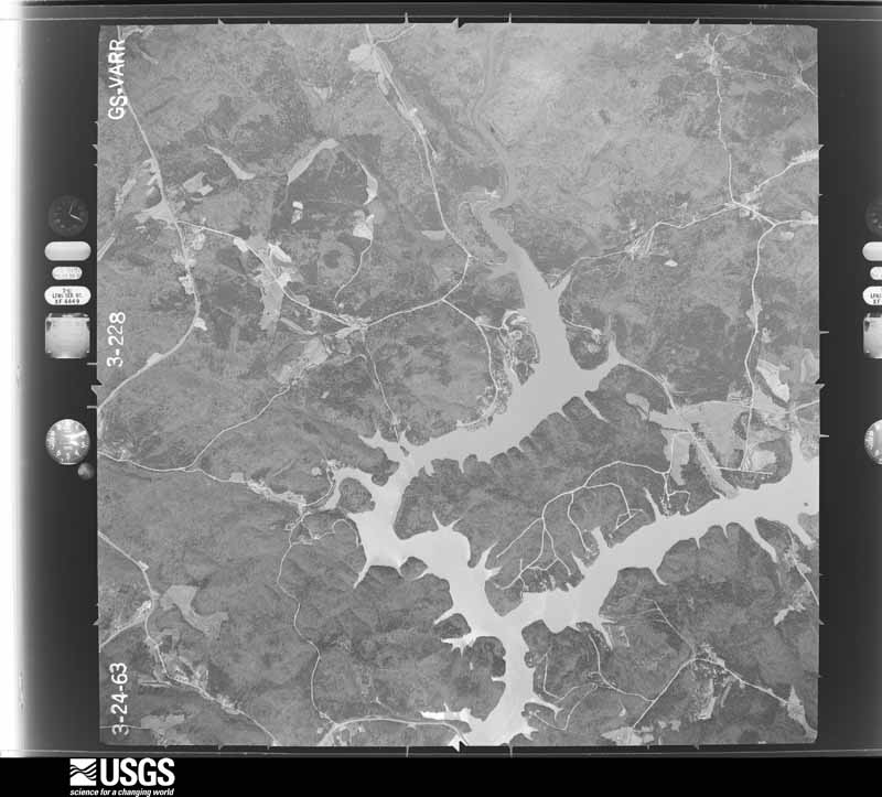
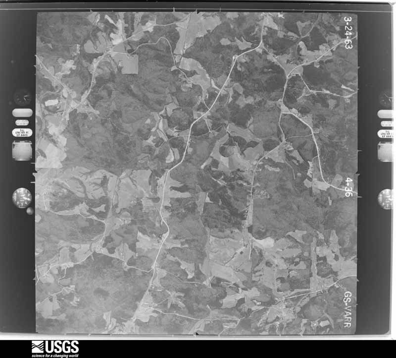
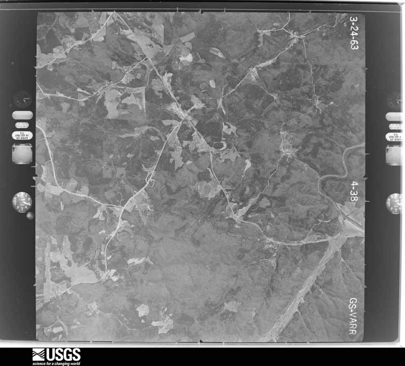
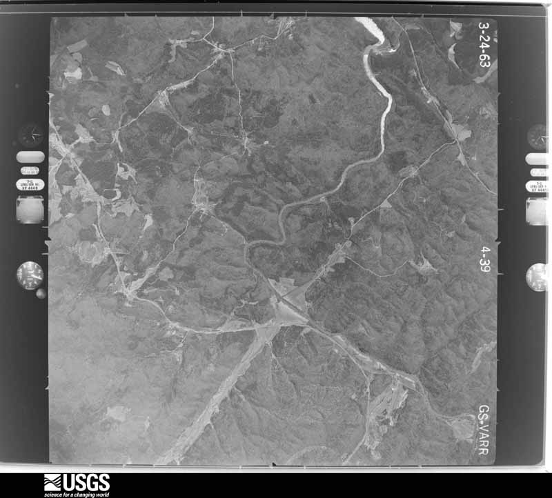
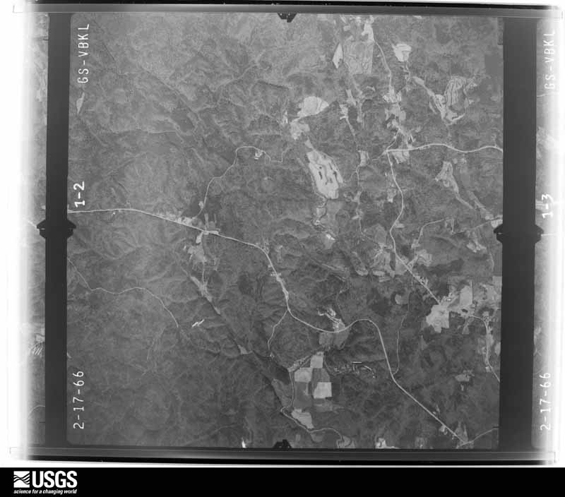
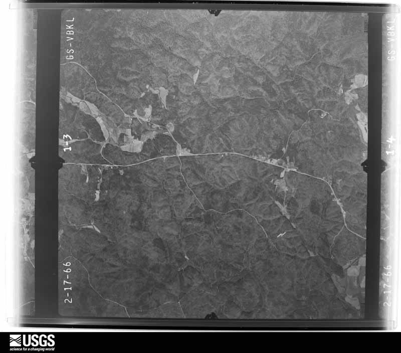
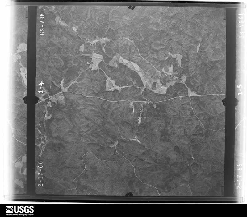
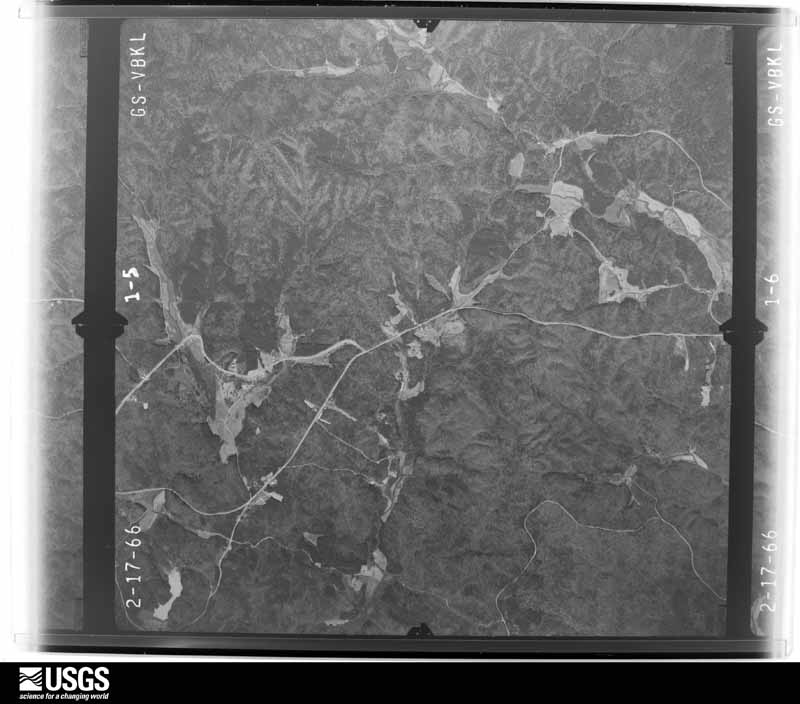
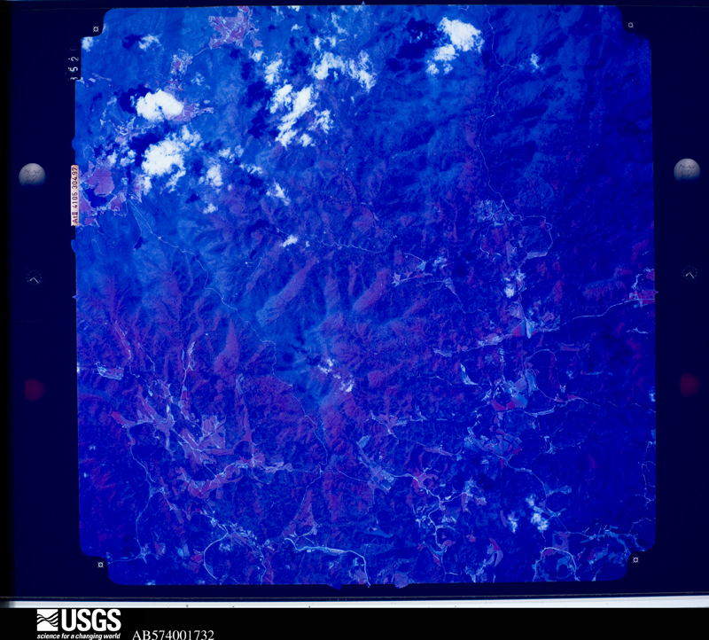
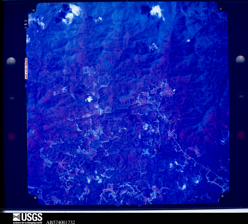
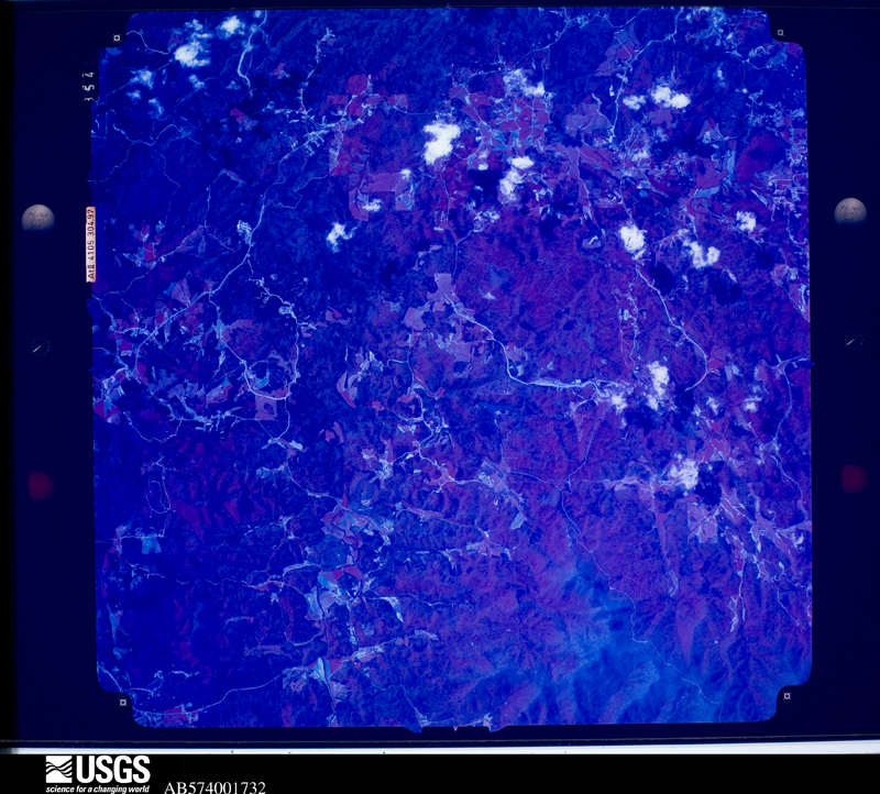
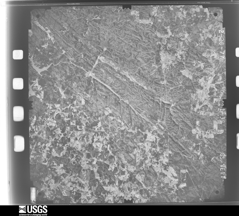
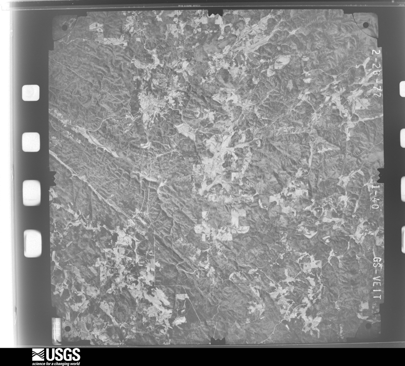
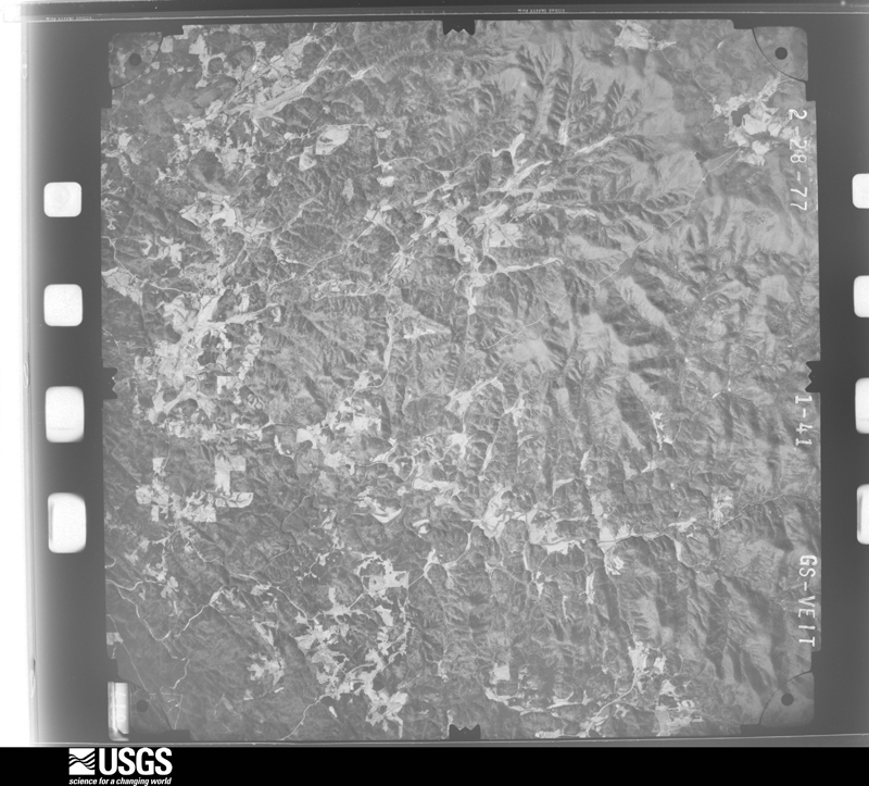
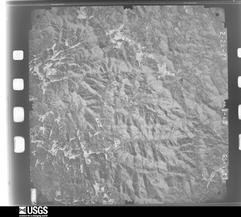
Flown by the U.S. Geological Survey between 1937 and 1989, the Aerial Photo Single Frames collection is the definitive mid-century view of the land: fields, roads and rivers as the camera saw them. The Survey holds 561 frames inside the rectangle that bounds this county; the 33 frames below were taken over the county itself, chosen across the decades of flights (at most four a year from that rectangle), so one flight cannot crowd out the rest. The full set is free to browse and download at EarthExplorer under the dataset Aerial Photo Single Frames.

The thermometers that kept this county's weather, and the gages that measured the flow of its streams, as the federal records hold them. The extremes below are measured values from those records, not estimates.
Who lived here in 1950, one enumeration district at a time, as the Census Bureau described each district. Each row opens its official National Archives result, with Population Schedules and ED Maps available there.
Every wildfire the federal occurrence database records inside this county: 1,429 of them, burning about 12,687 acres. 27 started naturally and 269 were recorded as arson. Each settlement page carries the fires within five miles of it.
| Reported cause | Fires |
|---|---|
| Debris and open burning | 807 |
| Arson/incendiarism | 269 |
| Missing data/not specified/undetermined | 133 |
| Equipment and vehicle use | 67 |
| Recreation and ceremony | 66 |
| Misuse of fire by a minor | 39 |
| Natural | 27 |
| Smoking | 15 |
| Power generation/transmission/distribution | 4 |
| Fireworks | 2 |
The five largest, by the area the report gives. Three of them were set deliberately.
| Date | Cause | Size | Reported by | Name on the report |
|---|---|---|---|---|
| 13 November 1999 | Arson/incendiarism | 2,048 acres | Chattahoochee-Oconee National Forest | PIGEON ROOST |
| 13 November 1999 | Arson/incendiarism | 2,040 acres | Chattahoochee-Oconee National Forest | TURKEY STAMP |
| 10 November 2001 | Arson/incendiarism | 915 acres | Chattahoochee-Oconee National Forest | GLASS MINE FIRE |
| 2 December 2001 | Missing data/not specified/undetermined | 802 acres | Chattahoochee-Oconee National Forest | PUNCHEON GAP |
| 10 November 2008 | Debris and open burning | 542 acres | Chattahoochee-Oconee National Forest | WOODY CREEK |
| 23 December 2016 | Equipment and vehicle use | 528 acres | Chattahoochee-Oconee National Forest | ANGRY ELF (SWAIMS COVE) |
| 20 February 2011 | Missing data/not specified/undetermined | 440 acres | Chattahoochee-Oconee National Forest | JONES CREEK FIRE |
| 2 April 2017 | Missing data/not specified/undetermined | 356 acres | Chattahoochee-Oconee National Forest | CROW |
Every settlement page carries the fires within five miles of it - see the settlement index below.
The NOAA Storm Events Database holds 173 reports for this county, causing 1 death, 74 injuries and about $8,691,150 in recorded property damage. Each settlement page carries the reports that name it.
| Kind of event | Reports |
|---|---|
| Thunderstorm Wind | 92 |
| Hail | 50 |
| Flash Flood | 13 |
| Tornado | 11 |
| Lightning | 5 |
| Flood | 1 |
| Debris Flow | 1 |
The most serious of them, by death, then injury, then recorded damage. The accounts are quoted exactly as the forecast office filed them.
| When | Event | Place named | Harm | What the report says |
|---|---|---|---|---|
| November 1992 | Tornado (F3) | not stated | 1 killed, 7 hurt, $2,500,000 | no account filed |
| February 2000 | Lightning | Chestatee | 51 hurt | Lightning struck 48 students and three Ranger instructors on a field training exercise at Camp Frank D. Merrill. As the soldiers were moving to low ground because of the weather, a lightning bolt saturated the area. Some were knocked unconscious, others were semi-concscious, while others weren't visibly affected. All were monitored for adverse affects and two soldiers remained hospitalized the next day, one in intensive care. |
| November 1996 | Tornado (F1) | Dahlonega | 12 hurt, $400,000 | no account filed |
| April 2011 | Tornado (EF2) | Walnut | 1 hurt, $750,000 | An aerial survey conducted by the National Weather Service Forecast Office in Peachtree City confirmed that the supercell thunderstorm which had already spawned several tornadoes across Alabama and two in northwest and north central Georgia, including Polk, Floyd, Bartow, and Pickens counties, spawned yet a third tornado in the Peachtree City, Georgia county warning area. This tornado was an EF2 and touched down approximately 2.5 miles west of Turners Corner or the junction of U.S. Highways 129 and 19. The tornado tracked approximately 5.6 miles across northeast Lumpkin county, crossing U.S. Highways 19/129 approximately 1.6 miles north of Turners Corner and then moving toward Whitley Gap Shelter in extreme northwest White county. The tornado also crossed the Appalachian Trail in this region. The tornado continued across northern White county and then eventually into Habersham and finally Rabun counties of northeast Georgia, both of which are under the jurisdiction of the Greenville-Spartanburg National Weather Service Forecast Office. This tornado caused a death and considerable damage in Rabun county. The total path length of this tornado was 17.5 miles. Within Lumpkin county, the tornado tracked mostly through the Chattahoochee National Forest Region. Thousands of trees were blown down or uprooted along the path of the tornado through the forest and adjacent areas. Trees blocked parts of U.S. Highway 19/129 where it crossed for several hours. A total of 14 homes suffered major damage in northern Lumpkin county from the tornado. Four other structures sustained minor damage. One injury was reported from one of the damaged homes, with no fatalities.||[04/27-04/28/11: Tornado #7, County #1-2, EF2, Lumpkin-White, 2011:016]. |
| April 1977 | Tornado (F1) | not stated | 1 hurt, $250,000 | no account filed |
| September 1977 | Tornado (F1) | not stated | 1 hurt, $25,000 | no account filed |
| July 2017 | Thunderstorm Wind | Jay | 1 hurt, $6,000 | The Lumpkin County Emergency Manager reported trees and power lines blown down across the county from west of Dahlonega near Highway 52 and Nimblewill Church Road and Highway 9 and Buck Run East to east of Dahlonega along Grindle Bridge Road where a man was injured when a large tree branch fell on him. |
| April 1974 | Tornado (F4) | not stated | $2,500,000 | no account filed |
| June 2010 | Thunderstorm Wind | Porter Spgs | $500,000 | The Lumpkin County Emergency Management Director reported that a significant thunderstorm downburst had tracked across Lumpkin county causing extensive damage. Wind gusts were measured at the 911 Center in Dahlonega at 79 mph during this event. More than 200 trees were blown down or uprooted across the county. The downed trees and wind gusts caused extensive damage to property. Several homes sustained minor to moderate damage. Damage also occurred to two schools, a 6th grade academy and the Mount Education Center. Both sustained roof and awning damage. Four businesses also suffered structural damage. Several roads across the county were blocked from downed trees. More than 3000 residents of the county were without power for much of the night.||In addition, a large oak tree fell on a sewer line within Madeleine K. Anthony Park, causing raw sewage to spill into the Yahoola Creek. |
| April 2013 | Tornado (EF1) | Albert | $300,000 | A National Weather Service storm survey determined that an EF-1 tornado touched down in Lumpkin County along Gold Ridge Road where numerous trees were snapped or uprooted. One small outbuilding had its roof blown off and two homes sustained minor roof damage. The tornado tracked northeast crossing Evergreen Court where trees were snapped and uprooted. The tornado reached maximum intensity, around 105 MPH, shortly after and along Bridgestone Way where it paralleled the road. Numerous hardwood and softwood trees were snapped and uprooted. Some of the trees fell onto homes. Twelve homes were damaged on Bridgestone Way, with two of them destroyed by trees. The tornado then continued into Hall County.|[04/11/13: Tornado #3, County #1-3, EF1, Lumpkin-Hall-Lumpkin, 2013:007]. |
| April 2009 | Hail | Auraria | $200,000 | The public observed golf ball-sized hail west of Dahlonega and penny to quarter-sized hail west of Georgia Highway 9 in the Mill Creek Station Subdivision near the Dawson county line. |
| August 2003 | Lightning | Porter Spgs | $175,000 | The Dahlonega Nugget reported that lightning struck a Poplar tree near a home on Ridge Point Road, setting an adjacent shed and the home on fire. The home was in the Frogtown area of extreme eastern Lumpkin county near the White county line. The home was a total loss. Another lightning strike struck and killed a bull in a nearby pasture. |
| May 2021 | Tornado (EF0) | Chestatee | $150,000 | A National Weather Service survey found that an EF0 tornado with maximum wind speeds of 85 MPH and a maximum path width of 350 yards touched down just northwest of the intersection of Long Branch Road and Robinson Road, snapping several trees. The tornado moved east snapping and uprooting additional large pine trees along Red Oak Flats Road then tracked over mainly rural terrain for about a mile before causing additional damage along Pony Lake Road near Old Leathers Ford Road. More concentrated tree damage was then seen along Meeks Road and Old Dahlonega Highway where a number of larger trees were snapped or uprooted around several residences. Between Meeks Road and Pecks Road, the tornado reached its maximum intensity with wind speeds of 85 MPH. Just off Pecks Road near Brewer Drive, numerous medium to large trees were uprooted. As Pecks Road turns into Parks Road, additional trees were snapped or uprooted around a residence. The tornado ended just west of Claude Parks Road. [5/4/21: Tornado #6, County #1/1, EF-0, Lumpkin, 2021:014]. |
| April 2009 | Thunderstorm Wind | Wier | $150,000 | A storm spotter/firefighter for Lumpkin county reported that more than 100 trees were blown down in the Mill Creek Station Subdivision in western Lumpkin county near the Dawson county border, west of Georgia Highway 9. One house suffered significant damage from a downed tree and a vehicle was smashed from a fallen tree. Many of the trees were uprooted or twisted off approximately 20 feet above ground level. |
| September 2004 | Flash Flood | Countywide | $150,000 | The Dahlonega Nugget reported that significant flooding was observed throughout the county causing damage to roads and other property. The most significant flooding occurred along the Chestatee River, which exceeded its banks by several feet and flooded Georgia Highway 52. A portion of Nimblewill Church Road and Sheep Wallow Road were washed out. Three other roads had to be closed because of flooding. |
| April 2017 | Tornado (EF1) | Halfway | $75,000 | A National Weather Service survey team found that an EF-1 tornado with maximum wind speeds of 100 MPH and a maximum path width of 350 yards occurred in Lumpkin County. The tornado began east of Georgia Highway 400 along Red Oak Flats Road near Red Oak Flats Loop. Numerous uprooted trees were found along the majority of Red Oak Flats Road as the tornado moved northeast. After the tornado crossed Old Dahlonega Highway it strengthened to an EF-1 along a ridgetop causing significant damage to barns and sheds. Damage to a home was found on Dunagan Drive along with numerous large trees uprooted in a pasture behind the road. The tornado continued northeast along Cleveland Highway but weakened to EF-0, causing damage to numerous trees and the collapse of a large chicken coop on Francis Smith Road. The tornado ended after moving east of Francis Smith Road. No injuries were reported. [04/03/17: Tornado #6, County #1/1, EF-1, Lumpkin, 2017:038]. |
| July 2002 | Lightning | Dahlonega | $75,000 | The Dahlonega Nugget newspaper reported that lightning struck a 66-year old home in town starting a fire which destroyed the house and all possessions. No injuries were reported as the lone 88-year old resident was able to escape from the house before it was destroyed by the fire. |
| July 2018 | Thunderstorm Wind | Etowah | $50,000 | The Lumpkin County 911 center reported numerous trees blown down across the southwest and south end of the county, from the Castleberry Bridge Road and Auraria Road area southwest of Dahlonega to the River Trace Drive and 7 Mile Hill Road area south of Dahlonega. A tree fell onto a house along River Trace Drive, no injuries were reported. |
| April 2009 | Hail | Dahlonega | $50,000 | The public observed golf ball-sized hail in the extreme east central portion of the county near the White county line. |
| July 2000 | Thunderstorm Wind | Dahlonega | $50,000 | The Dahlonega News Nugget reported numerous trees down along Lumpkin County Parkway behind the 400 Industrial Park. In addition, one home and an air stream trailer were damaged by falling trees. The public reported a possible tornado in Dahlonega which uprooted trees and blew off the roofs of some homes. While this was the same storm that shortly thereafter produced an F0 to F1 tornado in Hall county, the National Weather Service Survey Team did not see evidence of a tornado touchdown in Lumpkin county. Thus, all damage was believed to have been caused by strong straight-line thunderstorm winds. |
| August 2005 | Tornado (F0) | Dahlonega | $45,000 | A damage survey conducted by the Dawson County Emergency Management Director concluded that an F0 tornado has touched down just across the Dawson county line in Lumpkin county approximately 2.5 miles north of Burtsboro, or just north of Georgia Highway 9. The tornado then traveled north-northwest for almost one mile before lifting. The tornado damage path was determined to be 0.9 miles long and about 125 yards wide. Most of the damage occurred along Sheep Wallow Road off Mill Creek Road. Initial damage began at 2239 Sheep Wallow Road where 12 trees were uprooted or snapped. More damage was then reported between the 3210 and 3400 block of Sheep Wallow Road where damage occurred to a nursery. A greenhouse, warehouse, and two vehicles sustained mostly minor damage at this facility. Approximately 30 trees were also blown down on the nursery property or nearby. |
| June 2023 | Thunderstorm Wind | Stay | $25,000 | Emergency manager reports multiple trees down around Cavender Creek and Town Creek Church Rd. Additional trees were reported along Frogtown Rd to Turners Corner. |
| October 2019 | Flash Flood | Wier | $15,000 | The Emergency Manager reported that the Mill Creek Road culvert was partially washed out after heavy rainfall caused a rapid rise of Mill Creek. Additionally, high runoff caused erosion to the Yellow Bluff Road culvert. Radar estimates indicate that 4 to 5 inches of rain fell in this basin on October 30th, with 3 to 3.5 inches falling quickly over several hours in the afternoon. |
| July 2018 | Flash Flood | New Bridge | $15,000 | Lumpkin County Emergency Management reported River Trace Drive was washed out due to flash flooding. Radar estimates indicate rainfall amounts of around 3 inches, with locally higher amounts, occurred in this area in less than 3 hours. |
| April 2013 | Tornado (EF1) | Halfway | $15,000 | A National Weather Service storm survey team determined that the tornado that touched down in Lumpkin County and crossed into Hall briefly crossed back into Lumpkin County. It crossed Old Dahlonega Highway, damaging a few trees. Two mobile homes were damaged by falling trees along Mount Olive Church Road, and several power lines were downed as well. The tornado eventually weakened and lifted just before crossing Claude Perks Road and Starwood Drive.|[04/11/13: Tornado #1, County #3-3, EF1, Lumpkin-Hall-Lumpkin, 2013:007]. |
| June 2006 | Flash Flood | Southwest Portion | $15,000 | The Lumpkin County 911 Center reported that heavy rainfall in the far southwest corner of the county, southwest of Nimblewill and near the Dawson county line had resulted in flooding of Little Mountain Road. A culvert under the road was washed out and the road had to be closed as a result. The flooding was caused by Poverty Creek. |
| August 2008 | Flash Flood | Stay | $13,000 | The Lumpkin County Emergency Management Director confirmed that flash flooding had occurred at several locations in eastern Lumpkin county as a result of very heavy rainfall caused by the remnants of tropical storm Fay. Five-day total rainfall for the eastern portion of the county was in the six to eight inch range, but three to four inches of this fell on this day alone, resulting in flash flooding. A mudslide was observed on Corporate Road upstream from the Chestatee River Bridge approximately 5.4 miles east-northeast of Dahlonega. This resulted in the temporary closure of Corporate Road in this area. The mudslide was 20 feet by 60 feet tall. A culvert pipe on Wahoo Creek Road, a gravel road was washed out by flood waters. This was located approximately 7.9 miles east of Dahlonega. Finally, a stream crossing under Mount Olive Church Road, approximately 6.4 miles southeast of Dahlonega, overflowed its banks by at least a foot resulting in minor flooding of upstream agricultural fields. Approximately six miles east of Dahlonega, a stream overflowed onto Georgia Highway 115 near Grindale Brothers Road by at least one foot. Finally, Pecks Mill Creek overflowed its banks at the Pecks Mill Creek Road Bridge with at least two feet of water over the road. Significant erosion occurred and the culvert pipe was damaged. With the exception of this later incident, overall damage was minor and mostly in the form of debris cleanup. |
| May 2024 | Thunderstorm Wind | Turners Corner | $10,000 | Multiple trees that fell on the residence off Triple R Trail, damaging the roof, skylights, Trusses and interior. |
| June 2023 | Thunderstorm Wind | Cane Creek | $10,000 | Emergency Manager reported multiple trees down along Camp Wasega Rd between Hwy 19 and Black Mountain Rd. |
| October 2020 | Flash Flood | Garland | $10,000 | The Emergency Manager reported a portion of Jeff Sullens Road was washed out when a culvert failed. Radar estimates indicate that 3 to 5 inches of rain occurred in the area, resulting in the flash flooding. |
| June 2018 | Lightning | Hedwig | $10,000 | The Lumpkin County 911 center reported a camper fire caused by lightning on Geirrein Road. |
| April 2011 | Thunderstorm Wind | Turners Corner | $10,000 | The Lumpkin County 911 Center reported that dozens of trees were blown down in the far northern part of the county from the Union county line east of Suches to the far northeast corner of the county along White county line. |
| April 2020 | Thunderstorm Wind | Garland | $8,000 | Multiple trees were downed onto the roadway along Branch Road. |
| October 2019 | Thunderstorm Wind | Wier | $8,000 | The Lumpkin County Emergency Manager reported trees blown down across the county, including along Lee Chester Road, Syrup Mill Road, Halls Mill Road, Lancelot Road, and Mt. Olive Church Road. |
| June 2025 | Thunderstorm Wind | Dahlonega | $7,000 | Multiple trees down from Dahlonega east towards GA 52 and GA 115. |
| March 2017 | Lightning | Stay | $6,000 | The Lumpkin County Emergency Manager reported that lightning caused a small brush fire on White Pine Drive. |
| March 2017 | Thunderstorm Wind | Dahlonega | $6,000 | The Lumpkin County Emergency Manager reported several trees blown down at the intersection of Sky Country Road and Wimpy Mill Road. |
| June 2013 | Thunderstorm Wind | Fort Smith | $5,000 | The Lumpkin County 911 Center reported that many trees were down across the county and especially to the northeast of Dahlonega. |
| September 2009 | Flood | Walnut | $5,000 | The Lumpkin County Emergency Management Director reported that general flooding continued across the county following earlier flash flooding. One home along the Chestatee River suffered minor damage from high water. Many creeks and streams across the county were out of their banks. Several roads remained under water as well, but no additional major flooding problems were reported. |
| September 2009 | Flash Flood | Fort Smith | $5,000 | The Lumpkin County Emergency Management Director, the county 911 center, and the public all observed flash flooding in several areas of the county. Several roads were washed out from several hours of repeated heavy rainfall. Widespread minor flooding was observed along Woody and Yahoola Creeks flooding adjacent fields and pasture lands. A person had to be evacuated from their home near the Chestatee River. A mudslide occurred along Corinth Church Road. Fortunately, no injuries were observed and damage was confined to minor debris removal. |
| June 2008 | Thunderstorm Wind | Dahlonega | $5,000 | The Lumpkin County Emergency Management Director reported that from 20 to 25 trees were blown down in the western part of the county around Nimblewill. Several roads were blocked from downed trees. |
| July 2003 | Flash Flood | Dahlonega | $5,000 | The Lumpkin county 911 center reported that flash flooding had occurred in a small area northwest of Dahlonega, resulting in damage to Horton Road. |
| May 1998 | Hail | Dahlonega | $5,000 | The public reported baseball size and 3 inch diameter hail in the Dahlonega area. |
| June 1994 | Thunderstorm Wind | Dahlonega | $5,000 | Several large trees were downed by thunderstorm winds. |
| May 2014 | Thunderstorm Wind | Dahlonega | $3,000 | The Lumpkin County 911 Center reported that several trees and powerlines were down near Happy Hollow and Rock Chimney Lanes. |
| April 2007 | Thunderstorm Wind | Dahlonega | $3,000 | The Lumpkin County Emergency Management Director reported that about 20 small trees were down across the western portion of the county. In addition, one power line was also down in this area. Several reports of funnel clouds were received from the public in this part of the county. |
| January 2013 | Thunderstorm Wind | Dahlonega | $2,250 | The Lumpkin County 911 Center reported 9 trees down in Dahlonega. |
| May 2025 | Thunderstorm Wind | Auraria | $2,000 | Emergency manager reported tree damage and damage to power lines along Summerour Rd. |
| May 2025 | Thunderstorm Wind | Tube | $2,000 | Emergency manager reported damage to a few trees and power lines along Cloudland Rd N. |
| July 2024 | Thunderstorm Wind | Halfway | $2,000 | Trees down along Pony Lake Road . |
| August 2024 | Thunderstorm Wind | Chestatee | $2,000 | Trees down at brandy mountain rd and s chestatee st. |
| May 2024 | Thunderstorm Wind | Stay | $2,000 | Trees and lines down on Town Creek Church Rd north of Calendar Creek Rd. |
| June 2018 | Thunderstorm Wind | Jay | $2,000 | The Lumpkin County 911 center reported power lines blown down around the intersection of Horton Road and Arborview Drive. |
| March 2010 | Thunderstorm Wind | Auraria | $2,000 | The Lumpkin County 911 Center reported that at least six trees were down across the county, especially in the Dahlonega area. Power was out from a downed power line in the Georgia Highway 52 area near Dahlonega. |
| July 2003 | Thunderstorm Wind | Dahlonega | $2,000 | The Lumpkin county 911 center reported that several trees and power lines were down. |
| November 2002 | Thunderstorm Wind | Dahlonega | $2,000 | The Lumpkin county Emergency Management Director reported that several trees were blown down. |
| September 2002 | Thunderstorm Wind | Countywide | $2,000 | The Lumpkin county 911 center reported scattered trees down in several areas around the county. The Amicalola Electric Membership Cooperative noted at least one tree down in the southern part of the county. |
| July 1997 | Thunderstorm Wind | Dahlonega | $2,000 | Several trees were knocked down and power lines snapped by thunderstorm winds along Georgia Highway 52 as well as in the Dahlonega area. Winds were estimated at 55 to 63 mph.. |
| March 2013 | Thunderstorm Wind | Walnut | $1,500 | The Lumpkin County 911 Center reported that several trees had blown down in the extreme northern part of the county. |
| July 2013 | Thunderstorm Wind | Fort Smith | $1,500 | The Lumpkin County 911 Center reported several trees down across the northern part of the county. |
The Survey's mineral resources record lists 75 workings inside this county. 3 still produce and 72 are closed or unrecorded. Each settlement page carries the workings within five miles of it.
| Commodity | Workings |
|---|---|
| Gold | 68 |
| Silver | 7 |
| Iron | 3 |
| Stone, Crushed/Broken | 2 |
| Sulfur, Copper | 1 |
| Copper, Sulfur, Zinc | 1 |
| Sulfur | 1 |
The least common of them first, because a county's hundredth gravel pit says nothing its first ten did not.
| Where | Site | Commodity | Status | Recorded |
|---|---|---|---|---|
| Anderson Prospect | Sulfur, Copper | Past Producer | 1868, 1898 | |
| Chestatee Mine | Copper, Sulfur, Zinc | Past Producer | ||
| Chestatee Pyrite Mine | Sulfur, Iron | Prospect | ||
| Colwell Quarry | Stone, Crushed/Broken | Producer | ||
| Fields Quarry | Stone, Crushed/Broken | Producer | ||
| C M Moore Estate Prospect | Iron | Prospect | ||
| Stewart Mine | Iron | Past Producer | ||
| Barlow | Gold, Silver | Prospect | Vein And Placer | |
| Battle Branch Mine | Gold, Silver | Past Producer | Vein | |
| Belle | Gold, Silver | Prospect | Vein And Placer | |
| Columbia Mine | Gold, Silver | Past Producer | ||
| Gordon | Gold, Silver | Prospect | Vein And Placer | |
| Josephine (Auraria) | Gold, Silver | Prospect | Vein And Placer | |
| Whim Hill | Gold, Silver | Prospect | Vein And Placer | |
| Arnold Consolidated Gold Mines | Gold | Past Producer | ||
| Barlow Mine | Gold | Past Producer | ||
| Bast Mine | Gold | Past Producer | ||
| Battle Branch Mine | Gold | Past Producer | ||
| Beers Mine | Gold | Past Producer | ||
| Belle Mine | Gold | Past Producer | ||
| Betz Mine | Gold | Past Producer | ||
| Boly Field Mine | Gold | Past Producer | ||
| Bowen Lot | Gold | Occurrence | ||
| Boyd's Mine | Gold | Past Producer | ||
| Briar Patch Mine | Gold | Past Producer | ||
| Calhoun Mine | Gold | Producer | ||
| Capps Mine | Gold | Past Producer | ||
| Cavender Creek Prospect | Gold | Prospect | ||
| Cavender's Creek | Gold | Past Producer | Vein | |
| Chestatee Mine | Gold | Past Producer | ||
| Cleveland Mine | Gold | Past Producer | ||
| Consolidated Mine | Gold | Past Producer | ||
| Cora Lee Mine | Gold | Prospect | Vein | |
| Cora Lee Prospect | Gold | Prospect | ||
| Crisson Mine | Gold | Past Producer | ||
| Crown Mountain | Gold | Past Producer | ||
| Crown Mountain Mine | Gold | Past Producer | ||
| Danae Mine | Gold | Past Producer | ||
| Dry Hollow Mine | Gold | Past Producer | ||
| Etowah Gold Mining Properties | Gold | Past Producer | ||
| Findley Mine | Gold | Past Producer | ||
| Findley Mine Et Al. (Mines In the Dahlonega District) | Gold | Past Producer | Vein | |
| Fish Trap Mine | Gold | Past Producer | ||
| Free Jim Mine | Gold | Past Producer | ||
| Garnet | Gold | Prospect | Vein | |
| Garnet Mine | Gold | Past Producer | ||
| Gold Hill Mine | Gold | Past Producer | ||
| Gordon Mine | Gold | Past Producer | ||
| Griscom Mine | Gold | Past Producer | ||
| Hand Mine | Gold | Past Producer | ||
| Hedwig Mine | Gold | Past Producer | ||
| Ivey Mine | Gold | Past Producer | ||
| Josephine Mine | Gold | Past Producer | ||
| Jumbo | Gold | Prospect | Vein | |
| Jumbo Mine | Gold | Past Producer | ||
| Kin Mori Mine | Gold | Past Producer | ||
| Lawrence Mine | Gold | Past Producer | ||
| Lockhart Mine | Gold | Past Producer | ||
| Mary Henry Mine | Gold | Past Producer | ||
| Mcafee-Lynn Mine | Gold | Past Producer | ||
| Norrell Mine | Gold | Past Producer | ||
| Old Columbia Mine | Gold | Past Producer | ||
| Preacher Mine | Gold | Past Producer | ||
| R.C. Wood | Gold | Prospect | Vein | |
| Ralston Mine | Gold | Past Producer | ||
| Rider Mine | Gold | Past Producer | ||
| Saprolite Mine | Gold | Past Producer | ||
| Singleton Mine | Gold | Past Producer | ||
| Tahloneka Branch (Winfield Branch) | Gold | Past Producer | Streaam Placer | |
| Tahloneka Mine | Gold | Past Producer | ||
| Topabri Mine | Gold | Past Producer | ||
| Turkey Hill Mine | Gold | Past Producer | ||
| Wells Mine | Gold | Past Producer | ||
| Whim Hill Mine | Gold | Past Producer | ||
| Yahoola Mine | Gold | Past Producer |
Named settlements recorded in the Geographic Names Information System, each with the topographic sheets covering it. Villages, hamlets and abandoned places alike. Each is shown with the nearest named watercourse or landform and the survey quadrangle it falls on.
Three Sisters Mountain census division · 30533 · On Long Branch · Murrayville quadrangle
15 sheets, 1891 to 1979
No longer a settlement
Dahlonega census division · 30534 · Near Whim Hill · Dawsonville quadrangle
18 sheets, 1890 to 1997
Dahlonega census division · 30533 · On Scott Branch · Campbell Mountain quadrangle
21 sheets, 1888 to 1981
Dahlonega census division · 30533 · On Little Cane Creek · Campbell Mountain quadrangle
21 sheets, 1888 to 1981
Dahlonega census division · 30533 · Near Crown Mountain · Dahlonega quadrangle
18 sheets, 1886 to 1981
Dahlonega census division · 30534 · On Camp Creek · Dawsonville quadrangle
18 sheets, 1890 to 1997
No longer a settlement
Three Sisters Mountain census division · 30533 · On Walker Creek · Neel Gap quadrangle
24 sheets, 1886 to 1988
Three Sisters Mountain census division · 30533 · Dahlonega quadrangle
18 sheets, 1886 to 1981
Three Sisters Mountain census division · 30528 · On Mill Creek · Neel Gap quadrangle
24 sheets, 1886 to 1988
No longer a settlement
Three Sisters Mountain census division · 30564 · Near Mincle Mountain · Cleveland quadrangle
19 sheets, 1886 to 1981
No longer a settlement
Three Sisters Mountain census division · 30533 · Murrayville quadrangle
15 sheets, 1891 to 1979
No longer a settlement
Dahlonega census division · 30533 · On Hurricane Creek · Campbell Mountain quadrangle
21 sheets, 1888 to 1981
No longer a settlement
Dahlonega census division · 30533 · On Mud Creek · Campbell Mountain quadrangle
21 sheets, 1888 to 1981
No longer a settlement
30564 · On Cane Branch · Murrayville quadrangle
15 sheets, 1891 to 1979
No longer a settlement
Dahlonega census division · 30533 · Near Jake Mountain · Nimblewill quadrangle
20 sheets, 1888 to 1997
Three Sisters Mountain census division · 30533 · On Porter Springs Cedar Mountain · Neel Gap quadrangle
24 sheets, 1886 to 1988
Three Sisters Mountain census division · 30533 · On Left Fork Cavenders Creek · Dahlonega quadrangle
18 sheets, 1886 to 1981
No longer a settlement
Three Sisters Mountain census division · 30533 · Dahlonega quadrangle
18 sheets, 1886 to 1981
No longer a settlement
Three Sisters Mountain census division · 30528 · On Boggs Creek · Neel Gap quadrangle
24 sheets, 1886 to 1988
Three Sisters Mountain census division · 30528 · On Dicks Creek · Neel Gap quadrangle
24 sheets, 1886 to 1988
No longer a settlement
Dahlonega census division · 30533 · On Poverty Creek · Nimblewill quadrangle
20 sheets, 1888 to 1997
No longer a settlement
Three Sisters Mountain census division · 30533 · On Left Fork Cavenders Creek · Dahlonega quadrangle
18 sheets, 1886 to 1981
No longer a settlement
Three Sisters Mountain census division · 30533 · On Pruitt Creek · Neel Gap quadrangle
24 sheets, 1886 to 1988
No longer a settlement
The vanished settlements of Lumpkin County: the places named above that are no longer on the map.
The complete index, with nothing left out. Each of these is a separate record with its own page: a federal survey report, or the case file that argued a property on to the National Register. Both are public domain and reproduced word for word.
The vanished settlements of Lumpkin County, the places these records name that are no longer on the map.