 Block
From the record
17 National Register listings published here.
Sources: the National Register database, National Park Service
24 topographic sheets and 12 fire insurance atlases across 2 places.
17 National Register listings published here.
Sources: the National Register database, National Park Service
Taken for the Office of War Information and the Farm Security Administration, who photographed the country between 1935 and 1944. Works of United States government photographers, with no known restriction on use. Each opens its catalogue record.

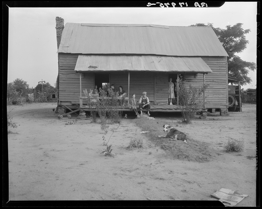
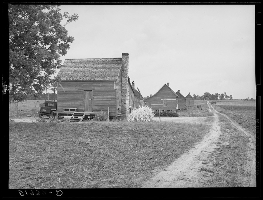

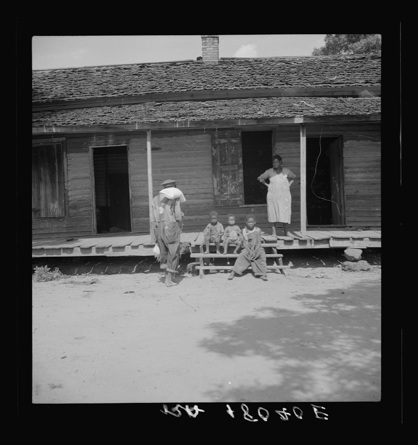





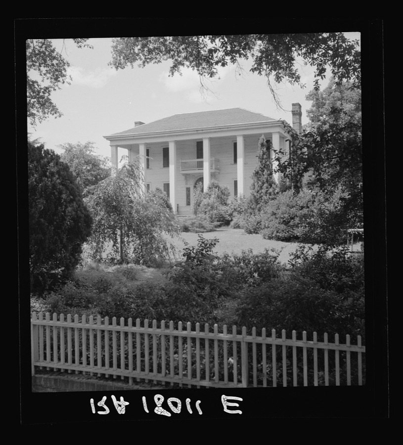


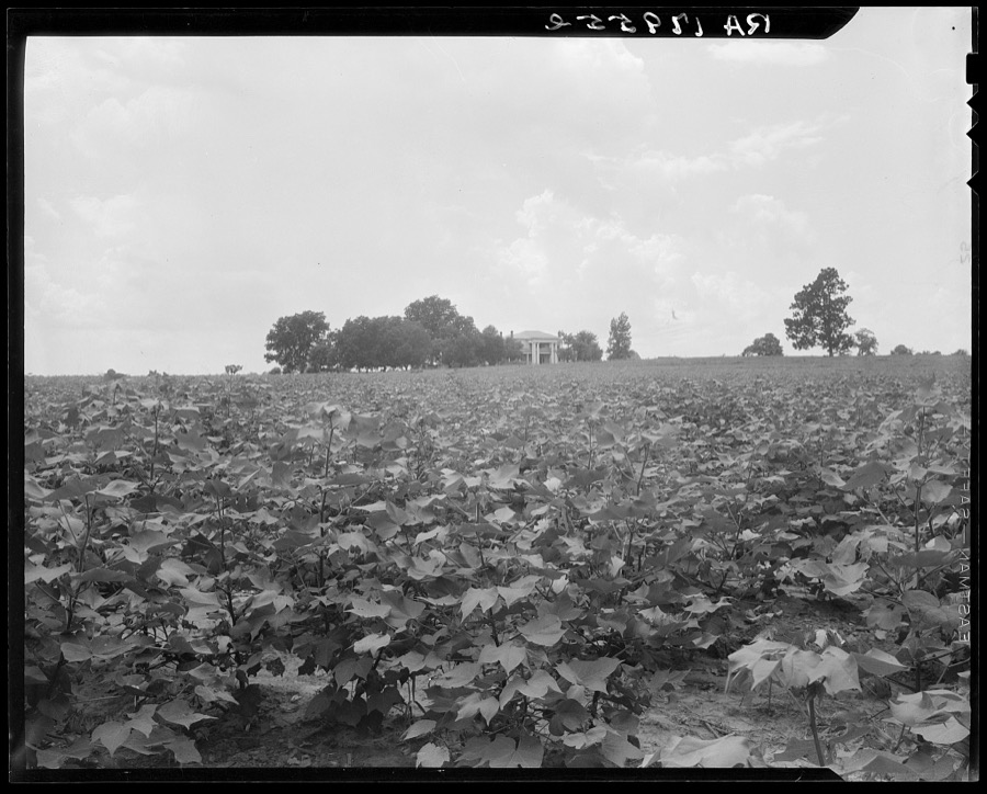


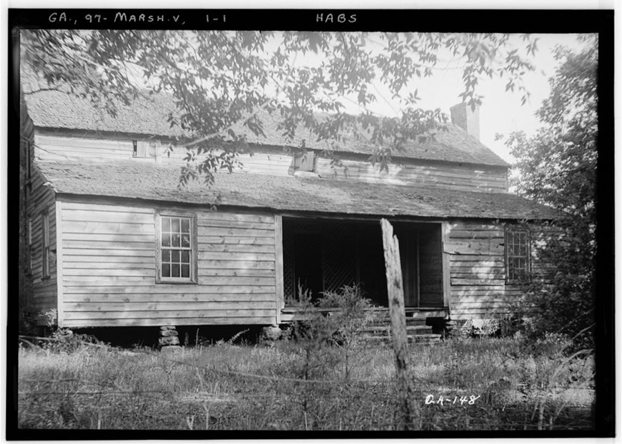
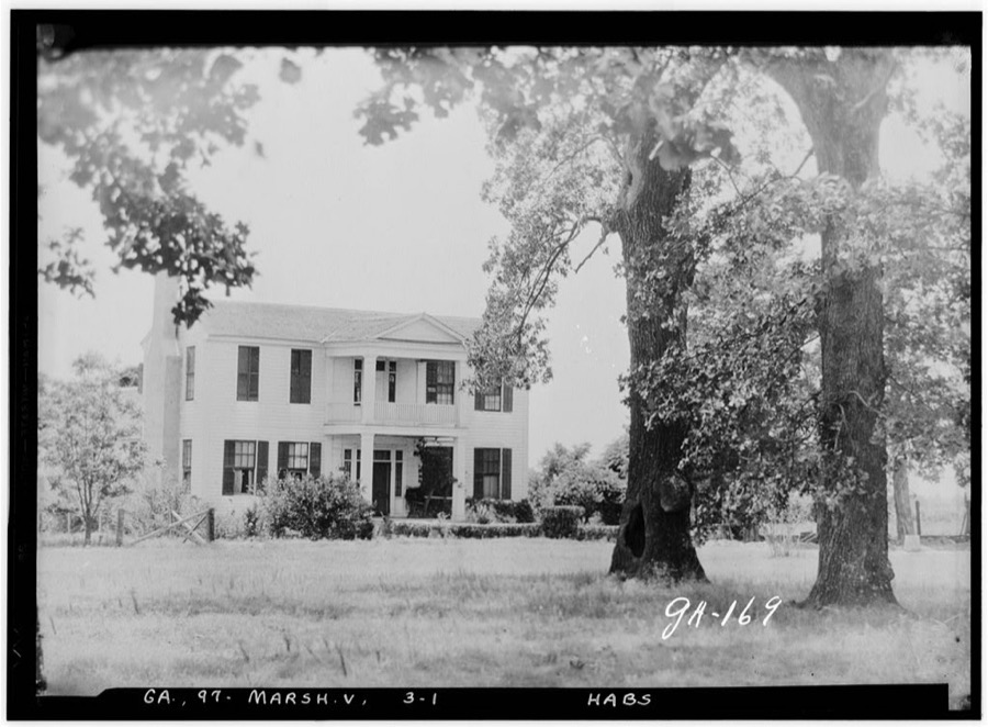
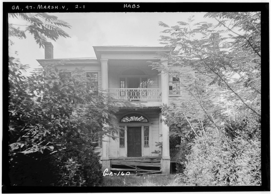
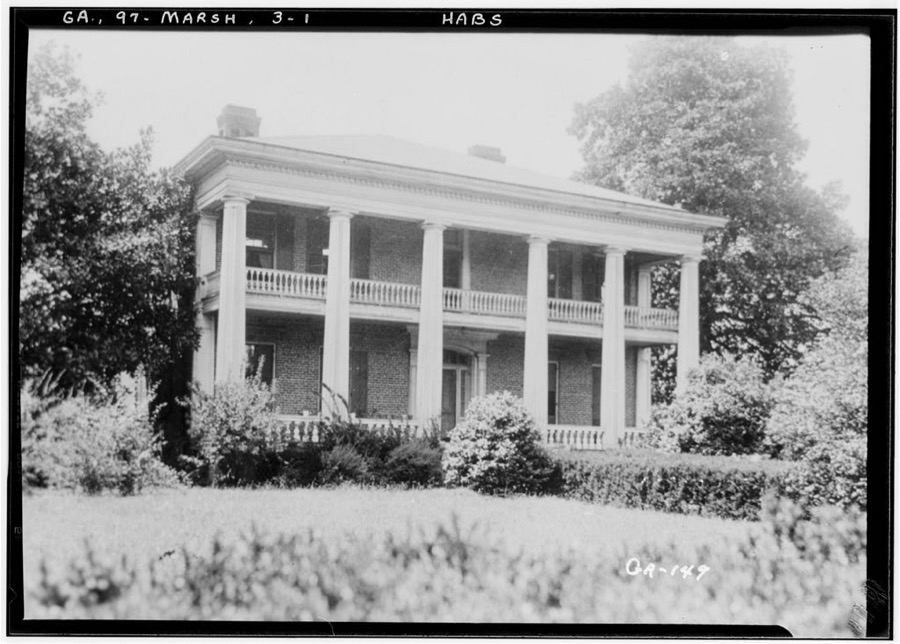
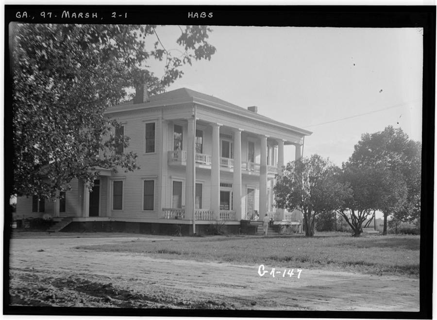
Every property in this county listed on the National Register of Historic Places, with the year it was listed and the federal nomination document.
| Photograph | Property | Type | Listed | Reference |
|---|---|---|---|---|
| Alma Fruit Farm | building | 1980 | 80004446 | |
 | Andersonville National Historic Site | district | 1970 | 70000070 |
| Billy Place | building | 1980 | 80004444 | |
| DeVaughn-Lewis House | building | 1985 | 85000937 | |
| East Main Street Residential District | district | 1980 | 80004454 | |
| William Hamilton Felton House | building | 1980 | 80004447 | |
| Wilkes Knob Plantation | building | 1980 | 80004451 | |
| Lamson-Richardson School | building | 1981 | 81000697 | |
 | Macon County Courthouse | building | 1980 | 80001113 |
| Marshallville Commercial District | district | 1980 | 80004452 | |
| Massee Lane | building | 1980 | 80004450 | |
 | Montezuma Depot | building | 1980 | 80001112 |
| Montezuma Historic District | district | 2003 | 03001017 | |
| Thronateeska | building | 1980 | 80004445 | |
| West Main Street Residential District | district | 1980 | 80004453 | |
| Willow Lake | building | 1980 | 80004449 |
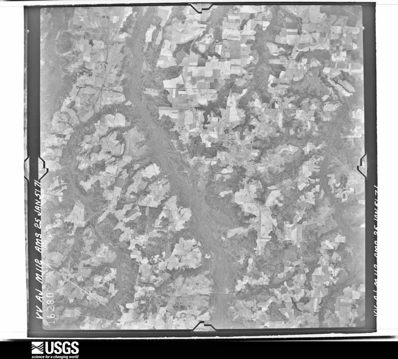
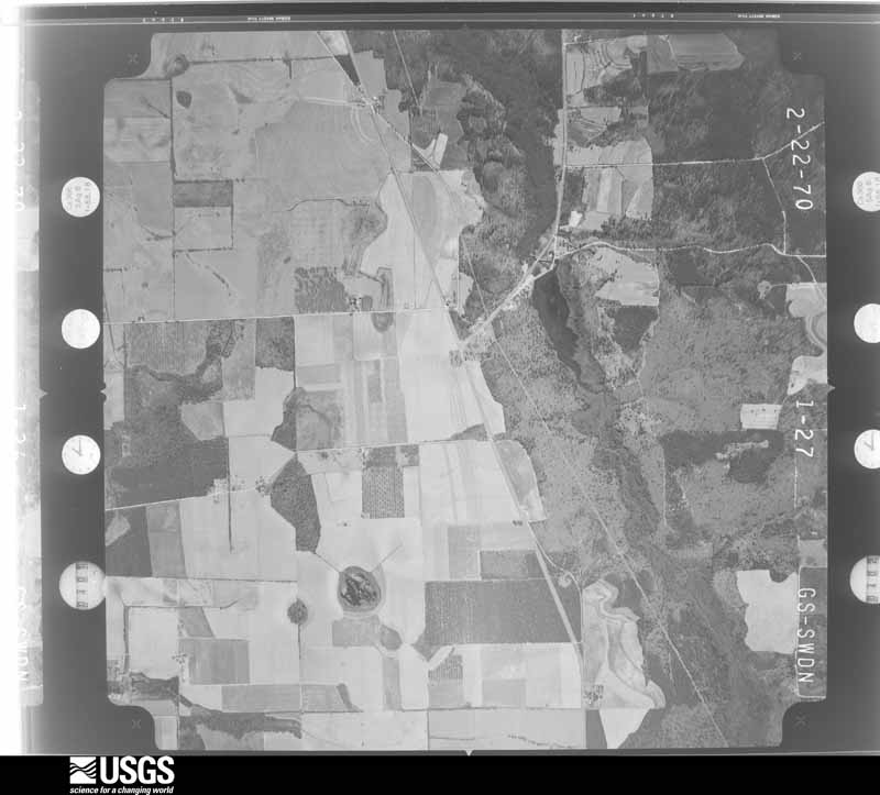
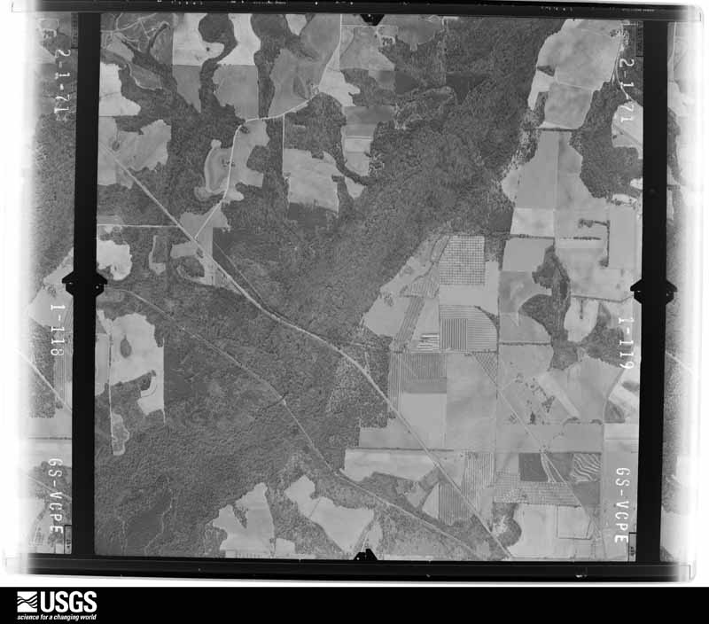
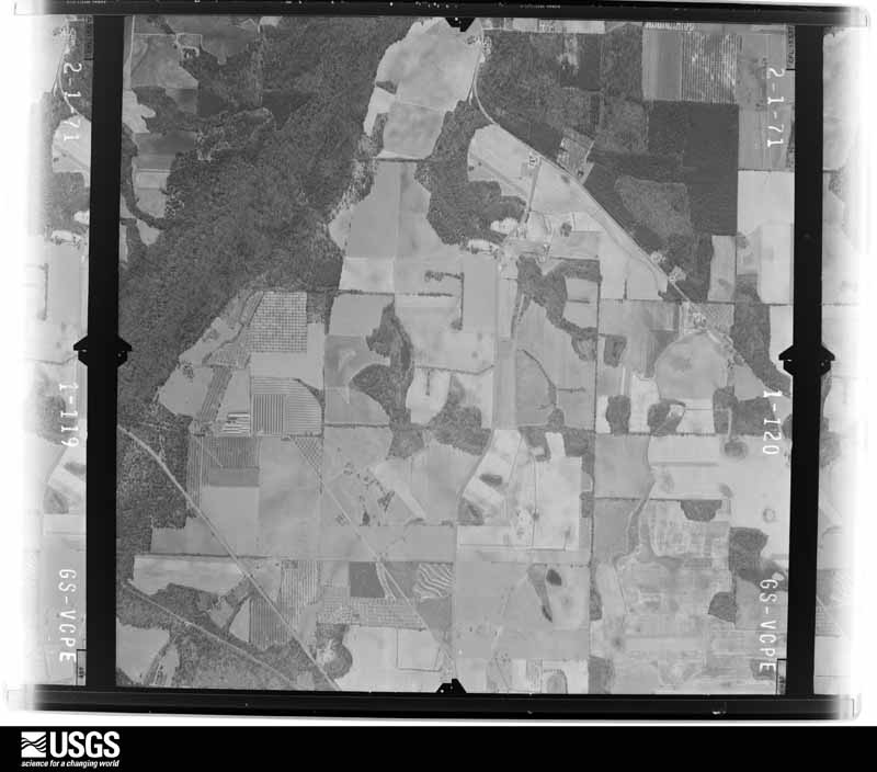
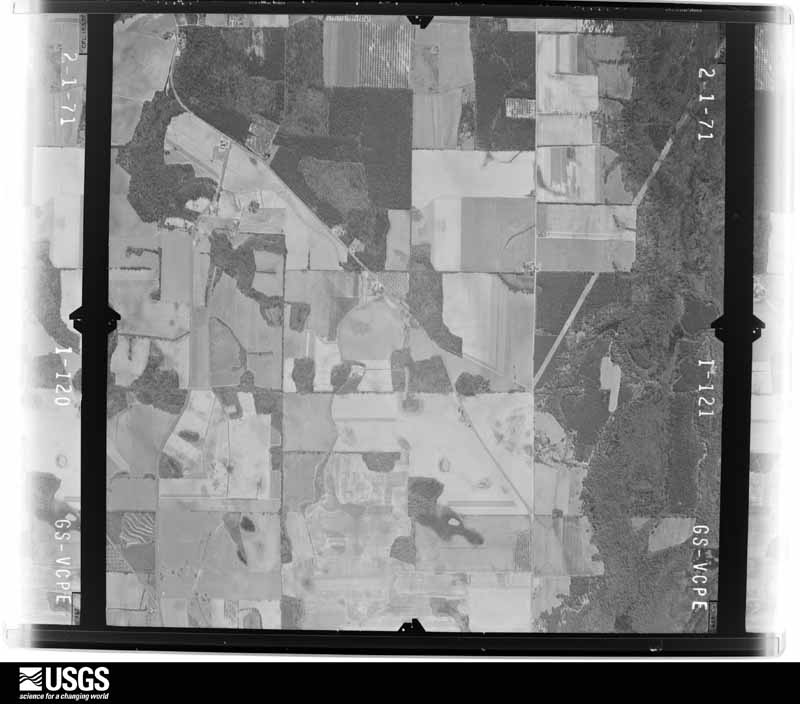
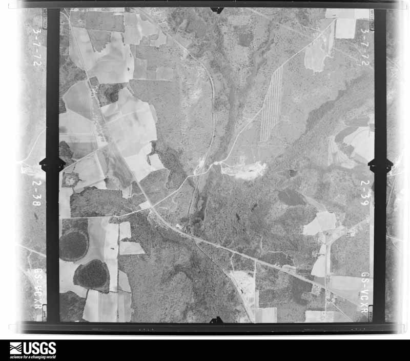
Flown by the U.S. Geological Survey between 1937 and 1989, the Aerial Photo Single Frames collection is the definitive mid-century view of the land: fields, roads and rivers as the camera saw them. The Survey holds 612 frames inside the rectangle that bounds this county; the 25 frames below were taken over the county itself, chosen across the decades of flights (at most four a year from that rectangle), so one flight cannot crowd out the rest. The full set is free to browse and download at EarthExplorer under the dataset Aerial Photo Single Frames.



















The thermometers that kept this county's weather, and the gages that measured the flow of its streams, as the federal records hold them. The extremes below are measured values from those records, not estimates.
Who lived here in 1950, one enumeration district at a time, as the Census Bureau described each district. Each row opens its official National Archives result, with Population Schedules and ED Maps available there.
Every wildfire the federal occurrence database records inside this county: 824 of them, burning about 3,663 acres. 34 started naturally and 63 were recorded as arson. Each settlement page carries the fires within five miles of it.
| Reported cause | Fires |
|---|---|
| Debris and open burning | 461 |
| Equipment and vehicle use | 115 |
| Arson/incendiarism | 63 |
| Railroad operations and maintenance | 40 |
| Smoking | 37 |
| Natural | 34 |
| Missing data/not specified/undetermined | 29 |
| Recreation and ceremony | 24 |
| Misuse of fire by a minor | 21 |
The five largest, by the area the report gives. One of them was set deliberately.
| Date | Cause | Size | Reported by | Name on the report |
|---|---|---|---|---|
| 5 September 1999 | Smoking | 126 acres | Georgia Forestry Commission | not named |
| 31 August 2019 | Debris and open burning | 116 acres | Georgia Forestry Commission | FY2020MACON002 |
| 12 March 2009 | Debris and open burning | 116 acres | Georgia Forestry Commission | not named |
| 31 July 2019 | Missing data/not specified/undetermined | 114 acres | Georgia Forestry Commission | GENE WILBURN RD |
| 17 March 2004 | Arson/incendiarism | 99 acres | Georgia Forestry Commission | not named |
| 22 May 2011 | Railroad operations and maintenance | 91 acres | Georgia Forestry Commission | FY2011-MACON-045 |
| 17 April 2017 | Debris and open burning | 90 acres | Georgia Forestry Commission | FY2017-MACON-031 |
| 29 September 2019 | Natural | 84 acres | Georgia Forestry Commission | FY2020MACON008 |
Every settlement page carries the fires within five miles of it - see the settlement index below.
The NOAA Storm Events Database holds 143 reports for this county, causing 1 death, 16 injuries and about $4,602,150 in recorded property damage. Each settlement page carries the reports that name it.
| Kind of event | Reports |
|---|---|
| Thunderstorm Wind | 100 |
| Hail | 21 |
| Tornado | 13 |
| Flash Flood | 5 |
| Lightning | 2 |
| Heavy Rain | 1 |
| Flood | 1 |
The most serious of them, by death, then injury, then recorded damage. The accounts are quoted exactly as the forecast office filed them.
| When | Event | Place named | Harm | What the report says |
|---|---|---|---|---|
| April 1971 | Tornado (F2) | not stated | 1 killed, 10 hurt, $25,000 | no account filed |
| April 1957 | Tornado (F2) | not stated | 2 hurt, $250,000 | no account filed |
| March 2026 | Tornado (EF2) | Marshallville | 2 hurt | The tornado first touched down west of Bryant Hill Road and moved|through a large pecan orchard snapping and uprooting numerous|trees. The tornado moved across Bryant Hill Road and very rapidly reached max intensity as it approached Sleepy Hollow Road. JGX radar data also confirms the presence of very strong velocities in the area near Sleepy Hollow Road as well. The|tornado struck a mobile home community on the west side of Sleepy Hollow Road destroying 4 mobile homes, overturning a home and damaging several others. One of the residents of a home was thrown approximately 40 feet from one of the destroyed homes. In another home, there were 2 injuries as a result of the home being|flipped over and destroyed. The overturned mobile home remained intact, however the anchors which were concreted into the ground were pulled out of the ground and hanging from the frame. Numerous trees nearby the community and across the street were snapped. The combination of the damage to the mobile homes and the scope of the tree damage nearby are consistent with high end EF1 to low end EF2 and the basis of the low end EF2 rating for this storm. The tornado continued east toward Hwy 49 snapping and uprooting trees. Two large silos had their tops ripped off with bricks and debris strewn all around the area near the silos. The tornado crossed Hwy 49 snapping and uprooting trees in a pecan orchard and flipping 3 sections of a center pivot. As|the storm continued east, a weakening trend was noted both on radar and the corresponding damage on the ground with mostly sporadic tree damage across Vegetable Road, County Rd 123 and County road 116. The tornado lifted north of Juice plant road just east of County Road 116. |
| April 1953 | Tornado (F2) | not stated | 1 hurt, $250,000 | no account filed |
| February 1990 | Thunderstorm Wind | not stated | 1 hurt | no account filed |
| March 1980 | Tornado (F1) | not stated | $2,500,000 | no account filed |
| January 2012 | Tornado (EF1) | Oglethorpe | $300,000 | A National Weather Service assessment team determined that an EF-1 tornado occurred in southeast Macon County. The tornado initially touched down as EF-0 with winds around 75 MPH along Highway 128 just north of Oglethorpe. The tornado then strengthened to an EF-1 with maximum winds near 110 MPH along Highway 49 near Four Points where a house was destroyed and numerous trees were snapped and uprooted. The tornado continued east-southeast, causing significant damage along Mennonite School Road just north of Highway 26 where two large chicken houses were completely destroyed and another was significantly damaged. The tornado lifted as an EF-0 near Five Points along Highway 26. Overall, an estimated 25 trees were downed or snapped, approximately five houses received roof damage, one house lost its porch and another house was completely destroyed. Three large chicken houses were damaged or destroyed and one barn roof was lifted off.||[01/21/12: Tornado #2, County #1-1, EF1, Macon, 2012:002]. |
| July 2008 | Thunderstorm Wind | Marshallville | $275,000 | A deputy with the Macon County Sheriff's Office reported that from 50 to 75 trees were down and hundreds more tree limbs in and around Marshallville. Dozens of power lines were also down in the area. At least 10 homes sustained damage from downed trees. |
| January 1963 | Tornado (F2) | not stated | $250,000 | no account filed |
| March 2005 | Flash Flood | Countywide | $150,000 | The Citizen and Georgian of Montezuma reported that several roads were flooded, washed out, and closed. |
| February 2009 | Thunderstorm Wind | Cutoff | $50,000 | The Schley County Regional 911 Center reported that a tree had fallen on a home on Georgia Highway 224 near Four Points. The house sustained moderate damage as a result. Another tree was down on Georgia Highway 49 North in Montezuma, and a third tree was down on North Adams Street in the northeast part of Montezuma. The later downed tree also brought down a power line. |
| March 2005 | Flash Flood | South Portion | $50,000 | The Macon County Emergency Management Director and the Citizen and Georgian Newspaper of Montezuma reported two earthen dam failures in the eastern portion of the county. One was the Forbes Lake dam, a 40 acre lake just south of Georgia Highway 127 between Marshallville and the Houston County line. A second dam failure was reported just west of Oglethorpe near Georgia Highway 49. There was also a report of a dam failure on Savage Creek, which was built for the Hickory Spring subdivision. The dam breakages caused damage to some roads in the area. |
| March 2019 | Tornado (EF0) | Marshallville | $45,000 | A National Weather Service survey found that an EF0 tornado with maximum wind speeds of 80 mph and a maximum path width of 300 yards touched down east of Marshallville along Juice Plant Road. A few trees were snapped along Juice Plant Road as the storm moved east northeast south of the roadway. A few trees were downed along Finch Lane where one tree fell across the corner of a home and several other trees were snapped in the tree line behind the home. The tornado crossed Camp John Hope Road downing several more trees before crossing Big Indian Creek into Southern Peach County. No injuries were reported. [03/03/19: Tornado #12, County #1/2, EF0, Macon, 2019:017]. |
| January 2017 | Tornado (EF1) | Barrons Lane | $30,000 | A National Weather Service survey team found that an EF1 tornado with maximum winds of 95 MPH and a maximum path width of 100 yards began southwest of Marshallville near Highway 49 in Macon County and travelled east-northeast for around 9 miles crossing Felton Road, BP Turner Road, Marshallville Road and Harbuck Road before ending along Camp John Hope Road just west of the Peach County line. Mostly tree damage was noted with this tornado, however minor roof damage occurred to a few homes and three large irrigation systems were overturned south of Marshallville. [01/21/17: Tornado #10, County #1/1, EF1, Macon, 2017:011]. |
| July 1999 | Thunderstorm Wind | Montezuma | $30,000 | Public and newspaper reports indicated thunderstorms winds tore the roofs off a calf barn and a dairy barn. |
| November 1997 | Thunderstorm Wind | Oglethorpe | $30,000 | Twenty-five to thiirty pecan trees were blown down southwest of Oglethorpe near the Schley county line. A mobile home in the same area along highway 26 was damaged as it was lifted and returned to its foundation, crushing the cinder block footings. The home's tie downs were tightly in place and they showed 6 inches of stretch after the storm had passed. An out-building on a farm east of Montezuma sustained wind damage. |
| September 2010 | Thunderstorm Wind | Montezuma | $25,000 | The Citizen and Georgian of Montezuma reported that a large tree was blown down onto a home on Green Street during a strong thunderstorm. The tree left a whole in the house about the size of a watermelon. Considerable damage was noted to the roof, the attic, and the laundry room as a result. |
| June 2007 | Lightning | Garden Vly | $25,000 | The Macon County Emergency Management Director reported that lightning set a structure on fire. Some tree limbs were also down in the area and a couple of power lines were down, most likely also the result of lightning. |
| January 1974 | Tornado (F1) | not stated | $25,000 | no account filed |
| July 2023 | Thunderstorm Wind | Saint Lewis | $20,000 | Broadcast media reported 15-20 trees down to the east of Marshallville on Hwy 127 near Earl Crook Rd. |
| January 1997 | Thunderstorm Wind | Montezuma | $20,000 | no account filed |
| June 2019 | Thunderstorm Wind | Oglethorpe | $18,000 | The Macon County 911 center reported several trees down between Oglethorpe and Montezuma. In Oglethorpe, a tree was blown down around the intersection of Clifton Bradley Drive and Anna Drive. In Montezuma, a tree fell onto and damaged a home and a car under the carport. No injuries were reported. |
| March 2026 | Thunderstorm Wind | Ideal | $10,000 | Emergency manager reports numerous trees downed in an around the town of Ideal. |
| June 2021 | Thunderstorm Wind | Fields | $10,000 | The Macon County Emergency Manager reported several trees blown down along Field Crossing Road between Loop Road and Croxton Road. Some tin siding was pulled off of a chicken house in the area. |
| March 2021 | Thunderstorm Wind | Montezuma Muni Arpt | $10,000 | A trained spotter/amateur radio operator reported damage to the roof of a home near the intersection of Spaulding Road and Old Shiloh Church Road in Montezuma. A metal roof installed over a shingle roof was torn off the backside of the home. |
| April 2020 | Thunderstorm Wind | Five Points | $10,000 | Trees down along GA Hwy 329 near the Dooly county line. Time estimated from radar. |
| February 2019 | Tornado (EF0) | Ideal | $10,000 | A National Weather Service survey team found that an EF0 tornado with maximum winds of 75 mph and a maximum path width of 200 yards occurred in western Macon County. The tornado touched down on the southwest side of the town of Ideal on Brooks Road travelling east along the road snapping or uprooting several trees along the road before lifting around Tom Watson Avenue. A small shed had most if its tin walls and roof removed and tossed nearly 200 yards away. No injuries were reported. [02/12/19: Tornado #4, County #1/1, EF-0, Macon, 2019:004]. |
| April 2013 | Thunderstorm Wind | Oglethorpe | $10,000 | The broadcast media relayed a report of four trees down in Oglethorpe. One tree fell on a car. |
| June 2013 | Thunderstorm Wind | Garden Vly | $10,000 | The Middle Flint Regional E911 Center reported that structural damage occurred to a chicken house off of Garden Valley Road, and there was some roof damage to a mobile home in Ideal. A few trees and some power lines were blown down and snapped off Plantation Road, and a few large trees were blown down blocking roads and causing power outages in Ideal. |
| June 1997 | Thunderstorm Wind | Oglethorpe | $10,000 | Numerous trees were blown down beginning near Georgia Highway 26 in Oglethorpe, and continuing to the Houston county line. The windows were also blown out of the Huddle House restaurant in Montezuma. |
| April 2017 | Thunderstorm Wind | Oglethorpe | $8,000 | An amateur radio operator reported trees and power lines blown down on North Randolph Street. |
| July 2016 | Thunderstorm Wind | Ideal | $8,000 | The Macon County 911 center reported multiple trees blown down across the county from around Ideal along Highway 90 north of town and Highway 240 south of town to north of Oglethorpe along Highway 128. |
| July 2003 | Thunderstorm Wind | Montezuma | $7,000 | The Macon county 911 center reported that several trees and power lines were blown down in Montezuma and the National Weather Cooperative observer in Marshallville reported that several power lines were down there. |
| August 2017 | Thunderstorm Wind | Fields | $6,000 | The Macon County 911 center reported trees and power lines blown down from around Drayton Road to around the intersection of Highway 90 and Cedar Valley Road. |
| July 2016 | Thunderstorm Wind | Bartlett | $6,000 | The Macon County Emergency Manager reported multiple trees blown down across the county including on Jake Smith Road, at the intersection of Highways 127 and 128, and on Bryant Hill Road. |
| June 2019 | Thunderstorm Wind | Saint Lewis | $5,000 | The Macon County Emergency Manager reported a tree down on power lines near the 1400 block of Willow Lake Road. |
| February 2011 | Thunderstorm Wind | Oglethorpe | $5,000 | The Citizen and Georgian of Montezuma reported that the roof over the gas pumps at Wright's Grocery in Oglethorpe was blown off. Residents in the area claimed that it was a tornado, but there was no supporting evidence of such in the radar data. |
| February 2009 | Lightning | Montezuma | $5,000 | The Schley County Regional 911 Center reported that lightning struck an outbuilding. The structure was completely destroyed from the resulting fire. |
| May 2003 | Thunderstorm Wind | Countywide | $5,000 | The Macon county Sheriff's Office reported that a number of trees were blown down across the county. |
| May 2002 | Thunderstorm Wind | Montezuma | $5,000 | The Macon county 911 center reported that several trees were blown down along Georgia Highway 26 East in Montezuma and also near Tom Adams Road in Montezuma. Two power lines were also blown down along Georgia Highway 49 about halfway between Montezuma and Marshallville. |
| July 2000 | Thunderstorm Wind | Montezuma | $5,000 | The Macon county Sheriff reported trees and power lines down. |
| September 1998 | Thunderstorm Wind | Ideal | $5,000 | Reports from the Macon county sheriff's office and newspaper accounts indicated trees were downed in the west part of Macon county. A car was reported damaged by a falling tree. |
| April 1997 | Thunderstorm Wind | Montezuma | $4,500 | no account filed |
| August 2020 | Thunderstorm Wind | Marshallville | $4,000 | The Macon County Emergency Manager reported several small trees blown down near the intersection of Sleepy Hollow Road and Camellia Road. |
| June 2018 | Thunderstorm Wind | Bartlett | $4,000 | An amateur radio operator reported trees blown down northwest and west of Oglethorpe, including around the intersection of Highway 90 and Loblolly Road. |
| February 2017 | Thunderstorm Wind | Oglethorpe | $4,000 | The Macon County Emergency Manager reported a few trees blown down north of Oglethorpe near Highway 128. |
| January 2020 | Thunderstorm Wind | Bartlett | $3,000 | The Macon County Emergency Manager reported a few trees blown down from Whitewater Creek State Park to Oglethorpe. |
| April 2017 | Thunderstorm Wind | Oglethorpe | $3,000 | The Macon County 911 center reported trees blown down on West Anderson Street in Oglethorpe and at the intersection of Spaulding Road and Travelers Rest Road in Montezuma. |
| July 2012 | Thunderstorm Wind | Barrons Lane | $3,000 | The Macon County 911 Center reported that several trees and several power lines were blown down along Highways 49 and 224. |
| December 2009 | Flood | Ideal | $3,000 | The Macon County Emergency Management Director reported minor flooding of some roads and property across the county, mostly adjacent to overflowing creeks and streams. Monetary damage was confined to minor debris removal in these areas. |
| February 2008 | Thunderstorm Wind | Oglethorpe | $3,000 | The Macon County 911 Center reported that several trees were blown down along Georgia Highway 26 between Oglethorpe and Montezuma. |
| August 2008 | Thunderstorm Wind | Garden Vly | $3,000 | The Macon County 911 Center reported that several trees were blown down in the Garden Valley area. Radar data showed a significant downburst occurred in this region. |
| May 2006 | Thunderstorm Wind | Montezuma | $3,000 | The Macon County 911 Center reported that several trees were down between Montezuma and Marshallville. |
| July 1997 | Thunderstorm Wind | Oglethorpe | $3,000 | Thunderstorm winds knocked a tree down near Georgia Highway 26, and another tree on Head Road off of Georgia Road 49 near Oglethorpe. |
| July 2023 | Thunderstorm Wind | Winchester | $2,000 | The emergency manager reported two trees down in Marshallville. |
| June 2023 | Thunderstorm Wind | Travelers Rest | $2,000 | Trees down at intersection of Vienna Road and Milford Street. |
| July 2016 | Thunderstorm Wind | Ideal | $2,000 | The Macon County 911 center reported multiple trees blown down just north of Ideal. |
| April 2011 | Thunderstorm Wind | Ideal | $2,000 | The Macon County 911 Center reported that at least 10 trees were down across the county. |
| May 2009 | Thunderstorm Wind | Hicks | $2,000 | The Macon County 911 Center reported that several trees were down in the northwest part of the county around Hicks. |
| May 2008 | Thunderstorm Wind | Marshallville | $2,000 | The Macon County 911 Center reported that several trees were down along Georgia Highways 224 and 49 and in the city of Montezuma. One tree was also down in Oglethorpe. |
The Survey's mineral resources record lists 24 workings inside this county. None of them still produces: all are closed or unrecorded. Each settlement page carries the workings within five miles of it.
| Commodity | Workings |
|---|---|
| Aluminum | 19 |
| Kaolin | 9 |
| Aluminum, Kaolin | 2 |
| Clay | 1 |
| Ball Clay | 1 |
| Fire Clay (Refractory) | 1 |
The least common of them first, because a county's hundredth gravel pit says nothing its first ten did not.
| Where | Site | Commodity | Status | Recorded |
|---|---|---|---|---|
| Hatton Mine | Aluminum, Ball Clay | Past Producer | ||
| Webb Pit No. M3 | Clay | Past Producer | ||
| Wilburn Pit No 1 | Fire Clay (Refractory) | Past Producer | ||
| Holloway Property | Aluminum, Kaolin | Prospect | ||
| Mrs. Mary Robinson Property | Aluminum, Kaolin | Prospect | ||
| Clark Property | Kaolin, Aluminum | Prospect | ||
| English Mine | Aluminum, Kaolin | Past Producer | ||
| Gammage Property | Aluminum, Kaolin | Prospect | ||
| Harin and Aycock Properties | Aluminum, Kaolin | Prospect | ||
| Ideal Mine | Aluminum, Kaolin | Past Producer | ||
| Mcmichael Mine | Aluminum, Kaolin | Past Producer | ||
| Unnamed Deposit | Kaolin | Prospect | ||
| Unnamed Deposit | Kaolin, Aluminum | Prospect | ||
| Unnamed Deposit | Kaolin, Aluminum | Prospect | ||
| Andersonville Works | Aluminum | Past Producer | ||
| Cavender Mine | Aluminum | Past Producer | 1943, 1955 | |
| E.J. Kleckley Property | Aluminum | Prospect | ||
| Macon County Mines | Aluminum | Past Producer | ||
| Mullite Pit | Aluminum | Occurrence | Weathering Residual | |
| Pierce Jones and Bank of Oglethor | Aluminum | Past Producer | 1943, 1954 | |
| Unnamed Outcrop | Aluminum | Occurrence | ||
| Unnamed Outcrop | Aluminum | Occurrence | ||
| Webb Mines | Aluminum | Past Producer | 1943, 1969 | |
| Wilburn Mine #2 | Aluminum | Occurrence | Weathering Residual |
Named settlements recorded in the Geographic Names Information System, each with the topographic sheets covering it. Villages, hamlets and abandoned places alike. Each is shown with the nearest named watercourse or landform and the survey quadrangle it falls on. The 2 places that were also surveyed for fire insurance come first, with the number of atlases and photographs held for them.
Marshallville census division · 31057 · Marshallville quadrangle
9 sheets, 1957 to 1988
Fire insurance: 3 atlases
Montezuma census division · 31063 · On Beaver Creek · Montezuma quadrangle
8 sheets, 1955 to 1981
Fire insurance: 9 atlases
Marshallville census division · 31057 · Marshallville SW quadrangle
8 sheets, 1957 to 1988
Oglethorpe census division · 31068 · On Camp Creek · Montezuma quadrangle
8 sheets, 1955 to 1981
Oglethorpe census division · 31711 · On Goose Creek · Pennington quadrangle
7 sheets, 1955 to 1981
Oglethorpe census division · 31068 · On Spring Creek · Montezuma quadrangle
8 sheets, 1955 to 1981
Marshallville census division · 31057 · On Spring Hill Creek · Marshallville quadrangle
9 sheets, 1957 to 1988
Oglethorpe census division · 31068 · On Buck Creek · Montezuma quadrangle
8 sheets, 1955 to 1981
Montezuma census division · 31063 · On Spring Creek · Montezuma quadrangle
8 sheets, 1955 to 1981
8 topographic sheets and 9 fire insurance atlases, 1885 to 1938
9 topographic sheets and 3 fire insurance atlases, 1922 to 1933
The complete index, with nothing left out. Each of these is a separate record with its own page: a federal survey report, or the case file that argued a property on to the National Register. Both are public domain and reproduced word for word.