 Block
From the record
6 National Register listings published here.
Sources: the National Register database, National Park Service
21 topographic sheets cover 40 settlements here, and 6 properties are on the National Register of Historic Places.
6 National Register listings published here.
Sources: the National Register database, National Park Service
Taken for the Office of War Information and the Farm Security Administration, who photographed the country between 1935 and 1944. Works of United States government photographers, with no known restriction on use. Each opens its catalogue record.
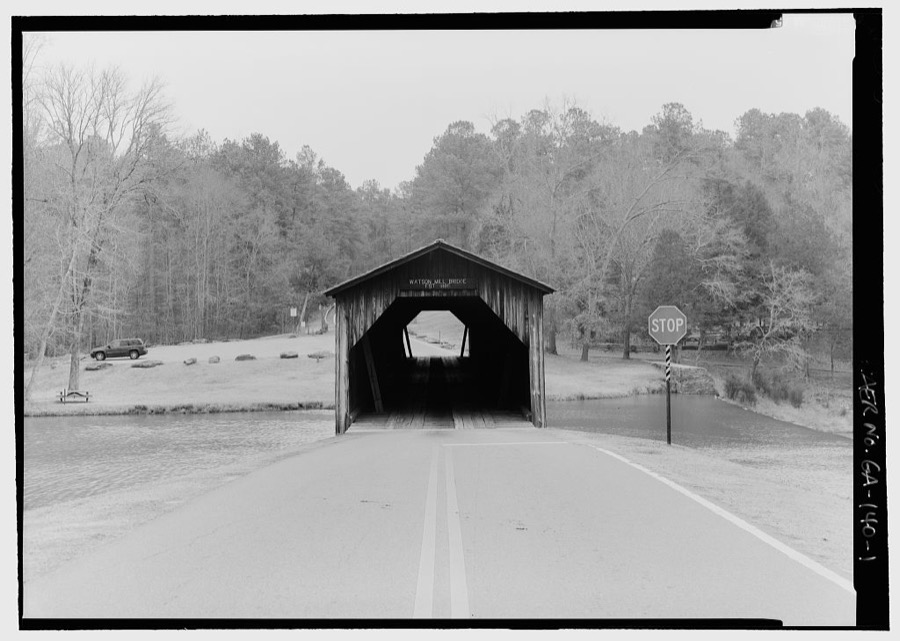
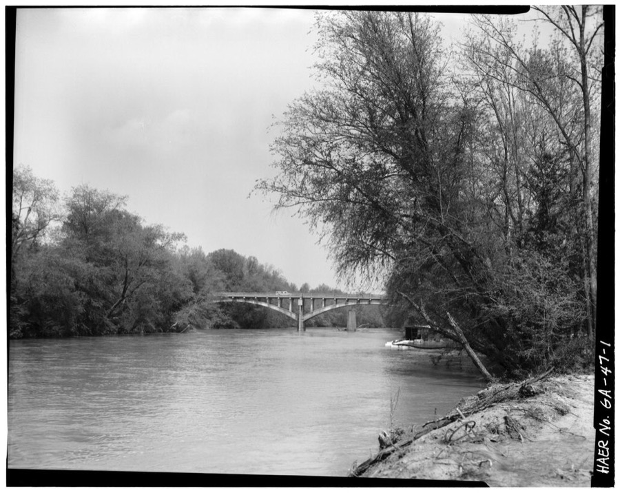
Every property in this county listed on the National Register of Historic Places, with the year it was listed and the federal nomination document.
| Photograph | Property | Type | Listed | Reference |
|---|---|---|---|---|
 | Colbert Historic District | district | 1984 | 84001154 |
| Colbert School | building | 2001 | 01000942 | |
| Comer Historic District | district | 1995 | 95001378 | |
| Crawford W. Long Childhood Home | building | 1977 | 77000438 | |
 | Madison County Courthouse | building | 1980 | 80001114 |
| Paoli Historic District | district | 2002 | 02000094 |
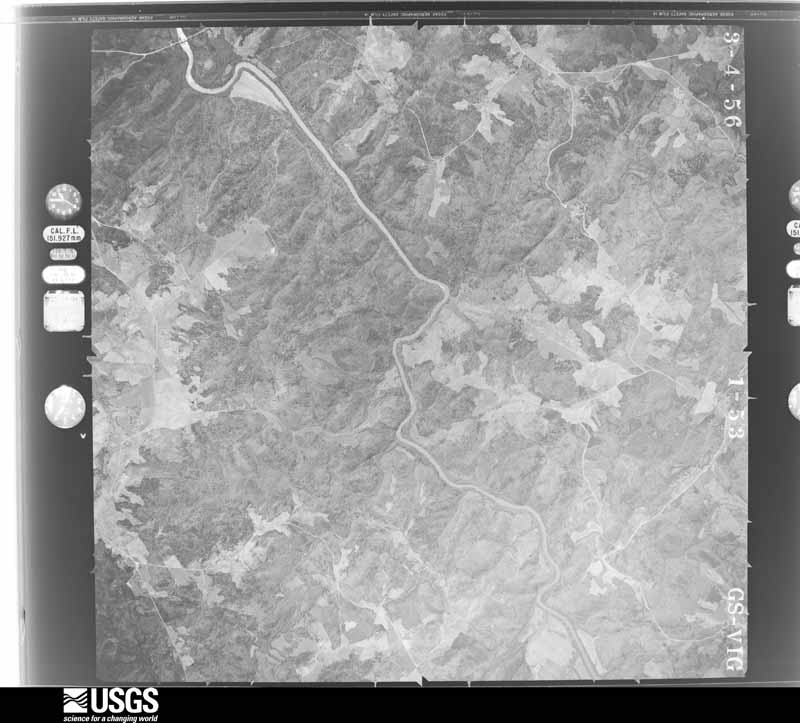
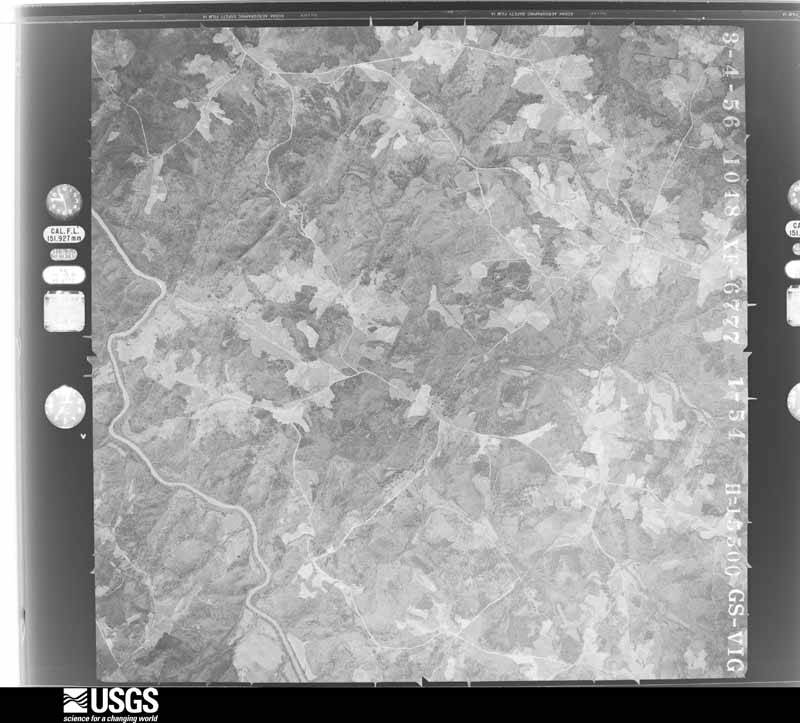
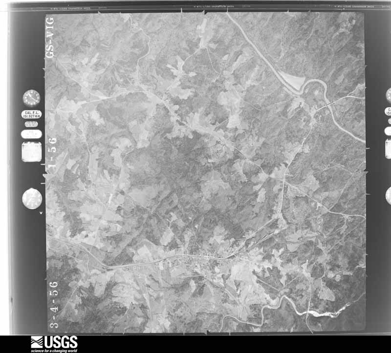
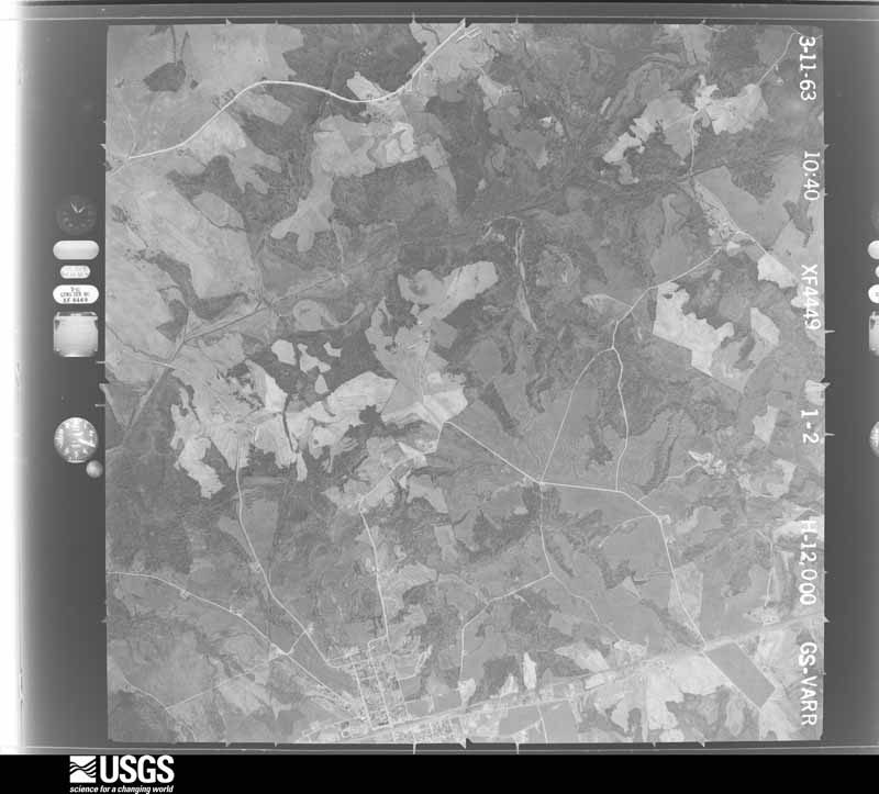
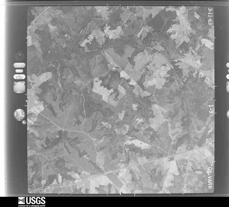
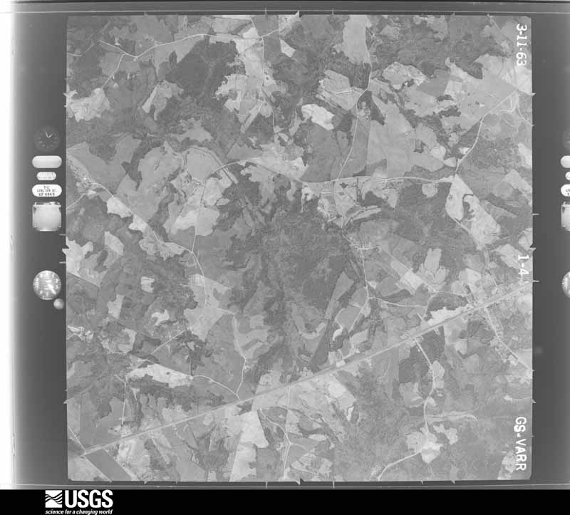
Flown by the U.S. Geological Survey between 1937 and 1989, the Aerial Photo Single Frames collection is the definitive mid-century view of the land: fields, roads and rivers as the camera saw them. The Survey holds 332 frames inside the rectangle that bounds this county; the 16 frames below were taken over the county itself, chosen across the decades of flights (at most four a year from that rectangle), so one flight cannot crowd out the rest. The full set is free to browse and download at EarthExplorer under the dataset Aerial Photo Single Frames.





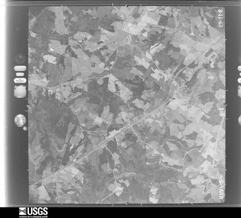


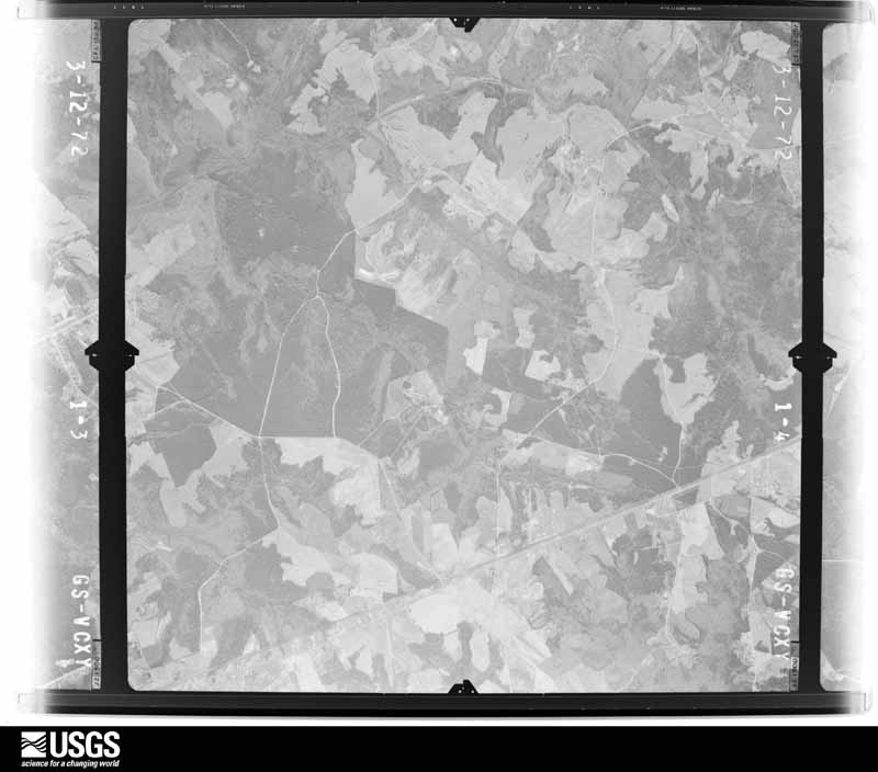

The thermometers that kept this county's weather, and the gages that measured the flow of its streams, as the federal records hold them. The extremes below are measured values from those records, not estimates.
Who lived here in 1950, one enumeration district at a time, as the Census Bureau described each district. Each row opens its official National Archives result, with Population Schedules and ED Maps available there.
Every wildfire the federal occurrence database records inside this county: 765 of them, burning about 1,278 acres. 24 started naturally and 82 were recorded as arson. Each settlement page carries the fires within five miles of it.
| Reported cause | Fires |
|---|---|
| Debris and open burning | 429 |
| Arson/incendiarism | 82 |
| Smoking | 68 |
| Equipment and vehicle use | 58 |
| Missing data/not specified/undetermined | 39 |
| Misuse of fire by a minor | 30 |
| Natural | 24 |
| Railroad operations and maintenance | 19 |
| Recreation and ceremony | 16 |
The five largest, by the area the report gives. None of them was recorded as arson.
| Date | Cause | Size | Reported by | Name on the report |
|---|---|---|---|---|
| 25 February 2017 | Debris and open burning | 28 acres | Georgia Forestry Commission | FY2017-MADISON-012 |
| 1 April 2015 | Debris and open burning | 24 acres | Georgia Forestry Commission | FY2015-MADISON-010 |
| 14 April 1996 | Natural | 22 acres | Georgia Forestry Commission | not named |
| 2 March 1996 | Natural | 18 acres | Georgia Forestry Commission | not named |
| 25 September 2008 | Missing data/not specified/undetermined | 17 acres | Georgia Forestry Commission | not named |
| 25 March 2008 | Debris and open burning | 17 acres | Georgia Forestry Commission | not named |
| 28 January 2006 | Debris and open burning | 17 acres | Georgia Forestry Commission | not named |
| 12 March 2004 | Debris and open burning | 17 acres | Georgia Forestry Commission | not named |
Every settlement page carries the fires within five miles of it - see the settlement index below.
The NOAA Storm Events Database holds 176 reports for this county, causing no deaths, 11 injuries and about $5,174,450 in recorded property damage. Each settlement page carries the reports that name it.
| Kind of event | Reports |
|---|---|
| Thunderstorm Wind | 102 |
| Hail | 53 |
| Tornado | 9 |
| Flash Flood | 5 |
| Funnel Cloud | 3 |
| Lightning | 3 |
| Heavy Rain | 1 |
The most serious of them, by death, then injury, then recorded damage. The accounts are quoted exactly as the forecast office filed them.
| When | Event | Place named | Harm | What the report says |
|---|---|---|---|---|
| March 1954 | Tornado (F2) | not stated | 5 hurt, $250,000 | no account filed |
| May 2003 | Thunderstorm Wind | Danielsville | 5 hurt, $25,000 | The public reported that a large tree fell on their vehicle, injuring the five passengers inside. All injuries were minor. Some power lines were also blown down in the area. |
| April 1990 | Thunderstorm Wind | not stated | 1 hurt | no account filed |
| September 2004 | Tornado (F1) | Colbert | $1,300,000 | A damage assessment conducted by the National Weather Service and the Madison County Emergency Management Director concluded that a 7-mile long path, 150-yard wide, F1 tornado with near 100 mph winds was spawned by the remnants of Tropical Storm Ivan causing major damage to several large homes in a country club, along with extensive damage to trees and power lines along its path. The tornado began just south of Georgia Highway 72, just east of Colbert, near the intersection of Walnut Grove Church Road and Kingston Road and continued moving north-northwest around 40 mph, terminating near the Madison County High School on Georgia Highway 98, just west of Danielsville. The most significant damage occurred along the southern part of the storm's path in the Kingston Road Subdivision/Country Club. Here, around five homes sustained major to extensive damage, while approximately another 20 homes sustained minor to moderate damage. In addition, widespread damage to trees and power lines was observed along the path of the tornado. Damage to the windward side of the roofs on several homes was consistent with a tornado circulation. |
| March 2008 | Hail | Ila | $800,000 | A cooperative observed in Ila reported hail larger than baseballs, namely 3.00 inch diameter hail. Hail the size of baseballs was observed further southeast just west of Danielsville. Radar supported that large hail continued to the southeast part of the county. |
| May 2003 | Tornado (F1) | Danielsville | $500,000 | A storm survey team from the National Weather Service office in Greenville-Spartanburg, South Carolina and the Madison county Emergency Management Director determined that an F1 tornado touched down in extreme northeast Madison county in the city of Harrison and traveled on the ground to the east for 3 miles passing into Elbert county west of Bowman. The tornado ranged from 100 to 200 yards wide. Twenty homes in the area sustained moderate to major damage, two mobile homes were destroyed, two chicken houses were destroyed and a host of other outbuildings were demolished, including a garage and auto shop off Georgia Highway 281, an adjacent pickup truck, a block shop and adjacent fishing boat. Numerous large trees were either uprooted or snapped off along the damage path and a number of power lines were knocked down as well. There were no injuries or deaths reported during the incident. |
| June 1994 | Tornado (F0) | Danielsville | $500,000 | A weak and short-lived tornado touched down along and crossed U.S. Highway 29 near the intersection of Georgia Highway 281 before dissipating. A few large trees lost large limbs and a couple of highway roadside signs were blown down. Three chicken houses were destroyed with a total value of 270 thousand dollars. Also, 60,000 chickens were killed. |
| July 2000 | Thunderstorm Wind | Countywide | $300,000 | The Comer News and the Madison county 911 center reported widespread damage across Madison county. Extensive damage was reported to 3 chicken houses, power lines, and hundreds of trees, some more than 100 years old. The hardest hit areas of the county were the western sections from Cromers, to Shiloh, to Pocataligo, to Ila. The Shiloh area was especially hard hit where countless trees were uprooted and snapped in two. In addition, a steeple was toppled at the Jones Chapel in Shiloh by the strong thunderstorm winds. |
| April 2009 | Hail | Hull | $200,000 | The public observed golf ball-sized hail in the southwest part of the county from a second severe thunderstorm that moved east out of southern Jackson county. |
| April 2009 | Hail | Diamond Hill | $200,000 | The public observed golf ball-sized hail in the southwest part of Madison county. They reported that it hail for up to 12 minutes in this area. |
| July 2005 | Flash Flood | Countywide | $150,000 | The Madison County 911 Center reported flash flooding in several parts of the county. Several roads were washed out, including Danielsville Road in Comer at Georgia Highway 98, Jay Davis Road in the eastern portion of the county, and Peach Orchard Road in the central portion of the county. Repeated rounds of very heavy tropical rain associated with the remnants of tropical storm Cindy tracked across the county starting just before midnight and ending around 7 am EDT. Rainfall averaged four to six inches across much of the county during this period. |
| August 2021 | Tornado (EF1) | Ila | $100,000 | A National Weather Service survey determined that an EF1 tornado with maximum wind speeds of 100 mph and a maximum path width of 150 yards touched down in Madison County in a wooded area east of Rogers Mill Road. The tornado moved northwest crossing Coley Davis Road and Rogers Mill Road snapping and uprooting numerous trees. The tornado snapped an entire grove of pine trees in the area east of Doe Run Road and along Doe Run Road. Continuing to the northwest, the storm crossed Lake Deerfield Road, snapping and uprooting dozens of trees. Along Chandler Farm Road, several homes and barns were struck by falling trees. One home had a large tree through the master bedroom and 2 barns nearby were destroyed. The tornado then crossed Old Ila Road where it flipped a large camper onto its roof and snapped or uprooted several trees. The storm continued moving to the northwest, crossing Highway 106 snapping and uprooting trees. Further to the northwest, crossing Adams Clarke Road, Sunray Hatchery Road and Frank Bird Road, the tornado snapped or uprooted numerous trees. The tornado damaged several homes as it approached Highway 98 west of Ila, including one home with a portion of its roof blown off. Several |outbuildings were damaged and numerous trees were snapped or uprooted. The tornado crossed Highway 98 around Jot-Em Down Road before dissipating near Mountain View Road and Allen Road. [8/17/21: Tornado #6, County #1/1, EF-1, Madison, 2021:020]. |
| June 1998 | Thunderstorm Wind | Danielsville | $100,000 | Severe thunderstorm winds caused damage across Madison county. Many trees were blown down. One fell onto a warehouse in Diamond Hill causing damage. A large oak tree fell onto a trailer in the Newtown community and destroyed it. Several chicken houses in the Newtown community were destroyed or damaged. The Danielsville sheriff's office reported power lines down. |
| June 2014 | Flash Flood | Berryman Mill | $60,000 | The Madison County Emergency Manager reported flash flooding around 10 miles northeast of Danielsville. Heavy rain of 4 to 7 inches in the Mill Shoal Creek basin caused erosion damage to several roads and culvert pipes. The worst damage was a washed out concrete culvert on Reed-Brawner Road. |
| August 2023 | Thunderstorm Wind | Transco | $50,000 | Roof damage to home along Davids Church Road. Around 40 trees down on roads across north side of the county. |
| March 2011 | Thunderstorm Wind | Berryman Mill | $50,000 | The Madison County 911 Center reported that a tin roof was blown off a church on Shirley Road just south of the Franklin county line and the city of Royston. Some two-by-fours were also torn off the same building. Three trees were down on Shirley Road and Doug Drake Road. One large pine tree fell on a home causing damage to its roof. A couple of telephone lines were down along Shirley Road as well. |
| June 2009 | Lightning | Porterfield | $50,000 | The Madison County Journal reported that lightning struck and killed an 8-year old quarter horse at a private residence on Fred Goss Road, just southeast of Danielsville. On Rogers Church Road, just northwest of Danielsville, a home was struck by lightning, which set an inside wire on fall. Damage was minimal as the fire was quickly extinguished by firefighters. |
| March 2008 | Thunderstorm Wind | Ila | $50,000 | The Madison County Emergency Management Director reported that at least six trees were down along Georgia Highway 106 north of Ila to the Banks county line. A chicken house in Shiloh was damaged when a portion of the tin was blown off and the New Hope church on Georgia Highway 281 in Harrison sustained some roof damage. |
| June 2006 | Thunderstorm Wind | Diamond Hill | $50,000 | The Madison County 911 Center reported that an apparent microburst or downburst resulted in considerable damage along Planter-Gunnel Road and Jeff Davis Road in the southwest part of the county near Neese and Diamond Hill. On Planter-Gunnel Road, a portion of the back of a home was blown off. On Jeff Davis Road, the roof was blown off a barn and a tree was blown down onto a car. At other locations, large tree limbs were reported down. Pea-sized hail was also observed in the area. |
| September 2004 | Tornado (F0) | Paoli | $50,000 | A damage assessment conducted by the National Weather Service and the Madison County Emergency Management Director concluded that a short-lived, F0 tornado, associated with the remnants of Hurricane Ivan, touched down near Paoli at the intersection of New Hope Church Road and Paoli New Towns Road and travelled north-northwest at 40 mph along a one-mile long broken path treminating near Collins Brooks Road. One barn was completely destroyed along the path and several homes sustained minor structural damage. Numerous trees were topped along the path of the tornado. |
| June 2007 | Thunderstorm Wind | Ila | $25,000 | The Madison County 911 Center reported that a couple of chicken houses were damaged along Macedonia Church Road from an apparent thunderstorm downburst or microburst. |
| September 2003 | Thunderstorm Wind | Ila | $25,000 | The National Weather Service cooperative observer for Madison county reported that straight line thunderstorm wind gusts caused extensive damage to trees in the area. Hundreds of trees were either uprooted or broken off, with extensive debris in the streets in and around Ila. Several small structures in the area also sustained wind damage, mainly in the form of damage to roofs. Pea-sized hail was also reported in the area. |
| July 1999 | Flash Flood | Colbert | $25,000 | A newspaper reported that heavy rain caused the roof at the Comer Medical Clinic to collapse. Basements of homes were flooded in the Colbert area. A culvert was washed out on the Shoal Creek Road. Around 4 inches of rain fell during the afternoon, causing the damage. |
| April 1980 | Tornado (F1) | not stated | $25,000 | no account filed |
| November 1968 | Tornado (F1) | not stated | $25,000 | no account filed |
| July 1995 | Thunderstorm Wind | Hull | $20,000 | Thunderstorm winds blew several trees on some houses. |
| May 1996 | Hail | Pocataligo | $20,000 | no account filed |
| February 1997 | Thunderstorm Wind | Danielsville | $17,500 | no account filed |
| June 2023 | Thunderstorm Wind | Danielsville | $15,000 | Emergency Manager reported 15 trees down across Madison county with the highest concentration in north Danielsville. |
| July 1997 | Thunderstorm Wind | Comer | $15,000 | Thunderstorm winds knocked over two tin chicken houses. A nearby barn also suffered roof damage. 37,000 baby chicks were left homeless. |
| April 2017 | Thunderstorm Wind | Diamond Rock | $12,000 | The Madison County Emergency Manager reported numerous trees and power lines blown down across the county. |
| July 2000 | Lightning | Danielsville | $10,000 | The Madisonian Newspaper reported that 15 dairy cows were killed by lightning at the Strange dairy farm near Buckhead Road. |
| June 2025 | Thunderstorm Wind | Planter | $7,000 | Numerous trees snapped or downed along hwy 106 near the intersection of Nowhere Rad. |
| May 2011 | Thunderstorm Wind | Neese | $7,000 | A CoCoRaHS observer reported that several trees were down across the county, but especially in the Comer area. In addition, minor damage was reported to the tin roof of a barn in Comer. |
| June 2009 | Thunderstorm Wind | Phillips | $7,000 | The Madison County 911 Center reported that many trees and and power lines were down across the county. |
| July 2017 | Thunderstorm Wind | Diamond Hill | $6,000 | The Madison County 911 center reported trees blown down from near Moons Grove Church Road at Johnnie Chandler Road, and Colbert Grove Church Road at Highway 29. These locations are just southwest of Danielsville. |
| August 2015 | Thunderstorm Wind | Velpoe | $6,000 | The Madison County 911 Center reported at least 5 trees blown down in the Danielsville area, including on Friendship Church Road and on U.S. Highway 29. |
| July 2023 | Thunderstorm Wind | Cedar Grove | $5,000 | Multiple trees reported down near hwy 172 and Lystra Church Rd. |
| September 2018 | Thunderstorm Wind | Cedar Grove | $5,000 | The Madison County 911 center reported a few trees blow down from east of Danielsville to Carlton. |
| September 2016 | Thunderstorm Wind | Velpoe | $5,000 | The Madison County 911 center reported several trees blown down across the Danielsville area. |
| June 2013 | Thunderstorm Wind | Hix | $5,000 | The Madison County 911 Center reported that around a dozen trees were down across the county. Several of these trees brought down power lines as well. |
| February 2011 | Thunderstorm Wind | Pocataligo | $5,000 | The Madison County 911 Center reported that more than a dozen trees and at least three power lines were down throughout the county. |
| April 2011 | Thunderstorm Wind | Pocataligo | $5,000 | The Madison County 911 Center reported that more than a dozen trees and power lines were down across the county, but especially the northern half. |
| September 2009 | Flash Flood | Sanford | $5,000 | The Madison County Emergency Management Director reported flash flooding in some parts of the county. One road was closed because of flooding. An assisted living facility for senior citizens along the Broad River was threatened from flood waters as the Broad River rose to just below two feet of the base of the structure. However, no evacuations were necessary and the facility did not suffer any flood damage. A road in a historical park just south of Comer was also flooded and closed during the height of the flooding as a creek in the park exceeded bankfull. Monetary damage was limited to minor debris removal. |
| March 2008 | Thunderstorm Wind | Hull | $5,000 | The public reported that a roof was blown off a barn just south of Diamond Hill near the Clark county line. |
| May 2006 | Thunderstorm Wind | Danielsville | $5,000 | The Madison County 911 Center reported that several trees were blown down, including some on power lines along U.S. Highway 29 northeast of Danielsville and also in Danielsville itself. |
| August 2005 | Flash Flood | Countywide | $5,000 | The Madison County 911 Center reported that several inches of rain during the afternoon had caused a number of creeks to exceed their banks, flooding several roads. Rainfall of three to five inches had fallen across much of the county during the mid-afternoon hours, especially in the southern sections of the county. No roads were washed out and damage to roads was limited to debris removal. |
| May 2002 | Thunderstorm Wind | Danielsville | $5,000 | The Madison county 911 center reported that numerous trees were down in the city along with some power lines. |
| June 1999 | Thunderstorm Wind | Danielsville | $5,000 | Reports from the sheriff, the public, and a spotter indicated thunderstorm winds knocked down trees and power lines. |
| June 1998 | Thunderstorm Wind | Countywide | $5,000 | The public reported trees down and power outages throughout the county. |
| November 2016 | Thunderstorm Wind | Colbert | $4,000 | The Madison County 911 center reported 4 trees blown down between Colbert and Carlton across the southern portion of the county. |
| August 2011 | Thunderstorm Wind | Comer | $4,000 | The Madison County Emergency Management Director reported that at least seven trees were down across the eastern part of the county. One tree was down on a power line near Carlton. Two trees were down across Georgia Highway 191 east of Danielsville, two more trees were down across Georgia Highway 98 east of Danielsville, and two more trees were down across Georgia Highway 172, just north of Paoli. Pea-sized hail was also observed with this thunderstorm. |
| December 2009 | Thunderstorm Wind | Hull | $4,000 | The Madison County 911 Center reported that at least five large trees and a few power lines were down in the southern part of the county. |
| June 2025 | Thunderstorm Wind | Diamond Rock | $3,000 | Portions of Lem Edwards Road impassable due to multiple trees and or powerlines down in and along the roadway. |
| August 2018 | Thunderstorm Wind | Ft Lamar | $3,000 | The Madison County Emergency Manager reported a couple of power lines blown down east of Fort Lamar. |
| July 2004 | Thunderstorm Wind | Danielsville | $3,000 | The public reported that two power poles were snapped and three trees were blown down. |
| February 2001 | Thunderstorm Wind | Colbert | $3,000 | The Madison county 911 center reported that two trees were blown down across Georgia Highway 72 between Hull and Colbert. In addition, some road construction barrels were also blown over in the same area. |
| March 2013 | Thunderstorm Wind | Jeptha | $2,500 | The Madison County 911 Center reported that numerous trees had blown down east of Danielsville. |
| November 2025 | Thunderstorm Wind | James Spring | $2,000 | Two large trees down along highway 174 in northern madison county near the town of shiloh. |
| August 2007 | Thunderstorm Wind | Comer | $2,000 | The Madison County 911 Center reported that eight trees were blown down in the Comer area. |
The Survey's mineral resources record lists 10 workings inside this county. 2 still produce and 8 are closed or unrecorded. Each settlement page carries the workings within five miles of it.
| Commodity | Workings |
|---|---|
| Gold | 8 |
| Granite | 2 |
The least common of them first, because a county's hundredth gravel pit says nothing its first ten did not.
| Where | Site | Commodity | Status | Recorded |
|---|---|---|---|---|
| Berkeley Quarry | Granite | Producer | ||
| Royalty Blue Quarry | Granite | Producer | ||
| Carrington Placer | Gold | Prospect | Placer | |
| J. Threlkeld Placer | Gold | Prospect | Placer | |
| King Placer | Gold | Prospect | Placer | |
| O. Threlkeld Placer | Gold | Prospect | Placer | |
| Parham Placer | Gold | Prospect | Placer | |
| Ridgeway Placer | Gold | Past Producer | Stream Placer | |
| Smith Placer | Gold | Past Producer | Stream Placer | |
| Webb Placer | Gold | Prospect | Placer |
Named settlements recorded in the Geographic Names Information System, each with the topographic sheets covering it. Villages, hamlets and abandoned places alike. Each is shown with the nearest named watercourse or landform and the survey quadrangle it falls on.
Danielsville census division · 30633 · On Ward Branch · Danielsville North quadrangle
15 sheets, 1891 to 1979
Broad River census division · 30633 · On Hanna Creek · Danielsville North quadrangle
15 sheets, 1891 to 1979
Danielsville census division · 30629 · On Cedar Grove Branch · Danielsville North quadrangle
15 sheets, 1891 to 1979
Comer census division · 30629 · On Beaverdam Creek · Danielsville South quadrangle
14 sheets, 1891 to 1979
Danielsville census division · 30633 · On Cedar Grove Branch · Danielsville North quadrangle
15 sheets, 1891 to 1979
Danielsville census division · 30633 · Danielsville South quadrangle
14 sheets, 1891 to 1979
Colbert census division · 30628 · On South Creek · Hull quadrangle
14 sheets, 1891 to 1979
Colbert census division · 30646 · On South Creek · Hull quadrangle
14 sheets, 1891 to 1979
No longer a settlement
Colbert census division · 30646 · On South Creek · Hull quadrangle
14 sheets, 1891 to 1979
No longer a settlement
Comer census division · 30629 · Danielsville South quadrangle
14 sheets, 1891 to 1979
Broad River census division · 30633 · On Hog Branch · Danielsville North quadrangle
15 sheets, 1891 to 1979
No longer a settlement
Comer census division · 30629 · On Little Scull Shoal Creek · Bowman quadrangle
14 sheets, 1891 to 1979
Broad River census division · 30633 · On Shiloh Creek · Danielsville North quadrangle
15 sheets, 1891 to 1979
Broad River census division · 30633 · On Hanna Creek · Danielsville North quadrangle
15 sheets, 1891 to 1979
Danielsville census division · 30629 · Danielsville South quadrangle
14 sheets, 1891 to 1979
Colbert census division · 30646 · On Nowhere Branch · Hull quadrangle
14 sheets, 1891 to 1979
Danielsville census division · 30629 · On Cedar Grove Branch · Danielsville North quadrangle
15 sheets, 1891 to 1979
Danielsville census division · 30633 · On Fortson Branch · Danielsville North quadrangle
15 sheets, 1891 to 1979
The vanished settlements of Madison County: the places named above that are no longer on the map.
The complete index, with nothing left out. Each of these is a separate record with its own page: a federal survey report, or the case file that argued a property on to the National Register. Both are public domain and reproduced word for word.
The vanished settlements of Madison County, the places these records name that are no longer on the map.