 Block
From the record
10 National Register listings published here.
Sources: the National Register database, National Park Service
58 topographic sheets and 7 fire insurance atlases across 1 place.
10 National Register listings published here.
Sources: the National Register database, National Park Service
Taken for the Office of War Information and the Farm Security Administration, who photographed the country between 1935 and 1944. Works of United States government photographers, with no known restriction on use. Each opens its catalogue record.
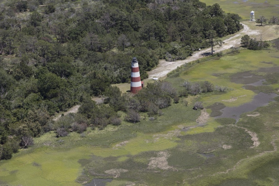
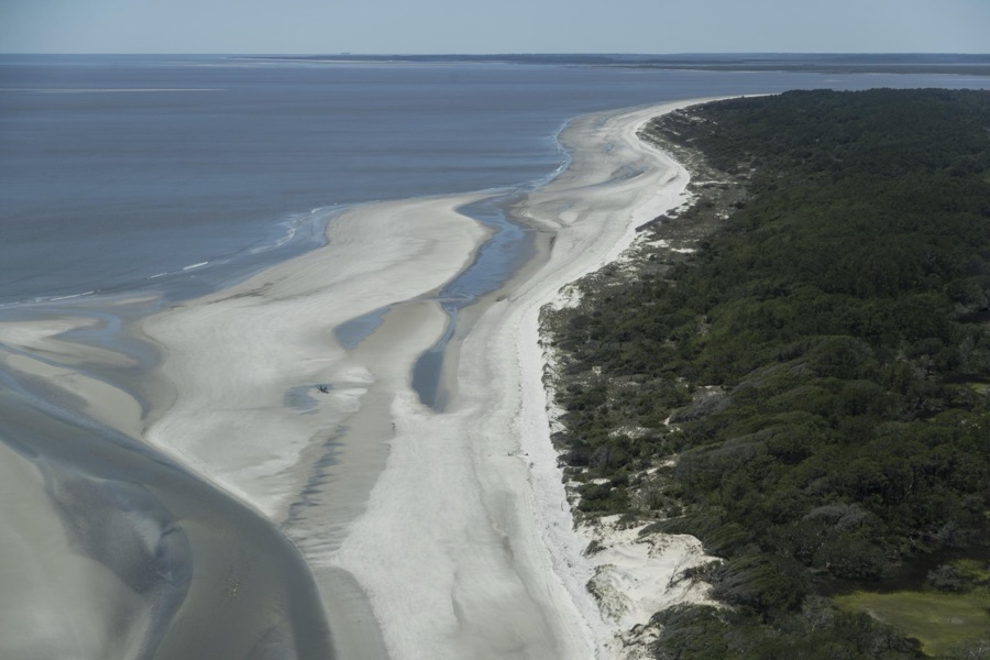
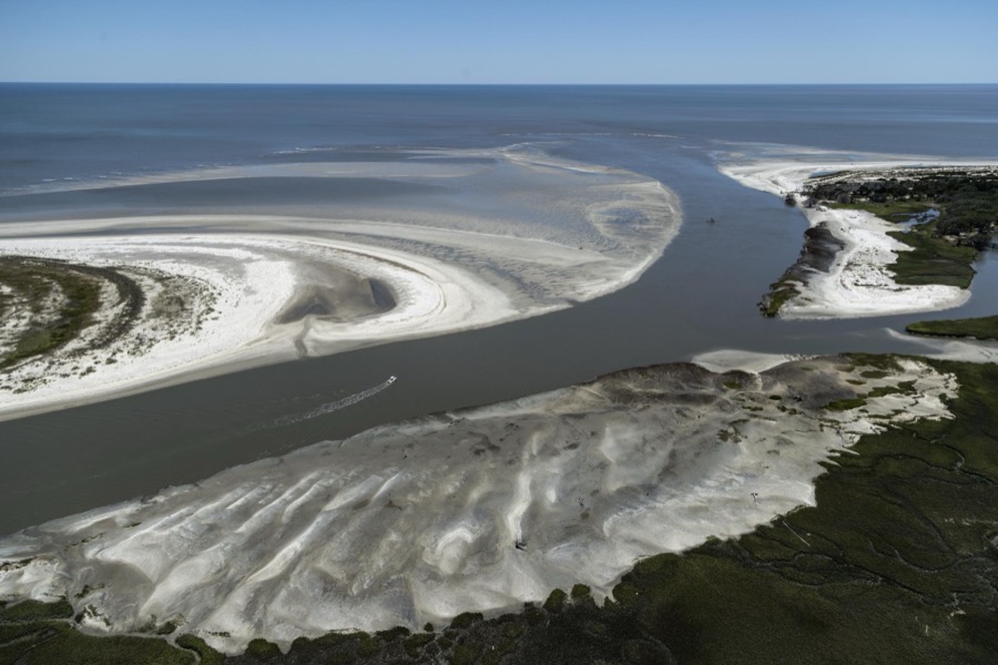
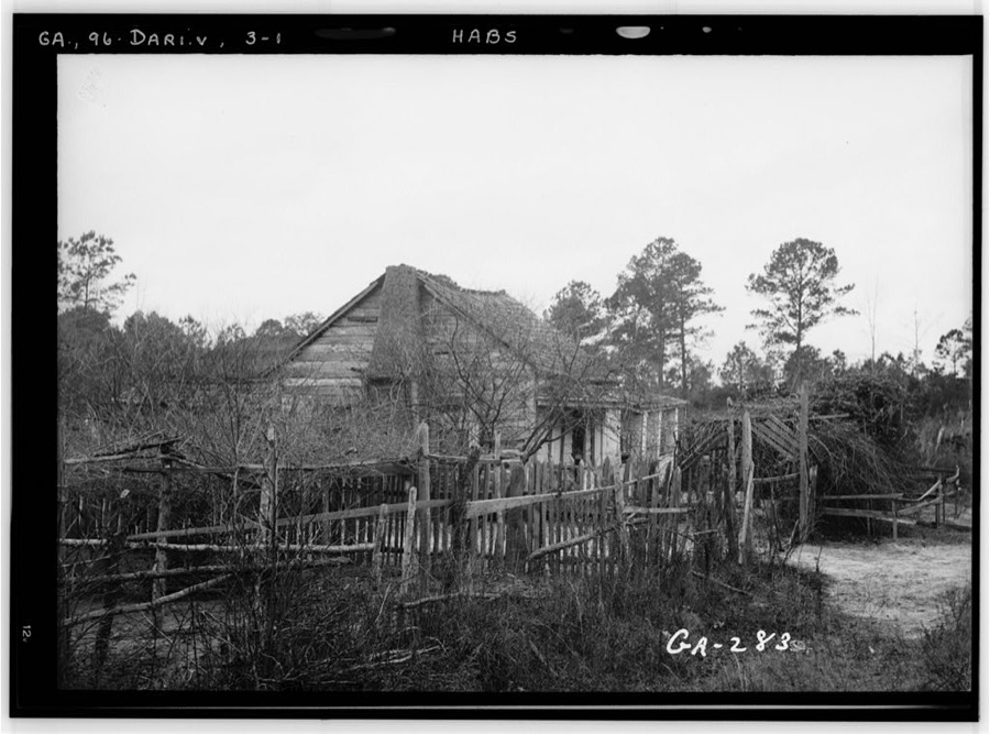
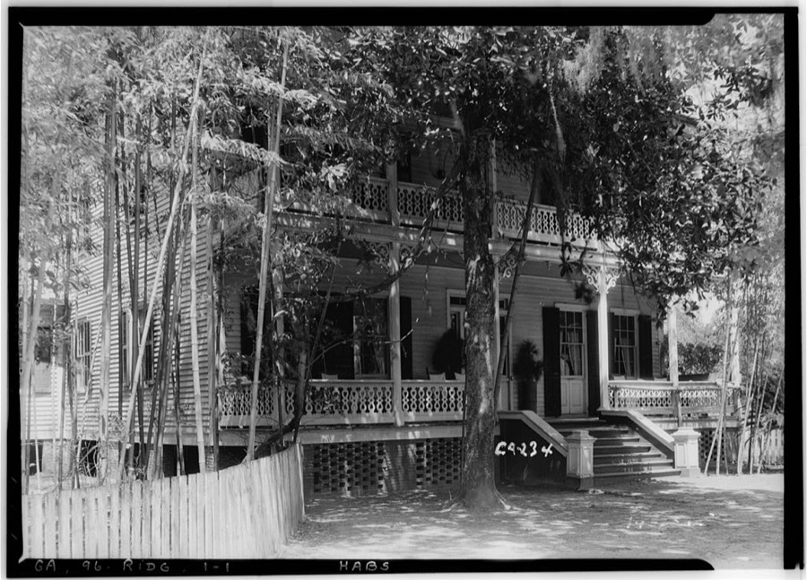
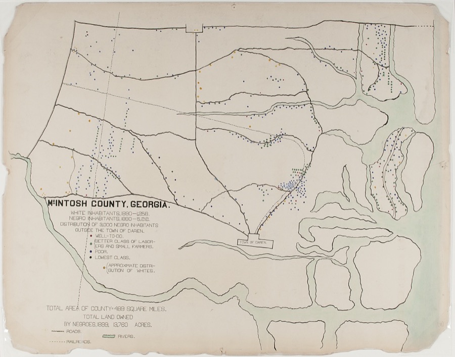
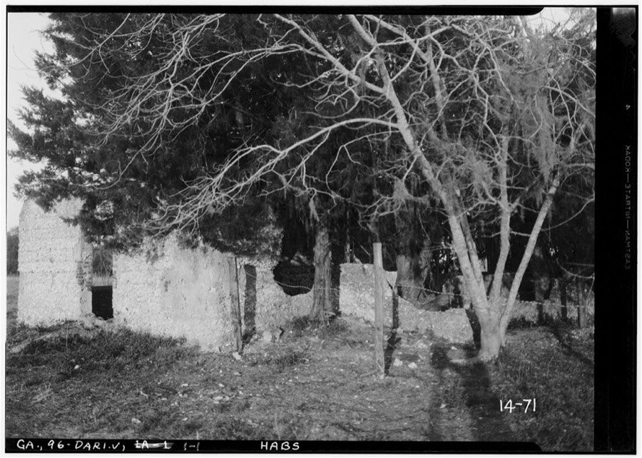
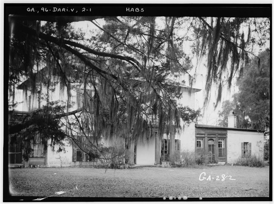
Every property in this county listed on the National Register of Historic Places, with the year it was listed and the federal nomination document.
| Photograph | Property | Type | Listed | Reference |
|---|---|---|---|---|
 | Ashantilly | building | 2015 | 15000103 |
| Behavior Cemetery | site | 1996 | 96000915 | |
| First African Baptist Church at Raccoon Bluff | building | 1996 | 96000916 | |
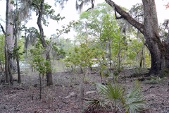 | Fort Barrington | site | 1972 | 72001447 |
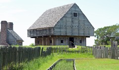 | Fort King George | site | 1971 | 71001101 |
| Hog Hammock Historic District | district | 1996 | 96000917 | |
 | Ridge, The | district | 1985 | 85000863 |
 | Sapelo Island Lighthouse | district | 1997 | 97000335 |
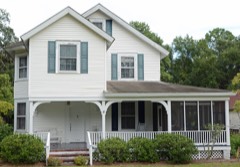 | Vernon Square-Columbus Square Historic District | district | 1985 | 85000581 |
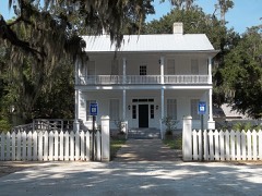 | West Darien Historic District | district | 2001 | 01000975 |
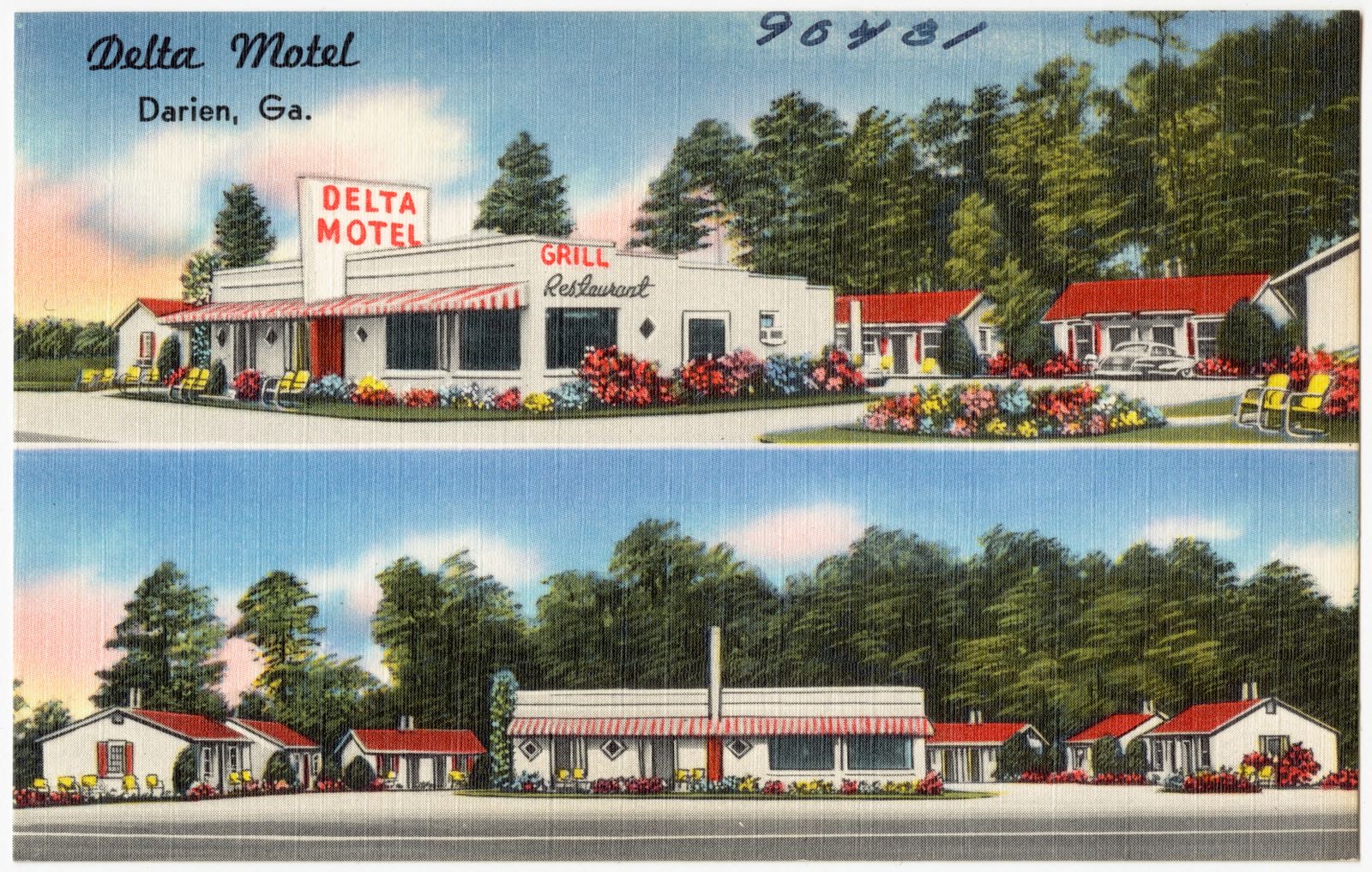
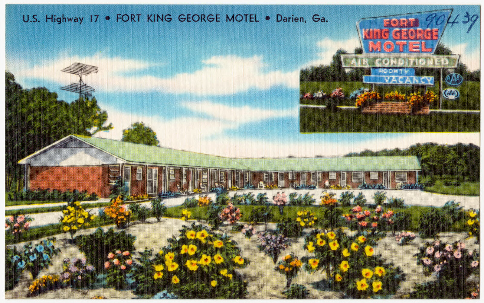
Selected from the Digital Public Library of America's 2 image records catalogued for this county. Every one shown here carries a public-domain status or a licence that permits reuse on a site that carries advertising; non-commercial, share-alike and restricted images are excluded. The selection is spread across the county's towns (at most eight per town), so no single institution's bulk upload crowds out the rest. Each opens the holding library's record, and the complete set at the Digital Public Library of America is one click away.
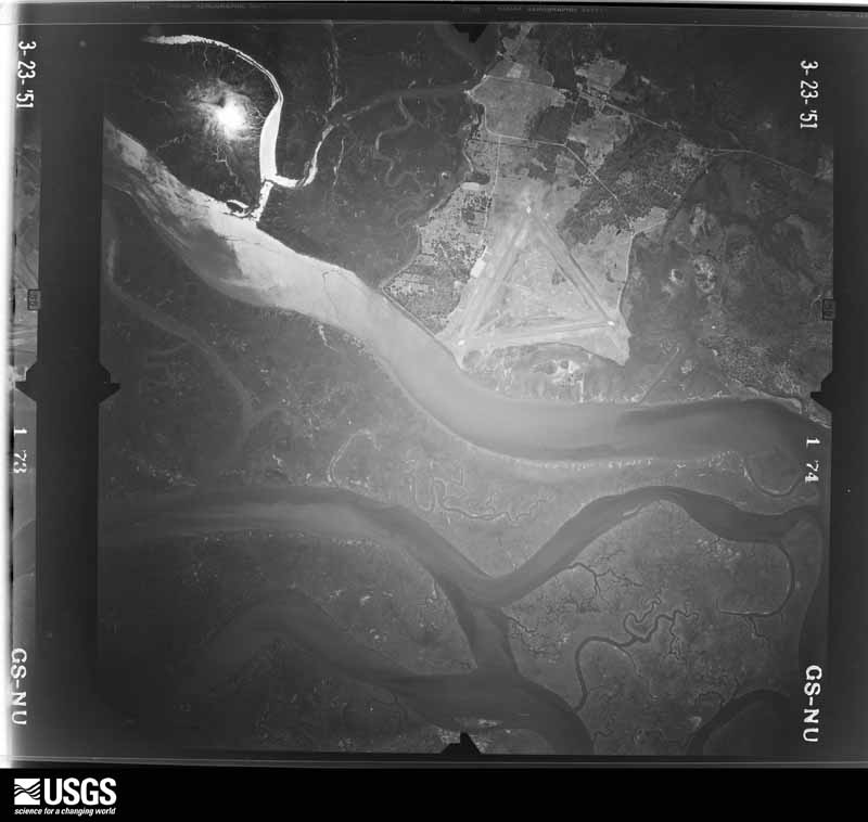
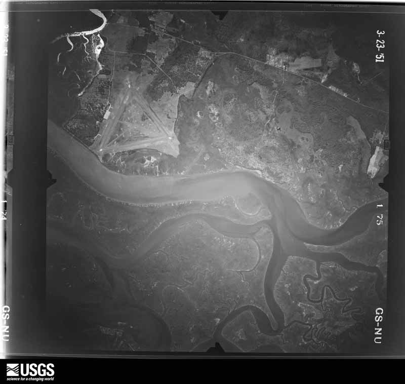
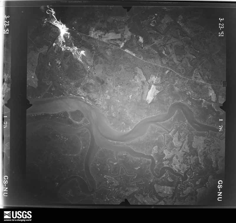
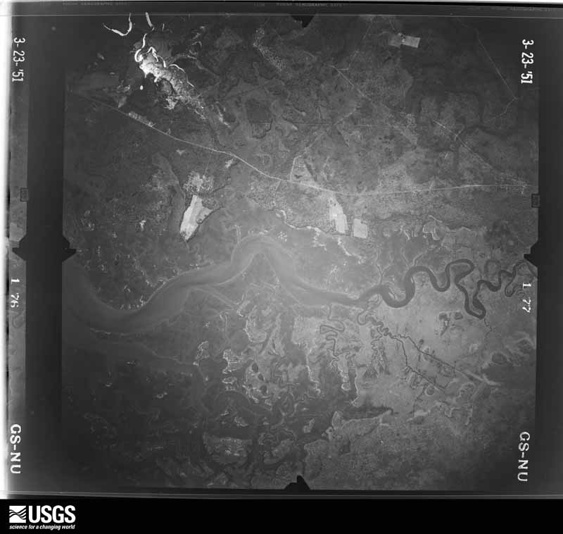
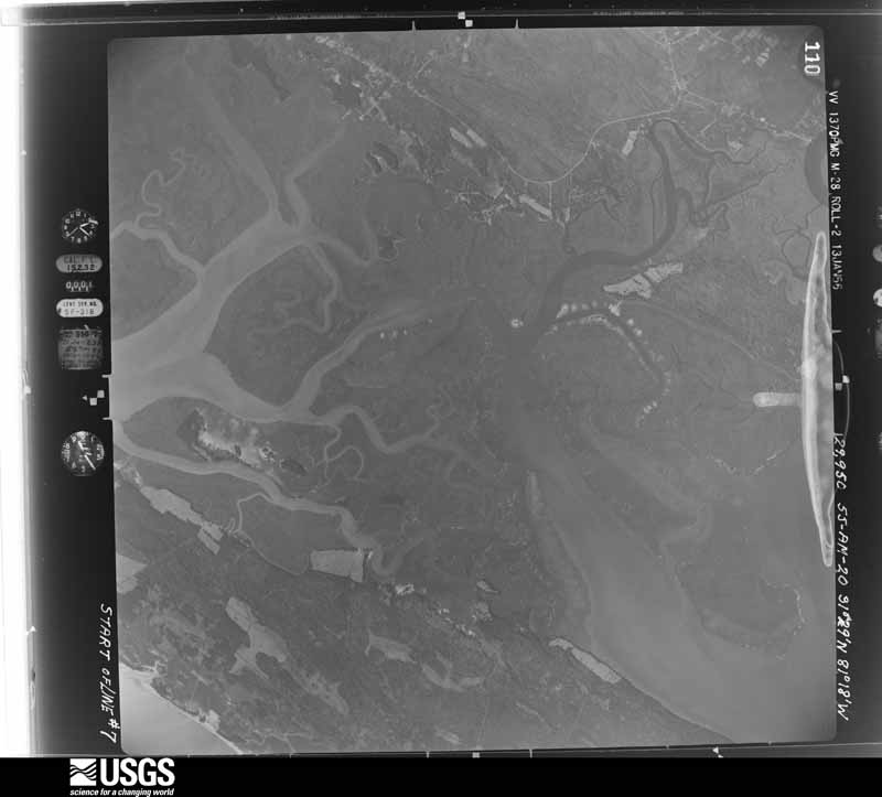
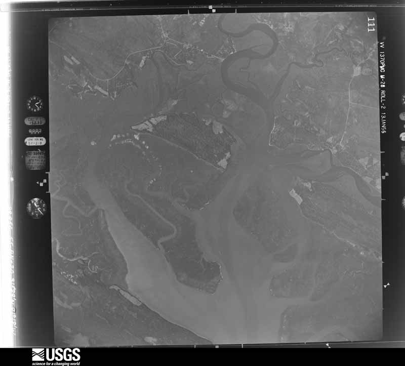
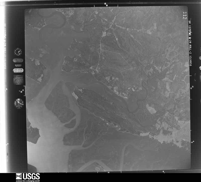
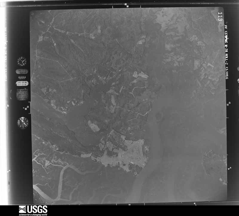
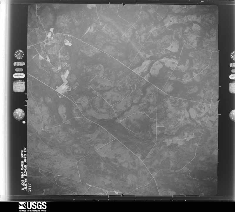
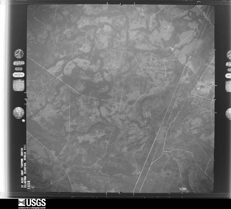
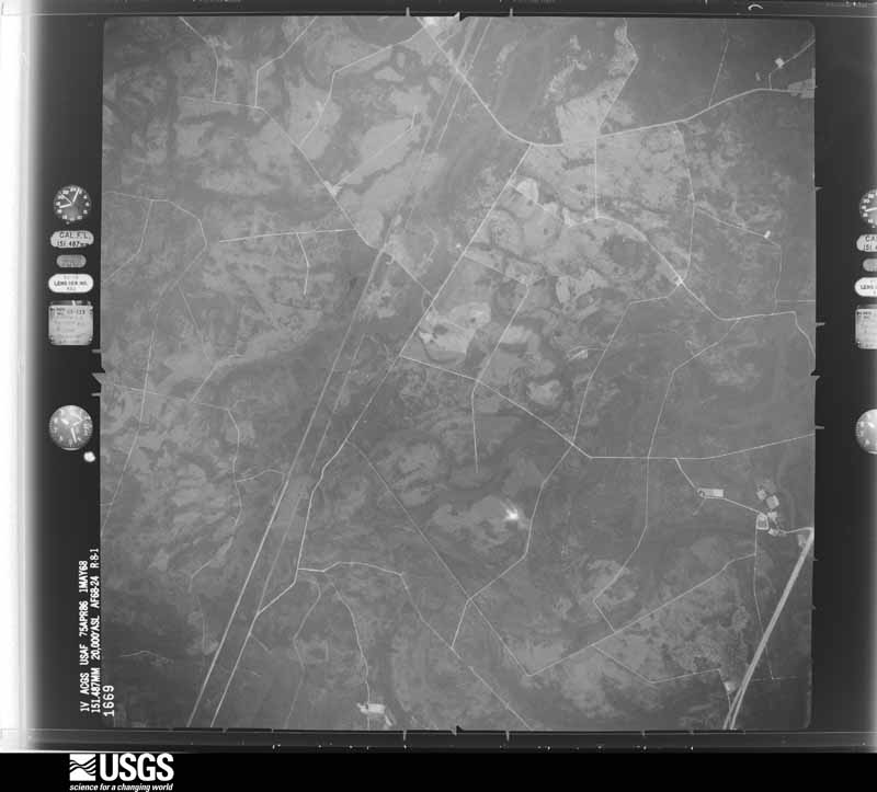
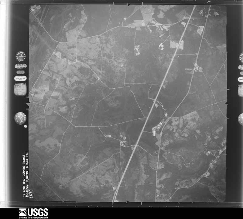
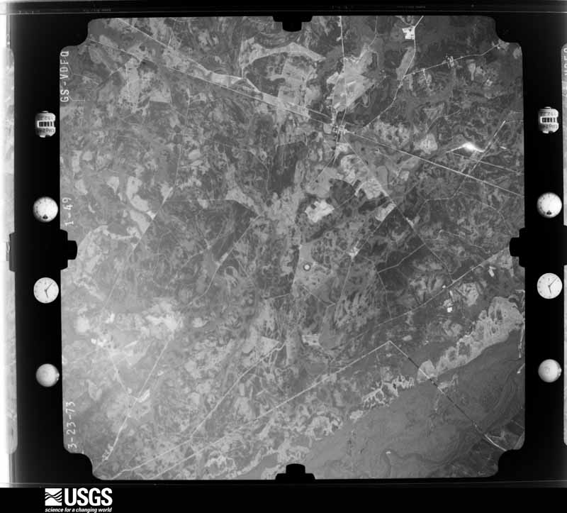
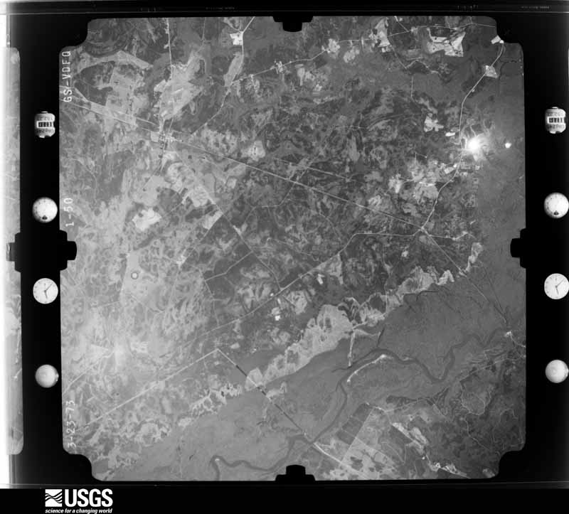
Flown by the U.S. Geological Survey between 1937 and 1989, the Aerial Photo Single Frames collection is the definitive mid-century view of the land: fields, roads and rivers as the camera saw them. The Survey holds 1,356 frames inside the rectangle that bounds this county; the 35 frames below were taken over the county itself, chosen across the decades of flights (at most four a year from that rectangle), so one flight cannot crowd out the rest. The full set is free to browse and download at EarthExplorer under the dataset Aerial Photo Single Frames.
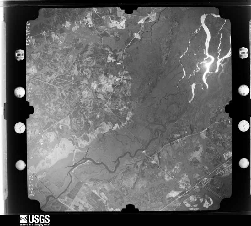
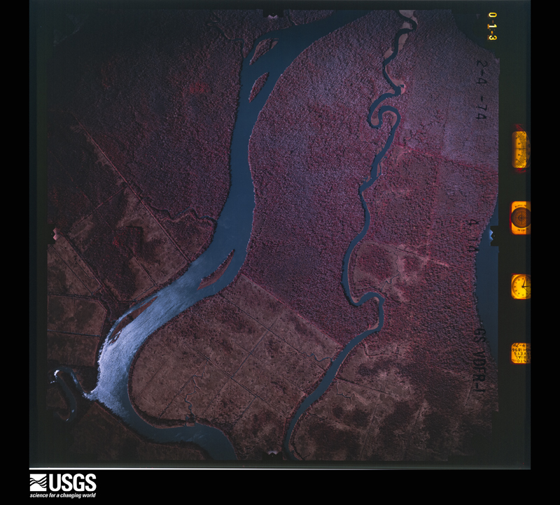






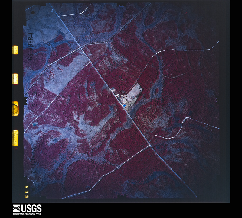












The thermometers that kept this county's weather, as the federal records hold them. The extremes below are measured values from those records, not estimates.
Who lived here in 1950, one enumeration district at a time, as the Census Bureau described each district. Each row opens its official National Archives result, with Population Schedules and ED Maps available there.
Every wildfire the federal occurrence database records inside this county: 1,779 of them, burning about 19,557 acres. 95 started naturally and 886 were recorded as arson. Each settlement page carries the fires within five miles of it.
| Reported cause | Fires |
|---|---|
| Arson/incendiarism | 886 |
| Debris and open burning | 565 |
| Natural | 95 |
| Equipment and vehicle use | 85 |
| Missing data/not specified/undetermined | 66 |
| Misuse of fire by a minor | 35 |
| Smoking | 26 |
| Recreation and ceremony | 19 |
| Railroad operations and maintenance | 1 |
| Power generation/transmission/distribution | 1 |
The five largest, by the area the report gives. Three of them were set deliberately.
| Date | Cause | Size | Reported by | Name on the report |
|---|---|---|---|---|
| 19 May 2001 | Missing data/not specified/undetermined | 3,500 acres | Georgia Forestry Commission | BLOUT PASTURE |
| 11 May 2001 | Natural | 3,482 acres | Georgia Forestry Commission | FY2001-MCINTOSH-095 |
| 22 July 1998 | Natural | 1,080 acres | Georgia Forestry Commission | not named |
| 13 March 2011 | Arson/incendiarism | 963 acres | Georgia Forestry Commission | FY2011-MCINTOSH-036 |
| 20 August 2010 | Natural | 651 acres | Georgia Forestry Commission | FY2011-MCINTOSH-002 |
| 4 April 2004 | Arson/incendiarism | 519 acres | Georgia Forestry Commission | not named |
| 4 April 2004 | Arson/incendiarism | 378 acres | Georgia Forestry Commission | not named |
| 22 July 2015 | Natural | 337 acres | Blackbeard Island National Wildlife Refuge | BUCKWHEAT |
Every settlement page carries the fires within five miles of it - see the settlement index below.
The NOAA Storm Events Database holds 211 reports for this county, causing no deaths, 15 injuries and about $12,906,830 in recorded property damage. Each settlement page carries the reports that name it.
| Kind of event | Reports |
|---|---|
| Thunderstorm Wind | 136 |
| Hail | 57 |
| Tornado | 7 |
| Flash Flood | 6 |
| Funnel Cloud | 3 |
| Lightning | 2 |
The most serious of them, by death, then injury, then recorded damage. The accounts are quoted exactly as the forecast office filed them.
| When | Event | Place named | Harm | What the report says |
|---|---|---|---|---|
| May 2008 | Tornado (EF4) | Darien Eden Fld | 9 hurt, $12,500,000 | A survey team from the National Weather Service Office in Charleston, South Carolina along with other damage survey experts from across the country determined that the Tornado that struck McIntosh county Georgia on Sunday morning May 11, was a violent EF-4. The Tornado beginning and end times are based on radar data combined with credible ground truth reports. ||The Tornado formed at 952 am, approximately 3 miles northwest of Darien, Georgia and tracked east about 11 miles before dissipating at 1007 am as a water spout in Doboy Sound. ||The Tornado formed in a wooded area about a half mile west of Route 251 where numerous trees were snapped off. The Tornado strengthened rapidly as it approached and moved across Route 251.||The Tornado struck a Marine Sales and Services Business located on the east side of Route 251. The bolts for all but one of the anchored metal support beams for the metal building were snapped off just above the concrete slab. With the exception of the one metal support beam that was bent to the ground, the slab was wiped clean. Approximately 50 boats were tossed around and destroyed, with one 18 foot 4000 pound boast carried about 650 yards into some trees. A 32 foot 8000 pound boat was carried about 130 yards onto the top of the Gateway Behavioral Services Building. A vehicle that was parked in the parking lot was carried in the air 150 yards. One 125 horsepower boat motor weighing 300 to 350 pounds was carried 250 yards and deposited into the roof of a building. In addition, one of the boats had yet to be accounted for at the time the survey was conducted. Several other vehicles near the business were rolled or tossed and severely damaged or destroyed. No one was in the building at the time the Tornado struck and damage to the building and all the boats were estimated to be 5 million dollars.||Approximately 100 yards to the south-southeast of the Marine Sales and Services Building, the McIntosh Emergency Medical Services Building was destroyed by the Tornado with damage to three ambulances and one fire truck. Many of the metal support beams from this facility were torn from the concrete slab or snapped off. This building was rated for 120 mph winds. No one was in this building at the time of the Tornado because they were out on a non weather related call.||The Gateway Behavioral Health and Services Building was totally destroyed. This metal framed building with brick exterior was located about 100 yards east-northeast of the McIntosh Emergency Medical Services Building and 130 yards east-southeast of the Marine Sales and Services Building. The roof of the Gateway Building collapsed along with many of the outer brick walls. Many of the large load bearing metal beams were bent or knocked down. Portions of the metal roof were carried a mile away onto Interstate 95. Some of the roofing material was found 11 miles away on Sapelo Island. Of the 12 people that were in the building when the Tornado hit, 9 were injured sustaining broken bones and or lacerations. Six vehicles around this building were damaged or destroyed and a metal light pole and several trees were snapped off in this area. ||Two other businesses in this area suffered damage including damage to satellite dishes and two overturned tractor trailers. Damage to the Marine Sales and Services Business and the Gateway Behavioral Health and Services Building indicated that EF-4 damage had occurred with winds estimated to be between 170 and 180 mph. ||After leaving this area the Tornado traveled east and weakened. The Tornado reached its maximum width of 700 yards as it crossed Interstate 95, and then decreased in size and was mainly from 200 to 500 yards wide during the remainder of the path. The Tornado damaged or destroyed four billboards along Interstate 95, produced mainly minor roof damage to several dozen homes mainly in the Ridgeville area, snapped off or uprooted thousands of trees, some of them falling on homes or vehicles, and damaged or destroyed numerous outbuildings. ||A resident of Ridgeville, Georgia whose home suffered minor damage in the Tornado, took shelter in a closet after seeing a National Weather Service Severe Weather Statement on the television mentioning that Ridgeville was in the path of the Tornado. ||The Tornado also damaged the Blue-N-Hall Marina and Fishing Dock. In this area, a large boat hoist along with 18 boats and several boat trailers were damaged or destroyed. Several power poles were also snapped off and several vehicles were damaged. Numerous trees were also snapped off on Hird Island. The Tornado likely dissipated over Doboy Sound as a waterspout. Besides portions of the Gateway roof, lots of other debris including signs were deposited on Sapelo Island. |
| July 2019 | Thunderstorm Wind | Pine Harbor | 6 hurt | Military Police relayed a report that a tent was blown over during a training exercise resulting in 6 minor injuries. The event occurred near Evans Army Airfield. |
| June 2009 | Thunderstorm Wind | Belleview Pt | $70,000 | The McIntosh county Georgia Emergency Manager, reported at least 10 homes sustained damage along Shellman Bluff Road, near Shellman Bluff, Georgia. One mobile home still had its roof intact, but the walls were blown out by the strong winds. A few homes had holes in their roofs from fallen trees or tree limbs, a few aluminum carports were blown into trees, and several power lines were reported down as well. |
| June 1994 | Thunderstorm Wind | Darien | $50,000 | Thunderstorm winds snapped 20 power poles and downed several large trees in around Darien. |
| April 2009 | Tornado (EF1) | Pine Harbor | $35,000 | A National Weather Service Storm Survey Team determined a tornado occurred south of the Credit Hill community off Briardam Road around 440 PM Eastern Daylight Time, which is located about 3 miles southeast of Townsend. The tornado traveled to the northeast across an open field and produced extensive tree damage to various pines and hardwoods. The tornado crossed Briardam Road and struck the First Credit Hill Baptist Church, lifting and destroying its large front end porch. Both the tree and structural damage to the church were consistent with an EF-1 tornado on the Enhanced Fujita Scale with winds estimated to be around 100 miles per hour. The tornado continued to move rapidly northeast while skirting the ground in various locations. The tornado crossed highway 57 and produced tree and fence damage to several areas along Church of God Road, before crossing interstate 95 around mile marker 61|where additional tree damage occurred. The tornado appears to have lifted around 457 PM eastern daylight time shortly before reaching highway 17 near the intersection with Tramm Road. The total track length of the tornado was 8 miles with a maximum width of 770 yards.|No fatalities or injuries were reported with this event. |
| September 2017 | Flash Flood | Darien | $25,000 | Local broadcast media reported flash flooding from heavy rainfall associated with Hurricane Irma. Pictures showed several structures submerged due to flood waters on Highway 17 south of Darien. Water was nearly up to the windows on one structure. |
| June 2010 | Thunderstorm Wind | Darien | $15,000 | A emergency manager reported powerlines down in 8 locations around Darien, Georgia. A few homes had minor roof damage due to falling limbs. |
| June 2009 | Thunderstorm Wind | Eulonia | $15,000 | The McIntosh county Georgia Emergency Manager reported two trees were knocked down by strong thunderstorm winds, completely destroying two vehicles. |
| August 2011 | Thunderstorm Wind | Pine Harbor | $14,000 | The public reported several trees down near Townsend, Georgia. One tree was uprooted and on a barn and water pump house. Another tree was down on a car. |
| April 2013 | Thunderstorm Wind | Doboy | $10,000 | Several trees were reported down across the southwestern portion of Sapelo Island. One tree fell on a parked car. Damage to numerous aluminum signs. |
| April 2013 | Thunderstorm Wind | South Newport | $10,000 | The McIntosh Emergency Manager reported trees and power lines down along Highway 17, near the Libery County border. |
| April 2013 | Thunderstorm Wind | Doboy | $10,000 | Georgia Department of Natural Resources reported numerous trees down across the south end of Sapelo Island, including a 100 year old 60 ft oak tree. |
| June 2009 | Thunderstorm Wind | Darien Eden Fld | $10,000 | The McIntosh county Georgia Emergency Manager, reported a large tree limb was driven through the roof of a home, landing in the living room of the residence by strong thunderstorm winds near Darien, Georgia. |
| May 2008 | Thunderstorm Wind | Darien | $10,000 | Numerous trees were reported down in Darien, Georgia. One tree fell on a car on Tromble street. |
| July 2007 | Thunderstorm Wind | Ridgeville | $9,000 | Thunderstorm winds likely from a Micro Burst, broke off large Oak tree limbs and toppled trees in an area 100 feet by 100 feet. |
| June 2010 | Thunderstorm Wind | Belleview Pt | $6,000 | The public reported trees uprooted and powerlines down. A few trees fell on cabins and out buildings. |
| June 2009 | Thunderstorm Wind | Darien | $6,000 | The public reported a couple trees down and 16 to 18 metal banner poles blown over at the Preferred Outlets near Darien, Georgia. |
| July 2018 | Lightning | Belleview Pt | $5,000 | McIntosh County dispatch reported that a lightning strike started a house fire in Shellman Bluff. |
| June 2013 | Thunderstorm Wind | Ridgeville | $5,000 | The McIntosh County 911 call center reported several trees down near Cypress street in Darien. |
| June 2012 | Thunderstorm Wind | South Newport | $5,000 | Officials at the Harris Neck National Wildlife Refuge reported trees blown down in several locations on the refuge. |
| April 2011 | Thunderstorm Wind | Eulonia | $5,000 | An emergency manager reported 30 trees down near the intersection of Highway 17 and Church Hill Road. One car was damaged. |
| June 2010 | Thunderstorm Wind | Darien | $5,000 | Law enforcement reported several trees and powerlines down in and around Darien, Georgia. |
| July 2007 | Thunderstorm Wind | Darien | $5,000 | Power lines were reported down in several locations throughoug the county. |
| June 1995 | Thunderstorm Wind | Western Half | $5,000 | Limbs and power lines down. |
| May 1994 | Thunderstorm Wind | Eulonia | $5,000 | Thunderstorm winds blew down several power lines. |
| June 1994 | Thunderstorm Wind | Eulonia | $5,000 | Several large trees were blown over by thunderstorm winds. |
| June 2012 | Thunderstorm Wind | Pine Harbor | $4,500 | A state official reported trees and power lines down near Highway 251 and Townsend Cox Road. |
| June 2012 | Thunderstorm Wind | Ashintilly | $4,500 | A state official reported trees and power lines down along Highway 17 north of Darien. |
| June 2008 | Thunderstorm Wind | Crescent | $4,000 | Law enforcement reported that a large tree fell on a car at the Pelican restaurant in Crescent, Georgia. No injuries were reported. |
| September 2011 | Thunderstorm Wind | South Newport | $3,000 | The Public reported a large oak tree and 20 to 30 large tree limbs down in Harris Neck, Georgia. |
| April 2009 | Thunderstorm Wind | Pine Harbor | $3,000 | Multiple trees and power lines were reported down by Law Enforcement along Highway 251 in Townsend, Georgia. |
| June 2008 | Lightning | Crescent | $3,000 | Law enforcement reported that a lightning strike caused power lines to start on fire in the Crescent area. |
| June 1995 | Thunderstorm Wind | South Newport | $3,000 | Thunderstorm winds knocked down large tree limbs. Power outages were reported throughout the area. |
| June 2013 | Thunderstorm Wind | Darien | $2,000 | The McIntosh County 911 call center reported trees down near the intersection of Murray Townsend Road and Highway 99. |
| February 2012 | Thunderstorm Wind | South Newport | $2,000 | A trained weather spotter reported several trees blown down across Youngman Road. |
| May 2012 | Thunderstorm Wind | Darien Eden Fld | $2,000 | A report of several trees blown down near the intersection of Cox Road and Highway 251. |
| June 2012 | Thunderstorm Wind | Darien | $2,000 | An emergency manager reported 2 trees down along Highway 99. |
| March 2012 | Thunderstorm Wind | Townsend | $2,000 | McIntosh County Law Enforcement reported 1 tree and power lines were blown down onto Blues Reach Road. |
| February 2012 | Thunderstorm Wind | Belleview Pt | $2,000 | A trained spotter reported several large trees blown down in Shelman Bluff. |
| June 2011 | Thunderstorm Wind | Darien Eden Fld | $2,000 | Law enforcement reported trees down on Highway 251. |
| June 2010 | Thunderstorm Wind | Belleview Pt | $2,000 | The public reported several large oak tree limbs down across a parking lot and roadways near the Sapelo Hammock Golf Club. |
| May 2009 | Thunderstorm Wind | Doboy | $2,000 | Shingles were blown off the roof of the NOAA Sapelo Island National Estuarine Research Reserve Building in southeast Georgia. |
| August 2008 | Thunderstorm Wind | Belleview Pt | $2,000 | Several trees and power lines were reported down by law enforcement officials. |
| August 2013 | Thunderstorm Wind | Meridian | $1,500 | A spotter reported a few trees blown down on Highway 99 in Meridian. |
| April 2009 | Thunderstorm Wind | Belleview Pt | $1,500 | Several trees were reported down east of Eulonia, Georgia. |
| May 2024 | Thunderstorm Wind | Darien | $1,000 | McIntosh County dispatch reported a tree down on Pine Street. |
| April 2014 | Thunderstorm Wind | Ridgeville | $1,000 | McIntosh County Dispatch reported a tree down on Highway 99, near Blue Hall Road. |
| August 2013 | Thunderstorm Wind | Darien | $1,000 | A spotter reported a power line down on Second West Street near Highway 17. |
| April 2013 | Thunderstorm Wind | Darien | $1,000 | Several large tree limbs were reported down across the area. The size of limbs were estimated at least 4 inches in diameter. |
| June 2013 | Thunderstorm Wind | South Newport | $1,000 | The McIntosh County 911 call center reported a tree down on Harris Neck Road at Eagle Neck Airport. |
| June 2012 | Thunderstorm Wind | Pine Harbor | $1,000 | A 911 call center reported multiple large limbs blown down and blocking the roadway near Highway 57 and Highway 251. |
| June 2012 | Thunderstorm Wind | Carnigan | $1,000 | A 911 call center reported 1 large tree down and blocking Mission Drive near the Tolomato Causeway. |
| June 2012 | Thunderstorm Wind | Carnigan | $1,000 | An emergency manager reported a tree down in Carnigan, Georgia. |
| June 2011 | Thunderstorm Wind | Valona | $1,000 | The public reported one tree down along Highway 99. |
| August 2011 | Thunderstorm Wind | Townsend | $1,000 | Law enforcement reported one tree down near the intersection of Steel Bridge Road and Highway 57. |
| June 2010 | Thunderstorm Wind | Crescent | $1,000 | An emergency manager reported one tree down along the southern portion of Johnson Road. |
| July 2010 | Thunderstorm Wind | Meridian | $1,000 | A trained weather spotter reported power lines down in Meridian, Georgia. |
| July 2010 | Thunderstorm Wind | Darien Eden Fld | $1,000 | Law enforcement reported a tree down on power lines along route 251 near the Cat Head Creek campground, 5 miles east of Cox, Georgia. |
| May 2009 | Thunderstorm Wind | Darien | $1,000 | Law Enforcement reported a tree down at exit 49 off of Interstate 95 in Darien, Georgia. Another tree was reported down at the intersection of Stedwell Road and Franklin Street. |
| May 2009 | Thunderstorm Wind | Doboy | $1,000 | A federal agency reported two 6 to 10 inch diameter oak trees down on Sapelo Island, Georgia. |
The Survey's mineral resources record lists 1 working inside this county. It is closed or unrecorded. Each settlement page carries the workings within five miles of it.
| Commodity | Workings |
|---|---|
| Titanium | 1 |
The least common of them first, because a county's hundredth gravel pit says nothing its first ten did not.
| Where | Site | Commodity | Status | Recorded |
|---|---|---|---|---|
| North Darien | Titanium | Prospect |
Named settlements recorded in the Geographic Names Information System, each with the topographic sheets covering it. Villages, hamlets and abandoned places alike. Each is shown with the nearest named watercourse or landform and the survey quadrangle it falls on. The 1 place that was also surveyed for fire insurance comes first, with the number of atlases and photographs held for them.
Darien census division · 31305 · On Cathead Creek · Darien quadrangle
15 sheets, 1921 to 1993
Fire insurance: 7 atlases
Darien census division · 31305 · Near Pine Island · Ridgeville quadrangle
16 sheets, 1921 to 1993
Darien census division · 31305 · On Cathead Creek · Darien quadrangle
15 sheets, 1921 to 1993
Townsend census division · 31331 · By Sutherland Bluff · Shellman Bluff quadrangle
15 sheets, 1920 to 1981
No longer a settlement
Darien census division · 31331 · On Cedar Creek · Doboy Sound quadrangle
16 sheets, 1921 to 1993
Darien census division · 31305 · On Cathead Creek · Ridgeville quadrangle
16 sheets, 1921 to 1993
Darien census division · 31305 · On Doboy Island · Doboy Sound quadrangle
16 sheets, 1921 to 1993
No longer a settlement
Darien census division · 31331 · On Buck Hill Swamp · Eulonia quadrangle
13 sheets, 1920 to 1981
Darien census division · 31305 · On Cathead Creek · Ridgeville quadrangle
16 sheets, 1921 to 1993
Townsend census division · 31323 · Near Horsepen Island · Riceboro quadrangle
14 sheets, 1920 to 1981
Townsend census division · 31331 · Near Fourmile Island · Shellman Bluff quadrangle
15 sheets, 1920 to 1981
Darien census division · 31331 · Near Sapelo Island · Cabretta Inlet quadrangle
15 sheets, 1920 to 1993
Darien census division · 31305 · Near Union Island · Ridgeville quadrangle
16 sheets, 1921 to 1993
Darien census division · 31327 · On Lighthouse Creek · Doboy Sound quadrangle
16 sheets, 1921 to 1993
Darien census division · 31331 · On Cedar Creek · Doboy Sound quadrangle
16 sheets, 1921 to 1993
The vanished settlements of McIntosh County: the places named above that are no longer on the map.
15 topographic sheets and 7 fire insurance atlases, 1885 to 1940
The complete index, with nothing left out. Each of these is a separate record with its own page: a federal survey report, or the case file that argued a property on to the National Register. Both are public domain and reproduced word for word.
The vanished settlements of McIntosh County, the places these records name that are no longer on the map.