 Block
From the record
10 National Register listings published here.
Sources: the National Register database, National Park Service
19 topographic sheets and 13 fire insurance atlases across 2 places.
10 National Register listings published here.
Sources: the National Register database, National Park Service
Every property in this county listed on the National Register of Historic Places, with the year it was listed and the federal nomination document.
| Photograph | Property | Type | Listed | Reference |
|---|---|---|---|---|
| Bacon Family Homestead | building | 1983 | 83003591 | |
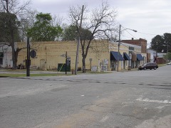 | Baconton Commercial Historic District | district | 1983 | 83003603 |
| Camilla Commercial Historic District | district | 1985 | 85000862 | |
 | George W. Jackson House | building | 1983 | 83003595 |
 | James Price McRee House | building | 1979 | 79000734 |
| Mount Enon Church and Cemetery | building | 1983 | 83003596 | |
 | Pelham Commercial Historic District | district | 1983 | 83000238 |
 | South Railroad Historic District | district | 1983 | 83003597 |
 | Walton Street-Church Street Historic District | district | 1983 | 83003602 |
| Georgia Williams Nursing Home | building | 2011 | 11000180 |
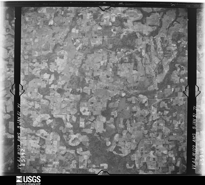
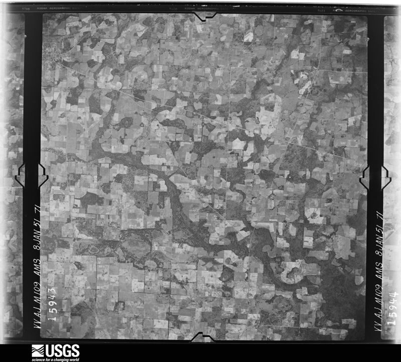
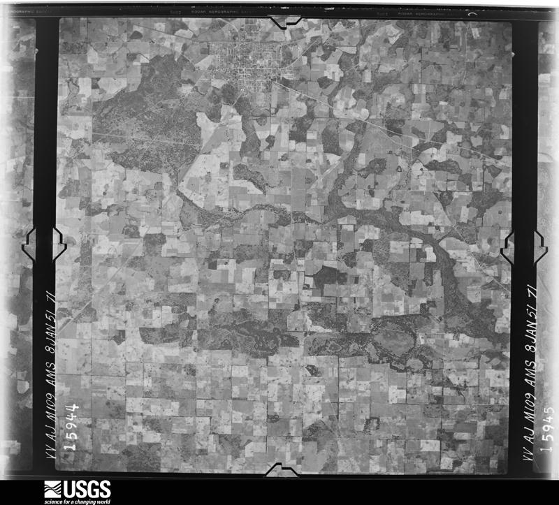
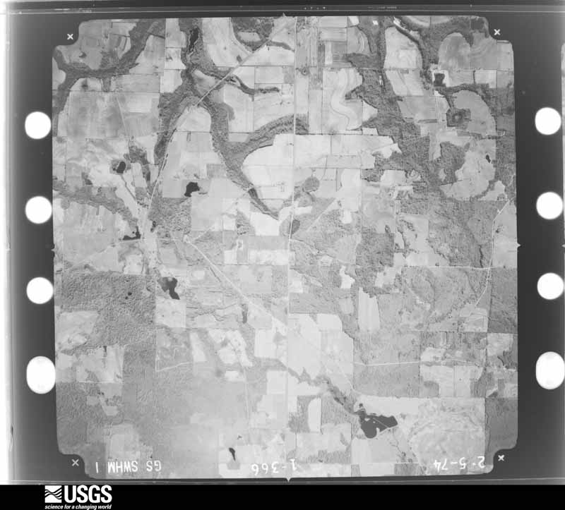
Flown by the U.S. Geological Survey between 1937 and 1989, the Aerial Photo Single Frames collection is the definitive mid-century view of the land: fields, roads and rivers as the camera saw them. The Survey holds 524 frames inside the rectangle that bounds this county; the 12 frames below were taken over the county itself, chosen across the decades of flights (at most four a year from that rectangle), so one flight cannot crowd out the rest. The full set is free to browse and download at EarthExplorer under the dataset Aerial Photo Single Frames.
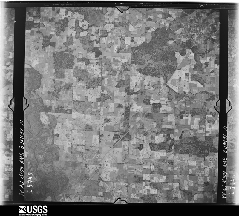
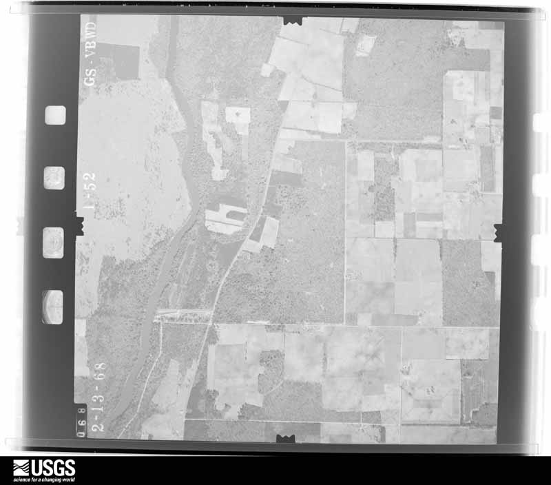
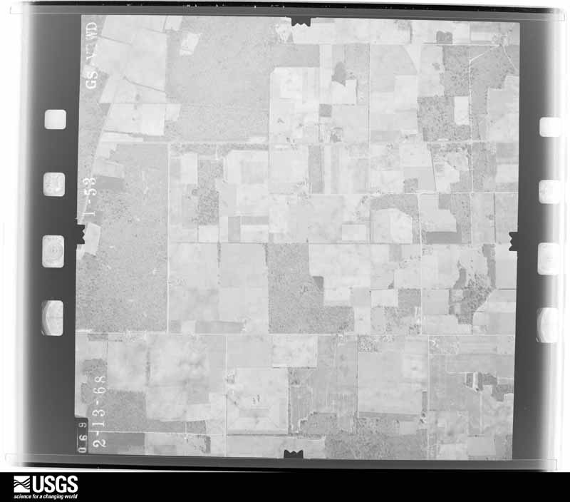
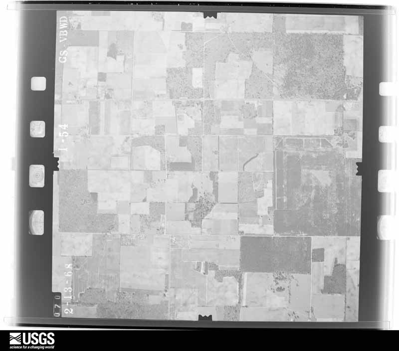
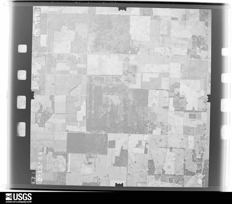
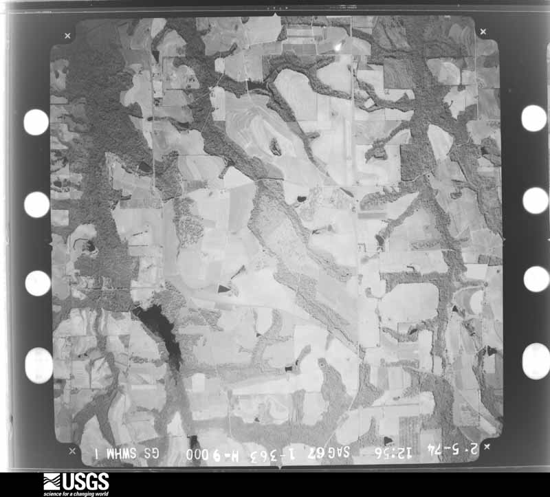
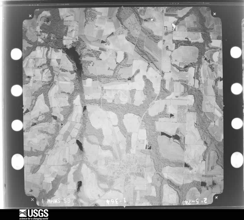
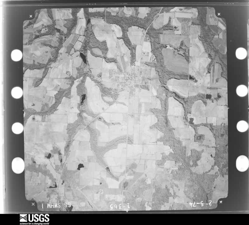
The thermometers that kept this county's weather, and the gages that measured the flow of its streams, as the federal records hold them. The extremes below are measured values from those records, not estimates.
Who lived here in 1950, one enumeration district at a time, as the Census Bureau described each district. Each row opens its official National Archives result, with Population Schedules and ED Maps available there.
Every wildfire the federal occurrence database records inside this county: 1,838 of them, burning about 7,021 acres. 38 started naturally and 138 were recorded as arson. Each settlement page carries the fires within five miles of it.
| Reported cause | Fires |
|---|---|
| Debris and open burning | 1161 |
| Equipment and vehicle use | 159 |
| Arson/incendiarism | 138 |
| Railroad operations and maintenance | 137 |
| Missing data/not specified/undetermined | 88 |
| Misuse of fire by a minor | 48 |
| Smoking | 42 |
| Natural | 38 |
| Recreation and ceremony | 27 |
The five largest, by the area the report gives. Four of them were set deliberately.
| Date | Cause | Size | Reported by | Name on the report |
|---|---|---|---|---|
| 16 April 1996 | Arson/incendiarism | 240 acres | Georgia Forestry Commission | not named |
| 5 April 1998 | Arson/incendiarism | 142 acres | Georgia Forestry Commission | not named |
| 11 April 2020 | Debris and open burning | 123 acres | Georgia Forestry Commission | FY2020MITCHELL031 |
| 14 April 2017 | Debris and open burning | 118 acres | Georgia Forestry Commission | FY2017-MITCHELL-077 |
| 31 December 2010 | Arson/incendiarism | 111 acres | Georgia Forestry Commission | FY2011-MITCHELL-032 |
| 22 March 1994 | Debris and open burning | 102 acres | Georgia Forestry Commission | not named |
| 5 February 1994 | Arson/incendiarism | 92 acres | Georgia Forestry Commission | not named |
| 12 April 1999 | Missing data/not specified/undetermined | 77 acres | Georgia Forestry Commission | not named |
Every settlement page carries the fires within five miles of it - see the settlement index below.
The NOAA Storm Events Database holds 316 reports for this county, causing 17 deaths, 401 injuries and about $36,184,950 in recorded property damage. Each settlement page carries the reports that name it.
| Kind of event | Reports |
|---|---|
| Thunderstorm Wind | 215 |
| Hail | 30 |
| Flash Flood | 30 |
| Tornado | 28 |
| Lightning | 7 |
| Flood | 6 |
The most serious of them, by death, then injury, then recorded damage. The accounts are quoted exactly as the forecast office filed them.
| When | Event | Place named | Harm | What the report says |
|---|---|---|---|---|
| February 2000 | Tornado (F3) | Camilla | 11 killed, 175 hurt, $20,000,000 | A strong tornado tore through two major subdivisions and four mobile home parks just south of Camilla after touching down just east of Branchville. Damage assessments from the American Red Cross and Federal Emergency Management Agency reported 200 homes destroyed and 250 homes were damaged. Two miles south of Camilla on GA Highway 112, a large trailer manufacturing plant was destroyed. Eleven fatalities were confirmed by the Georgia Emergency Management Agency, all of which resided in mobile homes. Approximately 175 persons were injured. The American Red Cross and Salvation Army opened several shelters for the homeless. Hundreds of acres of pecan trees were uprooted, pine trees snapped, and power lines toppled. Numerous irrigation systems were damaged. Property damage estimates totalled $20 million with crop losses estimated at $2 million. Mitchell County was declared a federal disaster area. Reported by the Mitchell County EMA. |
| March 2003 | Tornado (F3) | Camilla | 4 killed, 200 hurt, $6,000,000 | An F2 tornado touched down near Branchville, and traveled northeast. Its path was similar to the February 14, 2000 tornado. The tornado intensified to F3 as it passed just south of Camilla, then weakened as it neared the Mitchell-Worth County line. The tornado destroyed 66 homes, and damaged 200 homes and businesses. Numerous trees and power lines were down. At least three dozen roads were closed by debris. The tornado claimed four lives and injured 200. The hardest hit area was in the Goodson Road area of Camilla. A state of emergency was declared for Mitchell County. Reported by the Mitchell County EMA and CAP/NWS aerial survey team. |
| April 1974 | Tornado (F1) | not stated | 1 killed, 3 hurt, $250,000 | no account filed |
| February 2000 | Tornado (F3) | Camilla | 1 killed, 1 hurt, $1,000,000 | A strong tornado tracked northeast from extreme northwest Thomas County into extreme southeastMitchell County. Numerous homes were damaged as well as downed trees and power lines. One man died from injuries sustained when the tornado destroyed his mobile home and neighboring woodframe home two miles north of Meigs. Reported by the Mitchell County EMA. |
| January 1975 | Tornado (F2) | not stated | 15 hurt, $2,500,000 | no account filed |
| March 2001 | Thunderstorm Wind | Baconton | 2 hurt, $150,000 | A microburst caused F1 damage along a half mile path. Three mobile homes were destroyed. Two occupants inside one of the mobile homes were injured, one seriously. Six mobile homes were damaged. Some trees and power lines down. Reported by Mitchell County 911. |
| January 1972 | Tornado (F2) | not stated | 2 hurt, $25,000 | no account filed |
| September 1998 | Tornado (F1) | Camilla | 1 hurt, $500,000 | An F1 tornado struck Camilla on Mt. Zion Rd and GA 37 uprooting large pines, damaging a residence and farm machinery, and destroying a shed. A man was injured when his pickup truck was blown off GA 262. The tornado toppled numerous pecan trees as it travelled north of Camilla along U.S. 19. |
| December 2007 | Thunderstorm Wind | Baconton | 1 hurt, $100,000 | Several trees were toppled and roofs were blown off four houses in Baconton. Several mobile homes were damaged northeast of Baconton near Stagecoach Road and County Line Road. One person was injured. |
| January 2015 | Thunderstorm Wind | Mitchell County Arpt | 1 hurt, $10,000 | Straight line winds caused roof damage to a house and flipped a camper over. One person inside the camper was injured. Monetary damage was estimated. |
| March 2007 | Tornado (EF2) | Baconton | $2,250,000 | The EF-2 tornado moved northeast from Baker County into Mitchell County just west of Baconton. GEMA and FEMA assessed 26 minor damaged homes, 25 major damaged homes, and two destroyed homes. Thirteen businesses sustained minor losses. Most of the damage occurred just north of Baconton on Gravel Hill Road in the Pleasant Grove community. Over 200 acres of pecan trees were uprooted. The tornado flipped over a semi on U.S. Highway 19 about four miles north of Baconton then crossed into southeastern Dougherty County. A state of emergency was declared by the Governor. |
| February 2003 | Tornado (F1) | Pelham | $350,000 | The tornado which initially touched down just south of the Grady-Mitchell county line, continued northeast, and lifted just north of County Road 262. The worst damage occurred from Wade Road to County Road 262. It destroyed three mobile homes and severely damaged three frame homes. Several mobile homes and a few frame homes sustained minor damage. The tornado toppled numerous trees and some power lines. Reported by the Mitchell County EMA. |
| March 2025 | Tornado (EF1) | Sale City | $300,000 | This tornado was rated EF1 with max winds estimated at 105 mph. The tornado began south of Highway 37 in an open field between Rigsby Lake and Antioch Road, where it snapped and uprooted a few hardwood trees, and also bent a portion of a center-pivot irrigation apparatus. It then moved quickly northeast and crossed Highway 37 into Pebble City, where it destroyed two structures: A tin volunteer fire department building, and a community/voting center, which collapsed onto itself when the supporting cinder blocks gave way. The tornado also snapped numerous softwood trees behind both of these structures. As it raced northeastward towards Sale City Road, the tornado snapped more softwood trees and a few wooden power poles. When it reached Millard Road, the tornado continued to snap trees, with more extensive tree damage being noted along Massey Bog Road. As it moved just east of Highway 93 along Old Doerun Road, the tornado caused a double-wide manufactured home with straps to shift approximately 18 inches off its cinder block foundation, blew out the windows of two single family homes, and uprooted several softwood trees. Before it dissipated at Greenough Road, the tornado uprooted another softwood tree. |
| February 2007 | Thunderstorm Wind | Pelham | $250,000 | The Mitchell County EMA reported 15 homes damaged. |
| March 2005 | Tornado (F1) | Sale City | $250,000 | A tornado touched down on Mount Zion Road and damaged a brick home. Another dozen homes were damaged. As it traveled northeast, it damaged two irrigation pivots, tossed hay bales 200 feet across Highway 93 and uprooted many trees. The tornado then moved across open fields before crossing into Colquitt County. The storm survey was conducted by a SKYWARN storm spotter. |
| March 1984 | Tornado (F1) | not stated | $250,000 | no account filed |
| January 1952 | Tornado (F2) | not stated | $250,000 | no account filed |
| August 2008 | Flash Flood | Cotton | $200,000 | Several roads and low lying areas were flooded, including Pelham and portions of State Highways 65 and 112. |
| April 2022 | Tornado (EF1) | Greenough | $100,000 | A tornado touched down near the intersection of Faircloth road and Tuton Road in Mitchell county. It snapped a stand of large pine trees before moving east southeast towards a residence along Tuton road. At the residence, it snapped and uprooted several large pine trees, uplifted and destroyed a car port, and slightly moved a tiny home off its foundation, but did not produce significant damage to it. The very evident path continued to a residence along Palm road where it snapped a few pine trees across the field from the house. The tornado continued east towards Bobwhite Way where a stand of large pine trees and other miscellaneous trees were uprooted or snapped along the road. The path of the tornado was very evident through a Plantation where a line of large pine trees were snapped or uprooted until Georgia highway 93. A residence along Georgia highway 93 had a front porch lifted off the house, as well as many large trees snapped or uprooted along the property. The tree damage continued towards the Mitchell and Colquitt county line where the tornado likely lifted. This tornado was rated an EF1 with maximum winds around 90 mph. |
| April 2020 | Tornado (EF2) | Lester | $100,000 | Tornado touched down just west of the Mitchell/Worth County line along South County Line Road, damaging a mobile home. The tornado continued northeast, impacting several single family homes along Highway 112 and York Road. Damage to a home on York Road was consistent with an EF2 tornado wind peak winds around 120 mph. The tornado lift shortly after crossing York Road, with no additional damage noted. |
| April 2020 | Tornado (EF1) | Pelham | $100,000 | This tornado touched down near Welch St. NW on the west side of Pelham, GA. Damage was mainly confined to snapped or uprooted trees. However, the tornado did remove a large percentage of metal roofing at an auto service building on Curry Street. It also flipped a van at this location. Several trees were uprooted or snapped on Green St. before the tornado damaged a metal awning at a warehouse on U.S. 19 just south of Green St. East. The tornado continued southeast from there, causing some damage to an outbuilding and the roof of a home on Harmony Road before lifting. The damage was consistent with an EF-1 rating with max winds of 95 mph. Many other locations within Pelham were damaged by straight-line winds estimated to be around 80 mph. |
| January 2017 | Tornado (EF1) | Baconton | $100,000 | An EF1 tornado with max winds near 95 mph touched down near Flint River just west of US 19 and north of Baconton in Mitchell County. Numerous trees were uprooted and snapped. In fact, there were estimates of around 3,000 pecan trees destroyed. There was roof damage to several mobile homes off Stage Coach Road. The tornado may have touched down a bit further west and lifted a bit further east. However, these areas were inaccessible to the survey team. Damage cost was estimated. An article from Texas A&M states that a mature pecan tree is worth around $2,500, bringing the estimated crop damage total to around $7.5 million. |
| April 2002 | Hail | Camilla | $100,000 | Golfball size hail damaged several vehicles and homes. The hail destroyed several strawberry and peach crops, and damaged watermelon, cantaloupe and tomato crops on a farm located off U.S. Highway 19/300. Reported by the Mitchell County Sheriff. |
| October 2002 | Tornado (F0) | Pelham | $90,000 | A small tornado briefly touched down and destroyed a warehouse. Several trees and power lines were toppled. Reported by the Mitchell County EMA. |
| August 2008 | Thunderstorm Wind | Camilla | $75,000 | The top of a trailer at the Mitchell County Middle School was blown off. Wood debris from the trailer damaged several vehicles parked in the faculty parking lot. |
| March 2002 | Lightning | Pelham | $75,000 | Lightning sparked a fire which destroyed a warehouse on Highway 19 just south of Pelham. |
| August 2016 | Flash Flood | Camilla | $50,000 | Significant flash flooding occurred in Camilla. Water entered some structures and some roads in town were flooded to a depth of at least one foot from Highway 19 to Ellis Street. The main highway running through town was flooded and blocked by a fire truck. Around 5 inches of rain fell in a 2 hour period. Damage was estimated. |
| January 2006 | Flood | Camilla | $50,000 | Four to eight inches of rain within a 12-hour period caused flooding of many streets, intersections and low-lying areas. Several houses were surrounded by water, with some flooded on Church Street. Reported by the Camilla Enterprise. |
| June 1995 | Thunderstorm Wind | Pelham | $50,000 | Thunderstorm winds knocked down several large trees, destroying four cars in the area. Also the floorboards to a home were buckled by the winds. |
| June 1994 | Thunderstorm Wind | Bacenton | $50,000 | Thunderstorm winds damaged two old barns, four sheds and downed several large trees. Over 100 homes were without power for three hours due to power lines downed from thunderstorm winds. |
| June 2011 | Thunderstorm Wind | Camilla | $40,000 | Several trees were blown down. A house had water damage caused by a tree falling on its roof in Camilla. The monetary damage figure provided is a rough estimate. |
| June 1998 | Thunderstorm Wind | Countywide | $30,000 | Trees and power lines down countywide. A few homes were damaged from fallen trees. |
| November 2002 | Lightning | Camilla | $25,000 | Lightning struck and damaged the roof of a Camilla church. Reported by the Camilla Enterprise. |
| June 1989 | Tornado (F1) | not stated | $25,000 | no account filed |
| March 1972 | Tornado (F1) | not stated | $25,000 | no account filed |
| April 1971 | Tornado (F1) | not stated | $25,000 | no account filed |
| June 1968 | Tornado (F0) | not stated | $25,000 | no account filed |
| March 1963 | Tornado (F1) | not stated | $25,000 | no account filed |
| April 1963 | Tornado (F2) | not stated | $25,000 | no account filed |
| May 1960 | Tornado (F2) | not stated | $25,000 | no account filed |
| November 2002 | Lightning | Pelham | $20,000 | Lightning struck the roof of a home, and severely damaged the attic and adjacent bedroom. Reported by the Pelham Journal. |
| March 2002 | Thunderstorm Wind | Northeast Portion | $20,000 | A roof was blown off a house, trees and power lines down between State Highway 93 and Hatcher Hill Road. Reported by the Mitchell County EMA. |
| July 2000 | Thunderstorm Wind | Pelham | $20,000 | Large pine trees blown down onto power lines and homes within a three-square block area in east Pelham. Reported by the Pelham Journal. |
| May 1995 | Thunderstorm Wind | Sale City | $20,000 | Thunderstorm winds knocked over numerous trees including two 60-foot Pecan trees. The fallen trees caused roof and structure damage to a home. Thunderstorm winds also blew a satellite dish off of the city's water tower. Power was also out for two and one-half hours. |
| July 2004 | Thunderstorm Wind | Countywide | $15,000 | Downed trees and power lines. Nearly 1000 customers were without power. Reported by the Camilla Enterprise. |
| July 2004 | Lightning | Southeast Portion | $15,000 | Lightning struck a mobile home on Old Thomasville Road, and it was destroyed by fire. Reported by the Camilla Enterprise. |
| January 2002 | Thunderstorm Wind | Baconton | $15,000 | A house sustained roof damage. Trees and power lines down. Reported by a WALB-TV meteorologist. |
| September 2016 | Thunderstorm Wind | Baconton | $10,000 | One tree fell on a home in Baconton. A picture posted on social media shows that the trunk of the tree split and may have been rotted. No other trees down or wind damage was reported in the area. Damage was estimated. |
| May 2011 | Thunderstorm Wind | Pelham | $10,000 | Numerous trees were reported down over southern Mitchell county with power outages also reported. The monetary damage figure provided is a rough estimate. |
| December 2002 | Thunderstorm Wind | Countywide | $10,000 | Downed trees and power lines reported by the Mitchell County Sheriff. |
| April 2002 | Thunderstorm Wind | Camilla | $10,000 | An irrigation system was overturned off State Highway 37. Reported by the Albany Herald. |
| March 2001 | Thunderstorm Wind | Pelham | $10,000 | Several trees down on two transformer power lines caused scattered outages. Reported by the Pelham Journal. |
| February 2012 | Thunderstorm Wind | Pelham | $7,000 | Trees and power lines were blown down county wide with the majority of the reports focused in the southern part of the county, including Pelham. Monetary damage was estimated. |
| June 2023 | Thunderstorm Wind | Greenough | $5,000 | Numerous power outages occurred due to severe storms with downed and sagging power lines. |
| April 2022 | Thunderstorm Wind | Greenough | $5,000 | Trees were blown down with roof damage to a mobile home near Highway 112 and Greenough Road. |
| April 2022 | Thunderstorm Wind | Sale City | $5,000 | A structure sustained light damage as the metal siding was torn off. |
| June 2018 | Thunderstorm Wind | Branchville | $5,000 | Some power lines were blown down with a couple of broken power poles as well. Over 700 customers were without power as reported by Mitchell EMC. |
| February 2012 | Thunderstorm Wind | Camilla | $5,000 | Trees were blown down with power outages in parts of Camilla. Monetary damage was estimated. |
| February 2012 | Thunderstorm Wind | Hopeful | $5,000 | A tree fell on and damaged an outbuilding and some power lines were also brought down near a nearby house about 12 to 15 miles from Bainbridge on Highway 311. Monetary damage was estimated. |
| February 2012 | Thunderstorm Wind | Camilla | $5,000 | Trees and telephone lines were blown down in Camilla. Monetary damage was estimated. |
Named settlements recorded in the Geographic Names Information System, each with the topographic sheets covering it. Villages, hamlets and abandoned places alike. Each is shown with the nearest named watercourse or landform and the survey quadrangle it falls on. The 2 places that were also surveyed for fire insurance come first, with the number of atlases and photographs held for them.
Camilla census division · 31730 · Camilla quadrangle
9 sheets, 1953 to 1981
Fire insurance: 9 atlases
Pelham census division · 31779 · Camilla quadrangle
9 sheets, 1953 to 1981
Fire insurance: 4 atlases
Sale City census division · 31784 · On Sallys Branch · Cotton quadrangle
8 sheets, 1953 to 1981
No longer a settlement
Baconton census division · 31716 · By Red Bluff · Baconton North quadrangle
11 sheets, 1953 to 1981
Pelham census division · 31730 · Camilla quadrangle
9 sheets, 1953 to 1981
No longer a settlement
Pelham census division · 31779 · Cotton quadrangle
8 sheets, 1953 to 1981
No longer a settlement
The vanished settlements of Mitchell County: the places named above that are no longer on the map.
9 topographic sheets and 9 fire insurance atlases, 1885 to 1944
9 topographic sheets and 4 fire insurance atlases, 1906 to 1939