 Block
From the record
9 National Register listings published here.
Sources: the National Register database, National Park Service
26 topographic sheets and 8 fire insurance atlases across 1 place.
9 National Register listings published here.
Sources: the National Register database, National Park Service
Taken for the Office of War Information and the Farm Security Administration, who photographed the country between 1935 and 1944. Works of United States government photographers, with no known restriction on use. Each opens its catalogue record.
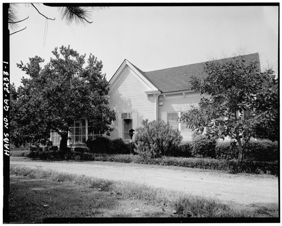
Every property in this county listed on the National Register of Historic Places, with the year it was listed and the federal nomination document.
| Photograph | Property | Type | Listed | Reference |
|---|---|---|---|---|
| Byron Historic District | district | 1995 | 95000739 | |
| Collis Potter Huntington Hall | building | 2000 | 00000390 | |
| Everett Square Historic District | district | 1994 | 94001493 | |
 | James A. Everett House | building | 1992 | 92001674 |
| Fort Valley Downtown and Railroad Historic District | district | 2010 | 10000549 | |
| Henry Alexander Hunt High School Gymnasium | building | 2021 | 100006788 | |
| Jean Leroy Bywaters Building | building | 2000 | 00000390 | |
 | Peach County Courthouse | building | 1980 | 80001219 |
 | Strother's Farm | building | 1980 | 80004448 |
Selected from the Digital Public Library of America's 7 image records catalogued for this county. Every one shown here carries a public-domain status or a licence that permits reuse on a site that carries advertising; non-commercial, share-alike and restricted images are excluded. The selection is spread across the county's towns (at most eight per town), so no single institution's bulk upload crowds out the rest. Each opens the holding library's record, and the complete set at the Digital Public Library of America is one click away.

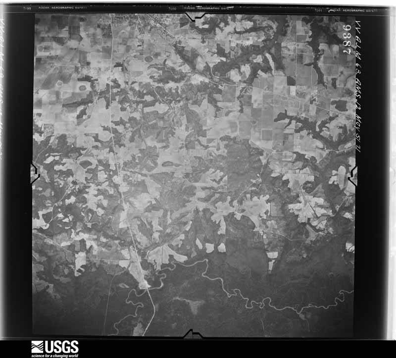
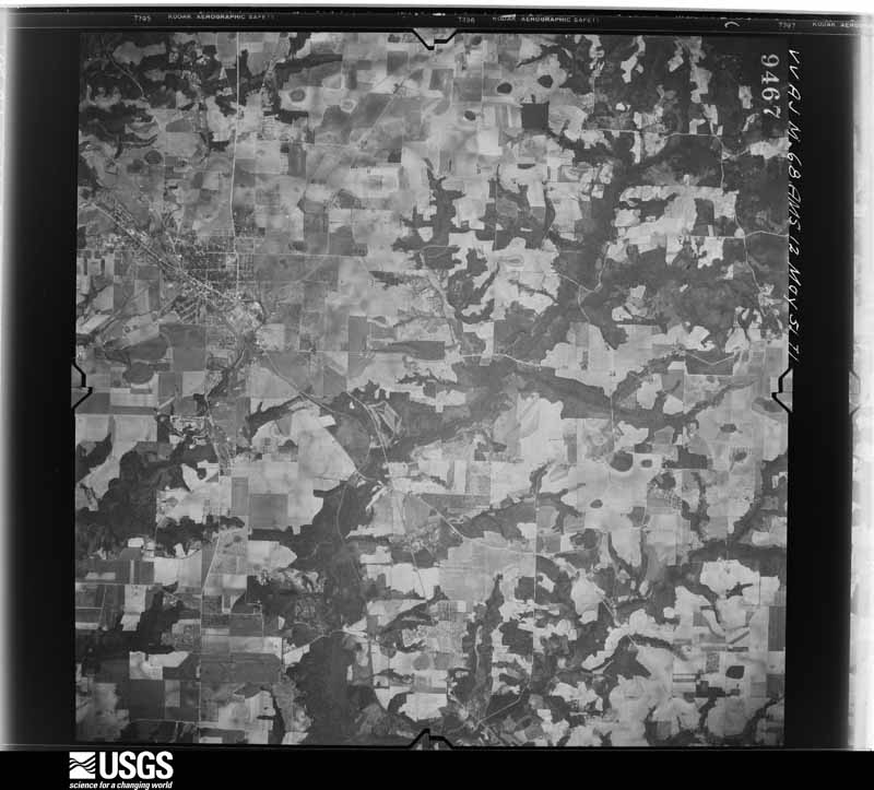
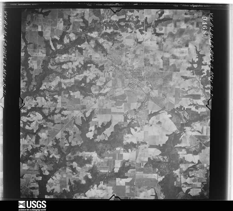
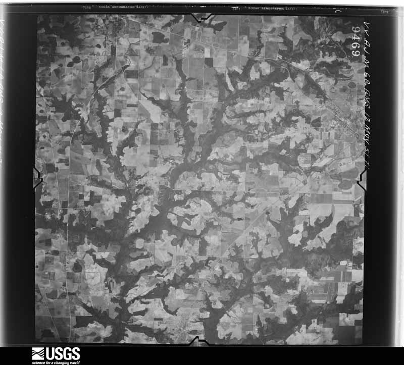
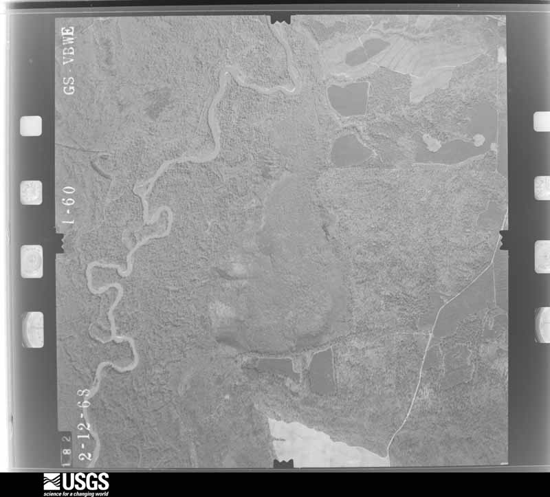
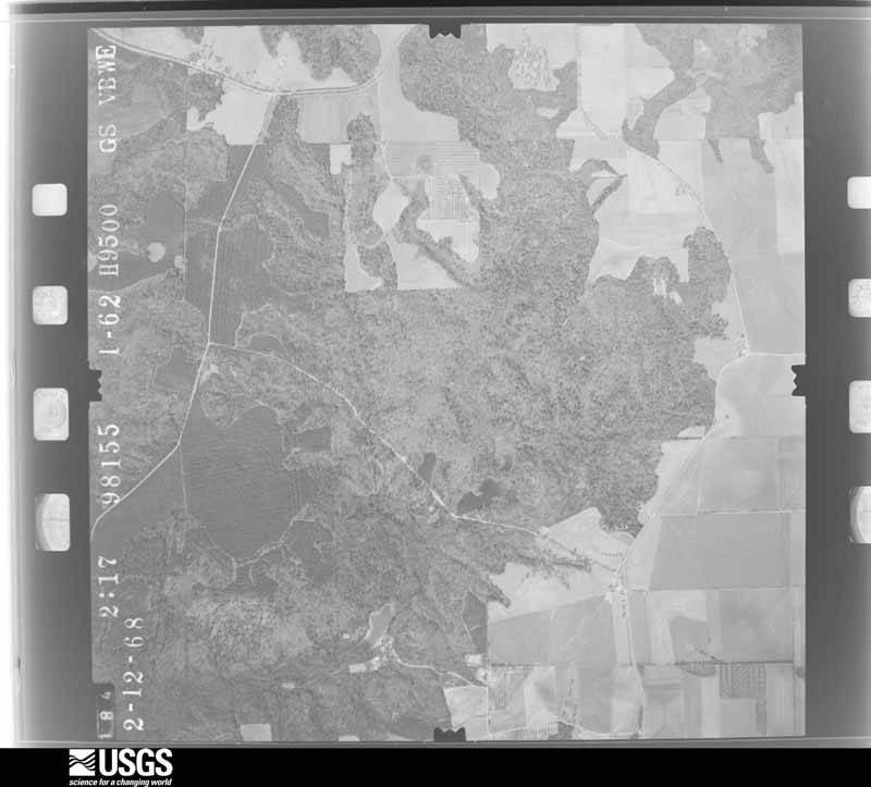
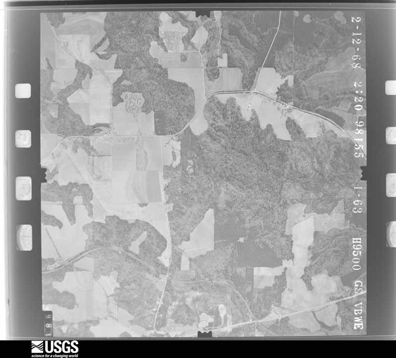
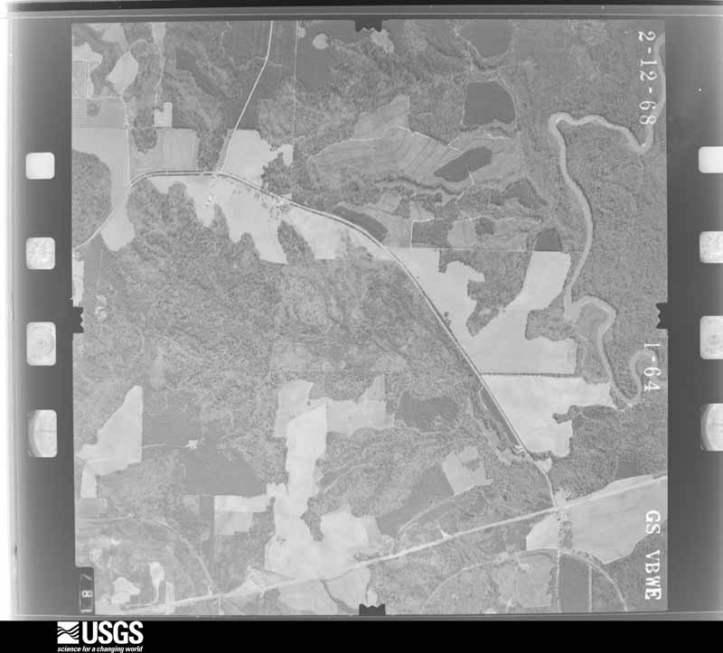
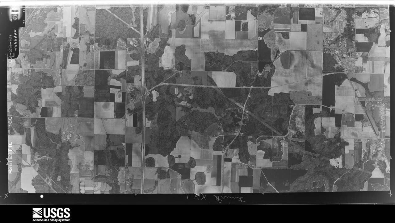
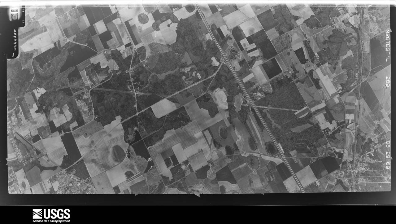
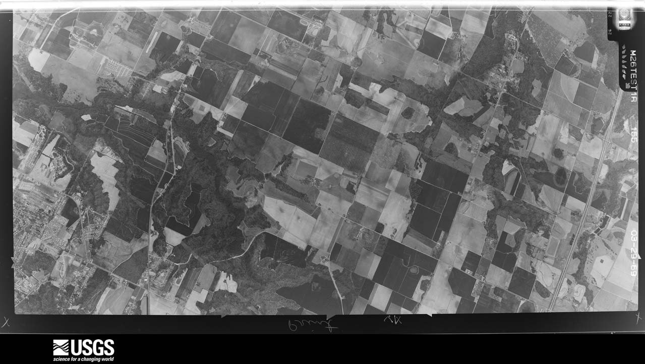
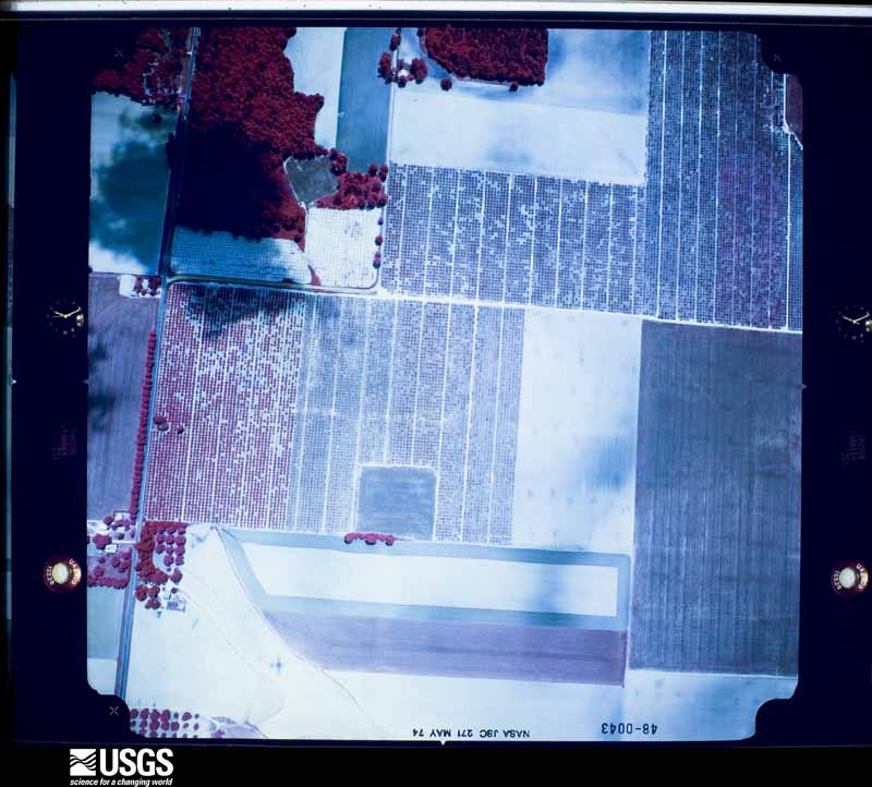
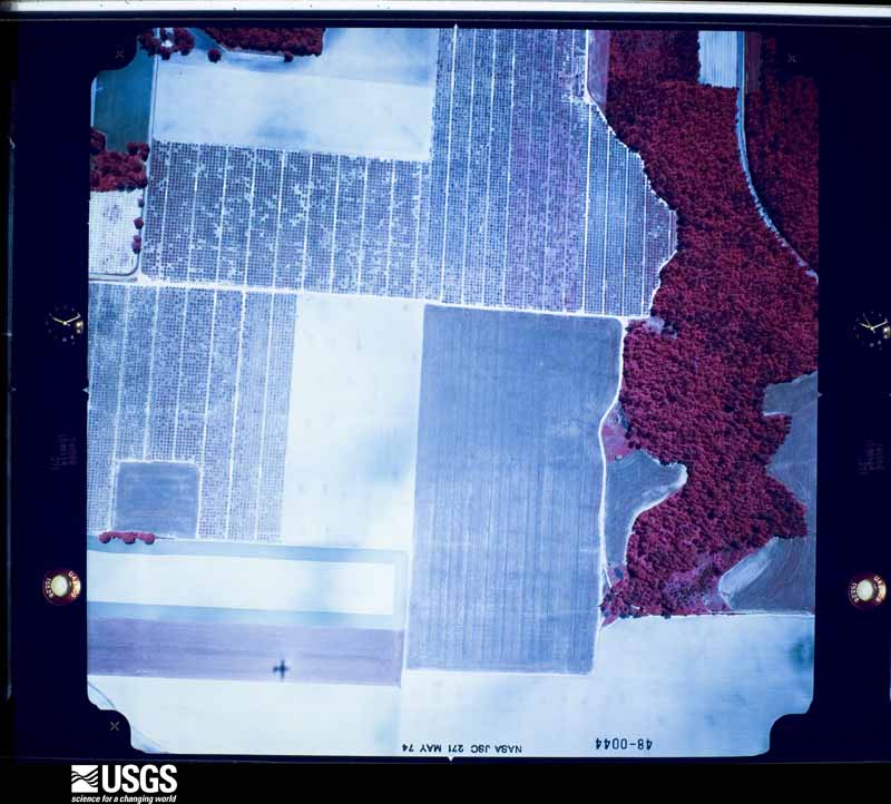
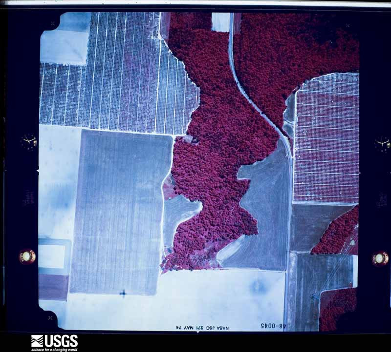
Flown by the U.S. Geological Survey between 1937 and 1989, the Aerial Photo Single Frames collection is the definitive mid-century view of the land: fields, roads and rivers as the camera saw them. The Survey holds 529 frames inside the rectangle that bounds this county; the 24 frames below were taken over the county itself, chosen across the decades of flights (at most four a year from that rectangle), so one flight cannot crowd out the rest. The full set is free to browse and download at EarthExplorer under the dataset Aerial Photo Single Frames.
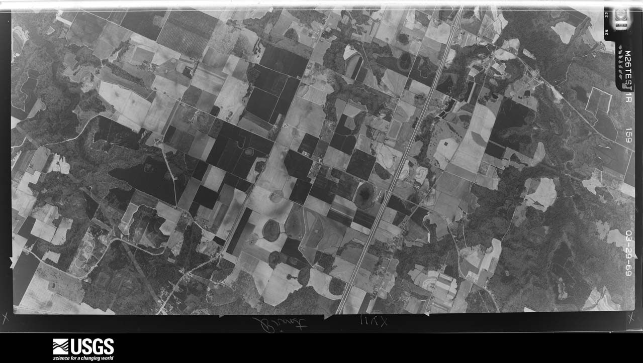

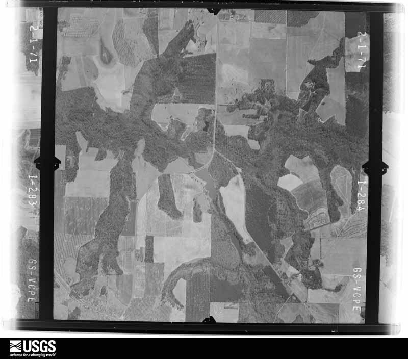
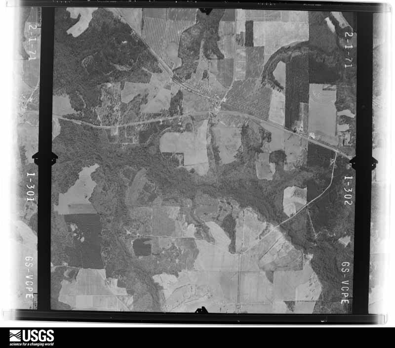
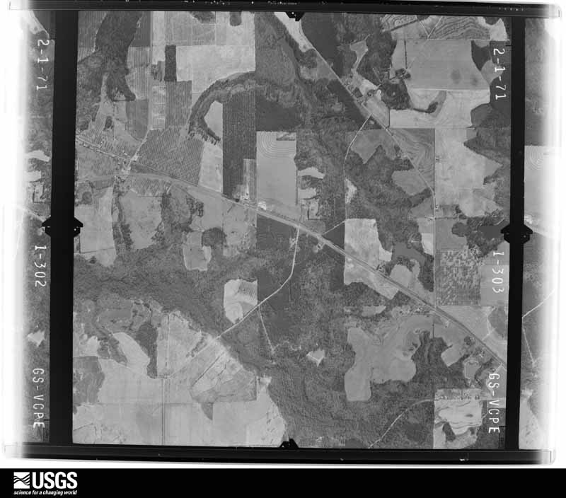
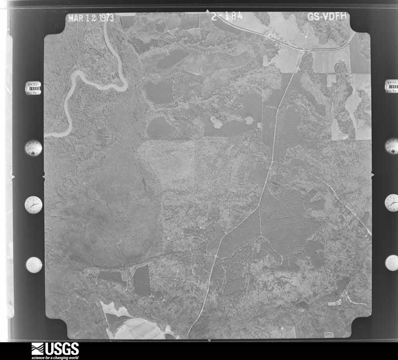
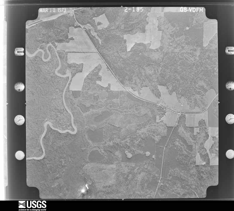
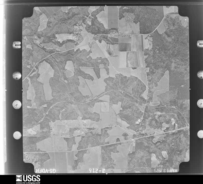
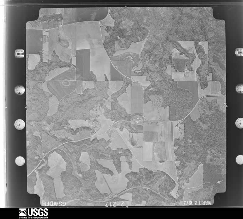

The thermometers that kept this county's weather, and the gages that measured the flow of its streams, as the federal records hold them. The extremes below are measured values from those records, not estimates.
Who lived here in 1950, one enumeration district at a time, as the Census Bureau described each district. Each row opens its official National Archives result, with Population Schedules and ED Maps available there.
Every wildfire the federal occurrence database records inside this county: 733 of them, burning about 1,782 acres. 32 started naturally and 89 were recorded as arson. Each settlement page carries the fires within five miles of it.
| Reported cause | Fires |
|---|---|
| Debris and open burning | 397 |
| Arson/incendiarism | 89 |
| Equipment and vehicle use | 72 |
| Misuse of fire by a minor | 61 |
| Missing data/not specified/undetermined | 39 |
| Natural | 32 |
| Recreation and ceremony | 15 |
| Smoking | 15 |
| Railroad operations and maintenance | 13 |
The five largest, by the area the report gives. One of them was set deliberately.
| Date | Cause | Size | Reported by | Name on the report |
|---|---|---|---|---|
| 6 April 2007 | Debris and open burning | 98 acres | Georgia Forestry Commission | not named |
| 8 September 1997 | Debris and open burning | 98 acres | Georgia Forestry Commission | not named |
| 10 May 2007 | Railroad operations and maintenance | 52 acres | Georgia Forestry Commission | not named |
| 24 May 2012 | Railroad operations and maintenance | 36 acres | Georgia Forestry Commission | FY2012-PEACH-022 |
| 2 February 1995 | Equipment and vehicle use | 32 acres | Georgia Forestry Commission | not named |
| 31 July 2011 | Arson/incendiarism | 30 acres | Georgia Forestry Commission | FY2012-PEACH-003 |
| 3 January 2006 | Debris and open burning | 28 acres | Georgia Forestry Commission | not named |
| 10 June 1997 | Equipment and vehicle use | 28 acres | Georgia Forestry Commission | not named |
Every settlement page carries the fires within five miles of it - see the settlement index below.
The NOAA Storm Events Database holds 163 reports for this county, causing 2 deaths, 62 injuries and about $32,939,000 in recorded property damage. Each settlement page carries the reports that name it.
| Kind of event | Reports |
|---|---|
| Thunderstorm Wind | 88 |
| Hail | 49 |
| Tornado | 15 |
| Flash Flood | 4 |
| Flood | 3 |
| Lightning | 2 |
| Funnel Cloud | 1 |
| Heavy Rain | 1 |
The most serious of them, by death, then injury, then recorded damage. The accounts are quoted exactly as the forecast office filed them.
| When | Event | Place named | Harm | What the report says |
|---|---|---|---|---|
| February 1975 | Tornado (F3) | not stated | 2 killed, 50 hurt, $25,000,000 | no account filed |
| April 1953 | Tornado (F1) | not stated | 5 hurt, $25,000 | no account filed |
| April 1970 | Tornado (F1) | not stated | 4 hurt, $25,000 | no account filed |
| August 2005 | Tornado (F2) | Ft Vly | 3 hurt, $2,600,000 | A damage survey conducted by the National Weather Service confirmed that an F2 tornado had touched down just south of Fort Valley, crossed Georgia Highway 49 in Fort Valley and continued north for approximately four miles. The overall damage path was four miles long and 50 yards wide. The worst damage was along Taylor's Mill Road. Extensive damage occurred to homes and businesses in the area. Several homes and businesses were destroyed or damaged beyond repair, including a branch of the Robins Federal Credit Union. Hundreds of large trees in the area were completely uprooted, including a pecan orchard which was destroyed. Three people suffered minor injuries in the way of bruises and scrapes from tornado debris. Parts of Taylor's Mill Road and Georgia Highway 49 were blocked by debris and had to be closed. |
| March 1980 | Tornado (F1) | not stated | $2,500,000 | no account filed |
| April 2015 | Hail | Byron | $476,000 | The broadcast media relayed a photo of golf ball size hail in Byron. |
| February 2009 | Hail | Ft Vly | $280,000 | A storm spotter observed reported golf ball-sized hail in the eastern part of the county. Location and time were estimated since report and radar data did not match. The public observed nickel-sized hail in western Peach county. |
| February 2009 | Hail | Powersville | $280,000 | A storm spotter observed golf ball-sized hail in the eastern part of Peach county. Location was estimated by radar data since reported time and radar reflectivity data did not match. |
| August 2008 | Hail | Miami Vly | $250,000 | The public observed golf ball-sized hail. Radar data suggests that this occurred in the Miami Valley area, not near Byron. |
| April 1957 | Tornado (F2) | not stated | $250,000 | no account filed |
| June 2019 | Lightning | Clopine | $200,000 | The Peach County Emergency Manager reported a home was struck by lightning on Clopine Lake Road just south of Sam Nunn Boulevard. The lightning strike caused a fire that completely consumed the home. No injuries were reported. |
| July 2010 | Lightning | Byron | $150,000 | The Leader Tribune of Peach County reported that lightning struck a home on Tucker Road near Byron. The lightning strike put a large hole in the wall and set the structure on fire. The home was subsequently completely destroyed. |
| March 2019 | Tornado (EF1) | Taylors Mill | $100,000 | A National Weather Service survey team found that a tornado that began in Crawford County crossed into Peach County around Mossy Creek as it weakened back to EF1, downing or uprooting a number of trees along Taylors Mill Road. Pecan farming equipment was overturned and a farming shed was destroyed as the tornado crossed Vinson Road. The tornado lifted after downing pecan trees along Wesley Chapel Road. No injuries were reported in Peach County. [03/03/19: Tornado #1, County #2/2, EF1, Crawford, Peach, 2019:006]. |
| April 2017 | Tornado (EF0) | Byron | $75,000 | A National Weather Service survey team found that an EF1 tornado with maximum wind speeds of 93 MPH and a maximum path width of 600 yards touched down in west Byron. The tornado moved east, crossing I-75 and travelling east along Dunbar Road before crossing US Highway 41 into Houston County. The primary damage along this path was snapped or uprooted trees. A few of these trees struck homes causing damage. No injuries were reported. [04/03/17: Tornado #16, County #1/2, EF-1, Peach, Houston, 2017:048]. |
| March 2019 | Tornado (EF0) | Myrtle | $50,000 | A National Weather Service survey found that an EF0 tornado with maximum wind speeds of 80 mph and a maximum path width of 300 yards crossed Big Indian Creek from Macon County in to Peach County west of Norwood Springs Road. The tornado moved east, crossing Norwood Springs Road where several trees were snapped and a metal outbuilding was damaged. Sheets of metal siding and roofing from this outbuilding were lifted into the tops of nearby trees. Along Clopine Lake Road, numerous trees were snapped or uprooted as the tornado crossed the road and a mobile home sustained damage to the roof and skirting. A metal outbuilding had one of its 3 south-facing doors blown off and thrown onto a nearby building. A 30 foot section of wooden fencing was snapped off at the base of the posts. The tornado continued a short distance east past Clopine Lake Road but dissipated before reaching Valley Drive. No injuries were reported. [03/03/19: Tornado #12, County #2/2, EF0, Peach, 2019:017]. |
| March 2011 | Thunderstorm Wind | Byron | $50,000 | A damage survey conducted by the National Weather Service Forecast Office in Peachtree City, Georgia in conjunction with the Peach County Emergency Management Director confirmed that straight-line thunderstorm wind gusts of 75 mph removed approximately 40 percent of a secondary roof of the Days Inn Motel in Byron. This roof was a secondary structure installed over the original roof, which was not damaged. A nearby billboard also sustained minor damage. |
| June 2009 | Thunderstorm Wind | Byron | $50,000 | The Peach County 911 Center reported that at least a dozen trees were down across the county, especially in the northern part of the county around Powersville. Several trees were down on homes causing damage to the structures. |
| April 1998 | Thunderstorm Wind | Byron | $50,000 | Thunderstorm winds blew a barn down, tore roofs off and knocked trees down. |
| April 1998 | Thunderstorm Wind | Byron | $50,000 | A severe thunderstorm developed over Peach county around noon EST. The Peach county EMA reported several homes and trees were damaged in the Majestic Oak subdivision on the south side of Byron. A three car garage was destroyed and part of a roof was torn away. Another home across the street was was damaged when a tree was blown onto its roof. Other homes sustained minor to moderate damage. There were several reports of a funnel cloud. Dime size hail was also reported. |
| June 1998 | Thunderstorm Wind | Byron | $50,000 | Numerous trees and power lines were knocked down in Byron and all along the Peach-Houston county line. Most of the county lost power. Dime to quarter size hail was also reported. |
| February 2019 | Thunderstorm Wind | Lakeview | $25,000 | The Peach County Emergency Manager reported significant damage to a mobile home on Highway 41 when a tree was blown over onto the home. Another structure sustained minor damage at the location. No injuries were reported. |
| July 2017 | Thunderstorm Wind | Taylors Mill | $25,000 | The public reported numerous trees blown down along Taylors Mill Road near the Crawford County line. |
| January 2017 | Tornado (EF0) | Lakeview | $25,000 | A National Weather Service survey team found that the tornado that began in southeast Peach County and briefly crossed into a small portion of western Houston County, once again moved into a small portion of Peach County along Mossy Creek between I-75 and U.S. Highway 41. The tornado moved east for less than a mile before moving back into Houston County along U.S Highway 41. This tornado was rated EF0 along this portion of its path with maximum wind speeds of 80 MPH and mainly downed trees and power lines, however one tree did fall on and damage a nursing home along Highway 41. The tornado would eventually travel over 13 miles across portions of Peach and Houston Counties. [01/21/17: Tornado #12, County #3/4, EF0, Peach-Houston-Peach-Houston, 2017:013]. |
| September 2009 | Flood | Hartley | $25,000 | The Peach County Emergency Management Director reported that eight roads were closed from flooding across the county. Some of the roads closed included Rolling Hills Road, Woolfolk Road, Lilly Road, and the Georgia Highway 49 bypass. Some of the roads could be closed for days to weeks as repairs are made. This flooding was a result of repeated heavy rainfall for several hours during the late evening of the 17th and the early morning hours of the 18th. The flooding in Peach county did not reach flash flood criteria, thus damage to roads was minimal. |
| March 2007 | Thunderstorm Wind | Ft Vly | $25,000 | The Peach County Emergency Management Director reported that two homes were damaged when a large tree fell on each house. One of the homes was on Will Lake Road and the other on Mills Road. |
| March 2005 | Flash Flood | Clopine | $25,000 | The Peach County 911 Center reported a partial failure of the Clopine Lake Dam in the far southeast part of the county just off U.S. Highway 341. Nearly two-thirds of the water in the lake flowed through the breach in the dam into Big Indian Creek. |
| April 2015 | Thunderstorm Wind | Wilson | $20,000 | The Peach County Emergency Manager reported 20-30 pecan trees uprooted near Valley View Drive and State Highway 96. Power lines were also blown down in the area and light standards were blown down at the Peach County High School baseball field. |
| August 2008 | Thunderstorm Wind | Byron | $20,000 | The public reported that three pecan trees were uprooted and the siding was torn off a home on Hardison Street. Two swing sets were also flattened by strong downburst winds in the Byron area. |
| March 1996 | Thunderstorm Wind | Powersville | $20,000 | no account filed |
| June 2020 | Thunderstorm Wind | Ft Vly | $15,000 | The Peach County Emergency Manager reported a large pecan tree blown down onto power lines and a house near the intersection of Valley View Drive and Orange Street, causing a small fire. No injuries were reported. |
| March 2013 | Thunderstorm Wind | Powersville | $15,000 | Ham radio operators relayed a report of a tree down on a mobile home near Byron. |
| July 2000 | Thunderstorm Wind | Byron | $15,000 | The public reported that an awning and a pole were blown off a house. The pole below over the roof and hit and damaged a car in the yard. Further south, a trailer was knocked off its base and several trees were blown down. Pea size hail was also reported during this same thunderstorm. |
| August 2023 | Thunderstorm Wind | Albaugh | $10,000 | Ten trees and numerous power lines were downed along Buckeye Road. |
| May 2019 | Thunderstorm Wind | Albaugh | $10,000 | Public reported multiple pecan trees down just south of Hwy 96 between Fort Valley and Perry. Time estimated from radar. |
| January 2017 | Tornado (EF0) | Albaugh | $10,000 | A National Weather Service survey team found that a tornado began in southeast Peach County around the intersection of Harper Road and Andel Road just west of the Perry-Houston County Airport. The tornado moved east for around 2.5 miles before crossing into Houston County along Buckeye Road. This tornado was rated EF0 along this portion of its path with maximum wind speeds of 80 MPH and mainly downed trees and power lines, however some minor damage to shingles on homes was noted in this area. The tornado would eventually travel over 13 miles across portions of Peach and Houston Counties. [01/21/17: Tornado #12, County #1/4, EF0, Peach-Houston-Peach-Houston, 2017:013]. |
| May 2008 | Thunderstorm Wind | Byron | $10,000 | The Peach County 911 Center reported that numerous trees were down across many area of the county. Widespread power outages were observed. |
| June 2007 | Thunderstorm Wind | Ft Vly | $10,000 | The Peach County 911 Center reported that many trees and several power lines were blown down across the county, especially in the Fort Valley area. The Macon Telegraph reported that downed power lines along Georgia Highway 49 resulted in a power loss to 1500 people in the area. One-quarter to one-half inch diameter hail was also observed in the area. |
| March 2003 | Thunderstorm Wind | Ft Vly | $10,000 | The Peach Emergency Management Director reported that a 60 foot by 60 foot pole barn, enclosed on three sides, was completely destroyed. This structure was located about halfway between Fort Valley and Byron. |
| July 1998 | Thunderstorm Wind | Byron | $10,000 | WMAZ TV in Macon reported thunderstorm winds damaged outbuildings in a mobile home park on White Road. The winds also blew a hole in a storage shed and damaged trees. |
| August 2023 | Thunderstorm Wind | Powersville | $8,000 | Numerous trees reported uprooted or snapped on both sides of Hwy 49 near Bible Camp Rd. |
| July 2017 | Thunderstorm Wind | Ft Vly | $7,000 | The Peach County 911 center reported trees and power lines blown down around the intersection of N. Miller Street and Parsons Street in Fort Valley and around the intersection of Highway 341 and Norwood Springs Road south of Fort Valley. |
| August 2015 | Thunderstorm Wind | State College | $6,000 | The Peach County 911 Center reported numerous trees and power lines blown down in the Fort Valley area, including West Church Street, Knoxville Street, North jones Street and White Street. |
| March 2021 | Thunderstorm Wind | Vly View Orchard | $5,000 | The Peach County Emergency Manager reported trees blown down from around Willow Lake Road at the county line to Norwood Springs Road at Highway 341. |
| October 2018 | Tornado (EF0) | Vly View Orchard | $5,000 | A National Weather Service survey determined that an EF0 tornado with maximum wind speeds of 70-75 MPH and a maximum path width of 100 yards traveled north northwest along Carver Drive for 1.8 miles snapping a few pine trees. [10/10/18: Tornado #1, County #1/1, EF-0, Peach, 2018:012]. |
| April 2011 | Thunderstorm Wind | Ft Vly | $5,000 | The Peach County 911 Center reported that at least a half-a-dozen trees and power lines were down across the county. Power lines and trees were down in Byron and Fort Valley. |
| June 2009 | Thunderstorm Wind | Byron | $5,000 | Broadcast media, through the National Weather Service Charleston, South Carolina office relayed a report of several trees down across the county, especially in the Powersville area. Trees were down on Georgia Highways 49, 97, and 247. |
| July 2008 | Thunderstorm Wind | Ft Vly | $5,000 | The Peach County 911 Center reported that from one to two dozen trees were down in the southwest part of the county near the Macon county line. Some roads were blocked. |
| March 1997 | Thunderstorm Wind | Fort Valley | $5,000 | no account filed |
| June 2019 | Thunderstorm Wind | Albaugh | $4,000 | The Peach County Emergency Manager reported trees blown down between Fort Valley and Perry along Bleckley, Irby and Holland Roads. |
| July 2007 | Thunderstorm Wind | Ft Vly | $4,000 | The Peach County 911 Center reported that several trees and power lines were down across the county from Fort Valley and Byron southeast to Myrtle, Miami Valley, and Powersville. An amateur radio operator observed pea-sized hail in the area as well. |
| May 1997 | Thunderstorm Wind | Byron | $4,000 | no account filed |
| June 2011 | Thunderstorm Wind | Byron | $3,000 | The Peach County 911 Center reported that several trees were down across the county. The majority of the damage was caused by strong thunderstorm outflow winds well in advance of the actual thunderstorms. |
| May 2003 | Thunderstorm Wind | Ft Vly | $3,000 | The public reported that some trees were blown down as well as some highway signs that were blown onto the highway. |
| August 2000 | Thunderstorm Wind | Byron | $3,000 | The Peach county civil defense reported that a large pine tree fell down on a power line and across the road. |
| April 1998 | Thunderstorm Wind | Ft Vly | $3,000 | Thunderstorm winds knocked down many trees. |
| April 1954 | Tornado (F1) | not stated | $2,500 | no account filed |
| June 2018 | Thunderstorm Wind | Ft Vly | $2,000 | The Peach County 911 center reported trees and power lines blown down on Magnolia Street in Fort Valley. |
| April 2016 | Thunderstorm Wind | Powersville | $2,000 | The Peach County Emergency Manager reported two pine trees blown down along Kay Road south of Byron. |
| May 1998 | Hail | Ft Vly | $2,000 | The public reported dime size hail in Fort Valley and Peach county 911 reported golfball size hail in Powerville. |
| November 2014 | Thunderstorm Wind | Ft Vly Duke Arpt | $1,500 | The Peach County 911 Center reported several trees down southwest of Byron. |
The Survey's mineral resources record lists 2 workings inside this county. 1 still produces and 1 is closed or unrecorded. Each settlement page carries the workings within five miles of it.
| Commodity | Workings |
|---|---|
| Sand and Gravel, Construction | 2 |
The least common of them first, because a county's hundredth gravel pit says nothing its first ten did not.
| Where | Site | Commodity | Status | Recorded |
|---|---|---|---|---|
| J&J Lumber Co. Quarry | Sand and Gravel, Construction | Producer | ||
| Powersville Pit | Sand and Gravel, Construction | Occurrence |
Named settlements recorded in the Geographic Names Information System, each with the topographic sheets covering it. Villages, hamlets and abandoned places alike. Each is shown with the nearest named watercourse or landform and the survey quadrangle it falls on. The 1 place that was also surveyed for fire insurance comes first, with the number of atlases and photographs held for them.
Fort Valley census division · 31030 · Fort Valley West quadrangle
11 sheets, 1956 to 1988
Fire insurance: 8 atlases
Fort Valley census division · 31030 · On Mule Creek · Fort Valley East quadrangle
10 sheets, 1956 to 1988
Fort Valley census division · 31030 · Fort Valley West quadrangle
11 sheets, 1956 to 1988
Fort Valley census division · 31030 · On Dry Run Creek · Fort Valley East quadrangle
10 sheets, 1956 to 1988
Fort Valley census division · 31030 · On Mule Creek · Fort Valley East quadrangle
10 sheets, 1956 to 1988
Fort Valley census division · 31030 · Fort Valley West quadrangle
11 sheets, 1956 to 1988
Fort Valley census division · 31030 · Fort Valley West quadrangle
11 sheets, 1956 to 1988
Fort Valley census division · 31030 · Fort Valley West quadrangle
11 sheets, 1956 to 1988
Fort Valley census division · 31030 · Fort Valley East quadrangle
10 sheets, 1956 to 1988
Fort Valley census division · 31030 · Fort Valley West quadrangle
11 sheets, 1956 to 1988
Fort Valley census division · 31030 · Fort Valley West quadrangle
11 sheets, 1956 to 1988
Fort Valley census division · 31030 · Fort Valley West quadrangle
11 sheets, 1956 to 1988
11 topographic sheets and 8 fire insurance atlases, 1890 to 1948
The complete index, with nothing left out. Each of these is a separate record with its own page: a federal survey report, or the case file that argued a property on to the National Register. Both are public domain and reproduced word for word.