 Block
From the record
6 National Register listings published here.
Sources: the National Register database, National Park Service
60 topographic sheets and 7 fire insurance atlases across 1 place.
6 National Register listings published here.
Sources: the National Register database, National Park Service
Every property in this county listed on the National Register of Historic Places, with the year it was listed and the federal nomination document.
| Photograph | Property | Type | Listed | Reference |
|---|---|---|---|---|
 | Almand-O'Kelley-Walker House | building | 1998 | 97001647 |
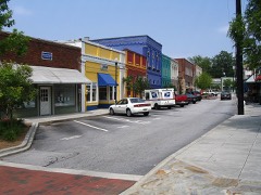 | Conyers Commercial Historic District | district | 1988 | 88000581 |
| Conyers Residential Historic District | district | 1990 | 90000947 | |
| Dial Mill | building | 1978 | 78001005 | |
 | Aaron and Margaret Parker Jr. House | building | 2009 | 09000271 |
 | Rockdale County Jail | building | 1982 | 82002462 |
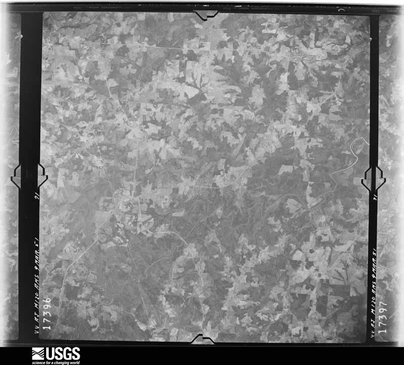
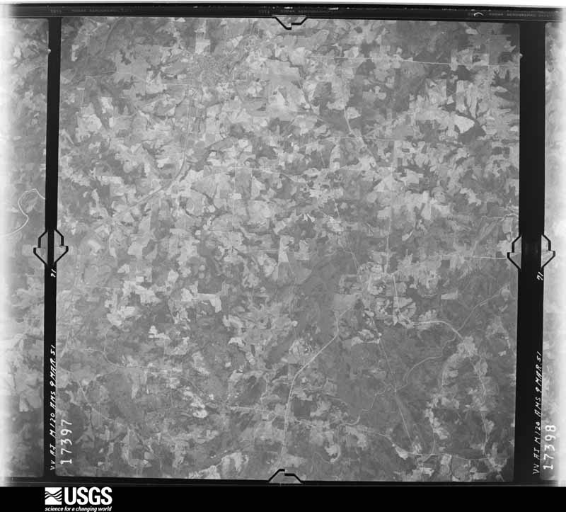
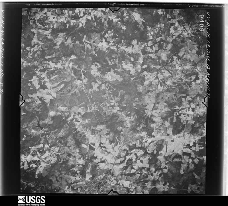
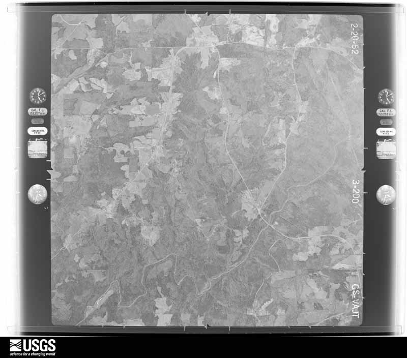
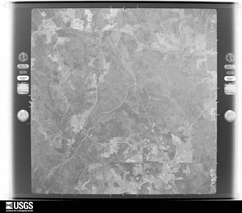
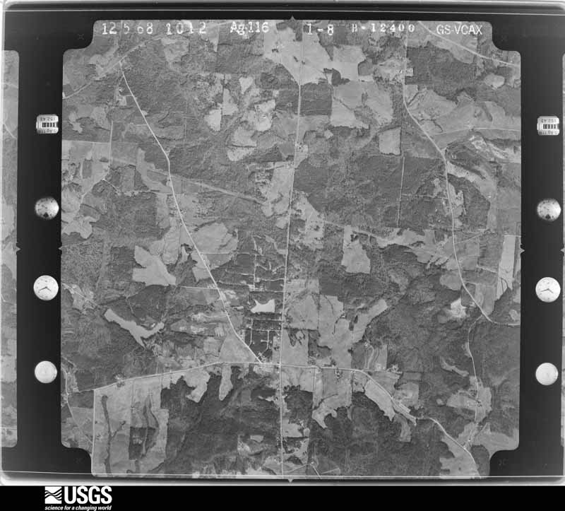
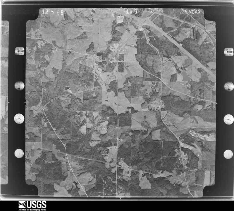
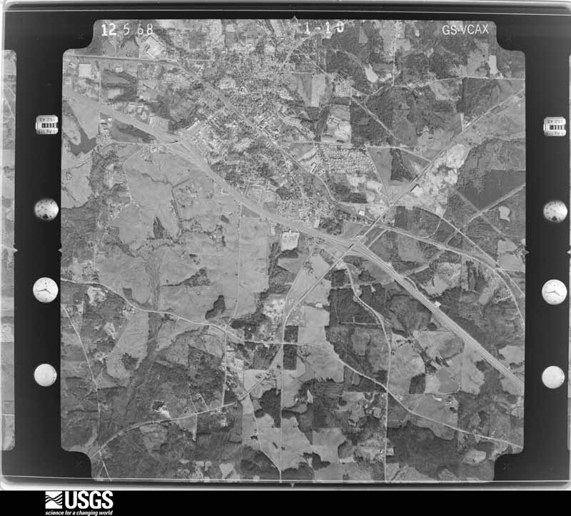
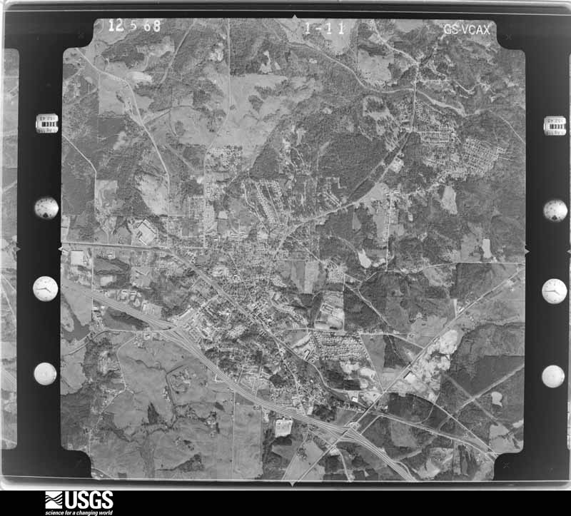
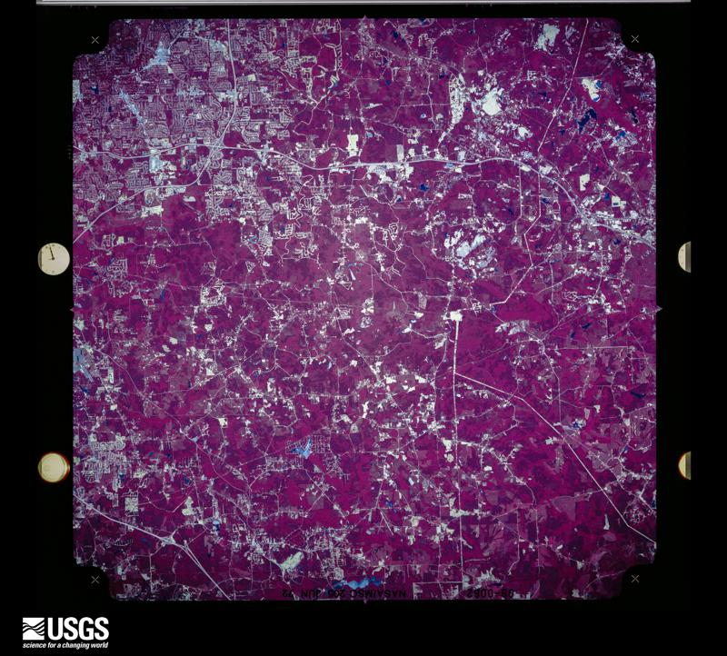
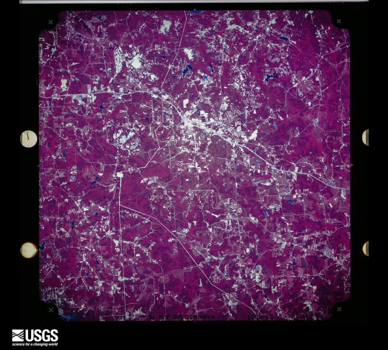
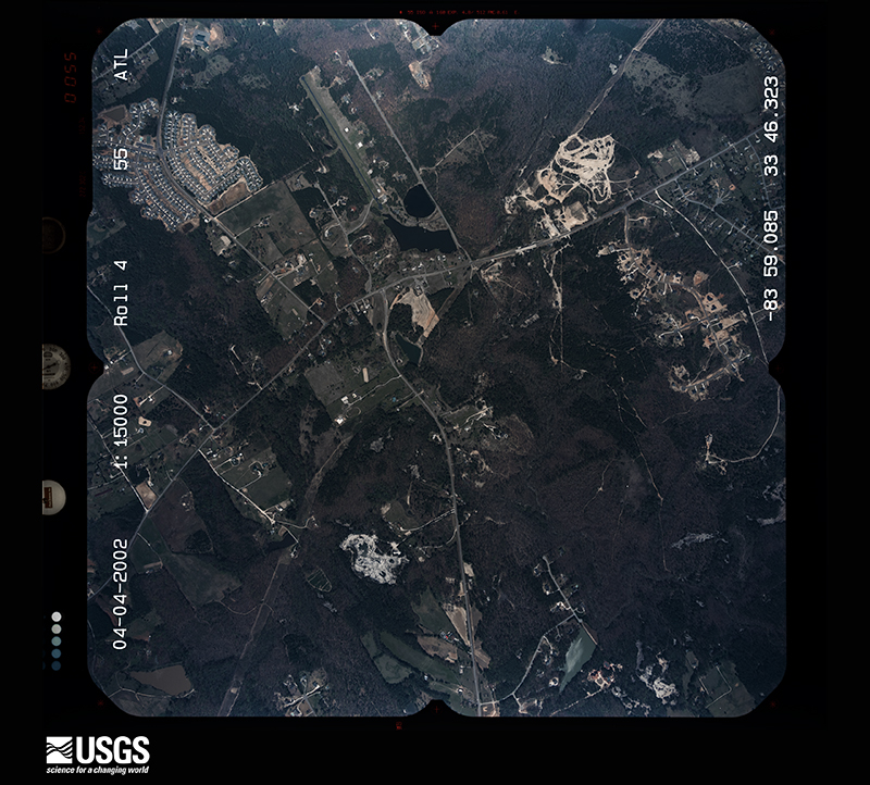
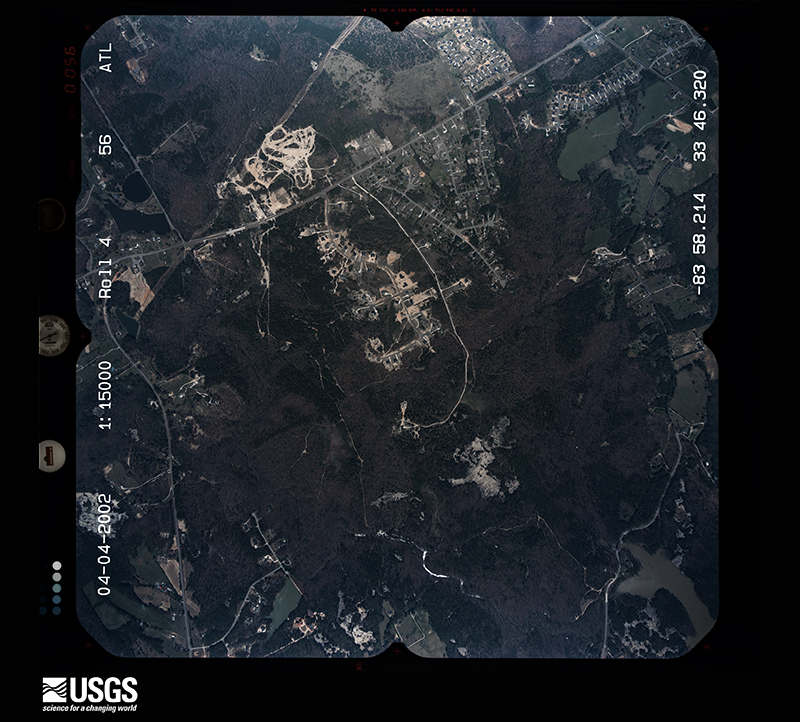
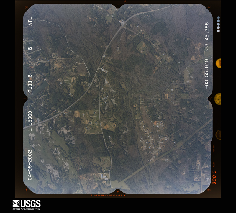
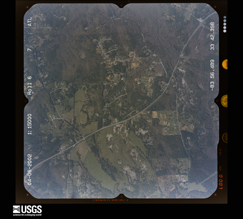
Flown by the U.S. Geological Survey between 1937 and 1989, the Aerial Photo Single Frames collection is the definitive mid-century view of the land: fields, roads and rivers as the camera saw them. The Survey holds 905 frames inside the rectangle that bounds this county; the 36 frames below were taken over the county itself, chosen across the decades of flights (at most four a year from that rectangle), so one flight cannot crowd out the rest. The full set is free to browse and download at EarthExplorer under the dataset Aerial Photo Single Frames.

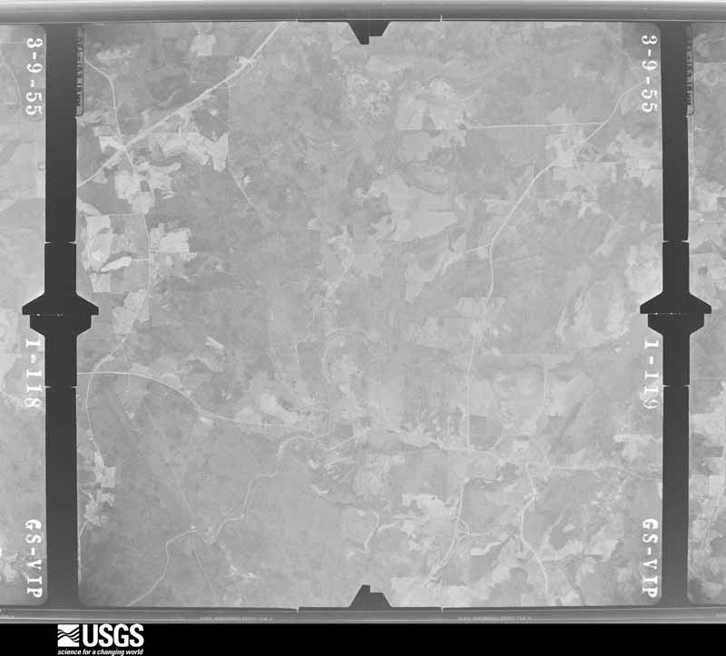
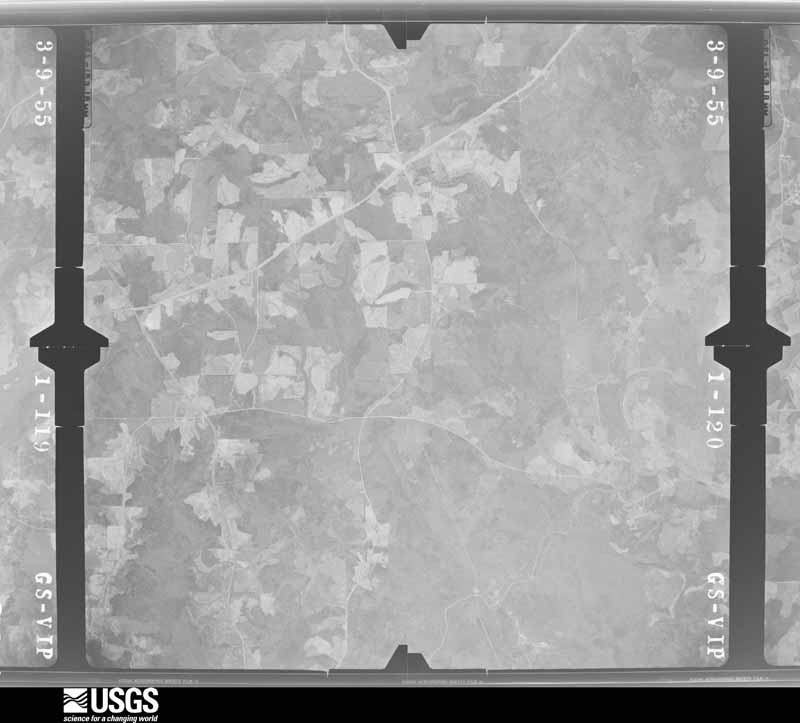


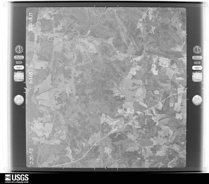
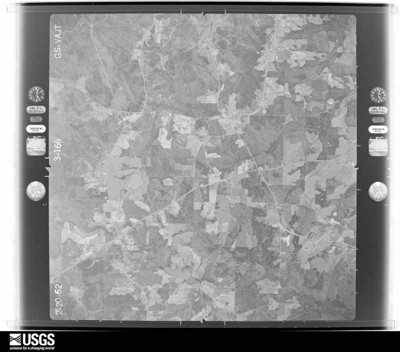














The thermometers that kept this county's weather, and the gages that measured the flow of its streams, as the federal records hold them.
Who lived here in 1950, one enumeration district at a time, as the Census Bureau described each district. Each row opens its official National Archives result, with Population Schedules and ED Maps available there.
Every wildfire the federal occurrence database records inside this county: 370 of them, burning about 829 acres. 15 started naturally and 77 were recorded as arson. Each settlement page carries the fires within five miles of it.
| Reported cause | Fires |
|---|---|
| Debris and open burning | 124 |
| Arson/incendiarism | 77 |
| Misuse of fire by a minor | 53 |
| Missing data/not specified/undetermined | 38 |
| Smoking | 21 |
| Equipment and vehicle use | 21 |
| Recreation and ceremony | 19 |
| Natural | 15 |
| Railroad operations and maintenance | 2 |
The five largest, by the area the report gives. One of them was set deliberately.
| Date | Cause | Size | Reported by | Name on the report |
|---|---|---|---|---|
| 24 March 1996 | Recreation and ceremony | 34 acres | Georgia Forestry Commission | not named |
| 27 January 2001 | Arson/incendiarism | 30 acres | Georgia Forestry Commission | FY2001-ROCKDALE-016 |
| 26 February 2007 | Debris and open burning | 30 acres | Georgia Forestry Commission | not named |
| 31 July 1993 | Debris and open burning | 22 acres | Georgia Forestry Commission | not named |
| 13 March 2007 | Smoking | 21 acres | Georgia Forestry Commission | not named |
| 18 January 1999 | Debris and open burning | 19 acres | Georgia Forestry Commission | not named |
| 26 October 2001 | Debris and open burning | 19 acres | Georgia Forestry Commission | FY2002-ROCKDALE-008 |
| 6 October 2017 | Debris and open burning | 17 acres | Georgia Forestry Commission | FY2018-ROCKDALE-001 |
Every settlement page carries the fires within five miles of it - see the settlement index below.
The NOAA Storm Events Database holds 181 reports for this county, causing no deaths, 2 injuries and about $15,321,150 in recorded property damage. Each settlement page carries the reports that name it.
| Kind of event | Reports |
|---|---|
| Thunderstorm Wind | 108 |
| Hail | 36 |
| Lightning | 18 |
| Flash Flood | 7 |
| Tornado | 6 |
| Funnel Cloud | 2 |
| Heavy Rain | 2 |
| Flood | 2 |
The most serious of them, by death, then injury, then recorded damage. The accounts are quoted exactly as the forecast office filed them.
| When | Event | Place named | Harm | What the report says |
|---|---|---|---|---|
| April 1989 | Thunderstorm Wind | not stated | 2 hurt | no account filed |
| March 2008 | Hail | Conyers | $5,000,000 | Amateur radio operators relayed reports of golf ball to baseball-sized hail across the northern half of Rockdale county. The baseball-sized hail was observed about three miles north of Conyers at the J. H. Elementary school and at several other locations across the northern portion of the county. |
| September 2009 | Flood | Mcelroys Mill | $2,010,000 | Rockdale county emergency management personnel and USGS stream gages confirmed that major to record flooding continued across much of the county. Hundreds of homes, apartments, businesses, and roads sustained damages from flooding. Flood damages peaked across the county during this time frame as many culverts and/or bridges were washed out and several roads were closed. Flood waters began to recede after 230 pm EDT on the 22nd, but many locations remained flooded through 715 am EDT on the 23rd. Monetary damage exceeded $2 million during this time frame. |
| June 2007 | Hail | Conyers | $1,600,000 | Numerous reports of large hail, ranging in size from pennies to golf balls, were received from the public across Rockdale county from Conyers to the southern part of the county near the Henry county line. Golf ball-sized hail was reported in the city of Conyers. |
| March 2008 | Hail | Magnet | $1,000,000 | The public observed golf ball-sized hail in southern Rockdale county near Magnet. |
| September 2009 | Flood | Mcelroys Mill | $990,000 | The Rockdale County Emergency Management Director reported that two subdivisions approximately five miles north of Conyers were evacuated as they were threatened from flood waters of adjacent creeks, streams, and rivers. A third subdivision was put on alert for possible evacuation as well. At least 18 roads across the county were closed. The majority of the closed roads were in the northern portion of the county. Monetary damage to roads and property was estimated to be nearly $1 million. |
| February 2005 | Hail | Conyers | $550,000 | The public reported golf ball-sized hail. |
| March 2005 | Lightning | Conyers | $500,000 | The Macon Telegraph reported that lightning struck and set on fire a historic monestary. The building was built by Trappist Monks more than six decades ago. Three of the building's wings were completely destroyed by the ensuing fire and the fourth was damaged beyond repair. One firefighter suffered injuries while fighting the blaze. |
| January 2007 | Thunderstorm Wind | Conyers | $350,000 | The Rockdale Citizen of Conyers reported that extensive damage occurred to the Rockdale County Highschool and nearby areas. The roof of the press box was shattered and windows were broken in the stadium from high winds. The fence around the baseball field was crushed from a number of downed trees. Several cars in the parking lot were also damaged from trees blown down from thunderstorm winds. Another car was damaged from a downed tree down the street at the C. J. Hicks Elementary school. A number of trees were reported down throughout the county. The Rockdale County 911 Center reported that some of the worst damage was in the Deer Run Lake subdivision in the far south end of the county, southwest of Magnet, where a number of trees and power lines were down. The downed trees and power lines left around 2500 residents without power in the county and several hundred in neighboring Newton county. Damage to the highschool alone was estimated at $172,000. |
| July 2010 | Lightning | Princeton | $250,000 | The Rockdale Citizen of Conyers reported that a home on Costly Mill Road was struck and set on fire by lightning. The home was completely destroyed. |
| June 2007 | Lightning | Conyers | $250,000 | The Rockdale Citizen reported that lightning struck and set on fire a detached garage to a home on Pleasant Hill Road. The garage contained several antique vehicles. The owner managed to get three of the vehicles out of the garage. The remaining vehicles and the garage itself were a total loss. |
| November 2002 | Lightning | Conyers | $250,000 | The Rockdale county Emergency Management Director reported that lightning struck a home in the northeast part of Rockdale county on Hightower Trail. The resulting fire completely destroyed the home and all of its contents. |
| July 2000 | Lightning | Lakeview Estates | $250,000 | The Rockdale Citizen reported that lightning struck the attic of a large home on Lake Rockaway Road. The house was completely destroyed by the resulting fire. |
| October 1989 | Tornado (F2) | not stated | $250,000 | no account filed |
| October 1989 | Tornado (F1) | not stated | $250,000 | no account filed |
| May 1981 | Tornado (F1) | not stated | $250,000 | no account filed |
| July 2005 | Flash Flood | Countywide | $150,000 | The Rockdale Citizen reported that torrential rainfall resulted in at least two roads being washed out. Portions of Flat Shoals Road and McDaniel's Mill Road were washed out. |
| July 2005 | Thunderstorm Wind | Countywide | $150,000 | The Rockdale County 911 Center reported that an extensive number of trees were down across the county. Several trees were down on homes in Conyers, causing damage to the structures. Much of the damage was done in the Lost Valley subdivision. The Rockdale Citizen of Conyers reported extensive wind damage throughout the county. |
| March 2002 | Lightning | Conyers | $150,000 | A storm spotter reported that lightning struck a house and set it on fire. The house was fully engulfed in flames just a short time later. No injuries were reported. |
| December 2015 | Flash Flood | Lakeview Estates | $100,000 | The Rockdale County Emergency Manager reported multiple roads were flooded in the Lake Capri area due to a dam failure on Tom George Lake and flooding from the Yellow River. |
| July 2001 | Lightning | Conyers | $100,000 | The Rockdale Citizen reported that lightning struck a one-story, but rather large home, on Ebenezer Road. The resulting fire destroyed the bonus room and caused extensive damage to the remainder of the structure. The house was rendered unlivable. One firefighter suffered heat exhaustion and required medical treatment. |
| April 2021 | Thunderstorm Wind | Blossom | $50,000 | The Rockdale County Emergency Manager reported numerous trees and power lines blown down across the county in a swath around 5 miles wide from the southwestern reaches of the county northeastward across Conyers into the Zingara area. |
| June 2020 | Thunderstorm Wind | Richardson | $50,000 | The Rockdale County Emergency Manager reported numerous trees and power lines blown down in a swath about 4 to 8 miles wide from southwest to northeast across the entire county. |
| December 2015 | Flash Flood | Lakeview Estates | $50,000 | A USGS stream gauge on the Yellow River at Gees Mill Road or 3 miles east to southeast of Milstead reached flood stage of 11 feet. The river crest at 16.5 feet. Significant flooding affected some roads in the Lake Capri subdivision upstream from the gauge. |
| June 2007 | Lightning | Conyers | $50,000 | The Rockdale Citizen reported that lightning struck and set on fire a mobile home on Pine Lake Court in Lakeview Estates. The family of seven was able to escape without injury. However, the home and its contents were a total loss. The family dog also perished in the fire. |
| July 2005 | Lightning | Conyers | $50,000 | The Rockdale Citizen of Conyers reported that two structures were struck and set on fire by lightning. Damage was minor to moderate. |
| September 2004 | Flash Flood | Countywide | $50,000 | The Rockdale County Emergency Management Director reported minor flooding in the Capri Subdivision near the headwaters of the Yellow River. Several roads were flooded and several homes sustained minor damage as a result. |
| May 2003 | Lightning | Zingara | $50,000 | The public reported that a house was struck by lightning and set on fire. Damage estimates were indeterminate. |
| May 2003 | Lightning | Magnet | $50,000 | The public reported that a house was struck by lightning and set on fire. Damage estimates were indeterminate. |
| July 2000 | Thunderstorm Wind | Conyers | $50,000 | The Rockdale Citizen reported widespread tree damage across the northern part of the county. Trees were reported down on power lines, homes, and automobiles. Most of the damage occurred in the Bethel, Sheffield, Chandler, Fork, Mt Zion, Almond, and Day road areas near Conyers. A vehicle was severely damaged on Bethel Road, and falling trees damaged a boardwalk at Black Shoals Park. In addition, several power poles were broken, including some major poles at a sub-station. |
| July 1995 | Thunderstorm Wind | Conyers | $50,000 | Thunderstorm winds knocked over a concrete wall, damaging a building, ripping shingles from the front of the shopping center. Street lights were also damaged by the winds. |
| November 2002 | Lightning | Conyers | $40,000 | The Rockdale county Emergency Manager reported that lightning struck a home in southwest Rockdale county setting the attic on fire. The fire caused considerable damage to the home. |
| May 2003 | Lightning | Conyers | $25,000 | The Rockdale-Citizen of Conyers reported that lightning struck a home on Miller Bottom Road setting the home on fire. Fire investigators determined that the fire started in the crawl space of the home as the lightning arced over from an iron sewer line to a copper gas line. The lone resident of the house, a 95-year old female (whose 96-year birthday was the next day) was unable to make it to an exit before being overcome of smoke inhalation and subsequently died. |
| July 2000 | Lightning | Conyers | $25,000 | The Rockdale Citizen reported that lightning struck a large storage shed in the 2000 block of Georgia Highway 20, just north of Rockdale Drive. |
| July 2012 | Lightning | Conyers | $20,000 | The Rockdale County 911 Center reported that four lightning fires had been put out at houses in the Conyers area. Only minor damage was reported with each. |
| February 1999 | Lightning | Conyers | $20,000 | A lightning strike entered the basement of a house on Reagan Circle, setting a fire. There was extensive smoke damage. One occupant was taken to the hospital, suffering from smoke inhalation. |
| June 1998 | Thunderstorm Wind | Conyers | $20,000 | Rockdale county 911 reported a roof was blown off a building. Several trees were also blown down across the county. |
| August 2018 | Thunderstorm Wind | Sardum | $15,000 | The Rockdale County Emergency Manager reported a tree and power lines blown down in the 800 block of West Hightower Trail. The tree struck a parked car next to a home. |
| March 2020 | Thunderstorm Wind | Magnet | $12,000 | The Rockdale County Emergency Manager reported several trees blown down across the county. |
| April 2016 | Thunderstorm Wind | Conyers | $12,000 | The Rockdale County 911 center reported several power lines blown down at the corner of Klondike Road and Smyrna Road and trees blown down in the Brandy Shoals area on State Highway 20 south of Conyers. |
| April 2020 | Thunderstorm Wind | Honey Creek | $10,000 | Report of multiple trees down in the Stanton Woods subdivision. |
| August 2020 | Thunderstorm Wind | Honey Creek | $10,000 | The Rockdale County Emergency Manager reported several trees blown down south of Conyers. |
| March 2017 | Thunderstorm Wind | Honey Creek | $10,000 | The Rockdale County Emergency Manager reported multiple trees and power lines blown down along Stanton Road. |
| June 2015 | Thunderstorm Wind | Magnet | $10,000 | The Rockdale County 911 Center reported numerous trees down across the county with most concentrated area around Bailey Road and State Road 212. |
| May 1995 | Thunderstorm Wind | Conyers | $10,000 | Thunderstorm winds knocked down numerous tree limbs across the county particularly 10 miles south of Conyers where a home was damaged, eight miles south of Conyers along Union Church Road where several limbs were on the ground, four homes and one store sustained damage in the county. |
| October 2019 | Thunderstorm Wind | Honey Creek | $8,000 | The Rockdale County Emergency Manager reported trees and power lines blown down over the southwestern half of the county, including along Colonial South Drive SW, around the intersection of Smyrna Road SW and Granade Road SW, around the intersection of Lenox Drive SE and Lenox Road SE, and near the intersection of Benji Boulevard SE and McCalla Road SE. |
| April 2019 | Thunderstorm Wind | Magnet | $8,000 | The Rockdale County 911 center reported trees blown down on Cedar Brook Drive SE, Lost Valley Trail SE, McCalla Road, and Pine Knoll Lane NE. |
| April 2017 | Thunderstorm Wind | Richardson | $8,000 | The Rockdale County Emergency Manager reported power lines blown down on East Fairview Road. |
| July 2007 | Lightning | Magnet | $8,000 | The Rockdale Citizen of Conyers reported that lightning struck a home on Georgia Highway 20 entering the house via metallic water and gas lines. A portion of the floor of the home was damaged. |
| June 2016 | Thunderstorm Wind | Honey Creek | $7,000 | The Rockdale County Emergency Manager reported trees and power lines blown down along Highway 138 at Ebenezer Road and at Flat Shoals Road. |
| April 2020 | Thunderstorm Wind | Velta | $6,000 | Multiple trees reported down on Ellington Road SE. |
| June 2023 | Thunderstorm Wind | Richardson | $5,000 | Emergency Manager reported several trees down along E Fairview Rd. |
| June 2023 | Thunderstorm Wind | Camp Smyrna | $5,000 | Emergency manager reported down along Flat Bridge Road and Union Church Road. |
| May 2020 | Thunderstorm Wind | Conyers | $5,000 | The Rockdale County Emergency Manager reported several trees blown down on Ebenezer Road, just south of Johnson Park. |
| August 2020 | Thunderstorm Wind | Honey Creek | $5,000 | The Rockdale County Emergency Manager reported trees blown down from south of Conyers along Honey Creek Road to north of Conyers on South Hicks Circle NW. |
| September 2018 | Thunderstorm Wind | Milstead | $5,000 | An off-duty National Weather Service employee reported multiple trees blown down along I-20 near Salem Road. |
| May 2008 | Tornado (EF0) | Magnet | $5,000 | A survey conducted by the National Weather Service in Peachtree City, Georgia confirmed that the EF2 tornado, which originally touched down in northeast Clayton county and then tracked across northern Henry county, continued into southern Rockdale county and then into western Newton county before finally lifting. The tornado entered Rockdale county just north of Union Springs and tracked east-southeast toward the city of Magnet on the Newton county line. The tornado weakened to an EF0 as it entered Henry county and continued as an EF0 across Rockdale and Newton. Damage was confined to an intermittent tree and power line damage along the tornado track, much of which occurred along or near Georgia Highway 212 and Oglesby Bridge Road where from 10 to 20 trees were down. No structural damage was reported from this tornado within Rockdale county. |
| August 2007 | Thunderstorm Wind | Lakeview Estates | $5,000 | The Rockdale County 911 Center reported that a good number of trees were down across much of the county. The area most likely to have seen the most tree damage was from north of Lakeview Estates near the DeKalb county border to west-southwest of Conyers. |
| February 2001 | Thunderstorm Wind | Conyers | $5,000 | A storm spotter reported that power lines and trees were blown down in Conyers. A local sheriff reported seeing a tornado in the area, but there was no confirmation of a tornado touchdown. |
| June 1998 | Thunderstorm Wind | Conyers | $5,000 | The public reported trees down and shingles blown off a house in the southern part of the county. |
The Survey's mineral resources record lists 2 workings inside this county. 1 still produces and 1 is closed or unrecorded. Each settlement page carries the workings within five miles of it.
| Commodity | Workings |
|---|---|
| Mica | 1 |
| Stone, Crushed/Broken | 1 |
The least common of them first, because a county's hundredth gravel pit says nothing its first ten did not.
| Where | Site | Commodity | Status | Recorded |
|---|---|---|---|---|
| Jack Bell Prospect | Mica | Prospect | ||
| Lithonia Quarry | Stone, Crushed/Broken | Producer |
Named settlements recorded in the Geographic Names Information System, each with the topographic sheets covering it. Villages, hamlets and abandoned places alike. Each is shown with the nearest named watercourse or landform and the survey quadrangle it falls on. The 1 place that was also surveyed for fire insurance comes first, with the number of atlases and photographs held for them.
Conyers census division · 30012 · On Tanyard Branch · Conyers quadrangle
21 sheets, 1888 to 1999
Fire insurance: 7 atlases
South Rockdale census division · 30094 · On Rock Creek · Kelleytown quadrangle
18 sheets, 1888 to 1981
No longer a settlement
Conyers census division · 30013 · On Almand Creek · Porterdale quadrangle
18 sheets, 1896 to 1988
No longer a settlement
North Rockdale census division · 30012 · On Carr Branch · Milstead quadrangle
20 sheets, 1896 to 1999
South Rockdale census division · 30094 · Kelleytown quadrangle
18 sheets, 1888 to 1981
No longer a settlement
Conyers census division · 30012 · On Shipley Branch · Conyers quadrangle
21 sheets, 1888 to 1999
Conyers census division · 30012 · On Hammock Creek · Conyers quadrangle
21 sheets, 1888 to 1999
North Rockdale census division · 30012 · On Little Panther Creek · Loganville quadrangle
16 sheets, 1896 to 1988
Conyers census division · 30012 · On Boar Tusk Branch · Milstead quadrangle
20 sheets, 1896 to 1999
Conyers census division · 30094 · On Soggy Bottom Creek · Conyers quadrangle
21 sheets, 1888 to 1999
No longer a settlement
North Rockdale census division · 30052 · On Winfield Creek · Milstead quadrangle
20 sheets, 1896 to 1999
No longer a settlement
North Rockdale census division · 30012 · Snellville quadrangle
22 sheets, 1888 to 1999
No longer a settlement
South Rockdale census division · 30094 · On Almand Creek · Kelleytown quadrangle
18 sheets, 1888 to 1981
North Rockdale census division · 30012 · On Little Panther Creek · Milstead quadrangle
20 sheets, 1896 to 1999
The vanished settlements of Rockdale County: the places named above that are no longer on the map.
21 topographic sheets and 7 fire insurance atlases, 1884 to 1945