 Block
From the record
2 National Register listings published here.
Sources: the National Register database, National Park Service
10 topographic sheets cover 6 settlements here, and 2 properties are on the National Register of Historic Places.
2 National Register listings published here.
Sources: the National Register database, National Park Service
Every property in this county listed on the National Register of Historic Places, with the year it was listed and the federal nomination document.
| Photograph | Property | Type | Listed | Reference |
|---|---|---|---|---|
 | Schley County Courthouse | building | 1980 | 80001230 |
| Woodall-Patton House and Post Office | building | 2002 | 01001432 |
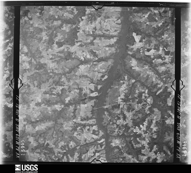
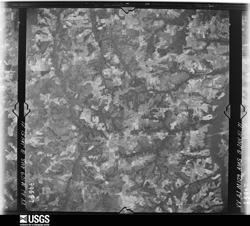
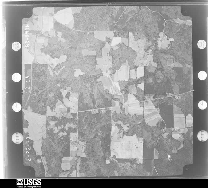
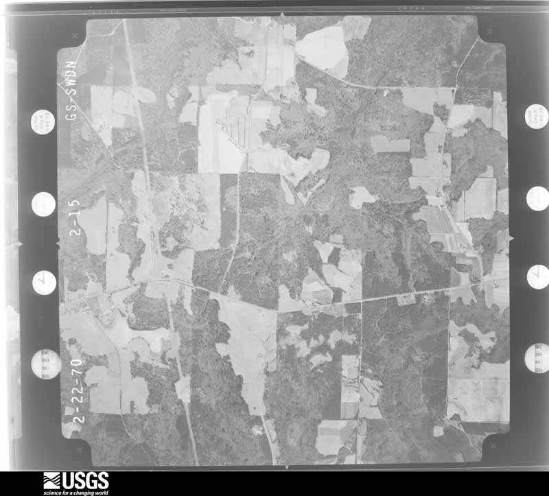
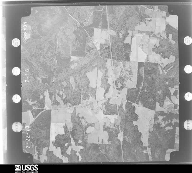
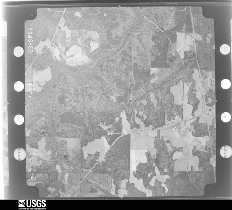
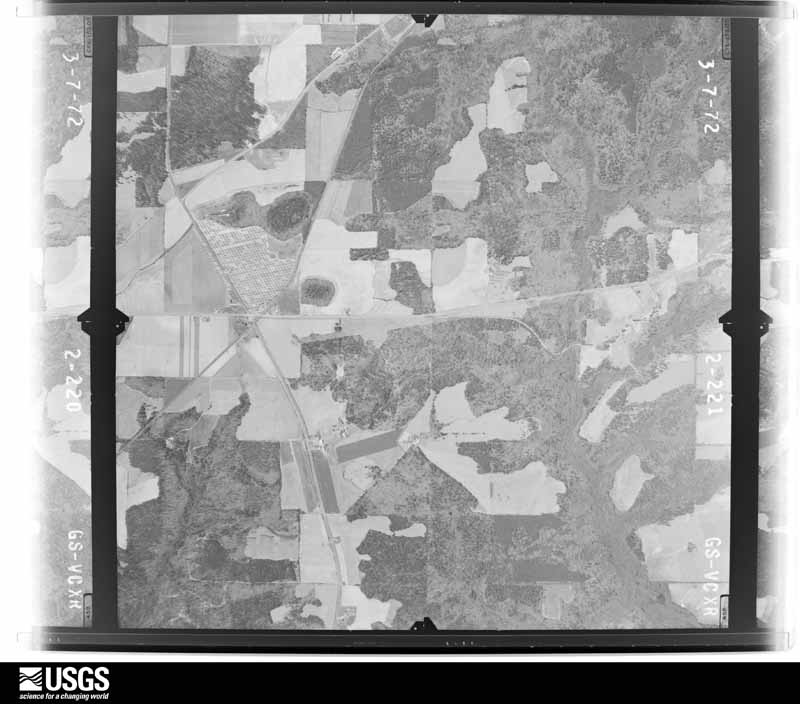
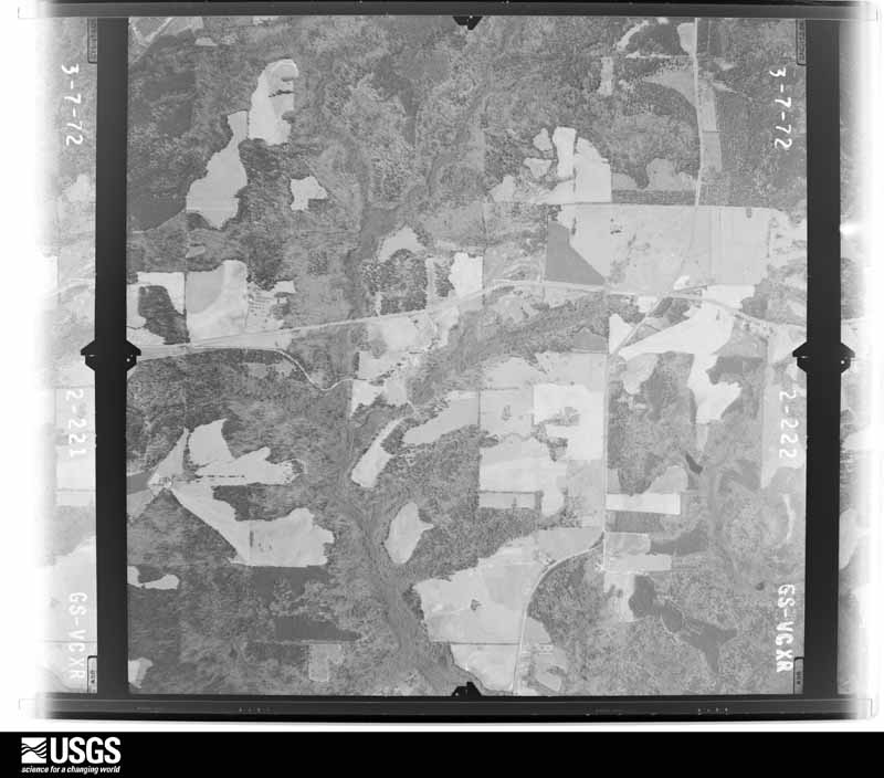
Flown by the U.S. Geological Survey between 1937 and 1989, the Aerial Photo Single Frames collection is the definitive mid-century view of the land: fields, roads and rivers as the camera saw them. The Survey holds 279 frames inside the rectangle that bounds this county; the 12 frames below were taken over the county itself, chosen across the decades of flights (at most four a year from that rectangle), so one flight cannot crowd out the rest. The full set is free to browse and download at EarthExplorer under the dataset Aerial Photo Single Frames.




The thermometers that kept this county's weather, as the federal records hold them.
Who lived here in 1950, one enumeration district at a time, as the Census Bureau described each district. Each row opens its official National Archives result, with Population Schedules and ED Maps available there.
Every wildfire the federal occurrence database records inside this county: 379 of them, burning about 1,840 acres. 27 started naturally and 27 were recorded as arson. Each settlement page carries the fires within five miles of it.
| Reported cause | Fires |
|---|---|
| Debris and open burning | 237 |
| Equipment and vehicle use | 34 |
| Arson/incendiarism | 27 |
| Natural | 27 |
| Recreation and ceremony | 18 |
| Misuse of fire by a minor | 15 |
| Missing data/not specified/undetermined | 12 |
| Smoking | 9 |
The five largest, by the area the report gives. None of them was recorded as arson.
| Date | Cause | Size | Reported by | Name on the report |
|---|---|---|---|---|
| 11 March 2009 | Debris and open burning | 166 acres | Georgia Forestry Commission | WELCHER ROAD |
| 16 June 1995 | Natural | 154 acres | Georgia Forestry Commission | not named |
| 13 April 2014 | Debris and open burning | 123 acres | Georgia Forestry Commission | FY2014-SCHLEY-013 |
| 12 March 2005 | Debris and open burning | 67 acres | Georgia Forestry Commission | not named |
| 25 February 1996 | Debris and open burning | 62 acres | Georgia Forestry Commission | not named |
| 7 February 2009 | Debris and open burning | 48 acres | Georgia Forestry Commission | not named |
| 19 June 2008 | Equipment and vehicle use | 45 acres | Georgia Forestry Commission | not named |
| 28 October 1998 | Debris and open burning | 44 acres | Georgia Forestry Commission | not named |
Every settlement page carries the fires within five miles of it - see the settlement index below.
The NOAA Storm Events Database holds 72 reports for this county, causing 2 deaths, 8 injuries and about $1,899,550 in recorded property damage. Each settlement page carries the reports that name it.
| Kind of event | Reports |
|---|---|
| Thunderstorm Wind | 42 |
| Hail | 20 |
| Tornado | 7 |
| Funnel Cloud | 1 |
| Flood | 1 |
| Lightning | 1 |
The most serious of them, by death, then injury, then recorded damage. The accounts are quoted exactly as the forecast office filed them.
| When | Event | Place named | Harm | What the report says |
|---|---|---|---|---|
| April 1957 | Tornado (F2) | not stated | 2 killed, 3 hurt, $250,000 | no account filed |
| December 1954 | Tornado (F2) | not stated | 4 hurt, $250,000 | no account filed |
| January 1963 | Tornado (F2) | not stated | 1 hurt, $250,000 | no account filed |
| April 2017 | Tornado (EF1) | Walls Crossing | $500,000 | A National Weather Service survey team found that an EF1 tornado with maximum wind speeds of 105 MPH and a maximum path width of 200 yards touched down west of Ellaville near a small farm south of Chancey Drive. The tornado moved east snapping and uprooting trees along its path south of Chancey Drive into southern Ellaville. The tornado snapped and uprooted dozens of trees as it crossed Pinefield Drive and Ridgewood Drive where several homes were impacted. The tornado continued east crossing Ebenezer Road and travelling along Pine Circle snapping trees and causing roof damage to homes. The tornado crossed South Callaway Drive and Broad Street where a large metal building collapsed onto peanut storage bins. The |tornado then turned southeast hitting a large warehouse and mobile home manufacturer. A metal building was heavily damaged and several new mobile homes were overturned in a holding lot. The tornado then turned east once again crossing Highway 19 and paralleling Highway 228, snapping a few trees, before lifting west of Lacross Road. In total, more than 40 homes were damaged with 3 destroyed by falling trees. Twelve businesses sustained damage of varying degrees and the entire town of Ellaville was without power for more than 24 hours. No injuries were reported. [04/03/17: Tornado #13, County #1/1, EF-1, Schley, 2017:45]. |
| November 1997 | Tornado (F1) | Ellaville | $250,000 | A state of emergency was declared in Schley county where 103 people were displaced due to the storm. In Ellaville, 5 mobile homes were destroyed, 17 homes and 11 other mobile homes sustained minor to moderate damage, and 19 vehicles were damaged or destroyed. The EMA director reported 500 trees were downed and power outages occurred throughout the town. |
| March 2009 | Tornado (EF0) | Walls Crossing | $125,000 | The Marion County Emergency Management Director reported that the tornado, which began in eastern Marion county approximately two miles northwest of Putnam, continued on a two-mile east-northeastward track into extreme western Schley county. The tornado lifted approximately 2.1 miles northwest of Walls Crossing. The tornado continued to have a maximum path width in Schley county of 100 yards. Within Schley county, nearly 500 trees were either snapped or uprooted along the brief 1/2 mile long path. No structural damage was reported within Schley county. |
| April 2011 | Thunderstorm Wind | Murrays Xrds | $50,000 | The Schley County Sheriff's Office reported widespread downed trees and several power lines across the county. At least a dozen trees were down across the county. Three structures sustained damage from downed trees. |
| May 2003 | Thunderstorm Wind | Ellaville | $50,000 | The Schley county newspaper reported that a number of trees were split off or broken off. Some of these trees landed on and caused damage to the Supervised Probation Inc. office. Sixty-percent of the roof caved in. Consequently, the building also suffered some water damage. |
| July 2016 | Lightning | Murrays Xrds | $25,000 | The Schley County Emergency Manager reported an abandoned house off of Highway 240 East at Blan Wall Road was struck by lightning and burned to the ground. |
| March 1961 | Tornado (F2) | not stated | $25,000 | no account filed |
| June 2023 | Thunderstorm Wind | Ellaville | $12,000 | Approximately a dozen trees down across roadways within Ellaville City Limits. |
| December 2021 | Thunderstorm Wind | Ellaville | $11,000 | EM reported 11 trees were downed around SE Schley county. |
| June 2006 | Thunderstorm Wind | Ellaville | $10,000 | The Schley County Emergency Management Director reported that several trees were down in the area around Ellaville. A portion of a tree fell on a house in Ellaville and caused damage to the structure. |
| August 2002 | Thunderstorm Wind | Ellaville | $10,000 | The Schley county sheriff reported that about 15 trees were down, some blocking roads. One tree was down on a home as well. This information was also confirmed by the Americus Times-Recorder. |
| September 1998 | Thunderstorm Wind | Ellaville | $10,000 | A newspaper reported trees were toppled and a porch was torn off a mobile home in the northern part of Schley county. |
| May 2020 | Thunderstorm Wind | Ellaville | $5,000 | The Schley County Emergency Manager reported 4 trees blown down onto power lines in Ellaville. |
| June 2016 | Thunderstorm Wind | Concord | $5,000 | The Schley County 911 center reported several trees blown down around Ellaville including one on Concord Church Road and one on Old Highway 19 South as well as several more around the intersection of Highway 153 and Dosier Road. |
| July 2016 | Thunderstorm Wind | La Crosse | $5,000 | The Schley County Emergency Manager reported trees blown down across the county, including along Highway 26 near the Marion County line, around the intersection of Concord Church Road and Bridges Store Road, Highway 153 southwest of Ellaville and at Highway 19 and Heath Road. |
| April 2015 | Thunderstorm Wind | La Crosse | $5,000 | The Schley County 911 center reported several trees and power lines down on Heath road and several more trees down near Highway 271 and Highway 19. |
| May 2006 | Thunderstorm Wind | Countywide | $5,000 | The Schley County 911 Center and Emergency Management Director reported that thunderstorm winds had blown down many trees and a number of power lines throughout the county. |
| February 1993 | Thunderstorm Wind | not stated | $5,000 | Numerous trees, limbs, and power lines were downed. Numerous power outages were reported in Ellaville. |
| August 2020 | Thunderstorm Wind | Concord | $4,000 | The Schley County 911 center reported trees blown down west of Ellaville from around the intersection of Concord Church Road and Highway 26 to around the intersection of Ebenezer Road and Marvin Murphy Road. |
| June 2019 | Thunderstorm Wind | Ellaville | $3,000 | The Schley County Emergency Manager reported power lines blown down in Ellaville from Deerfield Circle to North Thompson Street. |
| July 2011 | Thunderstorm Wind | La Crosse | $3,000 | The Schley County Regional 911 Center reported that at least five trees were down near Ellaville and one tree was down near LaCrosse. In addition, several shingles were blown off a home in Ellaville. |
| December 2009 | Flood | Walls Crossing | $3,000 | The Schley County Emergency Management Director reported minor flooding of some roads and property across the county, mostly adjacent to overflowing creeks and streams. Monetary damage was confined to minor debris removal in these areas. |
| February 2008 | Thunderstorm Wind | Ellaville | $3,000 | The Schley County 911 Center reported that several trees were blown down across Georgia Highway 26 northeast of Ellaville and also south of Ellaville on U.S. Highway 19. |
| April 1998 | Thunderstorm Wind | Ellaville | $3,000 | Thunderstorm winds knocked numerous trees down along highway 19 causing power outages. |
| December 2005 | Hail | Concord | $2,500 | The Schley County Emergency Manager reported golf ball-sized hail in the northwest part of the county along Shiloh Road. |
| July 2016 | Thunderstorm Wind | Concord | $2,000 | The Schley County 911 center reported trees blown down in the far northern portion of the county. |
| May 2012 | Thunderstorm Wind | Walls Crossing | $2,000 | A Schley County Sheriff Deputy reported that seven trees were blown down at Highway 26 and Stevens Road about five miles west of Ellaville. |
| May 2009 | Thunderstorm Wind | Murrays Xrds | $2,000 | The Schley County 911 Center reported that several trees were down in the far northern part of the county between Murray's Crossroads and the Taylor/Crawford county borders. |
| February 2008 | Thunderstorm Wind | La Crosse | $2,000 | The Schley County 911 Center reported that a number of trees were blown down in the east and southeast part of the county, especially along Georgia Highway 26 east of Ellaville. |
| May 2008 | Thunderstorm Wind | Murrays Xrds | $2,000 | The Schley County 911 Center reported that several trees were down within the county, especially in Ellaville. |
| March 2007 | Thunderstorm Wind | La Crosse | $2,000 | The Schley County Emergency Management Director reported that between 5 and 15 trees were down the far southeast part of the county near the Sumter county line. |
| June 2025 | Thunderstorm Wind | Walls Crossing | $1,000 | Powerlines downed at the intersection of Trice and Raybon Road. |
| June 2023 | Thunderstorm Wind | Concord | $1,000 | Tree down along Concord Church Rd near Buck Creek. |
| July 2023 | Thunderstorm Wind | Ellaville | $1,000 | Powerlines down at intersection of East Oglethorpe Street and Hayes Avenue. |
| June 2023 | Thunderstorm Wind | Concord | $1,000 | Along Concord Church Rd near Buck Creek. |
| June 2011 | Thunderstorm Wind | Murrays Xrds | $1,000 | The Schley County 911 Center reported that three trees were down across the county. |
| June 1996 | Thunderstorm Wind | Ellaville | $1,000 | no account filed |
| April 2005 | Thunderstorm Wind | Murrays Xrds | $500 | The Schley County Fire and Rescue Department reported that a couple of trees were down on Georgia Highway 240 near Murrays Crossroads. |
| March 1993 | Thunderstorm Wind | Schley | $500 | Several large tree limbs toppled by thunderstorm winds downed several power lines which caused sporadic power outages thoughout the county. |
| March 1996 | Thunderstorm Wind | Ellaville | $500 | no account filed |
| July 1995 | Thunderstorm Wind | Ellaville | $300 | Thunderstorm winds knocked two trees down on Concord Road. |
| September 2014 | Thunderstorm Wind | La Crosse | $250 | The 911 center reported a tree fell on Candy Cane Lane. |
| March 2024 | Hail | Ellaville | - | Up to quarter-sized hail observed near the intersection of Broad Street and Hwy 26. |
| May 2024 | Hail | Ellaville | - | Quarter-size hail at GA-26 and N Broad St . |
| April 2023 | Hail | Ellaville | - | Received multiple reports of 1 inch hail in city limits of Ellaville GA. |
| March 2023 | Hail | La Crosse | - | Half dollar sized hail reported along HWY 228 near LaCross Rd. |
| August 2020 | Hail | Ellaville | - | A report of hail the size of quarters falling on the west side of Ellaville was received over social media. |
| December 2015 | Hail | Concord | - | The public reported quarter sized hail in extreme northern Schley County. |
| April 2009 | Funnel Cloud | Ellaville | - | The public observed a funnel cloud near Ellaville. Doppler radar data clearly indicated a strong mesoscale circulation passing just south of Ellaville at the time. |
| April 2009 | Hail | Ellaville | - | The public observed quarter-sized hail around Ellaville. |
| February 2008 | Hail | Ellaville | - | The Schley County 911 Center reported penny-sized hail. |
| April 2007 | Hail | Ellaville | - | The Schley County 911 Center reported penny-sized hail. |
| April 2006 | Hail | Ellaville | - | The public reported nickel-sized hail in the southwest part of Schley county and penny-sized hail in Ellaville. |
| April 2005 | Hail | Ellaville | - | The Schley County 911 Center reported penny-sized hail. |
| April 2005 | Hail | Ellaville | - | The Schley County 911 Center reported penny-sized hail. |
| May 2003 | Hail | Ellaville | - | The Ellaville Police Department reported penny-sized hail. |
| May 2003 | Hail | Ellaville | - | The Schley county Sheriff reported quarter-sized hail. |
The Survey's mineral resources record lists 4 workings inside this county. None of them still produces: all are closed or unrecorded. Each settlement page carries the workings within five miles of it.
| Commodity | Workings |
|---|---|
| Aluminum | 3 |
| Kaolin | 2 |
| Aluminum, Kaolin | 1 |
The least common of them first, because a county's hundredth gravel pit says nothing its first ten did not.
| Where | Site | Commodity | Status | Recorded |
|---|---|---|---|---|
| Andersonville Bauxite District | Aluminum, Kaolin | Past Producer | SEDIMENTARY | |
| G.W. Holloway Property | Aluminum, Kaolin | Prospect | ||
| W.H. Childers Property | Aluminum, Kaolin | Prospect | ||
| Williams Property | Aluminum | Prospect |
Named settlements recorded in the Geographic Names Information System, each with the topographic sheets covering it. Villages, hamlets and abandoned places alike. Each is shown with the nearest named watercourse or landform and the survey quadrangle it falls on.
Ellaville North census division · 31806 · Ellaville South quadrangle
7 sheets, 1955 to 1981
Ellaville North census division · 31806 · On Usry Creek · Ellaville North quadrangle
8 sheets, 1955 to 1981
Ellaville North census division · 31806 · Ellaville North quadrangle
8 sheets, 1955 to 1981