 Block
From the record
5 National Register listings published here.
Sources: the National Register database, National Park Service
44 topographic sheets and 2 fire insurance atlases across 1 place.
5 National Register listings published here.
Sources: the National Register database, National Park Service
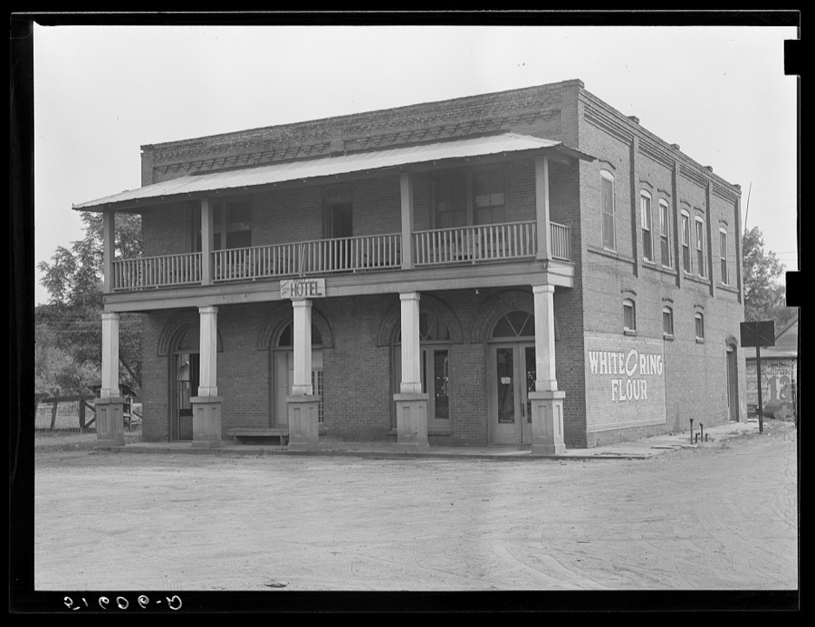
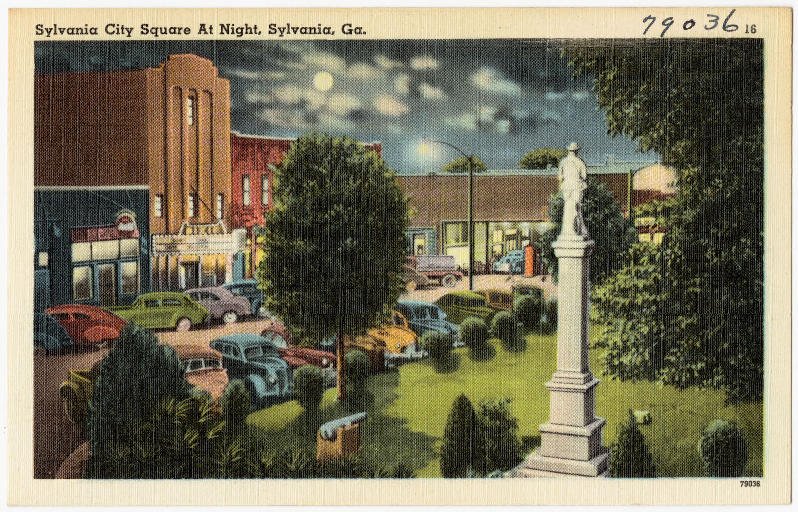
Taken for the Office of War Information and the Farm Security Administration, who photographed the country between 1935 and 1944. Works of United States government photographers, with no known restriction on use. Each opens its catalogue record.
Every property in this county listed on the National Register of Historic Places, with the year it was listed and the federal nomination document.
| Photograph | Property | Type | Listed | Reference |
|---|---|---|---|---|
| Brier Creek Battlefield | district | 2020 | 100004899 | |
 | Georgia Welcome Center | building | 2011 | 11000959 |
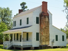 | Seaborn Goodall House | building | 1977 | 77000443 |
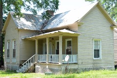 | Harris-Murrow-Trowell House | building | 2009 | 09000187 |
| Samuel Shepard Lines House | building | 1983 | 83000240 |
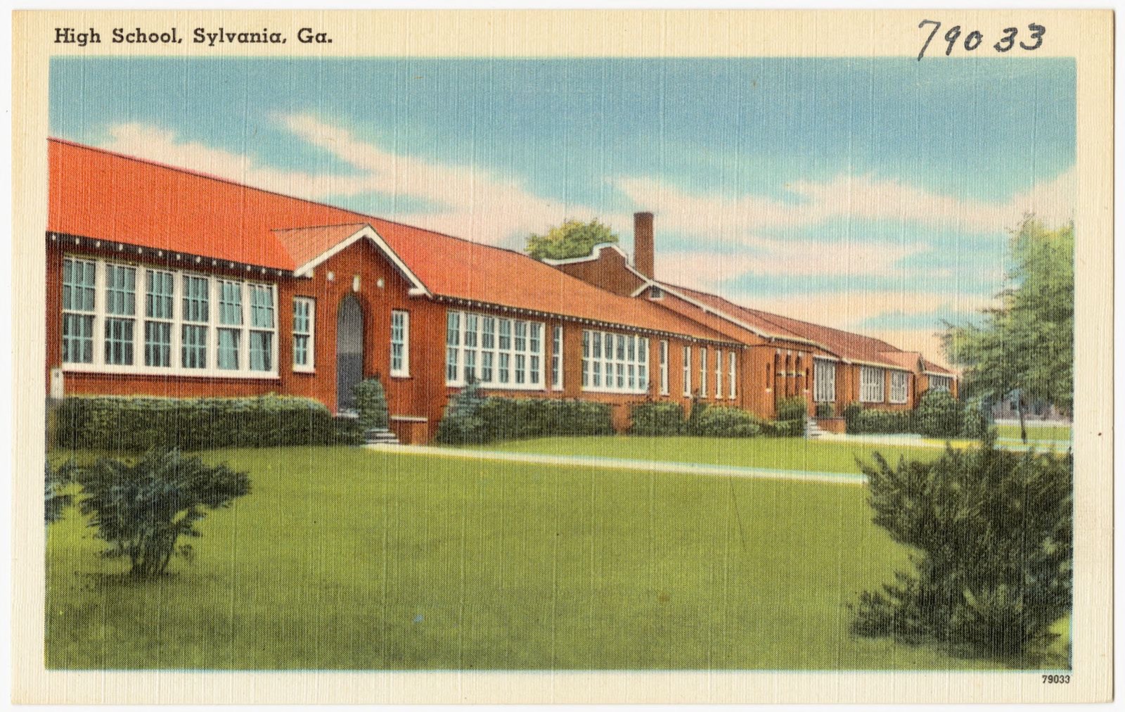
Selected from the Digital Public Library of America's 6 image records catalogued for this county. Every one shown here carries a public-domain status or a licence that permits reuse on a site that carries advertising; non-commercial, share-alike and restricted images are excluded. The selection is spread across the county's towns (at most eight per town), so no single institution's bulk upload crowds out the rest. Each opens the holding library's record, and the complete set at the Digital Public Library of America is one click away.




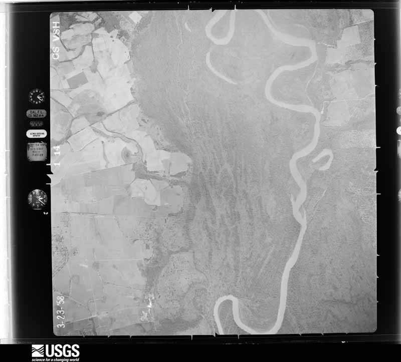
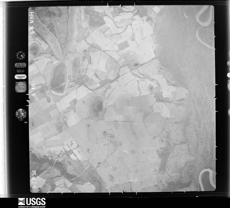
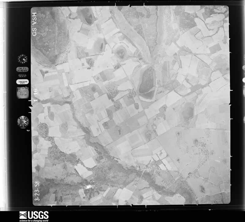
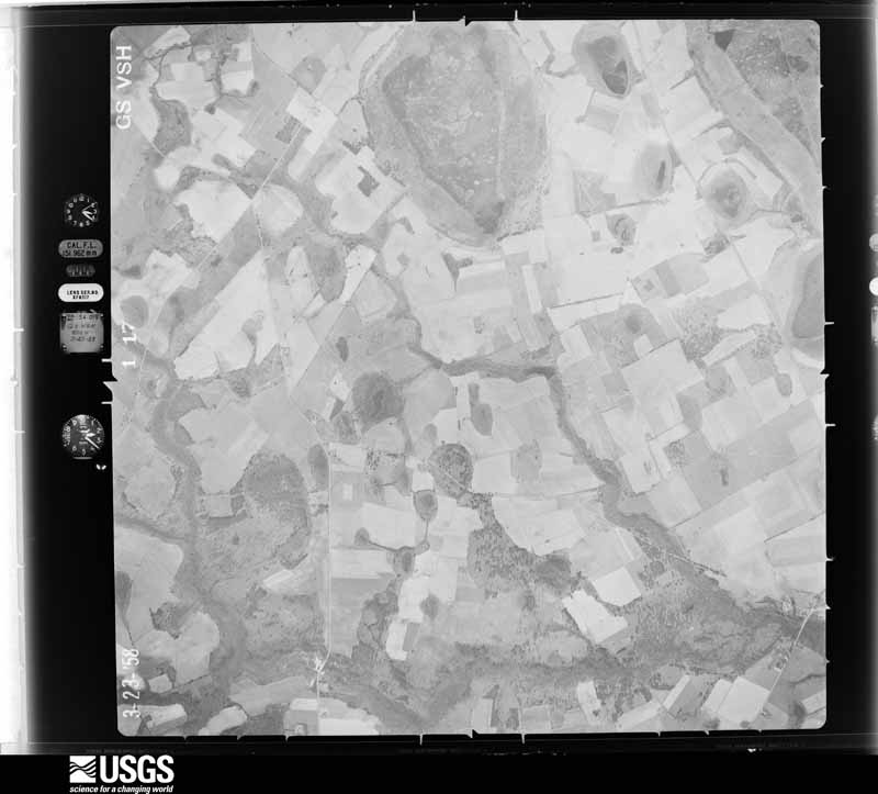
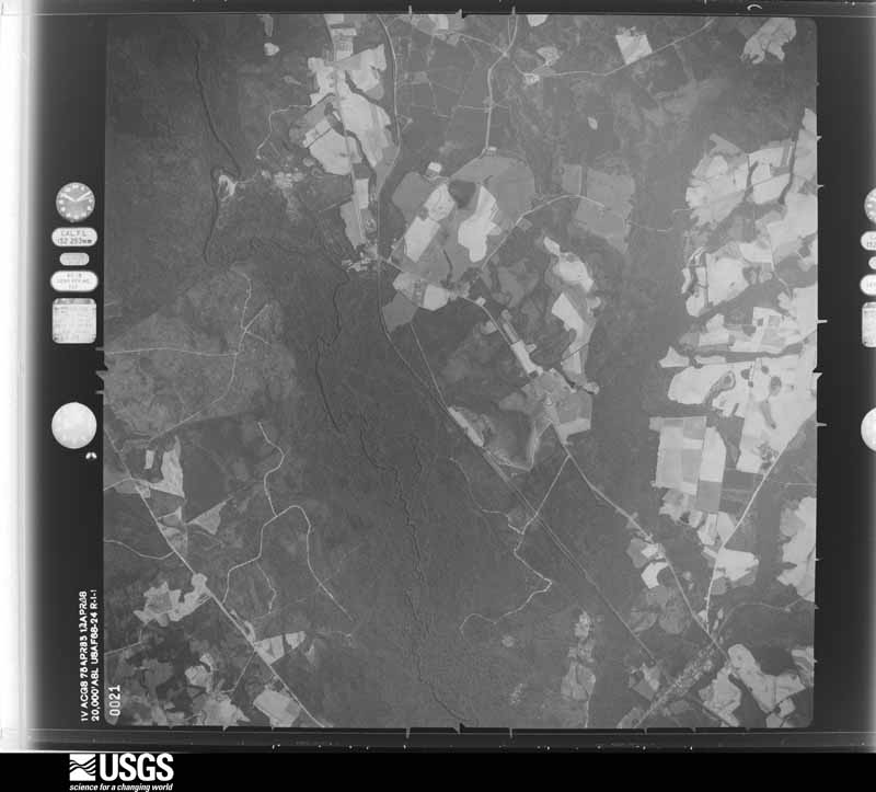
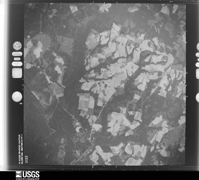
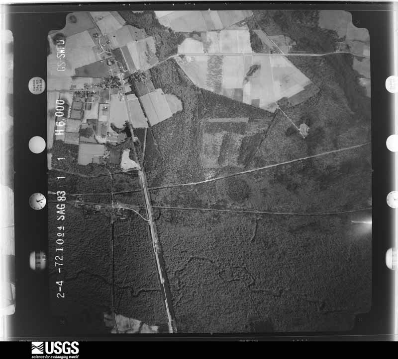
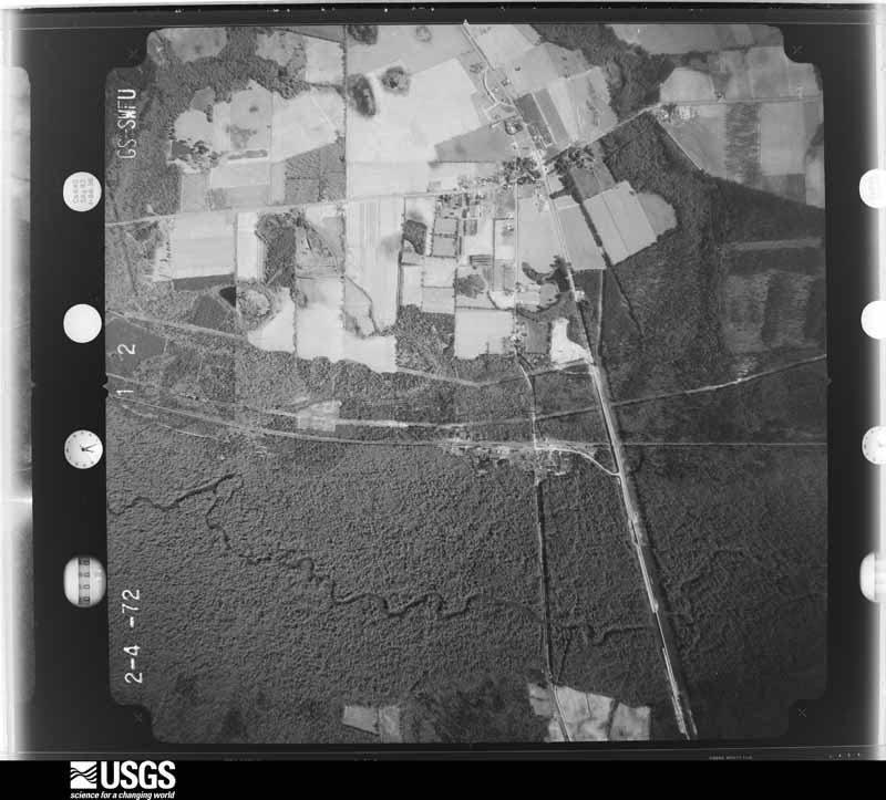
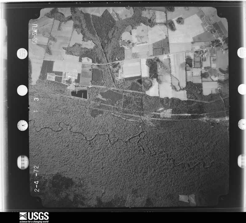
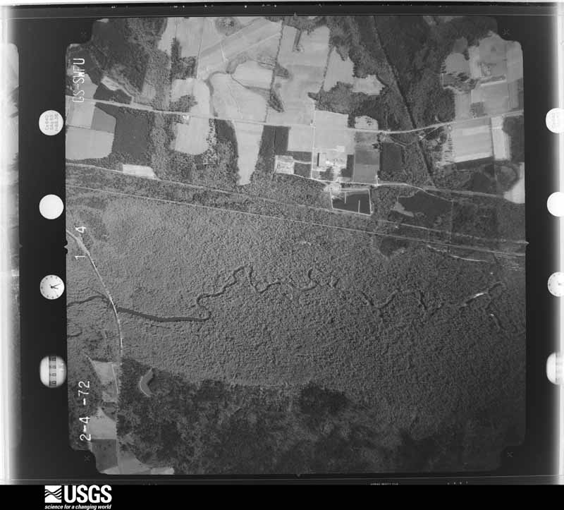
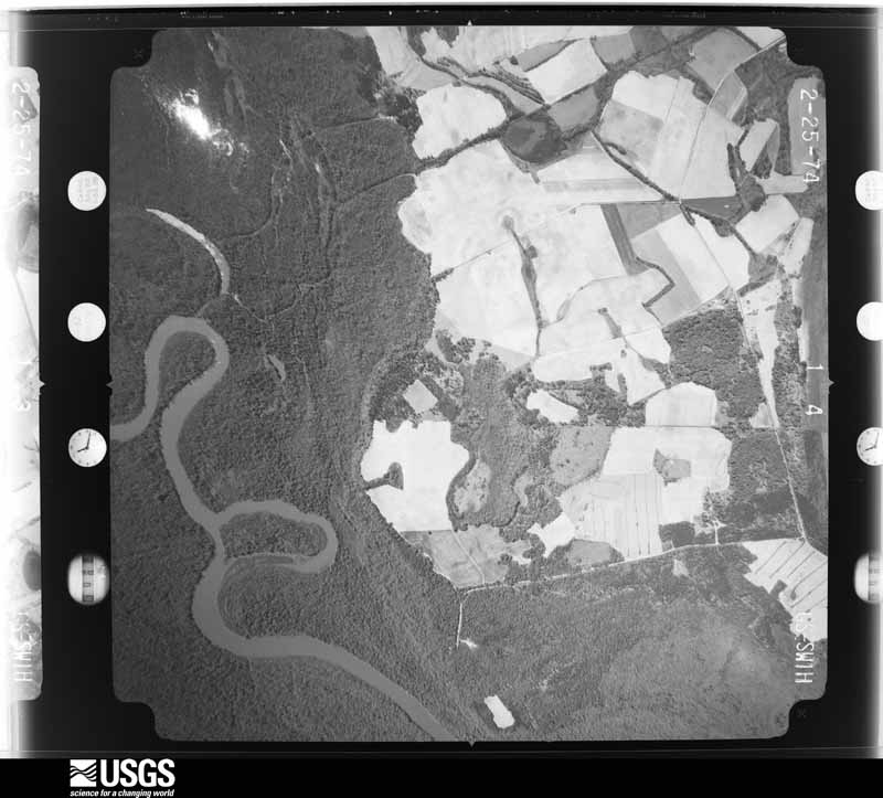
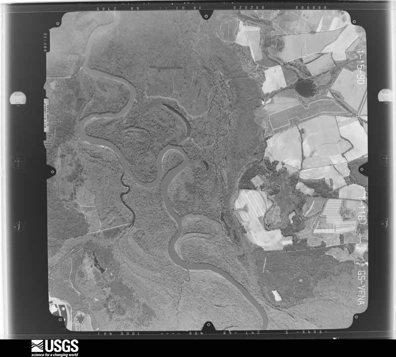
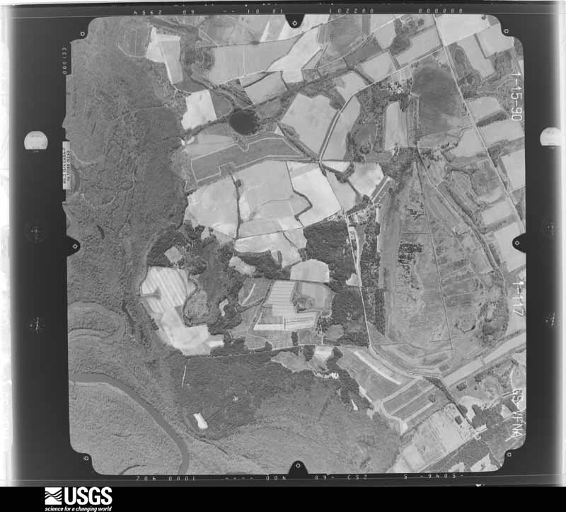
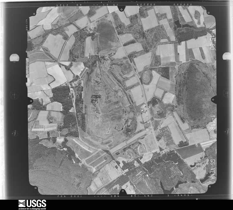
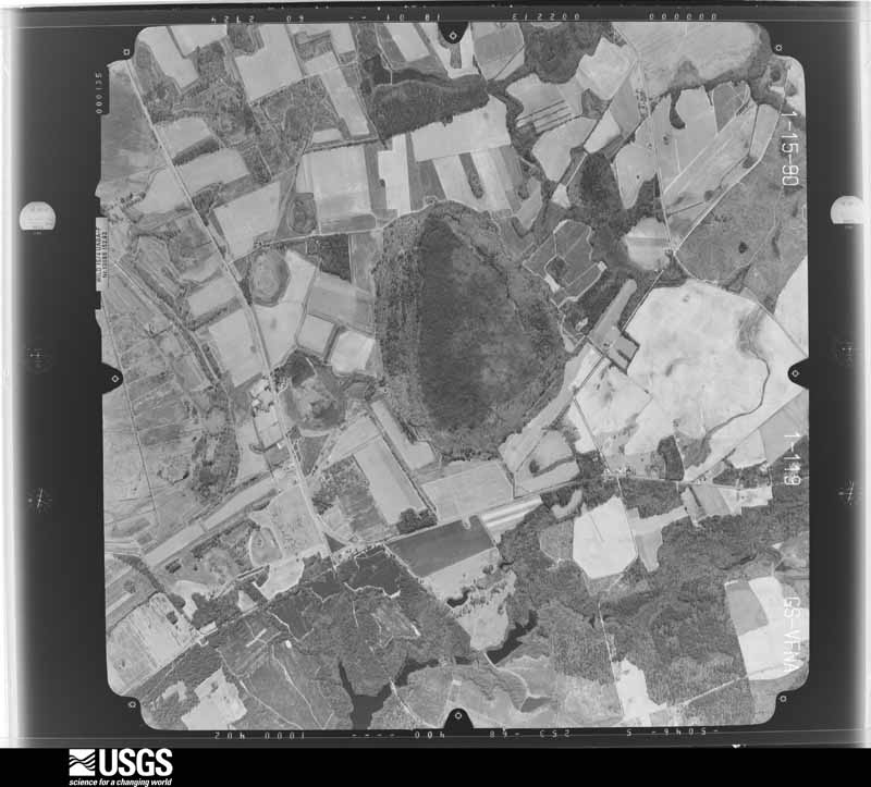
Flown by the U.S. Geological Survey between 1937 and 1989, the Aerial Photo Single Frames collection is the definitive mid-century view of the land: fields, roads and rivers as the camera saw them. The Survey holds 1,217 frames inside the rectangle that bounds this county; the 24 frames below were taken over the county itself, chosen across the decades of flights (at most four a year from that rectangle), so one flight cannot crowd out the rest. The full set is free to browse and download at EarthExplorer under the dataset Aerial Photo Single Frames.









The thermometers that kept this county's weather, and the gages that measured the flow of its streams, as the federal records hold them. The extremes below are measured values from those records, not estimates.
Who lived here in 1950, one enumeration district at a time, as the Census Bureau described each district. Each row opens its official National Archives result, with Population Schedules and ED Maps available there.
Every wildfire the federal occurrence database records inside this county: 1,722 of them, burning about 9,194 acres. 87 started naturally and 215 were recorded as arson. Each settlement page carries the fires within five miles of it.
| Reported cause | Fires |
|---|---|
| Debris and open burning | 1053 |
| Arson/incendiarism | 215 |
| Equipment and vehicle use | 142 |
| Natural | 87 |
| Missing data/not specified/undetermined | 83 |
| Smoking | 51 |
| Misuse of fire by a minor | 49 |
| Recreation and ceremony | 29 |
| Railroad operations and maintenance | 13 |
The five largest, by the area the report gives. Four of them were set deliberately.
| Date | Cause | Size | Reported by | Name on the report |
|---|---|---|---|---|
| 11 March 2000 | Arson/incendiarism | 586 acres | Georgia Forestry Commission | FY2000-BURKE-071 |
| 9 April 2002 | Natural | 406 acres | Georgia Forestry Commission | FY2002-SCREVEN-098 |
| 31 January 1993 | Arson/incendiarism | 249 acres | Georgia Forestry Commission | not named |
| 28 January 2012 | Natural | 214 acres | Georgia Forestry Commission | FY2012-SCREVEN-025 |
| 21 January 1997 | Arson/incendiarism | 170 acres | Georgia Forestry Commission | not named |
| 2 April 2014 | Debris and open burning | 162 acres | Georgia Forestry Commission | FY2014-SCREVEN-024 |
| 1 July 2011 | Natural | 160 acres | Georgia Forestry Commission | FY2012-SCREVEN-001 |
| 24 March 2011 | Arson/incendiarism | 127 acres | Georgia Forestry Commission | FY2011-SCREVEN-109 |
Every settlement page carries the fires within five miles of it - see the settlement index below.
The NOAA Storm Events Database holds 386 reports for this county, causing no deaths, 15 injuries and about $1,736,650 in recorded property damage. Each settlement page carries the reports that name it.
| Kind of event | Reports |
|---|---|
| Thunderstorm Wind | 300 |
| Hail | 53 |
| Tornado | 23 |
| Flash Flood | 6 |
| Lightning | 2 |
| Heavy Rain | 1 |
| Flood | 1 |
The most serious of them, by death, then injury, then recorded damage. The accounts are quoted exactly as the forecast office filed them.
| When | Event | Place named | Harm | What the report says |
|---|---|---|---|---|
| September 1998 | Tornado (F2) | Sylvania | 7 hurt, $435,000 | Numerous trees snapped off or uprooted. The most extensive damage was approximately 3 miles north of Sylvania. In this area, there were 5 mobile homes destroyed, 1 business destroyed, 15 mobile homes with major damage and 5 mobile homes with minor damage. |
| November 1989 | Tornado (F1) | not stated | 5 hurt, $25,000 | no account filed |
| January 2012 | Thunderstorm Wind | Altman | 1 hurt, $9,000 | Screven County Law Enforcement reported a tree fell on a Mobile Home, 1 mile south southeast of Altman, trapping the occupant inside. The occupant was rescued and transported to the hospital with unspecified injuries. |
| February 2007 | Tornado (EF1) | Sylvania | 1 hurt, $9,000 | A tornado developed 2 miles east of Sylvania and traveled north-northeast about 6/10th of a mile before lifting. The maximum width was 35 yards, and the maximum winds were near 105 mph. This places the tornado in the upper end of the F1 category. This tornado destroyed a pump house, knocked a large tree branch onto a car, damaged a mobile home, an outbuilding, and uprooted and snapped several trees. Nearly a dozen large pecan trees were uprooted. Other pecan trees were damaged with large limbs broken off. |
| August 2007 | Thunderstorm Wind | Sylvania | 1 hurt, $200 | One person was hospitalized after a large tree branch fell on the individual. |
| May 2008 | Thunderstorm Wind | Lewis | $275,000 | Straight line wind damage was observed 3 miles north of Sylvania, Georgia, beginning near Bascom Road and continuing east across Burtons Ferry Highway before ending east of the intersection of Route 24 and Friendship Road. The total length of straight line wind damage was approximately 5 miles, with a maximum width of 1000 yards. Nearly 20 homes sustained significant damage occurred to the greens at Briar Creek Country Club. Numerous trees were snapped and uprooted as well. |
| February 2020 | Flood | Mears | $225,000 | Emergency management and media news outlets reported widespread flooding due to previous rainfall occurring earlier in the month and being slow to recede or runoff into rivers and waterways. Approximately 80 dirt roads throughout Screven County had some type of rut damage with 17 of them closed due to safety conditions or roads remaining inundated with slowly building or receding waters. Several dirt roads were considered washed-out due to underrunning pipe systems or waterways causing roads to fail after being submerged in water for an extended period of time. Road closures caused Screven County schools to be shut down while some residents could not return to their homes. Monetary amount of damage has been estimated based on the number of roads affected. |
| August 2007 | Thunderstorm Wind | Hunters | $60,000 | The Public and Law Enforcement reported at least 100 trees down near the Hunters community along Highway 21...Airport Road...and Beacon Road between 323 pm and 345 pm. |
| June 2007 | Thunderstorm Wind | Mears | $50,000 | Numerous old Pecan trees and 10 inch diameter pine trees were reported down at Wade Plantation, at the corner of Highway 301 and Oglethorpe Road. |
| May 2006 | Thunderstorm Wind | Sylvania | $50,000 | Tree down on house. |
| May 2006 | Thunderstorm Wind | Sylvania | $50,000 | Part of a church roof blown off and caused damage to car windshields parked nearby. |
| June 1994 | Thunderstorm Wind | Sylvania | $50,000 | Thunderstorm winds overturned a trailer and downed several large trees along U.S. Highway 301. |
| July 2013 | Flash Flood | Dover | $30,000 | Screven County Emergency Manager reported that the Herbert Jacobs Dam has been breached. Large trees and debris were swept across Highway 17. Pond was emptied in about 20 minutes. |
| June 1986 | Tornado (F1) | not stated | $25,000 | no account filed |
| July 1986 | Tornado (F1) | not stated | $25,000 | no account filed |
| June 1978 | Tornado (F1) | not stated | $25,000 | no account filed |
| February 1972 | Tornado (F0) | not stated | $25,000 | no account filed |
| July 1967 | Tornado (F2) | not stated | $25,000 | no account filed |
| August 2023 | Thunderstorm Wind | Dover | $16,000 | The Screven County 911 Call Center reported a tree brought down power poles near the intersection of Effingham Highway and Highway 301. |
| July 2010 | Thunderstorm Wind | Hilltonia | $15,000 | Law enforcement reported extensive damage to a storage building roof along with numerous trees uprooted along Forhand Lane and Hilltonia Creek Road, 1 mile northeast of Hilltonia, Georgia. |
| January 2006 | Thunderstorm Wind | Sylvania | $15,000 | Thunderstorm winds knocked a tree down into a house north of Sylvania and knocked down several trees near Rocky Ford. |
| June 1995 | Thunderstorm Wind | not stated | $12,000 | Thunderstorm winds knocked down several trees and powerlines. |
| July 2013 | Heavy Rain | Newington | $10,000 | A Semi truck ran into a downed tree on Old Creek Road. The driver was transported to the hospital for injuries. |
| December 2008 | Thunderstorm Wind | Sylvania | $10,000 | Law enforcement reported trees down in three locations in Sylvania, Georgia between Main Street and Highway 21. One tree was reported down on a car at the local Mini Mart and another was down on a power line and caused a fire at a local business office. |
| June 2007 | Thunderstorm Wind | Dover | $10,000 | Large oak tree was reported down on a trailer near the intersection of Jarroll Pond Road and Dorsey Clark Road. |
| August 2007 | Thunderstorm Wind | Hunters | $10,000 | Widespread trees and power lines were reported down over southern Screven county near Hunters and Newington Georgia. |
| August 2007 | Thunderstorm Wind | Hilltonia | $10,000 | A wood barn was reported to have been blown over onto Hilltonia Perkins Road. |
| May 1998 | Tornado (F1) | Newington | $10,000 | An above ground swimming pool destroyed, out buildings destroyed, minor roof damage to homes and numerous trees snapped off or uprooted. |
| August 2010 | Thunderstorm Wind | Sylvania | $6,000 | A electric company reported several trees down on power lines in Sylvania. |
| July 2013 | Flash Flood | Dover | $5,000 | Several reports of road closures along Highway 301, including Capitola Road and Edenfield Road. |
| July 2012 | Thunderstorm Wind | Rocky Ford | $5,000 | Several trees and power lines were blown down near the intersection of Scarboro Highway and Dixon Branch Road. |
| May 2009 | Thunderstorm Wind | Dover | $5,000 | A trained weather spotter reported 3 large oak trees uprooted on Jarrell Pond Road, 2 miles east of Cooperville, Georgia. Several other trees and power lines were blown down, with several of the trees snapped at the top. |
| December 2008 | Thunderstorm Wind | Parker | $5,000 | Law enforcement reported numerous trees down along Scarboro Highway in Rocky Ford, Georgia. |
| May 2006 | Thunderstorm Wind | Newington | $5,000 | Numerous trees and powerlines down. |
| May 2006 | Thunderstorm Wind | Sylvania | $5,000 | Numerous trees and powerlines down. |
| May 2006 | Thunderstorm Wind | Hunter | $5,000 | Trees and powerlines down. |
| May 2006 | Thunderstorm Wind | Sylvania | $5,000 | Trees and powerlines down in city. |
| May 2006 | Thunderstorm Wind | Sylvania | $5,000 | Trees and powerlines down along Highway 21. |
| May 1994 | Thunderstorm Wind | Millhaven | $5,000 | Several large trees were downed by thunderstorm winds. |
| June 1994 | Thunderstorm Wind | Sylvania | $5,000 | Several power lines were downed by thunderstorm winds along Georgia Highway 21. |
| June 1994 | Thunderstorm Wind | Halcyondale | $5,000 | Emergency management officials reported numerous trees downed by thunderstorm winds. |
| November 1996 | Tornado (F0) | Newington | $5,000 | no account filed |
| April 2011 | Thunderstorm Wind | Dover | $4,750 | The media reported trees and powerlines down along with a damage to a carport. |
| August 2011 | Thunderstorm Wind | Sylvania | $4,500 | A sheriff department reported one tree down on Mouth Of The Creek Road and minor roof damage to a residence on Brannens Bridge Road. |
| June 2011 | Thunderstorm Wind | Sylvania | $4,000 | A county official reported numerous trees down along Effingham Highway and Capitola Road. |
| February 2007 | Thunderstorm Wind | Sylvania | $4,000 | A 400 yard wide by 800 yard long swath of damage was caused by a downburst. Over 100 trees were uprooted or snapped off. Maximum wind speeds were estimated to be 105 mph. Skirting was torn off several mobile homes, a mobile home was pushed 2 feet off its foundation. Shingles were torn of roofs from several homes, a pop up camper was flipped over and a satellite antenna was knocked over. |
| April 2013 | Thunderstorm Wind | Rocky Ford | $3,000 | Several trees were reported down between the 1800 and 2200 blocks of Old Rocky Ford Road. |
| July 2012 | Thunderstorm Wind | Lewis | $3,000 | Several trees were blown down along Parker Road. |
| July 2012 | Thunderstorm Wind | Zeigler | $3,000 | Several trees were blown down along Bay Branch Road. |
| October 2011 | Thunderstorm Wind | Sylvania | $3,000 | Law enforcement reported 5 trees down in Sylvania, Georgia. An adult female was injured and taken to a hospital after colliding with a tree that was blown down on Statesboro Road. |
| June 2010 | Lightning | Sylvania | $3,000 | Lightning struck and split a powerpole causing the pole to block the intersection of Highway 301 and Buttermilk Road. |
| May 2009 | Thunderstorm Wind | Sylvania | $3,000 | A trained weather spotter reported several trees down on power lines in Sylvania, Georgia. |
| June 2007 | Flash Flood | Zeigler | $3,000 | A section of Parker Road was washed out between Buttermilk Road and Highway 21. |
| August 2023 | Thunderstorm Wind | Sylvania | $2,750 | The Screven County 911 Call Center reported power lines and a transformer down on Mock Street. |
| May 2013 | Lightning | Sylvania | $2,500 | The Screven County communications center reported that lightning struck a tree which then fell on a car in downtown Sylvania. |
| May 2008 | Thunderstorm Wind | Boyd | $2,500 | A trained weather spotter reported trees and limbs down near Sylvania, Georgia. |
| February 2007 | Thunderstorm Wind | Altman | $2,500 | Strong thunderstorm winds snapped off a few trees, damaged a shed, and destroyed a trampoline. |
| January 1972 | Tornado (F0) | not stated | $2,500 | no account filed |
| April 1971 | Tornado (F1) | not stated | $2,500 | no account filed |
| August 1968 | Tornado (F2) | not stated | $2,500 | no account filed |
Named settlements recorded in the Geographic Names Information System, each with the topographic sheets covering it. Villages, hamlets and abandoned places alike. Each is shown with the nearest named watercourse or landform and the survey quadrangle it falls on. The 1 place that was also surveyed for fire insurance comes first, with the number of atlases and photographs held for them.
Sylvania census division · 30467 · Sylvania North quadrangle
17 sheets, 1920 to 1981
Fire insurance: 2 atlases
Hiltonia census division · 30467 · On McDonald Branch · Sylvania North quadrangle
17 sheets, 1920 to 1981
Newington census division · 30446 · On Black Creek · Blue Springs Landing quadrangle
15 sheets, 1919 to 1981
Sylvania census division · 30467 · On Brier Creek · Brier Creek Landing quadrangle
15 sheets, 1920 to 1981
Millhaven census division · 30467 · Near Beaufort Island · Burtons Ferry Landing quadrangle
17 sheets, 1920 to 1981
Newington census division · 30467 · On Robbins Branch · Hunters quadrangle
16 sheets, 1918 to 1981
Rocky Ford census division · 30467 · On Simmons Branch · Dover quadrangle
16 sheets, 1918 to 1981
Rocky Ford census division · 30467 · On Simmons Branch · Dover quadrangle
16 sheets, 1918 to 1981
Newington census division · 30446 · On Rooty Branch · Kildare quadrangle
15 sheets, 1919 to 1981
No longer a settlement
Newington census division · 30467 · On Long Branch · Oliver quadrangle
16 sheets, 1918 to 1981
No longer a settlement
Hiltonia census division · 30467 · On Indian Branch · Jacksonboro Bridge quadrangle
17 sheets, 1920 to 1981
No longer a settlement
Sylvania census division · 30467 · On Horsepen Branch · Sylvania North quadrangle
17 sheets, 1920 to 1981
Newington census division · 30467 · On Long Branch · Hunters quadrangle
16 sheets, 1918 to 1981
Millhaven census division · 30467 · On Comers Branch · Hilltonia quadrangle
17 sheets, 1920 to 1981
Rocky Ford census division · 30467 · On Mill Branch · Hopeulikit quadrangle
15 sheets, 1921 to 1981
Rocky Ford census division · 30455 · On Flat Branch · Rocky Ford quadrangle
15 sheets, 1921 to 1981
Sylvania census division · 30467 · On Brier Creek · Brier Creek Landing quadrangle
15 sheets, 1920 to 1981
No longer a settlement
Hiltonia census division · 30467 · On Comers Branch · Hilltonia quadrangle
17 sheets, 1920 to 1981
Rocky Ford census division · 30455 · On Mile Branch · Rocky Ford quadrangle
15 sheets, 1921 to 1981
Newington census division · 30467 · On Long Branch · Hunters quadrangle
16 sheets, 1918 to 1981
Sylvania census division · 30467 · On Carter Branch · Rocky Ford quadrangle
15 sheets, 1921 to 1981
Sylvania census division · 30467 · On Carter Branch · Sylvania North quadrangle
17 sheets, 1920 to 1981
The vanished settlements of Screven County: the places named above that are no longer on the map.
17 topographic sheets and 2 fire insurance atlases, 1927