 Block
From the record
3 National Register listings published here.
Sources: the National Register database, National Park Service
38 topographic sheets and 2 fire insurance atlases across 1 place.
3 National Register listings published here.
Sources: the National Register database, National Park Service
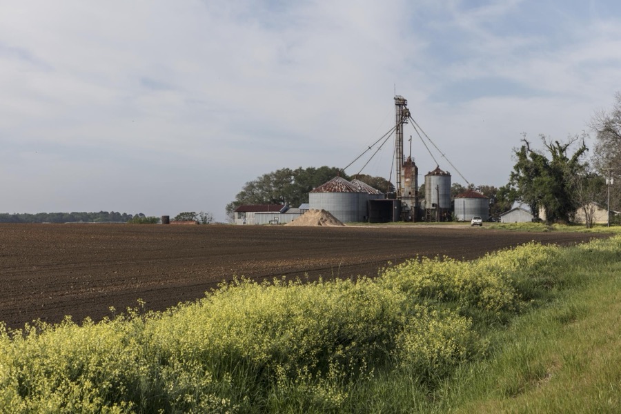
Taken for the Office of War Information and the Farm Security Administration, who photographed the country between 1935 and 1944. Works of United States government photographers, with no known restriction on use. Each opens its catalogue record.
Every property in this county listed on the National Register of Historic Places, with the year it was listed and the federal nomination document.
| Photograph | Property | Type | Listed | Reference |
|---|---|---|---|---|
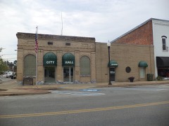 | Donalsonville Historic District | district | 2002 | 02000190 |
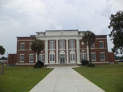 | Seminole County Courthouse | building | 1980 | 80001231 |
| Southeastern Holiness Institute | building | 1982 | 82002463 |
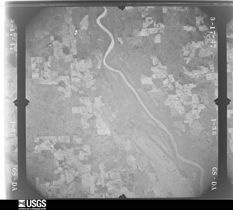
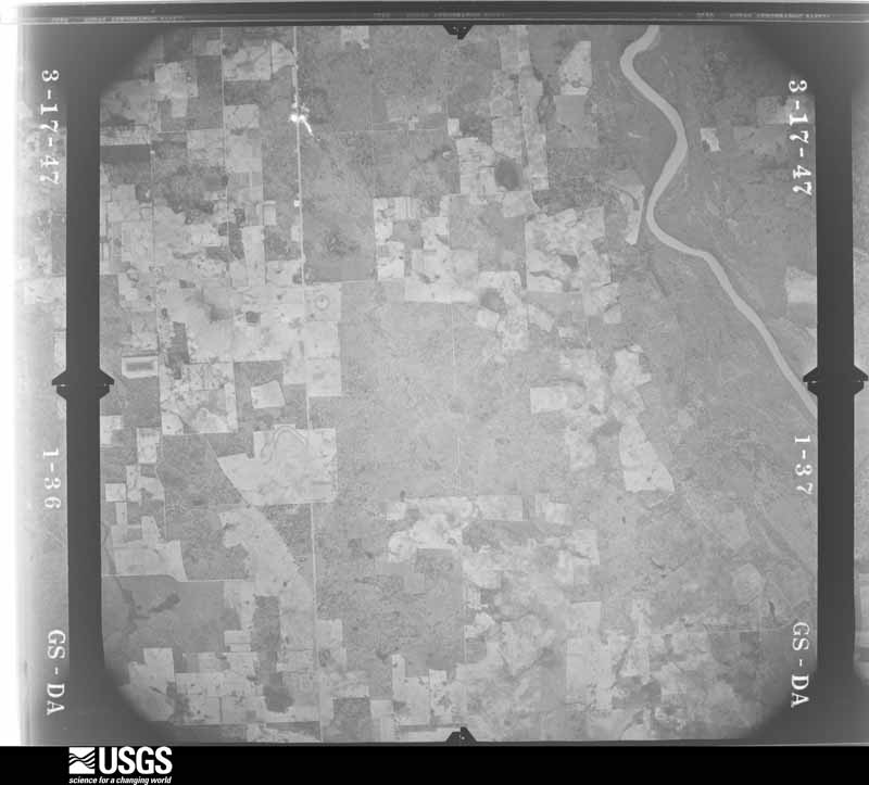
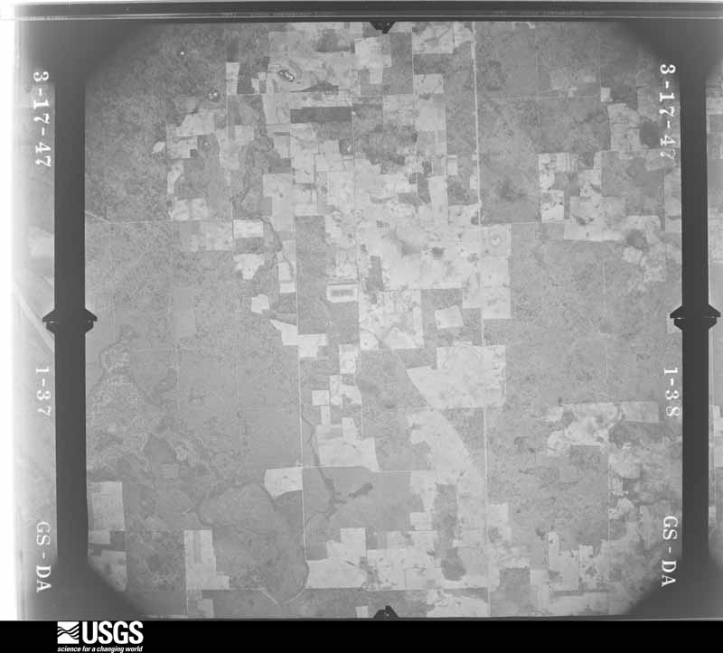
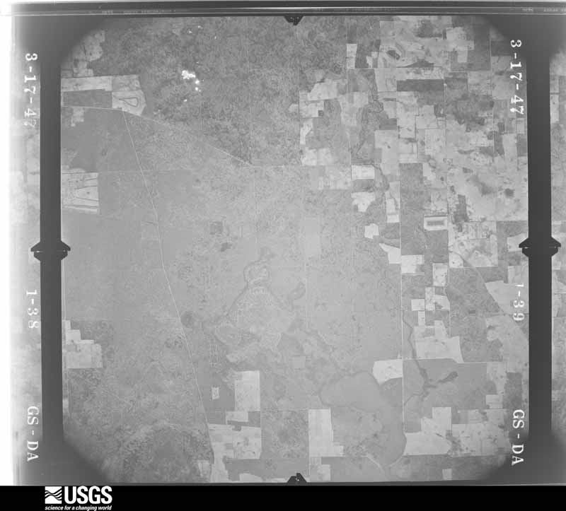
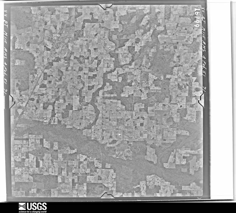
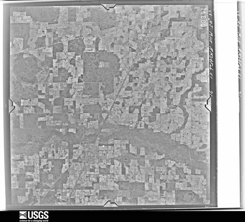
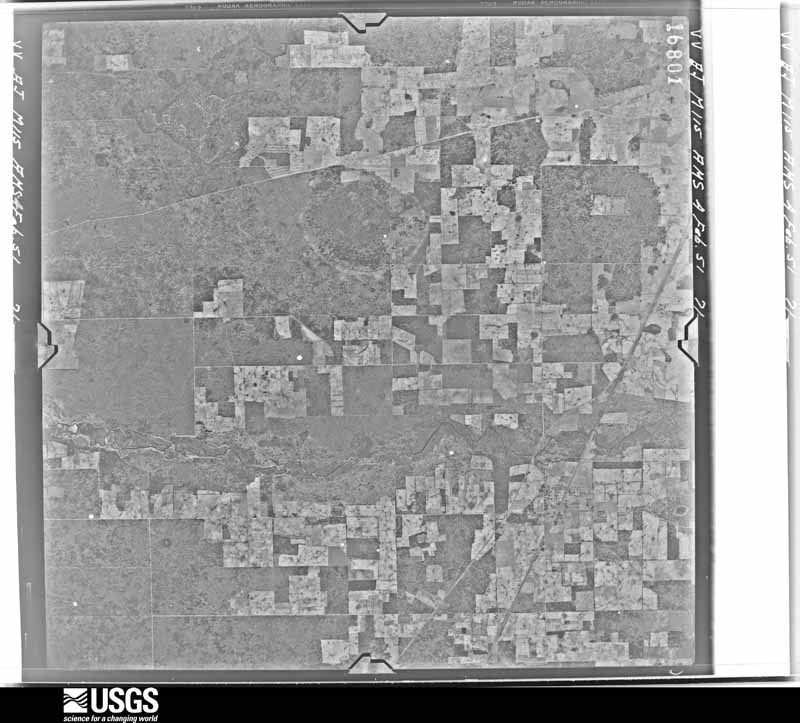
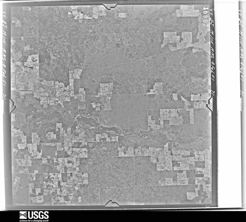
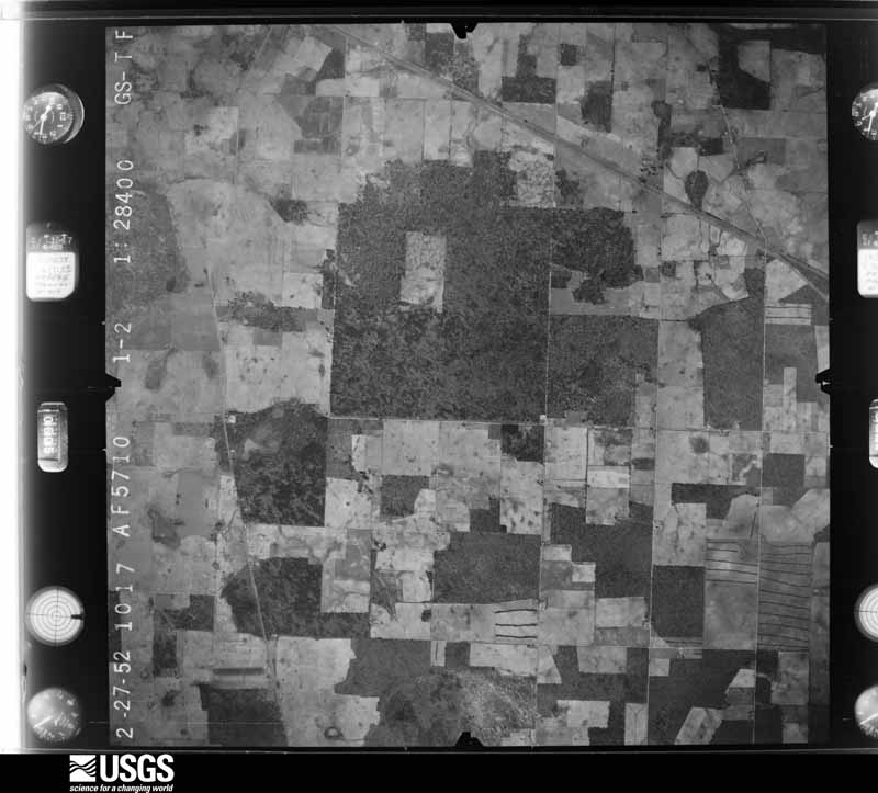
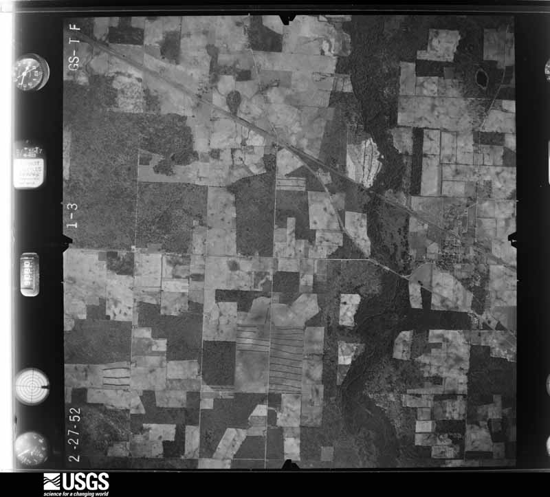
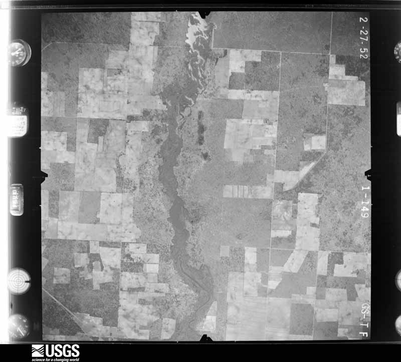
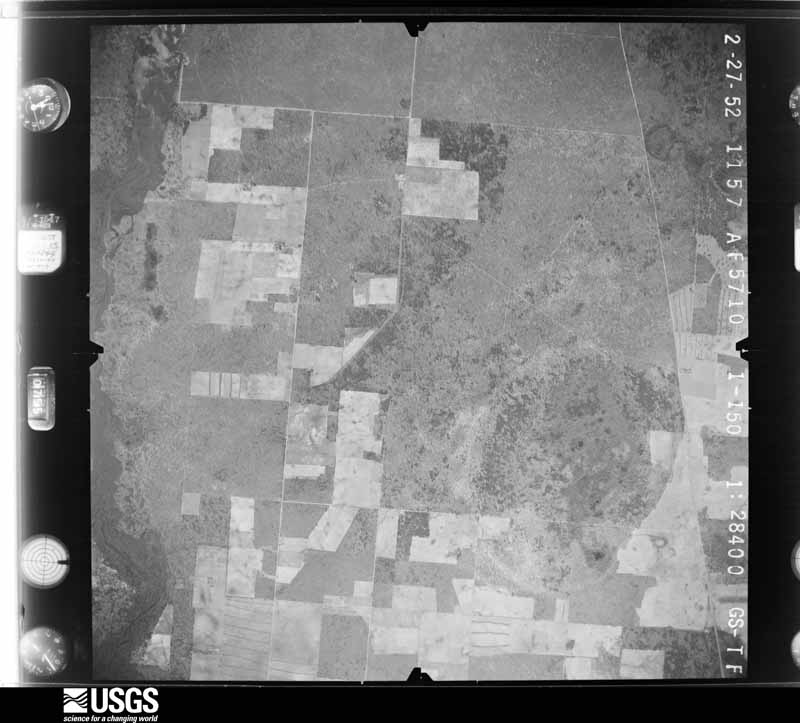
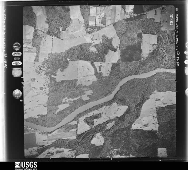
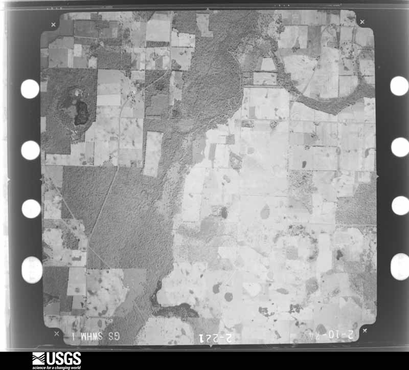
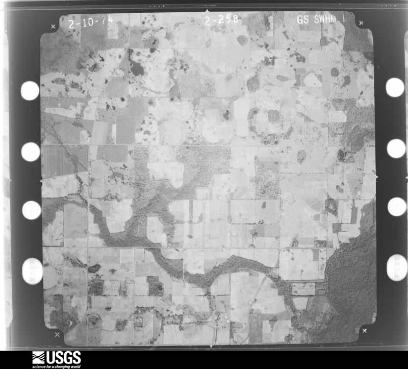
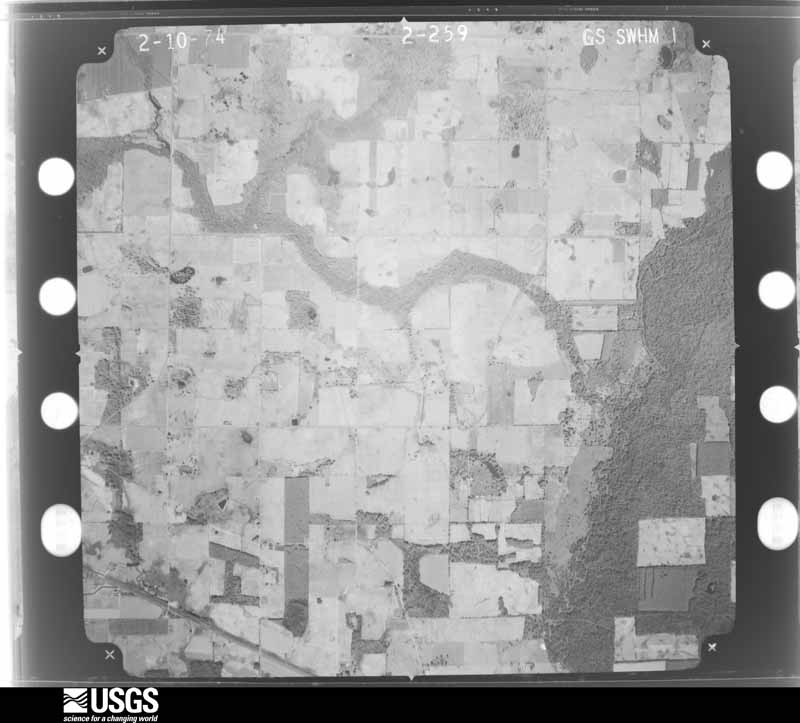
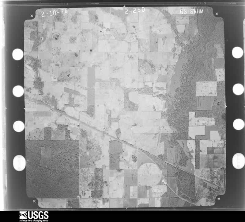
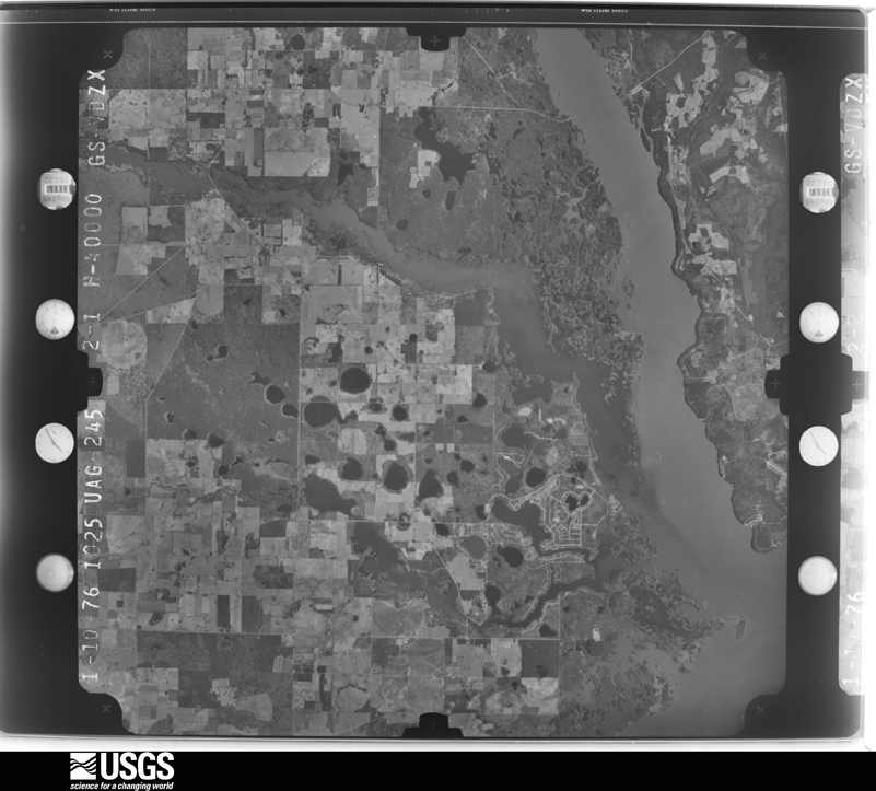
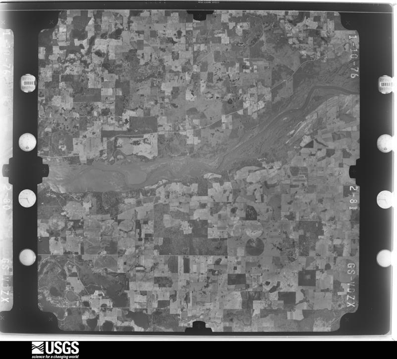
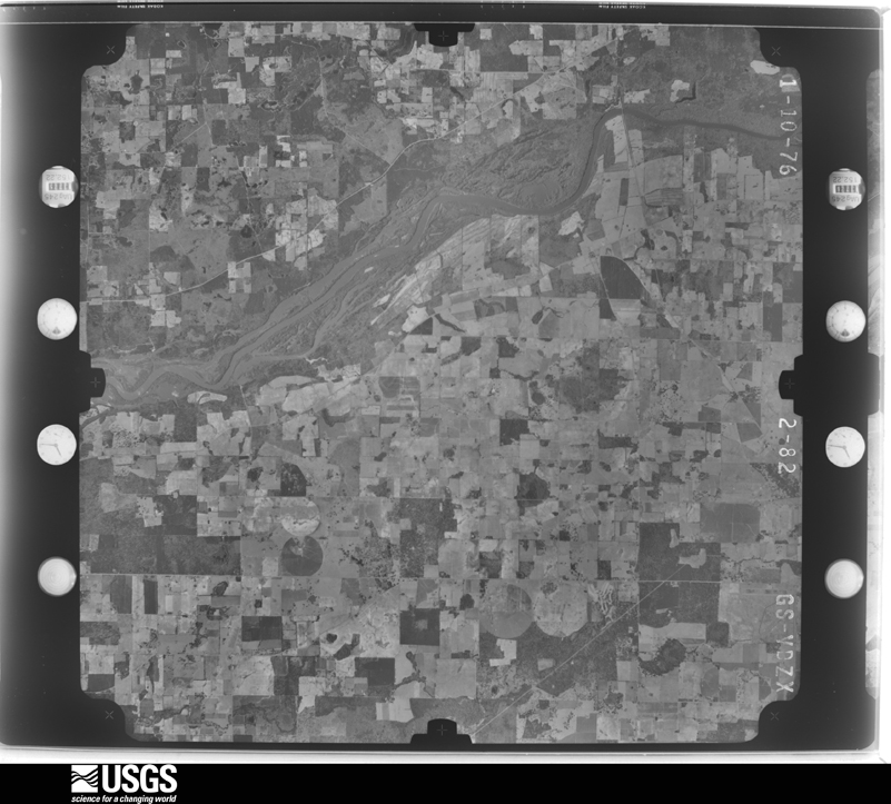
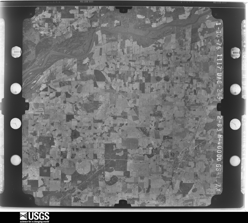
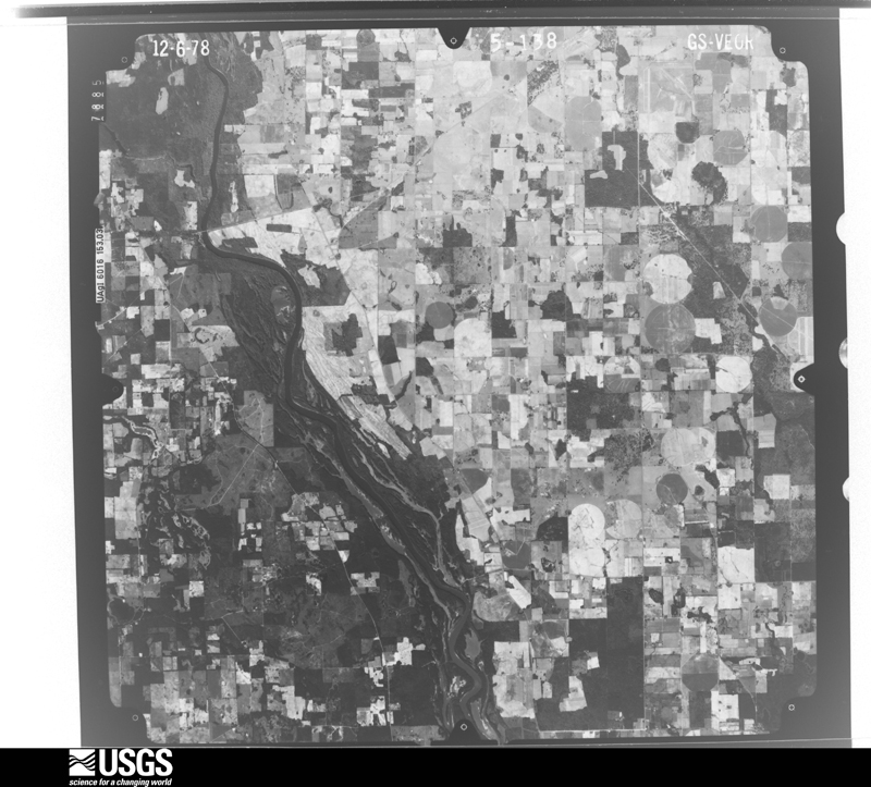
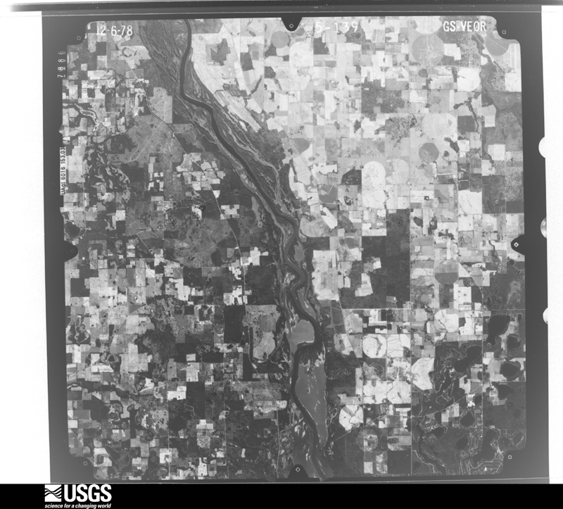
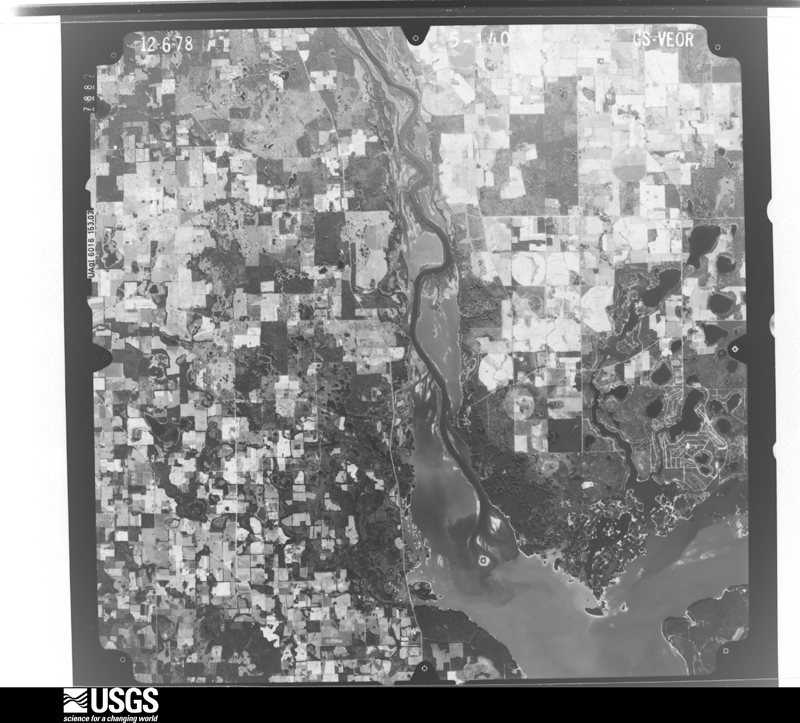
Flown by the U.S. Geological Survey between 1937 and 1989, the Aerial Photo Single Frames collection is the definitive mid-century view of the land: fields, roads and rivers as the camera saw them. The Survey holds 331 frames inside the rectangle that bounds this county; the 24 frames below were taken over the county itself, chosen across the decades of flights (at most four a year from that rectangle), so one flight cannot crowd out the rest. The full set is free to browse and download at EarthExplorer under the dataset Aerial Photo Single Frames.
The thermometers that kept this county's weather, as the federal records hold them. The extremes below are measured values from those records, not estimates.
Who lived here in 1950, one enumeration district at a time, as the Census Bureau described each district. Each row opens its official National Archives result, with Population Schedules and ED Maps available there.
Every wildfire the federal occurrence database records inside this county: 1,107 of them, burning about 3,836 acres. 20 started naturally and 91 were recorded as arson. Each settlement page carries the fires within five miles of it.
| Reported cause | Fires |
|---|---|
| Debris and open burning | 742 |
| Equipment and vehicle use | 174 |
| Arson/incendiarism | 91 |
| Smoking | 29 |
| Missing data/not specified/undetermined | 28 |
| Natural | 20 |
| Misuse of fire by a minor | 12 |
| Recreation and ceremony | 6 |
| Railroad operations and maintenance | 5 |
The five largest, by the area the report gives. Two of them were set deliberately.
| Date | Cause | Size | Reported by | Name on the report |
|---|---|---|---|---|
| 4 April 1992 | Arson/incendiarism | 129 acres | Georgia Forestry Commission | not named |
| 24 March 2019 | Debris and open burning | 125 acres | Georgia Forestry Commission | FY2019SEMINOLE006 |
| 8 March 2006 | Debris and open burning | 122 acres | Georgia Forestry Commission | not named |
| 2 March 2000 | Debris and open burning | 104 acres | Georgia Forestry Commission | FY2000-SEMINOLE-078 |
| 16 February 2001 | Smoking | 100 acres | Georgia Forestry Commission | FY2001-SEMINOLE-053 |
| 25 September 2016 | Natural | 88 acres | Georgia Forestry Commission | FY2017-SEMINOLE-002 |
| 16 November 2017 | Debris and open burning | 85 acres | Georgia Forestry Commission | FY2018-SEMINOLE-003 |
| 22 May 2002 | Arson/incendiarism | 85 acres | Georgia Forestry Commission | FY2002-SEMINOLE-088 |
Every settlement page carries the fires within five miles of it - see the settlement index below.
The NOAA Storm Events Database holds 115 reports for this county, causing 1 death, 11 injuries and about $9,355,750 in recorded property damage. Each settlement page carries the reports that name it.
| Kind of event | Reports |
|---|---|
| Thunderstorm Wind | 87 |
| Tornado | 8 |
| Hail | 6 |
| Flash Flood | 6 |
| Lightning | 4 |
| Heavy Rain | 2 |
| Flood | 2 |
The most serious of them, by death, then injury, then recorded damage. The accounts are quoted exactly as the forecast office filed them.
| When | Event | Place named | Harm | What the report says |
|---|---|---|---|---|
| March 2005 | Tornado (F2) | Donalsonville | 1 killed, 8 hurt, $1,500,000 | A tornado touched down just south of U.S. Highway 84. It destroyed seven mobile homes and damaged 17 others. Many trees and power lines were down. A woman was killed when the tornado demolished her mobile home. Eight people suffered minor injuries. The storm survey was conducted by the NWS Tallahassee WCM and SOO. |
| February 1971 | Tornado (F2) | not stated | 2 hurt, $250,000 | no account filed |
| March 1996 | Tornado (F1) | Donalsonville | 1 hurt, $100,000 | no account filed |
| September 2002 | Flash Flood | Countywide | $5,000,000 | Between 10 and 15 inches of rain fell during a seven-hour period over much of the county. Donalsonville received 14.59 inches between 1030 pm Saturday and 530 am Sunday, and 15.74 inches during a 24-hour period. An estimated 300 homes and 75 businesses in and surrounding Donalsonville were damaged by flood waters. Portions of U.S. Highway 84, and State Roads 45 and 285 were closed. A wooden bridge on the southwest side of Donalsonville was destroyed. An estimated 5,000 acres of peanuts and cotton were destroyed. A disaster center served nearly 600 flood victims. Reported by the Seminole County EMA. |
| April 2011 | Lightning | Donalsonville | $1,000,000 | Lightning sparked a large fire in down-town Donalsonville. The fire consumed the businesses on the east side of Cherry Street and burned about one half of a city block. Two beauty shops, an insurance agency, a pool hall, a gift shop, and a gym were among the businesses damaged in the fire. The monetary damage figure provided is a rough estimate. |
| January 2017 | Tornado (EF1) | Riverturn | $250,000 | An EF1 tornado with max winds near 90 mph touched down on Grant Graham road causing damage to pecan groves, two mobile homes, and one single family home. The tornado tracked northeast for approximately 3.75 miles along Highway 91 before lifting just south of Donalsonville. Damage was estimated. |
| July 2005 | Flash Flood | Countywide | $200,000 | Nearly four inches of rain in less than three hours pushed the Fishpond Drain over its banks. Several homes were surrounded by rising flood water and access roads were impassible. Reported by the Seminole County EMA. |
| March 2003 | Thunderstorm Wind | Reynoldsville | $200,000 | Straight-line winds damaged several homes, with numerous trees and power lines down. Reported by the Seminole County EMA. |
| January 2024 | Thunderstorm Wind | Donalsonville | $100,000 | Two homes were damaged by trees along with damage to barns and sheds in Seminole county. |
| March 2009 | Thunderstorm Wind | Drakes Still | $100,000 | Two homes were damaged by fallen trees in Riverside Acres. |
| September 2002 | Thunderstorm Wind | Donalsonville | $100,000 | A roof was blown off a house. A peanut shed and two mobile homes were damaged. Reported by the Seminole County EMA. |
| August 2008 | Lightning | Desser | $75,000 | Lightning struck a home along State Highway 374 between danny Johnson Road and County Road 51. The resultant blaze gutted the home. |
| April 2021 | Thunderstorm Wind | Iron City | $50,000 | A few homes experience minor damage with missing roof shingles and porch damage. |
| May 2019 | Thunderstorm Wind | Lela | $50,000 | A tree was blown down onto a home and car at Mosely Road. |
| April 2014 | Thunderstorm Wind | Donalsonville | $50,000 | A building collapsed at Martin Recycling Company in Donalsonville. Monetary damage was estimated. |
| October 2008 | Thunderstorm Wind | Fairchild | $50,000 | Straight line winds estimated between 60 and 70 mph damaged two vacant homes near Seminole State Park. Several trees were uprooted. |
| July 2002 | Thunderstorm Wind | Southwest Portion | $50,000 | A marina on Lake Seminole was damaged, with many boat slips torn off and flung into nearby trees. Reported by the Seminole County EMA. |
| April 2020 | Thunderstorm Wind | Little Hope | $25,000 | A tree fell on a structure in the Little Hope community. |
| January 1975 | Tornado (F2) | not stated | $25,000 | no account filed |
| March 1972 | Tornado (F1) | not stated | $25,000 | no account filed |
| April 1969 | Tornado (F2) | not stated | $25,000 | no account filed |
| February 2017 | Thunderstorm Wind | Little Hope | $15,000 | Roof damage occurred to a house on Harrell Moye Road. Damage was estimated. |
| March 2009 | Thunderstorm Wind | Donalsonville | $15,000 | Numerous trees and power lines were blown down in and around Donalsonville. Scattered power outages were reported throughout the center of the county. |
| May 2015 | Thunderstorm Wind | Iron City | $10,000 | Half a roof was blown off a mobile home on Lane Bridge Road. Monetary damage was estimated. |
| April 2014 | Lightning | Donalsonville | $10,000 | WTVY reported that lightning destroyed a storage building with thousands of dollars of music equipment inside of it near Donalsonsville. Campers say they saw a lightning bolt directly hit the barn. Monetary damage was estimated. |
| April 2011 | Thunderstorm Wind | Donalsonville Municipal Arpt | $10,000 | Trees were blown down across the county. The monetary damage figure provided is a rough estimate. |
| January 2026 | Thunderstorm Wind | Desser | $5,000 | A trained spotter reported damage to a mobile home. |
| February 2017 | Thunderstorm Wind | Sharphagen | $5,000 | Several trees and power lines were blown down. Also, a large branch fell onto a car on Hagen-Still Road. Damage was estimated. |
| March 2009 | Thunderstorm Wind | Reynoldsville | $5,000 | At Joel Poole and Three Notch Roads, there were several utility poles and lines blown down. Sheet metal was strewn across the intersection. A pivot irrigation system was damaged. |
| August 2008 | Thunderstorm Wind | Donalsonville | $5,000 | A transformer was down on Three Notch Road just north of Joel Pool Road. |
| January 1999 | Thunderstorm Wind | Donalsonville | $5,000 | Trees and power lines down at U.S. Highway 84 and GA Highway 38. |
| June 1994 | Thunderstorm Wind | Donalsonville | $5,000 | Several large trees were downed by thunderstorm winds along U.S. Highway 84 in Donalsonville. |
| October 1993 | Thunderstorm Wind | Donalsonville | $5,000 | Several large trees were blown down by thunderstorm winds. |
| July 2021 | Thunderstorm Wind | Donalsonville | $3,000 | Trees and power lines were blown down. |
| August 2018 | Thunderstorm Wind | Iron City | $3,000 | Scattered trees and power lines were blown down. |
| June 2013 | Thunderstorm Wind | Desser | $3,000 | Multiple trees were blown down across the county. |
| June 2012 | Thunderstorm Wind | Donalsonville | $3,000 | Trees were blown down on Wiley Street and South Morris Street in Donalsonville. Monetary damage was estimated. |
| March 2026 | Thunderstorm Wind | Lela | $2,000 | Power lines were down and blocking Hebrew Hwy between Parker Ln and 9 Hole Rd. |
| November 2025 | Thunderstorm Wind | Iron City | $2,000 | The public reported via social media that an irrigation pivot had flipped in the Iron City area. |
| January 2023 | Thunderstorm Wind | Donalsonville | $2,000 | One power pole was blown down in at West 2nd Street and South Wiley Ave. |
| May 2015 | Thunderstorm Wind | Donalsonville | $2,000 | A tree was blown down onto a power line in Donalsonville. |
| August 2012 | Thunderstorm Wind | Little Hope | $2,000 | Two trees were blown down on Woodrow Jernigan Road. Monetary damage was estimated. |
| June 2011 | Thunderstorm Wind | Donalsonville | $2,000 | An awning was blown off a building in downtown Donalsonville. A tree was also blown down. The monetary damage figure provided is a rough estimate. |
| June 2004 | Thunderstorm Wind | Donalsonville | $2,000 | Downed trees and power lines reported by the Seminole County Sheriff. |
| August 2015 | Thunderstorm Wind | Lela | $1,000 | A shed was destroyed near Highway 285 east of Highway 39. Damage was estimated. |
| June 2014 | Thunderstorm Wind | Lake Seminole | $1,000 | A tree was blown down near Seminole Shores Drive. |
| April 2014 | Thunderstorm Wind | Steam Mill | $1,000 | A tree was blown down across the road at Highway 91 and River Road. |
| July 2012 | Thunderstorm Wind | Desser | $1,000 | The Seminole county 911 dispatch reported a tree down on Joel Poole Road. Monetary damage was estimated. |
| July 2012 | Thunderstorm Wind | Riverturn | $1,000 | The Seminole county 911 dispatch reported a tree down on Hebrew Road. Monetary damage was estimated. |
| February 2012 | Thunderstorm Wind | Lela | $1,000 | A tree was blown down on Grady Bell Road. Monetary damage was estimated. |
| June 2008 | Thunderstorm Wind | Fairchild | $1,000 | A few trees and power lines were down. |
| June 2004 | Thunderstorm Wind | Donalsonville | $1,000 | A few downed trees and power lines on Highway 91 reported by the Seminole County EMA. |
| July 2002 | Thunderstorm Wind | Southwest Portion | $1,000 | Several downed trees on State Road 39 near Lake Seminole. Reported by the Seminole County Sheriff. |
| May 2006 | Thunderstorm Wind | Southwest Portion | $500 | The Seminole County Road Department reported a few trees down near Lake Seminole. |
| August 2008 | Thunderstorm Wind | Desser | $250 | A few trees and a utility pole were down near County Road 374 and Joel Pool Road. |
| January 2026 | Thunderstorm Wind | Lake Seminole | - | Two trees were blown down in the Lake Seminole area. |
| February 2026 | Thunderstorm Wind | Reynoldsville | - | A tree was blown down across Collie Hill Road. |
| March 2025 | Thunderstorm Wind | Donalsonville | - | A tree was blown down onto a power line off Burl Lane Road. |
| February 2025 | Thunderstorm Wind | Steam Mill | - | Seminole County 911 reported a tree down on River Road near Eddie Chance Road. |
| June 2025 | Thunderstorm Wind | Drakes Still | - | A tree was blown down near the intersection of County Road 374 and Northside Dr. |
Named settlements recorded in the Geographic Names Information System, each with the topographic sheets covering it. Villages, hamlets and abandoned places alike. Each is shown with the nearest named watercourse or landform and the survey quadrangle it falls on. The 1 place that was also surveyed for fire insurance comes first, with the number of atlases and photographs held for them.
Donalsonville census division · 39845 · Donalsonville West quadrangle
8 sheets, 1953 to 1981
Fire insurance: 2 atlases
Donalsonville census division · 39859 · Donalsonville East quadrangle
8 sheets, 1953 to 1981
Steam Mill census division · 39845 · Donalsonville West quadrangle
8 sheets, 1953 to 1981
Donalsonville census division · 39845 · Donalsonville East quadrangle
8 sheets, 1953 to 1981
Donalsonville census division · 39845 · Reynoldsville quadrangle
13 sheets, 1954 to 1988
Donalsonville census division · 39859 · Donalsonville East quadrangle
8 sheets, 1953 to 1981
Donalsonville census division · 39845 · Donalsonville West quadrangle
8 sheets, 1953 to 1981
8 topographic sheets and 2 fire insurance atlases, 1930