 Block
From the record
7 National Register listings published here, 1 of them a National Historic Landmark.
Sources: the National Register database, National Park Service
18 topographic sheets cover 9 settlements here, and 7 properties are on the National Register of Historic Places.
7 National Register listings published here, 1 of them a National Historic Landmark.
Sources: the National Register database, National Park Service
Taken for the Office of War Information and the Farm Security Administration, who photographed the country between 1935 and 1944. Works of United States government photographers, with no known restriction on use. Each opens its catalogue record.
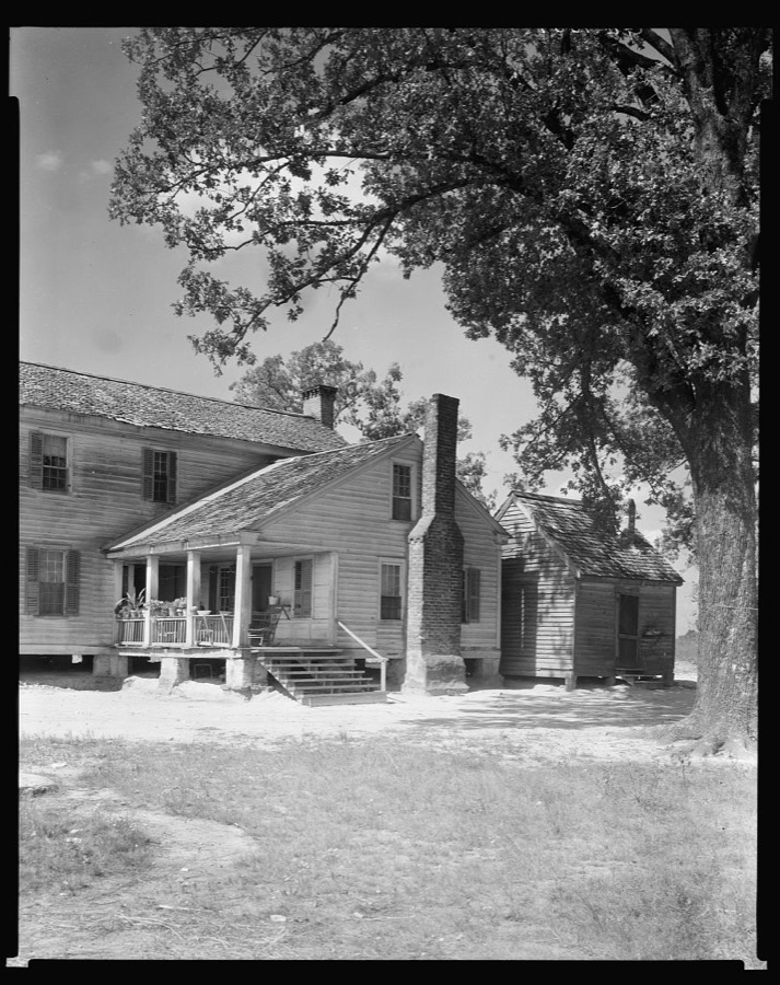
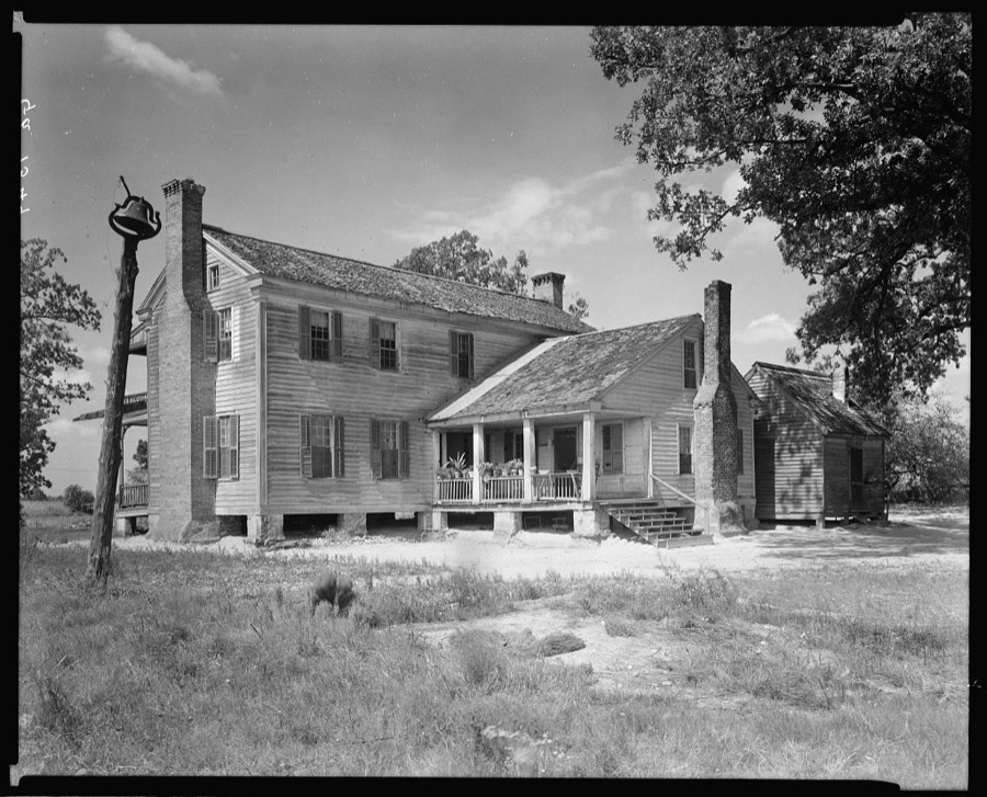
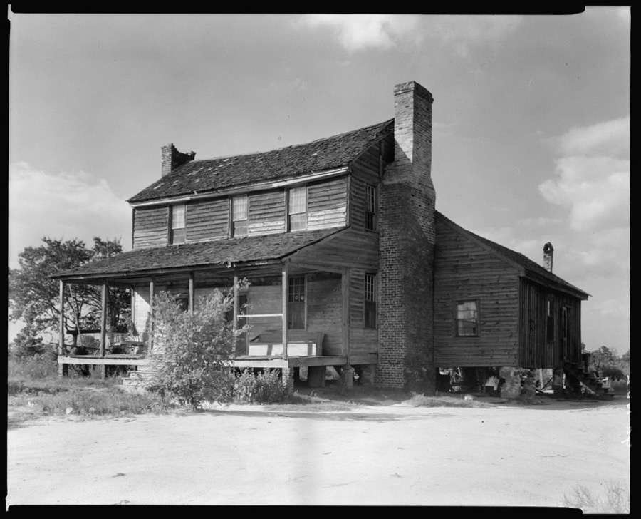
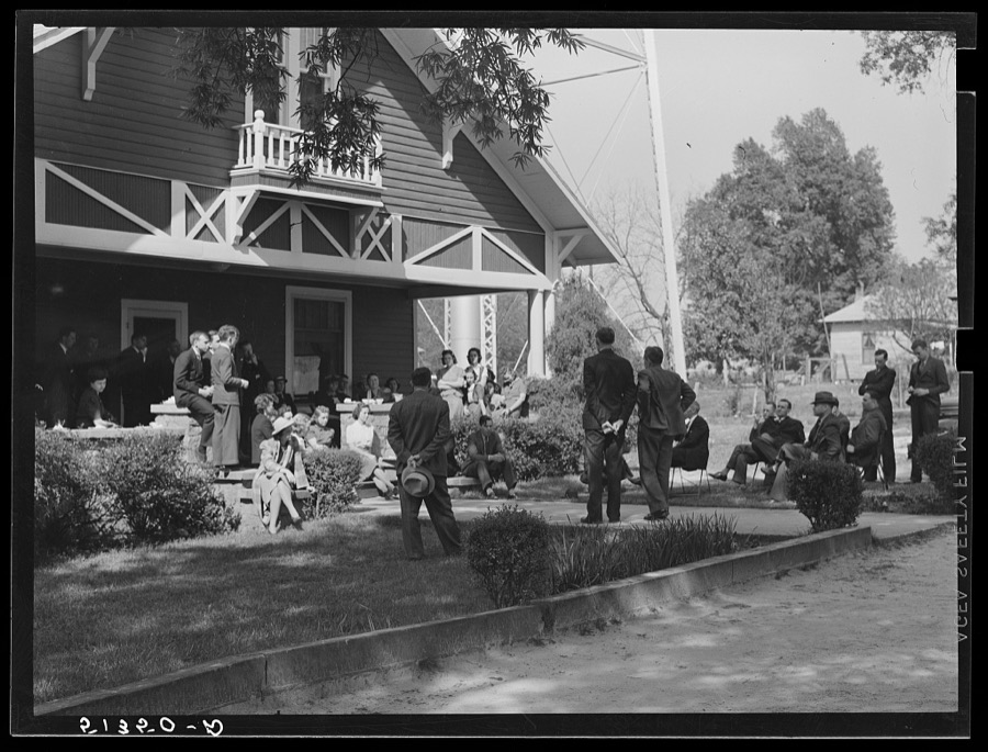

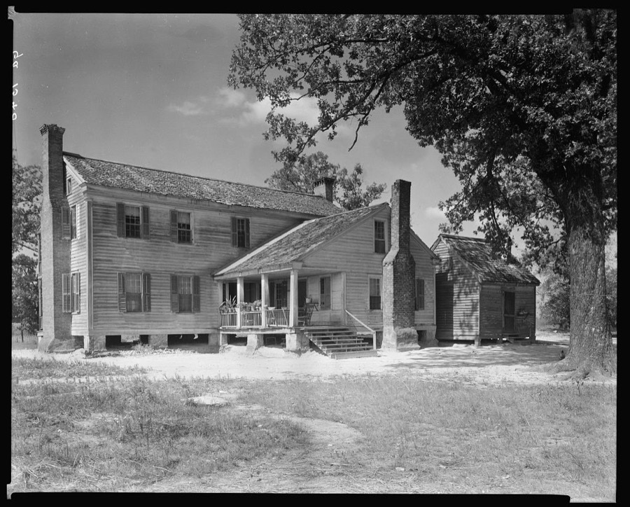
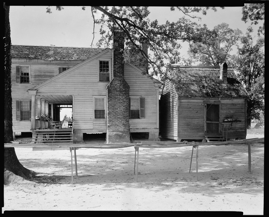
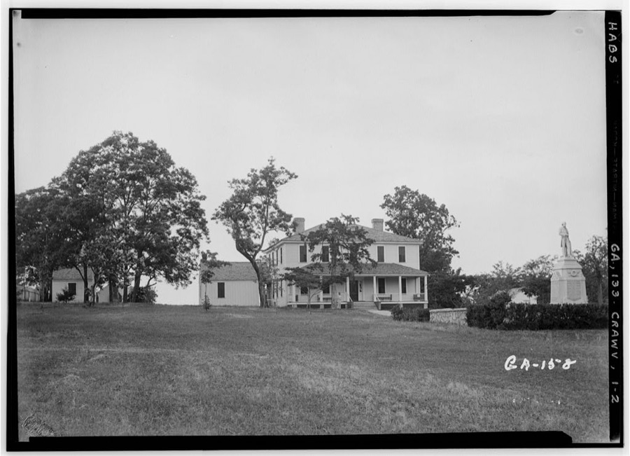
Every property in this county listed on the National Register of Historic Places, with the year it was listed and the federal nomination document.
| Photograph | Property | Type | Listed | Reference |
|---|---|---|---|---|
 | Chapman-Steed House | building | 2002 | 02001218 |
| Colonsay Plantation | building | 1974 | 74000703 | |
 | Crawfordville Historic District | district | 2006 | 06000124 |
 | Liberty Hall | building | 1970 | 70000216 |
| Locust Grove Cemetery | site | 2006 | 06001119 | |
 | A. H. Stephens Memorial State Park | district | 1995 | 95000764 |
 | Taliaferro County Courthouse | building | 1980 | 80001242 |
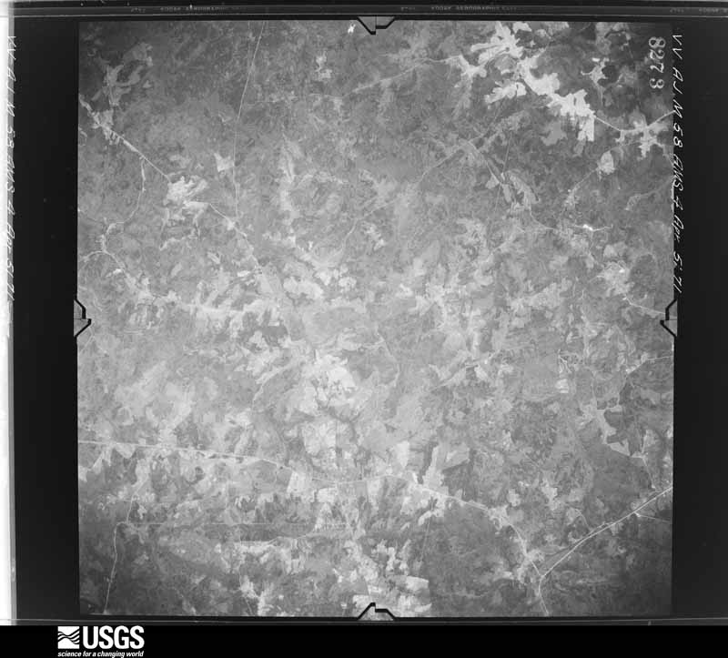
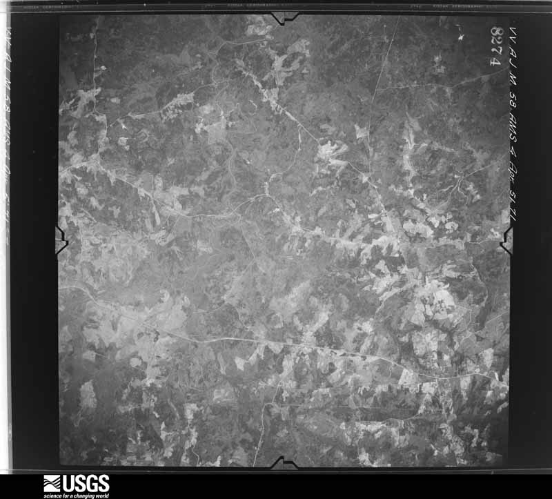
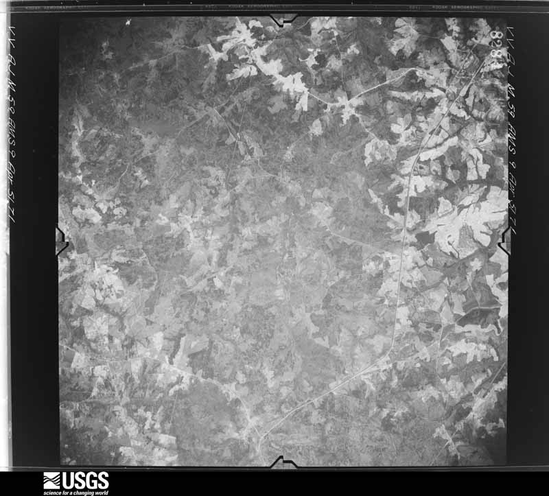
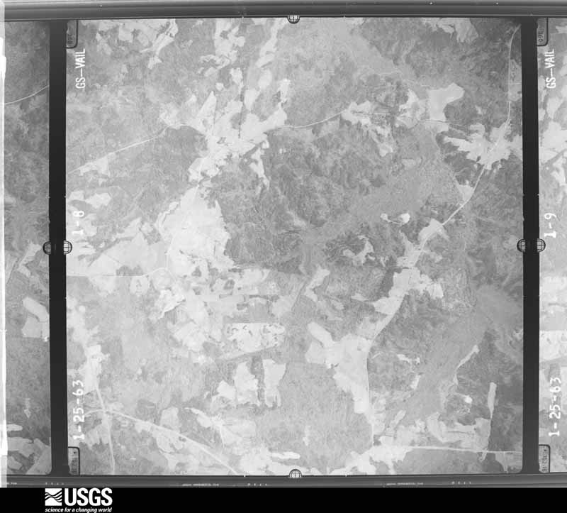
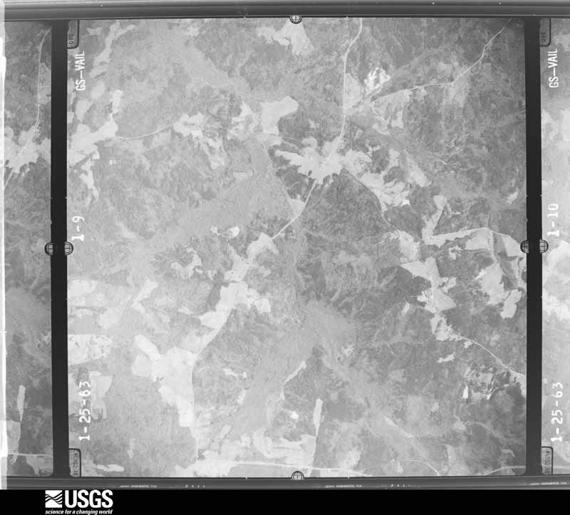
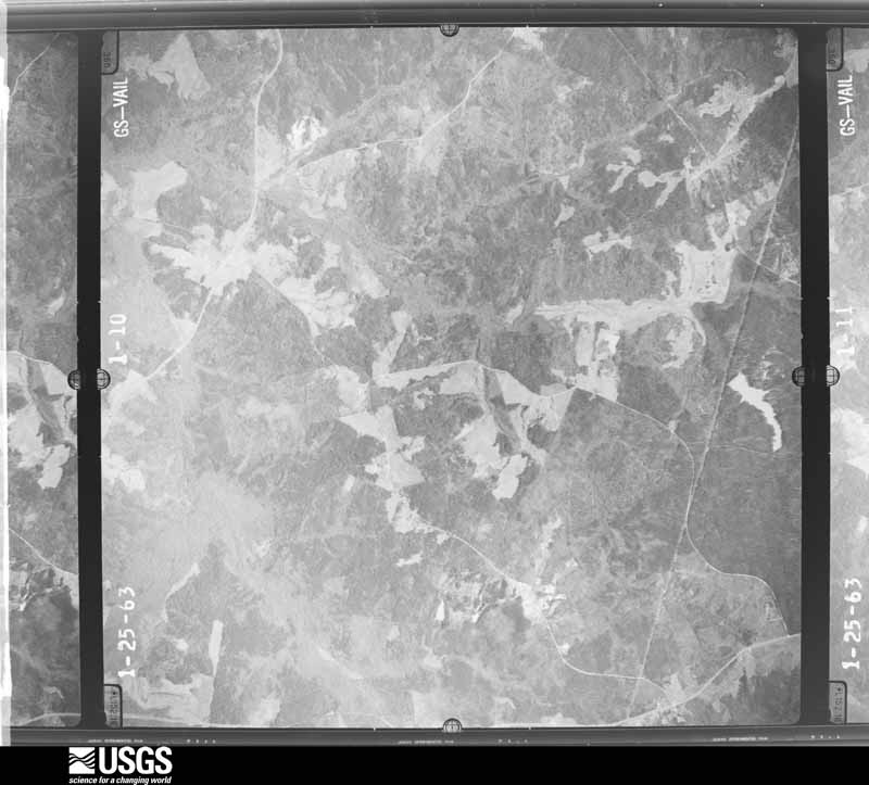
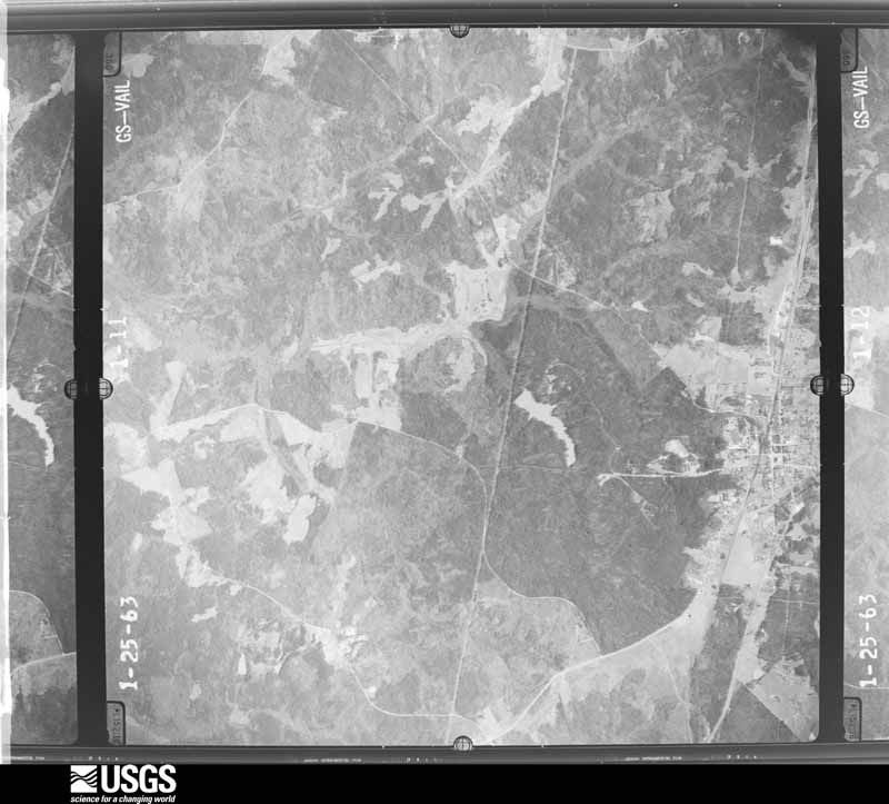
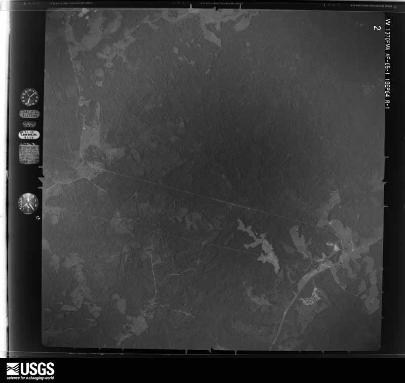
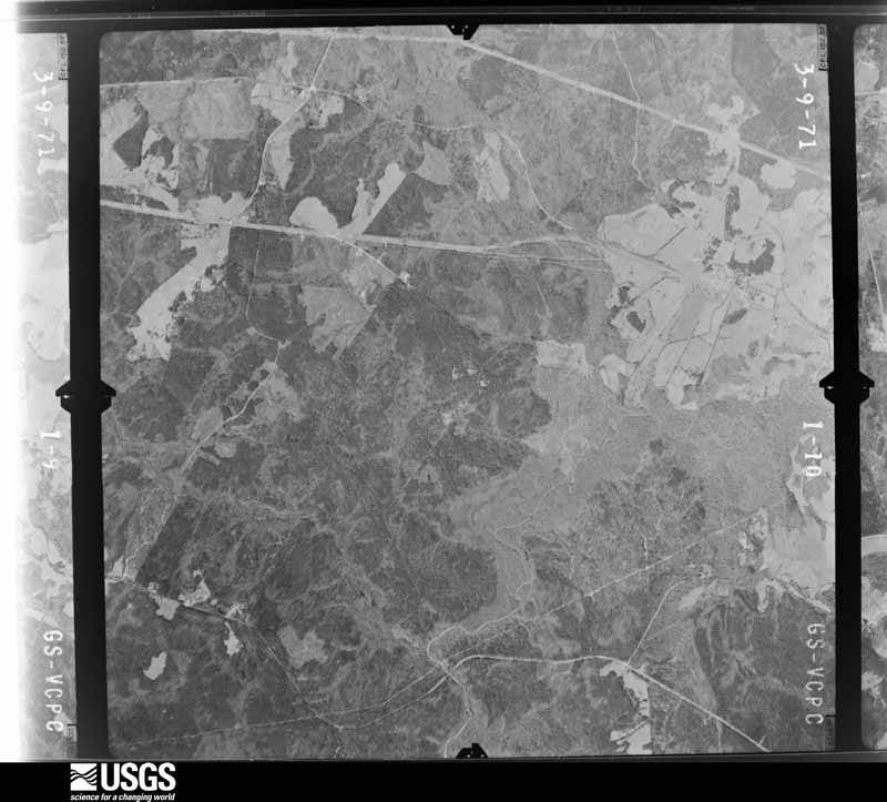
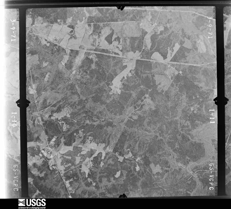
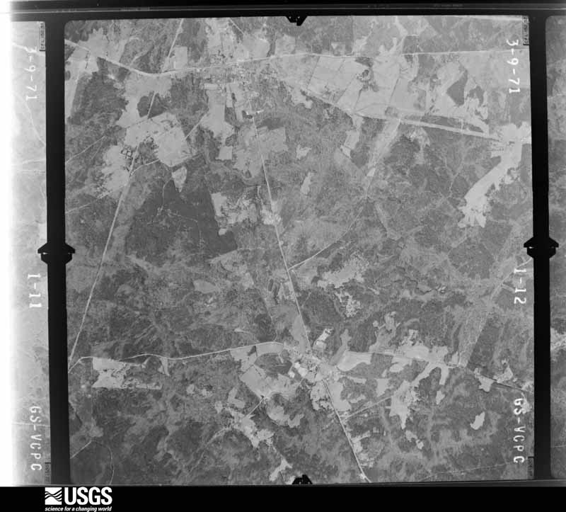
Flown by the U.S. Geological Survey between 1937 and 1989, the Aerial Photo Single Frames collection is the definitive mid-century view of the land: fields, roads and rivers as the camera saw them. The Survey holds 345 frames inside the rectangle that bounds this county; the 14 frames below were taken over the county itself, chosen across the decades of flights (at most four a year from that rectangle), so one flight cannot crowd out the rest. The full set is free to browse and download at EarthExplorer under the dataset Aerial Photo Single Frames.



The thermometers that kept this county's weather, as the federal records hold them.
Who lived here in 1950, one enumeration district at a time, as the Census Bureau described each district. Each row opens its official National Archives result, with Population Schedules and ED Maps available there.
Every wildfire the federal occurrence database records inside this county: 287 of them, burning about 1,576 acres. 24 started naturally and 14 were recorded as arson. Each settlement page carries the fires within five miles of it.
| Reported cause | Fires |
|---|---|
| Debris and open burning | 135 |
| Missing data/not specified/undetermined | 37 |
| Equipment and vehicle use | 31 |
| Railroad operations and maintenance | 25 |
| Natural | 24 |
| Arson/incendiarism | 14 |
| Smoking | 14 |
| Misuse of fire by a minor | 5 |
| Recreation and ceremony | 2 |
The five largest, by the area the report gives. None of them was recorded as arson.
| Date | Cause | Size | Reported by | Name on the report |
|---|---|---|---|---|
| 5 September 1999 | Natural | 277 acres | Georgia Forestry Commission | not named |
| 1 February 2015 | Debris and open burning | 76 acres | Georgia Forestry Commission | FY2015-TALIAFERRO-005 |
| 7 March 2004 | Missing data/not specified/undetermined | 74 acres | Georgia Forestry Commission | not named |
| 19 July 2019 | Natural | 73 acres | Georgia Forestry Commission | FY2020TALIAFERRO002 |
| 10 February 2008 | Missing data/not specified/undetermined | 72 acres | Georgia Forestry Commission | not named |
| 24 July 1999 | Natural | 59 acres | Georgia Forestry Commission | not named |
| 2 September 1999 | Equipment and vehicle use | 49 acres | Georgia Forestry Commission | not named |
| 13 April 1996 | Natural | 45 acres | Georgia Forestry Commission | not named |
Every settlement page carries the fires within five miles of it - see the settlement index below.
The NOAA Storm Events Database holds 53 reports for this county, causing no deaths, no injuries and about $210,850 in recorded property damage. Each settlement page carries the reports that name it.
| Kind of event | Reports |
|---|---|
| Thunderstorm Wind | 37 |
| Hail | 11 |
| Flash Flood | 4 |
| Flood | 1 |
The most serious of them, by death, then injury, then recorded damage. The accounts are quoted exactly as the forecast office filed them.
| When | Event | Place named | Harm | What the report says |
|---|---|---|---|---|
| June 2001 | Flash Flood | Countywide | $125,000 | The Taliaferro County Emergency Management Director reported that several roads were flooded. A car was even washed off the road. Damage was caused to culverts and erosion weakened some road surfaces requiring repair. Unofficial reports of 10 inches of rain were received from Crawfordville. |
| May 2020 | Thunderstorm Wind | Crawfordville | $12,000 | The Taliaferro County Emergency Manager reported numerous trees blown down along I-20 near mile marker 150. |
| May 2008 | Hail | Robinson | $8,000 | The Taliaferro County 911 Center relayed reports of golf ball-sized hail from the western part of the county. |
| August 2023 | Thunderstorm Wind | Lyneville | $6,000 | Public report of 5 to 6 trees down with power lines down at SR 22 E and Springfield Road. |
| April 2017 | Thunderstorm Wind | Carters Grove | $6,000 | The Taliaferro County Emergency Manager reported several trees blown down near the intersection of Highways 22 and 44. |
| June 2025 | Thunderstorm Wind | Crawfordville | $5,000 | Multiple trees down around A. H. Stephens State Park. |
| July 2023 | Thunderstorm Wind | Sharon | $5,000 | Multiple trees downed in the town of Sharon with widespread power outages. |
| July 2023 | Thunderstorm Wind | Springfield | $5,000 | Multiple trees were downed in the Springfield Community. |
| July 2023 | Thunderstorm Wind | Raytown | $5,000 | Multiple trees were downed along upper Mill Road. |
| June 2025 | Thunderstorm Wind | Crawfordville | $3,000 | Several trees down along Interstate 20 and State Route 22. |
| July 2016 | Thunderstorm Wind | Crawfordville | $3,000 | The Georgia Department of Transportation reported trees blown down onto the roadway along Highway 22 near Carters Ford Road and along I-20 near mile marker 152. |
| February 2012 | Thunderstorm Wind | Robinson | $3,000 | The Talliaferro County 911 Center reported that a few trees and a few power lines were blown down near U.S. Highway 278. |
| June 2010 | Thunderstorm Wind | Crawfordville | $3,000 | The Taliaferro County 911 Center reported that three trees and two power lines were down near Crawfordville. Doppler radar data suggests that this occurred in the far southern part of the county from six to eight miles southwest of Crawfordville near the Hancock county line. |
| September 2008 | Flash Flood | Edgewood Crossroads | $2,500 | The Taliaferro County Sheriff's Department observed a flash flood along a stream that flows into Lick Creek, approximately 1.7 miles northeast of Crawfordville. The stream washed out a portion of Old Sandy Road, a dirt and rock road. Severe erosion occurred around the drainage culvert pipe. |
| July 2024 | Thunderstorm Wind | Crawfordville | $2,000 | Trees were reported down in AH Stephens State Park as well as in Crawfordville with some trees across roads in the area. |
| July 2017 | Thunderstorm Wind | Sharon | $2,000 | The Taliaferro County 911 center reported trees blown down near a trailer park on Highway 47 at Stephan Road in Sharon. |
| July 2016 | Thunderstorm Wind | Sharon | $2,000 | The Taliaferro County 911 center reported trees blown down along Highway 47 between Crawfordville and Washington. |
| March 2010 | Hail | Lyneville | $2,000 | The public observed golf ball-sized hail in the far northern part of the county between Lyneville and Carters Grove. |
| June 2007 | Hail | Crawfordville | $2,000 | The public reported golf ball-sized hail in the southwest part of Taliaferro county near the Hancock county line and southwest of Crawfordville. |
| July 1997 | Thunderstorm Wind | Lyneville | $2,000 | Thunderstorm winds knocked down or twisted off several trees. |
| July 2012 | Thunderstorm Wind | Crawfordville | $1,500 | The Taliaferro County 911 Center reported that several trees were downed, mainly in the eastern part of the county. Two trees were down on Interstate 20, blocking the lane at mile marker 147. |
| May 1999 | Thunderstorm Wind | Raytown | $1,500 | The Taliaferro county 911 reported dime size hail and trees blown down by thunderstorm winds. One tree fell on a house. |
| July 2023 | Thunderstorm Wind | Crawfordville | $1,000 | Tree down across Highway 22 near the Hancock county line. |
| July 2023 | Thunderstorm Wind | Hillman | $1,000 | Multiple trees were blown down along Silas Mercer Road. |
| July 2023 | Thunderstorm Wind | Sharon | $1,000 | Tree down across I20 near the Warren County Line. |
| August 2020 | Thunderstorm Wind | Sharon | $1,000 | The Taliaferro County 911 center reported a tree blown down on I-20 eastbound near mile marker 152.5. |
| November 2004 | Thunderstorm Wind | Crawfordville | $250 | The Taliaferro County 911 Center reported that one tree was blown down. |
| August 1997 | Thunderstorm Wind | Lyneville | $100 | Georgia State Patrol reported two trees were blown down.. |
| June 2022 | Thunderstorm Wind | Edgewood Crossroads | - | Multiple trees down or snapped near and along Saggus Rd. |
| June 2022 | Thunderstorm Wind | Edgewood Crossroads | - | Multiple trees down or snapped near and along Saggus Rd. |
| November 2018 | Flash Flood | Hillman | - | Emergency Manager reported Silas Mercer Road was damaged due to flowing water from flash flooding. Radar estimates indicate that 3 to 4 inches, and possibly locally higher amounts, were observed in this area. |
| June 2016 | Hail | Crawfordville | - | A Taliaferro County Sheriff's Deputy reported quarter-sized hail along I-20 near Crawfordville. |
| February 2005 | Hail | Sharon | - | The public reported penny-sized hail. A few small branches were also blown down. |
| February 2005 | Hail | Sharon | - | The public reported penny-sized hail. |
| May 2003 | Hail | Crawfordville | - | The Taliaferro county 911 center reported penny-sized hail. |
| July 2003 | Flash Flood | Countywide | - | The Taliaferro county 911 center reported that a number of roads were flooded across the county. Several roads had up to one foot of water flowing across the road. In addition, several creeks were well out of their banks. |
| August 2003 | Hail | Crawfordville | - | The Taliaferro county 911 center reported penny-sized hail. |
| May 2002 | Hail | Sharon | - | The Sharon Post Office observed golf ball size hail. |
| June 2001 | Flood | Countywide | - | WAGA Television, FOX 5 of Atlanta, reported that several roads were under water in the county. |
| May 1999 | Hail | Raytown | - | no account filed |
| November 1992 | Thunderstorm Wind | not stated | - | no account filed |
| July 1992 | Thunderstorm Wind | not stated | - | no account filed |
| February 1990 | Thunderstorm Wind | not stated | - | no account filed |
| April 1989 | Thunderstorm Wind | not stated | - | no account filed |
| June 1989 | Thunderstorm Wind | not stated | - | no account filed |
| November 1989 | Thunderstorm Wind | not stated | - | no account filed |
| June 1988 | Thunderstorm Wind | not stated | - | no account filed |
| April 1985 | Thunderstorm Wind | not stated | - | no account filed |
| June 1985 | Thunderstorm Wind | not stated | - | no account filed |
| May 1984 | Thunderstorm Wind | not stated | - | no account filed |
| May 1984 | Thunderstorm Wind | not stated | - | no account filed |
| December 1983 | Thunderstorm Wind | not stated | - | no account filed |
| March 1972 | Hail | not stated | - | no account filed |
The Survey's mineral resources record lists 6 workings inside this county. None of them still produces: all are closed or unrecorded. Each settlement page carries the workings within five miles of it.
| Commodity | Workings |
|---|---|
| Gold | 3 |
| Manganese | 2 |
| Iron | 1 |
The least common of them first, because a county's hundredth gravel pit says nothing its first ten did not.
| Where | Site | Commodity | Status | Recorded |
|---|---|---|---|---|
| Taliaferro Magnetite Deposit | Iron | Past Producer | 1917 | |
| Georgia Manganese Company | Manganese | Unknown | 1916 | |
| W. H. Murden Property | Manganese | Past Producer | Residual | |
| Golucks-Rhodes | Gold | Past Producer | Vein | |
| Hackney-Lucas | Gold | Past Producer | Vein | |
| Hillman | Gold | Past Producer | Stream Placer |
Named settlements recorded in the Geographic Names Information System, each with the topographic sheets covering it. Villages, hamlets and abandoned places alike. Each is shown with the nearest named watercourse or landform and the survey quadrangle it falls on.
Crawfordville census division · 30631 · On Hubert Branch · Crawfordville quadrangle
14 sheets, 1906 to 1988
Crawfordville census division · 30631 · On South Fork Little River · Crawfordville quadrangle
14 sheets, 1906 to 1988
Sharon census division · 30631 · On Kendrick Creek · Sharon quadrangle
13 sheets, 1906 to 1988
Crawfordville census division · 30631 · On Sherrills Creek · Philomath quadrangle
13 sheets, 1906 to 1988
Crawfordville census division · 30669 · On Lynn Creek · Philomath quadrangle
13 sheets, 1906 to 1988
The complete index, with nothing left out. Each of these is a separate record with its own page: a federal survey report, or the case file that argued a property on to the National Register. Both are public domain and reproduced word for word.