 Block
From the record
5 National Register listings published here.
Sources: the National Register database, National Park Service
23 topographic sheets and 4 fire insurance atlases across 2 places.
5 National Register listings published here.
Sources: the National Register database, National Park Service
Every property in this county listed on the National Register of Historic Places, with the year it was listed and the federal nomination document.
| Photograph | Property | Type | Listed | Reference |
|---|---|---|---|---|
 | Butler Downtown Historic district | district | 2005 | 04001466 |
 | Mauk School | building | 2008 | 08001248 |
 | Ferdinand A. Ricks House | building | 1982 | 82002482 |
 | Taylor County Courthouse | building | 1995 | 95000719 |
| Union Methodist Church Cemetery-Hays Campground Cemetery | site | 2001 | 01000941 |
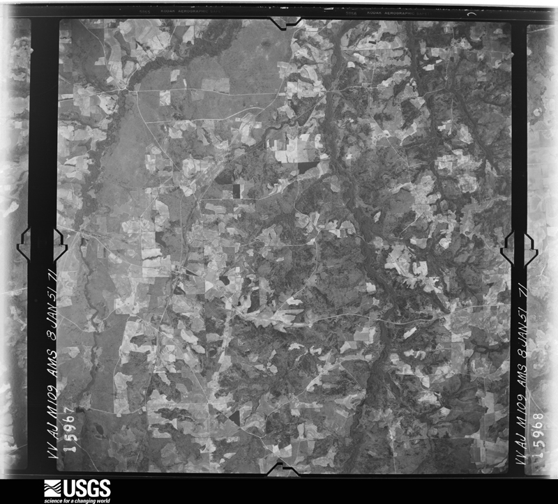
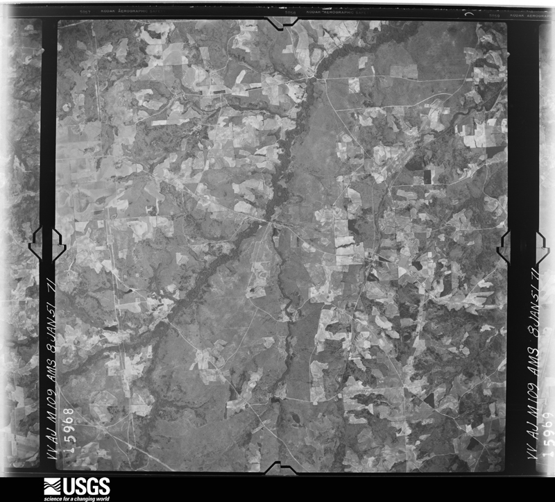
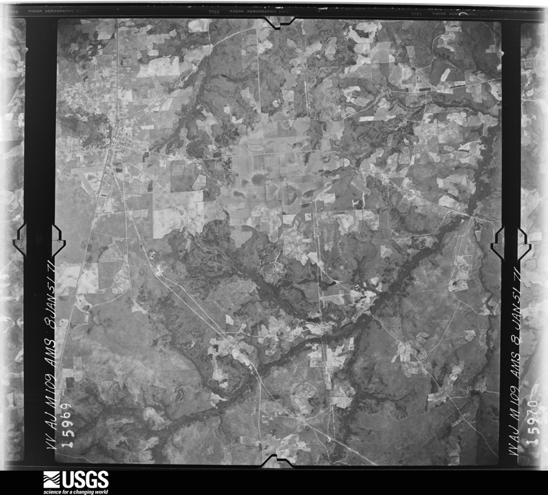
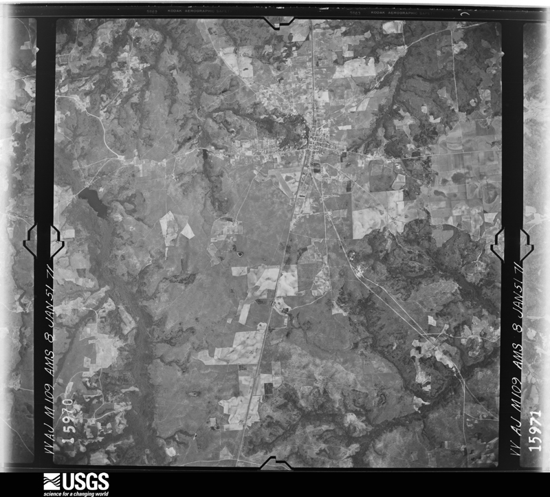
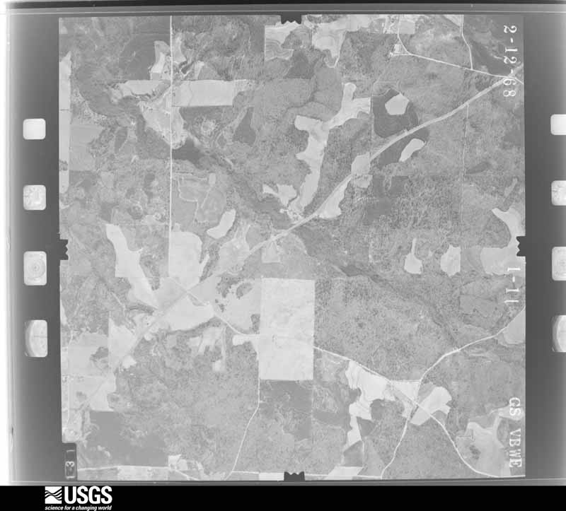
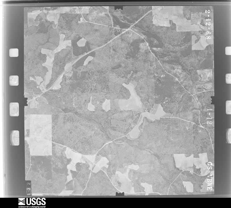
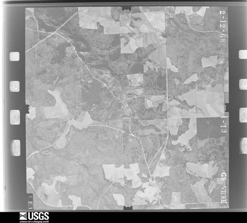
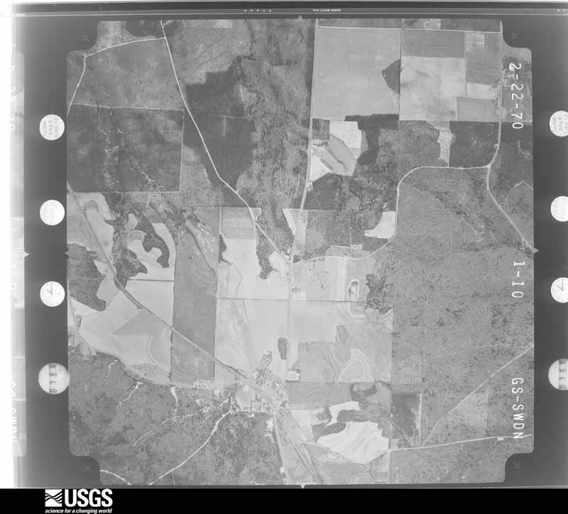
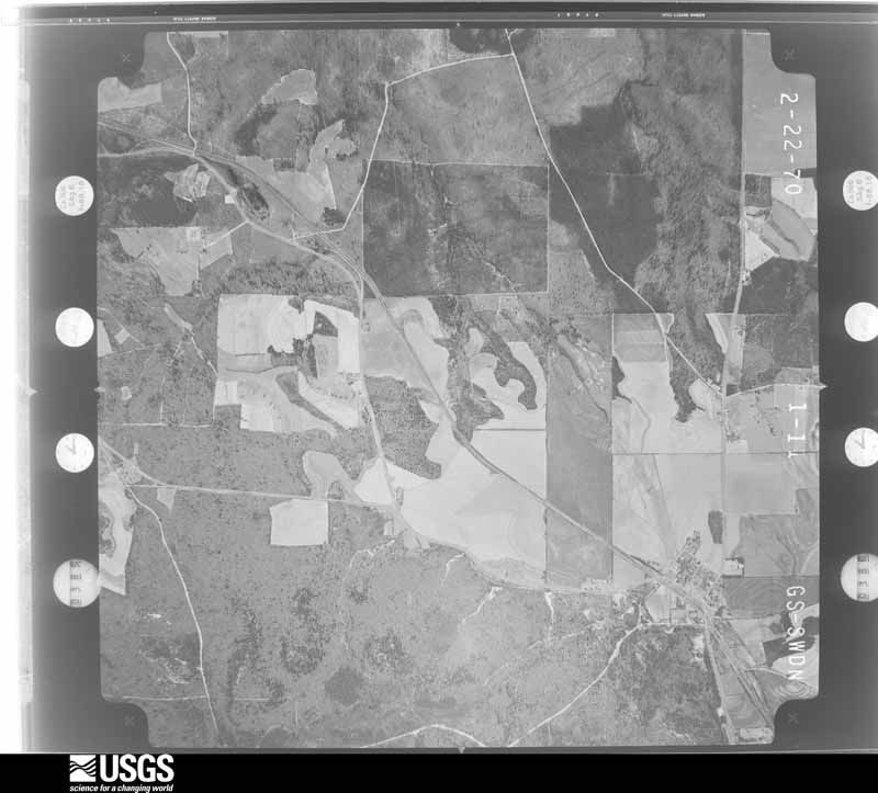
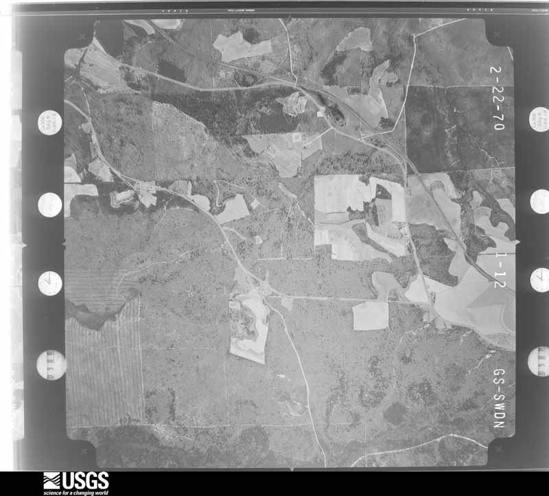
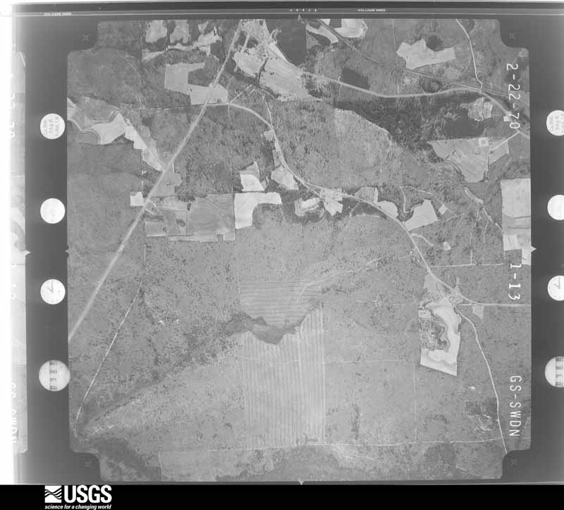
Flown by the U.S. Geological Survey between 1937 and 1989, the Aerial Photo Single Frames collection is the definitive mid-century view of the land: fields, roads and rivers as the camera saw them. The Survey holds 677 frames inside the rectangle that bounds this county; the 15 frames below were taken over the county itself, chosen across the decades of flights (at most four a year from that rectangle), so one flight cannot crowd out the rest. The full set is free to browse and download at EarthExplorer under the dataset Aerial Photo Single Frames.




The thermometers that kept this county's weather, and the gages that measured the flow of its streams, as the federal records hold them. The extremes below are measured values from those records, not estimates.
Who lived here in 1950, one enumeration district at a time, as the Census Bureau described each district. Each row opens its official National Archives result, with Population Schedules and ED Maps available there.
Every wildfire the federal occurrence database records inside this county: 1,065 of them, burning about 7,152 acres. 73 started naturally and 139 were recorded as arson. Each settlement page carries the fires within five miles of it.
| Reported cause | Fires |
|---|---|
| Debris and open burning | 585 |
| Arson/incendiarism | 139 |
| Natural | 73 |
| Equipment and vehicle use | 72 |
| Missing data/not specified/undetermined | 55 |
| Railroad operations and maintenance | 54 |
| Smoking | 39 |
| Misuse of fire by a minor | 26 |
| Recreation and ceremony | 22 |
The five largest, by the area the report gives. Two of them were set deliberately.
| Date | Cause | Size | Reported by | Name on the report |
|---|---|---|---|---|
| 2 June 2006 | Natural | 224 acres | Georgia Forestry Commission | not named |
| 20 June 2009 | Debris and open burning | 211 acres | Georgia Forestry Commission | not named |
| 10 April 2013 | Arson/incendiarism | 180 acres | Georgia Forestry Commission | FY2013-TAYLOR-034 |
| 7 May 2018 | Arson/incendiarism | 177 acres | Georgia Forestry Commission | FY2018TAYLOR027 |
| 8 January 2020 | Debris and open burning | 174 acres | Georgia Forestry Commission | FY2020TAYLOR023 |
| 17 July 2004 | Natural | 173 acres | Georgia Forestry Commission | not named |
| 22 February 2011 | Debris and open burning | 118 acres | Georgia Forestry Commission | FY2011-TAYLOR-035 |
| 8 April 2006 | Natural | 114 acres | Georgia Forestry Commission | not named |
Every settlement page carries the fires within five miles of it - see the settlement index below.
The NOAA Storm Events Database holds 164 reports for this county, causing 2 deaths, 17 injuries and about $5,923,700 in recorded property damage. Each settlement page carries the reports that name it.
| Kind of event | Reports |
|---|---|
| Thunderstorm Wind | 100 |
| Hail | 33 |
| Tornado | 20 |
| Lightning | 4 |
| Flash Flood | 4 |
| Flood | 2 |
| Heavy Rain | 1 |
The most serious of them, by death, then injury, then recorded damage. The accounts are quoted exactly as the forecast office filed them.
| When | Event | Place named | Harm | What the report says |
|---|---|---|---|---|
| March 2007 | Tornado (EF2) | Potterville | 1 killed, 4 hurt, $500,000 | A damage survey conducted by the National Weather Service in Peachtree City, GA concluded that an EF2 tornado had tracked across a 7-mile stretch of eastern Taylor county from about three miles southwest of Potterville to about two miles east of Reynolds. The tornado traveled a path of between seven and eight miles with a maximum path width of 448 yards or roughly 1/3 of a mile wide. The heaviest damage was southwest of Potterville, where two mobile homes were destroyed and others were damaged. One of the mobile homes was rolled. One death and four injuries were reported in the area of the damaged and destroyed mobile homes. Numerous trees and power lines were down throughout the area. Several were down on Bear Road in Potterville. Damage to trees and roofs of several homes continued through and east of Reynolds, although the damage in this area was not as severe. |
| May 2003 | Flash Flood | Carsonville | 1 killed | The Taylor county Emergency Management Director reported that a 42-year old male drowned in flood waters along U.S. Highway 80, just west of Carsonville. The highway was flooded because of excessive rain from the night before which caused a small creek to become flooded and overflow the roadway. The car became submersed in the flooded waters. |
| March 1954 | Tornado (F3) | not stated | 10 hurt, $2,500,000 | no account filed |
| August 2005 | Tornado (F1) | Fickling Mill | 1 hurt, $250,000 | The Taylor County Emergency Management Director confirmed that an F1 tornado occurred in extreme northeast Taylor county, touching down 1/2 mile south of the town of Fickling Mill, then traveled northwest for a distance of three to four miles, terminating near the Flint River and the Upson county line. The damage path was three to four miles long and 200 to 300 yards wide. Two site-built homes were destroyed at the touch down point. A man was trapped in his truck by downed power lines and had to be rescued. He sustained minor injuries during the ordeal. Eight other homes near Fickling Mill sustained minor roof damage, while one mobile home was destroyed in this same area. Hundreds of trees were blown down or uprooted along the path of the tornado, including extensive damage to a pecan orchard just north of Georgia Highway 137 and Fickling Mill. Several power lines were also brought down by the wind and downed trees. Only minor tree damage to a largely rural area was reported north of Fickling Mill to the Flint River and the Upson county line. |
| June 1994 | Tornado (F0) | Butler | 1 hurt, $50,000 | A weak and short-lived tornado overturned a trailer 1 mile north of Butler along U.S. 19. One person was injured and the trailer the trailer sustained major damage. One commercial building in the vicinity of the trailer had its roof blown off. |
| July 1994 | Thunderstorm Wind | Butler | 1 hurt, $5,000 | Several people reported seeing a funnel cloud. Thunderstorm winds damaged several buildings and mobile homes. One woman suffered minor injuries. |
| April 2011 | Thunderstorm Wind | Carsonville | $1,000,000 | The Taylor County Emergency Management Director reported extensive and widespread damage across the county from hundreds of downed trees and dozens of downed power lines. Up to 30 homes in the county sustained minor to moderate damage, with one home sustaining major damage. In addition, five businesses were damaged. Damage was particularly severe in the Reynolds area. Parts of Taylor county, including the city of Reynolds, were declared in a local state of emergency as a result of the widespread damage. |
| March 1991 | Tornado (F1) | not stated | $250,000 | no account filed |
| February 2008 | Tornado (EF0) | Mauk | $200,000 | An aerial and ground survey conducted by the National Weather Service, the Georgia State Patrol, and the Taylor County Emergency Management Director confirmed that the EF0 tornado, that originated in Alabama, crossed into Stewart county at 455 pm EST, Chattahoochee county at 505 pm EST, and then Marion county at 526 pm EST, continued into Taylor county, entering the county just south of Mauk at the intersection of the county line and Georgia Highway 127/240C. The tornado then continued on an east-northeastward track across the county, exiting into Crawford county where the county line and Georgia Highway 137 intersect, east of Flickling Mill. The tornado passed about three miles northeast of the county seat of Butler where two mobile homes off Georgia Highway 137 on Wainwright Road were destroyed and three others were heavily damaged. Numerous trees and power lines were downed along the spotty damage path produced by the tornado. Several reports of funnel clouds and rotating wall clouds were received from storm spotters and the public in the Howard area. |
| September 2009 | Flood | Howard | $125,000 | The Taylor County Emergency Management reported that flooding continued for several hours after the flash flooding subsided. Several roads remained under water throughout the night. Additional road damage was observed. |
| September 2009 | Flash Flood | Howard | $125,000 | The Taylor County Emergency Management Director reported extensive flash flooding across western Taylor county. At least 11 dirt roads and several bridges were washed out in the area between Mauk and Howard where over eight inches of rain fell in a 6-hour period. Some of the roads washed out included Watson Road, Kelly Foster Road and Parker Road. Several creeks were well out of their banks across the region. |
| January 2017 | Tornado (EF1) | Howard | $100,000 | A National Weather Service survey team found that an EF1 tornado with maximum winds of 105 MPH and a maximum path width of 400 yards began in western Taylor County along Highway 96 east of Junction City where a few trees were snapped. The tornado moved northeast snapping and uprooting trees as it crossed Watson Pond Road, North Culverhouse Road and Suddeth Road. As the tornado crossed Wilson Road it destroyed two metal barns and a small silo that was ripped from the ground and thrown at least 300 yards. This is where the tornado reached its maximum estimated strength blowing windows out of a home and causing significant roof damage. The tornado then continued northeast snapping and uprooting trees. Just northeast of Highway 19 along Montford Road a trailer sustained significant damage to the roof and siding and several large trees were blown down. The tornado weakened quickly after this as it moved northeast across a wooded area and ended in a pasture before reaching County Road 108. [01/21/17: Tornado #5, County #1/1, EF1, Taylor, 2017:006]. |
| March 1996 | Thunderstorm Wind | Reynolds | $100,000 | no account filed |
| February 2009 | Tornado (EF0) | Potterville | $50,000 | The Taylor County Emergency Management Director reported that an EF0 tornado touched down near the intersection of Tommy Purvis Junior Road and Eubanks Drive in Reynolds and traveled eastward along a three to four mile long path. One home was damaged and a mobile home was moved off its foundation. At least 10 trees were down in the area, including several across one road. A tractor barn was damaged, the roof was blown off an old store, and a double-wide mobile home was damaged. The maximum path width was estimated to be 33 yards (100 feet) with maximum winds estimated to be 70 mph. |
| July 2003 | Lightning | Butler | $50,000 | The Taylor County News of Butler reported that lightning struck an empty house being used for storage and set it on fire. The house and its contents were a total loss. |
| February 2017 | Thunderstorm Wind | Mauk | $30,000 | The Taylor County Emergency Manager reported several trees and power lines blown down across western Taylor County. One tree fell on a house and a car near Black Creek Trail and a mobile home was damaged near the intersection of Parks Road and Black Creek Trail. A downed power line blocked Highway 96 near the intersection with Parks Road. |
| June 2007 | Thunderstorm Wind | Mauk | $30,000 | The Taylor County Emergency Management Director reported that strong thunderstorm winds caused considerable damage in the Mauk area. The roof was blown off a home. An adjacent beauty shop was also damaged. Another home in the nearby area also sustained damage from the strong winds. A number of trees were down across the county, many in the Mauk area. Several power lines were also blown or knocked down. |
| January 2021 | Tornado (EF0) | Fickling Mill | $25,000 | A National Weather Service survey found that an EF0 tornado with maximum wind speeds of 75 MPH and a maximum path width of 150 yards touched down north of Butler near the intersection of Jack Peed Road and Hwy 19. Several small to medium-sized trees were snapped or uprooted with debris thrown across the highway. The tornado moved northeast in the area to the northwest of Lt. Peed Road before ending just northeast of the intersection of County Road 108 and E. Old Wire Road. Several trees were snapped or uprooted and minor roof damage occurred to a home near the intersection of Lt. Peed Road and E Old Wire Road. [1/1/21: Tornado #1, County #1/1, EF-0, Taylor, 2021:001]. |
| February 2019 | Thunderstorm Wind | Jarrell | $25,000 | Numerous trees and power lines were blown down across the northern portion of the county. Two homes received damage to their roofs near the intersection of Highway 19 and Wilson Road. |
| March 2019 | Tornado (EF0) | Rupert | $25,000 | A National Weather Service survey found that an EF0 tornado with maximum wind speeds of 70 mph and a maximum path width of 200 yards occurred in Taylor County. The tornado touched down just east of Highway 19 south of Rupert and east northeast crossing Prosperity Church Road snapping or uprooting several trees. The storm then moved across an uninhabited portion of Taylor County along Cedar Creek crossing County Road 194 where several trees were snapped at a residence and crossing Highway 90 before dissipating. No injuries were reported. [03/03/19: Tornado #8, County #1/1, EF0, Taylor, 2019:013]. |
| July 2016 | Thunderstorm Wind | Fickling Mill | $25,000 | The Taylor County Emergency Manager reported that shingles were blown off of a house and an attached carport was damaged at a home near the intersection of Highway 137 and Suggs Mill Road. A camper across the road from the house was rolled and damaged. |
| June 2011 | Thunderstorm Wind | Fickling Mill | $25,000 | The Taylor County Emergency Management Director reported that several trees were down around Fickling Mill in the northeast part of the county. Three homes sustained minor damage from downed trees and large downed tree limbs. Three power poles were also down in the vicinity. |
| September 2009 | Flood | Griffith | $25,000 | The Taylor County Emergency Management Director reported that general flooding continued across eastern Taylor county for several hours after the flash flooding of the late evening hours of the 17th had subsided. Several roads, including Georgia Highway 96, remained under water for several hours. Additional damage was minimal compared to earlier flash flood-related damage. |
| September 2009 | Flash Flood | Griffith | $25,000 | The Taylor County Emergency Management Director reported a secondary flash flood event in the eastern part of the county as thunderstorms developed and began to train over that portion of the county as well. Georgia Highway 96, a major thoroughfare through the area, was flooded and closed just west of the Crawford county line. Portions of Georgia Highway 128 were also flooded near the Crawford county line as well. While damage to roads and bridges in the eastern portion of the county was not as extensive as in the western portion, significant damage was still observed. |
| March 2007 | Thunderstorm Wind | Rupert | $25,000 | The Taylor County 911 Center reported that a number of trees were down just south of Rupert near the intersection of U.S. Highway 19 and Georgia Highway 90. A home was damaged on Crossroad School Road northeast of Rupert. One individual was trapped in this home, but not injured. |
| July 1967 | Tornado (F2) | not stated | $25,000 | no account filed |
| February 1962 | Tornado (F2) | not stated | $25,000 | no account filed |
| February 1961 | Tornado (F2) | not stated | $25,000 | no account filed |
| March 1954 | Tornado (F1) | not stated | $25,000 | no account filed |
| March 1954 | Tornado (F1) | not stated | $25,000 | no account filed |
| March 1996 | Thunderstorm Wind | Butler | $20,000 | no account filed |
| June 2018 | Thunderstorm Wind | Griffith | $15,000 | The Taylor County Emergency Manager reported 4 to 5 mature pecan trees blown down near the intersection of Highway 137 and Montfort Road. |
| February 2009 | Thunderstorm Wind | Potterville | $15,000 | The Taylor County 911 Center reported that several trees were down near Reynolds. One home was damaged from a downed tree. |
| June 2007 | Thunderstorm Wind | Reynolds | $15,000 | The Taylor County Emergency Management Director reported that a thunderstorm downburst or microburst blew a roof and rollup door off a shop. Several large tree limbs were blown off trees in the area as well. |
| April 2020 | Thunderstorm Wind | Reynolds | $10,000 | Several reports of trees down and powerlines down in and around Reynolds. A carport was also destroyed by a new construction home. |
| April 2017 | Tornado (EF0) | Howard | $10,000 | A National Weather Service survey team found a long-track tornado path across southeast Talbot County that briefly crossed into Taylor County before crossing back into Talbot County and ending. The entire path length was nearly 22 miles and the maximum path width was 700 yards. As the tornado crossed into Taylor County it had weakened to EF-0 with maximum wind speed around 75 MPH and a maximum width around 100 yards. The tornado caused mainly minor damage to softwood trees and travelled around a mile before crossing back into Talbot County. No injuries were reported. [04/27/17: Tornado #1/1, County #2/3, EF-0, Talbot, Taylor, Talbot, 2017:067]. |
| April 2016 | Tornado (EF0) | Reynolds | $10,000 | A National Weather Service survey team found that a weak tornado touched down near the intersection of State Highway 128 and Thomas Road. The EF-0 tornado with maximum winds around 80 MPH snapped and uprooted several trees, overturned a camper and destroyed a small shed along Thomas Road before crossing the Flint River into Crawford County. [04/01/16: Tornado #1, County #1-2, EF0, Taylor-Crawford, 2016:001]. |
| August 2015 | Thunderstorm Wind | Five Pts | $10,000 | The Taylor County 911 Center reported trees and power lines blown down across Highway 208 near Lake Mary and near the intersection of Montfort Road and U.S Highway 19. |
| July 2014 | Thunderstorm Wind | Potterville | $10,000 | The Taylor County Emergency Manager reported that several trees were blown down or snapped, causing power outages in the Potterville area. A large door on the south side of a fire station located on Tommy Purvis Jr. Road was blown into the building. The roof and a brick wall on the south side of a building near the fire station collapsed. |
| August 2004 | Lightning | Butler | $10,000 | The Taylor County News of Butler reported that lightning struck a pine tree at a private residence, marring the tree, then traveling underground to the adjacent house. The lightning traveled to the front porch, knocking bricks off the steps and a support beam from the center of the front porch. From there, the lightning traveled inside the home where several electrical sockets were blown from the walls. |
| April 2015 | Thunderstorm Wind | Mauk | $8,000 | The Taylor County 911 center reported numerous trees blown down across the county with the greatest number around Butler. A large tree fell on a shed on Ed Davis Road. |
| July 2015 | Thunderstorm Wind | Butler Muni Arpt | $6,000 | The Taylor County 911 Center reported multiple trees blown down. |
| November 2014 | Thunderstorm Wind | Butler | $6,000 | The Taylor County 911 Center reported trees and power lines down across the county. |
| May 2009 | Thunderstorm Wind | Butler | $5,000 | The Taylor County 911 Center reported that several trees and power lines were blown down in the southern part of the county, between Butler and Charing. Doppler velocity base radar data strongly suggests that additional trees were likely blown down in very rural areas further eastward as well, between Rupert, Butler, and Potterville. The 911 Center reported that some trees were down in many areas of the county. A few trees were down on Georgia Highway 137 southwest of Roberta. |
| December 2005 | Hail | Charing | $5,000 | The Georgia Forestry Commission along with the Taylor County 911 Center reported an extensive swath of large hail across the southern portion of the county, basically from the Marion county line on the west near Charing, across Rupert, to near the Crawford county line on the east near Potterville. Hail ranged in size from quarters to golf balls along the path, including on U.S. Highway 19 near Rupert. |
| June 1994 | Thunderstorm Wind | Butler | $5,000 | Numerous power outage occurred when several trees and power lines were downed by thunderstorm winds. |
| February 1993 | Thunderstorm Wind | Butler | $5,000 | Numerous trees, tree limbs and power lines were downed. |
| August 2023 | Thunderstorm Wind | Charing | $4,000 | Emergency Manager reported a few trees down along Pole Hill Mill Rd near Taylor County Rd. |
| June 2019 | Thunderstorm Wind | Griffith | $4,000 | The Taylor County Emergency Manager reported trees blown down along Roberta Highway from around Fickling Mill Road to Highway 128. |
| June 2019 | Thunderstorm Wind | Potterville | $4,000 | The Taylor County Emergency Manager reported trees blown down southeast of Reynolds from Tommy Purvis Jr. Road to General John B. Gordon road. |
| July 2007 | Thunderstorm Wind | Carsonville | $4,000 | The Taylor County Emergency Management Director reported that one tree and two power lines were down in the northern part of the county near Carsonville, while three trees and two power lines were down in the city of Reynolds. |
| May 2024 | Thunderstorm Wind | Griffith | $3,000 | Trees and powerlines down at Montfort Road and Jeff Young Road. |
| January 2020 | Thunderstorm Wind | Five Pts | $3,000 | The Taylor County Emergency Manager reported trees blown down near the intersection of Wesley Church Road and Lawdon Road. |
| June 2018 | Thunderstorm Wind | Fickling Mill | $3,000 | The Taylor County 911 center reported trees blown down around the intersection of Wainwright Cemetery Road and the Roberta Highway northwest of Reynolds and on Golf Course Drive north of Reynolds. |
| July 2012 | Thunderstorm Wind | Butler | $3,000 | The Taylor County Emergency Manager reported that a few trees and a few power lines were blown down on several roads near Butler, including Ed Davis Road, Americus Road, Crossroad School Road, and North Davis Road. |
| August 2012 | Thunderstorm Wind | Butler | $3,000 | Several trees were blown down, some onto power lines, mainly along Highway 96 between Butler and Reynolds. |
| August 2007 | Thunderstorm Wind | Butler | $3,000 | The Taylor County Emergency Management Director reported that 10 trees and a couple of power lines were down from near Butler to between Butler and Reynolds. A number of trees were down along U.S. Highway 19 near Butler. A couple of trees were also down northeast of Butler. |
| January 2013 | Thunderstorm Wind | Howard | $2,500 | The Taylor County Emergency Manager reported that several trees were blown down across the county between 345 and 400 PM, especially along Highway 96 both west and east of Butler. |
| April 1997 | Thunderstorm Wind | Butler | $2,500 | no account filed |
| June 2016 | Thunderstorm Wind | Mauk | $2,000 | The Taylor County 911 center reported trees blown down around the intersection of Highways 137 and 90 and in Mauk. |
The Survey's mineral resources record lists 4 workings inside this county. 2 still produce and 2 are closed or unrecorded. Each settlement page carries the workings within five miles of it.
| Commodity | Workings |
|---|---|
| Sand and Gravel, Construction | 4 |
The least common of them first, because a county's hundredth gravel pit says nothing its first ten did not.
| Where | Site | Commodity | Status | Recorded |
|---|---|---|---|---|
| Butler Mine | Sand and Gravel, Construction | Producer | ||
| Butler Pit | Sand and Gravel, Construction | Occurrence | Sedimentary | |
| Howard Mine | Sand and Gravel, Construction | Producer | ||
| Howard Pit | Sand and Gravel, Construction | Occurrence | Alluvium |
Named settlements recorded in the Geographic Names Information System, each with the topographic sheets covering it. Villages, hamlets and abandoned places alike. Each is shown with the nearest named watercourse or landform and the survey quadrangle it falls on. The 2 places that were also surveyed for fire insurance come first, with the number of atlases and photographs held for them.
Butler census division · 31006 · Butler East quadrangle
7 sheets, 1955 to 1981
Fire insurance: 2 atlases
Reynolds census division · 31076 · Reynolds quadrangle
8 sheets, 1955 to 1981
Fire insurance: 2 atlases
Reynolds census division · 31076 · On Little Vine Creek · Reynolds quadrangle
8 sheets, 1955 to 1981