 Block
From the record
3 National Register listings published here.
Sources: the National Register database, National Park Service
30 topographic sheets and 5 fire insurance atlases across 1 place.
3 National Register listings published here.
Sources: the National Register database, National Park Service
Taken for the Office of War Information and the Farm Security Administration, who photographed the country between 1935 and 1944. Works of United States government photographers, with no known restriction on use. Each opens its catalogue record.
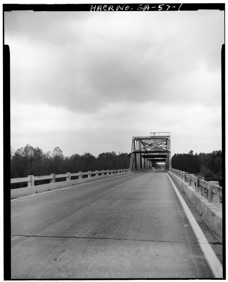
Every property in this county listed on the National Register of Historic Places, with the year it was listed and the federal nomination document.
| Photograph | Property | Type | Listed | Reference |
|---|---|---|---|---|
 | Max and Emma Sue McRae House | building | 2007 | 07000087 |
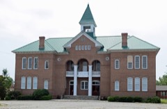 | South Georgia College Administration Building | building | 1980 | 80001243 |
 | Telfair County Courthouse and Jail | building | 1995 | 95000720 |
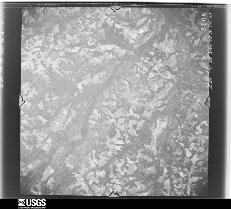
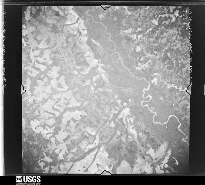
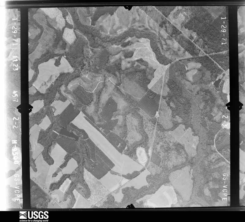
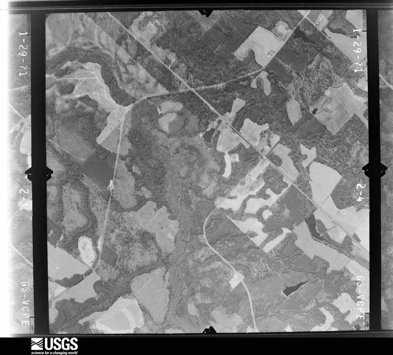
Flown by the U.S. Geological Survey between 1937 and 1989, the Aerial Photo Single Frames collection is the definitive mid-century view of the land: fields, roads and rivers as the camera saw them. The Survey holds 963 frames inside the rectangle that bounds this county; the 22 frames below were taken over the county itself, chosen across the decades of flights (at most four a year from that rectangle), so one flight cannot crowd out the rest. The full set is free to browse and download at EarthExplorer under the dataset Aerial Photo Single Frames.






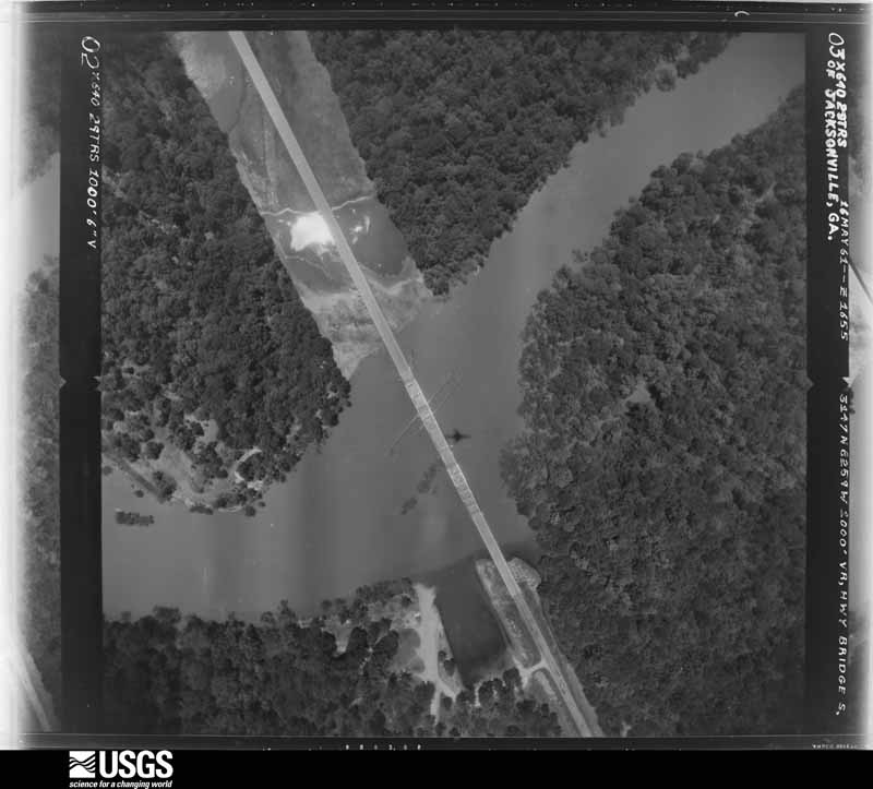
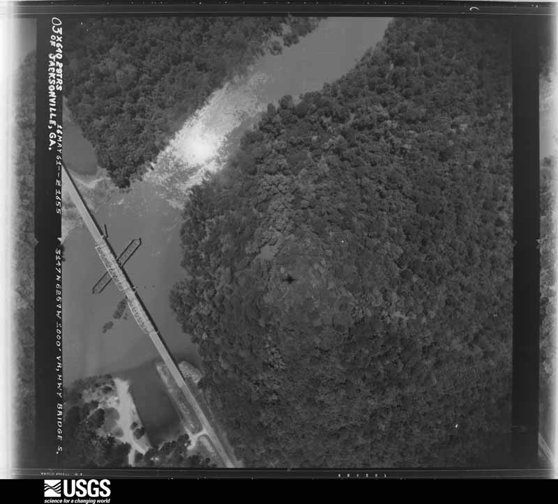
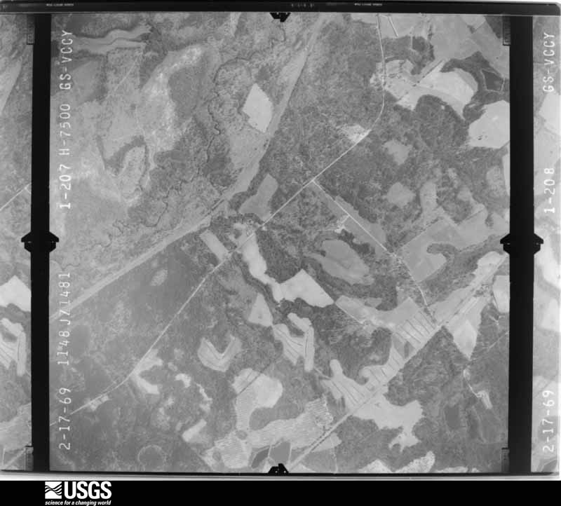
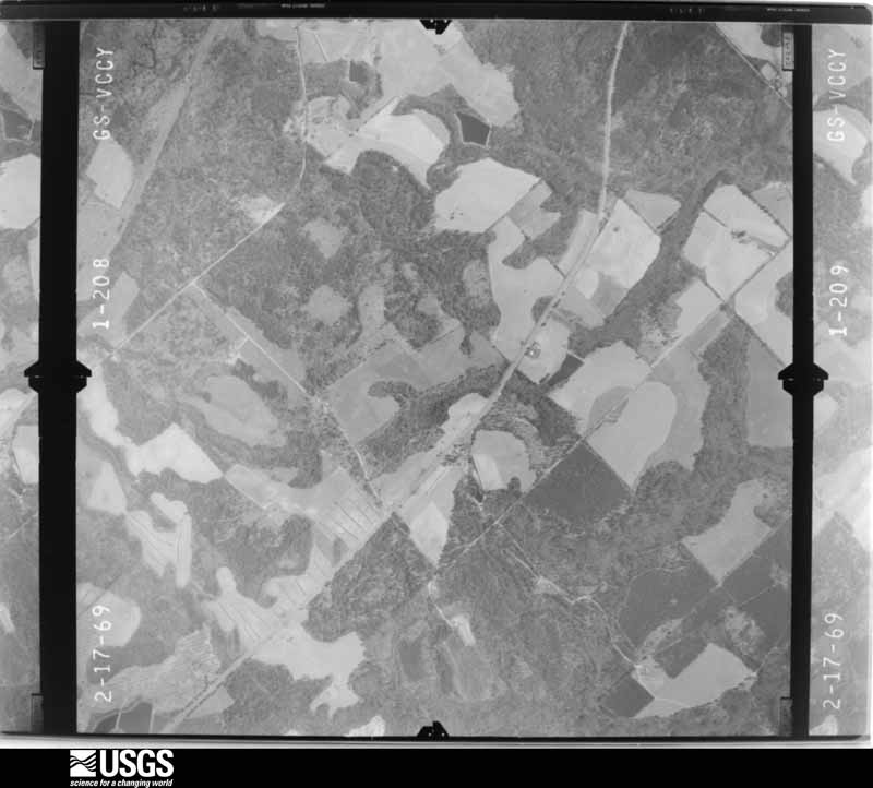
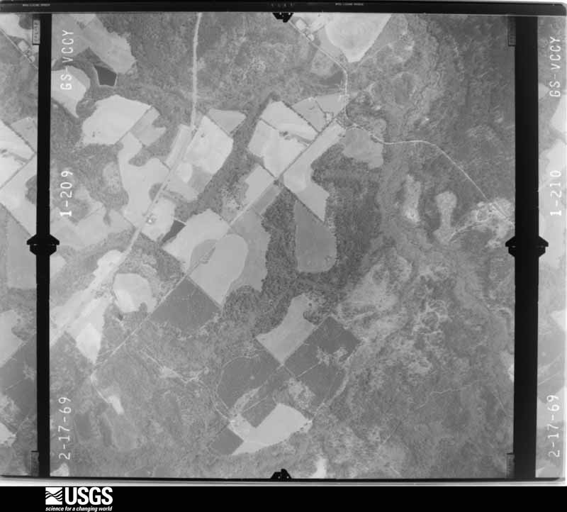
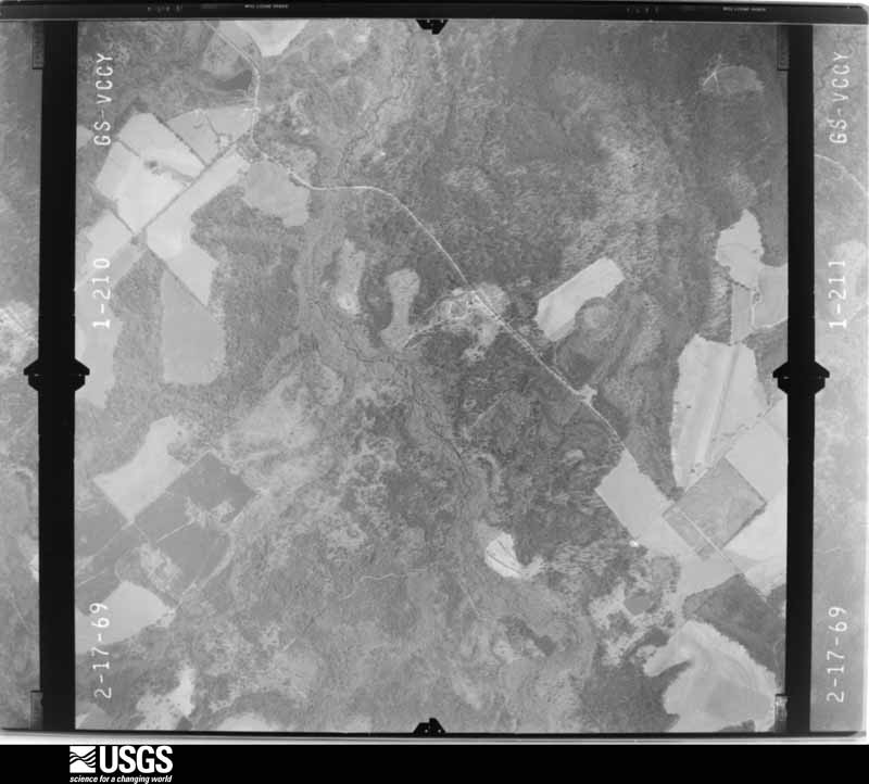
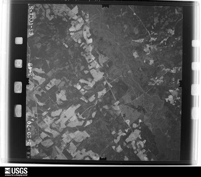
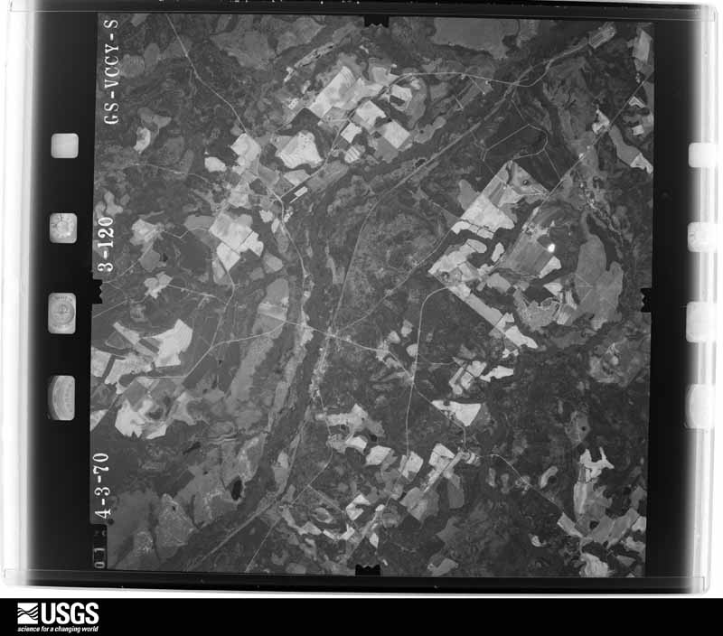
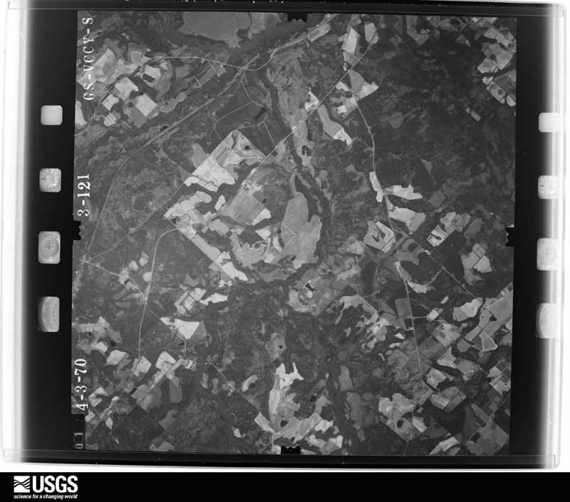
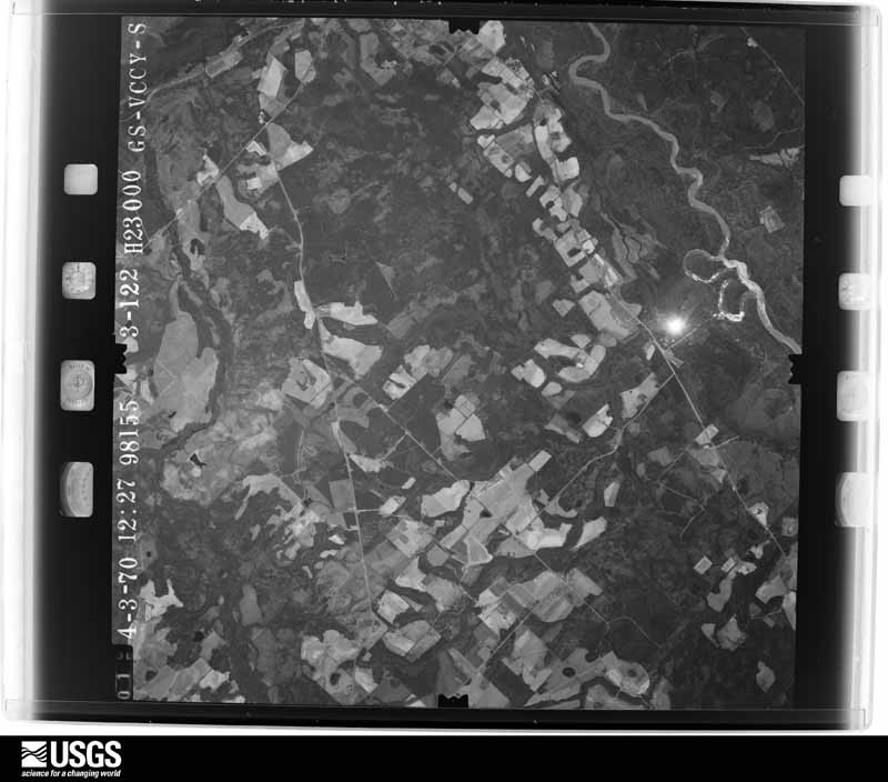
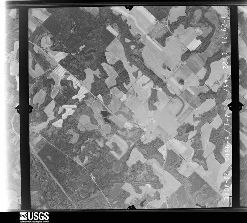
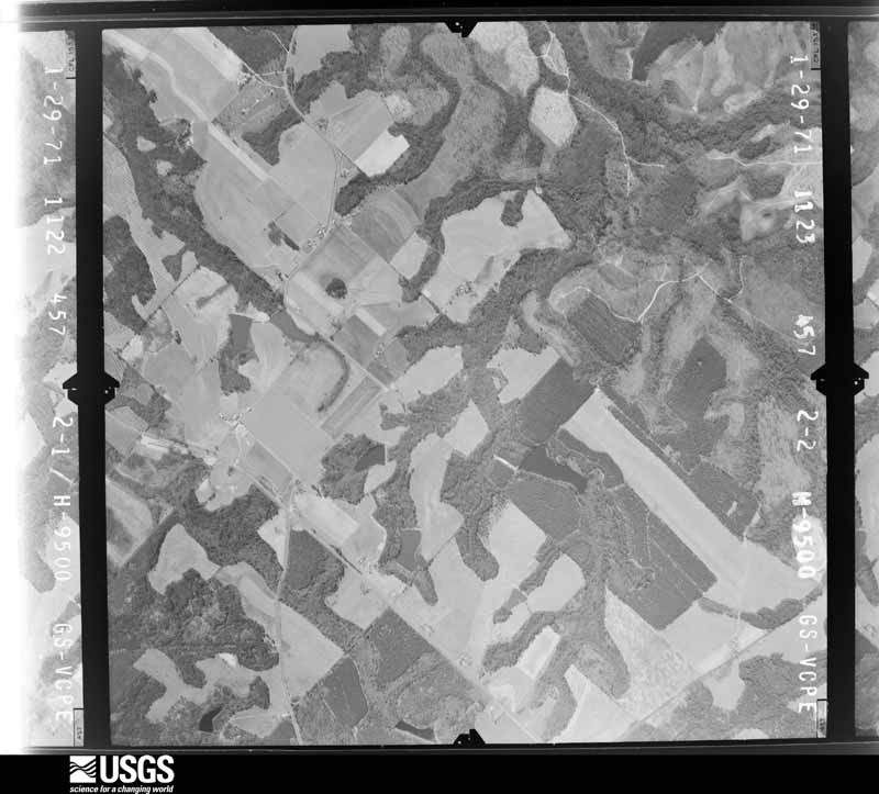
The thermometers that kept this county's weather, and the gages that measured the flow of its streams, as the federal records hold them. The extremes below are measured values from those records, not estimates.
Who lived here in 1950, one enumeration district at a time, as the Census Bureau described each district. Each row opens its official National Archives result, with Population Schedules and ED Maps available there.
Every wildfire the federal occurrence database records inside this county: 2,318 of them, burning about 7,555 acres. 149 started naturally and 464 were recorded as arson. Each settlement page carries the fires within five miles of it.
| Reported cause | Fires |
|---|---|
| Debris and open burning | 1228 |
| Arson/incendiarism | 464 |
| Equipment and vehicle use | 248 |
| Natural | 149 |
| Missing data/not specified/undetermined | 122 |
| Recreation and ceremony | 40 |
| Misuse of fire by a minor | 32 |
| Smoking | 23 |
| Railroad operations and maintenance | 12 |
The five largest, by the area the report gives. Two of them were set deliberately.
| Date | Cause | Size | Reported by | Name on the report |
|---|---|---|---|---|
| 18 March 2017 | Debris and open burning | 332 acres | Georgia Forestry Commission | FY2017-TELFAIR-056 |
| 8 February 1996 | Debris and open burning | 230 acres | Georgia Forestry Commission | not named |
| 3 April 2018 | Debris and open burning | 144 acres | Georgia Forestry Commission | FY2018TELFAIR048 |
| 23 February 2000 | Debris and open burning | 121 acres | Georgia Forestry Commission | FY2000-TELFAIR-098 |
| 3 September 2011 | Missing data/not specified/undetermined | 116 acres | Georgia Forestry Commission | FY2012-TELFAIR-013 |
| 23 February 2000 | Debris and open burning | 111 acres | Georgia Forestry Commission | FY2000-TELFAIR-100 |
| 23 May 1994 | Arson/incendiarism | 104 acres | Georgia Forestry Commission | not named |
| 19 January 2001 | Arson/incendiarism | 100 acres | Georgia Forestry Commission | FY2001-TELFAIR-046 |
Every settlement page carries the fires within five miles of it - see the settlement index below.
The NOAA Storm Events Database holds 155 reports for this county, causing 1 death, 3 injuries and about $1,363,600 in recorded property damage. Each settlement page carries the reports that name it.
| Kind of event | Reports |
|---|---|
| Thunderstorm Wind | 100 |
| Hail | 28 |
| Tornado | 13 |
| Flash Flood | 6 |
| Flood | 4 |
| Lightning | 3 |
| Funnel Cloud | 1 |
The most serious of them, by death, then injury, then recorded damage. The accounts are quoted exactly as the forecast office filed them.
| When | Event | Place named | Harm | What the report says |
|---|---|---|---|---|
| April 1957 | Tornado (F3) | not stated | 1 killed, 3 hurt, $25,000 | no account filed |
| April 2011 | Thunderstorm Wind | Milan | $250,000 | The Telfair County Emergency Management Director reported that several trees and power lines were down across the county. However, much of the damage occurred in the Lumber City area in the far southeastern part of the county. Here, one unit of the Village Square Apartments was destroyed and three other units sustained minor to moderate damage. |
| May 1984 | Tornado (F1) | not stated | $250,000 | no account filed |
| March 2005 | Flash Flood | Milan | $100,000 | The Telfair Enterprise reported that early morning heavy rain, on the order of four inches or more, resulted in damage to several county roads. County Road 13 and County Road 106, between McRae and Milan were washed out and would require extensive repair. A pair of large sinkholes had developed on County Road 13 from the pressure of the extensive runoff. Drainage pipes were washed out from the under the roads and swept quite some distance away from their original location. |
| February 2020 | Thunderstorm Wind | Jacksonville | $50,000 | The Telfair County Emergency Manager reported trees and power lines blown down in the Jacksonville area. One tree fell onto a house on East River Road causing moderate damage to the home, no injuries were reported. |
| March 2019 | Tornado (EF0) | Workmore | $50,000 | A National Weather Service survey found that an EF0 tornado with maximum wind speeds of 80 mph and a maximum path width of 150 yards occurred in Telfair County. The tornado touched down near the town of Workmore around the intersection of Workmore Milan Road and Macedonia Church Road where a porch was torn off of a home and tossed around 100 yards. Minor roof damage occurred to the home and a power pole was snapped nearby. The tornado travelled north northeast along Macedonia Church Road snapping or uprooting over a dozen trees before dissipating near the intersection with Big Horse Creek Road. No injuries were reported. [03/03/19: Tornado #5, County #1/1, EF0, Telfair, 2019:010]. |
| January 2017 | Thunderstorm Wind | Milan | $50,000 | The Telfair County Emergency Manager reported numerous trees and power lines blown down across the northern end of the county. A house at the intersection of Highway 280 and Bethel Church Road had shingles blown off of the roof and a shed destroyed. In the Whatley vineyard area, around the intersection of Highway 341 and Whatley Farm Road, 20-25 trees were uprooted or snapped. |
| April 1998 | Lightning | Scotland | $50,000 | Fire started by lightning destroyed a restored 1800s vintage home. |
| October 1993 | Thunderstorm Wind | Lumber City | $50,000 | Numerous large trees toppled by thunderstorm winds damaged several power transformers. |
| May 2003 | Thunderstorm Wind | Mc Rae | $45,000 | The Telfair county Emergency Management Director reported that some trees had been blown down. The Telfair Enterprise of McRae reported that one vehicle was destroyed when it was crushed by a tree that fell during the storm. In McRae, the Glory Bound Baptist Church suffered extensive damage when two large pine trees fell through the roof of the church. All together there were seven holes in the roof of the church which occurred when the large pine trees fell on the roof. |
| March 2019 | Tornado (EF0) | Workmore | $30,000 | A National Weather Service survey found that an EF0 tornado with maximum wind speeds of 85 mph and a maximum path width of 100 yards occurred in Telfair County. The tornado touched down on the west side of Big Horse Creek Road northwest of the intersection with East River Road and travelled a short distance east, across Big Horse Creek Road, before dissipating. In this area, a chicken house was lifted and thrown 50 feet onto a shed and several trees were snapped or uprooted. No injuries were reported. [03/03/19: Tornado #6, County #1/1, EF0, Telfair, 2019:011]. |
| May 2016 | Thunderstorm Wind | China Hill | $30,000 | The Telfair County Emergency Manager reported numerous trees blown down in the vicinity of Barkely Williams Road and Highway 117 in the China Hill area. Several small sheds and pontoon boats were overturned. Also, numerous trees were blown down north of Jacksonville on highway 319. |
| May 1995 | Thunderstorm Wind | Milan | $30,000 | Thunderstorm winds uprooted trees, resulting in downed power lines and the lost of electricity. |
| November 2015 | Tornado (EF1) | China Hill | $25,000 | A NWS survey team determined that a tornado occurred in southern Telfair county. The EF1 tornado with estimated maximum winds around 94 MPH began along Raymond Bloodworth Barkley West Road between County roads 54 and 52 near China Hill and travelled 1.63 miles east northeast before ending along State Highway 117 near China Hill Road east of China Hill. The tornado snapped 15 to 20 hardwood trees and caused structural damage to a building lifting the roof off. No injuries were reported. [11/02/15: Tornado #1, County #1-1, EF1, Telfair, 2015:009]. |
| November 2015 | Tornado (EF1) | Towns | $25,000 | A NWS survey team determined that a tornado occurred in southeastern Telfair county. The EF1 tornado with estimated maximum winds around 87 MPH began south of State Highway 134, west of Hugh McBride Road, and travelled .77 miles east northeast before ending along State Highway 134 east of Hugh McBride Road. The tornado snapped or uprooted numerous softwood and hardwood trees and caused structural damage to two center-pivot irrigation systems. No injuries were reported. The Telfair County 911 center reported a funnel cloud visible with this storm further east as it crossed U.S. Highway 341 north of Lumber City. Local law enforcement stopped traffic on the highway as the funnel cloud moved east, however they reported that there was no indication the circulation ever reached the ground and no damage was reported or found in this area. [11/02/15: Tornado #2, County #1-1, EF1, Telfair, 2015:010]. |
| July 1984 | Tornado (F0) | not stated | $25,000 | no account filed |
| December 1982 | Tornado (F2) | not stated | $25,000 | no account filed |
| June 1971 | Tornado (F1) | not stated | $25,000 | no account filed |
| May 2008 | Thunderstorm Wind | Mc Rae | $15,000 | The Telfair County 911 Center reported that several trees and power lines were down along the eastern border of the county from McRae, to Scotland, to Towns. |
| April 2018 | Thunderstorm Wind | Mc Rae | $10,000 | The Telfair County Emergency Manager reported numerous trees and power lines blown down from McCrae to Scotland, including on Oak Street near the McCrae County Courthouse and around the intersection of Highway 149 and Old Scotland Road. |
| August 2008 | Lightning | Towns | $10,000 | The Telfair County 911 Center reported that lightning ignited a structural fire. No specific information was provided. |
| May 2003 | Thunderstorm Wind | Countywide | $10,000 | The Telfair county Emergency Management Director reported that a number of trees were blown down around the county. At least 25 had to be removed from roads. |
| August 1999 | Thunderstorm Wind | Mc Rae | $10,000 | The McRae police and a utility company reported considerable damage from thunderstorm winds in McRae. One wall of an empty building on Railroad Street was blown down. Power lines were blown down on Walter Barrett Road. A tree fell on a truck on First Ave, and other trees were knocked down on Bruce Road and College Street. |
| May 2018 | Thunderstorm Wind | Mc Rae | $8,000 | The Telfair County Emergency Manager reported numerous trees and some power lines blown down across McRae from East Willow Creek Lane northward across the town. |
| June 2016 | Thunderstorm Wind | Workmore | $8,000 | The Telfair County 911 center reported several trees and power lines blown down. |
| May 1995 | Thunderstorm Wind | McRae | $7,000 | Numerous trees were reportedly downed across the entire county. Several large tree limbs were knocked over in McRae, damaging at least one home. Thunderstorm winds also knocked several mobile homes off of their foundations. A batting cage at one High School was completely destroyed by winds. |
| April 2015 | Thunderstorm Wind | China Hill | $6,000 | The Telfair County 911 center reported numerous trees blown down across the county with the highest concentration near Workmore. |
| May 2009 | Hail | Workmore | $6,000 | The public observed golf ball-sized hail just southwest of Workmore. Radar data suggests that large hail likely continued to the southeast side of Workmore. |
| June 2009 | Thunderstorm Wind | Scotland | $5,000 | The Telfair County 911 Center reported that at least 12 trees were down in the far eastern part of the county along the Wheeler county line from Scotland to Lumber City. |
| February 2008 | Thunderstorm Wind | Mc Rae | $5,000 | The Telfair County 911 Center reported that several pine trees were down on U.S. Highway 441 on the east side of McRae. A tractor-trailer rig hit one of the downed trees on the highway. |
| May 2008 | Thunderstorm Wind | Milan | $5,000 | The Telfair County 911 Center reported that dozens of trees were down across the northern part of the county from Milan on the Dodge/Telfair county line to McRae in the northeast part of the county near the Wheeler county line. A couple of roads were blocked, but no structural damage was reported. |
| May 2008 | Thunderstorm Wind | Mc Rae | $5,000 | The Telfair County 911 Center reported that several trees were blown down about the county. |
| December 2007 | Thunderstorm Wind | Helena | $5,000 | A storm survey conducted by the National Weather Service in Peachtree City, Georgia confirmed that straight-line winds of 70 to 80 mph blew down dozens of trees and many power lines north of Helena and Mcrae along Longbridge Road, near the Dodge and Wheeler county lines. |
| December 2006 | Thunderstorm Wind | Scotland | $5,000 | The Telfair County 911 Center reported that a number of trees were down in the Scotland area. Oak Ridge Road was blocked as a result. |
| August 2000 | Thunderstorm Wind | Cook Still | $5,000 | The Little OcMulgee Electric Membership Cooperative reported that several pine trees were down, one on a power line. |
| August 1994 | Thunderstorm Wind | Helena | $5,000 | Thunderstorm winds downed several power lines along U.S. Highway 23 which caused numerous power outages in Helena and McRae. |
| March 1993 | Thunderstorm Wind | McRae | $5,000 | A single trailer was blown over by thunderstorm winds. |
| June 2019 | Thunderstorm Wind | Workmore | $4,000 | The Telfair County Emergency Manager reported several trees blown down around the intersection of Workmore-Milan Road and Highway 441. |
| November 2014 | Thunderstorm Wind | Temperance | $4,000 | The Telfair County 911 Center reported trees and power lines down across western portions of the county. |
| April 1997 | Thunderstorm Wind | Helena | $3,500 | no account filed |
| June 2023 | Thunderstorm Wind | Workmore | $3,000 | Multiple trees down across road at hwy 441 and old prison camp road. |
| January 2017 | Thunderstorm Wind | Workmore | $3,000 | The Telfair County Emergency Manager reported several trees blown down in the Workmore area. |
| July 2016 | Thunderstorm Wind | Jacksonville | $3,000 | The Telfair County 911 center reported several trees blown down along Highway 441 with one tree blocking the roadway. |
| June 2016 | Thunderstorm Wind | Cook Still | $3,000 | The Telfair County 911 center reported trees blown down along Highway 165 and near the county line in the Milan area. |
| July 2015 | Thunderstorm Wind | Mc Rae | $3,000 | The Telfair County 911 Center reported two trees blown down around Industrial Boulevard and Oak Street. |
| July 2013 | Flash Flood | Helena | $3,000 | The stage height at a USGS stream gage on the Turnpike Creek at U.S. Highways 319 and 441 reached flood stage of 10 feet. The creek crest at 10.1 feet with minor flooding of woodlands and fields. The emergency manager reported a couple of road closures in the central portion of the county due to water covering roadways. |
| December 2009 | Flood | Temperance | $3,000 | The Telfair County Emergency Management Director reported minor flooding of some roads and property across the county, mostly adjacent to overflowing creeks and streams. A few roads were closed because of high water. Monetary damage was confined to minor debris removal in these areas. |
| April 2009 | Flood | Workmore | $3,000 | The USGS gage on Turnpike Creek reached the flood stage of 10.0 feet on April 2nd at 650 pm EDT. However, general flooding was observed in lowland areas near the creek as early as 230 pm EDT on April 2nd. The creek crested at 10.69 feet at 200 am EDT on April 3rd and dropped below the flood stage at 130 pm EDT on April 3rd. Minor flooding of lowlands and fields adjacent to the creek experienced flooding during this time frame. Damage was confined to minor debris removal. |
| July 2002 | Thunderstorm Wind | Lumber City | $3,000 | The Lumber City police department reported that two power lines were down, two railroad crossing arms were damaged, and a few trees were also blown down. |
| June 1997 | Thunderstorm Wind | Mc Rae | $2,500 | Several trees and limbs were knocked down on Third Avenue near Georgia Highway 441 in Mc Rae. |
| March 1981 | Tornado (F1) | not stated | $2,500 | no account filed |
| August 2023 | Thunderstorm Wind | Jacksonville | $2,000 | Emergency Manager reported a tree down on a powerline along Hwy 117 near Dopson Pond. |
| September 2023 | Thunderstorm Wind | Workmore | $2,000 | Two trees down on Horse Shoe Rd. |
| May 2022 | Thunderstorm Wind | Mc Rae | $2,000 | Couple of trees reported down on Poplar St near intersection with 3rd Ave. |
| January 2017 | Flash Flood | Workmore | $2,000 | Emergency Manager reported one dirt road washed out in the southern portion of the county. |
| March 2011 | Thunderstorm Wind | Temperance | $2,000 | The Telfair County 911 Center reported that at least nine trees were down across the county, mainly in the McRae area. |
| May 2010 | Thunderstorm Wind | Lumber City | $2,000 | The Telfair County 911 Center reported that several trees were down in the Lumber City area. |
| April 2009 | Thunderstorm Wind | Jacksonville | $2,000 | The Telfair County 911 Center reported that several trees were down near Jacksonville along U.S. Highway 441. |
| May 2009 | Thunderstorm Wind | Lumber City | $2,000 | The Telfair County 911 Center reported that several trees were down in the Lumber City area near the Wheeler county line. |
| May 2009 | Thunderstorm Wind | Workmore | $2,000 | The public reported that at least five trees were down just southwest of Workmore. Fence damage was damaged from the downed trees as well. |
The Survey's mineral resources record lists 2 workings inside this county. 1 still produces and 1 is closed or unrecorded. Each settlement page carries the workings within five miles of it.
| Commodity | Workings |
|---|---|
| Sand and Gravel, Construction | 1 |
| Aluminum | 1 |
| Titanium | 1 |
The least common of them first, because a county's hundredth gravel pit says nothing its first ten did not.
| Where | Site | Commodity | Status | Recorded |
|---|---|---|---|---|
| Georgia Bauxite District | Aluminum, Titanium | Producer | WEATHERING RESIDUAL | |
| Unnamed Sand Deposit | Sand and Gravel, Construction | Past Producer | Alluvium |
Named settlements recorded in the Geographic Names Information System, each with the topographic sheets covering it. Villages, hamlets and abandoned places alike. Each is shown with the nearest named watercourse or landform and the survey quadrangle it falls on. The 1 place that was also surveyed for fire insurance comes first, with the number of atlases and photographs held for them.
Jacksonville census division · 31544 · On Gregeory Creek · Jacksonville quadrangle
8 sheets, 1953 to 1988
9 topographic sheets and 5 fire insurance atlases, 1904 to 1939
The complete index, with nothing left out. Each of these is a separate record with its own page: a federal survey report, or the case file that argued a property on to the National Register. Both are public domain and reproduced word for word.