 Block
From the record
6 National Register listings published here.
Sources: the National Register database, National Park Service
17 topographic sheets and 12 fire insurance atlases across 2 places.
6 National Register listings published here.
Sources: the National Register database, National Park Service
Every property in this county listed on the National Register of Historic Places, with the year it was listed and the federal nomination document.
| Photograph | Property | Type | Listed | Reference |
|---|---|---|---|---|
| Bronwood Calaboose | building | 1982 | 82002483 | |
| Dawson Historict District | district | 1997 | 97001090 | |
| Dawson Woman's Clubhouse | building | 1982 | 82002484 | |
| Martin Elementary School | building | 2008 | 08000397 | |
| Parrott Historic District | district | 2004 | 04000528 | |
 | Terrell County Courthouse | building | 1980 | 80001244 |
Sampled issues, machine-read from the Library of Congress scan and published page by page, so every headline and column is searchable text.
Dawson, Ga.; Dawson, Georgia, 1889 to Current. Machine-read from the Library of Congress scan.
Dawson, Ga., 188? to 1889. Machine-read from the Library of Congress scan.
Dawson, Georgia; Dawson, Ga., 1878 to 18??. Machine-read from the Library of Congress scan.
Flown by the U.S. Geological Survey between 1937 and 1989, the Aerial Photo Single Frames collection is the definitive mid-century view of the land: fields, roads and rivers as the camera saw them. The Survey holds 391 frames inside the rectangle that bounds this county; the 8 frames below were taken over the county itself, chosen across the decades of flights (at most four a year from that rectangle), so one flight cannot crowd out the rest. The full set is free to browse and download at EarthExplorer under the dataset Aerial Photo Single Frames.
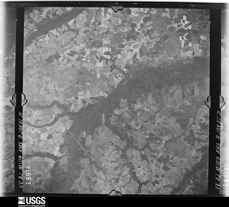
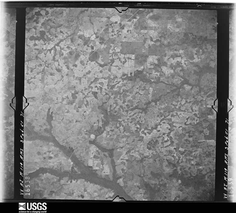
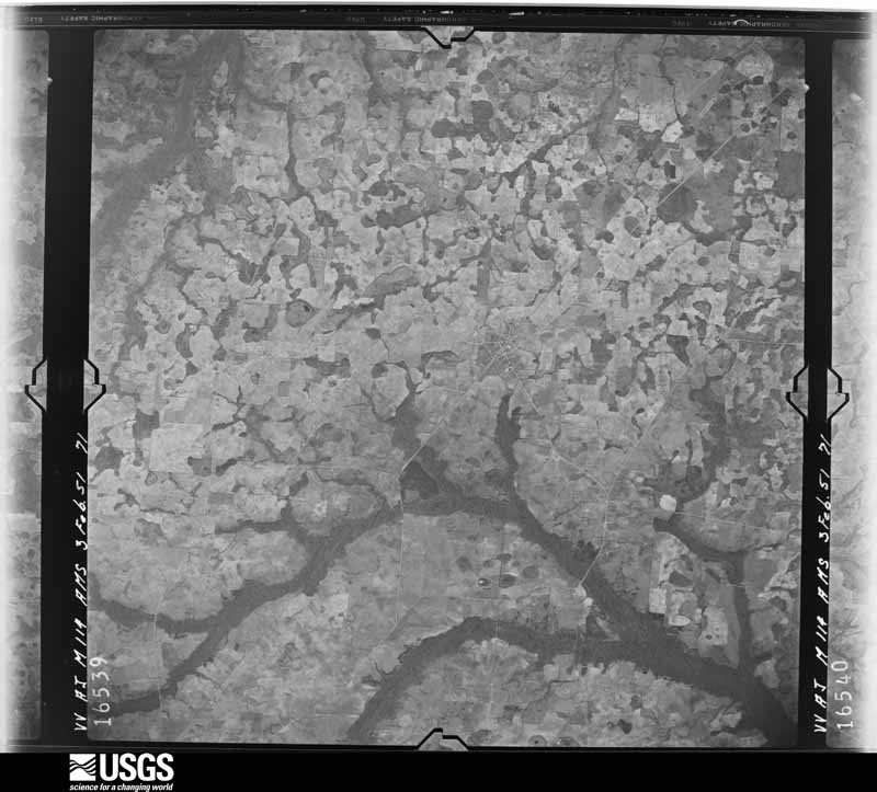
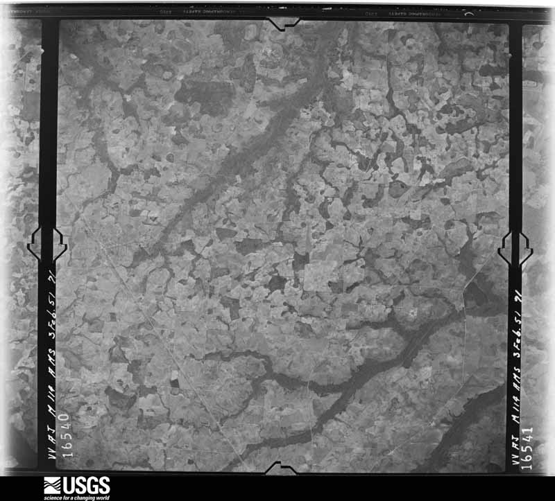
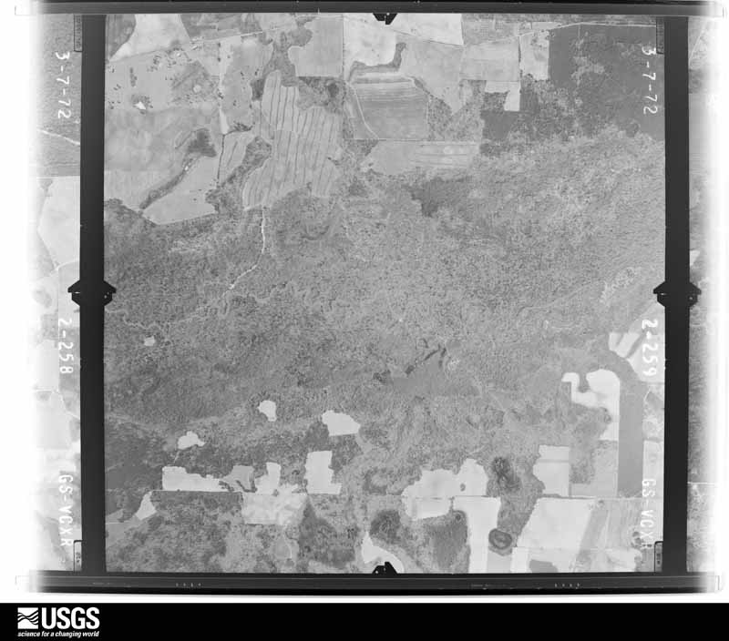
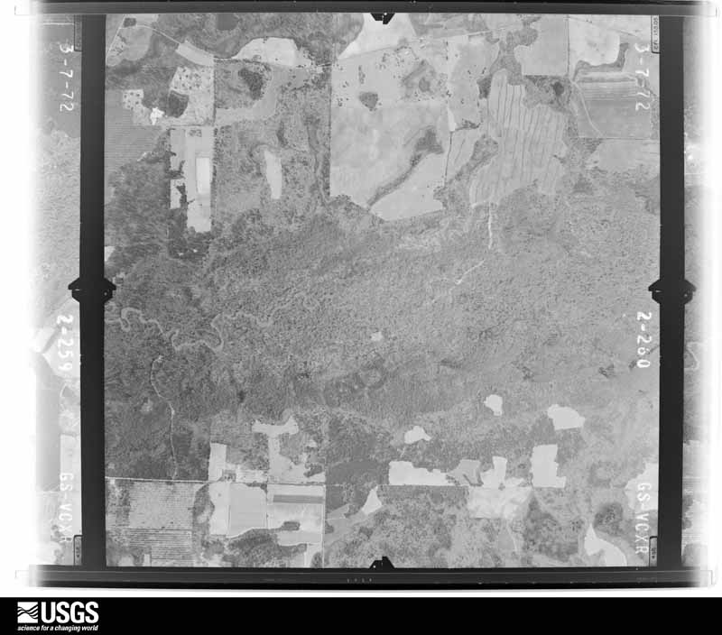
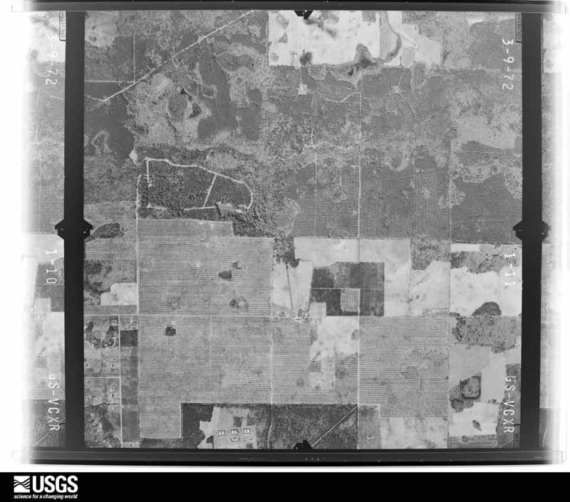
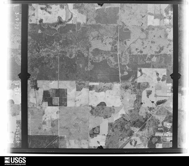
The thermometers that kept this county's weather, as the federal records hold them. The extremes below are measured values from those records, not estimates.
Who lived here in 1950, one enumeration district at a time, as the Census Bureau described each district. Each row opens its official National Archives result, with Population Schedules and ED Maps available there.
Every wildfire the federal occurrence database records inside this county: 429 of them, burning about 2,701 acres. 30 started naturally and 6 were recorded as arson. Each settlement page carries the fires within five miles of it.
| Reported cause | Fires |
|---|---|
| Debris and open burning | 269 |
| Equipment and vehicle use | 57 |
| Smoking | 33 |
| Natural | 30 |
| Missing data/not specified/undetermined | 16 |
| Misuse of fire by a minor | 9 |
| Recreation and ceremony | 7 |
| Arson/incendiarism | 6 |
| Railroad operations and maintenance | 2 |
The five largest, by the area the report gives. None of them was recorded as arson.
| Date | Cause | Size | Reported by | Name on the report |
|---|---|---|---|---|
| 22 May 2011 | Debris and open burning | 412 acres | Georgia Forestry Commission | FY2011-TERRELL-024 |
| 25 January 2018 | Debris and open burning | 90 acres | Georgia Forestry Commission | FY2018TERRELL004 |
| 26 September 2019 | Debris and open burning | 85 acres | Georgia Forestry Commission | FY2020TERRELL003 |
| 31 May 2011 | Debris and open burning | 75 acres | Georgia Forestry Commission | FY2011-TERRELL-029 |
| 6 July 1998 | Equipment and vehicle use | 67 acres | Georgia Forestry Commission | not named |
| 27 March 2014 | Recreation and ceremony | 49 acres | Georgia Forestry Commission | FY2014-TERRELL-002 |
| 14 June 1995 | Missing data/not specified/undetermined | 49 acres | Georgia Forestry Commission | not named |
| 25 August 1993 | Smoking | 46 acres | Georgia Forestry Commission | not named |
Every settlement page carries the fires within five miles of it - see the settlement index below.
The NOAA Storm Events Database holds 154 reports for this county, causing no deaths, 1 injury and about $1,990,000 in recorded property damage. Each settlement page carries the reports that name it.
| Kind of event | Reports |
|---|---|
| Thunderstorm Wind | 115 |
| Hail | 18 |
| Tornado | 10 |
| Flash Flood | 8 |
| Funnel Cloud | 2 |
| Flood | 1 |
The most serious of them, by death, then injury, then recorded damage. The accounts are quoted exactly as the forecast office filed them.
| When | Event | Place named | Harm | What the report says |
|---|---|---|---|---|
| May 1984 | Tornado (F1) | not stated | 1 hurt, $250,000 | no account filed |
| April 2009 | Tornado (EF1) | Chambliss | $300,000 | An EF1 tornado touched down just west of County Line Road. It raced eastward across the road and lifted just before crossing State Road 520. Along its brief path, several mobile homes and barns were destroyed, a few frame homes were damaged, and many trees and power lines were down. A woman escaped injury when her mobile home was blown off its foundation. |
| July 2005 | Flash Flood | Countywide | $300,000 | Torrential rains of three to five inches in less than three hours flooded many county roads. Reported by the Terrell County EMA. |
| May 1990 | Tornado (F1) | not stated | $250,000 | no account filed |
| December 1973 | Tornado (F1) | not stated | $250,000 | no account filed |
| December 2002 | Thunderstorm Wind | Southeast Portion | $100,000 | Straight-line winds inflicted minor roof damage to several homes. Numerous trees and power lines were toppled. Approximately 400 customers were without power, from the town of Sasser south to the county line. Reported by a SKYWARN spotter and GEMA. |
| June 1998 | Thunderstorm Wind | Countywide | $80,000 | Numerous reports of trees and power lines. An estimated 10 to 15 acres of corn were damaged, and four greenhouses and a mobile home were destroyed in Terrell County. |
| May 2017 | Thunderstorm Wind | Dawson | $50,000 | A tree was blown down on Highway 82 between Graves and Dawson. |
| August 2012 | Thunderstorm Wind | Dawson | $50,000 | Several trees were blown down on homes and cars through the city of Dawson. Many power lines were also down with widespread power outages. Monetary damage was estimated. |
| June 2001 | Thunderstorm Wind | Sasser | $50,000 | Several downed trees on vehicles and homes. Reported by local media. |
| October 1997 | Thunderstorm Wind | Bronwood | $50,000 | Severe thunderstorm winds downed power lines with several outages reported in Bronwood and Dawson. |
| January 1972 | Tornado (F1) | not stated | $25,000 | no account filed |
| April 1964 | Tornado (F0) | not stated | $25,000 | no account filed |
| December 1954 | Tornado (F2) | not stated | $25,000 | no account filed |
| March 2021 | Tornado (EF1) | Chickasawhatchee | $20,000 | An EF1 tornado touched down in Terrell County. Damage was initially reported along Kirbo Road where there was roof damage to one single family home. Numerous pines in the yard were snapped or uprooted at this residence. Further east on Kirbo Road, additional pine trees were snapped or uprooted. More trees were observed uprooted or snapped along Florida Short Route just to the northeast of Kirbo Road. No structures were damaged in this area. The tornado again snapped or uprooted several trees along Anthony Road. The tornado lifted before reaching US-82. NWS Tallahassee extends our appreciation to Terrell County Emergency Management for their assistance in this damage survey. Max winds were estimated around 90 mph. |
| June 2013 | Thunderstorm Wind | Bronwood | $20,000 | Several trees and power lines were blown down in Bronwood. The media also reported trees were down on houses. Monetary damage was estimated. |
| January 2002 | Thunderstorm Wind | Countywide | $15,000 | The EMA office in Dawson sustained roof damage. Numerous downed trees. Reported by the Terrell County EMA. |
| May 2021 | Thunderstorm Wind | Parrott | $10,000 | A tree was blown down onto a house. |
| February 2019 | Thunderstorm Wind | Dawson | $10,000 | A NWS storm survey team surveyed the damage to the roof of a daycare as well as tree damage that was fanned out the northeast with all trees lying in the same direction. After investigation of the roof, speaking to witnesses, and the overall pattern of the tree damage, it was determined that straight line winds estimated at 85 to 90 mph caused the damage. |
| August 2006 | Thunderstorm Wind | Countywide | $10,000 | The Dawson Fire and Rescue Department reported several downed trees and power lines throughout the county. |
| December 2000 | Thunderstorm Wind | Countywide | $10,000 | Numerous trees and power lines down. Reported by the Terrell County EMA. |
| January 1999 | Thunderstorm Wind | Dawson | $8,000 | A carport and two vehicles damaged at a residence on Crawford Street in Dawson. |
| August 2018 | Thunderstorm Wind | Dawson | $5,000 | A tree was blown down onto a house on Hamilton Street. |
| January 2017 | Thunderstorm Wind | Dawson | $5,000 | Roof damage was reported at Salters Veterinary Hospital via Twitter. |
| February 2008 | Thunderstorm Wind | Dawson | $5,000 | Numerous trees were blown down throughout the county. Several of the trees knocked down power lines. |
| July 1994 | Thunderstorm Wind | Herod | $5,000 | Thunderstorm winds knocked numerous tree limbs down county-wide. Numerous power outages occurred after tree limbs knocked down powerlines within the town of Herod. |
| July 2020 | Thunderstorm Wind | Dawson | $3,000 | Scattered trees and power lines were blown down. |
| January 2017 | Thunderstorm Wind | Bronwood | $3,000 | Fallen and leaning trees and limbs resulted in power outages near Bronwood. |
| January 2017 | Thunderstorm Wind | Chickasawhatchee | $3,000 | Fallen and leaning trees and limbs resulted in power outages southeast of Dawson. |
| July 2016 | Thunderstorm Wind | Graves | $3,000 | Power lines were blown down near Graves. |
| July 2015 | Thunderstorm Wind | Graves | $3,000 | Trees and power lines were blown down in Graves. |
| April 2015 | Thunderstorm Wind | Parrott | $3,000 | Multiple trees were blown down in Parrott. |
| April 2015 | Thunderstorm Wind | Parrott | $3,000 | A couple of power lines were blown down along Highway 520. |
| June 2013 | Thunderstorm Wind | Dawson | $3,000 | Trees were blown down in multiple locations throughout the county. |
| June 2013 | Thunderstorm Wind | Bronwood | $3,000 | Several trees were blown down on Highway 118 between Dawson and Bronwood. Media reports indicate that trees were blocking the roadway. |
| July 1995 | Thunderstorm Wind | Parrott | $3,000 | Thunderstorm winds knocked trees down in northern part of the county. The thunderstorm winds ripped off a tin roof, blew down trees of varying sizes and scattered limbs and debris. |
| June 2023 | Thunderstorm Wind | Yeomans | $2,000 | A tree was blown down and resulted in a power outage. |
| May 2021 | Thunderstorm Wind | Dawson | $2,000 | Numerous trees were blown down with power outages throughout the county. |
| April 2020 | Thunderstorm Wind | Sasser | $2,000 | Power lines were blown down in the Sasser area. |
| April 2020 | Thunderstorm Wind | Parrott | $2,000 | Power lines were blown down in the Parrot area. |
| March 2019 | Thunderstorm Wind | Dawson | $2,000 | A power line was blown down around Forrester Drive and Roundtree. |
| August 2017 | Thunderstorm Wind | Sasser | $2,000 | A few power outages occurred due to wind near Sasser. |
| July 2017 | Thunderstorm Wind | Herod | $2,000 | Trees were blown down onto power lines around Herod Road. |
| July 2016 | Thunderstorm Wind | Dawson | $2,000 | A viewer submitted a photo to WALB-TV of power lines down with tree debris on Pearson Drive. |
| June 2013 | Thunderstorm Wind | Dawson | $2,000 | A tree was blown down onto a power line near the intersection of Crawford Street and 11th Ave with power outages reported. |
| August 2002 | Thunderstorm Wind | Countywide | $2,000 | Several downed trees reported by the Terrell County Sheriff. |
| May 2024 | Thunderstorm Wind | Dawson | $1,000 | Large tree limbs were blown down with a power outage in the Dawson area. |
| August 2018 | Thunderstorm Wind | Dawson | $1,000 | A tree and power line were blown down near the intersection of Johnson Street and Newman Drive. |
| July 2017 | Thunderstorm Wind | Dawson | $1,000 | A tree was blown down onto a power line on Center Street. |
| April 2015 | Thunderstorm Wind | Bridges Crossroad | $1,000 | A power line was blown down along Sellers Road. |
| April 2015 | Thunderstorm Wind | Sasser | $1,000 | Strong winds blew down large tree limbs which damaged a metal fence on Gander Lane. Damage was estimated. |
| June 2014 | Thunderstorm Wind | Graves | $1,000 | Trees were blown down on Highway 50 and Melton Mill Road. |
| June 2014 | Thunderstorm Wind | Dawson | $1,000 | A large tree was blown down in Dawson. |
| June 2013 | Thunderstorm Wind | Bridges Crossroad | $1,000 | The media relayed a viewer report of a tree down on Highway 32 close to the Lee county line with a lot of debris and limbs in the road. |
| May 2006 | Thunderstorm Wind | Countywide | $1,000 | The Terrell County Sheriff reported some trees down throughout the county. |
| July 2000 | Thunderstorm Wind | Countywide | $1,000 | Numerous trees down. Reported by the Terrell County Sheriff. |
| December 2000 | Thunderstorm Wind | Southeast Portion | $1,000 | Several trees down. Reported by the Terrell County EMA. |
| June 2002 | Thunderstorm Wind | Southwest Portion | $500 | A few trees down between State Highways 45 and 55 southwest of Dawson. Reported by the Terrell County Sheriff. |
| June 1997 | Thunderstorm Wind | Pleasant Hill | $500 | A few trees were blown down around Pleasant Hill. |
| March 2026 | Thunderstorm Wind | Dawson | - | Numerous trees were blown down across the county. |
Named settlements recorded in the Geographic Names Information System, each with the topographic sheets covering it. Villages, hamlets and abandoned places alike. Each is shown with the nearest named watercourse or landform and the survey quadrangle it falls on. The 2 places that were also surveyed for fire insurance come first, with the number of atlases and photographs held for them.
Dawson census division · 39842 · Dawson quadrangle
7 sheets, 1953 to 1981
Fire insurance: 9 atlases
Sasser census division · 39842 · Sasser quadrangle
10 sheets, 1953 to 1981
Fire insurance: 3 atlases
Dawson census division · 39842 · Dawson quadrangle
7 sheets, 1953 to 1981
No longer a settlement
Parrott census division · 39842 · Dawson quadrangle
7 sheets, 1953 to 1981
No longer a settlement
Dawson census division · 39842 · On Herod Creek · Chickasawhatchee quadrangle
9 sheets, 1953 to 1981
Parrott census division · 39842 · On Reedy Creek · Bottsford quadrangle
7 sheets, 1953 to 1981
Dawson census division · 39842 · On Walk-Ikey Creek · Doverel quadrangle
7 sheets, 1953 to 1981
Bronwood census division · 39842 · On Chokeelagee Creek · Bronwood quadrangle
7 sheets, 1953 to 1981
Parrott census division · 39842 · Bottsford quadrangle
7 sheets, 1953 to 1981
No longer a settlement
The vanished settlements of Terrell County: the places named above that are no longer on the map.
7 topographic sheets and 9 fire insurance atlases, 1885 to 1943
10 topographic sheets and 3 fire insurance atlases, 1912 to 1924