 Block
From the record
2 National Register listings published here.
Sources: the National Register database, National Park Service
55 topographic sheets cover 20 settlements here, and 2 properties are on the National Register of Historic Places.
2 National Register listings published here.
Sources: the National Register database, National Park Service
Taken for the Office of War Information and the Farm Security Administration, who photographed the country between 1935 and 1944. Works of United States government photographers, with no known restriction on use. Each opens its catalogue record.





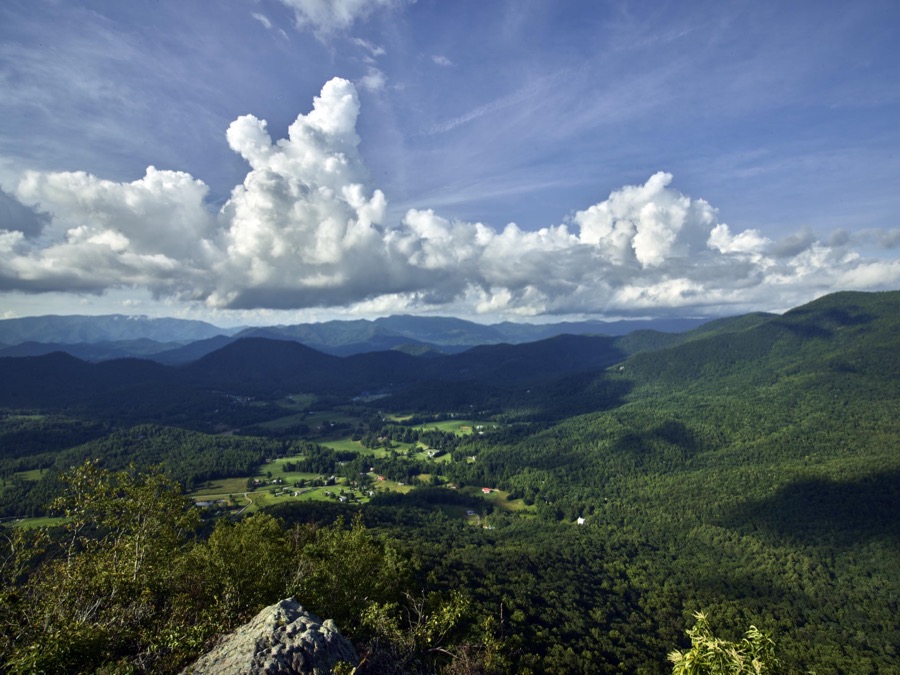




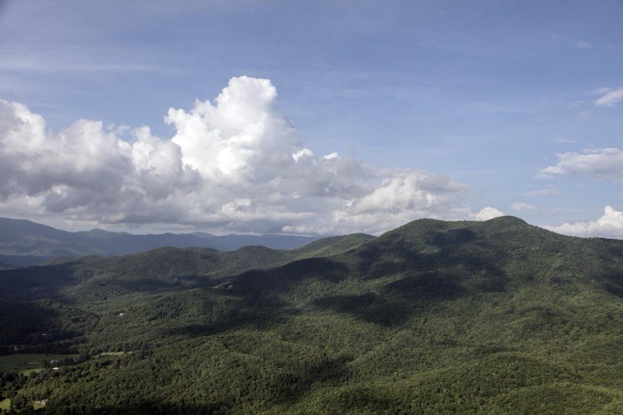

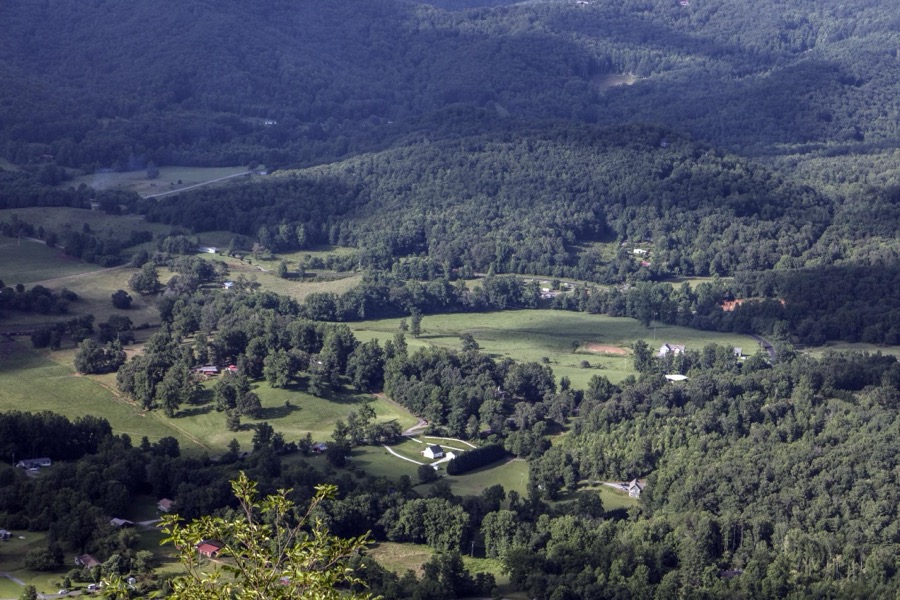



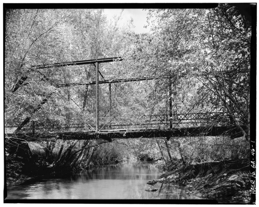
Every property in this county listed on the National Register of Historic Places, with the year it was listed and the federal nomination document.
| Photograph | Property | Type | Listed | Reference |
|---|---|---|---|---|
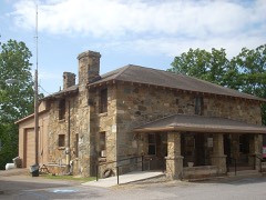 | Towns County Jail | building | 1985 | 85002087 |
 | Young Harris College Historic District | district | 1983 | 83000245 |
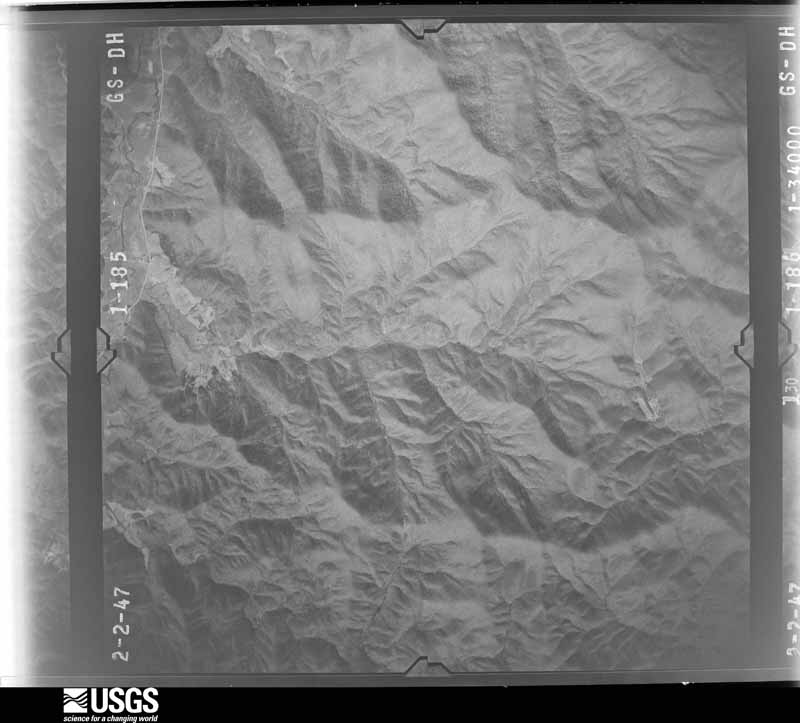
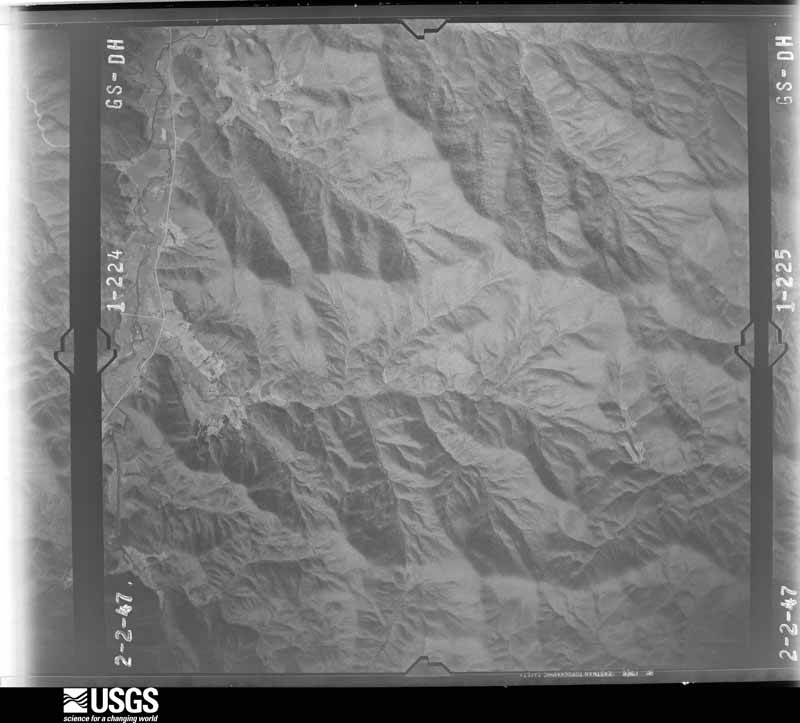
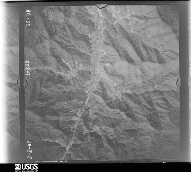
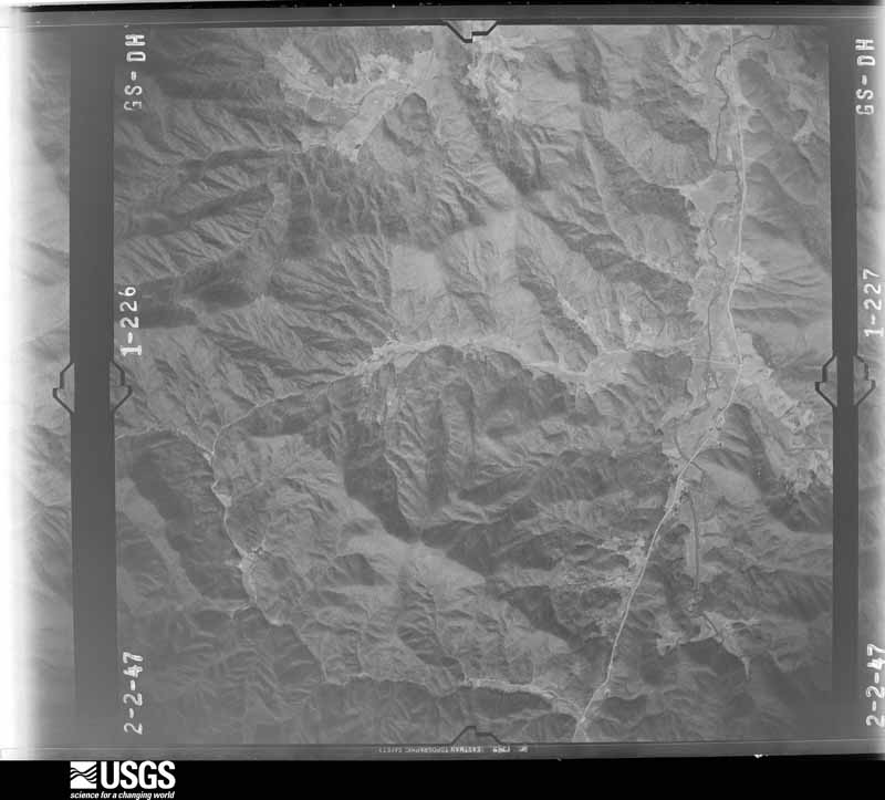
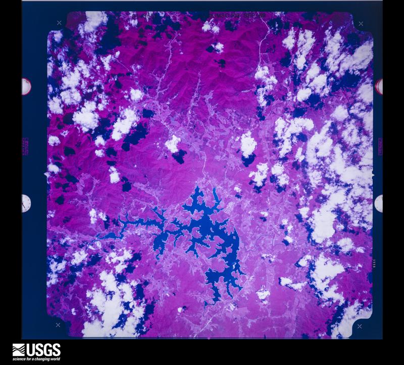
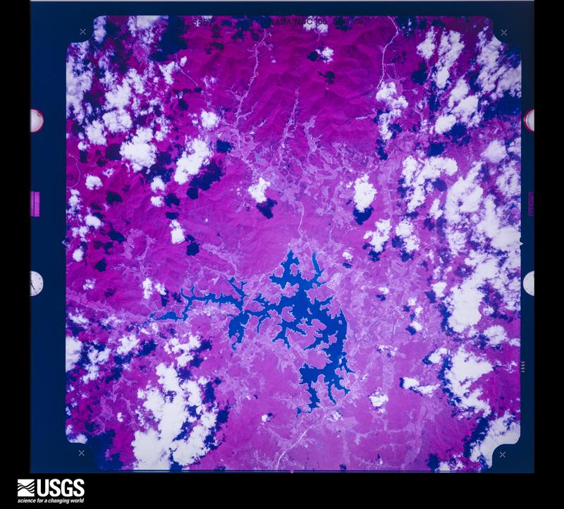
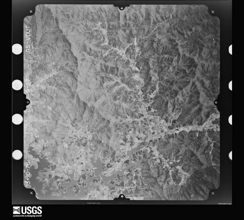
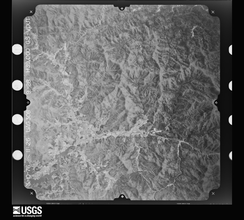
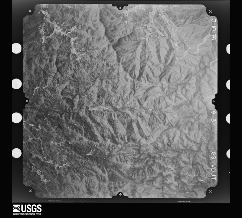
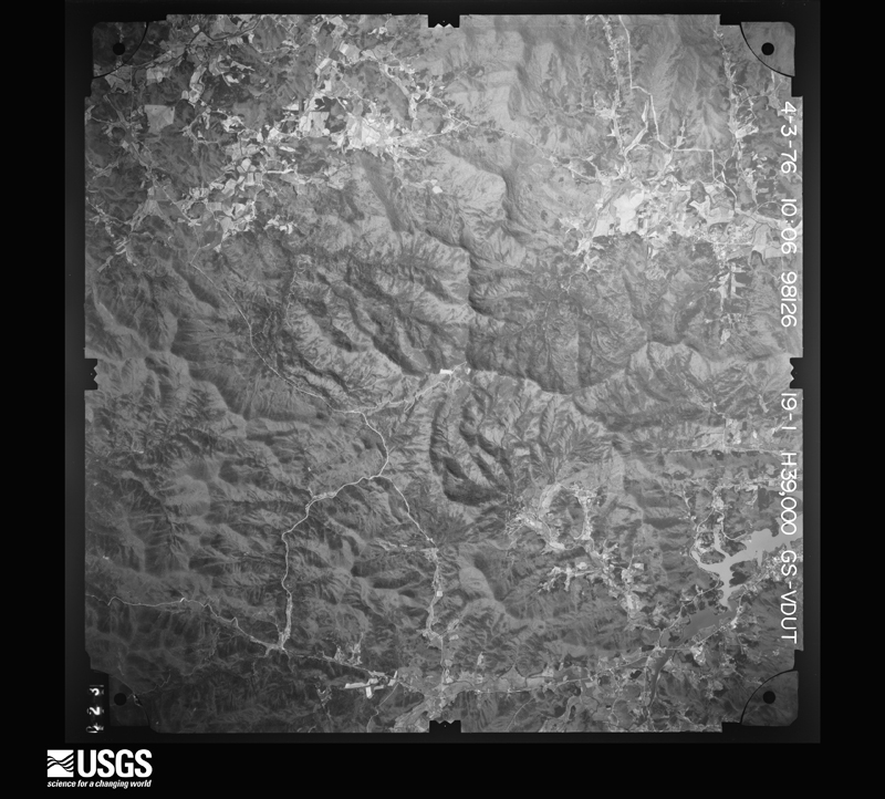
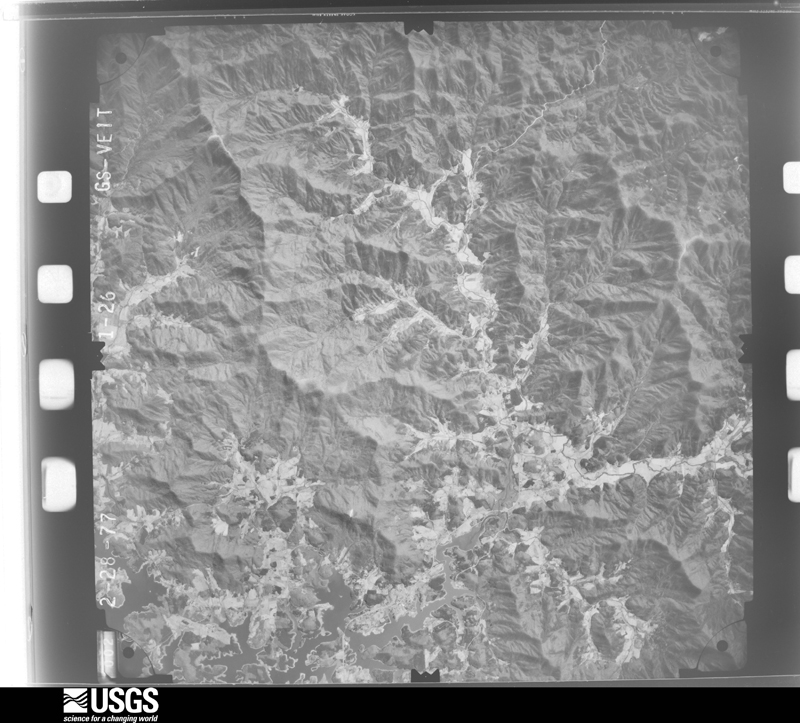
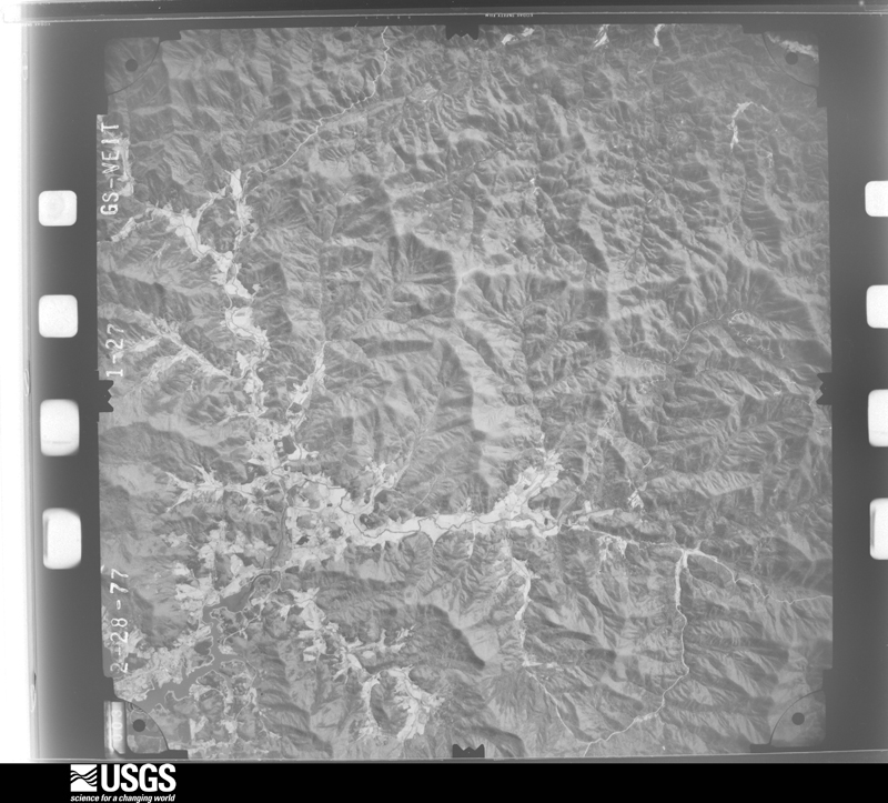
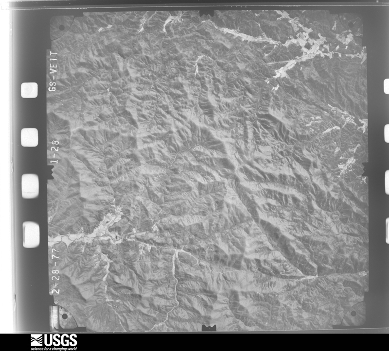
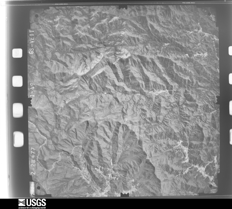
Flown by the U.S. Geological Survey between 1937 and 1989, the Aerial Photo Single Frames collection is the definitive mid-century view of the land: fields, roads and rivers as the camera saw them. The Survey holds 164 frames inside the rectangle that bounds this county; the 20 frames below were taken over the county itself, chosen across the decades of flights (at most four a year from that rectangle), so one flight cannot crowd out the rest. The full set is free to browse and download at EarthExplorer under the dataset Aerial Photo Single Frames.


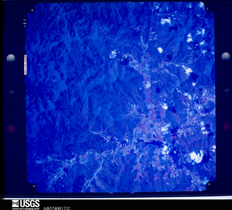
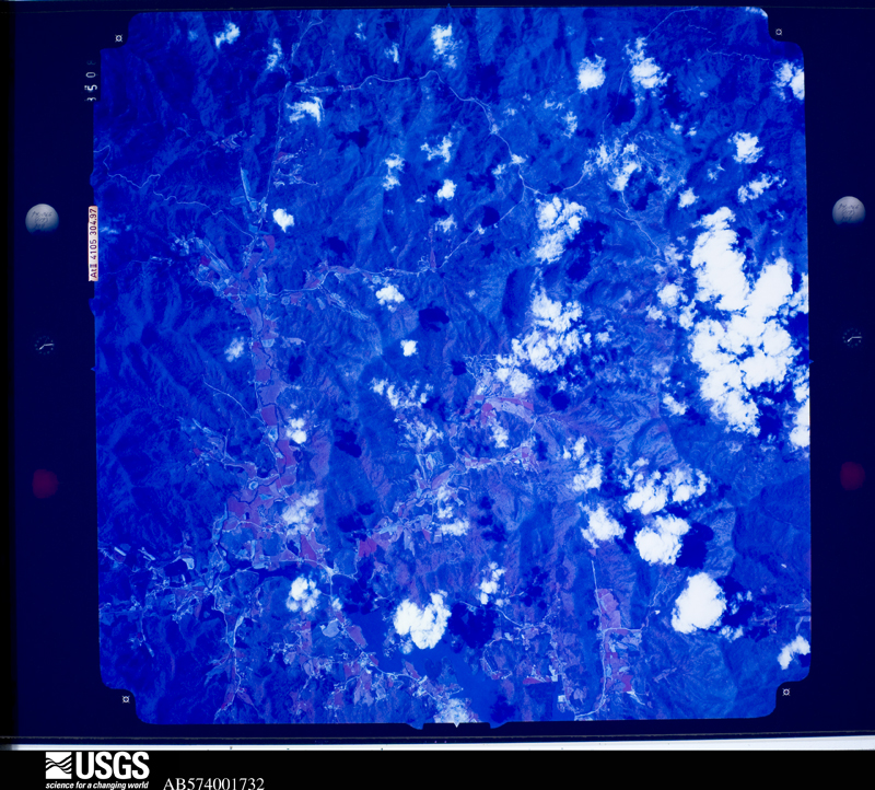
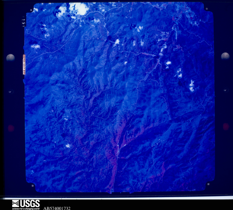
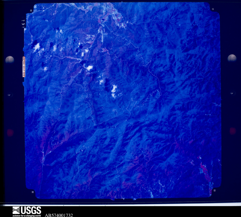
The thermometers that kept this county's weather, and the gages that measured the flow of its streams, as the federal records hold them. The extremes below are measured values from those records, not estimates.
Who lived here in 1950, one enumeration district at a time, as the Census Bureau described each district. Each row opens its official National Archives result, with Population Schedules and ED Maps available there.
Every wildfire the federal occurrence database records inside this county: 374 of them, burning about 2,594 acres. 5 started naturally and 40 were recorded as arson. Each settlement page carries the fires within five miles of it.
| Reported cause | Fires |
|---|---|
| Debris and open burning | 249 |
| Missing data/not specified/undetermined | 43 |
| Arson/incendiarism | 40 |
| Equipment and vehicle use | 11 |
| Smoking | 10 |
| Misuse of fire by a minor | 8 |
| Recreation and ceremony | 7 |
| Natural | 5 |
| Power generation/transmission/distribution | 1 |
The five largest, by the area the report gives. Three of them were set deliberately.
| Date | Cause | Size | Reported by | Name on the report |
|---|---|---|---|---|
| 7 November 2007 | Missing data/not specified/undetermined | 790 acres | Chattahoochee-Oconee National Forest | CEDAR KNOB |
| 12 November 2008 | Arson/incendiarism | 311 acres | Chattahoochee-Oconee National Forest | CHARLIES CREEK 1 |
| 24 March 2002 | Arson/incendiarism | 186 acres | Chattahoochee-Oconee National Forest | ROCKY MTN. |
| 24 March 2002 | Arson/incendiarism | 186 acres | Georgia Forestry Commission | FY2002-TOWNS-016 |
| 22 March 1997 | Debris and open burning | 134 acres | Chattahoochee-Oconee National Forest | MOODY HOLLOW |
| 31 January 1993 | Missing data/not specified/undetermined | 130 acres | Chattahoochee-Oconee National Forest | not named |
| 18 April 2008 | Debris and open burning | 115 acres | Chattahoochee-Oconee National Forest | ROLLING ACRES |
| 3 April 1995 | Debris and open burning | 57 acres | Georgia Forestry Commission | not named |
Every settlement page carries the fires within five miles of it - see the settlement index below.
The NOAA Storm Events Database holds 57 reports for this county, causing no deaths, no injuries and about $1,237,250 in recorded property damage. Each settlement page carries the reports that name it.
| Kind of event | Reports |
|---|---|
| Thunderstorm Wind | 27 |
| Hail | 21 |
| Flash Flood | 7 |
| Tornado | 1 |
| Heavy Snow | 1 |
The most serious of them, by death, then injury, then recorded damage. The accounts are quoted exactly as the forecast office filed them.
| When | Event | Place named | Harm | What the report says |
|---|---|---|---|---|
| September 2004 | Flash Flood | Countywide | $500,000 | The Georgia Emergency Management Agency, along with local newspaper, reported major and extensive flooding throughout the county. The Hiawassee River flooded the Enchanted Valley Resort. Many residents in the area had water up to the doors of their homes. At least ten roads and ten bridges in the county were washed out by flood waters. |
| May 2011 | Hail | Macedonia | $290,000 | Several reports of hail, ranging in size from quarters to golf balls, were received from the Towns County 911 Center and the public across the northern half of the county from near Brasstown Bald to Macedonia. WSR-88D radar data suggests that hail of at least quarter-size likely continued to the northeast corner of the county near Tate City. |
| May 2006 | Hail | Alexanders Mill | $160,000 | The public reported quarter to golf-ball sized hail. This was the third hail storm to affect the county during the same evening. |
| March 1997 | Tornado (F1) | Hiawassee | $75,000 | no account filed |
| July 2013 | Flash Flood | Gumlog | $40,000 | The emergency manager reported four roads west and northwest of Young Harris were closed due to flooding. Crooked Creek washed out a culvert pipe at Settlement Road and Byers Creek washed out a culvert pipe at Crisp Road. Winchester Creek flooded portions of Winchester Creek Road and Crane Creek flooded portions of Kerby Road which made them completely impassable. |
| March 2013 | Thunderstorm Wind | Sunnyside | $30,000 | The Towns County 911 Center reported that a tree had blown down on a home south of Hiawassee. |
| April 2011 | Thunderstorm Wind | Macedonia | $25,000 | The Towns County Emergency Management Director reported that a tree was down on a home near Mountain Scene resulting in damage to the structure. |
| May 1999 | Thunderstorm Wind | Hiawassee | $20,000 | The Towns county EMA director reported 3 structures, 2 of which were houses, were damaged when thunderstorm winds knocked trees down on them. Trees and power lines were knocked down along a 6 mile wide path. |
| July 2011 | Thunderstorm Wind | Alexanders Mill | $15,000 | The Towns County 911 Center reported that between three and four dozen trees were down across the county, especially the northern portions. |
| June 2018 | Thunderstorm Wind | Hiawassee | $10,000 | Reports were received from the broadcast media and over social media of a small dock on Lake Chatuge in Hiawassee being lifted and flipped over by strong thunderstorm winds. |
| April 2011 | Thunderstorm Wind | Gumlog | $10,000 | The Towns County 911 Center reported that many trees and several power lines were down across the county. |
| July 2015 | Thunderstorm Wind | Titus | $8,000 | A trained storm spotter reported multiple trees down near Tate City. |
| July 2015 | Thunderstorm Wind | Hiawassee | $6,000 | The Towns County 911 Center reported a few trees down across the county. |
| February 2011 | Thunderstorm Wind | Gumlog | $5,000 | The Towns County 911 Center reported that nine trees were down across the county. Several traffic signals were also out of service as a result of strong thunderstorm wind gusts. |
| July 2009 | Flash Flood | Macedonia | $5,000 | The Towns County Emergency Management Director reported that from four to six inches of rain fell in southern Towns county causing flash flooding just south of the community of Mountain Scene, or about eight miles south to southeast of Hiawassee. The heavy rain forced High Shoals Creek, Soapstone Creek, and Corbin Creek, all headwaters of the Hiawassee River, to all exceed their banks and flood nearby areas. A few private dirt roads were washed out by the flooded creeks. No significant structural or property damage was reported. |
| May 2004 | Thunderstorm Wind | Hiawassee | $5,000 | The Towns County 911 center reported that several trees and some power lines were down in the Upper Bell Road area on the east side of Chatuge Lake. |
| May 2003 | Flash Flood | Countywide | $5,000 | The Towns county 911 center reported that a number of roads around the county were flooded with water flowing over them. |
| May 1998 | Hail | Young Harris | $5,000 | The public reported golf ball to baseball size hail in Young Harris. Up to one and a half inch diameter hail was reported in Hiawassee. |
| July 2000 | Thunderstorm Wind | Hiawassee | $3,000 | The Towns county 911 center reported three trees down, one on Georgia 75 and two on Fodder Creek Road just northwest of Macedonia. |
| July 1997 | Thunderstorm Wind | Hiawassee | $3,000 | Several trees and power lines were knocked down countywide. |
| May 2018 | Flash Flood | Macedonia | $2,500 | Emergency Management reported several roads experienced flooding in Towns County. The Enchanted Valley Resort RV park and River Bend Campground were evacuated due to high water from the Hiwassee River. Two cows and a cat were killed as a result of the flash flooding near the River Bend Campground. Additionally, a small mudslide occurred at Unicoi Gap. |
| June 2013 | Thunderstorm Wind | Hiawassee | $2,500 | The Towns County 911 Center reported that numerous trees were down particularly in the Hiawassee area. |
| January 2013 | Thunderstorm Wind | Sunnyside | $2,500 | Ameteur radio operators relayed reports of trees down across most of Towns County, especially in the east side of the county. |
| June 2018 | Thunderstorm Wind | Brasstown Bald | $2,000 | The Towns County 911 center reported trees blown down along Highway 66 northwest of Young Harris. |
| May 2002 | Thunderstorm Wind | Hiawassee | $2,000 | The Town county 911 center reported that several trees were down. |
| July 2002 | Thunderstorm Wind | Hiawassee | $2,000 | The Towns county 911 center reported that several trees and power lines were down. |
| June 2014 | Thunderstorm Wind | Macedonia | $1,500 | The Towns County 911 Center reported six trees down. Four of these fell along Highway 75 South. |
| July 2012 | Thunderstorm Wind | Macedonia | $1,000 | The Towns County 911 Center reported that a few trees were blown down in the Macedonia area. |
| August 2008 | Flash Flood | Macedonia | $1,000 | The Towns County Emergency Management Director reported that flash flooding was observed along the Hiawassee River just west of Georgia Highway 75 south of Hiawassee in the Enchanted Valley Resort trailer park. The river reached a stage of 10.0 feet approximately one mile downstream from the USGS stream gage on Riverside Drive. The primary impact of the flooding was the wash up of debris into the backyards of several trailer homes. Minor flood damage occurred to the lower portions of some storage sheds. |
| June 2005 | Flash Flood | Hiawassee | $250 | The Towns County 911 Center reported that the Hiawassee river flooded as a result of excessive rainfall caused by repeated showers and thunderstorms associated with a spiral band that was a part of Tropical Storm Arlene moving north across Alabama and middle Tennessee. The river flooded a barn and the Enchanted Valley Resort along Georgia Highway 75 south of Hiawassee, although none of the water actually rose into the mobile homes in the area. As a precaution, a number of residents were evacuated from the resort and various fishing cabins along the river both north and south of the resort. |
| July 2023 | Thunderstorm Wind | Hunt | - | Reports of widespread damage at the Georgia Mountain Fair Campground on Lake Chatuge in Hiawassee. Dozens of trees were blown down, including several on vehicles and camper vans/trailers. |
| July 2022 | Thunderstorm Wind | Hiawassee | - | Report of a tree down at Konahetah Dr and Konahetah Rd. |
| June 2015 | Hail | Macedonia | - | The public reported that penny sized hail accumulated at least one inch deep around Owl Creek Road and Highway 75. |
| June 2015 | Hail | Sunnyside | - | Employees at the Long Ridge Camp Ground reported quarter sized hail. |
| June 2015 | Hail | Macedonia | - | An amateur radio operator reported quarter sized hail on Mauldin Circle. |
| April 2012 | Hail | Hiawassee | - | The public reported quarter sized hail in Hiawassee. |
| April 2012 | Hail | Hiawassee | - | The public reported quarter sized hail in Hiawassee. |
| April 2011 | Hail | Young Harris | - | The public observed quarter-sized hail in Young Harris. WSR-88D radar data suggests that penny to quarter-size hail likely continued eastward across the county toward Titus. |
| April 2008 | Hail | Hiawassee | - | The Towns County 911 Center reported that quarter-sized hail fell east of Hiawassee. Radar data supports that this or slightly smaller hail continued to the extreme northeast corner of the county to near Tate City. |
| May 2006 | Hail | Titus | - | The Towns County 911 Center reported half-dollar-sized hail in the Scataway and Hightower Road area of northeast Towns county, near Titus. The hail was reported to have covered the ground. |
| May 2006 | Hail | Titus | - | The Towns County 911 Center reported that yet another hail storm was observed in the Scataway Road area west of Titus. Once again half-dollar-sized hail covered the ground. |
| May 2006 | Hail | Young Harris | - | Several reports of hail ranging in size from pennies to quarters were received from the public in the Young Harris and Hiawassee areas. Hail was reported to have covered the ground at one location in Young Harris. |
| May 2006 | Hail | Young Harris | - | The public reported penny-sized hail. |
| May 2006 | Hail | Alexanders Mill | - | Numerous reports of hail, ranging in size from pennies to quarters, were received from the public. The public reported that penny-sized hail covered the ground in the Alexanders Mill area along Georgia Highway 66 northwest of Young Harris. Penny-sized hail was reported in Young Harris, while quarter-sized hail was reported in Hiawassee. This was the second significant hail storm to affect Towns county within a one-hour period. |
| February 2005 | Hail | Hiawassee | - | The Towns County 911 Center reported penny-sized hail. |
| July 2002 | Hail | Hiawassee | - | The Towns county 911 center reported nickel size hail. |
| April 2001 | Heavy Snow | Hiawassee | - | A retired Weather Service Specialist reported a light snow shower. This is unusually late in the spring for such an occurrence. |
| May 1999 | Hail | Hiawassee | - | The Towns county EMA director reported dime size hail. |
| May 1998 | Hail | Hiawassee | - | The public reported quarter size hail and a funnel cloud. |
| May 1996 | Hail | Hiawassee | - | no account filed |
| November 1992 | Thunderstorm Wind | not stated | - | no account filed |
| February 1991 | Thunderstorm Wind | not stated | - | no account filed |
| February 1991 | Thunderstorm Wind | not stated | - | no account filed |
| May 1990 | Thunderstorm Wind | not stated | - | no account filed |
| April 1990 | Hail | not stated | - | no account filed |
| June 1989 | Thunderstorm Wind | not stated | - | no account filed |
| April 1985 | Thunderstorm Wind | not stated | - | no account filed |
The Survey's mineral resources record lists 30 workings inside this county. 1 still produces and 29 are closed or unrecorded. Each settlement page carries the workings within five miles of it.
| Commodity | Workings |
|---|---|
| Gold | 25 |
| Copper, Iron-Pyrite | 1 |
| Corundum | 1 |
| Manganese | 1 |
| Stone, Crushed/Broken | 1 |
| Silica | 1 |
The least common of them first, because a county's hundredth gravel pit says nothing its first ten did not.
| Where | Site | Commodity | Status | Recorded |
|---|---|---|---|---|
| Bell Mtn Silica Mine | Silica | Past Producer | ||
| Berrong Prospect (Johnson Copper Prospect) | Copper, Iron-Pyrite | Occurrence | Massive Sulfide | |
| Cynth Creek Quarry | Stone, Crushed/Broken | Producer | ||
| Hog Creek Corundum Mine | Corundum | Past Producer | ||
| Mcconell Estate | Manganese | Past Producer | 1919 | |
| Brown | Gold | Prospect | Vein | |
| Chastain (Branch) Mine | Gold | Prospect | Placer | |
| Chastian Placer Mine | Gold | Past Producer | ||
| E.R. Brown Mine | Gold | Prospect | Vein | |
| Eller Mine | Gold | Prospect | Placer | |
| Hooper & Berong Prospect | Gold | Past Producer | Placer | |
| Horse Vein | Gold | Occurrence | ||
| Horse Vein | Gold | Prospect | Vein | |
| Hunt Mine | Gold | Prospect | Vein | |
| Kerby Prospect | Gold | Prospect | Vein | |
| M. Kinsey Mine | Gold | Past Producer | Vein | |
| Malden Prospect | Gold | Past Producer | Vein | |
| Murdock Vein Mine | Gold | Past Producer | Vein | |
| N. Brown (Brown Shaft ?) | Gold | Prospect | Vein | |
| Newton Mine | Gold | Past Producer | Placer | |
| Newton Placer Mine | Gold | Past Producer | ||
| Old Field Mine | Gold | Prospect | Vein | |
| Pittsburg | Gold | Prospect | Vein | |
| Skeet Hooper | Gold | Prospect | Placer | |
| Smith Mine | Gold | Prospect | Placer | |
| Struby | Gold | Prospect | Vein | |
| Wellborn Hill | Gold | Prospect | Vein | |
| Wellborn Hill Mine | Gold | Past Producer | ||
| Welsh Post Office | Gold | Prospect | Vein | |
| Wills Creek Mine | Gold | Past Producer | Placer |
Named settlements recorded in the Geographic Names Information System, each with the topographic sheets covering it. Villages, hamlets and abandoned places alike. Each is shown with the nearest named watercourse or landform and the survey quadrangle it falls on.
Young Harris census division · 30582 · On Crooked Creek · Blairsville quadrangle
23 sheets, 1886 to 1988
Hiawassee census division · 30546 · On Allen Mill Creek · Macedonia quadrangle
22 sheets, 1886 to 1988
Young Harris census division · 30582 · On Bare Branch · Hiawassee quadrangle
24 sheets, 1886 to 1988
No longer a settlement
Macedonia census division · 30546 · On Long Bullet Creek (historical) · Hiawassee quadrangle
24 sheets, 1886 to 1988
Macedonia census division · 30546 · On Burch Branch · Hiawassee quadrangle
24 sheets, 1886 to 1988
Young Harris census division · 30582 · Near Hyatt Cove · Blairsville quadrangle
23 sheets, 1886 to 1988
Hiawassee census division · 30546 · Near Mossy Cove · Hiawassee quadrangle
24 sheets, 1886 to 1988
Hiawassee census division · 30546 · Near Raccoon Hollow · Hiawassee quadrangle
24 sheets, 1886 to 1988
No longer a settlement
Young Harris census division · 30582 · Near Dean Cove · Hiawassee quadrangle
24 sheets, 1886 to 1988
Macedonia census division · 30546 · On Bearmeat Creek · Macedonia quadrangle
22 sheets, 1886 to 1988
Macedonia census division · 30546 · On Spaniard Branch · Tray Mountain quadrangle
23 sheets, 1886 to 1981
Hiawassee census division · 30546 · Near Ab Cove · Macedonia quadrangle
22 sheets, 1886 to 1988
Macedonia census division · 30546 · On Cynth Creek · Macedonia quadrangle
22 sheets, 1886 to 1988
Young Harris census division · 30582 · On Bare Branch · Hiawassee quadrangle
24 sheets, 1886 to 1988
Hiawassee census division · 30546 · On Sutton Branch · Hiawassee quadrangle
24 sheets, 1886 to 1988
Hiawassee census division · 30525 · On Denton Creek · Hightower Bald quadrangle
23 sheets, 1886 to 1988
Hiawassee census division · 30546 · On Hall Creek · Macedonia quadrangle
22 sheets, 1886 to 1988
Hiawassee census division · 30546 · On Scataway Creek · Macedonia quadrangle
22 sheets, 1886 to 1988
No longer a settlement
Young Harris census division · 30582 · On Crooked Creek · Blairsville quadrangle
23 sheets, 1886 to 1988
Young Harris census division · 30582 · Near Sharp Hill · Hiawassee quadrangle
24 sheets, 1886 to 1988
The vanished settlements of Towns County: the places named above that are no longer on the map.
The complete index, with nothing left out. Each of these is a separate record with its own page: a federal survey report, or the case file that argued a property on to the National Register. Both are public domain and reproduced word for word.
The vanished settlements of Towns County, the places these records name that are no longer on the map.