 Block
From the record
1 National Register listing published here.
Sources: the National Register database, National Park Service
15 topographic sheets cover 9 settlements here, and 1 property is on the National Register of Historic Places.
1 National Register listing published here.
Sources: the National Register database, National Park Service
Every property in this county listed on the National Register of Historic Places, with the year it was listed and the federal nomination document.
| Photograph | Property | Type | Listed | Reference |
|---|---|---|---|---|
 | Treutlen County Courthouse | building | 1980 | 80001246 |
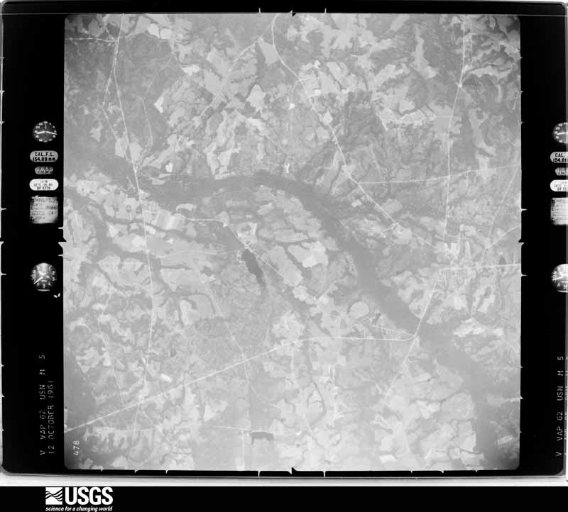
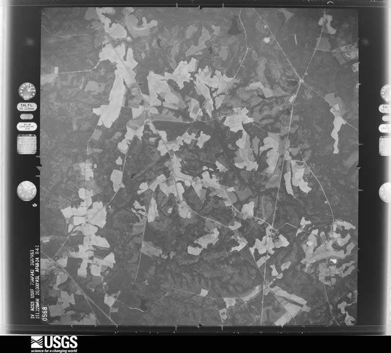
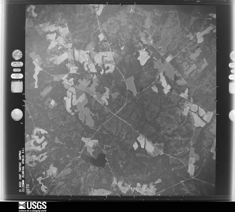
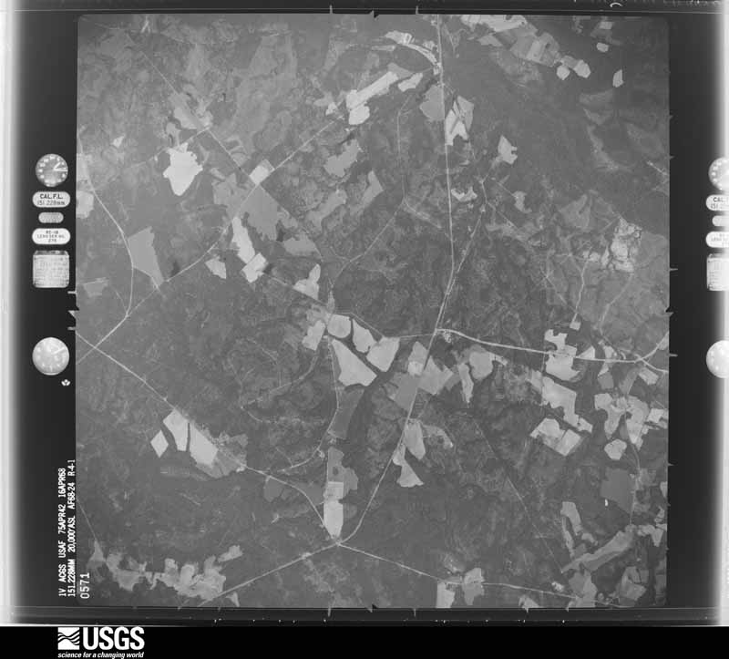
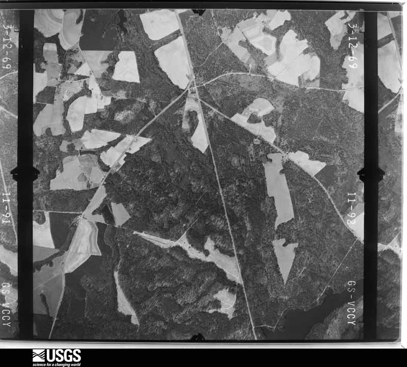
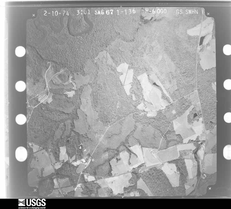
Flown by the U.S. Geological Survey between 1937 and 1989, the Aerial Photo Single Frames collection is the definitive mid-century view of the land: fields, roads and rivers as the camera saw them. The Survey holds 460 frames inside the rectangle that bounds this county; the 27 frames below were taken over the county itself, chosen across the decades of flights (at most four a year from that rectangle), so one flight cannot crowd out the rest. The full set is free to browse and download at EarthExplorer under the dataset Aerial Photo Single Frames.





















Who lived here in 1950, one enumeration district at a time, as the Census Bureau described each district. Each row opens its official National Archives result, with Population Schedules and ED Maps available there.
Every wildfire the federal occurrence database records inside this county: 1,778 of them, burning about 3,582 acres. 87 started naturally and 136 were recorded as arson. Each settlement page carries the fires within five miles of it.
| Reported cause | Fires |
|---|---|
| Debris and open burning | 1050 |
| Equipment and vehicle use | 218 |
| Arson/incendiarism | 136 |
| Smoking | 101 |
| Natural | 87 |
| Missing data/not specified/undetermined | 77 |
| Misuse of fire by a minor | 59 |
| Recreation and ceremony | 38 |
| Railroad operations and maintenance | 12 |
The five largest, by the area the report gives. One of them was set deliberately.
| Date | Cause | Size | Reported by | Name on the report |
|---|---|---|---|---|
| 30 April 2012 | Missing data/not specified/undetermined | 104 acres | Georgia Forestry Commission | FY2012-TREUTLEN-099 |
| 19 March 2011 | Debris and open burning | 84 acres | Georgia Forestry Commission | FY2011-TREUTLEN-091 |
| 8 February 2005 | Railroad operations and maintenance | 69 acres | Georgia Forestry Commission | not named |
| 17 March 2015 | Debris and open burning | 64 acres | Georgia Forestry Commission | FY2015-TREUTLEN-037 |
| 11 December 2020 | Recreation and ceremony | 55 acres | Georgia Forestry Commission | FY2021TREUTLEN009 |
| 16 March 1999 | Debris and open burning | 49 acres | Georgia Forestry Commission | not named |
| 10 April 2011 | Arson/incendiarism | 48 acres | Georgia Forestry Commission | FY2011-TREUTLEN-095 |
| 23 August 2011 | Natural | 47 acres | Georgia Forestry Commission | FY2012-TREUTLEN-017 |
Every settlement page carries the fires within five miles of it - see the settlement index below.
The NOAA Storm Events Database holds 93 reports for this county, causing no deaths, 5 injuries and about $1,323,300 in recorded property damage. Each settlement page carries the reports that name it.
| Kind of event | Reports |
|---|---|
| Thunderstorm Wind | 58 |
| Hail | 21 |
| Tornado | 9 |
| Lightning | 2 |
| Flood | 2 |
| Heavy Rain | 1 |
The most serious of them, by death, then injury, then recorded damage. The accounts are quoted exactly as the forecast office filed them.
| When | Event | Place named | Harm | What the report says |
|---|---|---|---|---|
| April 1991 | Tornado (F1) | not stated | 5 hurt, $250,000 | no account filed |
| April 2007 | Tornado (EF1) | Orland | $250,000 | A ground and aerial damage survey conducted by the National Weather Service in Peachtree City, Georgia, confirmed that an EF1 tornado touched down in western Treutlen county, near the Laurens county line, about 2 miles southeast of Rockledge or 1 mile south-southeast of Orland, just south of Interstate-16. The tornado traveled on a north-northeastward path across the town of Orianna, along the Laurens county line, continued north-northeast into the far western part of Emanuel county, and eventually into southern Johnson county across the town of Adrian, ending three miles north-northeast of Adrian, one again in extreme western Emanuel county. The overall tornado path length was approximately 10 miles, seven of which were in Treutlen county. The maximum path width was one-quarter mile wide. Maximum winds speeds were estimated at 100 mph. Much of the damage caused by the tornado in Truetlen county occurred in the community of Orianna where two homes were heavily damaged and two outbuildings were destroyed. Another home northeast of Orianna sustained minor damage. A grain silo was blown one-quarter mile away from its original location. Hundreds of trees were blown down along and just north of Interstate-16 near the initial touchdown point of the tornado. |
| May 2008 | Tornado (EF3) | Soperton | $200,000 | A damage survey conducted by the National Weather Service Forecast Office in Peachtree City, Georgia confirmed that an EF3 tornado, the strongest tornado of the 15 separate tornadoes to affect north and central Georgia this Mother's Day, touched down approximately three miles south-southeast of Soperton, then tracked east-southeast across southern Treutlen county and into extreme northeastern Montgomery county. The second floor of a two-story home was completely removed by the tornado. Numerous sheds and outbuildings were destroyed along the path of the tornado. Trees and power lines were also down along the path of the tornado. |
| March 2011 | Thunderstorm Wind | Lothair | $150,000 | The Treutlen County 911 Center and the public reported considerable wind damage in the Lothair community in the southwest part of the county. Most of the damage was along Rosemont Church Road. Here, two barns were destroyed, one of which was a 3-sided barn with a metal roof. The other, a large barn, completely lost its metal roof. Three homes had sustained moderate roof damage, and a mobile home sustained serious damage. On Georgia Highway 46, one home sustained major roof damage and broken windows from large hail. Many large trees were either blown down, splintered, or uprooted from Lothair to Soperton. Some roadways were blocked from downed trees. |
| December 2007 | Tornado (EF2) | Lothair | $100,000 | A storm survey conducted by the National Weather Service in Peachtree City, Georgia confirmed that a tornado, an EF2 at maximum intensity, tracked across southwest Treutlen county, west of Soperton. The tornado touched down as an EF1 in a heavily forested area approximately one mile southwest of Lothair. Significant tree damage was noted within the forested area as a result of the tornado. The tornado then strengthened to an EF2 as it moved northeast and reached the town of Lothair where a fire department building on Georgia Highway 199 was destroyed. The tornado then weakened back to an EF1 as it continued moving northeastward. A mobile home, about 1.5 miles northeast of Lothair, was completely destroyed by the tornado and another home was moved off its foundation. The tornado then weakened to an EF0 another mile to the northeast and lifted, but not before ripping a carport off a home and throwing it approximately 50 yards across the street. |
| June 1999 | Tornado (F0) | Soperton | $75,000 | Treutlen county 911 and newspaper reports indicated that a tornado was responsible for damage in Soperton. Several buildings suffered roof damage. An 18 wheeler tractor-trailer was overturned, and a 2 ton antique jail wagon was pushed off a concrete display slab. Trees were also uprooted. A deputy sheriff reported seeing the funnel as it touched down on Third Street. |
| June 2011 | Hail | Orianna | $53,000 | The public observed golf ball-sized hail just northwest of Soperton. WSR-88D radar data strongly suggests that hail of similar size likely continued across the county from northwest to southeast. |
| September 2004 | Heavy Rain | Soperton | $50,000 | The Soperton News reported that heavy rain, associated with Tropical Storm Frances, caused significant leaks in the roof and flooded five rooms of the county high school. |
| February 1976 | Tornado (F0) | not stated | $25,000 | no account filed |
| April 2017 | Tornado (EF0) | Orland | $20,000 | A National Weather Service survey team found that a tornado in eastern Laurens County crossed Mercer Creek into Treutlen County just east of Thairdell Road with maximum wind speeds of 80 MPH and a maximum path width of 100 yards. The tornado moved northeast damaging a few trees along Knox Mill Road and Red Bluff Church Road before ending near Highway 29 and Briarcliff road. No injuries were reported. [04/05/7: Tornado #7, County #2/2, EF-0, Laurens, Treutlen, 2017:066]. |
| June 2015 | Thunderstorm Wind | Gillis Springs | $15,000 | The Treutlen County 911 Center reported that numerous trees were blown down around the intersection of I-16 and U.S. Highway 221 near exit 78 in Gillis Springs. The NWS office in Charleston, South Carolina relayed a similar report they received from the public. |
| June 2004 | Thunderstorm Wind | Orland | $15,000 | The Treutlen County Commissioner, along with the Truetlen County Fire Chief, reported that a number of large trees were blown down in the northwest and west part of the county. Several power lines were also down as well. At least 10-15 trees were blown down, at least one of which was completely uprooted. Some roads were blocked, including Georgia Highway 29 between Orland and Interstate 16. One tree caused minor damage to a home. |
| July 2023 | Thunderstorm Wind | Gillis Springs | $10,000 | Public report of multiple trees down along Interstate 16 between mile markers 80 and 76. |
| April 2017 | Thunderstorm Wind | Five Points | $10,000 | The Treutlen County Emergency Manager reported trees blown down across the eastern side of the county. |
| July 2015 | Thunderstorm Wind | Lothair | $10,000 | The Treutlen County Emergency Manager reported multiple trees down from Highway 221 and 56 near the Montgomery County line to near Highway 86 and Midway Road. |
| June 2008 | Lightning | Lothair | $10,000 | The Soperton News reported that lightning struck and killed six steer. The steer were owned by a rodeo company in Texas. |
| April 2015 | Thunderstorm Wind | Soperton | $8,000 | The Treutlen County Sheriff's Office reported numerous trees blown down across the county, some blocking roadways. |
| March 2011 | Thunderstorm Wind | Lothair | $7,000 | The Treutlen County Emergency Management Director reported that a home in Soperton sustained minor damaged from straight-line thunderstorm winds. In addition, three trees were blown down near Lothair in the western part of the county. |
| November 2014 | Thunderstorm Wind | Soperton | $6,000 | The Treutlen County 911 Center reported trees down across the county. |
| June 2016 | Thunderstorm Wind | Orianna | $5,000 | The Treutlen County 911 center reported numerous trees blown down across the county. |
| July 2015 | Thunderstorm Wind | Soperton | $5,000 | The Treutlen County 911 Center reported several trees blown down and power outages in Soperton. |
| January 2024 | Thunderstorm Wind | Blackville | $4,000 | Several trees down along GA hwy 86 on north side of the county. |
| July 2007 | Thunderstorm Wind | Orianna | $4,000 | The Treutlen County 911 Center reported that several trees and power lines were down, scattered about the county. |
| April 1997 | Thunderstorm Wind | Soperton | $4,000 | no account filed |
| June 2023 | Thunderstorm Wind | Lothair | $3,000 | Multiple trees down along Faith Church Rd. |
| January 2017 | Thunderstorm Wind | Zaidee | $3,000 | The Treutlen County Emergency Manager reported a few trees blown down along Old Louisville Road near the county line. |
| December 2009 | Flood | Lothair | $3,000 | The Treutlen County Emergency Management Director reported minor flooding of some roads and property across the county, mostly adjacent to overflowing creeks and streams. Monetary damage was confined to minor debris removal in these areas. |
| June 2006 | Thunderstorm Wind | Five Points | $3,000 | An official with the Treutlen county Fire and Rescue Department reported that thunderstorm winds blew some power lines down onto Interstate-16. Several trees were also down in the area. In addition, some shingles were blown off the roof of a home nearby. |
| June 2010 | Thunderstorm Wind | Lothair | $2,000 | The Treutlen County 911 Center reported that several trees were down across the county, especially in the vicinity of Lothair. |
| March 2001 | Thunderstorm Wind | Soperton | $2,000 | The Truetlen county 911 center reported that a power line was blown down. |
| August 1999 | Lightning | Soperton | $2,000 | A newspaper article reported a lightning strike damaged a brick chimney to a home. Lightning was also the probable cause of an electric substation power outage which was damaged during the storm. |
| June 1997 | Thunderstorm Wind | Soperton | $2,000 | Several trees were knocked down on Georgia highway 166. |
| June 2023 | Thunderstorm Wind | Orland | $1,000 | Tree down on I-16 eb between mile marker 69 and mile marker 70. |
| June 2023 | Thunderstorm Wind | Lothair | $1,000 | Tree down in the roadway along Rosemont Church Rd near 113. |
| June 2023 | Thunderstorm Wind | Soperton Treu Co Arp | $1,000 | Report of tree down on Oak Valley Rd near Woodridge LP. |
| June 2023 | Thunderstorm Wind | Lothair | $1,000 | Large tree down across Riverbend Rd. |
| May 2022 | Thunderstorm Wind | Orland | $1,000 | Tree down near the intersection of Hwy 199 and Mercer Creek Rd. |
| May 2022 | Thunderstorm Wind | Orland | $1,000 | Tree reported down on Hwy 29 near the intersection of Brick Mill Rd. |
| June 2019 | Thunderstorm Wind | Five Points | $1,000 | The Treutlen County Emergency Manager reported a tree blown down along Highway 46 near Lake Wildwood. |
| July 2018 | Thunderstorm Wind | Five Points | $1,000 | The Treutlen County 911 center reported a tree blown down near the intersection of I-16 and Highway 297. |
| April 2011 | Thunderstorm Wind | Orland | $1,000 | The Treutlen County 911 Center reported that at least three trees were down in the Orianna and Soperton areas. |
| July 2003 | Thunderstorm Wind | Lothair | $1,000 | The Treutlen county 911 center reported that a few trees were blown down. |
| April 1999 | Thunderstorm Wind | Soperton | $1,000 | Treutlen county 911 reported trees blown down. |
| June 1998 | Thunderstorm Wind | Soperton | $1,000 | Treutlen county 911 reported dime size hail and several trees blown down. |
| July 1997 | Thunderstorm Wind | Lothair | $1,000 | Two trees were knocked down by thunderstorm winds. |
| August 1997 | Thunderstorm Wind | Soperton | $1,000 | Thunderstorm winds knocked trees and power lines down. |
| April 1999 | Thunderstorm Wind | Lothair | $1,000 | no account filed |
| June 2012 | Thunderstorm Wind | Soperton | $500 | The Treutlen County 911 Center reported that two trees were blown down in the Soperton Area. |
| July 1995 | Thunderstorm Wind | Soperton | $500 | Thundertsorm winds knocked down a few large trees. |
| August 1999 | Thunderstorm Wind | Soperton | $300 | The Soperton sheriff's office reported trees were blown down. |
| August 2006 | Thunderstorm Wind | Gillis Springs | $250 | The Treutlen County Emergency Management Director reported that one tree was down on Georgia Highway 56 near Gillis Springs. |
| July 2004 | Thunderstorm Wind | Blackville | $250 | The Truetlen County Sheriff's Office reported that one tree was blown down on Georgia Highway 86. The road was partially blocked as a result. |
| June 2004 | Thunderstorm Wind | Soperton | $250 | The Treutlen County Fire Chief reported that a number of limbs had been blown down, some onto roads. |
| February 2003 | Thunderstorm Wind | Soperton | $250 | The Truetlen county 911 center reported that one tree was down. |
| March 2023 | Hail | Soperton | - | Golf ball sized hail reported at 911 call center in Soperton near intersection of Texas Avenue W and Second St. |
| March 2023 | Thunderstorm Wind | Lothair | - | Report of tree down at Lothair Church Rd and Hwy 199. |
| April 2022 | Tornado (EF0) | Blackville | - | A brief QLCS EF0 tornado quickly evolved within the line of |storms which moved through Central GA on the afternoon of Tuesday |April 5, 2022. The tornado touched down southeast of Adrian along |Hidden Acres Ln where several trees were snapped and uprooted. The|tornado continued NE crossing Crooked Run Rd before lifting. [4/5/22: Tornado #13, County #1/1, EF-0, Treutlen, 2022:016]. |
| April 2022 | Tornado (EF1) | Allon Mill | - | A fast-moving tornado began south of the intersection of Holton |Chapel Rd and Ohoopee Bend Crescent and traveled north-northeast |destroying several barns and outbuildings and heavily damaging two|homes on Ohoopee Bend Crescent. Tin roofing from the barns and |homes were thrown up to 1/3 of a mile away. Carport failed |allowing 1/2 of roof to be blown off of one home. Another home |built in the 1930s also had its carport blown off and 1/3 of roof |blown off. A double-wide trailer home was moved off its foundation|and had significant loss of siding and shingles but remained |intact. Almost all of the 100 trees in the area of the trailer |were snapped or uprooted. This area received the highest maximum |wind speed estimate of 110 mph. The tornado continued north- |northeast near the end of county road 161 downing trees and |damaging outbuildings before weakening and dissipating over |uninhabited areas near the Ohoopee and Little Ohoopee Rivers. [4/5/22: Tornado #14, County #1/1, EF-1, Treutlen, 2022:017]. |
| July 2022 | Thunderstorm Wind | Blackville | - | Trees down at Norris Road and Crooked Run Road. |
| July 2022 | Thunderstorm Wind | Orianna | - | Trees down at Orianna and Georgia Hwy 15. |
Named settlements recorded in the Geographic Names Information System, each with the topographic sheets covering it. Villages, hamlets and abandoned places alike. Each is shown with the nearest named watercourse or landform and the survey quadrangle it falls on.
Soperton census division · 30457 · On Bass Branch · Lothair quadrangle
8 sheets, 1957 to 1988
Gillis Springs census division · 31002 · Soperton North quadrangle
9 sheets, 1957 to 1988
Gillis Springs census division · 30457 · On Reedy Creek · Covena quadrangle
9 sheets, 1957 to 1988