 Block
From the record
6 National Register listings published here.
Sources: the National Register database, National Park Service
18 topographic sheets and 4 fire insurance atlases across 1 place.
6 National Register listings published here.
Sources: the National Register database, National Park Service
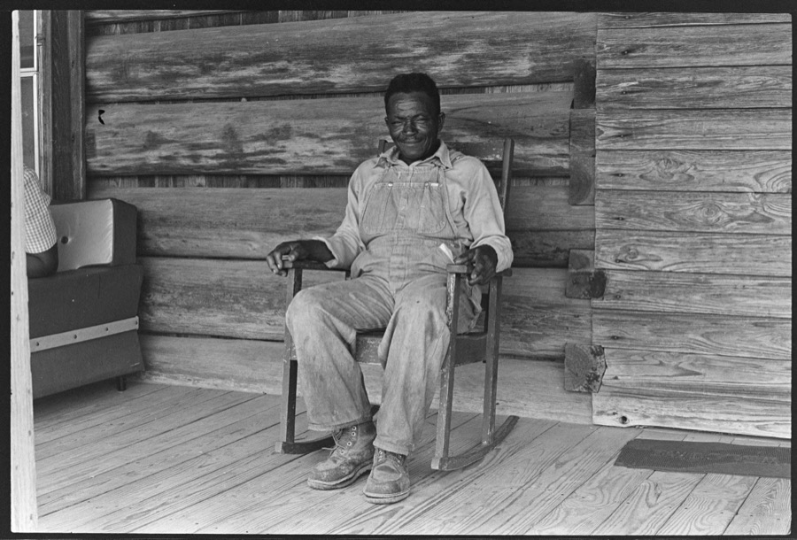
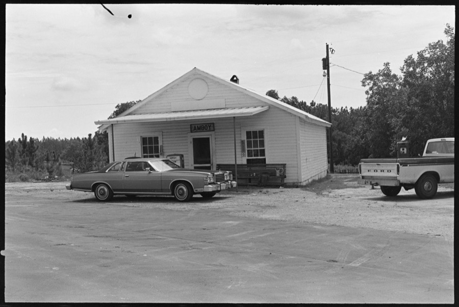
Taken for the Office of War Information and the Farm Security Administration, who photographed the country between 1935 and 1944. Works of United States government photographers, with no known restriction on use. Each opens its catalogue record.
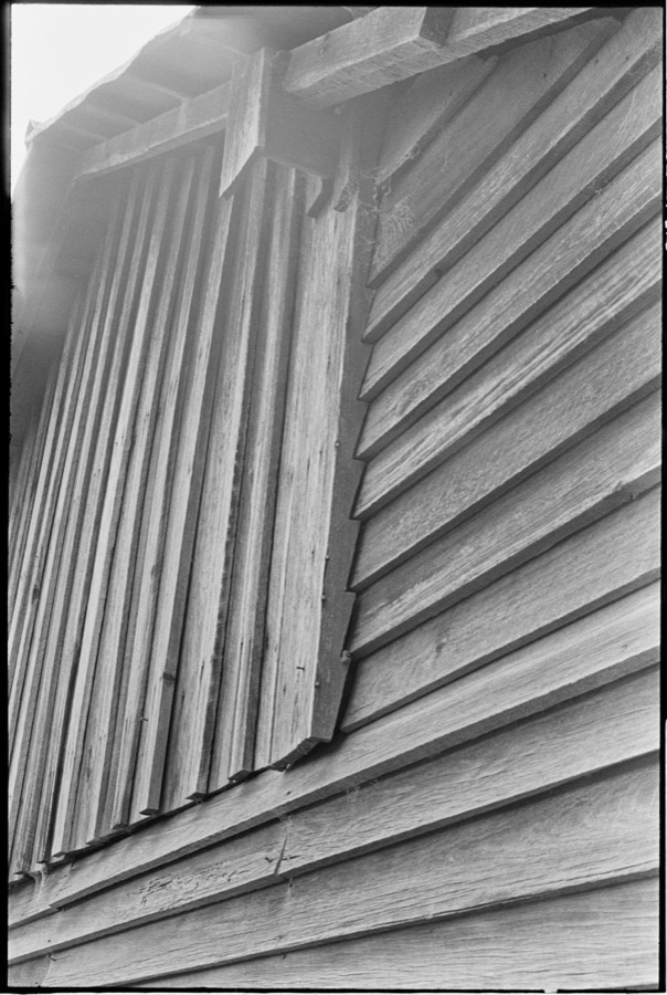



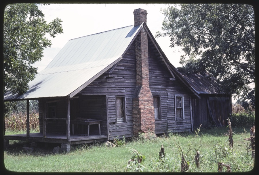
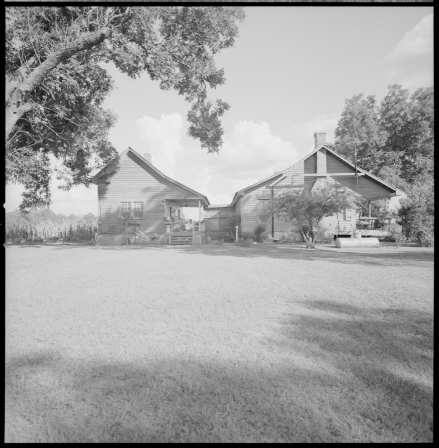

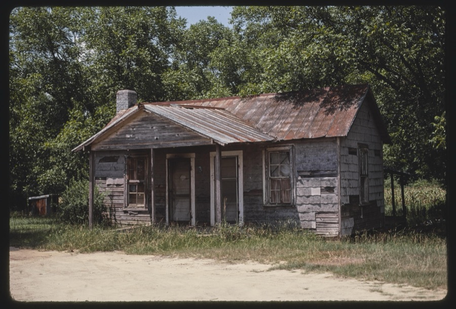

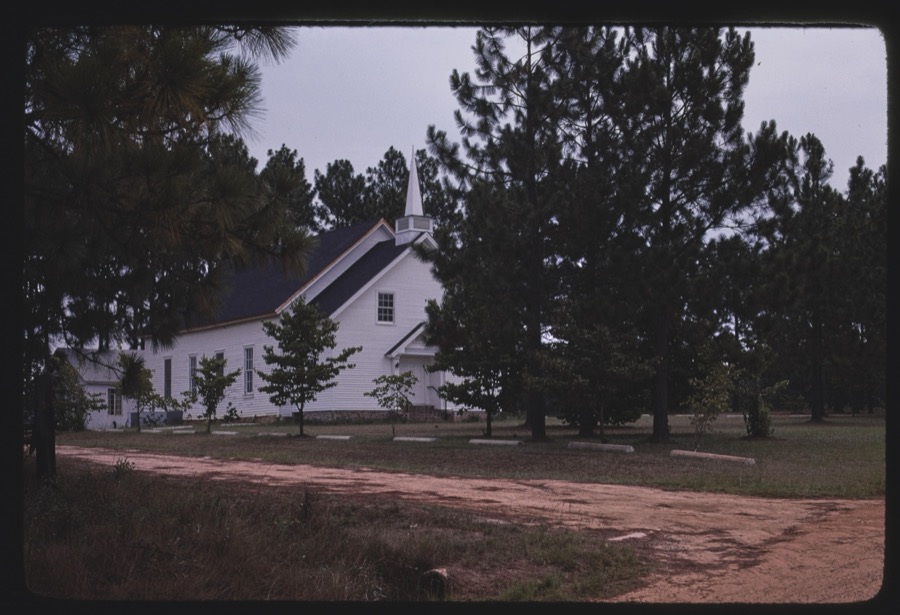



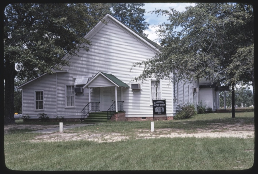
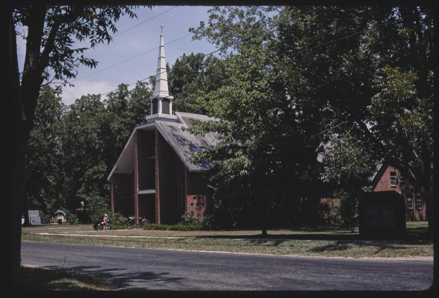
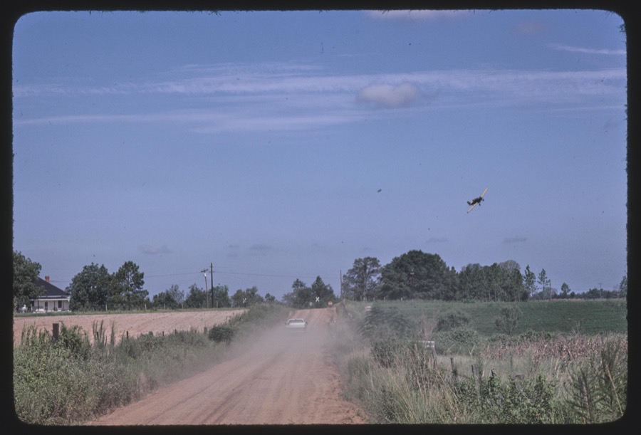

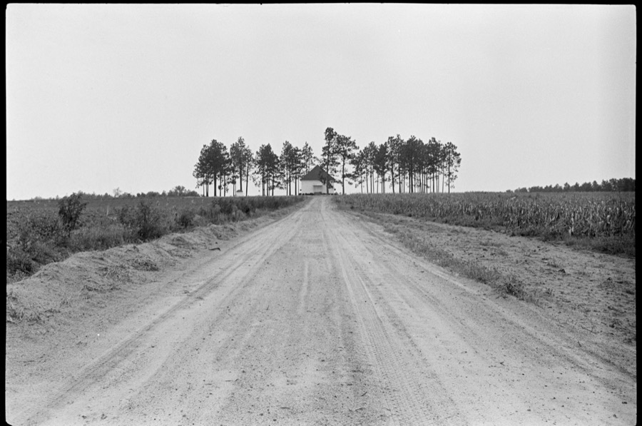
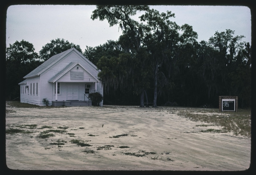
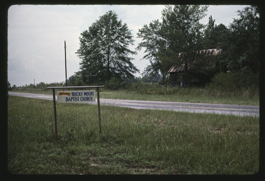
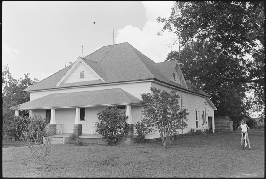
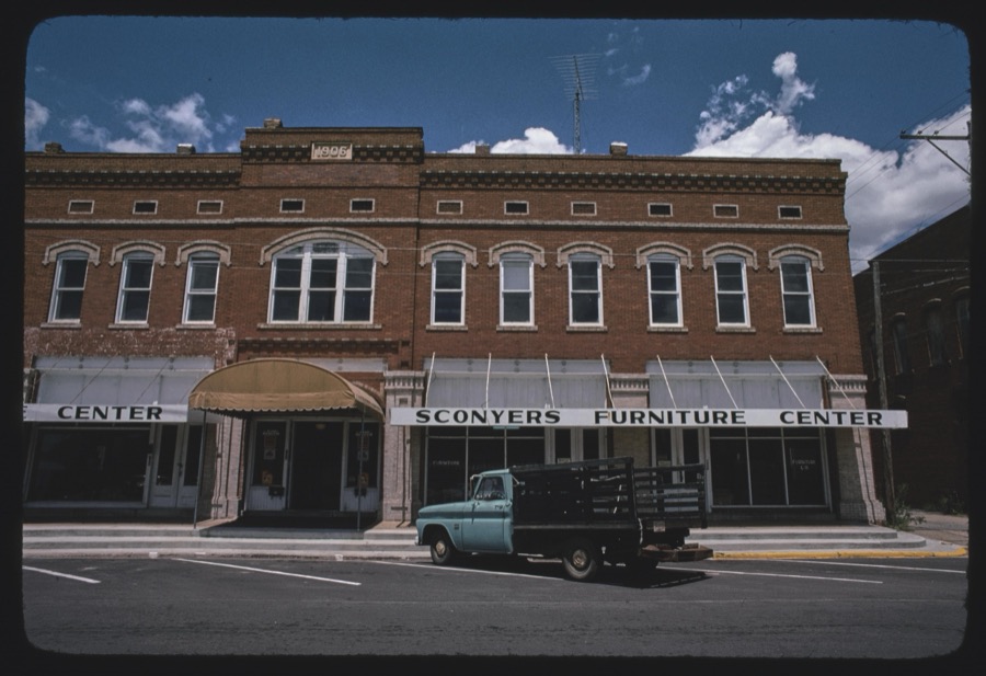
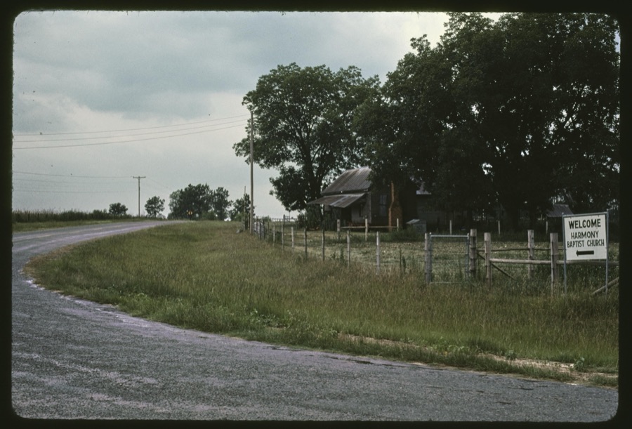

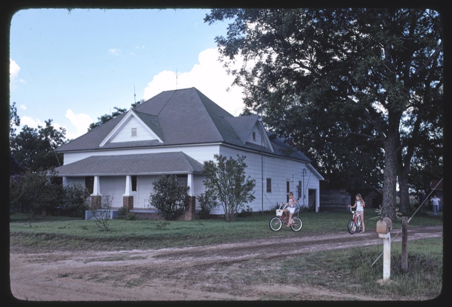
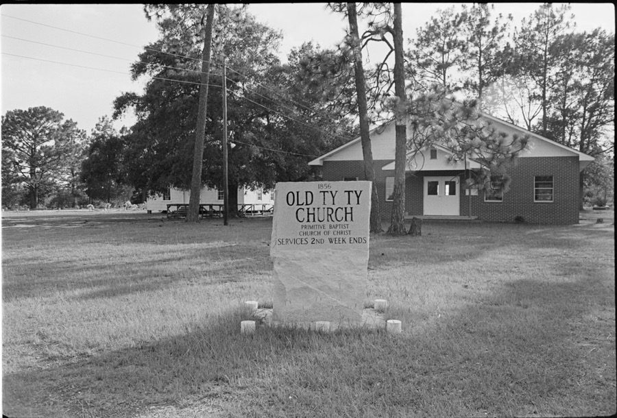

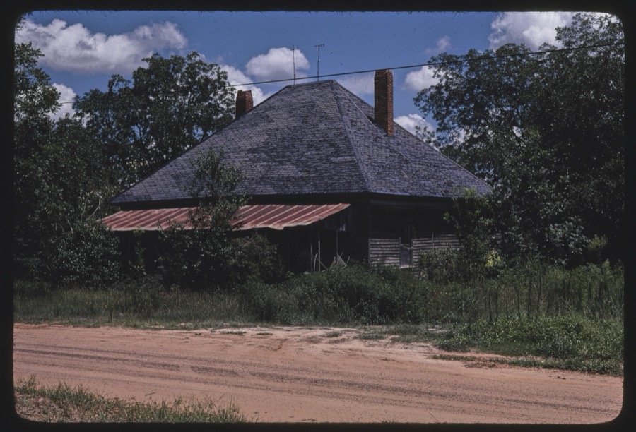

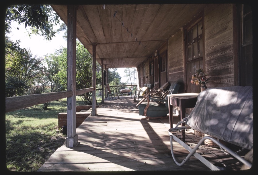






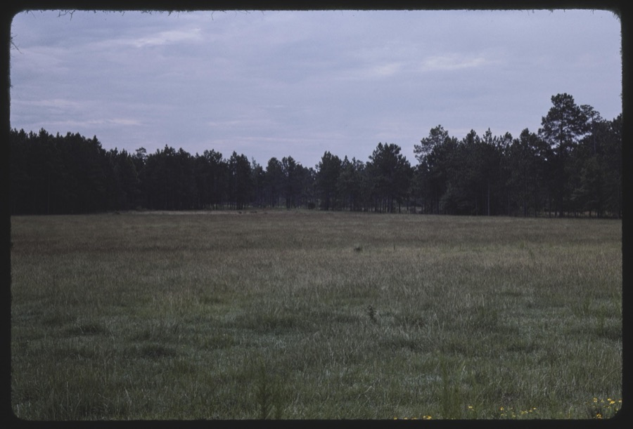
Every property in this county listed on the National Register of Historic Places, with the year it was listed and the federal nomination document.
| Photograph | Property | Type | Listed | Reference |
|---|---|---|---|---|
| Ashburn Commercial Historic District | district | 1992 | 92001042 | |
| Ashburn Heights-Hudson-College Avenue Historic District | district | 1992 | 92001411 | |
| Shingler Heights Historic District | district | 1992 | 92001571 | |
 | Turner County Courthouse | building | 1980 | 80001247 |
 | Turner County Jail | building | 1982 | 82002490 |
| Wesleyan Methodist Campground and Tabernacle | district | 1998 | 98001485 |
Sampled issues, machine-read from the Library of Congress scan and published page by page, so every headline and column is searchable text.
Ashburn, Ga., 190? to 1984. Machine-read from the Library of Congress scan.
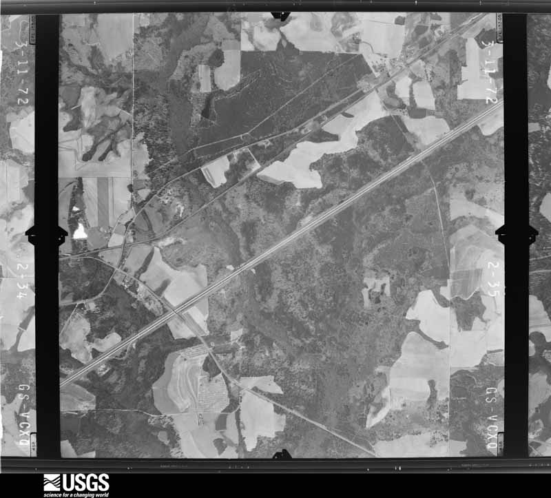
Flown by the U.S. Geological Survey between 1937 and 1989, the Aerial Photo Single Frames collection is the definitive mid-century view of the land: fields, roads and rivers as the camera saw them. The Survey holds 369 frames inside the rectangle that bounds this county; the 8 frames below were taken over the county itself, chosen across the decades of flights (at most four a year from that rectangle), so one flight cannot crowd out the rest. The full set is free to browse and download at EarthExplorer under the dataset Aerial Photo Single Frames.







The thermometers that kept this county's weather, as the federal records hold them. The extremes below are measured values from those records, not estimates.
Who lived here in 1950, one enumeration district at a time, as the Census Bureau described each district. Each row opens its official National Archives result, with Population Schedules and ED Maps available there.
Every wildfire the federal occurrence database records inside this county: 1,197 of them, burning about 3,858 acres. 35 started naturally and 161 were recorded as arson. Each settlement page carries the fires within five miles of it.
| Reported cause | Fires |
|---|---|
| Debris and open burning | 722 |
| Equipment and vehicle use | 191 |
| Arson/incendiarism | 161 |
| Missing data/not specified/undetermined | 38 |
| Natural | 35 |
| Smoking | 16 |
| Railroad operations and maintenance | 13 |
| Recreation and ceremony | 12 |
| Misuse of fire by a minor | 9 |
The five largest, by the area the report gives. Four of them were set deliberately.
| Date | Cause | Size | Reported by | Name on the report |
|---|---|---|---|---|
| 7 April 2007 | Arson/incendiarism | 182 acres | Georgia Forestry Commission | WORTH40 |
| 30 March 1999 | Arson/incendiarism | 88 acres | Georgia Forestry Commission | not named |
| 22 June 2008 | Natural | 78 acres | Georgia Forestry Commission | not named |
| 19 November 2005 | Arson/incendiarism | 77 acres | Georgia Forestry Commission | not named |
| 3 January 2004 | Debris and open burning | 59 acres | Georgia Forestry Commission | not named |
| 11 February 1996 | Arson/incendiarism | 57 acres | Georgia Forestry Commission | not named |
| 16 March 2011 | Debris and open burning | 57 acres | Georgia Forestry Commission | FY2011-TURNER-053 |
| 3 April 1995 | Debris and open burning | 56 acres | Georgia Forestry Commission | not named |
Every settlement page carries the fires within five miles of it - see the settlement index below.
The NOAA Storm Events Database holds 187 reports for this county, causing 2 deaths, 45 injuries and about $9,337,000 in recorded property damage. Each settlement page carries the reports that name it.
| Kind of event | Reports |
|---|---|
| Thunderstorm Wind | 110 |
| Hail | 34 |
| Flood | 25 |
| Tornado | 10 |
| Flash Flood | 7 |
| Lightning | 1 |
The most serious of them, by death, then injury, then recorded damage. The accounts are quoted exactly as the forecast office filed them.
| When | Event | Place named | Harm | What the report says |
|---|---|---|---|---|
| December 2007 | Tornado (EF1) | Ashburn | 1 killed, $1,250,000 | A tornado touched down just southwest of Ashburn and tracked northeast through the city. Numerous trees were toppled, with several on top of houses and vehicles. Four mobile homes were destroyed and 39 frame homes were damaged. The tornado's winds twisted steel beams and tore the roofs off of two peanut warehouses. Numerous businesses were damaged. The tornado snapped the tops of pine trees just northeast of Ashburn. A semi traveling north on Interstate 75 near mile marker 83 was blown into an embankment. The driver was killed on impact. |
| January 2017 | Thunderstorm Wind | Dakota | 1 killed, $250,000 | An NWS survey team determined that straight line winds of 80 mph moved across Turner county. The severe winds downed hundreds of trees, knocked over a church steeple, and removed shingles and metal roofing from mobile homes and well-constructed outbuildings. In addition, a few mobile homes were damaged by falling trees and one outbuilding was destroyed when the wind shifted it off the blocks on which it was located. This resulted in one fatality. The damage was confined to roughly a 6.5 mile by 4 mile box. Damage cost was estimated. |
| January 2017 | Tornado (EF3) | Hobby | 25 hurt, $5,000,000 | This is a continuation of the EF3 tornado from Worth and Dougherty counties. The tornado entered Turner County along and north of Son Story Road with max winds estimated around 150 mph. Damage to a frame home along Ireland road was consistent with EF3 damage. Additional EF2 damage was found along this road. There was also some evidence for multiple vortices near the intersection of Ireland Road and U.S. 41. Additional EF3 damage was observed on King Burgess Circle where a large frame house was severely damaged and multiple mobile homes were destroyed. The tornado continued northeast across Interstate 75 causing EF2 damage to several frame homes and mobile homes. Tree damage diminished as the tornado approach the Wilcox county line, suggesting that the tornado temporarily weakened. The Turner county emergency manager said up to 25 people were injured in Turner county. Damage cost was estimated. |
| August 1968 | Tornado (F2) | not stated | 12 hurt, $250,000 | no account filed |
| March 1991 | Tornado (F1) | not stated | 4 hurt, $250,000 | no account filed |
| July 2004 | Lightning | Ashburn | 2 hurt | Two persons were injured by lightning. Several fires were ignited by lightning. Reported by the Turner County Sheriff. |
| December 2004 | Thunderstorm Wind | Ashburn | 1 hurt, $20,000 | One person was injured when their single-wide trailer overturned. Reported by the Turner County EMA. |
| May 2021 | Thunderstorm Wind | Amboy | 1 hurt, $5,000 | A 40x40 barn was destroyed along Reid Road with one serious injury reported to the person inside the barn. |
| March 2007 | Tornado (EF1) | Sycamore | $750,000 | The EF-1 tornado moved from northern Tift County into southeastern Turner County. Many trees on T & C Circle along the Tift-Turner county line were snapped and laid along the fence on the rural road. Roofs were peeled off large metal hay barns. One large barn was destroyed with several others damaged. A pivot irrigation system was damaged. Fifteen homes were damaged, of which two were destroyed, ten with major damage, and three with moderate damage. |
| February 2008 | Thunderstorm Wind | Ashburn | $500,000 | A grain silo was destroyed. Several buildings were blown off their foundations. Several trees were uprooted. Sixty-two structures sustained damage to shingles and roofs. |
| May 1983 | Tornado (F1) | not stated | $250,000 | no account filed |
| May 1983 | Tornado (F1) | not stated | $250,000 | no account filed |
| April 2022 | Tornado (EF1) | Rebecca | $100,000 | A tornado briefly touched down just along S. Washington Street southeast of Rebecca in Turner County. The tornado caused significant damage to several chicken houses before quickly dissipating. This tornado was rated an EF1 with max winds estimated at 90 mph. |
| June 2011 | Thunderstorm Wind | Sycamore | $100,000 | Numerous trees were blown down including some through houses. However, no injuries were reported. The monetary damage figure provided is a rough estimate. |
| May 1999 | Thunderstorm Wind | Ashburn | $80,000 | Numerous trees down and roof blown off courthouse reported by Turner County EMA. |
| June 2015 | Thunderstorm Wind | Ashburn | $50,000 | Twenty to thirty trees were blown down in Ashburn with numerous power outages. |
| February 1995 | Thunderstorm Wind | Ashburn | $30,000 | Thunderstorm winds blew a carport 150 feet partially destroying it. A large tree was blown 100 feet. Numerous tree limbs were also blown onto power lines. |
| June 1978 | Tornado (F1) | not stated | $25,000 | no account filed |
| May 2006 | Thunderstorm Wind | Countywide | $15,000 | The Turner County Sheriff reported numerous trees down throughout the county. An awning on a house was blown off. |
| June 1998 | Thunderstorm Wind | Countywide | $15,000 | Trees and power lines down countywide. A few barns were destroyed. |
| March 2026 | Thunderstorm Wind | Amboy | $10,000 | A tree was down, irrigation pivots were blown over, and a barn collapsed on Reid Rd. |
| June 2016 | Thunderstorm Wind | Dakota | $10,000 | Numerous trees and power lines were blown down across Turner county. Damage was estimated. |
| June 2015 | Thunderstorm Wind | Rebecca | $10,000 | An abandoned building in Rebecca collapsed on three sides due to strong winds. Damage was estimated. |
| April 2007 | Thunderstorm Wind | Ashburn | $10,000 | Two trees fell on two vehicles. |
| December 2002 | Thunderstorm Wind | Countywide | $10,000 | Downed trees and power lines reported by GEMA. |
| July 2002 | Thunderstorm Wind | Ashburn | $10,000 | A few downed trees and power lines. A roof was blown off a shed. Reported by the Turner County Sheriff. |
| April 2011 | Thunderstorm Wind | Ashburn | $6,000 | A few trees and power lines were blown down in Ashburn. The monetary damage figure provided is a rough estimate. |
| August 2021 | Thunderstorm Wind | Ashburn | $5,000 | Trees were blown down on Highway 112 with some reports of roof damage. |
| April 2017 | Thunderstorm Wind | Hobby | $5,000 | Numerous trees and power lines were blown down across Turner county. |
| February 2007 | Thunderstorm Wind | Ashburn | $5,000 | The Turner County EMA reported numerous downed trees throughout the county. |
| July 2004 | Thunderstorm Wind | Ashburn | $5,000 | Downed trees and power lines reported by the Turner County Sheriff. |
| March 1993 | Thunderstorm Wind | Rebecca | $5,000 | Several large trees toppled by thunderstorm winds also downed several power lines. |
| July 2012 | Thunderstorm Wind | Ashburn | $4,000 | Trees were blown down across the county. Monetary damage was estimated. |
| March 1996 | Thunderstorm Wind | Ashburn | $4,000 | no account filed |
| July 2025 | Thunderstorm Wind | Rebecca | $3,000 | Several downed trees and power lines were reported on Legg Road. |
| May 2024 | Thunderstorm Wind | Dakota | $3,000 | Multiple trees and power lines were blown down in western Turner county. |
| May 2021 | Thunderstorm Wind | Ashburn | $3,000 | Trees and power lines were blown down. |
| May 2021 | Thunderstorm Wind | Rebecca | $3,000 | Trees and power lines were blown down. |
| April 2020 | Thunderstorm Wind | Ashburn | $3,000 | Trees were blown down, including some trees on power lines. |
| June 2015 | Thunderstorm Wind | Sycamore | $3,000 | A tree was blown down onto power lines causing a power outages in the town of Sycamore. |
| April 2014 | Thunderstorm Wind | Ashburn | $3,000 | In the Ashburn area, one tree was uprooted and blocked a road, one power line was blown down, and one cable line was blown down. |
| January 2013 | Thunderstorm Wind | Ashburn | $3,000 | Several trees were blown down around Ashburn on four different roads. Monetary damage was estimated. |
| July 2012 | Thunderstorm Wind | Ashburn | $3,000 | Trees were blown down along Highway 112 near Ashburn. Monetary damage was estimated. |
| June 2000 | Thunderstorm Wind | Sycamore | $2,500 | Few trees and power lines down. Reported by Turner County 911. |
| May 2008 | Thunderstorm Wind | Ashburn | $2,000 | Several power lines were down in Ashburn. |
| July 2007 | Thunderstorm Wind | Ashburn | $2,000 | Several trees were down. A wooden shelter was damaged. |
| May 2003 | Thunderstorm Wind | Countywide | $2,000 | Numerous downed trees reported by Turner County 911. |
| August 2000 | Thunderstorm Wind | Rebecca | $2,000 | Some trees and power lines down. Reported by the Turner County EMA. |
| March 2026 | Thunderstorm Wind | Inaha | $1,000 | A billboard was blown over along I-75 near Inaha. |
| August 2010 | Thunderstorm Wind | Rebecca | $1,000 | A couple of trees were blown down along Waterloo Rebecca Highway and Cherokee Lane. The monetary damage figure provided is a rough estimate. |
| August 2003 | Thunderstorm Wind | Sycamore | $1,000 | Several downed trees along Highway 112 reported by the Turner County Sheriff. |
| April 2002 | Thunderstorm Wind | Ashburn | $1,000 | Downed trees reported by the Turner County EMA. |
| June 1999 | Thunderstorm Wind | Ashburn | $1,000 | Two dozen cedar and pine trees were snapped or uprooted around GA Highway 112. |
| June 1995 | Thunderstorm Wind | Dakota | $1,000 | Thunderstorm winds knocked down five trees in the northwest portion of Turner County. One of the trees were blocking Georgia Highway 41 north. |
| March 1996 | Thunderstorm Wind | Ashburn | $1,000 | no account filed |
| July 2014 | Thunderstorm Wind | Worth | $500 | A tree was blown down on Green Valley Road. |
| July 2014 | Thunderstorm Wind | Ashburn | $500 | A tree was blown down on Peacock Road. |
| July 2014 | Thunderstorm Wind | Amboy | $500 | A tree was blown down on Kendrick Road. |
| August 2014 | Thunderstorm Wind | Worth | $500 | A couple of trees were blown down on Warwick Highway. |
| January 2013 | Thunderstorm Wind | Inaha | $500 | A tree was blown down across Highway 32 between I-75 and the Irwin-Turner county line. This was reported by the public via the WALB-TV facebook page. |
The Survey's mineral resources record lists 3 workings inside this county. None of them still produces: all are closed or unrecorded. Each settlement page carries the workings within five miles of it.
| Commodity | Workings |
|---|---|
| Sand and Gravel, Construction | 3 |
The least common of them first, because a county's hundredth gravel pit says nothing its first ten did not.
| Where | Site | Commodity | Status | Recorded |
|---|---|---|---|---|
| Unnamed Sand Deposit | Sand and Gravel, Construction | Occurrence | Alluvium | |
| Unnamed Sand Deposit | Sand and Gravel, Construction | Occurrence | Alluvium | |
| Unnamed Sand Pit | Sand and Gravel, Construction | Past Producer | 1985 |
Named settlements recorded in the Geographic Names Information System, each with the topographic sheets covering it. Villages, hamlets and abandoned places alike. Each is shown with the nearest named watercourse or landform and the survey quadrangle it falls on. The 1 place that was also surveyed for fire insurance comes first, with the number of atlases and photographs held for them.
Ashburn-Sycamore census division · 31714 · Ashburn quadrangle
7 sheets, 1953 to 1988
Fire insurance: 4 atlases
Rebecca census division · 31783 · On Big Branch · Rebecca quadrangle
7 sheets, 1953 to 1988
No longer a settlement
Rebecca census division · 31783 · Amboy quadrangle
7 sheets, 1953 to 1988
No longer a settlement
Ashburn-Sycamore census division · 31714 · Cuffietown quadrangle
10 sheets, 1953 to 1988
Ashburn-Sycamore census division · 31714 · Cuffietown quadrangle
10 sheets, 1953 to 1988
No longer a settlement
Ashburn-Sycamore census division · 31714 · Amboy quadrangle
7 sheets, 1953 to 1988
No longer a settlement
The vanished settlements of Turner County: the places named above that are no longer on the map.
7 topographic sheets and 4 fire insurance atlases, 1912 to 1942