 Block
From the record
16 National Register listings published here, 1 of them a National Historic Landmark.
Sources: the National Register database, National Park Service
94 topographic sheets and 8 fire insurance atlases across 3 places.
16 National Register listings published here, 1 of them a National Historic Landmark.
Sources: the National Register database, National Park Service
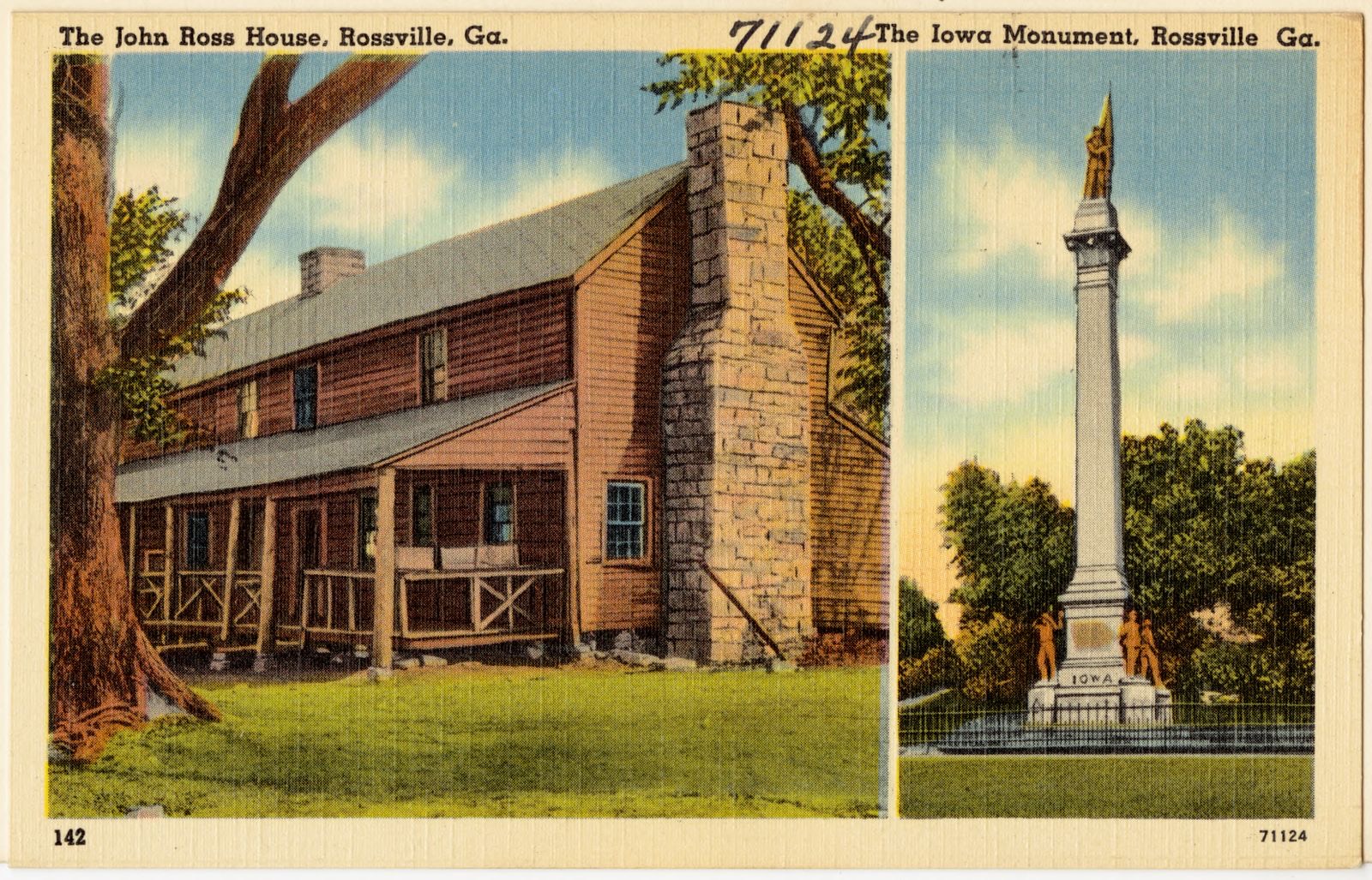
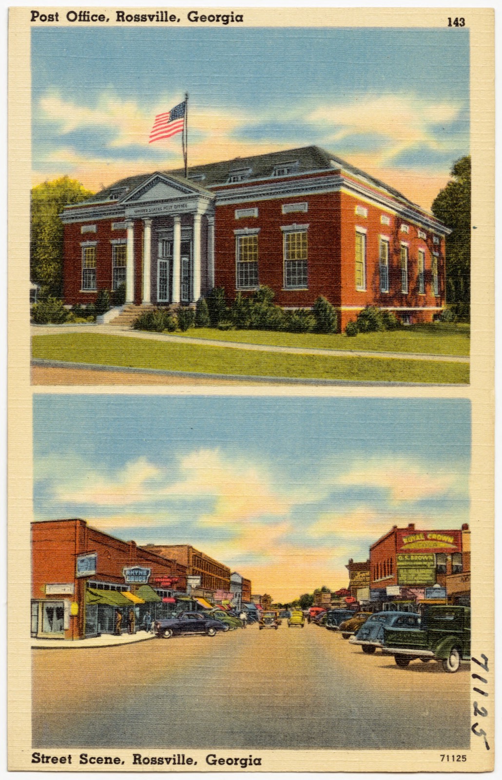
Taken for the Office of War Information and the Farm Security Administration, who photographed the country between 1935 and 1944. Works of United States government photographers, with no known restriction on use. Each opens its catalogue record.
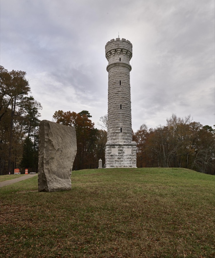
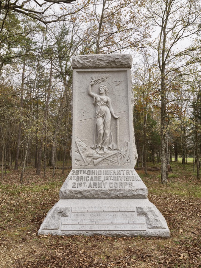


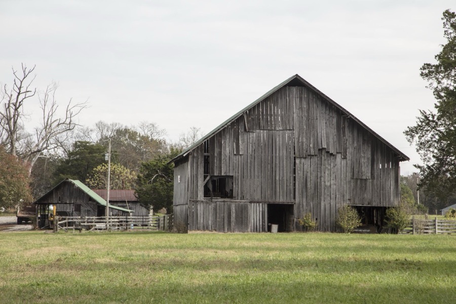

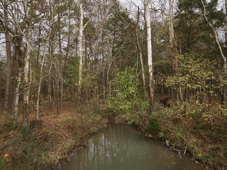

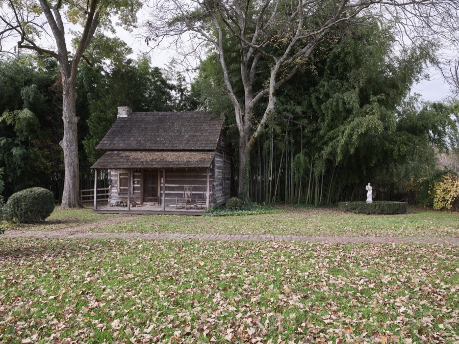
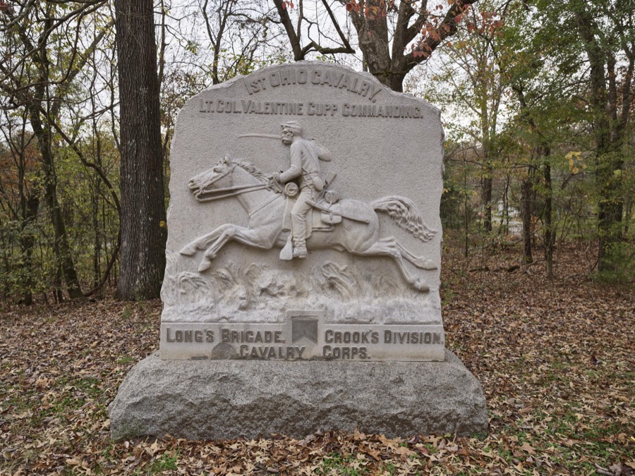
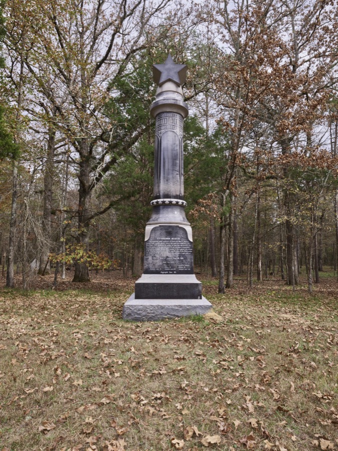
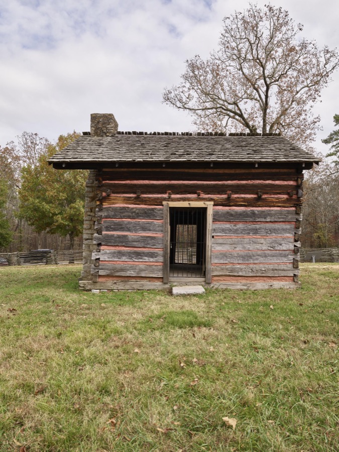

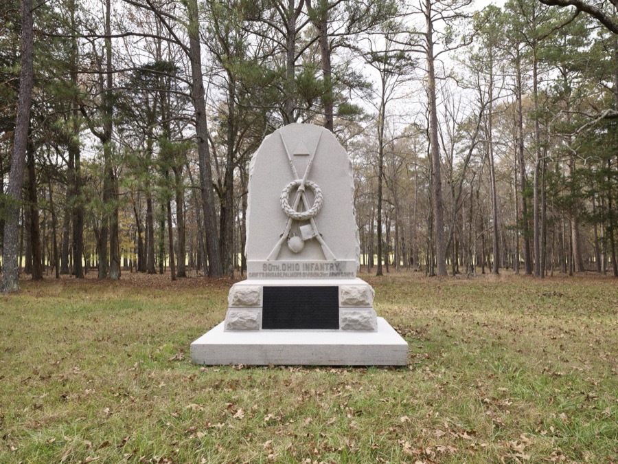
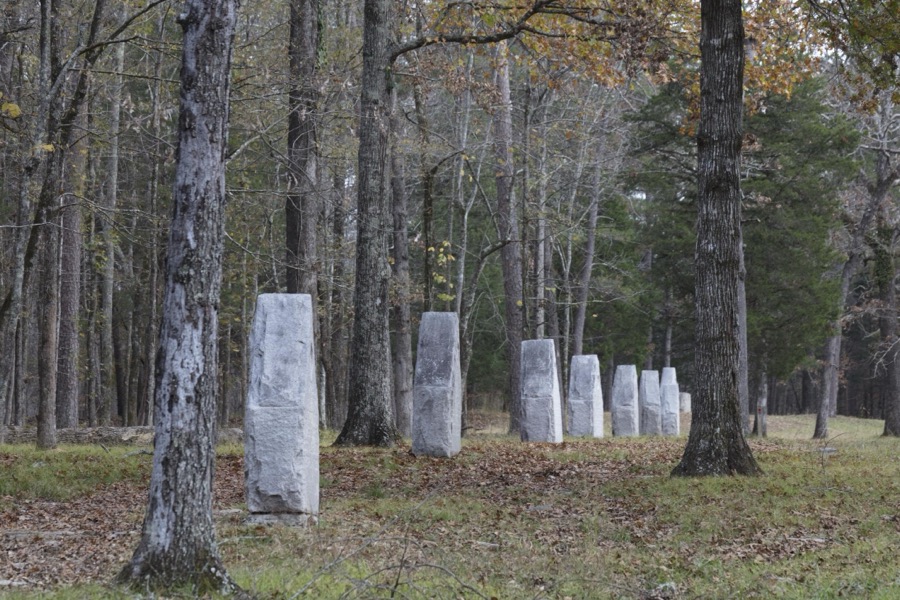
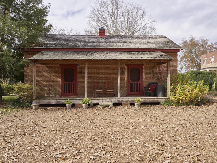
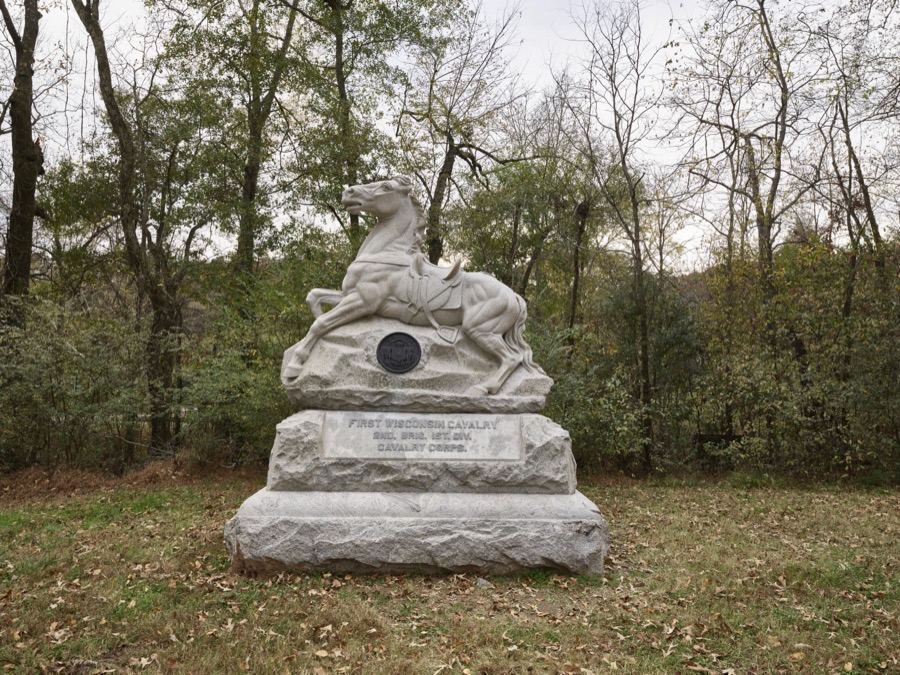
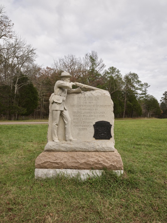

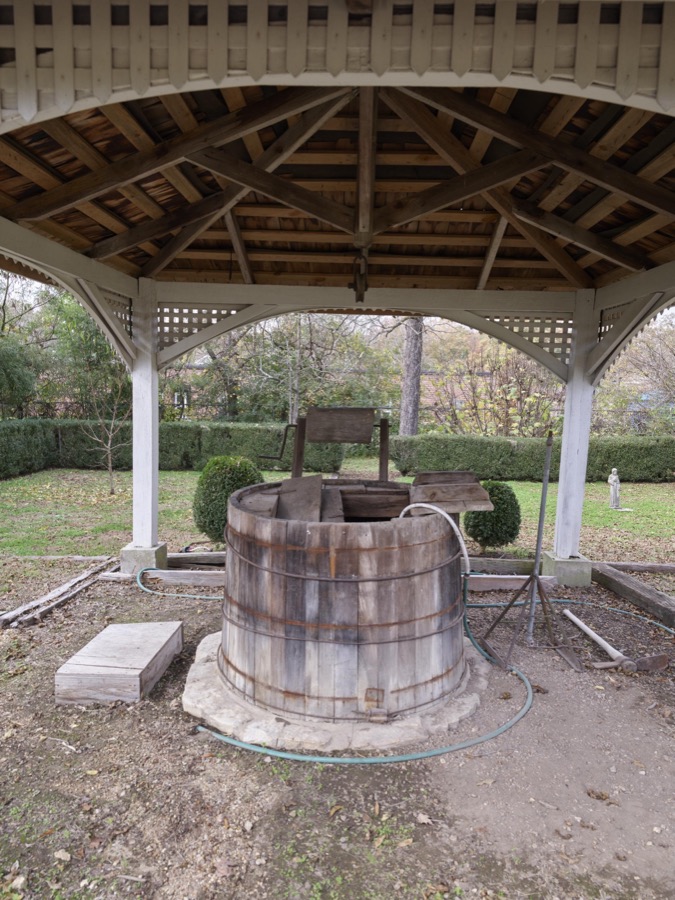
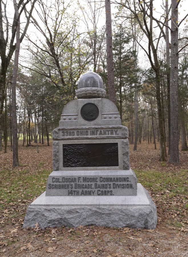

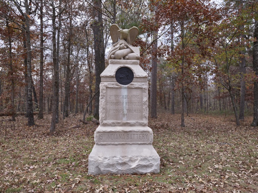
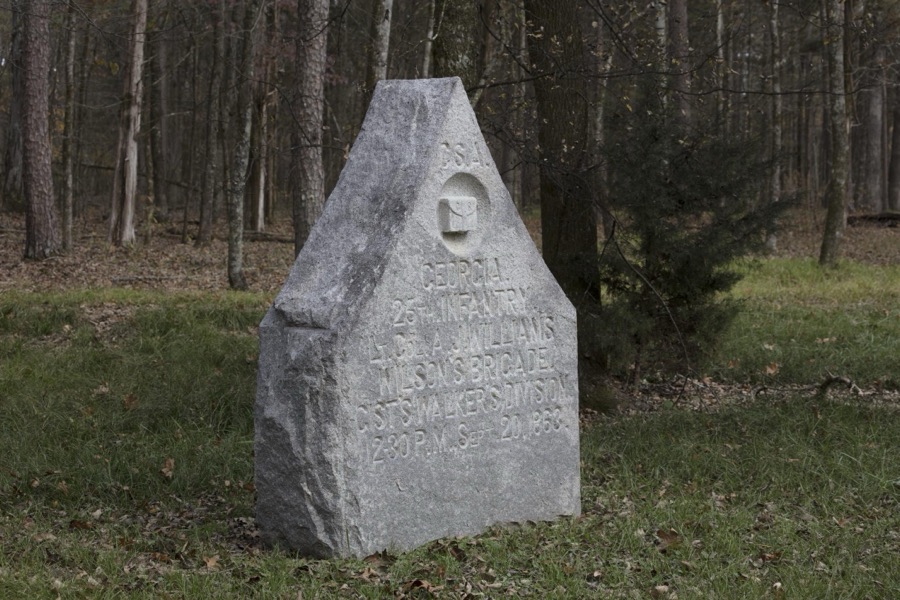
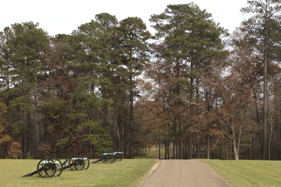
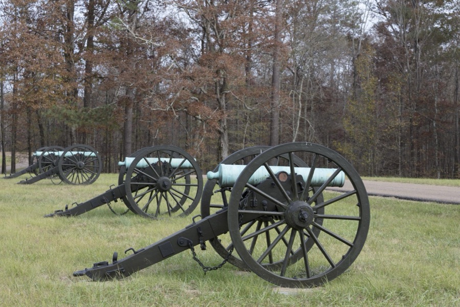
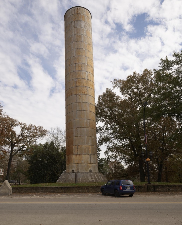
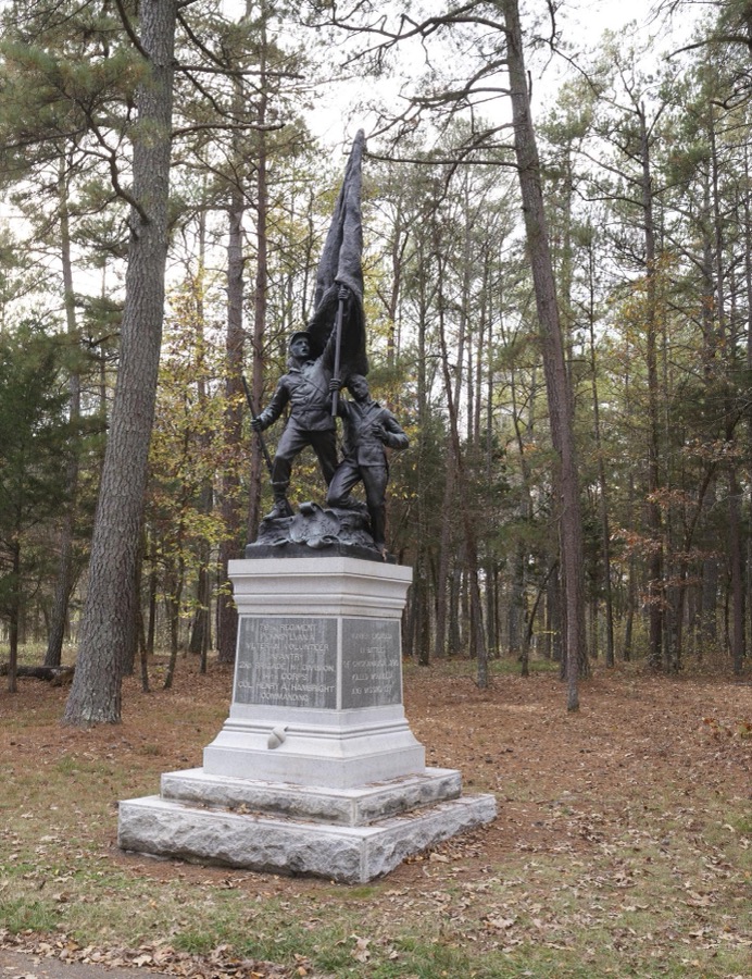
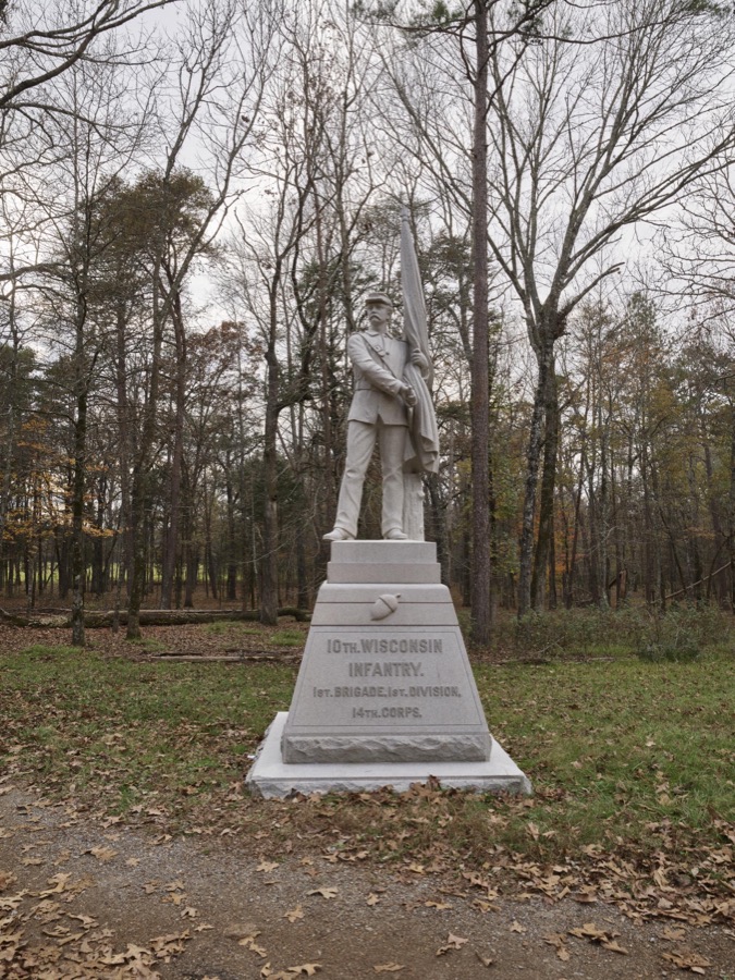
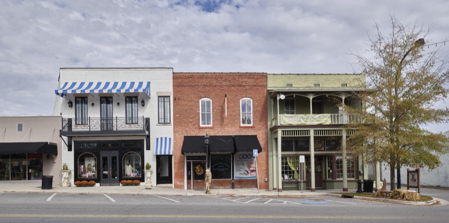

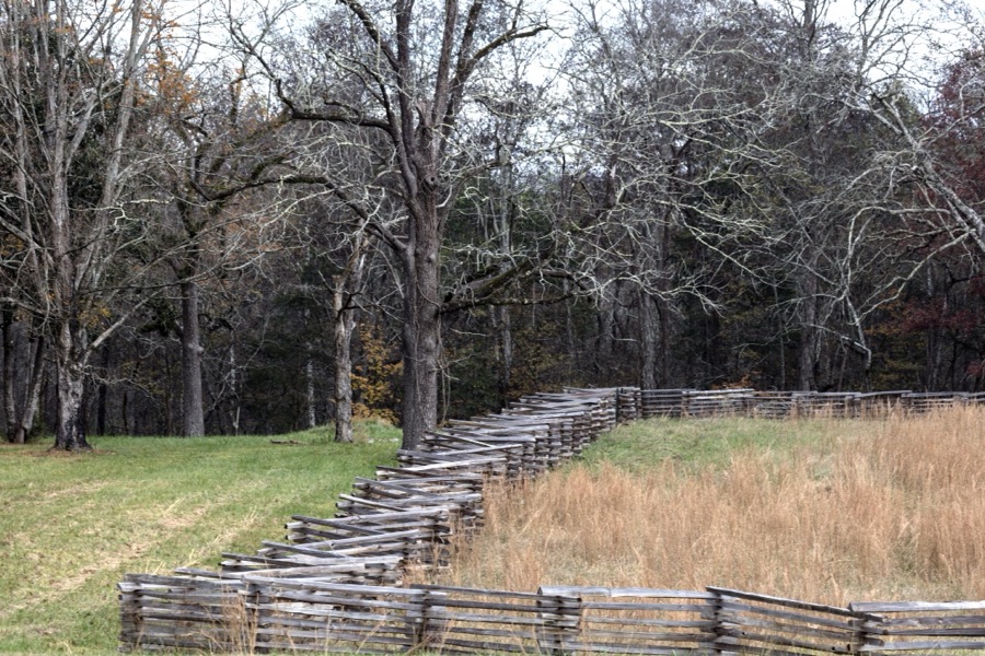
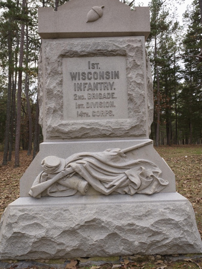
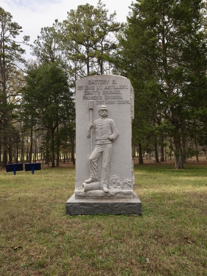
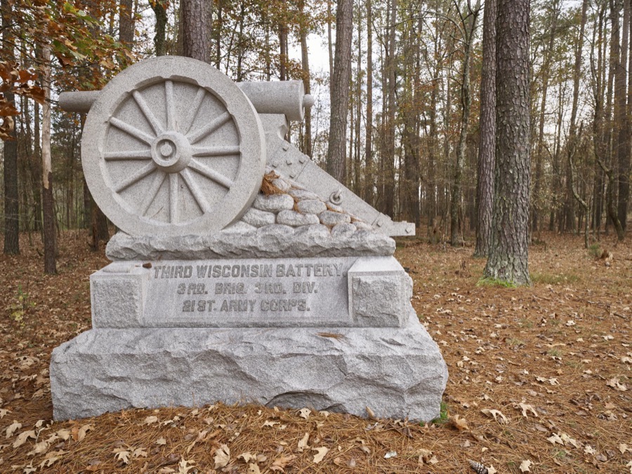

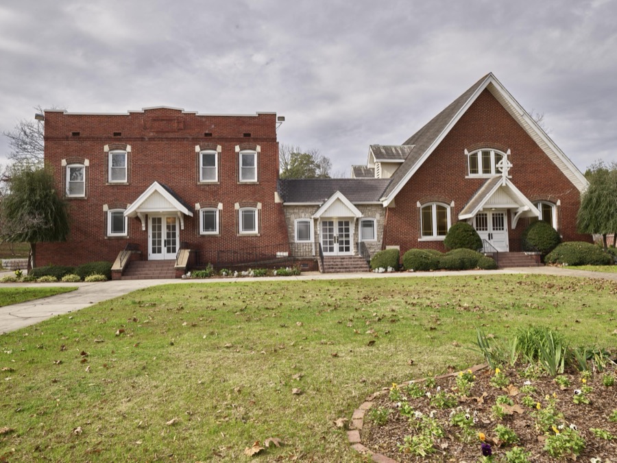
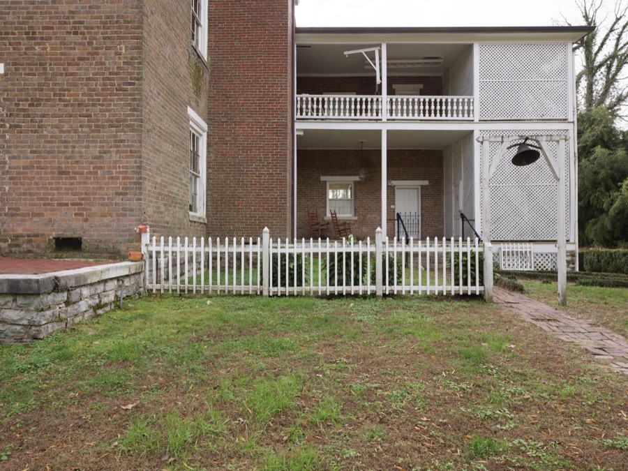
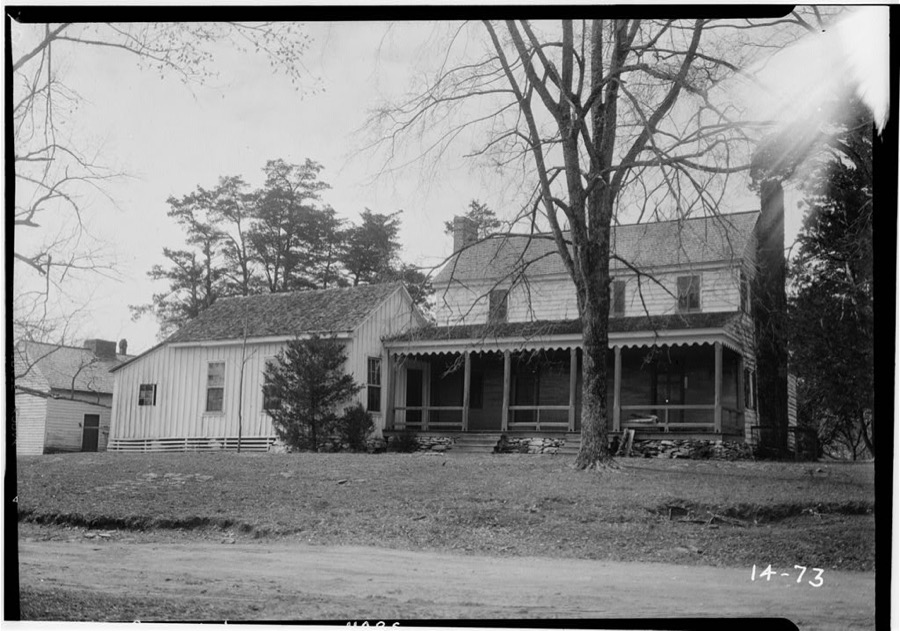
Every property in this county listed on the National Register of Historic Places, with the year it was listed and the federal nomination document.
| Photograph | Property | Type | Listed | Reference |
|---|---|---|---|---|
| Ashland Farm | building | 1973 | 73000646 | |
 | Cavender's Store | building | 1992 | 92000143 |
 | Chattooga Academy | building | 1980 | 80001253 |
 | Chickamauga Coal and Iron Company Coke Ovens | structure | 2009 | 09000188 |
 | Chickamauga Historic District | district | 2007 | 07000700 |
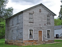 | Chickamauga Lodge No. 221, Free and Accepted Masons, Prince Hall Affiliate | building | 2006 | 06000736 |
 | Gordon-Lee House | building | 1976 | 76000654 |
 | Lee and Gordon Mill | building | 1980 | 80001252 |
| Lookout Mountain Fairyland Club | district | 1990 | 90000991 | |
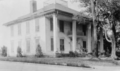 | Marsh-Warthen House | building | 2005 | 04001467 |
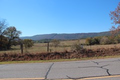 | McLemore Cove Historic District | district | 1994 | 94001140 |
| Miller Brothers Farm | building | 1987 | 87001332 | |
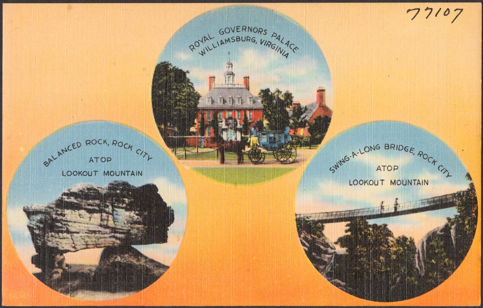
 | Rock City Gardens | district | 2014 | 14000619 |
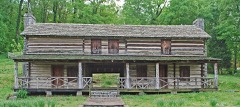 | John Ross House | building | 1973 | 73000647 |
 | US Post Office-Rossville Main | building | 1986 | 86002272 |
 | Walker County Courthouse | building | 1980 | 80001254 |
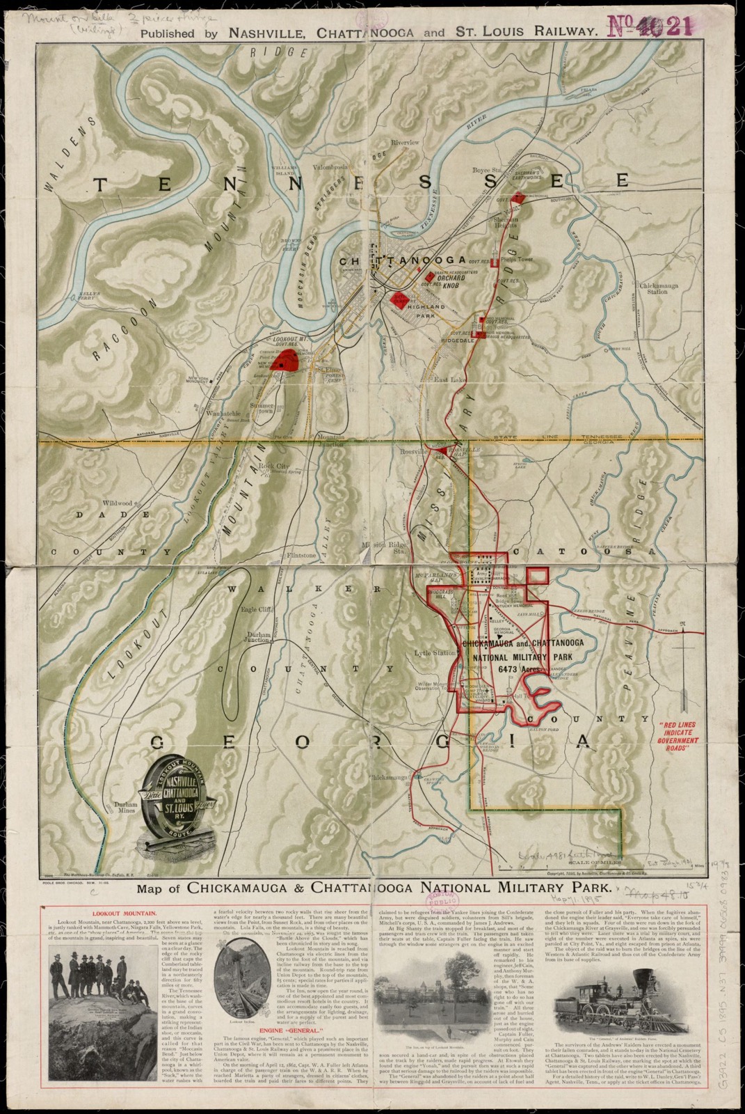
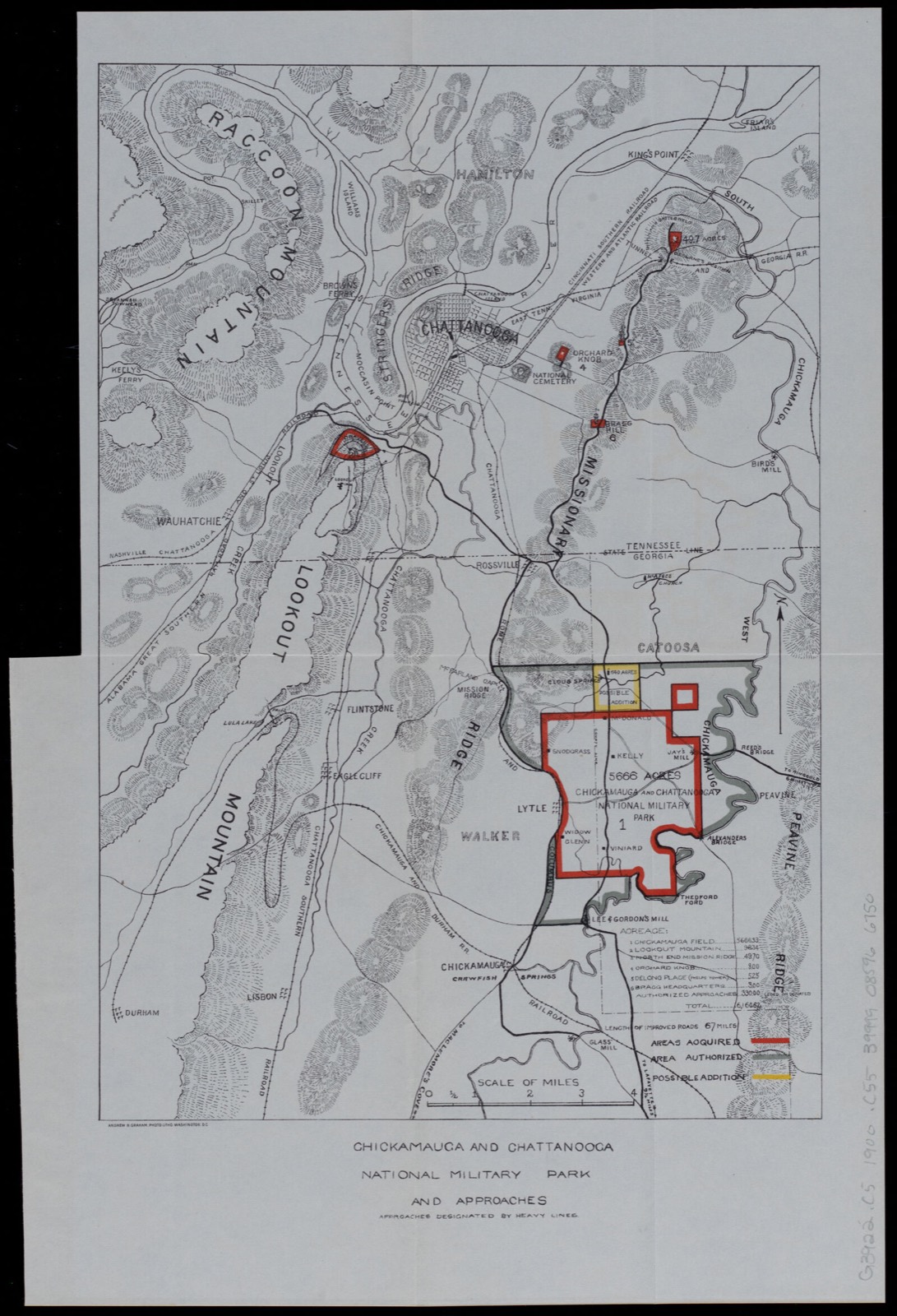
Drawn when these were printed as single large sheets: the town seen from the air, and the county divided into its farms with every owner named. Each opens the original at the Library of Congress.
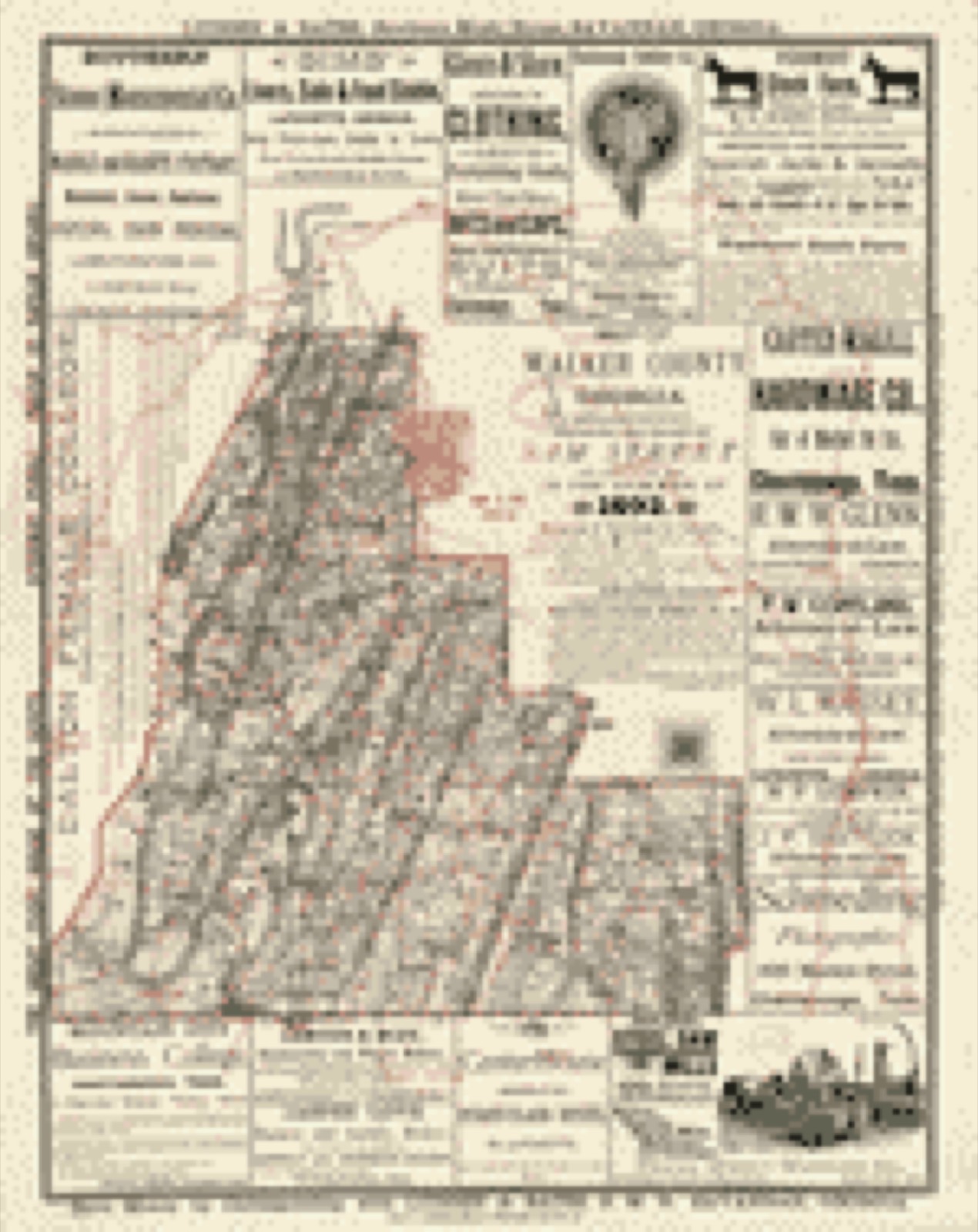
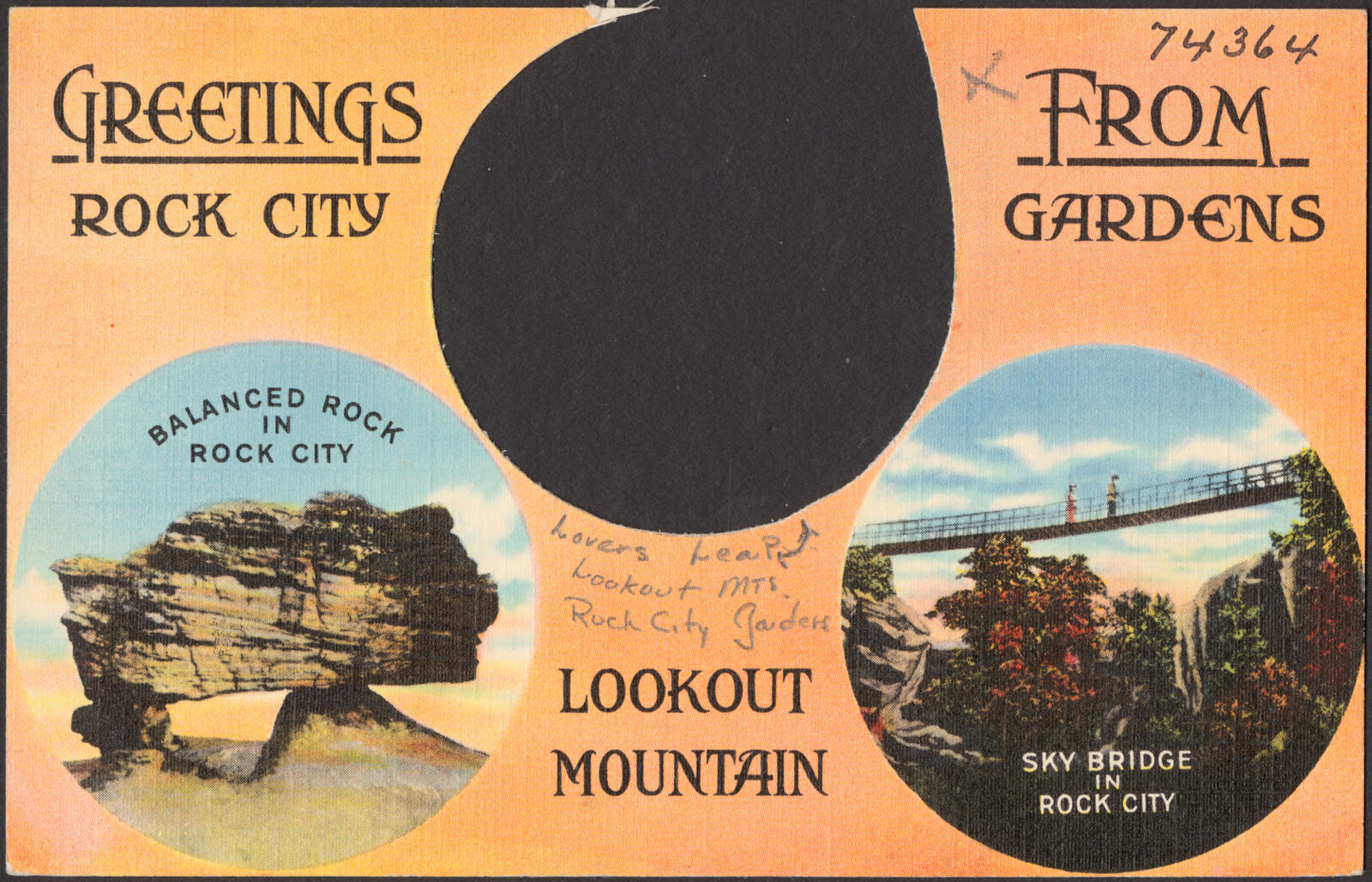
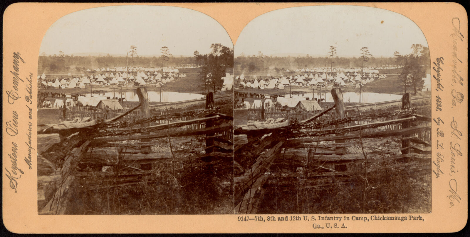
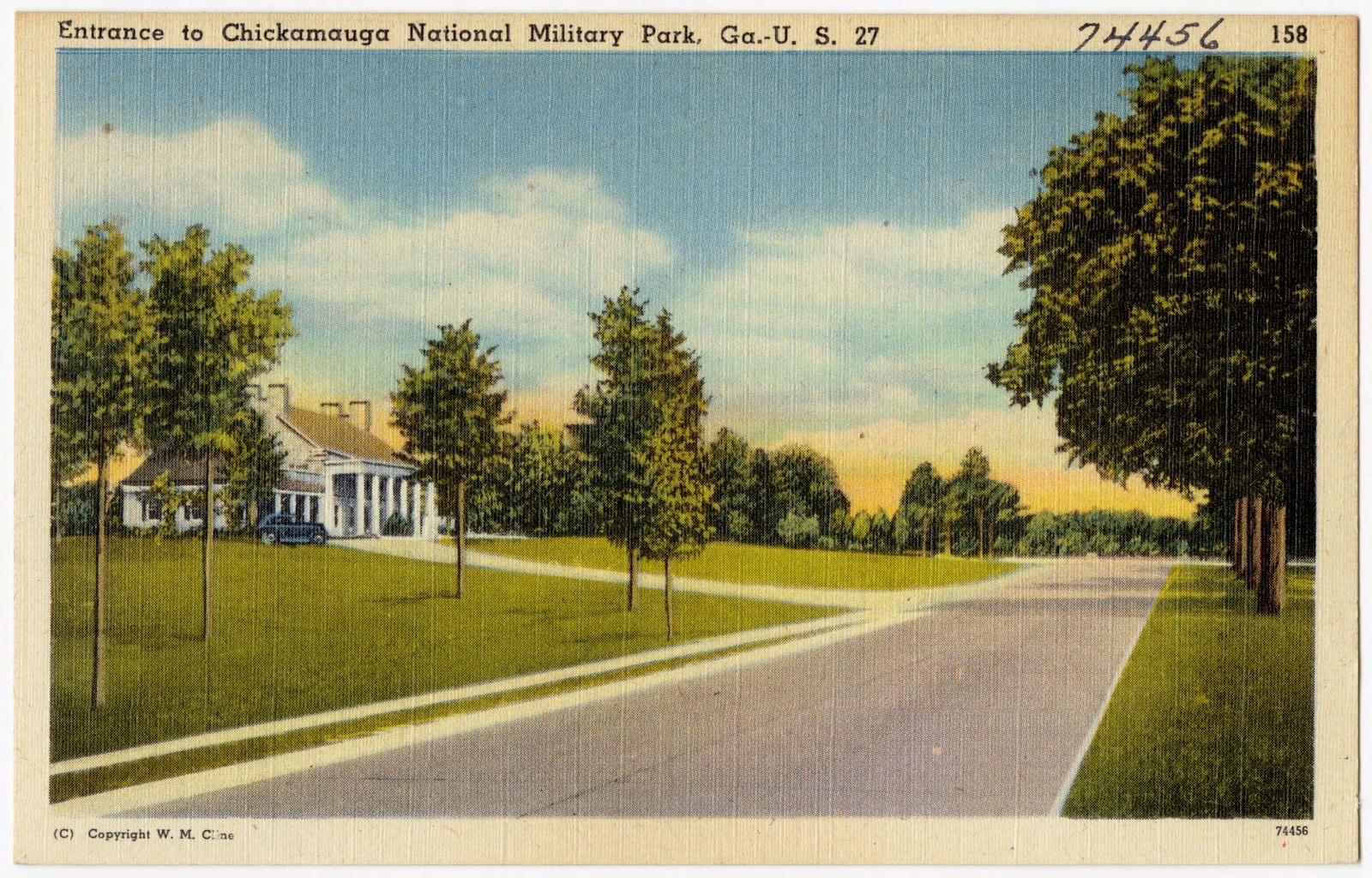
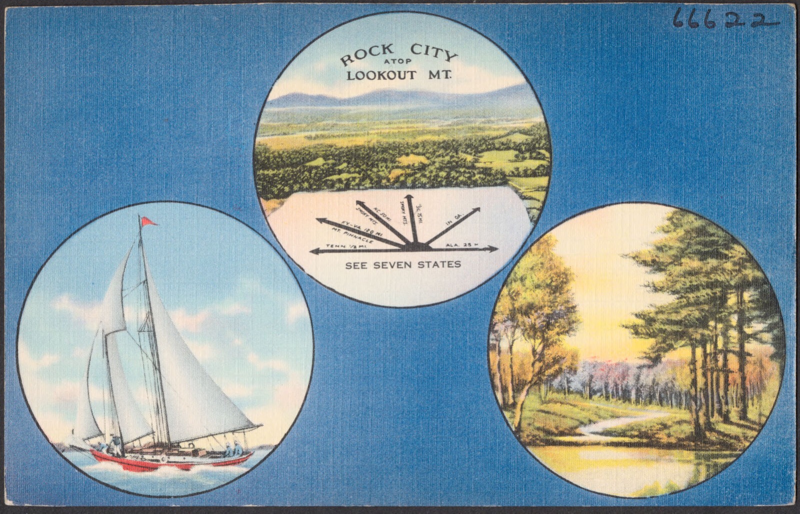
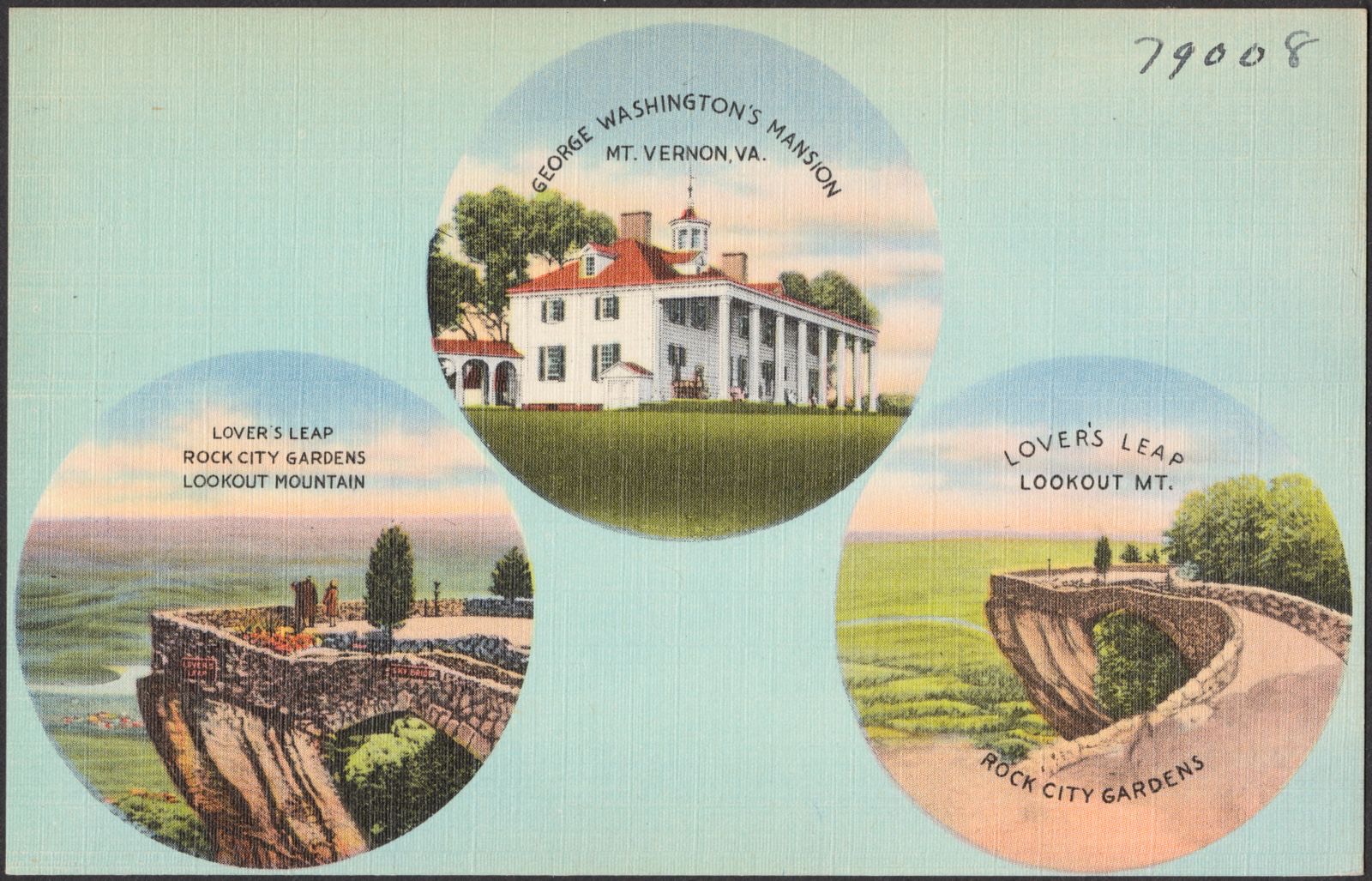
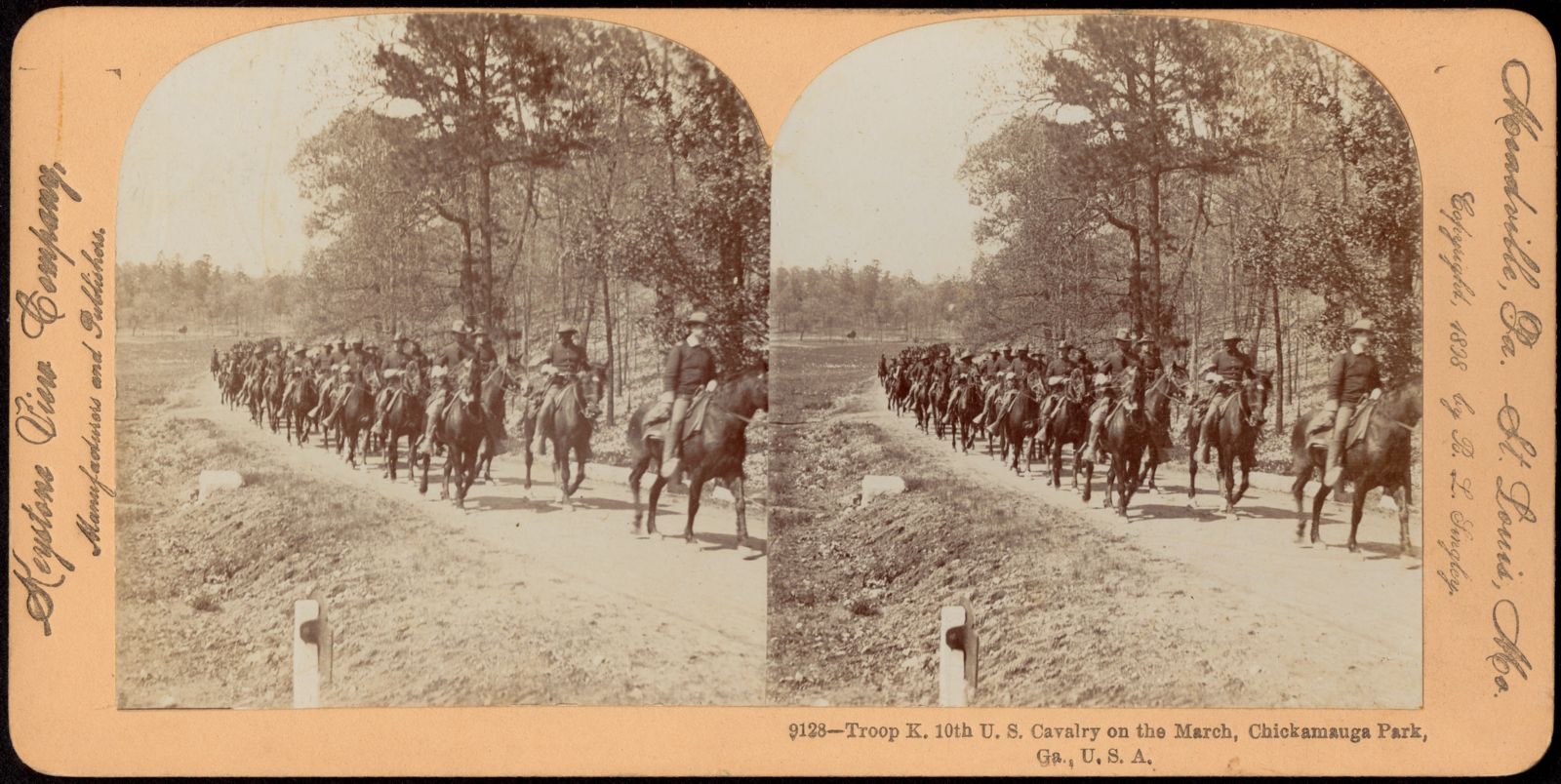
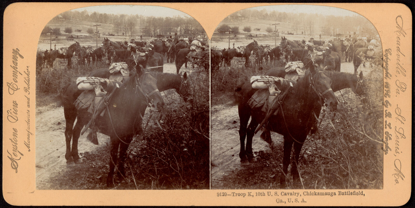
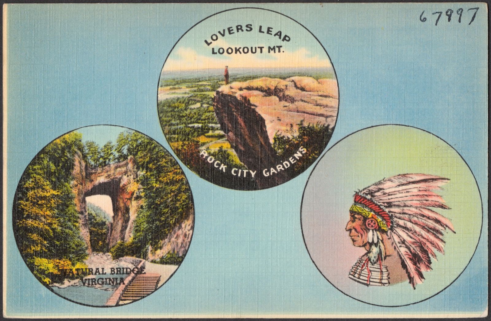
Selected from the Digital Public Library of America's 18 image records catalogued for this county. Every one shown here carries a public-domain status or a licence that permits reuse on a site that carries advertising; non-commercial, share-alike and restricted images are excluded. The selection is spread across the county's towns (at most eight per town), so no single institution's bulk upload crowds out the rest. Each opens the holding library's record, and the complete set at the Digital Public Library of America is one click away.


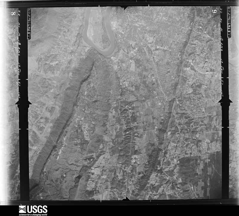
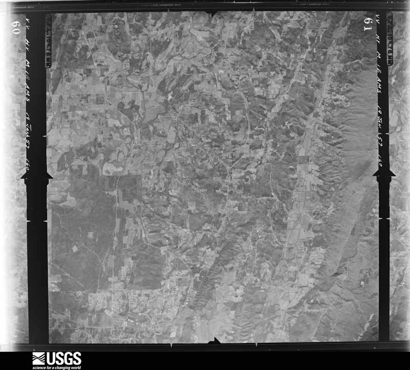
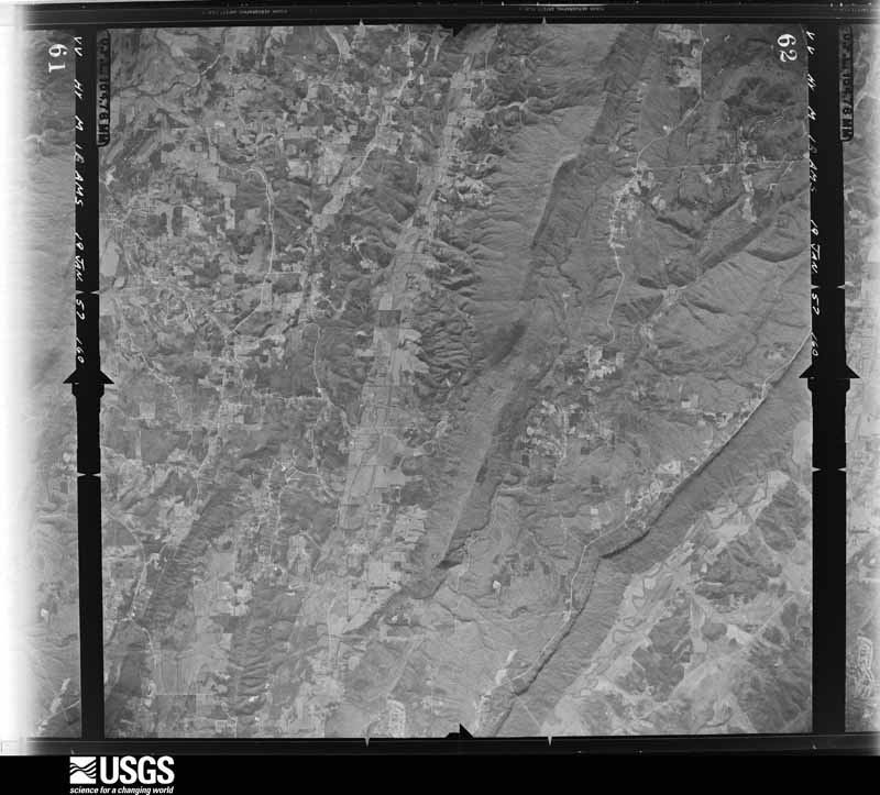
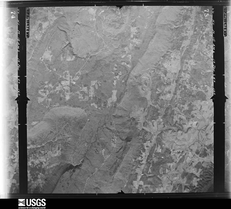
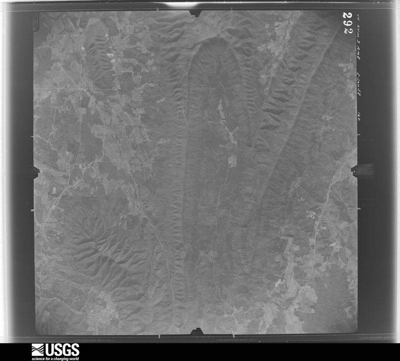
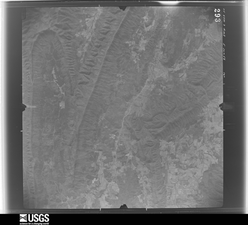
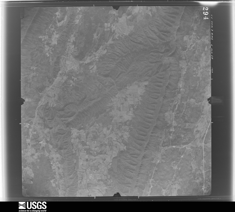
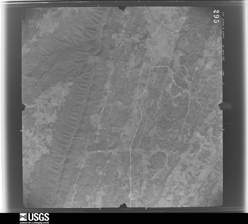
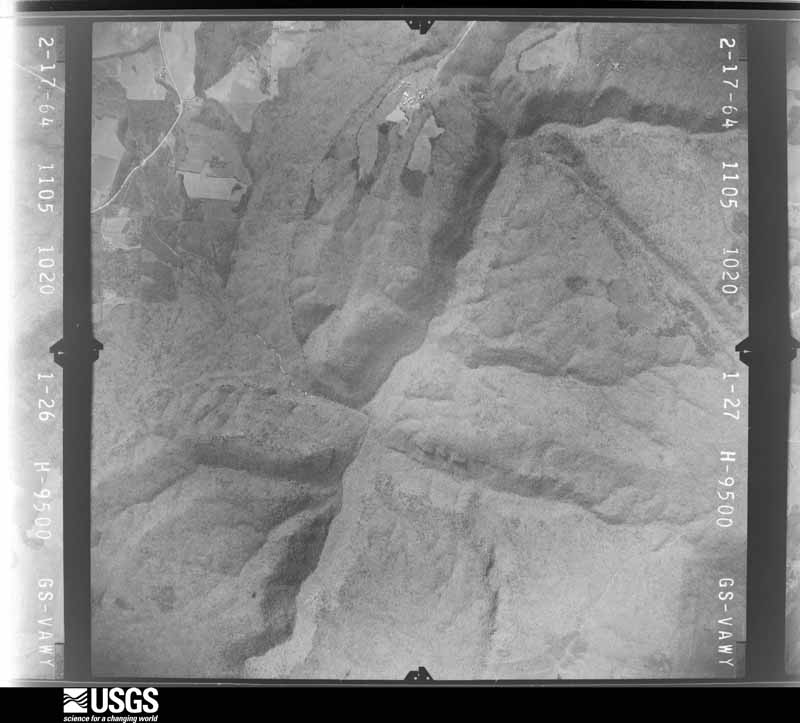
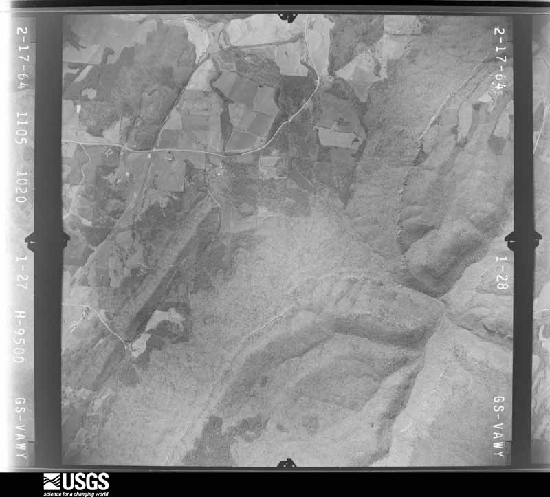
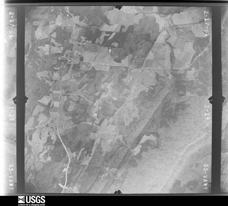
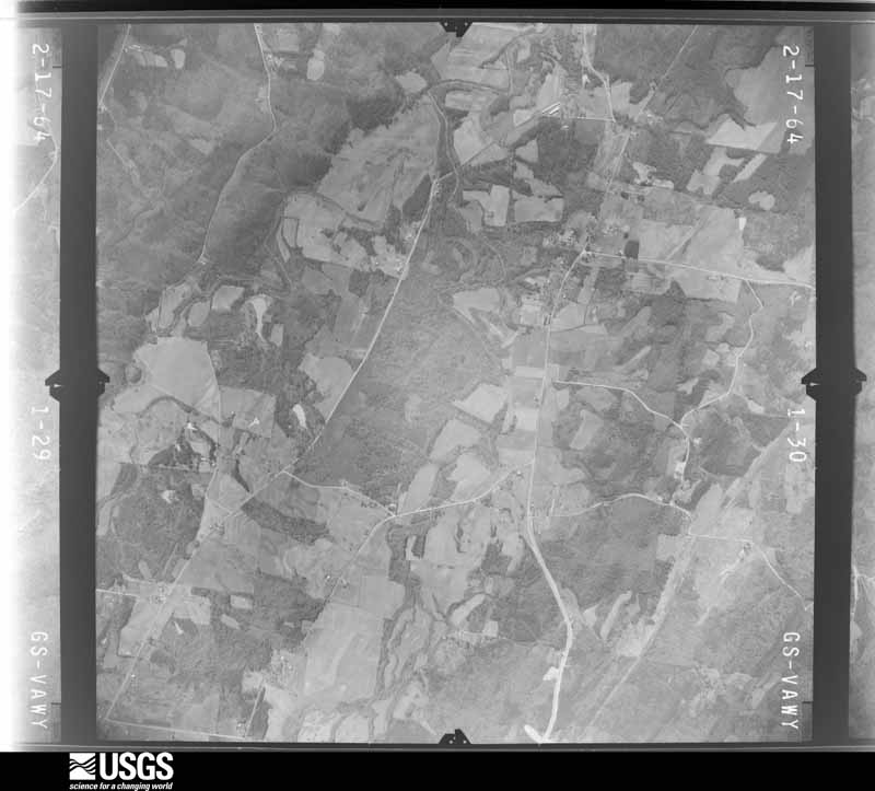
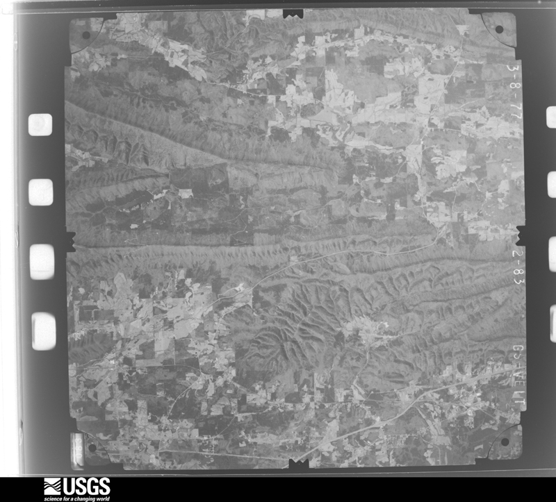
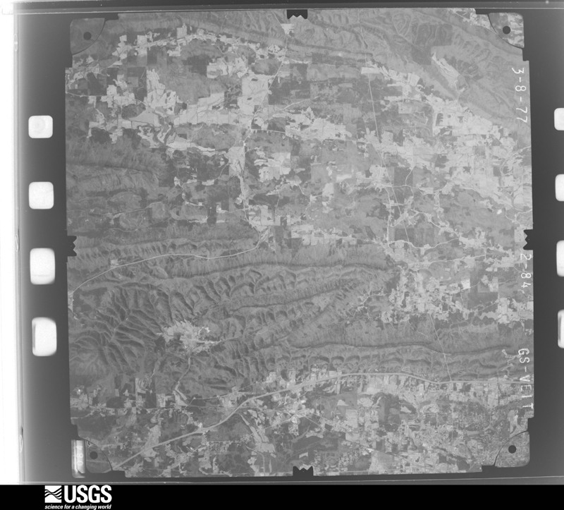
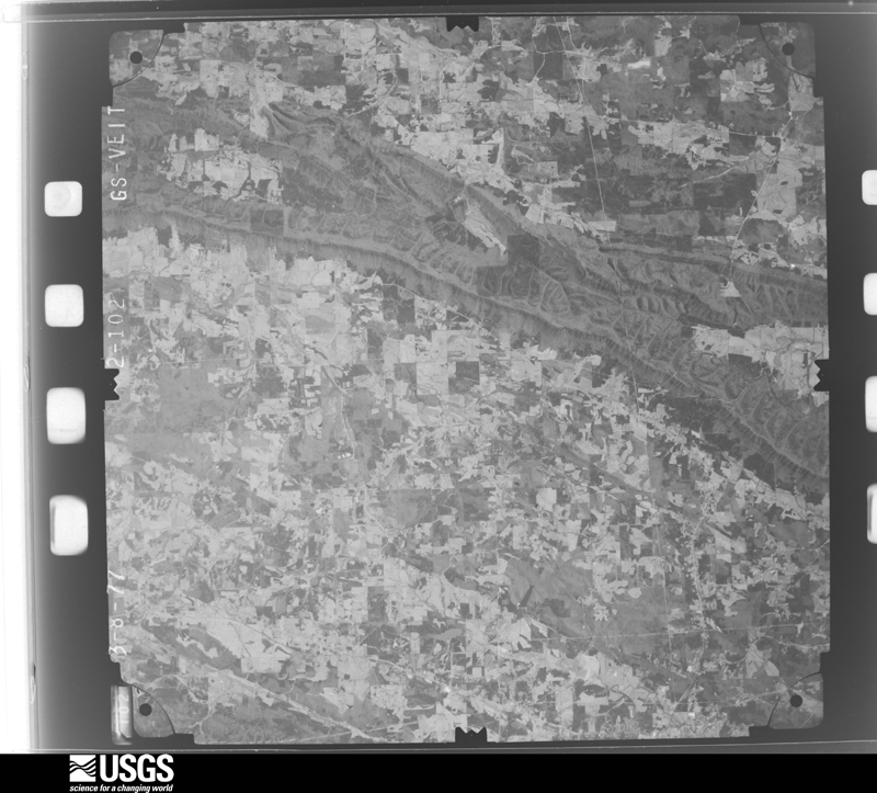
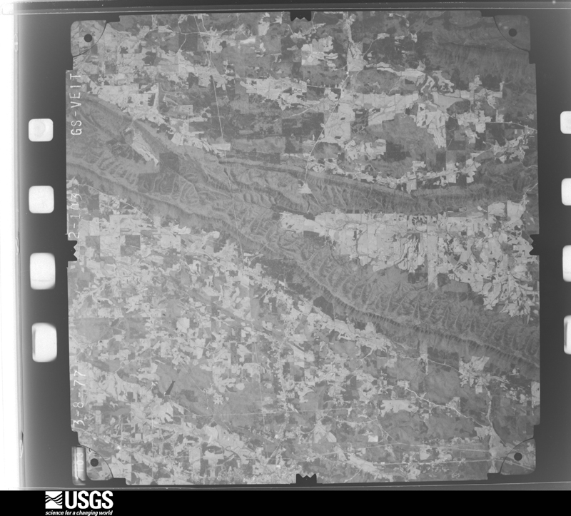
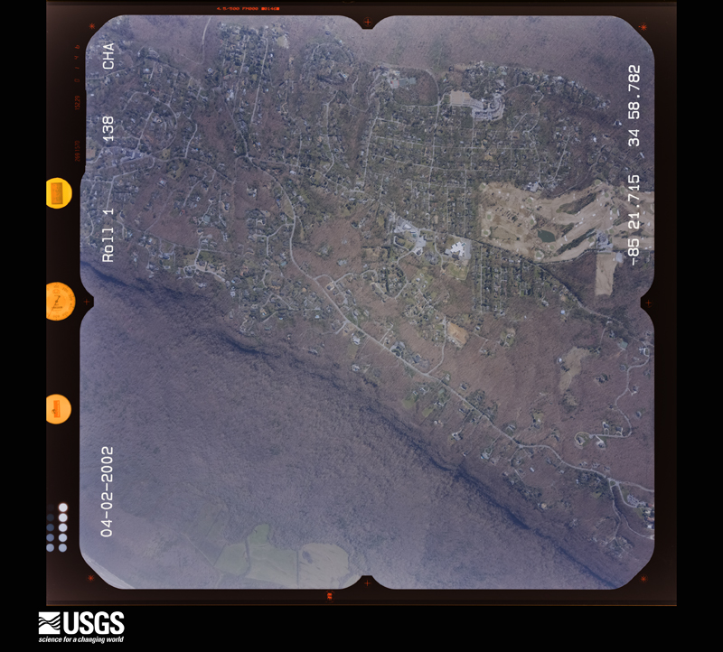
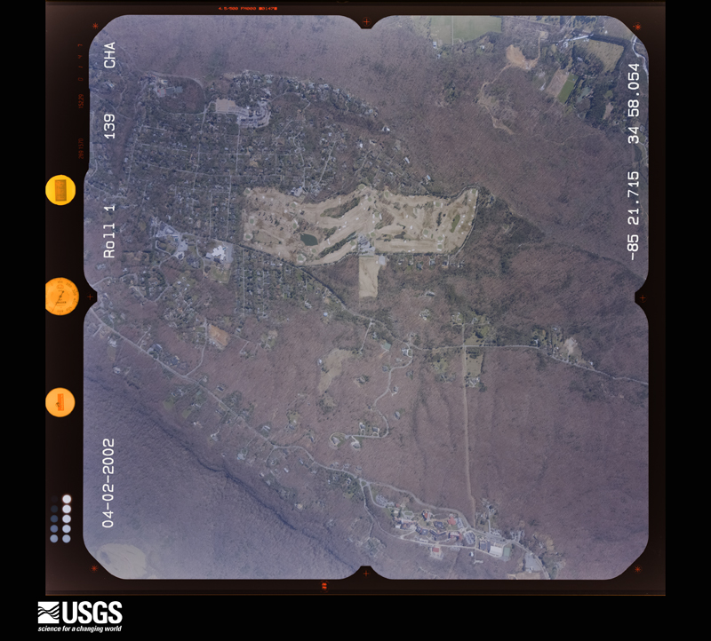
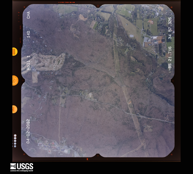
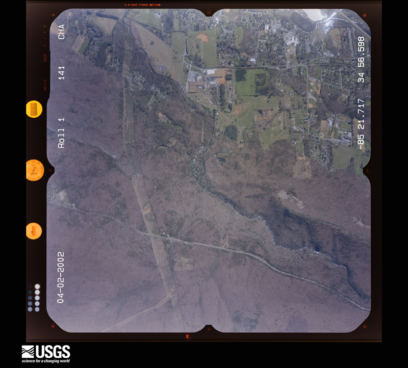
Flown by the U.S. Geological Survey between 1937 and 1989, the Aerial Photo Single Frames collection is the definitive mid-century view of the land: fields, roads and rivers as the camera saw them. The Survey holds 543 frames inside the rectangle that bounds this county; the 30 frames below were taken over the county itself, chosen across the decades of flights (at most four a year from that rectangle), so one flight cannot crowd out the rest. The full set is free to browse and download at EarthExplorer under the dataset Aerial Photo Single Frames.










The thermometers that kept this county's weather, and the gages that measured the flow of its streams, as the federal records hold them. The extremes below are measured values from those records, not estimates.
Who lived here in 1950, one enumeration district at a time, as the Census Bureau described each district. Each row opens its official National Archives result, with Population Schedules and ED Maps available there.
Every wildfire the federal occurrence database records inside this county: 1,715 of them, burning about 7,386 acres. 29 started naturally and 551 were recorded as arson. Each settlement page carries the fires within five miles of it.
| Reported cause | Fires |
|---|---|
| Debris and open burning | 910 |
| Arson/incendiarism | 551 |
| Equipment and vehicle use | 59 |
| Recreation and ceremony | 56 |
| Missing data/not specified/undetermined | 56 |
| Natural | 29 |
| Misuse of fire by a minor | 24 |
| Smoking | 15 |
| Railroad operations and maintenance | 13 |
| Power generation/transmission/distribution | 2 |
The five largest, by the area the report gives. Four of them were set deliberately.
| Date | Cause | Size | Reported by | Name on the report |
|---|---|---|---|---|
| 5 October 2016 | Missing data/not specified/undetermined | 477 acres | Chattahoochee-Oconee National Forest | STRAWBERRY MOUNTAIN FIRE |
| 31 October 2010 | Recreation and ceremony | 148 acres | Georgia Forestry Commission | FY2011-WALKER-034 |
| 11 March 2006 | Arson/incendiarism | 143 acres | Georgia Forestry Commission | not named |
| 5 February 2000 | Arson/incendiarism | 135 acres | Georgia Forestry Commission | FY2000-WALKER-083 |
| 16 September 1999 | Arson/incendiarism | 114 acres | Georgia Forestry Commission | not named |
| 5 April 2006 | Arson/incendiarism | 104 acres | Georgia Forestry Commission | not named |
| 26 March 2008 | Debris and open burning | 89 acres | Georgia Forestry Commission | not named |
| 30 May 2016 | Recreation and ceremony | 88 acres | Georgia Forestry Commission | FY2016-WALKER-021 |
Every settlement page carries the fires within five miles of it - see the settlement index below.
The NOAA Storm Events Database holds 276 reports for this county, causing 1 death, 32 injuries and about $20,457,500 in recorded property damage. Each settlement page carries the reports that name it.
| Kind of event | Reports |
|---|---|
| Thunderstorm Wind | 166 |
| Hail | 74 |
| Flash Flood | 15 |
| Tornado | 10 |
| Lightning | 5 |
| Flood | 4 |
| Funnel Cloud | 1 |
| Heavy Rain | 1 |
The most serious of them, by death, then injury, then recorded damage. The accounts are quoted exactly as the forecast office filed them.
| When | Event | Place named | Harm | What the report says |
|---|---|---|---|---|
| May 1997 | Tornado (F1) | Chickamauga | 1 killed, 3 hurt, $100,000 | The tornado touched down just southwest of Chickamauga in the Ridgecrest Acre mobile home park. Touchdown was noted to be at the intersection of Georgia Highway 136 and 193. Three mobile homes were completely destroyed, and a total of 28 homes/ mobile homes had damage varying from moderate to being totally destroyed. Homes were moved off their foundations and numerous trees were either snapped or uprooted. |
| April 2011 | Tornado (EF2) | Hinkles | 25 hurt, $5,000,000 | This tornado is a continuation of the EF3 tornado that originated in DeKalb county, Alabama, tracked across central Dade county, Georgia, and then across northern Walker county, Georgia before lifting just before reaching the Tennessee line. The tornado weakened to an EF2 strength before entering Walker county, and continued as an EF2 to EF1 across much of its path within Walker county. The tornado crossed into Walker county approximately five miles west-southwest of Chattanooga Valley and lifted just west of Fort Oglethorpe near the intersection of U.S. Highway 27 and Georgia Highway 2. Thousands of trees and dozens of power lines were taken down by the tornado. Dozens of homes suffered severe damage, especially across the northern part of the county. Seven homes were completely destroyed. The most severe damage was noted in the Flintstone area. While no fatalities occurred within Walker county, there were 25 injuries, mostly at the severely damaged or destroyed homes. The most severe damage with this tornado occurred in Dade county.||Damage in Walker county consists of seven destroyed homes, 26 with major damage, and 35 with minor damage.||[04/27-04/28/11: Tornado #2, County #2-2, EF2, Dade-Walker, 2011:011]. |
| April 1998 | Tornado (F1) | Flintstone | 2 hurt, $100,000 | Police and fire officials reported a tornado. It apparently touched down briefly destroying 3 trailers, 2 barns and a car. The roof was torn off of a house. Trees and power lines were downed. The intensity, width and length were estimated. |
| May 1983 | Tornado (F1) | not stated | 1 hurt, $250,000 | no account filed |
| July 1997 | Thunderstorm Wind | La Fayette | 1 hurt, $40,000 | Thunderstorm winds knocked down several trees and power lines across the northern portion of Walker county. One tree fell onto the electrical wiring running to a trailer, which ignited a fire. The sole occupant, a 74 year old woman was injured. More than 30,000 people were without power. 50 homes and 100 cars were also damaged. |
| September 2009 | Flood | Missionary Ridge | $5,850,000 | Emergency Management personnel from Walker county reported that extensive flooding continued across the county and had expanded into southern portions as well. Significant flooding was ongoing in the Rossville, Fort Oglethorpe, and LaFayette areas. At least 20 roads were closed because of flooding. Dozens of homes were flooded and suffered significant damage. Additional monetary damage in the county from flooding during this time frame were estimated to be near $6 million. |
| February 1956 | Tornado (F2) | not stated | $2,500,000 | no account filed |
| September 2009 | Flash Flood | Dickey | $1,170,000 | Walker county emergency management personnel reported that significant flooding impacted parts of Walker county for the second time within a 12-hour period as repeated rounds of thunderstorms and heavy rain tracked across the area from southwest to northeast. Many roads, homes, and apartments were flooded and sustained significant damage during this time frame. The worst flooding occurred in the Chickamauga and Rossville area and from LaFayette to Mt. Carmel. Many roads were closed and impassable. Schools in much of the county were closed for at least two days. Monetary damage to roads, homes, and apartments during this time frame was estimated to be in excess of $1 million. |
| September 2009 | Flood | Missionary Ridge | $1,170,000 | Walker county emergency management personnel and USGS stream gages confirmed that major to record flooding continued across much of the county. Many homes, apartments, businesses, and roads sustained damage from flooding. Several roads were closed. Monetary damage from flooding continued to mount, with damages exceeding $1 million during this time frame, nearly all of which occurred prior to 845 am EDT on the 22nd. Flood waters began to recede after 845 am EDT on the 22nd, but many locations remained flooded through 845 am EDT on the 23rd. |
| September 2009 | Flood | Missionary Ridge | $540,000 | Walker county emergency management personnel reported that several roads were under water across the county as a result of flooded creeks and streams. The most significant flooding was observed in the Forth Oglethorpe and Rossville area, where several homes and businesses remained flooded from earlier flash flooding and continued flooding. Monetary damage during this time period to roads and property was estimated to exceed $500,000. |
| June 2003 | Thunderstorm Wind | Countywide | $500,000 | The Walker County Messenger reported that literally dozens of trees were down on power lines and roads around the county. The Rossville area was probably the hardest hit. Seven homes were severely damaged when large trees fell on the structures, while at least 27 calls were received by the Walker county Fire and Rescue Department to remove trees blocking roads. Several hundred residents of the county were left without power for several hours during the event. |
| October 2014 | Hail | Hawkins | $355,000 | The public reported quarter to golf ball-sized hail in LaFayette. |
| April 2020 | Tornado (EF2) | Oakton | $300,000 | A National Weather Service survey found that the EF1 tornado that originated in Chattooga County moved north-northeast into Walker County where it produced EF2 maximum winds of 125 mph with a maximum path width of 800 yards. The tornado crossed into Walker County along Halls Valley Drive with trees blown down on either side of the road. More significant tree damage began along Ramey Road just before Highway 151 with intense structural damage as the tornado moved northeast along Highway 151 between the intersection with Halls Valley Road and Beard Drive. The entire second story and roof of a home was removed with heavy damage to the exterior walls and a jeep was tossed more than 150 yards from its original location. An additional home had a good portion of its roof torn off on one side. Windows and doors were blown out and numerous large pines were snapped about halfway down. It was in |this area where the tornado was at its strongest, EF2 with maximum wind speeds of 125 mph. The tornado continued northeast along Highway 151 with more snapped and uprooted trees, then quickly weakened, ending near Smith Gap Road. [04/12/20: Tornado #1, County #2/2, EF-2, Walker, 2020:007]. |
| September 2004 | Flash Flood | Countywide | $300,000 | The Walker County Messenger and the Georgia Emergency Management Agency reported extensive and widespread flooding across much of the county. Several homes in Rossville were flooded and several homes in the Rock Creek Community in the north part of the county had to be evacuated because of flood waters. Several propane tanks were observed to be floating in flood waters. All together, 37 roads in the county were flooded and rendered impassable. Several vehicles were abandoned on streets and left submerged in the flood waters. |
| September 2009 | Flash Flood | Missionary Ridge | $270,000 | Walker county emergency management personnel reported flash flooding across the northern half of the county. The first floor of the Battlewood Apartments in Fort Oglethorpe were flooded, resulting in evacuations of several residents. Several roads were flooded and closed as creeks rose several feet out of their banks. Monetary damage in the county was primarily a result of damaged roads, bridges, and culverts. |
| May 2003 | Flash Flood | Countywide | $250,000 | The Walker county 911center reported extensive flooding to a number of roads in the Chickamauga area. Consequently, dozens of roads were rendered impassable and had to be closed. In addition, evacuations of several residences near Chickamauga Creek were necessary as the creek rose well out of its banks cresting at its highest level ever. A rescue was necessary along Georgia Highway 136 east of Cooper Heights. |
| April 2009 | Hail | High Pt | $200,000 | Several reports of half-dollar to golf ball-sized hail were received from the public in the northern part of Walker county near Chickamauga. Penny-sized hail was reported from the southern part of the county near LaFayette. Radar data supports that hail of similar size likely fell in a large swath from northwest to southeast across the county from High Point to Villanow. |
| April 2006 | Hail | Rossville | $200,000 | A former National Weather Service employee measured quarter-sized hail while the public reported golf ball-sized hail. |
| June 2018 | Lightning | Cedar Grove | $150,000 | The local broadcast media reported a house struck by lightning along Hog Jowl Road. The lighting strike caused a fire that destroyed the home. |
| May 2003 | Hail | La Fayette | $125,000 | The La Fayette Post Office reported golf ball-sized hail, which caused damage to a number of cars in the parking lot and in the area. |
| October 2010 | Thunderstorm Wind | Center Post | $100,000 | The Walker County Emergency Management Director reported widespread downed trees and power lines throughout the county, but primarily the southern half, including LaFayette. Nearly two dozen roads, including portions of Georgia Highways 341 and 136, were blocked from downed trees. Consequently, several school districts had to delay their start time at least two hours. An outbuilding at a private residence, where a number of antiques were stored, was destroyed when a large tree fell on the structure. In addition, shingles were blown off roofs of homes on Shook Road and Old Bethel Roads. |
| May 2002 | Thunderstorm Wind | La Fayette | $100,000 | The Walker County Messenger reported that at least 30 large trees were sheared, blown over, or uprooted by strong thunderstorm winds. Two homes sustained significant damage as large trees fell on them. |
| April 2020 | Thunderstorm Wind | Fairview | $50,000 | Several trees came down and caused damage to multiple parked vehicles in Fairview. |
| July 1997 | Lightning | Chickamauga | $50,000 | Lightning caused a barn on Glass Mill Road in Chickamauga to burn to the ground, destroying a tractor and a pickup truck parked inside. A large outbuilding on Stanfield Road in LaFayette was also struck by lightning and caught fire, causing $3,000 in damage at that location. Times are estimated. |
| June 2010 | Thunderstorm Wind | Cooper Hgts | $35,000 | The Walker County 911 Center reported that more than a dozen trees were down across the northern half of the county from near Cooper Heights to Rossville. One of the trees fell on a home on Mountain View Circle causing damage to the structure. Trees were down on Georgia Highway 341, Garretts Chapel Road, Crittenden Avenue, Camp Road, Pine Hurst Circle, Ireland Lane, Clebourne Avenue, Crescent Avenue, Simonton Drive, Trion Highway, and High Street. |
| July 2000 | Thunderstorm Wind | Countywide | $35,000 | The Walker County Messenger, the Rome News Tribune, and ham radio operators reported trees and power lines down countywide. Numerous roads were blocked by fallen trees and limbs. In addition, a vehicle was damaged on Steele Street in Lafayette when a large tree limb fell on it. A billboard was blown down on U.S. Highway 27 in Noble, and a number of other smaller signs were also blown down. |
| September 2000 | Lightning | La Fayette | $30,000 | The Walker county 911 center reported that lightning set a house on fire. The extent of the damage was unknown. |
| April 2020 | Flash Flood | Catlett | $25,000 | Spotter reported that both lanes of Lake Howard Road were washed out near Arnold Lane in LaFayette. Radar estimates indicate that 5 to 8 inches of rain occurred over the area, resulting in flash flooding. |
| June 2018 | Thunderstorm Wind | Beverly Hills | $25,000 | The broadcast media reported two trees blown down onto a house on Chambers Street in Rossville. No injuries were reported. |
| April 2011 | Thunderstorm Wind | Center Post | $25,000 | The Walker County 911 Center reported that several trees were down in the south central and southeast part of the county, especially around Suttles Mill. The public reported that up to 50 treeswere down in the Flintstone area of northwest Walker county. Another large tree was also down in the Beverly Hills subdivision in Rossville in the northeast part of the county destroying a large three-wall tin shed. |
| June 2011 | Thunderstorm Wind | Cooper Hgts | $25,000 | The public reported that more than a dozen trees were down across the northern part of the county, especially just north of Chickamauga in northeast Walker county. One tree was down on a car. |
| May 2003 | Thunderstorm Wind | La Fayette | $25,000 | The Walker county 911 center and the Walker county Sheriff reported that a number of trees were blown down in the city. Some of the trees fell on homes causing structural damage. There were several sightings of funnel clouds in the area as observed by the Sheriff, the La Fayette police department, and from reports given to the county 911 center. |
| June 2015 | Thunderstorm Wind | Hinkles | $15,000 | The Walker County 911 center reported numerous trees down from around Hinkle Community road and highway 157 to Rossville. One tree fell on a house in the Lookout Mountain area. |
| April 2011 | Thunderstorm Wind | Lookout Mtn | $15,000 | Amateur radio operators and the public reported that several trees and some power lines were blown down across the northern part of Walker county, north of the EF3 tornado that tracked more across central Walker county. Several trees were down near Lookout Mountain and Rossville. In addition, a small outbuilding near Rossville was blown away and all of its contents were scattered about. |
| April 2009 | Thunderstorm Wind | High Pt | $15,000 | The Walker County 911 Center reported that at least two dozen trees were down across the county. The majority of the damage appeared to be in the Chickamauga area. Several power lines were down across the county as well. No structural damage was reported. |
| July 2008 | Thunderstorm Wind | La Fayette | $15,000 | The Walker County 911 Center reported that a tree was blown over onto a home resulting in some structural damage. |
| March 1996 | Thunderstorm Wind | High Point | $15,000 | no account filed |
| August 2018 | Thunderstorm Wind | Cooper Hgts | $12,000 | Reports from trained spotters showed a few trees blown down from the area around Kensington Road and Highway 136 to Lafayette along S. Chattanooga Street. One tree struck a house causing minor damage on Kensington Road. No injuries were reported. |
| July 2018 | Thunderstorm Wind | Kendrick | $12,000 | The broadcast media reported trees blown down onto a house off of Highway 157. No injuries were reported. |
| May 2025 | Thunderstorm Wind | Cedar Grove | $10,000 | Public report of over ten large trees uprooted or snapped, with all of them having fallen facing to the east. |
| May 2025 | Thunderstorm Wind | Cedar Grove | $10,000 | Over ten large trees uprooted or snapped, all falling in an easterly direction near W Cove Rd. |
| June 2023 | Thunderstorm Wind | Cenchat | $10,000 | Report via social media of multiple large trees down along Mission Ridge Rd in Rossville. Tree diameter is roughly 2 ft. |
| April 2018 | Thunderstorm Wind | Eagle Cliff | $10,000 | The Walker County 911 center reported multiple trees and power lines blown down from the Chattanooga Valley area to Lafayette. A half dozen trees were downed around the intersection of Chattanooga Valley Road and East Avenue. |
| June 2018 | Tornado (EF0) | Lake Howard | $10,000 | The National Weather Service in conjunction with the Walker County Emergency Manager, and with the aid of video provided by the public, determined that a brief EF0 tornado with maximum wind speeds of 80 mph and a maximum path width of 150 yards, travelled 1.3 miles across a portion of eastern Walker County, north of the city of Lafayette. The tornado touched down near the intersection of Wheeler Road and Warren Road, just east of Highway 27, snapping a few trees. The tornado traveled southeast toward Lake Howard Road, producing several areas of damage between Ringgold Road and Lucas Lane, including two small barns that sustained significant damage and several larger trees either uprooted or snapped. A section of roof shingles was pulled up from a two-story home. No injuries were reported. [06/22/18: Tornado #1, County #1/1, EF-0, Walker, 2018:009]. |
| June 2015 | Thunderstorm Wind | Hawkins | $10,000 | The Walker County 911 Center reported trees blown down from LaFayette to Rock Spring. |
| April 2015 | Thunderstorm Wind | Beverly Hills | $10,000 | The Walker County Emergency Manager reported a few trees down in the Rossville area. One tree fell on a house and another on a car. |
| May 2013 | Flash Flood | High Pt | $10,000 | The public reported several small creeks came out of their banks and briefly flooded portions of nearby roads in the Cooper Heights area. |
| August 2012 | Thunderstorm Wind | Bronco | $10,000 | The NSSL SHAVE Project relayed a report of several snapped trees in the southern part of Walker County. One pecan tree was snapped at the base and landed on the roof of a barn. |
| April 2011 | Thunderstorm Wind | Lookout Mtn | $10,000 | The Walker County 911 Center reported widespread tree damage in the Lookout Mountain area in the far northwest part of the county. |
| July 2008 | Thunderstorm Wind | Cooper Hgts | $10,000 | The Walker County 911 Center reported that a roof was blown off a barn along Georgia Highway 136 northwest of LaFayette and landed in the middle of the highway. Numerous trees were also down in the same general area. |
| April 2006 | Lightning | La Fayette | $10,000 | The Walker County 911 Center reported that two buildings were struck by lightning. Damages were inconclusive. |
| August 2003 | Flash Flood | Naomi | $10,000 | The public reported that a convenience store at the intersection of Georgia Highways 136 and 151 suffered considerable damage as flood waters rose several inches deep inside the building. The flooding was the result of a small, yet very slow moving thunderstorm with torrential rainfall of up to three inches per hour. |
| May 2003 | Thunderstorm Wind | Countywide | $10,000 | The Walker county 911 center reported that a number of trees were down across the county, especially in the LaFayette area. |
| August 2000 | Thunderstorm Wind | La Fayette | $10,000 | The Walker county 911 center reported numerous trees and power lines down. |
| August 2000 | Thunderstorm Wind | Rossville | $10,000 | The Walker county 911 center reported several trees and some power lines down. Most of the damage was concentrated in the Chickamauga area and just east of Chickamauga near the Catoosa county line along U.S. Highway 27. |
| May 2017 | Thunderstorm Wind | Catlett | $8,000 | The Walker County Emergency Manager reported multiple trees blown down along Highway 151 between Highway 136 and the Catoosa County line. |
| July 2015 | Thunderstorm Wind | Hedges | $8,000 | The Walker County 911 Center reported numerous trees blown down across the county. |
| April 2019 | Thunderstorm Wind | Hawkins | $7,000 | The Walker County 911 center reported trees and power lines blown down along Brookwood Lane in Lafayette. |
| May 2001 | Thunderstorm Wind | Kensington | $7,000 | An amateur radio operator reported that a tin roof was blown off a barn and several trees were uprooted. |
| January 2020 | Thunderstorm Wind | Hedges | $6,000 | An amateur radio operator reported multiple trees blown down at Hog Jowl Road and Cove Road. |
The Survey's mineral resources record lists 40 workings inside this county. 3 still produce and 37 are closed or unrecorded. Each settlement page carries the workings within five miles of it.
| Commodity | Workings |
|---|---|
| Iron | 30 |
| Stone, Crushed/Broken | 7 |
| Manganese | 2 |
| Aluminum | 2 |
| Clay | 1 |
The least common of them first, because a county's hundredth gravel pit says nothing its first ten did not.
| Where | Site | Commodity | Status | Recorded |
|---|---|---|---|---|
| General Shale Georgia Pit | Clay | Producer | ||
| Armington Mine | Aluminum | Past Producer | ||
| Hawkins Mine | Aluminum, Iron | Past Producer | ||
| Pace Prospect | Iron, Manganese | Prospect | ||
| Wilmer Frye Prospect | Iron, Manganese | Prospect | ||
| Boss Tripoli Mine | Stone, Crushed/Broken | Past Producer | ||
| Dave L Brown Quarry | Stone, Crushed/Broken | Past Producer | ||
| Horine Development Co Quarry | Stone, Crushed/Broken | Past Producer | ||
| Patton Quarry | Stone, Crushed/Broken | Producer | ||
| Road Quarry | Stone, Crushed/Broken | Past Producer | ||
| Road Quarry | Stone, Crushed/Broken | Past Producer | ||
| Rossville Quarry | Stone, Crushed/Broken | Producer | ||
| Cassandra Area | Iron | Past Producer | Strataform, Concordant | |
| Childers Mine | Iron | Past Producer | ||
| Estelle Mining Comp | Iron | Past Producer | ||
| Glenn Prospect | Iron | Prospect | ||
| Hall Ore Bank Area | Iron | Past Producer | Strataform, Concordant | |
| High Point Area | Iron | Past Producer | Strataform, Concordant | |
| J.T. Algoods Property | Iron | Past Producer | ||
| Kensington Iron and Coal Co. Mine | Iron | Past Producer | ||
| Kensington Iron and Coal Co. Mine | Iron | Past Producer | ||
| Kensington Iron and Coal Co. Mine | Iron | Past Producer | ||
| Kensington Iron and Coal Co. Mine | Iron | Past Producer | ||
| Kensington Iron and Coal Co. Mine | Iron | Past Producer | ||
| Kensington Iron and Coal Co. Mine | Iron | Past Producer | ||
| Kensington Iron and Coal Co. Mine | Iron | Past Producer | ||
| McLamore's Cove Area-A | Iron | Past Producer | Strataform, Concordant | |
| McLamore's Cove Area-B | Iron | Past Producer | Strataform, Concordant | |
| Mcfarland Mine | Iron | Past Producer | Strataform, Concordant | |
| Naomi Area | Iron | Past Producer | Stratabound Concordant | |
| Shinbone Ridge Area-C | Iron | Past Producer | Strataform, Concordant | |
| Shinbone Ridge-A | Iron | Past Producer | Strataform, Concordant | |
| Shinbone Ridge-B | Iron | Past Producer | Strataform, Concordant | |
| Southern Steel Comp | Iron | Past Producer | ||
| Southern Steel Comp | Iron | Past Producer | ||
| Stoner-Caldwell Property | Iron | Past Producer | ||
| Sugar Valley Land Co Mine | Iron | Past Producer | ||
| Warrenfel's Mine | Iron | Past Producer | Strataform, Concordant | |
| Warthen Prospect | Iron | Prospect | ||
| High Point Area | Past Producer |
Named settlements recorded in the Geographic Names Information System, each with the topographic sheets covering it. Villages, hamlets and abandoned places alike. Each is shown with the nearest named watercourse or landform and the survey quadrangle it falls on. The 3 places that were also surveyed for fire insurance come first, with the number of atlases and photographs held for them.
Chickamauga census division · 30707 · On Coke Oven Branch · Kensington quadrangle
26 sheets, 1886 to 1983
Fire insurance: 2 atlases
Rossville-Beverly Hills census division · 30741 · On Dry Creek · Fort Oglethorpe quadrangle
28 sheets, 1886 to 1982
Fire insurance: 4 atlases
Lookout Mountain census division · 30738 · Near Round Top · Durham quadrangle
25 sheets, 1886 to 1983
Rossville-Beverly Hills census division · 30741 · Near Missionary Ridge · Fort Oglethorpe quadrangle
28 sheets, 1886 to 1982
LaFayette census division · 30728 · On Rocky Branch · LaFayette quadrangle
25 sheets, 1886 to 1983
Chattanooga Valley census division · 30725 · Near Hawkins Ridge · Fort Oglethorpe quadrangle
28 sheets, 1886 to 1982
LaFayette census division · 30728 · Near Burnt Mill Valley · LaFayette quadrangle
25 sheets, 1886 to 1983
Rossville-Beverly Hills census division · 30741 · Near Missionary Ridge · Fort Oglethorpe quadrangle
28 sheets, 1886 to 1982
Kensington census division · 30707 · On Broom Branch · Durham quadrangle
25 sheets, 1886 to 1983
Kensington census division · 30707 · On Trickum Branch · Cedar Grove quadrangle
25 sheets, 1886 to 1982
Chattanooga Valley census division · 30725 · On Powder Mill Branch · Fort Oglethorpe quadrangle
28 sheets, 1886 to 1982
Rock Spring census division · 30739 · On Rock Spring Creek · Nickajack Gap quadrangle
25 sheets, 1886 to 1983
LaFayette census division · 30728 · On Duck Creek · Trion quadrangle
19 sheets, 1886 to 1981
Chattanooga Valley census division · 30725 · Near Tannery Gulf · Fort Oglethorpe quadrangle
28 sheets, 1886 to 1982
LaFayette census division · 30728 · Catlett quadrangle
24 sheets, 1886 to 1982
No longer a settlement
Chickamauga census division · 30707 · On Back Valley Creek · Durham quadrangle
25 sheets, 1886 to 1983
Kensington census division · 30707 · On Shaw Branch · Kensington quadrangle
26 sheets, 1886 to 1983
Rossville-Beverly Hills census division · 30741 · Near Snodgrass Hill · Fort Oglethorpe quadrangle
28 sheets, 1886 to 1982
Chattanooga Valley census division · 30725 · Near Hawkins Ridge · Fort Oglethorpe quadrangle
28 sheets, 1886 to 1982
No longer a settlement
Lookout Mountain census division · 30738 · Durham quadrangle
25 sheets, 1886 to 1983
No longer a settlement
LaFayette census division · 30728 · On Stanfield Branch · LaFayette quadrangle
25 sheets, 1886 to 1983
Lookout Mountain census division · 30738 · On Fuggett Branch · Durham quadrangle
25 sheets, 1886 to 1983
Chattanooga Valley census division · 30725 · Near Tannery Gulf · Fort Oglethorpe quadrangle
28 sheets, 1886 to 1982
Kensington census division · 30707 · Near Owl Hollow · LaFayette quadrangle
25 sheets, 1886 to 1983
Kensington census division · 30707 · Near Devils Cove · Kensington quadrangle
26 sheets, 1886 to 1983
No longer a settlement
Rossville-Beverly Hills census division · 30741 · Near Missionary Ridge · Fort Oglethorpe quadrangle
28 sheets, 1886 to 1982
LaFayette census division · 30728 · On Arnold Branch · LaFayette quadrangle
25 sheets, 1886 to 1983
Chattanooga Valley census division · 30725 · Near Dynamite Hollow · Fort Oglethorpe quadrangle
28 sheets, 1886 to 1982
Chattanooga Valley census division · 30725 · Near Tannery Gulf · Fort Oglethorpe quadrangle
28 sheets, 1886 to 1982
Rock Spring census division · 30739 · Near Long Hollow · Nickajack Gap quadrangle
25 sheets, 1886 to 1983
No longer a settlement
Kensington census division · 30707 · On Back Valley Creek · Durham quadrangle
25 sheets, 1886 to 1983
No longer a settlement
Villanow census division · 30728 · On Furnace Creek · Villanow quadrangle
25 sheets, 1886 to 1983
No longer a settlement
Rossville-Beverly Hills census division · 30741 · Near Missionary Ridge · Fort Oglethorpe quadrangle
28 sheets, 1886 to 1982
Chattanooga Valley census division · 30725 · On Long Branch · Fort Oglethorpe quadrangle
28 sheets, 1886 to 1982
No longer a settlement
Chattanooga Valley census division · 30741 · On Powder Mill Branch · Fort Oglethorpe quadrangle
28 sheets, 1886 to 1982
Villanow census division · 30747 · Near Thompson Hollow · Catlett quadrangle
24 sheets, 1886 to 1982
No longer a settlement
LaFayette census division · 30728 · On Dry Creek · LaFayette quadrangle
25 sheets, 1886 to 1983
No longer a settlement
Kensington census division · 30707 · On Strickland Branch · Kensington quadrangle
26 sheets, 1886 to 1983
Chattanooga Valley census division · 30741 · Near Dynamite Hollow · Fort Oglethorpe quadrangle
28 sheets, 1886 to 1982
LaFayette census division · 30728 · On Harrisburg Creek · Dougherty Gap quadrangle
24 sheets, 1886 to 1983
LaFayette census division · 30728 · On Harrisburg Creek · Trion quadrangle
19 sheets, 1886 to 1981
Chickamauga census division · 30725 · Near Bird Hollow · Fort Oglethorpe quadrangle
28 sheets, 1886 to 1982
Chickamauga census division · 30707 · Near Round Top · Durham quadrangle
25 sheets, 1886 to 1983
No longer a settlement
Chickamauga census division · 30707 · Near Ironco Hollow · Kensington quadrangle
26 sheets, 1886 to 1983
Lookout Mountain census division · 30750 · On Tucker Branch · Hooker quadrangle
26 sheets, 1886 to 1982
LaFayette census division · 30728 · Near Peavine Ridge · LaFayette quadrangle
25 sheets, 1886 to 1983
Lookout Mountain census division · 30738 · On Tucker Branch · Hooker quadrangle
26 sheets, 1886 to 1982
Rossville-Beverly Hills census division · 30741 · Near Missionary Ridge · Fort Oglethorpe quadrangle
28 sheets, 1886 to 1982
Chickamauga census division · 30707 · On Mill Creek · Kensington quadrangle
26 sheets, 1886 to 1983
No longer a settlement
Kensington census division · 30707 · On Mill Creek · Kensington quadrangle
26 sheets, 1886 to 1983
LaFayette census division · 30728 · On Town Creek · LaFayette quadrangle
25 sheets, 1886 to 1983
Chattanooga Valley census division · 30741 · On Powder Mill Branch · Fort Oglethorpe quadrangle
28 sheets, 1886 to 1982
LaFayette census division · 30728 · On Town Creek · LaFayette quadrangle
25 sheets, 1886 to 1983
Lookout Mountain census division · 30750 · Fort Oglethorpe quadrangle
28 sheets, 1886 to 1982
Rossville-Beverly Hills census division · 30707 · Near Long Hollow · Fort Oglethorpe quadrangle
28 sheets, 1886 to 1982
Kensington census division · 30728 · Near Dickson Gulf · Cedar Grove quadrangle
25 sheets, 1886 to 1982
No longer a settlement
LaFayette census division · 30728 · On Possumtrot Branch · LaFayette quadrangle
25 sheets, 1886 to 1983
LaFayette census division · 30728 · On Dry Creek · Trion quadrangle
19 sheets, 1886 to 1981
Kensington census division · 30738 · Near Kirkis Gulf · Cedar Grove quadrangle
25 sheets, 1886 to 1982
Kensington census division · 30707 · Near Hogjowl Valley · Cedar Grove quadrangle
25 sheets, 1886 to 1982
No longer a settlement
LaFayette census division · 30728 · On Stanfield Branch · LaFayette quadrangle
25 sheets, 1886 to 1983
Chattanooga Valley census division · 30725 · Near Tannery Gulf · Fort Oglethorpe quadrangle
28 sheets, 1886 to 1982
Chattanooga Valley census division · 30741 · Fort Oglethorpe quadrangle
28 sheets, 1886 to 1982
LaFayette census division · 30728 · Near Peavine Ridge · LaFayette quadrangle
25 sheets, 1886 to 1983
Rossville-Beverly Hills census division · 30741 · Near Missionary Ridge · Fort Oglethorpe quadrangle
28 sheets, 1886 to 1982
Rossville-Beverly Hills census division · 30741 · Near Snodgrass Hill · Fort Oglethorpe quadrangle
28 sheets, 1886 to 1982
LaFayette census division · 30728 · On Town Creek · LaFayette quadrangle
25 sheets, 1886 to 1983
Chickamauga census division · 30707 · On Brotherton Creek · Kensington quadrangle
26 sheets, 1886 to 1983
Chickamauga census division · 30707 · Near Chandler Hollow · Fort Oglethorpe quadrangle
28 sheets, 1886 to 1982
Lookout Mountain census division · 30750 · Fort Oglethorpe quadrangle
28 sheets, 1886 to 1982
Rock Spring census division · 30739 · Near Long Hollow · Nickajack Gap quadrangle
25 sheets, 1886 to 1983
Rock Spring census division · 30728 · Kensington quadrangle
26 sheets, 1886 to 1983
No longer a settlement
Chickamauga census division · 30707 · Near Chandler Hollow · Fort Oglethorpe quadrangle
28 sheets, 1886 to 1982
LaFayette census division · 30728 · Near Peavine Ridge · LaFayette quadrangle
25 sheets, 1886 to 1983
Rossville-Beverly Hills census division · 30741 · Near Missionary Ridge · Fort Oglethorpe quadrangle
28 sheets, 1886 to 1982
Chattanooga Valley census division · 30741 · Near Hawkins Ridge · Fort Oglethorpe quadrangle
28 sheets, 1886 to 1982
Villanow census division · 30747 · On Greenbush Branch · Subligna quadrangle
24 sheets, 1886 to 1982
Lookout Mountain census division · 30738 · On Fuggett Branch · Durham quadrangle
25 sheets, 1886 to 1983
LaFayette census division · 30728 · Near Owl Hollow · LaFayette quadrangle
25 sheets, 1886 to 1983
Chattanooga Valley census division · 30725 · By Eagle Cliff · Fort Oglethorpe quadrangle
28 sheets, 1886 to 1982
Villanow census division · 30728 · On Puryear Branch · Villanow quadrangle
25 sheets, 1886 to 1983
Chickamauga census division · 30741 · Fort Oglethorpe quadrangle
28 sheets, 1886 to 1982
LaFayette census division · 30728 · On Dry Creek · LaFayette quadrangle
25 sheets, 1886 to 1983
Rossville-Beverly Hills census division · 30741 · Near Snodgrass Hill · Fort Oglethorpe quadrangle
28 sheets, 1886 to 1982
LaFayette census division · 30728 · On Arnold Branch · Kensington quadrangle
26 sheets, 1886 to 1983
No longer a settlement
Rossville-Beverly Hills census division · 30741 · Near Missionary Ridge · Fort Oglethorpe quadrangle
28 sheets, 1886 to 1982
LaFayette census division · 30728 · On Stanfield Branch · LaFayette quadrangle
25 sheets, 1886 to 1983
Chattanooga Valley census division · 30741 · On Dry Creek · Fort Oglethorpe quadrangle
28 sheets, 1886 to 1982
The vanished settlements of Walker County: the places named above that are no longer on the map.
28 topographic sheets and 4 fire insurance atlases, 1917 to 1948
26 topographic sheets and 2 fire insurance atlases, 1929
0 topographic sheets and 2 fire insurance atlases, 1928 to 1948
The complete index, with nothing left out. Each of these is a separate record with its own page: a federal survey report, or the case file that argued a property on to the National Register. Both are public domain and reproduced word for word.
The vanished settlements of Walker County, the places these records name that are no longer on the map.