 Block
From the record
25 National Register listings published here.
Sources: the National Register database, National Park Service
42 topographic sheets and 14 fire insurance atlases across 3 places.
25 National Register listings published here.
Sources: the National Register database, National Park Service
Taken for the Office of War Information and the Farm Security Administration, who photographed the country between 1935 and 1944. Works of United States government photographers, with no known restriction on use. Each opens its catalogue record.
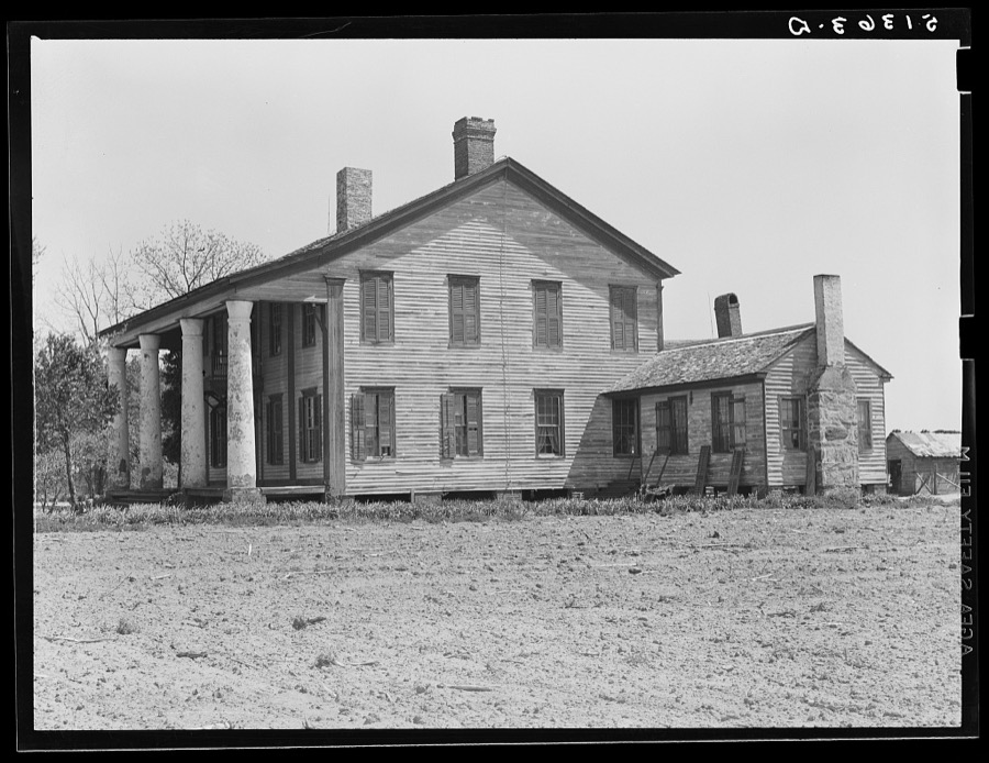
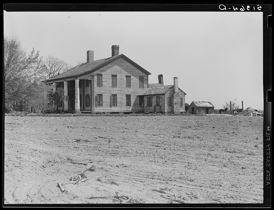
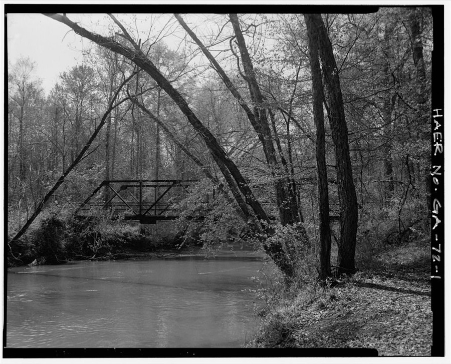
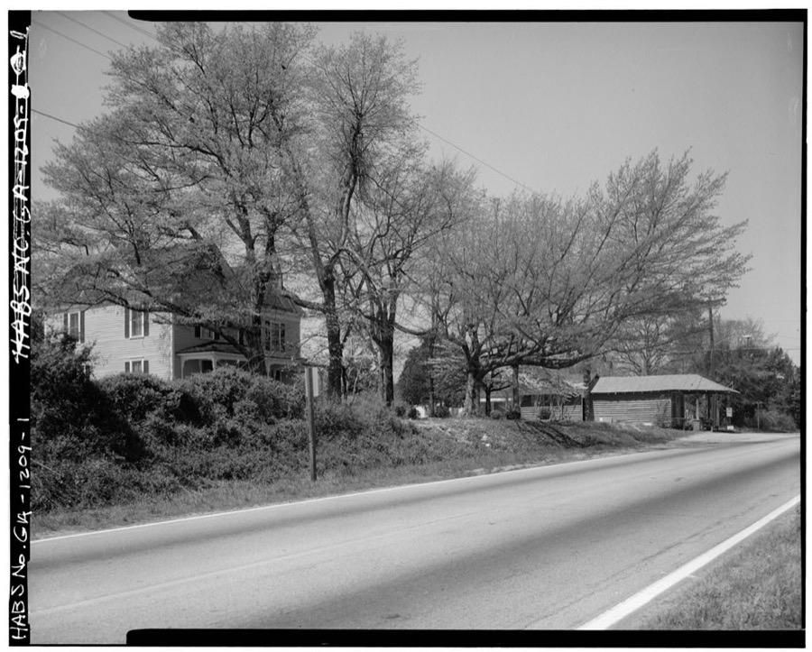
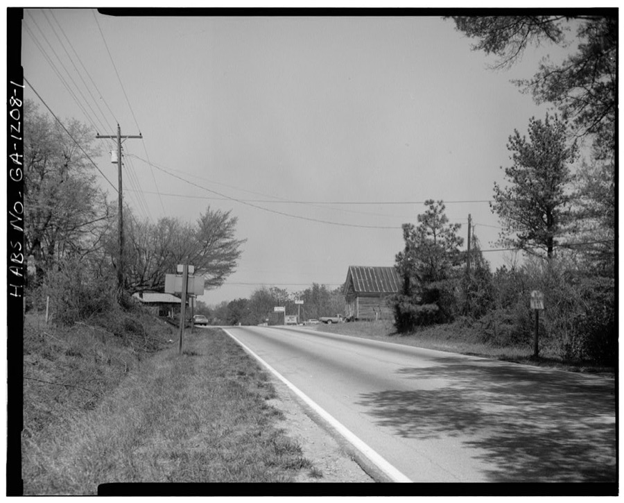
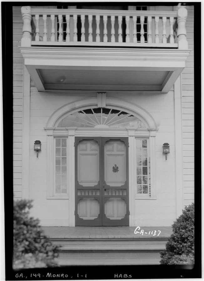
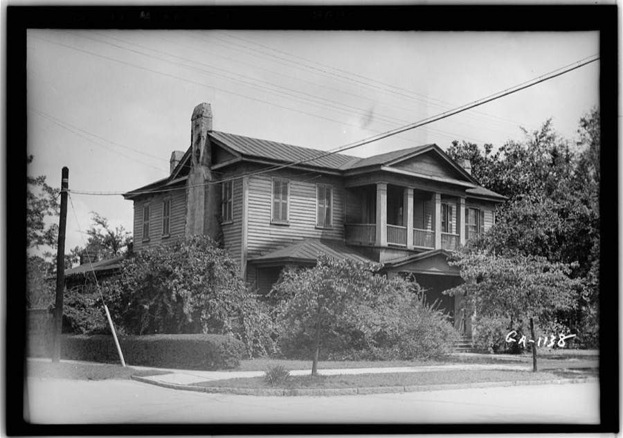
Every property in this county listed on the National Register of Historic Places, with the year it was listed and the federal nomination document.
Flown by the U.S. Geological Survey between 1937 and 1989, the Aerial Photo Single Frames collection is the definitive mid-century view of the land: fields, roads and rivers as the camera saw them. The Survey holds 774 frames inside the rectangle that bounds this county; the 26 frames below were taken over the county itself, chosen across the decades of flights (at most four a year from that rectangle), so one flight cannot crowd out the rest. The full set is free to browse and download at EarthExplorer under the dataset Aerial Photo Single Frames.


























The thermometers that kept this county's weather, and the gages that measured the flow of its streams, as the federal records hold them.
Who lived here in 1950, one enumeration district at a time, as the Census Bureau described each district. Each row opens its official National Archives result, with Population Schedules and ED Maps available there.
Every wildfire the federal occurrence database records inside this county: 643 of them, burning about 1,927 acres. 33 started naturally and 68 were recorded as arson. Each settlement page carries the fires within five miles of it.
| Reported cause | Fires |
|---|---|
| Debris and open burning | 340 |
| Arson/incendiarism | 68 |
| Misuse of fire by a minor | 54 |
| Equipment and vehicle use | 53 |
| Smoking | 34 |
| Natural | 33 |
| Missing data/not specified/undetermined | 25 |
| Recreation and ceremony | 22 |
| Railroad operations and maintenance | 14 |
The five largest, by the area the report gives. One of them was set deliberately.
| Date | Cause | Size | Reported by | Name on the report |
|---|---|---|---|---|
| 10 June 2000 | Debris and open burning | 76 acres | Georgia Forestry Commission | FY2000-WALTON-045 |
| 1 March 2002 | Debris and open burning | 60 acres | Georgia Forestry Commission | FY2002-WALTON-051 |
| 1 March 2002 | Debris and open burning | 59 acres | Georgia Forestry Commission | FY2002-WALTON-052 |
| 8 February 2008 | Arson/incendiarism | 51 acres | Georgia Forestry Commission | not named |
| 22 January 1999 | Debris and open burning | 50 acres | Georgia Forestry Commission | not named |
| 5 November 2001 | Debris and open burning | 30 acres | Georgia Forestry Commission | FY2002-WALTON-017 |
| 21 July 2000 | Missing data/not specified/undetermined | 28 acres | Georgia Forestry Commission | FY2001-WALTON-003 |
| 2 March 2014 | Recreation and ceremony | 27 acres | Georgia Forestry Commission | FY2014-WALTON-003 |
Every settlement page carries the fires within five miles of it - see the settlement index below.
The NOAA Storm Events Database holds 433 reports for this county, causing 1 death, 64 injuries and about $339,546,500 in recorded property damage. Each settlement page carries the reports that name it.
| Kind of event | Reports |
|---|---|
| Thunderstorm Wind | 310 |
| Hail | 75 |
| Flash Flood | 20 |
| Tornado | 13 |
| Lightning | 10 |
| Flood | 3 |
| Frost/Freeze | 1 |
| Funnel Cloud | 1 |
The most serious of them, by death, then injury, then recorded damage. The accounts are quoted exactly as the forecast office filed them.
| When | Event | Place named | Harm | What the report says |
|---|---|---|---|---|
| March 1973 | Tornado (F2) | not stated | 1 killed, 50 hurt, $250,000,000 | no account filed |
| June 1994 | Tornado (F1) | Bold Springs | 9 hurt, $500,000 | A tornado touched down along Georgia Highway 81 and damaged at four businesses, tore the steeple of Bold Springs Baptist Church and downed several trees and power lines. At least four homes were heavily damaged and a couple of trailers were severely damaged. Damage to homes was missing roofs or smashed windows. Residents of the damaged homes heard the sound of a loud train as the tornado passed overhead. Nine injuries were reported due to wind blown or toppled debris from damaged homes. Two chicken houses were destroyed and three others moderately damaged by the tornadic winds. |
| June 1994 | Tornado (F1) | Conyers | 3 hurt, $5,000,000 | A tornado touched down along Georgia Highway 20 near Mt. Zion Road, five miles north of Conyers where two large houses were leveled. The tornado lifted and descended several times at it moved east across rural Rockdale County. Numerous trees, power lines and poles were downed from the tornadic winds along its path. The tornado cross Georgia Highway 138, seven miles north- east of Conyers were it moderately damaged four homes before dissipating. A total of 30 homes and buildings were damaged of which six homes were totally destroyed. Three people were injured, primarily from fallen or wind blown debris. Nearly 200 residences and businesses were without power in the affected areas due to downed power lines. |
| June 1988 | Thunderstorm Wind | not stated | 2 hurt | no account filed |
| February 1993 | Thunderstorm Wind | Monroe | $50,000,000 | Thunderstorm winds destroyed six homes and 18 businesses with major damage to 154 homes and 21 businesses and several municipal buildings in Monroe. The Monroe city fire station had its roof lifted away while the county jail lost every asphalt tile on its roof. A total of 253 structures in the city of Monroe sustained some degree of damage. Numerous large trees and power lines were downed along Georgia Highway 138, 1 mile west of Monroe. |
| May 1973 | Tornado (F3) | not stated | $25,000,000 | no account filed |
| February 2009 | Hail | Loganville | $2,500,000 | Large to very large hail was observed by the public and storm spotters across Walton county from Loganville, to Monroe, to Good Hope. Three inch-diameter hail was reported from Loganville to Bold Spring along the Gwinnett county line, while quarter to golf ball-sized hail was observed from Monroe to east of Good Hope. Golf ball-sized hail was also observed around Between. |
| March 2008 | Hail | Walnut Grove | $2,000,000 | The public observed baseball-sized hail across southern Walton county near the Rockdale and Newton county lines. The ground was completely covered with the large hail and many vehicles were damaged. |
| June 2021 | Hail | Youth | $900,000 | The public reported hail the size of golf balls along Center Hill Church Road. |
| June 1994 | Tornado (F0) | Monroe to | $500,000 | A weak tornado sporadically touched in a rural and sparsely populated area of Walton county along Georgia Highway 83 and and damaged a few mobile homes and uprooted several pine trees before dissipating. A mobile home in the Rolling Hills Trailer Park, one mile east of Monroe on Georgia Highway 83 was tossed more than 50 feet from its foundation and severely damaged. One occupant inside the mobil home was uninjured but heard the sound of train as the tornado lifted his home off the foundation. Tornadic winds moderately damaged 20 homes, eight mobile homes and snapped several trees midway from the base near the inter- section of Georgia 83 and Old Monroe-Madison Road one mile southeast of Good Hope. |
| June 2011 | Hail | Herndonville | $400,000 | The Walton County 911 Center relayed a report of golf ball-sized hail from Herndonville and the public observed nickel-sized hail a little further east in Ebenezer. |
| April 2011 | Lightning | Monroe | $300,000 | The Walton County Emergency Management Director reported that a single-family home was completely destroyed as a result of a lightning-related fire. |
| May 2008 | Lightning | Campton | $250,000 | The Walton Tribune reported that lightning struck a home at 1200 Nicholsville Road. The house was completely destroyed. No one was at home at the time and no injuries were reported. |
| August 2005 | Lightning | Monroe | $250,000 | The Walton Tribune reported that lightning struck and set a home on fire. The home was completely destroyed. |
| February 1990 | Tornado (F1) | not stated | $250,000 | no account filed |
| August 2018 | Tornado (EF1) | Herndonville | $200,000 | A National Weather Service survey team found that an EF1 tornado with maximum wind speeds of 100 MPH and a maximum path width of 100 yards touched down northeast of Social Circle in the 1400 block of Social Circle Fairplay Road. The tornado snapped, uprooted or broke large limbs out of 20 to 30 large trees as it travelled east along the road for nearly a third of a mile. Six homes were damaged, two severely, mainly from falling trees and branches. No injuries were reported. [08/01/18: Tornado #1, County #1/1, EF-1, Walton, 2018:010]. |
| May 2021 | Tornado (EF0) | Gratis | $100,000 | A National Weather Service survey determined that an EF0 tornado with maximum winds of 85 MPH and a maximum path width of 200 yards touched down over a rural area of northern Walton County along Ike Stone Road NW near Waller Lake, snapping or uprooting several trees as it moved northeast. There was minor structural damage to a fence and a home between Beagle Run NW and Paul Verner Road NW where a few larger pines were snapped around the property as the tornado peaked in intensity. The tornado ended north of the Ike Stone Road NW after crossing Mt. Vernon Road NW. [5/3/21: Tornado #3, County #1/1, EF-0, Walton, 2021:011]. |
| February 1997 | Thunderstorm Wind | Monroe | $100,000 | no account filed |
| June 2021 | Lightning | Youth | $50,000 | The Walton County Emergency Manager reported a house fire caused by lightning. |
| August 2020 | Thunderstorm Wind | Walnut Grove | $50,000 | The Walton County Emergency Manager reported several trees and some power lines blown down in a swath around 10 miles wide from around Walnut Grove across Monroe to near Campton and Gratis. |
| July 2018 | Thunderstorm Wind | Campton | $50,000 | The Walton County 911 center reported numerous trees and power lines blown down across the county. |
| May 2014 | Lightning | Monroe | $50,000 | The Walton County 911 Center reported that a lightning strike resulted in a house fire on the northeast side of Monroe. |
| June 1997 | Lightning | Loganville | $50,000 | Two separate fires were reported, one at 1:59 and one at 2:17 local times. Both fires were the result of lightning strikes. The first was a house fire which caused minor damage to the attic area of the home. The second was at a day care center where the roof was hit. By the time fire fighters arrived on the scene the entire side of the building was engulfed. The structure ended up being a total loss. |
| June 2015 | Thunderstorm Wind | Mt Vernon | $40,000 | The public reported numerous trees snapped or uprooted along Jim Daws Road and Snows Mill Road. A large barn and smaller shed were destroyed and a wooden swing set was flipped over. |
| July 2003 | Thunderstorm Wind | Walnut Grove | $35,000 | The public reported that from 50 to 75 large trees were blown down or snapped off near Walnut Grove and the county 911 center reported that a large number of trees and several power lines were down in the Monroe area. Many of these trees were 70 to 80 feet tall and 2 to 2.5 feet in diameter. |
| June 2021 | Thunderstorm Wind | Loganville | $30,000 | The Walton County Emergency Manager reported numerous trees and power lines blown down across the county from the Loganville area to Monroe and Social Circle. |
| April 2019 | Thunderstorm Wind | Between | $30,000 | The Walton County 911 center reported numerous trees and power pines blown down along the northwest side of Monroe, including along Double Springs Church Road, Bulldog Drive, Highway 78 near Troy Smith Road, and along Cedar Ridge Road. |
| May 2011 | Thunderstorm Wind | Walnut Grove | $30,000 | The Walton County 911 Center reported that over 100 trees were down across the county. Other reports from the public were received of downed trees on private property west of Monroe. No specific reports of structural damage were received. |
| June 2020 | Thunderstorm Wind | Loganville | $25,000 | The Walton County Emergency Manager reported numerous trees blown down across the county from Loganville to Monroe, Social Circle, Gratis and Good Hope. |
| February 2005 | Lightning | Monroe | $25,000 | The Walton Tribune reported that lightning caused damage at one of the Walton EMC distribution centers. Two transformers were destroyed and damage was caused to other electrical equipment at the facility. |
| August 2005 | Tornado (F0) | Social Circle | $25,000 | A damage survey conducted by the National Weather Service confirmed that an F0 tornado had touched down in Social Circle in the far southern part of the county. The tornado path was only 1/4 mile long and 50 yards wide. Damage was confined mostly to trees, but several homes were damaged from downed trees. Approximately 30 trees were down on private property on Canon Drive and a number of trees were down on Elder Drive through the historic district, as well as Dogwood Road, Holly Street, Hightower Road, and Carner Drive, where some of the heaviest damage was reported. The most significant damage occurred to a carport when a large tree fell on the structure. Another home under construction just down the street also suffered damage when a tree limb tore through a house under construction. A couple of vehicles were also damaged by downed trees. Several power lines were also down in the area leaving 1800 residents of the city without power. |
| May 2003 | Thunderstorm Wind | Countywide | $25,000 | The Walton county 911 center reported that several trees were down in the county. Some of the trees landed on homes causing minor structural damage. |
| June 1973 | Tornado (F1) | not stated | $25,000 | no account filed |
| May 1969 | Tornado (F1) | not stated | $25,000 | no account filed |
| April 1964 | Tornado (F0) | not stated | $25,000 | no account filed |
| August 2024 | Thunderstorm Wind | Monroe | $20,000 | Numerous trees down on the northeast side of Monroe along GA11 and GA10. Powerlines also downed across area. |
| September 2020 | Flash Flood | Cleaton | $20,000 | The Emergency Manager reported Criswell Road SE in Monroe was partially washed out from high water on Mountain Creek. The floodwaters were also creating sinkholes in the local area. Radar estimates indicate that 4 to 5 inches of rain occurred over the area, causing the flash flooding. |
| September 2018 | Thunderstorm Wind | Jersey | $20,000 | The Walton County 911 center reported numerous trees and power lines blown down across the county from Jersey to Monroe and Social Circle to Mt. Vernon. |
| June 2010 | Thunderstorm Wind | Social Circle | $20,000 | The public reported that a gas pump canopy of a Coastal gas station was torn off by strong thunderstorm wind gusts. The station was located at the intersection of East Hightower Trail and U.S. Highway 278 in extreme south central Walton county. A few large trees were also down just to the south and east near the Morgan county line. |
| May 2021 | Thunderstorm Wind | Split Silk | $15,000 | The Walton County Emergency Manager reported several trees blown down from the east side of Loganville to near Gratis. |
| June 2020 | Thunderstorm Wind | Youth | $15,000 | The Walton County Emergency Manager reported numerous trees and power lines blown down across the western side of the county from Center Hill Church Road to Cannon Farm Road. |
| April 2017 | Tornado (EF1) | Walnut Grove | $15,000 | A National Weather Service survey team found that an EF1 tornado with maximum wind speeds of 88 MPH and a maximum path width of 350 yards moved east out of far northern Newton County into Walton County along Wapakoneta Trail. Multiple softwood trees were snapped and uprooted with one causing damage to a vehicle. The tornado continued eastward snapping or uprooting trees as it crossed Hightower Trail, Highway 81 and Old Highway 81 before ending around the intersection of Harris Rockmore Loop and Harris Rockmore Road. No injuries were reported. [04/05/17: Tornado #2, County #2/2, EF-1, Newton, Walton, 2017:061]. |
| April 2017 | Thunderstorm Wind | Social Circle | $15,000 | The Walton County Emergency Manager reported trees blown down on a car wash in Social Circle. |
| June 1997 | Thunderstorm Wind | Loganville | $15,000 | Several to numerous trees were knocked down |
| June 2025 | Thunderstorm Wind | Monroe | $14,000 | Numerous trees down in Monroe along GA10 from West Spring Street to James Huff Rd. |
| June 2015 | Thunderstorm Wind | Jersey | $12,000 | The Walton County 911 Center reported several trees and power lines blown down from Jersey to Social Circle. |
| February 2025 | Thunderstorm Wind | Monroe Muni Arpt | $10,000 | Em reports numerous trees down in the city of monroe. |
| August 2023 | Thunderstorm Wind | Youth | $10,000 | Numerous trees and powerpoles down in the area between Randy Poynter Reservoir and Walnut Grove. |
| June 2023 | Lightning | Walnut Grove | $10,000 | Emergency manager reported that lightning struck a transformer, resulting in nearby trees being set on fire. |
| July 2021 | Thunderstorm Wind | Youth | $10,000 | The Walton County Emergency Manager reported a tree blown down onto a house on New Horizon Drive. No injuries were reported. |
| February 2020 | Thunderstorm Wind | Youth | $10,000 | The Walton County Emergency Manager reported trees and power lines blown down across the northern portion of the county from Walnut Grove and Loganville to Monroe and Gratis. |
| June 2019 | Thunderstorm Wind | Walnut Grove | $10,000 | The Walton County 911 center reported trees and power lines blown down across the county from Walnut Grove to Monroe and Good Hope. Some locations include Sunset Court at Lake Varner, Broadnax Mill Road, Stock Road, and Marion Ivie Road. |
| October 2014 | Thunderstorm Wind | Good Hope | $10,000 | The Walton County Emergency Manager reported multiple trees and power lines down in the vicinity of Chandler Road. A barn was damaged and several homes had damage to roof shingles. |
| June 2013 | Thunderstorm Wind | Loganville | $10,000 | The Walton County 911 Center reported trees down all across the county. |
| April 2009 | Lightning | Gratis | $10,000 | The Walton Times reported that the steeple of a church in Gratis was struck by lightning. While no fire resulted, the sound system and some computers in the church suffered electronic damage. |
| July 2004 | Thunderstorm Wind | Loganville | $10,000 | The Walton County 911 center reported that many trees and several power lines were blown down from Loganville to Walnut Grove. |
| August 2021 | Thunderstorm Wind | Good Hope | $9,000 | The Walton County Emergency Manager reported several trees blown down across the county from around Good Hope to northwest of Monroe. |
| May 2021 | Thunderstorm Wind | Walnut Grove | $8,000 | The Walton County Emergency Manager reported several trees blown down across the western half of the county from the Walnut Grove and Jersey areas to Between. |
| April 2019 | Thunderstorm Wind | Youth | $8,000 | The Walton County 911 center reported trees blown down from Sandy Creek Road and McCullers Road southwest of Loganville to Bullock Bridge Road northeast of Loganville. |
| August 2024 | Thunderstorm Wind | Jersey | $7,000 | Powerlines and several trees down causing some damage to homes in Jersey. |
The Survey's mineral resources record lists 5 workings inside this county. None of them still produces: all are closed or unrecorded. Each settlement page carries the workings within five miles of it.
| Commodity | Workings |
|---|---|
| Gold | 3 |
| Mica | 1 |
| Manganese | 1 |
The least common of them first, because a county's hundredth gravel pit says nothing its first ten did not.
| Where | Site | Commodity | Status | Recorded |
|---|---|---|---|---|
| H B Marble Prospect | Manganese | Prospect | ||
| Unnamed Prospect | Mica | Occurrence | ||
| Conner Placer | Gold | Past Producer | Stream Placer | |
| Smith Placer | Gold | Past Producer | Stream Placer | |
| Thompson Placer | Gold | Past Producer | Stream Placer |
Named settlements recorded in the Geographic Names Information System, each with the topographic sheets covering it. Villages, hamlets and abandoned places alike. Each is shown with the nearest named watercourse or landform and the survey quadrangle it falls on. The 3 places that were also surveyed for fire insurance come first, with the number of atlases and photographs held for them.
Good Hope census division · 30641 · High Shoals quadrangle
16 sheets, 1896 to 1988
Fire insurance: 2 atlases
Monroe census division · 30655 · Monroe quadrangle
17 sheets, 1896 to 1988
Fire insurance: 7 atlases
Social Circle census division · 30025 · Social Circle quadrangle
17 sheets, 1896 to 1988
Fire insurance: 5 atlases
Jersey census division · 30655 · On Little Flat Creek · Jersey quadrangle
17 sheets, 1896 to 1988
Loganville census division · 30656 · On Baker Branch · Between quadrangle
16 sheets, 1896 to 1988
Campton census division · 30656 · On Williamson Creek · Bold Springs quadrangle
18 sheets, 1896 to 1988
Campton census division · 30656 · On Little Shoal Creek · Winder South quadrangle
17 sheets, 1896 to 1988
Good Hope census division · 30655 · On Shoal Creek · Statham quadrangle
18 sheets, 1896 to 1988
Monroe census division · 30655 · Monroe quadrangle
17 sheets, 1896 to 1988
No longer a settlement
Social Circle census division · 30655 · Social Circle quadrangle
17 sheets, 1896 to 1988
Good Hope census division · 30655 · Near Jacks Creek Mountain · Monroe quadrangle
17 sheets, 1896 to 1988
Good Hope census division · 30655 · On Turkey Creek · High Shoals quadrangle
16 sheets, 1896 to 1988
The vanished settlements of Walton County: the places named above that are no longer on the map.
17 topographic sheets and 7 fire insurance atlases, 1888 to 1945
The complete index, with nothing left out. Each of these is a separate record with its own page: a federal survey report, or the case file that argued a property on to the National Register. Both are public domain and reproduced word for word.
The vanished settlements of Walton County, the places these records name that are no longer on the map.








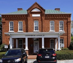

Social Circle, Georgia
17 topographic sheets and 5 fire insurance atlases, 1899 to 1945