 Block
From the record
4 National Register listings published here.
Sources: the National Register database, National Park Service
27 topographic sheets and 8 fire insurance atlases across 1 place.
4 National Register listings published here.
Sources: the National Register database, National Park Service
Every property in this county listed on the National Register of Historic Places, with the year it was listed and the federal nomination document.
| Photograph | Property | Type | Listed | Reference |
|---|---|---|---|---|
| Roberts-McGregor House | building | 1979 | 79000750 | |
 | Warren County Courthouse | building | 1980 | 80001259 |
| Warrenton Downtown Historic District | district | 2002 | 02000340 | |
 | Warrenton Gymnasium-Auditorium | building | 2002 | 02001214 |
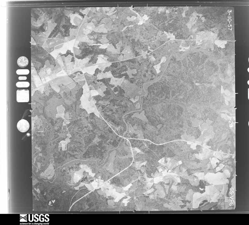
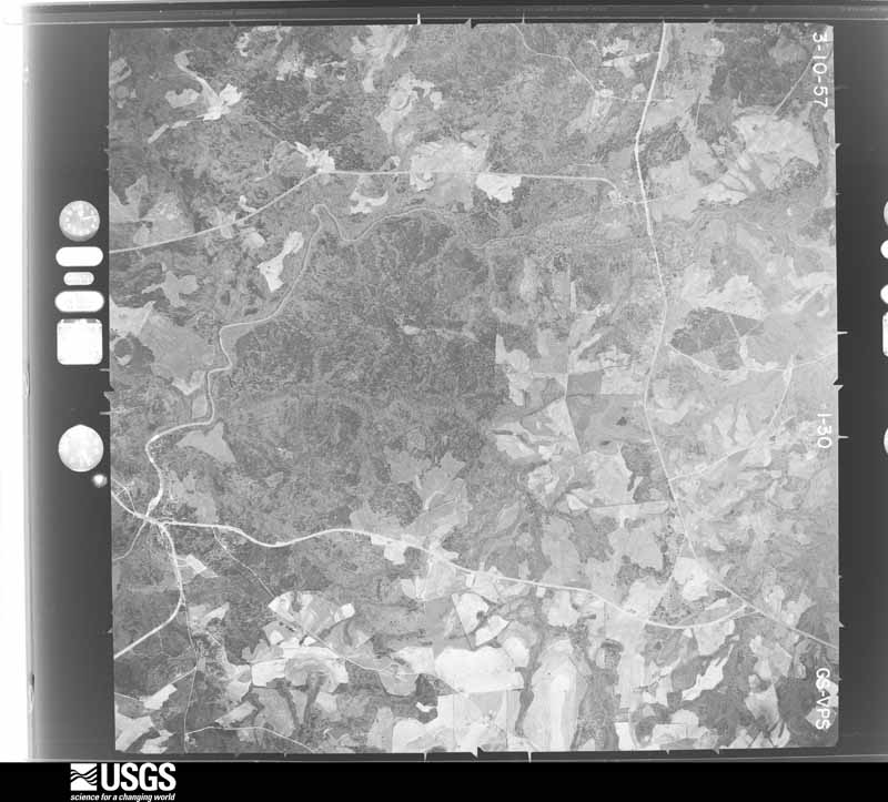
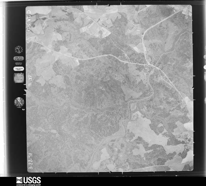
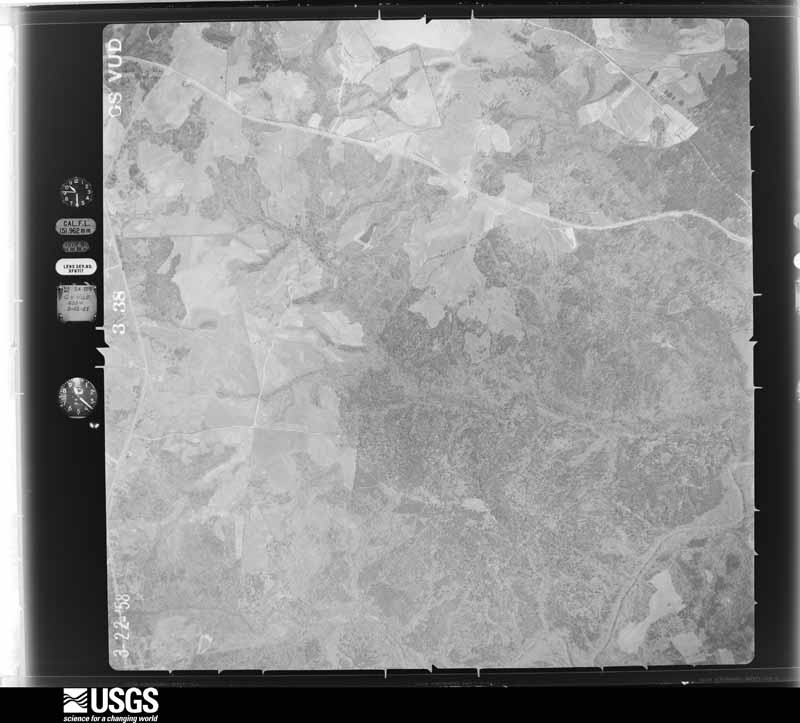
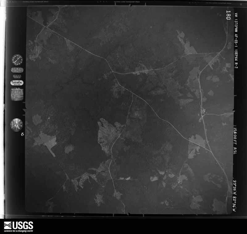
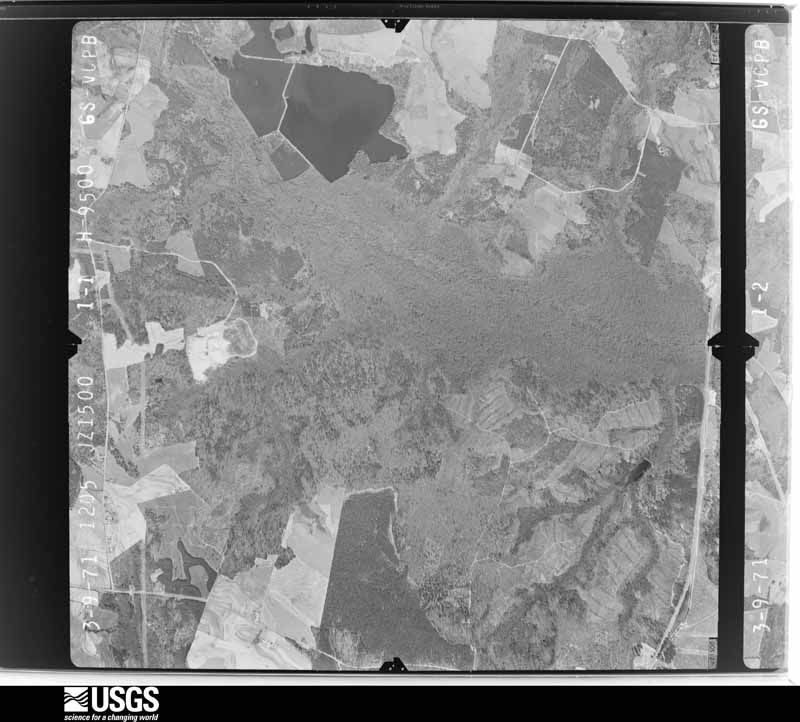
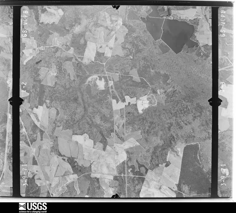
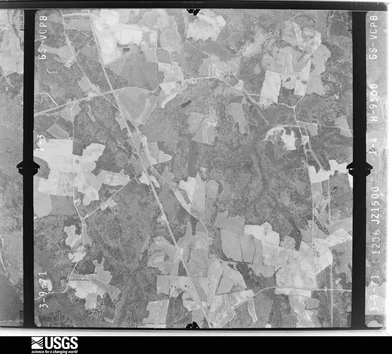
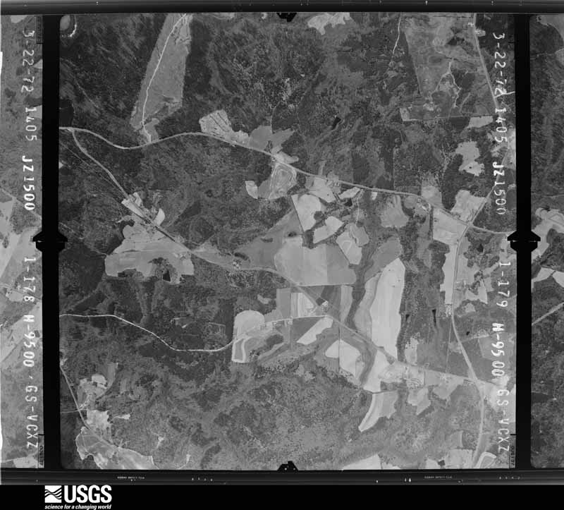
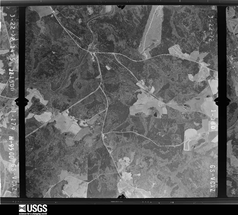
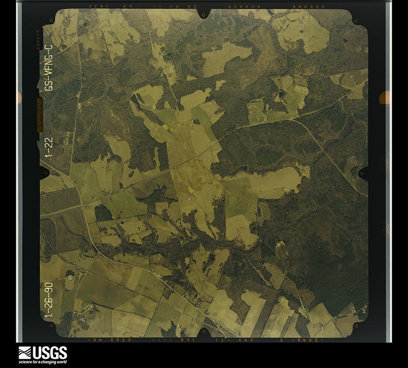
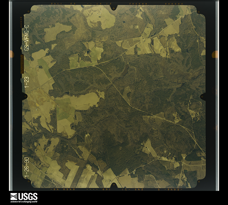
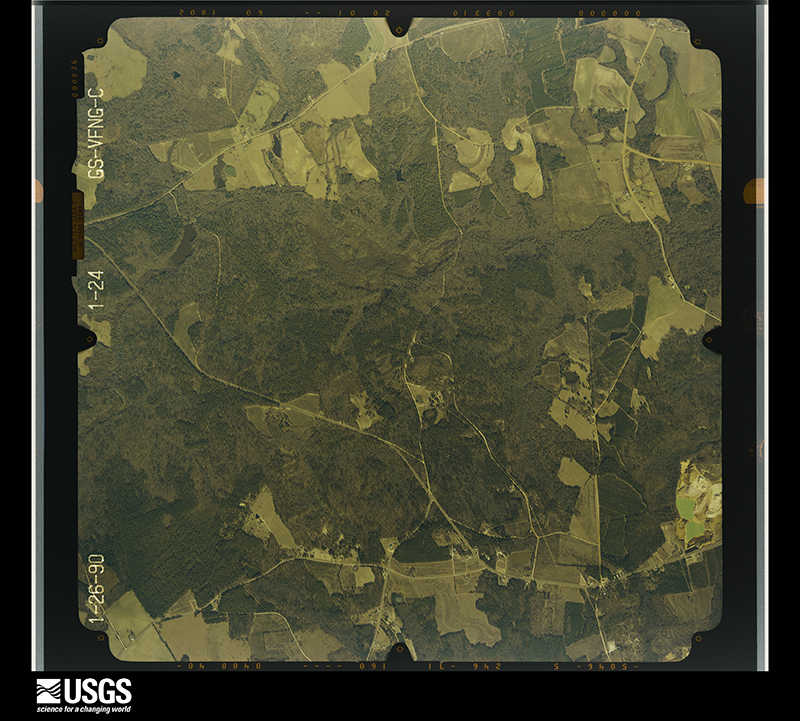
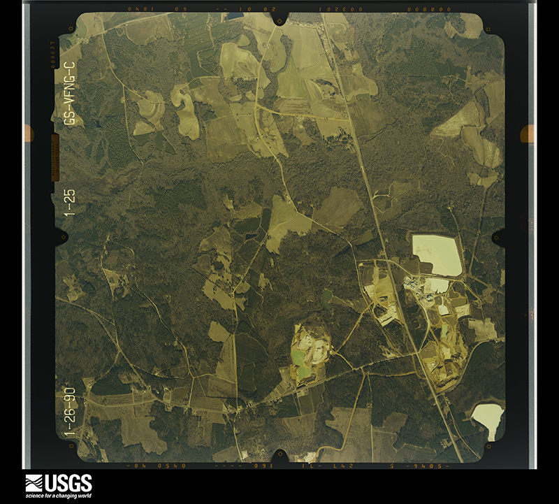
Flown by the U.S. Geological Survey between 1937 and 1989, the Aerial Photo Single Frames collection is the definitive mid-century view of the land: fields, roads and rivers as the camera saw them. The Survey holds 780 frames inside the rectangle that bounds this county; the 31 frames below were taken over the county itself, chosen across the decades of flights (at most four a year from that rectangle), so one flight cannot crowd out the rest. The full set is free to browse and download at EarthExplorer under the dataset Aerial Photo Single Frames.





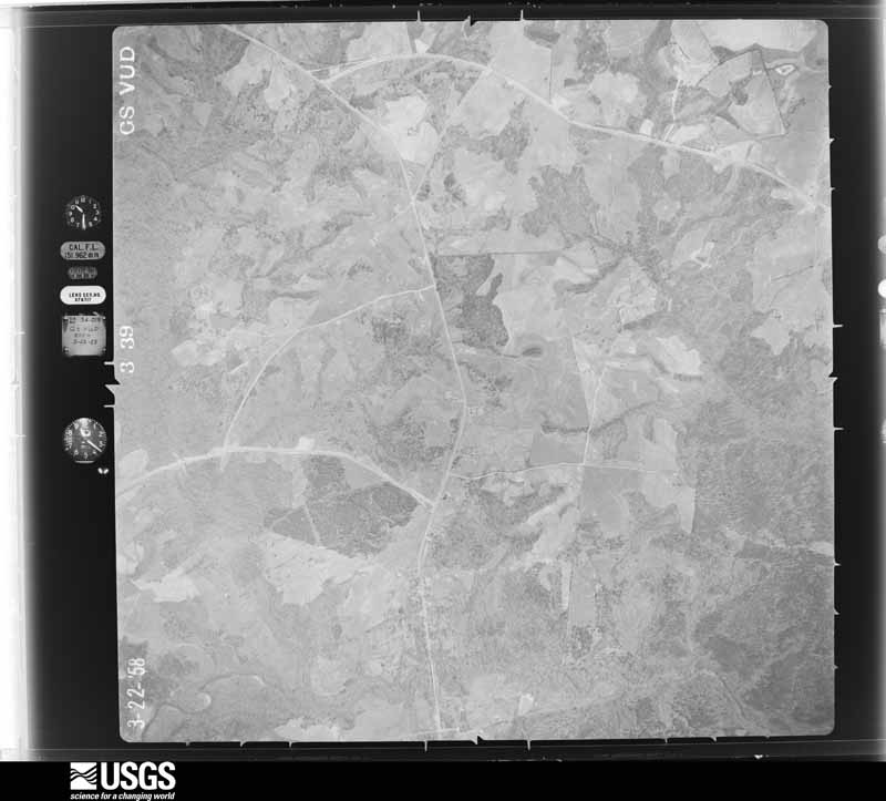




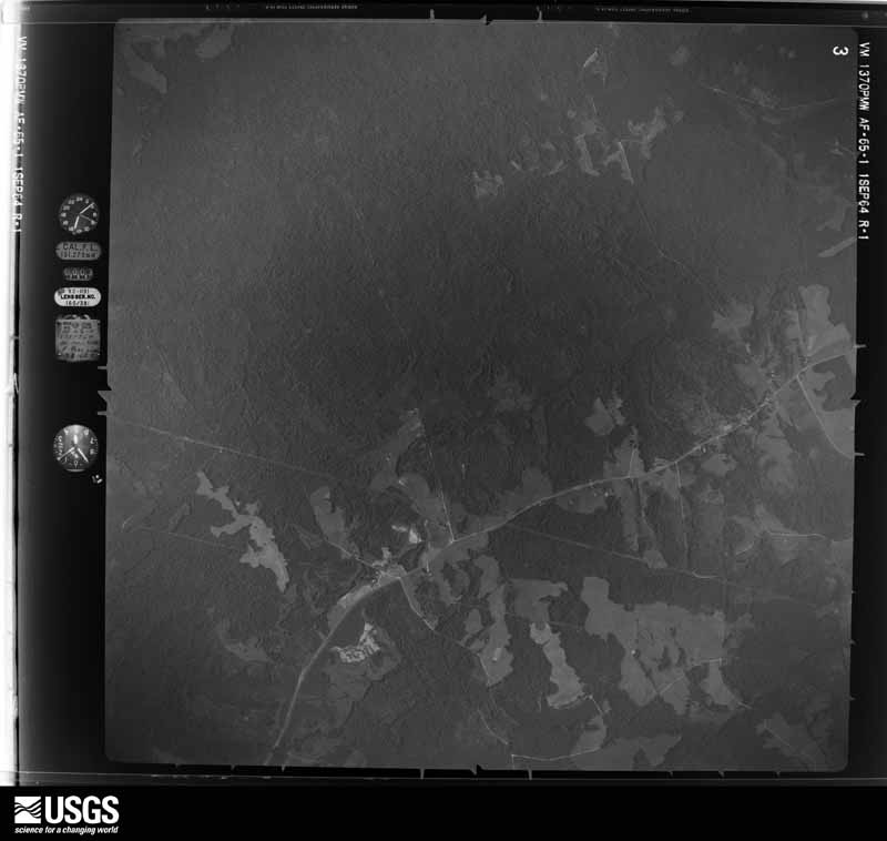
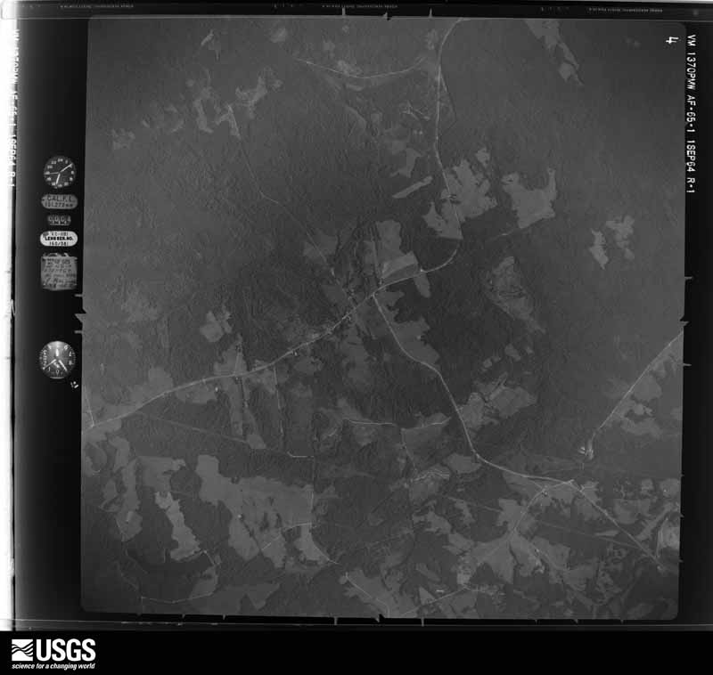
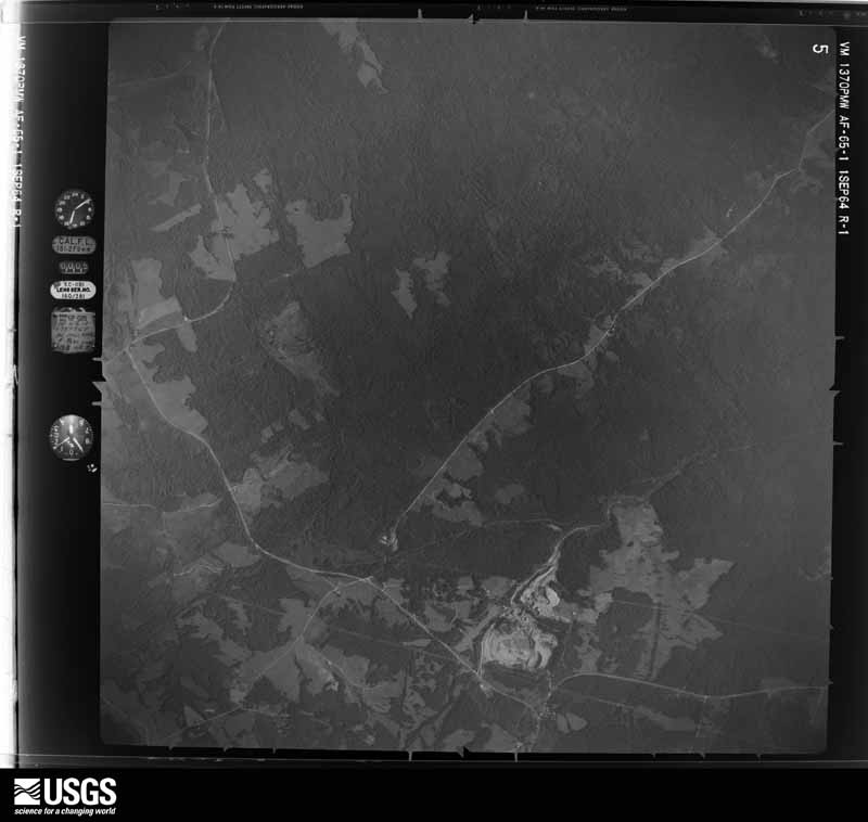




The thermometers that kept this county's weather, as the federal records hold them. The extremes below are measured values from those records, not estimates.
Who lived here in 1950, one enumeration district at a time, as the Census Bureau described each district. Each row opens its official National Archives result, with Population Schedules and ED Maps available there.
Every wildfire the federal occurrence database records inside this county: 726 of them, burning about 3,365 acres. 54 started naturally and 47 were recorded as arson. Each settlement page carries the fires within five miles of it.
| Reported cause | Fires |
|---|---|
| Debris and open burning | 422 |
| Missing data/not specified/undetermined | 60 |
| Equipment and vehicle use | 56 |
| Natural | 54 |
| Smoking | 47 |
| Arson/incendiarism | 47 |
| Railroad operations and maintenance | 15 |
| Recreation and ceremony | 13 |
| Misuse of fire by a minor | 12 |
The five largest, by the area the report gives. None of them was recorded as arson.
| Date | Cause | Size | Reported by | Name on the report |
|---|---|---|---|---|
| 13 May 1997 | Railroad operations and maintenance | 171 acres | Georgia Forestry Commission | not named |
| 31 October 2012 | Debris and open burning | 134 acres | Georgia Forestry Commission | FY2013-WARREN-007 |
| 9 March 2000 | Smoking | 116 acres | Georgia Forestry Commission | FY2000-WARREN-022 |
| 26 July 1993 | Natural | 91 acres | Georgia Forestry Commission | not named |
| 3 July 2011 | Natural | 85 acres | Georgia Forestry Commission | FY2012-WARREN-001 |
| 24 January 2011 | Debris and open burning | 83 acres | Georgia Forestry Commission | FY2011-WARREN-015 |
| 12 March 2011 | Debris and open burning | 72 acres | Georgia Forestry Commission | FY2011-GLASCOCK-017 |
| 16 March 1997 | Equipment and vehicle use | 66 acres | Georgia Forestry Commission | not named |
Every settlement page carries the fires within five miles of it - see the settlement index below.
The NOAA Storm Events Database holds 80 reports for this county, causing no deaths, 3 injuries and about $2,254,000 in recorded property damage. Each settlement page carries the reports that name it.
| Kind of event | Reports |
|---|---|
| Thunderstorm Wind | 51 |
| Hail | 16 |
| Tornado | 6 |
| Lightning | 4 |
| Funnel Cloud | 1 |
| Flash Flood | 1 |
| Flood | 1 |
The most serious of them, by death, then injury, then recorded damage. The accounts are quoted exactly as the forecast office filed them.
| When | Event | Place named | Harm | What the report says |
|---|---|---|---|---|
| March 2007 | Tornado (EF2) | Warrenton | 3 hurt, $700,000 | A damage survey conducted by the National Weather Service in Peachtree City, GA concluded that an EF2 tornado tracked across eastern Warren county, touching down about four miles east-northeast of Warrenton, and continued into McDuffie county, terminating about 6 miles northeast of Thomson near Interstate-20. The overall tornado path length was 15 miles, but only about 2.5 miles of the path occurred within Warren county. The maximum path width was 448 yards or about one-quarter nautical mile. The tornado tracked very close to U.S. Highway 278 or Georgia Highway 12, the main highway between Warrenton and Thomson. The most significant damage occurred to the Briarwood Academy on U.S. Highway 278. In addition, a number of homes, mostly double-wide mobile homes, sustained significant damage between Warrenton and the McDuffie county line, especially on the northeast side of Warrenton. Most of the damage was in the Camak Road and Thomson Highway area. One double-wide mobile home was completely destroyed with only the base slab left standing. There were eight homes with major damage, 13 with moderate damage, and 17 with minor damage. Three individuals sustained minor injuries from flying glass and debris. Dozens of trees and power lines were down along the path of the tornado. |
| April 2011 | Tornado (EF1) | Norwood | $1,000,000 | A damage survey conducted by the National Weather Service Forecast Office in Peachtree City, Georgia confirmed that the final tornado to touch down within the county warning area of the April 27th and April 28th outbreak was in Warren county. This was yet again another EF1 tornado. The tornado touched down four miles southwest of Norwood and tracked nearly eight miles on an east-northeastward path across northern Warren county lifting one mile northeast of Camak. The maximum path width was determined to be 1/4 mile with maximum winds estimated to be 105 mph. Eight homes sustained moderate to major damage along the path of the tornado, mostly from large fallen trees on the structures. Hundreds of trees and several power lines were down along the path of the tornado. There were no fatalities or injuries with the final tornado of this historical outbreak.||[04/27-04/28/11: Tornado #15, County #1-1, EF1, Warren, 2011:024]. |
| April 2011 | Thunderstorm Wind | Barnett | $100,000 | The Warren County 911 Center reported that dozens of trees and power lines were down throughout the county. Five homes in the county sustained minor damage from downed trees. |
| March 2008 | Hail | Warrenton | $90,000 | The public observed baseball-sized hail across the southern portions of Warren county. Nickel-sized hail was observed by the public in Warrenton. Radar supported that a swath of large hail fell across much of the southern portion of Warren county, south of Warrenton and Norris, including the far southeastern panhandle. |
| June 2007 | Lightning | Warrenton | $75,000 | The Warren County Emergency Management Director reported that lightning struck a home. The home was completely destroyed from the resulting fire. |
| February 2012 | Hail | Ansley | $30,000 | A trained spotter reported that golf ball sized hail fell just north of Jewell. |
| February 2009 | Tornado (EF1) | Four Points | $25,000 | A damage survey conducted by the National Weather Service Forecast Office in Peachtree City, Georgia confirmed that the EF3 tornado which originated in Hancock county, continued across extreme southern Warren county and then into extreme northwest Glascock county. The tornado weakened to an EF1 as it crossed into Warren county with a maximum path width of 100 yards. While the total path length of the tornado was nearly 11 miles, just a little over one mile of this path was within Warren county. Since the tornado traveled through an extremely rural part of Warren county, damage was confined to around 100 downed trees. |
| July 2000 | Thunderstorm Wind | Countywide | $25,000 | The Warren county 911 center reported trees down throughout the county. |
| April 1957 | Tornado (F2) | not stated | $25,000 | no account filed |
| July 2000 | Thunderstorm Wind | Countywide | $20,000 | The Warren county 911 center reported more trees down countywide. |
| April 2017 | Thunderstorm Wind | Jewell | $10,000 | The Warren County Emergency Manager reported trees blown down across the county. |
| July 2013 | Flood | Norwood | $10,000 | The Warren County emergency manager reported additional rainfall of around two inches on already wet soils caused the drainage systems to be overwhelmed leading to some washed out roads in the Warrenton area. |
| July 2003 | Lightning | Warrenton | $10,000 | The Warrenton Clipper reported that lightning struck and destroyed the chimney on a home, along with two television sets and some telephones inside. |
| June 2015 | Thunderstorm Wind | Camak | $8,000 | The Warren County 911 Center reported multiple trees down along I-20 and along Ridge Road. |
| July 2017 | Thunderstorm Wind | Cedar Rock | $6,000 | The Warren County 911 center reported trees blown down from north of Norwood to near Warrenton including along I-20 around mile marker 158 and around Durham Road, and near the intersection of Elam Church Road and Jack Ray Road. |
| November 2014 | Thunderstorm Wind | East Warrenton | $6,000 | The Warren County 911 Center reported trees blown down across the county. |
| July 2023 | Thunderstorm Wind | Camak | $5,000 | Report of 5 trees down on roadways in Camak. |
| July 2016 | Thunderstorm Wind | Camak | $5,000 | The Warren County Emergency Manager reported trees and power lines blown down along Highway 278. |
| July 2010 | Lightning | Warrenton | $5,000 | The Warren County 911 Center reported that a lightning strike rendered the emergency center's radios inoperative for several hours. |
| May 2008 | Thunderstorm Wind | Norwood | $5,000 | The Warren County 911 Center reported that several trees and power lines were down in the Norwood area. It appeared to them to have possibly been a downburst. |
| June 2007 | Lightning | Warrenton | $5,000 | The Warren County Emergency Mangement Director reported that 12 cows were killed from a lightning strike. |
| May 2003 | Thunderstorm Wind | Countywide | $5,000 | The Warren county 911 center reported that a number of trees were blown down across the county. |
| June 2000 | Thunderstorm Wind | Warrenton | $5,000 | The Jefferson County Emergency Management Center reported trees down on power lines throughout the southern part of Warren county. |
| June 1998 | Thunderstorm Wind | Warrenton | $5,000 | Warren county 911 reported numerous trees were blown down county-wide. |
| June 1994 | Thunderstorm Wind | Warrenton | $5,000 | Several large trees were downed at Nayfield and East Warrenton roads on the east side of Warrenton. |
| June 1994 | Thunderstorm Wind | Warrenton | $5,000 | Numerous large trees were downed by thunderstorm winds along Georgia Highway 278. |
| February 1993 | Thunderstorm Wind | Warrenton | $5,000 | Several large trees were blown down. |
| April 1997 | Thunderstorm Wind | Norwood | $5,000 | no account filed |
| July 2023 | Thunderstorm Wind | East Warrenton | $4,000 | Report of 4 trees down across roadways in Warrenton. |
| April 2020 | Thunderstorm Wind | Warrenton | $4,000 | Power lines down at the intersection of W Elam Church Road and Jack Ray Road. |
| June 2018 | Thunderstorm Wind | Ansley | $4,000 | The Warren County 911 center reported multiple trees blown down southwest of Warrenton, along Long Creek Road. |
| June 2013 | Flash Flood | Plainview | $3,000 | Brier creek around 5 miles east of Warrenton overflowed a portion of East Warrenton Road with up to one foot of water. |
| February 2012 | Thunderstorm Wind | Norwood | $3,000 | The Warren County Emergency Manager reported that a couple of trees were blown down in Norwood and a few trees were blown down in Camak. |
| June 2010 | Thunderstorm Wind | Camak | $3,000 | The Warren County 911 reported that six trees and one power line were down near Camak. |
| June 2007 | Thunderstorm Wind | Warrenton | $3,000 | The Warren County Emergency Management Director reported that an apparent thunderstorm downburst from a small thunderstorm resulted in six to nine trees being blown down in the area south and east of Warrenten. |
| June 2007 | Thunderstorm Wind | Cadley | $3,000 | The Warren County Emergency Management Director and the Warren County 911 Center reported that a number of trees were down on Interstate-20 in the northern part of the county. Other trees were down in other areas of the county, including at least two trees down on U.S. Highway 278 north of Warrenton. |
| February 2003 | Thunderstorm Wind | Warrenton | $3,000 | The Warren county 911 center reported that several trees were blown down. |
| February 1973 | Tornado (F1) | not stated | $2,500 | no account filed |
| July 2023 | Thunderstorm Wind | Norwood | $2,000 | Trees down in the 1000-4000 blocks of Ridge Road in Norwood. |
| April 2020 | Thunderstorm Wind | Cadley | $2,000 | Large tree down on the 5000 block of E Cadley Road. |
| June 2019 | Thunderstorm Wind | Warrenton | $2,000 | The Warren County Emergency Manager reported trees blown down around the intersection of Mayfield Road and Atlanta Highway. |
| July 2016 | Thunderstorm Wind | Norwood | $2,000 | The Warren County 911 center reported trees blown down along Highway 278 in Norwood and along Washington Highway in Camak. |
| January 2001 | Thunderstorm Wind | Norwood | $2,000 | The Warren county 911 center reported that trees were down. |
| July 1999 | Thunderstorm Wind | Camak | $2,000 | Warren county 911 reported trees and power lines down on highway 80 between Camak and Warrenton. Trees were also knocked down on power lines near Barnett. |
| July 1997 | Thunderstorm Wind | Warrenton | $1,500 | Two tree limbs were knocked down on power lines along Georgia Highway 278 in Warrenton. |
| April 2020 | Thunderstorm Wind | Cadley | $1,000 | Large tree down at the intersection of Hwy 80 and Indian Hill Road. |
| April 2009 | Thunderstorm Wind | Norris | $1,000 | The Warren County 911 Center reported that a few trees were blown down in the far western portion of the county near the Hancock county line. |
| December 2009 | Thunderstorm Wind | Barnett | $1,000 | The Warren County 911 Center reported that a few trees were down, scattered about the county. |
| September 2003 | Thunderstorm Wind | Warrenton | $1,000 | The Warren county Emergency Management Director reported that a shed was blown over at a gasoline service station. |
| August 2002 | Thunderstorm Wind | Jewell | $1,000 | The Warren county 911 center reported that power lines were down in the Jewell/Jewells Mill area. |
| May 1999 | Thunderstorm Wind | Norwood | $1,000 | Warren county 911 reported numerous trees knocked down by thunderstorm winds. |
| July 1999 | Thunderstorm Wind | Warrenton | $1,000 | Warren county 911 reported several trees blown down. |
| July 1995 | Thunderstorm Wind | Mayfield | $500 | Thunderstorm winds knocked numerous trees down on power lines. |
| July 1995 | Thunderstorm Wind | Warrenton | $500 | Thunderstorm winds knocked trees down on the Eastern part of Briarcreek Church Road. |
| January 2023 | Tornado (EF1) | Ansley | - | The tornado started near the intersection of Mayfield Rd and Riverview Farms Rd. It tracked ENE uprooting trees and picked up strength as it approached Atlanta Highway where a grove of large pines were snapped or uprooted with EF-1 intensity. The tornado crossed Old Camek Rd near the intersection of Lithonia Church Rd snapping and uprooting a number of large pine trees and causing minor structural damage as it approached the intersection of Washington HWY and Calvin Dr. The Georgia State Patrol (GSP) Aviation Division used a helicopter to pick up the trail near Camak, just east of Church Street, and moved toward the northeast. EF-0 damage to trees was seen from the helicopter extending from Camak Rd to the intersection of Wire Road and Otis Jones Road. A second NWS survey team determined the tornado strengthened again to EF-1 intensity as it approached Mesena Road and continued northeast across the county line to Foster Sprouse Road. In this area, a couple of homes had roof and facia damage, a metal work shed and outdoor kitchen were destroyed, and a swath of large and healthy pine trees were snapped and uprooted. As the tornado crossed Foster Sprouse Road, it continued to snap and uproot trees, one of which fell on a house. The tornado then weakened as it crossed Union Church Road and dissipated before reaching West Bypass. |
| June 2023 | Hail | Barnett | - | Report of 1 inch hail at Carl Sanders Hwy and US 278. |
| June 2023 | Thunderstorm Wind | Reese | - | Trees and powerlines down on Little Briar Creek Church Road near Ricketson Road. |
| June 2023 | Thunderstorm Wind | Reese | - | Trees and powerlines down at Ricketson Road near Mt. Pleasant Road. |
| April 2022 | Thunderstorm Wind | Mesena | - | Metal roofing pulled off a barn/shed along Wire Rd with several trees snapped. |
| April 2022 | Thunderstorm Wind | East Warrenton | - | Several trees knocked down with one on mobile home causing structural damage off of Parkway Dr in Warrenton. |
The Survey's mineral resources record lists 16 workings inside this county. 7 still produce and 9 are closed or unrecorded. Each settlement page carries the workings within five miles of it.
| Commodity | Workings |
|---|---|
| Kaolin | 6 |
| Gold | 4 |
| Clay | 3 |
| Stone, Crushed/Broken | 2 |
| Iron | 1 |
The least common of them first, because a county's hundredth gravel pit says nothing its first ten did not.
| Where | Site | Commodity | Status | Recorded |
|---|---|---|---|---|
| Warren County Deposit | Iron | Occurrence | ||
| Warrenton Quarry | Stone, Crushed/Broken | Producer | ||
| Weston and Brooker Quarry | Stone, Crushed/Broken | Producer | ||
| Hobbs Clay Mine | Clay | Producer | ||
| Palmer Mine | Clay | Producer | ||
| Purvis Mine | Clay | Producer | ||
| Sellers | Gold | Prospect | Vein | |
| Taylor | Gold | Prospect | Vein | |
| Warren Mine | Gold | Past Producer | Vein | |
| Wilson & Watson | Gold | Prospect | Vein | |
| Bowden Pit | Kaolin | Occurrence | ||
| Bowden Pit | Kaolin | Producer | ||
| Georgia Kaolin Company. | Kaolin | Occurrence | ||
| Hinton Mine | Kaolin | Occurrence | ||
| Hinton Mine | Kaolin | Producer | ||
| Huber Mine | Kaolin | Occurrence |
Named settlements recorded in the Geographic Names Information System, each with the topographic sheets covering it. Villages, hamlets and abandoned places alike. Each is shown with the nearest named watercourse or landform and the survey quadrangle it falls on. The 1 place that was also surveyed for fire insurance comes first, with the number of atlases and photographs held for them.
Warrenton census division · 30828 · Warrenton quadrangle
10 sheets, 1953 to 1988
Fire insurance: 8 atlases
Camak census division · 30821 · On Tanyard Branch · Cadley quadrangle
12 sheets, 1906 to 1988
Camak census division · 30824 · On Childers Creek · Wrightsboro quadrangle
14 sheets, 1906 to 1988
Warrenton census division · 30828 · On Darden Branch · Bastonville quadrangle
9 sheets, 1953 to 1988
Norris census division · 30828 · On Stony Hill · Beall Springs quadrangle
10 sheets, 1953 to 1988
Camak census division · 30821 · On Tanyard Branch · Cadley quadrangle
12 sheets, 1906 to 1988
10 topographic sheets and 8 fire insurance atlases, 1884 to 1930