 Block
From the record
6 National Register listings published here.
Sources: the National Register database, National Park Service
36 topographic sheets cover 21 settlements here, and 6 properties are on the National Register of Historic Places.
6 National Register listings published here.
Sources: the National Register database, National Park Service
Taken for the Office of War Information and the Farm Security Administration, who photographed the country between 1935 and 1944. Works of United States government photographers, with no known restriction on use. Each opens its catalogue record.
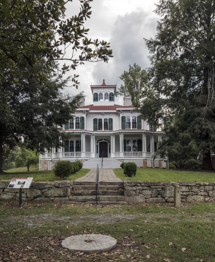

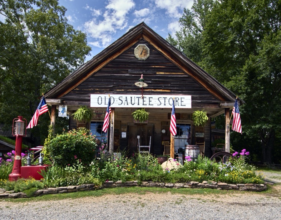
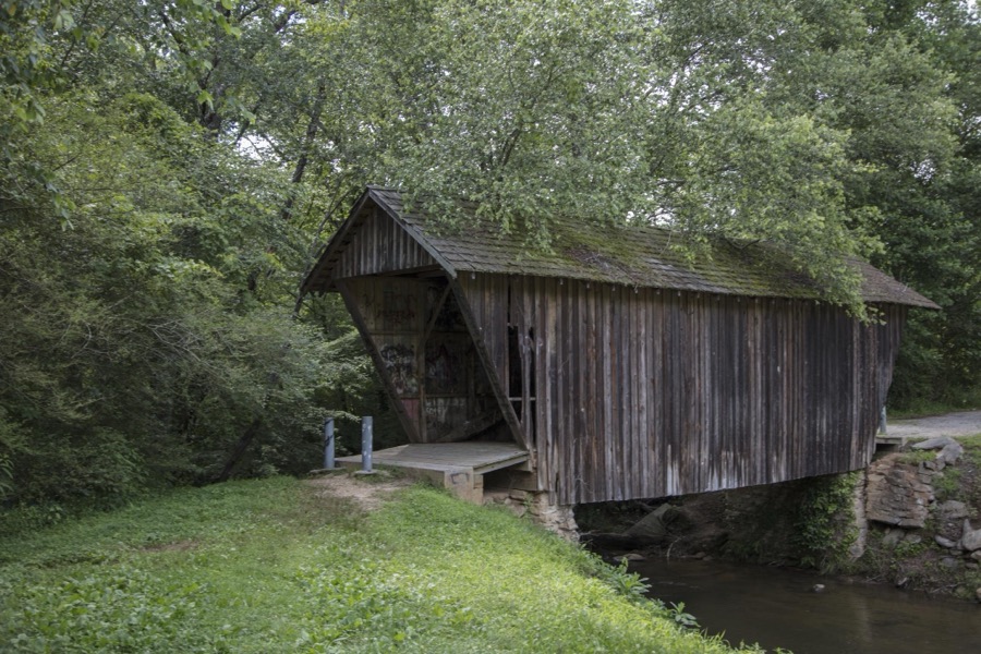
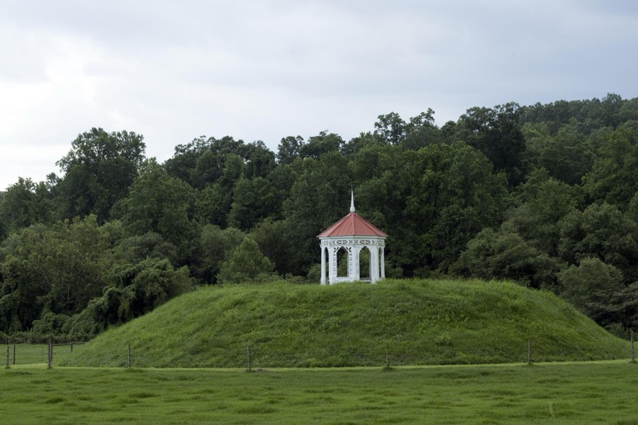
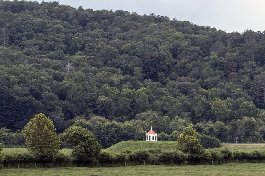

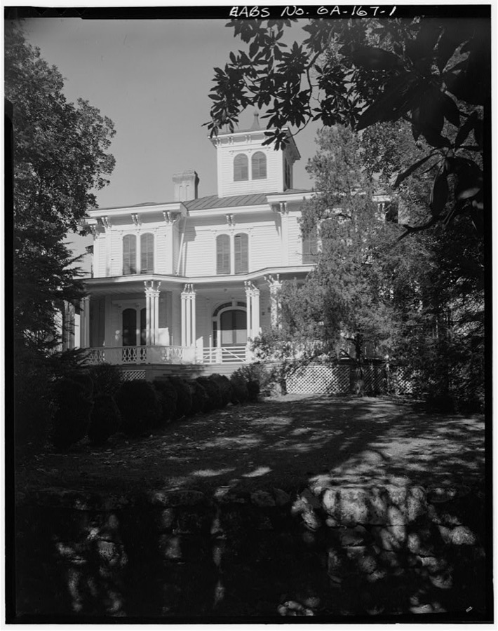
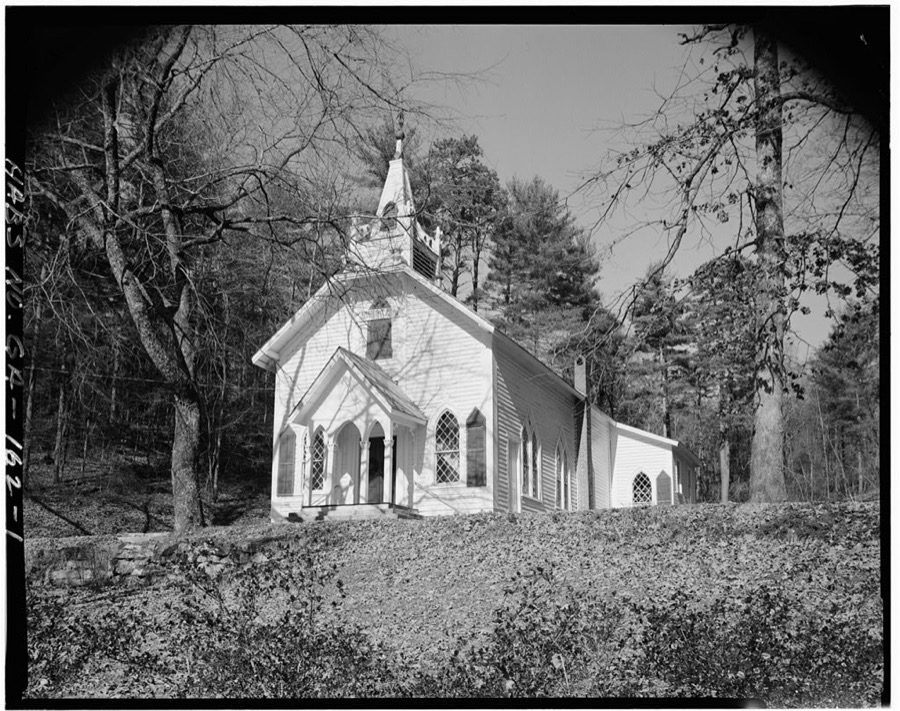
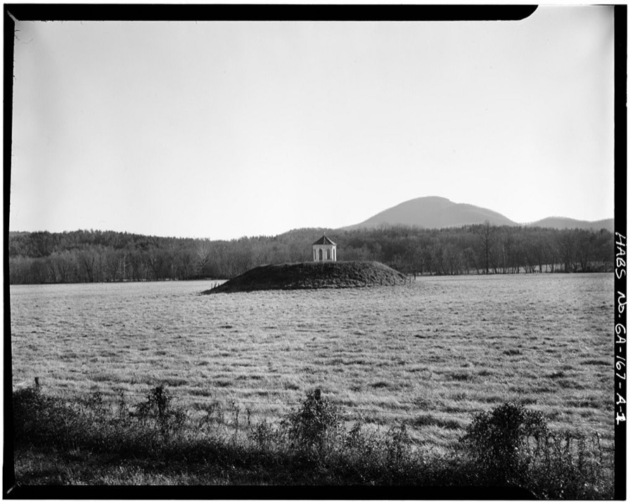
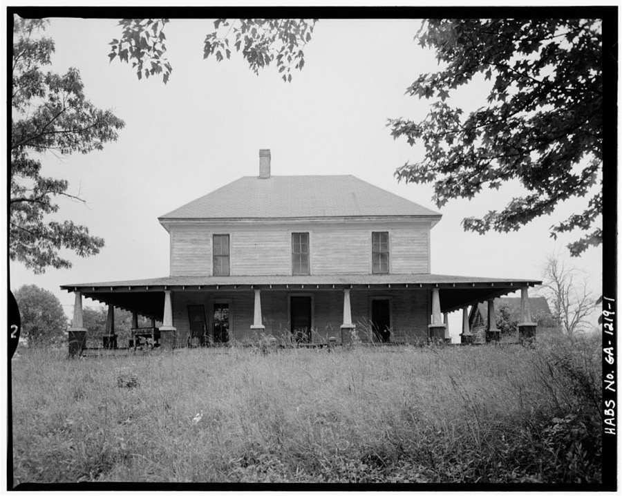
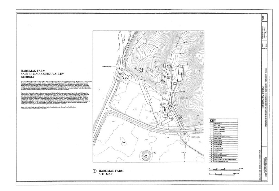
Every property in this county listed on the National Register of Historic Places, with the year it was listed and the federal nomination document.
| Photograph | Property | Type | Listed | Reference |
|---|---|---|---|---|
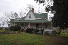 | Harshaw-Stovall House | building | 1984 | 84001302 |
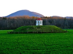 | Nacoochee Valley | district | 1980 | 80001264 |
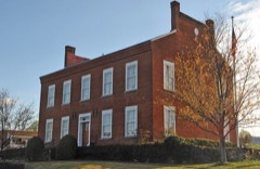 | Old White County Courthouse | building | 1970 | 70000226 |
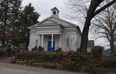 | Sautee Valley Historic District | district | 1986 | 86002742 |
| John Stovall House | building | 1991 | 91000784 | |
| White County Jail | building | 1985 | 85002089 |
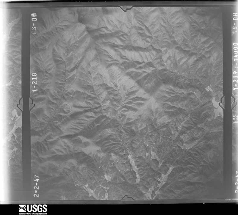
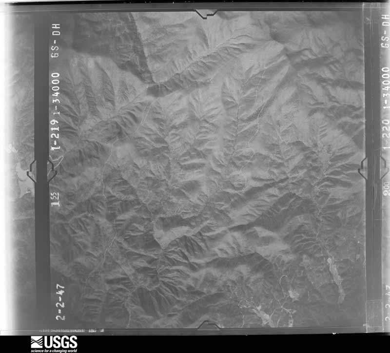
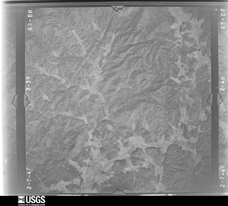
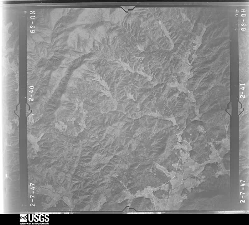
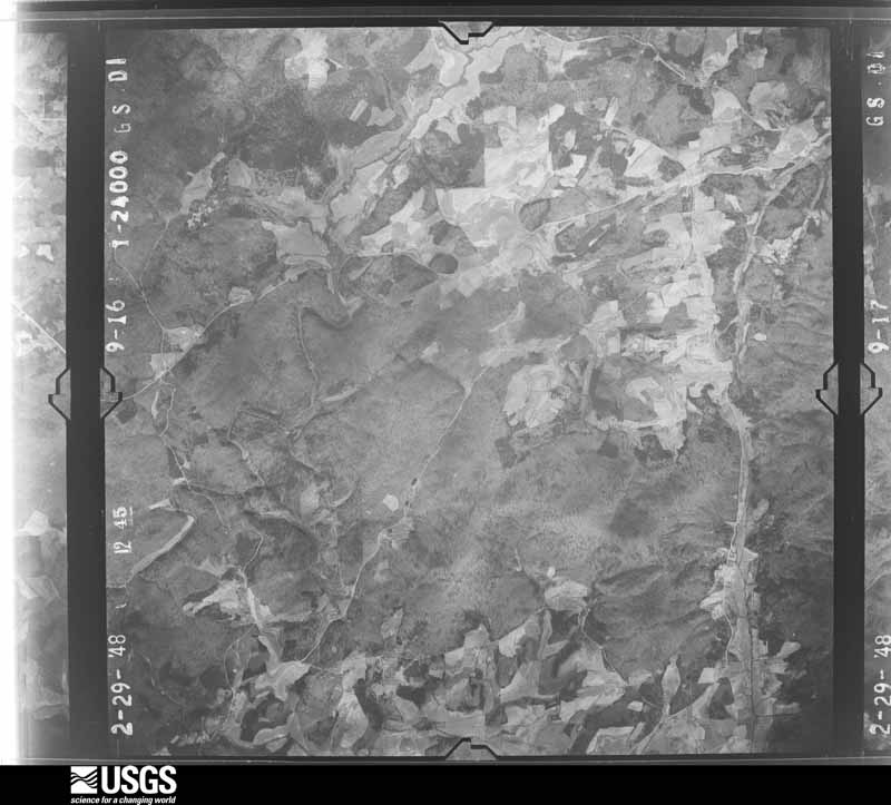
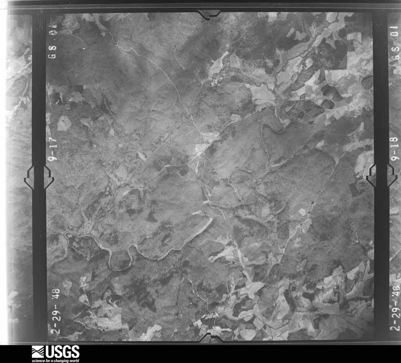
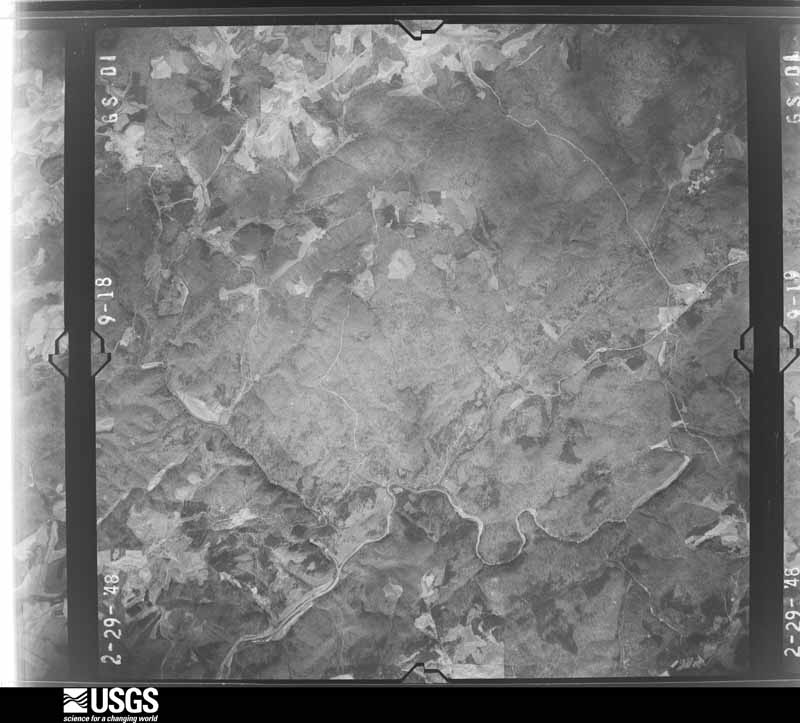
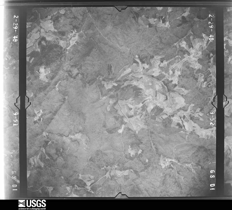
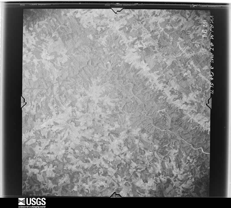
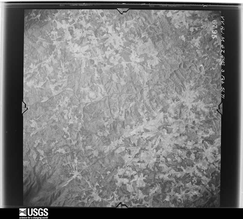
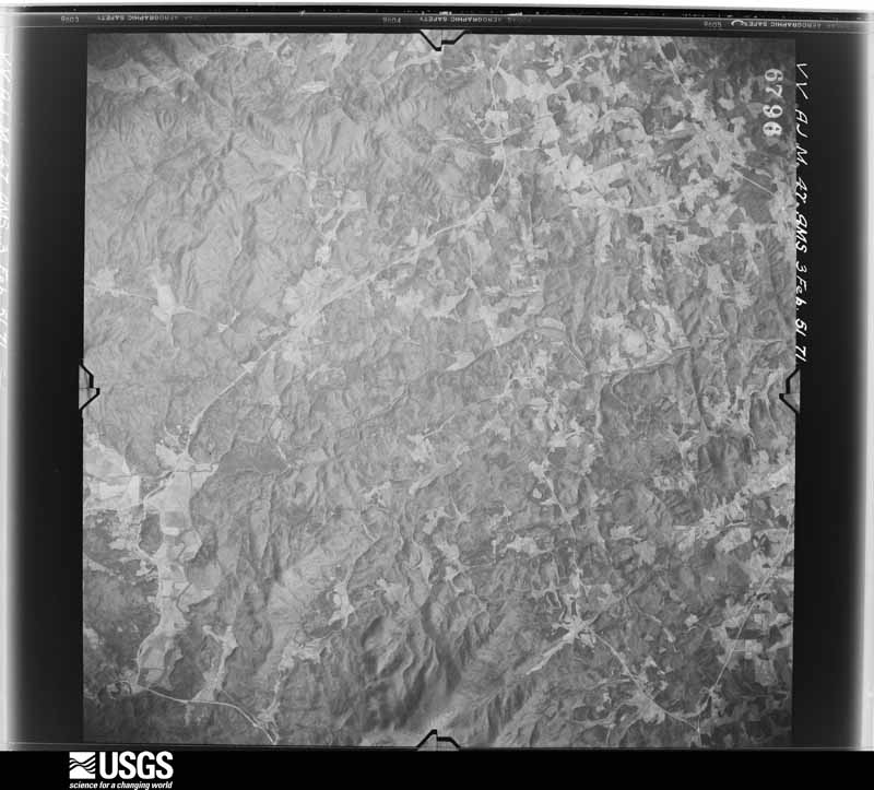
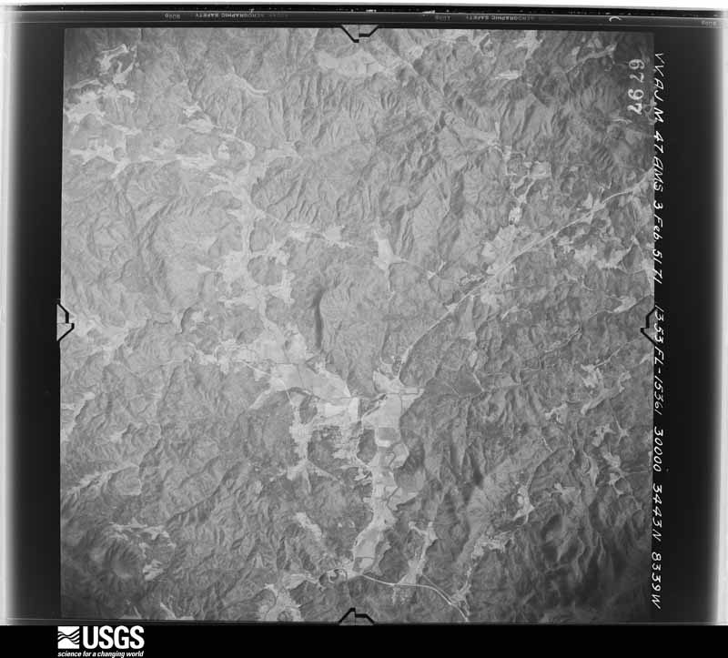
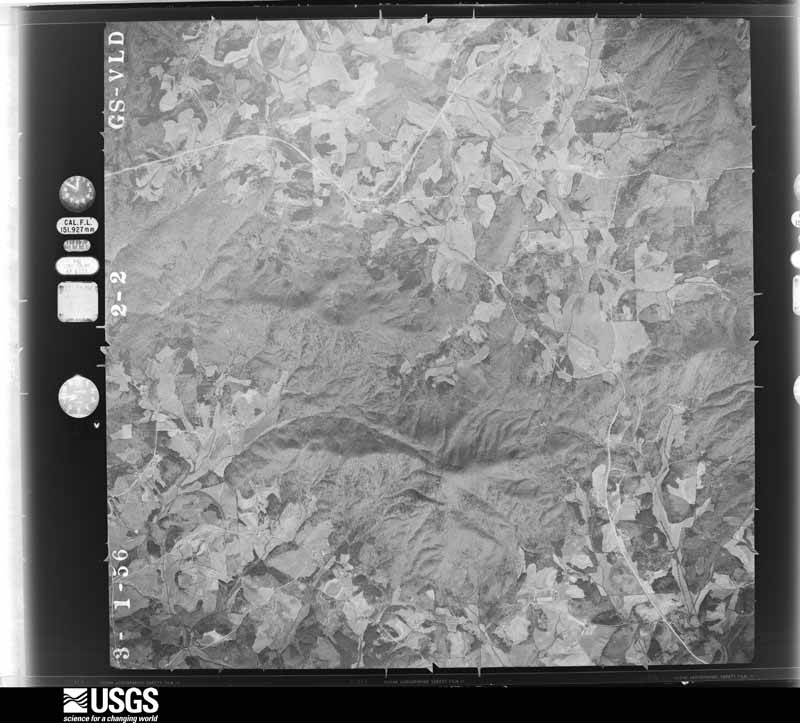
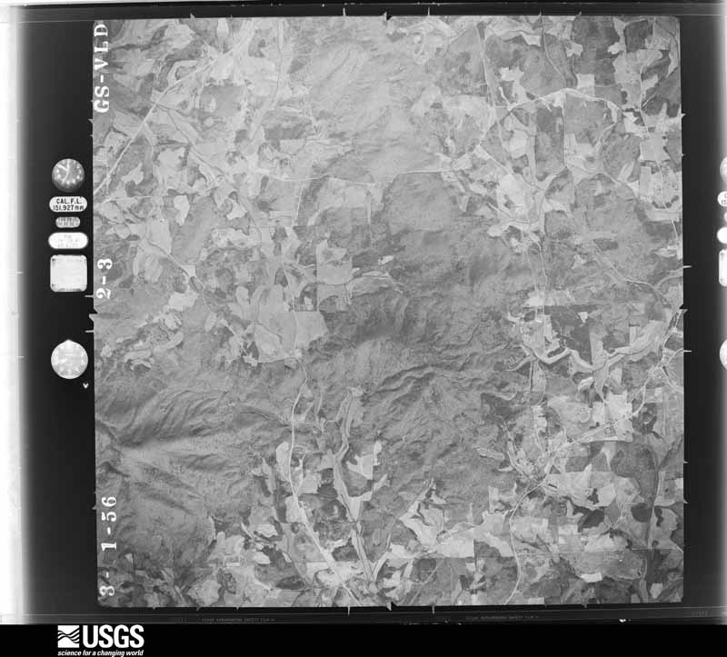
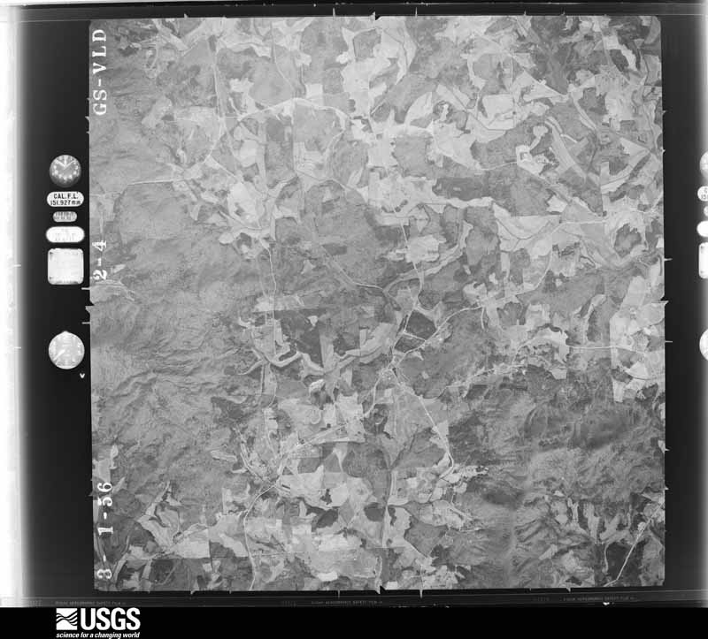
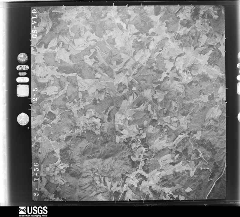
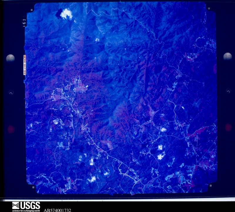
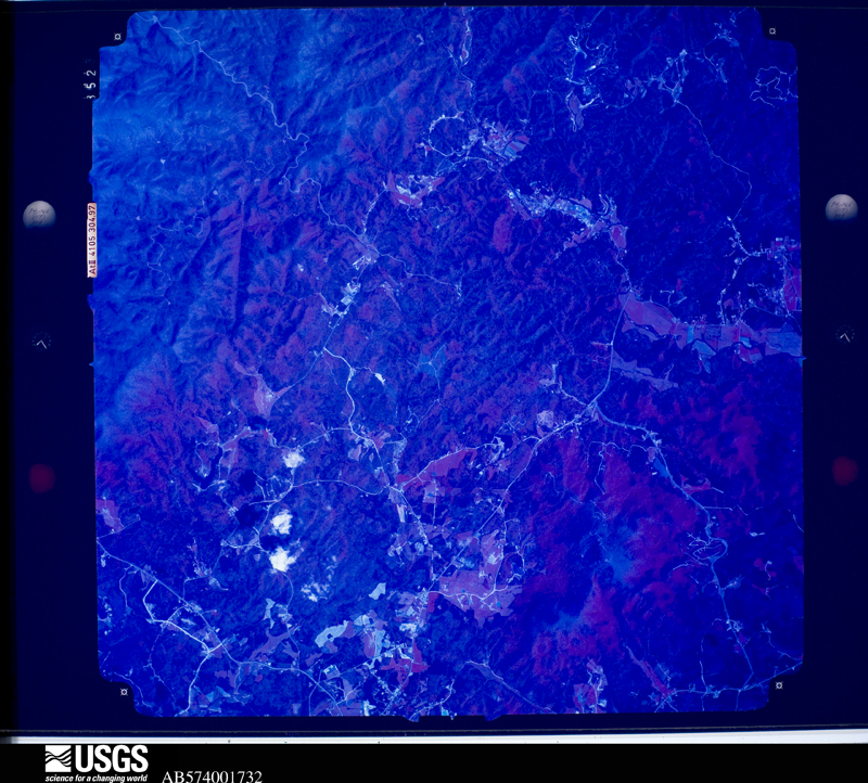
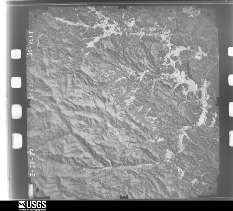
Flown by the U.S. Geological Survey between 1937 and 1989, the Aerial Photo Single Frames collection is the definitive mid-century view of the land: fields, roads and rivers as the camera saw them. The Survey holds 317 frames inside the rectangle that bounds this county; the 24 frames below were taken over the county itself, chosen across the decades of flights (at most four a year from that rectangle), so one flight cannot crowd out the rest. The full set is free to browse and download at EarthExplorer under the dataset Aerial Photo Single Frames.





The thermometers that kept this county's weather, and the gages that measured the flow of its streams, as the federal records hold them. The extremes below are measured values from those records, not estimates.
Who lived here in 1950, one enumeration district at a time, as the Census Bureau described each district. Each row opens its official National Archives result, with Population Schedules and ED Maps available there.
Every wildfire the federal occurrence database records inside this county: 496 of them, burning about 2,411 acres. 12 started naturally and 57 were recorded as arson. Each settlement page carries the fires within five miles of it.
| Reported cause | Fires |
|---|---|
| Debris and open burning | 335 |
| Arson/incendiarism | 57 |
| Missing data/not specified/undetermined | 43 |
| Equipment and vehicle use | 20 |
| Natural | 12 |
| Recreation and ceremony | 11 |
| Misuse of fire by a minor | 8 |
| Smoking | 7 |
| Other causes | 2 |
| Fireworks | 1 |
The five largest, by the area the report gives. Three of them were set deliberately.
| Date | Cause | Size | Reported by | Name on the report |
|---|---|---|---|---|
| 6 September 2007 | Natural | 350 acres | Chattahoochee-Oconee National Forest | STONEY KNOB |
| 8 February 1992 | Arson/incendiarism | 185 acres | Chattahoochee-Oconee National Forest | not named |
| 24 March 2002 | Arson/incendiarism | 166 acres | Chattahoochee-Oconee National Forest | ANDREWS COVE |
| 8 February 1992 | Arson/incendiarism | 143 acres | Georgia Forestry Commission | not named |
| 2 June 1999 | Natural | 133 acres | Chattahoochee-Oconee National Forest | RICE CABIN |
| 12 February 1996 | Debris and open burning | 120 acres | Georgia Forestry Commission | not named |
| 26 June 2008 | Natural | 94 acres | Chattahoochee-Oconee National Forest | LYNN SMITH FIRE |
| 4 March 1996 | Debris and open burning | 90 acres | Georgia Forestry Commission | not named |
Every settlement page carries the fires within five miles of it - see the settlement index below.
The NOAA Storm Events Database holds 250 reports for this county, causing 6 deaths, 82 injuries and about $23,482,750 in recorded property damage. Each settlement page carries the reports that name it.
| Kind of event | Reports |
|---|---|
| Thunderstorm Wind | 124 |
| Hail | 63 |
| Flash Flood | 47 |
| Tornado | 9 |
| Lightning | 4 |
| Flood | 2 |
| Heavy Rain | 1 |
The most serious of them, by death, then injury, then recorded damage. The accounts are quoted exactly as the forecast office filed them.
| When | Event | Place named | Harm | What the report says |
|---|---|---|---|---|
| March 1998 | Tornado (F3) | Cleveland | 2 killed, 75 hurt, $5,000,000 | no account filed |
| August 2022 | Thunderstorm Wind | Yonah | 2 killed, 3 hurt | Report of numerous trees down on top of Mt Yonah. |
| September 2004 | Flash Flood | Countywide | 1 killed, $300,000 | The Georgia Emergency Management Agency, along with local newspapers, reported extensive and widespread flooding across White county. A six-year old girl, was swept away in flood waters, while outside in the front yard of her mobile home. The mobile home park was flooded by the waters from a nearby small stream. In unrelated incidents, three other residents had to be rescued from high water elsewhere in the county. Several roads were washed out. A 20-foot portion of Black Road was washed away by flood waters. The Chattahoochee River in Helen also rose above its flood stage of 6 feet and crested near 7 feet around 1130 pm EDT. The Castle Inn of Helen experienced flooding up to the patio level, which affects the basement area of the facility. |
| April 1989 | Thunderstorm Wind | not stated | 1 killed | no account filed |
| June 2003 | Lightning | Helen | 2 hurt | The White county 911 center reported that two males, one a 9-year old and the other a 44-year old, were injured when struck by lightning. The injuries were reported to be minor. |
| January 2020 | Thunderstorm Wind | Cleveland White Arpt | 1 hurt, $25,000 | The White County Emergency Manager reported trees blown down from Cleveland and Helen to Leaf. Near Cleveland, a tree fell onto a vehicle, one occupant had minor injuries. In Hellen several business reported damage to signs. |
| July 2019 | Thunderstorm Wind | Helen | 1 hurt, $25,000 | The White County Emergency Manager reported several trees blown down in Helen. Four trees fell across the Chattahoochee River where a 4 year old girl received a minor injury while tubing on the river. A tree was blown down in the parking lot at the Unicoi Hill Park landing on and damaging two vehicles. |
| June 1994 | Tornado (F1) | Hall Co | $5,000,000 | A tornado touched down near the east shore of Lake Lanier and damaged eight to ten docks at Aqualand and Sunrise Marinas and at least 600 boats. One 800 foot long dock at the Aqualand Marina was twisted like a pretzel. The tornado skipped east and downed several trees along U.S. Highway 23. Ten homes and a church were destroyed while another 15 homes sustained minor damage along the tornado path. Several recreational vehicles were overturned at Old Federal Park near Flowery Branch. Damage to property was estimated at two million dollars. |
| June 1994 | Thunderstorm Wind | Chattooga | $5,000,000 | Straightline thunderstorm winds moderately damage 20 to 25 homes and downed several trees and power lines from Cloudland to Menlo along Georgia Highway 48. Several vehicles were damaged from wind downed tree limbs in Menlo. Up to 500 residents and businesses were without electrical, telephone and cable services for nearly 21 hours. Most damage in Menlo was concentrated on Church Street west of Menlo United Methodist Church. |
| August 2005 | Tornado (F2) | Helen | $3,000,000 | A damage survey conducted by the National Weather Service in cooperation with the White County Emergency Management Director and the White County Sheriff concluded that an F2 tornado had carved a five mile long path of destruction, roughly parallel to Georgia Highway 75, causing major destruction to the town of Helen. Extensive damage was reported to several business in downtown Helen, a Bavarian tourist town in the northeast Georgia mountains. The entire second floor was ripped off the Helen Econo Lodge by the tornado. A nearby chapel was completely destroyed. The roof of Hansel & Gretel's Candy Kitchen, the Alpine Village Shoppes, as well as that of a nearby barbecue company were all ripped off by the tornadic winds. A Circle K grocery store also suffered significant damage. Hundreds of trees were also down. One resident reported losing 200 trees just at his property. Georgia Highway 75 was completely blocked on both the north and south side of Helen from downed trees. Many power lines were also down in the area and power was out to much of the area for at least two days. |
| November 1996 | Tornado (F0) | Cleveland | $1,000,000 | no account filed |
| March 2018 | Tornado (EF1) | Cleveland White Arpt | $500,000 | A National Weather Service survey team found that an EF1 tornado, with a maximum wind speed of 105 mph and a maximum path width of 630 yards, moved across northern White County. The tornado touched down at the Upper Chattahoochee River Campground in the Chattahoochee Wildlife Management area, just south of the Union County line. Hundreds of trees were blown down as the tornado travelled southeast across the northern portion of the Wildlife Management Area. The tornado passed out of the Chattahoochee WMA along Highway 17 north of Dyers Drive where it struck an RV resort containing dozens of recreational vehicles. Dozens of trees were blown down in the resort area destroying four buildings and an unoccupied trailer. Other large trees narrowly missed several occupied trailers in the park. Across Highway 17 from the resort, an entire stand of several hundred trees was snapped or uprooted along a ridge. This area around the RV resort and the ridge is where the tornado reached its maximum strength of 105 mph and width of 630 yards. The tornado quickly weakened after crossing the ridge but continued moving southeast through forest land snapping and uprooting trees. The path crossed Tray Mountain Road before ending north of Unicoi State Park along Anna Ruby Falls Road. In total, it is estimated that a thousand or more trees were snapped or uprooted along the entire path of this tornado. [03/17/18: Tornado #1, County #1/1, EF-1, White, 2018:004]. |
| June 1994 | Thunderstorm Wind | Cleveland | $500,000 | Thunderstorm winds destroyed two chicken houses and killed approximately 15,000 chickens in the Shoals Creek community near the intersection of Georgia Highways 115 and 284. One chicken house was completely flattened while the second was shifted off its foundation and partially collapsed by wind. Damage losses from the poultry house destruction was estimated at 200,000 dollars. |
| March 2017 | Hail | Benefit | $432,000 | The White County Fire Department reported golf ball size hail along Old Highway 75 near the Hall County line. |
| March 2017 | Hail | Cleveland | $432,000 | The White County Emergency Manager reported golf ball size hail in Cleveland. |
| August 2010 | Flash Flood | Oculus | $400,000 | The White County Emergency Management Director reported significant flash flooding near and just south of Cleveland. The most significant incident occurred along a service road of U.S. Highway 129, approximately one mile south of Cleveland. Significant erosion, six to eight feet deep in spots, occurred in the area resulting in a pavement collapse. The collapsed pavement resulted in a sink hole causing damage to a car wash and adjacent Sonic Drive In restaurant along U.S. Highway 129. Most of the damage was in the form of collapsed awnings and damage to adjacent property at the drive in. In addition, Cox Creek overflowed its banks onto U.S. Highway 129 near Campbell Street with four feet of water and onto Quillian Street with two feet of water. Freeman Creek overflowed its banks onto Asbestos Road with one foot of water. A secondary stream that flows into Cox Creek overflowed its banks flooding Cementary Street and Wildord Ash Parkway with one foot of water. Portions of the Creekside Deli Parking Lot at Nachoochee Road and U.S. Highway 129 were also flooded. |
| June 2010 | Hail | Helen | $258,000 | The White County 911 Center observed golf ball-sized hail at the 911 Center located halfway between Cleveland and Helen. The public observed golf ball-sized hail near Sautee. Radar data suggests that quarter and larger-sized hail likely fell in many areas between Helen and Sautee. |
| October 2010 | Hail | Cleveland | $250,000 | The White County Sheriff's Office reported golf ball-sized hail on the southeast side of Cleveland near Truett McConnell College. |
| June 2018 | Lightning | Mossy Creek | $150,000 | The White County Emergency Manager reported extensive damage to a residence on New Bridge Road due to a fire caused by lightning striking the home. |
| May 2024 | Thunderstorm Wind | Yonah | $100,000 | Over 100 trees down across an acre of land off of hwy 129 between Robert Jarrard Rd and Antioch Cemetery Road. |
| April 2011 | Tornado (EF2) | Cleveland White Arpt | $100,000 | An aerial survey conducted by the National Weather Service Forecast Office in Peachtree City confirmed that the EF2 tornado that originally touched down in northeast Lumpkin county, just west of Turners Corner, continued acros northern White county and then crossed into extreme northern Habersham county and then into Rabun county before finally lifting. Within the Peachtree City, Georgia county warning area of Lumpkin and White county, this tornado tracked approximately 17.5 miles total, with about 12.1 miles of this within White county. It should be noted that this tornado was spawned by the same supercell thunderstorm that had earlier spawned several tornadoes across Alabama and already two in northwest and north central Georgia, including Polk, Floyd, Bartow, and Pickens counties. The tornado tracked in White county from near Whitley Gap Shelter to just north of Anna Ruby Falls. Much of the tornado track was within the Chattahoochee National Forest, where thousands of trees were destroyed by the tornado. Two homes suffered major damage and an additional six others sustained minor damages from the tornado. No injuries and no fatalities were reported from the tornado within White county.||[04/27-04/28/11: Tornado #7, County #2-2, EF2, Lumpkin-White, 2011:016]. |
| August 2007 | Thunderstorm Wind | Cleveland | $75,000 | The Times of Gainesville reported that several trees were down in and around the city of Cleveland. Most of the damage was concentrated in the area around Georgia 75 and Georgia 115. A couple of homes were damaged by downed trees and one tree fell on a Ford Explorer in a parking lot of a boutique shop. Power outages were widespread across the city with about 500 people in the county left without power. |
| July 2005 | Tornado (F0) | Cleveland | $75,000 | The White County Emergency Management Director reported that an F0 tornado touched down in the southwest corner of White county near the Hall county line at the Wauka Valley Farms area, then skipped along the ground on a path to the north-northwest for approximately five miles, terminating in the Town Creek Road area of western White county. The tornado path width was determined to be approximately 1/8 to 1/4 mile wide. Considerable damage was reported at the Wauka Valley Farms facility. Hundreds of trees were twisted off, blown over, or uprooted. Two barns were destroyed from downed trees and wind damage. The roof of one barn was found a considerable distance downstream. In addition, wooden two-by-fours were discovered nearly a mile away from the farm. One home sustained room damage and a number of trees and power lines were also down along Town Creek road, approximately five miles west of Cleveland at the end of the damage path area, but the majority of the damage was done in the Wauka Valley Farms area. Overall, in excess of 200 trees were down in the southwest part of the county. The tornado formed on the tail end of a feeder band associated with the remnants of Hurricane Dennis. |
| April 2007 | Thunderstorm Wind | Helen | $35,000 | The White County Emergency Management Director reported that between 30 and 40 trees were blown down near the Intersection of U.S. 129 and Collins Road, about five miles south of Cleveland. In addition, a chicken house was destroyed in the same area. The damage was determined to be straight-line wind damage. Numerous other trees were down in the northeast part of the county northeast of Helen. Georgia Highway 17 north of Helen was closed and blocked because of downed trees. |
| July 1997 | Thunderstorm Wind | Cleveland | $32,000 | Numerous trees and power lines were knocked down in the vicinity of Helen. More than 13,000 people were without electricity for several hours. Falling trees damaged more than a dozen homes county wide. |
| February 2020 | Flash Flood | Tesnatee | $30,000 | The Emergency Manager reported Sandy Flats Road was washed out near the Lumpkin and White County line due to high flow from Chateen Creek. Radar estimates indicate that 3 to 6 inches of rain occurred, falling on already wet soils and producing flash flooding. |
| May 2019 | Thunderstorm Wind | Leaf | $30,000 | White County EMA reported two chicken houses sustained some roof damage along Hwy 115, just west of Duncan Bridge Road. Additional trees were uprooted. one on a house near the Chattahoochee Baptist Church. Time estimated based on radar. |
| October 2012 | Flash Flood | Cleveland White Arpt | $30,000 | A drainage branch into Mossy Creek flooded a parking lot behind a Fitness Center and Enterprise Rental Car Company near 1769 South U.S. Highway 129 south of Cleveland. The flood waters also washed out a culvert pipe and entered a construction company building and Express Mart at Shady Creek Plaza with a few inches of water. A few out buildings and sheds on Underwood Farm Road were also affected.||The Chattahoochee River just south of Helen flooded the pasture and fields of the natural flood plain off of Georgia Highway 17. A resident of the Nacoochee Valley Old Time Farm tried to evacuate her home and drove a Mini Cooper into 3 feet of water on the dirt driveway. The car stalled and she was rescued from her vehicle by White County emergency personnel. |
| March 2021 | Flash Flood | Yonah | $25,000 | The Emergency Manager reported Gordon Road was washed out and the culverts were blocked with debris. Radar estimates indicate that 5 to 8 inches of rain occurred over the area, resulting in the flash flooding. |
| March 2021 | Flash Flood | Yonah | $25,000 | The Emergency Manager reported Robert Jarrard Road was washed out and the culverts blocked with debris. Radar estimates indicate that 5 to 8 inches of rain occurred over the area, resulting in the flash flooding. |
| May 2019 | Thunderstorm Wind | Leaf | $25,000 | White county EMA reported multiple power poles snapped along Duncan Bridge Road, just north of Hwy 254. Time estimated from radar. |
| August 2019 | Thunderstorm Wind | Cleveland White Arpt | $25,000 | The White County Emergency Manager reported numerous trees and power lines down across the county from around Helen to the Hall county line, south of Cleveland. A few specific locations are Unicoi Street, around the intersection of Tolhurst Road and Highway 129 N, Jackson Circle, Independent Drive, Dorsey Brothers road, Post Road, and Wauka Ridge Road. A vehicle struck the downed tree on Dorsey Brothers road and a tree fell on a mobile home on Independent Drive, no injuries were reported. |
| May 2017 | Thunderstorm Wind | Tesnatee | $25,000 | The White County Emergency Manager reported numerous trees and power lines blown down across the county from south and west of Cleveland to east of Helen. One tree fell on a garage on Underwood Farm Road. No injuries were reported. |
| April 2011 | Thunderstorm Wind | Cleveland | $25,000 | The White County 911 Center reported that from 50 to 60 trees were down across the central and northern part of the county, especially along Georgia Highway 75 and toward the mountainous northern part of the county. |
| April 1998 | Flash Flood | Cleveland | $25,000 | GEMA reported 3 to 4 inches of water in the city limits of Cleveland flooding numerous houses and businesses. Highway 129 was closed in other parts of the county. |
| May 1967 | Tornado (F1) | not stated | $25,000 | no account filed |
| August 2008 | Flash Flood | Cleveland White Arpt | $20,500 | A storm survey conducted by the National Weather Service Forecast Office in Peachtree City, Georgia and information obtained from the White County Emergency Management Director confirmed that flash flooding had occurred at several locations in White County as a result of heavy rain associated with the remnants of tropical storm Fay. Cumulative rainfall of six to eight inches fell across much of White county during the 5-day period that Fay affected the area. However, in excess of three inches of this rainfall occurred on the 26th. Flash flooding was observed along the Chattahoochee River at Helen when the river reached the flood stage of six feet at 230 pm EDT. Minor flooding of parks and tubing businesses along the river was observed. In addition, Brucken Strasse near the Ramada Inn was temporarily closed because of flooding and a sidewalk along Troll Tavern was also closed. Approximately five miles west-northwest of Cleveland, a culvert pipe and asphalt road were washed out at 277 Mill Lane from flash flooding. Finally, approximately four miles northwest of Cleveland, Towns Creek rose out of its banks and flooded several yards in portions of the Paradise Valley Campground. Towns Creek went into flood at Adair Mill Road overflowing the culvert with at least one foot of water flowing over the road. Finally, there was a mudslide on Kellum Valley Road approximately five miles northwest of Cleveland causing temporary closure of the road. The mudslide was 15 feet wide by 20 feet tall. With the exception to damage to Mill Lane, damage from these incidents was minor and mainly in the form of debris cleanup. |
| March 2021 | Flash Flood | Eastburn | $20,000 | The Emergency Manager reported Funny Farm Road washed out at the culvert. Radar estimates indicate that 5 to 6 inches of rain occurred over the area, resulting in the flash flooding. |
| March 2021 | Flash Flood | Sautee | $20,000 | The Emergency Manager reported Lynch Mountain Road washed out. Radar estimates indicate that 5 to 8 inches of rain occurred over the area, resulting in the flash flooding. |
| August 2021 | Flash Flood | Nacoochee | $20,000 | The Emergency Manager and several Media relayed reports of flash flooding in the city of Helen. Widespread flooding of Edelweiss Strasse and Bruken Strasse occurred due to high water on the Chattahoochee River. Water inundated the patio of a restaurant and caused damage to a bridge by the Chamber of Commerce. Radar estimates indicate that between 6 and 8 inches of rain occurred over the area during the storm. |
| October 2020 | Flash Flood | Nacoochee | $20,000 | The Emergency Manager reported Carolina Springs Road was heavily damaged by flood waters, including a partial washout. Radar estimates indicate that 6 to 8 inches of rain occurred in the area, resulting in the flash flooding. |
| January 1996 | Flash Flood | Helen | $20,000 | no account filed |
| October 2020 | Flash Flood | Rogers Mill | $15,000 | The Emergency Manager reported the washout of Hulsey Mill Road due to high flow conditions from Mossy Creek. Radar estimates indicate that 6 to 8 inches of rain occurred in the area, resulting in the flash flooding. |
| October 2020 | Flash Flood | Benefit | $15,000 | The Emergency Manager reported that a bridge on Airport Road was completely washed away and destroyed. Radar estimates indicate that 6 to 8 inches of rain occurred in the area, resulting in the flash flooding. |
| June 2003 | Thunderstorm Wind | Cleveland | $15,000 | The public reported that several trees were blown down causing roof damage to a couple of structures and other minor property damage. |
| May 2018 | Thunderstorm Wind | Cleveland White Arpt | $12,000 | The White County Emergency Manager reported multiple trees blown down across the Smithgall Woods State Park. |
| April 2017 | Thunderstorm Wind | Cleveland | $12,000 | The White County Emergency Manager reported numerous trees blown down from Charlie Thomas Road to around the intersection of Town Creek Road and Highway 115. |
| May 2024 | Thunderstorm Wind | Leaf | $10,000 | EM reported several trees down and homes with roof damage along the 4000 block of hwy 115 e. One home with partial roof missing, one with shingles removed, and an auto shop with metal roof peeled off. |
| June 2023 | Thunderstorm Wind | Cleveland | $10,000 | Public report of numerous trees down along Hwy 115 in the area of Town Creek Rd. |
| October 2020 | Flash Flood | Eastburn | $10,000 | The Emergency Manager reported Roy Powers Road was washed out due to high water conditions on Brasstown Creek. Radar estimates indicate that 6 to 8 inches of rain occurred in the area, resulting in the flash flooding. |
| May 2019 | Thunderstorm Wind | Leaf | $10,000 | Trees and powerlines reported down along Duncan Bridge Road. |
| May 2018 | Flash Flood | Helen | $10,000 | Emergency Management reported that the road through Smithgall Woods State Park was damaged by flash flooding due to heavy rain. Additionally, multiple mudslides were reported in the park. The nearby Carolina Springs Road was also reported to be underwater. |
| June 2016 | Thunderstorm Wind | Yonah | $10,000 | The White County 911 center reported several trees blown down across the central portion of the county including near the Mountain Lakes Resort around Highway 75A and Rose Road, at the White County Board of Education office on West Kytle Street and near the Tractor Supply store on South Main Street. |
| August 2015 | Thunderstorm Wind | Cleveland | $10,000 | The White County Emergency Manager relayed that local law enforcement in the Cleveland area reported trees blown down at Highway 129 and Hulsey Road, on both Green Street and Town Creek Road at Highway 75 South and on Highway 115 East at Pless Road. At the Green Street location a tree fell on a house but only minor damage was reported. |
| August 2013 | Flash Flood | Tesnatee | $10,000 | The White County emergency manager reported that Shoal Creek and its associated drainage branches in southwest White County came out of their banks and flooded portions of Georgia Highway 115 and 284. Water was up to 8 inches deep over parts of Georgia Highway 115 and 284 with a couple of culverts washed out. |
| August 2013 | Flash Flood | Yonah | $10,000 | The White County emergency manager reported the North Georgia Zoo near Camp Coleman Lake or around 6 miles west to northwest of Cleveland was flooded by Glade Creek. The animals were evacuated. Some damage to structures...bridges and fences occurred. Gravel or dirt roads and walkways were washed away. |
| April 2020 | Thunderstorm Wind | Yonah | $8,000 | Trees reported down on Hwy 129 near White County High School. |
| July 2017 | Thunderstorm Wind | Tesnatee | $8,000 | The White County 911 center reported trees and power lines blown down across the county from southwest of Cleveland along Asbury Mill Road around Peaceful Valley Drive and Gene Nix Road to north of Helen near the intersection of Highway 75 and Ridge Road. |
| February 1997 | Thunderstorm Wind | Helen | $7,000 | no account filed |
| March 2021 | Flash Flood | Yonah | $6,000 | The Emergency Manager reported a portion of Tolhurst Road was washed out due to high water from Joes Branch. Radar estimates indicate that 5 to 6 inches of rain occurred over the area, resulting in the flash flooding. |
The Survey's mineral resources record lists 53 workings inside this county. None of them still produces: all are closed or unrecorded. Each settlement page carries the workings within five miles of it.
| Commodity | Workings |
|---|---|
| Gold | 52 |
| Platinum, Tungsten, Gold | 1 |
The least common of them first, because a county's hundredth gravel pit says nothing its first ten did not.
| Where | Site | Commodity | Status | Recorded |
|---|---|---|---|---|
| White County Occurrences | Platinum, Tungsten, Gold | Occurrence | PLACER | |
| Ashbury Property | Gold | Past Producer | Vein | |
| Ashbury Property | Gold | Past Producer | ||
| Atkinson | Gold | Past Producer | Vein Some Placer Working Also Within A | |
| Baker & Son Placer | Gold | Past Producer | Vein | |
| Bells | Gold | Prospect | Vein Some Placer Working Included | |
| Blake (Sprague) | Gold | Past Producer | Vein Some Placer Working Also Within A | |
| Childs Mine | Gold | Past Producer | ||
| Childs Placer | Gold | Prospect | Placer Dominates, Some Vein Prospecting | |
| Conley Vein | Gold | Prospect | ||
| Cox Bottom Mine | Gold | Prospect | Vein Some Placer Working Included | |
| Deans Vein | Gold | Prospect | ||
| Etries | Gold | Past Producer | Vein Some Placer Working Also Within A | |
| Flennigen | Gold | Prospect | Vein Some Placer Working Included | |
| Franco-American | Gold | Prospect | Vein Some Placer Mining Also Done | |
| Franklin & Glenn | Gold | Prospect | Placer Dominates, Some Vein Prospecting | |
| Frazier | Gold | Prospect | Vein Some Placer Mining Also Done | |
| Gayton Plac | Gold | Prospect | Vein Some Placer Mining Also Done | |
| Glen Comyn Gold Mine | Gold | Past Producer | ||
| Glover | Gold | Prospect | Vein Some Placer Working Included | |
| Hamby | Gold | Prospect | Vein Some Placer Mining Also Done | |
| Henderson | Gold | Past Producer | Vein Some Placer Working Also Within A | |
| Henderson Property | Gold | Occurrence | ||
| Jones | Gold | Prospect | Placer Dominates, Some Vein Prospecting | |
| Lewis | Gold | Past Producer | Vein Some Placer Working Also Within A | |
| Lot 10 Gold Mine | Gold | Past Producer | ||
| Loud Mine | Gold | Past Producer | Vein Some Placer Working Also Within A | |
| Lumsden Mine | Gold | Past Producer | Stream Placer | |
| Lymsden Property | Gold | Past Producer | ||
| Martin | Gold | Prospect | Vein Some Placer Mining Also Done | |
| Matthews Lot | Gold | Past Producer | Vein Some Placer Working Also Within A | |
| Mcneer Placers | Gold | Past Producer | ||
| Mingo | Gold | Prospect | Vein Some Placer Working Included | |
| Monroe Lowlands | Gold | Prospect | Placer Dominates, Some Vein Prospecting | |
| Nichols Mine | Gold | Past Producer | Vein | |
| Old Courtney Placer | Gold | Past Producer | Vein Some Placer Working Also Within A | |
| Old T. Leadford | Gold | Prospect | Vein Some Placer Working Included | |
| Oliver | Gold | Prospect | Vein Some Placer Working Included | |
| Plattsburg (England) | Gold | Prospect | Vein Some Placer Mining Also Done | |
| Poland | Gold | Past Producer | Vein Some Placer Working Also Within A | |
| Reaves | Gold | Past Producer | Vein | |
| Reaves Property | Gold | Past Producer | ||
| Reynolds Vein | Gold | Prospect | ||
| Richardson | Gold | Prospect | Vein Some Placer Mining Also Done | |
| Stovall Mine | Gold | Prospect | Placer Dominates, Some Vein Prospecting | |
| Thompson | Gold | Prospect | Vein Some Placer Mining Also Done | |
| Thompson Vein | Gold | Prospect | ||
| Twiner/T.G. Edwards | Gold | Past Producer | Vein | |
| White Co Mine | Gold | Past Producer | ||
| White-Mcghee Mine | Gold | Prospect | Vein Some Placer Mining Also Done | |
| Will Hood | Gold | Prospect | Vein Some Placer Working Included | |
| Yonah Vein Lot 92 | Gold | Prospect | ||
| York | Gold | Prospect | Placer Dominates, Some Vein Prospecting |
Named settlements recorded in the Geographic Names Information System, each with the topographic sheets covering it. Villages, hamlets and abandoned places alike. Each is shown with the nearest named watercourse or landform and the survey quadrangle it falls on.
Mossy Creek census division · 30528 · Near Skitt Mountain · Leaf quadrangle
19 sheets, 1886 to 1981
Cleveland census division · 30528 · On Cox Creek · Cleveland quadrangle
19 sheets, 1886 to 1981
Mossy Creek census division · 30528 · Near Tatum Mountain · Leaf quadrangle
19 sheets, 1886 to 1981
No longer a settlement
Mossy Creek census division · 30528 · Near Dean Mountain · Leaf quadrangle
19 sheets, 1886 to 1981
Mossy Creek census division · 30528 · Near Dean Mountain · Leaf quadrangle
19 sheets, 1886 to 1981
Helen census division · 30571 · On Sautee Creek · Helen quadrangle
20 sheets, 1886 to 1981
No longer a settlement
Mossy Creek census division · 30528 · On Flat Creek · Leaf quadrangle
19 sheets, 1886 to 1981
Helen census division · 30571 · On Nacoochee Indian Mound · Helen quadrangle
20 sheets, 1886 to 1981
Helen census division · 30571 · Near Nacoochee Indian Mound · Helen quadrangle
20 sheets, 1886 to 1981
No longer a settlement
Cleveland census division · 30528 · Cleveland quadrangle
19 sheets, 1886 to 1981
No longer a settlement
Cleveland census division · 30528 · On Town Creek · Cleveland quadrangle
19 sheets, 1886 to 1981
No longer a settlement
Helen census division · 30545 · On Horton Creek · Helen quadrangle
20 sheets, 1886 to 1981
Mossy Creek census division · 30528 · Near Tatum Mountain · Leaf quadrangle
19 sheets, 1886 to 1981
Cleveland census division · 30528 · On Shoal Creek · Cleveland quadrangle
19 sheets, 1886 to 1981
Cleveland census division · 30528 · On Thurmond Creek · Cowrock quadrangle
23 sheets, 1886 to 1988
The vanished settlements of White County: the places named above that are no longer on the map.
The complete index, with nothing left out. Each of these is a separate record with its own page: a federal survey report, or the case file that argued a property on to the National Register. Both are public domain and reproduced word for word.
The vanished settlements of White County, the places these records name that are no longer on the map.