 Block
From the record
1 National Register listing published here.
Sources: the National Register database, National Park Service
23 topographic sheets cover 20 settlements here, and 1 property is on the National Register of Historic Places.
1 National Register listing published here.
Sources: the National Register database, National Park Service
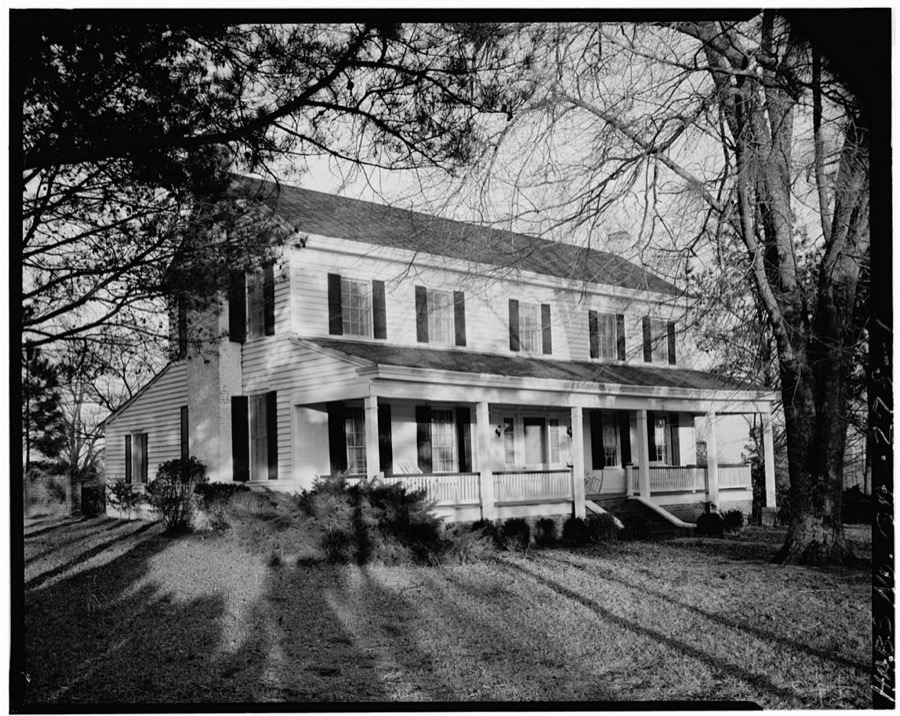
Taken for the Office of War Information and the Farm Security Administration, who photographed the country between 1935 and 1944. Works of United States government photographers, with no known restriction on use. Each opens its catalogue record.
Every property in this county listed on the National Register of Historic Places, with the year it was listed and the federal nomination document.
| Photograph | Property | Type | Listed | Reference |
|---|---|---|---|---|
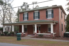 | Elam-Camp House | building | 1982 | 82002498 |
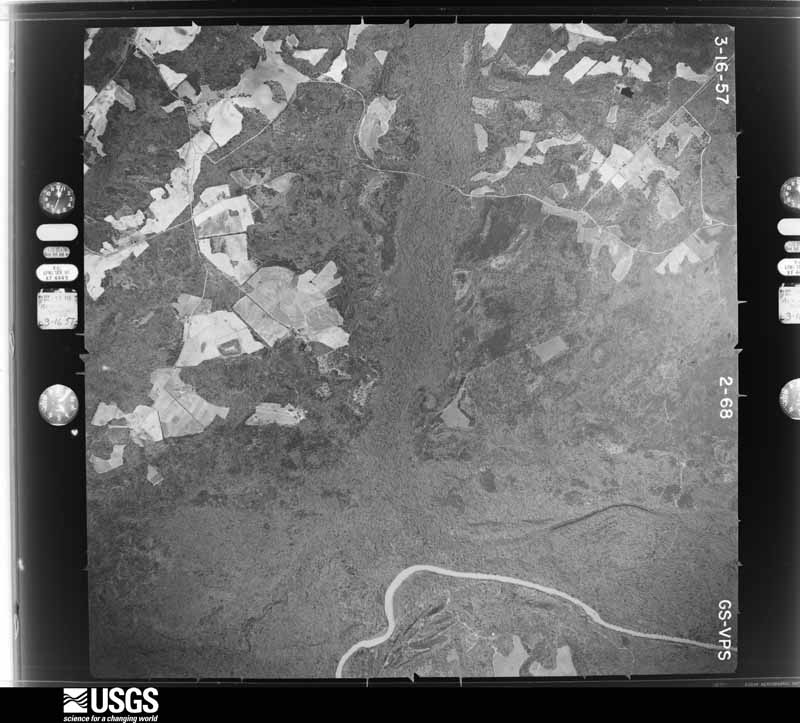
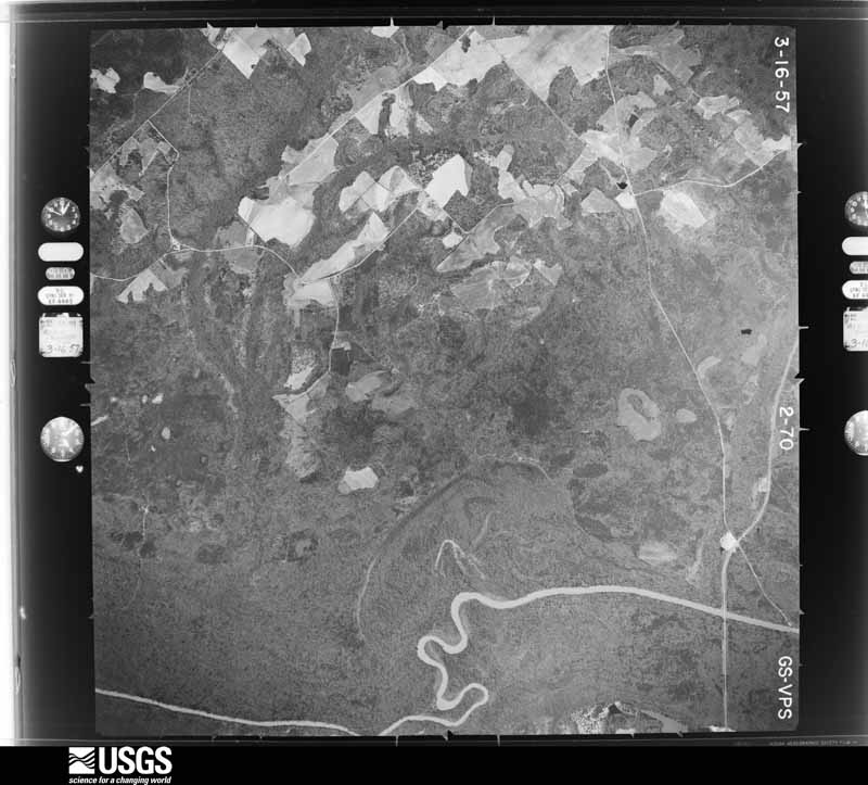
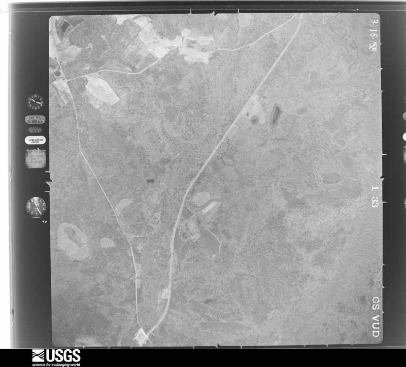
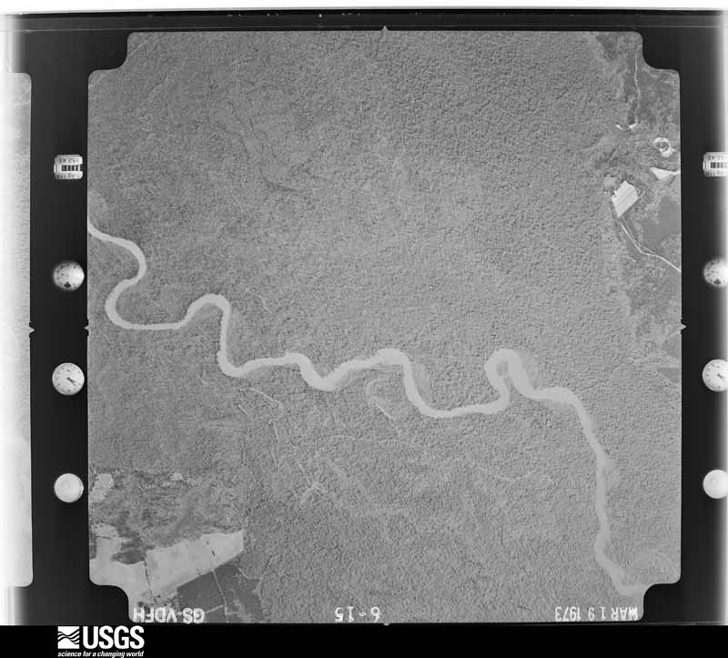
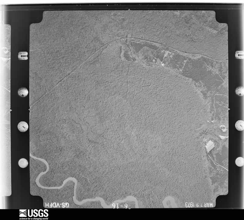
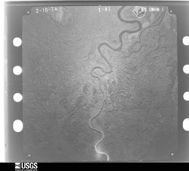
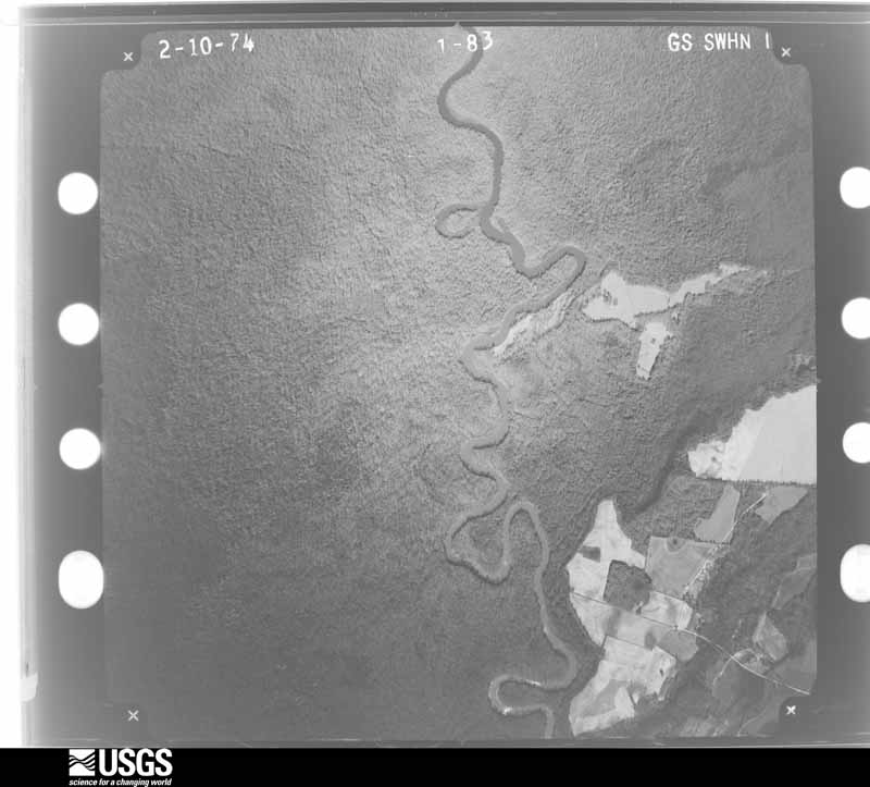
Flown by the U.S. Geological Survey between 1937 and 1989, the Aerial Photo Single Frames collection is the definitive mid-century view of the land: fields, roads and rivers as the camera saw them. The Survey holds 771 frames inside the rectangle that bounds this county; the 20 frames below were taken over the county itself, chosen across the decades of flights (at most four a year from that rectangle), so one flight cannot crowd out the rest. The full set is free to browse and download at EarthExplorer under the dataset Aerial Photo Single Frames.





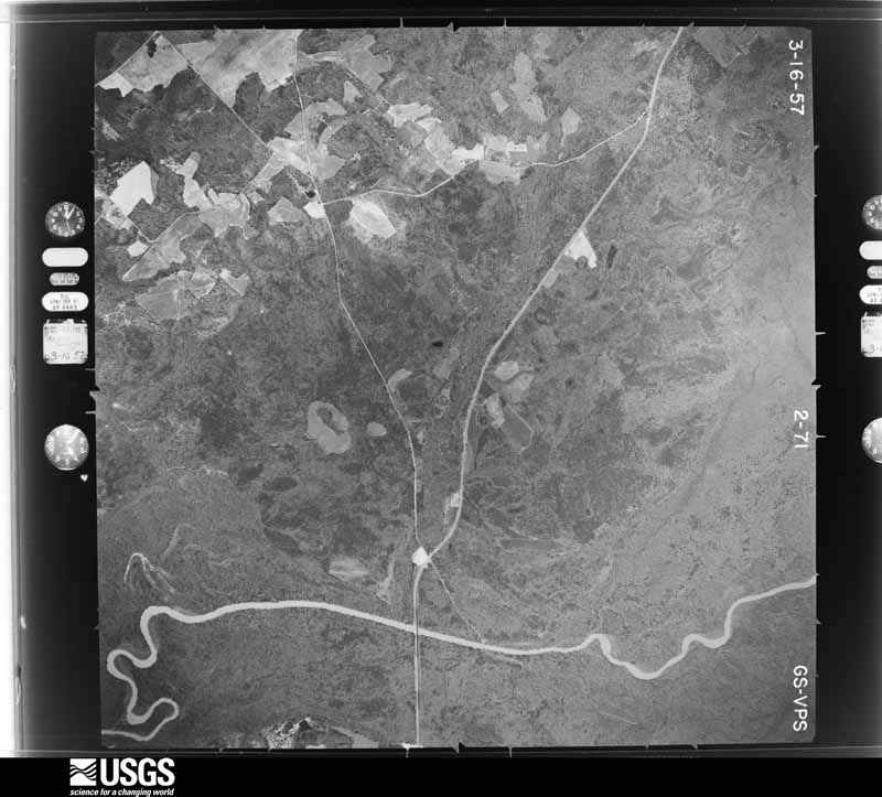
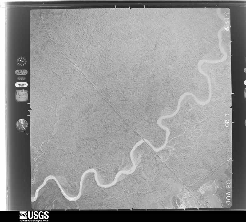
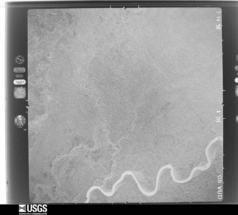
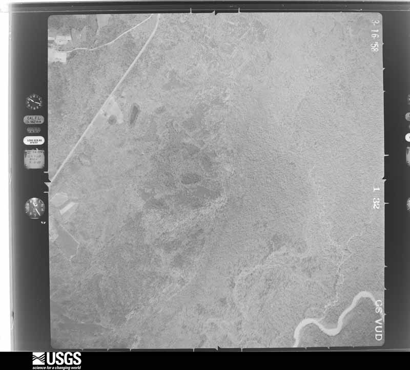




The thermometers that kept this county's weather, and the gages that measured the flow of its streams, as the federal records hold them. The extremes below are measured values from those records, not estimates.
Who lived here in 1950, one enumeration district at a time, as the Census Bureau described each district. Each row opens its official National Archives result, with Population Schedules and ED Maps available there.
Every wildfire the federal occurrence database records inside this county: 1,304 of them, burning about 5,227 acres. 63 started naturally and 104 were recorded as arson. Each settlement page carries the fires within five miles of it.
| Reported cause | Fires |
|---|---|
| Debris and open burning | 697 |
| Smoking | 143 |
| Equipment and vehicle use | 111 |
| Arson/incendiarism | 104 |
| Missing data/not specified/undetermined | 103 |
| Natural | 63 |
| Misuse of fire by a minor | 37 |
| Recreation and ceremony | 35 |
| Railroad operations and maintenance | 11 |
The five largest, by the area the report gives. 6 of them were set deliberately.
| Date | Cause | Size | Reported by | Name on the report |
|---|---|---|---|---|
| 22 May 2007 | Arson/incendiarism | 206 acres | Georgia Forestry Commission | TRIANGLE FIRE |
| 16 March 2008 | Arson/incendiarism | 189 acres | Georgia Forestry Commission | not named |
| 27 February 2002 | Arson/incendiarism | 142 acres | Georgia Forestry Commission | FY2002-WILKINSON-042 |
| 9 April 1996 | Arson/incendiarism | 107 acres | Georgia Forestry Commission | not named |
| 18 March 1999 | Debris and open burning | 84 acres | Georgia Forestry Commission | not named |
| 6 August 1998 | Arson/incendiarism | 84 acres | Georgia Forestry Commission | not named |
| 13 September 1999 | Debris and open burning | 70 acres | Georgia Forestry Commission | not named |
| 12 May 1996 | Arson/incendiarism | 69 acres | Georgia Forestry Commission | not named |
Every settlement page carries the fires within five miles of it - see the settlement index below.
The NOAA Storm Events Database holds 153 reports for this county, causing 1 death, 1 injury and about $965,100 in recorded property damage. Each settlement page carries the reports that name it.
| Kind of event | Reports |
|---|---|
| Thunderstorm Wind | 100 |
| Hail | 34 |
| Tornado | 13 |
| Lightning | 2 |
| Flood | 2 |
| Flash Flood | 2 |
The most serious of them, by death, then injury, then recorded damage. The accounts are quoted exactly as the forecast office filed them.
| When | Event | Place named | Harm | What the report says |
|---|---|---|---|---|
| July 2015 | Thunderstorm Wind | Toomsboro | 1 killed | A Macon television news station reported that a 12 year old boy was killed while camping when a large branch was blown out of the top of a tree landing on the tent where the boy and his family were fishing. |
| March 1980 | Tornado (F1) | not stated | 1 hurt, $25,000 | no account filed |
| March 2023 | Flash Flood | Ivey | $100,000 | The Emergency Manager relayed a report of a dam breach at Lake Tchukolako following a period of heavy rainfall. In the preceding 36-hours, the area of the lake and the immediate upstream basin received 3 to 5 inches of rain, causing the dam to be overwhelmed. Although the dam failed at approximately 1 AM EST March 28, it was being monitored for 'imminent failure' through the day March 27. The failure resulted in flooding and the subsequent closure of Wrigley Road. This dam had previously failed in May 2020, and repairs were complete in summer 2022. |
| April 2017 | Tornado (EF2) | Brooks | $100,000 | A National Weather Service survey team found that an EF2 tornado with maximum wind speeds of 115 MPH and a maximum path width of 200 yards developed southwest of the town of Gordon near the intersection of Highway 57 and Mission Farm Road. The tornado travelled northeast crossing Highway 18 as it entered the community of Gordon. The tornado turned east and quickly strengthened to EF2 strength as it moved|through the Gordon community. Several small business structures were severely damaged and large trees within a local community park area were uprooted as the tornado moved east along Paper Mill Road. The tornado lifted after moving through the local park. This thunderstorm would later produce an EF0 tornado several miles east as it moved north of McIntyre. No injuries were reported. [04/03/17: Tornado # 19, County #1/1, EF-2, Wilkinson, 2017:051]. |
| May 1995 | Thunderstorm Wind | McIntyre | $100,000 | Thunderstorm winds knocked over several large tree limbs in all communities. Ivey was the hardest hit, as fallen tree limbs destroyed several roofs and at least on greenhouse. In McIntyre at least one house fire was started by tree limbs falling on powerlines leading into the home. |
| August 2003 | Thunderstorm Wind | Mc Intyre | $75,000 | The Wilkinson County News reported that thunderstorm winds caused extensive damage, with trees blown down onto roads, bridges, railroad tracks, and power lines. Several homes were severely damaged when large trees fell on or through the roofs of the homes. A large tree was also blown down at the Unimin Corporation. At least two roads were blocked because of downed trees. Crews worked much of the night to restore electrical and phone service to the area and clean debris from the roadways. |
| May 2008 | Tornado (EF1) | Gordon | $50,000 | A damage survey conducted by the National Weather Service Forecast Office in Peachtree City confirmed that the EF0 to EF1 tornado that first touched down near Fitzpatrick in central Twiggs county continued eastward across eastern Twiggs county and into Wilkinson county. The tornado entered Wilkinson county about 4 1/3 miles southeast of Myricks Mill and continued on an almost due eastward track to the far southeastern part of the county, lifting about eight miles southeast of Toombsboro. The tornado entered the county with an EF0 strength rating. As the tornado continued eastward it began to parallel Georgia Highway 96 where it crosses U.S. Highway 441, about five miles south of Irwinton. A mobile home was damaged on Beaver Dam Road near this point as the the tornado briefly strengthed to an EF1. Little to no other structural damage was observed, but numerous trees and power lines were down along the path of the tornado. Maximum winds within the tornado were estimated at 90 mph with a maximum path width of 100 yards. |
| March 2019 | Tornado (EF1) | Mc Rae Tlfr Whlr Arp | $45,000 | A National Weather Service survey found that an EF1 tornado with maximum wind speeds of 105 mph and a maximum path width of 630 yards occurred in Wilkinson County. The same supercell thunderstorm that produced tornadoes in Crawford, Peach and Twiggs Counties produced a third tornado that touched down south of Toomsboro just west of Highway 112 near the intersection with Camp Creek Road. The tornado quickly reached EF1 strength, downing and snapping trees as it crossed Highway 112. The tornado continued northeast, reaching its maximum width as it crossed Highway 57. Numerous trees were snapped and uprooted in this area. The tornado moved northeast through a very rural wooded area and reached the Dixie Kaolin Mine where the Emergency Manager reported numerous trees snapped or uprooted with some damage to the roofs of buildings at the mine site. The tornado dissipated in the wooded area northeast of the mine. No injuries were reported. [03/03/19: Tornado #7, County #1/1, EF1, Wilkinson, 2019:012]. |
| April 2017 | Tornado (EF0) | Toomsboro | $30,000 | A National Weather Service survey team found that an EF1 tornado briefly touched down in east central Wilkinson County near the intersections of Poplar Springs Church Road, Highway 112 and Club Drive. A single-wide trailer was shifted off its foundation with two people at home at the time. No injuries were reported. Another trailer had some loss of shingles and a collapsed carport. There were also nearby trees snapped. [04/03/17: Tornado #24, County #1/1, EF-1, Wilkinson, 2017:056]. |
| March 2007 | Tornado (EF2) | Nickelsville | $30,000 | A damage survey conducted by the National Weather Service Forecast Office in Peachtree City, Georgia concluded that an EF2 tornado had touched down in southwest Wilkinson county about 4.5 miles west-southwest of Nicklesville and tracked over 13 miles to a point nine miles northeast of Nicklesville. The maximum path width was 1/2 mile. The tornado traveled through a mostly rural area. Damage was confined mainly to trees and power lines. Most of the damage was focused along Georgia Highway 112. One home sustained minor to moderate damage. |
| April 2017 | Tornado (EF0) | Mt Carmel | $25,000 | A National Weather Service survey team found that the thunderstorm responsible for the EF2 tornado around Gordon in northwest Wilkinson County produced an EF0 tornado in northern Wilkinson County. The tornado touched down near the intersection of Sheppard Bridge Road and DP Carr Road and travelled northeast crossing Mt. Carmel Road and US Highway 441 before ending around the intersection of Smith Startley Road and Wriley Road. Although most of the path consisted of snapped trees, the tornado caused roof damage to a residence at the intersection of Napier Pond-|Wriley Road and Parker Hill Road. No injuries were reported. [04/03/17: Tornado #21. County #1/1, EF-0, Wilkinson, 2017:053]. |
| April 2011 | Lightning | Irwinton | $25,000 | The Wilkinson County Emergency Management Director reported that a business was damaged in a lightning-related fire. |
| May 2008 | Thunderstorm Wind | Ivey | $25,000 | The Wilinson County 911 Center reported that an apparent microburst or downburst blew down dozen of trees and at least 10 power lines across the county. According to the radar data, winds up to 60 mph, and in a few cases likely in excess of 60 mph, likely occurred across the north central, central, and west central part of the county from northeast of Ivey to west of Irwinton. |
| June 1999 | Thunderstorm Wind | Countywide | $25,000 | The Wilkinson county emergency manager reported trees and powerlines down throughout the county. A newspaper account said the wind damaged the back porch of a home in McIntyre and lifted the roof from a pole barn. The homeowner's car was also damaged by hail. |
| April 2017 | Tornado (EF0) | Lindsey | $20,000 | A National Weather Service survey team found an EF0 tornado with maximum wind speeds of 80 MPH and a maximum path width of 150 yards touched down in southern Wilkinson county along Quinn Williams Road just north of Highway 112. This weak|tornado snapped or uprooted several trees as it moved east crossing US Highway 441 and South Sandy Creek before crossing into Laurens County. No injuries were reported. [04/03/17: Tornado #23, County #1/2, EF-0, Wilkinson, Laurens, 2017:055]. |
| April 2017 | Tornado (EF1) | Cooktown | $20,000 | A National Weather Service survey team found that an EF1 tornado with maximum wind speeds of 90 MPH and a maximum path width of 150 yards moved east from Twiggs County into Wilkinson County west of Tarpley Road. The Tornado weakened somewhat but still snapped or uprooted a few trees. After crossing Old Macon Road the tornado ended along Knightpond Road where it briefly intensified and uprooted a few large oak trees. No injuries were reported. [04/03/17: Tornado #20, County #2/2, EF-1, Twiggs, Wilkinson, 2017:052]. |
| April 2016 | Tornado (EF0) | Cooktown | $20,000 | A National Weather Service survey team found that the EF-1 tornado in eastern Twiggs County crossed a short distance into Wilkinson County after weakening to EF-0 strength, with maximum wind speeds around 75 MPH, leaving a sporadic path of damage in the southern portion of Allentown before ending along U.S. Highway 80. [04/01/16: Tornado #4, County #2-2, EF1, Twiggs-Wilkinson, 2016:004]. |
| June 2014 | Thunderstorm Wind | Toomsboro | $20,000 | Ham radio operators reported a tree on a house east of Toombsboro, as well as several additional trees down on Highway 57 near the Washington County line. |
| April 2011 | Thunderstorm Wind | Gordon | $15,000 | The Wilkinson County 911 Center reported widespread tree damage across the entire county. Dozens of trees were down throughout the county. |
| January 2017 | Tornado (EF1) | Irwinton | $10,000 | A National Weather Service survey team found that an EF1 tornado with maximum wind speeds of 95 MPH and a maximum path width of 100 yards began along the Highway 441 Bypass on the southern edge of Irwinton where several trees were blown down. The tornado moved east-northeast crossing Bear Camp and Water Fork Roads before meeting up with and travelling along Highway 57 into Toomsboro downing several more trees along the way. [01/21/17: Tornado #15, County #1/1, EF1, Wilkinson, 2017:016]. |
| May 2008 | Thunderstorm Wind | Nickelsville | $10,000 | A damage survey conducted by the National Weather Service Forecast Office in Peachtree City, Georgia concluded that straight-line winds of 60 to 70 mph caused damage to many trees and power lines south of an EF0 to EF1 tornado that tracked from the Twiggs/Wilkinson county line, about 4 1/3 miles southeast of Myricks Mill to eight miles southeast of Toomsboro. The straight-line wind damage was generally found to be up to three miles south of the tornado track. |
| July 1998 | Lightning | Mc Intyre | $10,000 | A lightning strike started a fire in the ceiling of a building that houses training center facilities at the Englehard's Edgars plant. |
| August 2020 | Thunderstorm Wind | Gordon | $8,000 | The Wilkinson County Emergency Manager reported several trees blown down across the county from the Twiggs County line south of Gordon, across Irwinton to west of Toomsboro. |
| June 2016 | Thunderstorm Wind | Toomsboro | $8,000 | The Wilkinson County 911 center reported multiple trees and power lines blown down near Toomsboro. |
| August 2015 | Thunderstorm Wind | Gordon | $8,000 | The Wilkinson County 911 Center reported trees blown down from around Gordon to Irwinton, including on Zollie Lavender Road, Papermill Road, Highway 112, Highway 57, Riley Road, Allen Street, Church Street and Asbell Road. |
| July 2018 | Thunderstorm Wind | Toomsboro | $6,000 | The Wilkinson County 911 center reported trees and power lines blown down from around the intersection of Highway 57 and Branan Road southwest of Toomsboro to around the intersection of Club Road and Beaver Dam Road and around the intersection of Highway 112 and Old Balls Ferry Road south of Toomsboro. |
| July 2017 | Thunderstorm Wind | Brooks | $6,000 | The Wilkinson County Emergency Manager reported trees and power lines blown down across the northwest part of the county from Highway 18 near Bob Martin Road to Lakeshore Drive near the Fall Line Freeway. |
| June 2015 | Thunderstorm Wind | Mc Intyre | $6,000 | The Wilkinson County 911 Center reported trees blown down from around Dedrick Road and Highway 57 west of McIntyre to Highway 112 in Toomsboro. |
| November 2014 | Thunderstorm Wind | Irwinton | $6,000 | The Wilkinson County 911 Center reported trees and power lines down across the county. |
| May 1997 | Thunderstorm Wind | Irwinton | $6,000 | Several trees were downed by thunderstorm winds. Trees were reportedly on mobile homes, and power lines near Georgia highway 18. |
| April 2020 | Thunderstorm Wind | Cooktown | $5,000 | Multiple power lines reported down by trained spotter, near the intersection of 1st and Williams Road near Danville. |
| July 2013 | Thunderstorm Wind | Toomsboro | $5,000 | The Wilkinson County 911 Center reported numerous trees and power lines down across the county. |
| July 2007 | Thunderstorm Wind | Gordon | $5,000 | The Wilkinson County Emergency Management Director reported that several trees, at least 15, were down,scattered about the county. At least two power lines were also down within the county. |
| May 2003 | Thunderstorm Wind | Countywide | $5,000 | The Wilkinson county 911 center reported that a number of trees were blown down around the county. |
| July 1998 | Thunderstorm Wind | Countywide | $5,000 | The Wilkinson county sheriff's office reported trees and power lines down county-wide. |
| January 2017 | Thunderstorm Wind | Irwinton | $4,000 | The Wilkinson County 911 center reported several trees blown down onto Highway 96. |
| June 2015 | Thunderstorm Wind | Toomsboro | $4,000 | The Wilkinson County 911 Center reported several trees blown down on Sheppard Street near the intersection of Highway 112 and Highway 57 in Toomsboro. |
| June 2015 | Thunderstorm Wind | Toomsboro | $4,000 | The Wilkinson County 911 Center reported trees blown down along Highway 57 east of Toomsboro. |
| June 2000 | Thunderstorm Wind | Irwinton | $4,000 | The Wilkinson County 911 center reported lots of trees down in Irwinton on Georgia Highway 57 and a power line down on Georgia Highway 112, five miles northwest of Toomsboro. |
| January 2014 | Thunderstorm Wind | Irwinton | $3,000 | A trained spotter reported multiple trees down in Irwinton, as well as trees down east of Irwinton along Highway 57. |
| May 2014 | Thunderstorm Wind | Irwinton | $3,000 | The Wilkinson County 911 Center reported that numerous trees and power lines were down throughout Irwinton. |
| August 2012 | Thunderstorm Wind | Toomsboro | $3,000 | Amateur radio operators relayed reports of numerous trees down in the Toomsboro area. |
| May 2011 | Thunderstorm Wind | Nickelsville | $3,000 | The Wilkinson County 911 Center reported that several trees were down between Nicklesville and Toomsboro. |
| June 2011 | Thunderstorm Wind | Irwinton | $3,000 | The Wilkinson County Emergency Management Director reported that at least 10 trees were down in the Irwinton area. |
| July 2011 | Thunderstorm Wind | Mc Intyre | $3,000 | The Wilkinson County Emergency Management Director reported that several trees were blown down just off U.S. Highway 441 north of McIntyre in the north central and northeast part of the county. |
| June 2011 | Thunderstorm Wind | Irwinton | $3,000 | The Wilkinson County 911 Center reported that six trees were down in the vicinity of Irwinton and six more trees were down in the vicinity of McIntyre. |
| August 2007 | Thunderstorm Wind | Mc Intyre | $3,000 | WMAZ Telvision of Macon, Georgia relayed a report from the public of several trees and power lines down in the McIntyre and Toomsboro areas. This was the result of a thunderstorm microburst or downburst. |
| June 2004 | Thunderstorm Wind | Gordon | $3,000 | The Wilkinson County 911 center reported that a few trees and power lines were down along Georgia Highway 57 along the Wilkinson/Twiggs county line west of Massey Hill and also east of Gordon on Gordon-McIntyre Road. |
| February 2003 | Thunderstorm Wind | Irwinton | $3,000 | The Wilkinson county 911 center reported that several trees and some power lines were down. |
| May 2003 | Thunderstorm Wind | Gordon | $3,000 | The Wilkinson county 911 center reported that a number of trees had been blown down. |
| July 1997 | Thunderstorm Wind | Toomsboro | $3,000 | Thunderstorm winds knocked down several trees and power lines. |
| June 1997 | Thunderstorm Wind | Ivey | $3,000 | Several trees were knocked down. |
| March 1997 | Thunderstorm Wind | Irwinton | $3,000 | no account filed |
| July 2012 | Thunderstorm Wind | Toomsboro | $2,500 | The Wilkinson County 911 Center reported numerous trees down in Toomsboro. |
| July 2017 | Thunderstorm Wind | Goldens Mill | $2,000 | Wilkinson County 911 Center reported a tree down along Hwy 112, about 2 miles from the Baldwin County line. |
| July 2017 | Thunderstorm Wind | Mc Intyre | $2,000 | The Wilkinson County 911 center reported a tree down around Highway 57 and JR Sims northwest of Irwinton. |
| August 2016 | Thunderstorm Wind | Gordon | $2,000 | The Wilkinson County 911 center reported trees blown down along Highway 441 north of McIntyre and on College Street at Brooks Street in Gordon. |
| June 2013 | Thunderstorm Wind | Gordon | $2,000 | The Wilkinson County Deputy Emergency Manager reported several trees down from near Clear Creek Baptist Church on Highway 18 to Dedrick Road. |
| July 2012 | Thunderstorm Wind | Irwinton | $2,000 | The Wilkinson County 911 Center and the Sheriff reported several trees down across the county. |
| November 2011 | Thunderstorm Wind | Gordon | $2,000 | The Wilkinson County 911 Center reported that approximately five trees were down from the Twiggs county line west of McIntyre into the McIntyre and Irwinton areas. |
The Survey's mineral resources record lists 76 workings inside this county. 30 still produce and 46 are closed or unrecorded. Each settlement page carries the workings within five miles of it.
| Commodity | Workings |
|---|---|
| Kaolin | 45 |
| Aluminum | 24 |
| Clay | 5 |
| Aluminum, Kaolin | 2 |
| Sand and Gravel, Construction | 1 |
| Fire Clay (Refractory) | 1 |
| Kaolin, Aluminum | 1 |
The least common of them first, because a county's hundredth gravel pit says nothing its first ten did not.
| Where | Site | Commodity | Status | Recorded |
|---|---|---|---|---|
| Drill Site 3 | Kaolin, Aluminum | Prospect | ||
| Hardie Mine | Fire Clay (Refractory) | Producer | ||
| M & W Sand Pit | Sand and Gravel, Construction | Producer | Alluvium | |
| Drill Prospect 4 | Aluminum, Kaolin | Prospect | ||
| Irwinton Bauxite District | Aluminum, Kaolin | Past Producer | SEDIMENTARY | |
| Evans Clay Co Mine | Clay | Producer | ||
| Mcintyre Mill | Clay | Producer | ||
| Toddville Plant No. 2 and 6 | Clay | Producer | ||
| Toddville Plants 6c & 8 | Clay | Producer | ||
| Wilkinson County Mine | Clay | Past Producer | ||
| Adkins Mine | Aluminum | Past Producer | ||
| Baum Mine | Aluminum | Past Producer | ||
| Bush Mine | Aluminum | Past Producer | ||
| Cannon Mine | Aluminum | Past Producer | ||
| Cason Mine | Aluminum | Past Producer | ||
| Cason Prospect | Aluminum | Prospect | ||
| Columbia Mine | Aluminum, Kaolin | Past Producer | ||
| Criswell Prospect | Aluminum | Prospect | ||
| Dupree Prospect | Aluminum | Prospect | ||
| Fitzpatrick Mine | Aluminum, Kaolin | Past Producer | ||
| Fountain Mine | Aluminum | Past Producer | ||
| Freeman Mine | Aluminum | Past Producer | ||
| Hightower Mine | Aluminum | Past Producer | ||
| Mcintyre Mine | Aluminum | Past Producer | ||
| Mcneal Prospect | Aluminum | Prospect | ||
| Nadine Mine | Aluminum | Past Producer | ||
| Old Dupont Mine | Aluminum | Past Producer | ||
| Prospect Pit | Aluminum | Prospect | ||
| Prospect Pit | Aluminum | Prospect | ||
| Prospect Pit | Aluminum | Prospect | ||
| Prospect Pit | Aluminum | Prospect | ||
| Shepherd Mine | Aluminum, Kaolin | Past Producer | ||
| Underwood Mine | Aluminum | Past Producer | ||
| Washington Mine | Aluminum | Past Producer | ||
| Anglo-American Wilkinson Mine | Kaolin | Producer | ||
| Bentley-Boone Mine | Kaolin | Producer | ||
| Clear Creek Mine | Kaolin | Occurrence | ||
| Cobb Pit | Kaolin | Producer | ||
| Dixie Mine | Kaolin | Producer | ||
| Edgar Mill | Kaolin | Producer | ||
| Englehard Corp. | Kaolin | Occurrence | ||
| Forestry Ll 124 | Kaolin | Producer | ||
| Forestry-Ll 144 | Kaolin | Producer | ||
| Fountain Road Pit | Kaolin | Occurrence | ||
| Ga Kaolin Mine 58 | Kaolin | Producer | ||
| Ga Kaolin Mine 59 | Kaolin | Producer | ||
| Ga Kaolin Mine 67 | Kaolin | Producer | ||
| Ga Kaolin Mine 70 | Kaolin | Producer | ||
| Georgia Kaolin Company. | Kaolin | Occurrence | ||
| Gibraltar Mine | Kaolin | Producer | ||
| Gilbralter Mine | Kaolin | Producer | ||
| Glawson Mine | Kaolin | Producer | ||
| Griffin Mill | Kaolin | Producer | ||
| Hardie Clay Mine | Kaolin | Occurrence | ||
| Huber Wilkinson County Mine | Kaolin | Producer | ||
| Kaolin Mine | Kaolin | Past Producer | ||
| Kaolin Mine | Kaolin | Past Producer | ||
| Kaolin Mine | Kaolin | Past Producer | ||
| Kaolin Mine | Kaolin | Past Producer | ||
| Kaolin Mine | Kaolin | Past Producer | ||
| Kaolin Mine | Kaolin | Past Producer | ||
| Kaolin Mine | Kaolin | Past Producer | ||
| Kaolin Mines | Kaolin | Past Producer | ||
| Kaolin Mines | Kaolin | Past Producer | ||
| Kaolin Mines | Kaolin | Past Producer | ||
| Klondyke Mine & Mill | Kaolin | Plant | ||
| Otha Bell Mine | Kaolin | Producer | ||
| Owen-Sheppard Mine | Kaolin | Producer | ||
| Prim Mine | Kaolin | Producer | ||
| Sapp Mine | Kaolin | Occurrence | ||
| Sims Pit | Kaolin | Occurrence | ||
| Wall Mine | Kaolin | Producer | ||
| Watkins Mine | Kaolin | Occurrence | ||
| Watkins Mine | Kaolin | Producer | ||
| Watkins Pit | Kaolin | Producer | ||
| Youngblood Mine | Kaolin | Producer |
Named settlements recorded in the Geographic Names Information System, each with the topographic sheets covering it. Villages, hamlets and abandoned places alike. Each is shown with the nearest named watercourse or landform and the survey quadrangle it falls on.
Irwinton census division · 31054 · Napier Pond quadrangle
12 sheets, 1916 to 1988
No longer a settlement
Allentown census division · 31065 · On Horse Branch · Stuckey Boone Lake quadrangle
8 sheets, 1957 to 1988
Irwinton census division · 31054 · On Little Commissioner Creek · Irwinton quadrangle
13 sheets, 1916 to 1988
Irwinton census division · 31054 · On Little Commissioner Creek · Irwinton quadrangle
13 sheets, 1916 to 1988
Irwinton census division · 31054 · On Bull Branch · Napier Pond quadrangle
12 sheets, 1916 to 1988
No longer a settlement
Irwinton census division · 31042 · On Helton Branch · Irwinton quadrangle
13 sheets, 1916 to 1988
Irwinton census division · 31054 · On Little Commissioner Creek · Irwinton quadrangle
13 sheets, 1916 to 1988
Irwinton census division · 31054 · Napier Pond quadrangle
12 sheets, 1916 to 1988
No longer a settlement
Toomsboro census division · 31090 · On Edmonds Branch · Toomsboro quadrangle
12 sheets, 1916 to 1988
Toomsboro census division · 31090 · On Nelson Branch · Irwinton quadrangle
13 sheets, 1916 to 1988
Irwinton census division · 31054 · Napier Pond quadrangle
12 sheets, 1916 to 1988
No longer a settlement
The vanished settlements of Wilkinson County: the places named above that are no longer on the map.
The complete index, with nothing left out. Each of these is a separate record with its own page: a federal survey report, or the case file that argued a property on to the National Register. Both are public domain and reproduced word for word.
The vanished settlements of Wilkinson County, the places these records name that are no longer on the map.