 Block
Country Wood, Georgia
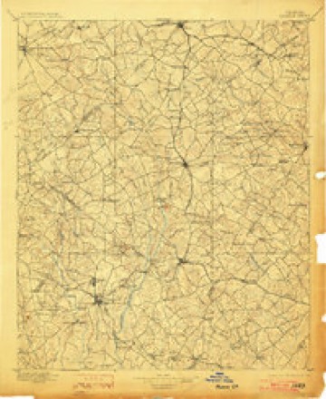
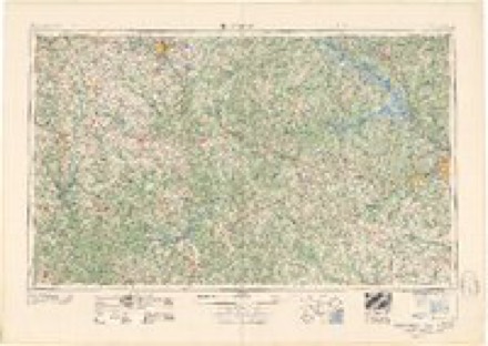
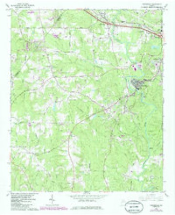
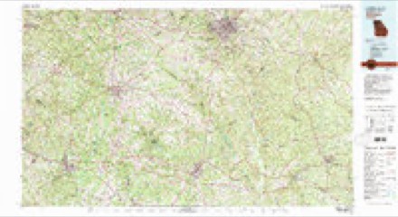
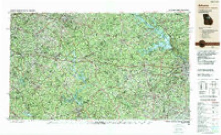
18 topographic sheets cover this place, the earliest surveyed in 1896 and the latest in 1988. It stands in the Covington-Porterdale census division. It lies in ZIP code area 30016. The Survey maps it on the Porterdale quadrangle.
Topographic sheets covering this place
8 surveys from 18 printed sheetsMatched by testing this settlement's coordinate against the published boundary of every sheet in the United States Geological Survey's historical collection. Each opens the scanned sheet at the Survey.
- 1896 USGS Monroe quadrangle1:125000, 5 printings
- 1953 USGS Athens quadrangle1:250000, 3 printings
- 1958 USGS Athens quadrangle1:250000
- 1959 USGS Athens quadrangle1:250000
- 1963 USGS Athens quadrangle1:250000
- 1964 USGS Porterdale quadrangle1:24000, 4 printings
- 1980 USGS Athens quadrangle1:100000, 2 printings
- 1988 USGS Athens quadrangle1:250000
Fires near this place
364 since 1992Regional context, not property-specific evidence. The federal wildfire occurrence database lists 364 fires within 5 miles of Country Wood between 1992 and 2019, burning about 532 acres in total. 14 started naturally. 50 were recorded as arson. Distance is straight-line from the map coordinates, so a fire counted here may appear on a neighbouring settlement's page as well.
| Reported cause | Fires |
|---|---|
| Debris and open burning | 155 |
| Misuse of fire by a minor | 57 |
| Arson/incendiarism | 50 |
| Equipment and vehicle use | 28 |
| Missing data/not specified/undetermined | 26 |
| Smoking | 17 |
| Recreation and ceremony | 14 |
| Natural | 14 |
| Railroad operations and maintenance | 3 |
The most recent of them, most recent first, with the day each was reported and the service that recorded it.
| Date | Cause | Size | Reported by | Name on the report |
|---|---|---|---|---|
| 8 September 1996 | Arson/incendiarism | 1.6 acres | Georgia Forestry Commission | not named |
| 8 September 1996 | Arson/incendiarism | under an acre | Georgia Forestry Commission | not named |
| 8 September 1996 | Arson/incendiarism | under an acre | Georgia Forestry Commission | not named |
| 8 September 1996 | Arson/incendiarism | under an acre | Georgia Forestry Commission | not named |
| 7 September 1997 | Equipment and vehicle use | under an acre | Georgia Forestry Commission | not named |
| 4 September 2019 | Debris and open burning | under an acre | Georgia Forestry Commission | FY2020NEWTON001 |
| 4 September 2016 | Debris and open burning | under an acre | Georgia Forestry Commission | FY2017-NEWTON-002 |
| 30 September 2007 | Recreation and ceremony | under an acre | Georgia Forestry Commission | not named |
Settlements close enough to share some of these fires:
Nearest settlements
The eight closest, with where each one stands in the county. Distances are straight-line, computed from the Geographic Names Information System coordinates.
| Map | Place | Distance | Sheets |
|---|---|---|---|
| Glynn Isles | 0.5 miles | 18 | |
| Millers Glen | 0.7 miles | 18 | |
| Forest Lakes | 0.8 miles | 18 | |
| Buck Creek | 1.0 miles | 18 | |
| Slades Mill | 1.0 miles | 18 | |
| Forest Mill | 1.0 miles | 18 | |
| Oakwood | 1.1 miles | 18 | |
| Country Terrace | 1.1 miles | 18 |
Provenance
This settlement is recorded in the Geographic Names Information System as feature 1673447. The sheet list is computed by point-in-boundary test against the United States Geological Survey's historical topographic inventory. Both are works of the United States government and carry no copyright under 17 U.S.C. 105.
Wildfire. Short, Karen C. 2022. Spatial wildfire occurrence data for the United States, 1992-2020 [FPA_FOD_20221014]. 6th Edition. Fort Collins, CO: Forest Service Research Data Archive. https://doi.org/10.2737/RDS-2013-0009.6 Collected with United States Government funding and usable without additional permissions or fees.