 Block
North Branch, Iowa
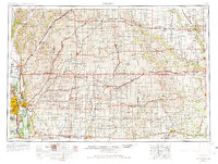
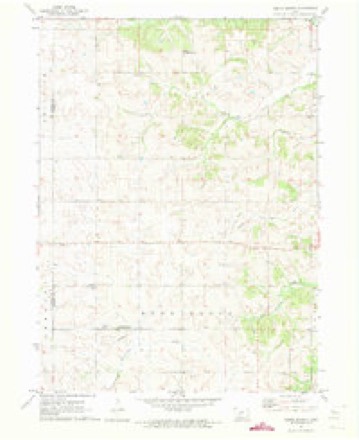
9 topographic sheets cover this place, the earliest surveyed in 1954 and the latest in 1993. It stands in Bear Grove Township. It lies in ZIP code area 50002. The Survey maps it on the North Branch quadrangle.
Topographic sheets covering this place
6 surveys from 9 printed sheetsMatched by testing this settlement's coordinate against the published boundary of every sheet in the United States Geological Survey's historical collection. Each opens the scanned sheet at the Survey.
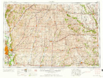
- 1954 USGS Omaha quadrangle1:250000, 3 printings
- 1957 USGS Omaha quadrangle1:250000
- 1958 USGS Omaha quadrangle1:250000, 2 printings
- 1971 USGS North Branch quadrangle1:24000
- 1984 USGS Guthrie Center quadrangle1:100000
- 1993 USGS Guthrie Center quadrangle1:100000
Storms near this place
13 since 2007Regional context, not property-specific evidence. The National Weather Service names North Branch in 13 storm reports between 2007 and 2025: 4 hail, 4 tornado, 2 thunderstorm wind, 1 flash flood. No death or injury is recorded in these reports. Each account below is quoted exactly as the forecast office filed it, from the NOAA Storm Events Database, and each date opens the federal record of that event.
| When | Event | Place named | Harm | What the report says |
|---|---|---|---|---|
| December 2021 | Tornado (EF2) | North Branch | $350,000 | This tornado developed in west central Guthrie county to the west southwest of Wichita. The tornado moved northeast producing EF0 and EF1 damage to trees and outbuildings in rural portions of northwest Guthrie County. The storm passed along the southeast edge of Bayard taking a roof off a house and demolishing a garage on another house. This damage was rated EF2. The tornado exited the county shortly thereafter into Greene County. |
| June 2011 | Lightning | North Branch | $150,000 | no account filed |
| December 2021 | Tornado (EF1) | North Branch | $100,000 | Tornado developed in west central Guthrie county and moved quickly northeast through rural portions of the county. Two farm buildings were destroyed along State Highway 44 with additional outbuilding and house damage to the northeast with most ratings of EF1. The tornado dissipated northeast of the hamlet of Wichita. |
| April 2009 | Flash Flood | North Branch | $20,000 | Flash flooding resulted in the collapse of a culvert at Frontier Rd and 292nd St. |
| May 2007 | Thunderstorm Wind | North Branch | $10,000 | no account filed |
| May 2016 | Tornado (EF0) | North Branch | $5,000 | Tornado photographed and taped by multiple storm chasers and the county Emergency Manager. Damage reported at one farm early in the track where roof paneling was removed from an outbuilding and augers were flipped and rolled to the west and north. Tornado track times matched to appendage on storm that followed the tornado path. Tornado movement was to the northwest. |
| April 2009 | Hail | North Branch | $1,000 | no account filed |
| April 2009 | Hail | North Branch | $1,000 | no account filed |
| April 2025 | Hail | North Branch | - | Ping pong hail near Highway 44 and Cherry avenue. Report relayed by emergency management. |
| December 2021 | Thunderstorm Wind | North Branch | - | Emergency manager reports half inch hail and estimated 65 mph wind at highway 44 and Frontier road. |
| May 2020 | Tornado (EFU) | North Branch | - | Storm Chasers captured a brief tornado in western Guthrie county. The tornado was in a rural location with no damage indicators impacted, therefore the EFU rating. |
| July 2010 | Heavy Rain | North Branch | - | Rainfall for the last 24 hours 1.10 inches. |
| March 2025 | Hail | North Branch | - | no account filed |
Nearest settlements
The eight closest, with where each one stands in the county. Distances are straight-line, computed from the Geographic Names Information System coordinates.
Provenance
This settlement is recorded in the Geographic Names Information System as feature 459557. The sheet list is computed by point-in-boundary test against the United States Geological Survey's historical topographic inventory. Both are works of the United States government and carry no copyright under 17 U.S.C. 105.
Storms. NOAA National Centers for Environmental Information, Storm Events Database https://www.ncei.noaa.gov/stormevents/ A work of the United States government, no copyright under 17 U.S.C. 105. Narratives are quoted verbatim from the National Weather Service report and are not edited or summarised.